






Bhutan Bridge
The starting point of the hike is the mountain village of Unterems at 1003 m above sea level, which can be reached from Turtmann by a small, adventurous aerial cableway. Initially, the route leads downhill...
The starting point of the hike is the mountain village of Unterems at 1003 m above sea level, which can be reached from Turtmann by a small, adventurous aerial cableway. Initially, the route leads downhill over pastureland to the west. Let your gaze wander to the opposite slope – especially in autumn, the fiery red smoke bushes catch the eye here.
The path leads down through the forest to the Emsbach and shortly along a channel further to the Meretschibach. After crossing it, a steep climb follows, where the path above the hamlet of Feithieren leads towards the Illgraben.
The unassuming Illbach becomes a raging torrent with impressive mudflows during thunderstorms or due to a combination of meltwater and rain. The stream has eroded 1500 meters deep into the mountain due to strong erosion and thus built up the valley floor. Today, the Pfynwald and the cultivated fields around the village of Susten are located here. Due to geological activity, the Illgraben is a national research area and is equipped with monitoring and warning systems.
A 134-meter-long suspension bridge spans the Illgraben and was built in 2002 in the United Nations International Year of Mountains together with the Kingdom of Bhutan. The Bhutan Bridge was built in Bhutanese style and is equipped with prayer flags. It symbolizes the connection with the Kingdom of Bhutan, which supported the construction with know-how.
After crossing the bridge, a gentler descent follows through the Pfynwald protected area. The Pfynwald forms the core of the Nature Park and has been officially protected since 1997. It is one of the largest contiguous pine forests in the Alps and is known for its great biodiversity. The endpoint of the hike is located at the northeastern end of the Pfynwald near Leuk train station.
Highlights of the hike:
The geologically interesting Illgraben, whose creek has eroded 1500 m into the rock. The 134 m long Bhutan Bridge built in Bhutanese style. The Pfynwald protected area with its extraordinary biodiversity.
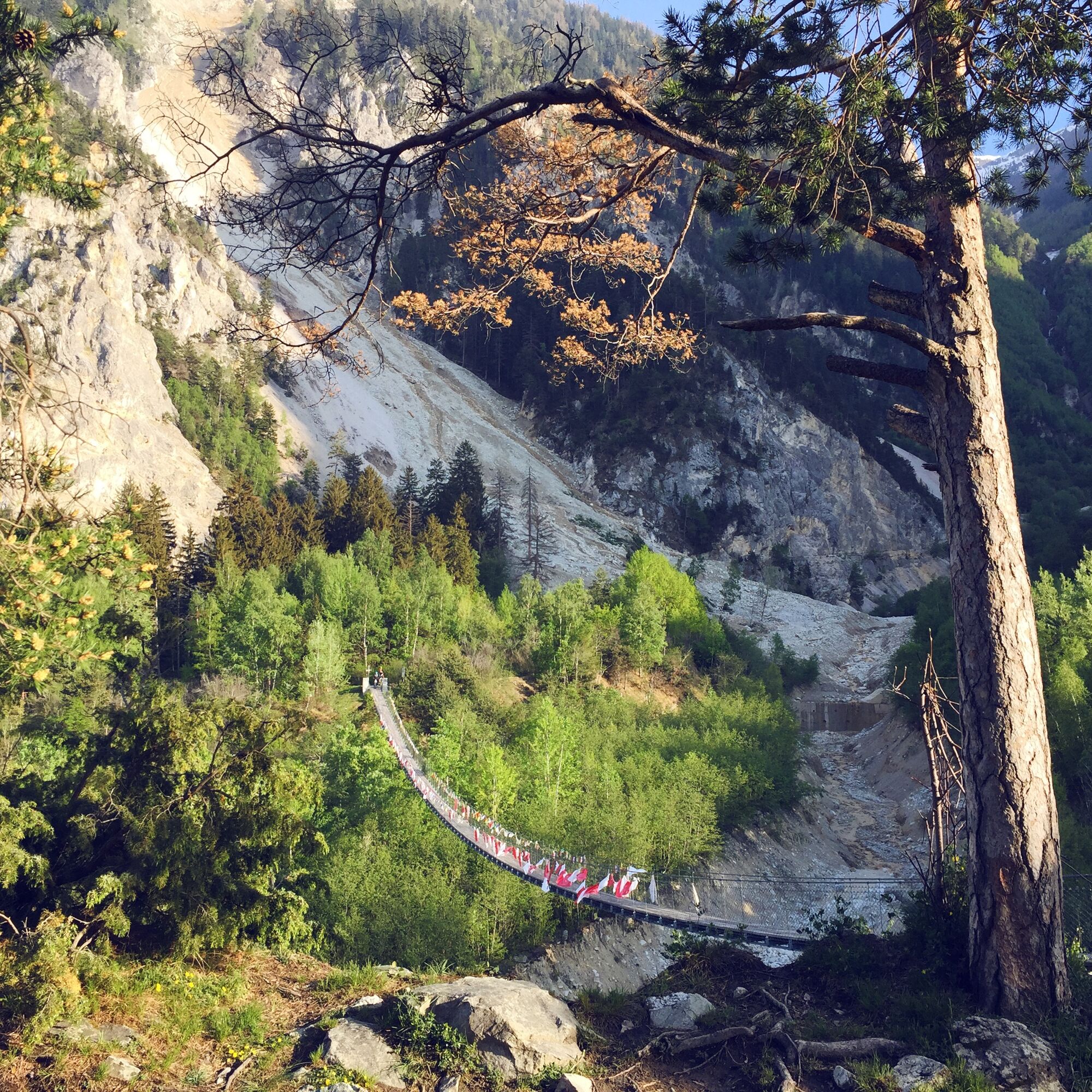
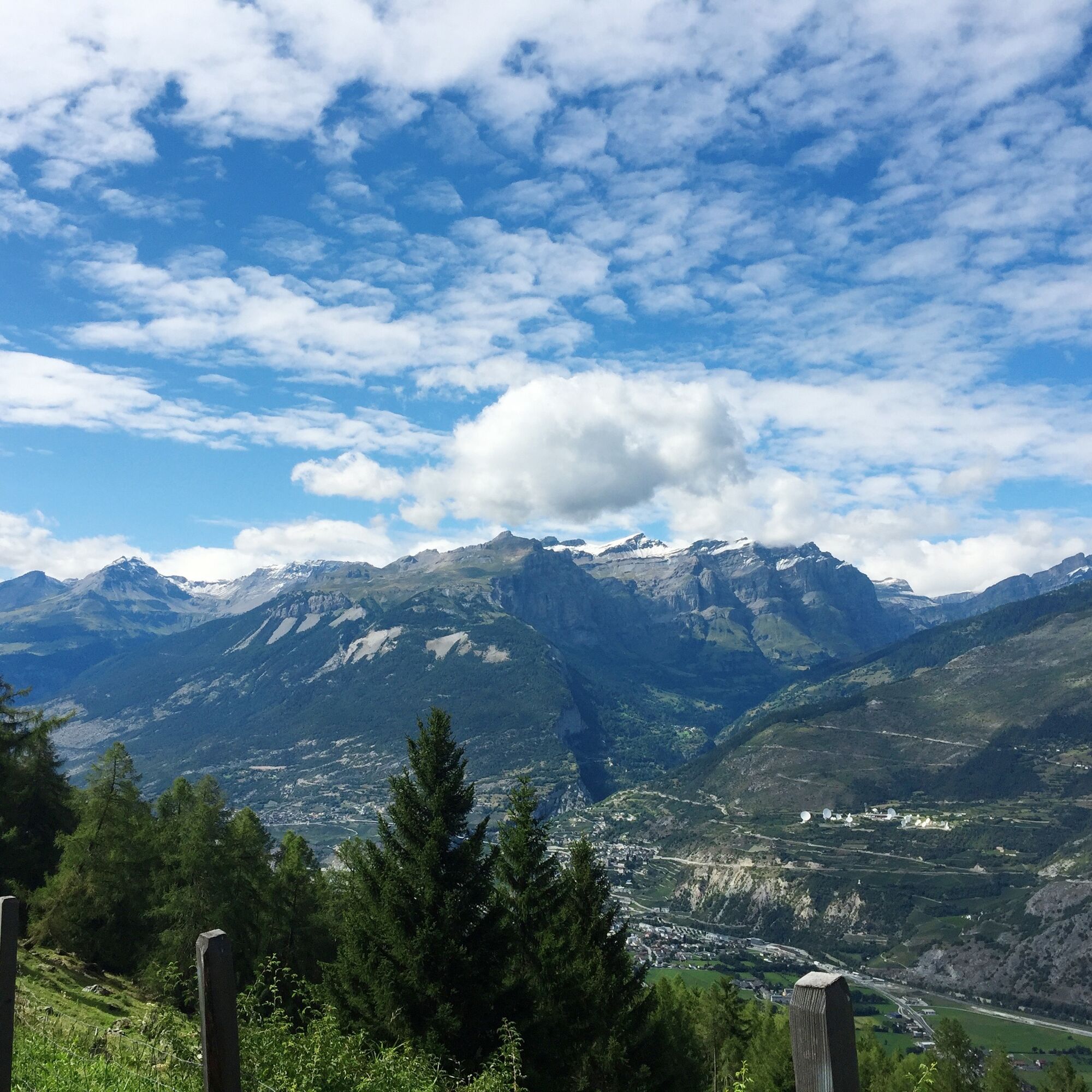
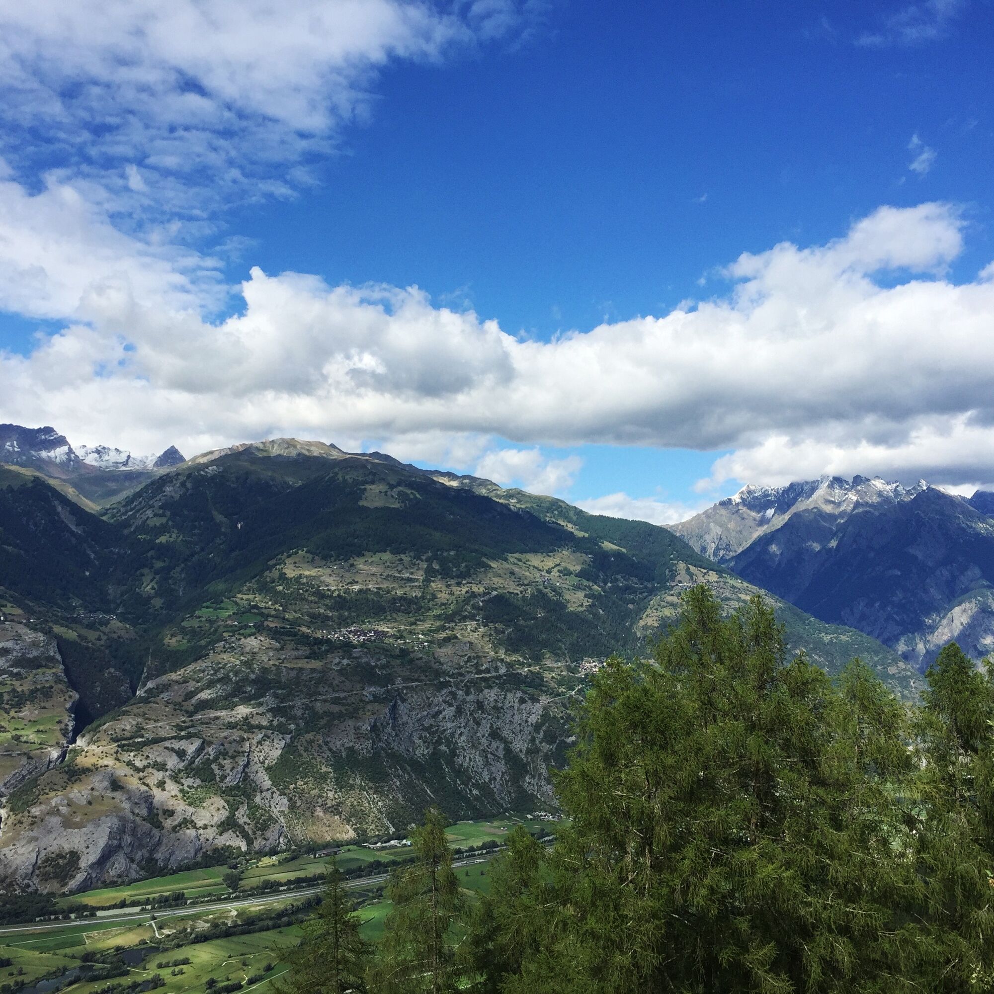
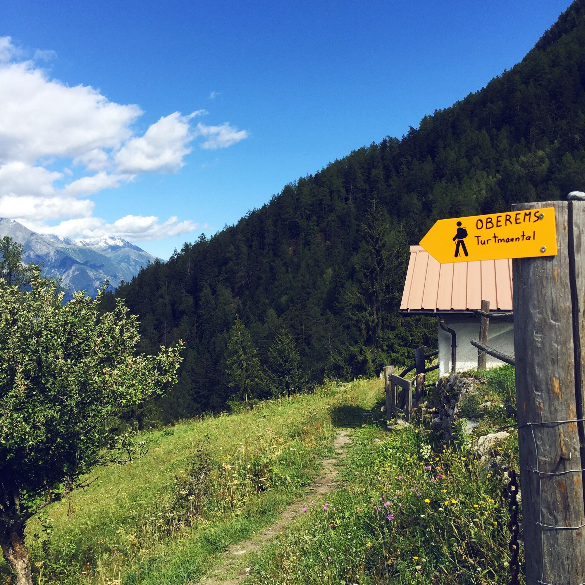

The route starts in the village of Unterems and initially leads downhill westward. After crossing the Emsbach and the Meretschibach, the route ascends into the Untermeschlerwald. You cross this on a relatively flat section until you reach the hamlet of Pletschen, where another ascent leads to the Bhutan Bridge.
The suspension bridge crosses the heavily eroded Illgraben. The route then continues downhill northward through the Pfynwald protected area. At the northeastern end of the forest, the Illbach flows into the Rhone. Not far from here is the endpoint of the hike at Leuk train station.
Da
Da
We recommend:
Good footwear Weather-dependent clothing: always carry a waterproof vest Headgear Sunscreen Water bottle Picnic Camera Binoculars (optional) Hiking poles (optional) Printout of the hiking trail (click "Print" to download)For certain hikes:
SwimsuitThe mountains, a place of joy to share and respect. The mountain world is a place to meet and experience unforgettable moments together – whether by bike or on foot. For all users to benefit from it, it is essential to share this space with respect for nature and agriculture. A respectful attitude allows everyone to enjoy their leisure activities under the best conditions. Inform yourself about recommendations and rules. Assess your own skills and condition well. Using the various routes is always at your own responsibility.
For all hikes:
Carry a map with you. Download the complete description of the hiking trail with a large-scale map by clicking "Print" at the top right of the page. Use only marked hiking trails and observe all signposts and instructions – for your own safety, to protect grazing animals, and out of respect for wildlife. Close gates after passing through. Behave considerately towards other trail users, plants, and animals.For mountain hikes:
Carry additional sun protection. UV rays at high altitudes can be very strong, even in overcast weather. Plan your hike carefully: take into account the required fitness level of all participants, weather forecasts, and seasonal factors. Weather conditions can change very quickly and without warning in the mountains. Appropriate clothing and sufficient provisions (food and drink) are very important. In uncertain weather, it is better to turn back early.For high alpine hikes:
Inform your family about your hiking route. If possible, avoid going alone. Do not go onto glaciers without a mountain guide. Pay attention to warning signs indicating hazards at riverbanks, along streams below dams and reservoirs: water levels can rise quickly and without warning.A9 highway to Leuk. Ideally, park your car in Leuk and continue your journey to Unterems by public transport.
Regular train connections to Turtmann, followed by a bus connection to the valley station of the gondola. Detailed timetables for trains and buses can be found at sbb.ch.
Ideally, park your car at Leuk train station and continue your journey to Unterems by public transport. Follow the local parking guidance system in Susten/Leuk.
More information about the destination:
Leuk-SustenAt Leuk train station is the regional tourism office, which operates a small shop with regional products from the Nature Park at the same location.
Pridobite vpogled
Vedno v živo na mestu z več kot 9.500 spletnimi kamerami. bergfex Kot uporabnik Pro si lahko zdaj ogledate ustrezne spletne kamere za številne izlete v aplikaciji izleti iz. Tako si lahko neposredno ogledate trenutne razmere.
Priljubljeni izleti v okolici
-
4.0
Rundwanderung Lötschenpasshütte
srednjaPohodništvo 12.2 km -
5.0
Moosalp Panoramaweg
svetlobaPohodništvo 6.36 km -
5.0
Bella-Tola
srednjaVisokogorska tura 6.72 km -
4.7
Leukerbad - Gemmipass - Lämmerenhütte
srednjaPohodništvo 9.49 km -
5.0
Restipass
Pohodništvo 14.5 km -
5.0
Torrenthorn- Rigi der Walliser Alpen
Pohodništvo 2.99 km -
4.0
Gemmipass - Lämmerenhütte - Rote Totz Lücke - Daubensee - Gemmipass
srednjaPohodništvo 13.7 km -
Gratweg
Via ferrata 5.16 km -
4.0
Wolfstritt
Pohodništvo 7.02 km -
Talabfahrt (Rinderhütte-Tunnel-Folljeret-Leukerbad)
Pohodništvo 7.78 km
Pohodništvo in sledenje


Ne zamudite ponudb in navdiha za naslednje počitnice
Vaš e-poštni naslov je bil dodan na poštni seznam.





