







BELALP - FOGGENHORN - BIRGISCH
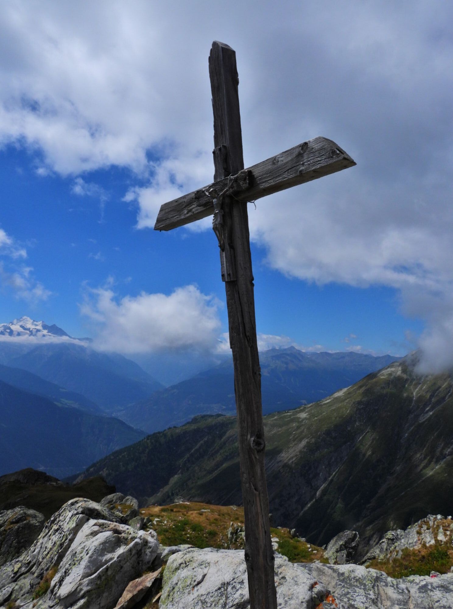
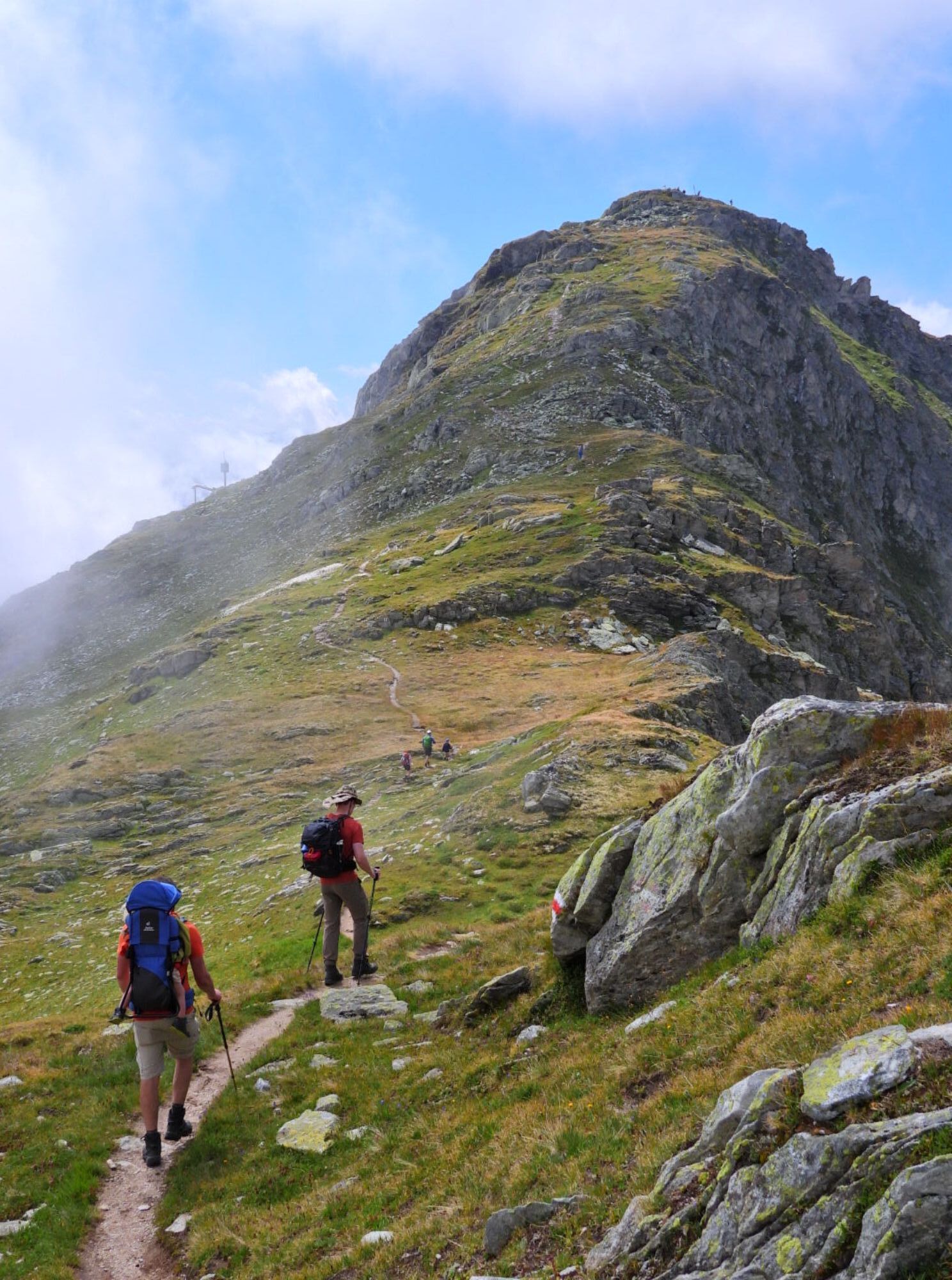
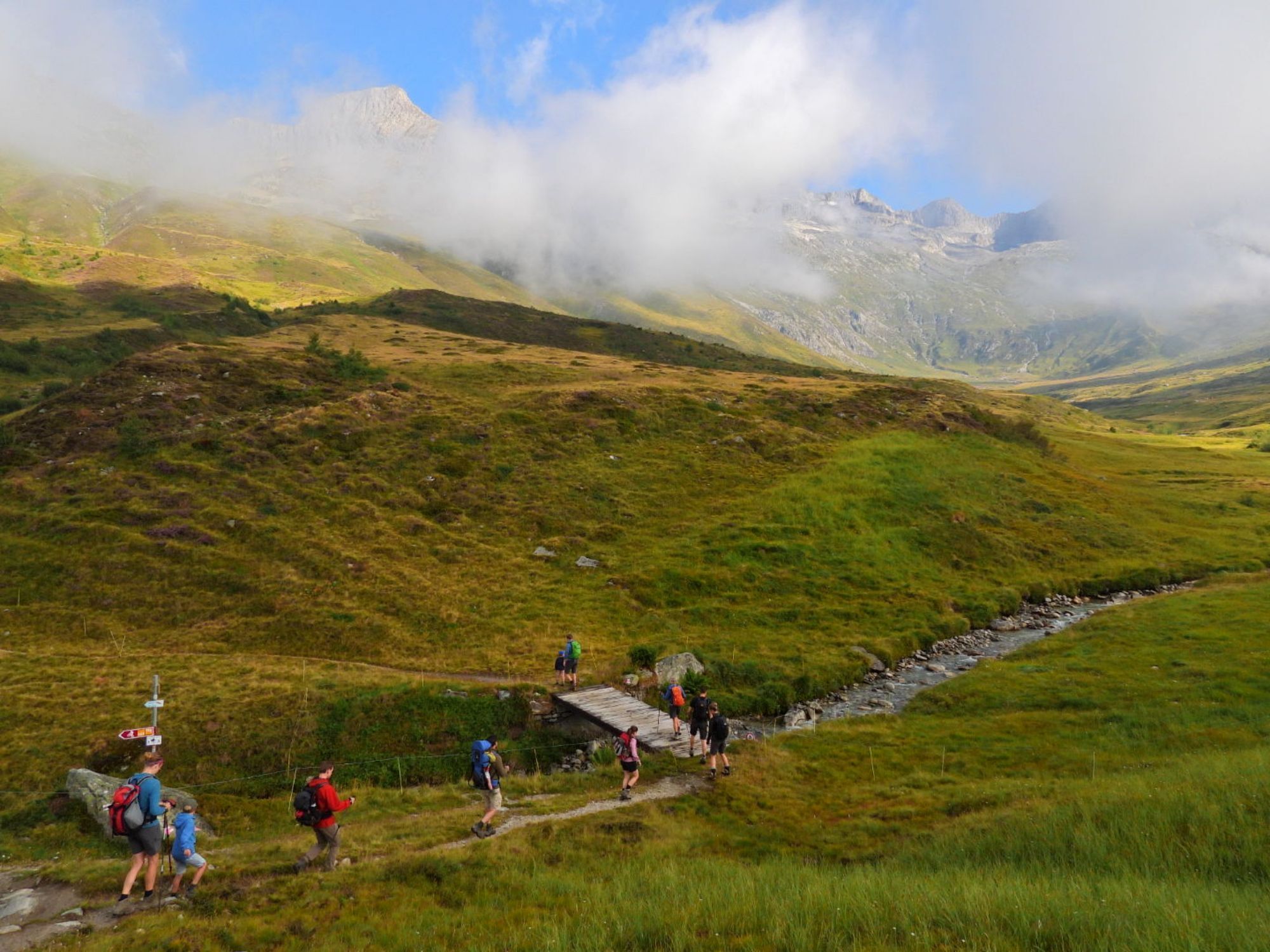
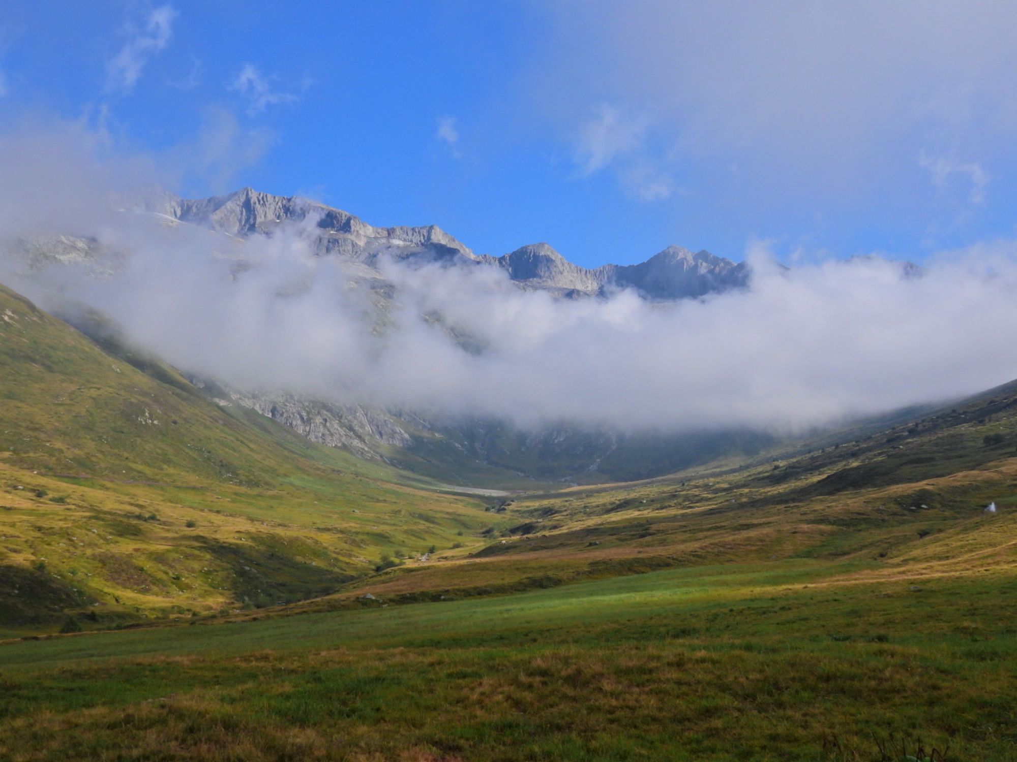
After a leisurely start, the mountain hike from Belalp leads steeply up to the Foggenhorn. Upon arrival at the summit, the climber is treated to an impressive panorama of numerous 4,000-meter peaks and...
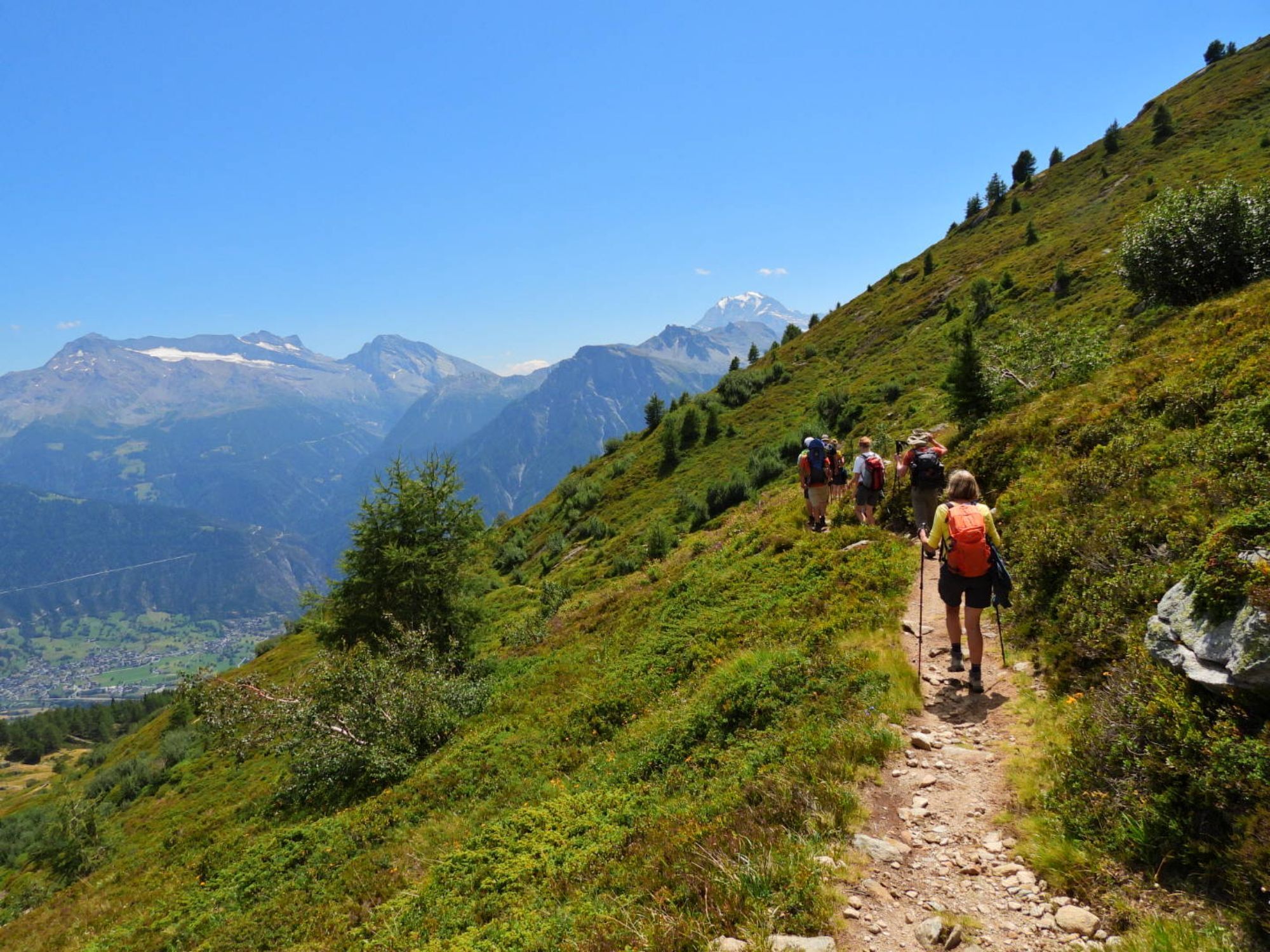
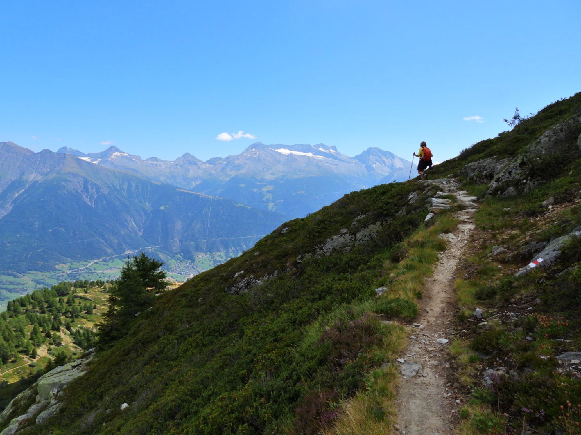
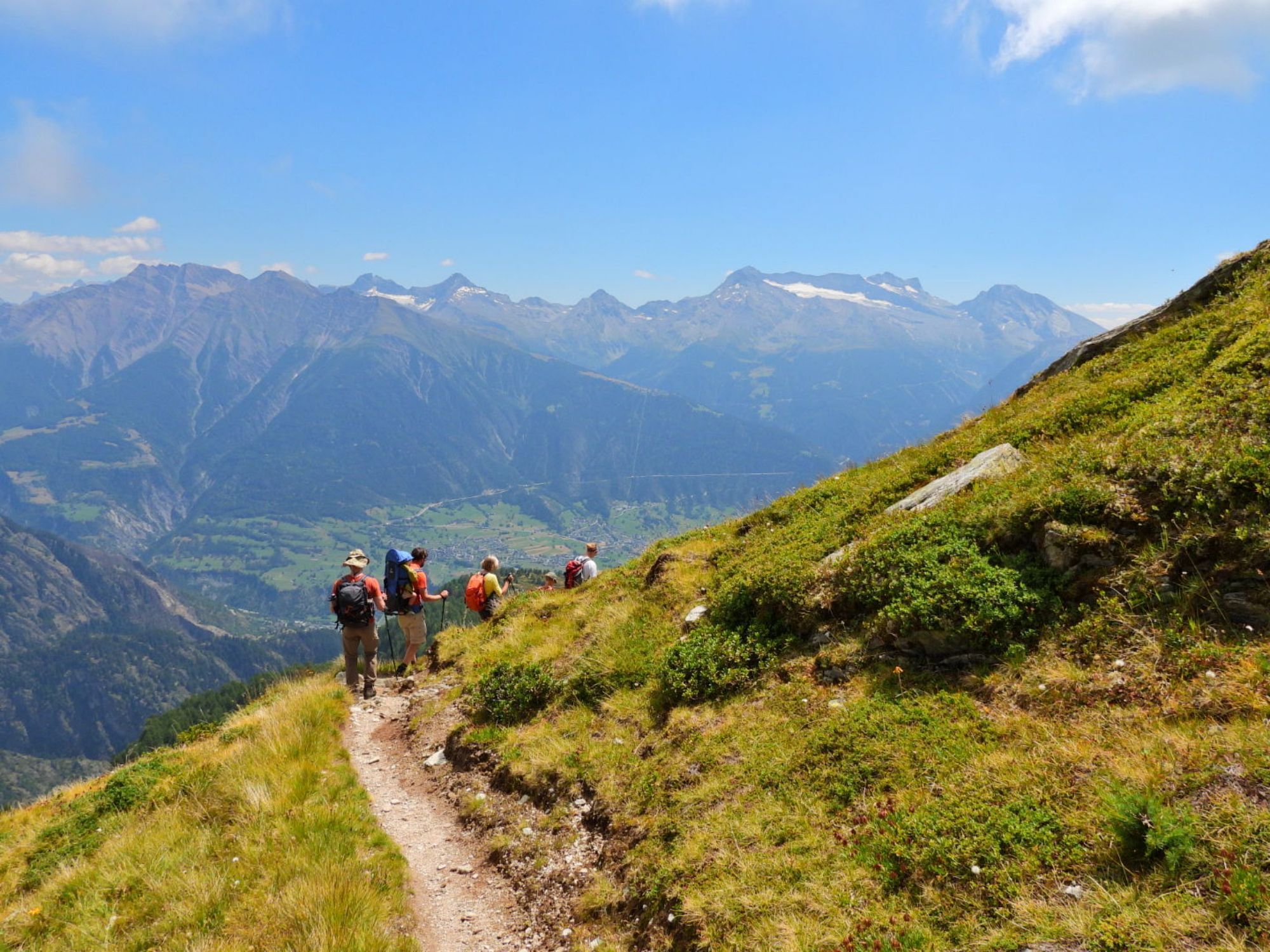
After a leisurely start, the mountain hike from Belalp leads steeply up to the Foggenhorn. Upon arrival at the summit, the climber is treated to an impressive panorama of numerous 4,000-meter peaks and the Great Aletsch Glacier. Then it continues over lush alpine meadows to the Nesselalp and further through the forest to Birgisch.

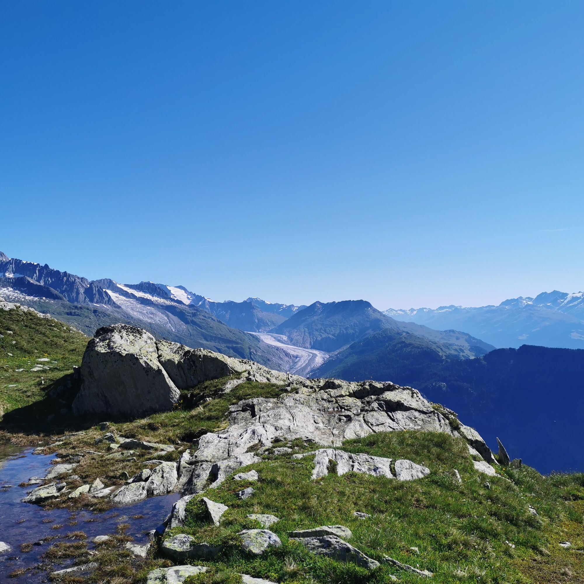
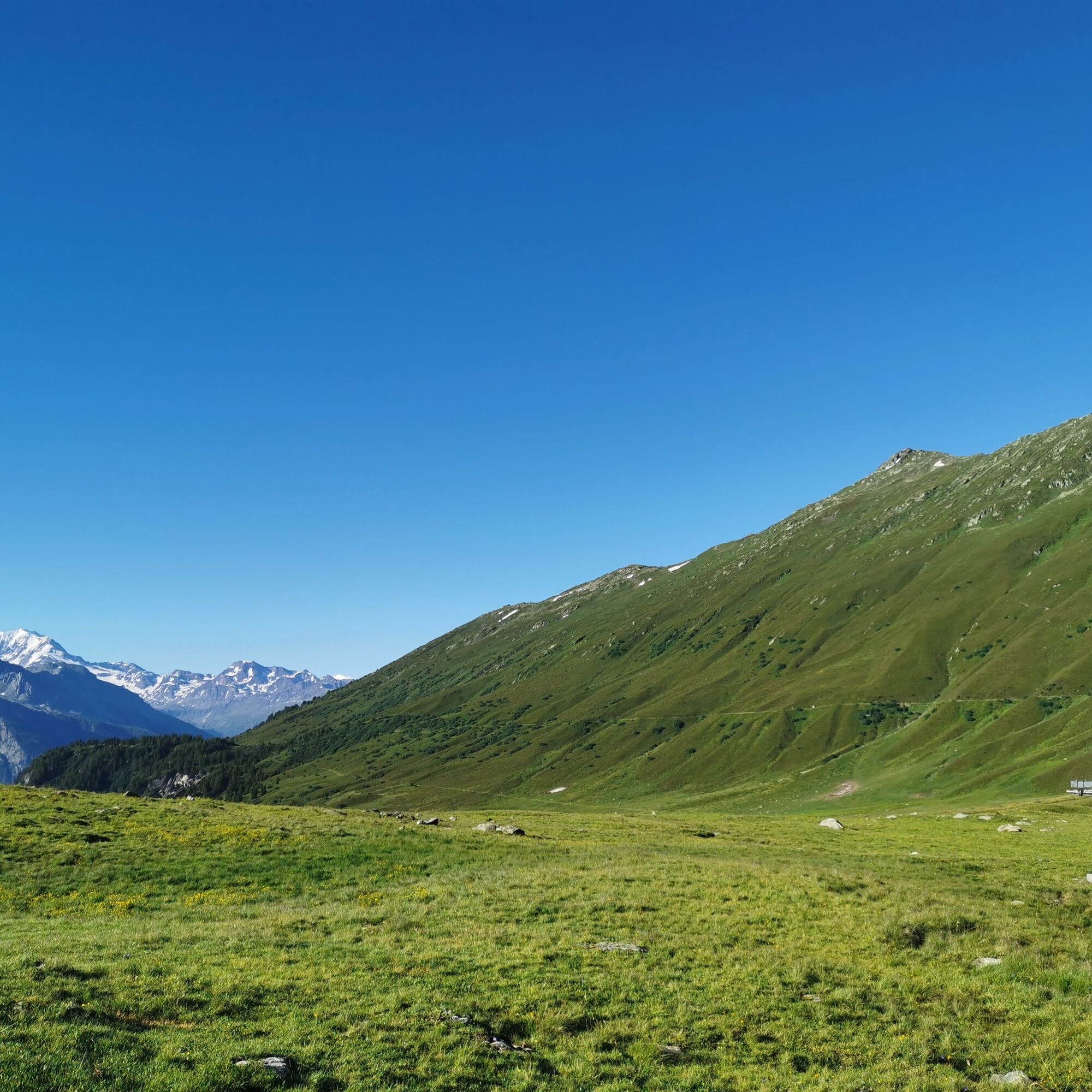
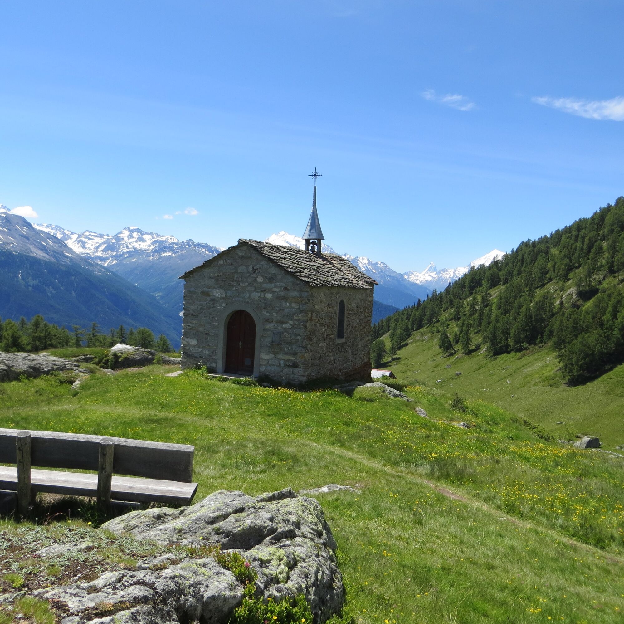
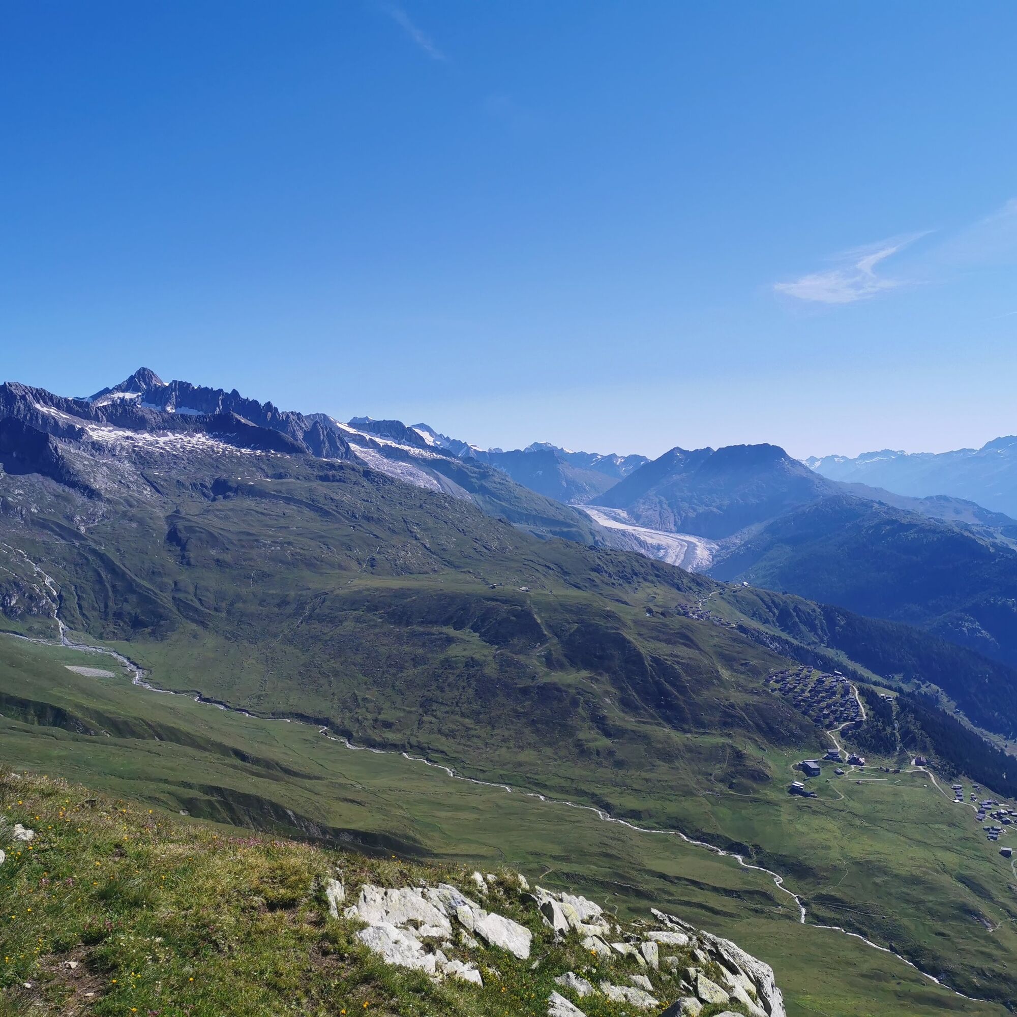
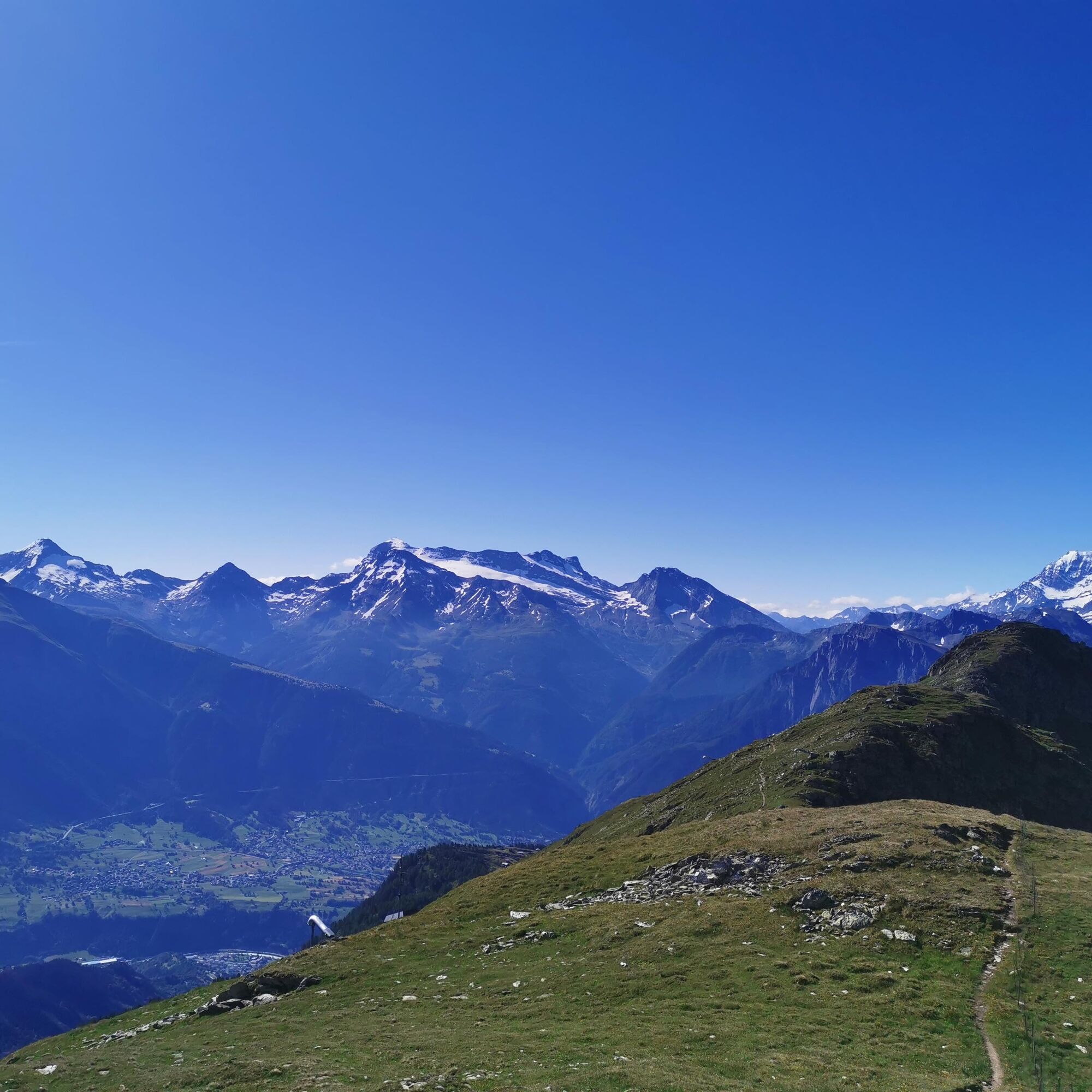
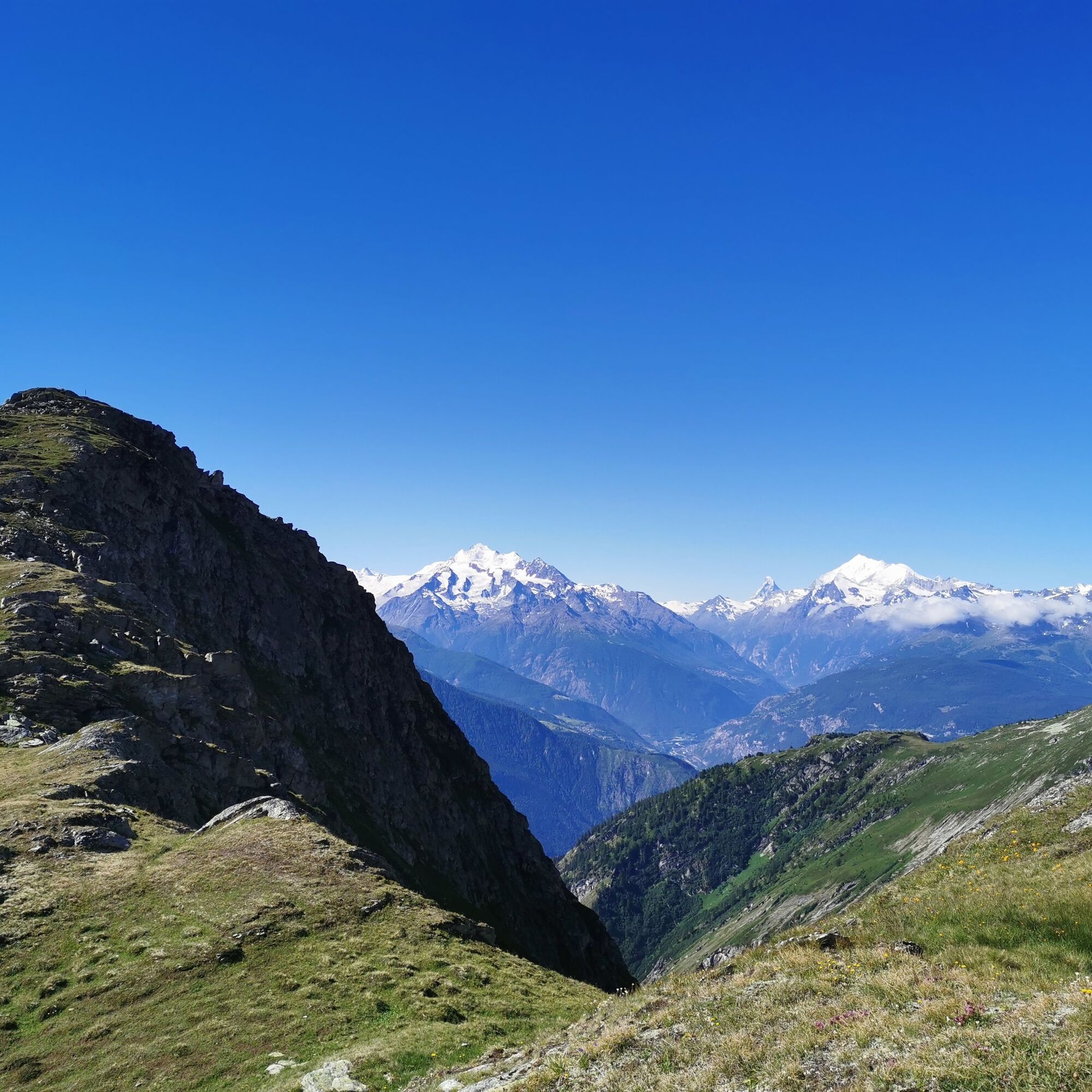
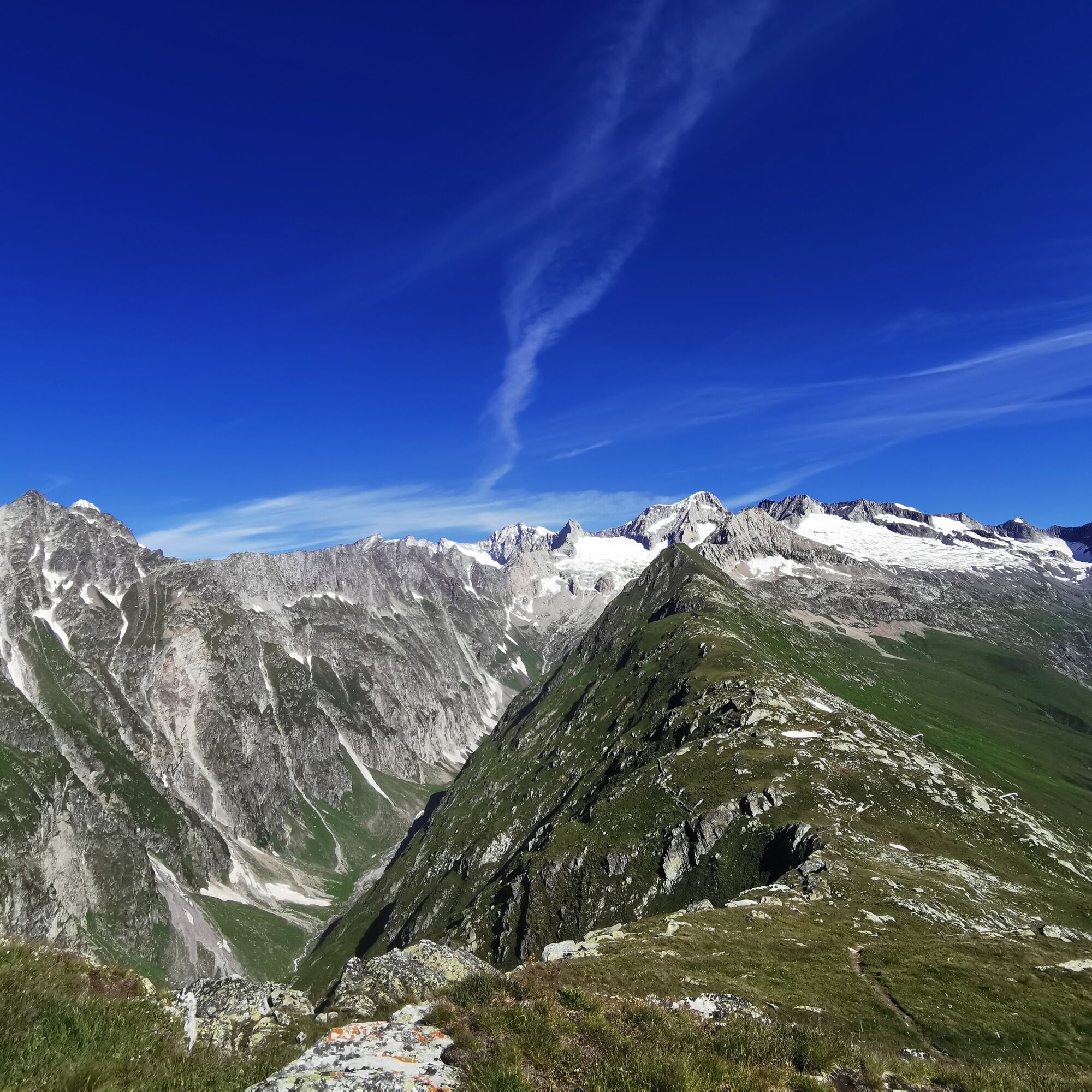
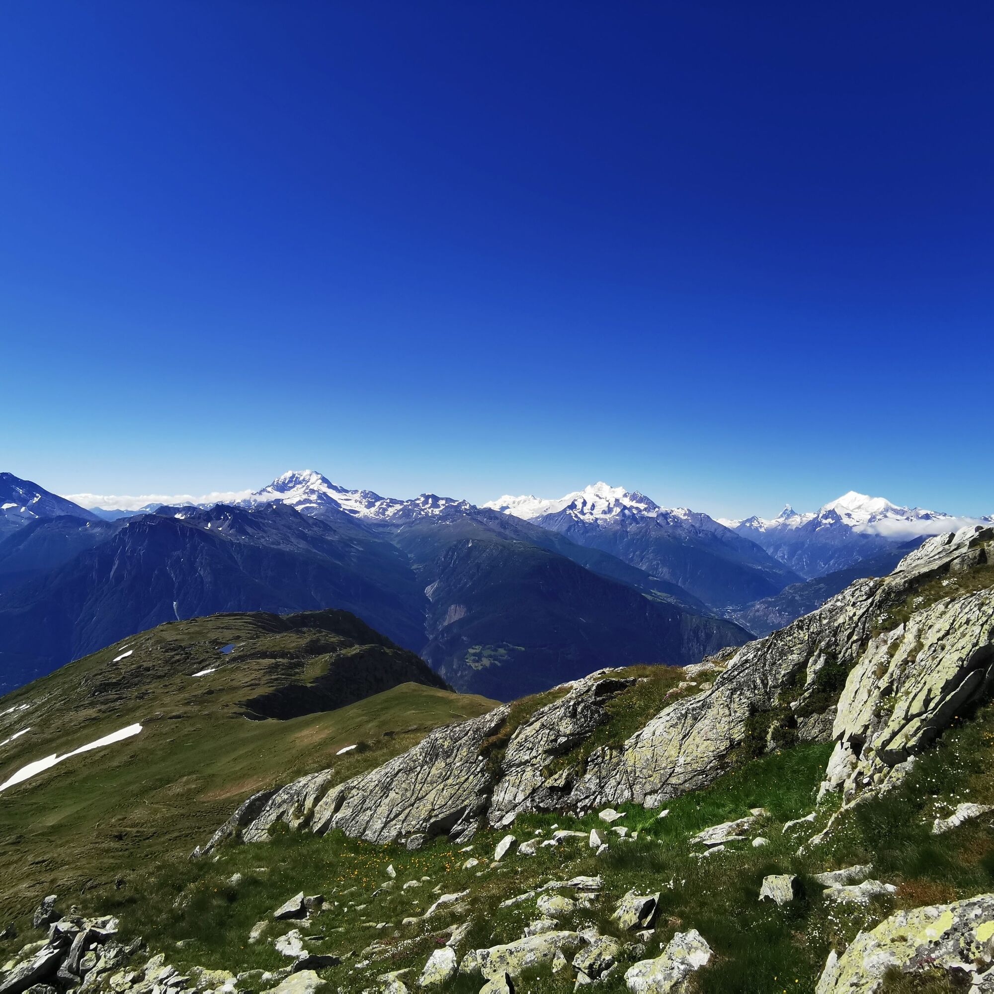
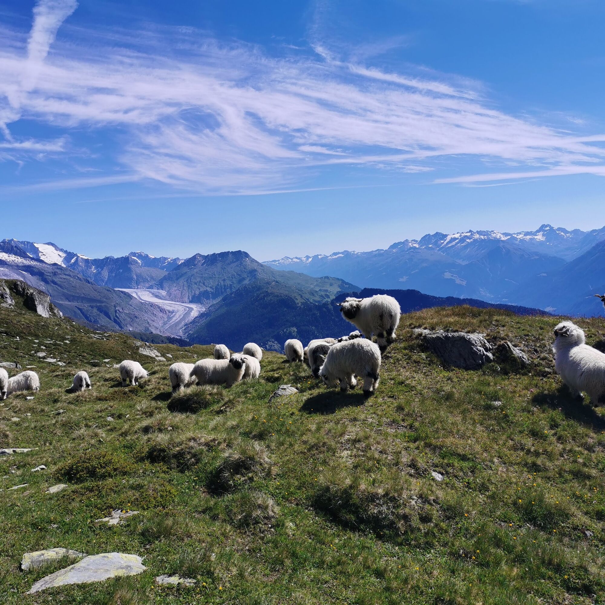
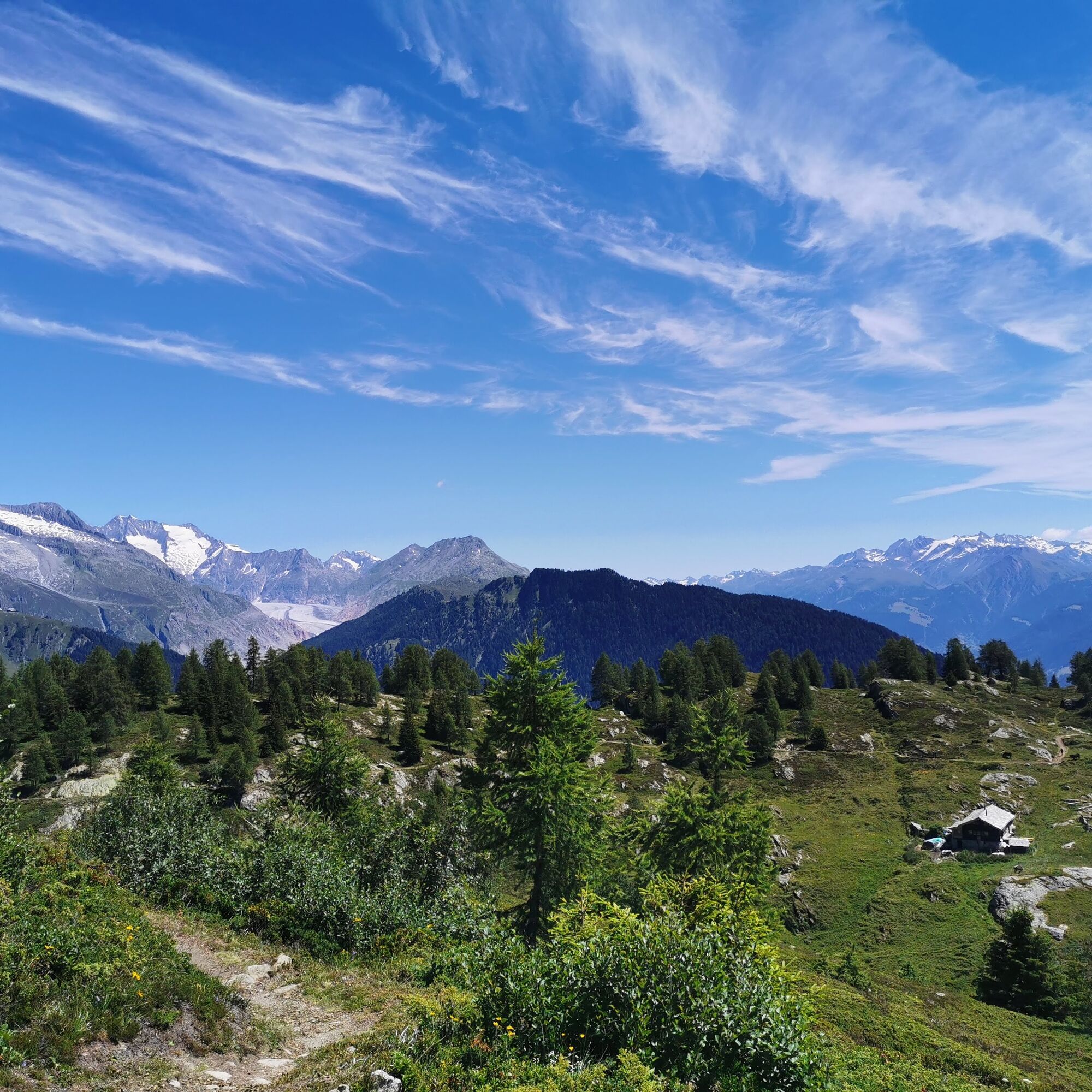
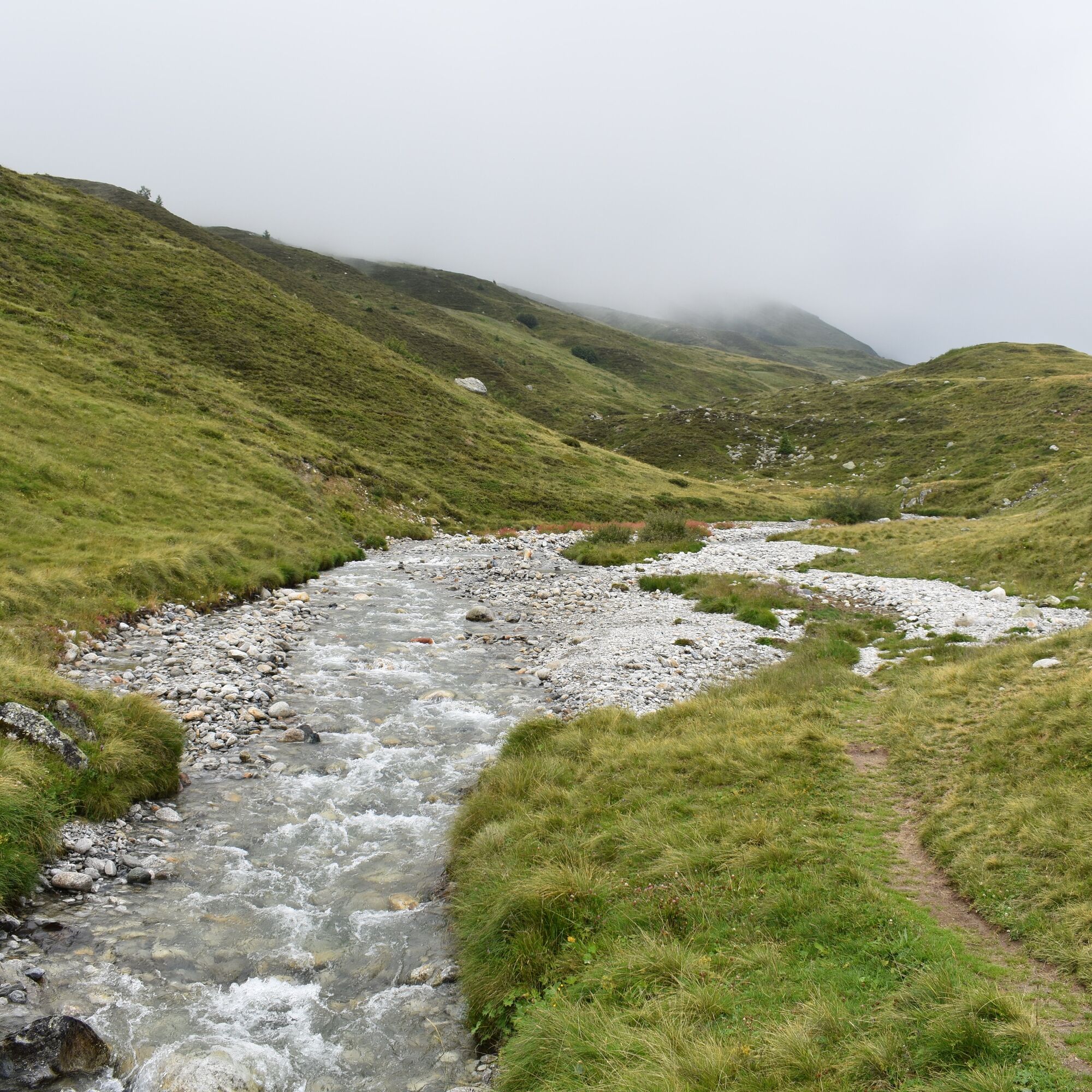
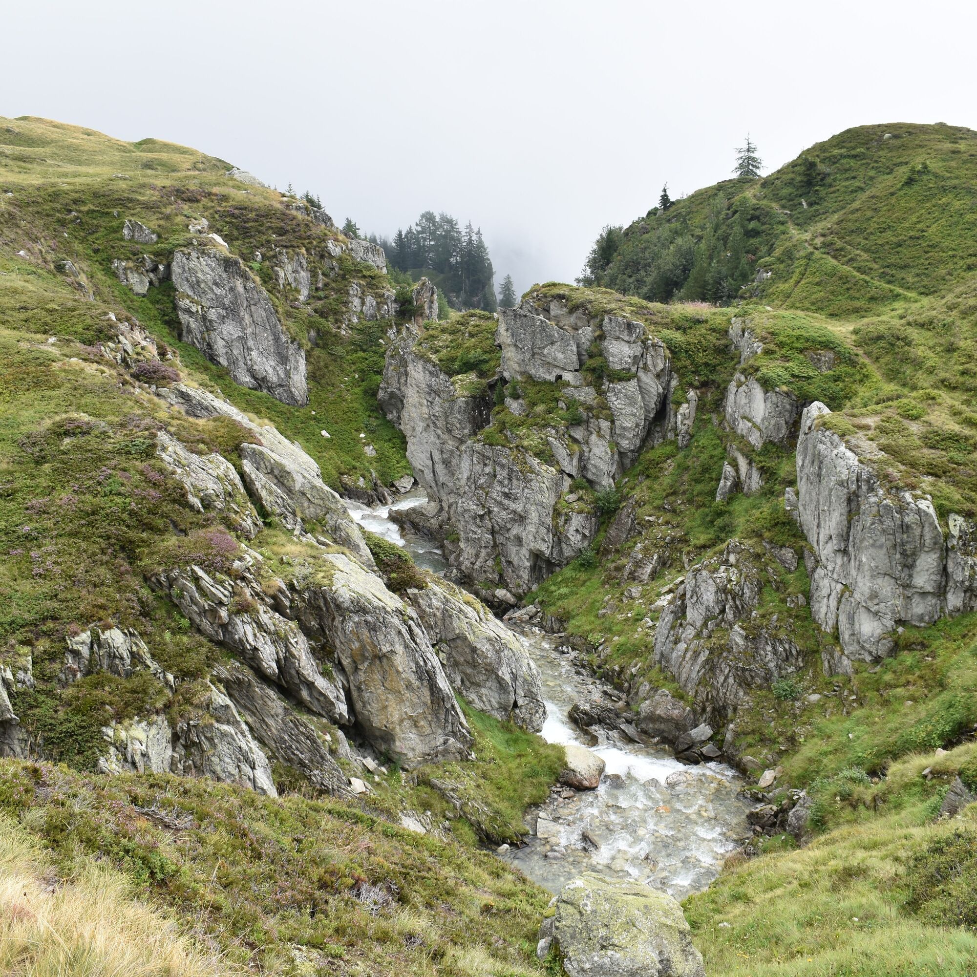
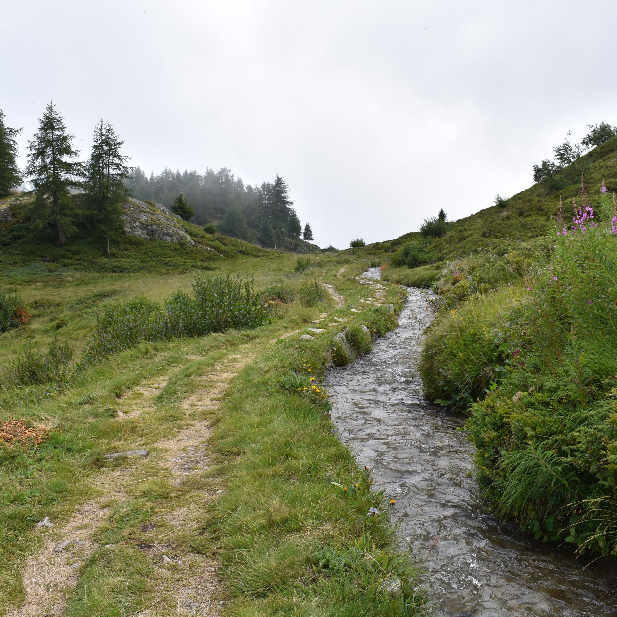
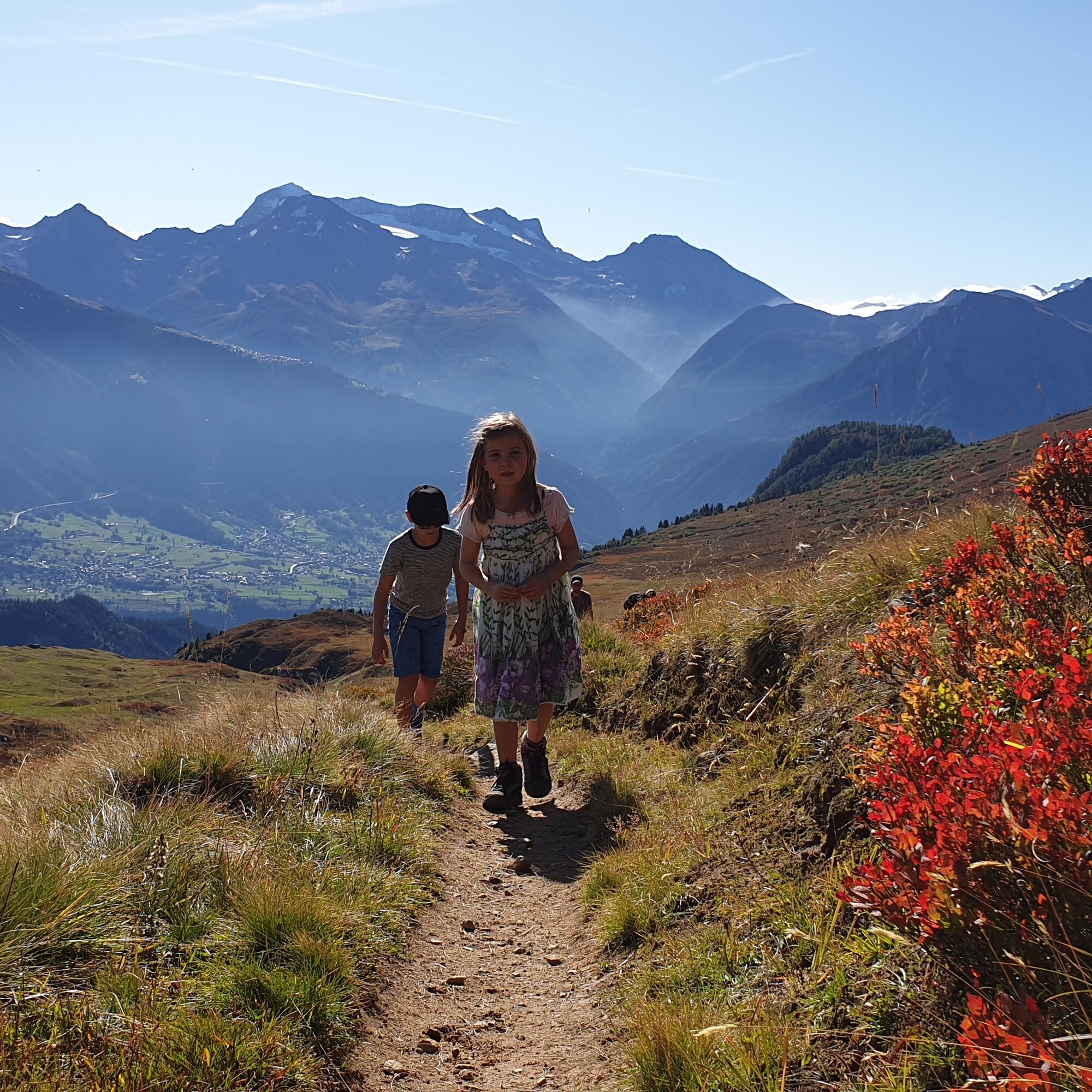

If you walk down from the Belalp mountain station towards Alpe Bäll, you will see the Foggenhorn. From the Kühmatte, turn right and follow the flat hiking trail to the Kelchbach. Then cross the small bridge and follow the hiking trail in a zigzag course uphill until you reach the summit of the Foggenhorn after about 2 hours and 30 minutes. From the summit, you can enjoy a beautiful panorama and take a short break to gather new strength for the rest of the journey.
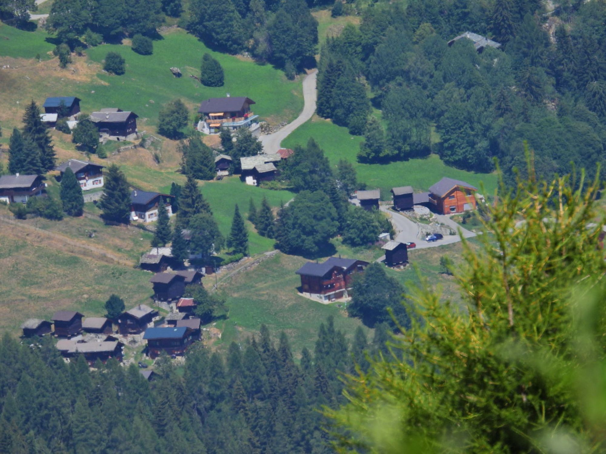
Take the descent along the ridge towards Alpe Nessel. From here, continue to Birgisch. Descend through the Birgisch forest to the forest clearing “Chittumatte” and then continue over the beautiful alpine meadows to the village of Birgisch. The path to the mountain village is quite steep but manageable with sturdy footwear.
Belalp - Bäll - Galibode - Foggenhorn - Nessjeri - Nessel - Birgisch
Da
Da
Sturdy footwear, weather-appropriate clothing, sun and rain protection, as well as sufficient supplies of food and drinks, are recommended, as there may be no opportunities for refreshments or shopping open. Although the trail is very well marked throughout, you should always carry a suitable hiking map for safety reasons. Bring sticks or other aids.
Despite the “unmissable” marking of the hiking trails, we always recommend carrying a suitable hiking map for safety reasons so that you can quickly find a safe area in case of a thunderstorm or emergency.
Especially in autumn, be aware that fallen leaves on the ground can conceal unevenness, roots, stones, or holes on the path. After storms, trees can still fall or branches can fall afterward. Particularly in adverse weather conditions, natural paths can have muddy and slippery sections. You should expect such trail impairments when hiking.
Not all rocks or precipices are secured with ropes or railings. Sure-footedness is sometimes required. If you find certain sections impassable, you should bypass them.
Arrival by car
From Western Switzerland: A9 Lausanne - Vevey, or Northwestern Switzerland: A12 Bern - Vevey: A9 - Sierre: Main road Sierre - Brig
From Northwestern Switzerland: A6 Bern - Thun - Spiez: Main road Spiez - Kandersteg (car shuttle Lötschberg tunnel) - Goppenstein - Gampel - Brig
From Eastern and Central Switzerland: Andermatt - Realp (year-round car shuttle Furka; in summer via Furka pass) - Oberwald - Brig
From Ticino (in summer): Airolo - Nufenen pass - Ulrichen – Brig
Or via Centovalli – Domodossola – Simplon pass – Brig
From Italy (Aosta, Mont Blanc Tunnel): Aosta - Tunnel Grand Saint Bernard (in summer via the pass) - Martigny: Highway A9 - Sierre: Main road Sierre – Brig
Or via Domodossola – Simplon pass – Brig
Blatten bei Naters
From Brig you reach Blatten bei Naters via Naters, then take the cable car to the car-free Belalp.
Blatten-Belalp
Blatten bei Naters can be reached by public transport from Brig or Naters.
You can reach Belalp from Blatten by cable car.
Birgisch
Take the post bus from Brig to Birgisch parking lot and start your route there.
Timetables and further travel information can be found at: www.belalp.ch
Paid parking spaces are available at Chienzlichrommu and in the parking garage in Blatten bei Naters.
Further information can be found at:
www.belalp.ch
If you have questions, contact:
Belalp Bahnen AG
Blatten - Belalp Tourismus AG
Author’s tip
Upon reaching the Foggenhorn, enjoy the view of the Bietschhorn as well as the Matterhorn and the view into the Gredetsch valley.
For those free from vertigo and sure-footed, there is a spectacular viewpoint on the Nesselalp.

Spletne kamere s turneje
Pridobite vpogled
Vedno v živo na mestu z več kot 9.500 spletnimi kamerami. bergfex Kot uporabnik Pro si lahko zdaj ogledate ustrezne spletne kamere za številne izlete v aplikaciji izleti iz. Tako si lahko neposredno ogledate trenutne razmere.

Priljubljeni izleti v okolici
-
5.0
Moosalp Panoramaweg
svetlobaPohodništvo 6.36 km -
4.8
Lötschentaler Höhenweg
svetlobaPohodništvo 9.17 km -
5.0
BELALP - SPARRHORN
težkoPohodništvo 11.2 km -
4.8
SUSPENSION BRIDGE RIEDERALP - BELALP
srednjaPohodništvo 11.5 km -
UNESCO Höhenweg
Pohodništvo 3.70 km -
5.0
Rundwanderung Anenhütte
srednjaPohodništvo 10.2 km -
CIRCULAR HIKE MASSEGGA SUSPENSION BRIDGE
svetlobaPohodništvo 6.44 km -
4.0
Eggishorn via ferrata
srednjaVia ferrata 1.39 km -
4.0
Höhenwanderung Rosswald
svetlobaPohodništvo 6 km -
3.0
Lötschenlücke
srednjaSmučarska tura 26.2 km
Pohodništvo in sledenje


Ne zamudite ponudb in navdiha za naslednje počitnice
Vaš e-poštni naslov je bil dodan na poštni seznam.





