







Twingi Gorge
An old trade route connected the upper Rhone Valley with Lombardy, passing the village of Grengiols, the Binn Valley, and the Albrun Pass. Today, the lower part of the Roman road is popular with hikers....
An old trade route connected the upper Rhone Valley with Lombardy, passing the village of Grengiols, the Binn Valley, and the Albrun Pass. Today, the lower part of the Roman road is popular with hikers. Here you encounter the wild side of the Binn Landscape Park, picturesque barns, and the village of Grengiols.
The hike starts at the remote Steinmatten bus stop on the way to the Binn Valley (just before the tunnel) and ends at Betten valley station in the Rhone Valley. The trail passes through fragrant pine forests and flower-covered meadows. Always in view are the dramatic and well-known gorges of the Binn Valley.
From the Steinmatten stop, the path goes down to the Roman bridge and crosses the Binna river before leading to some remote barns near Blatt and Hockmatta on the other side.
Soon after, the path leads to Grengiols, the village known for a rare wild tulip species. The protected species is also known as the Roman tulip. Each year in the second half of May, around 3,000 specimens bloom in the former rye fields of the village.
An exciting themed trail leads to the Tulip hill and through open meadows and forests. The hike follows part of the themed path before entering the village. Grengiols’ steep and narrow main street and the picturesque village square make it a historic place of national importance.
Highlights of the hike:
Historic trail through forest, meadows, and past sunburned barns. Themed trail to the Roman tulip of Grengiols, a unique wild tulip variety.
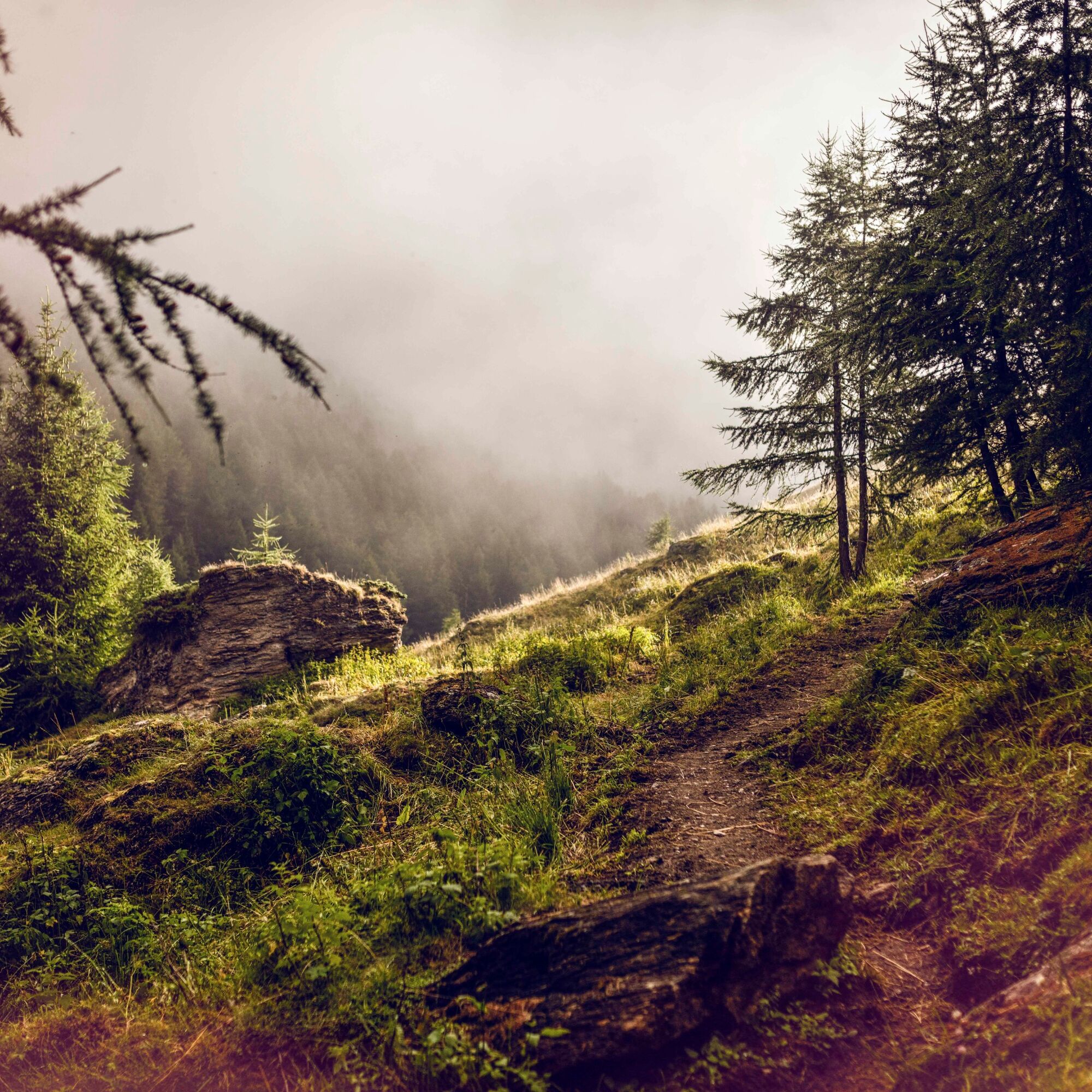
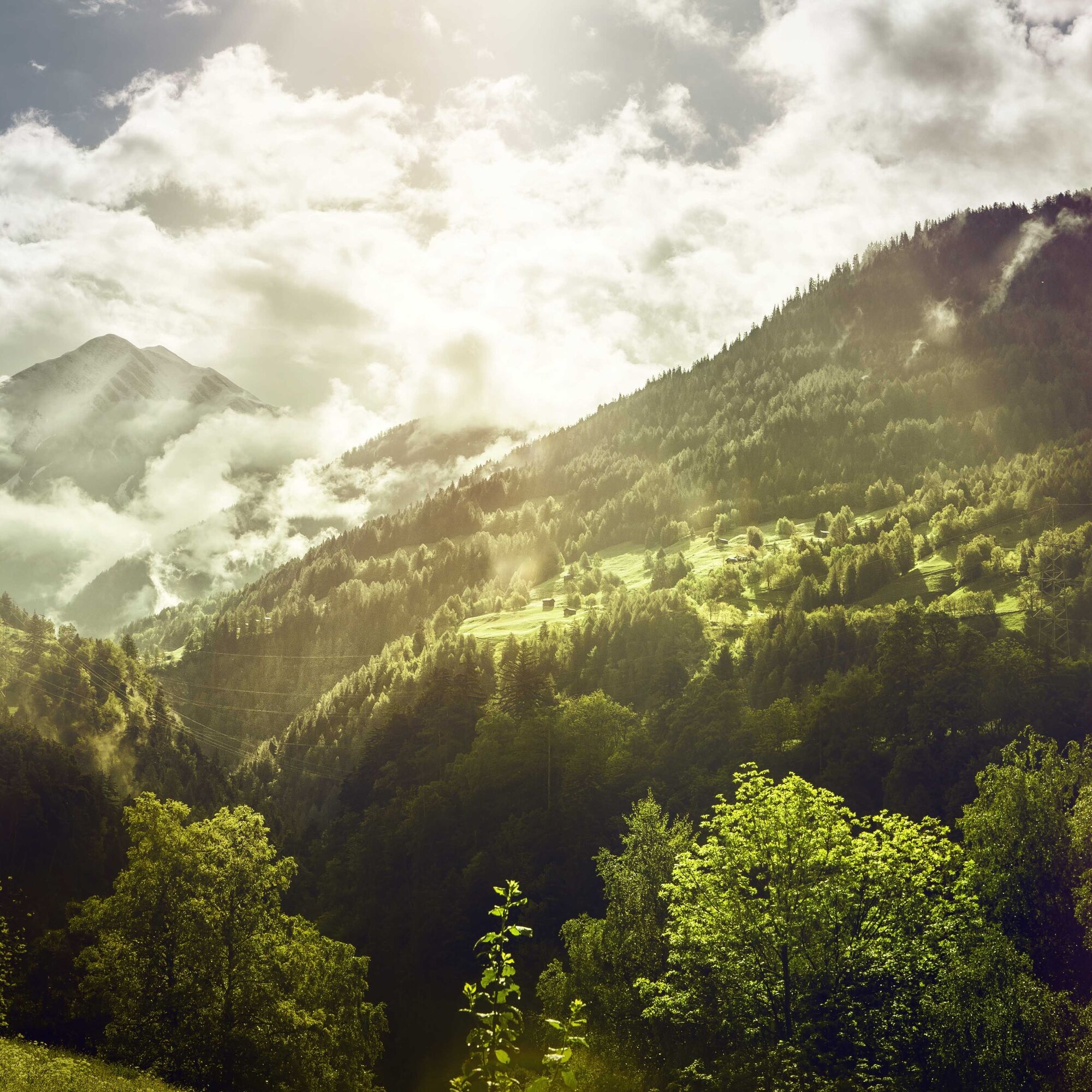

The hike starts in Binn and goes around a tunnel that has made the valley accessible all year round since 1965. Along the way, you pass through the Twingi Gorge before reaching the starting point of the described route in Steinmatten.
To reach Grengiols, the route follows the new section of the Tulip-themed trail. Alternatively, you can follow the historic route south towards the hamlets Viertel, Bächerhouses, and Oberdorf.
Hiking the entire Tulip-themed trail (Tulip ring) is also worthwhile. From Grengiols, the route heads west along the flank of the Rhone Valley before the final steep descent to Betten valley station.
The hike starts in Binn and leads through a tunnel that has ensured year-round accessibility of the Binn Valley since 1965.
Da
We recommend:
Good footwear Weather-dependent clothing: always carry a waterproof vest Headgear Sunscreen Water bottle Picnic Camera Binoculars (optional) Hiking poles (optional) Printout of the hiking trail (click "Print" to download)For certain hikes:
SwimsuitThe mountains, a place of joy to share and respect. The mountain world is a place to meet and experience unforgettable moments together – whether by bike or on foot. For all users to benefit, it is essential to share this space with respect for nature and agriculture. Respectful behaviour allows everyone to enjoy leisure activities under the best conditions. Inform yourself about recommendations and rules. Assess your own abilities and fitness level well. Using the various routes is always at your own risk.
For all hikes:
Carry a map with you. Download the complete description of the hiking trail with a large-scale map by clicking "Print" at the top right of the page. Use only marked hiking trails and observe all signposts and instructions – for your own safety, the protection of grazing animals, and out of respect for wildlife. Close gates after passing through. Behave considerately towards other trail users, plants, and animals.For mountain hikes:
Carry additional sun protection. UV rays at high altitudes can be very strong, even in overcast weather. Plan your hike carefully: consider the required fitness level of all participants, weather forecasts, and seasonal conditions. Weather conditions in the mountains can change very quickly and without warning. Appropriate clothing and sufficient provisions (food and drink) are very important. In unsettled weather, it is better to turn back early.For high alpine hikes:
Inform your family about your hiking route. Avoid hiking alone if possible. Do not venture onto glaciers without a mountain guide. Observe warning signs indicating dangers along riverbanks, watercourses below dams and reservoirs: water levels can rise quickly and without warning.A9 motorway to Brig, then cantonal road to Betten valley station. It is best to leave your car in Betten or Brig and take public transport to Steinmatten (train to Fiesch, bus to Steinmatten). The starting point of the hike is the Steinmatten bus stop, where no parking spaces are available.
Regional trains to Fiesch (Matterhorn Gotthard Bahn), then by post bus towards Binn to the Steinmatten stop. At the end of the hike, take the regional train from Betten valley station back to Brig. Detailed timetables for trains and post buses can be found at sbb.ch.
The hike begins in the village of Binn, which offers very limited parking. A large paid parking lot is available at Betten valley station.
Further information about the destination can be found here:
BinnPlan the hike for the second half of May when the rare Roman tulips of Grengiols are in bloom.
Pridobite vpogled
Vedno v živo na mestu z več kot 9.500 spletnimi kamerami. bergfex Kot uporabnik Pro si lahko zdaj ogledate ustrezne spletne kamere za številne izlete v aplikaciji izleti iz. Tako si lahko neposredno ogledate trenutne razmere.
Priljubljeni izleti v okolici
-
UNESCO Höhenweg
Pohodništvo 3.70 km -
5.0
BELALP - SPARRHORN
težkoPohodništvo 11.2 km -
4.0
Panoramaweg über den Aletschgletscher
srednjaPohodništvo 17.7 km -
4.8
SUSPENSION BRIDGE RIEDERALP - BELALP
srednjaPohodništvo 11.5 km -
CIRCULAR HIKE MASSEGGA SUSPENSION BRIDGE
svetlobaPohodništvo 6.44 km -
4.0
Eggishorn via ferrata
srednjaVia ferrata 1.39 km -
BELALP - SPARRHORN WITH SHORTCUT
srednjaPohodništvo 1.50 km -
5.0
Aletsch Sightseeing
srednjaZimsko pohodništvo 15.5 km -
4.5
Hike to the Glacier View in Bellwald
srednjaPohodništvo 8.86 km -
4.0
NATICHERBERG CIRCULAR TRAIL
srednjaPohodništvo 12.1 km
Pohodništvo in sledenje


Ne zamudite ponudb in navdiha za naslednje počitnice
Vaš e-poštni naslov je bil dodan na poštni seznam.





