






Glacier lake hike Längfluh
Stopnja težavnosti: T2
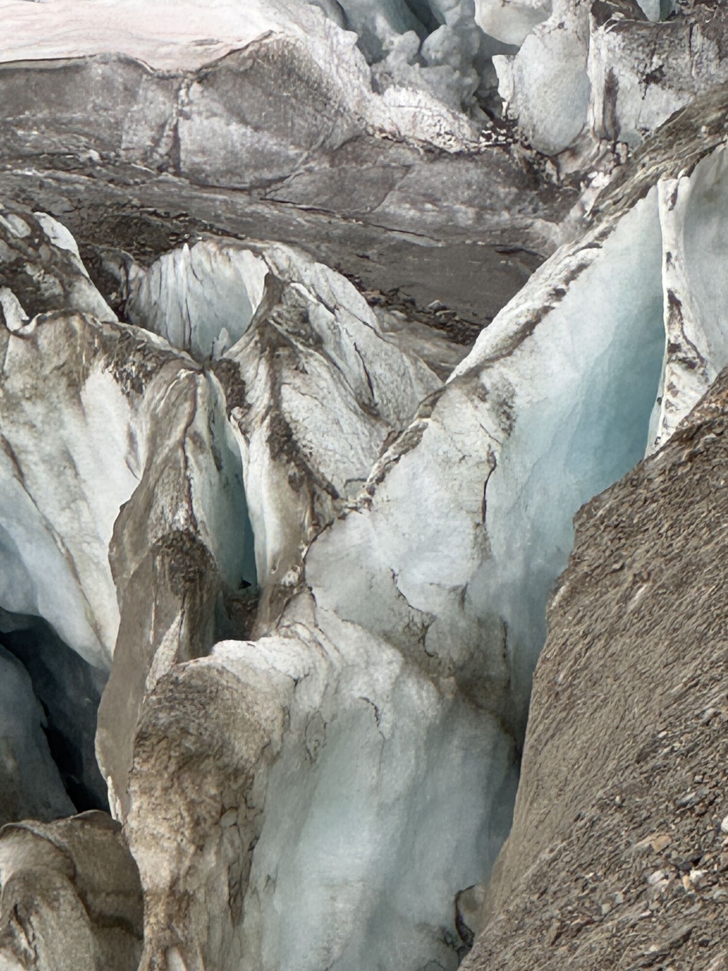
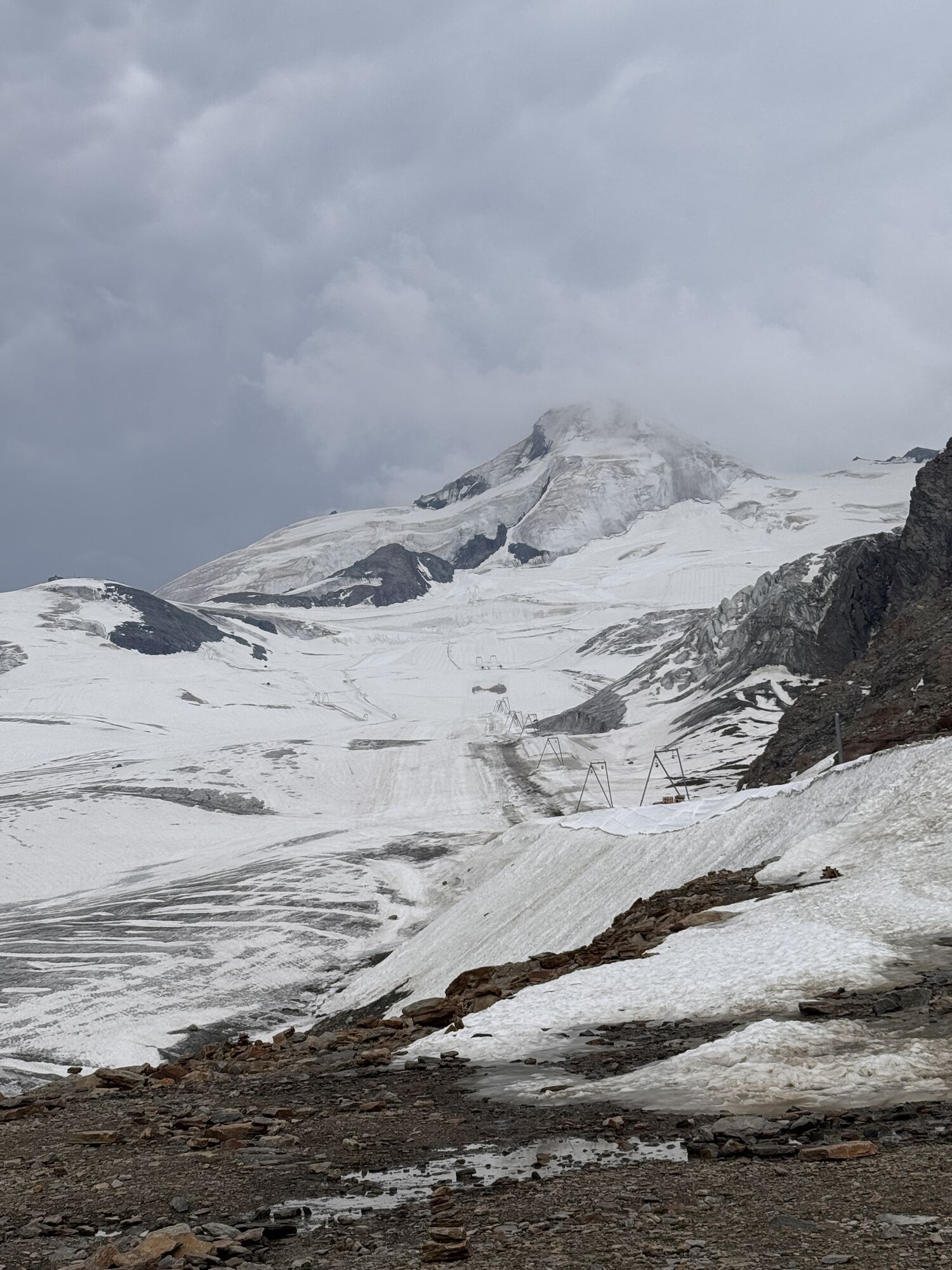
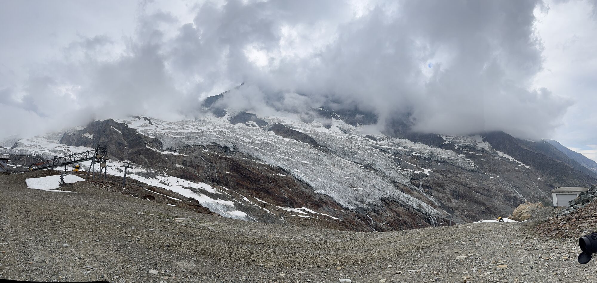
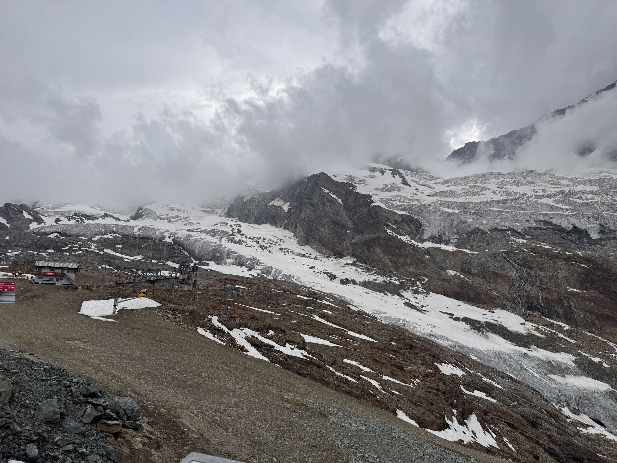
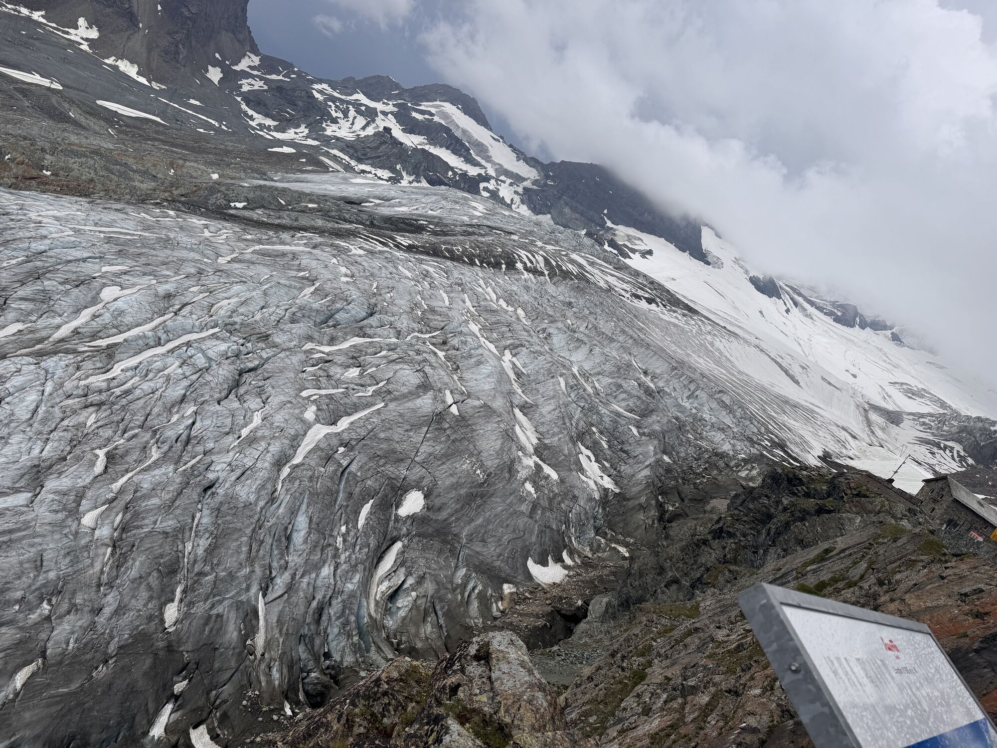
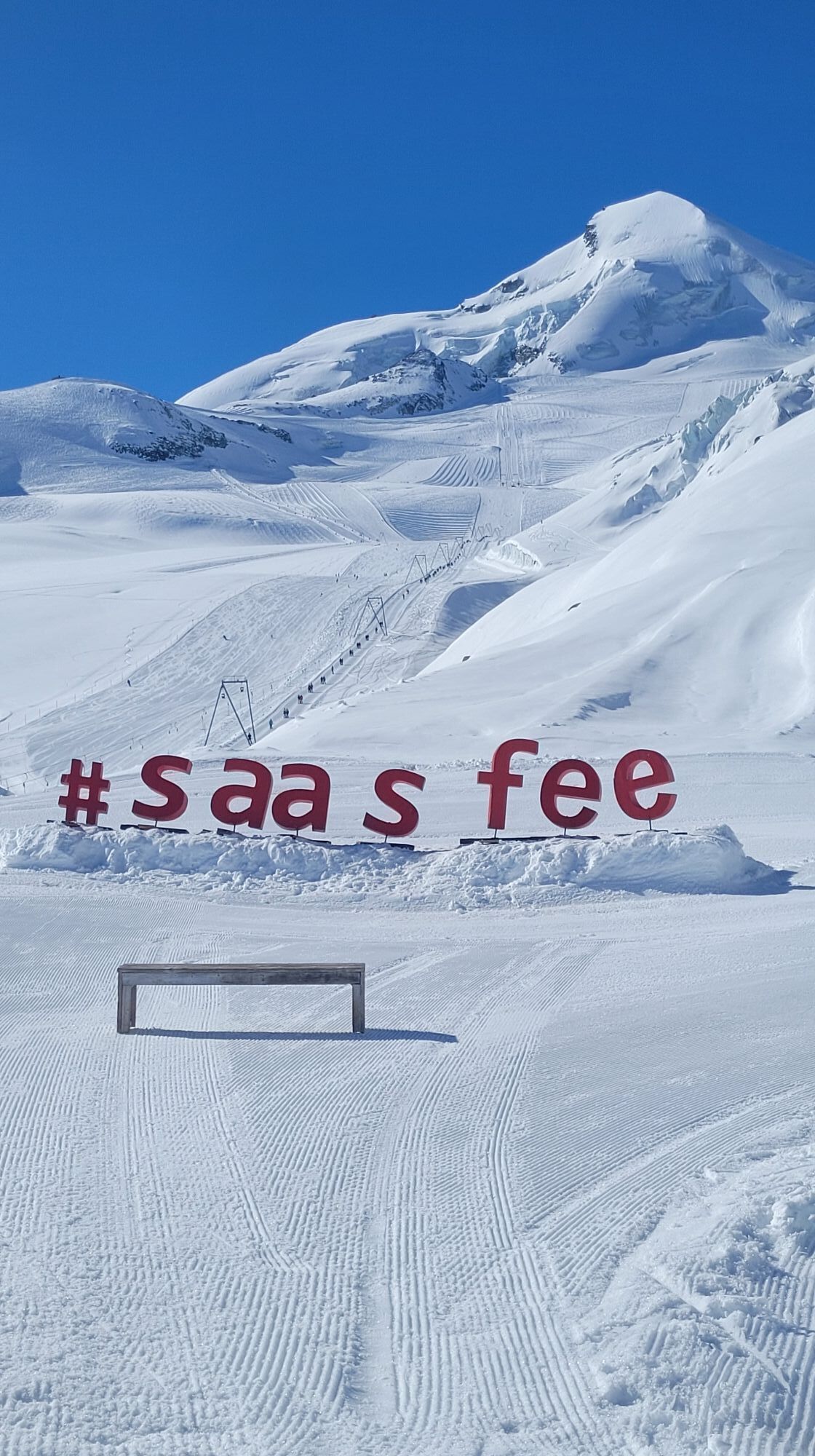
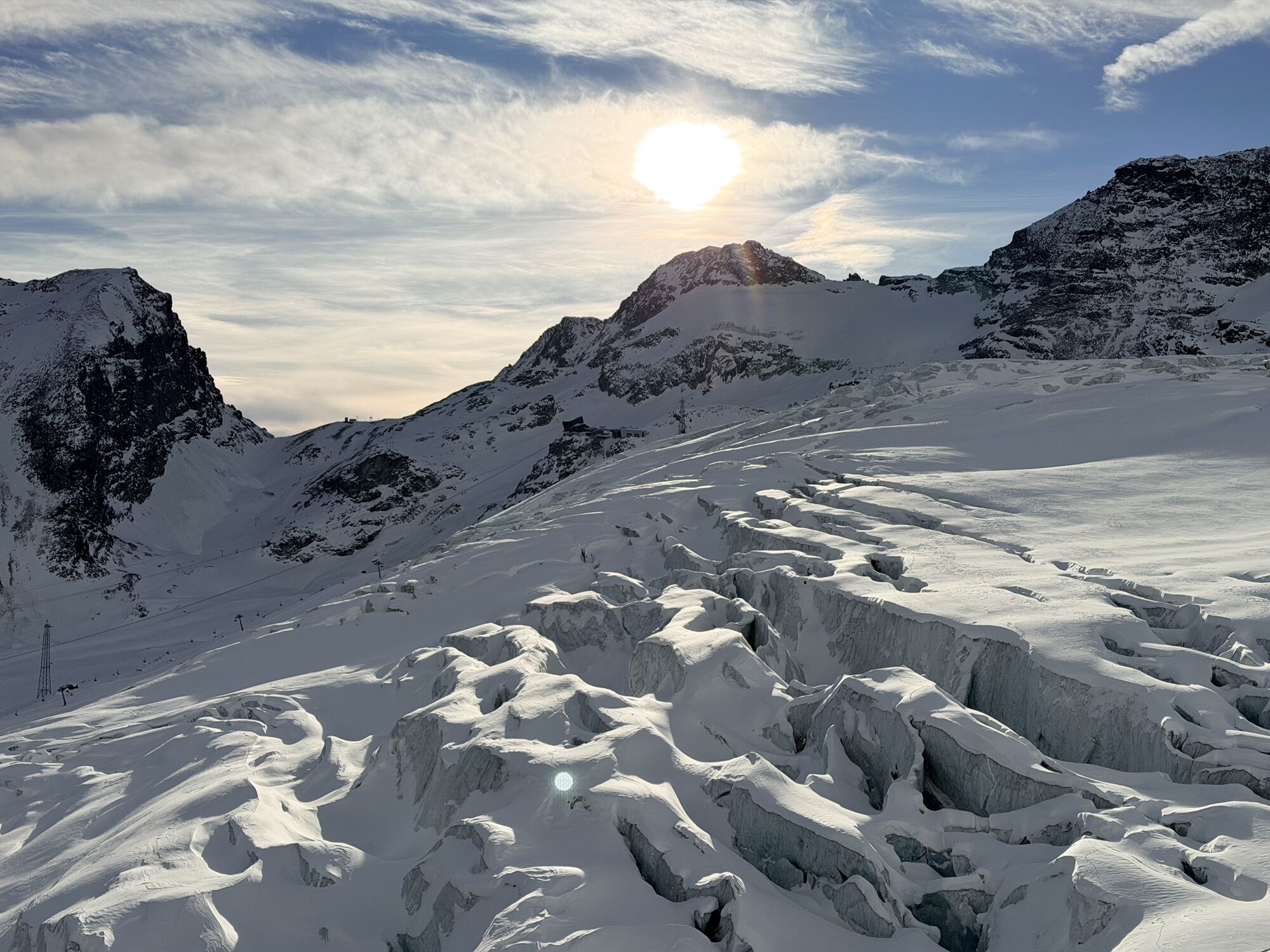

The circular trail starts at the Längfluh mountain station and goes up to the first hill next to the Steinhaus and the breathtaking view of the Saas-Fee glacier. After the little lift house, the ropes...
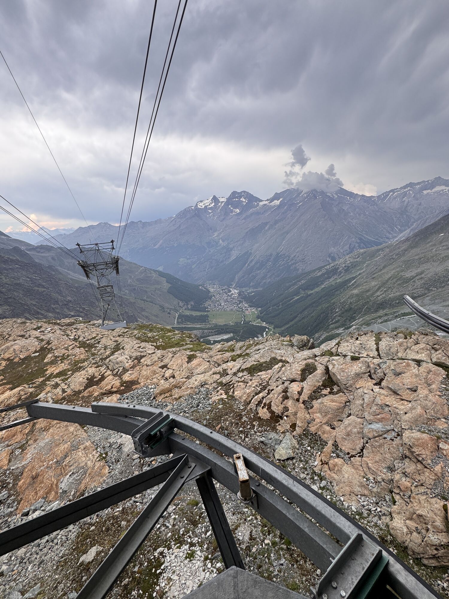
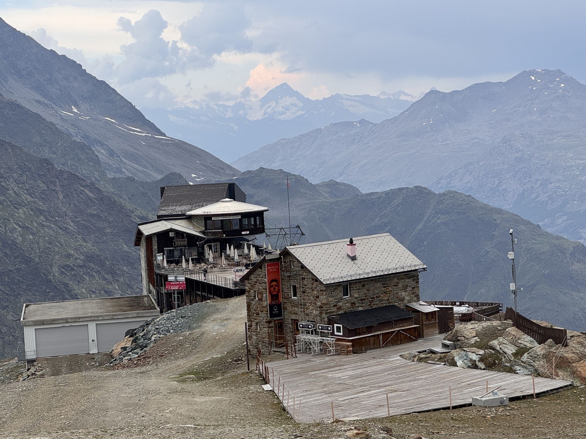
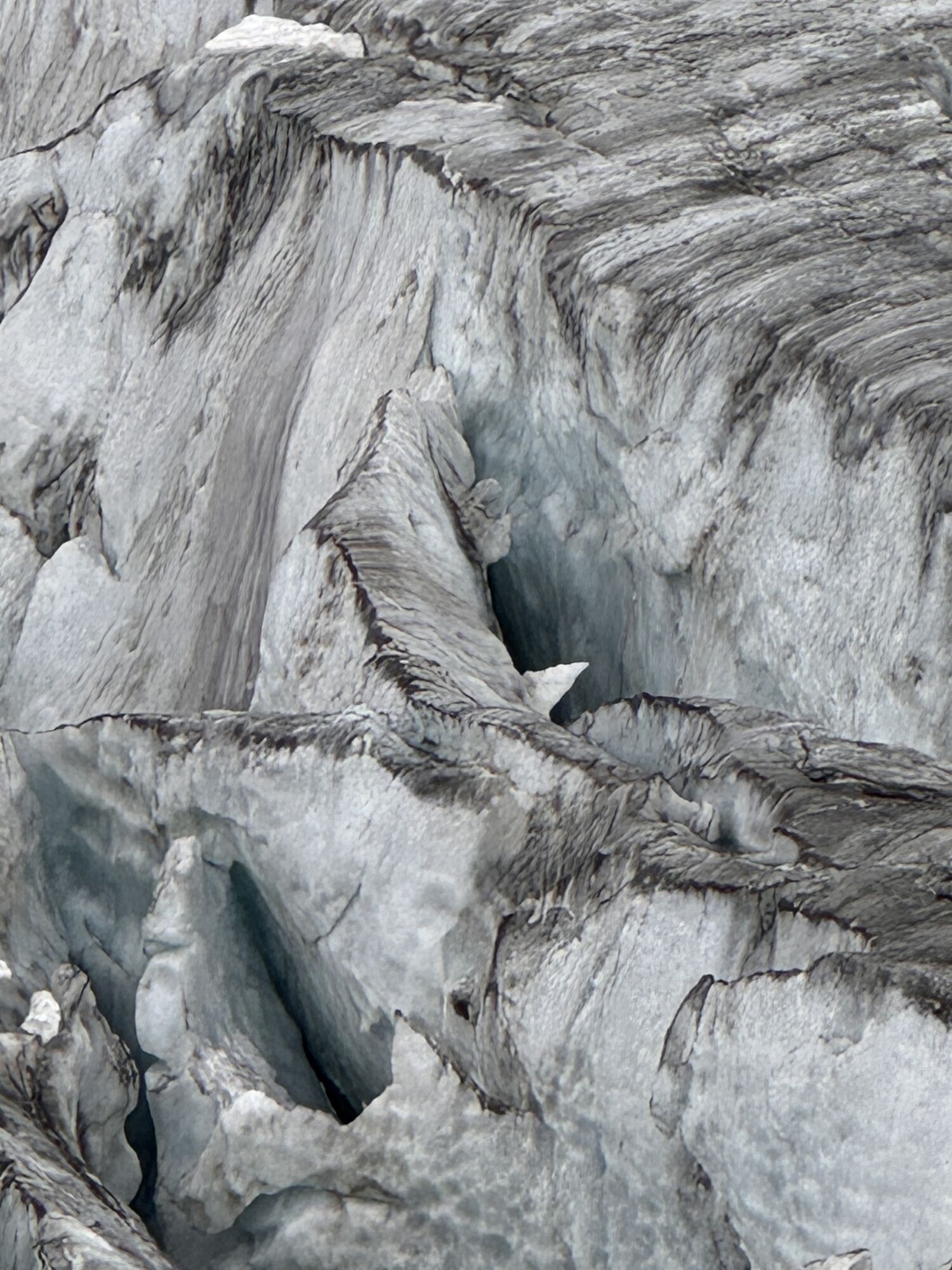
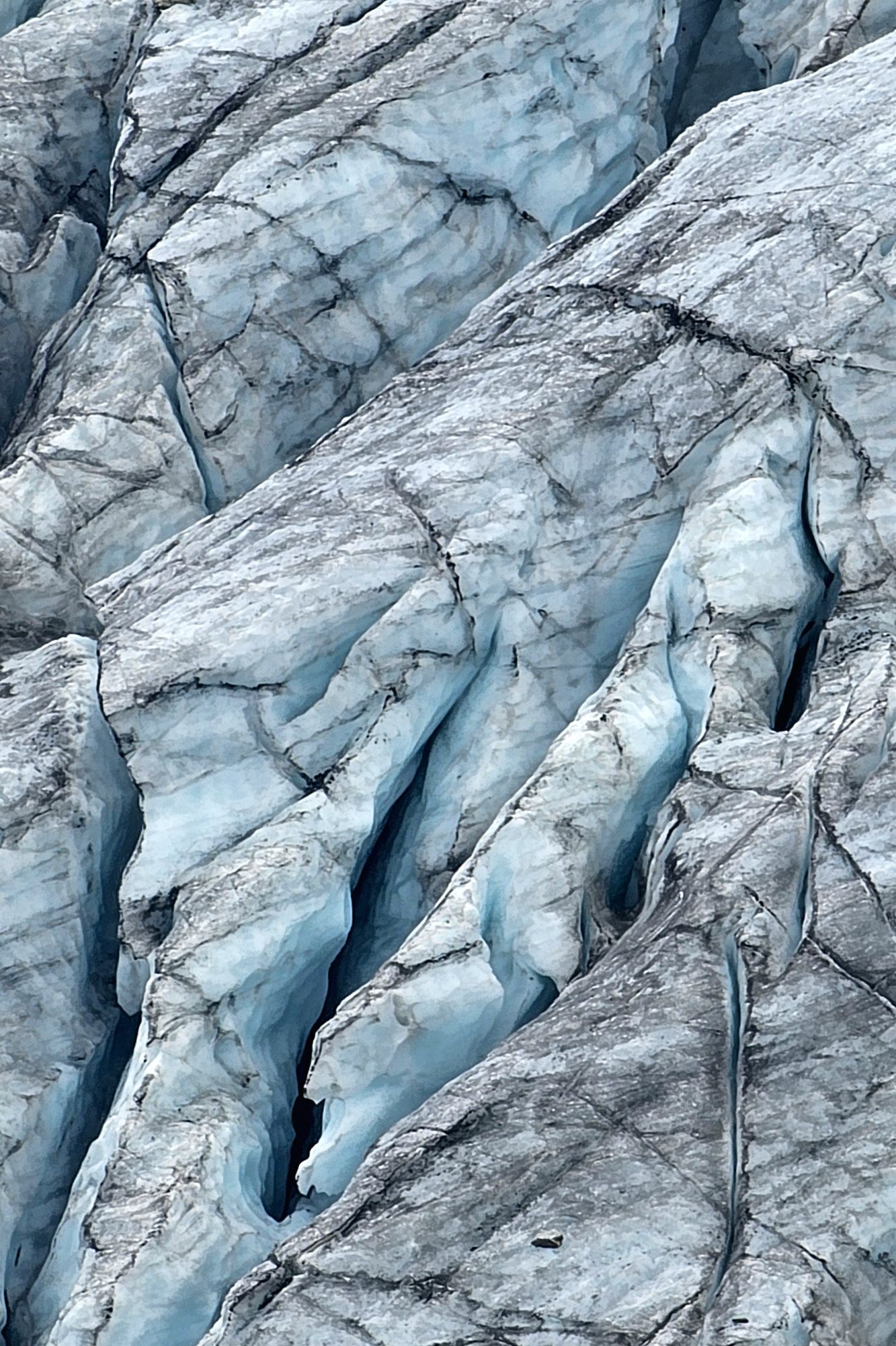
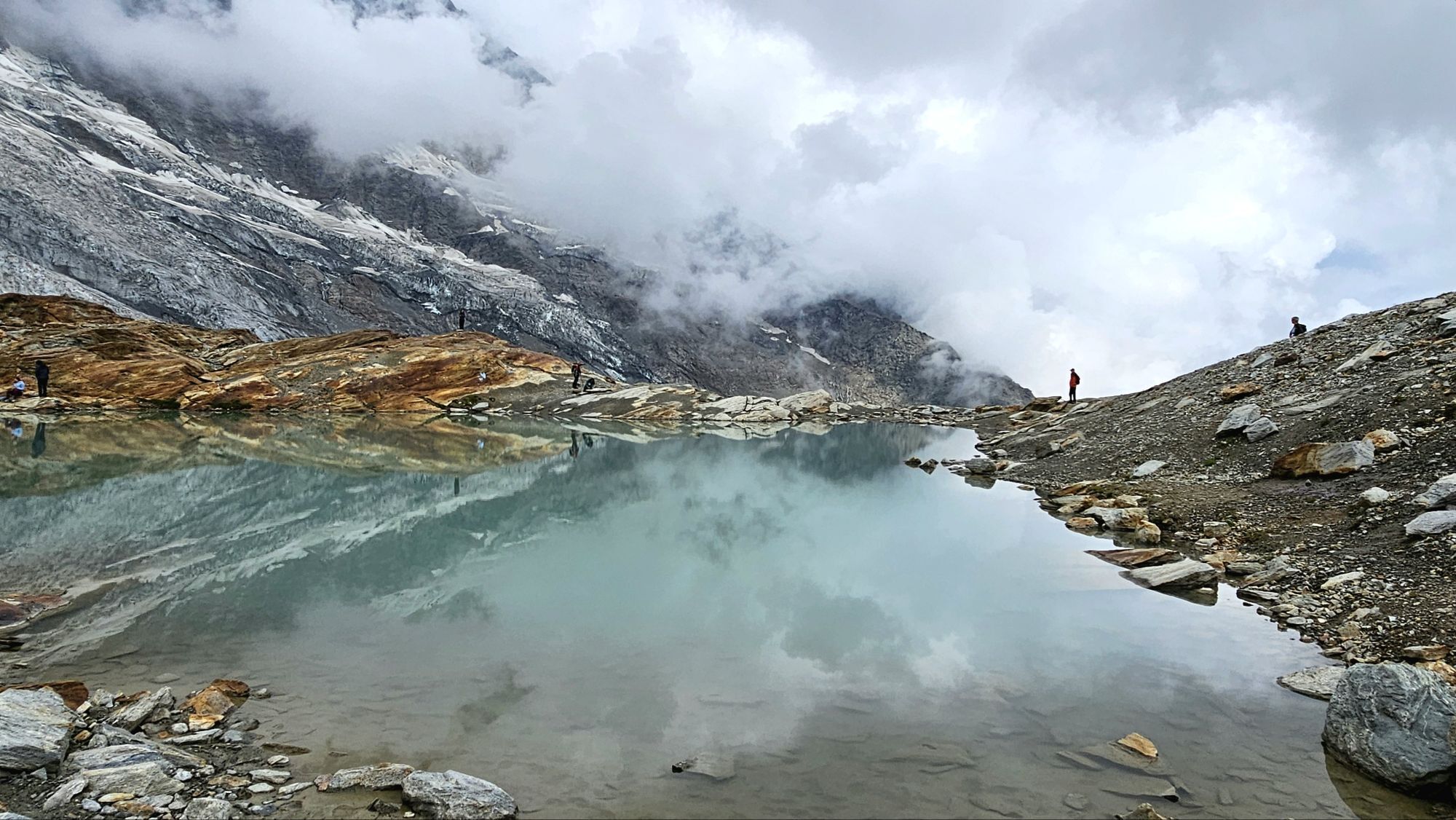
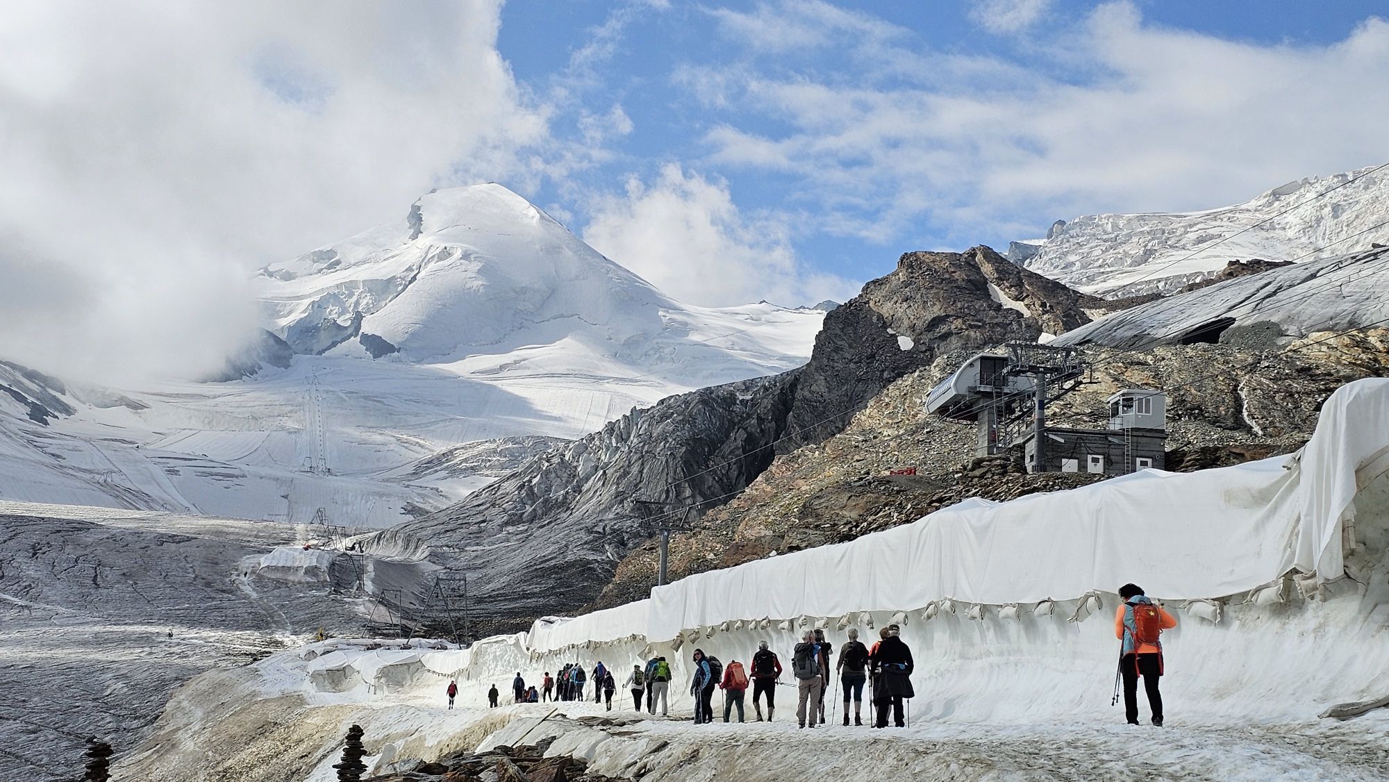
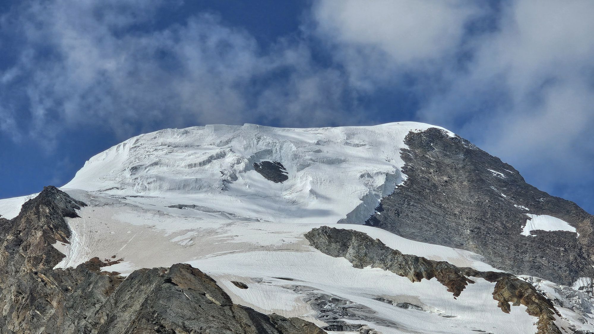
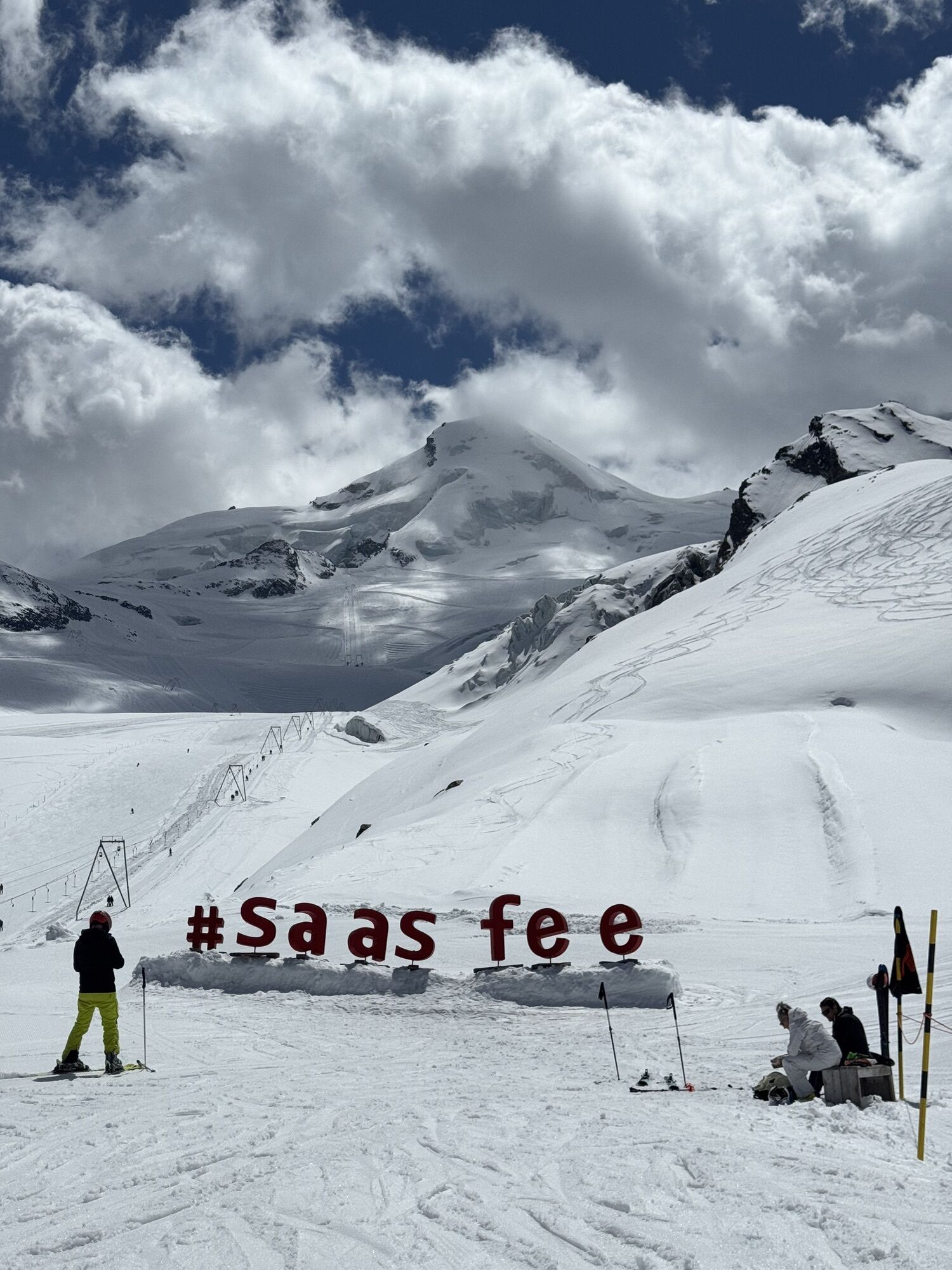
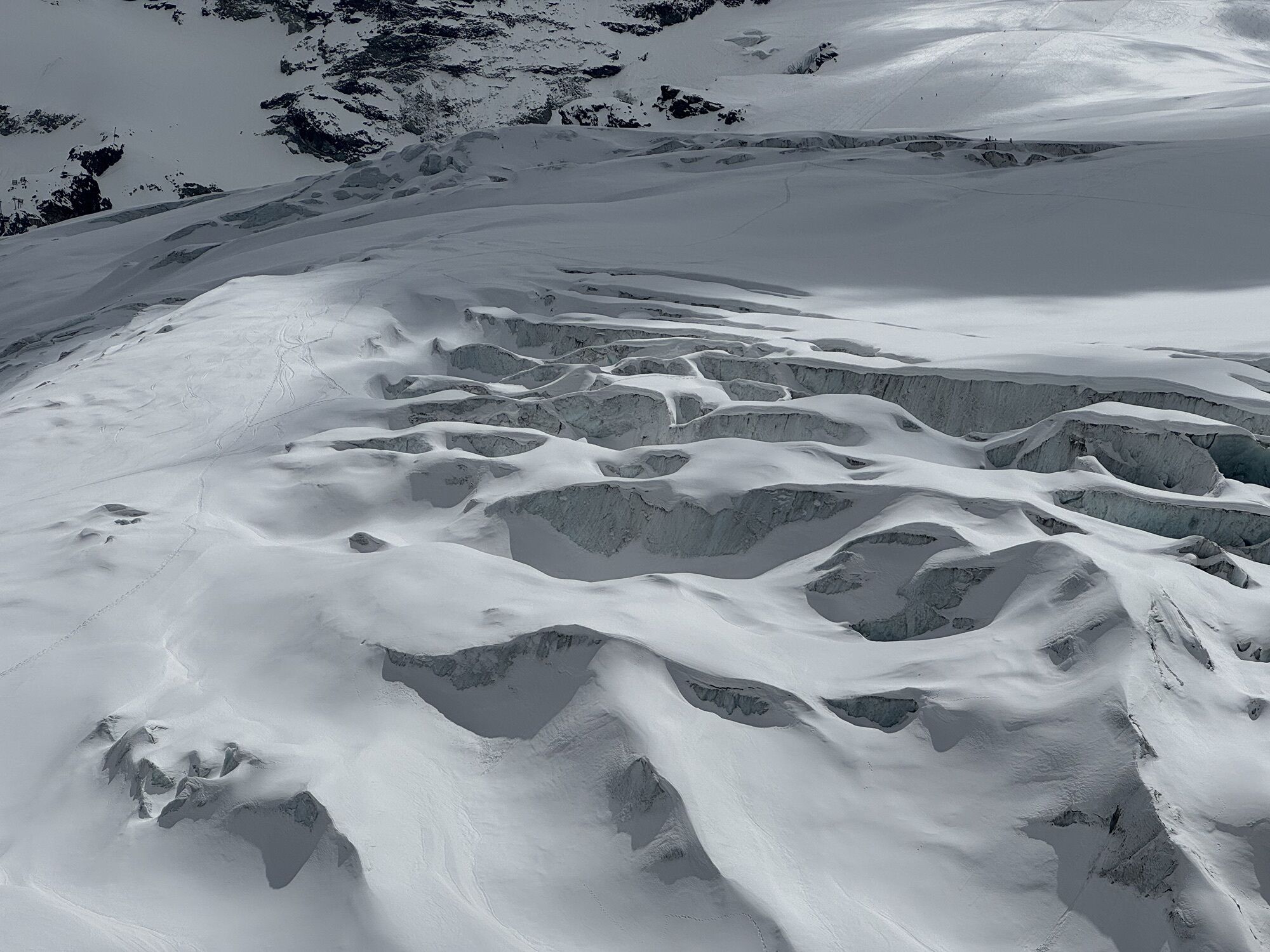
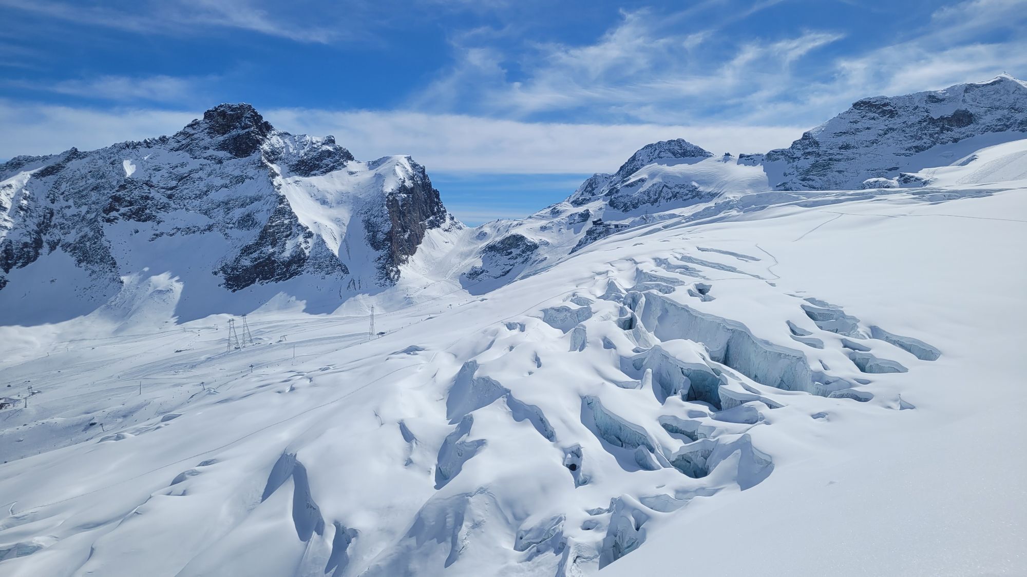
The circular trail starts at the Längfluh mountain station and goes up to the first hill next to the Steinhaus and the breathtaking view of the Saas-Fee glacier. After the little lift house, the ropes of the lifts are crossed underneath. The stone men lead to the rocky strip and the glacier lakes, which have formed due to the retreat of the glacier.
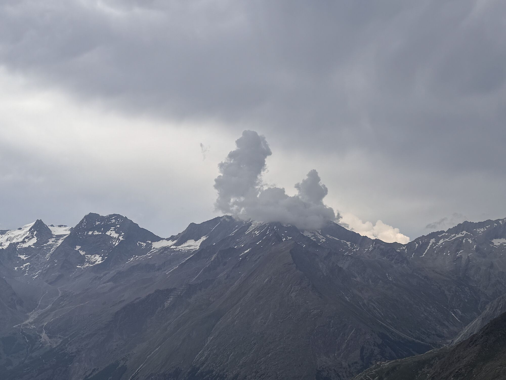
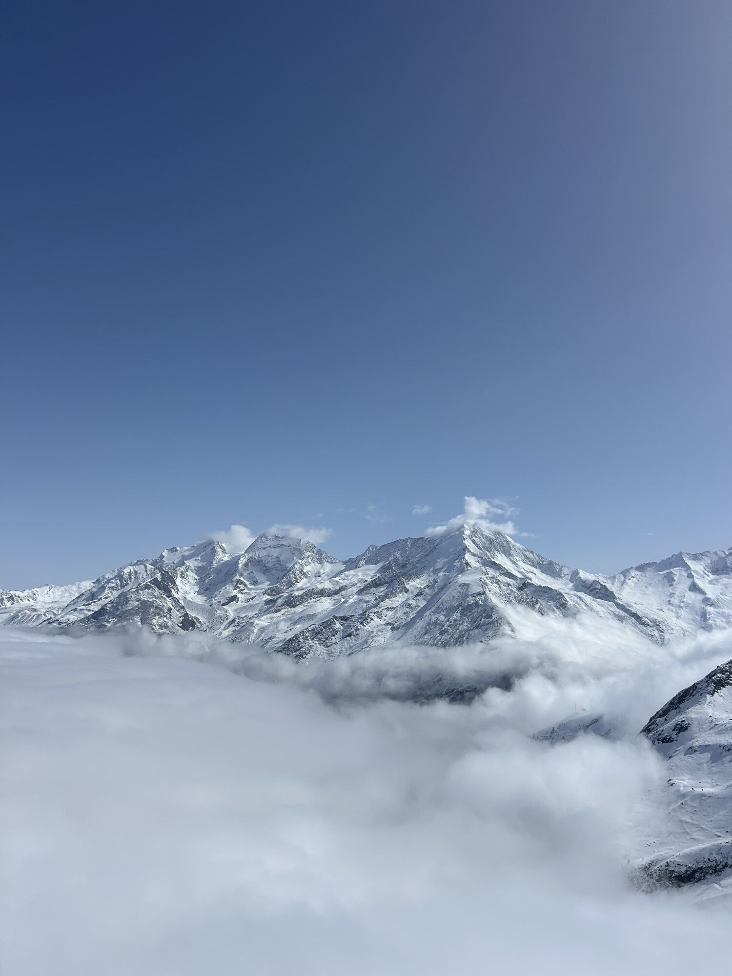
These lakes invite you to stay a while. The highest mountains in Switzerland are reflected in the water, rising almost endlessly into the air on the left. The view stretches north to the Fletschorn, Laggin and Weissmies peaks. Besides the other guests, you only hear the wind from the glacier, otherwise silence. The power of the mountains and the glacier ice can be felt everywhere.
At the end of the circular trail, you return to the mountain station.
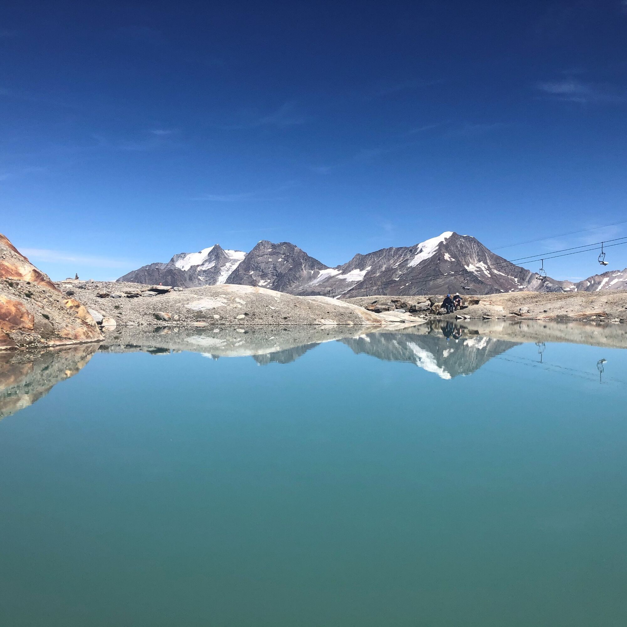
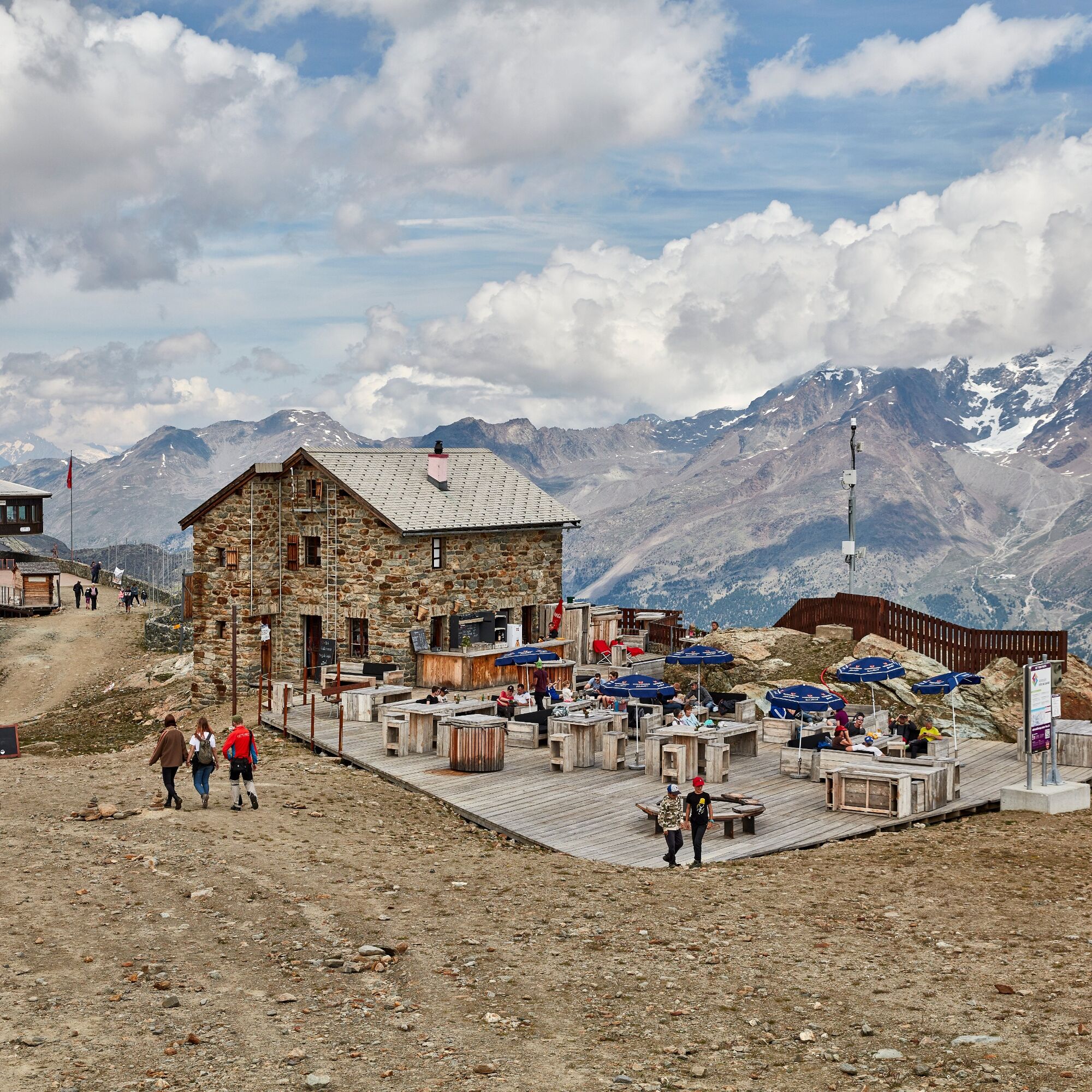
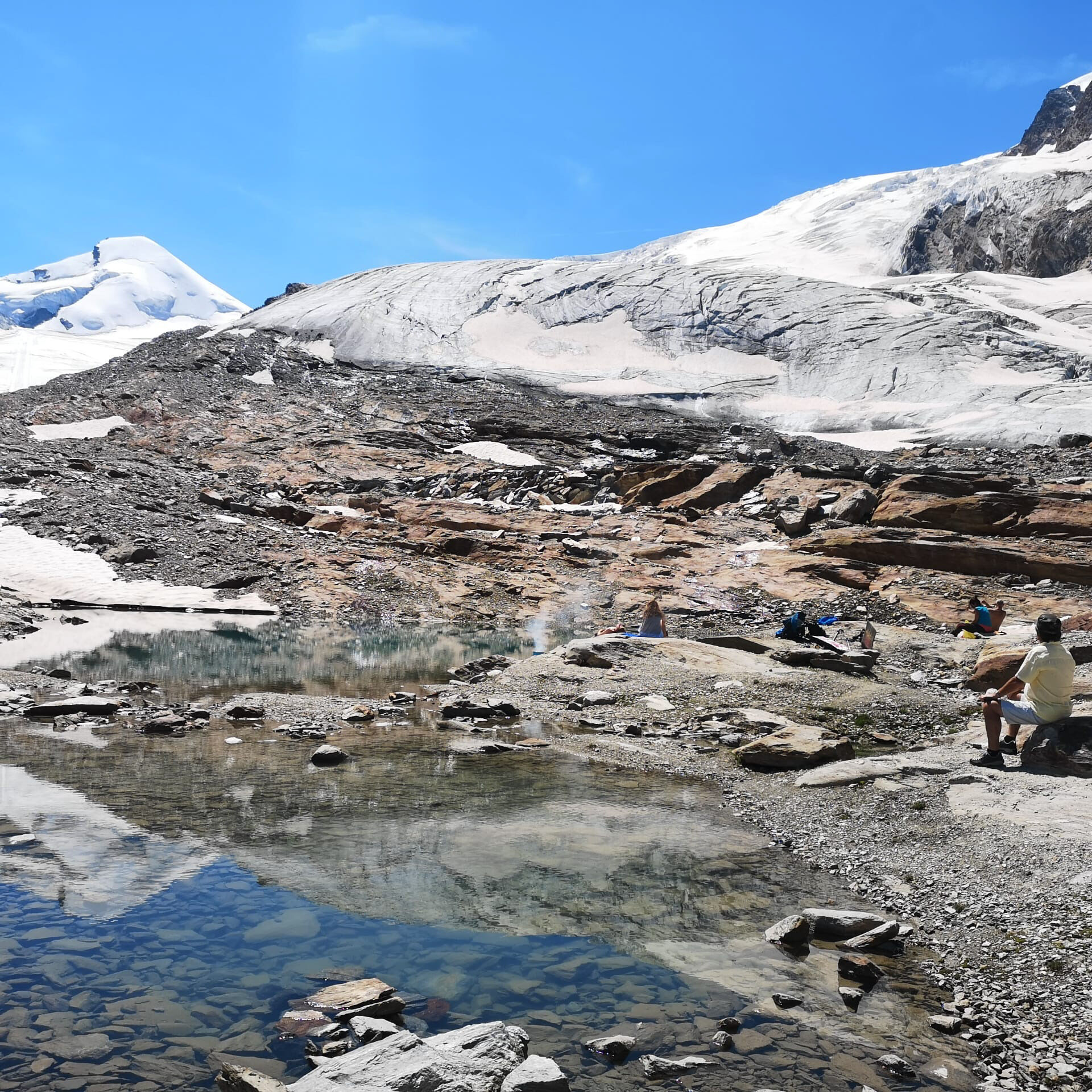
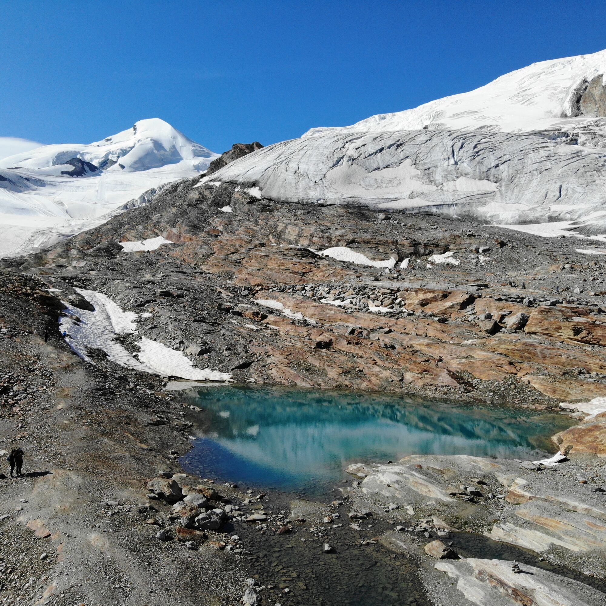
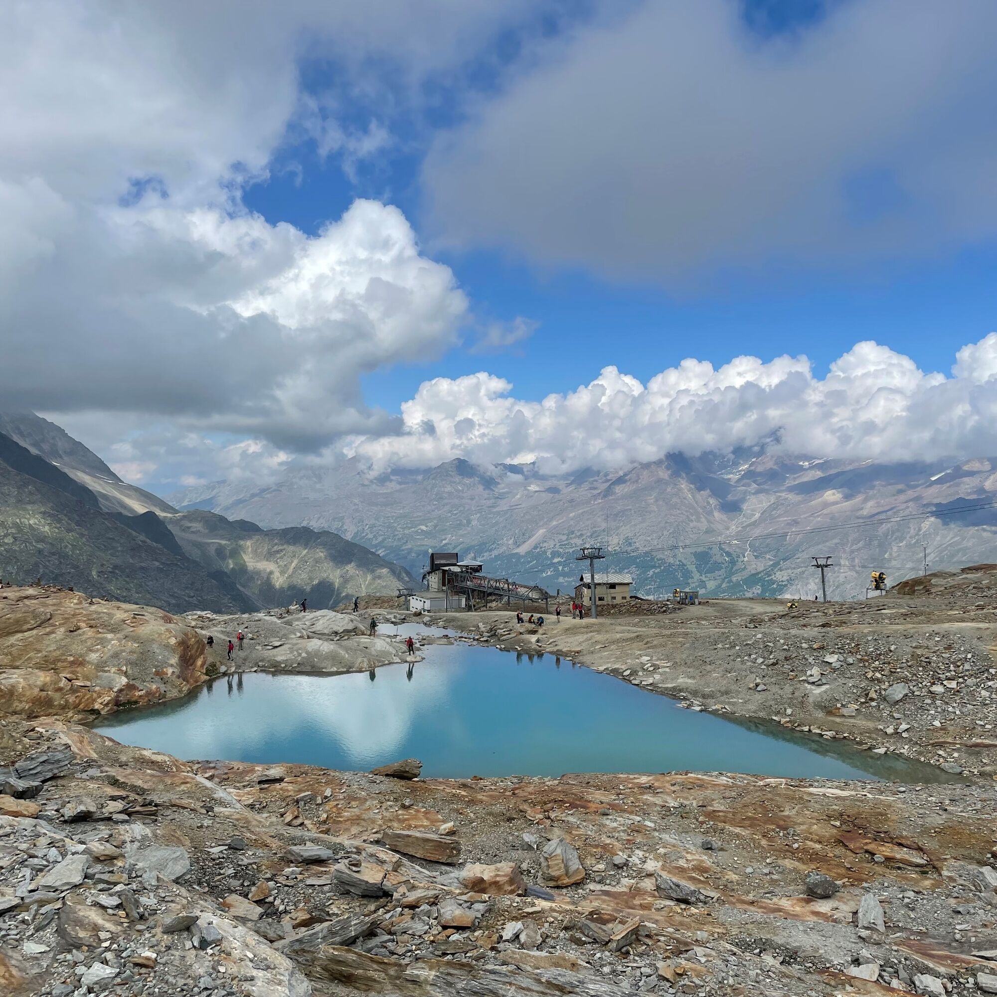
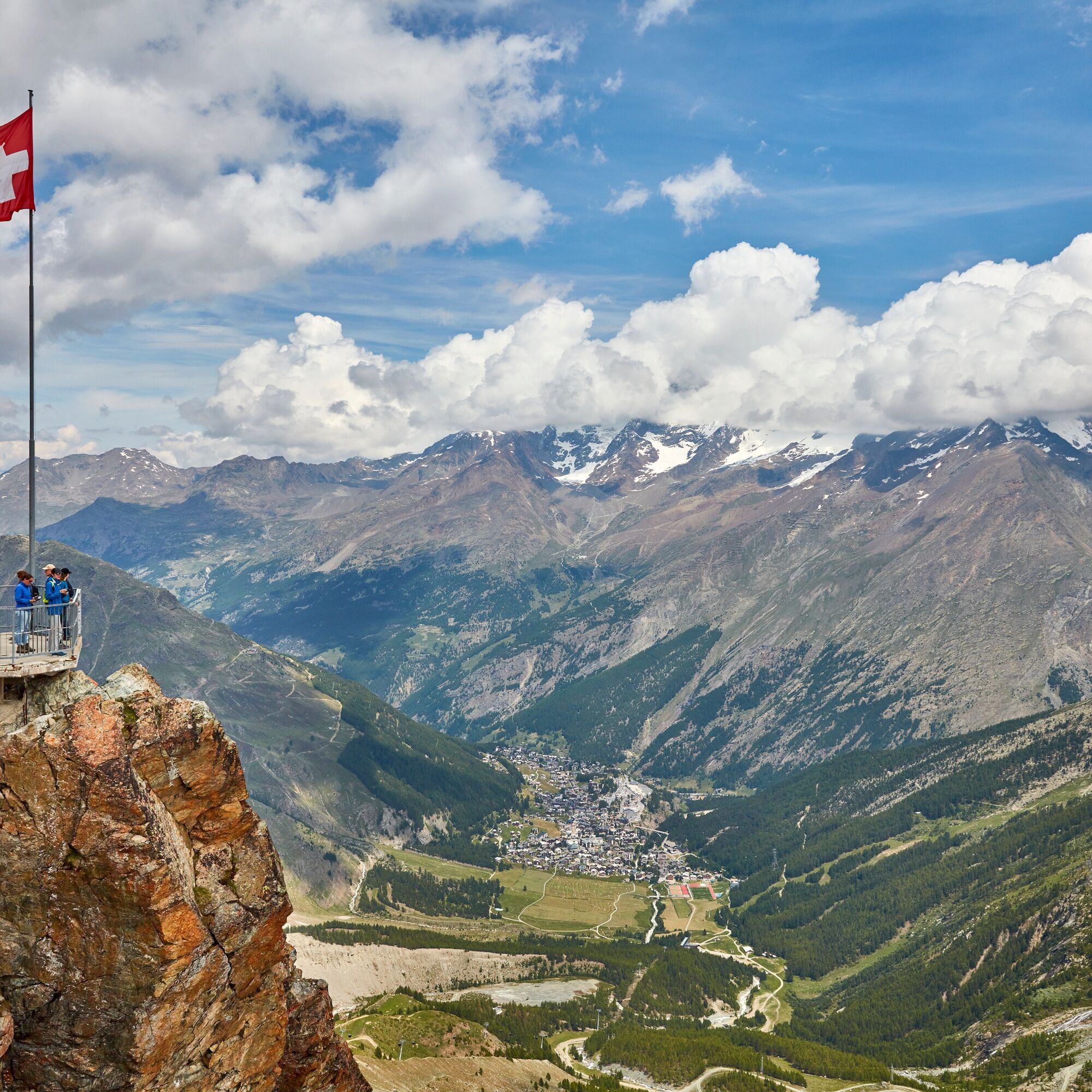

From the mountain station, the trail goes past the Steinhaus up to the lift house. Under the lift cables, the trail crosses the field to the rocky ledge where the lakes are located. On the way, stone men mark the way. The way back is the same.
Da
Da
Da
Good footwear
Outdoor clothing: Always carry a waterproof jacket
Sun protection
Liquids and food
Hiking poles (optional)
Navigation tool
First aid kit
Use of the trails and the information on this website is at hikers’ own risk. Local conditions may entail changes to routes.
Use marked trails only, and observe all signposting – for your own safety, to safeguard grazing animals and to avoid disturbing wildlife.
Please be considerate to other trail users, and to the plants and animals. Do not leave any waste in nature.
Take extra care protecting yourself from the sun at altitude. UV radiation can be exceptionally strong, even in cloudy weather.
Plan hike carefully: take into consideration fitness level of each participant, weather forecast and season.
Weather conditions can change quickly in the mountains, without warning. Appropriate clothing is therefore essential, along with adequate supplies of food and water. In uncertain weather, turn back in good time.
Do not venture onto glaciers without a mountain guide.
Take note of the warning signs that point out the constant danger, especially the danger of avalanches.
Inform others of planned route, and whenever possible, avoid going alone.
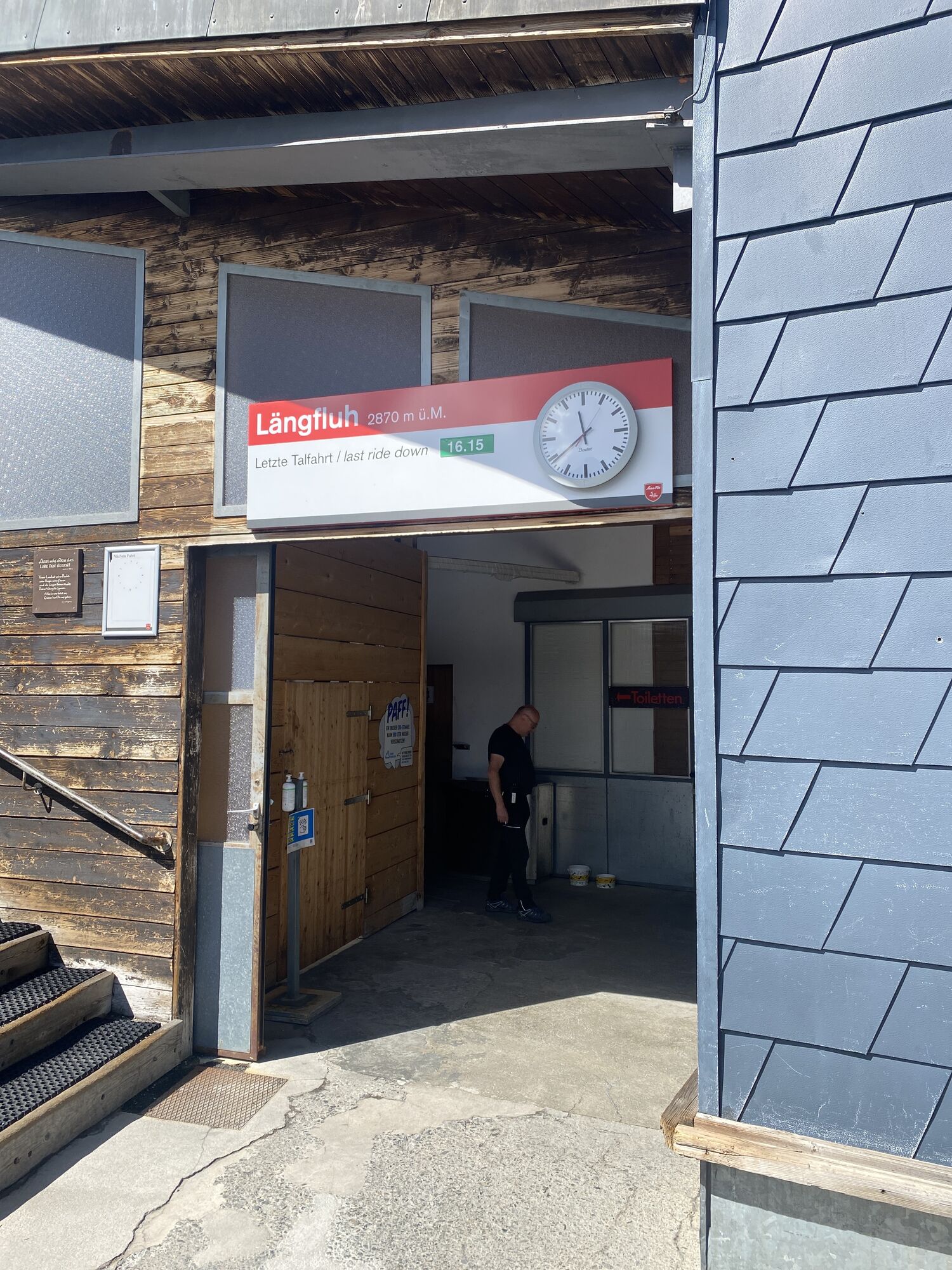
Pay attention to the opening hours of the cable cars.
Saas-Fee/Saastal can easily be reached by car from all directions, whether from Switzerland or abroad. You can reach us via Bern via the Lötschberg car transport from the north. You come over the Furka Pass or the Furka car transport from the east. From the south, you can reach us via the Simplon Pass or Simplon car transport, and from the west, you drive via Lausanne along the Rhône valley to Visp and towards Saas-Fee. From Visp, drive south in the direction of Saas-Fee. At the "Killerhof" roundabout after Stalden, take the second exit towards Saas-Fee. In Saas-Grund, turn right after the church in the direction of Saas-Fee.
You will find parking spaces in the car park directly at the entrance to Saas-Fee.
T2
Saastal Tourismus AG
Obere Dorfstrasse 2
3906 Saas-Fee
Phone: +41 (0)27 958 18 58
E-Mail: info@saas-fee.ch
www.saas-fee.ch
Saastal Bergbahnen AG
Panoramastrasse 5
3906 Saas-Fee
Phone: +41 (0)27 958 11 00
E-Mail: bergbahnen@saas-fee.ch
www.saas-fee.ch/bergbahnen
The terrace of the Längfluh mountain restaurant invite you to rest.

Spletne kamere s turneje
Pridobite vpogled
Vedno v živo na mestu z več kot 9.500 spletnimi kamerami. bergfex Kot uporabnik Pro si lahko zdaj ogledate ustrezne spletne kamere za številne izlete v aplikaciji izleti iz. Tako si lahko neposredno ogledate trenutne razmere.
Priljubljeni izleti v okolici
-
4.9
Allalinhorn vom Mittelallalin über Normalweg
srednjaVisokogorska tura 6.15 km -
3.3
Europaweg Grächen - Europahütte - Zermatt
težkoPohodništvo 39.9 km -
3.6
Höhenweg Kreuzboden - Almagelleralp - Saas-Almagell
Pohodništvo 9.74 km -
3.5
Waldweg Saas-Fee - Saas-Almagell
Pohodništvo 2.83 km -
3.8
Höhenweg Saas-Fee - Grächen
Pohodništvo 12.0 km -
5.0
Weissmies Südgrat von Saas Almagell
srednjaVisokogorska tura 20.5 km -
5.0
Marmot mountain path Spielboden
srednjaPohodništvo 3.89 km -
5.0
Via ferrata Jägihorn
težkoVia ferrata 6.14 km -
4.6
Gspon high-altitude route
srednjaPohodništvo 13.9 km -
Riffelalp - Gornergrat
srednjaPohodništvo 6.22 km
Pohodništvo in sledenje


Ne zamudite ponudb in navdiha za naslednje počitnice
Vaš e-poštni naslov je bil dodan na poštni seznam.





