


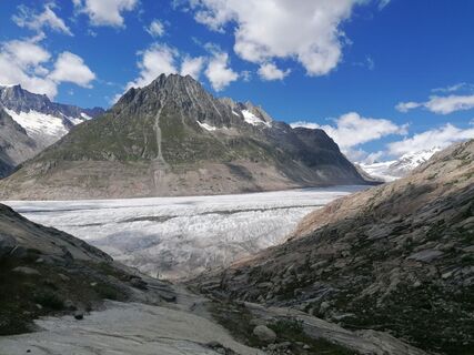
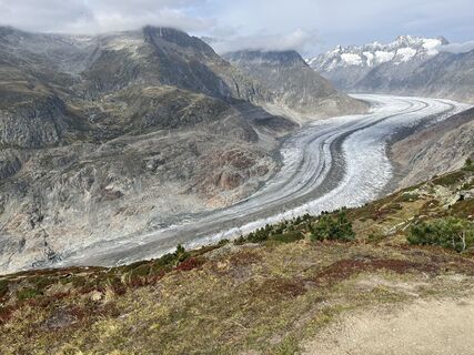
Along the Great Aletsch Glacier, Bettmeralp
Fotografije naših uporabnikov
-

 © reemyyseUstvarjeno na 14.01.2025
 -
 © reemyyseUstvarjeno na 14.01.2025
 -
 © Csilla HanákUstvarjeno na 11.10.2023
 -

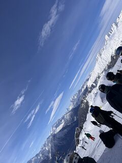
 © Ede FaludiUstvarjeno na 20.02.2025
 -
 © Csilla HanákUstvarjeno na 11.10.2023
 -
 © Yentl SpiteriUstvarjeno na 01.03.2026
 -

 © Peter VonarburgUstvarjeno na 25.02.2026
 -
 © Eckehard LiesausUstvarjeno na 24.02.2026
 -
 © Peter VonarburgUstvarjeno na 23.02.2026
 -
 © Peter VonarburgUstvarjeno na 22.02.2026
 -
 © André MoergeliUstvarjeno na 11.10.2025
 -
 © André MoergeliUstvarjeno na 11.10.2025
 -
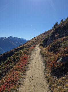
 © Severin SturzeneggerUstvarjeno na 04.10.2025
 -
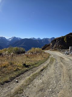
 © Severin SturzeneggerUstvarjeno na 04.10.2025
 -
 © Severin SturzeneggerUstvarjeno na 04.10.2025
 -
 © Severin SturzeneggerUstvarjeno na 04.10.2025
 -
 © froehlthUstvarjeno na 18.09.2025
 -
 © froehlthUstvarjeno na 18.09.2025
 -
 © froehlthUstvarjeno na 18.09.2025
 -
 © Peter spierenburgUstvarjeno na 04.09.2025
 -
 © Peter spierenburgUstvarjeno na 04.09.2025
 -
 © Peter spierenburgUstvarjeno na 04.09.2025
 -
 © Peter spierenburgUstvarjeno na 04.09.2025
 -
 © Peter spierenburgUstvarjeno na 02.09.2025
 -
 © ceibyUstvarjeno na 26.08.2025
 -
 © Babs MoergeliUstvarjeno na 30.07.2025
 -
 © luyyyUstvarjeno na 13.07.2025
 -
 © luyyyUstvarjeno na 12.07.2025
 -
 © luyyyUstvarjeno na 12.07.2025
 -
 © reemyyseUstvarjeno na 14.01.2025
 -
 © reemyyseUstvarjeno na 14.01.2025
 -
 © reemyyseUstvarjeno na 14.01.2025
 -
 © reemyyseUstvarjeno na 14.01.2025
 -
 © reemyyseUstvarjeno na 14.01.2025
 -
 © reemyyseUstvarjeno na 14.01.2025
 -
 © reemyyseUstvarjeno na 14.01.2025
 -
 © reemyyseUstvarjeno na 14.01.2025
 -
 © Peter VonbrülUstvarjeno na 14.01.2025
 -
 © Zoé Eichenberger 1Ustvarjeno na 22.09.2024
 -
 © Zoé Eichenberger 1Ustvarjeno na 22.09.2024
 -
 © Zoé Eichenberger 1Ustvarjeno na 22.09.2024
 -
 © Barry van DopUstvarjeno na 05.06.2024
 -
 © Barry van DopUstvarjeno na 05.06.2024
 -
 © Barry van DopUstvarjeno na 05.06.2024
 -
 © Barry van DopUstvarjeno na 05.06.2024
 -
 © Barry van DopUstvarjeno na 05.06.2024
 -
 © Barry van DopUstvarjeno na 05.06.2024
 -
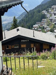
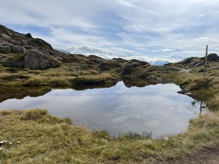
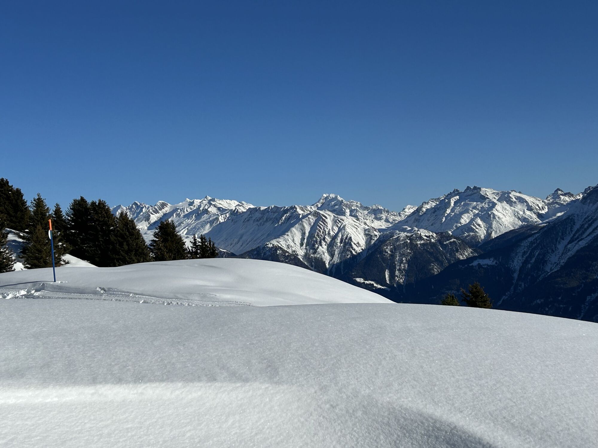
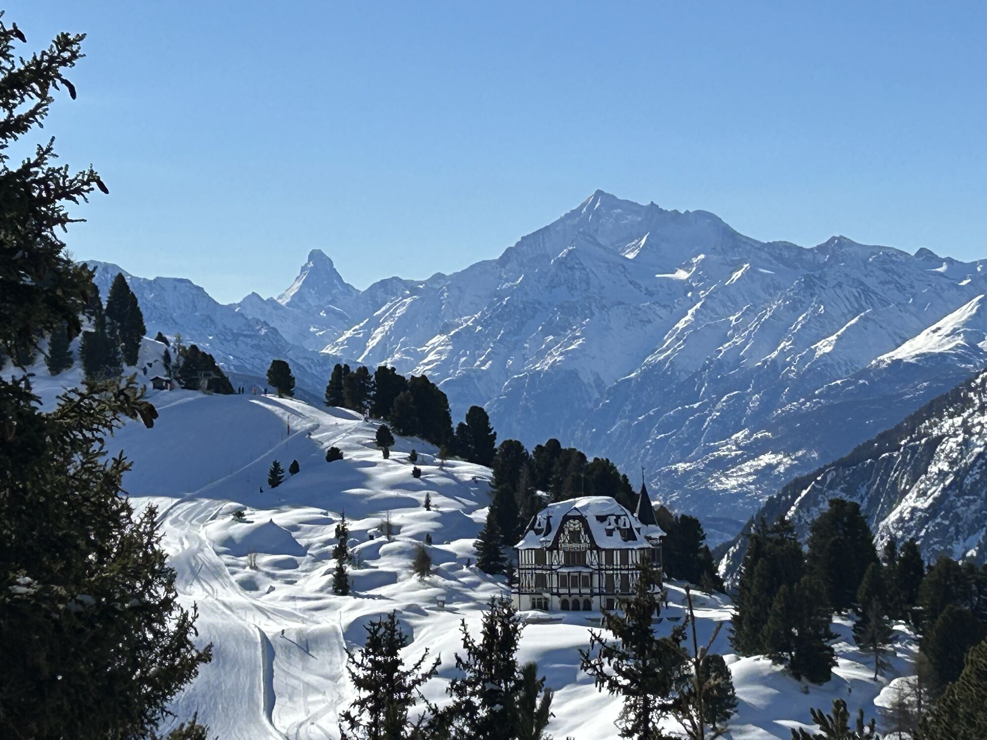
 © ClaudiaUstvarjeno na 11.02.2023


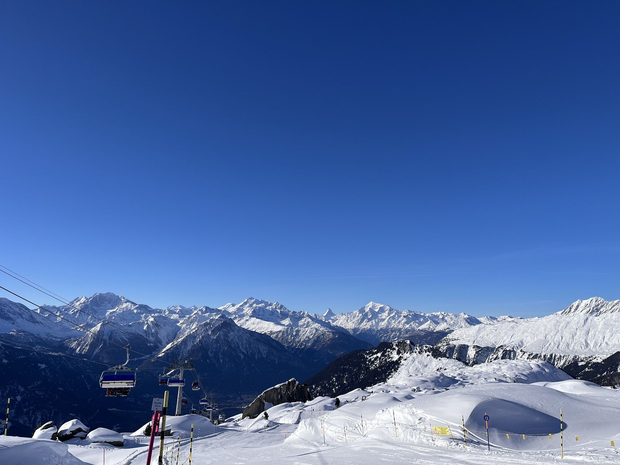
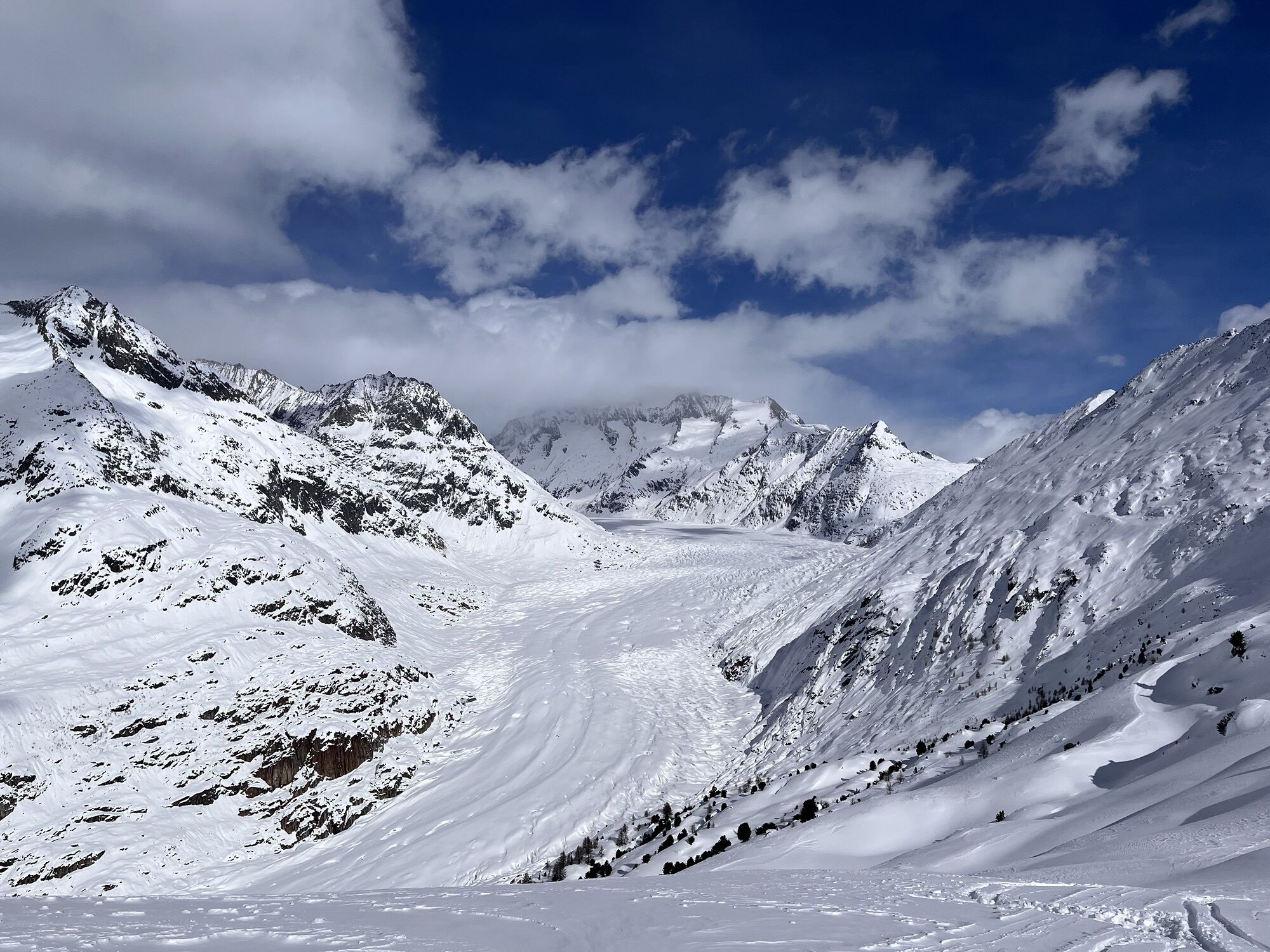
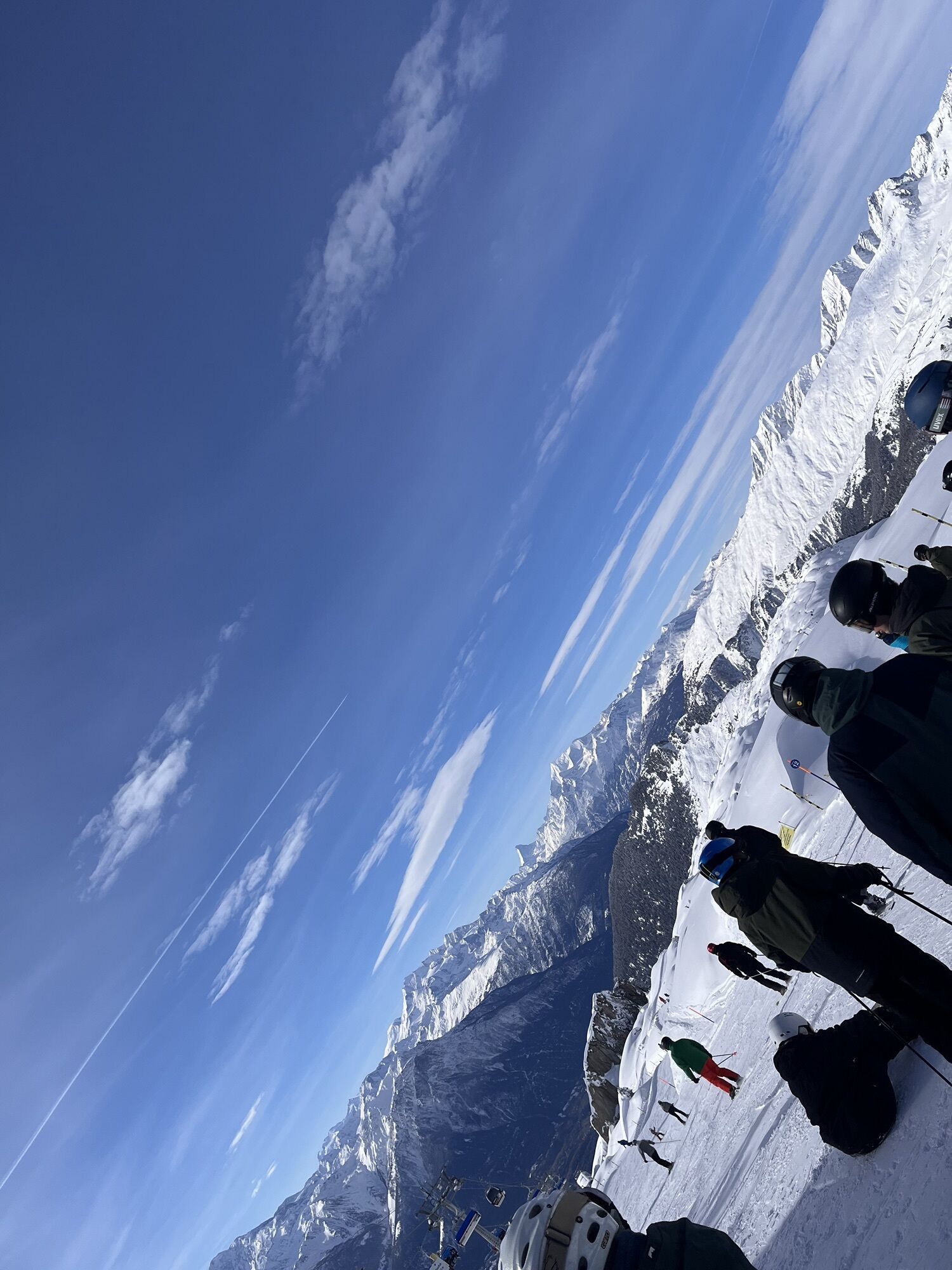

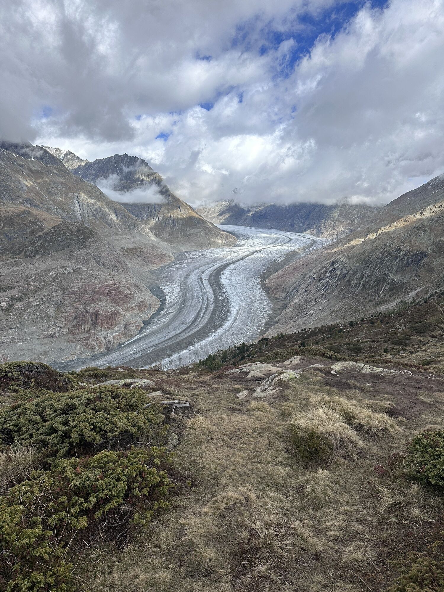
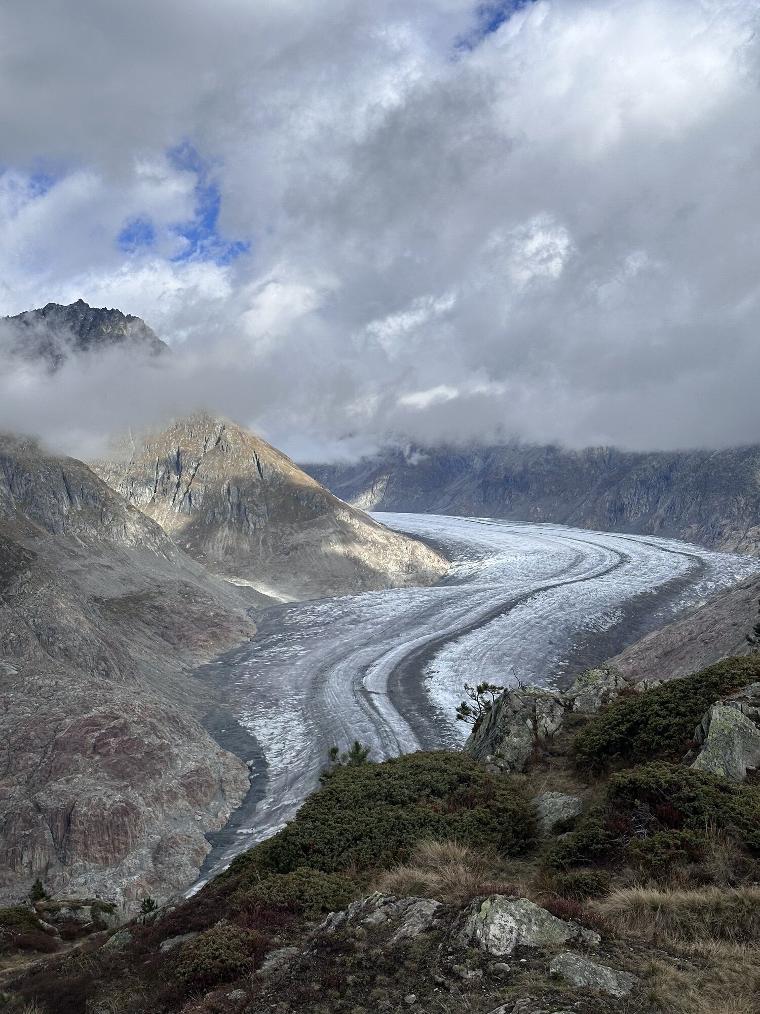
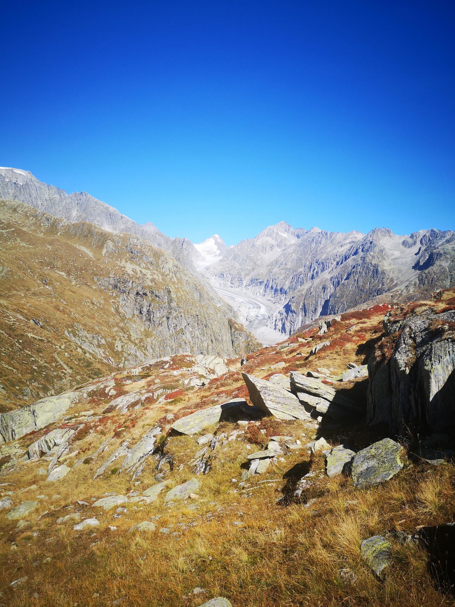
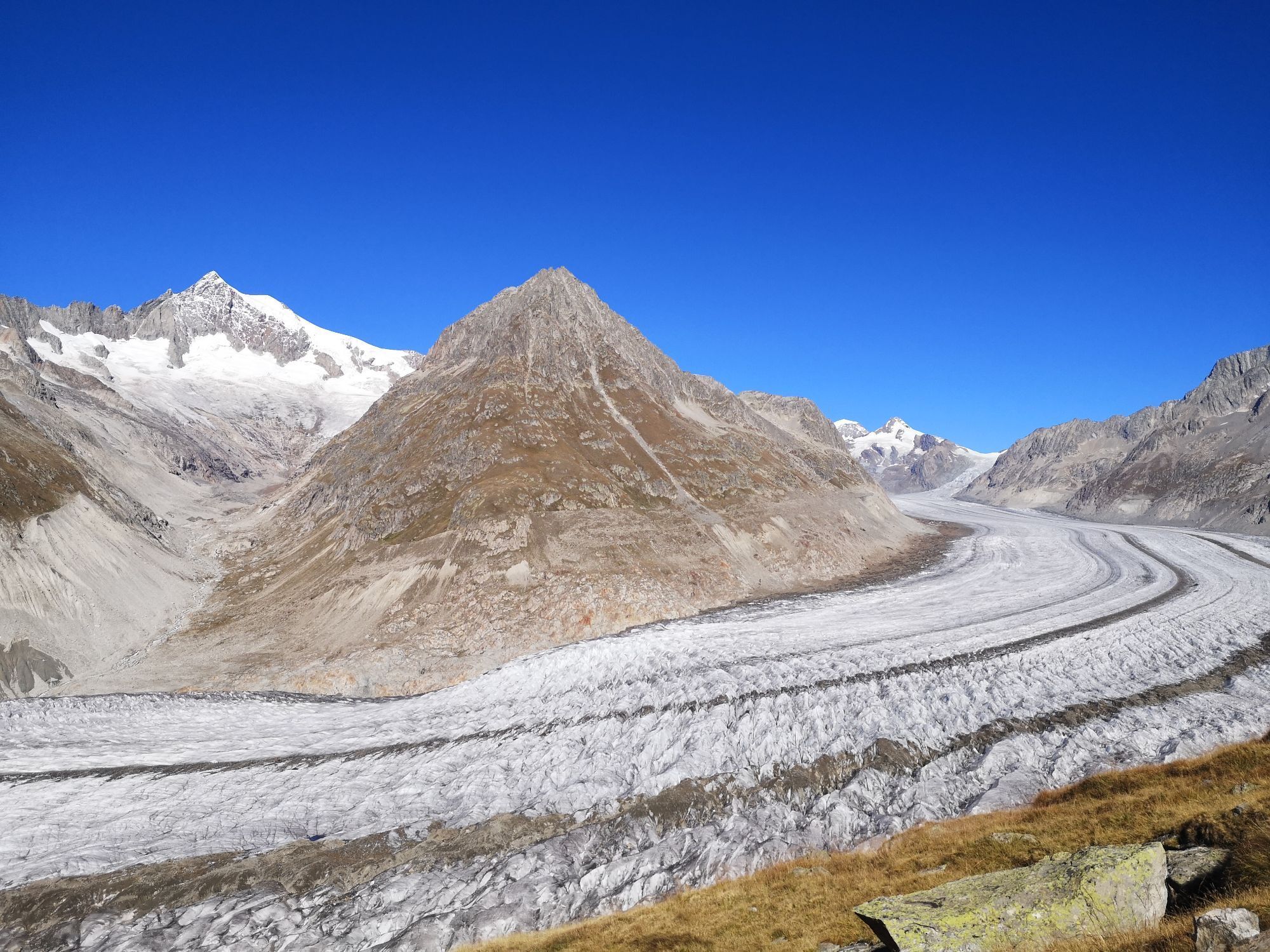
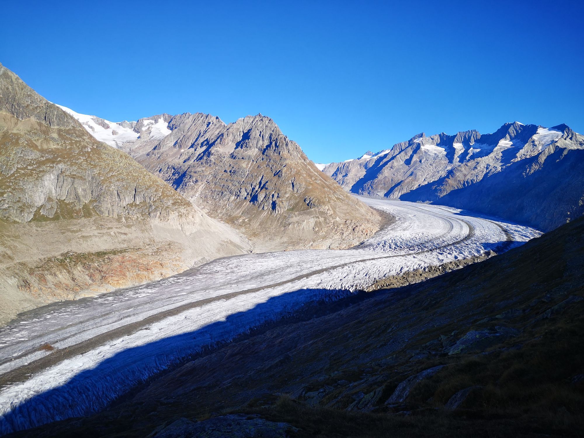
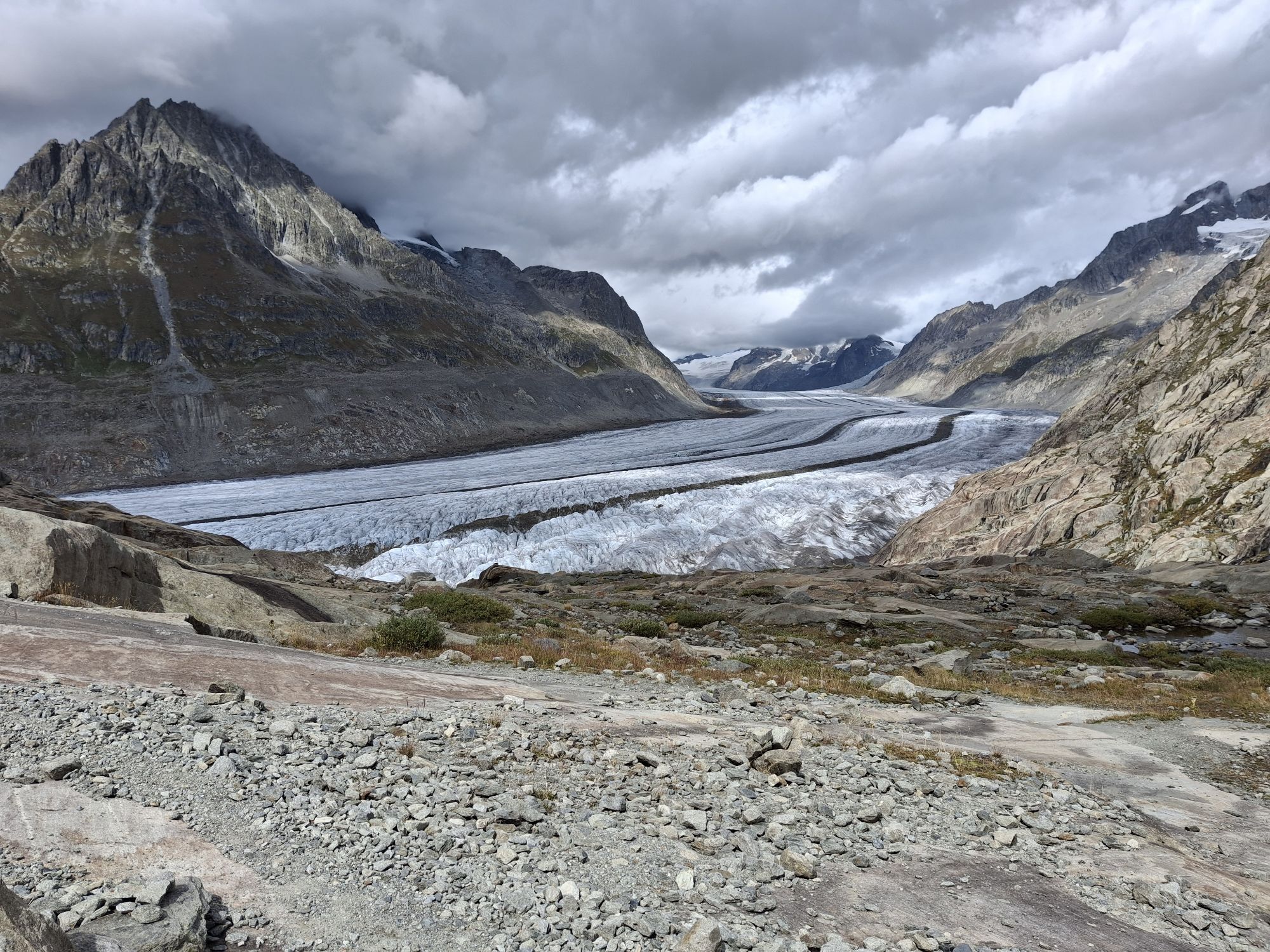


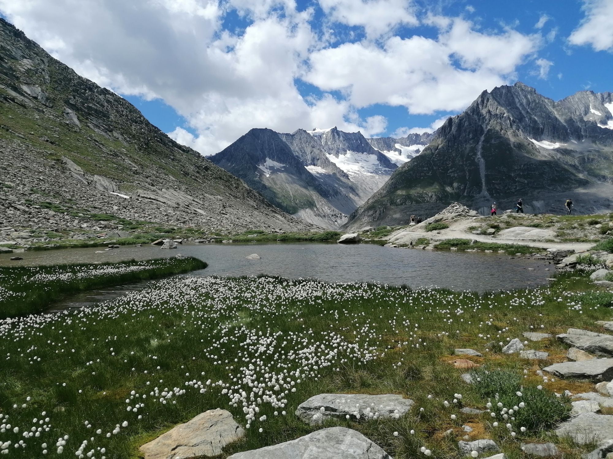


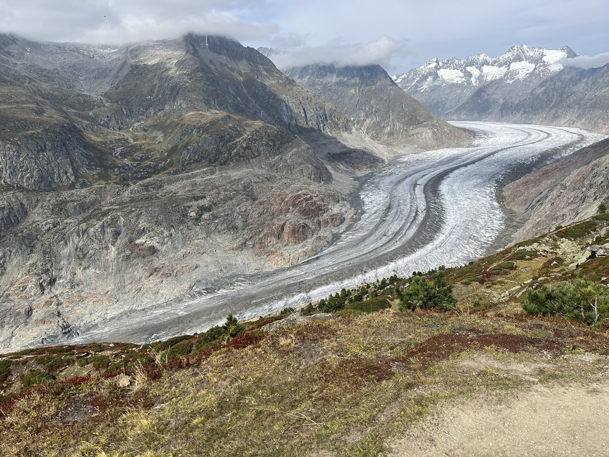


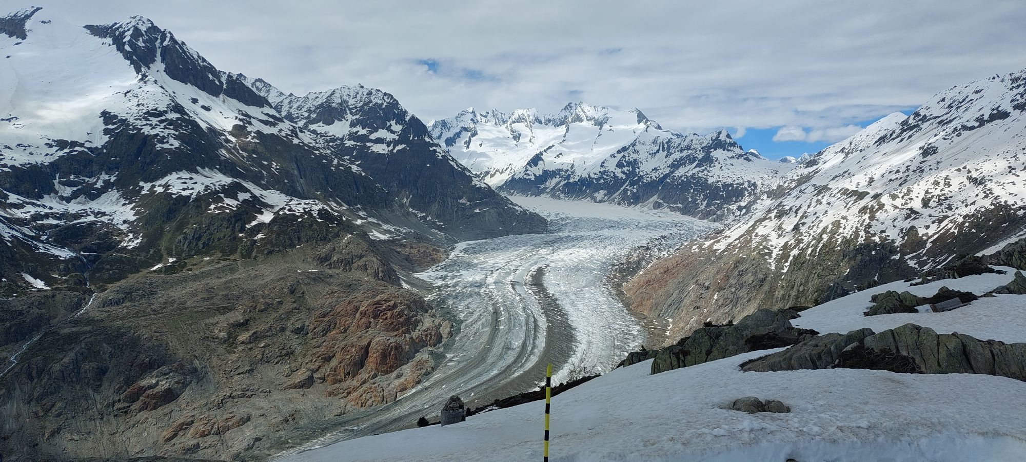
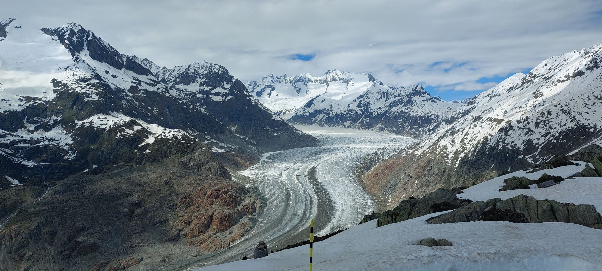


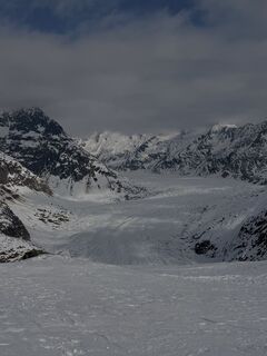
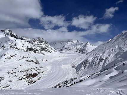
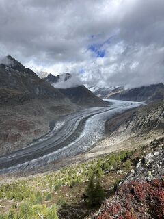
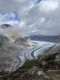
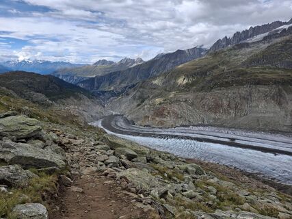
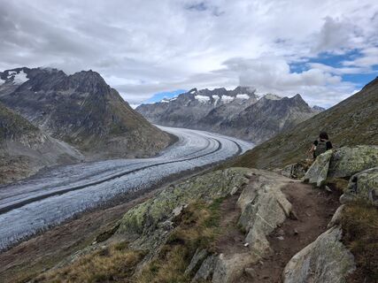
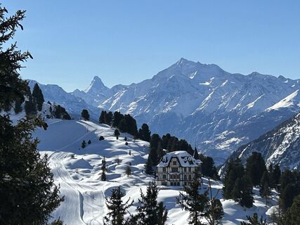
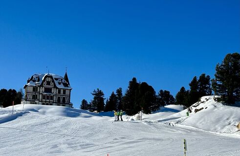
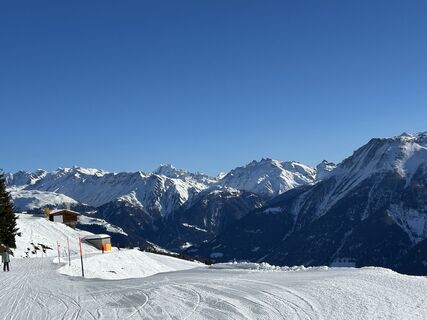
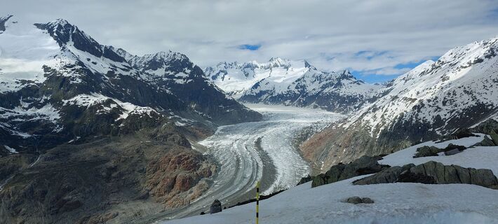
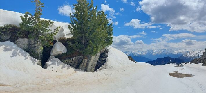
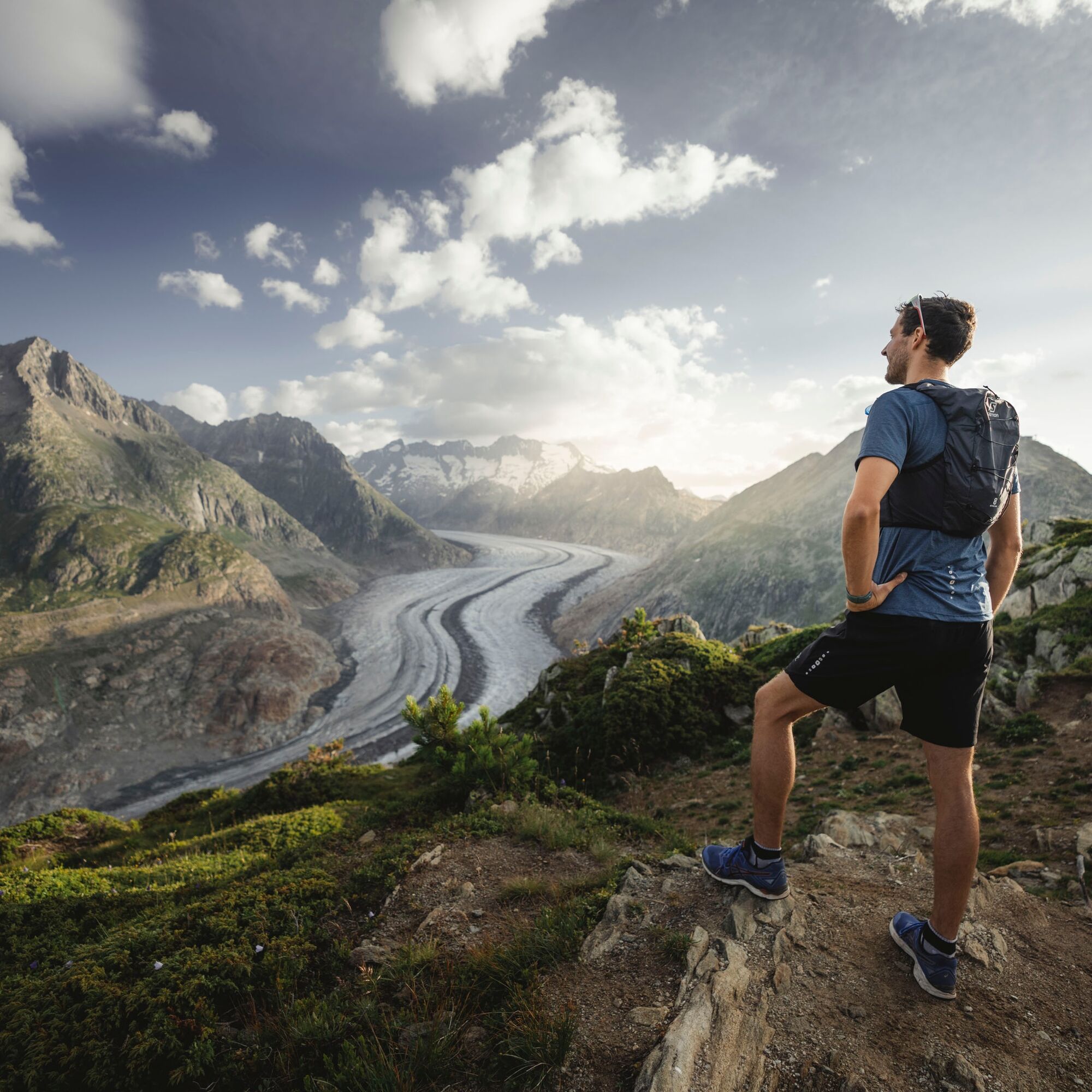
The Jungfrau-Aletsch region has been part of the UNESCO World Heritage since 2001. The Great Aletsch Glacier lies at the heart of this region and, with a length of 20 kilometers and a width of up to 1,...
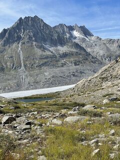
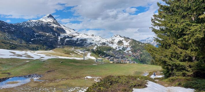
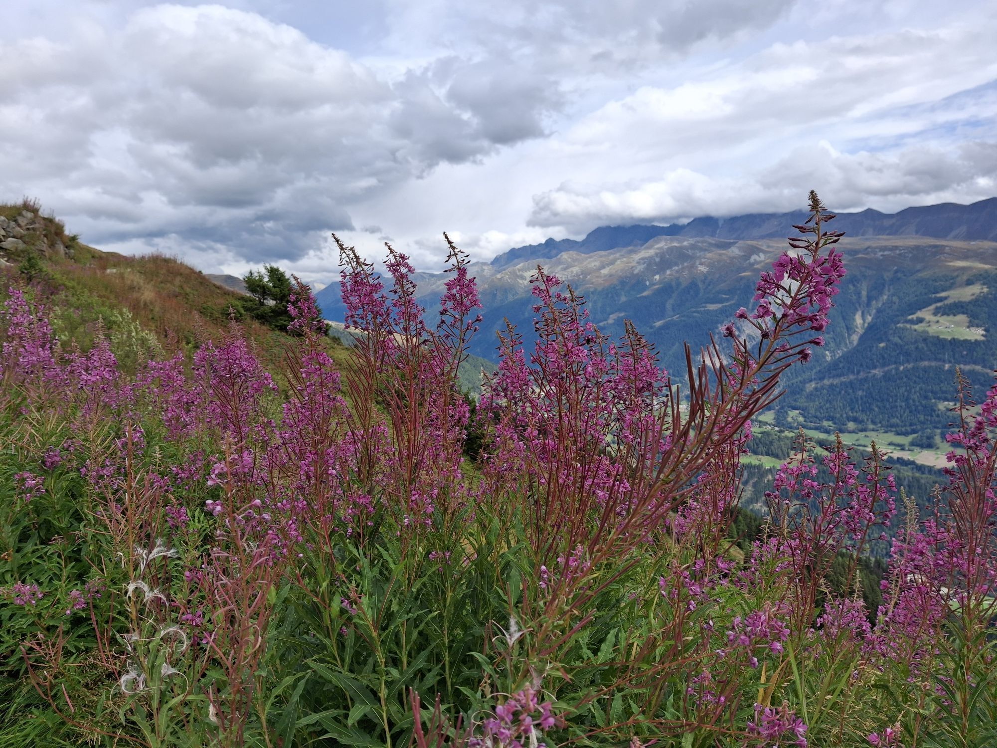
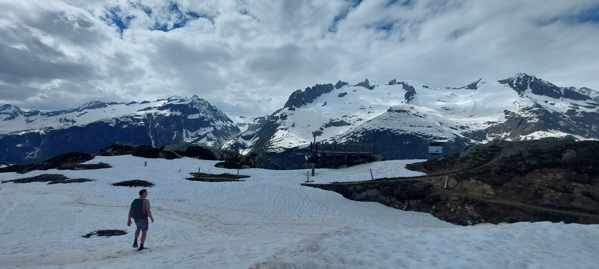
The Jungfrau-Aletsch region has been part of the UNESCO World Heritage since 2001. The Great Aletsch Glacier lies at the heart of this region and, with a length of 20 kilometers and a width of up to 1,000 meters, is the largest glacier in the Alps. The route runs along this ice giant on a gently descending path and also offers spectacular views of the surrounding peaks such as Aletschhorn, Matterhorn, Weisshorn, Dom and other impressive 4000-meter peaks. At the halfway point, the cozy Märjelenhütte glacier hut invites you to rest. On the return to Bettmeralp, you bypass the Tälligrat and return via a wilder, less frequented but no less breathtaking route back to Bettmeralp. The loop takes you through Unner Tälli, then below Fiescheralp along a flat forest path back to the starting point.
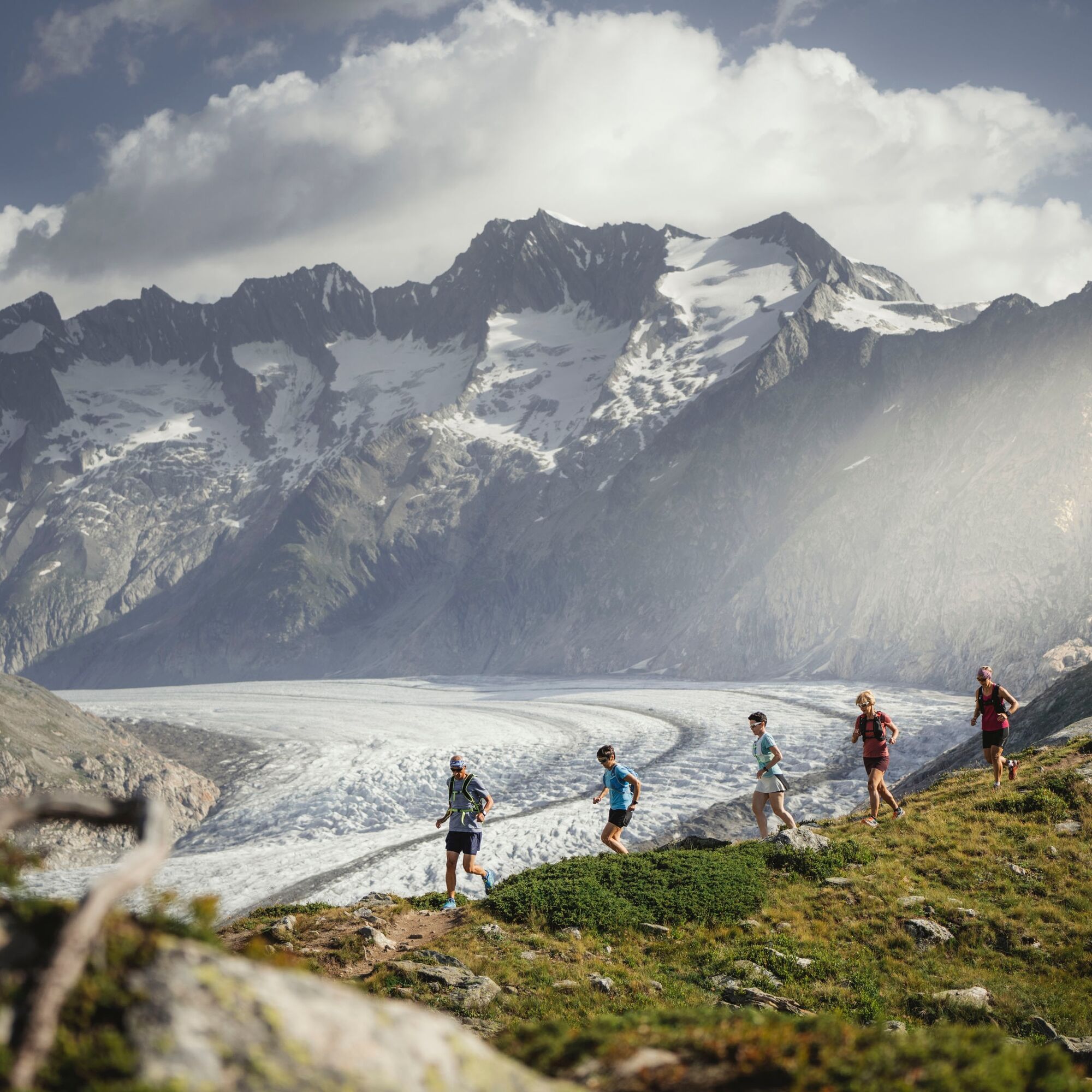
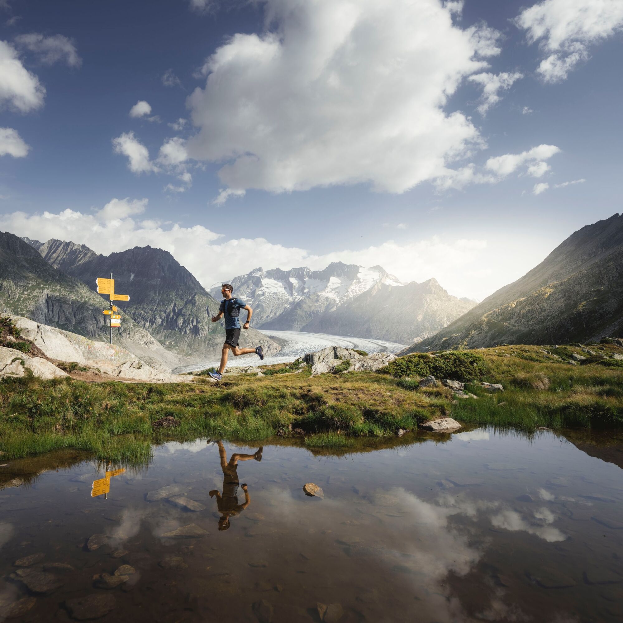
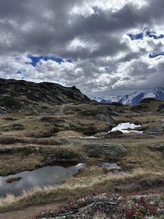
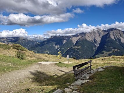
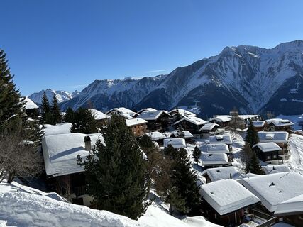
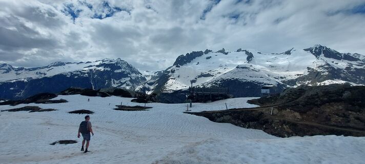
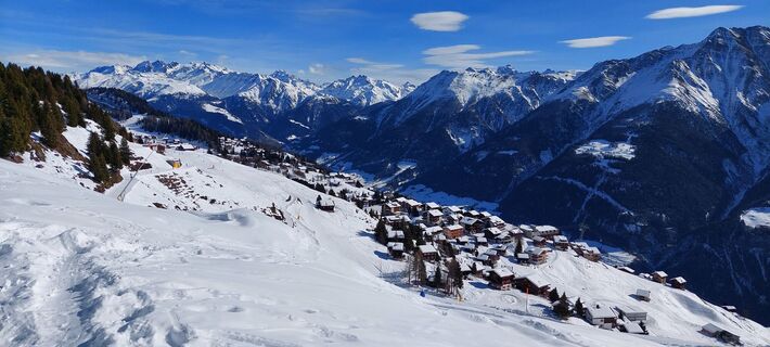
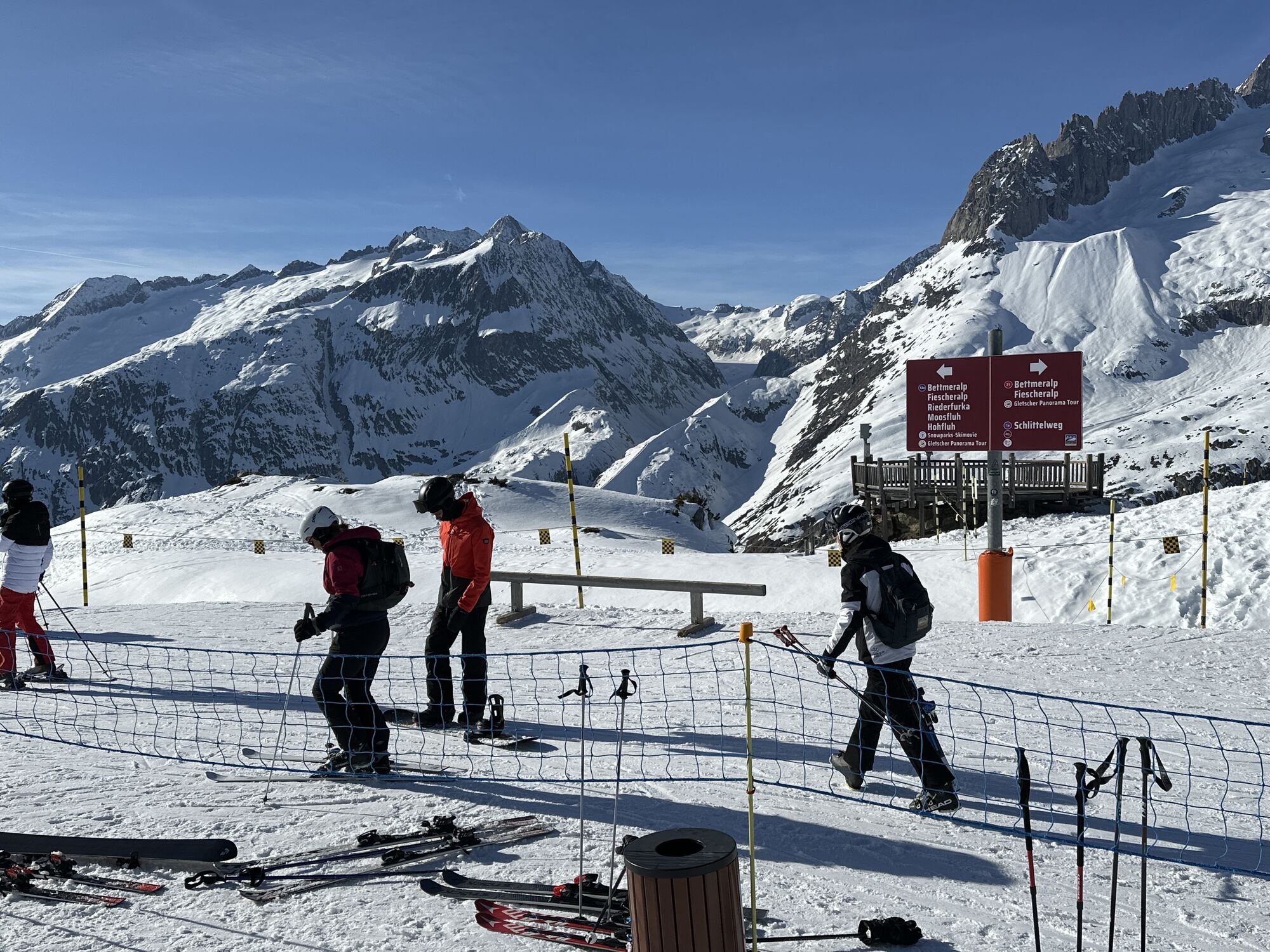
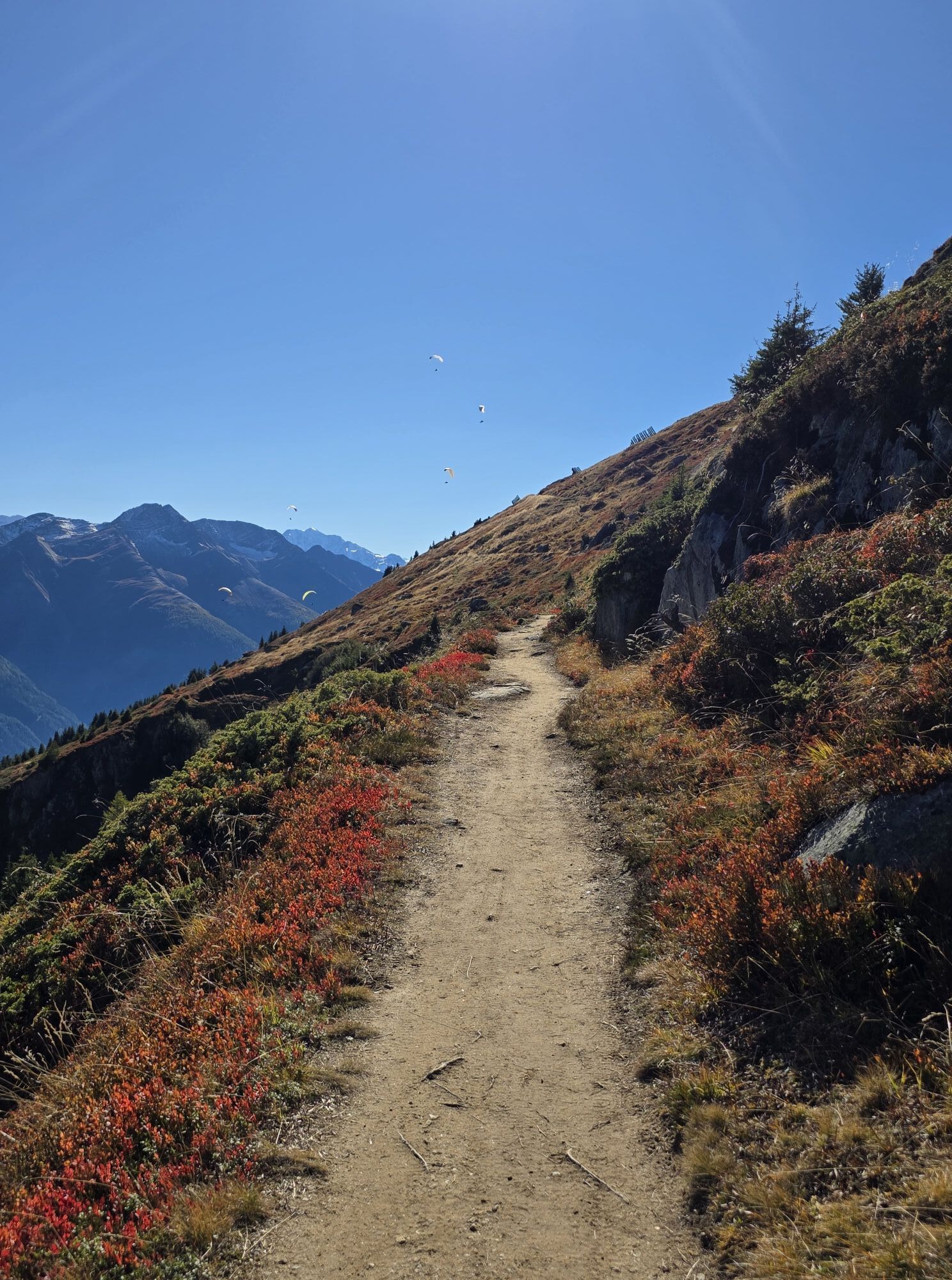
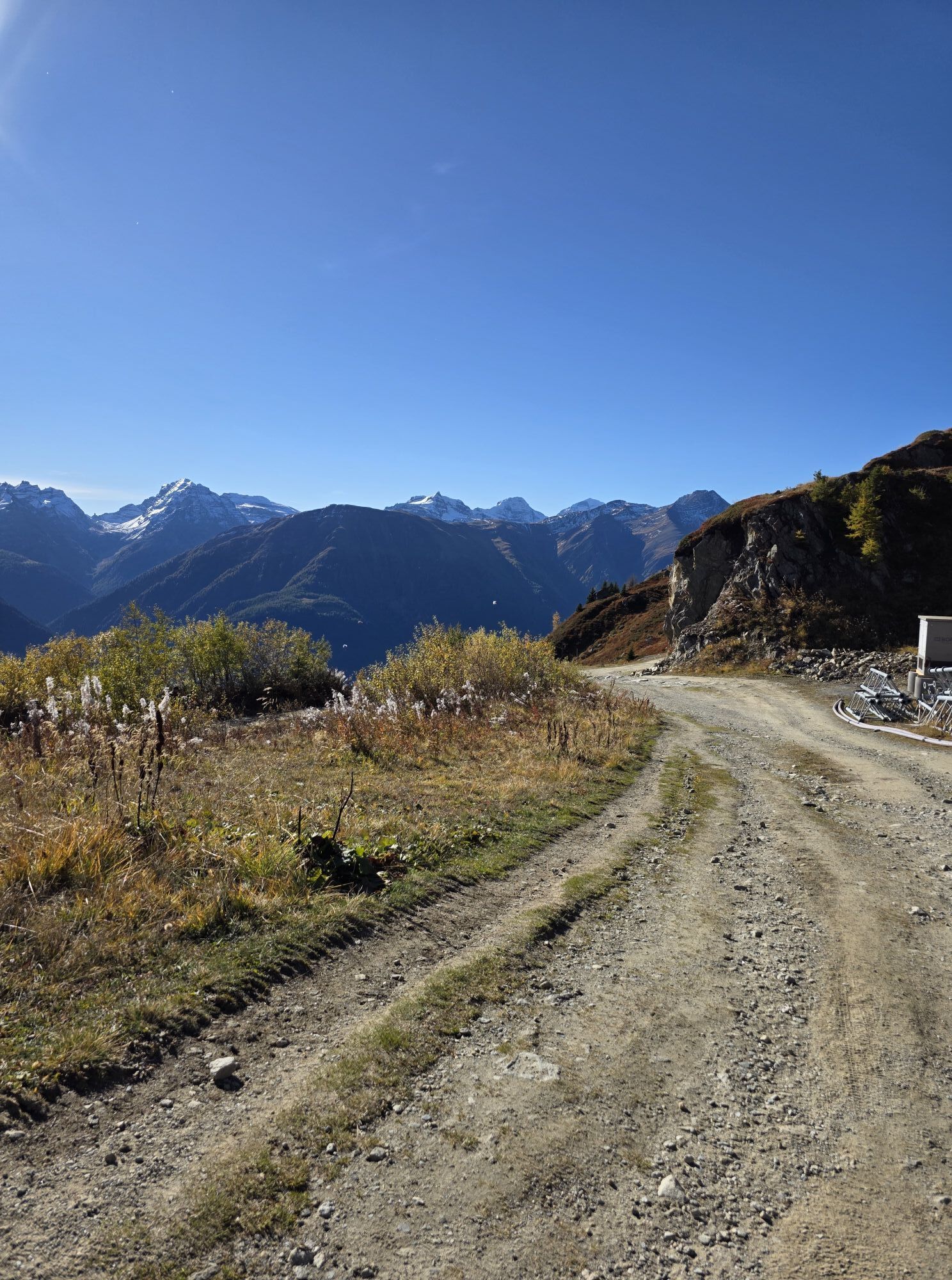
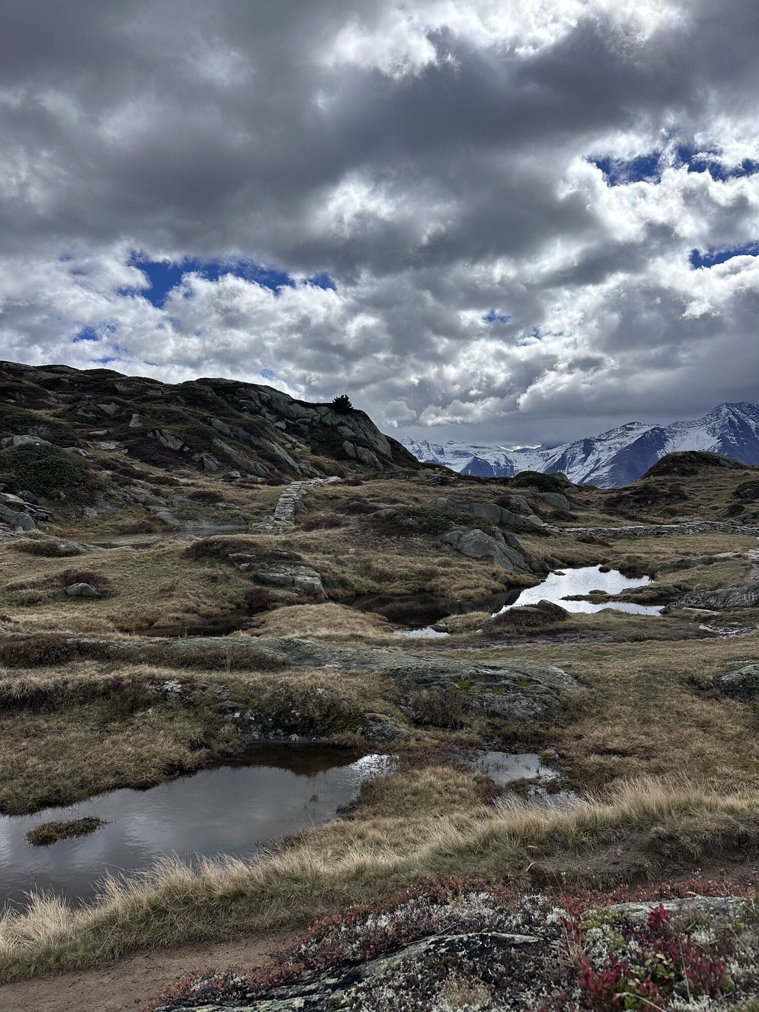
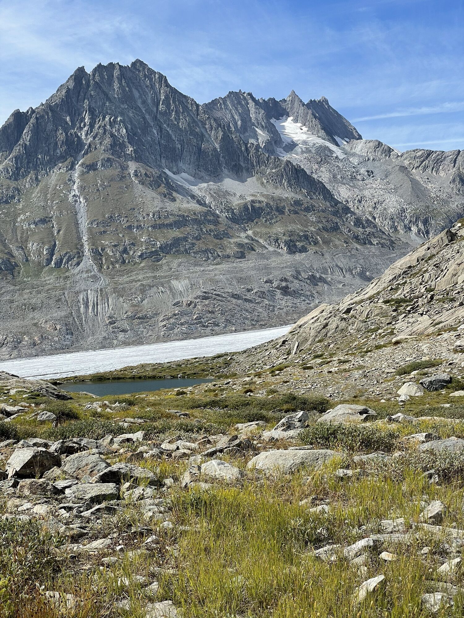
After taking the aerial cableway from Betten valley station to the village of Bettmeralp, you cross the car-free holiday village up to the start of the trail run, which is located at the valley station of the Bettmeralp-Bettmerhorn cable car. The first ascent leads you to Bettmersee and Blausee. It continues up the ridge to Biel and Hohbalm. On the other side of the mountain ridge, follow the Great Aletsch Glacier towards Märjelensee and the Märjelen reservoir. After the Märjelen reservoir, the path passes by Tälligrat, crosses the hilly slope of Unners Tälli and finally, after a last forest section, you reach Bettmeralp again.
Bettmeralp (Bettmerhorn) - Bettmersee - Blausee - Märjelensse - Märjelen reservoir - Unners Tälli - Bettmeralp (Bettmerhorn)
Da
Da
We recommend:
Good running shoes Weather-dependent clothing: always carry a waterproof vest Headwear Sunscreen Water bottle Trail polesUsing the trail paths and information on this website is at your own risk. Conditions on site may cause changes to the route. Valais/Wallis Promotion accepts no responsibility for the accuracy and completeness of the information on this website.
For all trails:
Use only marked trail paths and observe all signs and instructions - for your own safety, to protect grazing animals and out of respect for wildlife. Close gates after passing through. Be considerate towards other path users, plants and animals.For mountain trails:
Bring additional sun protection. UV rays at high altitude can be very strong, even in cloudy weather. Plan your trail carefully: take into account the required fitness level of all participants, weather forecasts and seasonal dependencies. Weather conditions can change very quickly and without warning in the mountains. Appropriate clothing and provisions (food and drink) are very important. In unstable weather, it is better to turn back early. Inform your family about your trail route. Avoid traveling alone if possible. Observe warning signs indicating danger at riverbanks, along watercourses below dams and reservoirs: Water levels can rise quickly and without warning.Betten valley station is located 12 kilometers northeast of Brig on Furkastrasse/Route 19.
Take the train to Brig and the regional train from Bahnhofplatz towards Andermatt to Betten valley station. Change there and take the cable car to Bettmeralp. Timetable is available at www.aletscharena.ch
Paid parking and a parking garage are available at Betten valley station.
Further information about the destination:
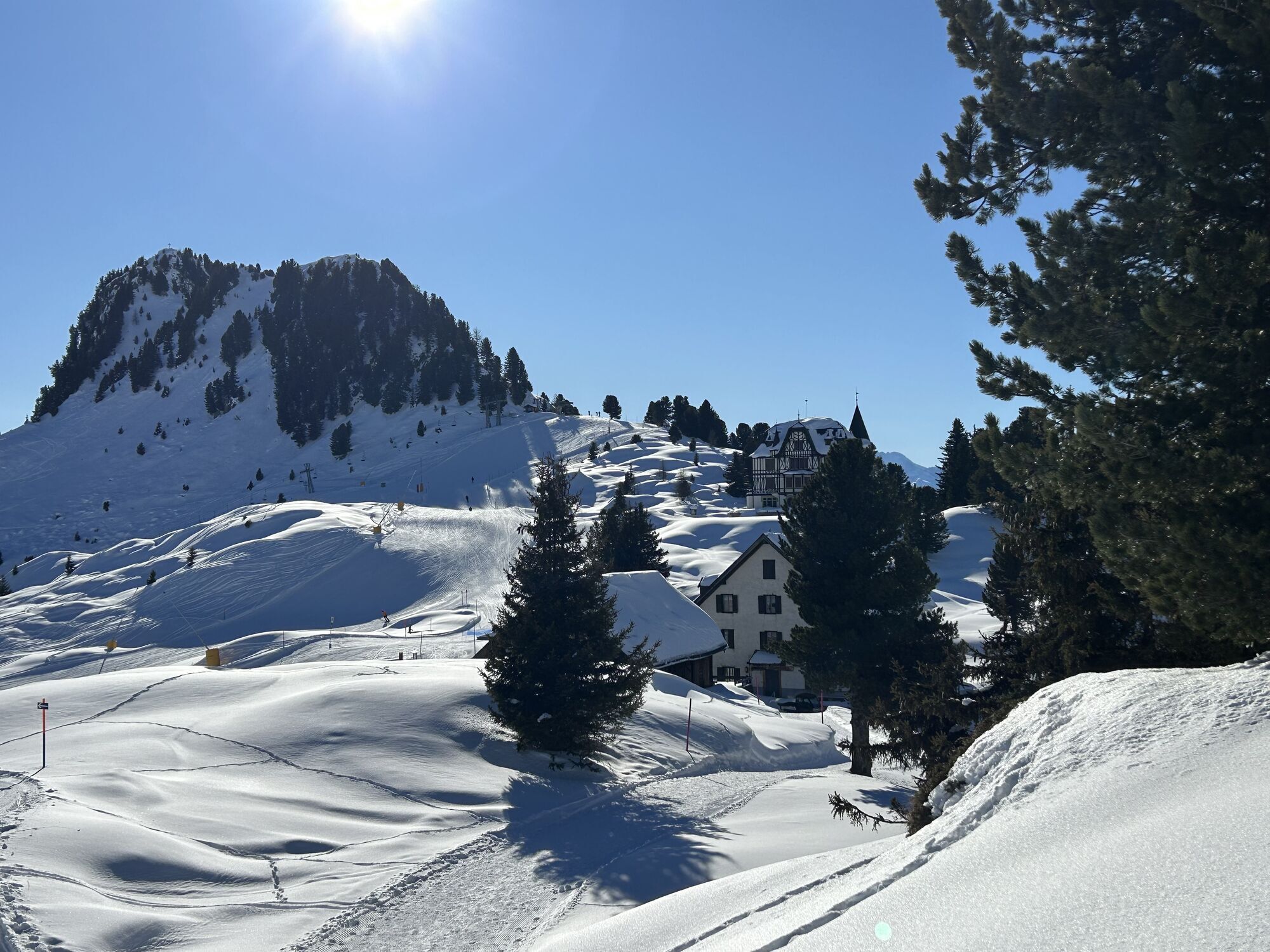
Aletsch ArenaDue to the risk of slipping in the landscape, follow only the marked paths above the glacier.
Spletne kamere s turneje
-
Hohbiel
-
Bettmerhorn Aletsch Gebiet
-
Bettmerhorn
-
Talstation Sesselbahn Bruchegg
-
Blatten / Blattnerhof
-
Bergstation Wurzenbord
-
Bellwald Tourismus
-
Eggishorn
-
Belalp Hexenland
-
Eggishorn
-
Eggishorn
-
Eggishorn
-
Eggishorn
-
Eggishorn
-
Eggishorn
-
Bergstation Wurzenbord
-
Bergstation Wurzenbord
-
Bergstation Wurzenbord
-
Bergstation Wurzenbord
-
Bergstation Wurzenbord
-
Belalp - Feriensiedlung Tschuggen
-
Fiesch
-
Termen
-
Moosfluh Bergstation
-
Moosfluh Bergstation
-
Moosfluh Bergstation
-
Moosfluh Bergstation
-
Moosfluh Bergstation
-
Moosfluh Bergstation
-
Golfclub Riederalp
-
Bellwald Talstation
-
Bellwald Mittelstation Fleschen
-
Fiescheralp - Kühboden
-
Aletschbord
Priljubljeni izleti v okolici
-
4.0
Panoramaweg über den Aletschgletscher
srednjaPohodništvo 17.7 km -
UNESCO Höhenweg
Pohodništvo 3.70 km -
5.0
Rundwanderung Anenhütte
srednjaPohodništvo 10.2 km -
5.0
Aletsch Sightseeing
srednjaZimsko pohodništvo 15.5 km -
4.0
NATICHERBERG CIRCULAR TRAIL
srednjaPohodništvo 12.1 km -
4.0
Eggishorn via ferrata
srednjaVia ferrata 1.39 km -
3.0
Lötschenlücke
srednjaSmučarska tura 26.2 km -
Binntal, Twingischlucht- Binn nach Ernen
srednjaPohodništvo 10.6 km -
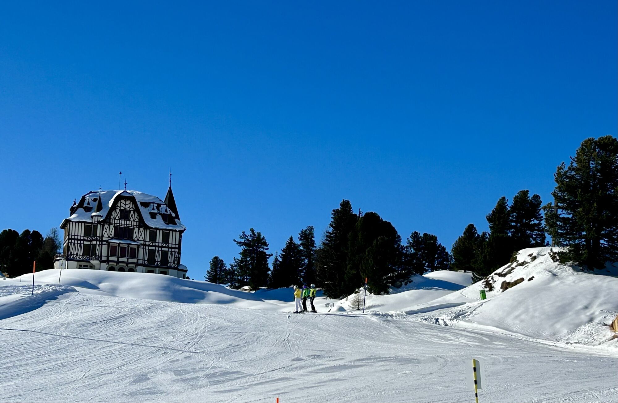
Villa Cassel - Hohfluh - Blausee - Moosfluh - Moränenweg - Villa Cassel
srednjaPohodništvo 8.49 km -
OLD MULE TRAIL NATERS - BIRGISCH
srednjaPohodništvo 6.50 km

Pohodništvo in sledenje


Ne zamudite ponudb in navdiha za naslednje počitnice
Vaš e-poštni naslov je bil dodan na poštni seznam.