







Sackhorn
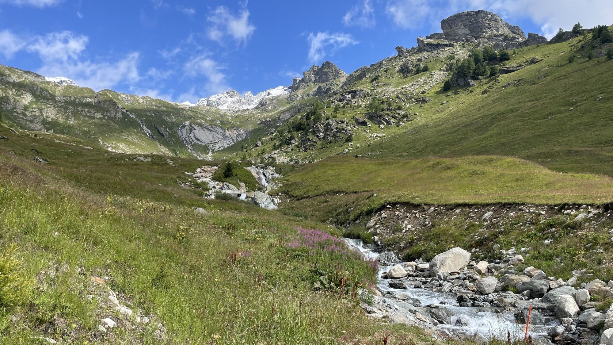
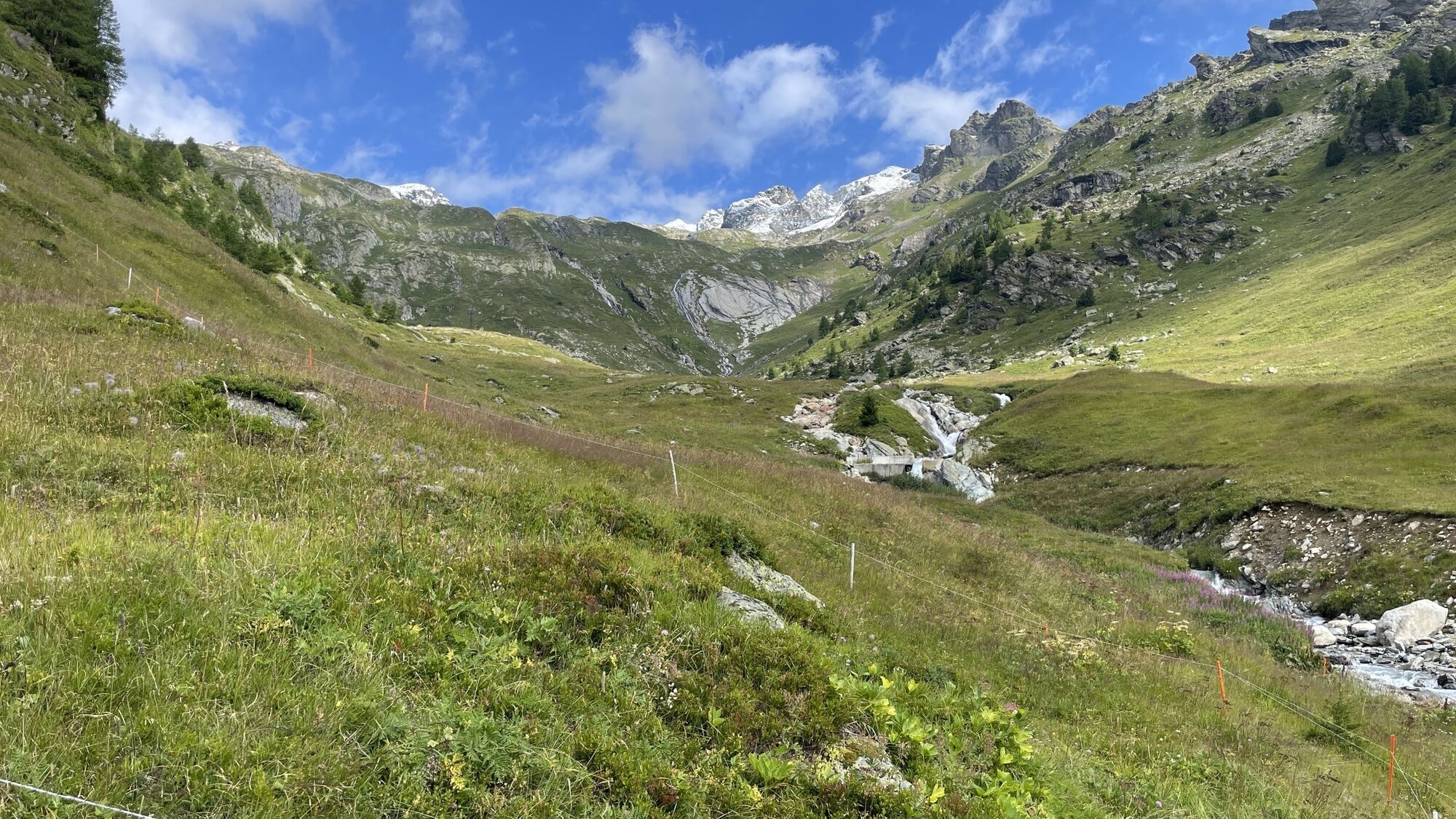
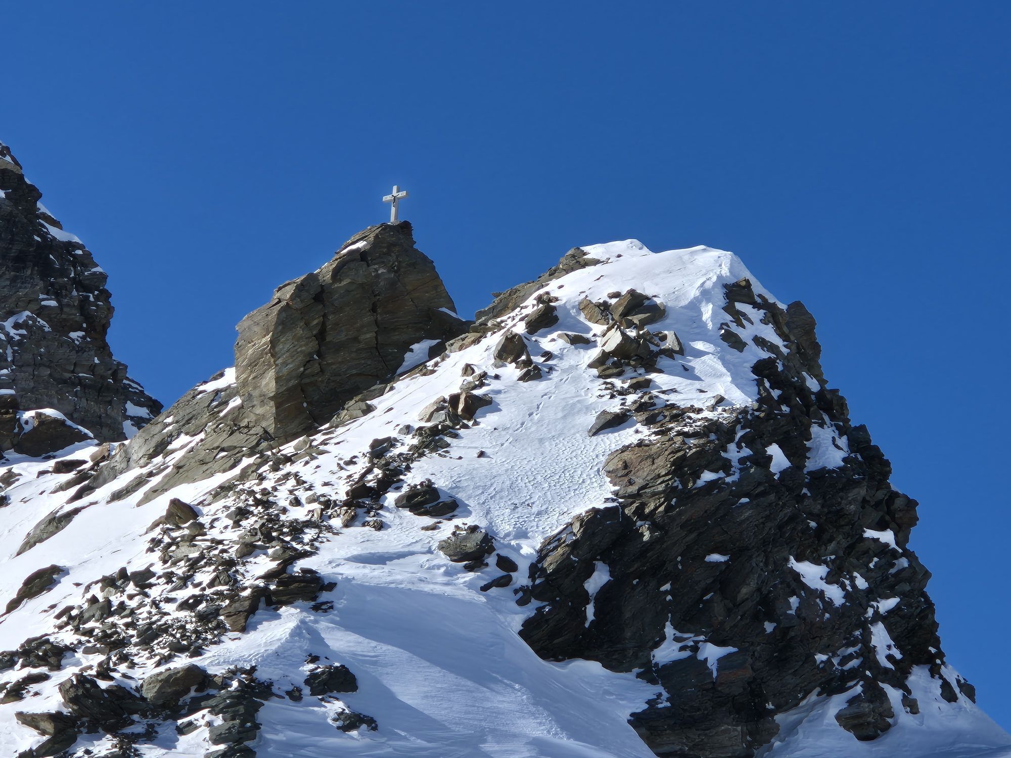
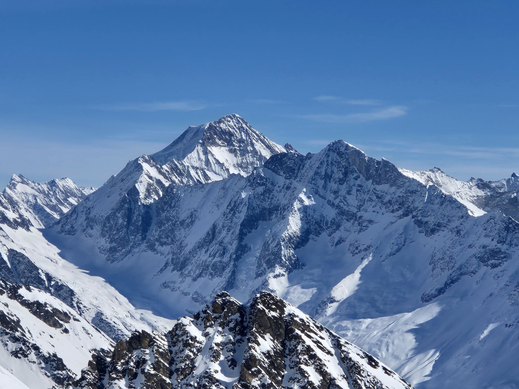
The Sackhorn lies on the cantonal border of Bern-Valais between the Gasterental valley in the north and the Lötschental valley in the south. The summit is on a long ridge which separates the two valleys....
The Sackhorn lies on the cantonal border of Bern-Valais between the Gasterental valley in the north and the Lötschental valley in the south. The summit is on a long ridge which separates the two valleys. In the southwest, the Hockenhorn joins after the Märbiglücke, in the northeast the Sackhorn is separated from the Elwertätsch by the Tennbach gap. Towards the Gasterental, the mountain falls off in rugged rock walls pierced by small hanging glaciers.

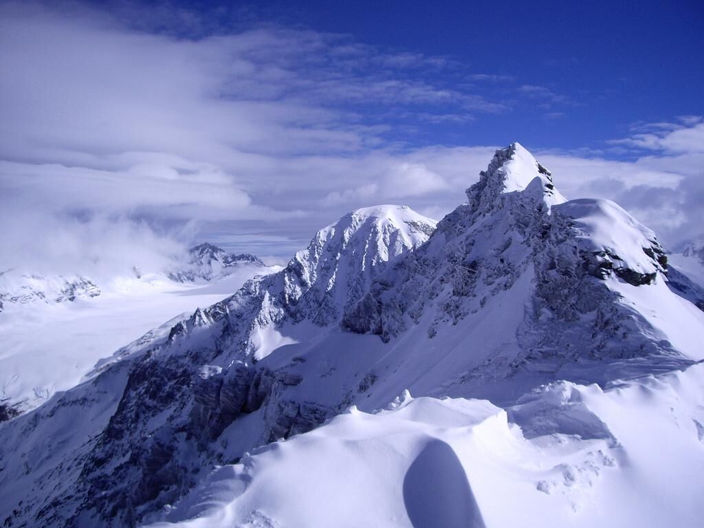

From the Hockenhorngrat station, you ski on the piste to the junction of the Milibach piste. After the traverse, you climb gently in a northeast direction to below the rock spur which descends from point 2,919 on the 1:25,000 map. Alternatively, you can reach the rock spur from the Hockenhorngrat summit station via a descent of over 350 vertical meters on the ski slope. Afterwards, the route climbs more steeply into the saddle north of point 2,911. Continue northeast onto the Tennbach glacier into the couloir, which leads east of the Sackhorn onto the ridge. Depending on snow conditions, the last meters are on foot over some rocks into the saddle. On the ridge, turn left up a steep slope to the flattening summit ridge.
Descent possibilities
The direct descent from the summit via the ascent route is possible with enough snow and safe conditions but is rated difficult with 43° on 40 vertical meters above the saddle and about 40° in the upper part of the couloir. For further descent below the Tennbach glacier, there are various interesting options:
Descent west of the Stieltihorn (see the marked route 329b on the Jungfrau ski tour map 264S) Descent through the Spalihorn gorge (see the marked route 329d on the Jungfrau ski tour map 264S)
Da
Da
A complete glacier equipment is mandatory. Depending on snow conditions in the couloir and on the summit slope, an ice axe and crampons are recommended.
We recommend a certified mountain guide for every ski tour
Plan every tour carefully
Ensure suitable and complete equipment
Never go on a tour alone
Inform relatives, acquaintances, the hut warden, or hotel porter about your tour. Report back when you arrive at your destination
Constantly observe the weather development
Follow the principle: turn back in case of doubt!
From Goppenstein, drive into the Lötschental, past the villages of Ferden and Kippel to Wiler at the valley station of the cable car. Take the cable car up to Lauchernalp and then continue with the mountain railways to the Hockenhorngrat summit station.
From Gampel-Steg or Goppenstein, the PostBus takes you to Wiler. PostBus stop "Wiler, Seilbahn". Take the cable car up to Lauchernalp and then continue with mountain railways up to the Hockenhorngrat at 3100m.
You can park your car in the parking lot or in the parking garage at the valley station of the cable car (paid).
For this tour, we recommend our mountain guides in the Lötschental:
Jaggy Benedikt Tel. +41 (0)79 774 83 20 Fleck Lutz Tel. +41 (0)79 629 47 33
Jungfrau ski tour map 264S - The 1:50,000 scale map from the national topography shows the ski tours in the Lötschental, which are described in more detail in the SAC ski tour guide. Available at the Lötschental info point in Wiler or online at www.loetschental.ch/webshop
Spletne kamere s turneje
-
Bergstation Luftseilbahn Wiler-Lauchernalp
-
Stafel
-
Stafel
-
Stafel
-
Stafel
-
Bergstation Luftseilbahn Wiler-Lauchernalp
-
Bergstation Luftseilbahn Wiler-Lauchernalp
-
Bergstation Luftseilbahn Wiler-Lauchernalp
-
Bergstation Luftseilbahn Wiler-Lauchernalp
-
Bergstation Luftseilbahn Wiler-Lauchernalp
-
Bergstation Luftseilbahn Wiler-Lauchernalp
-
Hockenhorngrat
-
Hockenhorngrat
-
Hockenhorngrat
-
Hockenhorngrat
-
Hockenhorngrat
-
Hockenhorngrat
-
Stafel
-
Wiler Lötschental
Pridobite vpogled
Vedno v živo na mestu z več kot 9.500 spletnimi kamerami. bergfex Kot uporabnik Pro si lahko zdaj ogledate ustrezne spletne kamere za številne izlete v aplikaciji izleti iz. Tako si lahko neposredno ogledate trenutne razmere.
Priljubljeni izleti v okolici
-
4.4
Kandersteg - Oeschinensee - Blüemlisalphütte
težkoPohodništvo 11.8 km -
4.0
Rundwanderung Lötschenpasshütte
srednjaPohodništvo 12.2 km -
4.8
Lötschentaler Höhenweg
svetlobaPohodništvo 9.17 km -
4.8
Oeschinensee
svetlobaPohodništvo 15.2 km -
5.0
Lauchernalp-Lötschenpass-Selden
težkoPohodništvo 12.0 km -
4.2
Oeshinensee
svetlobaGorski pohodništvo 16.4 km -
5.0
Rundwanderung Anenhütte
srednjaPohodništvo 10.2 km -
5.0
Restipass
Pohodništvo 14.5 km -
4.4
Berghaus Oeschinensee - Berghotel Oeschinensee - Reformierte Kirche - Kandersteg
svetlobaPohodništvo v daljavo 4.64 km -
4.0
Gemmipass - Lämmerenhütte - Rote Totz Lücke - Daubensee - Gemmipass
srednjaPohodništvo 13.7 km
Pohodništvo in sledenje


Ne zamudite ponudb in navdiha za naslednje počitnice
Vaš e-poštni naslov je bil dodan na poštni seznam.





