






Fleschen Trail

Plenty of sunshine, over 400 meters of positive and negative elevation, varied landscape, and lots of panoramic views. These are the characteristics of the Fleschen Trail. The snowshoe hike from the highest...
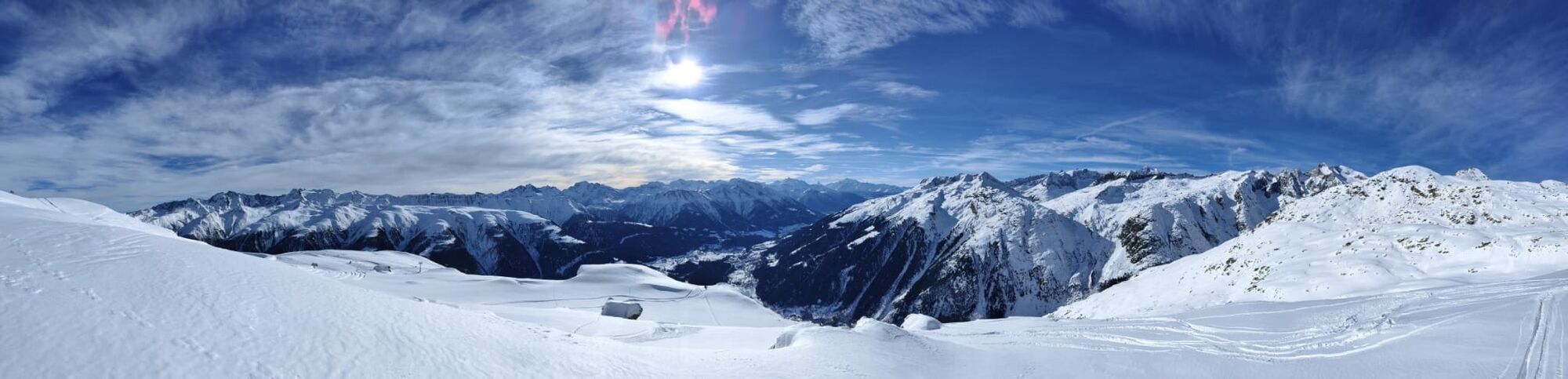
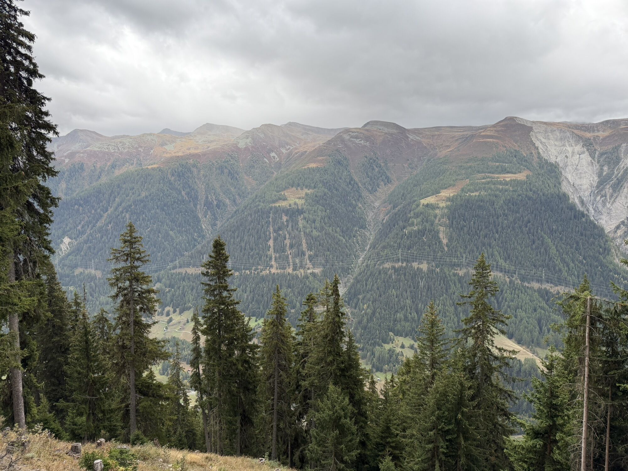
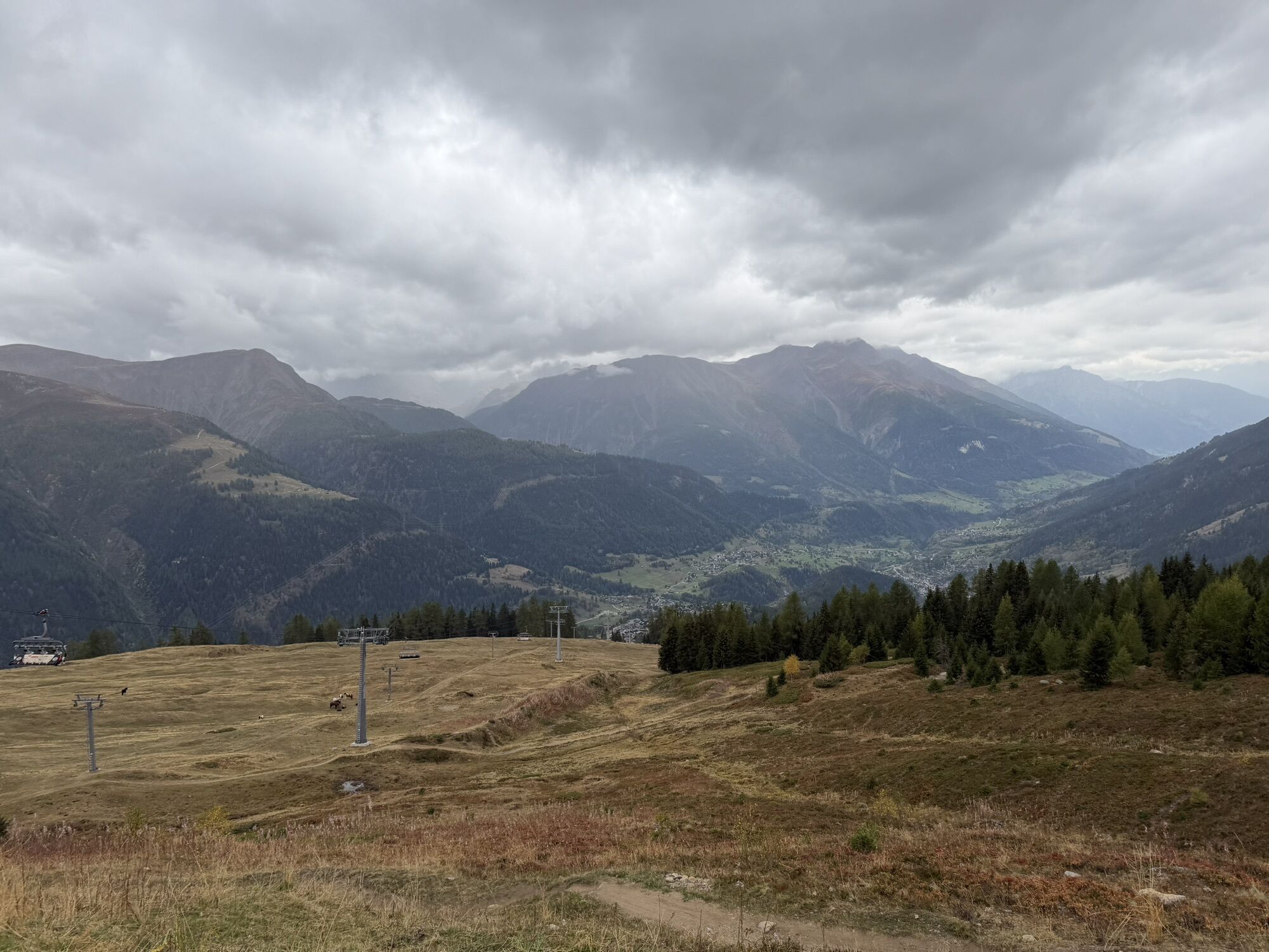
Plenty of sunshine, over 400 meters of positive and negative elevation, varied landscape, and lots of panoramic views. These are the characteristics of the Fleschen Trail. The snowshoe hike from the highest Goms community Bellwald to Fleschen and back is athletic and has a lot to offer. The ascent leads through snowy larch forests. At the beginning still leisurely, the upper section really challenges the leg muscles. Once at the top, you can indulge yourself on the magnificent sun terrace of the Fleschen mountain restaurant. At the same time, you enjoy the unique view of the Valais peaks, including the Mischabel range and the Matterhorn.

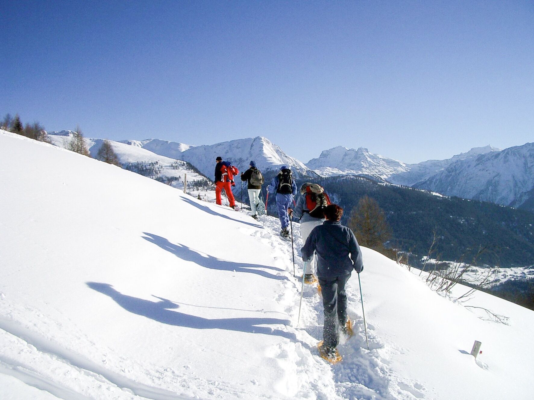
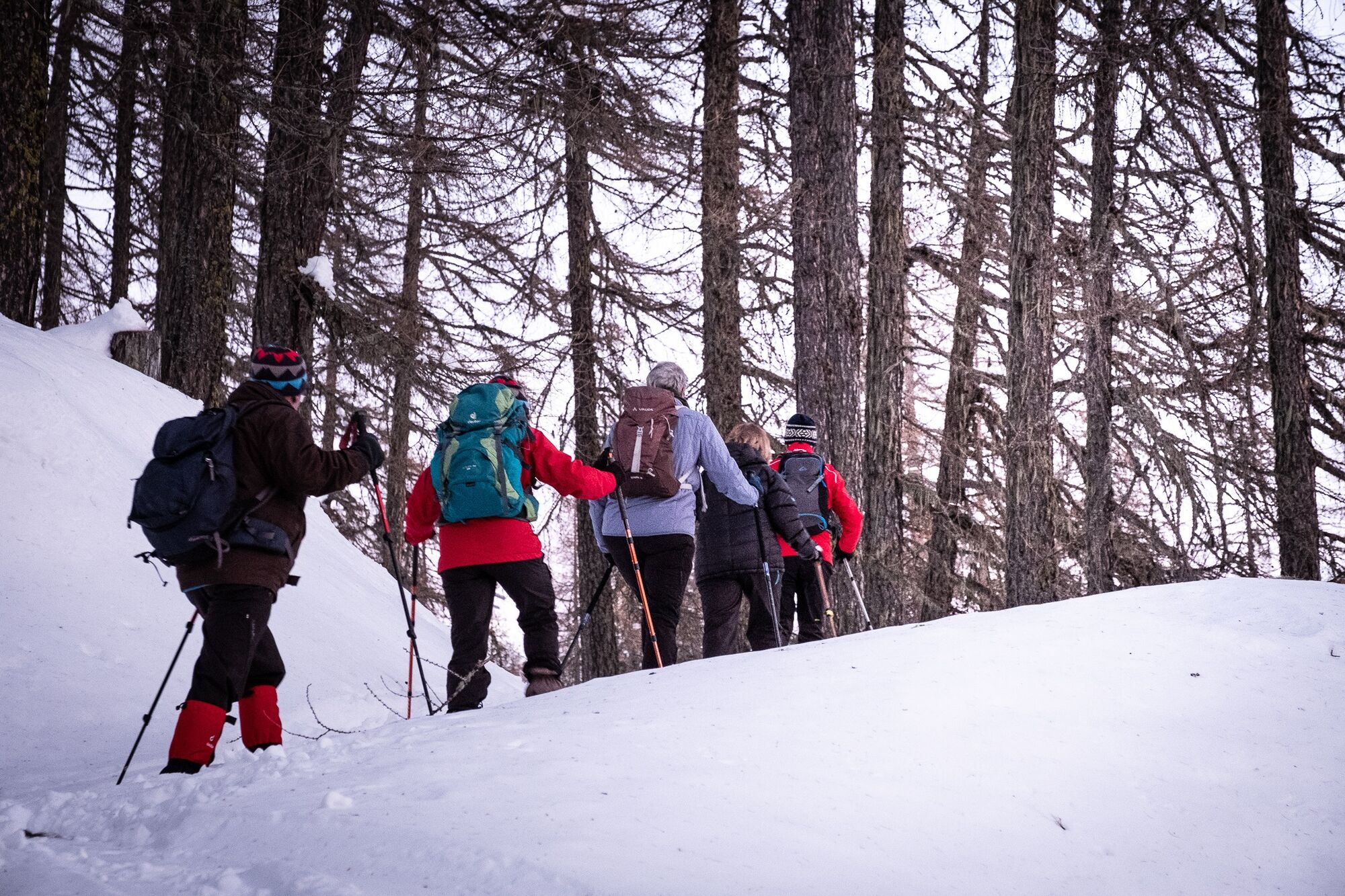
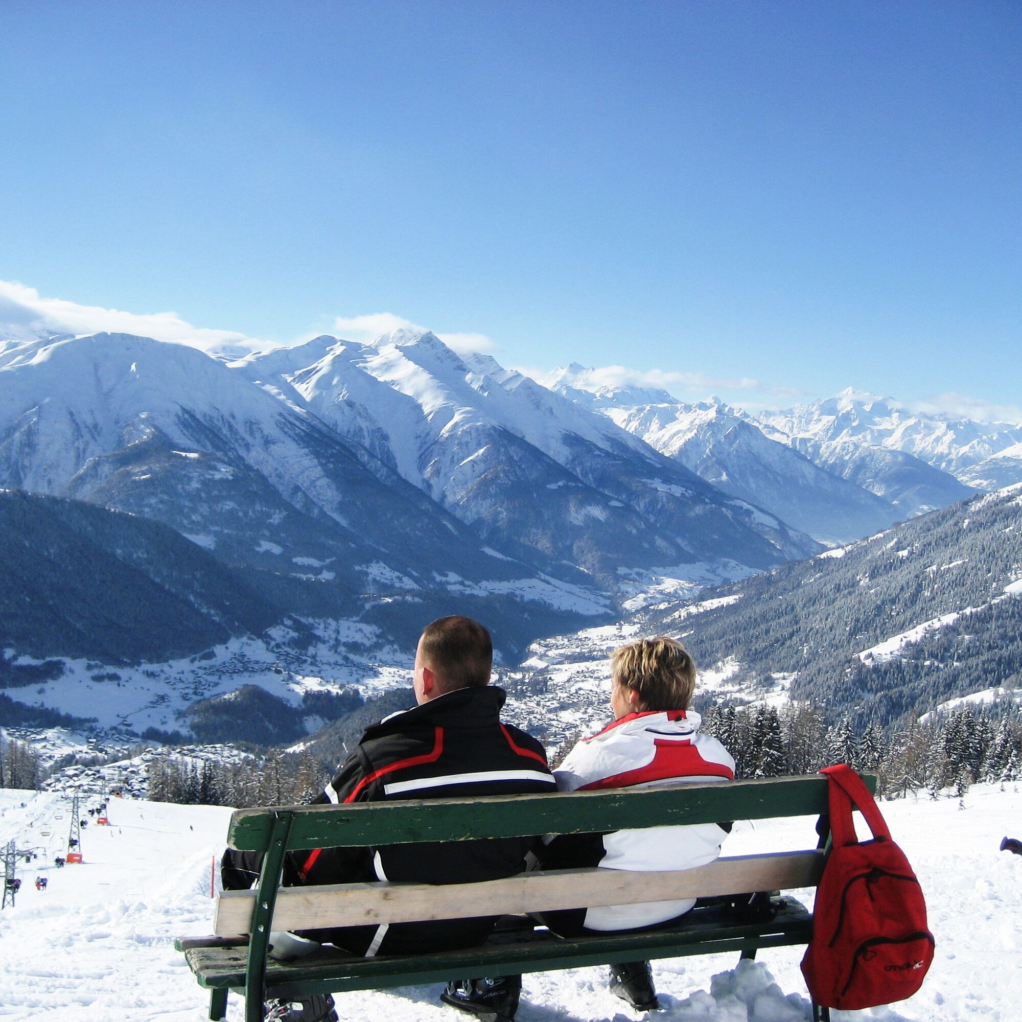

The Fleschen Trail begins at the valley station of the Richinen chairlift in Bellwald. Right at the start, there is a gentle ascent past charming chalets. Then the path leads into the forest. Once you reach the tree line, it's worth pausing for a moment to marvel at the magnificent view over the Rhone Valley and the snow-covered peaks of the Binntal. Now in open terrain, you trudge through the snowy landscape to the Fleschen mountain restaurant. After the break to refuel, the snowshoe route descends over southwest-facing slopes, always with the white-capped mountain crowns of the UNESCO World Heritage Swiss Alps Jungfrau-Aletsch in sight.
Use of the snowshoe routes and information on this website is at your own risk. On-site conditions may cause changes to the route. Valais/Wallis Promotion assumes no responsibility for the accuracy and completeness of the information on this website.
Carry a map with you. Download the complete description of the hiking trail with a large-scale map by clicking on "Print" at the top right of the page.
Use only marked trails and observe all signs and instructions – for your own safety, to protect grazing animals, and out of respect for wildlife.
Behave considerately towards other trail users and the landscape. Take your waste and that of others with you.
Bring additional sun protection. UV rays at high altitudes can be very strong, especially in winter, even on cloudy days.
Plan your hike carefully. Consider the required fitness level of all participants as well as weather forecasts and seasonal dependencies.
Inform third parties about the route and, if possible, never go alone.
Weather conditions can change very quickly and without warning in the mountains. Appropriate clothing and sufficient provisions and drinks are very important. In unstable weather, it is better to turn back early.
Do not go onto glaciers without a mountain guide.
Observe warning signs that indicate dangers, especially avalanche hazards.
A9 motorway towards Brig. Continue towards Goms until the Bellwald junction.
Accessible by train and bus. From Brig station with the Matterhorn Gotthard Bahn to Fürgangen Bellwald
Free parking at the Basper mountain station.
View this route on SwitzerlandMobility : No. 304 Fleschen Trail
Those who enjoy the silence on the forest section and allow themselves a moment of peace may even catch a glimpse of the local fauna.
Spletne kamere s turneje

Priljubljeni izleti v okolici
- 5.0
BELALP - SPARRHORN
težkoPohodništvo 11.2 km - 4.9
SUSPENSION BRIDGE RIEDERALP - BELALP
srednjaPohodništvo 11.5 km - 5.0
9 lake-trail
težkoPohodništvo 17.3 km - 4.5
Panoramaweg über den Aletschgletscher
srednjaPohodništvo 17.7 km UNESCO Höhenweg
Pohodništvo 3.70 km- 4.0
Eggishorn via ferrata
srednjaVia ferrata 1.39 km - 5.0
Aletsch Sightseeing
srednjaZimsko pohodništvo 15.5 km - 5.0
VIA FERRATA "ALETSCH"
srednjaVia ferrata 3.40 km - 4.5
Hike to the Glacier View in Bellwald
srednjaPohodništvo 8.86 km - 5.0
Binntal, Twingischlucht- Binn nach Ernen
srednjaPohodništvo 10.6 km
Pohodništvo in sledenje


Ne zamudite ponudb in navdiha za naslednje počitnice
Vaš e-poštni naslov je bil dodan na poštni seznam.





