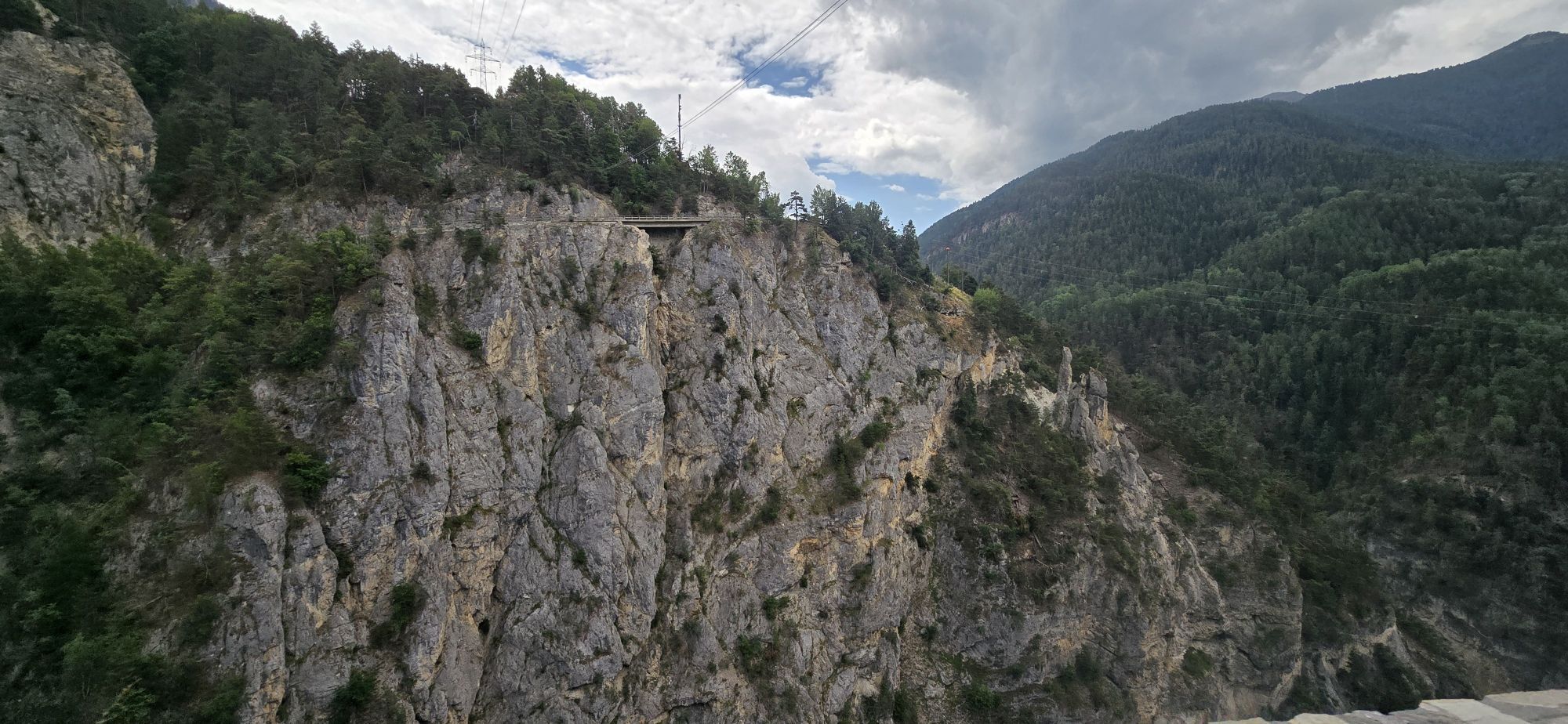
Gampel-Steg - Oratoire de Notre-Dame des Pontis - Kirche St. Johann Baptist - Kirche
težko
Navigacija po spletni strani
Navigacija po spletni strani
Pridobite to turo v svoj mobilni telefon
Gampel-Steg - Oratoire de Notre-Dame des Pontis - Kirche St. Johann Baptist - Kirche
težko
Kolesarjenje
91.66
km
Skenirajte kodo QR in začnite navigacijo v aplikaciji bergfex.

Pohodništvo in sledenje


Gampel-Steg - Oratoire de Notre-Dame des Pontis - Kirche St. Johann Baptist - Kirche
težko
Razdalja
91.66
km
Trajanje
07:48
h
Ascent
2,029
hm
Morska gladina
535 -
1,673
m
Prenos skladbe
Gampel-Steg - Oratoire de Notre-Dame des Pontis - Kirche St. Johann Baptist - Kirche
težko
Kolesarjenje
91.66
km
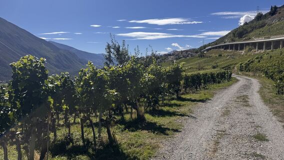
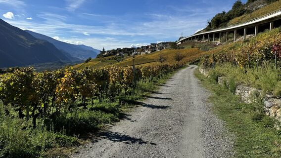
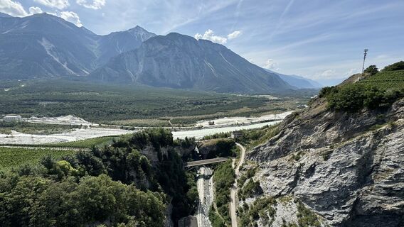
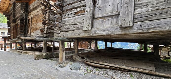
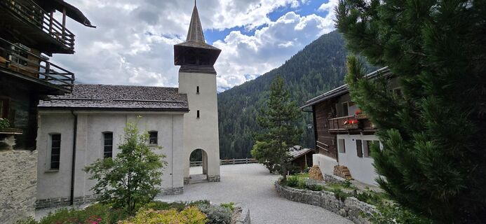
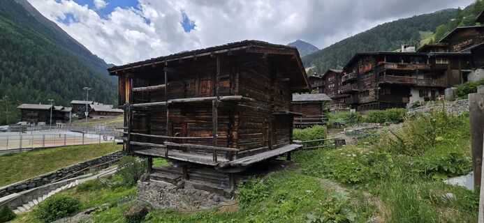
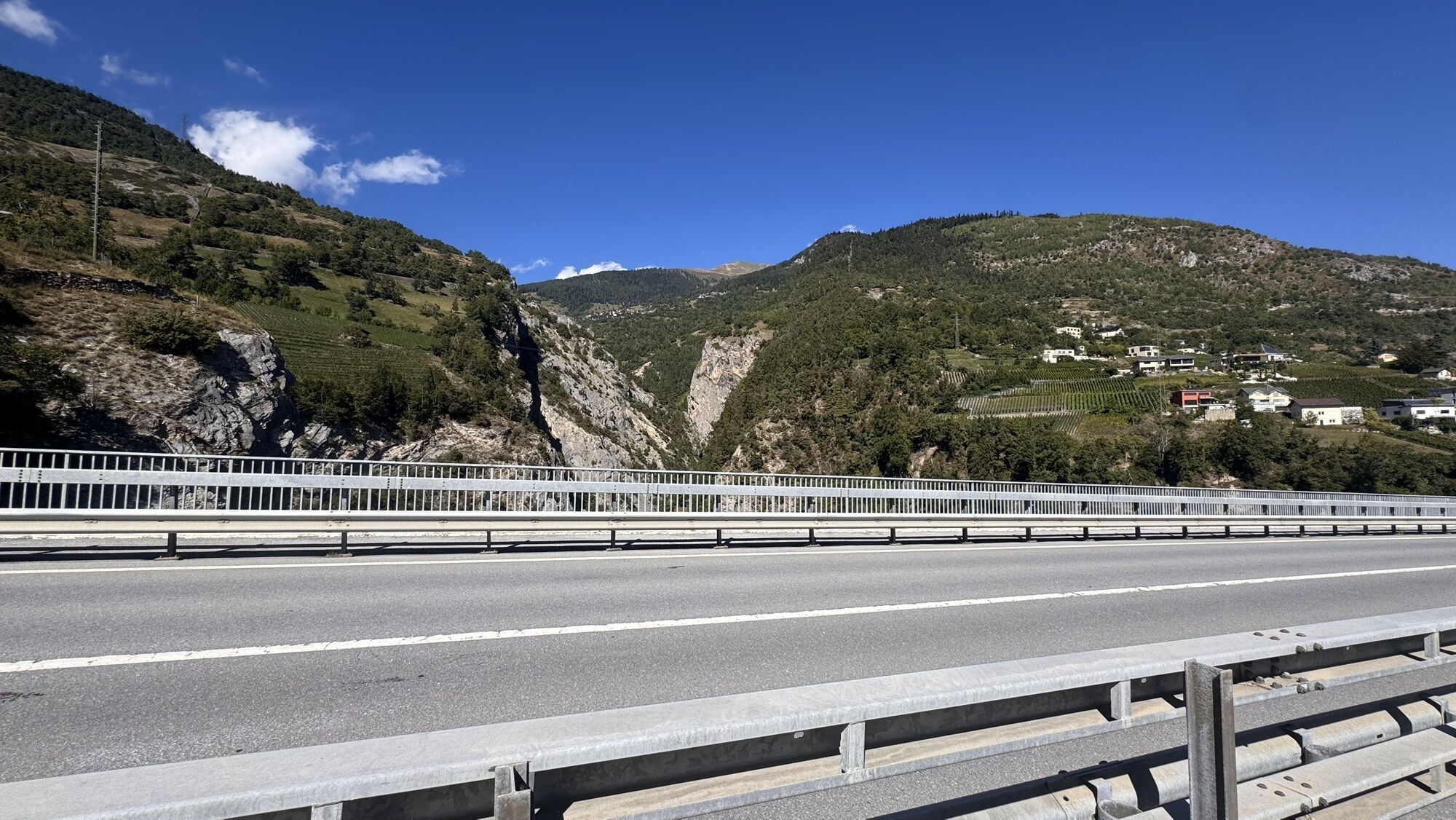
Fotografije naših uporabnikov
-

 © peter_oeUstvarjeno na 03.09.2025
 -
 © peter_oeUstvarjeno na 03.09.2025
 -
 © peter_oeUstvarjeno na 25.10.2024
 -
 © peter_oeUstvarjeno na 25.10.2024
 -
 © peter_oeUstvarjeno na 25.10.2024
 -
 © peter_oeUstvarjeno na 31.08.2024
 -
 © peter_oeUstvarjeno na 31.08.2024
 -
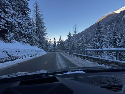
 © B P 8Ustvarjeno na 11.01.2026
 -

 © ZèéUstvarjeno na 13.07.2025
 -
 © ZèéUstvarjeno na 13.07.2025
 -
 © ZèéUstvarjeno na 13.07.2025
 -
 © ZèéUstvarjeno na 13.07.2025
 -
 © ZèéUstvarjeno na 13.07.2025
 -
 © ZèéUstvarjeno na 13.07.2025
 -
 © ZèéUstvarjeno na 13.07.2025

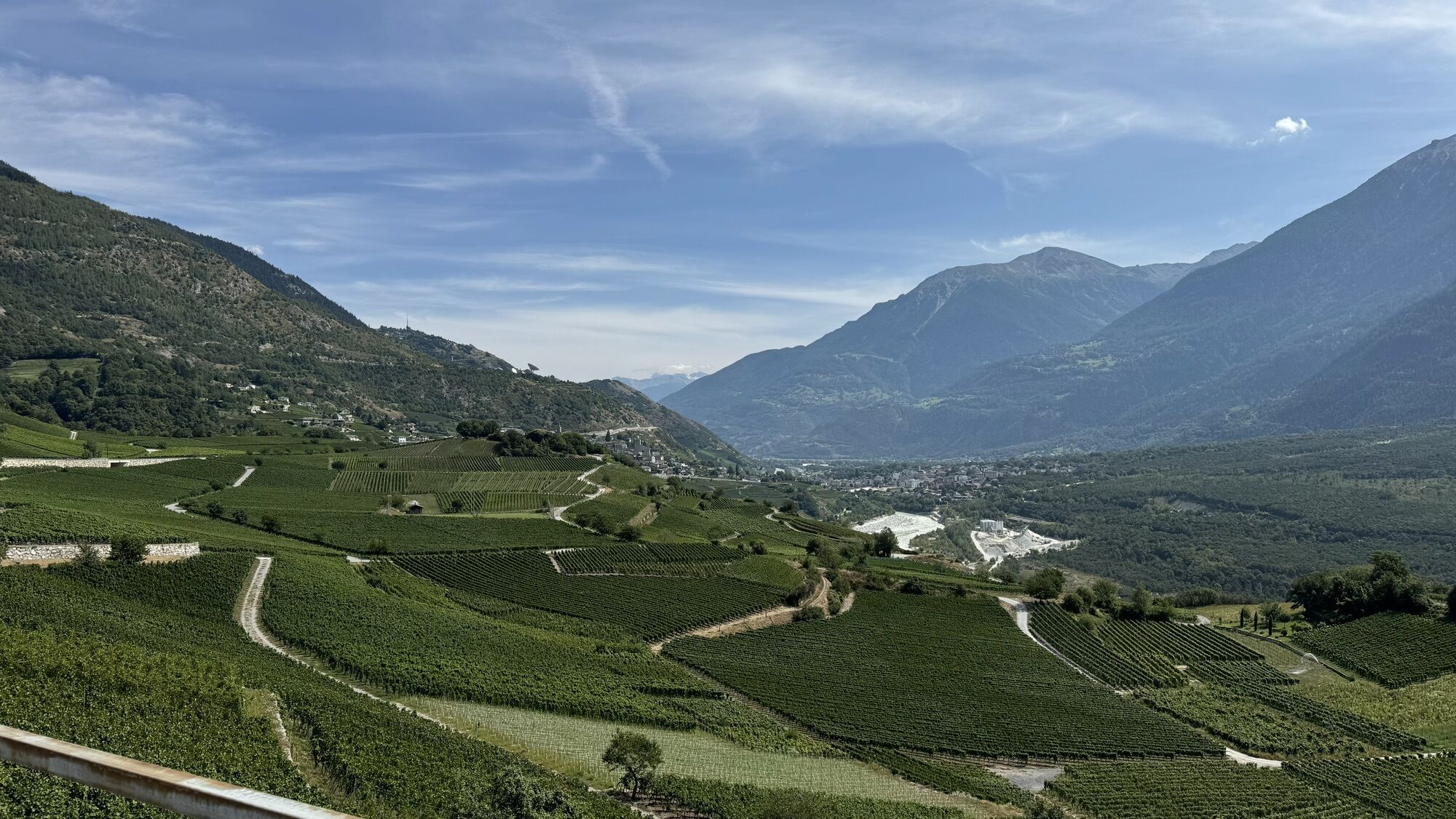


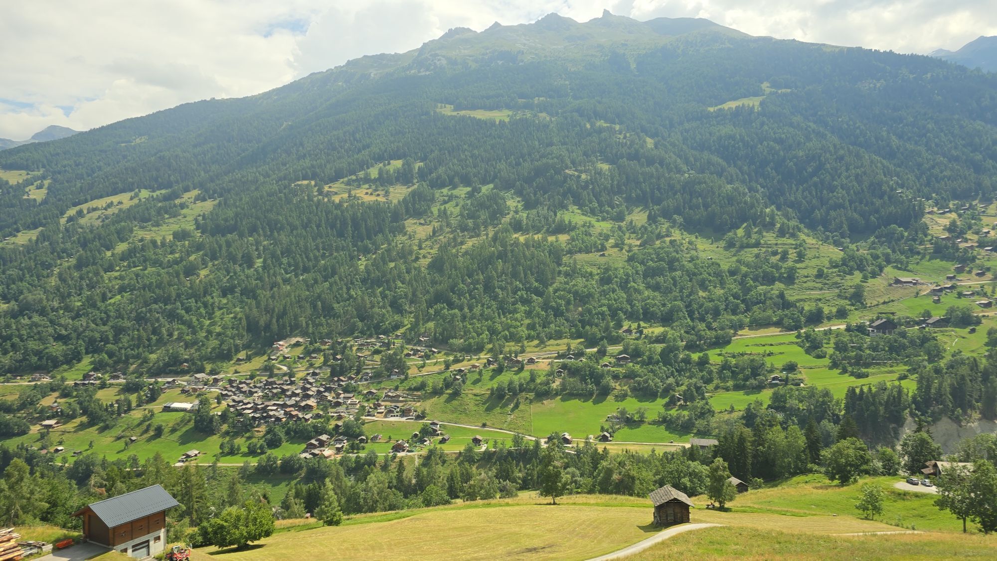
Pot
Sierre
(533 m)
Mesto
18.7 km
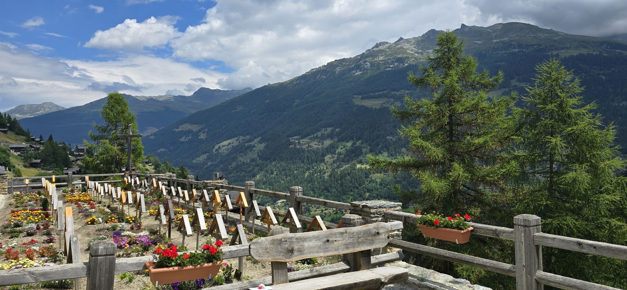
Oratoire de Notre-Dame des Pontis
(1,053 m)
Kraj čaščenja
25.0 km
St-Jean VS
(1,318 m)
Vas
32.7 km
Saint Théodule
(1,572 m)
Kraj čaščenja
50.1 km
Oratoire de Notre-Dame des Pontis
(1,053 m)
Kraj čaščenja
62.3 km
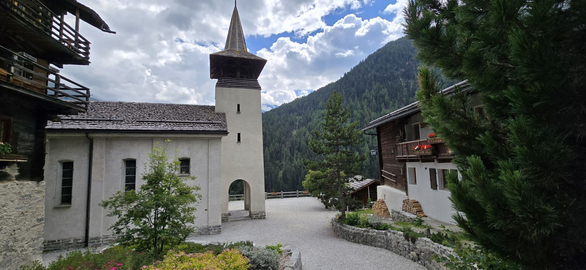
Kirche St. Johann Baptist
(583 m)
Kraj čaščenja
74.1 km
Kirche
(750 m)
Kraj čaščenja
80.3 km
Pot
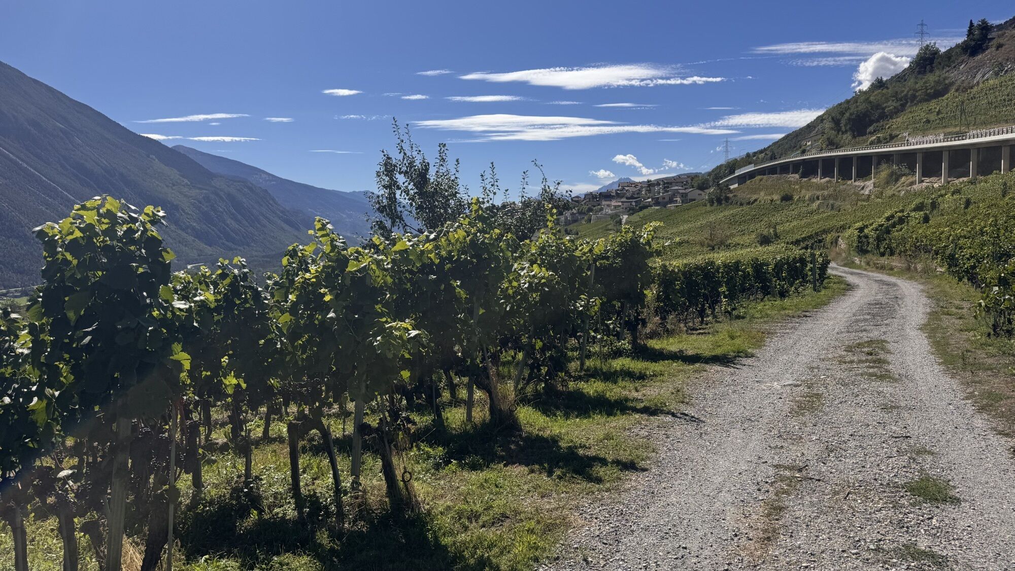
Gampel-Steg - Oratoire de Notre-Dame des Pontis - Kirche St. Johann Baptist - Kirche
težko
Kolesarjenje
91.66
km
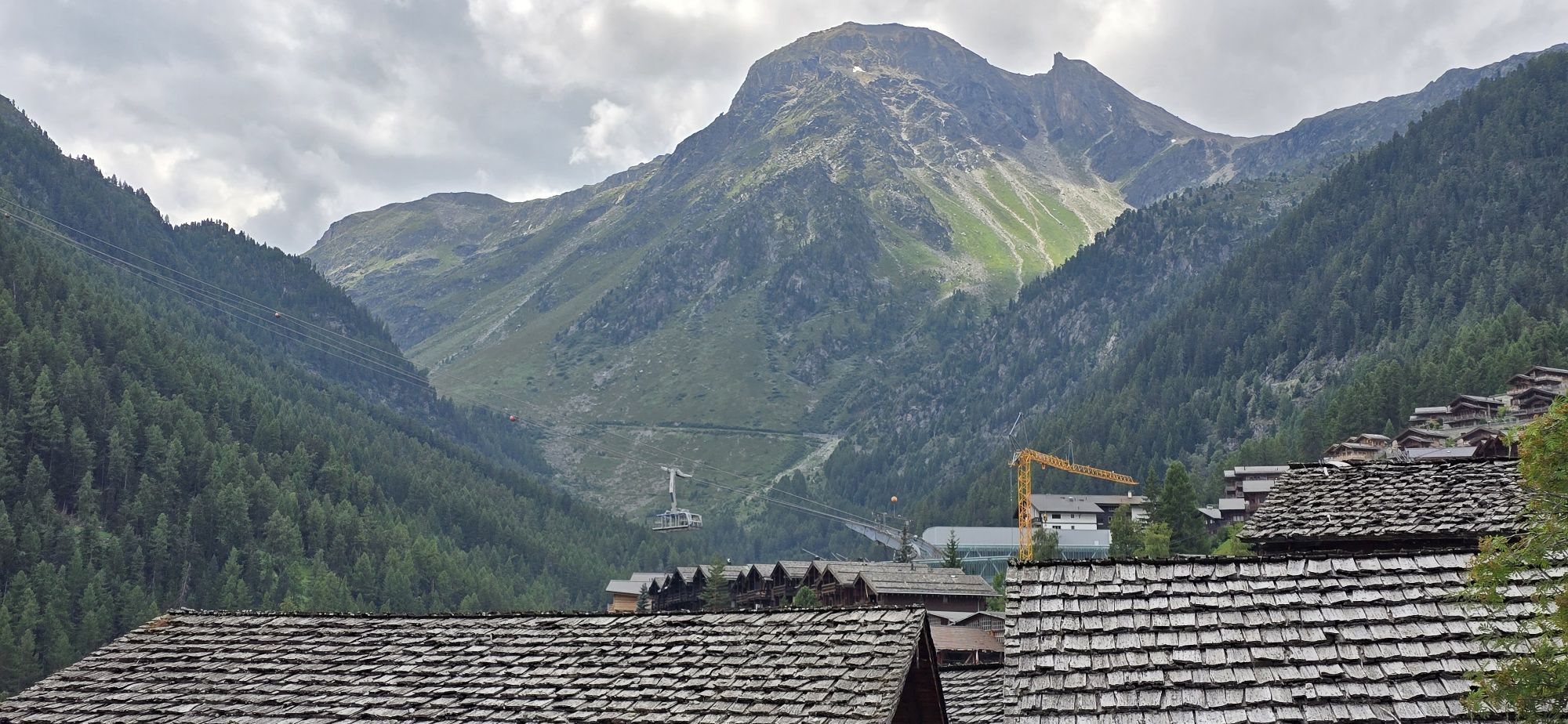
Gampel-Steg
(632 m)
Železniška postaja
0.0 km
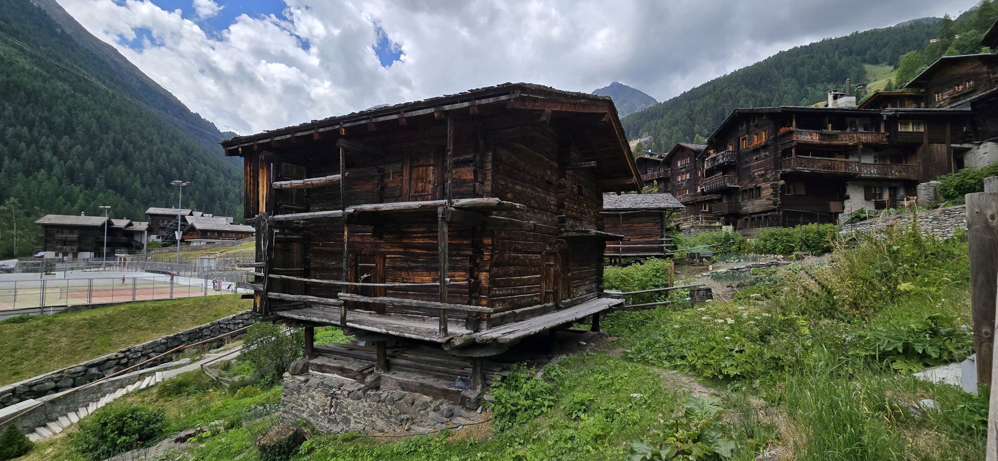
Gampilgaar (Niedergesteln)
(632 m)
Poravnava
0.2 km
Getwing
(610 m)
Vas
4.0 km
Susten
(630 m)
Vas
9.7 km
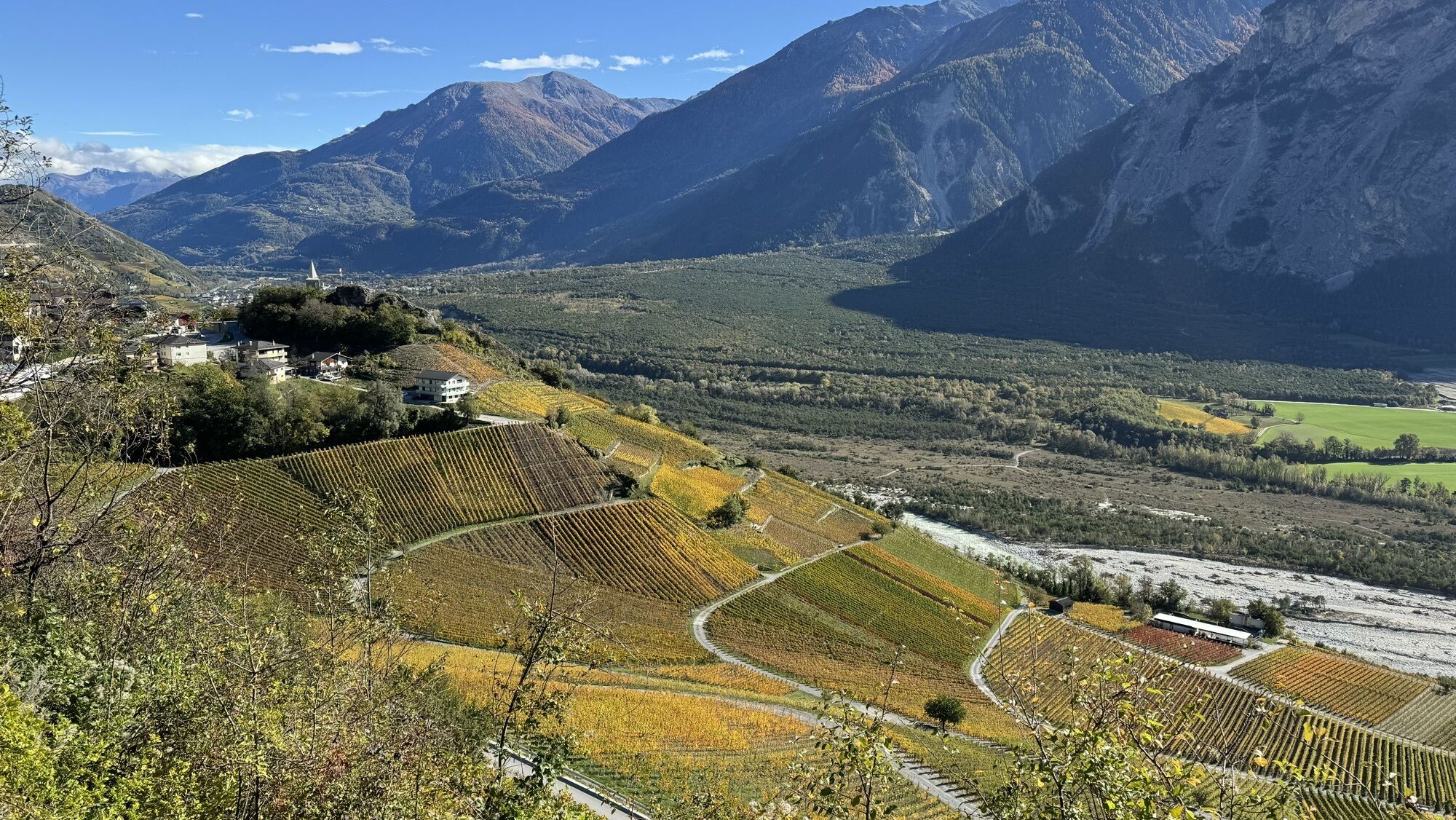
Sierre
(533 m)
Mesto
18.7 km
Niouc
(885 m)
Vas
21.8 km
Plat des Pontis
(950 m)
Koridor/teren
23.0 km
Creux des Pontis
(961 m)
Koridor/teren
23.7 km
Relais des Pontis
(1,005 m)
Restavracija
24.3 km
Oratoire de Notre-Dame des Pontis
(1,053 m)
Kraj čaščenja
25.0 km
Vissoie
(1,204 m)
Vas
30.2 km
Café Restaurant des Alpes
(1,205 m)
Restavracija
30.2 km
Mayoux
(1,190 m)
Vas
30.9 km
Les Morands
(1,258 m)
Poravnava
30.9 km
La Combaz
(1,289 m)
Poravnava
31.2 km
Lozier
(1,294 m)
Soseska
31.4 km
Cuimey
(1,280 m)
Poravnava
31.7 km
Les Effinecs
(1,347 m)
Soseska
32.7 km
St-Jean VS
(1,318 m)
Vas
32.7 km
Le Cholaic
(1,314 m)
Restavracija
33.2 km
Mission
(1,310 m)
Vas
33.4 km
Ayer
(1,476 m)
Vas
35.4 km
Qi-Lin
(1,455 m)
Restavracija
35.5 km
Mottec
(1,559 m)
Poravnava
39.2 km
Pralong
(1,574 m)
Poravnava
40.1 km
Vernec
(1,586 m)
Poravnava
40.2 km
Zinal
(1,675 m)
Vas
41.6 km
Le Bouillet
(1,623 m)
Poravnava
42.5 km
Vernec
(1,586 m)
Poravnava
42.9 km
Pralong
(1,574 m)
Poravnava
43.0 km
Mottec
(1,559 m)
Poravnava
44.0 km
Grimentz
(1,594 m)
Postaja gondole
49.6 km
Saint Théodule
(1,572 m)
Kraj čaščenja
50.1 km
Grimentz
(1,564 m)
Vas
50.1 km
St-Jean VS
(1,318 m)
Vas
53.2 km
St-Jean d'en Haut
(1,389 m)
Soseska
53.2 km
La Gougra
(1,334 m)
Restavracija
53.4 km
Mayoux
(1,190 m)
Vas
55.1 km
Sainte-Euphémie
(1,203 m)
Kraj čaščenja
56.9 km
Café Restaurant des Alpes
(1,205 m)
Restavracija
57.0 km
Vissoie
(1,204 m)
Vas
57.0 km
Oratoire de Notre-Dame des Pontis
(1,053 m)
Kraj čaščenja
62.3 km
Relais des Pontis
(1,005 m)
Restavracija
63.0 km
Creux des Pontis
(961 m)
Koridor/teren
63.5 km
Plat des Pontis
(950 m)
Koridor/teren
64.1 km
Niouc
(885 m)
Vas
65.4 km
Sierre
(533 m)
Mesto
71.2 km
Salgesch
(581 m)
Vas
74.1 km
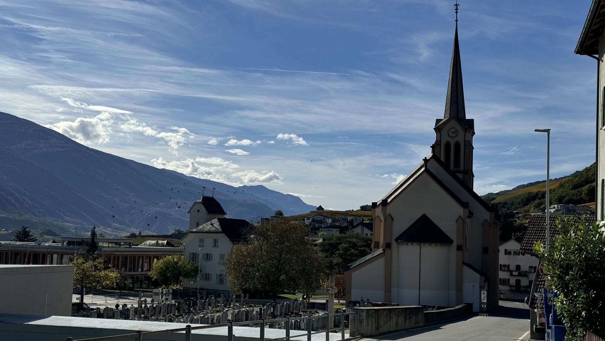
Kirche St. Johann Baptist
(583 m)
Kraj čaščenja
74.1 km
Sonne
(592 m)
Restavracija
74.3 km
Varensis
(749 m)
Restavracija
77.7 km
Varen
(771 m)
Vas
77.9 km
Kirche
(750 m)
Kraj čaščenja
80.3 km
Leuk
(731 m)
Vas
80.3 km
Susten
(630 m)
Vas
81.9 km
Getwing
(610 m)
Vas
87.6 km
Gampilgaar (Niedergesteln)
(632 m)
Poravnava
91.5 km
Gampel-Steg
(632 m)
Železniška postaja
91.6 km
Še ni pregledov
Spletne kamere s turneje
-
Grimentz Ort
-
Sorebois
-
Eischoll - Stryggen
-
Buvette Orzival
-
Grimentz Zinal Pendelbahn
-
Luzerner Höhenklinik Montana
-
St. Luc/Chandolin
-
Bendolla
-
Télécabine Vercorin - Cret du Midi
-
Jeizinen - Feselalpe
-
St. Luc/Chandolin
-
St. Luc/Chandolin
-
St. Luc/Chandolin
-
St. Luc/Chandolin
-
Eischoll Dorf
-
Saint-Luc / Hôtel Weisshorn
-
Vallée d'Anniviers
-
Grimentz
-
Restaurant Üflängen
-
Trächu Hittu / Untere Feselalpe
-
Obere Feselalpe
-
LGJ Bergstation
-
Staudamm Moiry
-
Cabano de Tracuit
-
Mont Major
-
Le Mont
-
Creux du Lavioz
-
Col du Pouce
-
Espace Weisshorn Téléphérique
-
Relais de la Tzoucdana
Priljubljeni izleti v okolici
-
5.0
Bella-Tola
srednjaVisokogorska tura 6.72 km -
5.0
Torrenthorn- Rigi der Walliser Alpen
Pohodništvo 2.99 km -
4.0
Grand Bisse de Lens
svetlobaPohodništvo 8.73 km -
Gratweg
Via ferrata 5.16 km -
Talabfahrt (Rinderhütte-Tunnel-Folljeret-Leukerbad)
Pohodništvo 7.78 km -
4.0
Wolfstritt
Pohodništvo 7.02 km -
5.0
Klettersteig Daubenhorn
težkoVia ferrata 5.34 km -
5.0
Wildstrubel Umrundung 4-Tage
srednjaPohodništvo 79.1 km -
Majingbärgji
Pohodništvo 13.4 km -
5.0
777 (Flaschen- Torrentalp- Rinderhütte)
Pohodništvo 3.50 km

Pohodništvo in sledenje

Zaradi več kot 550.000 predlogov izletov, podrobnih zemljevidov in intuitivnega načrtovanja poti je aplikacija obvezna oprema za vse ljubitelje narave.

Ne zamudite ponudb in navdiha za naslednje počitnice
Naročite se na novice
Napaka
Zgodila se je napaka. Prosimo, poskusite znova.
Zahvaljujemo se vam za prijavo
Vaš e-poštni naslov je bil dodan na poštni seznam.
Izleti po vsej Evropi
Avstrija
Švica
Nemčija
Italija
Slovenija
Francija
Nizozemska
Belgija
Poljska
Lihtenštajn
Češka
Slovaška
Španija
Chorvátsko
Bosna in Hercegovina
Luksemburg
Andora
පෘතුගාලය
අයිස්ලන්තය
එක්සත් රාජධානිය
අයර්ලන්තය
ග්රීසිය
ඇල්බේනියාව
North Macedonia
Malta
Norway
Montenegro
Moldova
කොසෝවො
හන්ගේරියානු සමුහාණ්ඩුව
San Marino
රුමේනියාව
එස්ටෝනියා
ලැට්වියාව
බෙලාරස්
සයිප්රස්
Lithuania
Serbia
බල්ගේරියාව
Monaco
ඩෙන්මාර්කය
Sweden
ෆින්ලන්තය