



Torgon – Valleys & must-sees

Stopnja težavnosti: 4
Starting from Vionnaz, begin your ascent towards Torgon through the vineyards. Then continue your climb along several switchbacks, first passing meadows before entering a more shaded section at the forest...
Starting from Vionnaz, begin your ascent towards Torgon through the vineyards. Then continue your climb along several switchbacks, first passing meadows before entering a more shaded section at the forest edge. This route, with a total length of 12.8 kilometers and 760 meters of elevation gain, runs on a very regular slope with a moderate gradient between Vionnaz and Reveleuraz. A short descent allows a brief rest before a steeper section leading to the village of Torgon, offering a sublime panorama over the Vaud Alps and Lake Geneva. The slope is again gentler after leaving Torgon and the route makes a detour via the La Jorette complex, which hosted the finish of the mountain stage of the Tour de Romandie in 2019. The return to the plain is done on the same route, in reverse.

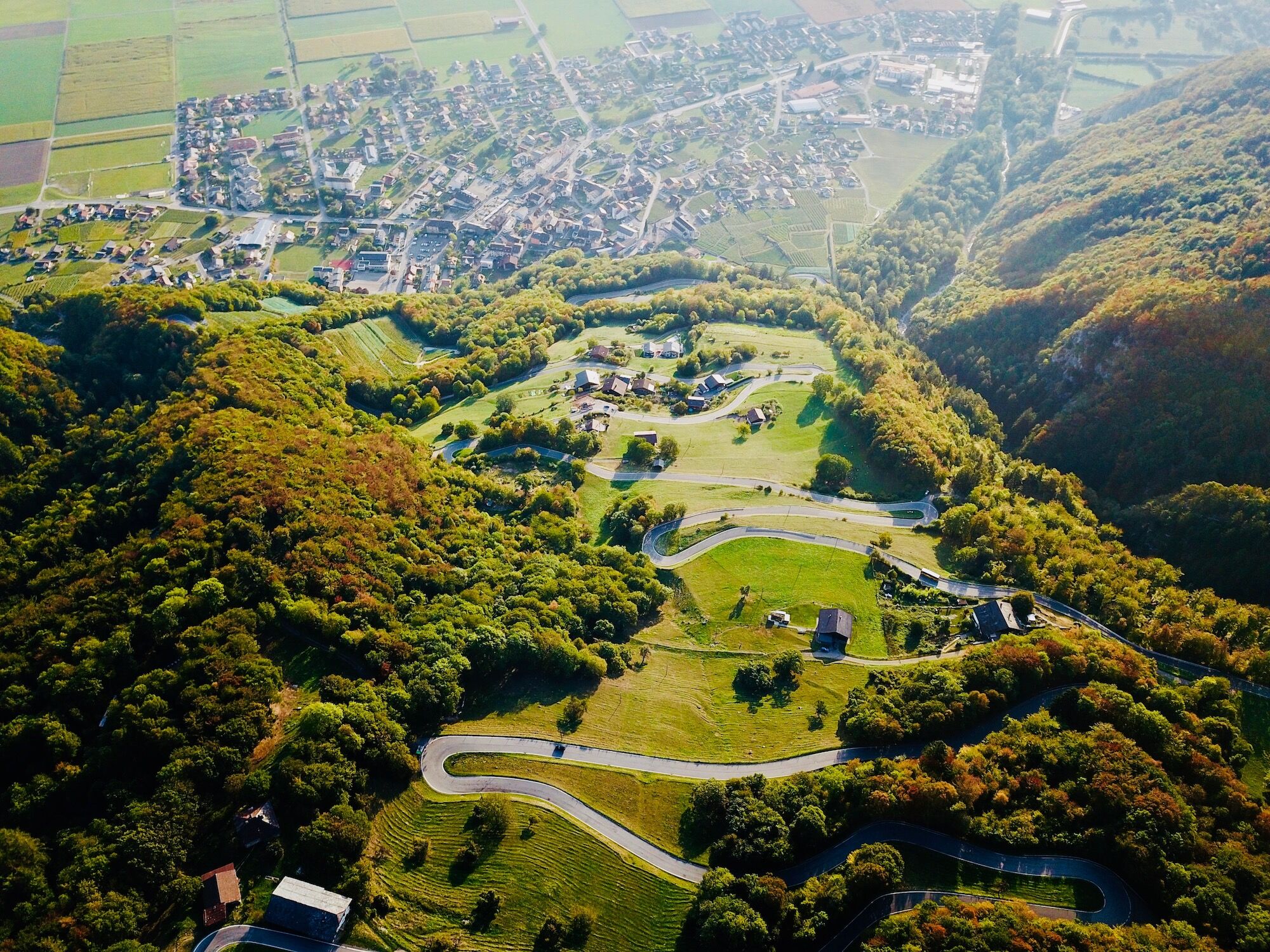
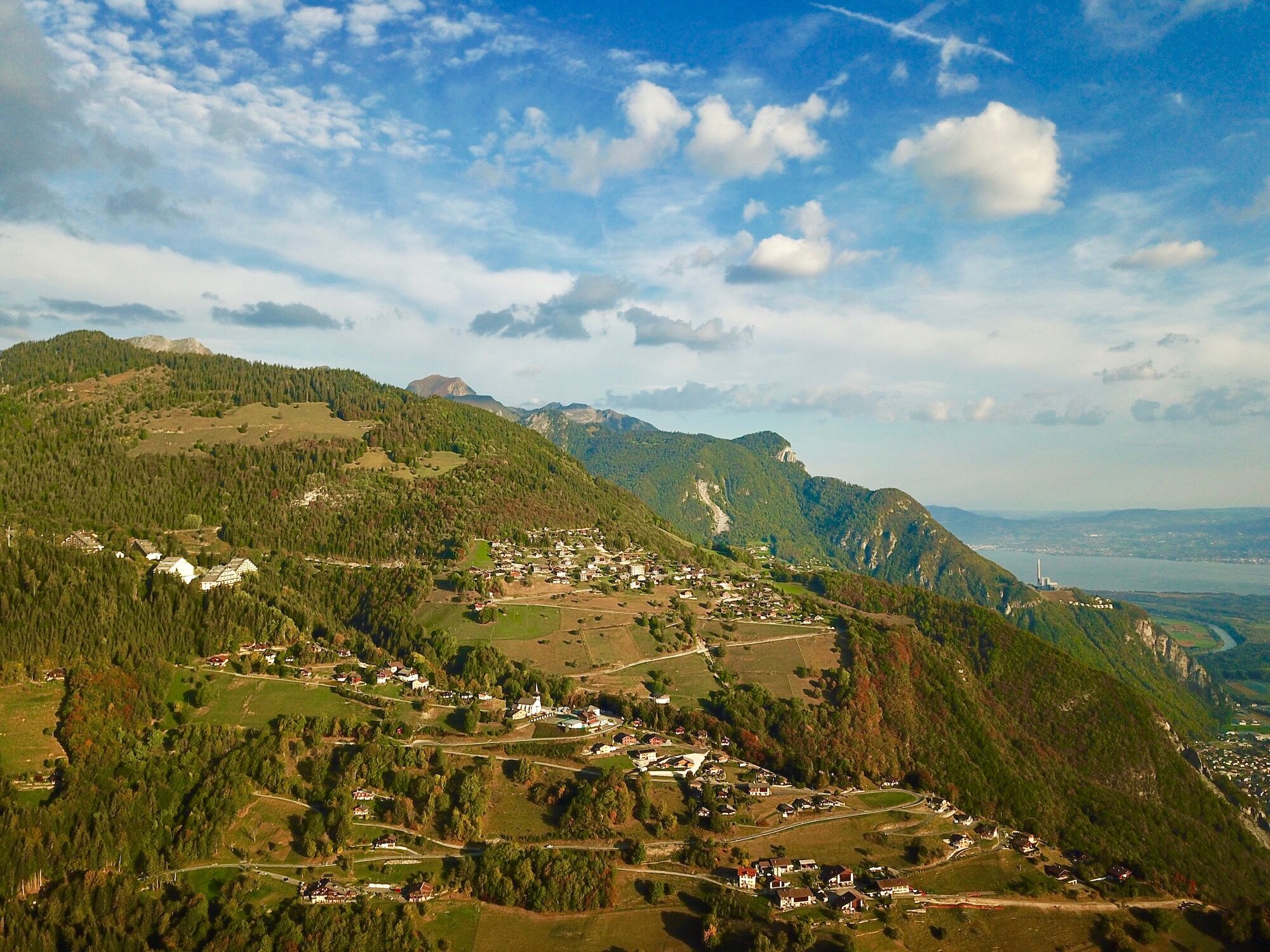
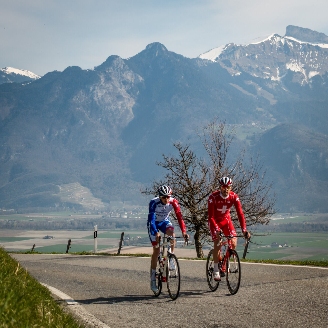

From the center of the village of Vionnaz, head towards Torgon, a mountain village reaching 1,100 meters in altitude and part of the Portes du Soleil ski area. This low-traffic road quickly gains elevation with a series of hairpin bends amidst a beautiful forest dotted with clearings. Cross the hamlet of Revereulaz, then take a short descent before continuing your climb to the village of Torgon. The last two kilometers are on a less steep road, running along the valley side, before crossing the Avançon river and reaching the La Jorette complex, the venue for the finish of the mountain stage of the 2019 Tour de Romandie. From this point, retrace your steps to return to the plain and finish your route in Vionnaz.
Da
Our recommendations: a technically flawless bike, helmet, gloves and bell, appropriate clothing according to the weather, rain protection, drinks and snacks.
Please strictly respect the Swiss road traffic regulations. Note that you use these routes at your own risk and that in case of an accident, the municipalities and landowners cannot be held responsible. Respect plants, animals, nature and the environment. For your safety, wearing a helmet is highly recommended. Properly assess your physical condition and abilities. The use of the different routes is always at your own risk.
Emergency numbers: 144 Ambulance / 117 Police / 1414 Rega
From the motorway, take the exit 17 Aigle, then follow the road crossing the Rhône towards Vionnaz.
Take the train to Martigny station, then change to the regional train towards St-Gingolph and get off at the Vionnaz stop. It is also possible to take the train to the Monthey or Aigle SBB stations and finish your journey by bus to the village of Vionnaz.
Many parking spaces are available on Rue du Collège, as well as throughout the village.
4
Learn more about the Dents du Midi Region:
Extend your ascent with a climb to Plan de Croix, and ride through wilder nature crossing a magnificent pine forest.

Priljubljeni izleti v okolici
- 4.0
Chemin du Lac de Taney
srednjaPohodništvo 8.60 km - 4.7
Le Grammont
svetlobaPohodništvo 13.8 km - 5.0
Morgins - Col des Portes du Soleil
svetlobaSmučarska tura 15.2 km - 4.5
Galerie Défago
svetlobaPohodništvo 8.81 km - 3.0
Sentier des alpages de Vionnaz
svetlobaPohodništvo 13.6 km - 3.0
Hiking trail along the Vièze gorges
svetlobaPohodništvo 6.18 km - 2.0
Rundherumwanderung vom d‘Aï.
srednjaGorski pohodništvo 6 km Tour d’aï
težkoPohodništvo 5.85 kmCol de Bretaye à Villars-sur-Ollon
srednjaPohodništvo 9.63 km- 4.0
Sentier de la Joux Verte
srednjaGorski pohodništvo 9.61 km
Pohodništvo in sledenje


Ne zamudite ponudb in navdiha za naslednje počitnice
Vaš e-poštni naslov je bil dodan na poštni seznam.


