






Col de Champoussin - Valais Bike Tour
Stopnja težavnosti: 4
Starting from the Champéry cable car square, you leave behind this charming village to attack the little-known side of the Col de Champoussin. The first kilometer will make your calves tremble, with an...
Starting from the Champéry cable car square, you leave behind this charming village to attack the little-known side of the Col de Champoussin. The first kilometer will make your calves tremble, with an average slope of 10.5%. Then, the climb becomes gentler, with percentages between 6 and 8%. In the middle of your ascent, a brief passage on a gravel surface adds a bit of spice to your route, and the view becomes more and more splendid as the kilometers go by. Once at the top, admire the Dents du Midi mountain range, which shows you its best profile.

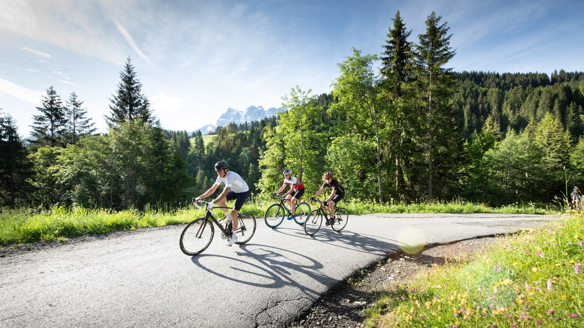
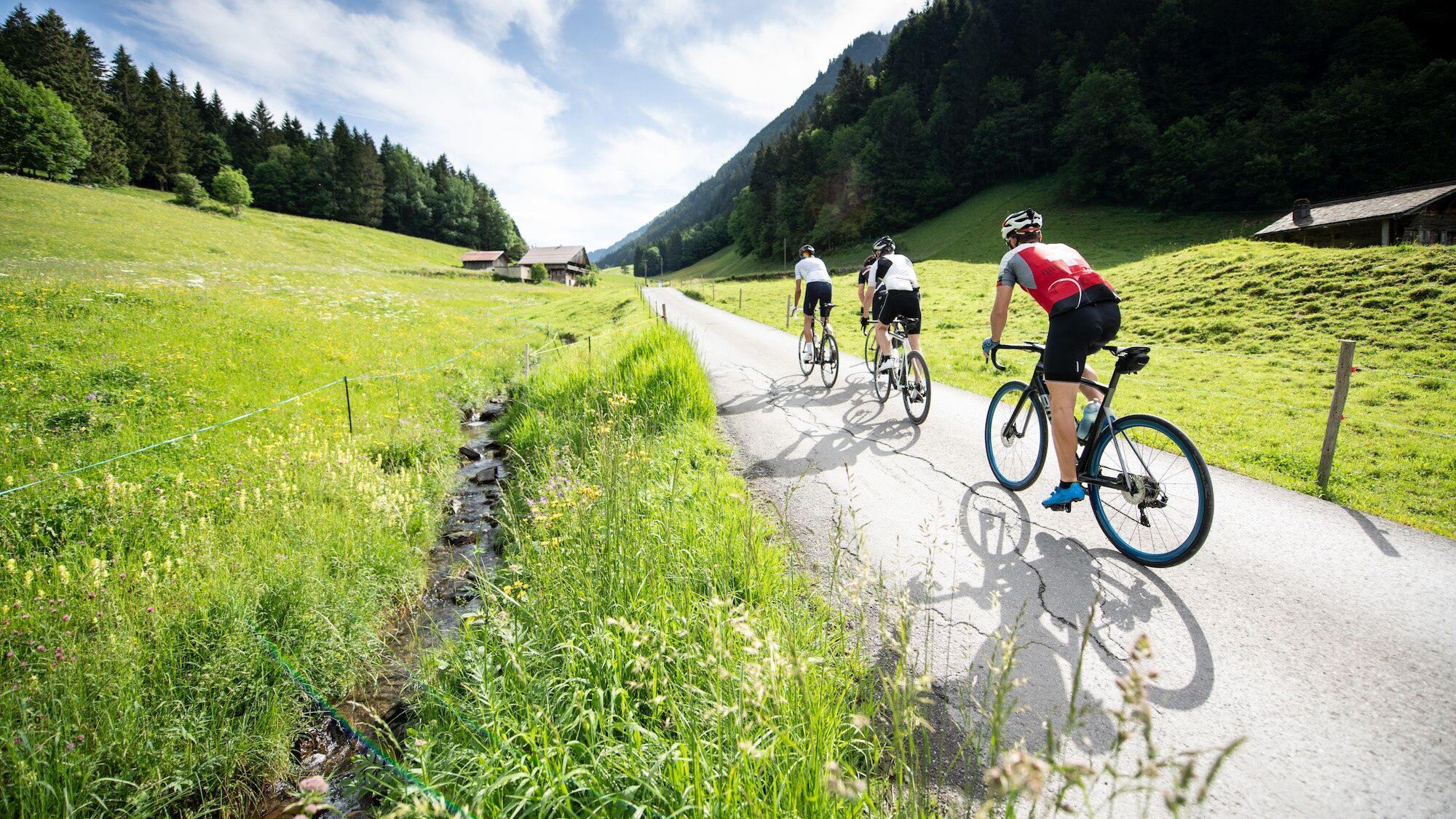
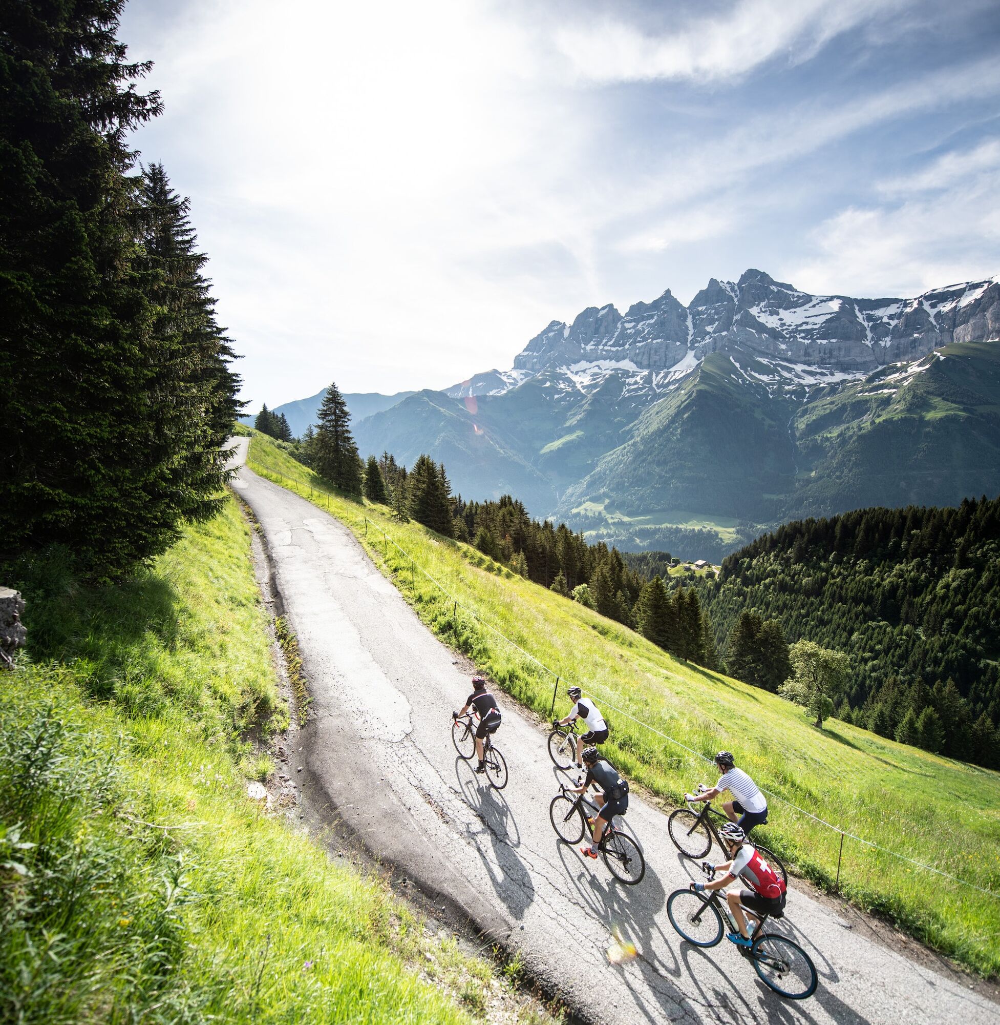

The start of this route is located in Champéry, in the heart of the Dents du Midi Region, at an altitude of 1036 meters. Five signposts mark this climb to inform you of your progress. After 300 meters of ascent, turn left and follow the direction of the Col de Cou. The next section is very demanding, as it makes you climb 105 meters of elevation over one kilometer of road before turning right and continuing on gentler slopes between 6 and 8%. The road then turns into a gravel surface for 1200 meters, a section that remains accessible even with road tires. Then join the Crosets road, followed by a small descent before following the direction of Champoussin. The last two kilometers are easy despite the 4% gradient. At the top, don’t forget to immortalize your climb next to the red cyclosportive totem placed in front of the majestic Dents du Midi.
Da
Da
Our recommendations: technically impeccable bike, helmet, gloves and bell, suitable clothing depending on the weather, rain protection, drink and snack.
Please strictly respect the Swiss road traffic code. Note that you use these routes at your own risk and danger and that in case of accident, the communes and landowners cannot be held responsible. Respect plants, animals, nature and the environment. For your safety, wearing a helmet is highly recommended. Assess your physical condition and abilities well. The use of different routes is always at your own risk.
Emergency numbers: 144 Ambulance / 117 Police / 1414 Rega
From the A9 motorway, take exit 18 St-Triphon and cross the bridge over the Rhône towards Monthey. Follow signs to Champéry and successively pass through the villages of Troistorrent and Val-d’Illiez before reaching your destination.
Take the CFF train to Aigle, then change to a regional train line that takes you to Champéry.
Free parking spaces are available in the village center, close to the Champéry train station.
4
Learn more about the Dents du Midi Region destination:
Treat yourself to a gourmet break at the “Sur Coux” canteen and enjoy a delicious dish on its panoramic terrace.
Pridobite vpogled
Vedno v živo na mestu z več kot 9.500 spletnimi kamerami. bergfex Kot uporabnik Pro si lahko zdaj ogledate ustrezne spletne kamere za številne izlete v aplikaciji izleti iz. Tako si lahko neposredno ogledate trenutne razmere.
Priljubljeni izleti v okolici
-
5.0
Sentier de Salanfe
srednjaPohodništvo 12.8 km -
3.5
Lac d'Emosson - Gorge de la Veudale - Col de la Terrasse - Lac du Vieux Emosson zurück nach Lac d'Emosson
srednjaPohodništvo 14.3 km -
5.0
Circular hike Roc Coupé – Bonavau – Champéry
srednjaPohodništvo 12.1 km -
5.0
Morgins - Col des Portes du Soleil
svetlobaSmučarska tura 15.2 km -
4.5
Galerie Défago
svetlobaPohodništvo 8.81 km -
5.0
Champéry - Sous Scex
Pohodništvo 2.41 km -
Champéry - Seen von Antème
Pohodništvo 14.8 km -
4.0
Circular hike to the Lacs d’Antème
težkoPohodništvo 16.3 km -
3.0
Sentier des alpages de Vionnaz
svetlobaPohodništvo 13.6 km -
3.0
Hiking trail along the Vièze gorges
svetlobaPohodništvo 6.18 km
Pohodništvo in sledenje


Ne zamudite ponudb in navdiha za naslednje počitnice
Vaš e-poštni naslov je bil dodan na poštni seznam.





