


Contrées Bike
Stopnja težavnosti: S1
This loop trail from Lake Moubra explores the diverse landscapes of the Noble and Louable Contrée. Heading east, it winds through forests, meadows and quaint villages like Randogne and Mollens, with wide-open...
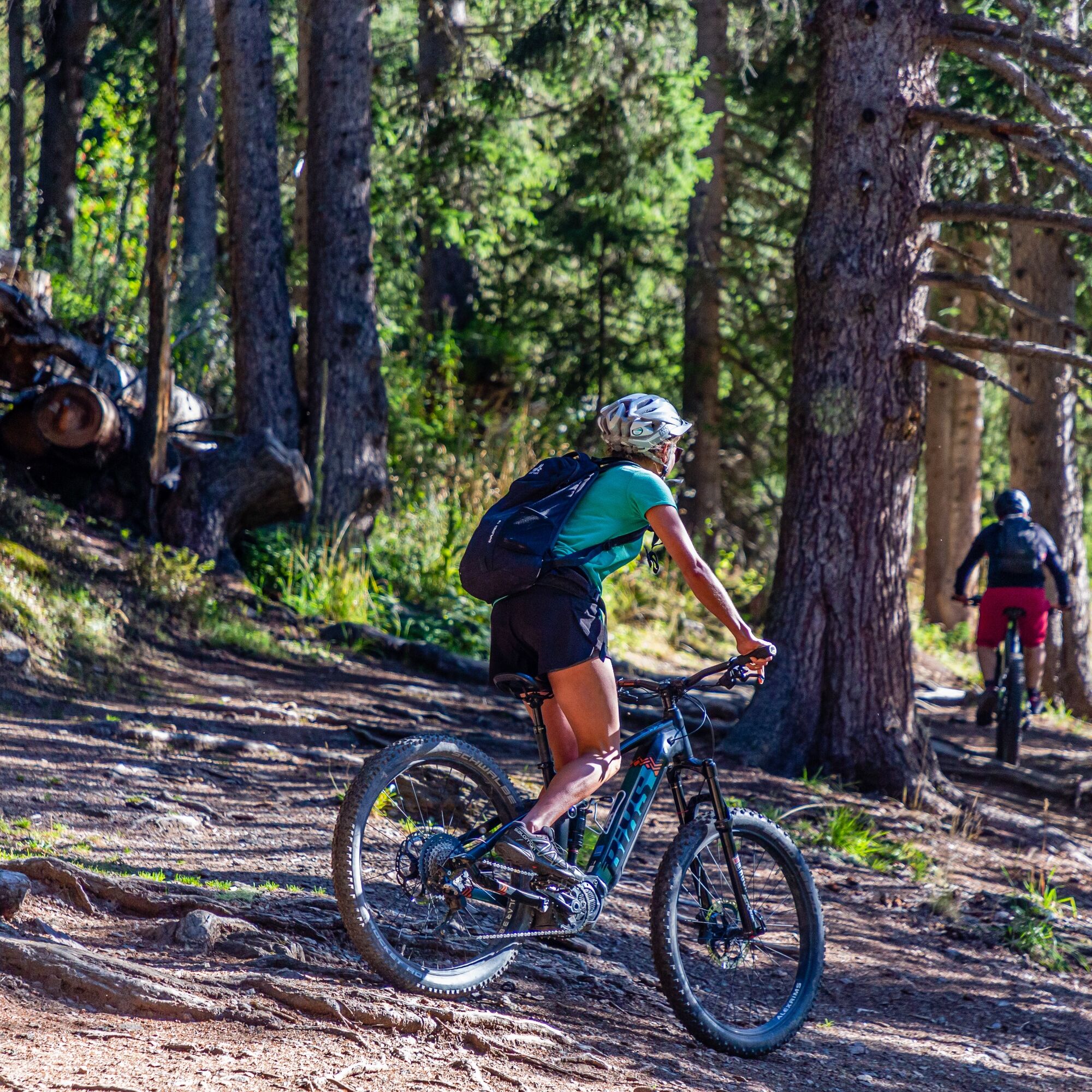
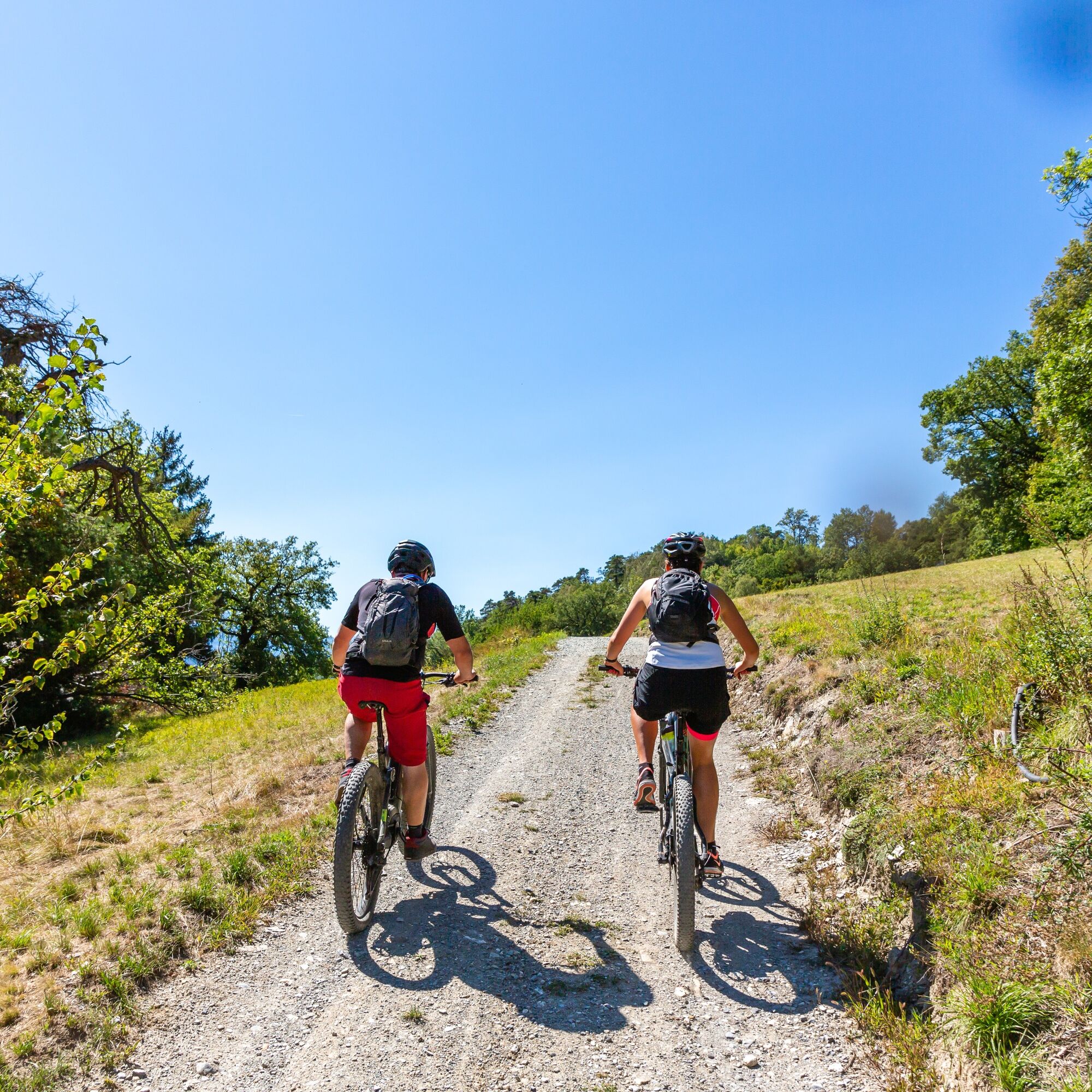
This loop trail from Lake Moubra explores the diverse landscapes of the Noble and Louable Contrée. Heading east, it winds through forests, meadows and quaint villages like Randogne and Mollens, with wide-open views of the Valaisan peaks. It descends through Venthône and follows the region’s characteristic vineyards before climbing again into the cool woods leading to Chermignon-d’en-Bas. The route then ascends to Lens, continues to the tranquil Lake Miriouges and ends with a return through the Moubra forest. Combining village charm, natural beauty and a taste of local life, this trail offers an authentic experience. With technical descents, short climbs and a mix of surfaces, it strikes a perfect balance between physical effort and scenic pleasure.
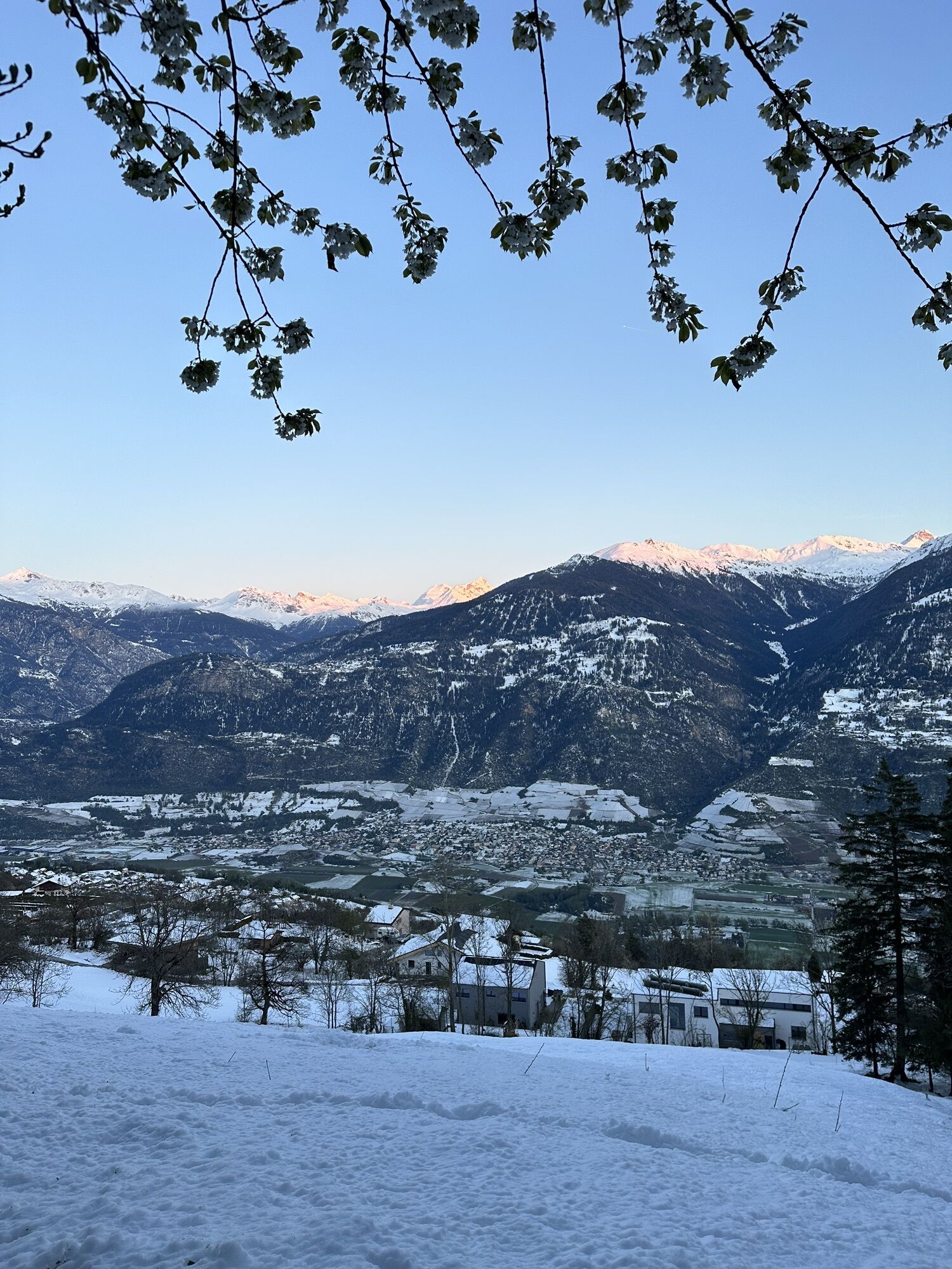
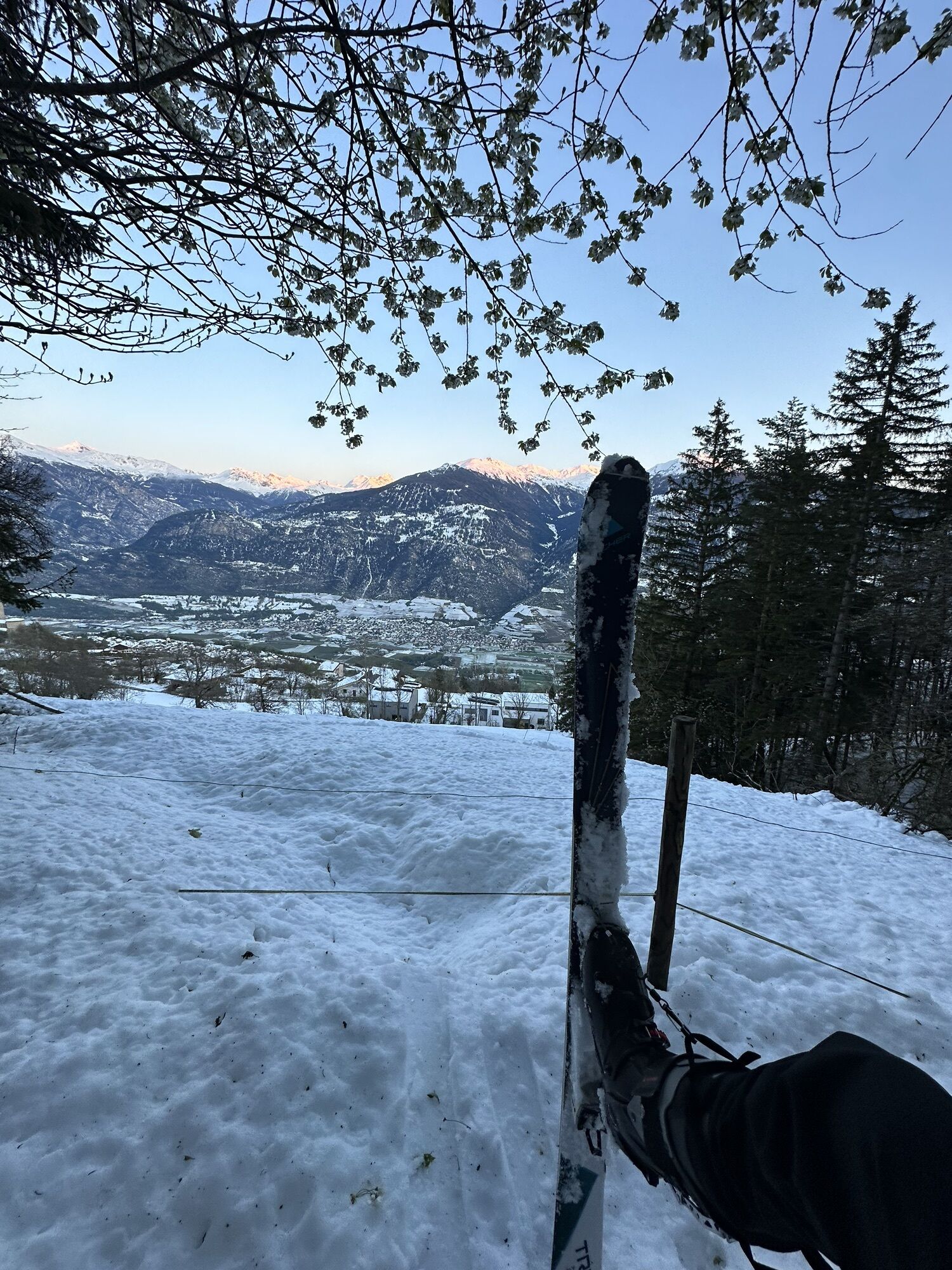
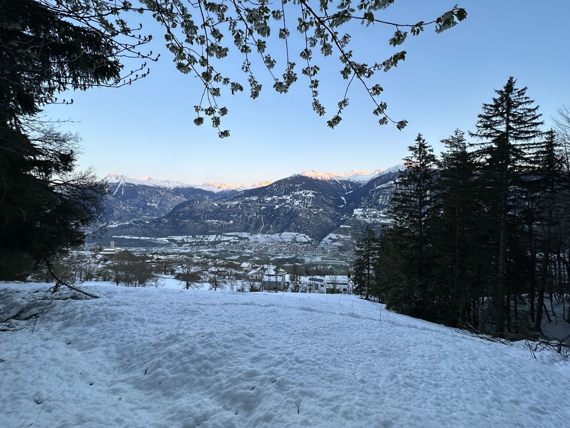
The route starts at the beautiful Lake Moubra in Crans-Montana and leads through the traditional landscapes of the Noble et Louable Contrée. Founded in the 14th century, this shared alpine community brought together the municipalities of Lens, Icogne, Chermignon, Montana and Randogne. Today, the Noble et Louable Contrée is known for its remarkable landscape diversity, with sun-exposed vineyards, alpine pastures, mixed forests and authentic Valais villages.
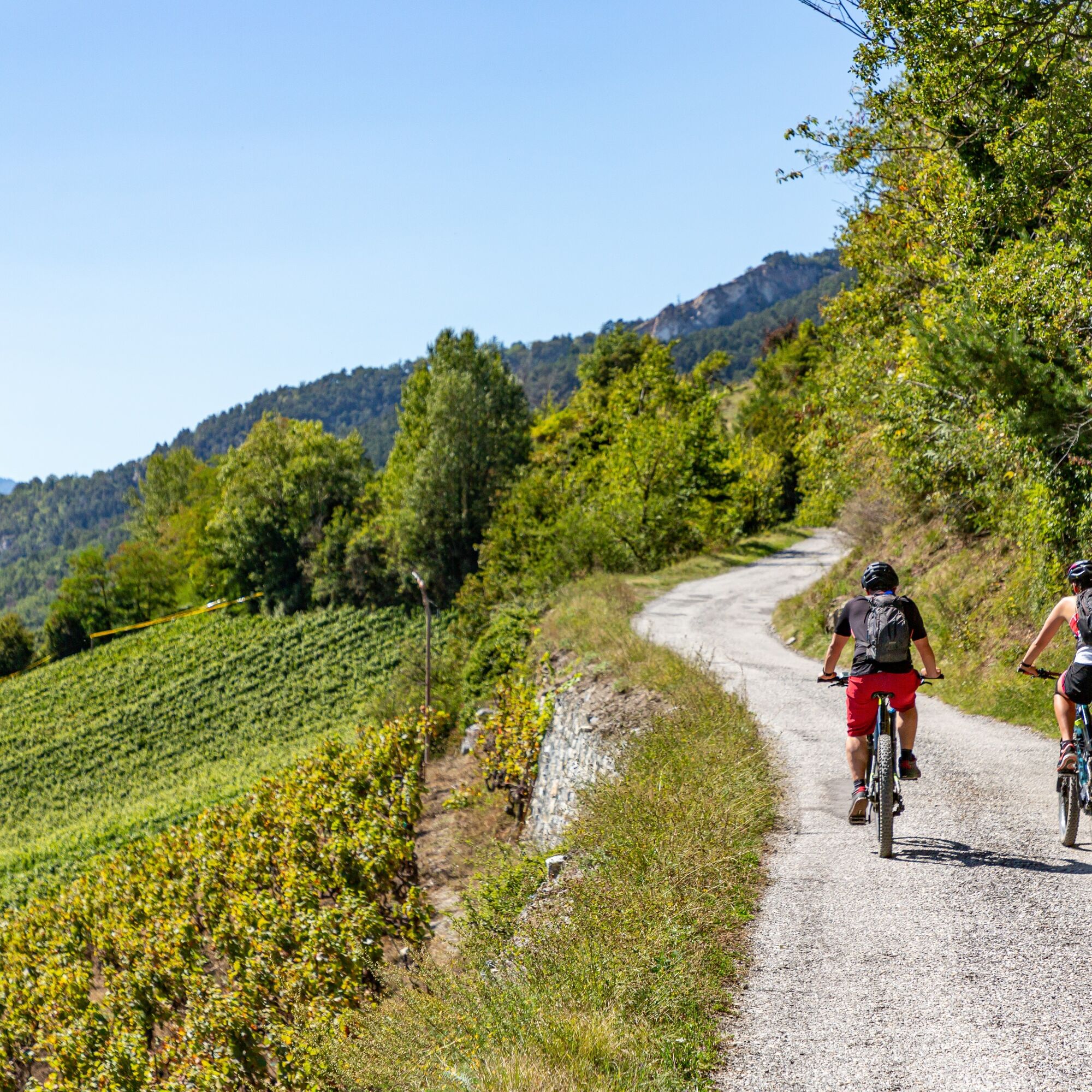
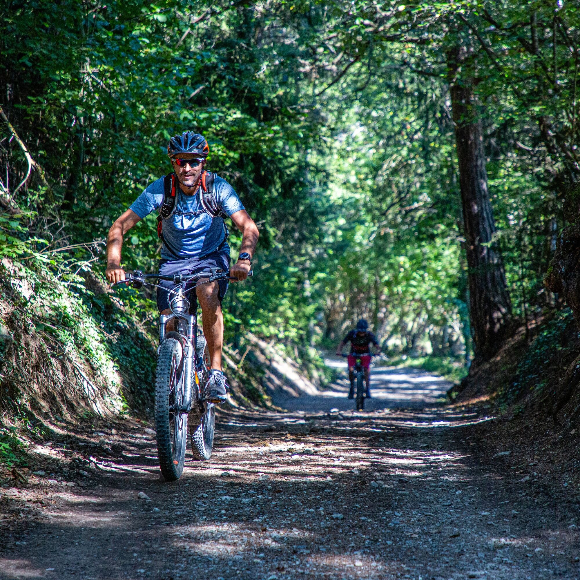
At the start, short singletracks alternate with alpine roads. The route passes scattered mountain huts across meadows and through the quiet villages of Randogne and Mollens. Panoramic views stretch across the Rhône Valley as far as the Dents du Midi. In Venthône, the trail enters the south-facing vineyards. This wine-growing village is home to numerous medieval buildings, including the Venthône Tower and the Anchettes Castle. Viticulture has a long tradition here, shaping the slopes with dry-stone walls and the villages with vaulted cellars and narrow passages.
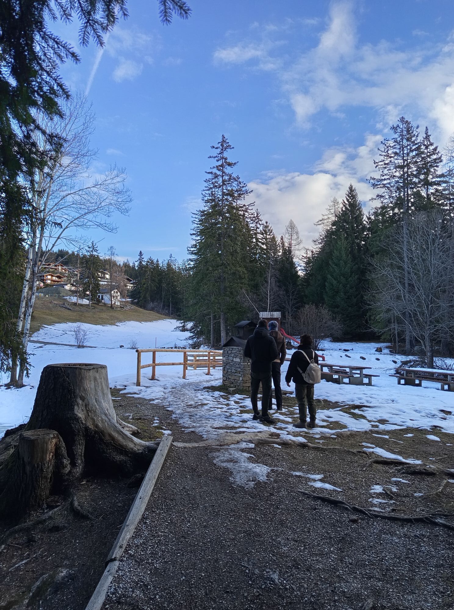
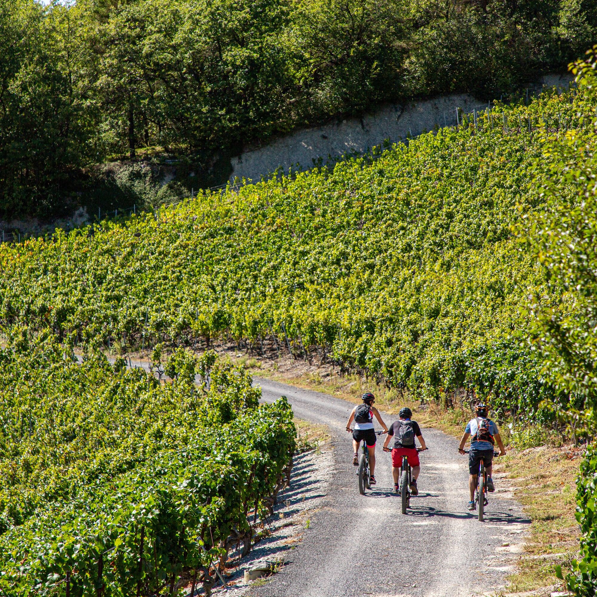
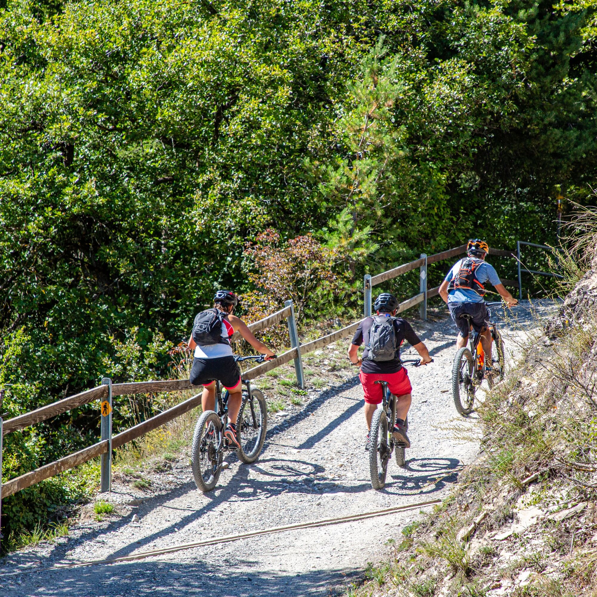
After the descent through the vineyards, the climb begins again from Chermignon-d’en-Bas. Via Lens, the route reaches Lake Miriouges on a steady ascent. Nestled in the forest, this small lake with its picnic area is ideal for a final break and a refreshing pause.
Preparing for mountain bike outings
Best practice guidelines
When planning, take into account participants’ fitness level and ability. All riding is at one’s own risk.
Some sections of the trails are shared with walkers, dog owners, horse riders and others. For a safe and pleasant experience for everyone, please ride considerately: control your speed, give way to pedestrians, and always be courteous.
From the A9 motorway exit Sierre-ouest, follow the signs for Crans-Montana (approx. 20–25 minutes), then head towards Montana-centre or ⚽🏇🎾🧗, ⛺, or Parc Aventure. Parking is available on site at Moubra.
From Sierre SBB/CFF train station, cycle to the SMC funicular station and take the funicular to “Crans-Montana, gare” (final stop, approx. 13 min, runs 3x/hour). After exiting the funicular:
Ride around 7 minutes to reach the starting point at Moubra.
Free SMC shuttle buses serve the entire Crans-Montana resort. The nearest stop is “Lac Moubra” (line 433 or 436).
Free parking is available at Moubra.
S1
Charging stations for electric bikes
The route includes an electric bike charging station. The most common rapid charging cables are available on site.
Take a break at the picnic area in Tovachir (at the end of the descent), at Lake Miriouges, or by the shore of Lake Moubra at the finish.
Priljubljeni izleti v okolici
-
5.0
Bella-Tola
srednjaVisokogorska tura 6.72 km -
4.7
Leukerbad - Gemmipass - Lämmerenhütte
srednjaPohodništvo 9.49 km -
4.0
Grand Bisse de Lens
svetlobaPohodništvo 8.73 km -
4.0
Gemmipass - Lämmerenhütte - Rote Totz Lücke - Daubensee - Gemmipass
srednjaPohodništvo 13.7 km -
4.0
Tripon - Brac – Ancien Bisse du Torrent Neuf – St. Marguerite – Torrent Neuf – Prafirmin - St. Germain
svetlobaPohodništvo 12.9 km -
Talabfahrt (Rinderhütte-Tunnel-Folljeret-Leukerbad)
Pohodništvo 7.78 km -
4.0
Wolfstritt
Pohodništvo 7.02 km -
5.0
Klettersteig Daubenhorn
težkoVia ferrata 5.34 km -
4.0
Belvédère via ferrata
srednjaVia ferrata 1.81 km -
5.0
Wildstrubel Umrundung 4-Tage
srednjaPohodništvo 79.1 km

Pohodništvo in sledenje


Ne zamudite ponudb in navdiha za naslednje počitnice
Vaš e-poštni naslov je bil dodan na poštni seznam.