







Teriol "Soura Gengle"
Intermediate circular route that takes the hiker into the habitat of the alpine chamois.
The starting point is located between the locality of Varda and Passo Campolongo.
Pleasant walk rich in scenic viewpoints...
Intermediate circular route that takes the hiker into the habitat of the alpine chamois.
The starting point is located between the locality of Varda and Passo Campolongo.
Pleasant walk rich in scenic viewpoints which, with the help of binoculars, makes the hike even more adventurous.

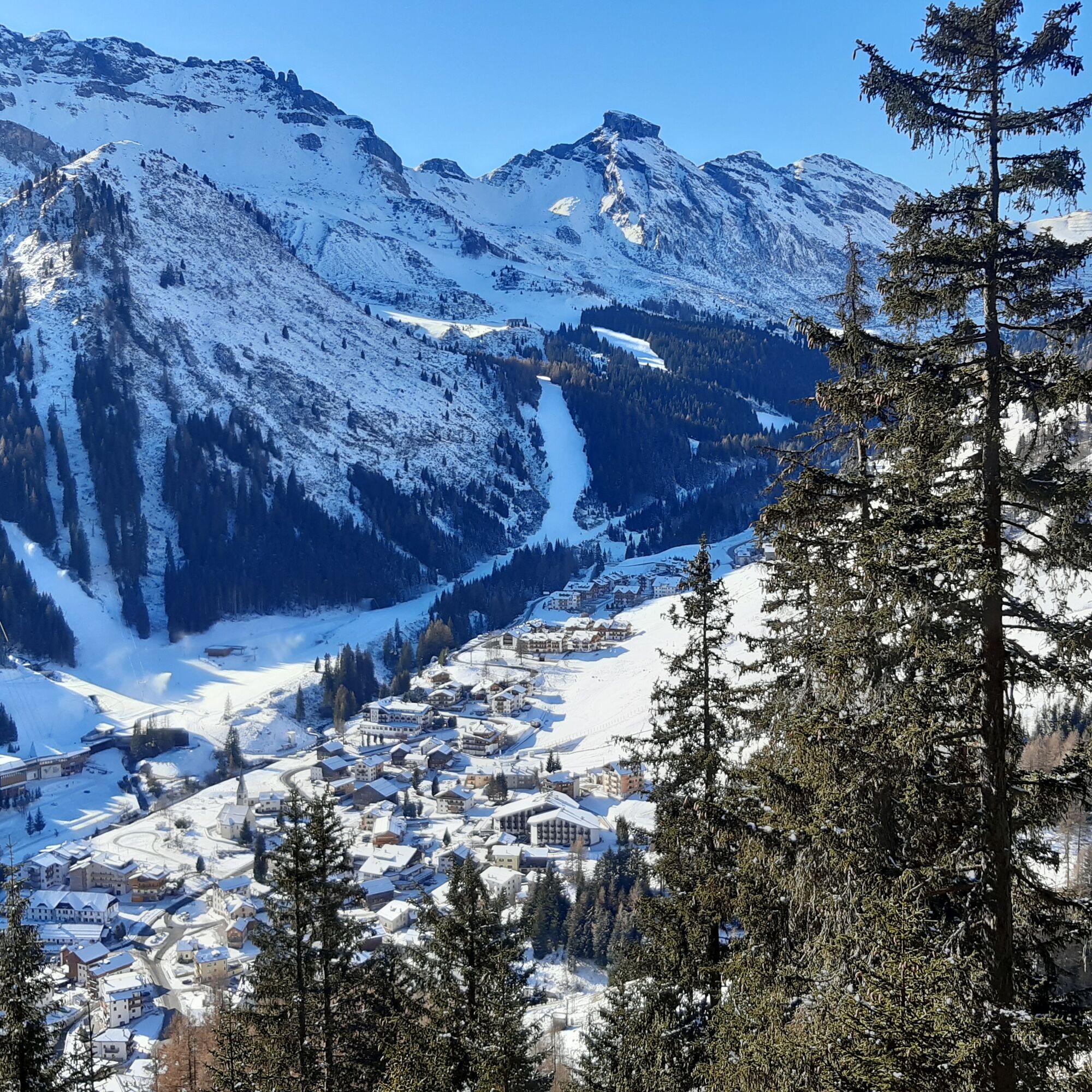
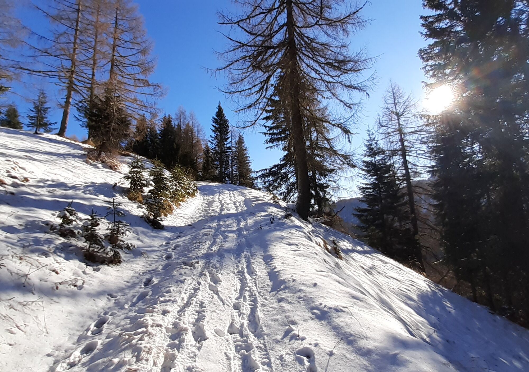
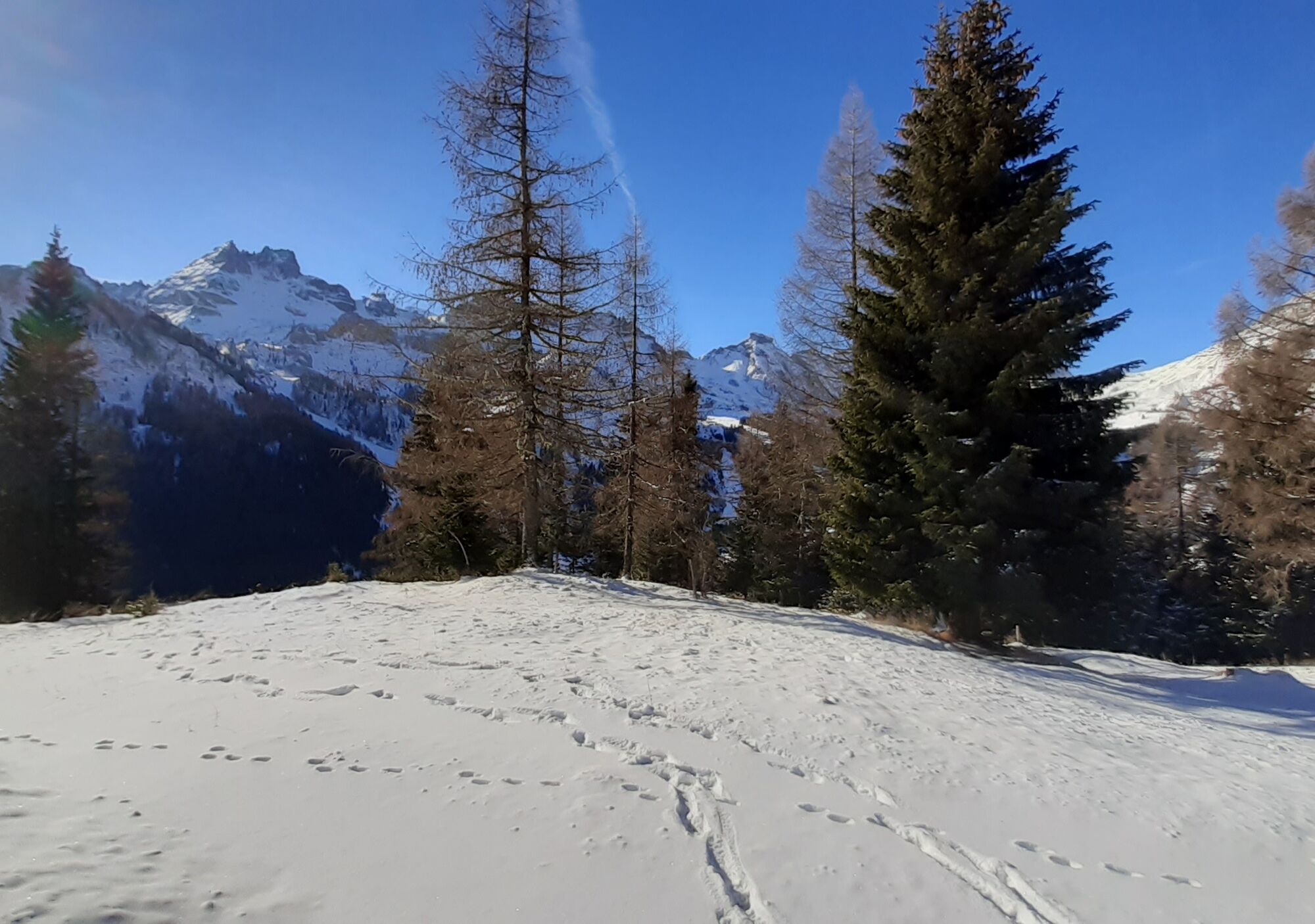

From the hamlet "Varda" follow the signs for the path "Soura Cengle" up to Passo Campolongo.
Da
Da
Da
The snowshoer's kit:
waterproof backpack or with waterproof cover (not too large if the hike is short) topographic map (alternatively a local map with recommended trails) compass and altimeter (alternatively a sports watch) binoculars water bottles thermos with hot tea energy bars or snacks chocolate sandwiches (alternatively lunch in a mountain hut) breathable t-shirt spare t-shirt (preferably breathable) sweatshirt or fleece windproof and waterproof jacket waterproof and insulated ski pants ski socks (alternatively two pairs of socks) waterproof after-ski boots wool hat/headband ski gloves anti-glare sunglasses sunscreen ski poles or telescopic trekking poles snowshoesThere are no refreshment points along the route.
Always let someone know where you are headed and the approximate duration of the hike.
The emergency phone number is 112 or 118 (ambulance).
By car
From Innsbruck Brenner Motorway A22 to the Bressanone exit, continue to Val Pusteria, Val Badia and Passo Campolongo. From Verona/Milan Brenner Motorway A22 to Egna Ora castle, continue to Val di Fiemme, Val di Fassa, Passo Pordoi, Arabba and Passo Campolongo. From Venice A27 Motorway Belluno exit follow the Agordina 203 to Agordo, Caprile, Arabba and Passo Campolongo.By train
Nearest railway stations:
Belluno - 70 km Brunico - 48 km Ponte Gardena - 51 kmBy bus
Brunico - 47 km connection via SAD line www.sad.it Belluno – 70 km connection via Dolomitibus line www.dolomitibus.itBy plane
Venice Treviso/Venice Marco Polo – 160/170 km Innsbruck - 140 km Verona – 270 km Milan Bergamo/Milan Malpensa - 310/400 kmAt the start of the route there is a clearing where you can leave your car.
Before leaving we recommend that you check the weather conditions, which can change rapidly in the mountains, and the condition of the route.
The sustainable snowshoer's handbook:
choose the route based on your physical and technical abilities inform yourself before departure about the route you intend to take (distances, elevation gain, time required, springs, fountains, huts, lifts, bivouacs, etc.) check the condition of the chosen trail never undertake a hike alone always carry all waste back down the mountain please stay on marked trails please be quiet feeding animals is prohibited
 Pridobite vpogled
Vedno v živo na mestu z več kot 9.500 spletnimi kamerami. bergfex Kot uporabnik Pro si lahko zdaj ogledate ustrezne spletne kamere za številne izlete v aplikaciji izleti iz. Tako si lahko neposredno ogledate trenutne razmere.
Pridobite vpogled
Vedno v živo na mestu z več kot 9.500 spletnimi kamerami. bergfex Kot uporabnik Pro si lahko zdaj ogledate ustrezne spletne kamere za številne izlete v aplikaciji izleti iz. Tako si lahko neposredno ogledate trenutne razmere.
Priljubljeni izleti v okolici
-
4.8
Pordoi Pass - Sass Pordoi - Forcella Pordoi - Piz Boè - Boè Refuge - Forcella Pordoi - Pordoi Pass
težkoPohodništvo 8.39 km -
5.0
Langkofel Klettersteig/Ferrata Furcela de Saslonch
težkoVia ferrata 7.07 km -
5.0
Um den Langkofel
srednjaPohodništvo 9.76 km -
4.0
Der Friedrich-August-Weg
srednjaPohodništvo 10.4 km -
4.9
Lang- und Plattkofel Umrundung
srednjaPohodništvo 17.5 km -
4.8
Langkofel-Umrundung
srednjaPohodništvo 12.9 km -
4.7
Five Towers Tour (Averau, Nuvolau and Scoiattoli refuges) from Giau Pass
srednjaPohodništvo 10.8 km -
4.7
Passo Giau roundtrip
srednjaPohodništvo 8.10 km -
4.8
Pisciadùsteig Sella Gruppe
srednjaVia ferrata 7.15 km -
4.4
Viel dal pan
svetlobaPohodništvo 6.60 km

Pohodništvo in sledenje


Ne zamudite ponudb in navdiha za naslednje počitnice
Vaš e-poštni naslov je bil dodan na poštni seznam.





