







"Tre Cime di Lavaredo" route
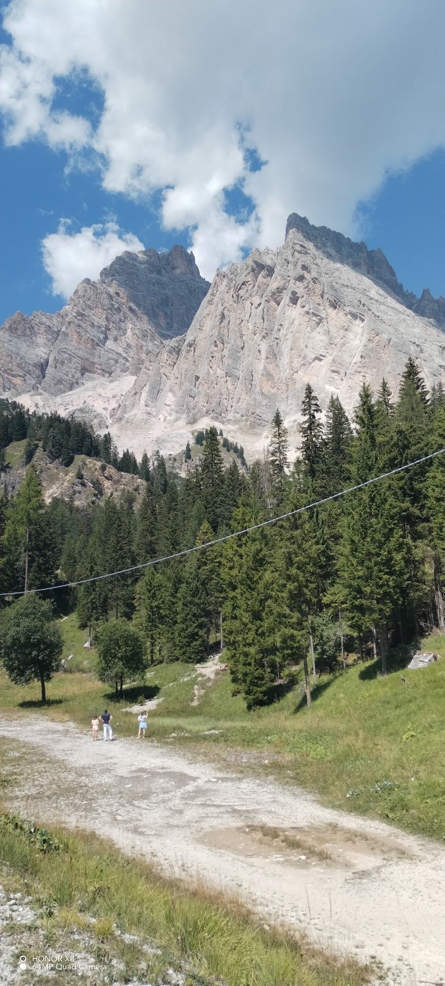
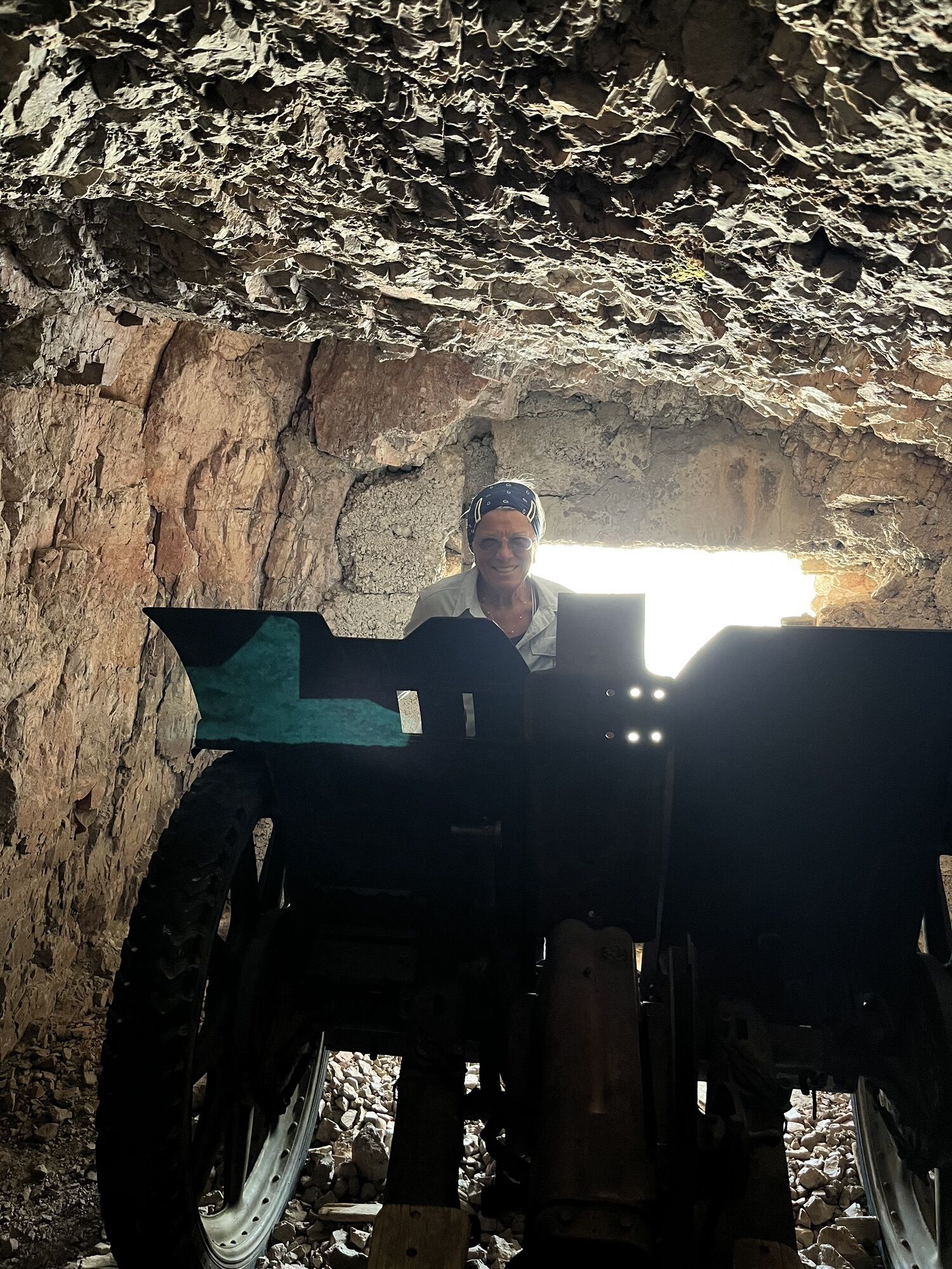
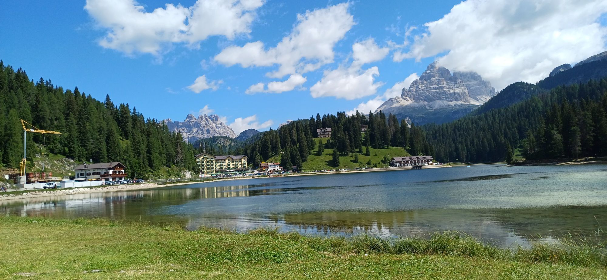
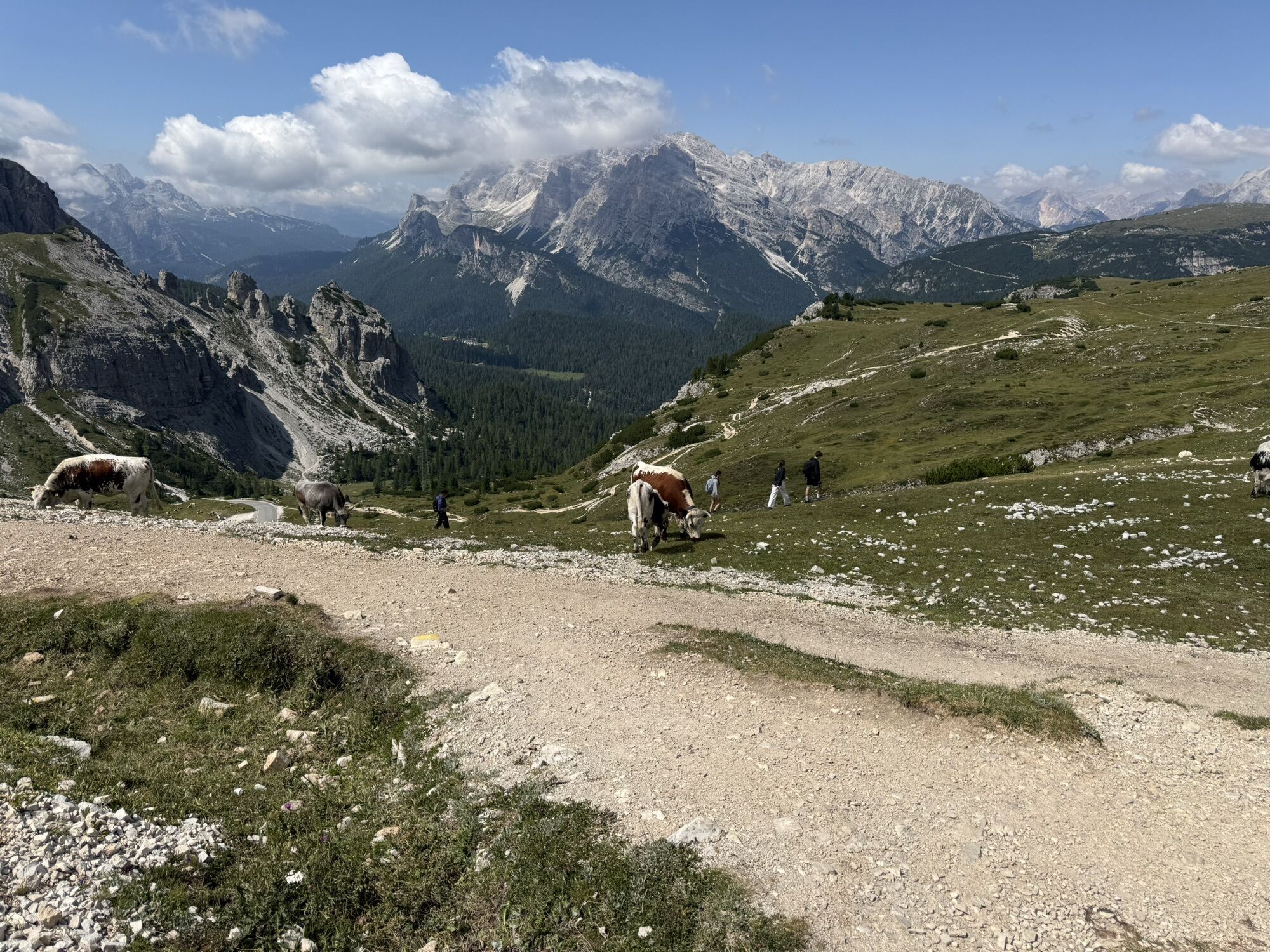
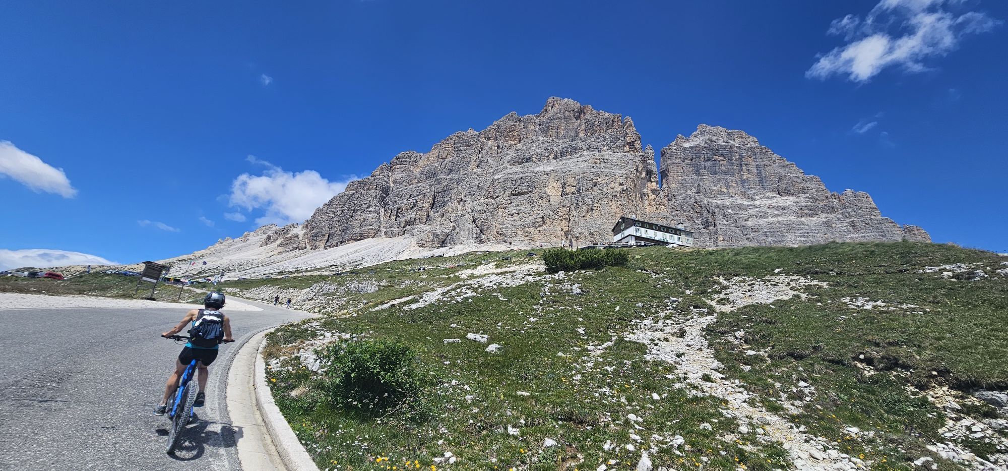
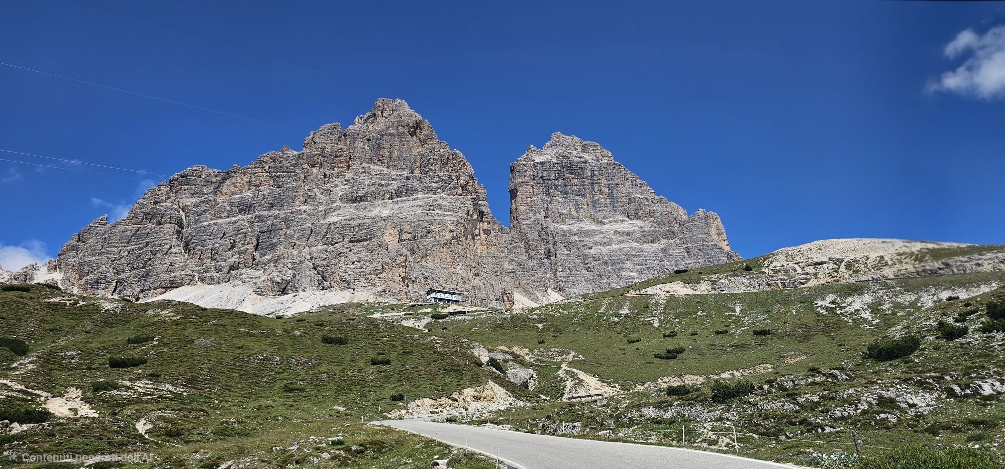
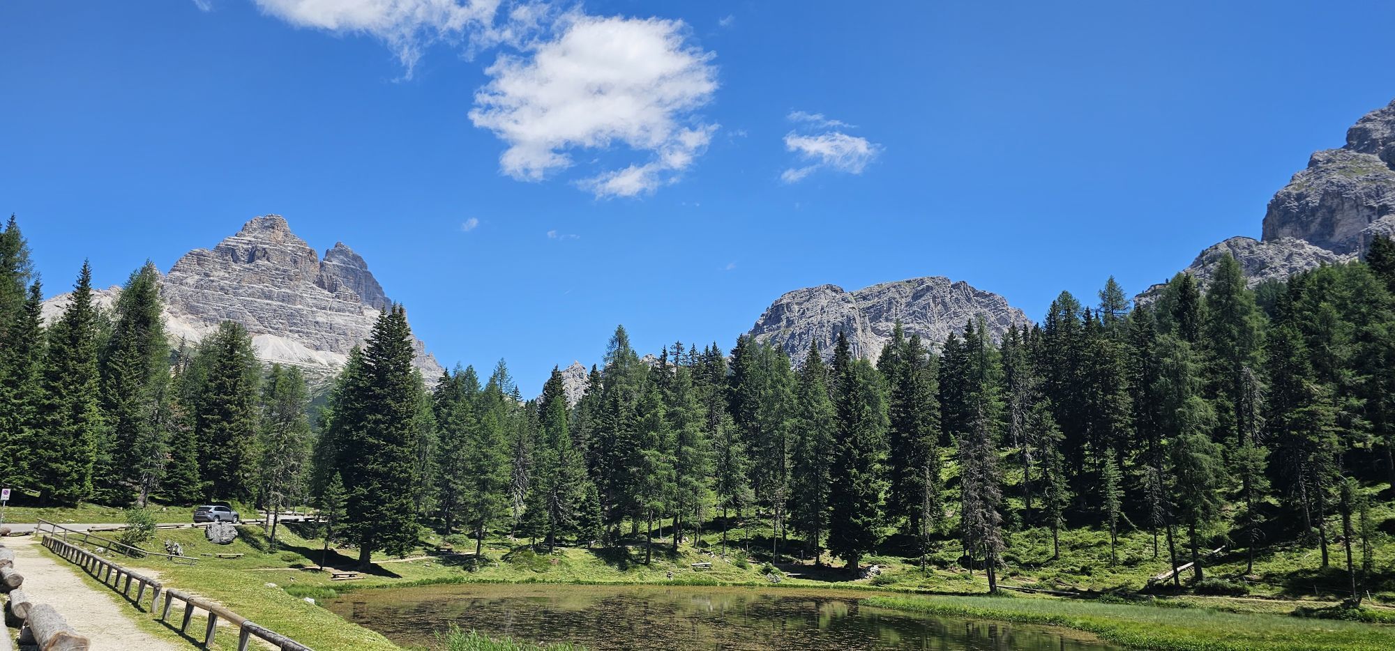
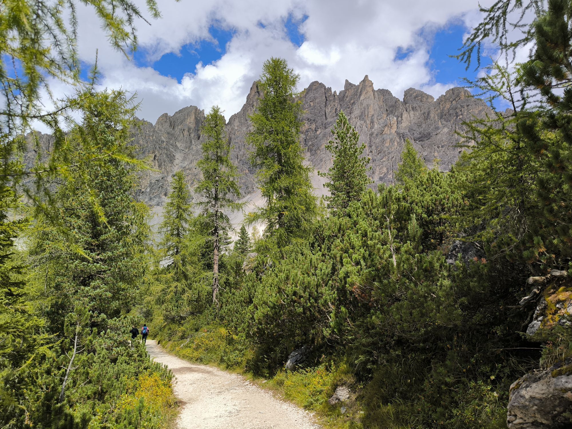
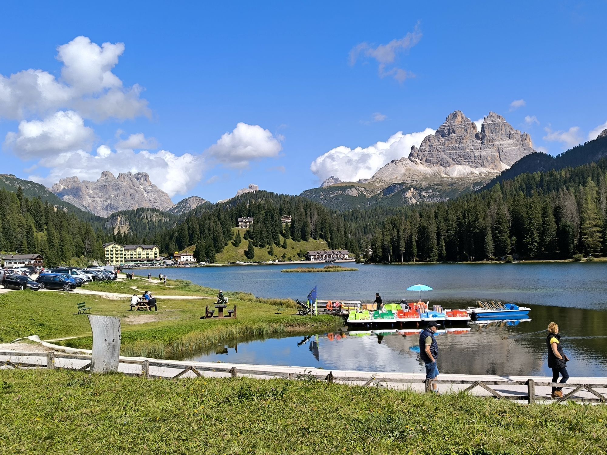
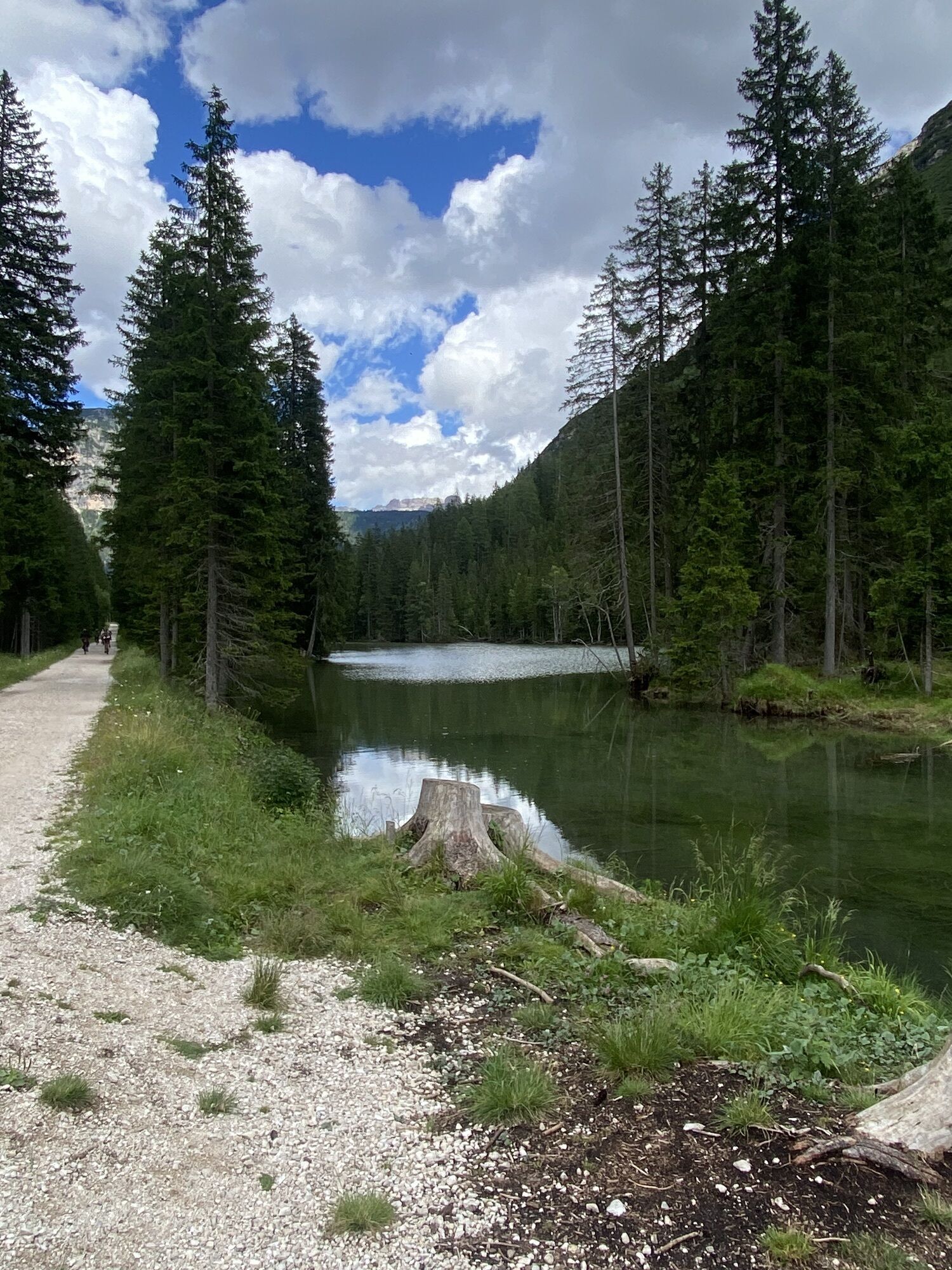
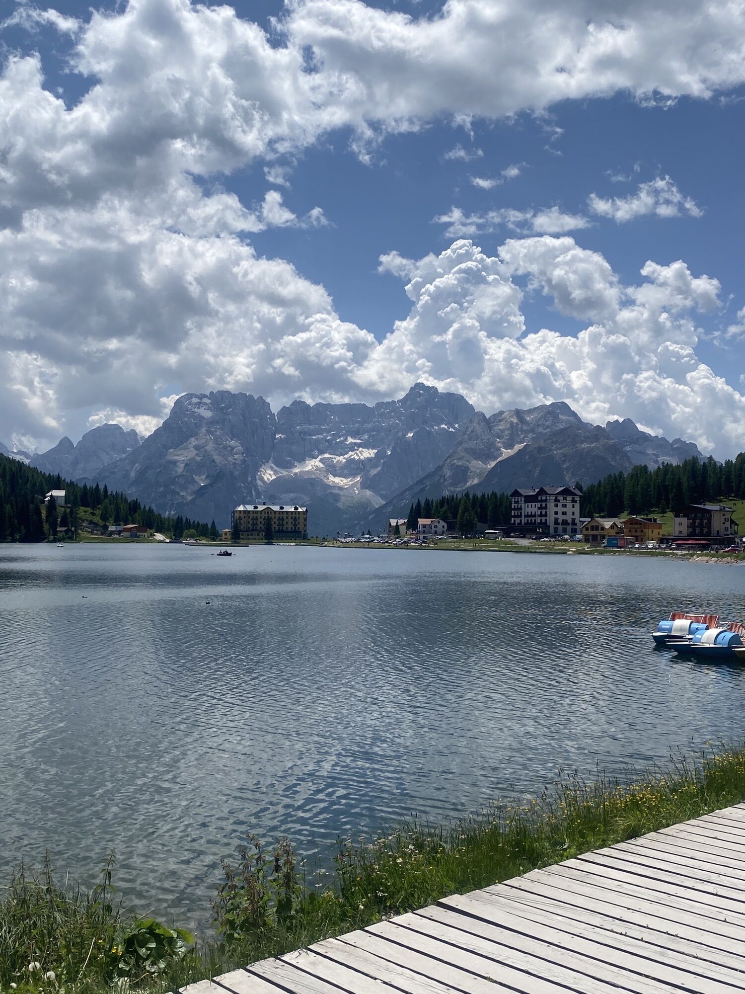
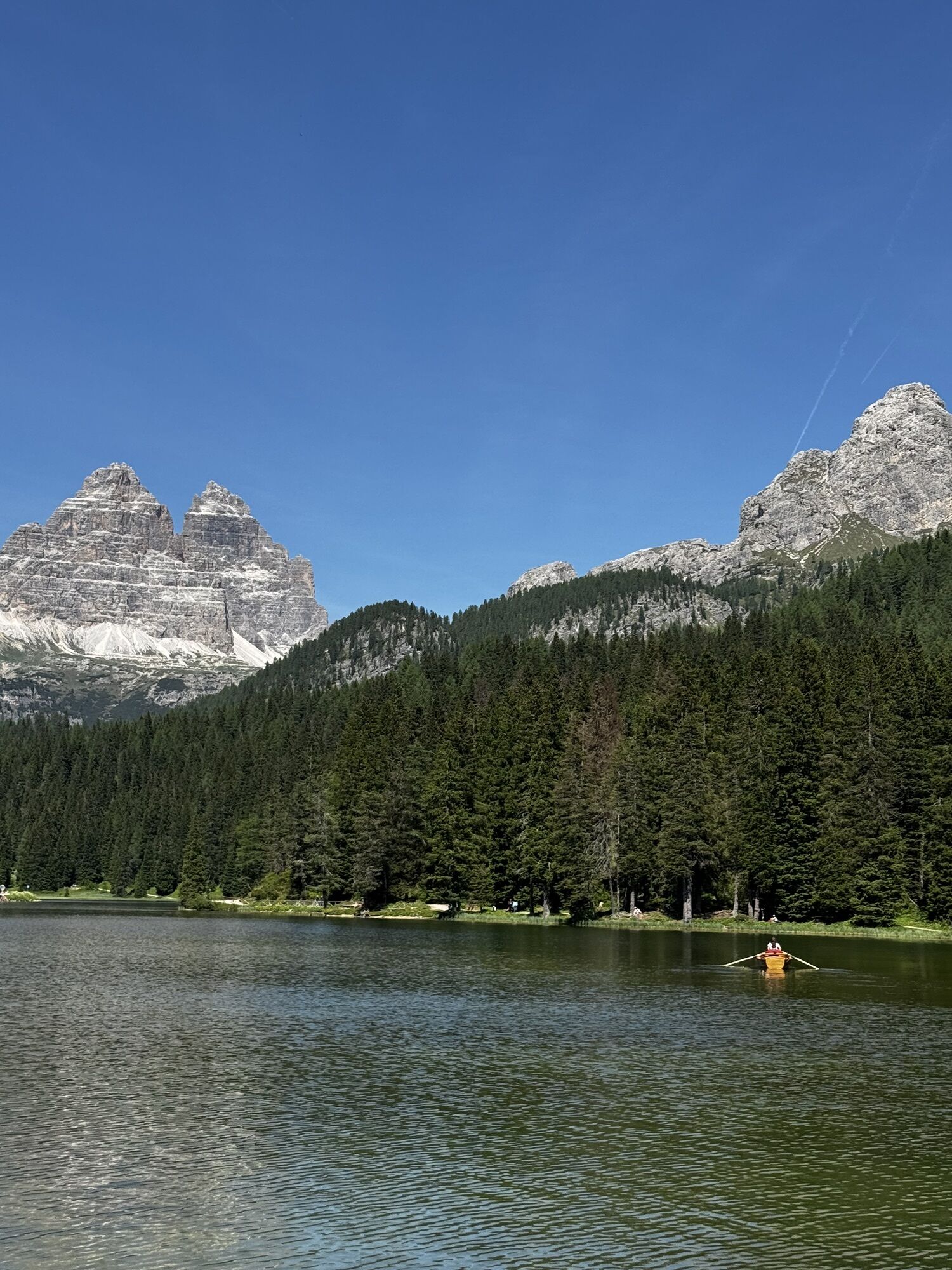
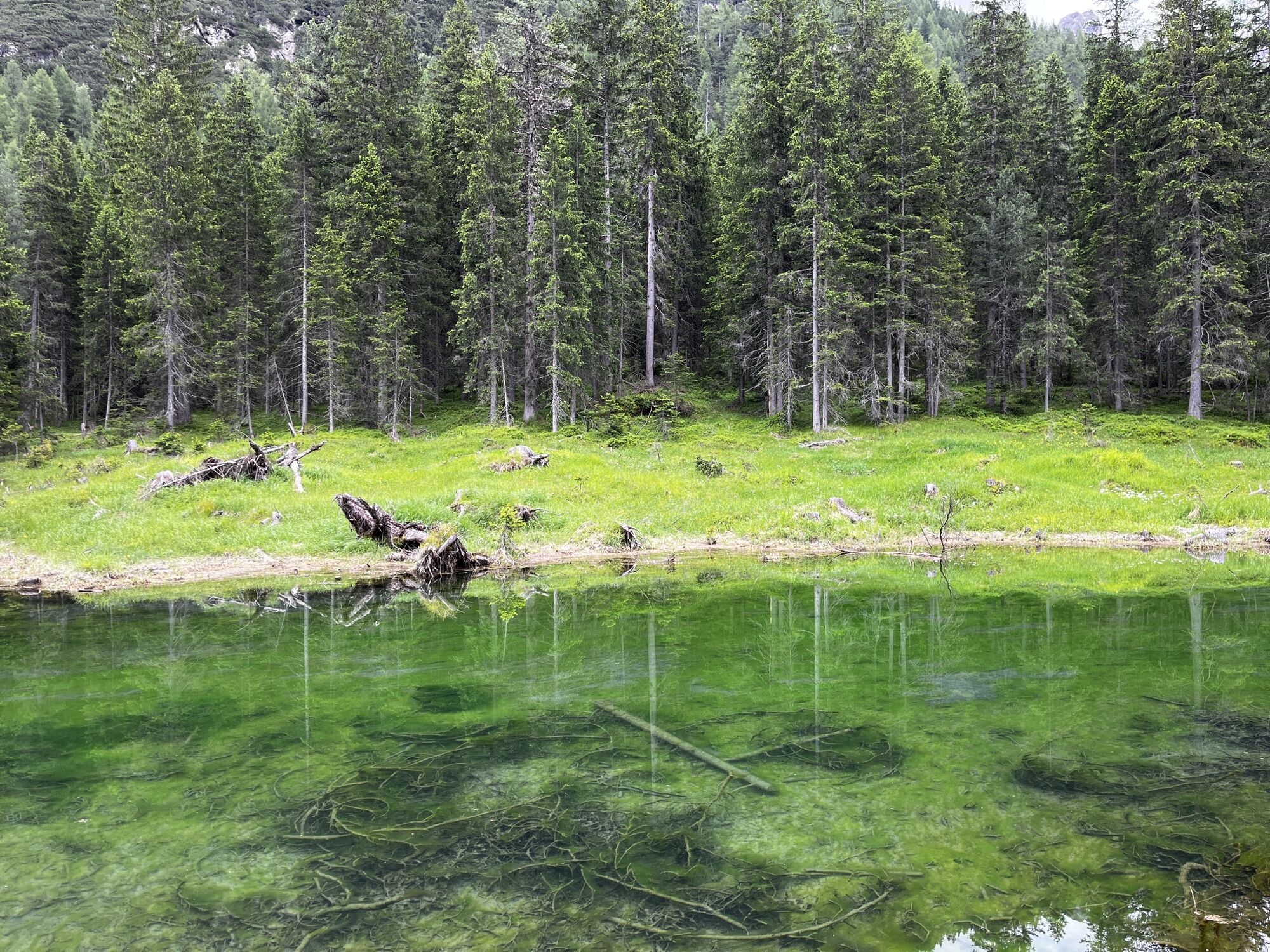
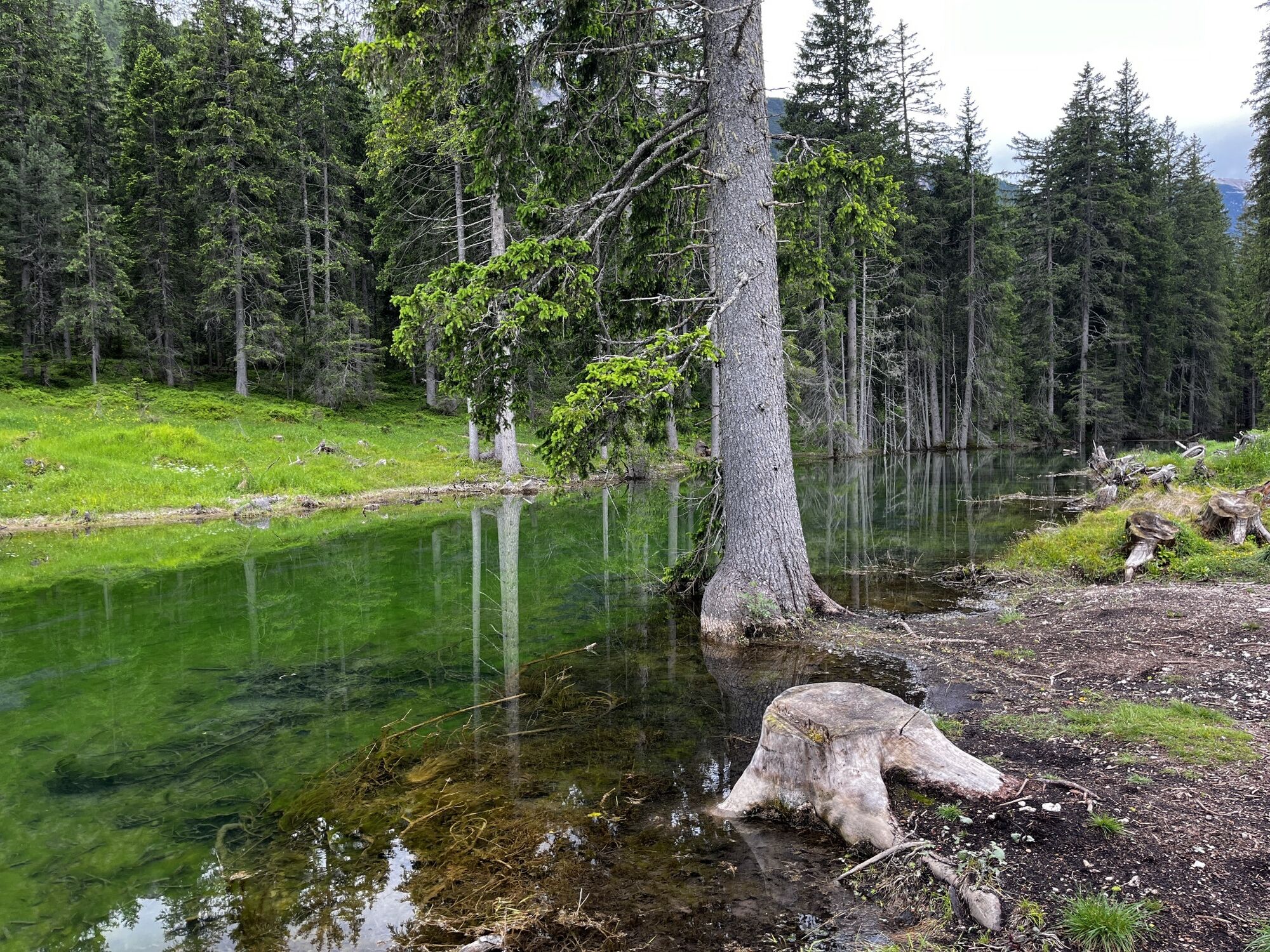
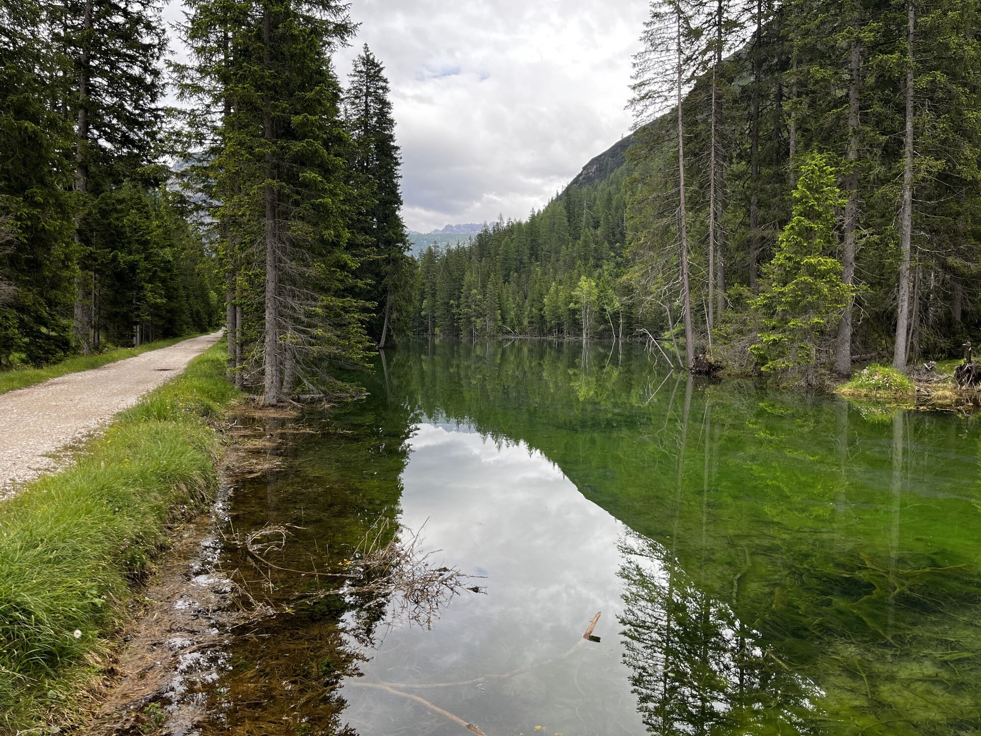
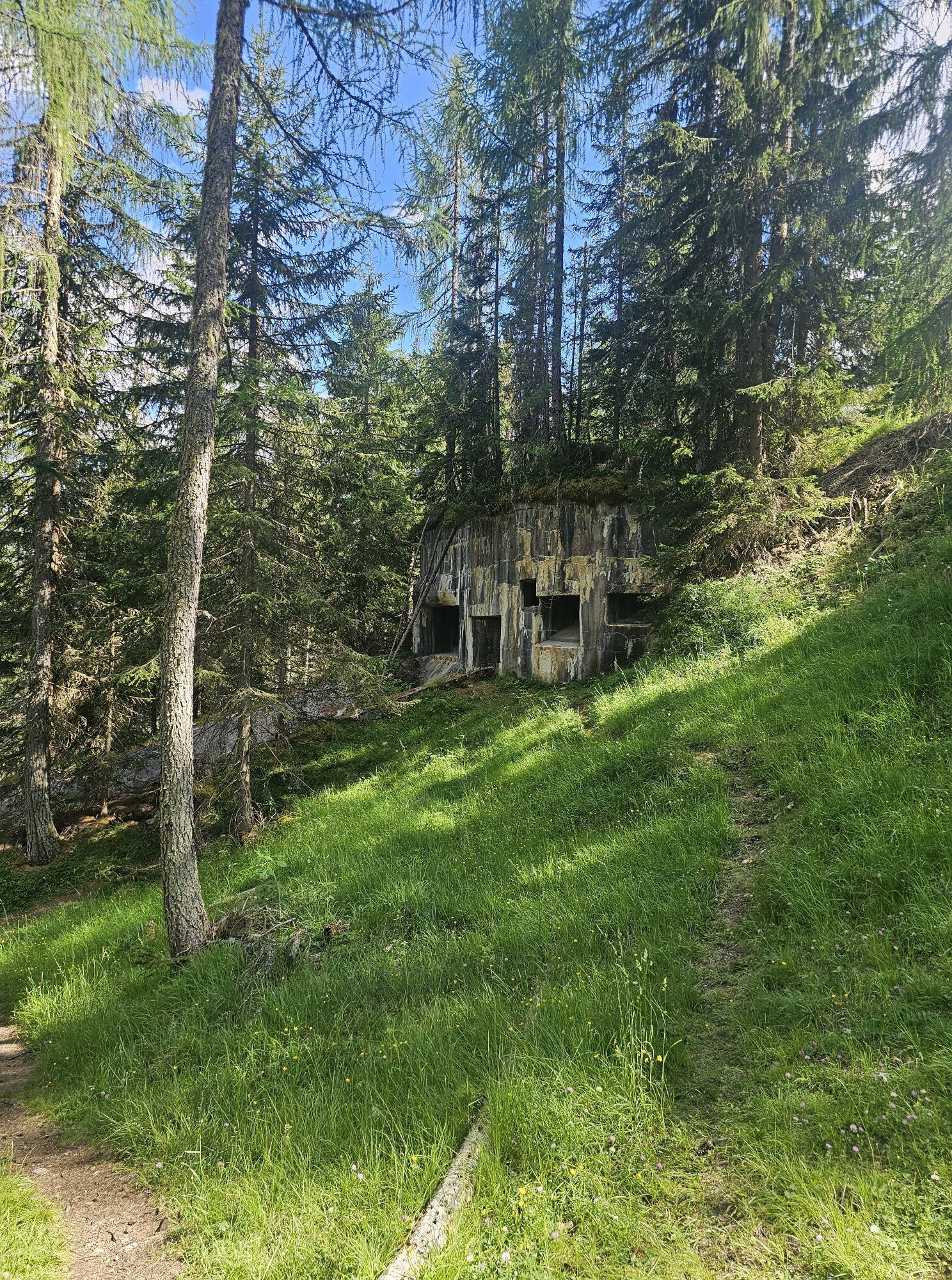
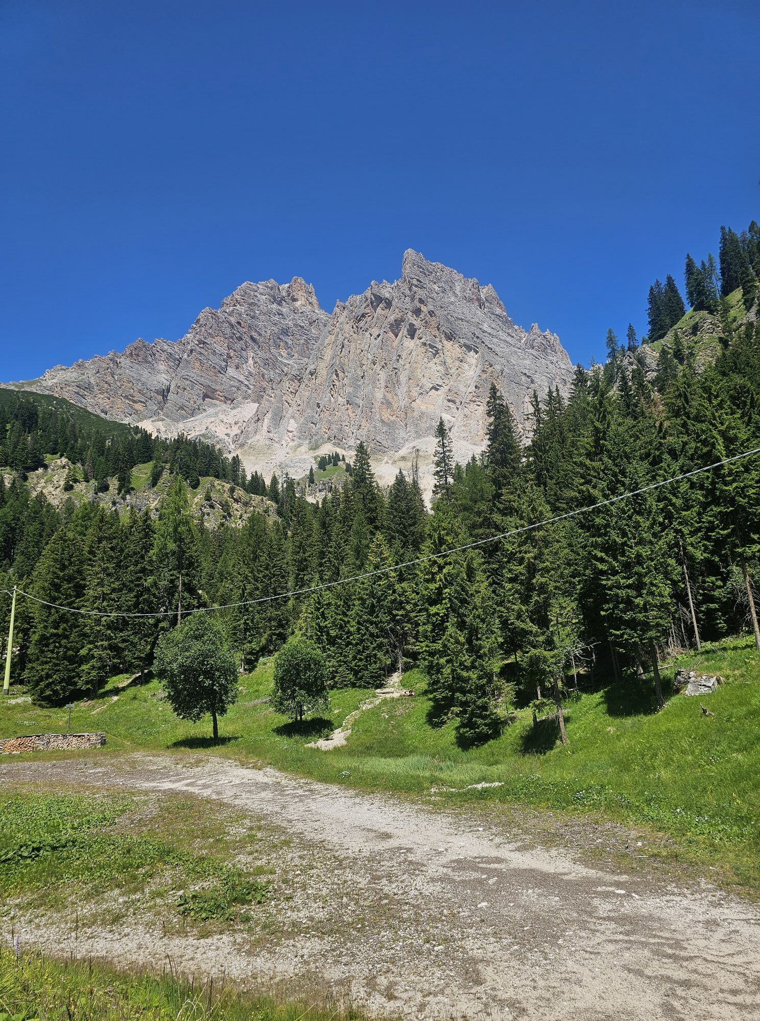
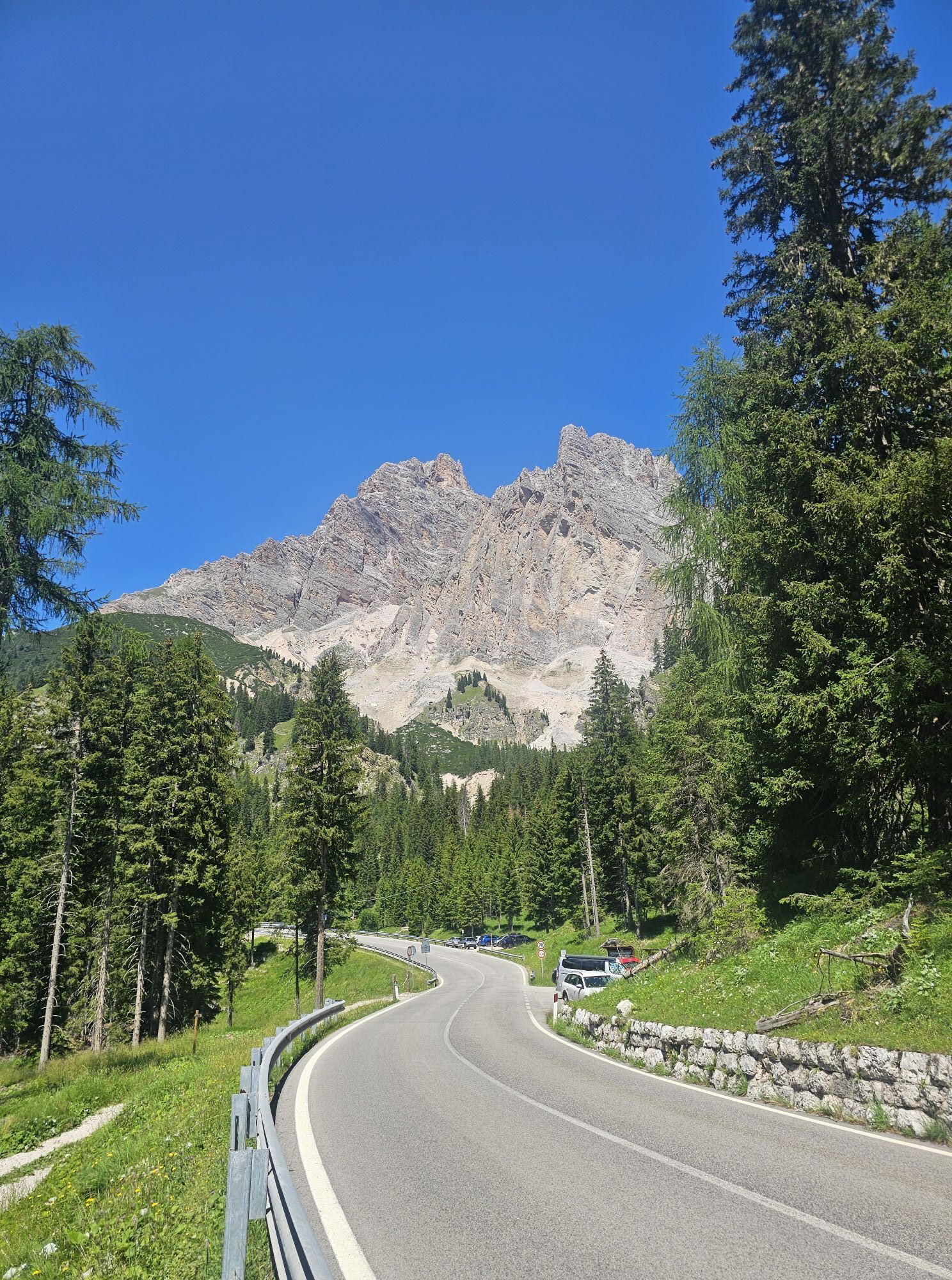
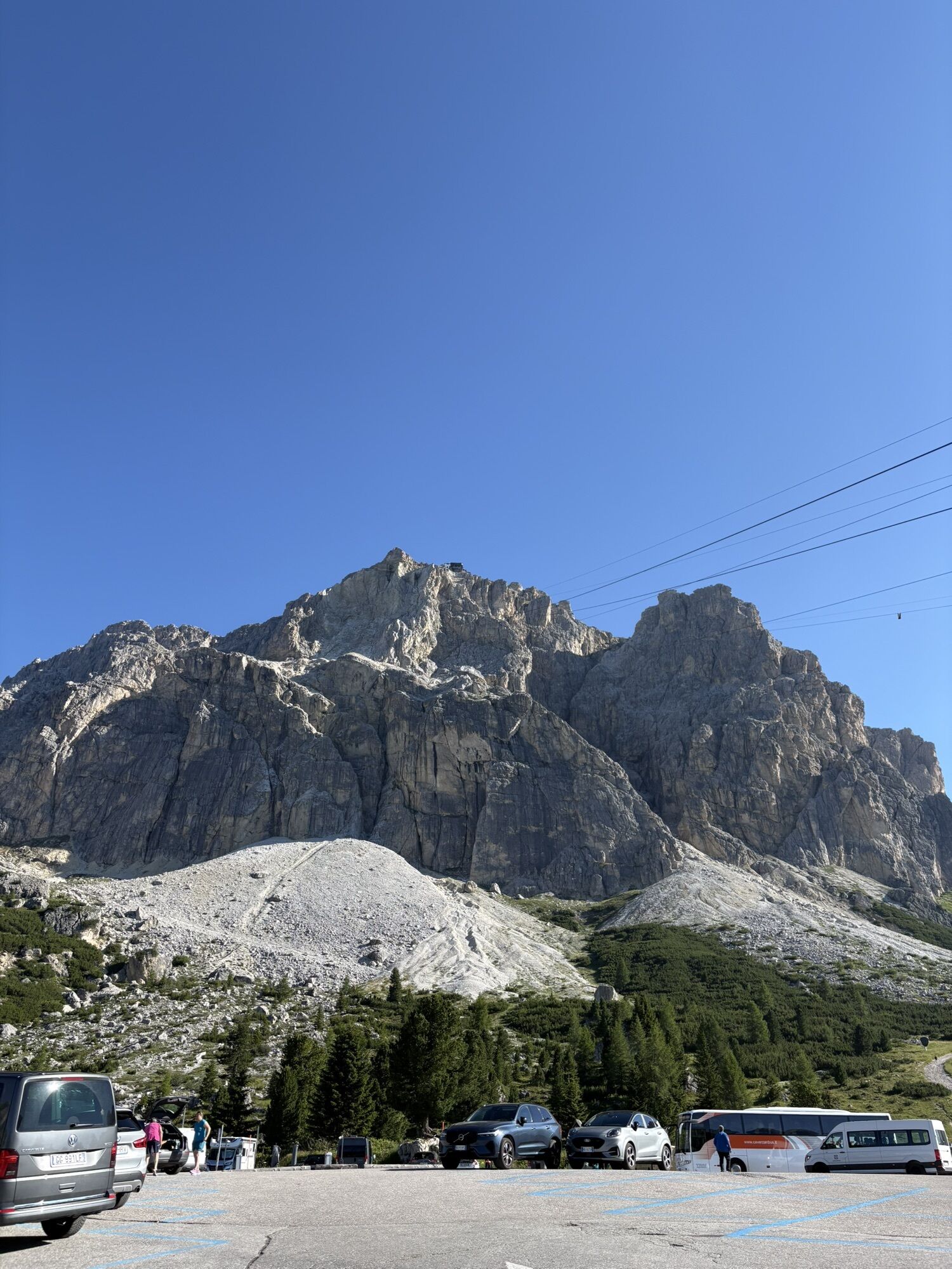
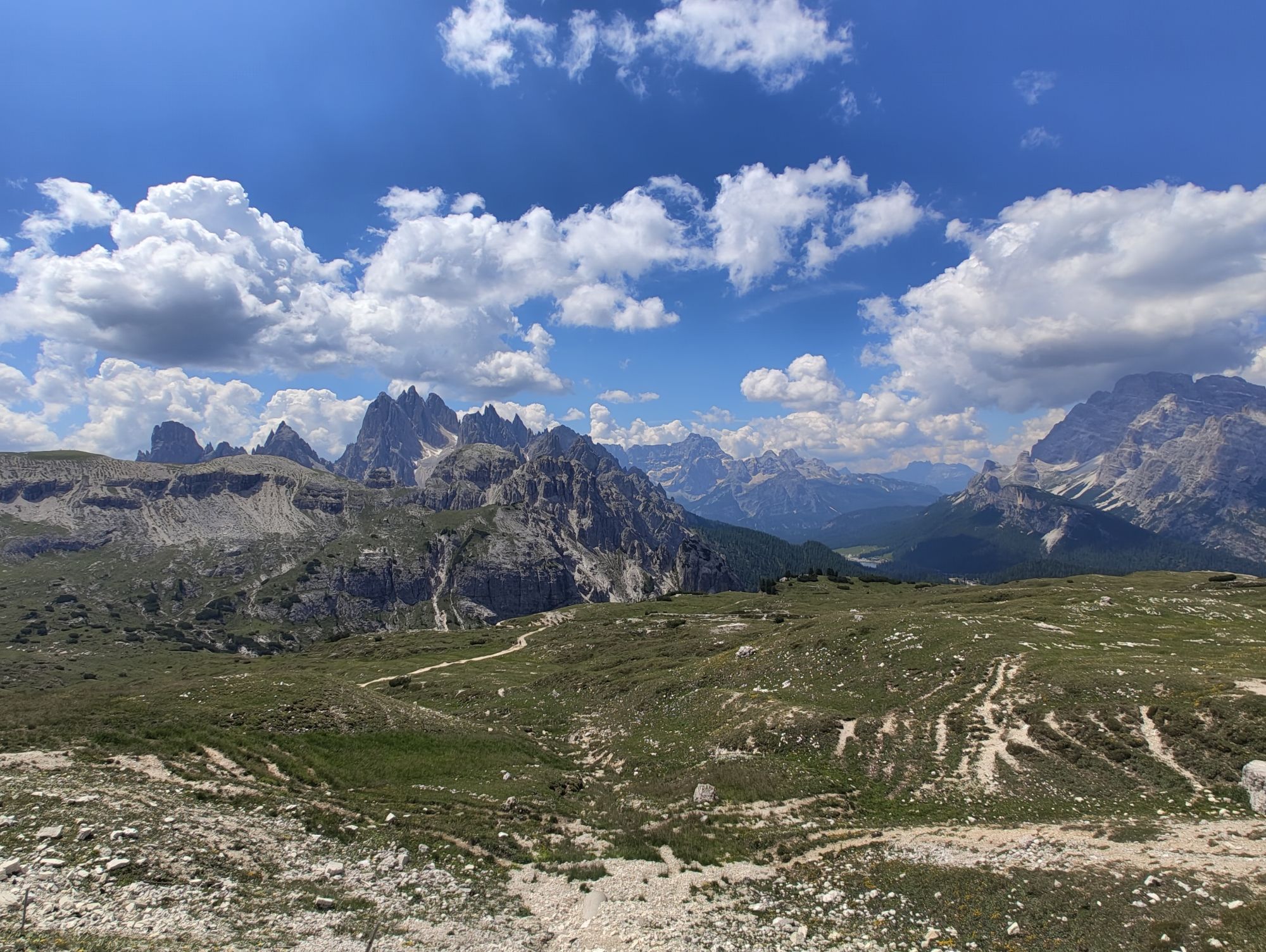
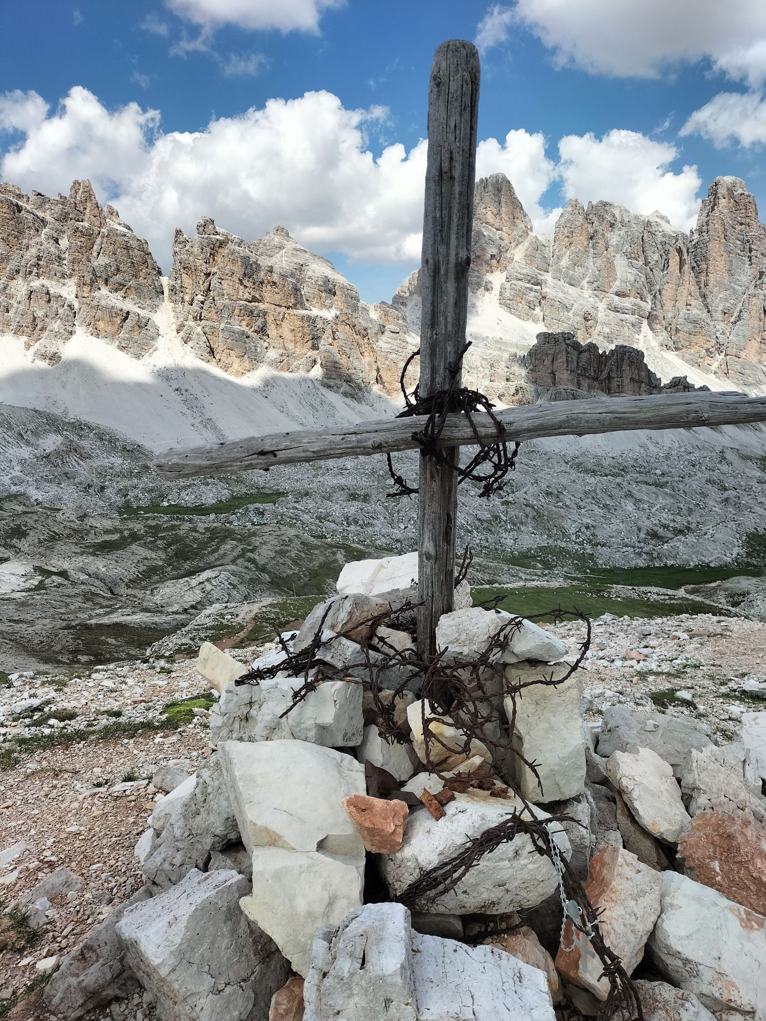
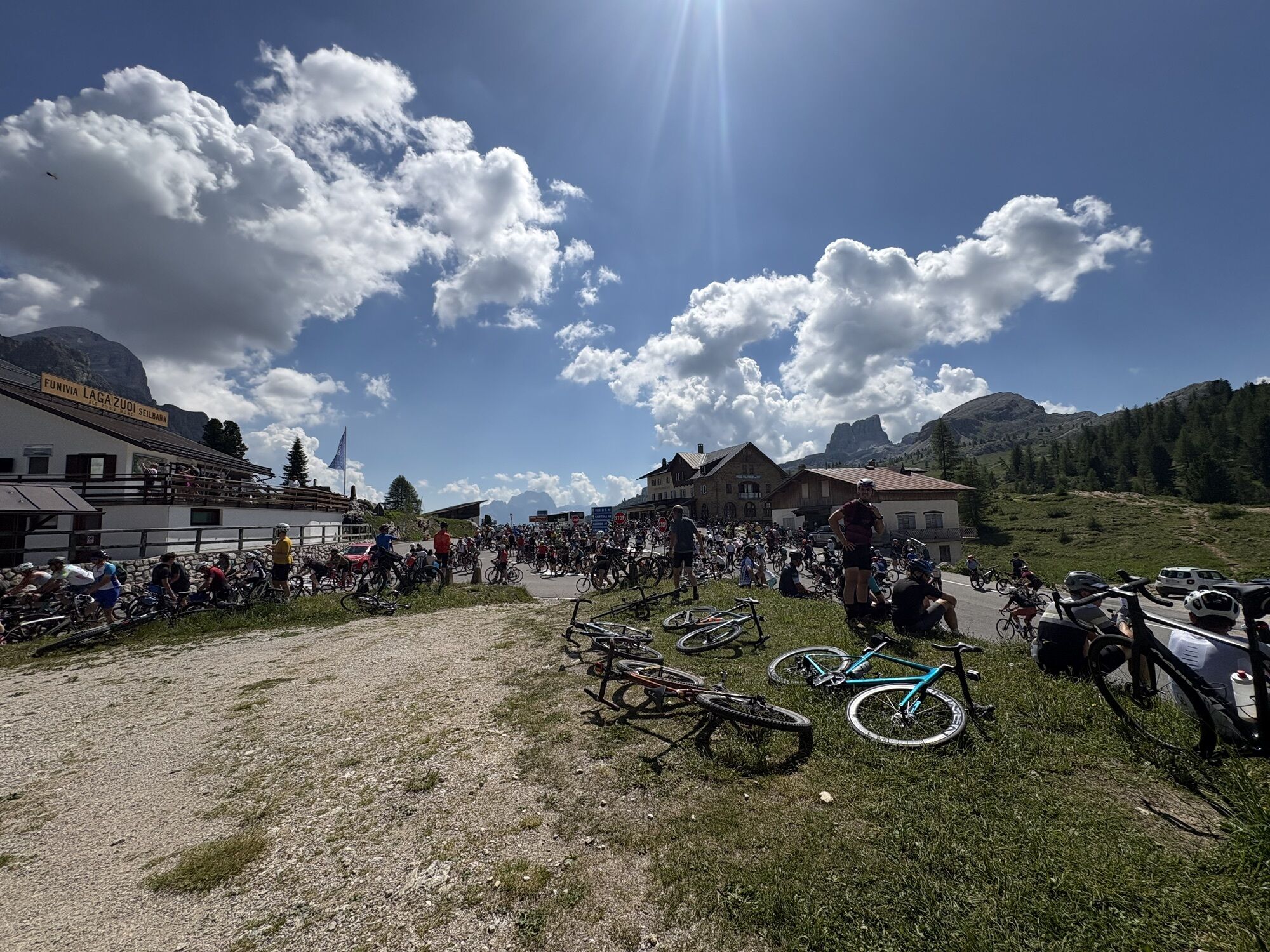
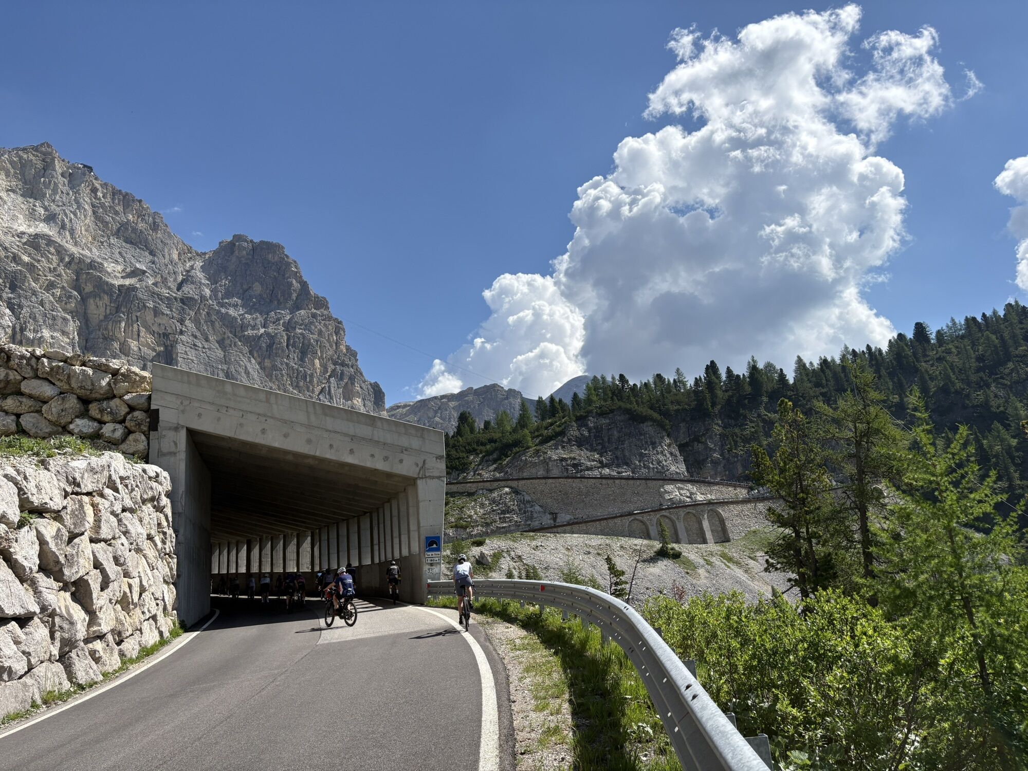
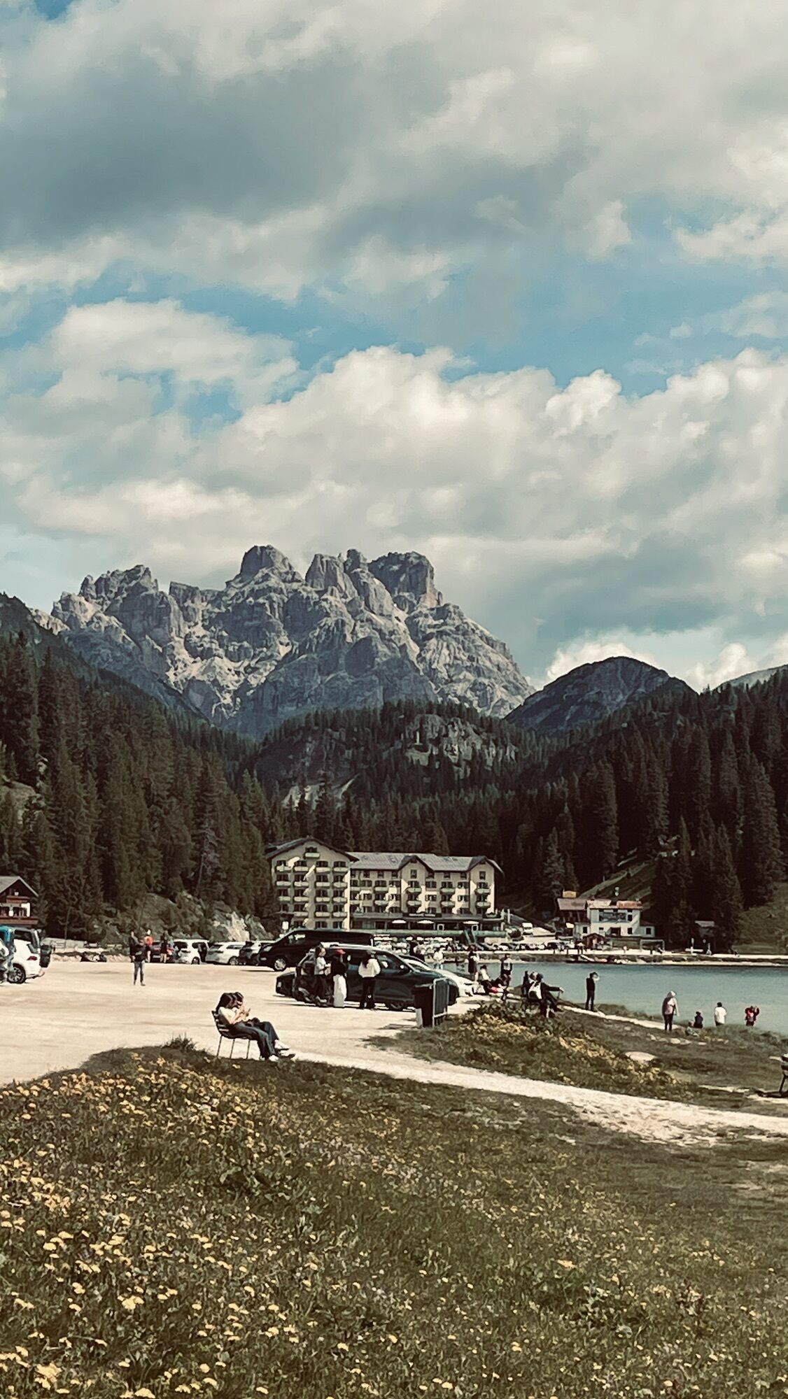
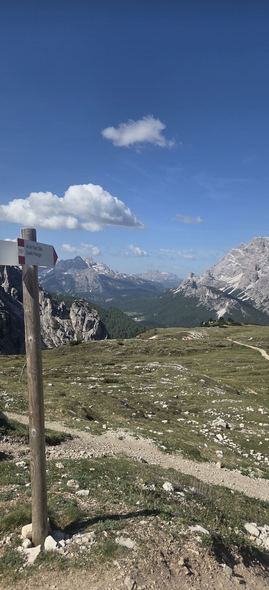
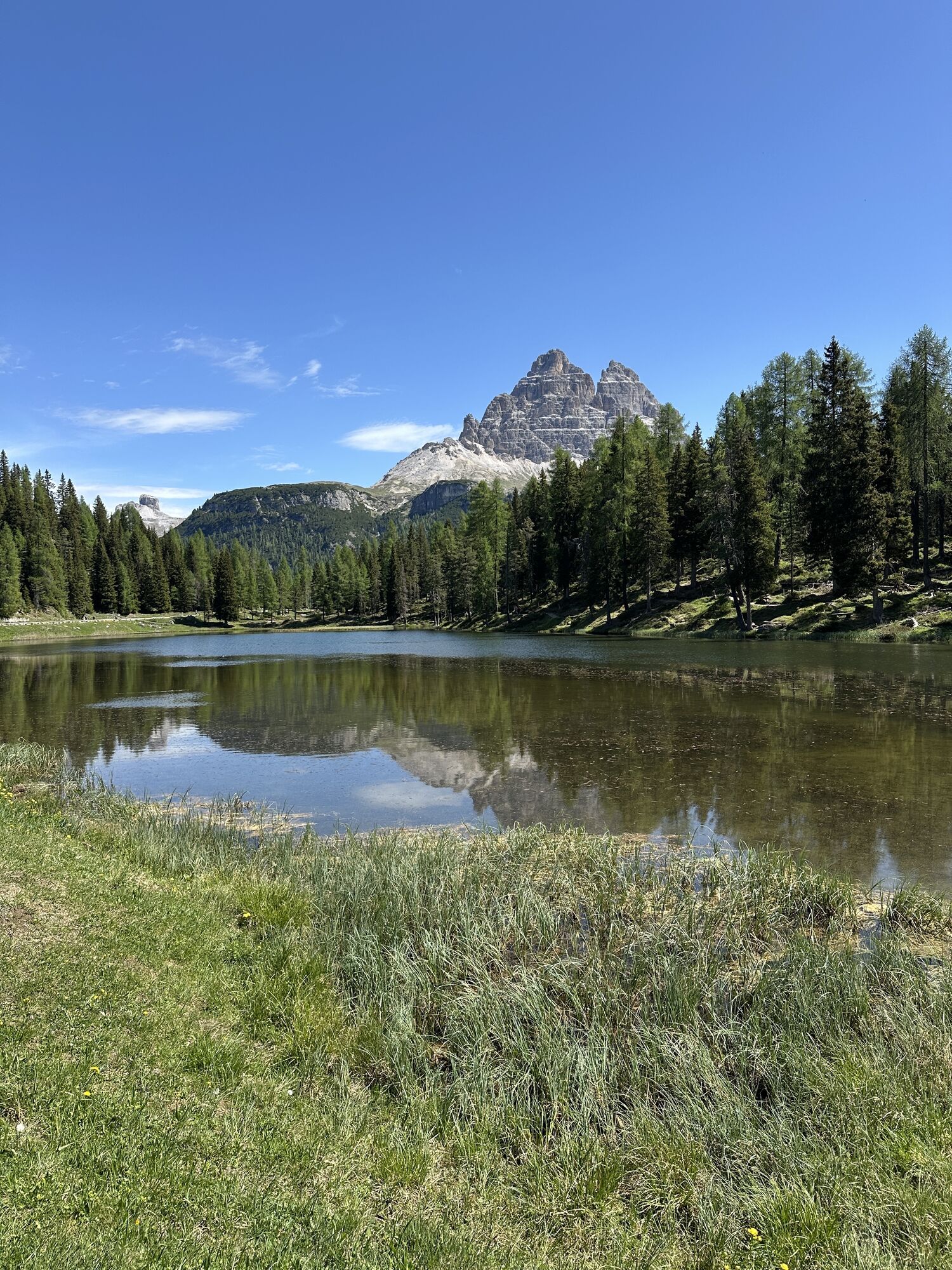
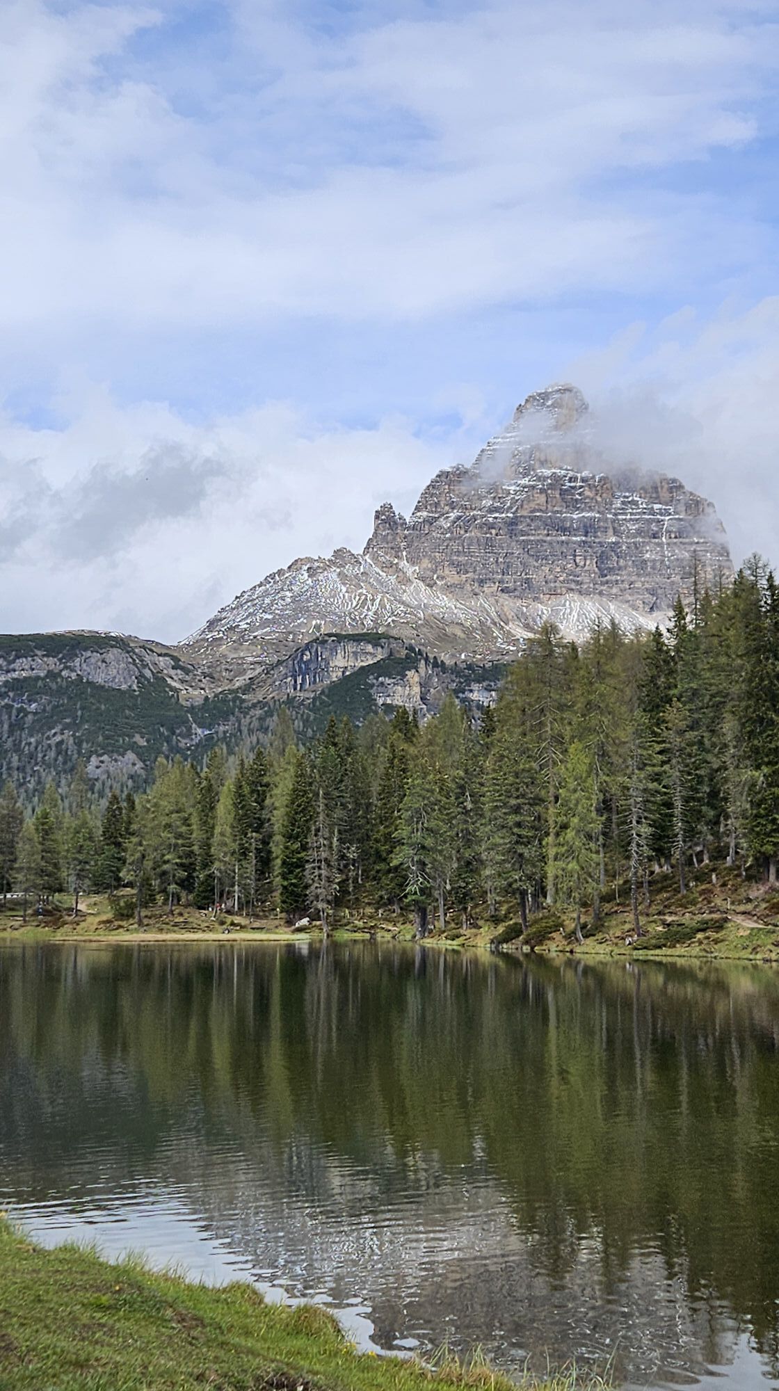
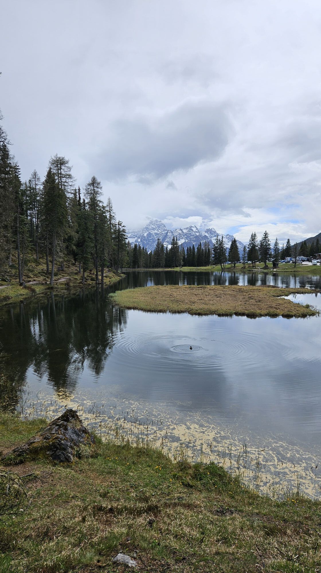
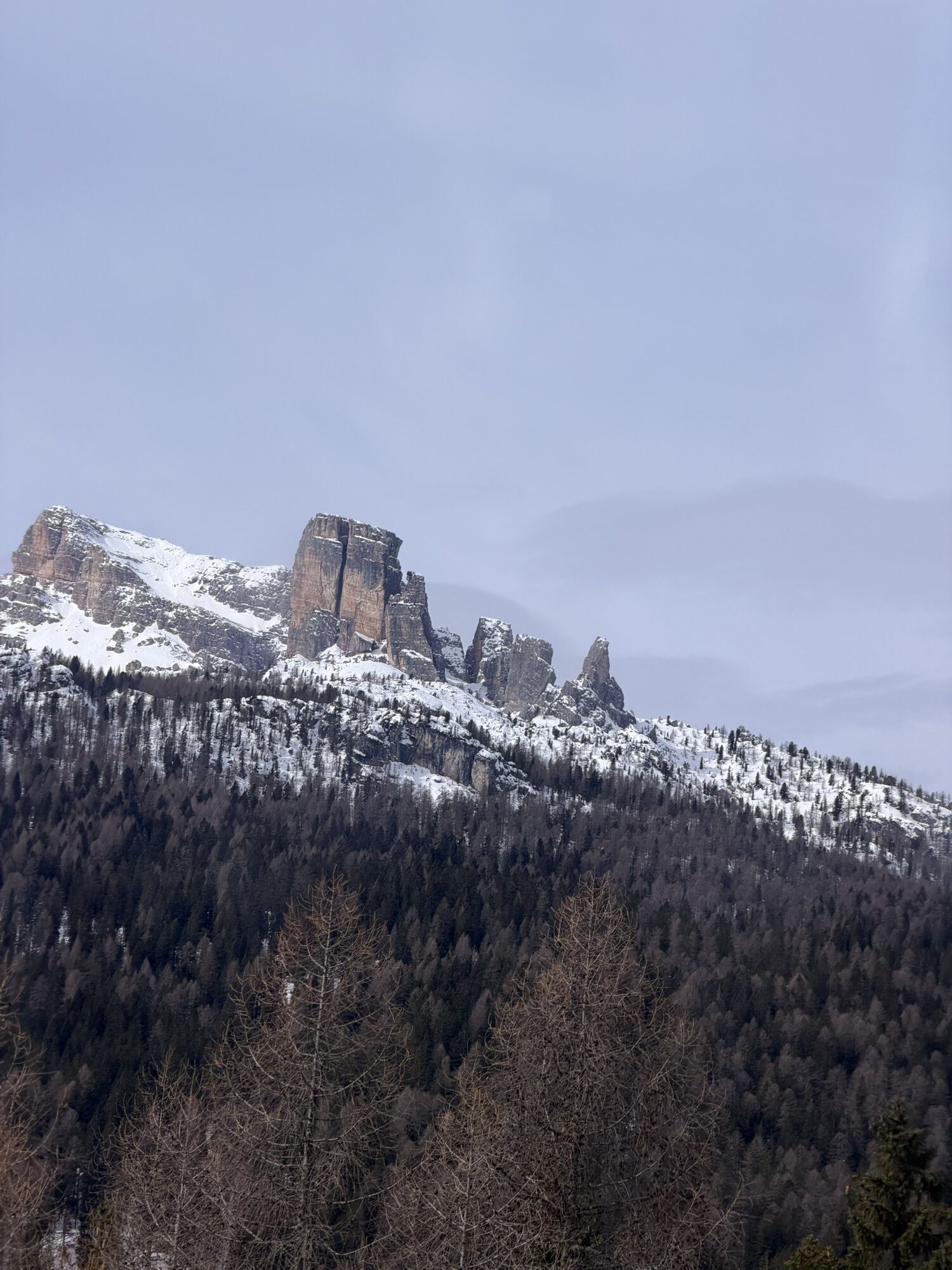
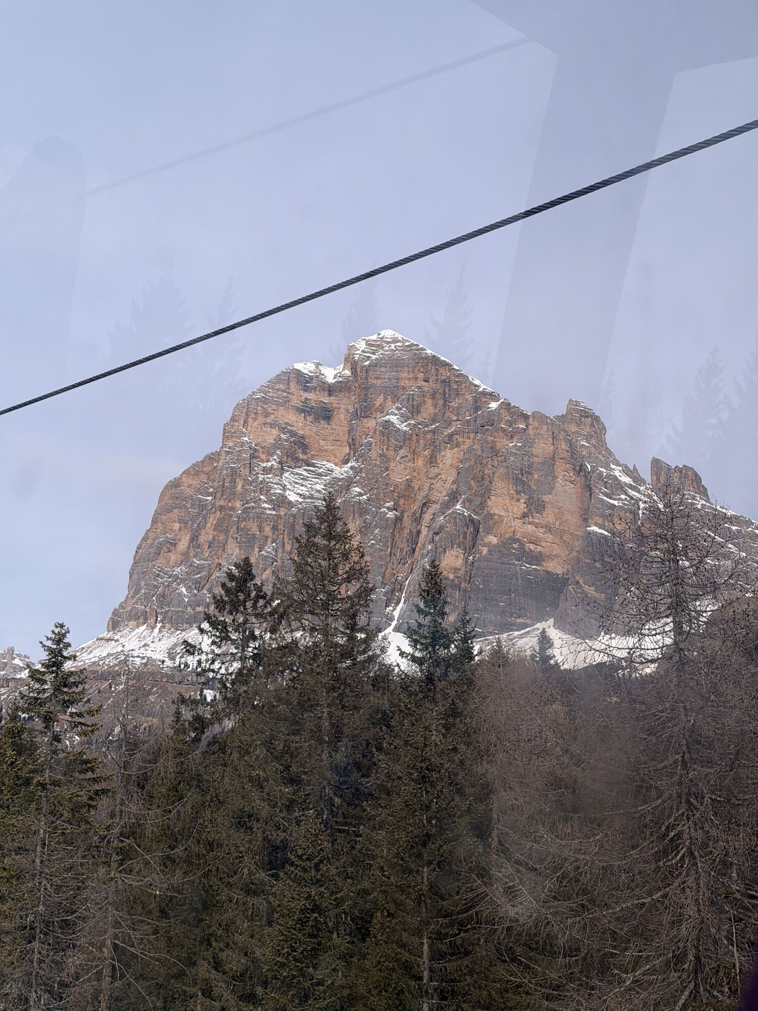
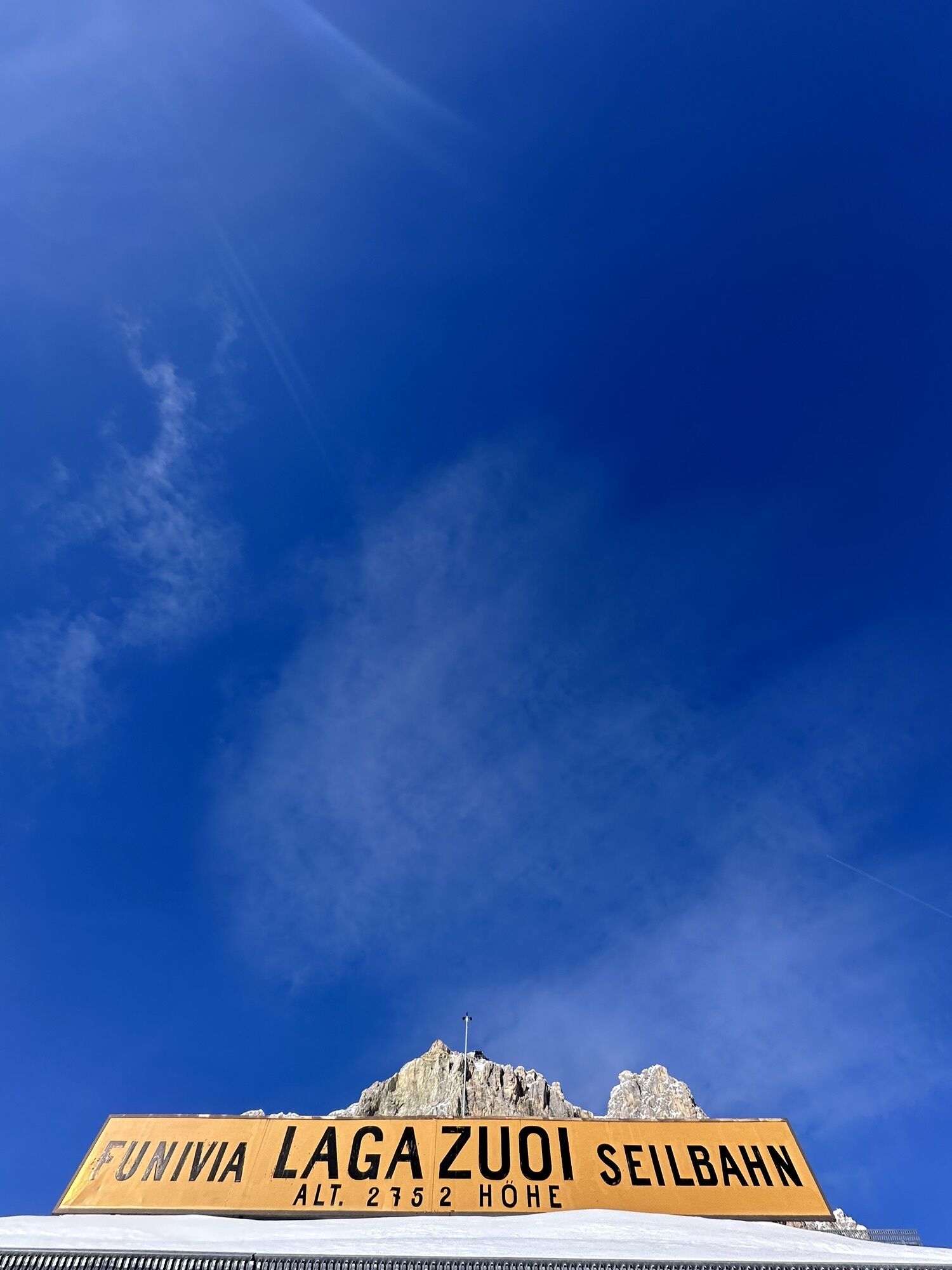
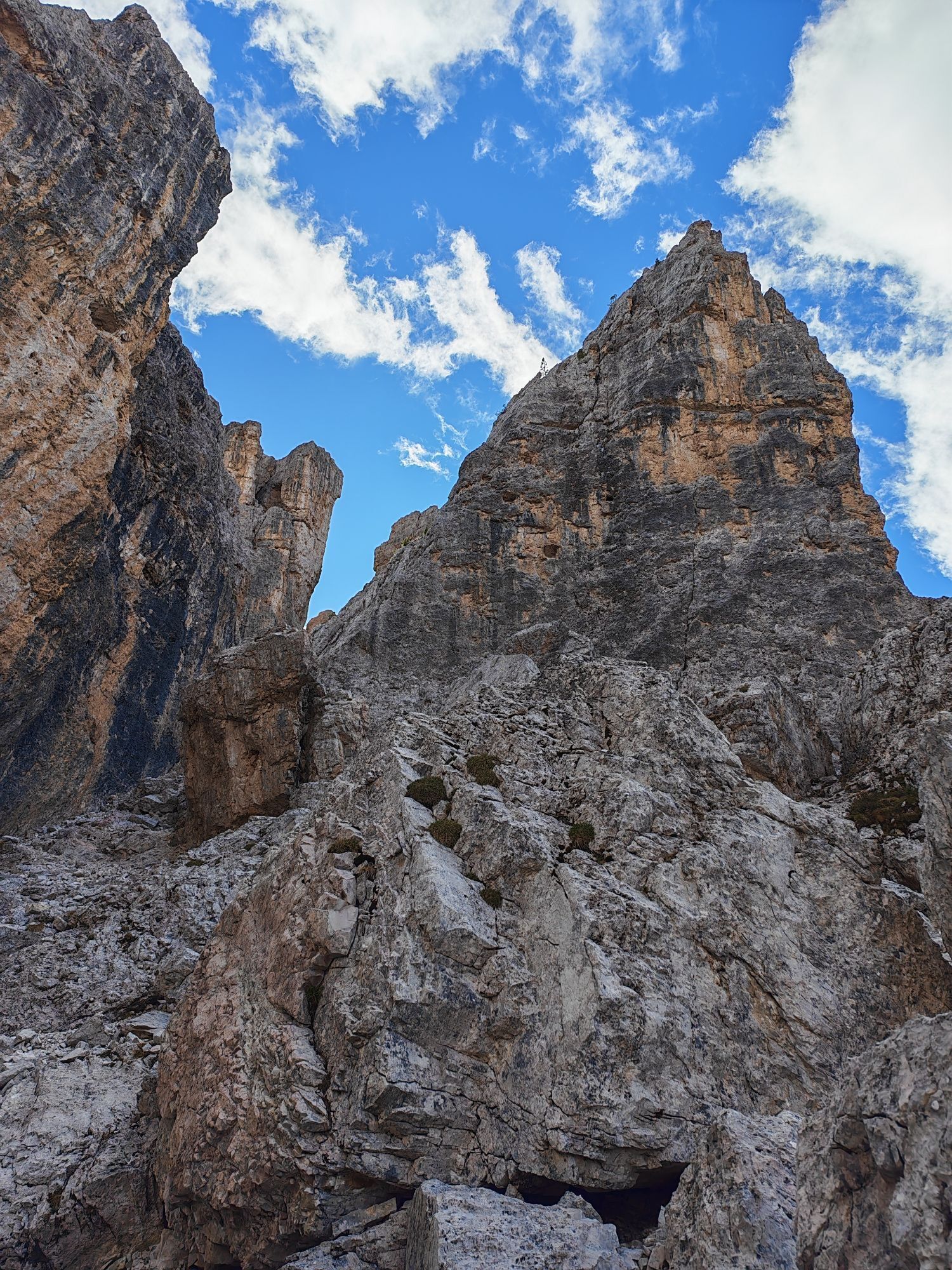
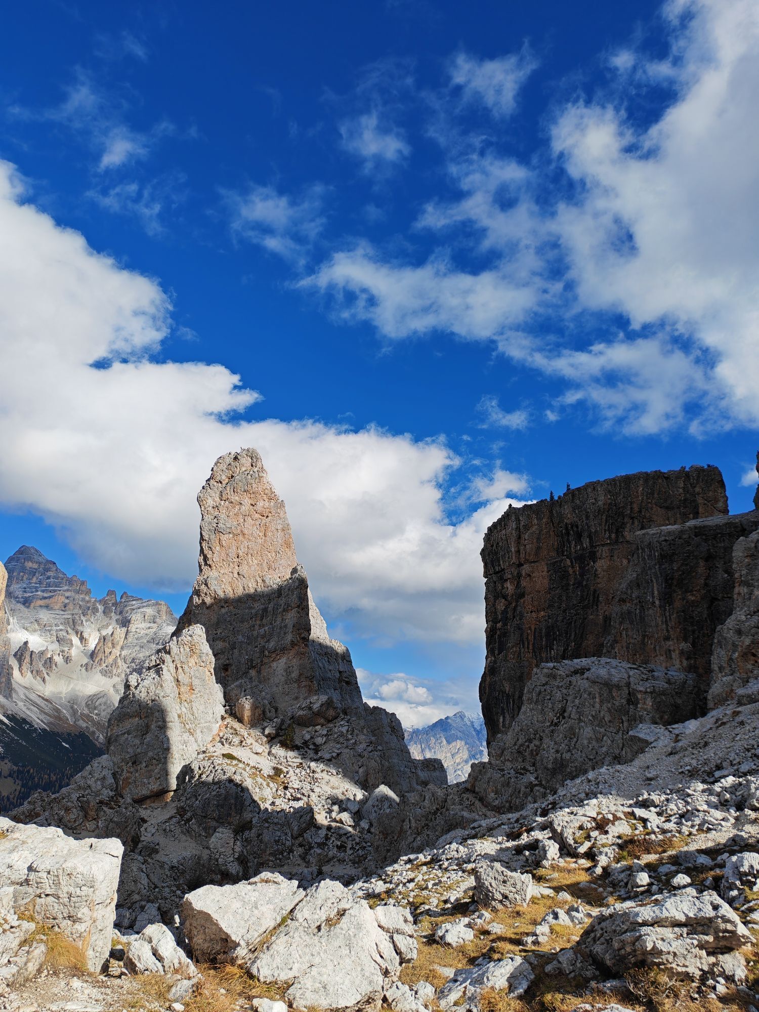
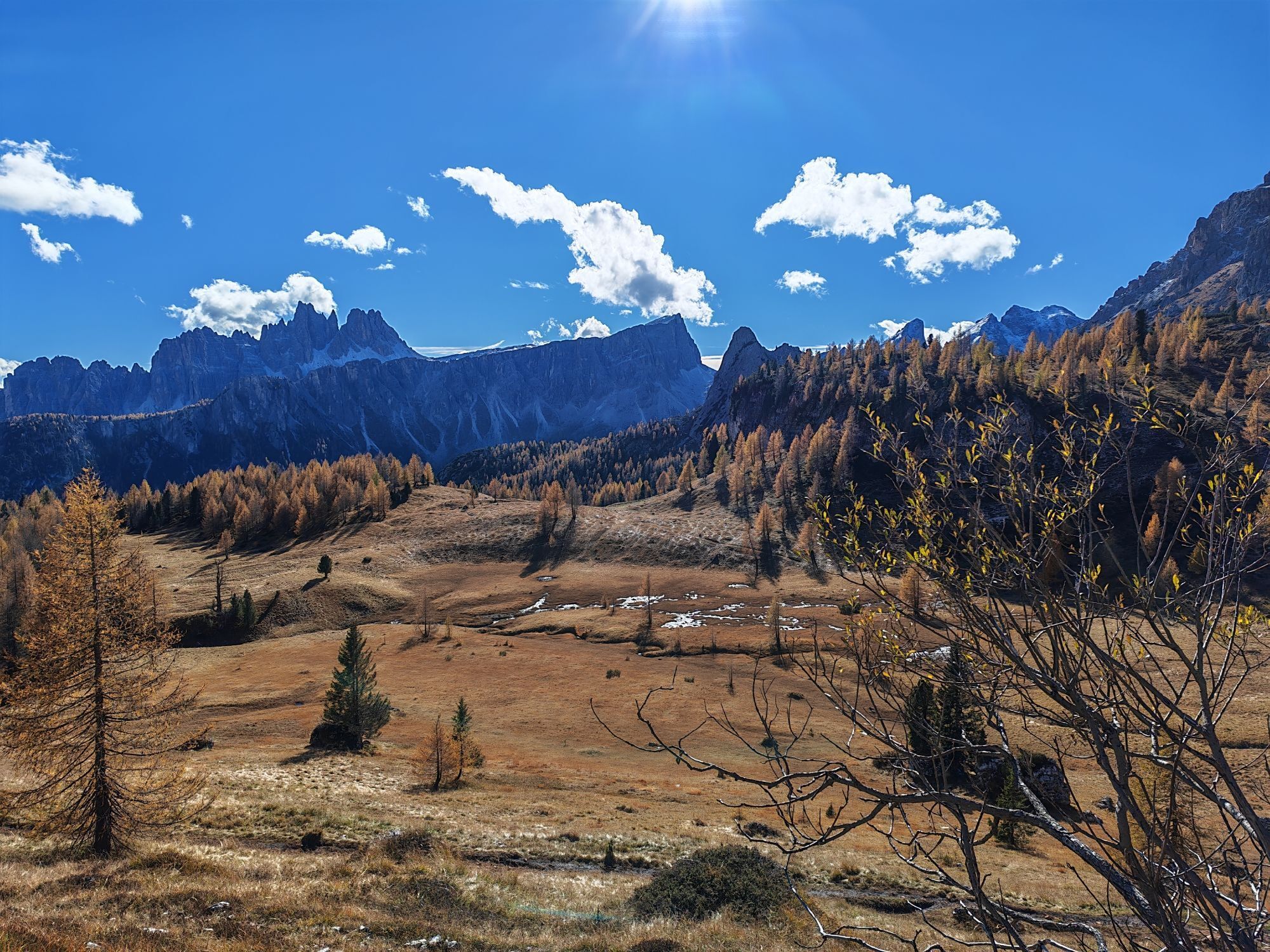
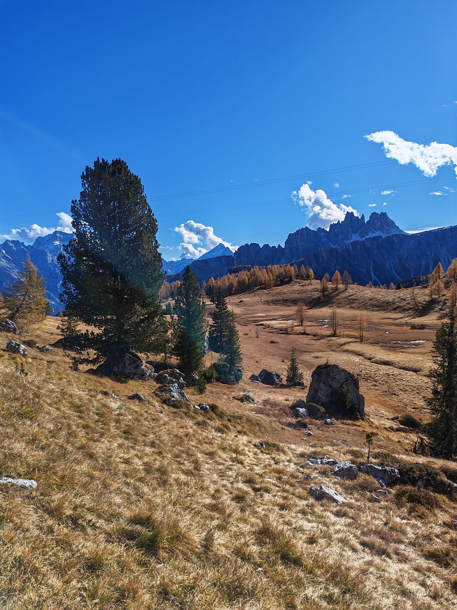
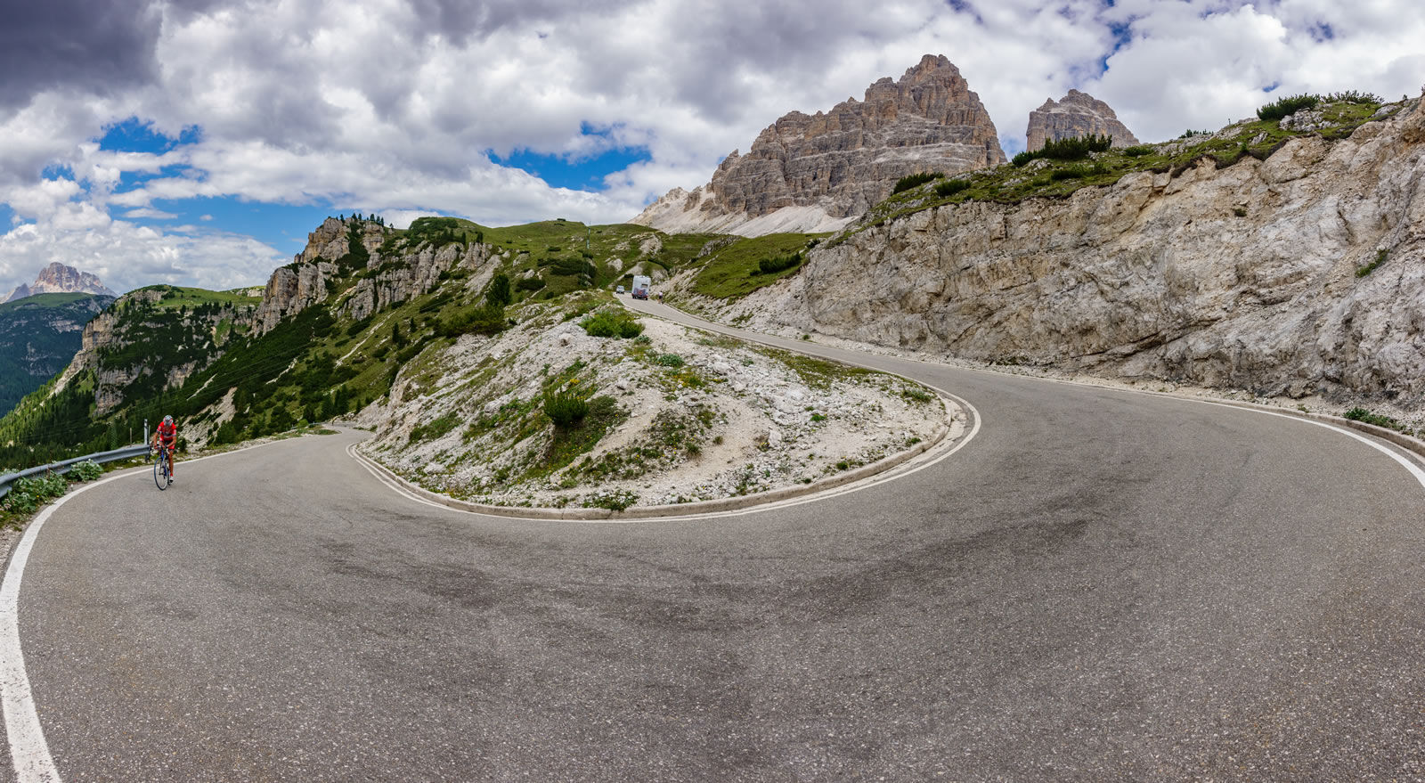
The climb of the Tre Cime di Lavaredo, a monument to the history of the Giro d’Italia.
This mountain should be approached with reverence and adequate physical preparation. Starting from Arabba, you will...
The climb of the Tre Cime di Lavaredo, a monument to the history of the Giro d’Italia.
This mountain should be approached with reverence and adequate physical preparation. Starting from Arabba, you will pedal towards the Passo Falzarego before descending towards Cortina d'Ampezzo, warming your legs in anticipation of the more challenging climbs.
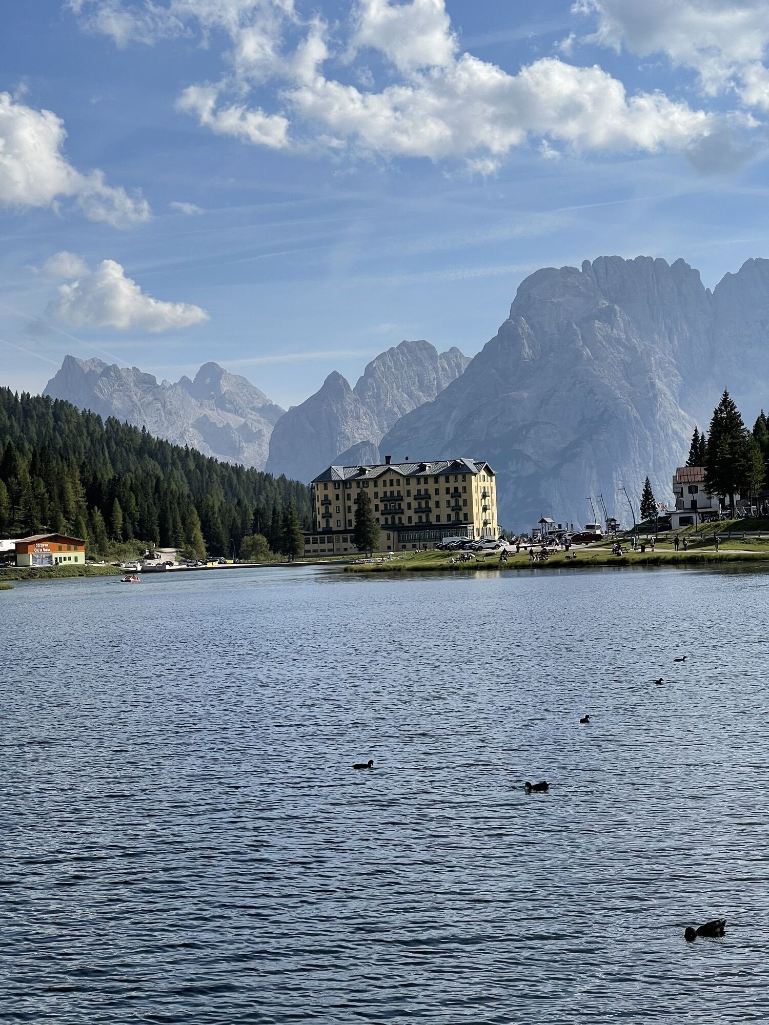
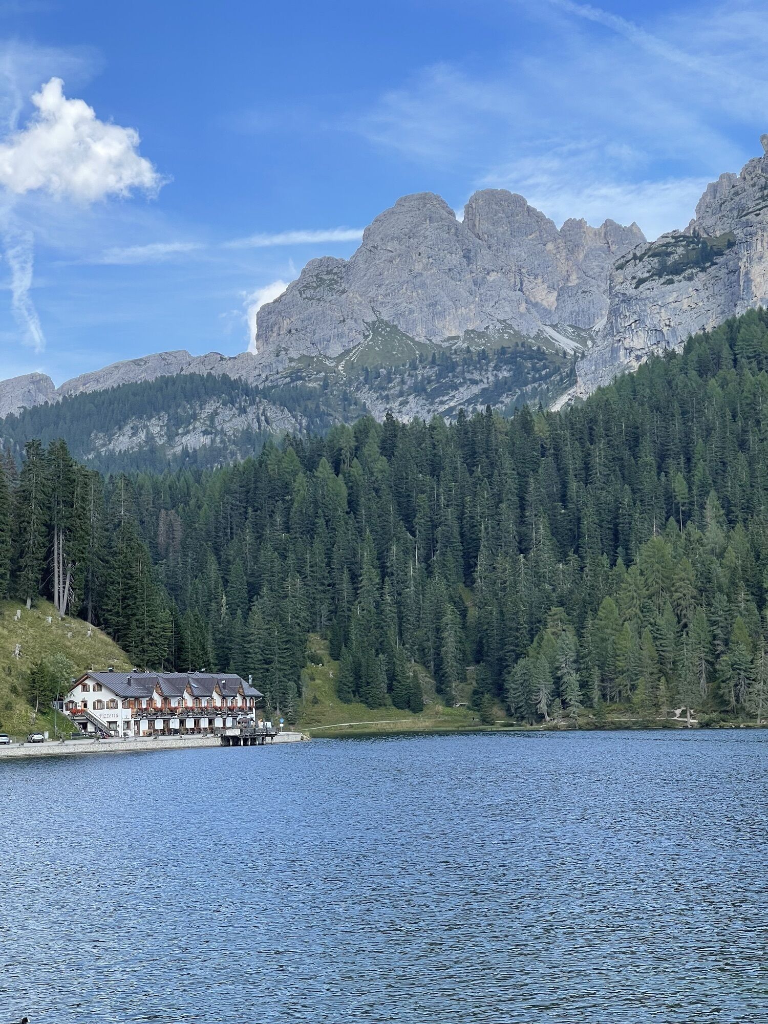
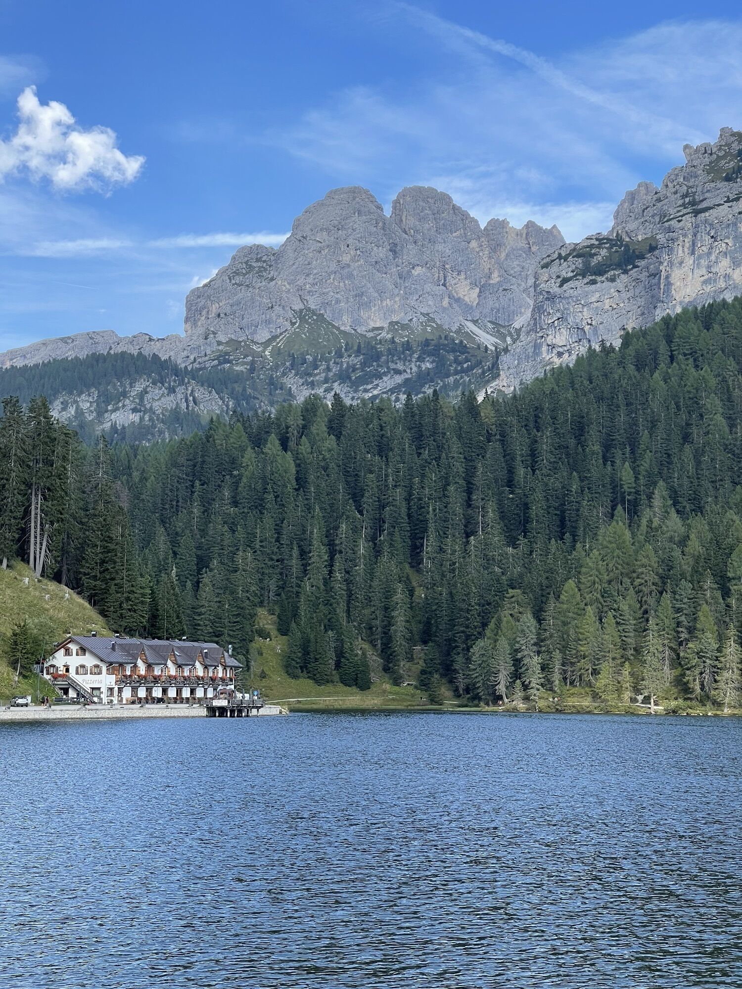
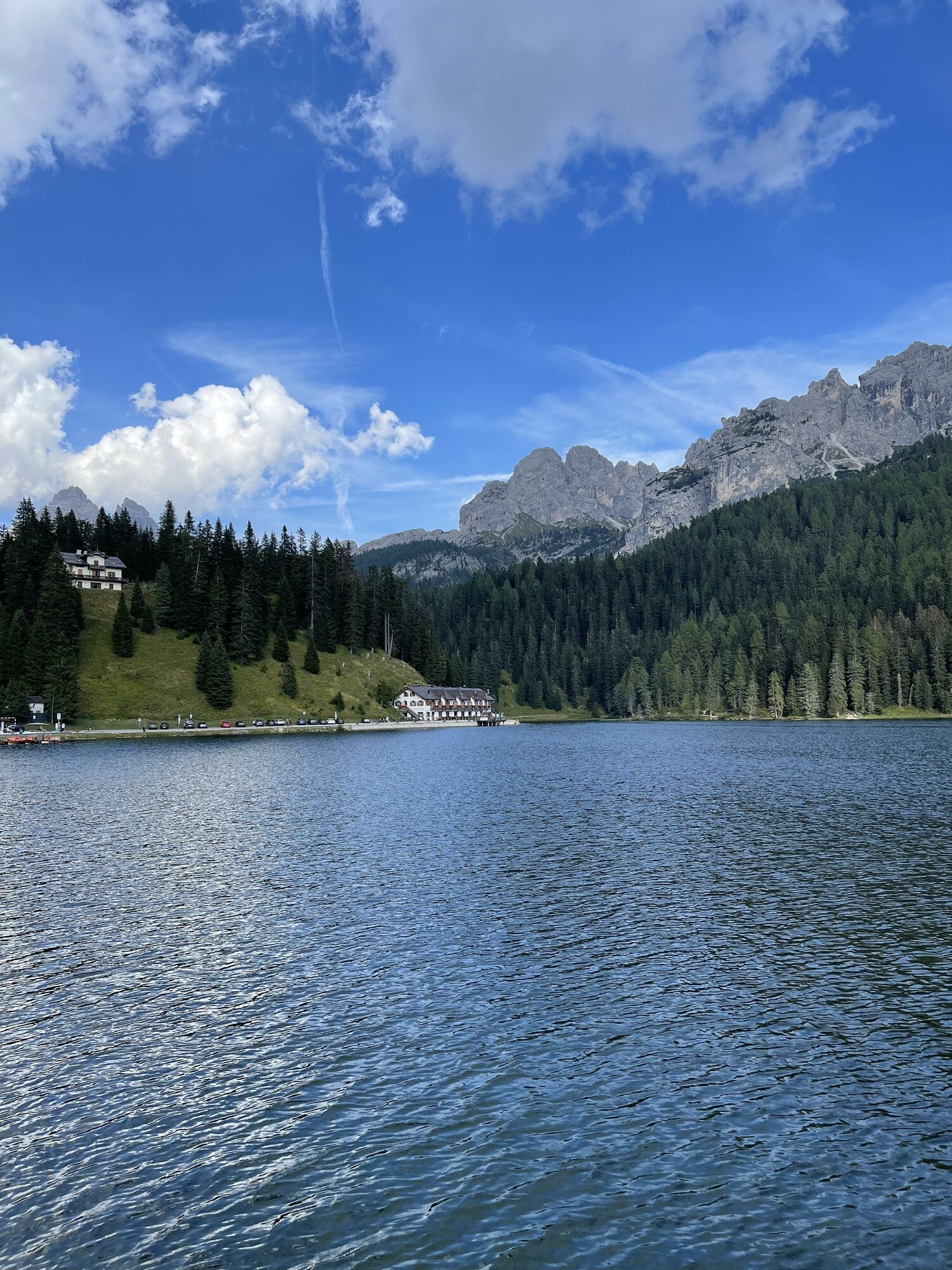
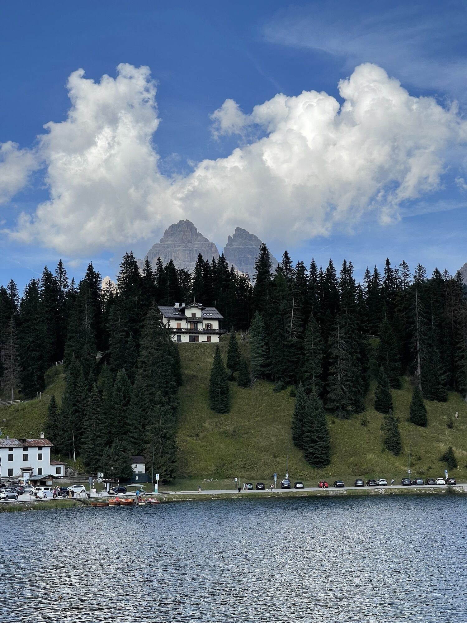
The first steep section is the Passo Tre Croci, an 8 km climb with a maximum gradient of 12%, leading towards Misurina and its lake. From here, you must take the private road near Lake Misurina, where you will climb for 7 km until reaching the Auronzo Refuge at 2,333 m elevation.
However, the real climb begins after the toll booth: 4 km, 700 m elevation gain, and an average gradient above 11%.
Returning to Arabba, you will climb the Passo Cimabanche and the Passo Falzarego, which, after facing two very challenging climbs and several kilometers, may represent the final obstacle before the finish.


Counterclockwise route: starting from Arabba, pedal towards Falzarego before descending towards Cortina d'Ampezzo, warming your legs in anticipation of more challenging climbs.
The first steep section is Passo Tre Croci, an 8 km climb with a maximum gradient of 12% leading toward Misurina and its lake. From here, you must take the private road near Lake "Misurina" where you will climb for 7 km until reaching the "Auronzo" Refuge at 2,333 m elevation.
However, the real climb starts after the toll booth: 4 km, 700 m elevation gain, and an average gradient above 11%.
Returning to Arabba, climb Passo Cimabanche and Passo Falzarego which, after tackling two very demanding climbs and several kilometers, may represent the last challenge before the finish.
Clockwise route: starting from Arabba, pedal towards Passo Falzarego before descending towards Cortina d'Ampezzo, warming your legs for the more challenging climbs.
From the center of Cortina, turn left and reach Passo Cimabanche, continue to "Carbonin" where you will find the junction for Passo Tre Croci.
Once you reach Misurina, known for its homonymous lake, turning left, climb the first tough switchbacks of the private road to the Tre Cime di Lavaredo, which after 7 km will take you to the "Auronzo" Refuge at 2,333 m. The real climb begins after the toll booth: 4 km, 700 m elevation gain, and average gradient above 11%.
After admiring up close the three famous towers, descend the same way and after a short break on the shores of Lake "Misurina", continue descending Passo Tre Croci which will bring you back to Cortina.
After strolling through the center, the last effort of the day awaits: Passo Falzarego. With a rideable climb you will reach the summit, from where you will descend to "Cernadoi" where you will meet the junction with Dolomiti Road No. 48, a pleasant up-and-down that will bring you back to Arabba.
Da
The cyclist's kit:
spare inner tube patches for inner tube repair inflator and CO2 cartridges tire lever mini pump "inflate and repair" spray can multitool kit chain breaker money insect bite sticks food (energy bars, snacks, dried fruit, fruit) mobile phone (store useful local and emergency numbers and health information) bottles (one with water, one with water + mineral salts) gloves helmet bandana under helmet anti-glare glasses wind and rainproof k-wayThe roads are open to car traffic; it is advised to moderate your speed according to your abilities and out of respect for other users and road regulations.
Always tell someone where you are headed and the approximate duration of the excursion.
In case of emergency, the phone numbers are 112 or 118 (ambulance).
By car
From Innsbruck, Brenner Highway A22 to the Bressanone tollbooth, then continue through the Pusteria Valley, Badia Valley, and Campolongo Pass. From Verona/Milan, Brenner Highway A22 to the Egna Ora tollbooth, then continue through the Fiemme Valley, Fassa Valley, Pordoi Pass, and Arabba. From Venice, Highway A27 Belluno exit, follow the Agordina 203 to Agordo, Caprile, and Arabba.By train
Nearest train stations:
Belluno - 70 km Brunico - 48 km Waidbruck/Ponte Gardena - 51 kmBy bus
Brunico - 47 km connection via SAD line www.sad.it Belluno – 70 km connection via Dolomitibus line www.dolomitibus.itBy plane
Venice Treviso/Venice Marco Polo – 160/170 km Innsbruck - 140 km Verona – 270 km Milan Bergamo/Milan Malpensa - 310/400 kmBefore departing, we recommend checking the weather, which changes rapidly in the mountains, and the conditions of the route.
A short refreshment break is recommended at the top of the various Passes to admire the splendid panorama of the Dolomites.
Spletne kamere s turneje
-
Bigontina - Mt. Cristallo
-
Punta Nera
-
Ra Valles
-
Arabba - Bec de Roces
-
Arabba - Porta Vescovo
-
Pordoi - Pass
-
Cortina Franchetti Faloria
-
Boé
-
Vitelli - Bergstation
-
Sessellift Padeon-Sonforca
-
Pordoi - Pass
-
Drei Zinnenblick
-
Sessellift Padeon-Sonforca
-
Rifugio Faloria
-
Cortina d'Ampezzo - Duca d'Aosta
-
Cortina d'Ampezzo - Pomedes
-
Cortina pista Labirinti
-
Rifugio Burz
-
Rifugio Burz
-
Rifugio Burz
-
Rifugio Burz
-
Rifugio Burz
-
Tofana - Pista Olimpia
-
Tofana - Pista Olimpia
-
Cortina d'Ampezzo - Rifugio Faloria
-
Cortina d’Ampezzo, 5 Torri
-
Rifugio Averau
-
Rifugio Burz
-
Pista Fodoma
-
Pista Fodoma
-
Cortina d'Ampezzo - Col Gallina
-
Passo Padon
Pridobite vpogled
Vedno v živo na mestu z več kot 9.500 spletnimi kamerami. bergfex Kot uporabnik Pro si lahko zdaj ogledate ustrezne spletne kamere za številne izlete v aplikaciji izleti iz. Tako si lahko neposredno ogledate trenutne razmere.
Priljubljeni izleti v okolici
-
4.9
Drei Zinnen
srednjaPohodništvo 19.6 km -
4.9
#31: Paternkofel von Auronzohütte, und Schartenweg, B/C
težkoVia ferrata 15.7 km -
4.8
Rundtour Drei Zinnen | Sextner Dolomiten | Wandern Südtirol
srednjaPohodništvo 10.1 km -
4.8
Fischleintal zu den 3 Zinnen Hütte mit Besteigung des Sextner Steins
srednjaPohodništvo 16.2 km -
4.7
Lago di Sorapis
srednjaGorski pohodništvo 13.6 km -
4.8
Rotwandwiesen kreuzbergpass rundweg
srednjaPohodništvo 12.0 km -
4.9
Durch das Rienztal zu den drei Zinnen
svetlobaPohodništvo 11.8 km -
4.8
Seerunde
svetlobaPohodništvo 2.66 km -
4.8
Rundweg um die drei Zinnen
svetlobaPohodništvo 7 km -
4.6
Lago di Sorapis A/R
srednjaPohodništvo 16.4 km
Pohodništvo in sledenje


Ne zamudite ponudb in navdiha za naslednje počitnice
Vaš e-poštni naslov je bil dodan na poštni seznam.





