






The King Pass "Giau"

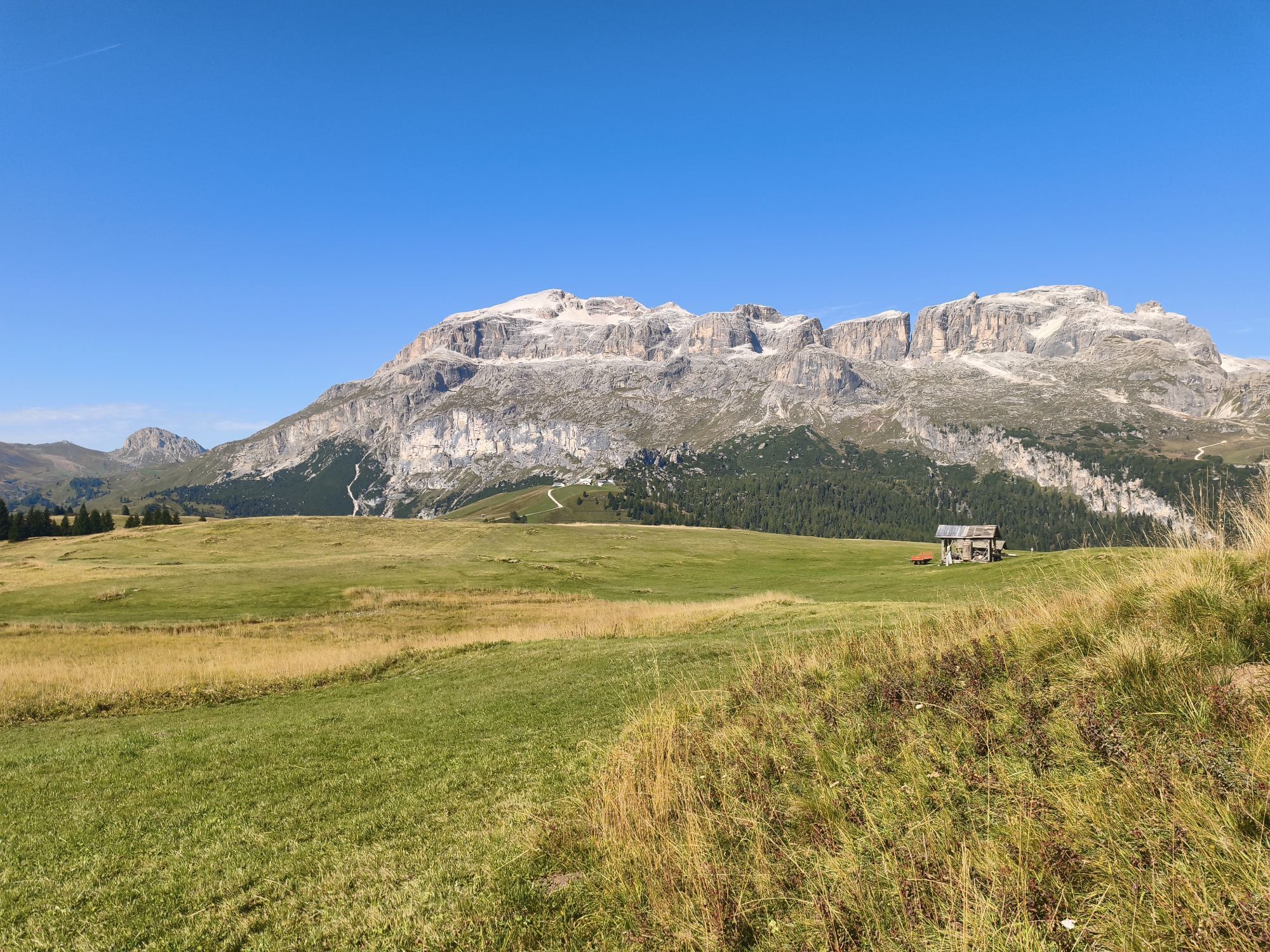
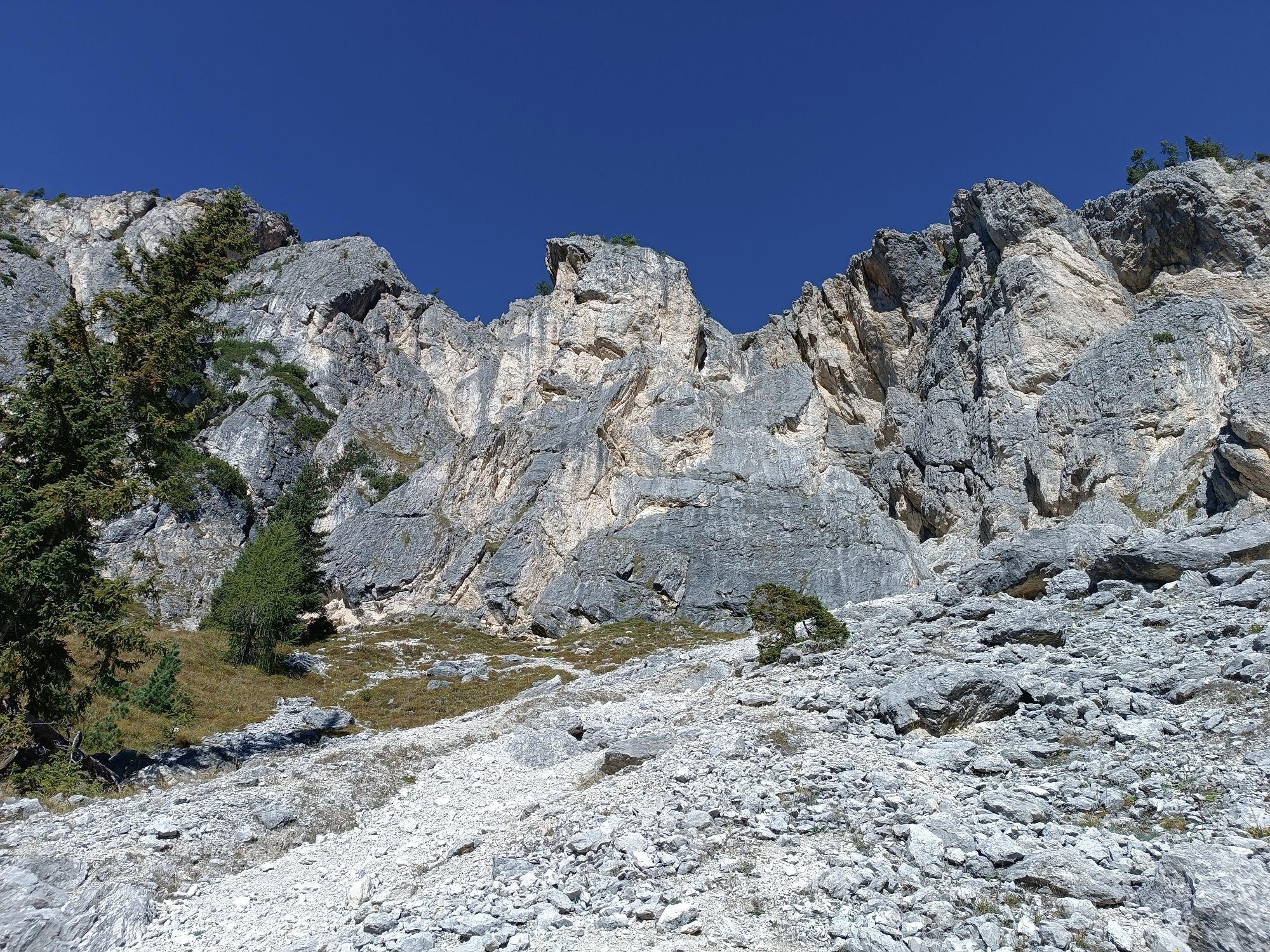
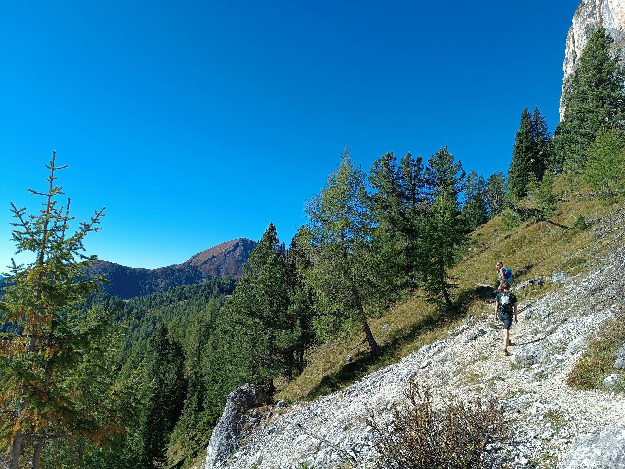
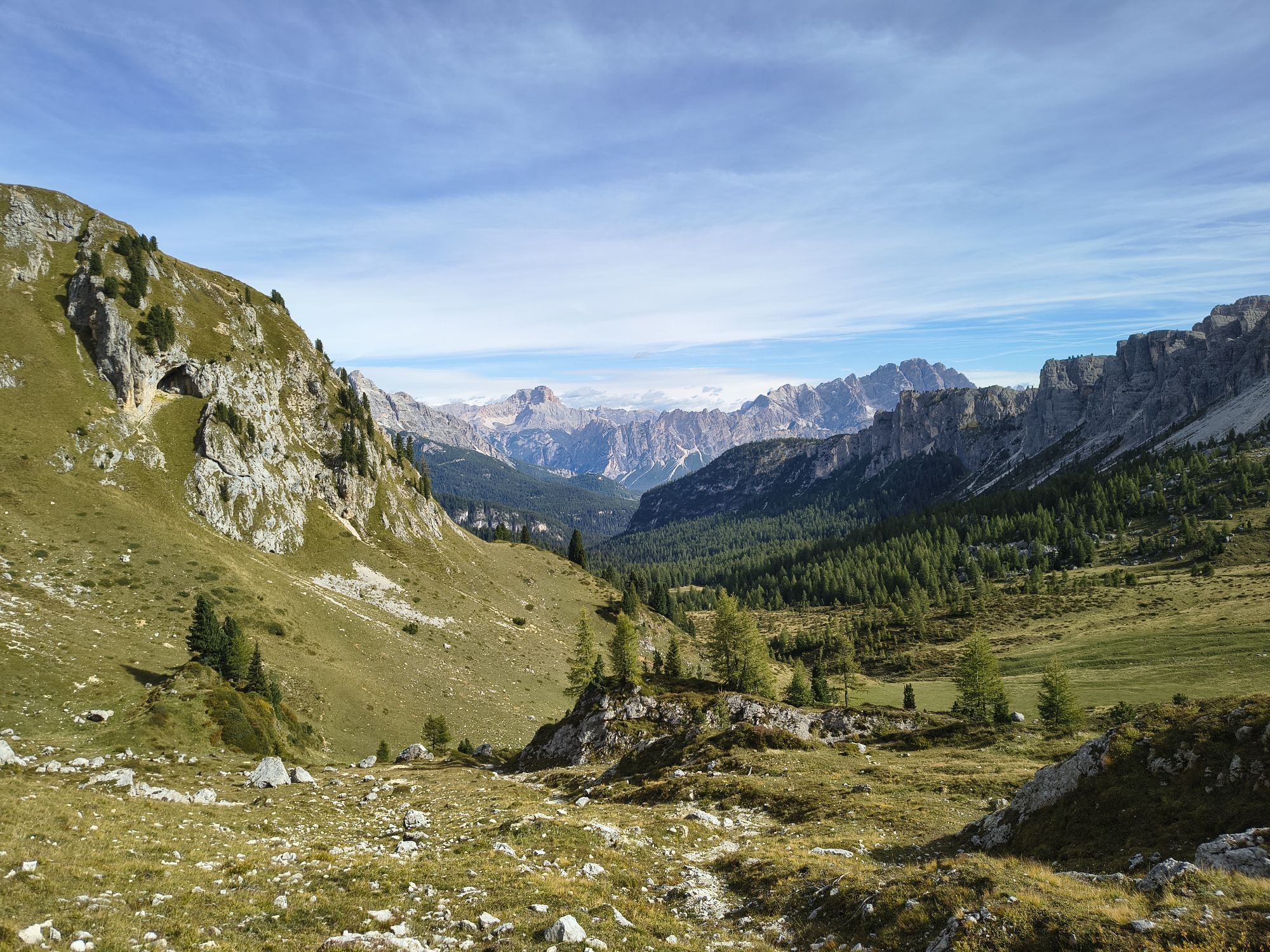
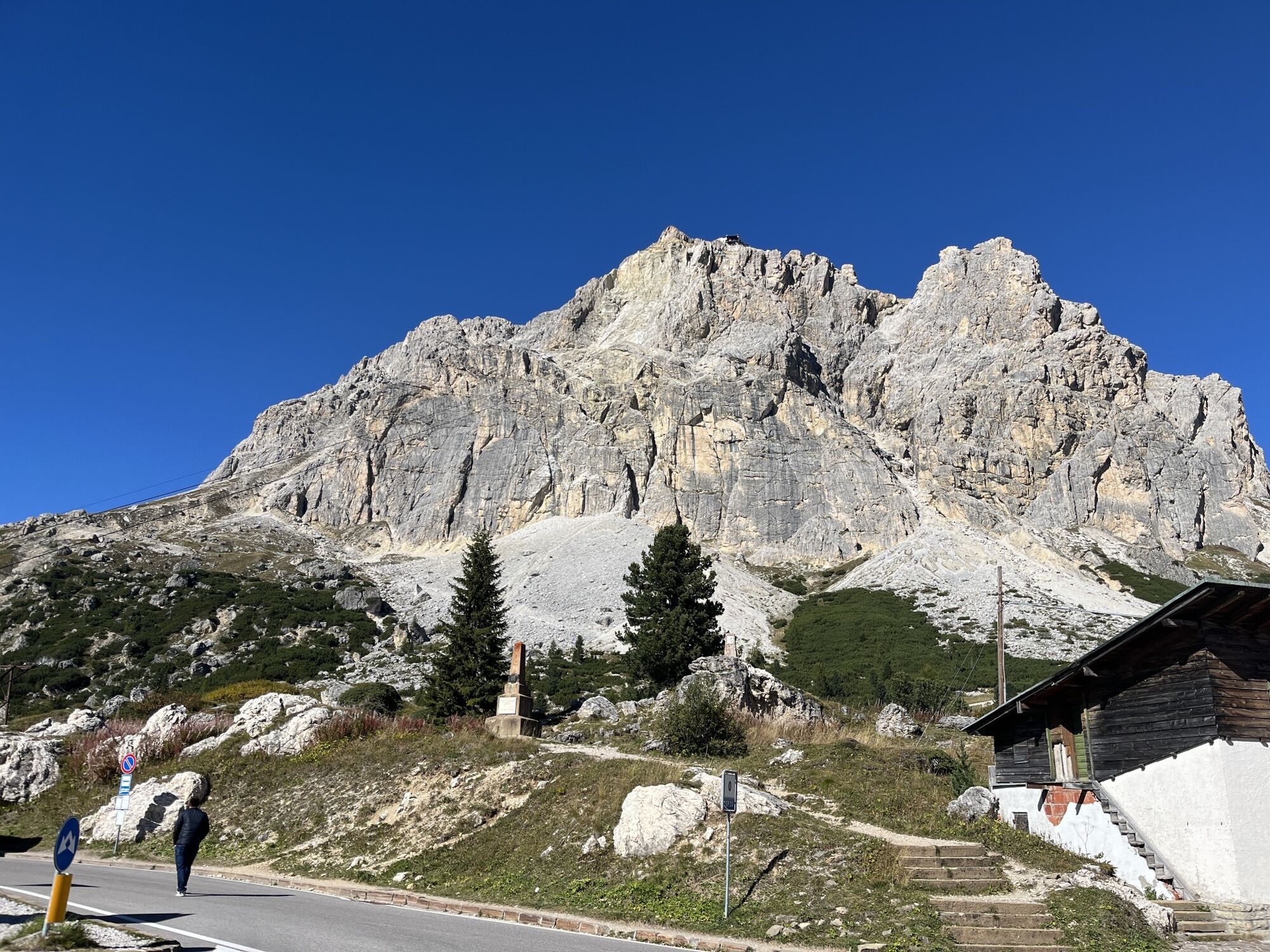
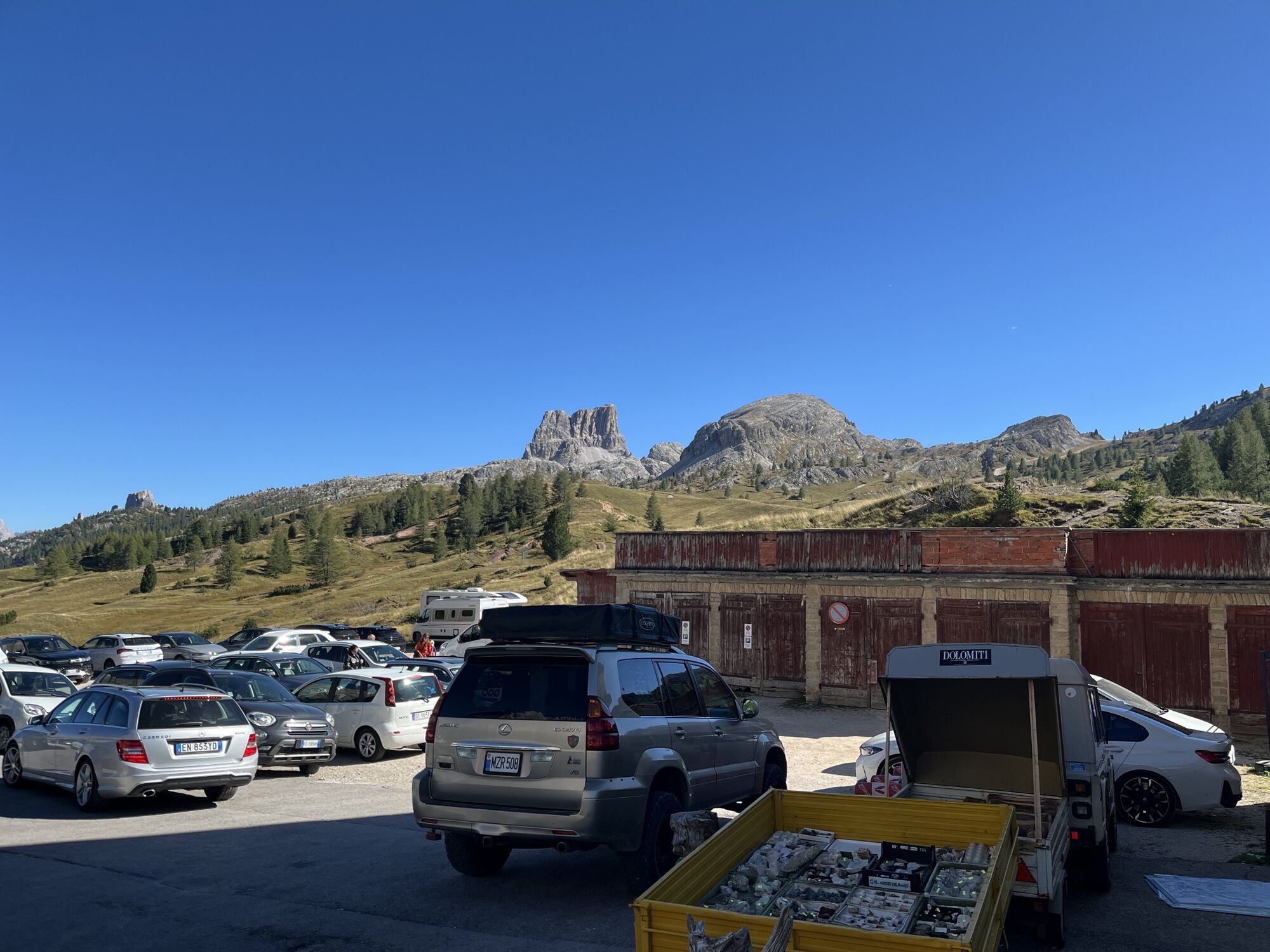
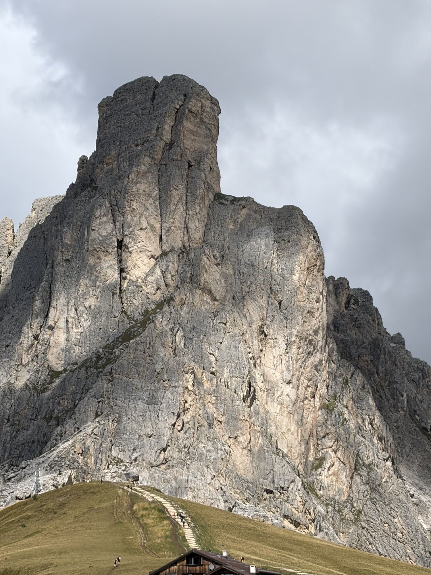
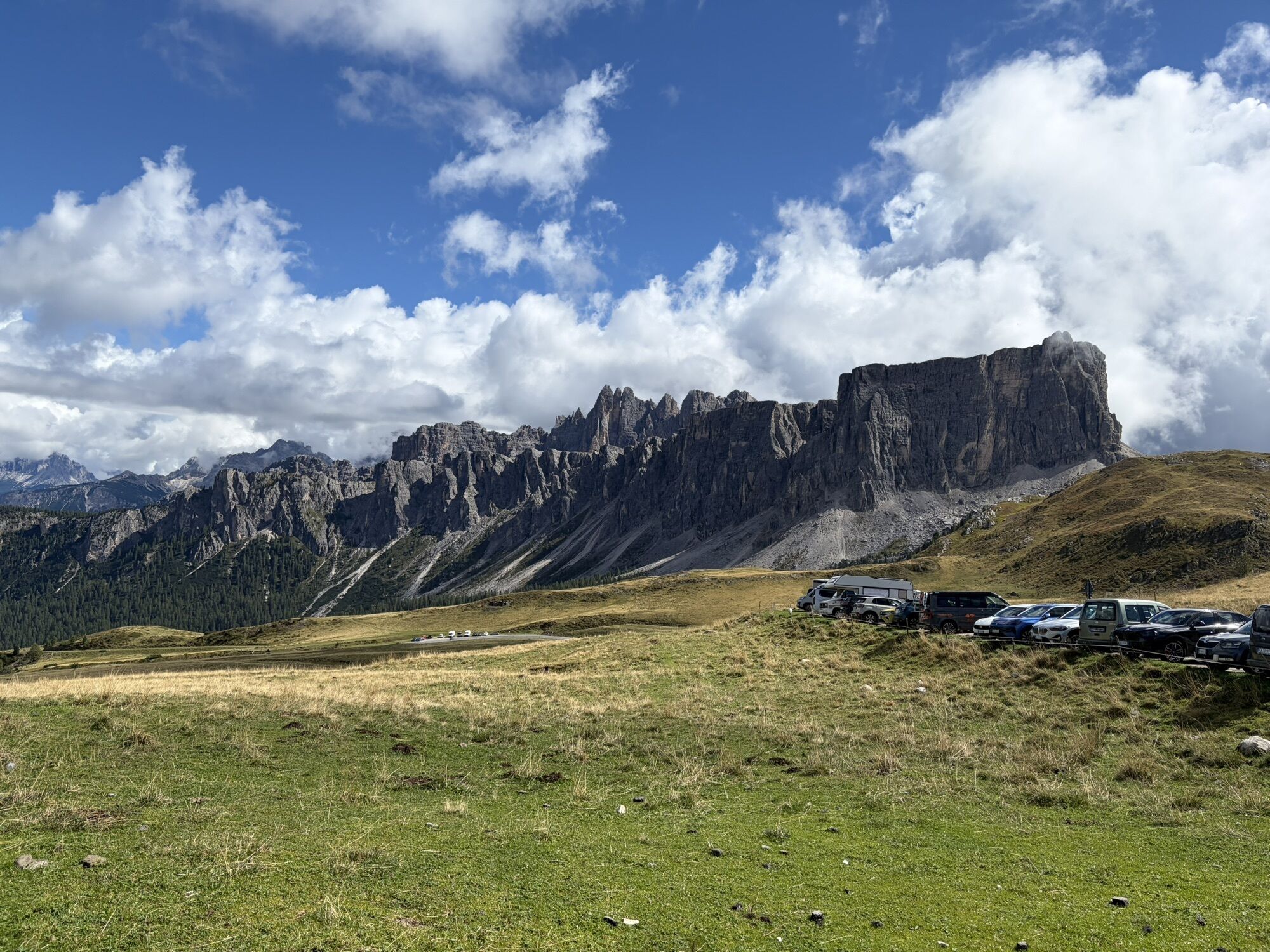
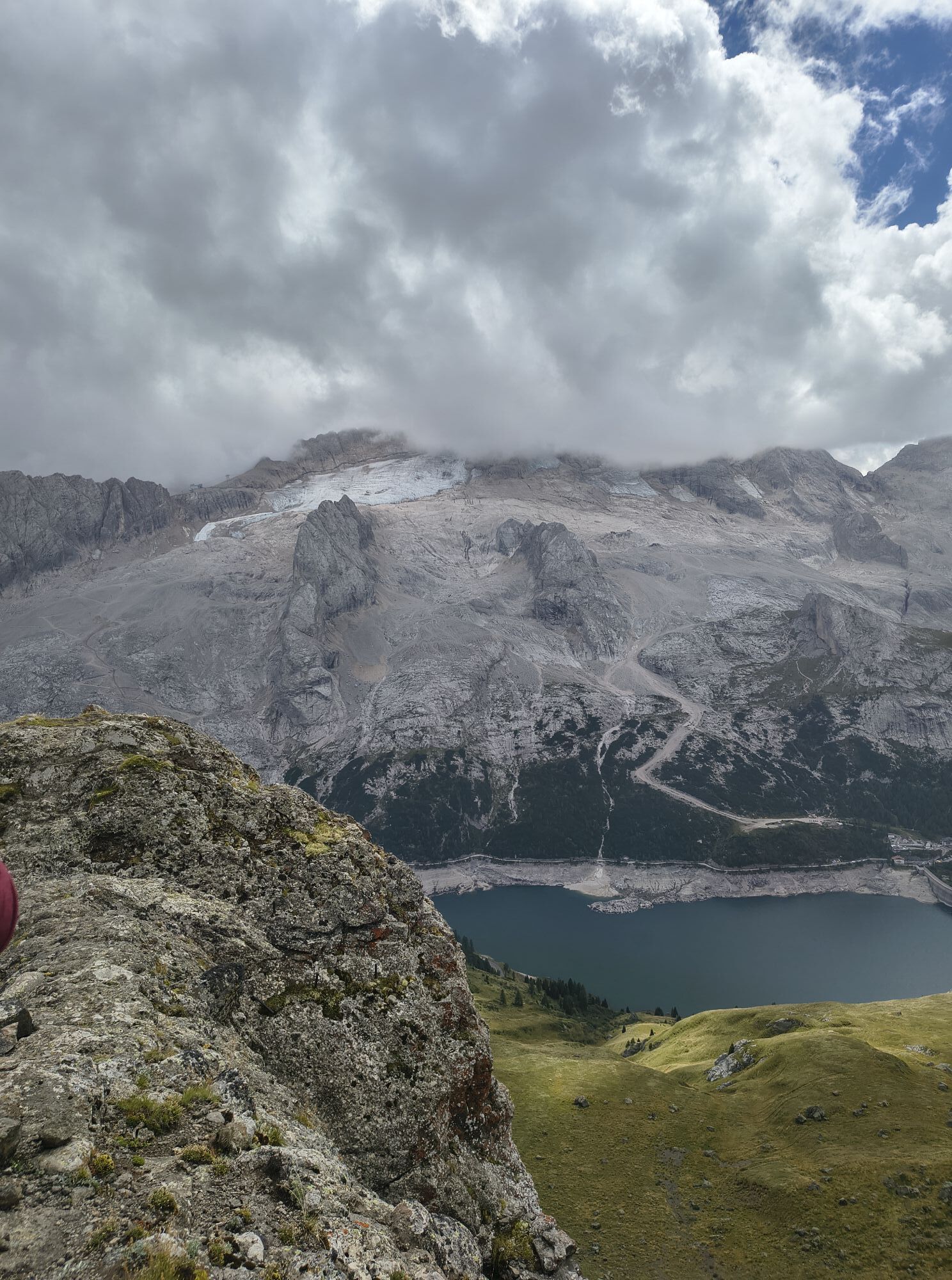
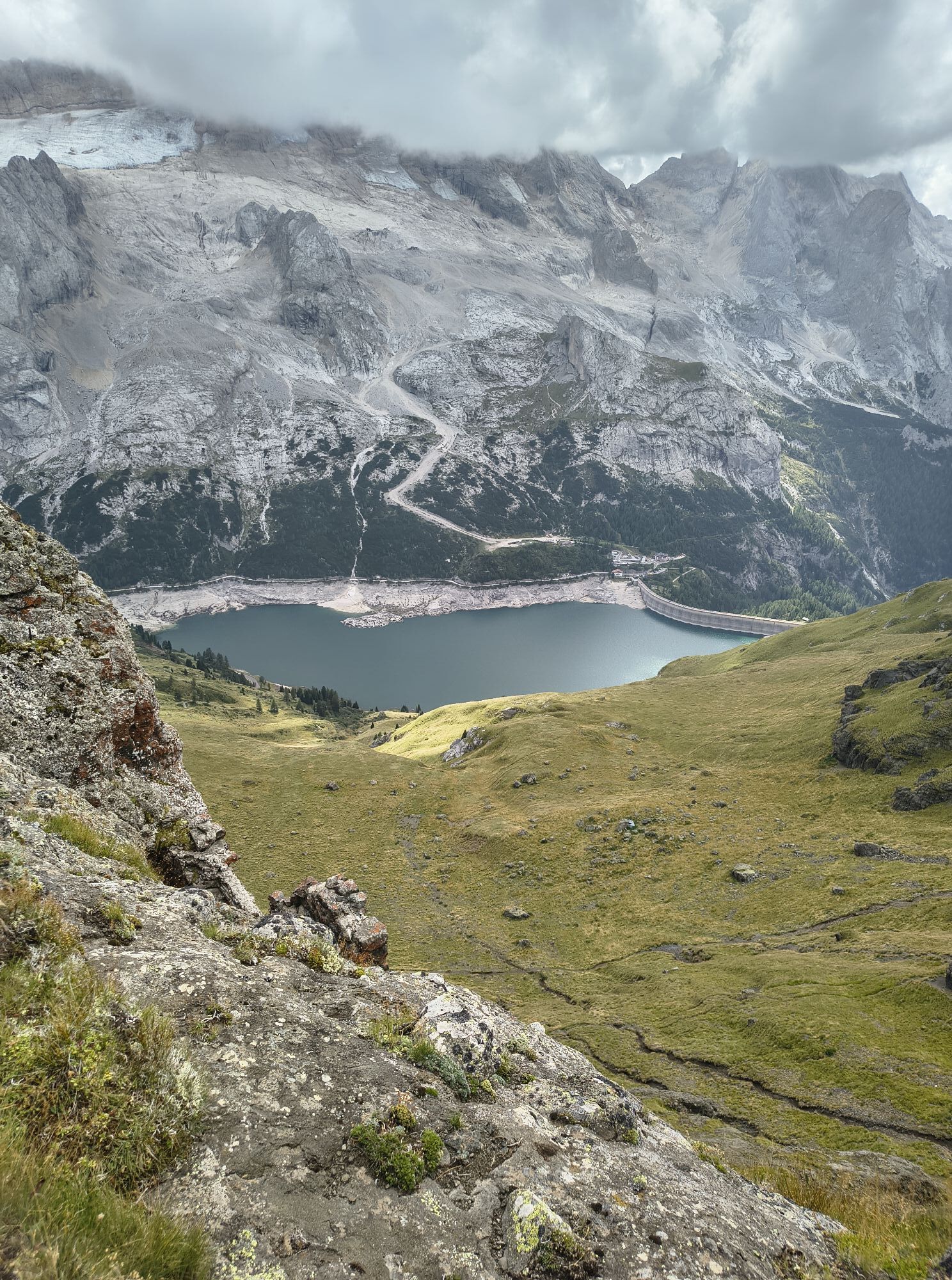
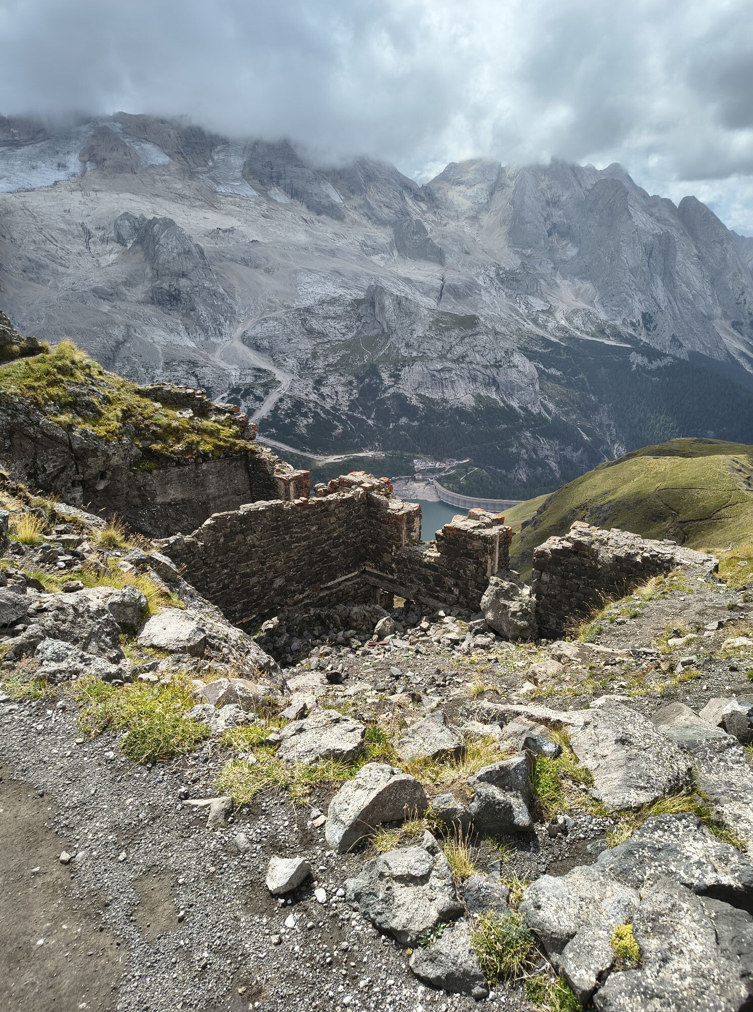
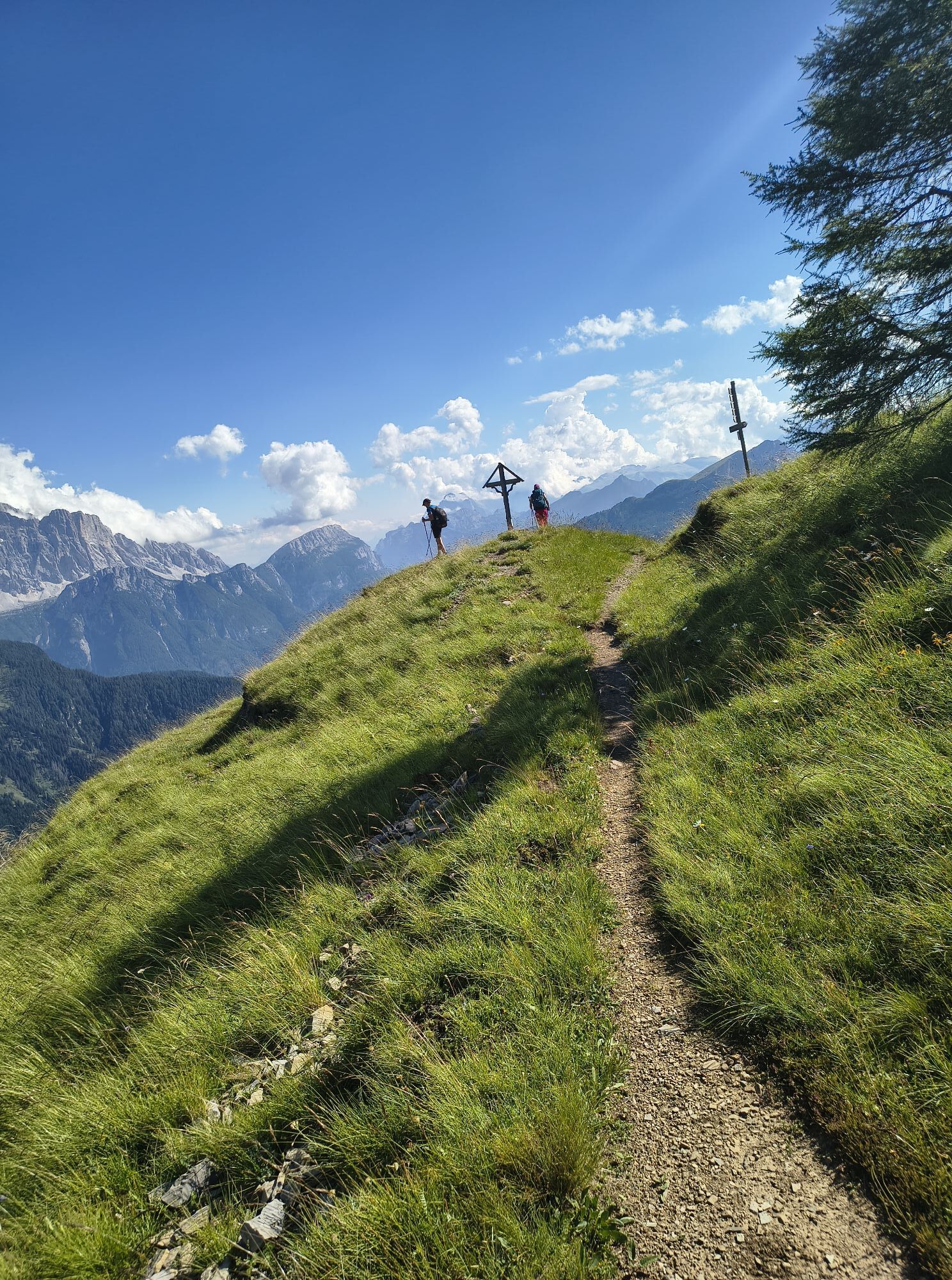
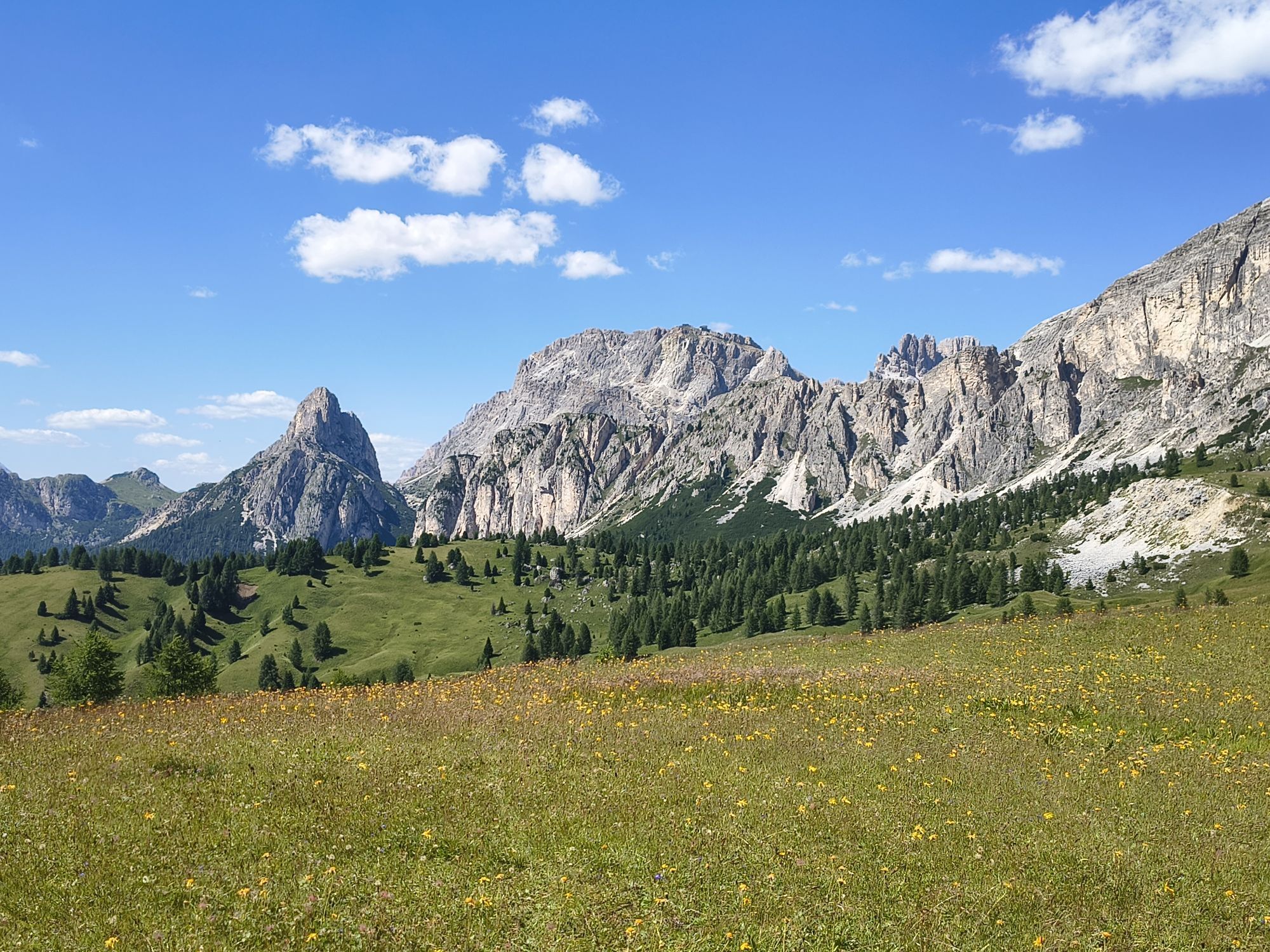
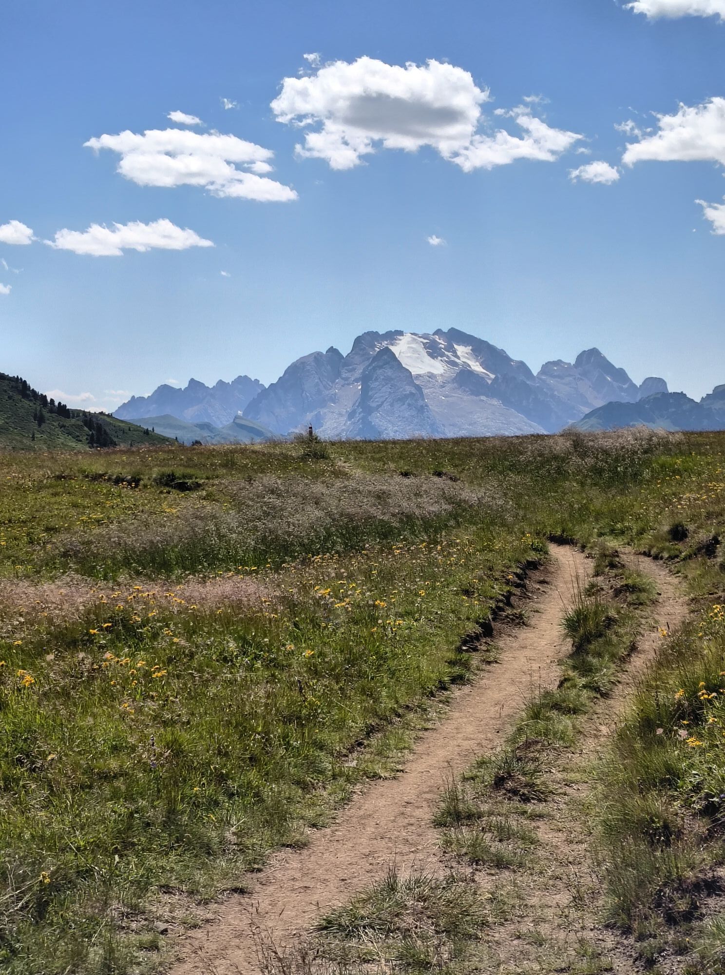
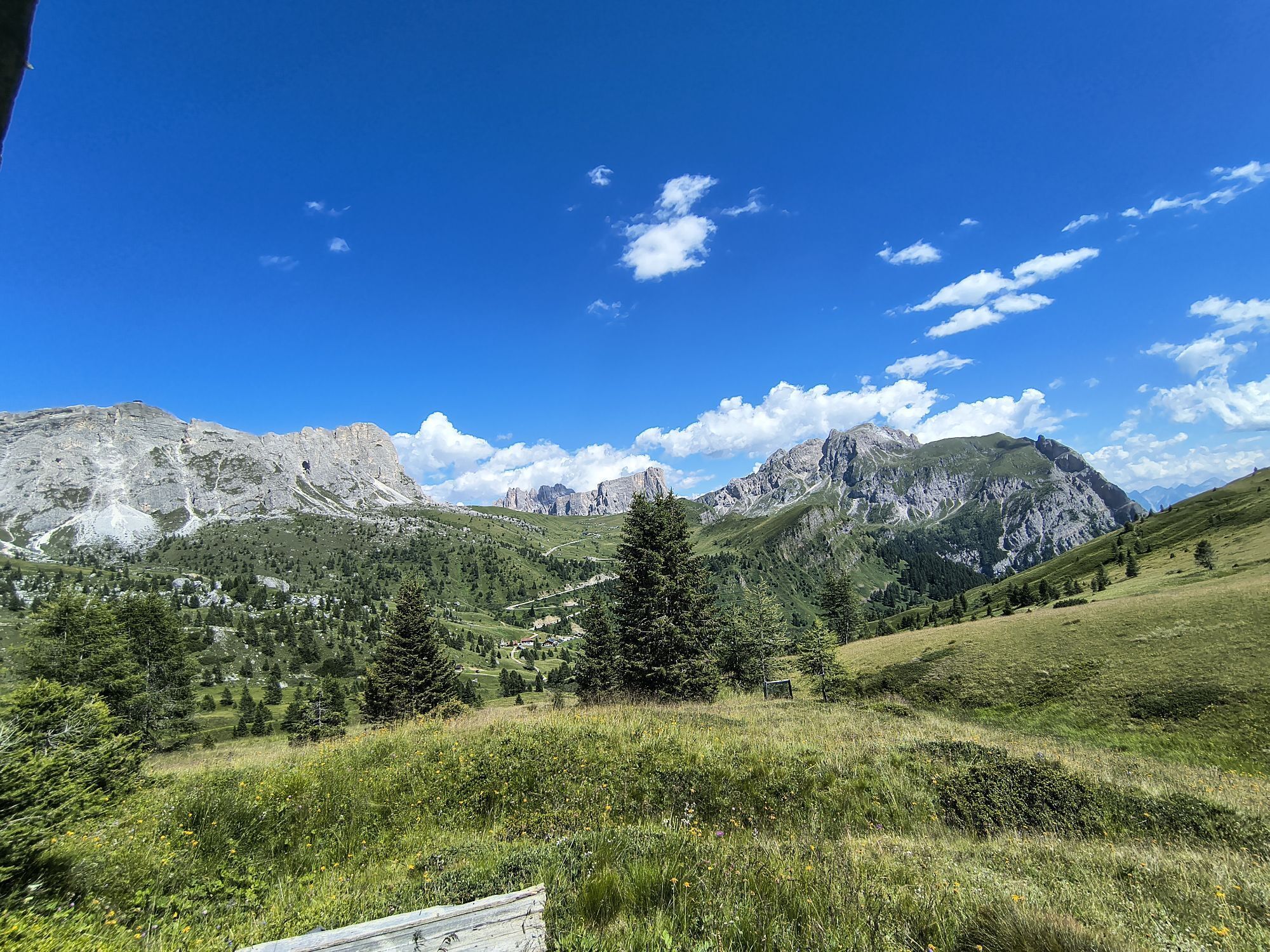
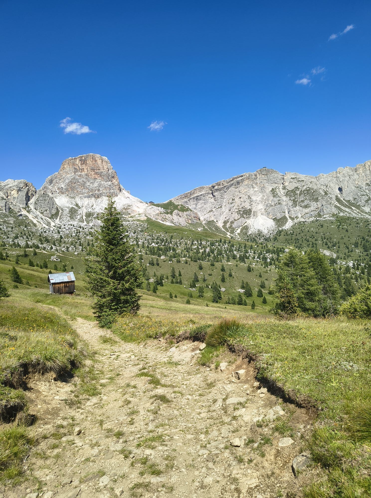
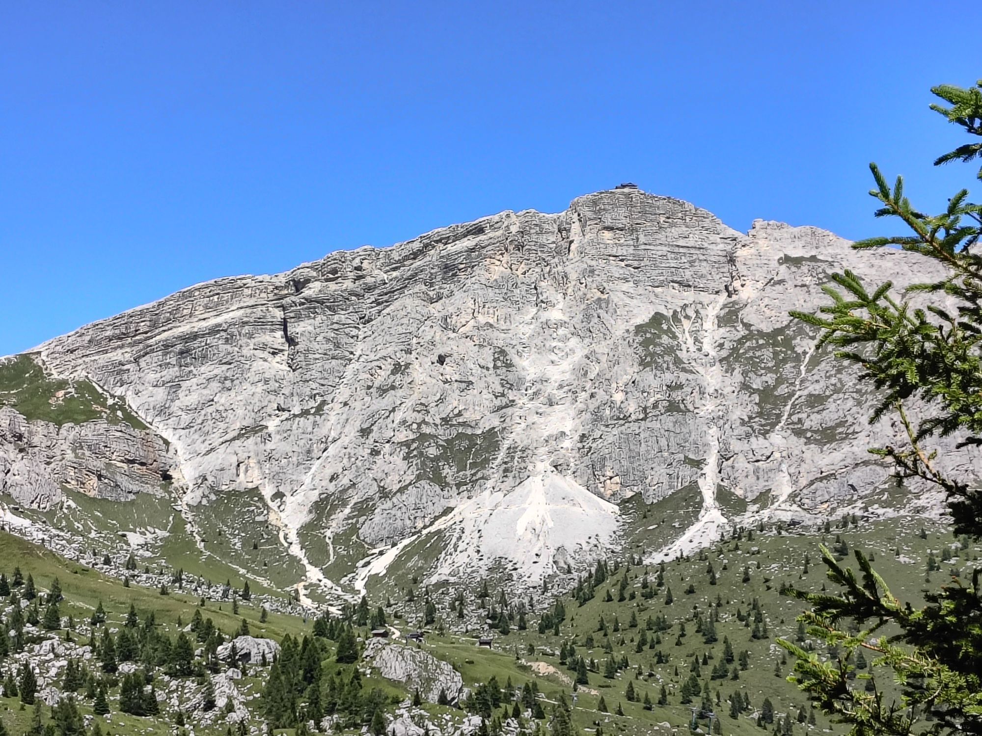
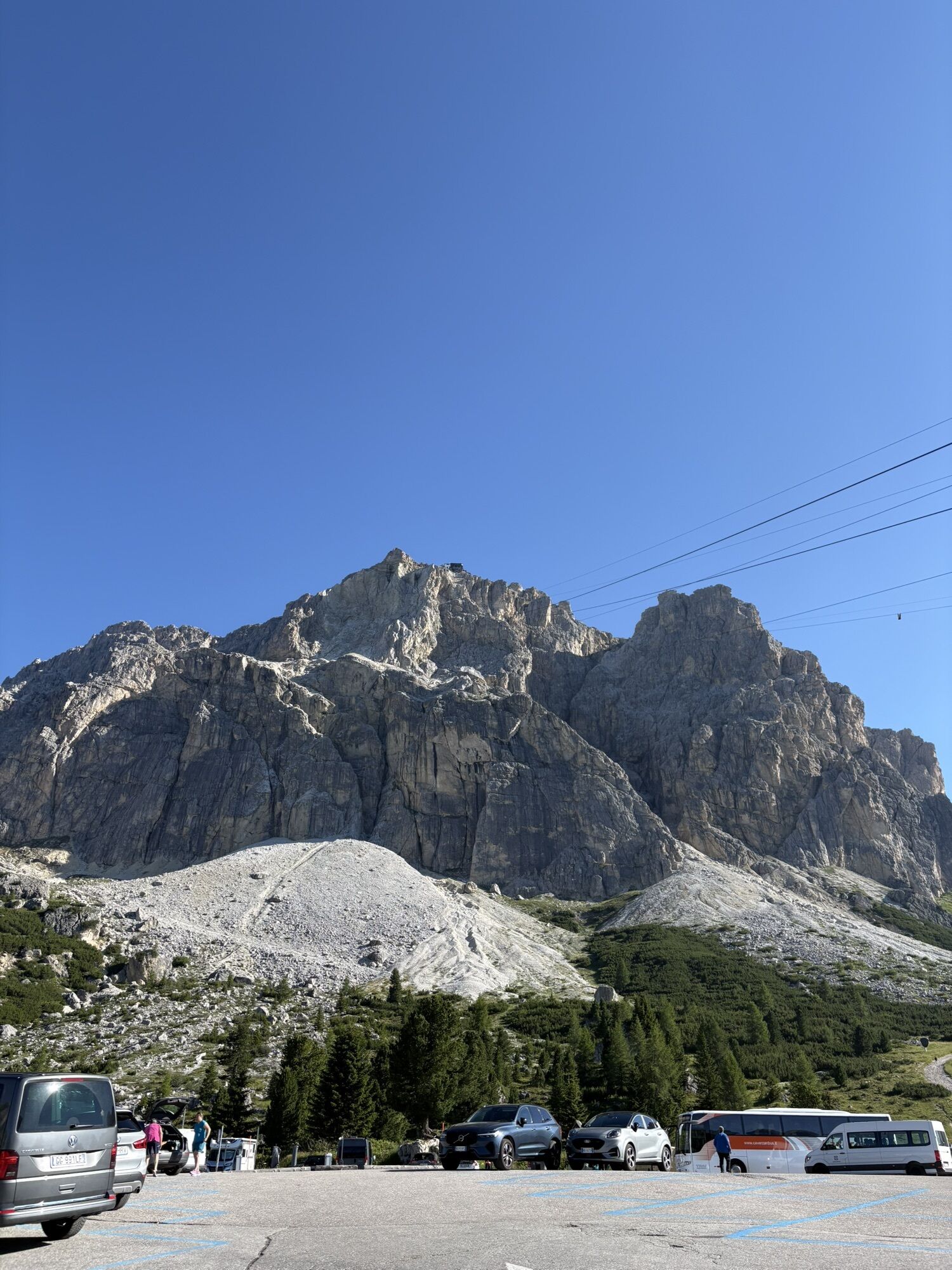
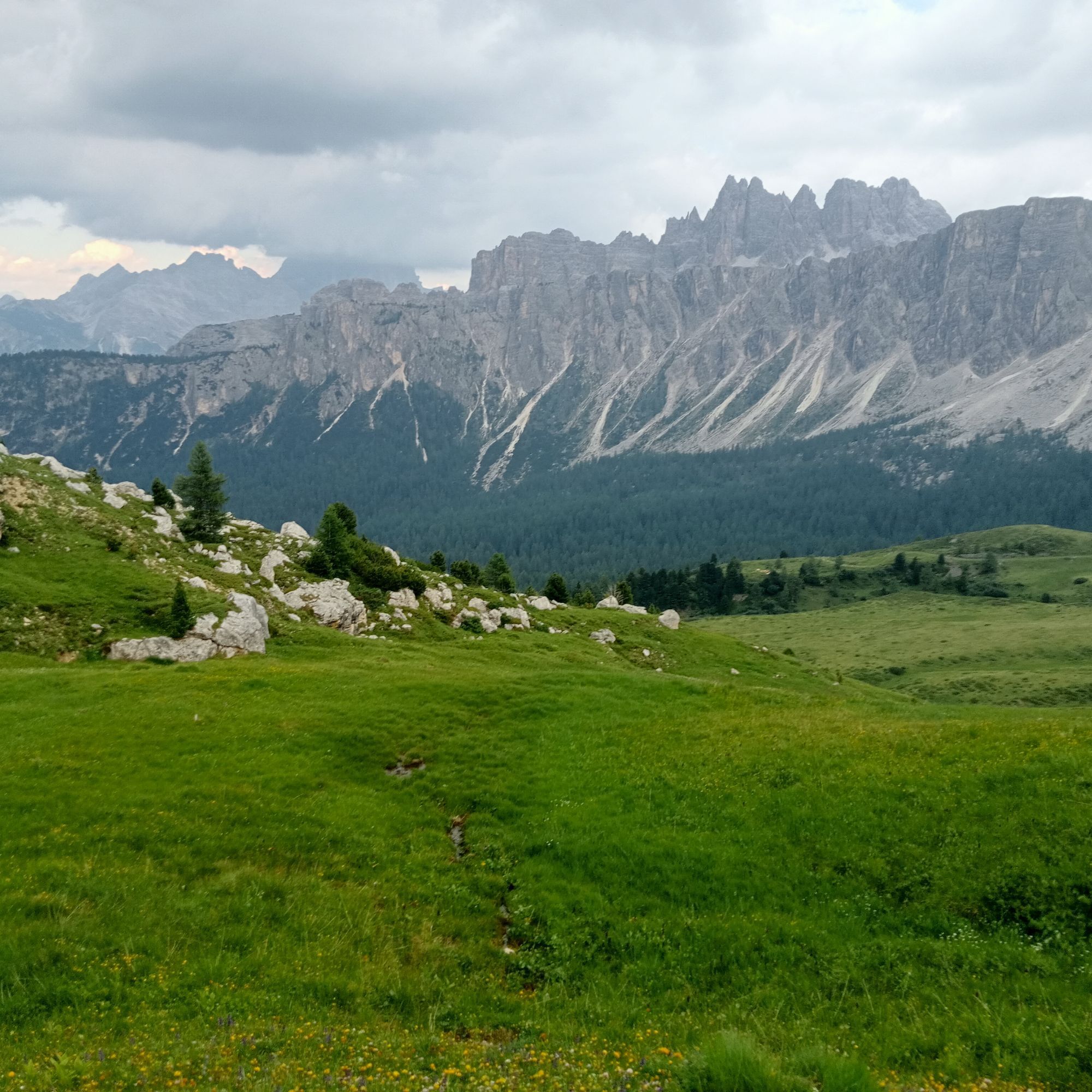
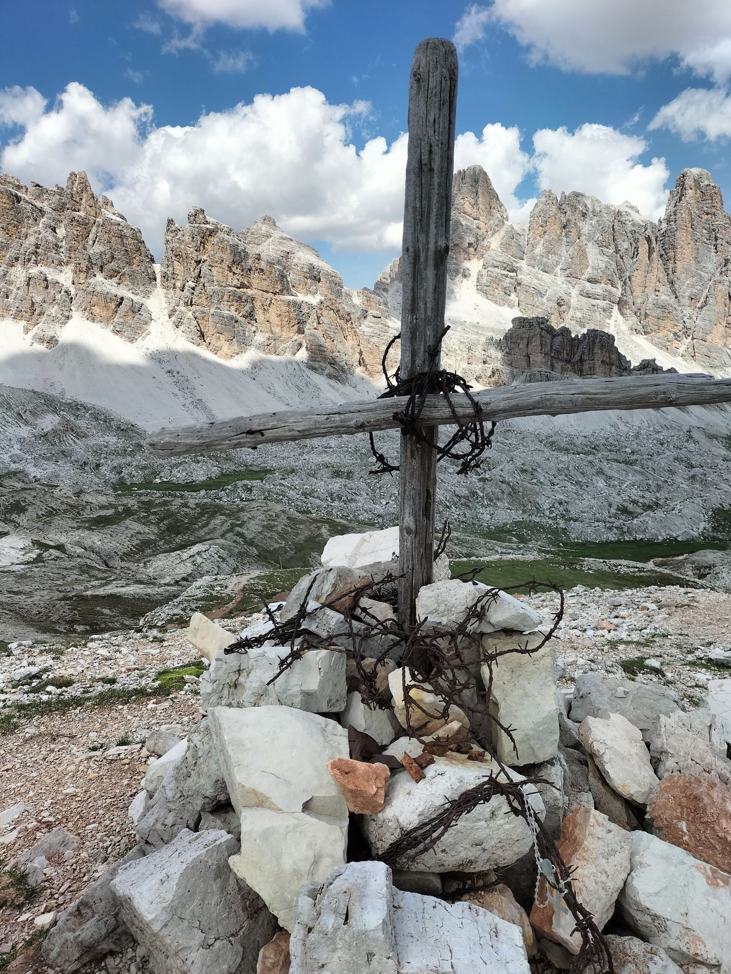
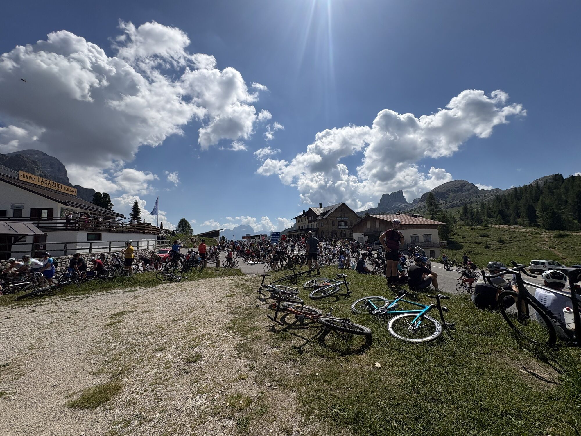
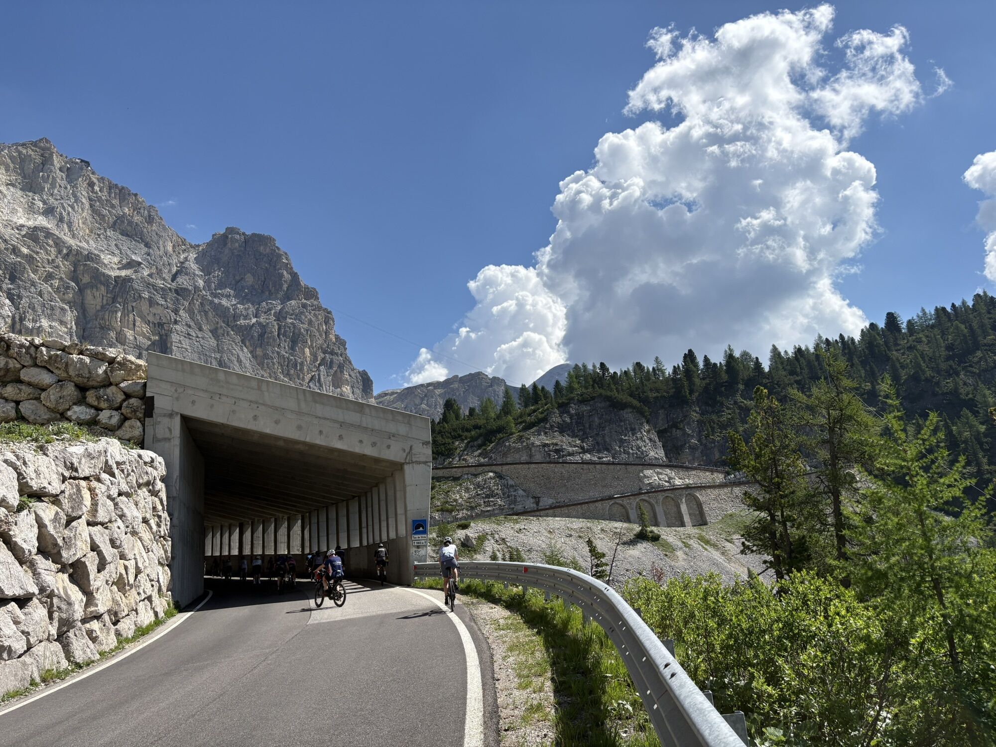
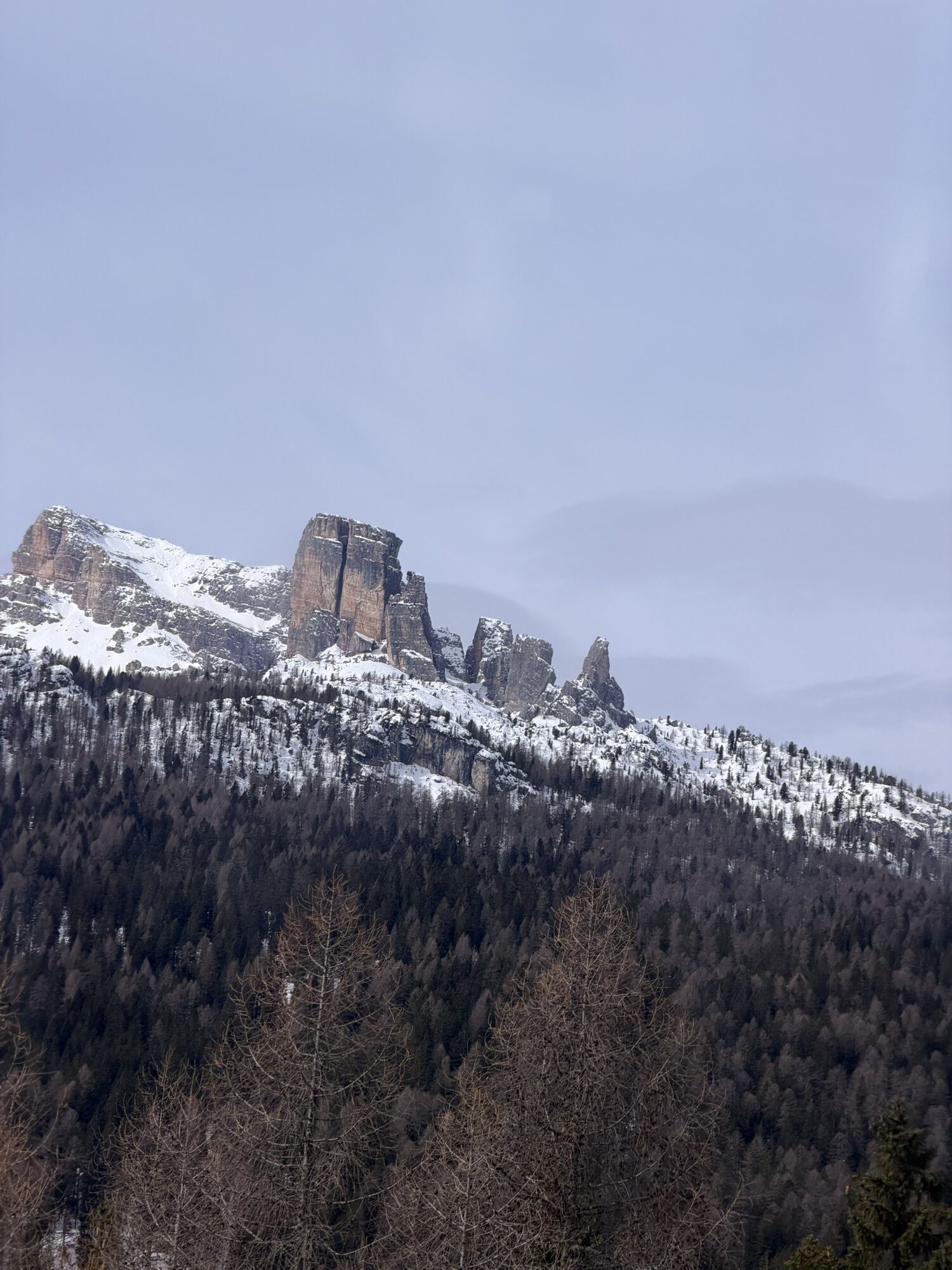
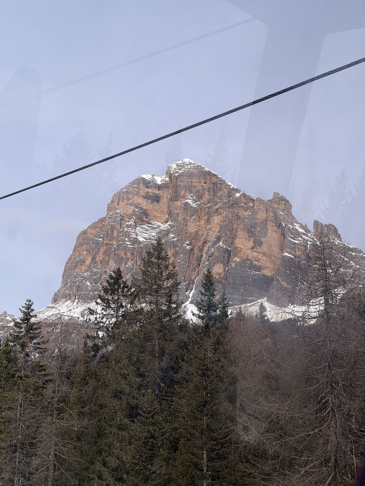
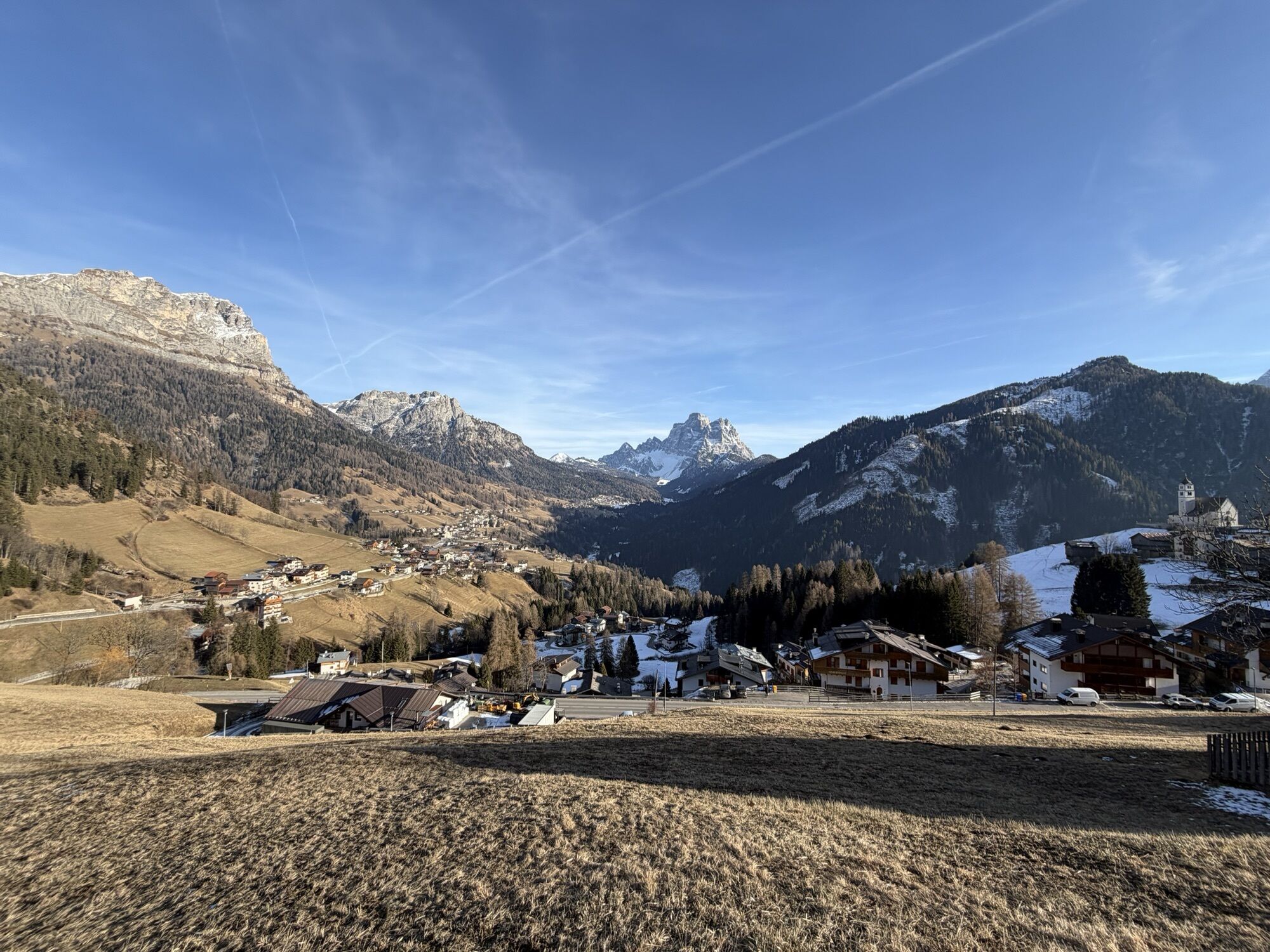
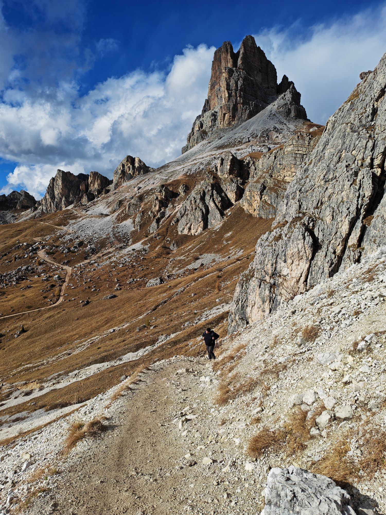
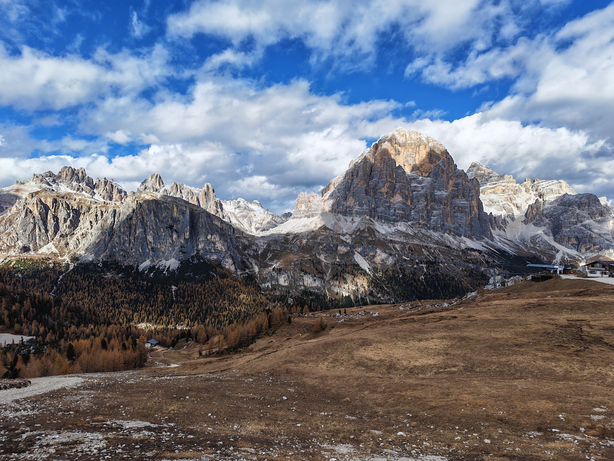
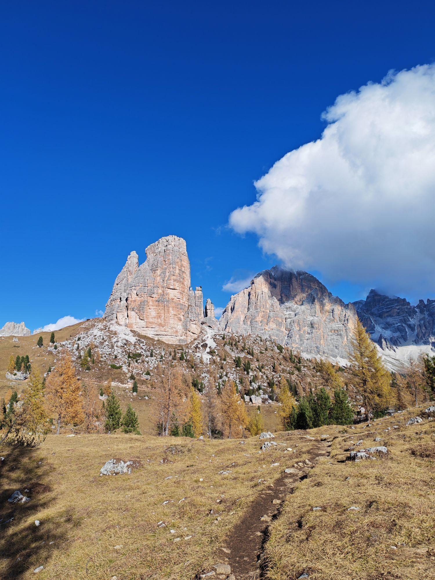
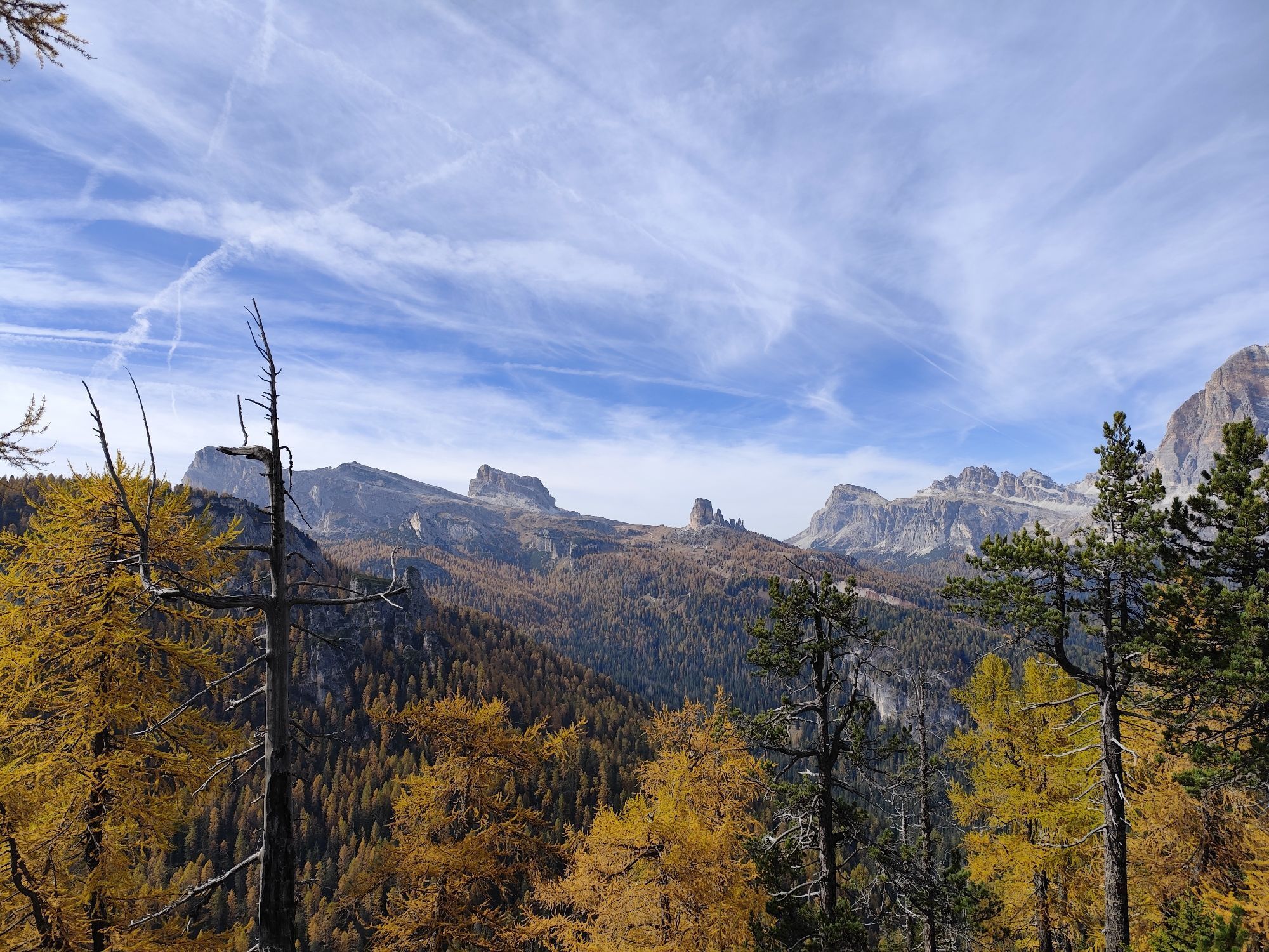
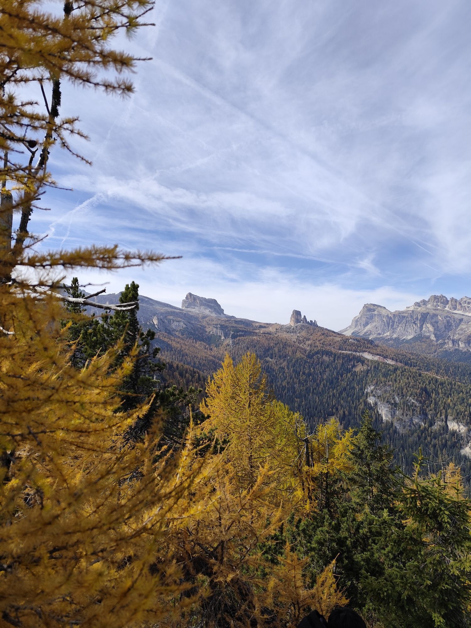
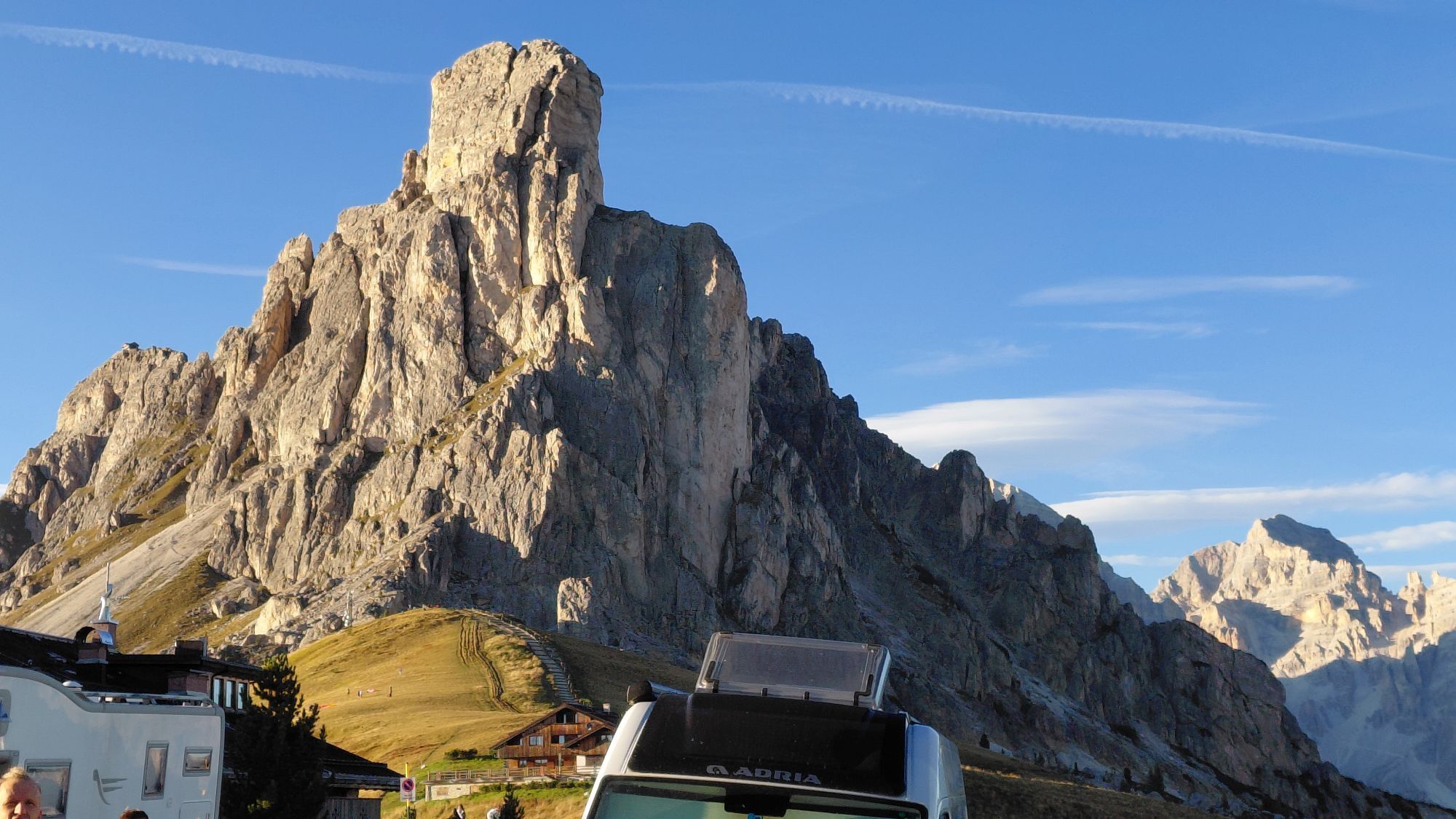
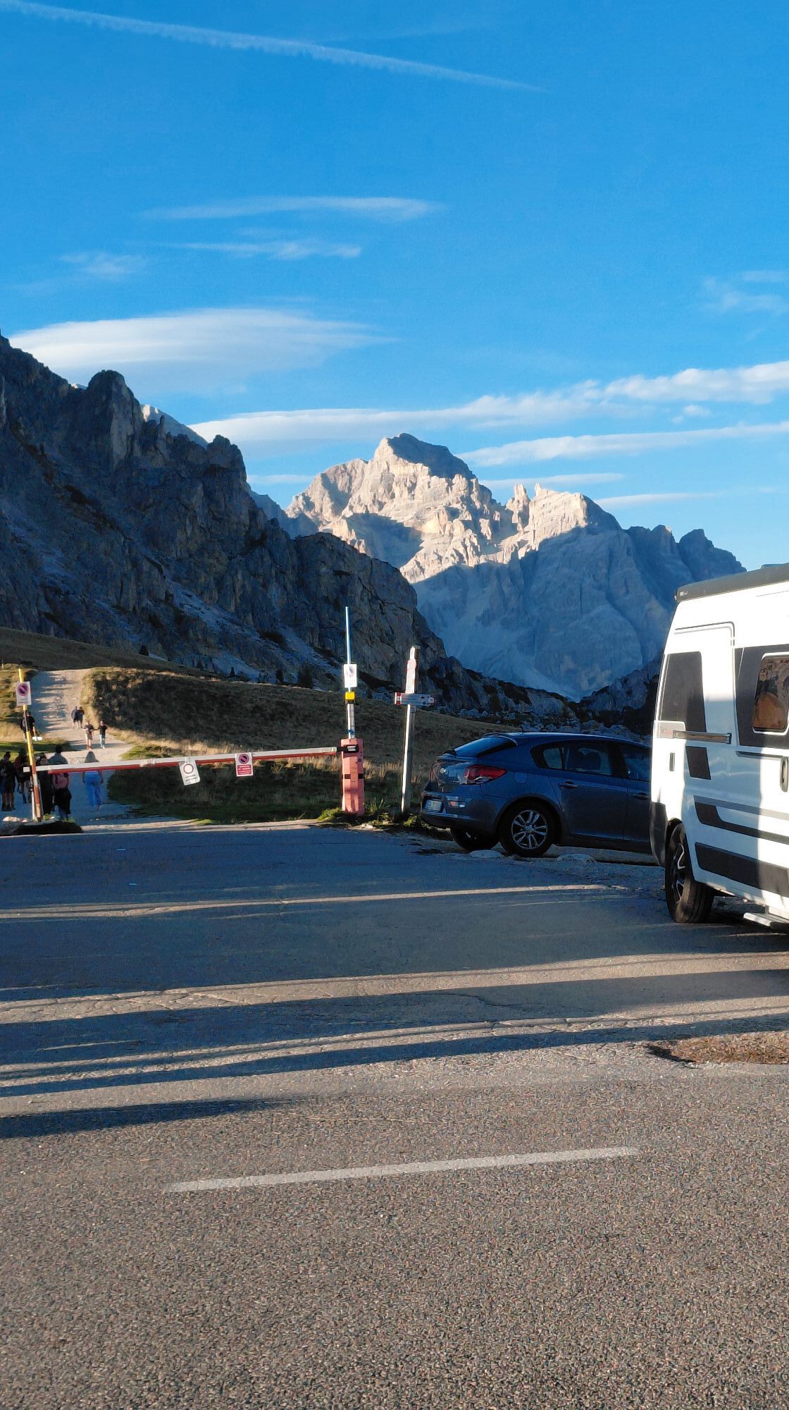
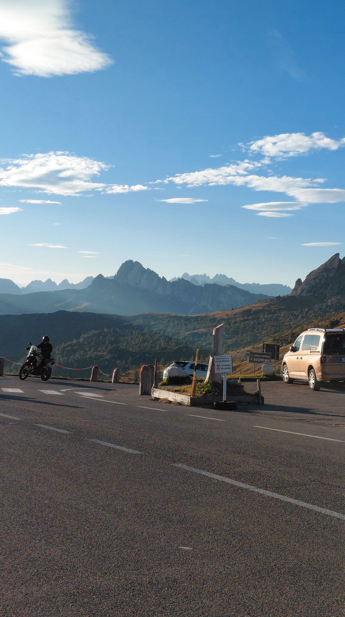
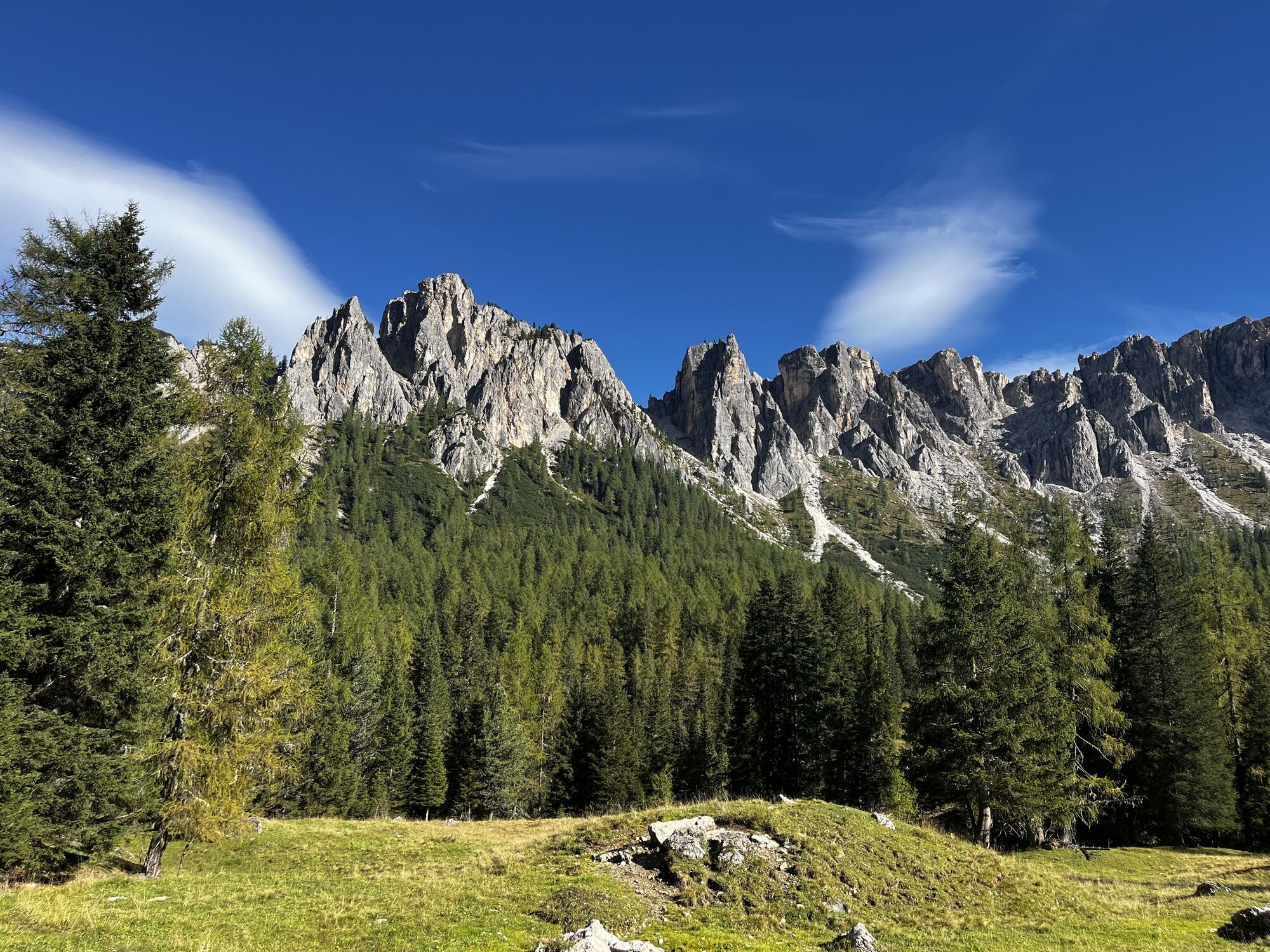
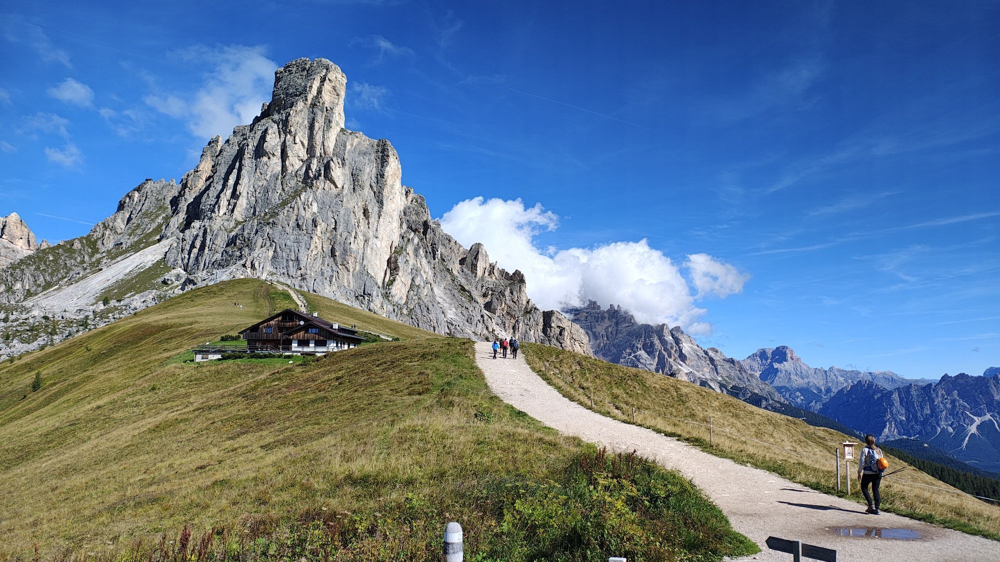
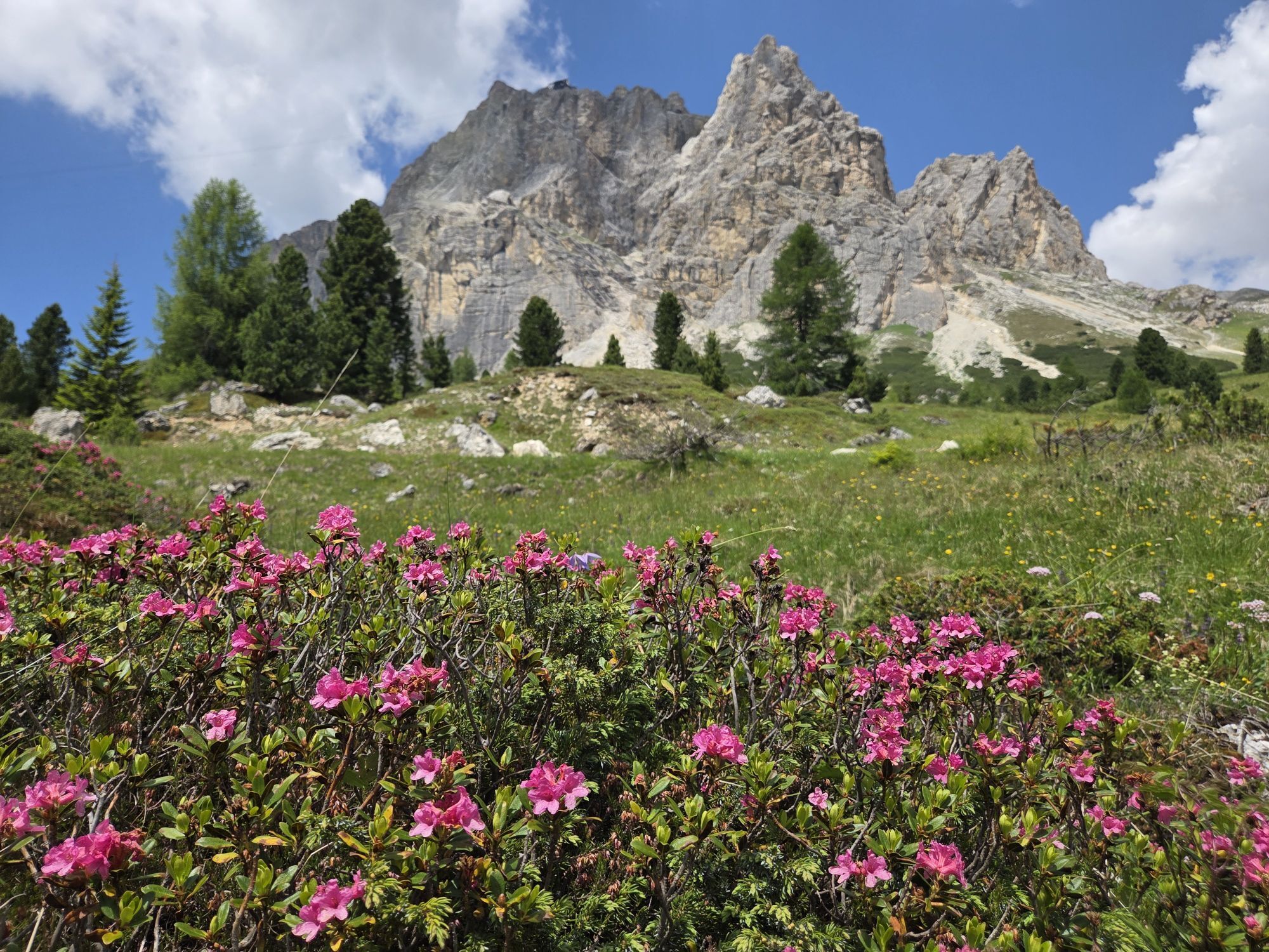
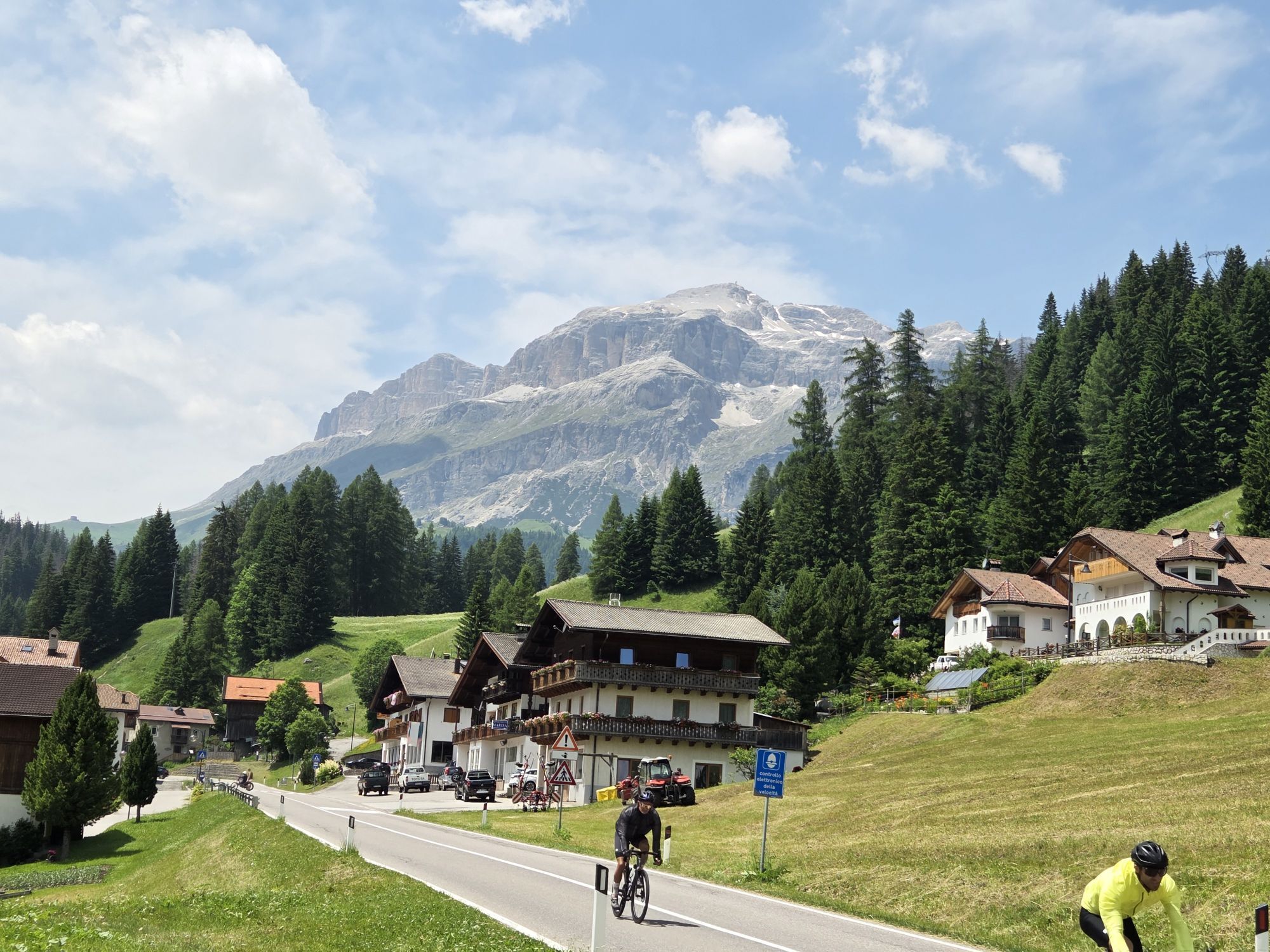
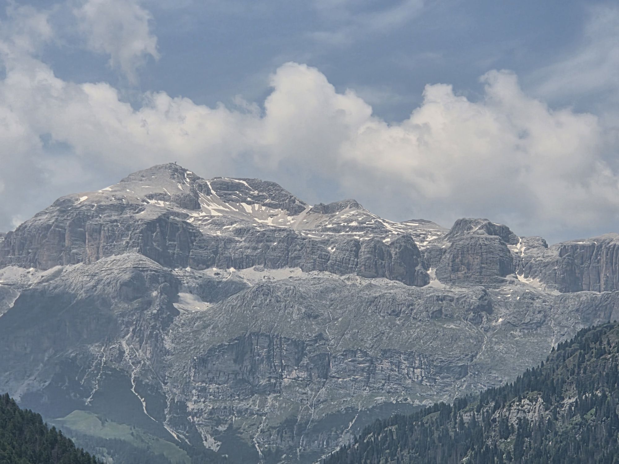
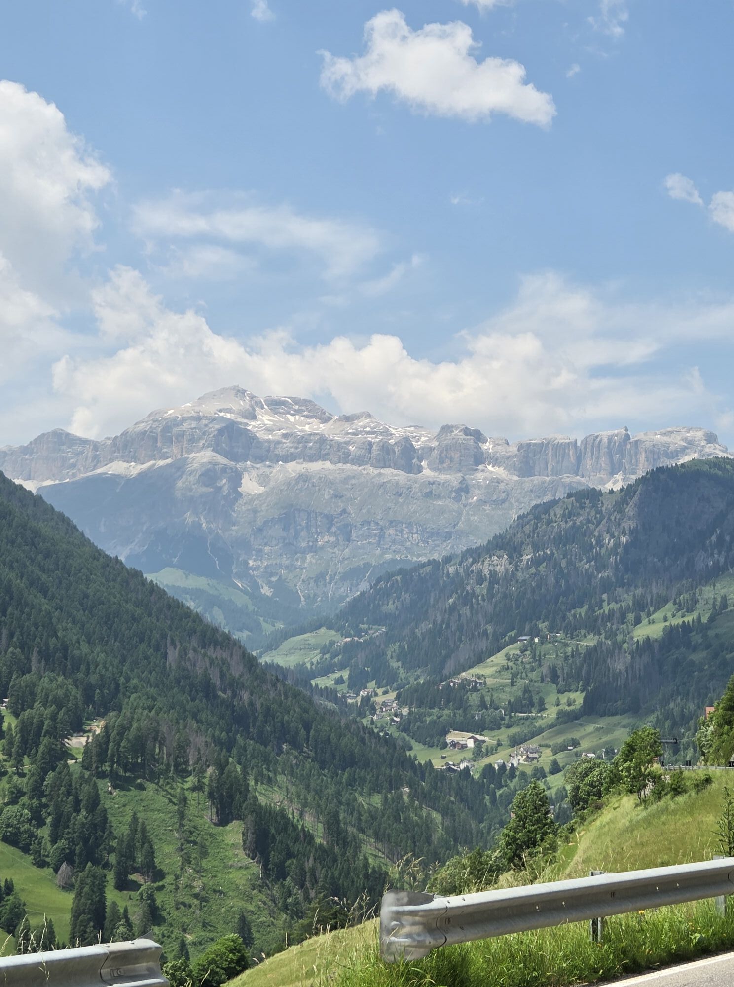
From Arabba you reach the picturesque village of Colle Santa Lucia, where shortly after the challenging climb to "Giau" Pass begins. The first slopes are the most demanding with gradients up to 13%. The...
From Arabba you reach the picturesque village of Colle Santa Lucia, where shortly after the challenging climb to "Giau" Pass begins. The first slopes are the most demanding with gradients up to 13%. The climb does not let up, but the effort is fully rewarded by the panoramic view enjoyed from the summit.
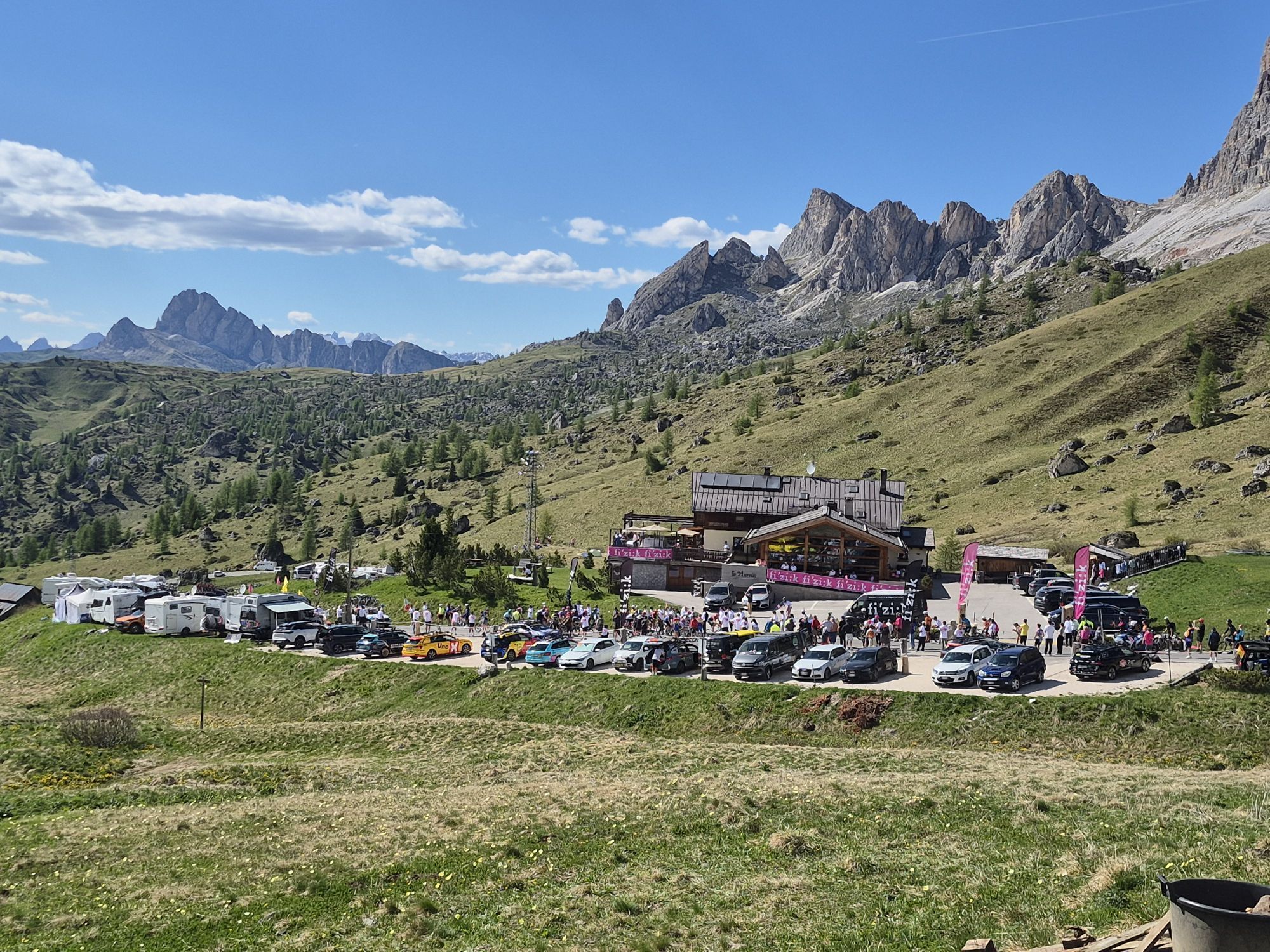
After catching your breath, you launch into a long and fun descent to the locality "Pocol" where you start climbing again along the Falzarego Pass with less steep and much more rideable gradients than the "Giau".
From the summit, the more trained can continue towards the Valparola Pass and then tackle the Campolongo, otherwise descend the Falzarego Pass for an easier return to Arabba.



From Arabba, take Dolomites Road 48 up to the hamlet "Cernadoi": here, at the fork, continue straight towards Caprile until the locality "Rucavà". At the fork turn left and start the climb which, after passing the "Belvedere" panoramic viewpoint, reaches the small village of Colle Santa Lucia.
Taking the pleasant small descent you reach the fork of "Codalonga" where, turning left again, you encounter the first already tough hairpin bends leading to the top of the Giau Pass.
Da
The cyclist's kit:
spare inner tube patches for inner tube repair CO2 inflator and cartridges tire levers mini pump "inflate and repair" cartridge multitool kit chain breaker money insect bite sticks food (energy bars, snacks, dried fruit, fresh fruit) mobile phone (enter useful local and emergency numbers and health information) bottles (one with water, one with water + mineral salts) gloves helmet helmet liner bandana anti-glare glasses wind- and rainproof k-wayModerate your speed according to your abilities and training.
Respect other users and the traffic laws.
Pay attention to car traffic.
Always let someone know where you are heading and the approximate duration of the route.
Emergency phone numbers are 112 or 118 (ambulance).
By car
From Innsbruck Brenner Motorway A22 to the Bressanone exit, continue through the Pusteria Valley, Badia Valley and Campolongo Pass. From Verona/Milan Brenner Motorway A22 to the Egna Ora exit, continue through the Fiemme Valley, Fassa Valley, Pordoi Pass and Arabba. From Venice Motorway A27 Belluno exit, follow Agordina 203 to Agordo, Caprile and Arabba.By train
Nearest train stations:
Belluno - 70 km Brunico - 48 km Ponte Gardena - 51 kmBy bus
Brunico - 47 km connection by SAD line www.sad.it Belluno – 70 km connection by Dolomitibus line www.dolomitibus.itBy plane
Venice Treviso / Venice Marco Polo – 160/170 km Innsbruck - 140 km Verona – 270 km Milan Bergamo / Milan Malpensa - 310/400 kmBefore setting out we recommend you check the weather conditions, which in the mountains change rapidly, and the condition of the route.
A stop is recommended at the "Belvedere" viewpoint overlooking the west face of Civetta, the north face of Pelmo, and the east face of Marmolada. There is also a sculpture commemorating the "Vaia" hurricane of October 28, 2018.

Spletne kamere s turneje
-
Santa Fosca - Campo Scuola
-
Ra Valles
-
Ra Valles
-
Ra Valles
-
Ra Valles
-
Ra Valles
-
Ra Valles
-
Ra Valles
-
Arabba - Bec de Roces
-
Arabba - Porta Vescovo
-
Pordoi - Pass
-
Boé
-
Boé
-
Alleghe - Piani di Pezze
-
Pordoi - Pass
-
Selva di Cadore - Pescul
-
Cortina d'Ampezzo - Duca d'Aosta
-
Cortina d'Ampezzo - Pomedes
-
Cortina pista Labirinti
-
Selva di Cadore - Pescul
-
Rifugio Burz
-
Tofana - Pista Olimpia
-
Tofana - Pista Olimpia
-
Sottoguda - Marmolada
-
Cortina d’Ampezzo, 5 Torri
-
Rifugio Averau
-
Rifugio Averau
-
Rifugio Burz
-
Pista Fodoma
-
Rifugio Burz
-
Rifugio Burz
-
Rifugio Burz
-
Rifugio Burz
-
Pista Fodoma
-
Pista Fodoma
-
Pista Fodoma
-
Pista Fodoma
-
Cortina d'Ampezzo - Col Gallina
-
Passo Padon


Priljubljeni izleti v okolici
-
4.8
Passo Giau roundtrip
srednjaPohodništvo 8.10 km -
4.6
Five Towers Tour (Averau, Nuvolau and Scoiattoli refuges) from Giau Pass
srednjaPohodništvo 10.8 km -
4.7
Lago di Sorapis
srednjaGorski pohodništvo 13.6 km -
4.7
Lago di Sorapis A/R
srednjaPohodništvo 16.4 km -
4.7
Giovanni Barbara (A/B) Klettersteig
svetlobaVia ferrata 6.16 km -
4.9
Fanes-Sennes-Runde
Mountainbike 54.8 km -
4.5
Lago Federa
srednjaPohodništvo 14.6 km -
5.0
Magnifique et très variée
srednjaPohodništvo 12.6 km -
4.8
Pederü - Fanes Hütte
svetlobaPohodništvo 12.0 km -
4.8
Ferrata brigata degli alpini - Col dei Bos
srednjaVia ferrata 4.90 km
Pohodništvo in sledenje


Ne zamudite ponudb in navdiha za naslednje počitnice
Vaš e-poštni naslov je bil dodan na poštni seznam.





