Navigacija po spletni strani
Pridobite to turo v svoj mobilni telefon
Zemljevid
GTDB | Stage 2: Pieve di Cadore -Passo Cibiana

težko
Cestno kolo
90.37 km
Skenirajte kodo QR in začnite navigacijo v aplikaciji bergfex.
QR Code
Pohodništvo in sledenje
Prenos za iOS
Prenos za Android

GTDB | Stage 2: Pieve di Cadore -Passo Cibiana

Razdalja
90.4 km
Trajanje
06:25 h
Ascent
1,930 hm
Morska gladina
704 - 1,800 m

Stopnja težavnosti: 4
Prenos skladbe
Zemljevid
GTDB | Stage 2: Pieve di Cadore -Passo Cibiana
težko
Cestno kolo
90.37 km

Fotografije naših uporabnikov

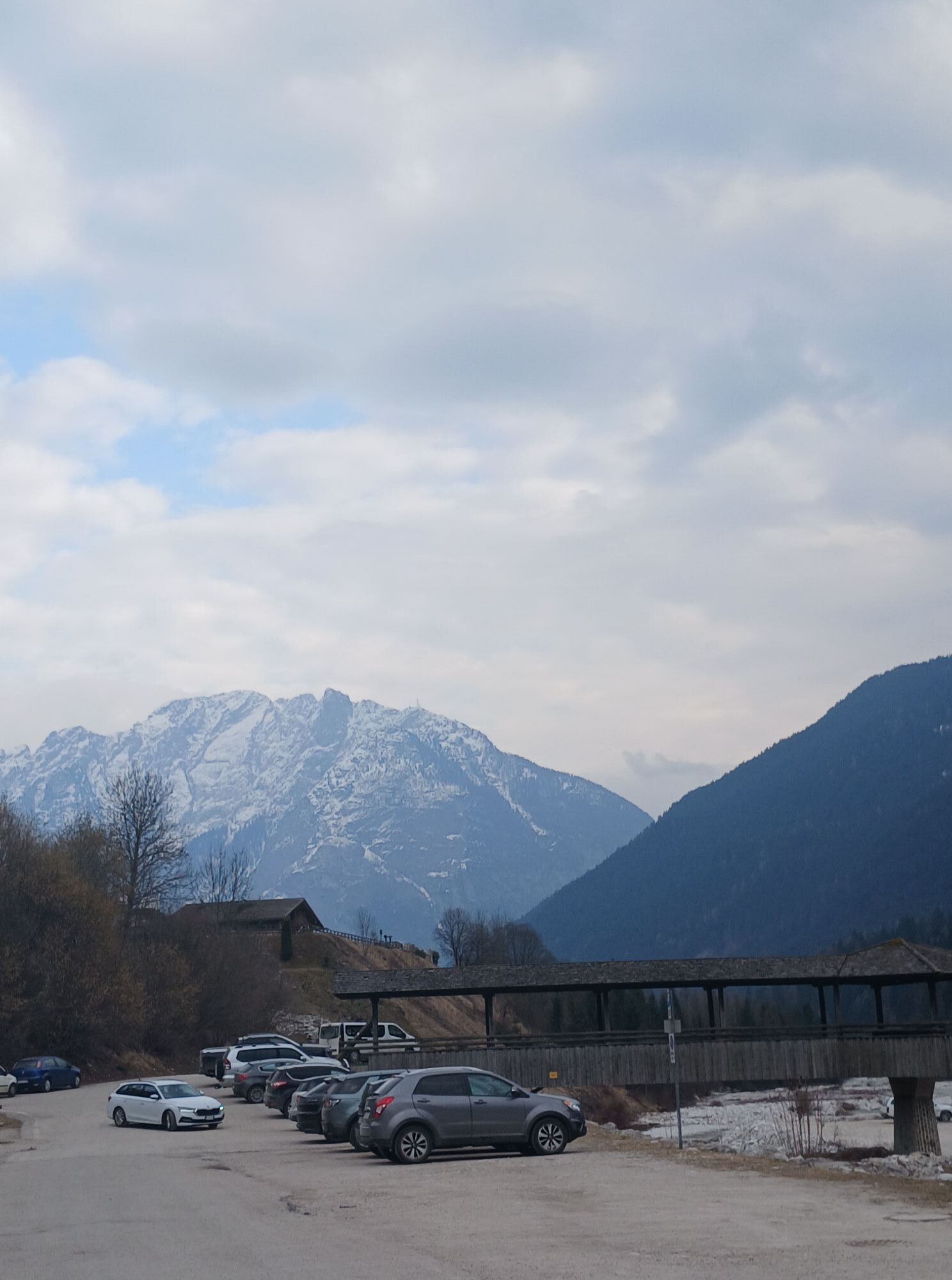
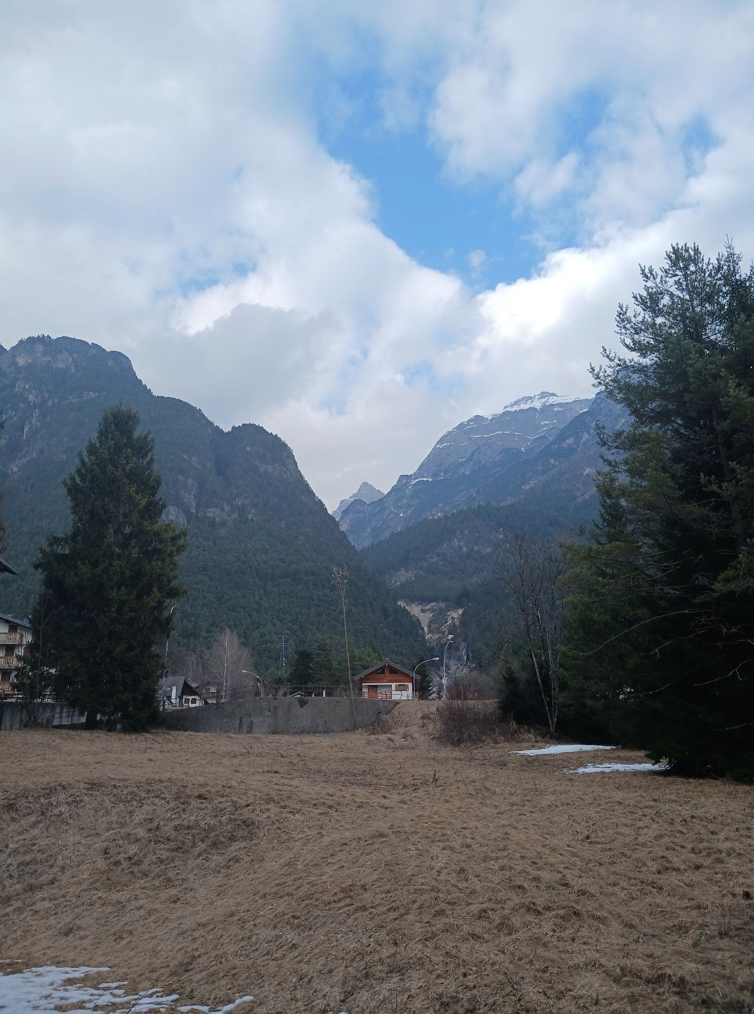
The second stage of the Gran Tour Dolomiti Bellunesi starts in Pieve di Cadore and heads towards the impressive Passo Cibiana, crossing some of the most authentic landscapes in the Dolomites. The route...

Opis
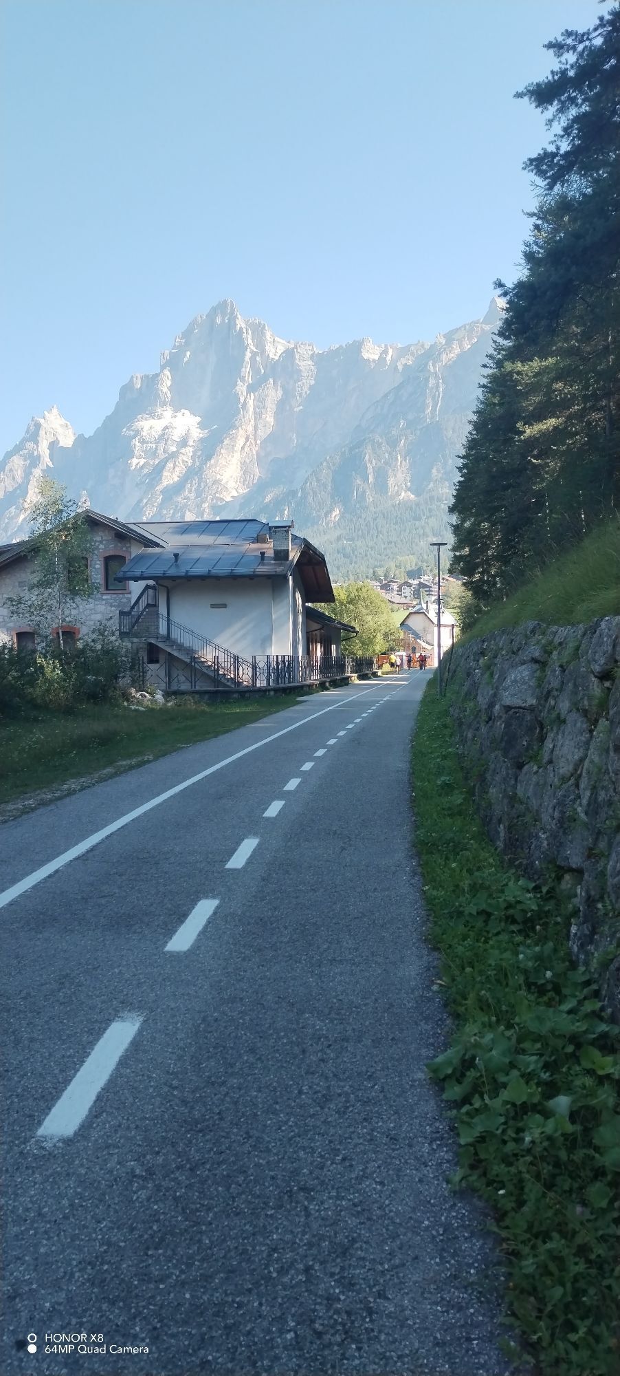
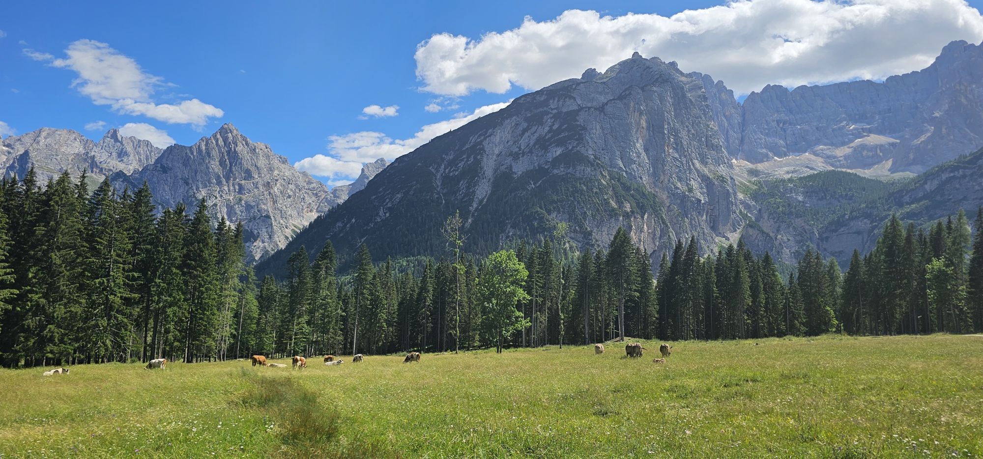
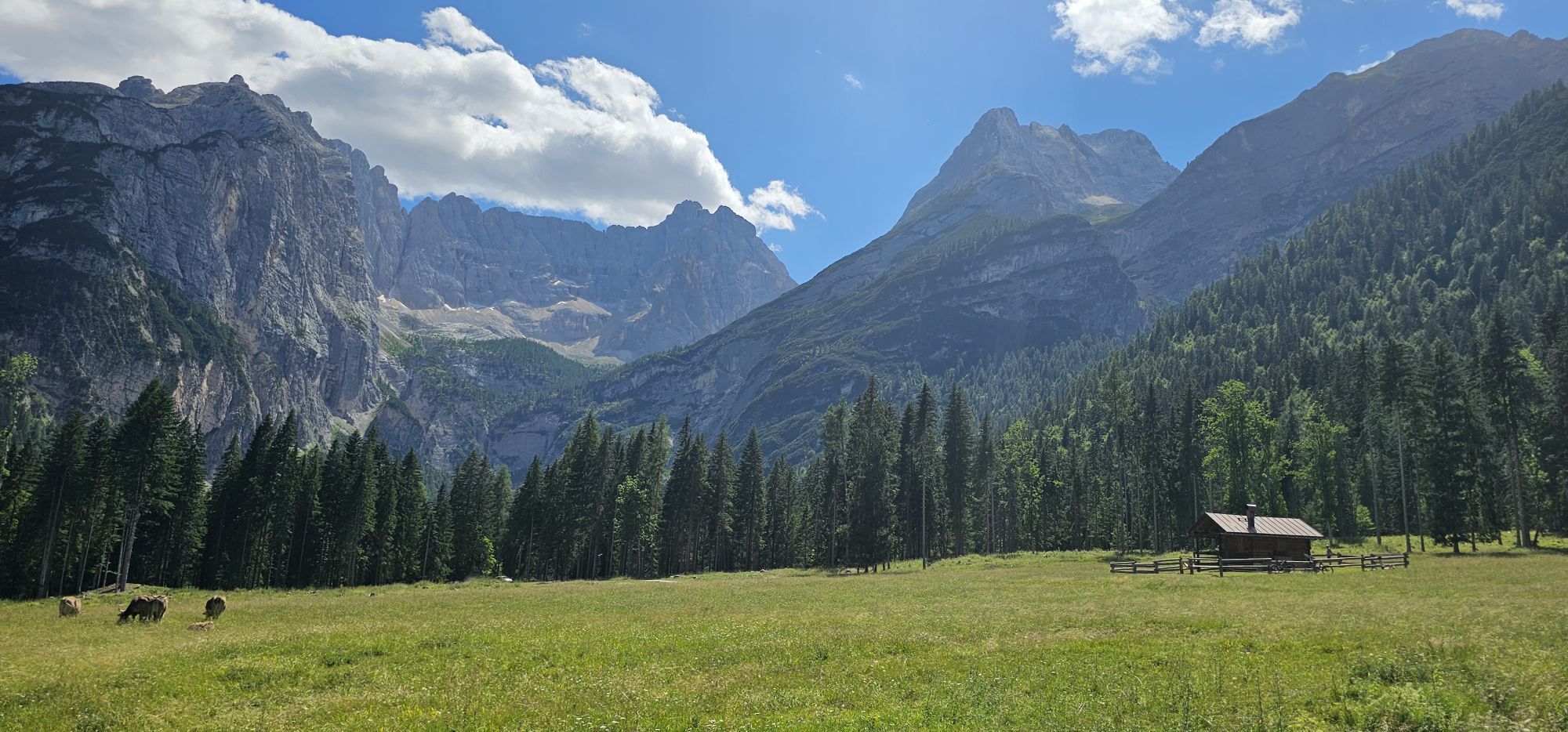
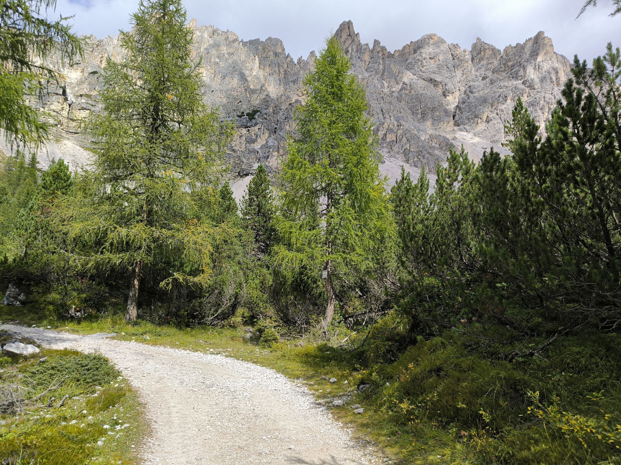
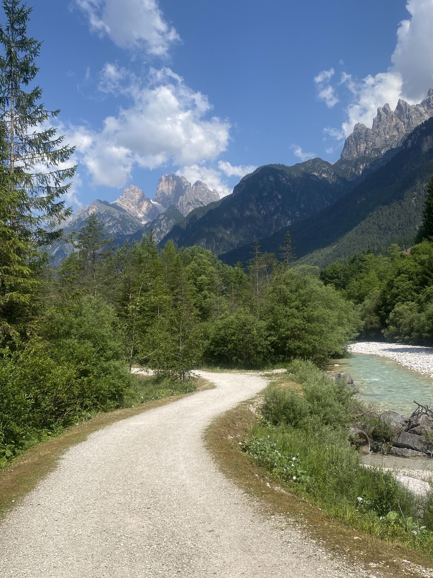
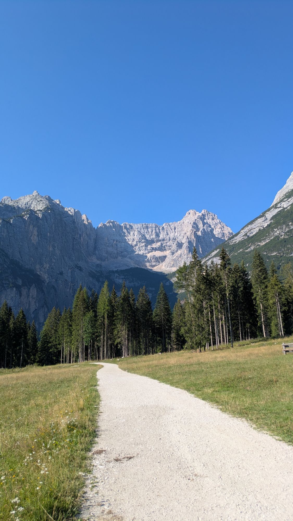
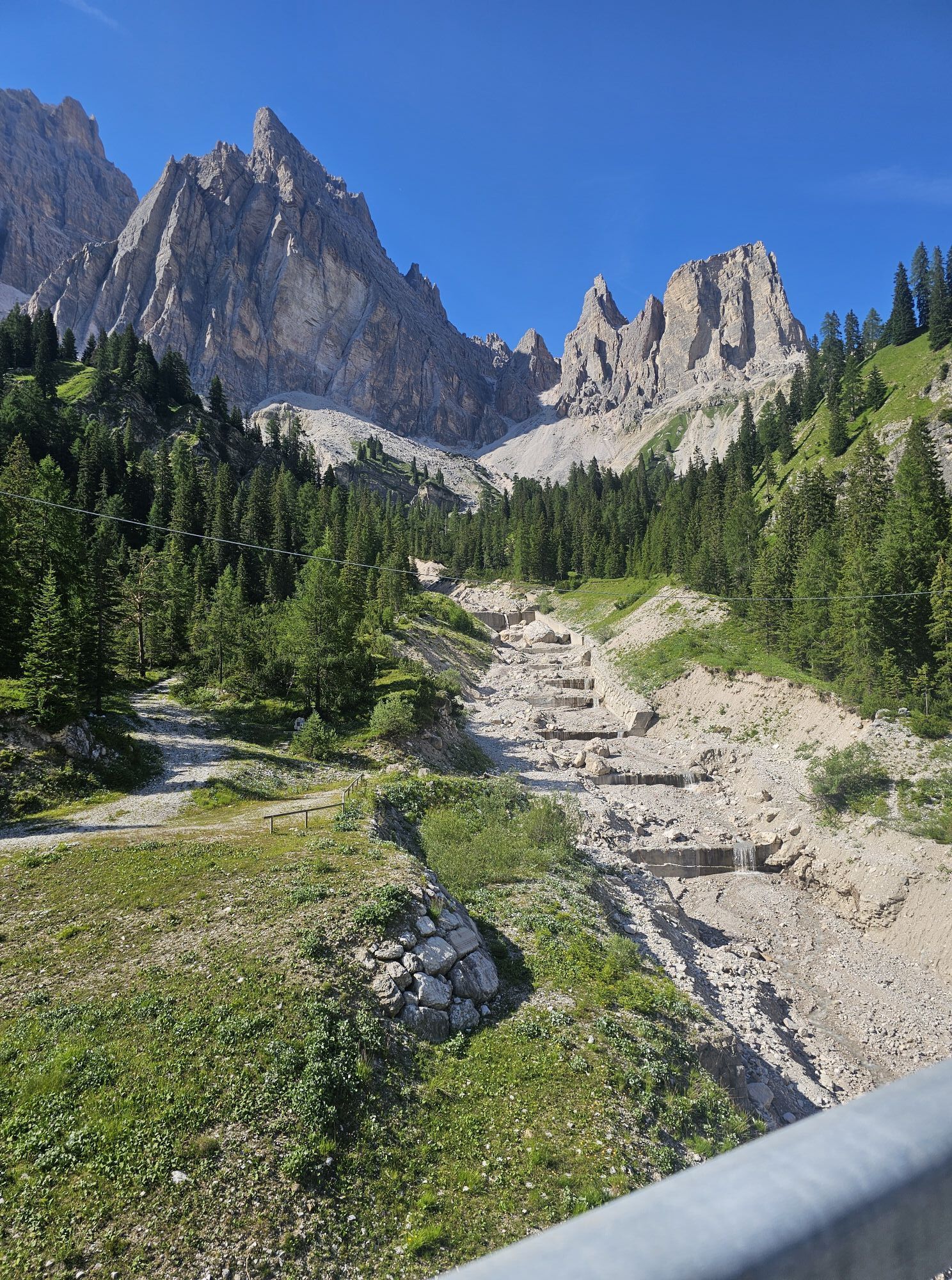
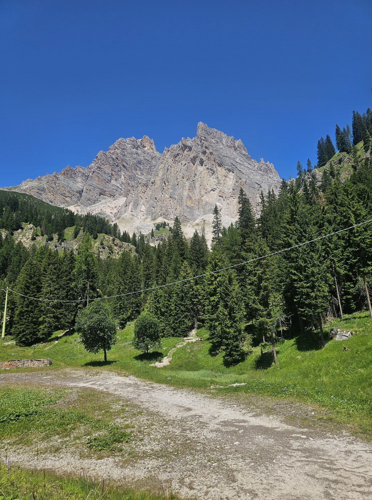
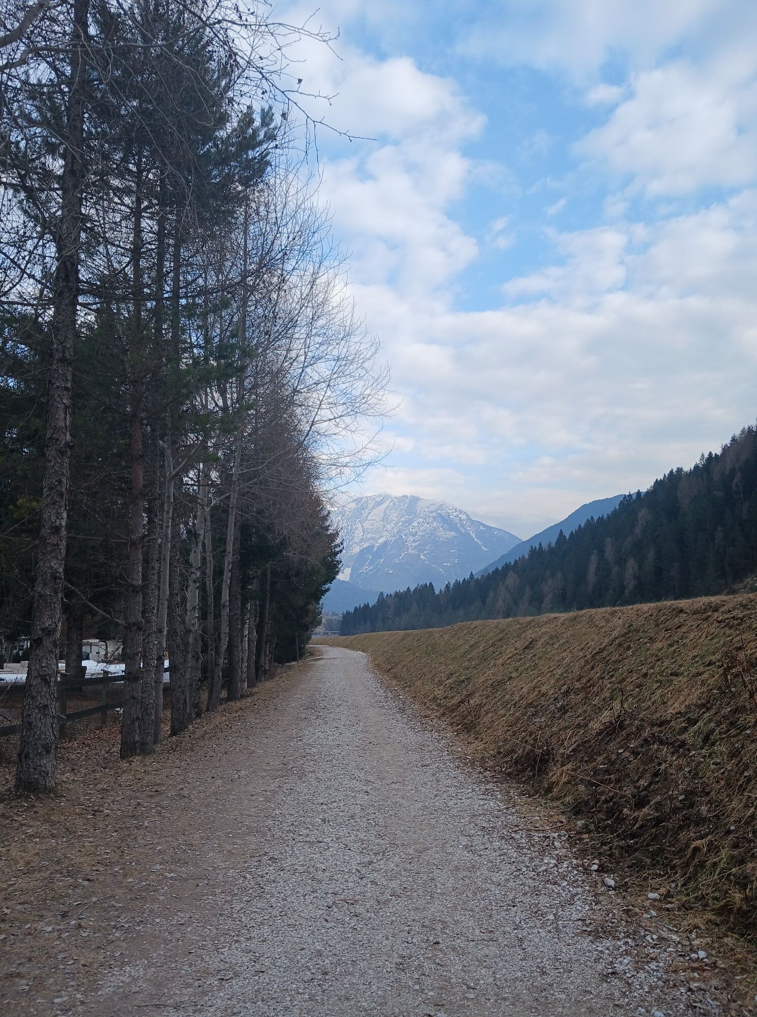
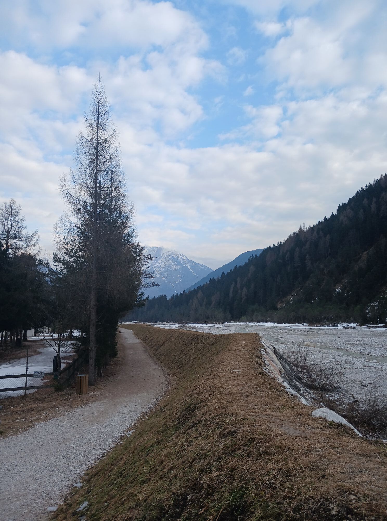
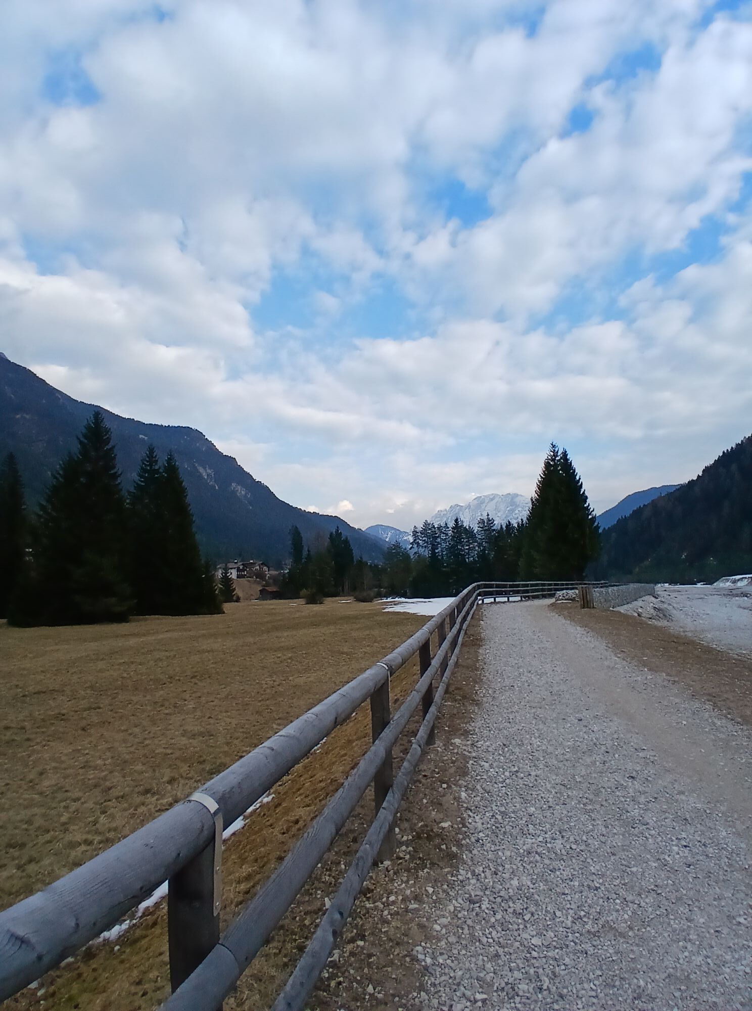
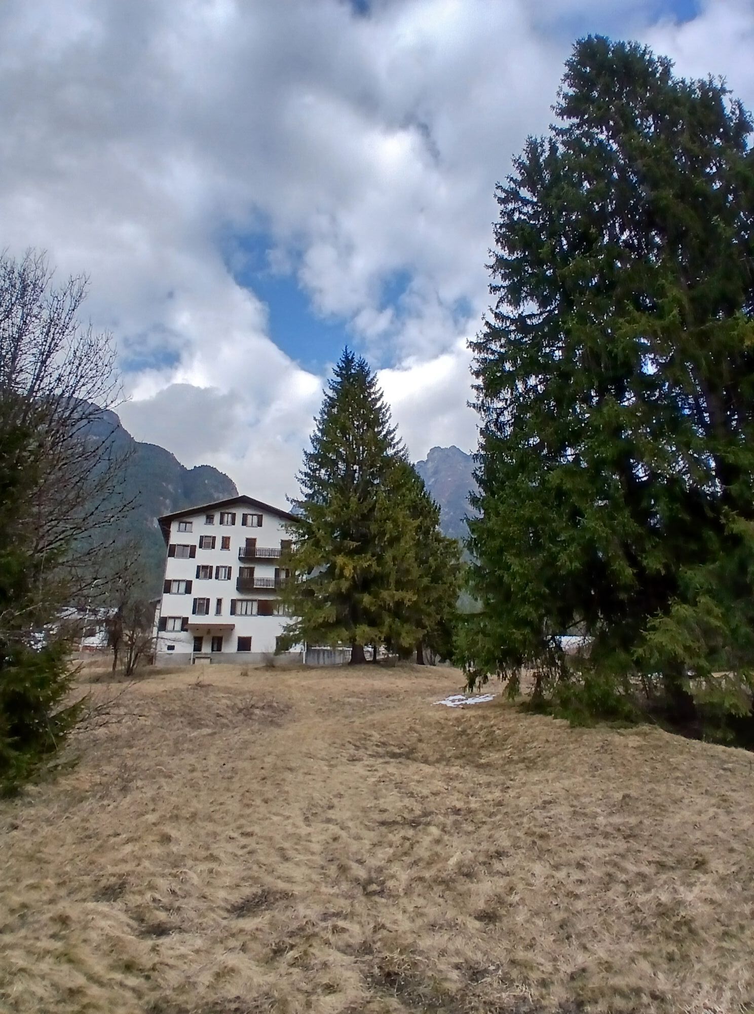
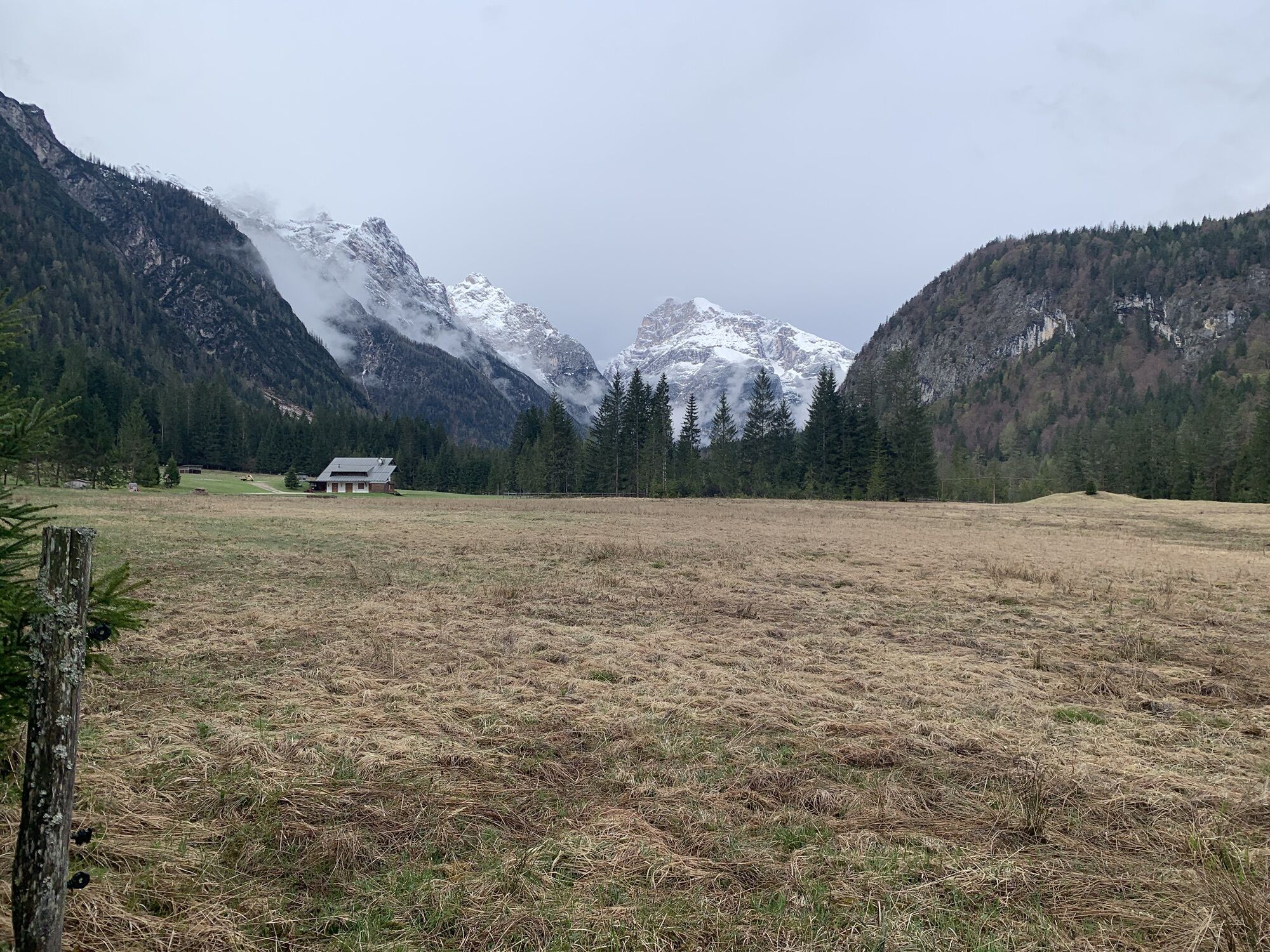
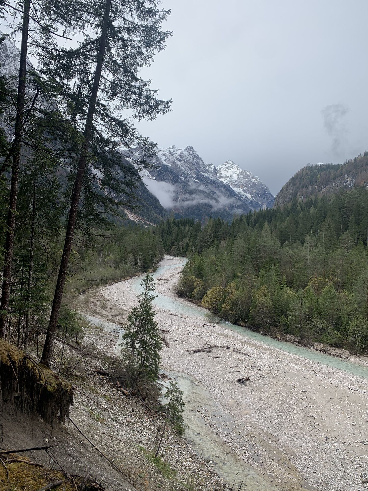
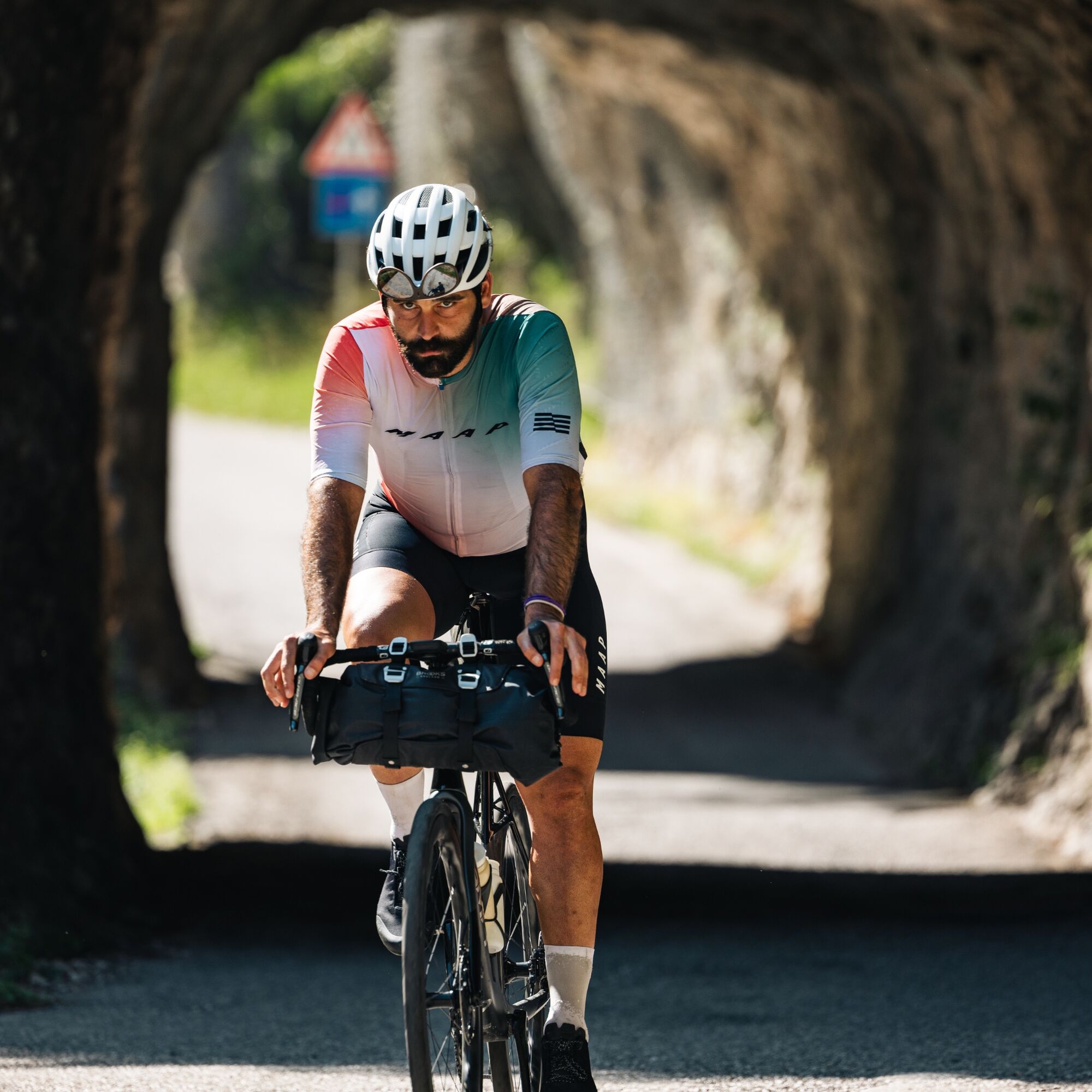
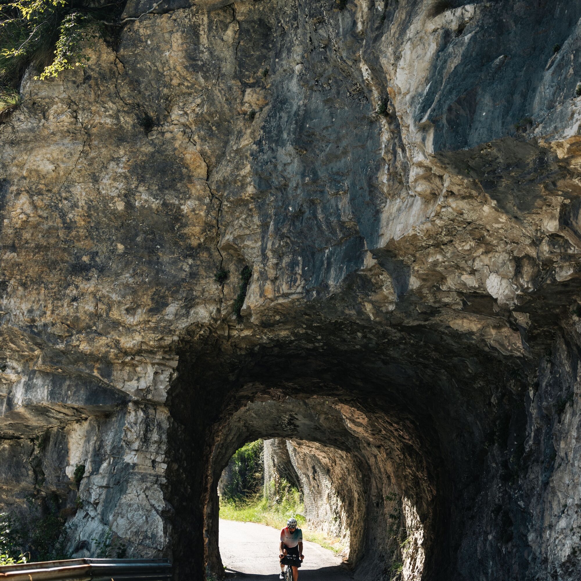
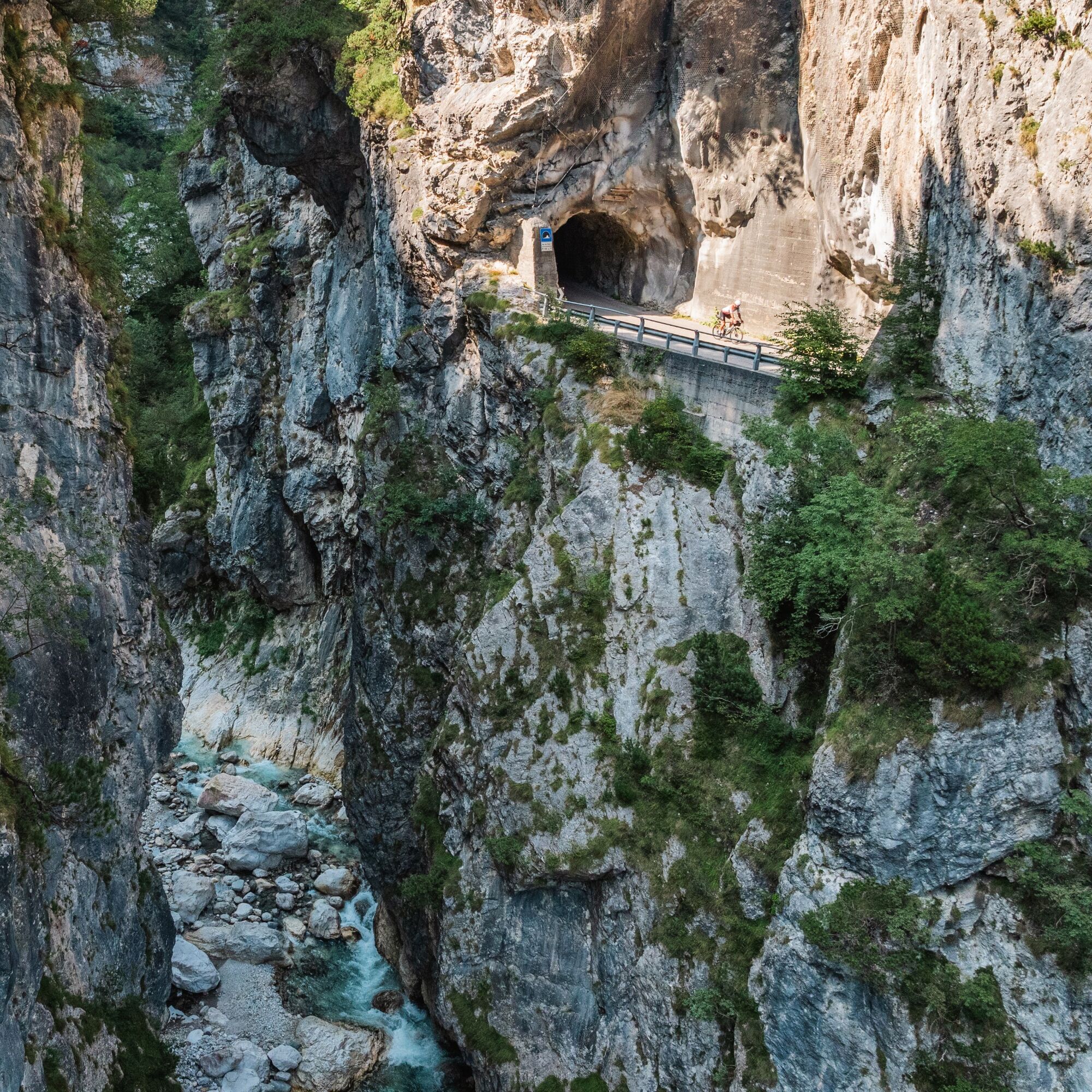
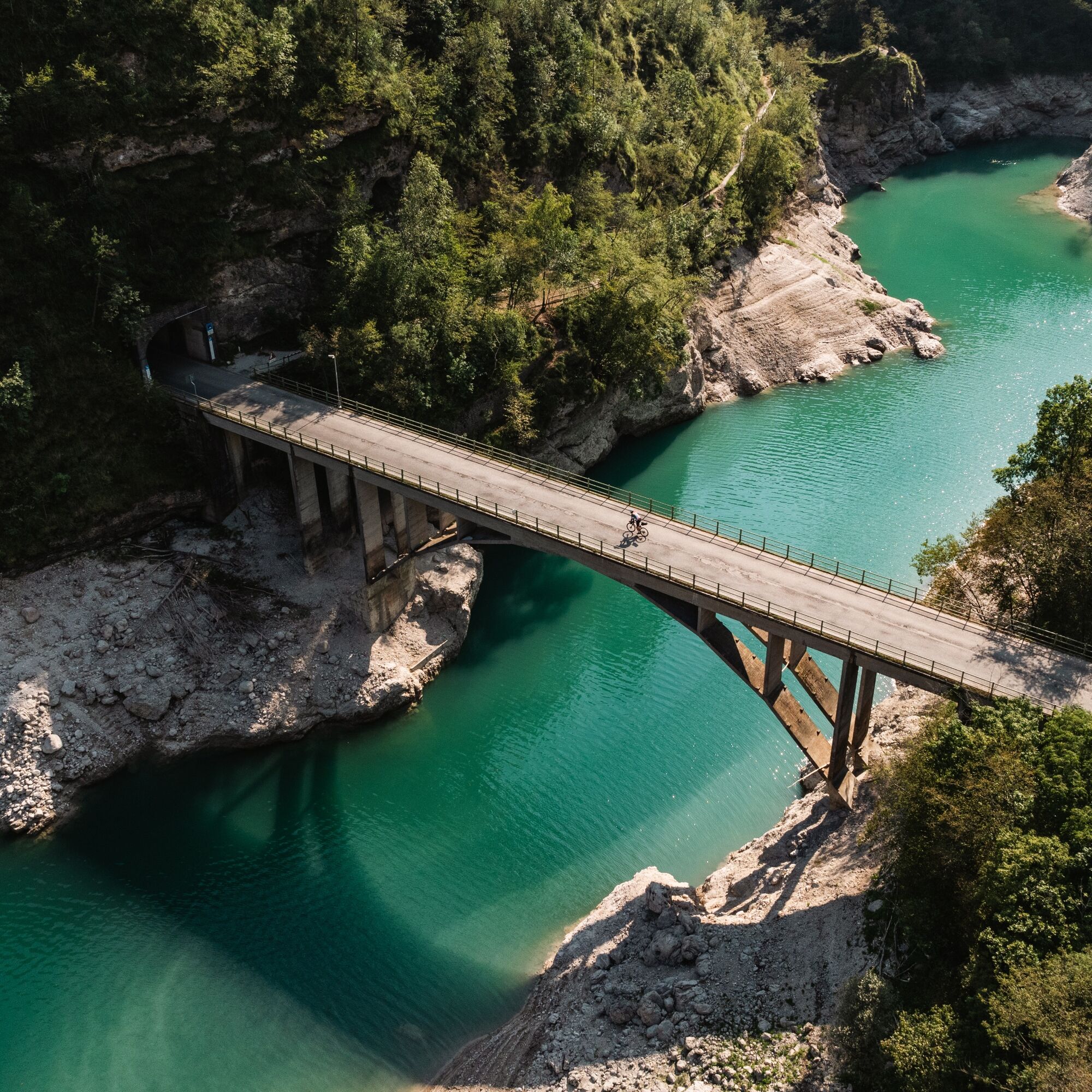
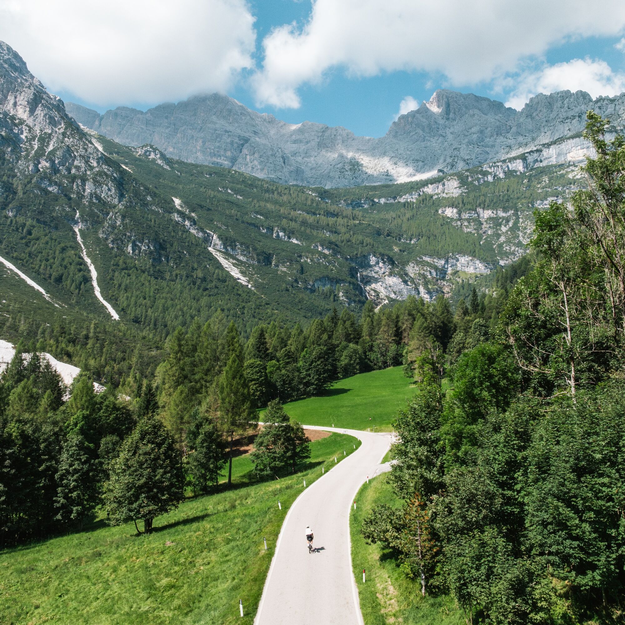
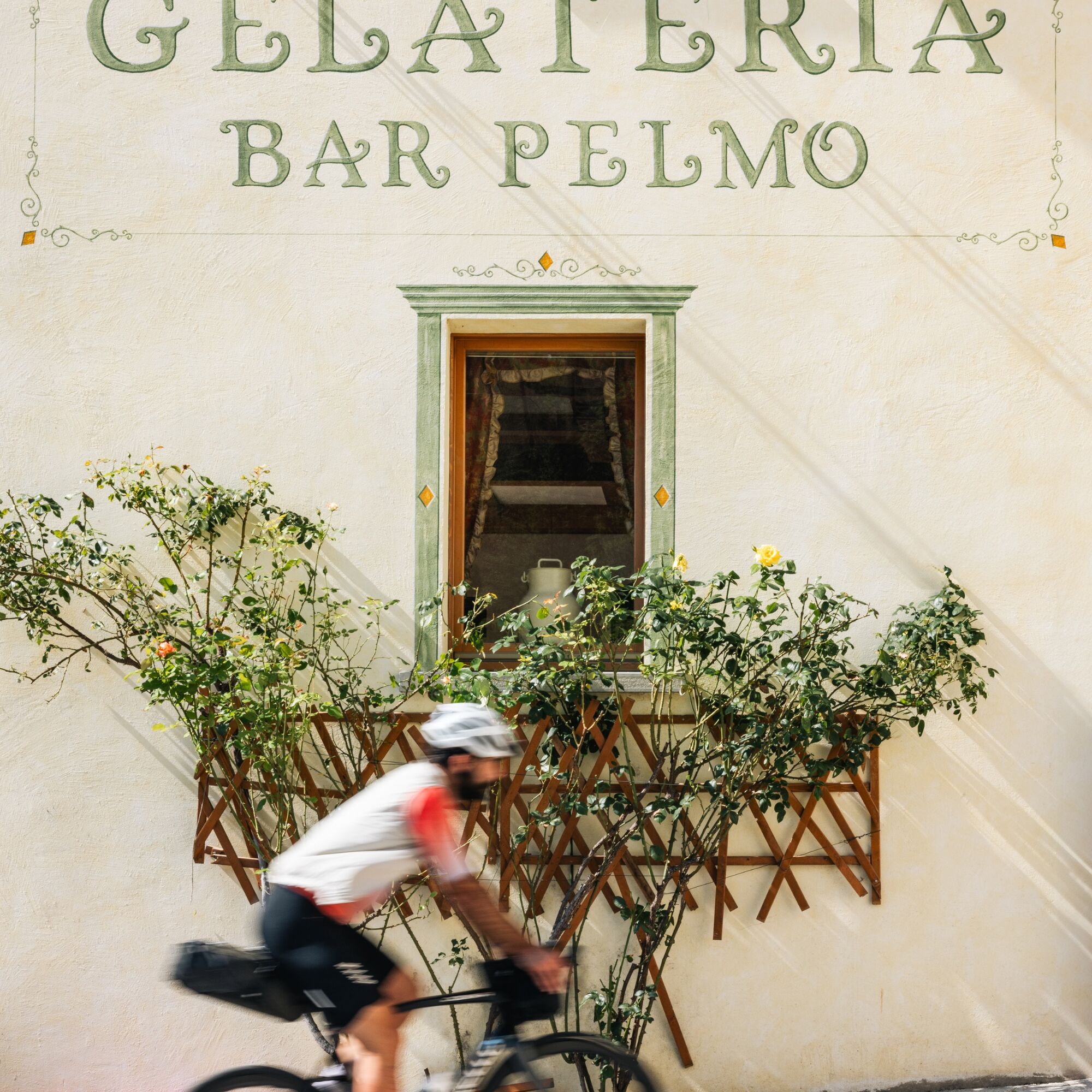
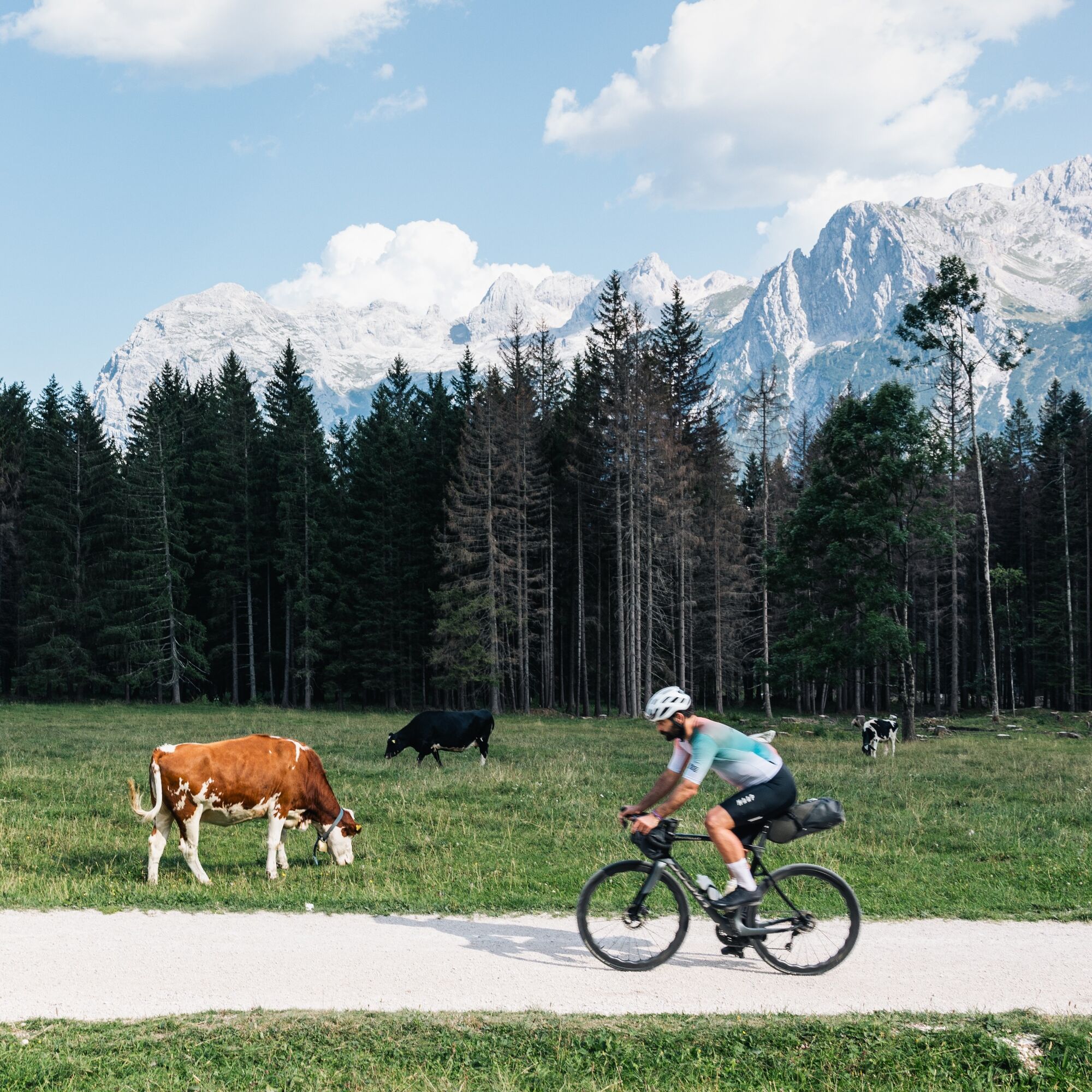
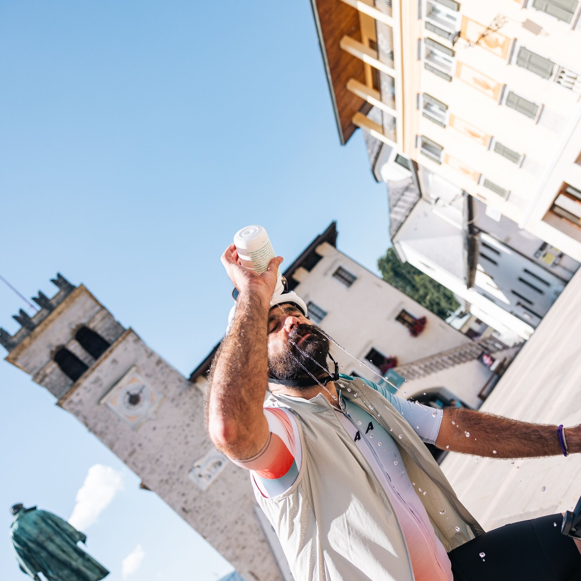
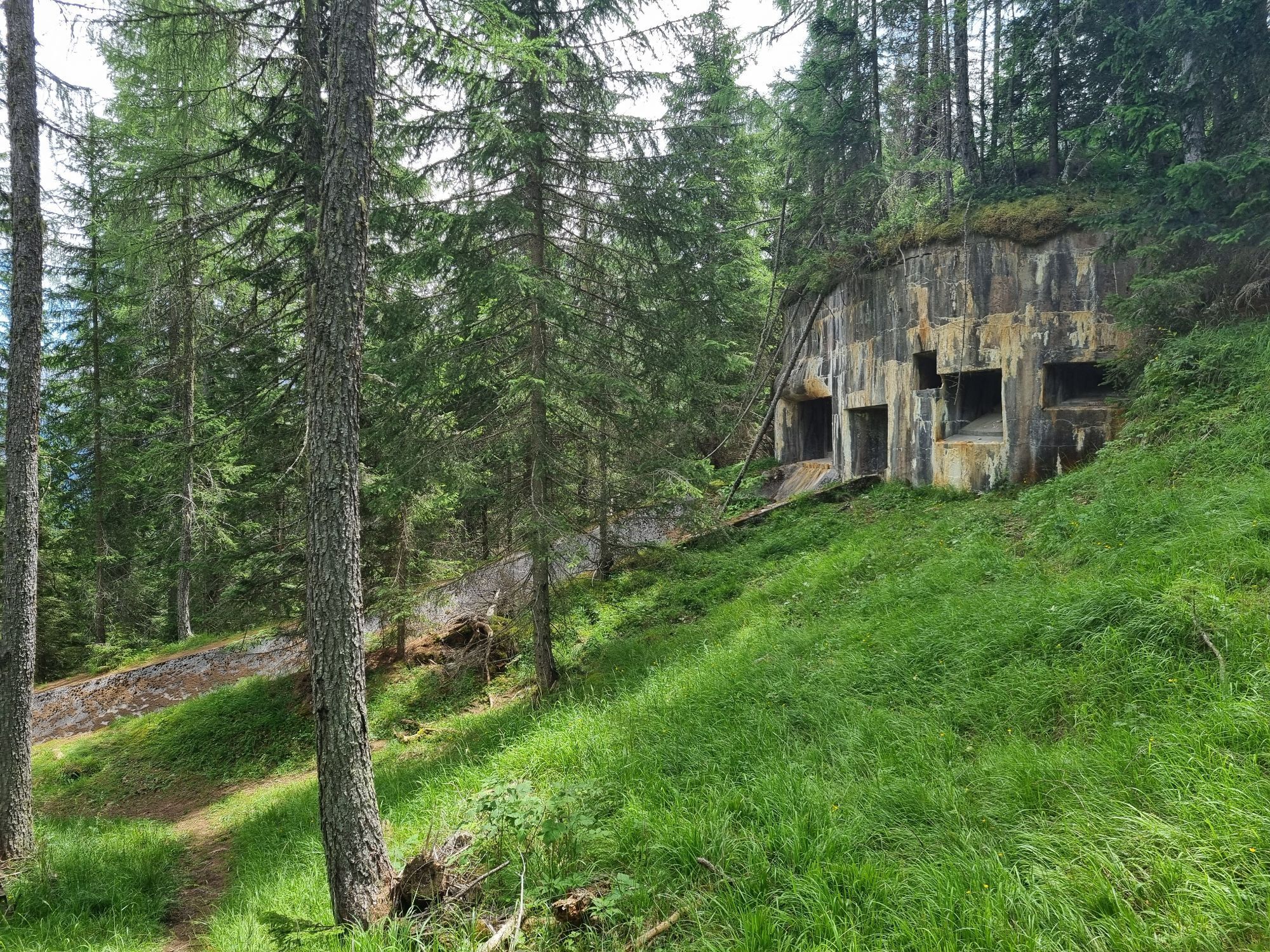
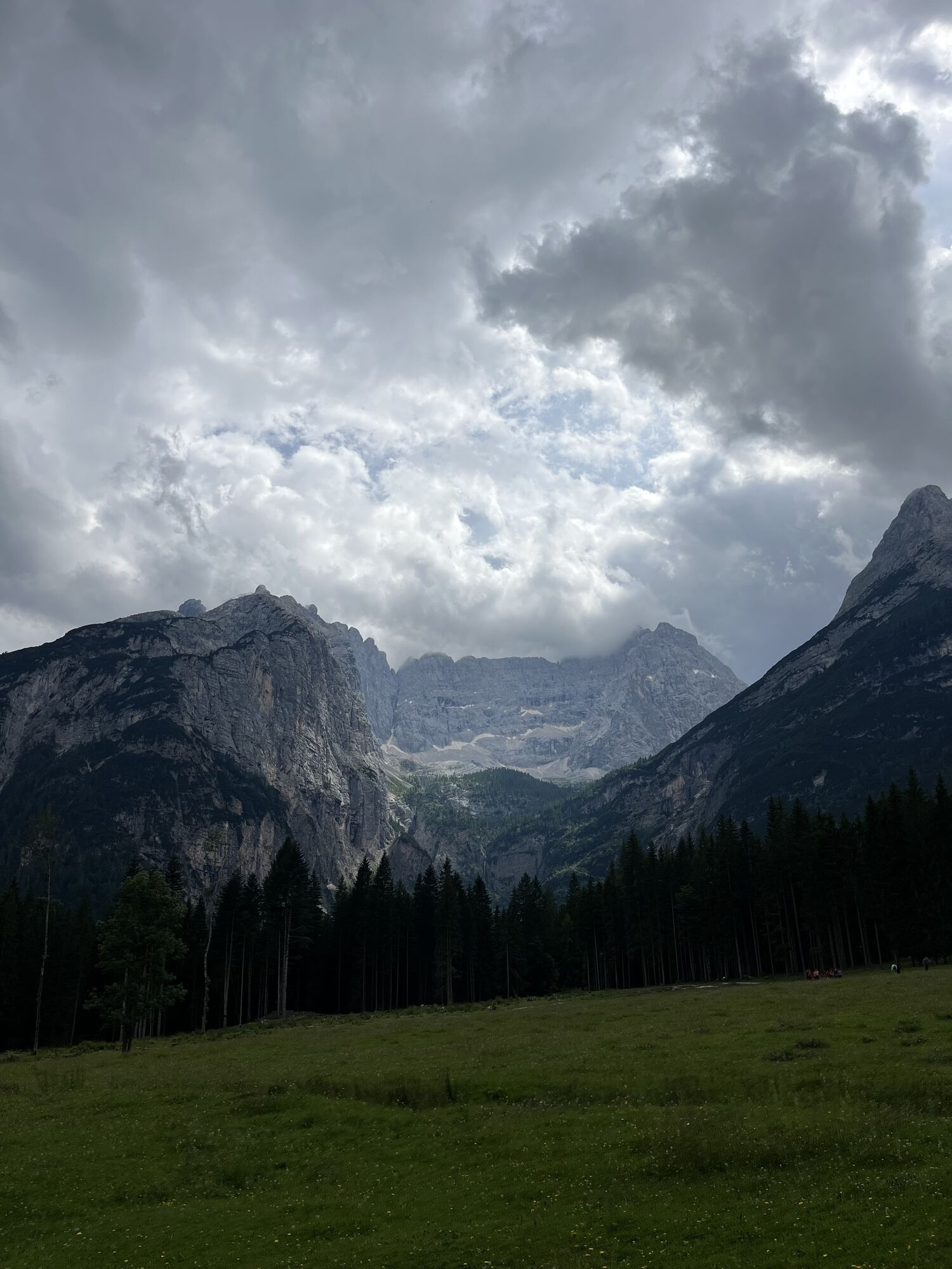
The second stage of the Gran Tour Dolomiti Bellunesi starts in Pieve di Cadore and heads towards the impressive Passo Cibiana, crossing some of the most authentic landscapes in the Dolomites. The route follows the Boite Valley with a gradual and steady ascent that accompanies the cyclist through an increasingly alpine and immersive environment.

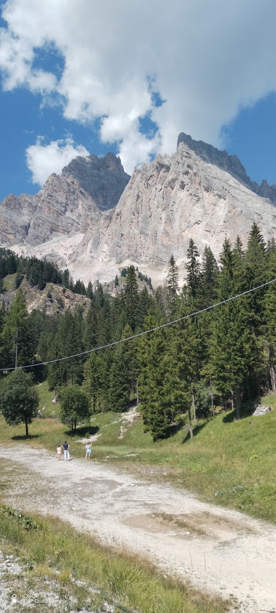
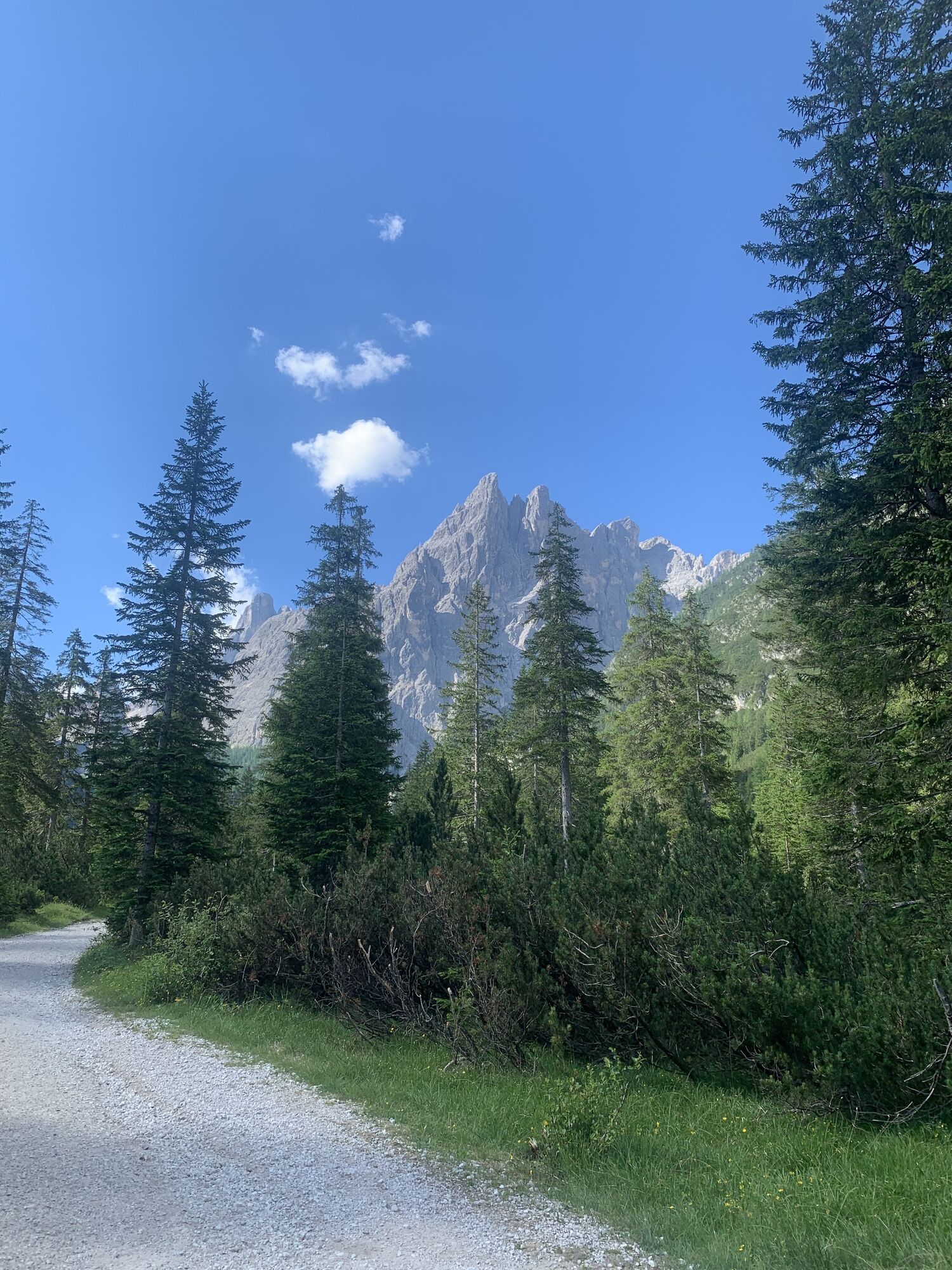
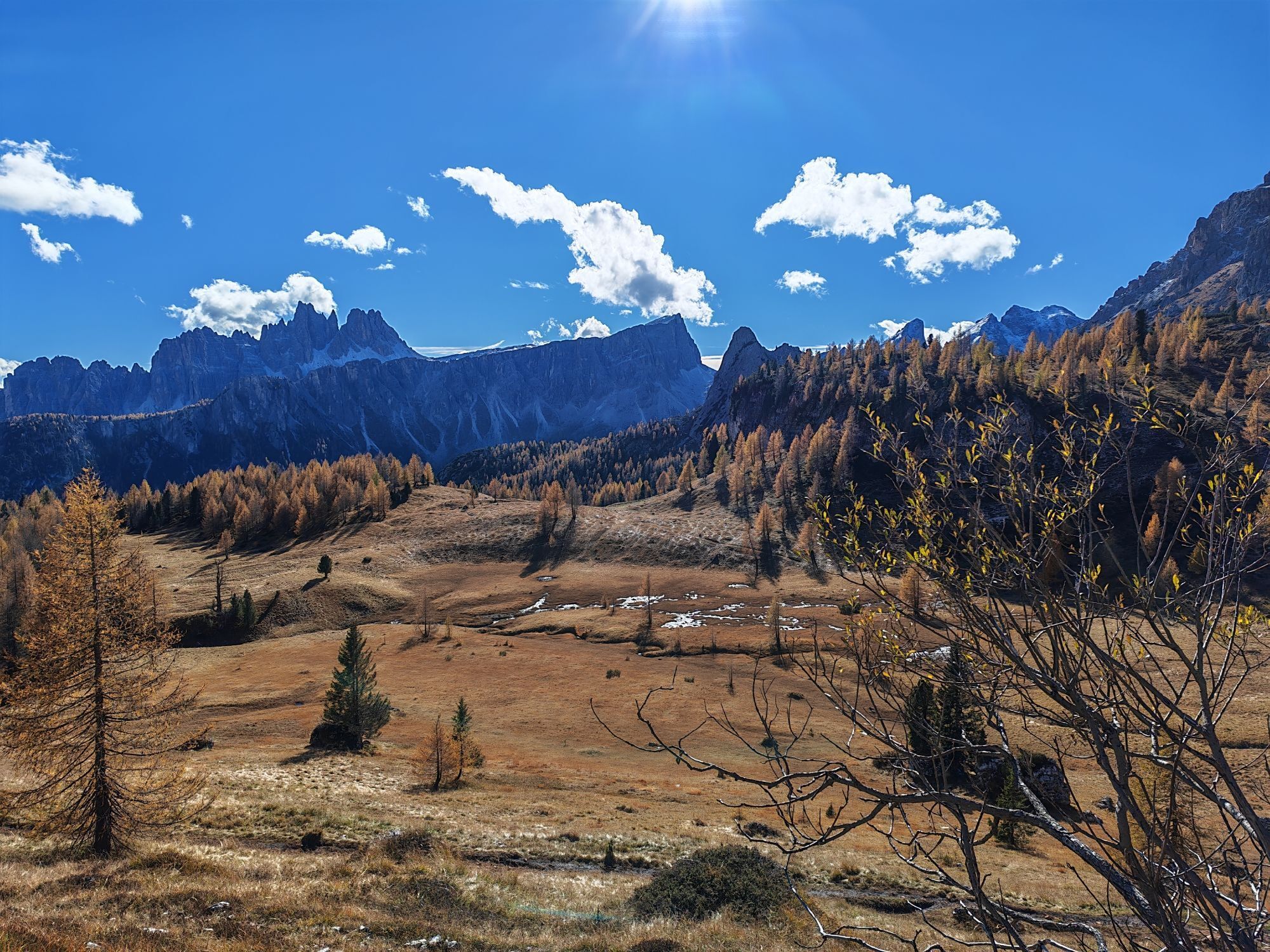
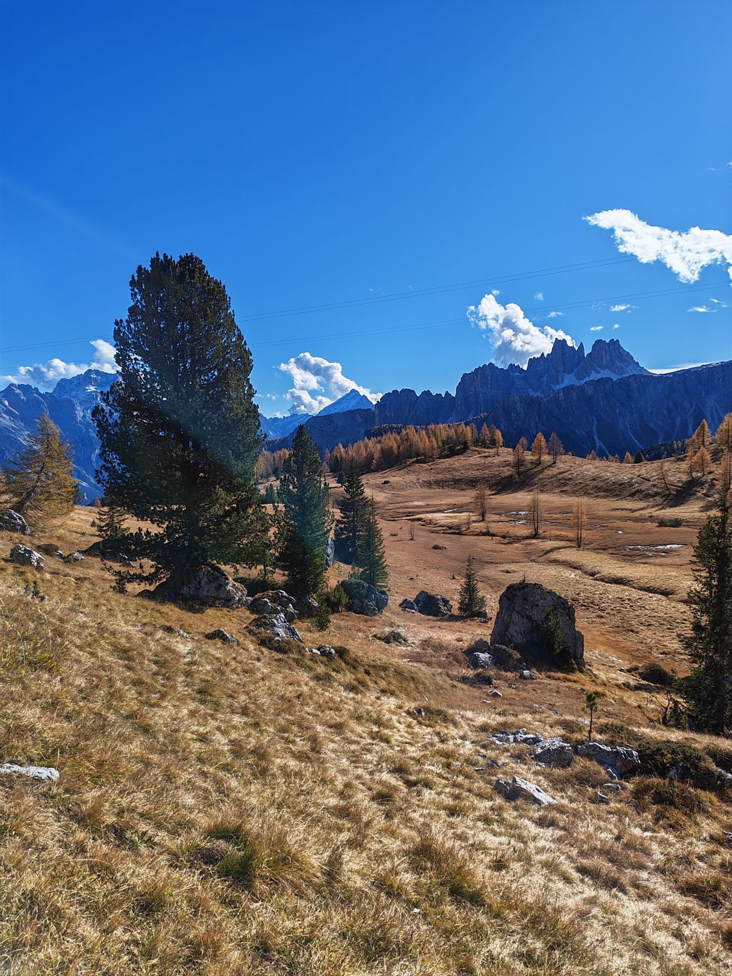
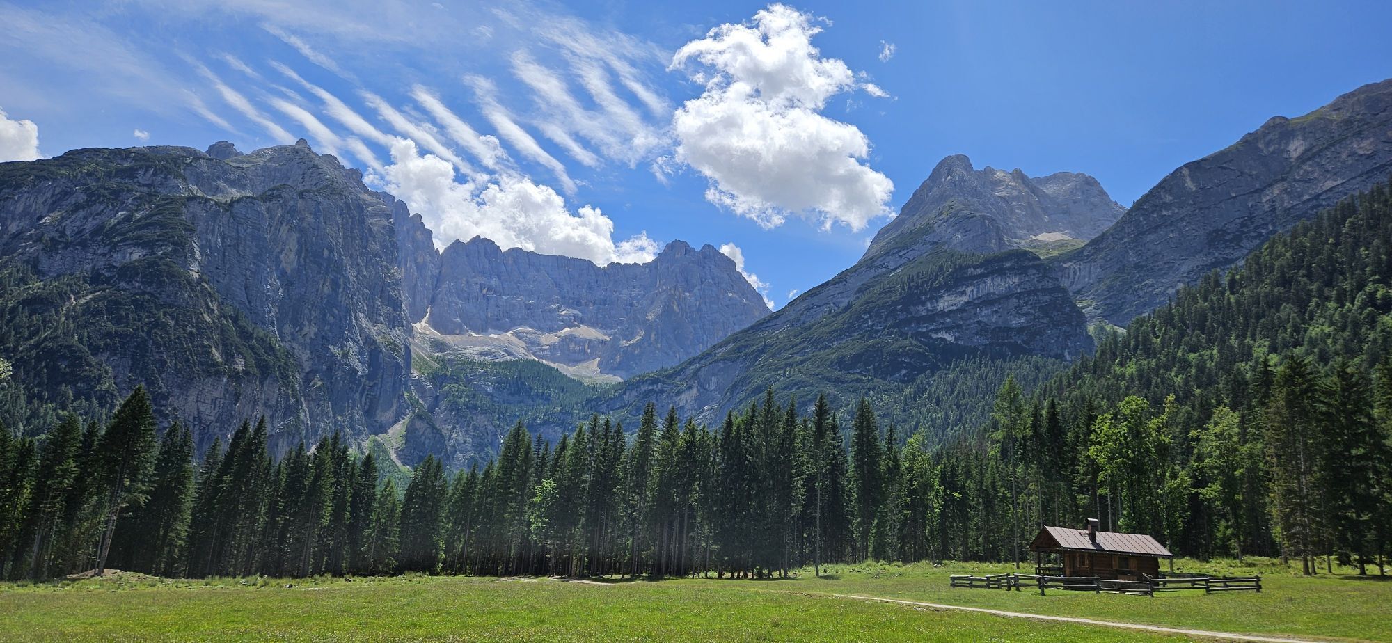
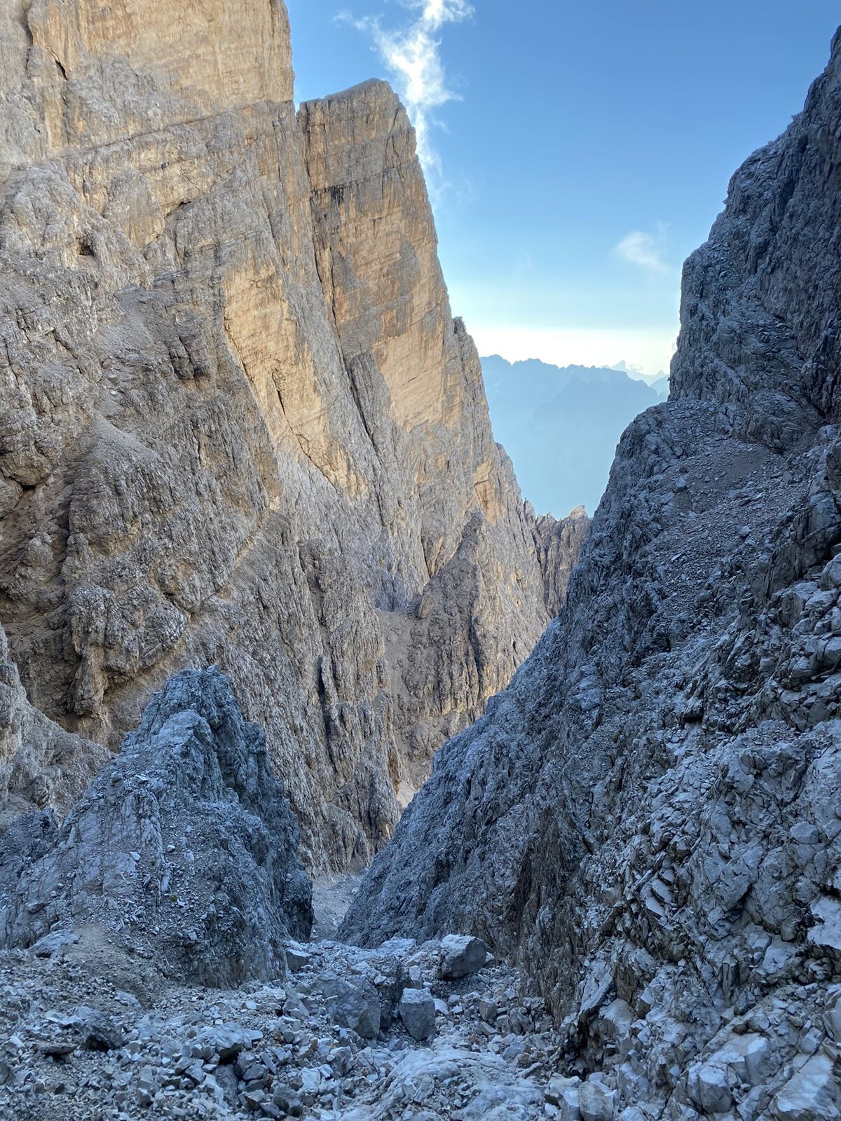
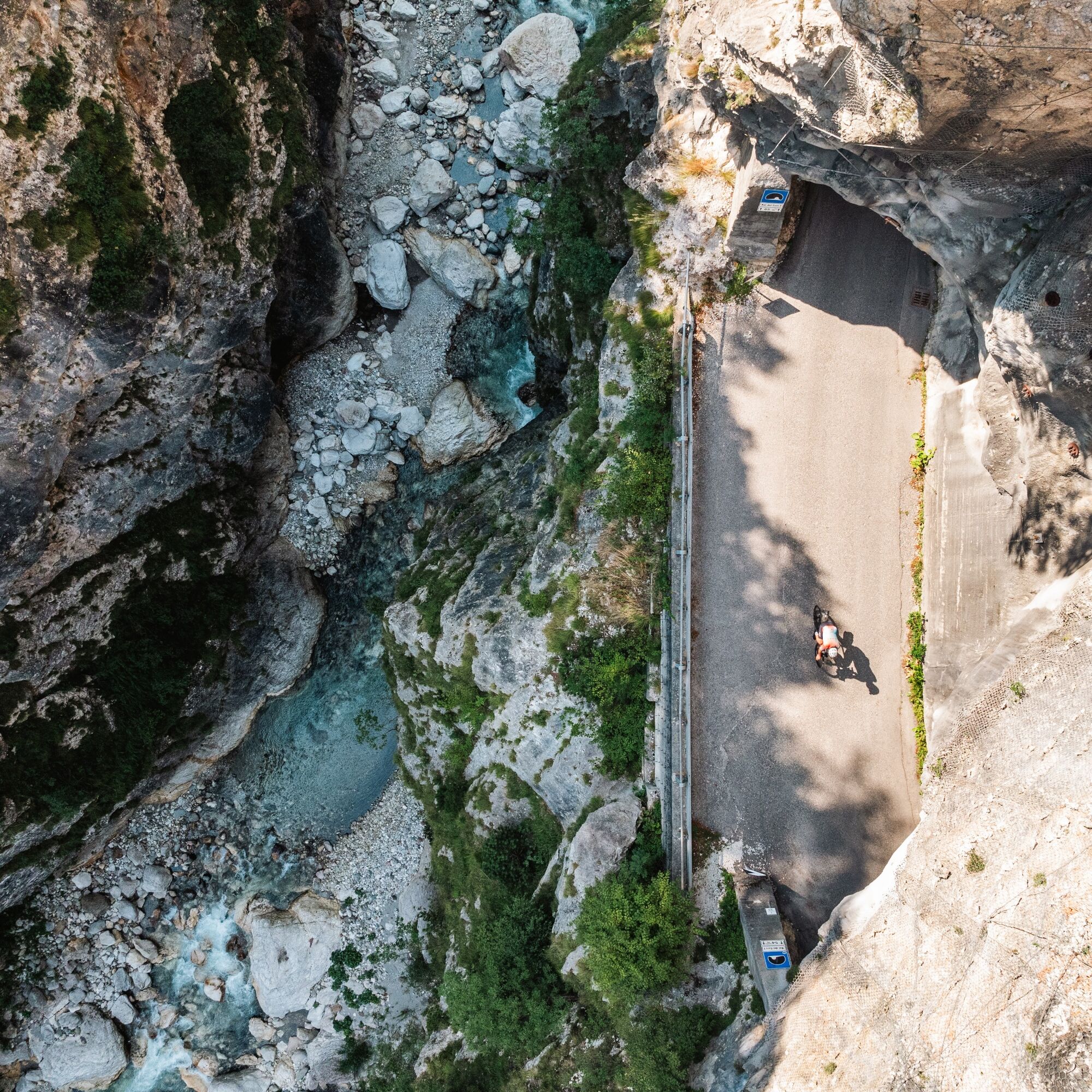
As you climb, the valley narrows and the landscape becomes wilder: dense forests, vertical rock faces, and Dolomite peaks create a spectacular and continuous backdrop. The road winds through natural curves and quiet stretches, offering visually stunning panoramic views. The arrival at Passo Cibiana marks the culmination of a short but intense stage, perfect for getting fully in tune with the atmosphere of the Dolomites.

Pot
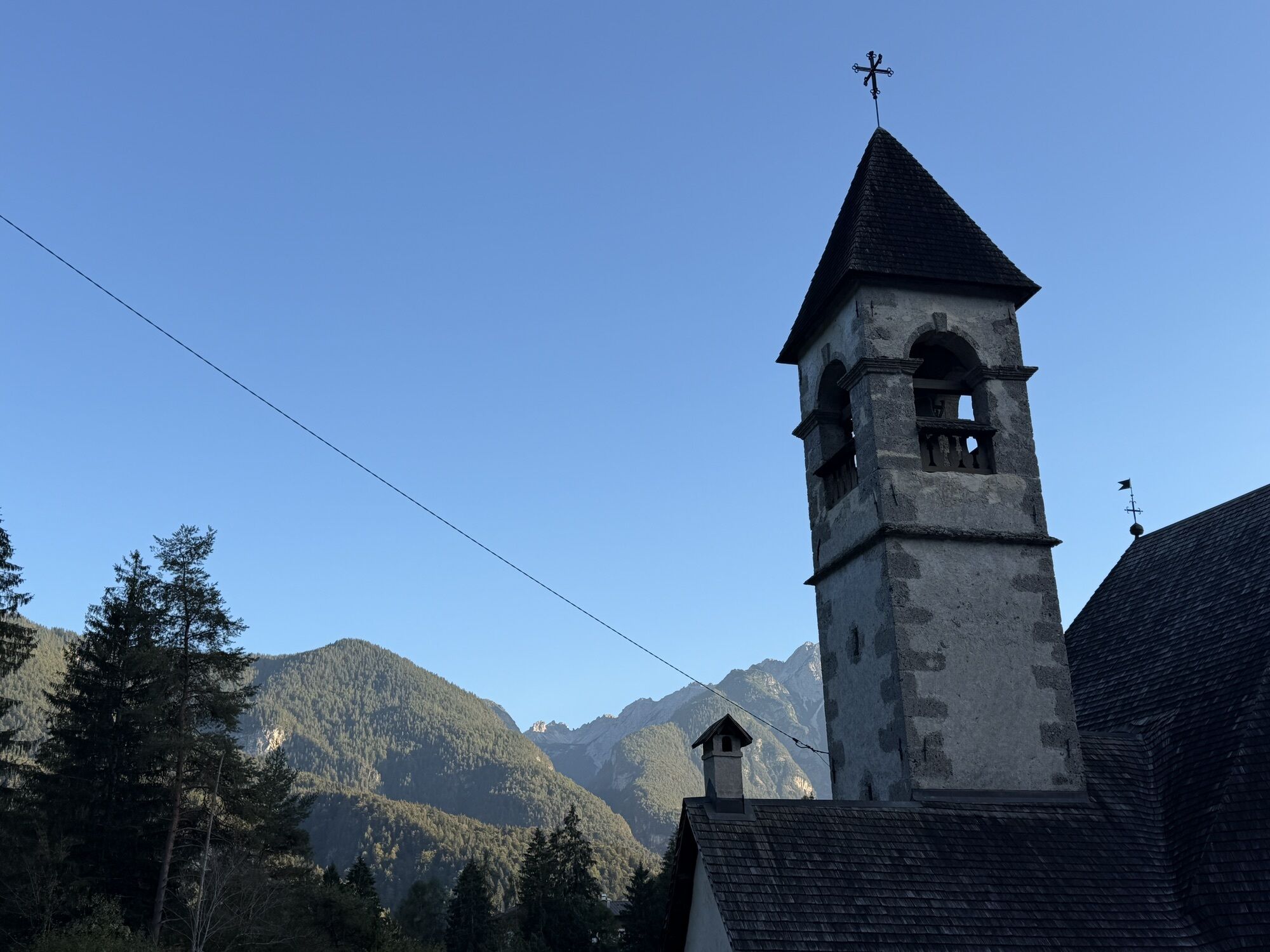
Chiesa della Beata Vergine del Molinà
(706 m)
Kraj čaščenja
4.3 km
La Val
(821 m)
Soseska
8.7 km
chiesa di San Lucano
(845 m)
Kraj čaščenja
18.4 km
Chiesa di Santa Giuliana
(1,330 m)
Kraj čaščenja
54.8 km
Basilica dei Santi Filippo e Giacomo
(1,211 m)
Kraj čaščenja
56.8 km
San Vito di Cadore
(994 m)
Vas
69.3 km
Rifugio Remauro
(1,531 m)
Zavetišče
90.2 km
Pot
Zemljevid
GTDB | Stage 2: Pieve di Cadore -Passo Cibiana
težko
Cestno kolo
90.37 km
Pieve di Cadore
(881 m)
Mesto
0.0 km
Sottocastello di Cadore
(773 m)
Poravnava
0.5 km
Calalzo di Cadore
(813 m)
Vas
3.5 km
Chiesa della Beata Vergine del Molinà
(706 m)
Kraj čaščenja
4.3 km
Passarotto
(735 m)
Koridor/teren
4.6 km
Vallesella
(723 m)
Poravnava
5.6 km
La Cava
(706 m)
Koridor/teren
5.8 km
Perera Basa
(696 m)
Koridor/teren
6.3 km
Domegge di Cadore
(772 m)
Vas
7.2 km
Antica Hostaria
(768 m)
Restavracija
7.2 km
I Marmi
(791 m)
Koridor/teren
8.0 km
Ciarisela
(800 m)
Koridor/teren
8.3 km
La Val
(821 m)
Soseska
8.7 km
Località Sant'Anna
(793 m)
Poravnava
9.6 km
Aurere
(749 m)
Koridor/teren
10.2 km
Busa d Oro
(739 m)
Koridor/teren
10.5 km
i Saute
(737 m)
Koridor/teren
10.6 km
Rimadan
(732 m)
Koridor/teren
10.7 km
Lozzo di Cadore
(753 m)
Vas
10.7 km
Pèrtie
(725 m)
Koridor/teren
10.7 km
al Ritiro
(742 m)
Koridor/teren
11.5 km
Ponteviere
(724 m)
Koridor/teren
11.5 km
la Madoneta
(731 m)
Koridor/teren
11.6 km
Col Campion
(754 m)
Koridor/teren
11.7 km
Ponte Nuovo
(714 m)
Koridor/teren
12.1 km
Treponti
(739 m)
Poravnava
13.3 km
Cima Gogna
(774 m)
Poravnava
14.4 km
Ponte di Campo
(760 m)
Koridor/teren
15.1 km
Santa Caterina
(838 m)
Soseska
17.9 km
chiesa di San Lucano
(845 m)
Kraj čaščenja
18.4 km
Villapiccola
(851 m)
Soseska
18.9 km
Auronzo di Cadore
(863 m)
Mesto
19.8 km
Bar Abla Fenice
(857 m)
Restavracija
20.2 km
Borgata Zandegiacomo
(854 m)
Koridor/teren
20.4 km
Villagrande
(864 m)
Soseska
21.6 km
Reane
(872 m)
Soseska
22.3 km
Giralba
(934 m)
Vas
25.4 km
Pian Tamei
(956 m)
Koridor/teren
27.1 km
Ponte degli Alberi
(1,134 m)
Koridor/teren
37.3 km
Rio Gere
(1,685 m)
Restavracija
49.7 km
Ristorante Lago Scin
(1,482 m)
Restavracija
53.1 km
Lago Scin
(1,481 m)
Poravnava
53.1 km
Chiesa di Santa Giuliana
(1,330 m)
Kraj čaščenja
54.8 km
Al Camin
(1,326 m)
Restavracija
55.0 km
Alverà
(1,328 m)
Poravnava
55.0 km
Chiesa Sancta Maria ad Montes
(1,267 m)
Kraj čaščenja
55.5 km
Funivia Faloria
(1,222 m)
Postaja gondole
56.3 km
Cortina d'Ampezzo
(1,218 m)
Mesto
56.7 km
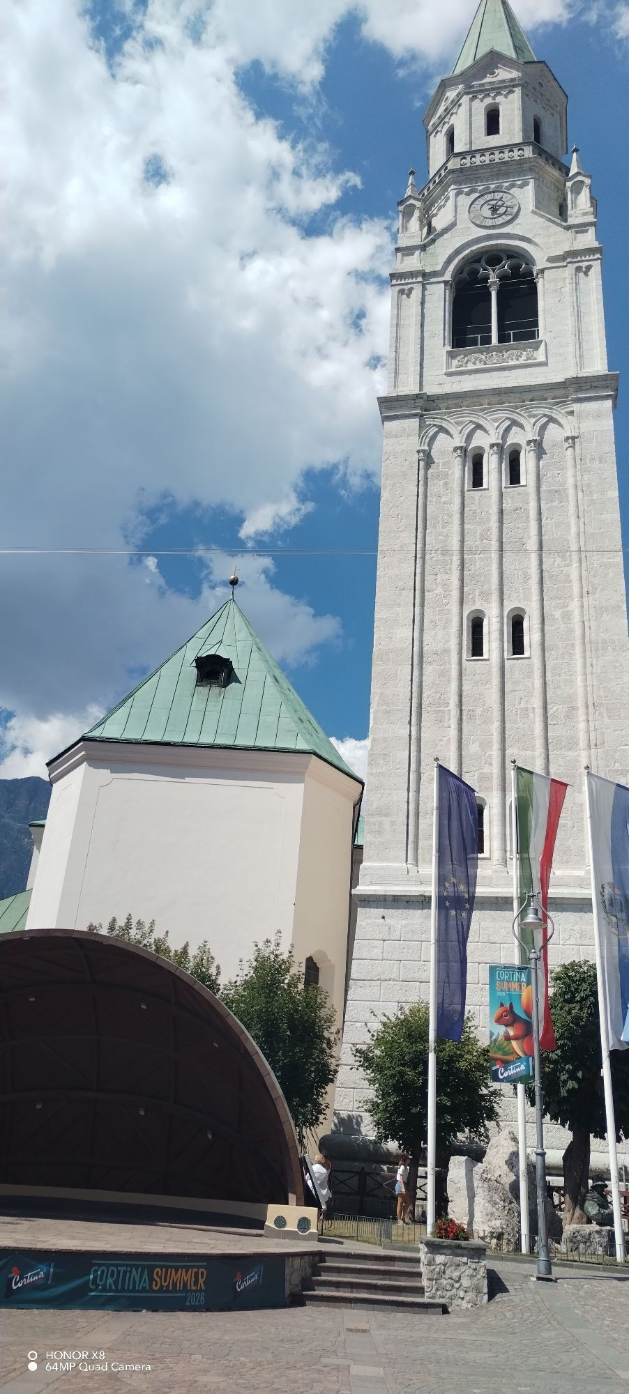
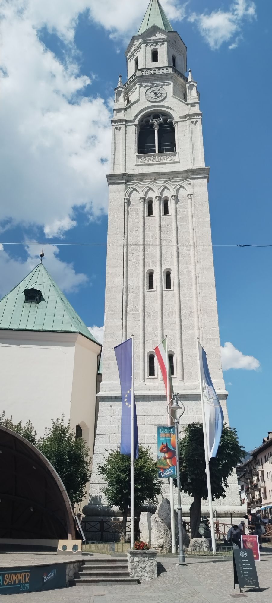
Basilica dei Santi Filippo e Giacomo
(1,211 m)
Kraj čaščenja
56.8 km
Chiesa di San Francesco
(1,197 m)
Kraj čaščenja
57.3 km
Chiesa della Madonna della Difesa
(1,187 m)
Kraj čaščenja
57.5 km
Peziè
(1,177 m)
Soseska
59.3 km
Pian da Lago
(1,099 m)
Soseska
61.2 km
Acquabona
(1,120 m)
Poravnava
61.6 km
Trattoria La Scaletta
(1,025 m)
Restavracija
67.5 km
Chiappuzza
(994 m)
Soseska
67.7 km
Pizzeria La Stua
(1,008 m)
Restavracija
68.7 km
San Vito di Cadore
(994 m)
Vas
69.3 km
Bar ristorante da Massarotto
(987 m)
Restavracija
69.7 km
Borca di Cadore
(919 m)
Vas
71.9 km
Bar ristorante pizzeria Croera
(946 m)
Restavracija
72.1 km
I Manicaretti
(916 m)
Restavracija
74.9 km
Vodo di Cadore
(890 m)
Vas
75.1 km
Alpino
(899 m)
Restavracija
75.4 km
Peaio
(877 m)
Vas
76.8 km
Le Nove
(955 m)
Poravnava
83.0 km
Col
(983 m)
Poravnava
83.3 km
Gesiola di Masarié
(976 m)
Kraj čaščenja
83.6 km
Masarié
(978 m)
Poravnava
83.7 km
Taulà dei Bos
(976 m)
Restavracija
83.7 km
San Lorenzo
(1,019 m)
Kraj čaščenja
84.1 km
Cibiana di Cadore
(1,021 m)
Vas
84.1 km
Cibiana di Sotto
(992 m)
Poravnava
84.6 km
Pianezze
(1,059 m)
Poravnava
84.6 km
Cappella di Strassei
(1,030 m)
Kraj čaščenja
84.7 km
Strassei
(1,028 m)
Poravnava
84.8 km
Rifugio Remauro
(1,531 m)
Zavetišče
90.2 km
Ristorante Deona
(1,523 m)
Restavracija
90.3 km
Informacije o turneji

From Pieve di Cadore to Cibaian Pass, a spectacular Dolomite stage between alpine climbs, forests and iconic Dolomite scenery.

Tehnologija
4 / 6
Stanje
6 / 6
Pokrajina
6 / 6
Izkušnje
6 / 6
Najboljši letni čas
Jan
Feb
Mar
Apr
Maj
Jun
Jul
Avg
Sep
Okt
Nov
Dec
Skupna turneja
Zemljevid
GTDB | Stage 2: Pieve di Cadore -Passo Cibiana
težko
Cestno kolo
90.37 km
Napaka
Zgodila se je napaka. Prosimo, poskusite znova.
Informacije o poti
Pot

from Pieve di Cadore take the SS51 towards Auronzo di Cadore, continue along the Boite Valley following the signs for Cibiana di Cadore until the final climb to the Cibiana Pass.

Ogled vrha

Da

Oprema
Racing or endurance bicycle

Mandatory helmet

Basic repair kit

1-2 water bottles

Layered technical clothing

Windproof jacket

Energy snacks

Varnostna navodila

Busy main road: maximum attention to vehicles

Tunnels and curves between Cadore and Cortina

Possible rapid weather changes at altitude

Descent to Cortina to be approached with caution

Helmet and lights always recommended

Informacije o prihodu
Prihod

In auto arrivando da fuori la provincia di Belluno, si percorre l’autostrada A27 fino a Belluno e poi si prosegue lungo la SS51 di Alemagna in direzione Cadore.

Stessa cosa se invece sei della Provincia di Belluno, procedi per la SS51 di Alemagna risalendo la valle lungo il corso del Piave, con un tragitto diretto e panoramico che porta in circa un’ora nel Cadore.

Javni prevoz
The reference railway station is Calalzo-Pieve di Cadore-Cortina Station, connected by regional trains from Venice, Treviso, Padua and Belluno; there is often a change in Ponte nelle Alpi or Belluno.

Local Dolomiti Bus buses then depart from the Calalzo station, quickly connecting Pieve di Cadore and the main towns in Cadore.

Dodatne informacije in nasveti
Stopnja težavnosti

4
Nasveti

Panoramic and progressive stage: from the valleys of Cadore to the Cortina basin through forests, Dolomite curves and gentle climbs.

Še ni pregledov
Napišite pregled

Mnenja pomagajo drugim uporabnikom pri izbiri naslednje pustolovščine. Ocenite samo izlet, ne pa tudi vremena ali prigrizka.

Izberite eno od zvezdic, da ocenite ogled
Slaba turneja
Šibka turneja
Povprečna turneja
Dobra tura
Odlična tura
Pohodništvo in sledenje

Pohodništvo in sledenje

prenos za iOSprenos za Android
Pohodništvo in sledenje
Zaradi več kot 550.000 predlogov izletov, podrobnih zemljevidov in intuitivnega načrtovanja poti je aplikacija obvezna oprema za vse ljubitelje narave.
bergfex