







Mauria Pass
Stopnja težavnosti: 3
The Mauria Pass is one of the historic links between Veneto and Friuli and is a symbolic climb for cycling and Giro d'Italia fans. The route, to be tackled entirely by bicycle, passes through a spectacular...
The Mauria Pass is one of the historic links between Veneto and Friuli and is a symbolic climb for cycling and Giro d'Italia fans. The route, to be tackled entirely by bicycle, passes through a spectacular natural environment of alpine forests, fresh air and typical views of the Dolomites. The climb starts from Lorenzago di Cadore and takes cyclists on a silent route immersed in nature to the pass, located at an altitude of 1,298 meters. Over the years, the Mauria Pass has been included several times in the stages of the Giro d'Italia as a strategic link between Cadore and Carnia, becoming a beloved destination for both bicycle tourists and those seeking authentic routes away from the more crowded passes. Once the summit is reached, the route can continue toward Forni di Sopra among beautiful mountain scenery.

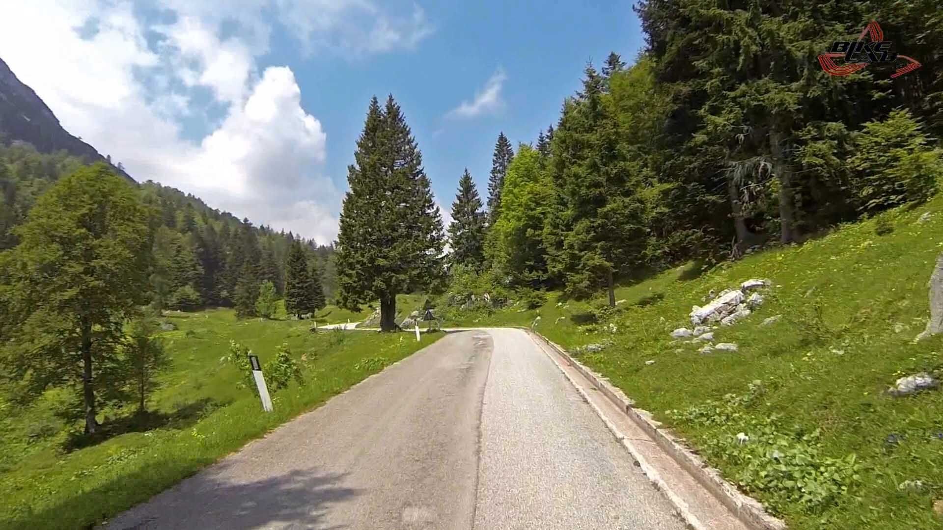

From Lorenzago follow the SS52 Carnica road in the direction of Passo Mauria/Forni di Sopra. The road climbs with a steady gradient through the forest to the pass.
Road bikes, gravel bikes
Helmet mandatory
Agile ratios for climbing
Water bottle and repair kit
Windproof jacket for the descent
Route to be taken exclusively by bicycle. Pay attention to traffic on SS52, especially downhill and on summer weekends.
From Belluno, follow the SS51 Alemagna road in the direction of Cadore to Tai di Cadore, then continue toward Lorenzago di Cadore following the signs for the SS52 Carnica road.
The Dolomitibu bus service departs from the train station, specifically line 035 Calalzo FS - Lorenzago - Villapiccola, which connects Calalzo directly to Lorenzago in about 10-15 minutes. In summer periods some runs also allow bicycle transport.
3
Set off early in the morning: the cool forest and silence of the Mauria provide a true Giro stage atmosphere.
Pridobite vpogled Vedno v živo na mestu z več kot 9.500 spletnimi kamerami. bergfex Kot uporabnik Pro si lahko zdaj ogledate ustrezne spletne kamere za številne izlete v aplikaciji izleti iz. Tako si lahko neposredno ogledate trenutne razmere. Priljubljeni izleti v okolici
- 5.0
Campanile di Val Montanaia in Bivacco Perugini
srednjaPohodništvo 2.76 km - 5.0
Val d’oten
svetlobaPohodništvo 5.99 km - 4.0
Mounts Bivera and Clap Savon from Casera Razzo, alpine ride
težkoPohodništvo 20.5 km Anello delle Dolomiti Friulane 3 Rifugio Pordenone - Rifugio Padova
srednjaPohodništvo 7.04 kmObroč Furlanskih Dolomitov iz Forni di Sopra
srednjaPohodništvo v daljavo 34.7 kmUrtisiel and Canpuros, Dolomitic wonders
srednjaPohodništvo 13.5 km- 5.0
Rifugio Flaiban Pacherini and Passo di Suola
srednjaPohodništvo 14.3 km LONG LOOP ALONG THE TAGLIAMENTO RIVER
svetlobaPohodništvo 10.2 kmBIVACCO MARCHI-GRANZOTTO DA FORNI DI SOPRA
težkoPohodništvo 10.3 km- 4.0
Troi dal Von loop at Forni di Sopra
srednjaPohodništvo 6.56 km
Pohodništvo in sledenje


Ne zamudite ponudb in navdiha za naslednje počitnice
Vaš e-poštni naslov je bil dodan na poštni seznam.





