


Tour of the alpine pastures of Val Visdende
Stopnja težavnosti: S2
Fotografije naših uporabnikov
-

 © michelegrassiUstvarjeno na 08.06.2022
 -
 © michelegrassiUstvarjeno na 08.06.2022
 -
 © michelegrassiUstvarjeno na 08.06.2022
 -
 © michelegrassiUstvarjeno na 08.06.2022
 -
 © michelegrassiUstvarjeno na 08.06.2022
 -
 © michelegrassiUstvarjeno na 20.05.2024
 -
 © michelegrassiUstvarjeno na 20.05.2024
 -
 © michelegrassiUstvarjeno na 20.05.2024
 -
 © michelegrassiUstvarjeno na 23.08.2023
 -
 © michelegrassiUstvarjeno na 23.08.2023
 -
 © michelegrassiUstvarjeno na 23.08.2023
 -
 © michelegrassiUstvarjeno na 23.08.2023
 -
 © michelegrassiUstvarjeno na 23.08.2023
 -
 © michelegrassiUstvarjeno na 23.08.2023
 -
 © LukeponUstvarjeno na 20.08.2023
 -
 © michelegrassiUstvarjeno na 11.10.2022
 -
 © michelegrassiUstvarjeno na 11.10.2022
 -
 © michelegrassiUstvarjeno na 11.10.2022
 -
 © michelegrassiUstvarjeno na 11.10.2022
 -
 © michelegrassiUstvarjeno na 11.10.2022
 -
 © michelegrassiUstvarjeno na 22.06.2022
 -
 © michelegrassiUstvarjeno na 22.06.2022
 -
 © michelegrassiUstvarjeno na 22.06.2022
 -
 © michelegrassiUstvarjeno na 08.06.2022
 -
 © michelegrassiUstvarjeno na 08.06.2022
 -
 © michelegrassiUstvarjeno na 08.06.2022
 -
 © michelegrassiUstvarjeno na 08.06.2022
 -
 © michelegrassiUstvarjeno na 08.06.2022
 -
 © michelegrassiUstvarjeno na 08.06.2022
 -
 © michelegrassiUstvarjeno na 08.06.2022
 -
 © Luca BordignonUstvarjeno na 26.08.2025
 -
 © Luca BordignonUstvarjeno na 26.08.2025
 -
 © LukeponUstvarjeno na 31.05.2025


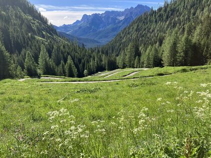
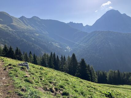
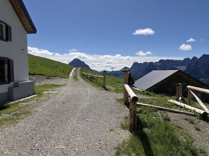
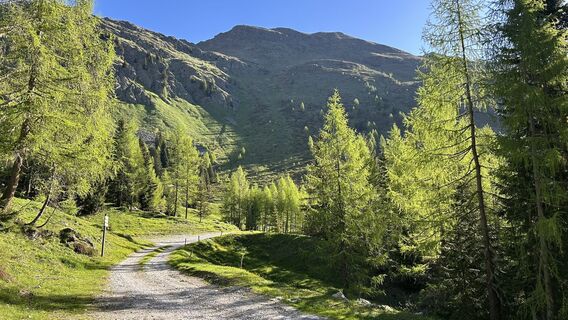
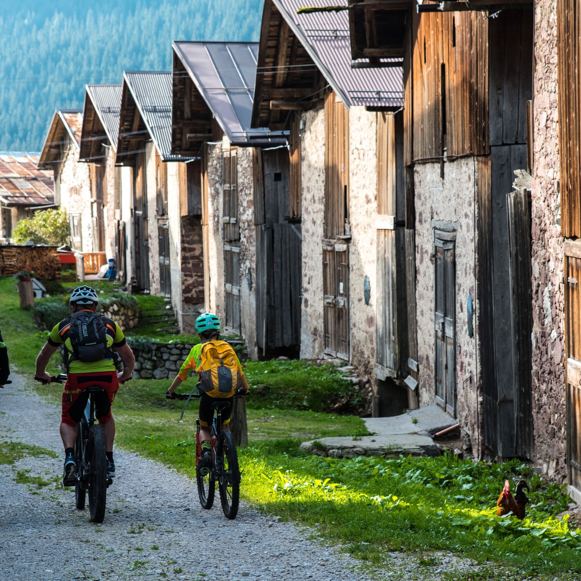
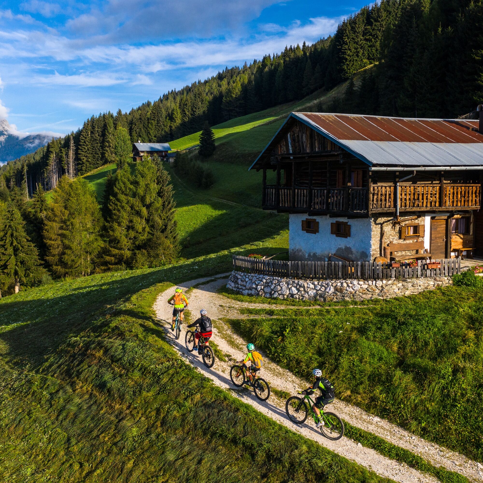
The Giro delle Malghe di Val Visdende is one of the most popular MTB routes in the Comelico region, a loop trail that traverses authentic alpine environments among forests, pastures and high-altitude mountain...
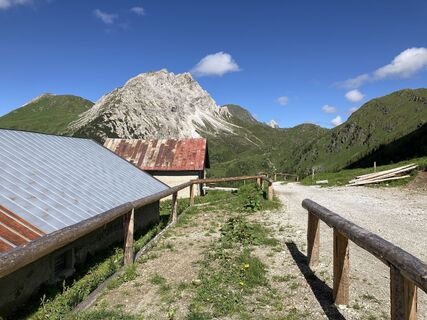
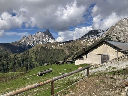
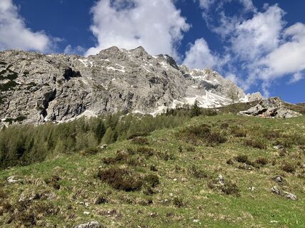
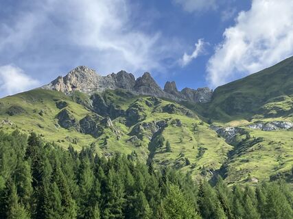
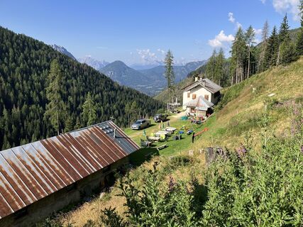
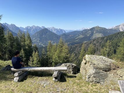
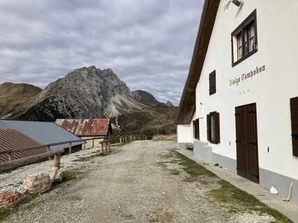
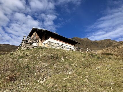
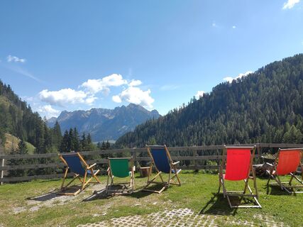
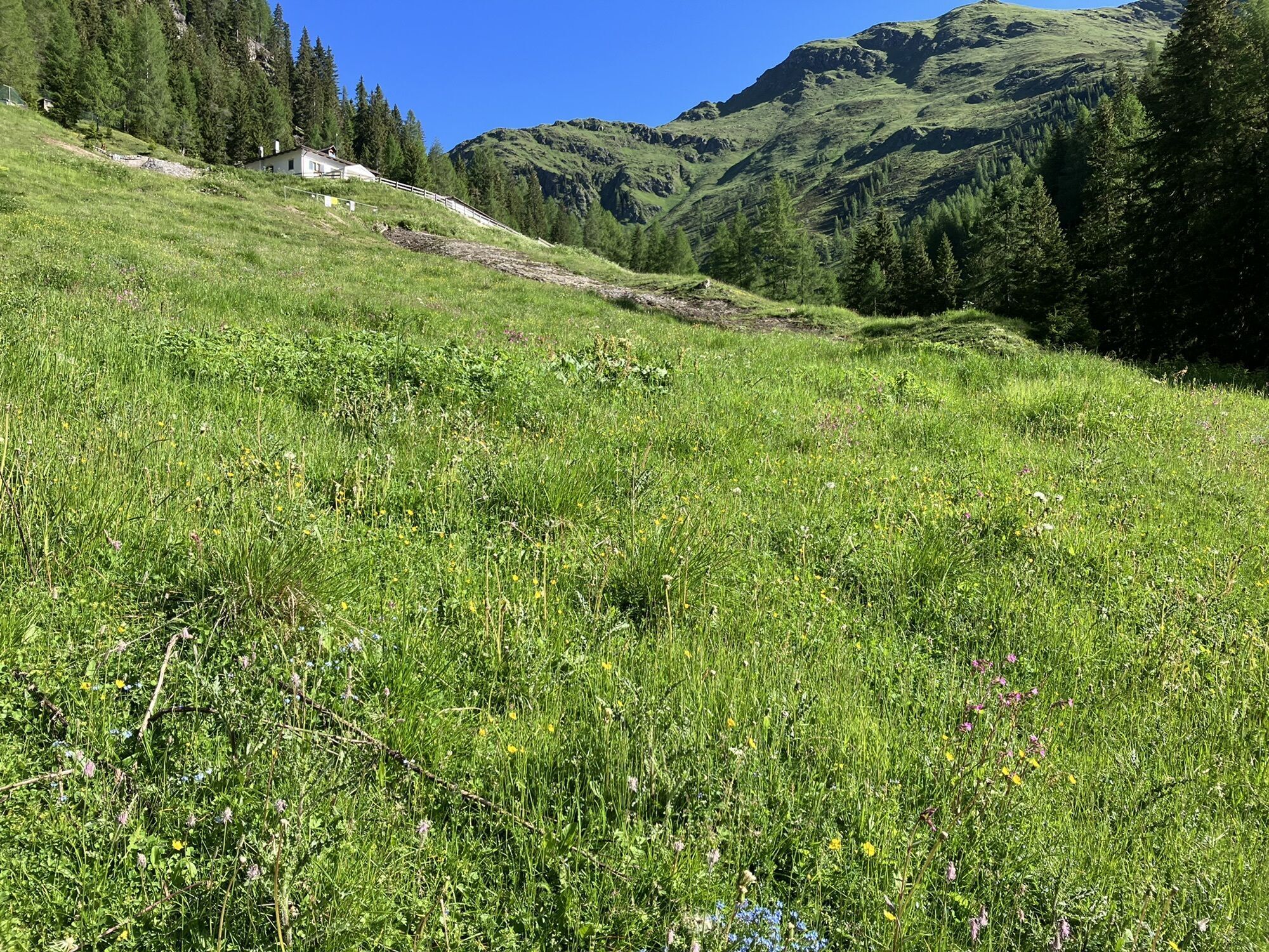
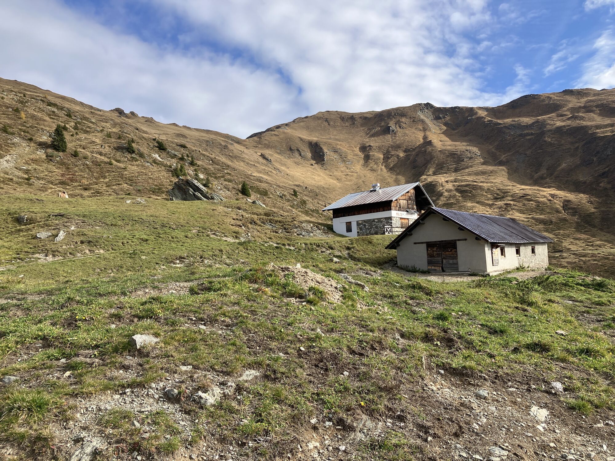
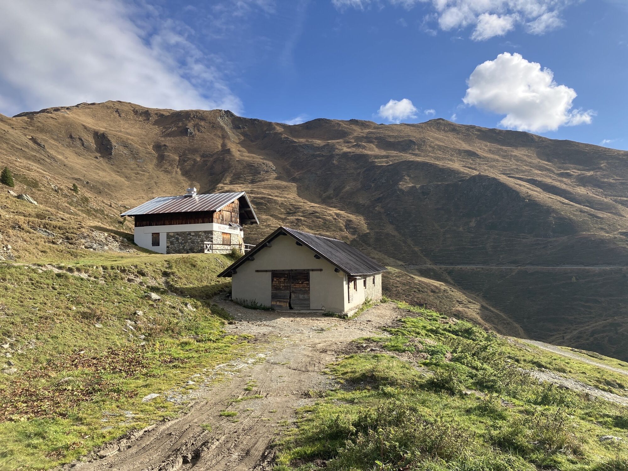
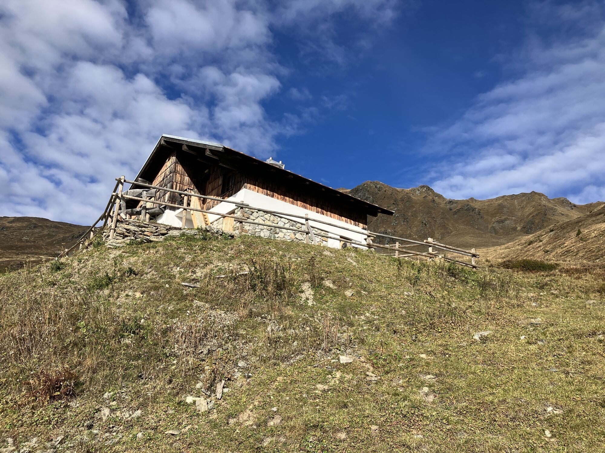
Starting from the locality of Cimacanale, the trail crosses the meadows of Pra Marino, where pastures and malghe tell of the valley's long agricultural tradition. The ascent gradually leads to the first malghe, including Malga Dignas, an ideal vantage point for a rest. Continuing, you leave the forest and reach the wide high-altitude spaces where you meet Malga Campobon and Malga Cecido, surrounded by the great Dolomite panoramas.
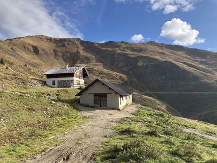
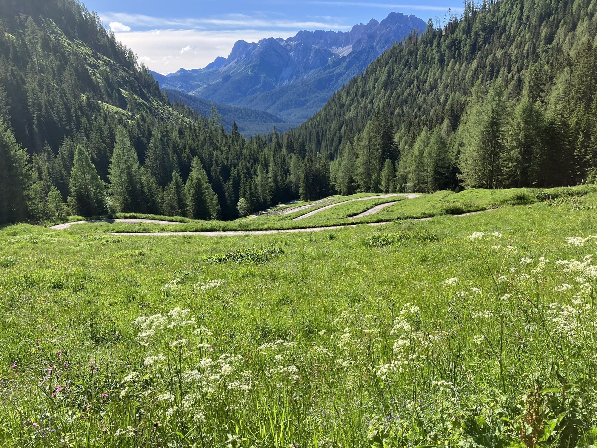
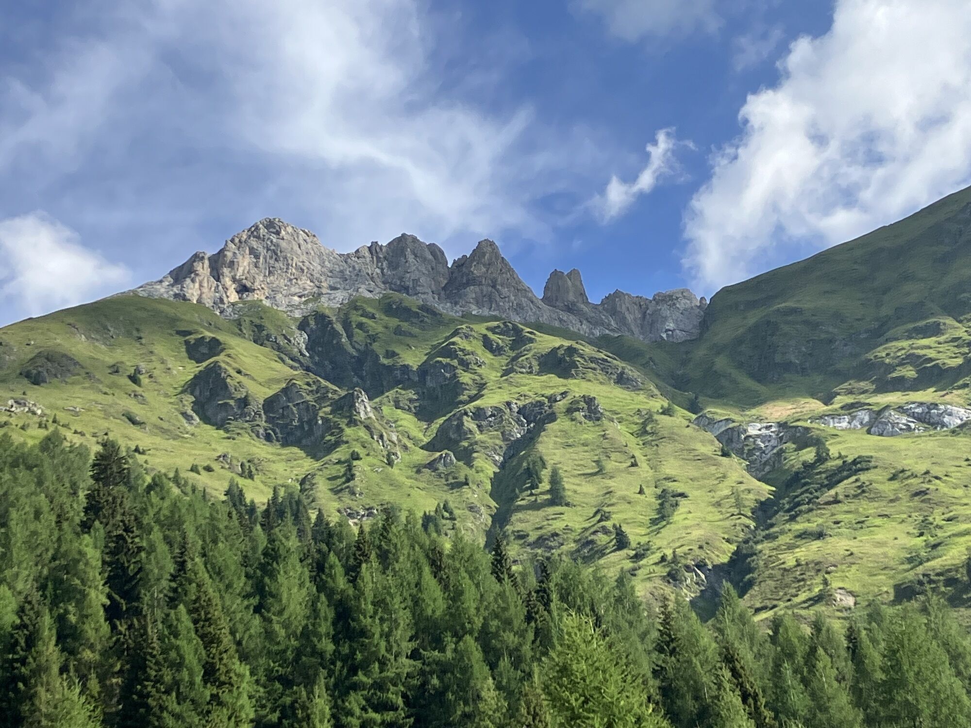
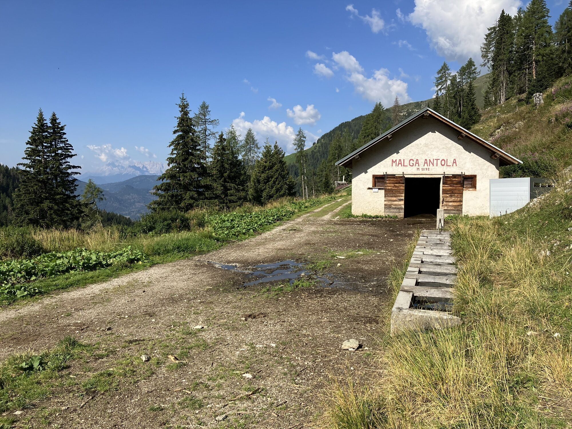
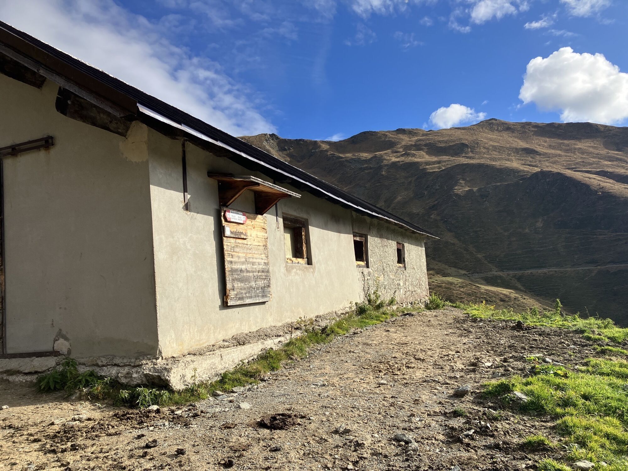
The route continues between ups and downs and panoramic stretches to Malga Manzon and Malga Chiastellin, where the road gives way to an evocative highland path accompanied by the imposing presence of Mount Peralba, one of the symbolic peaks of these mountains. Passing through Casera Antola and Malga Chivion, the return brings you slowly back to the valley floor among woods and clearings marked by the Vaia storm, now part of an ever-changing landscape.
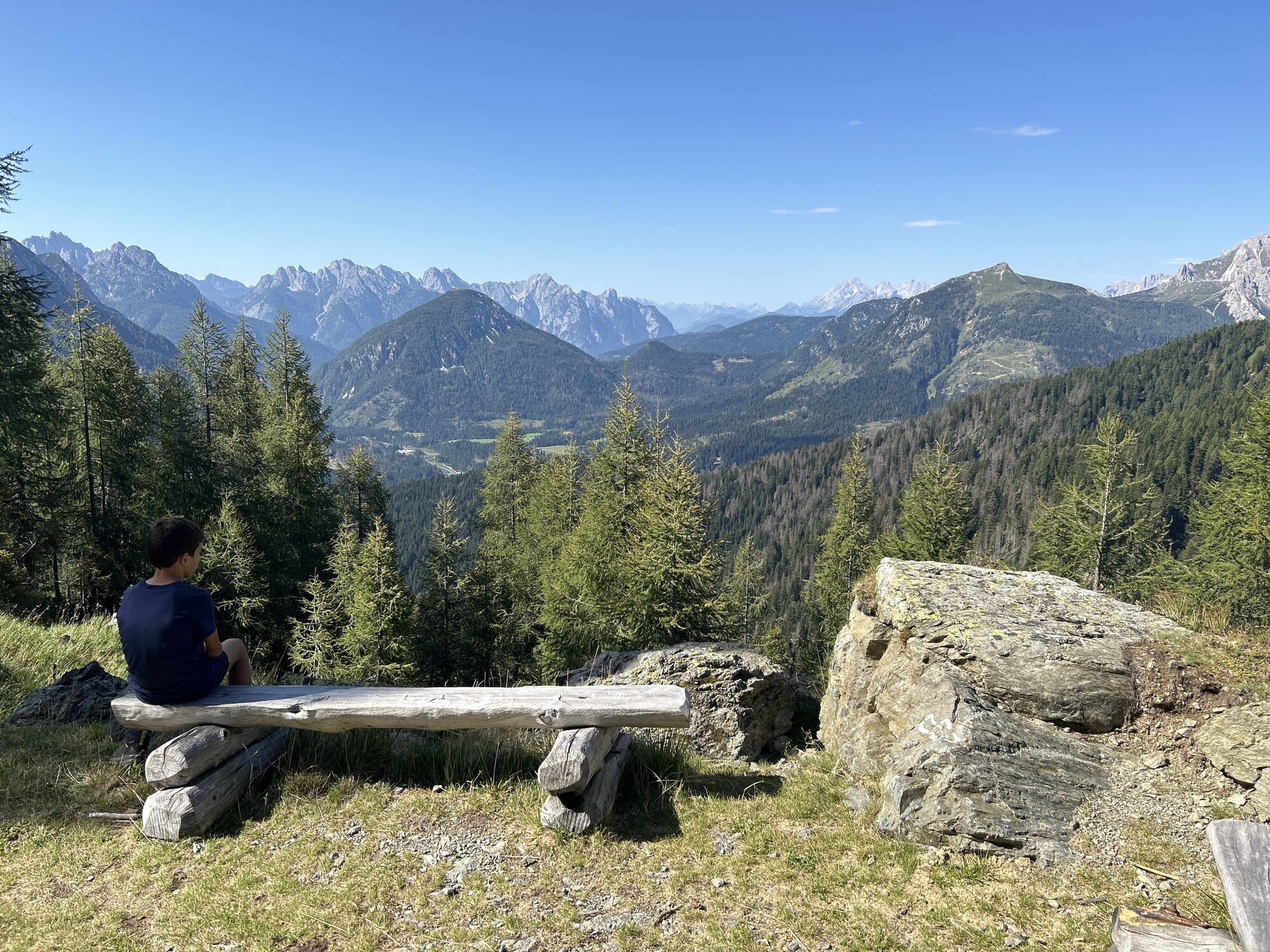
This itinerary represents a journey through nature, landscapes and alpine traditions, discovering a valley that still retains the most authentic character of the Belluno Dolomites.

Mountain bike in good condition, helmet required and repair kit (inner tube, pump or CO₂, multitool). Bike gloves, water, light protection and mountain-appropriate clothing recommended. Bring GPS track or map of the route.
Always check the weather conditions before departure: rain or thunderstorms can make the dirt surface and fords more challenging.
Use caution on downhill sections and trail crossings. At altitude, conditions can change quickly: always bring appropriate clothing and water supplies.
From Regional Road 355, just outside Presenaio in the direction of Sappada, take the bridge on the left just before the tunnel.
S2
The best time to walk the route is from late spring to autumn, when the forest roads and trails of Val Visdende are fully passable.
Leaving in the morning allows you to tackle the long initial climb more calmly and enjoy the views of Mount Peralba and the wide pastures of the valley.
Priljubljeni izleti v okolici
-
4.5
Karnischer Höhenweg – Etappe 4: Hochweißsteinhaus – Wolayersee Hütte
težkoPohodništvo v daljavo 15.9 km -
4.5
Kartitsch-Obstansersee Hütte
srednjaPohodništvo 13.1 km -
4.7
Obergail - Obergailer Alm - Obergailer Lake - Enderberg hut - Source for Health & Peace - Madonna circular hiking route - Obergail
srednjaPohodništvo 11.4 km -
5.0
Porzehütte (1.942 m)
svetlobaPohodništvo 9.01 km -
4.2
Connyalm (2.070 m)
Pohodništvo 6.36 km -
5.0
Carnic altitude trail. Stage 4: Porzehütte – Hochweißsteinhaus
težkoPohodništvo 17.5 km -
5.0
Tuffbad - Guggenberger Sattel - Samalm - Tuffbad
srednjaPohodništvo 12.2 km -
3.8
Karnischer Höhenweg KHW 403 - "Weg des Friedens"
srednjaPohodništvo 46.7 km -
3.8
Circular hike Obergail - Gamskofel - Obergail Alm - Obergail
srednjaPohodništvo 13 km -
2.0
Porzehütte/Tilliacher Joch am Karnischen Kamm
srednjaMountainbike 8.99 km

Pohodništvo in sledenje


Ne zamudite ponudb in navdiha za naslednje počitnice
Vaš e-poštni naslov je bil dodan na poštni seznam.