






Pralongià

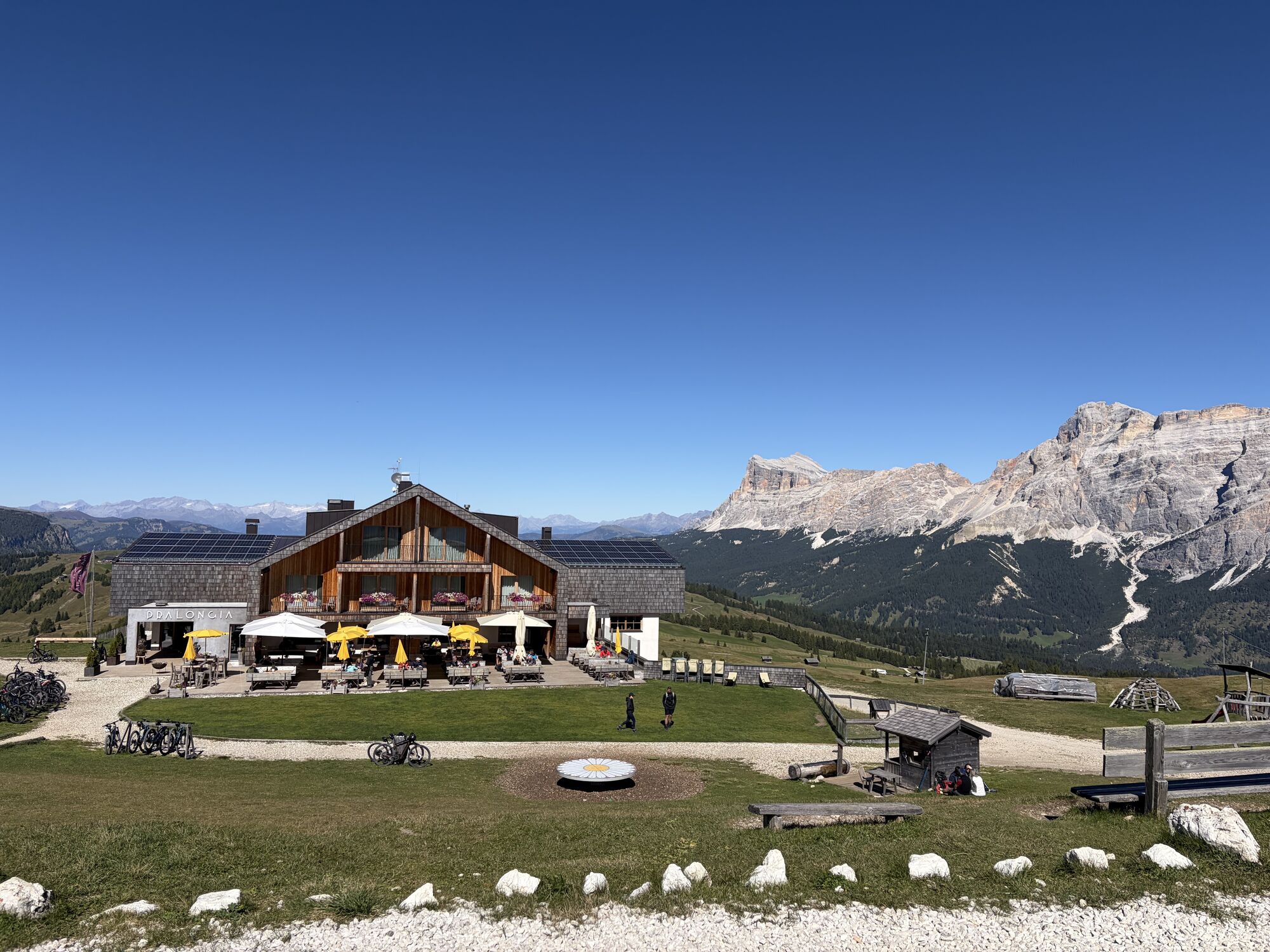
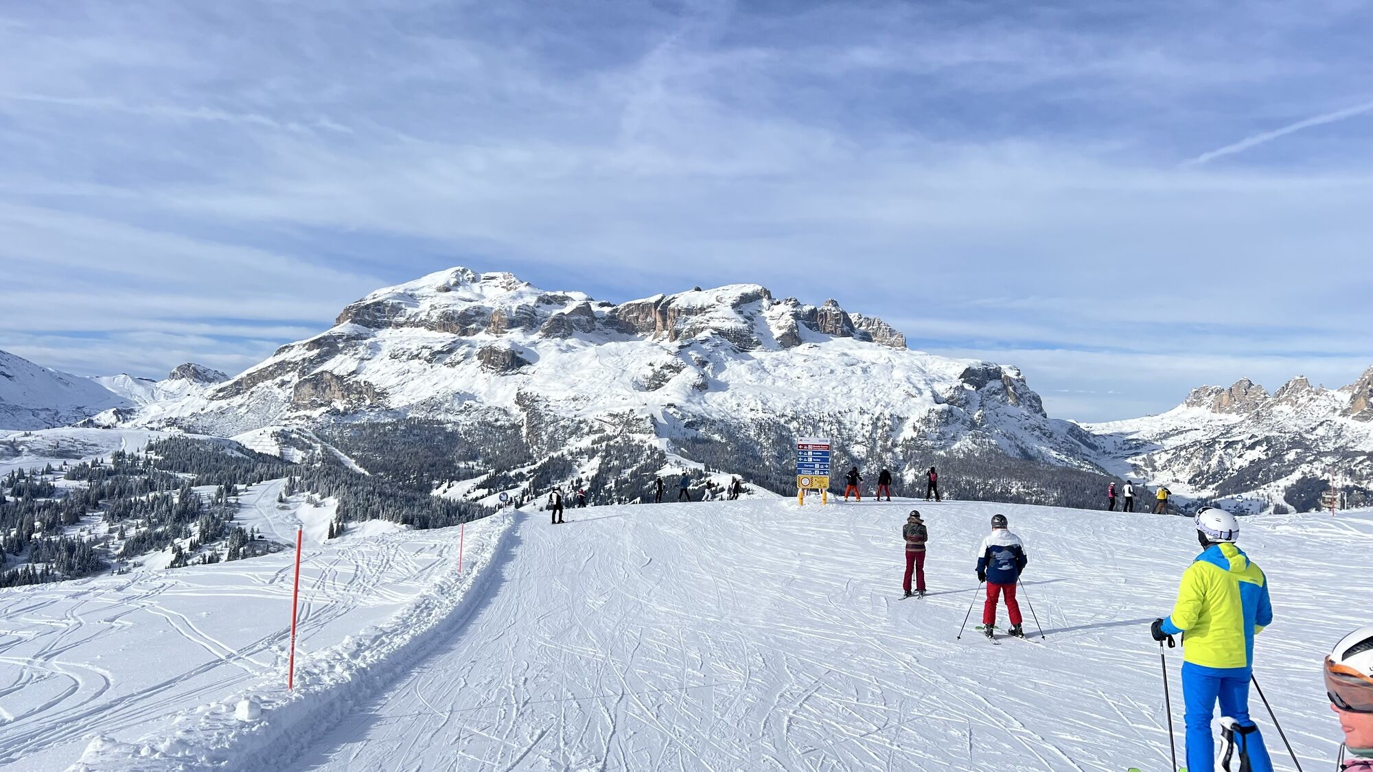
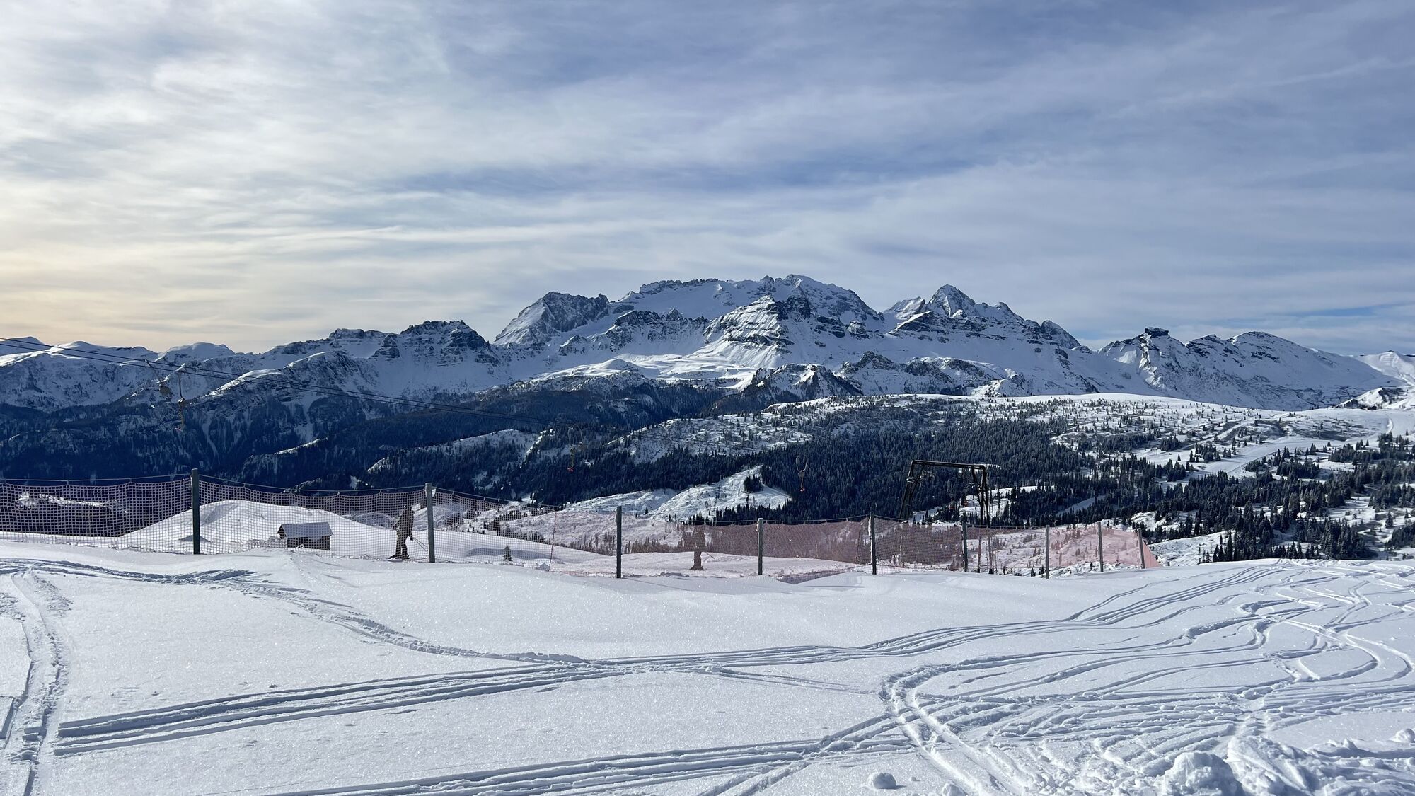
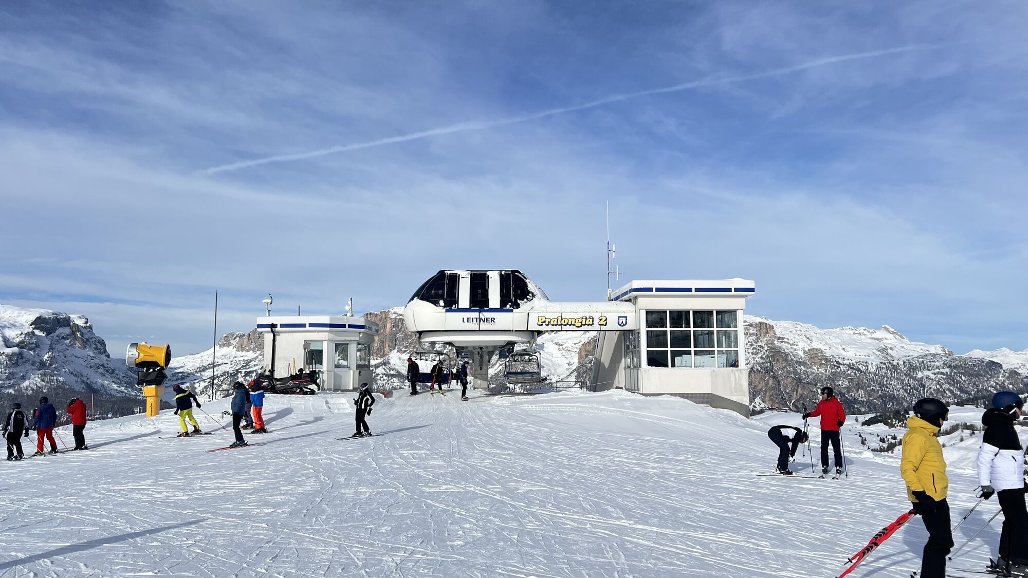
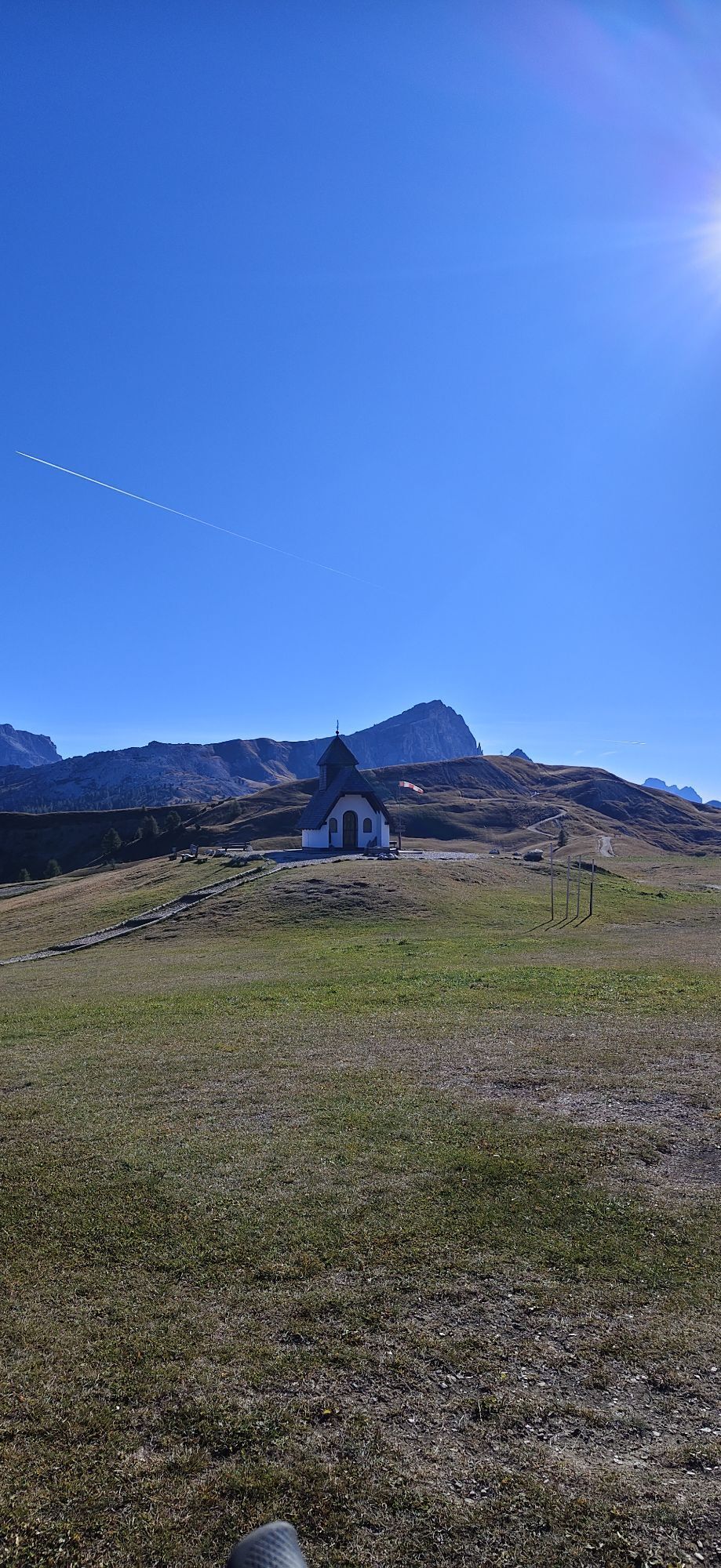
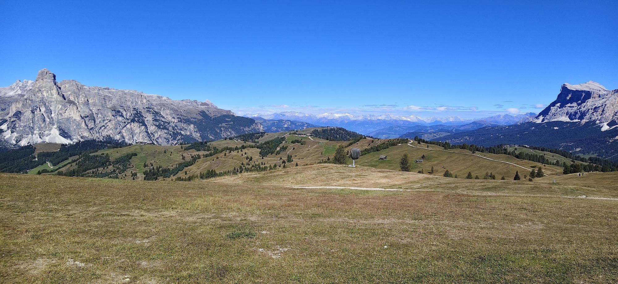
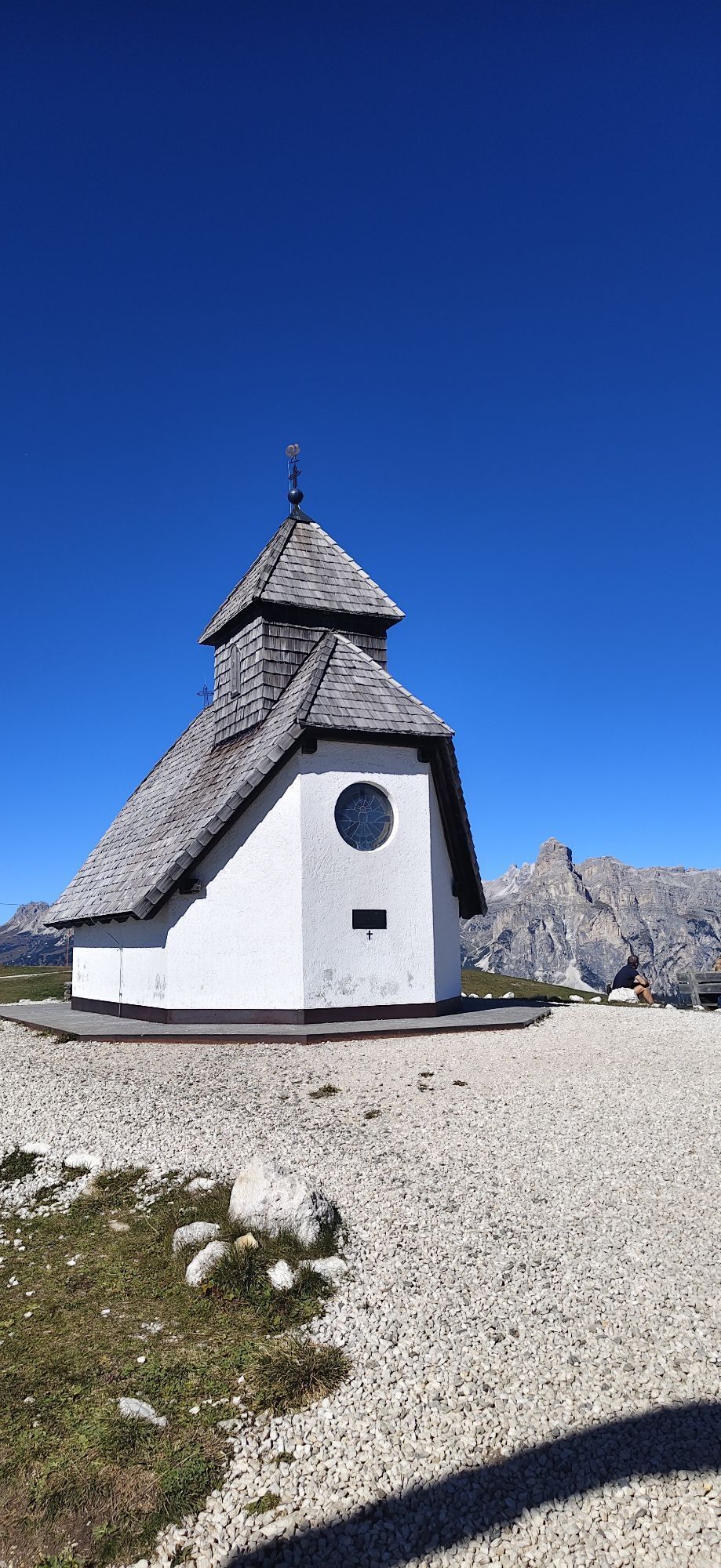
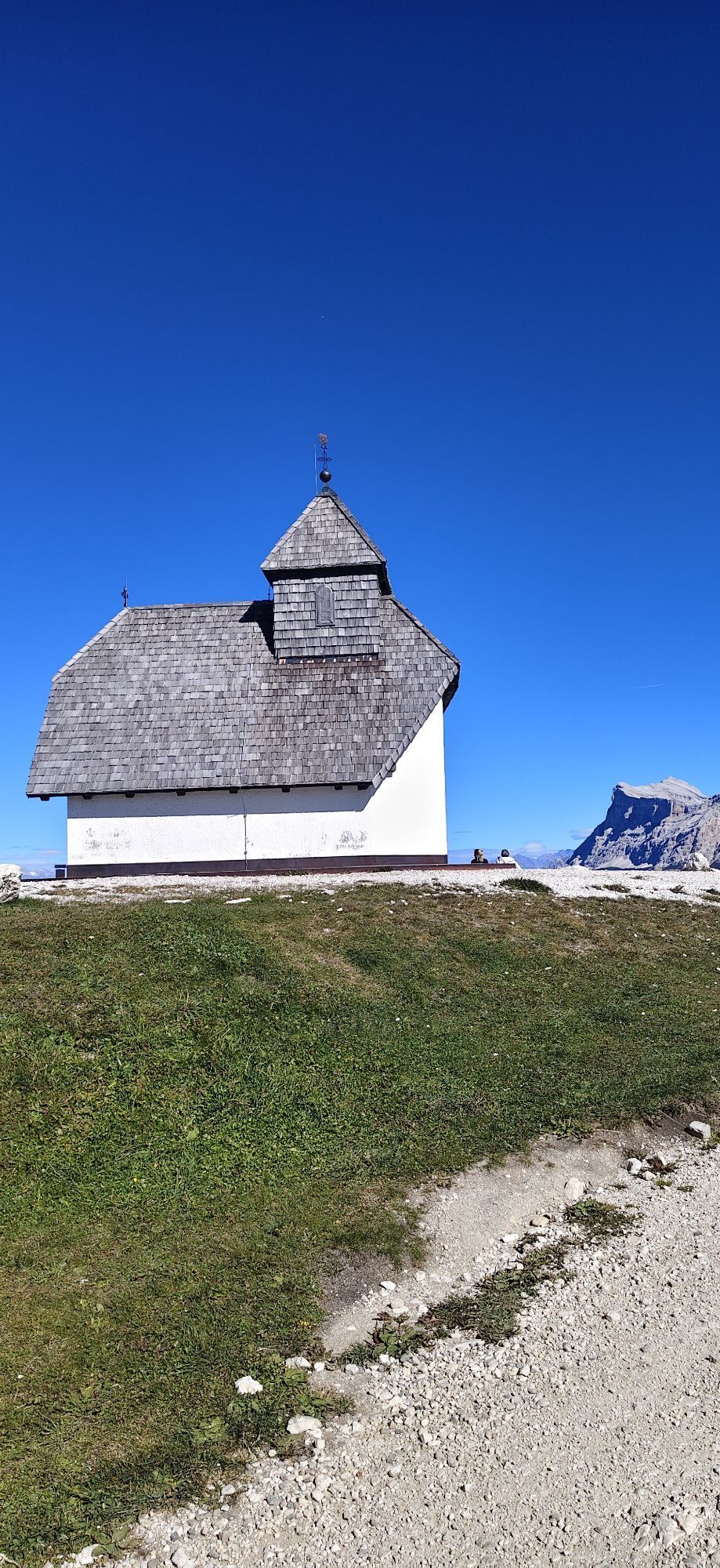
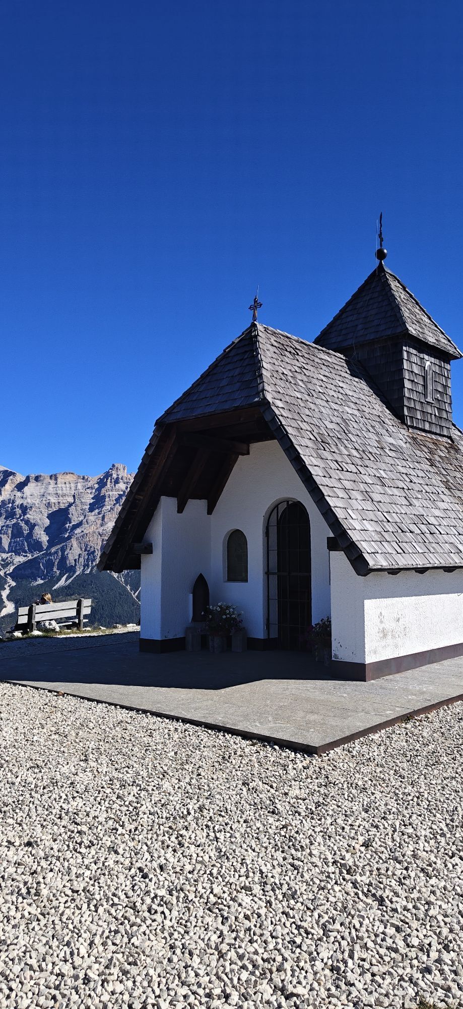
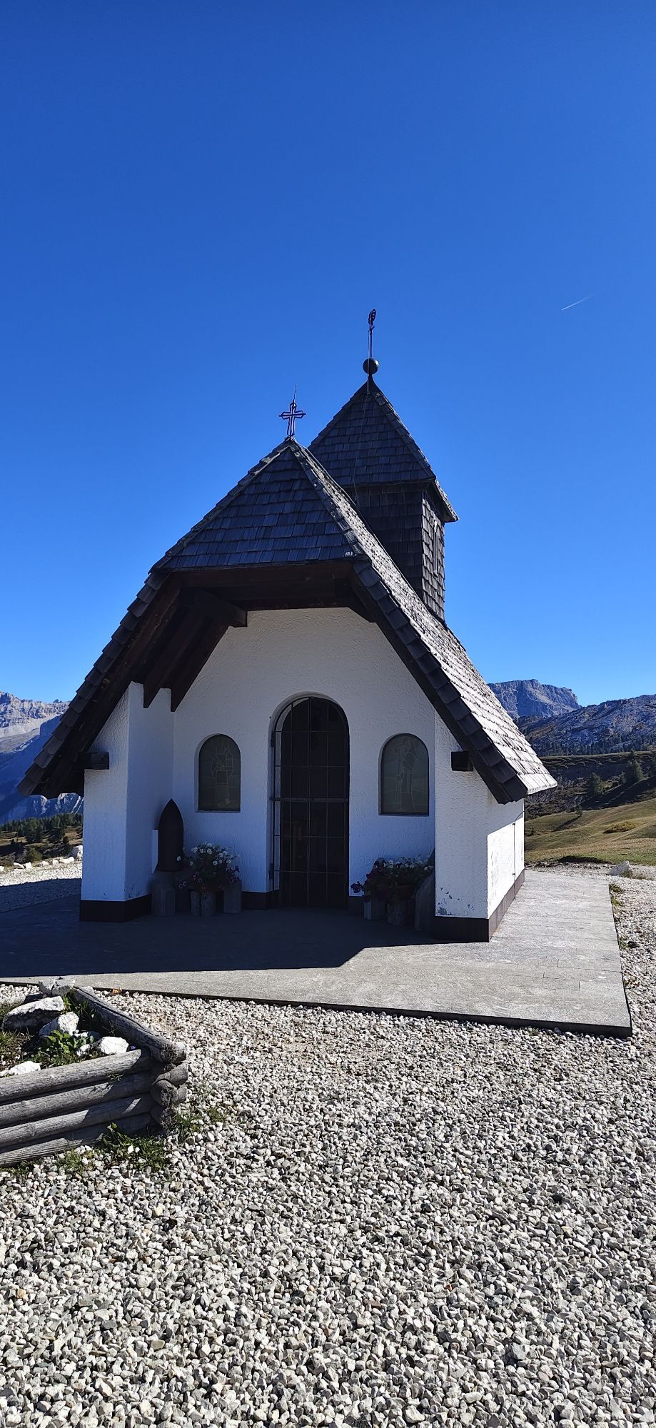
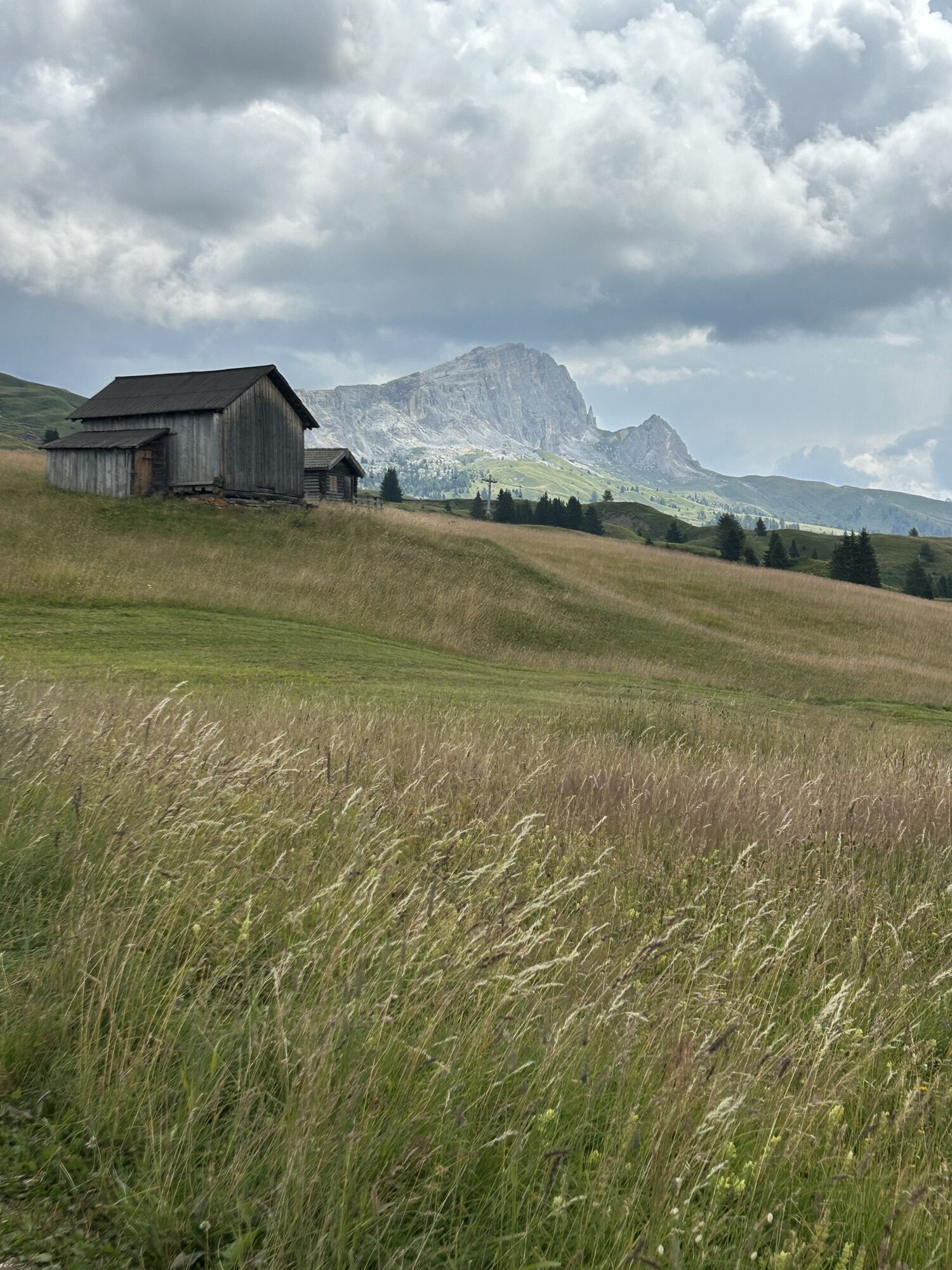
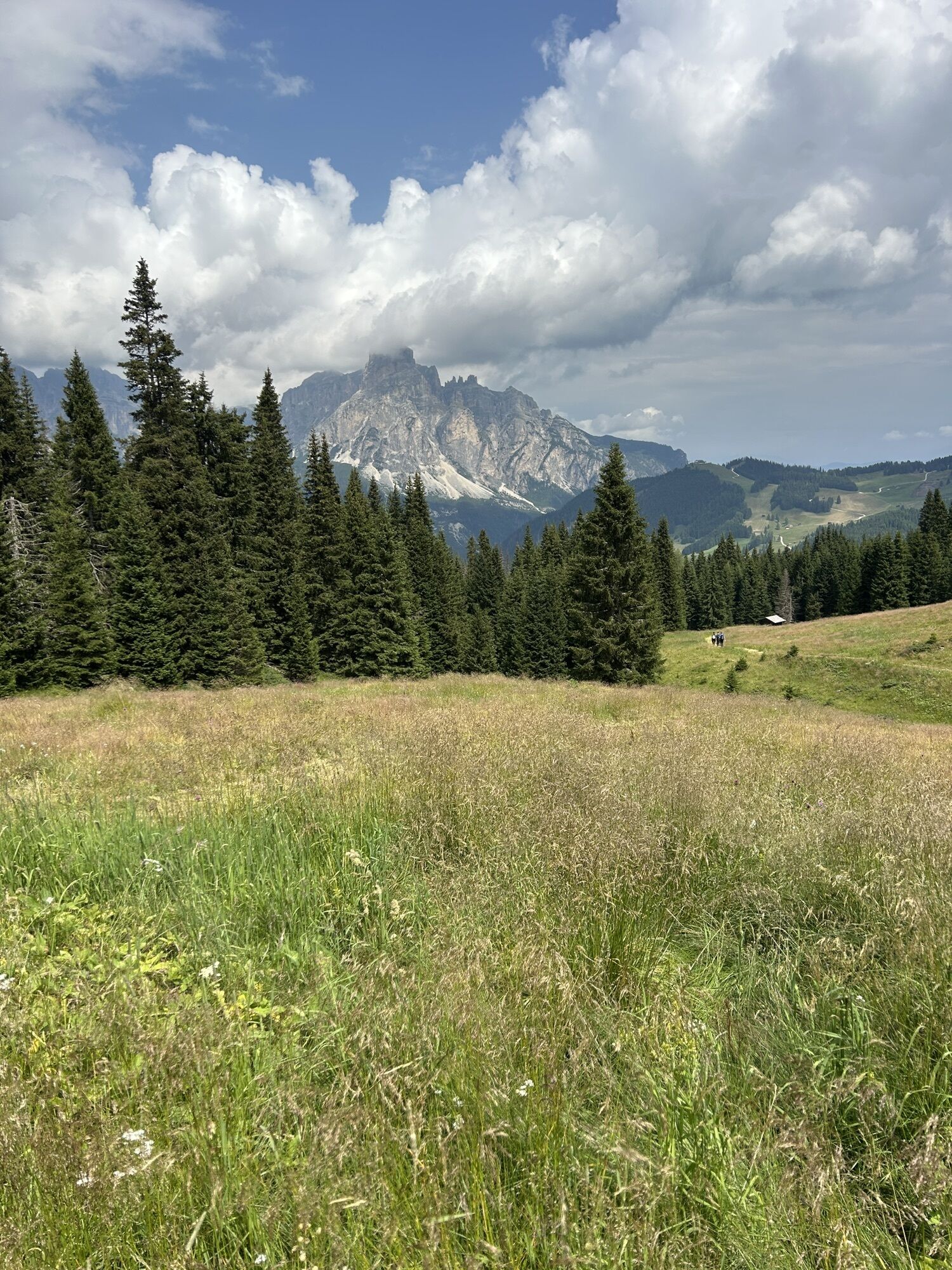
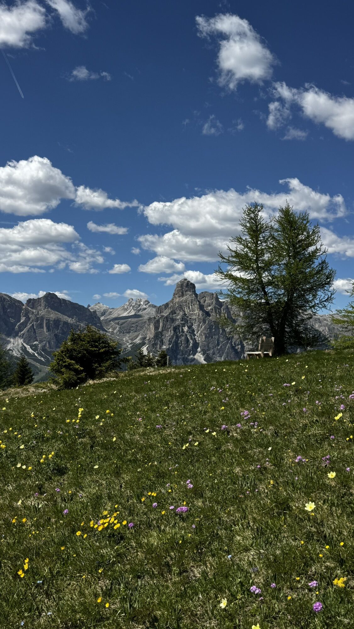
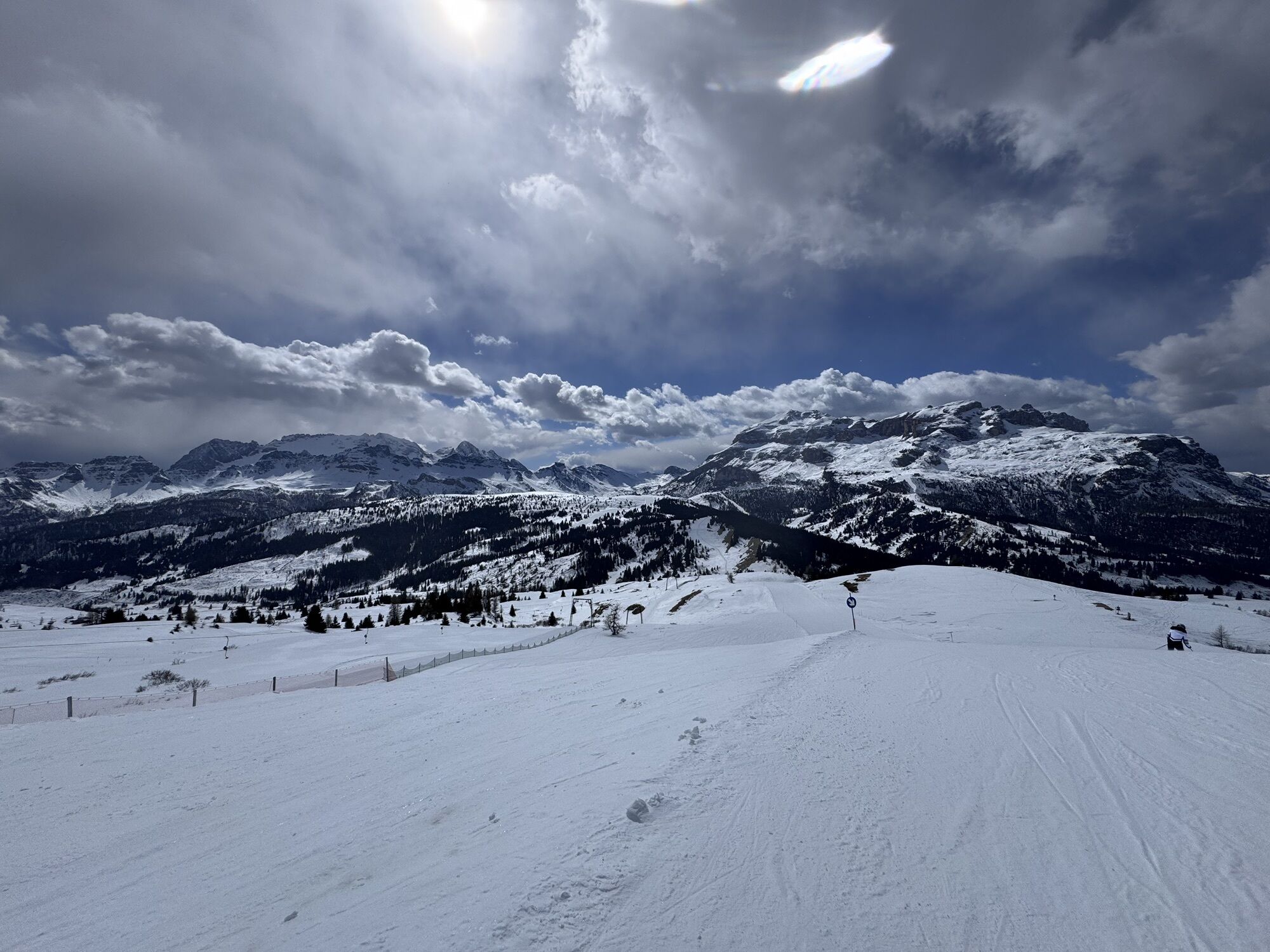
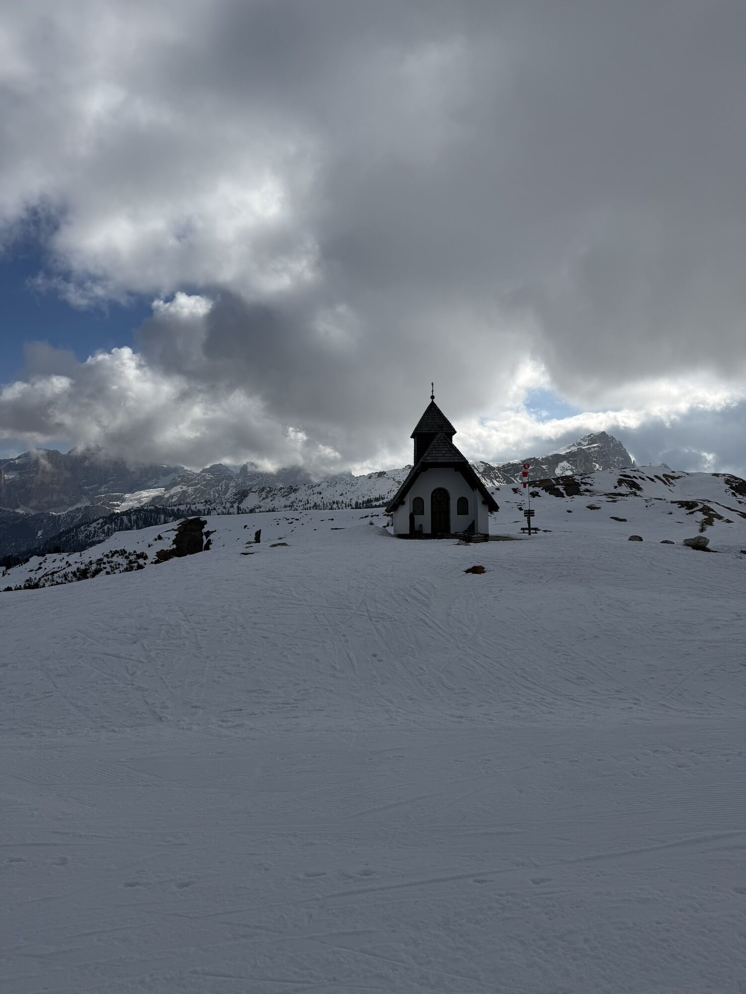
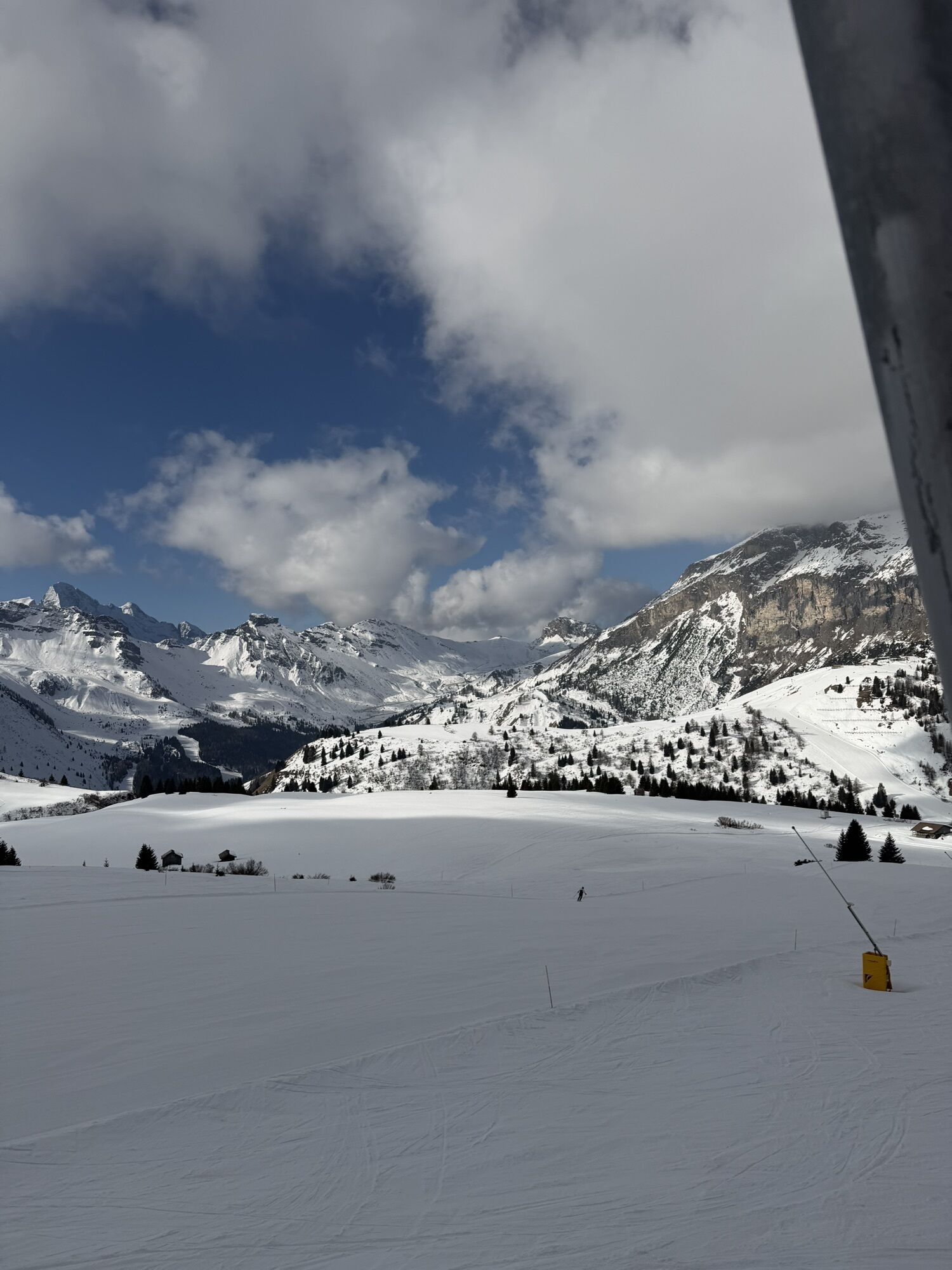
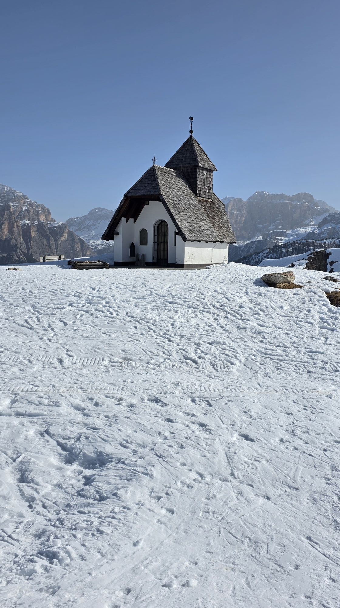
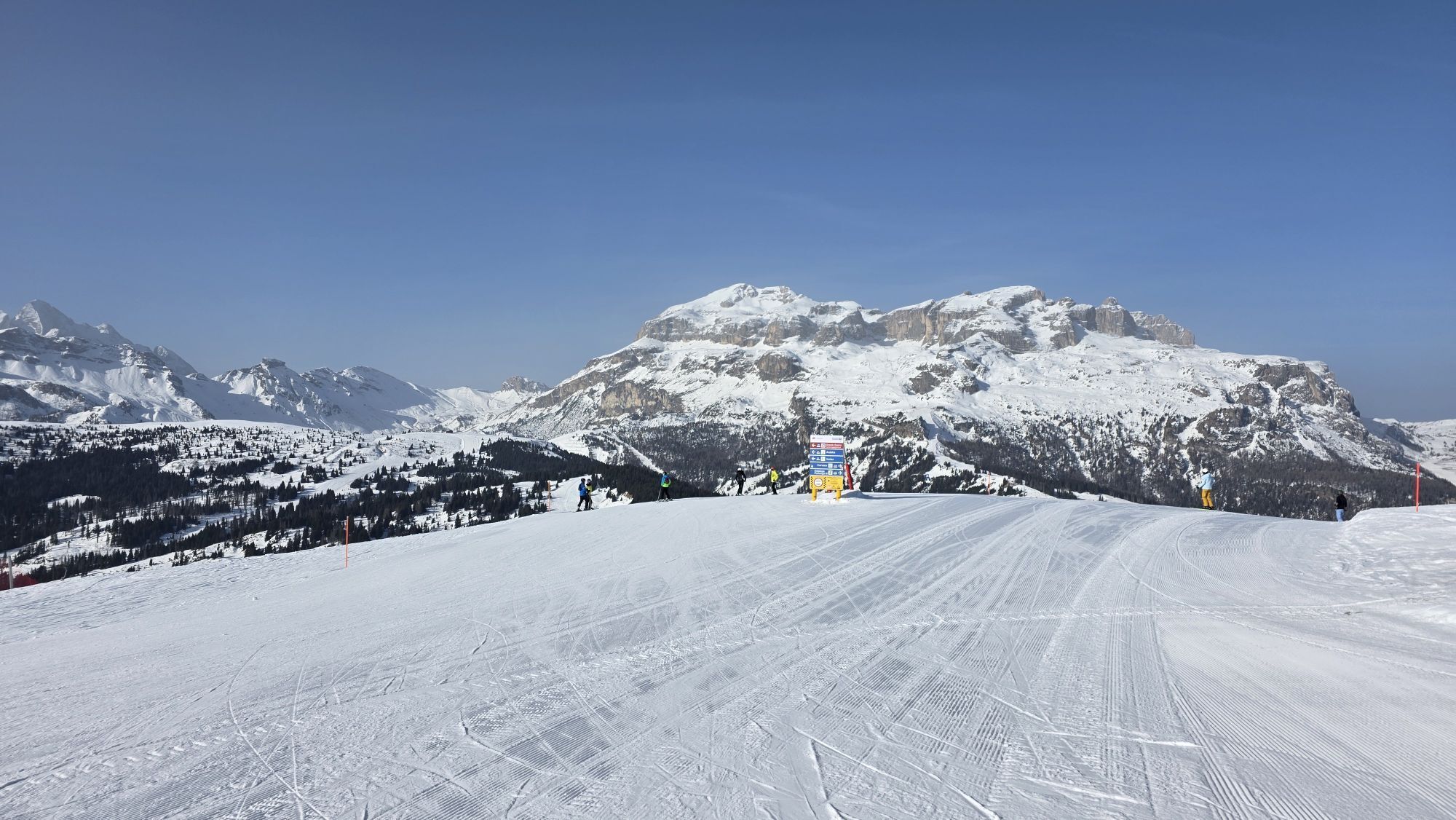
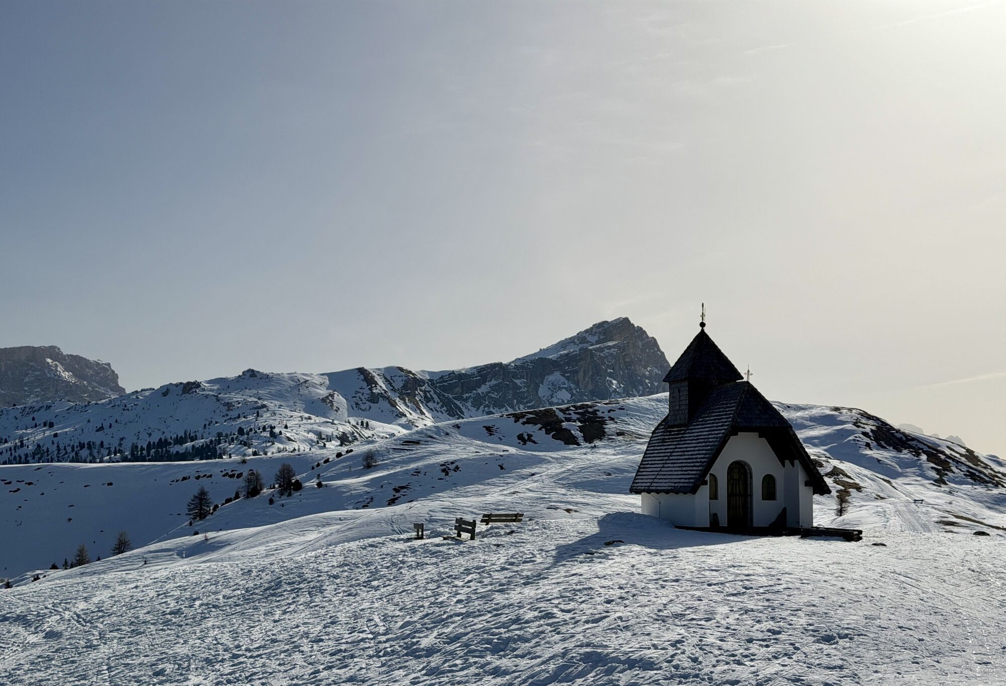
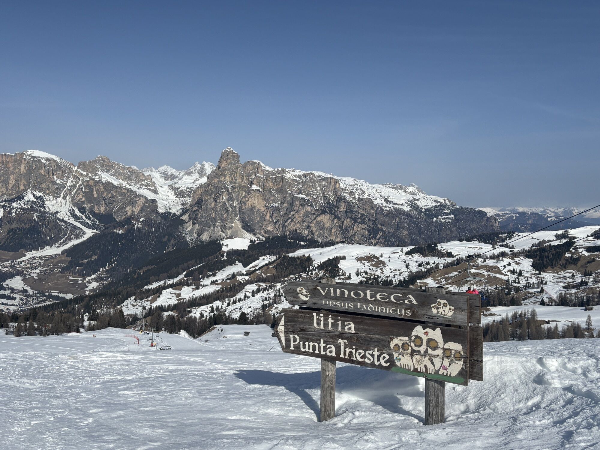
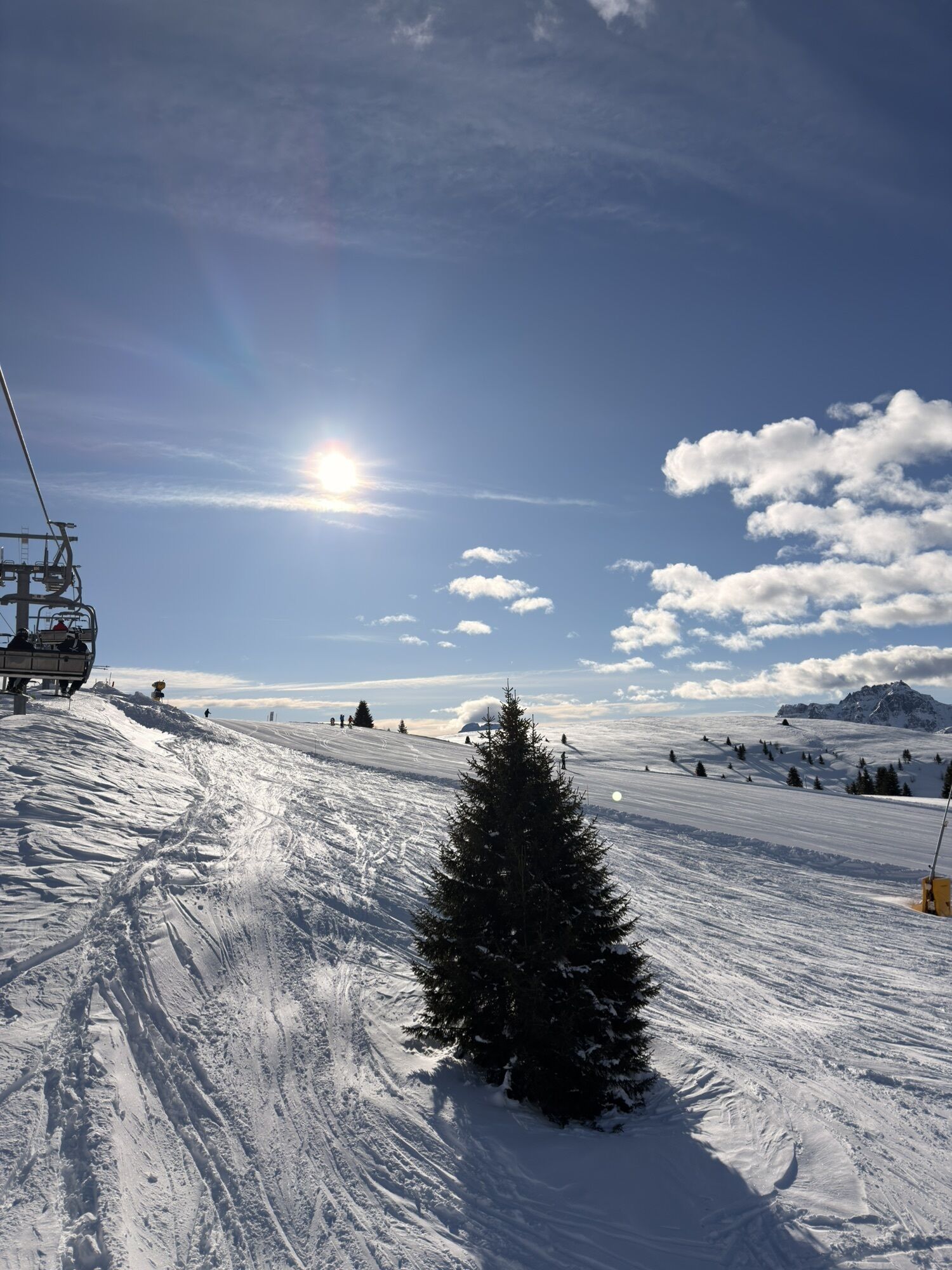
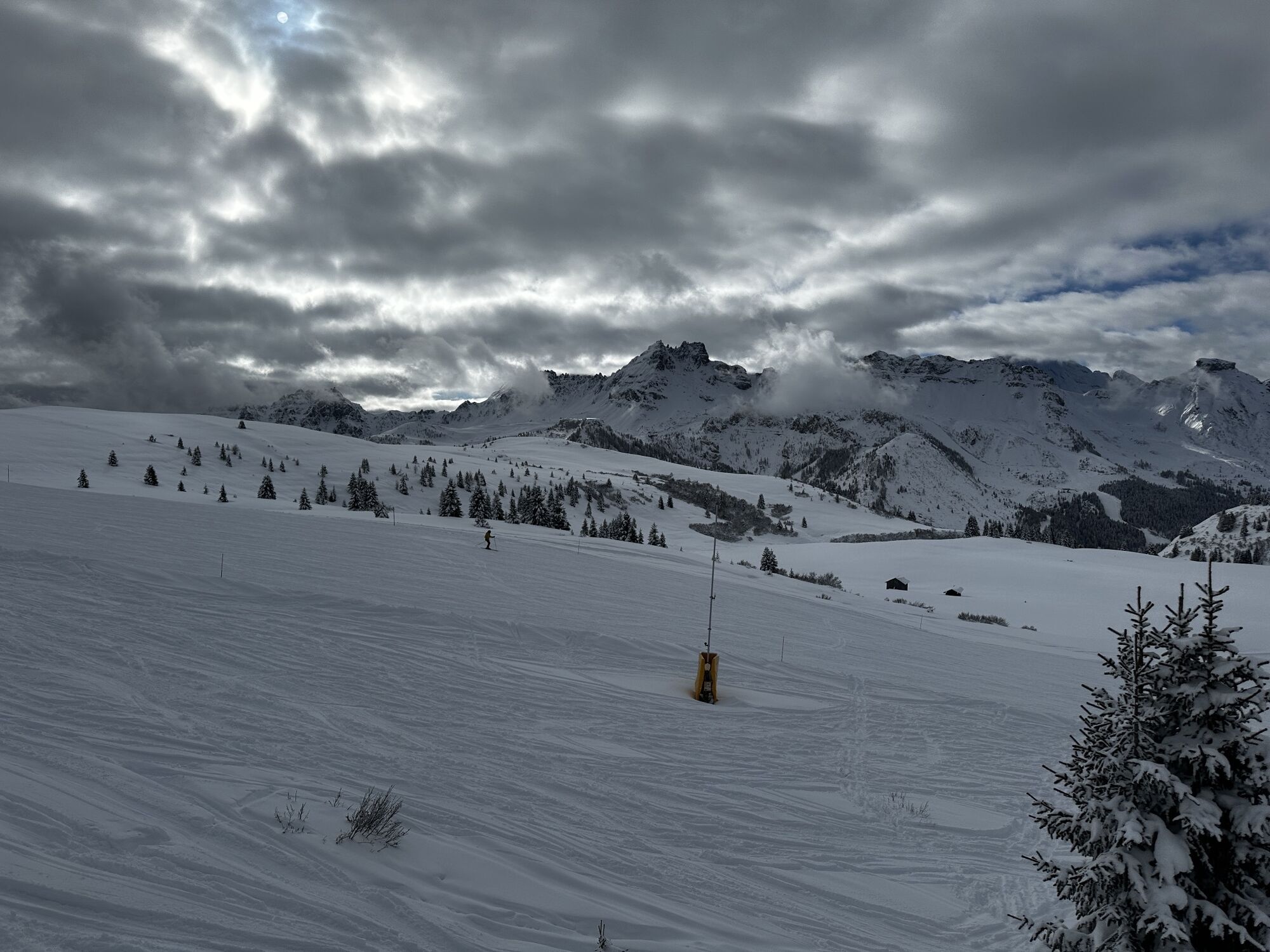
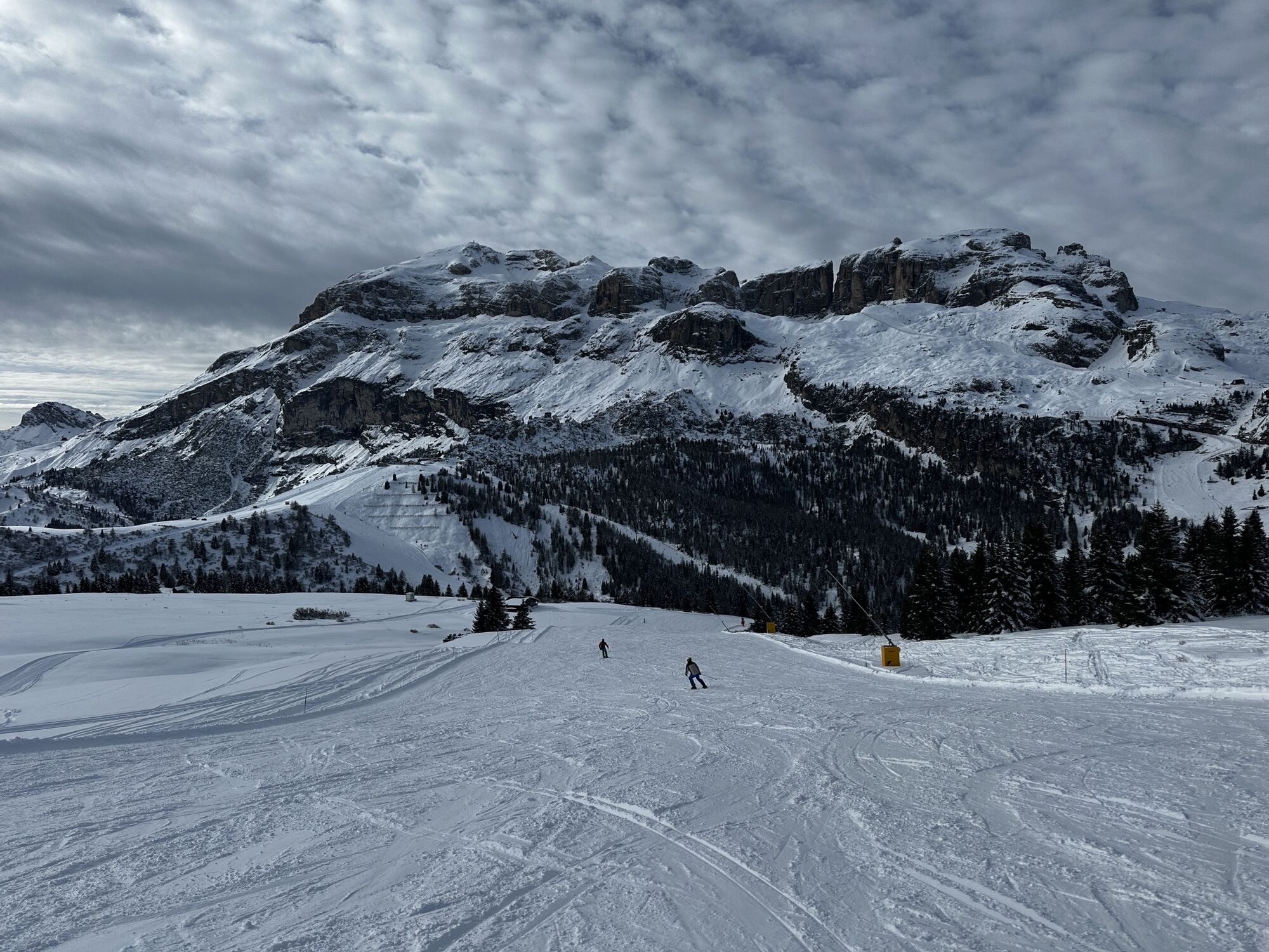
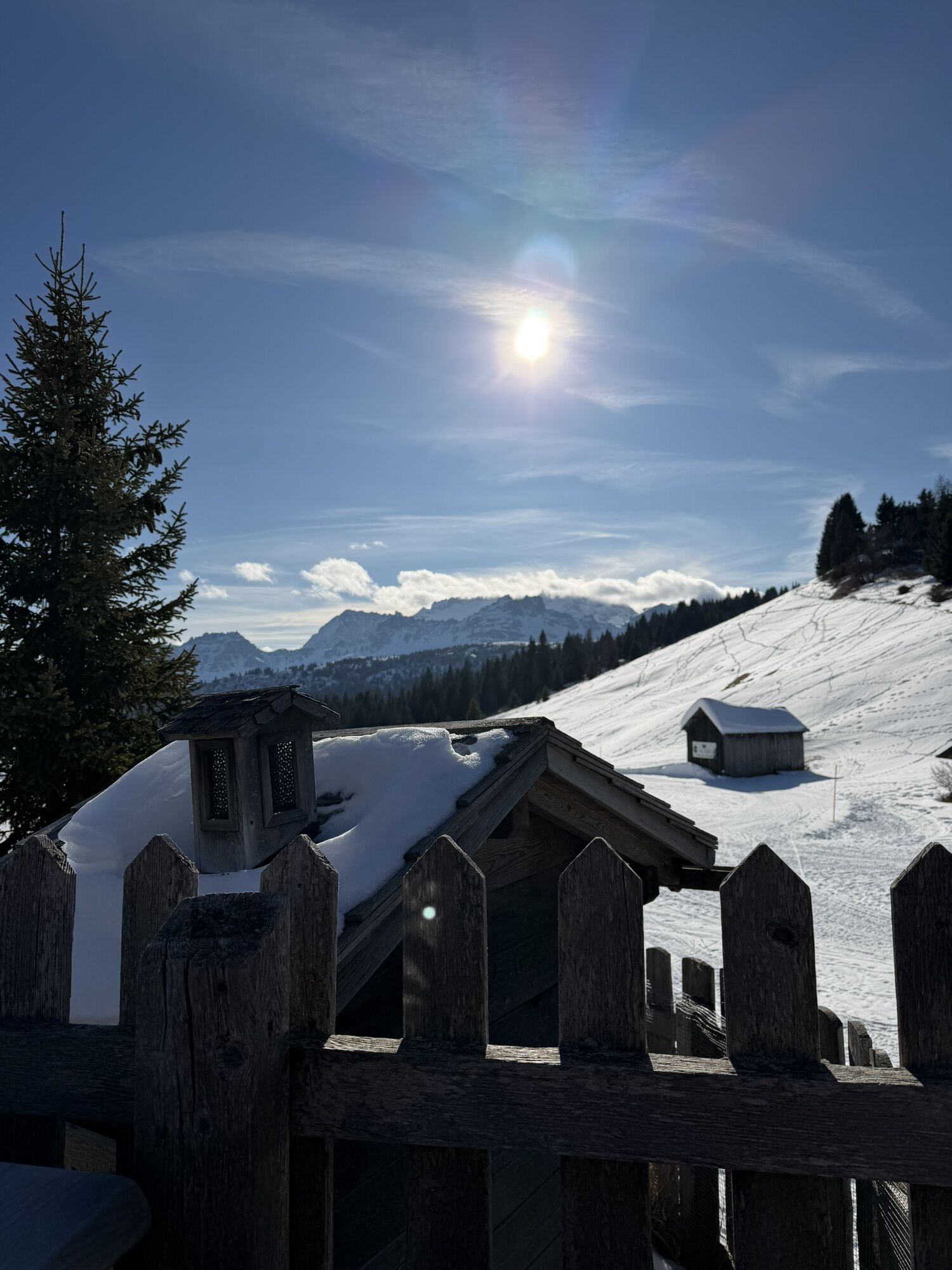
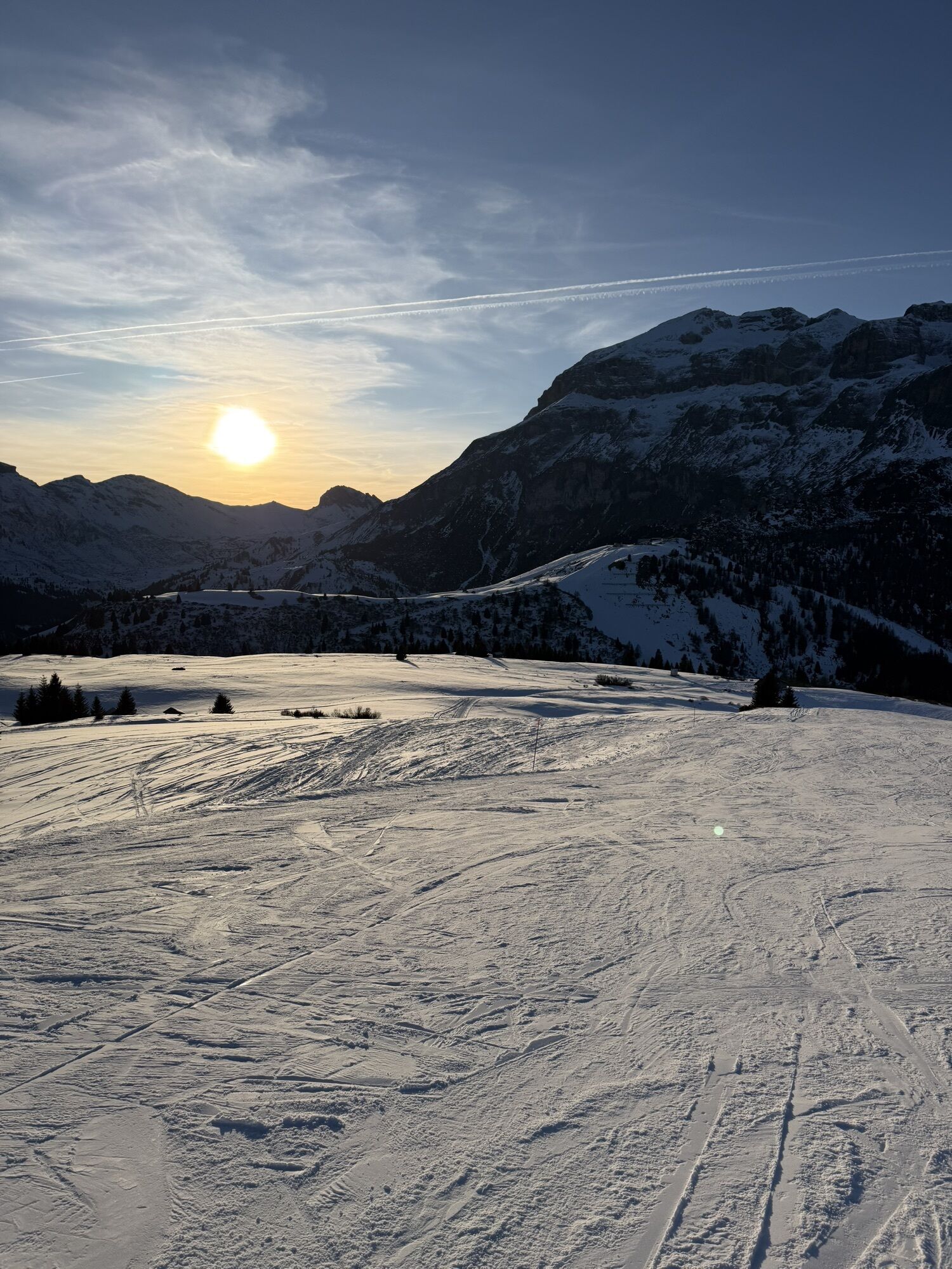
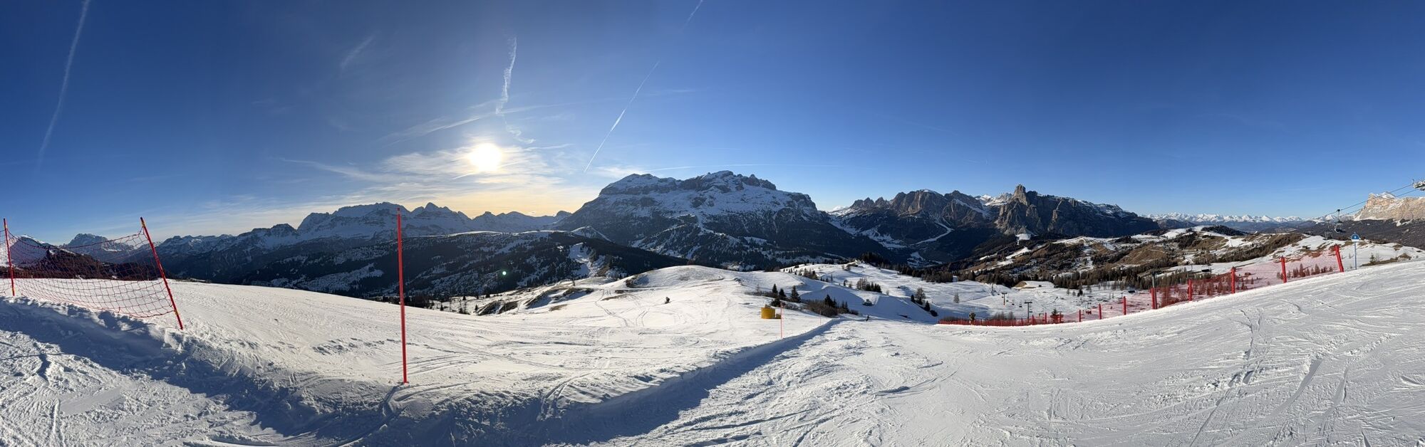
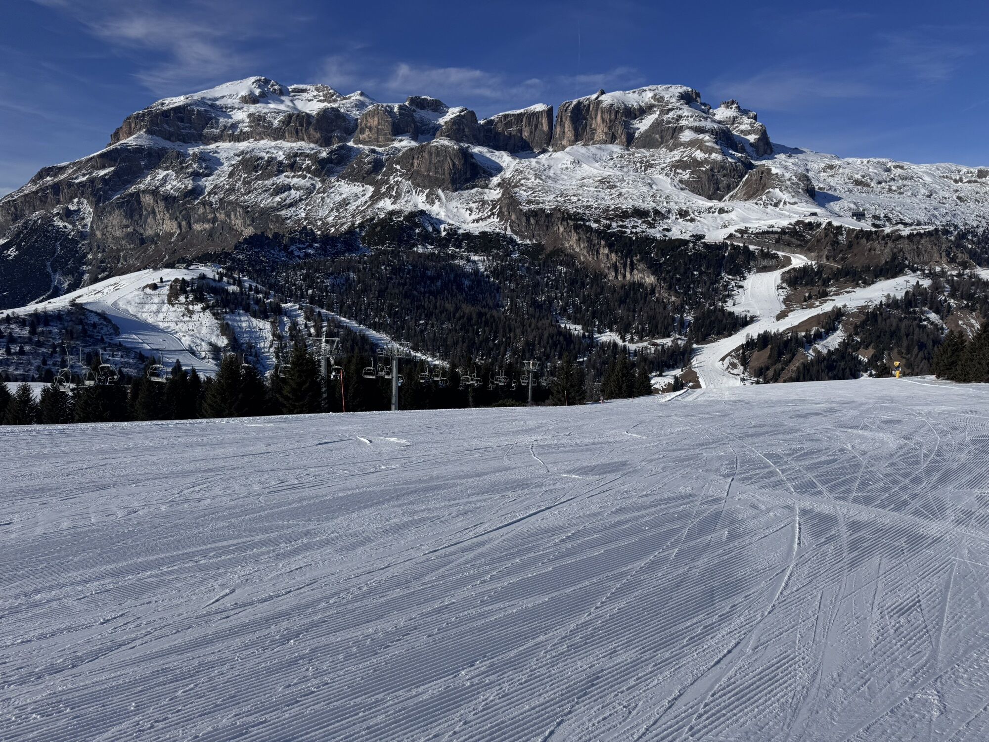
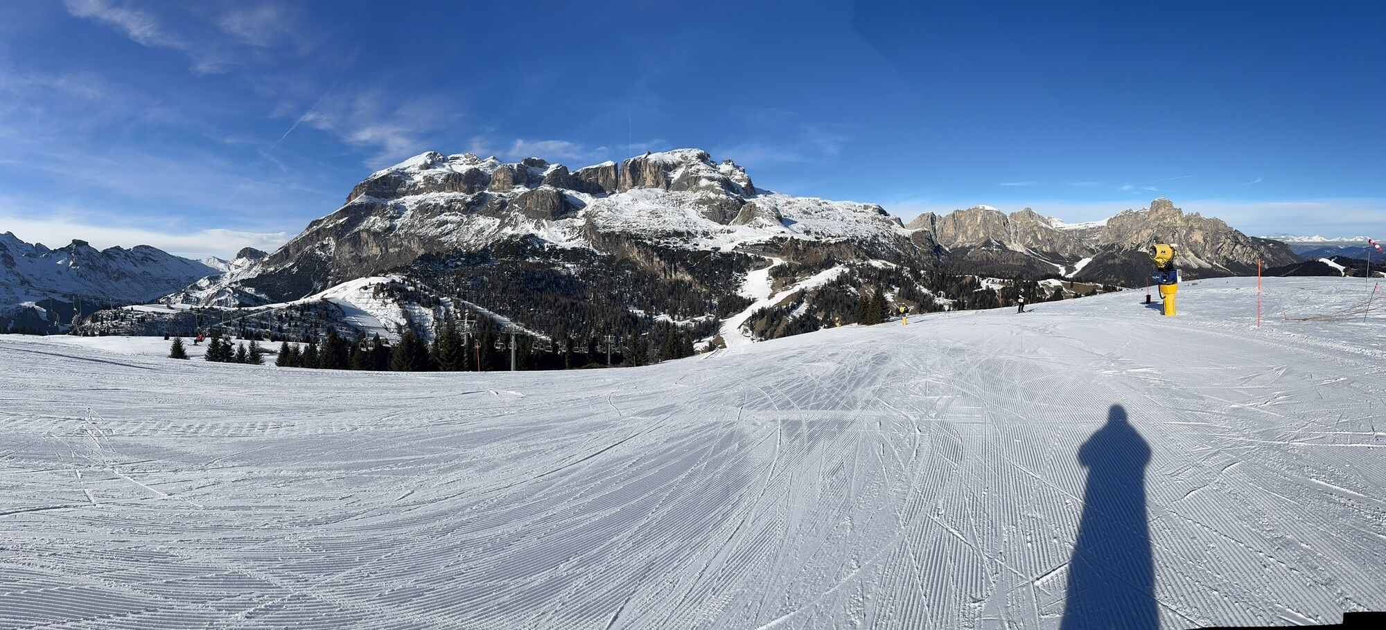
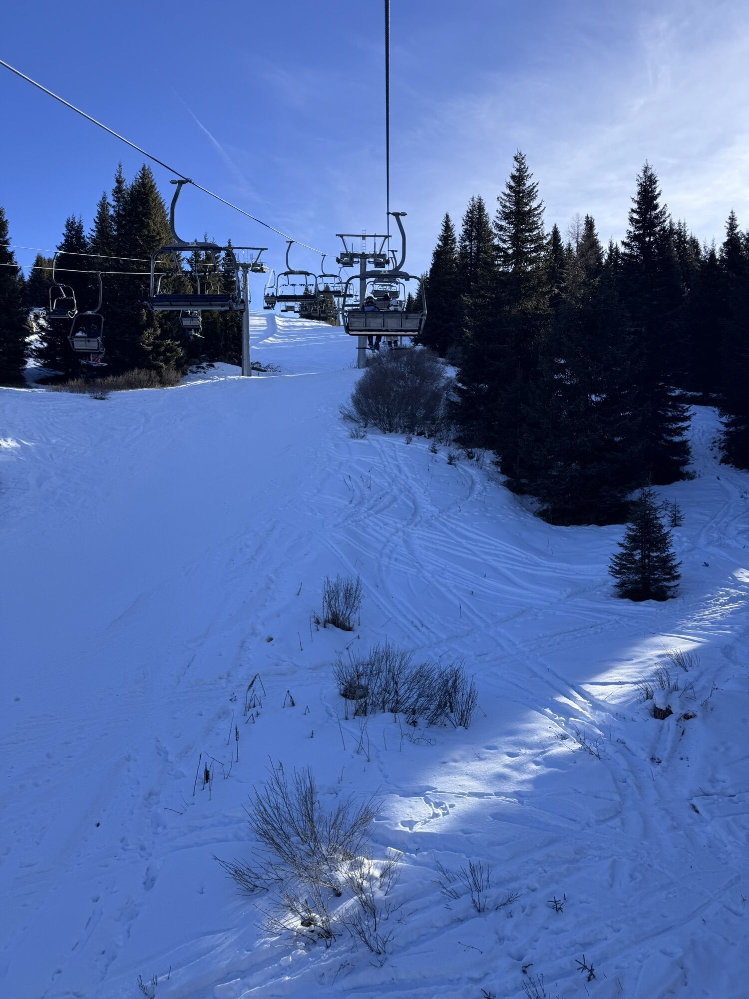
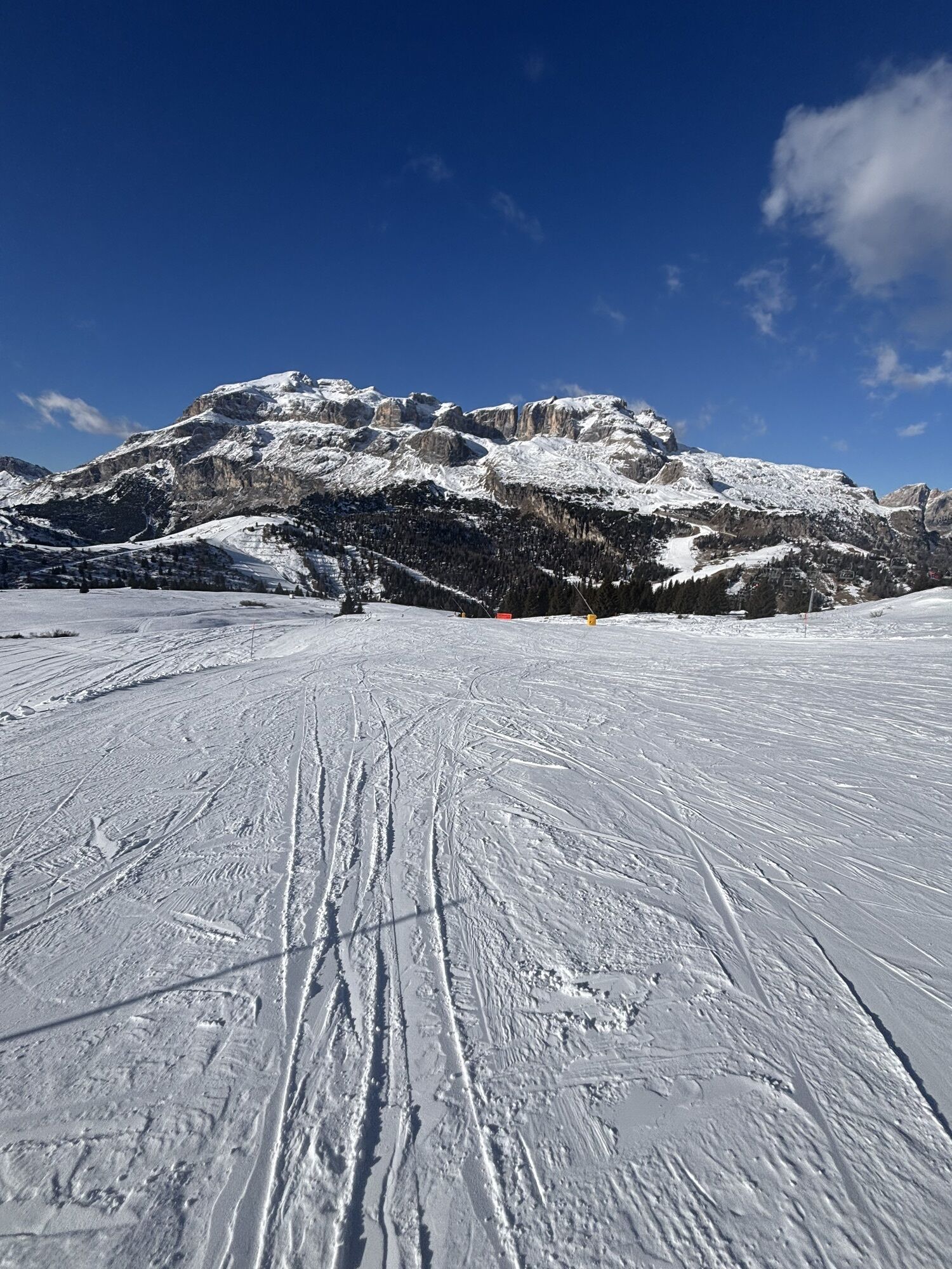
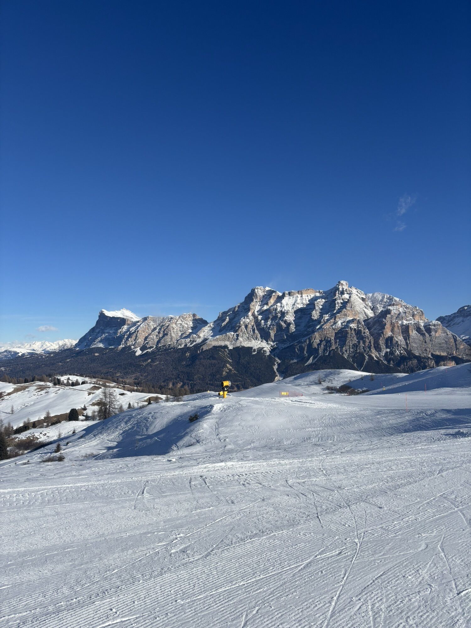
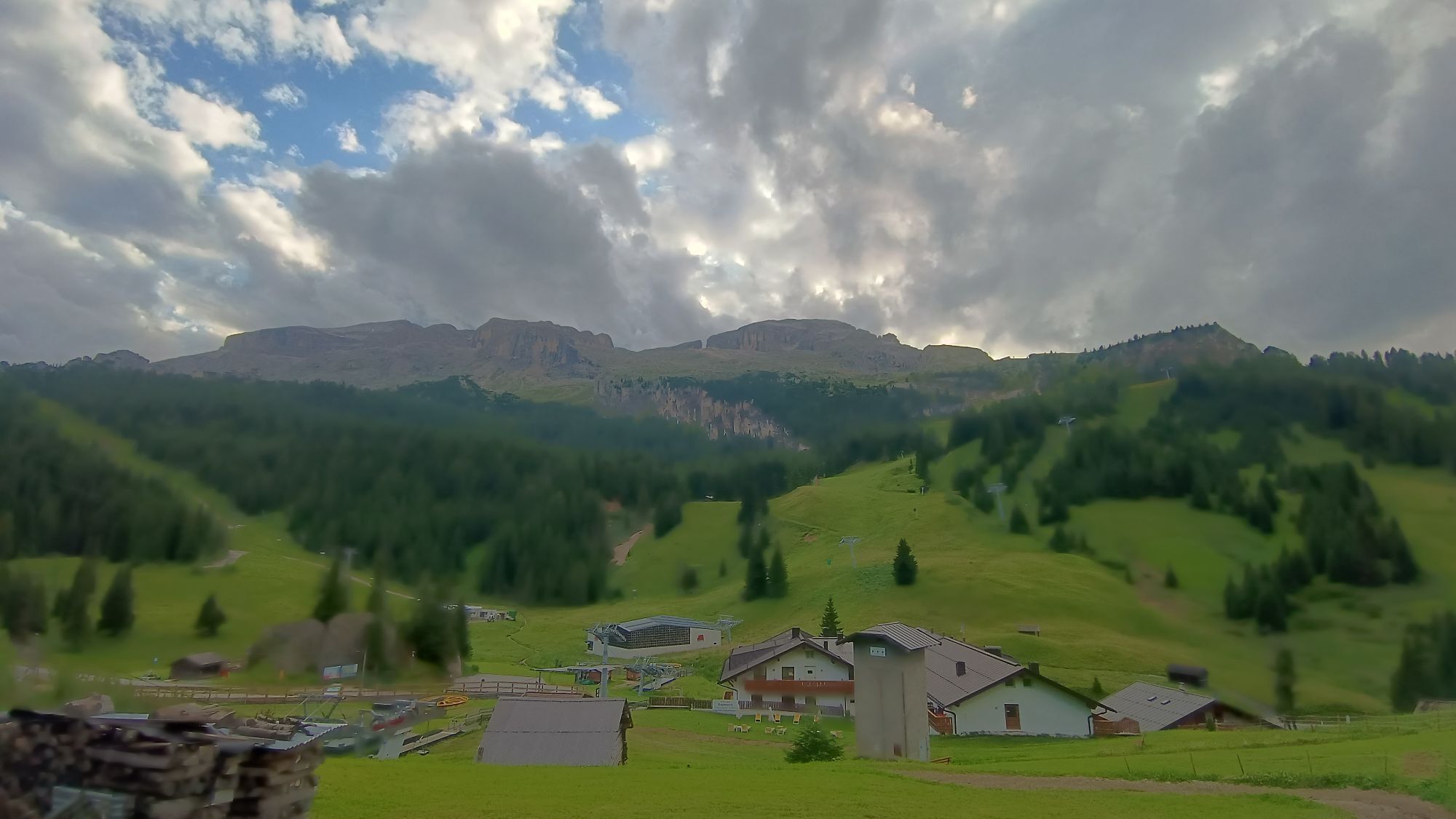

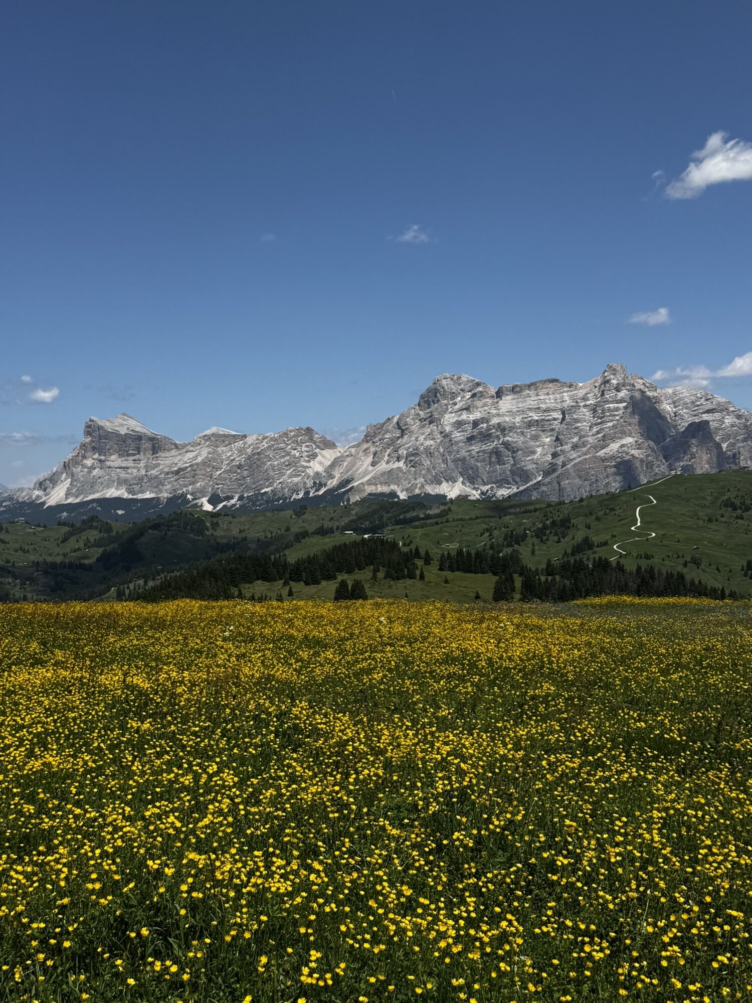
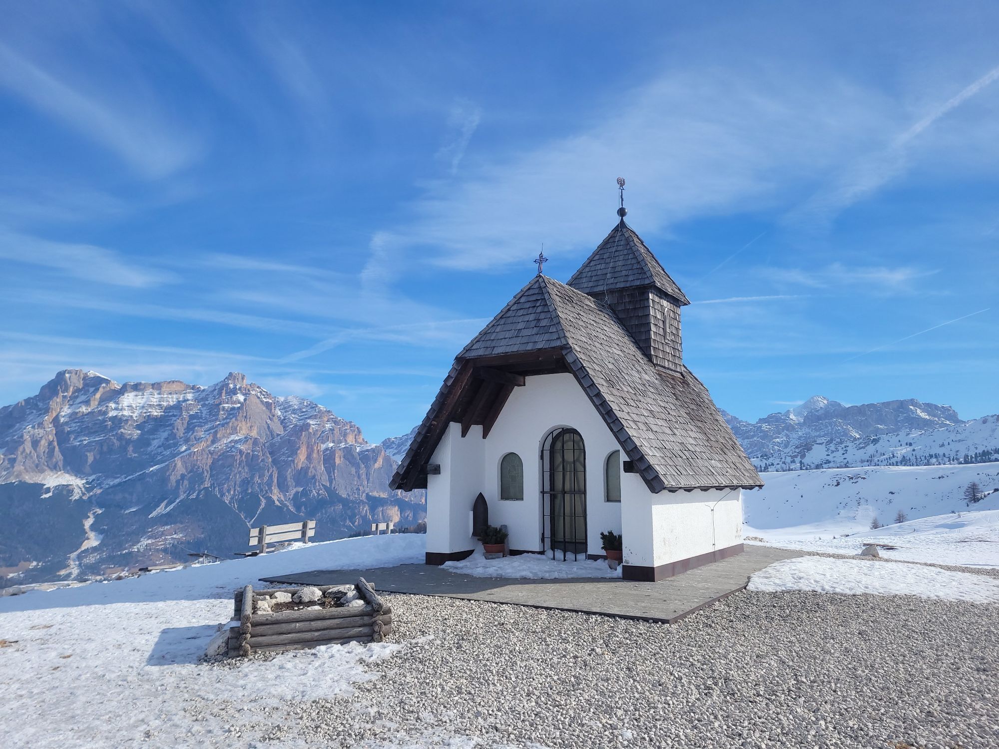
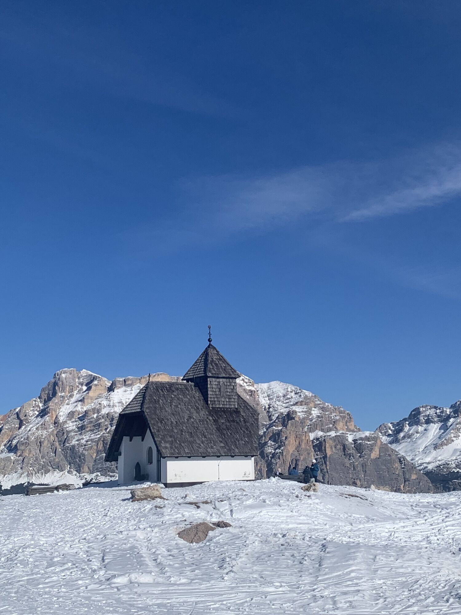
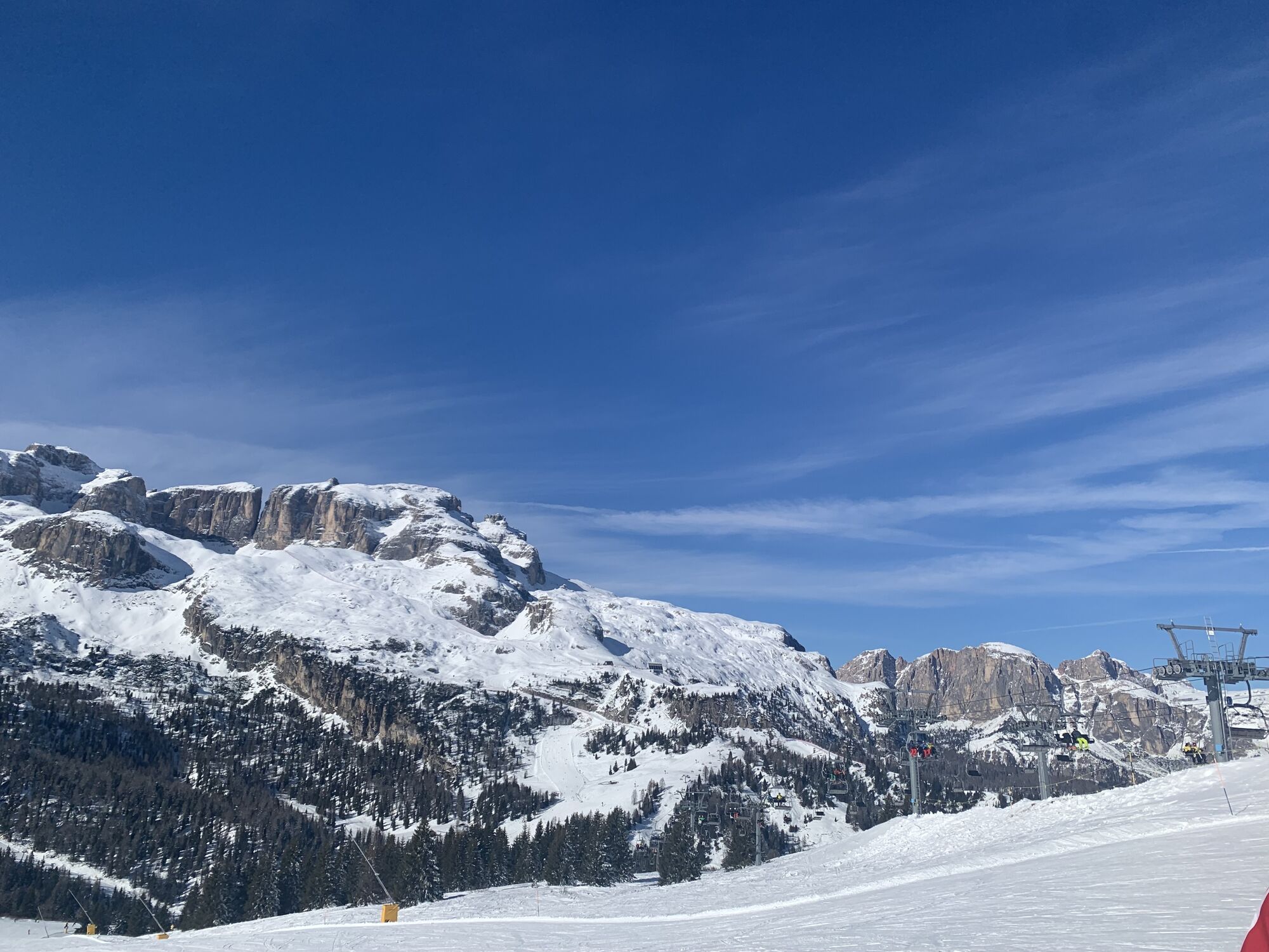
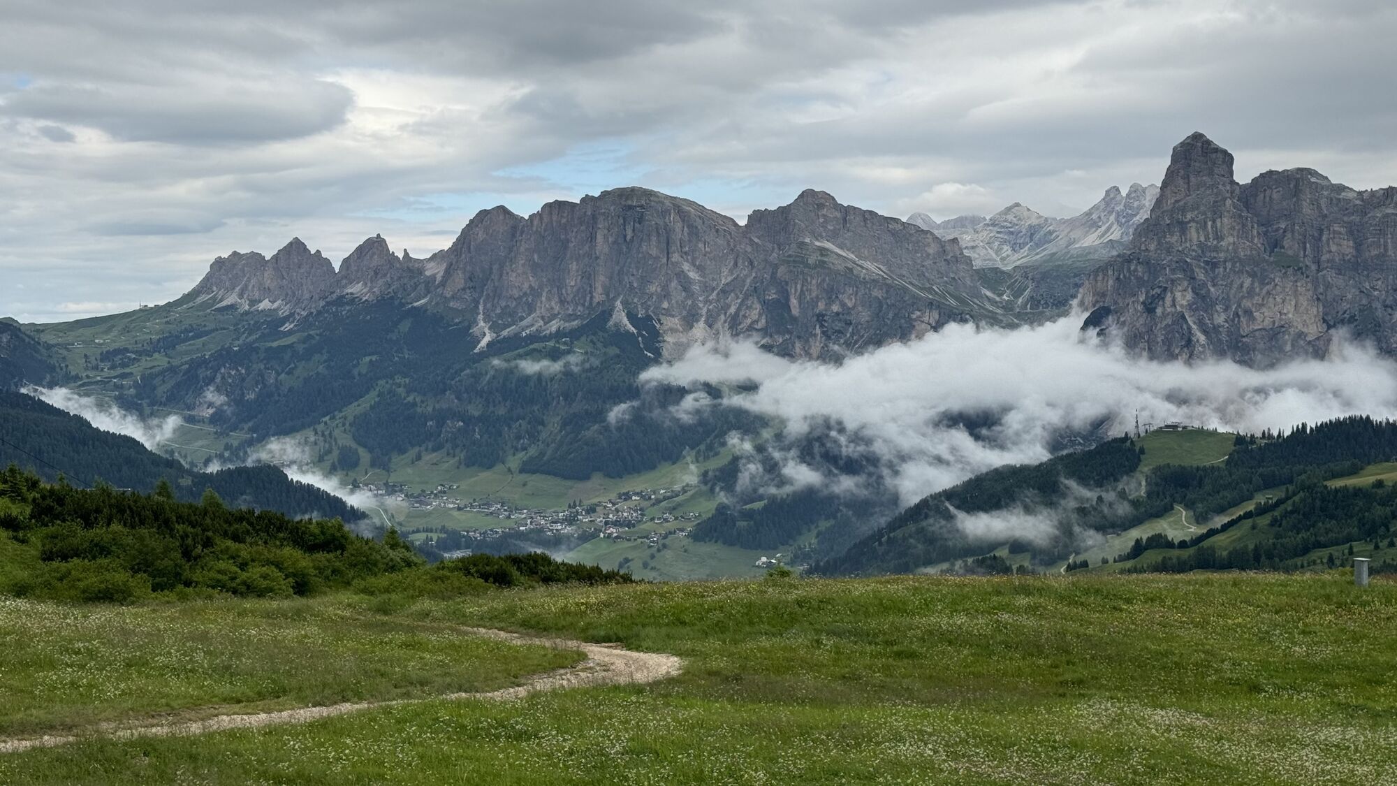
Departure from Passo Campolongo with the chairlift "Cherz I" that takes you to the "Cherz" plateau with a 360° panorama.
From here follow path no. 3/A towards Passo Incisa, then continue on the dirt road...
Departure from Passo Campolongo with the chairlift "Cherz I" that takes you to the "Cherz" plateau with a 360° panorama.
From here follow path no. 3/A towards Passo Incisa, then continue on the dirt road to reach Pralongià.
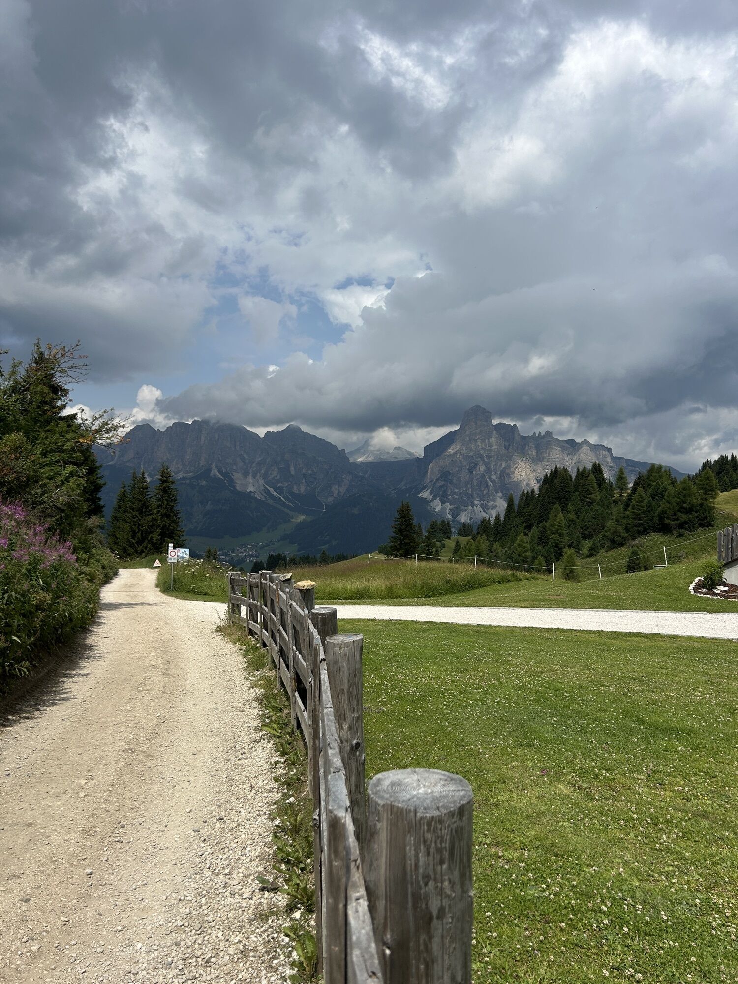
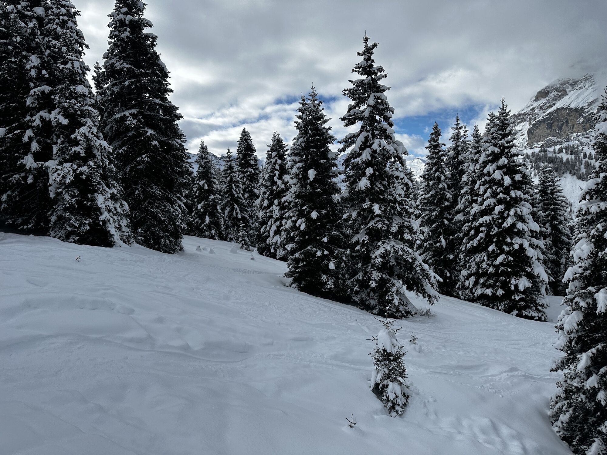
The return is the same along the dirt road to Incisa, then take path no. 3 "Jagerweg" which in a pleasant walk through the forest brings you back to Passo Campolongo.



Departure from Passo Campolongo with the chairlift "Cherz I" that takes you to the "Cherz" plateau with a 360° panorama.
From here continue on path no. 3/A towards Passo "Incisa" and the dirt road towards Pralongià.
Return to Incisa along the same dirt road, then follow path no. 3 "Jagerweg" which, in a pleasant walk through the forest, leads you back to Passo Campolongo.
Da
Da
Da
The hiker's kit:
waterproof backpack or with waterproof cover (not too large if the hike is short) topographic map (alternatively local map with recommended paths) compass and altimeter (alternatively sports watch) binoculars water bottles energy bars or snacks chocolate filled sandwiches (alternatively lunch in a mountain hut) breathable T-shirt spare T-shirt (preferably breathable) sweater or fleece windproof and waterproof jacket shorts long trousers socks (long or mid-calf) soft and ankle-supporting multi-sport boots light hat/headband anti-reflective sunglasses sunscreen telescopic trekking poles first aid kit (plasters, disinfectant, gauze, etc.)Always let someone know where you are going and the approximate duration of the hike.
The emergency phone number is 112 or 118 (ambulance).
By car
From Innsbruck, Brenner Motorway A22 to the Bressanone exit, continue through Val Pusteria, Val Badia and Passo Campolongo. From Verona/Milan, Brenner Motorway A22 to the Egna Ora exit, continue through Val di Fiemme, Val di Fassa, Passo Pordoi, Arabba and Passo Campolongo. From Venice, Motorway A27 Belluno exit, follow Agordina 203 towards Agordo, Caprile, Arabba and Passo Campolongo.By train
Nearest railway stations:
Belluno - 70 km Brunico - 48 km Ponte Gardena - 51 kmBy bus
Brunico - 47 km connection via SAD line www.sad.it Belluno – 70 km connection via Dolomitibus line www.dolomitibus.itBy plane
Venice Treviso/Venice Marco Polo – 160/170 km Innsbruck - 140 km Verona – 270 km Milan Bergamo/Milan Malpensa - 310/400 kmPasso Campolongo, starting point of the hike, is connected with the tourist centers of the Province of Belluno and Trentino - Alto Adige by extra-urban lines.
More information, timetables and service activation dates at www.sad.it
Parking available in lay-bys and clearings along Passo Campolongo.
Before leaving, we recommend you check the weather conditions, which in the mountains can change rapidly, and the path conditions.
"The sustainable hiker's handbook":
choose the route according to your physical and technical abilities inform yourself before departure on the route you intend to take (distances, elevation gain, time required, springs, fountains, huts, lifts, bivouacs, etc.) check the condition of the chosen path never undertake a hike alone always carry all waste back down please stay on marked paths please keep quiet do not collect stones or minerals do not feed animals lighting fires is forbidden do not pick flowers or plants


Priljubljeni izleti v okolici
-
4.8
Peitlerkofel hiking circuit
srednjaPohodništvo 12.9 km -
4.8
Pordoi Pass - Sass Pordoi - Forcella Pordoi - Piz Boè - Boè Refuge - Forcella Pordoi - Pordoi Pass
težkoPohodništvo 8.39 km -
5.0
Langkofel Klettersteig/Ferrata Furcela de Saslonch
težkoVia ferrata 7.07 km -
5.0
Um den Langkofel
srednjaPohodništvo 9.76 km -
4.4
Viel dal pan
svetlobaPohodništvo 6.60 km -
4.8
Langkofel-Umrundung
srednjaPohodništvo 12.9 km -
4.8
Pisciadùsteig Sella Gruppe
srednjaVia ferrata 7.15 km -
4.8
Passo Giau roundtrip
srednjaPohodništvo 8.10 km -
4.6
Five Towers Tour (Averau, Nuvolau and Scoiattoli refuges) from Giau Pass
srednjaPohodništvo 10.8 km -
4.9
Via Ferrata "Cesare Piazzetta"
težkoVia ferrata 9.07 km
Pohodništvo in sledenje


Ne zamudite ponudb in navdiha za naslednje počitnice
Vaš e-poštni naslov je bil dodan na poštni seznam.





