







To the first meadows at altitude, memories of rural life in Alba

Stopnja težavnosti: 3
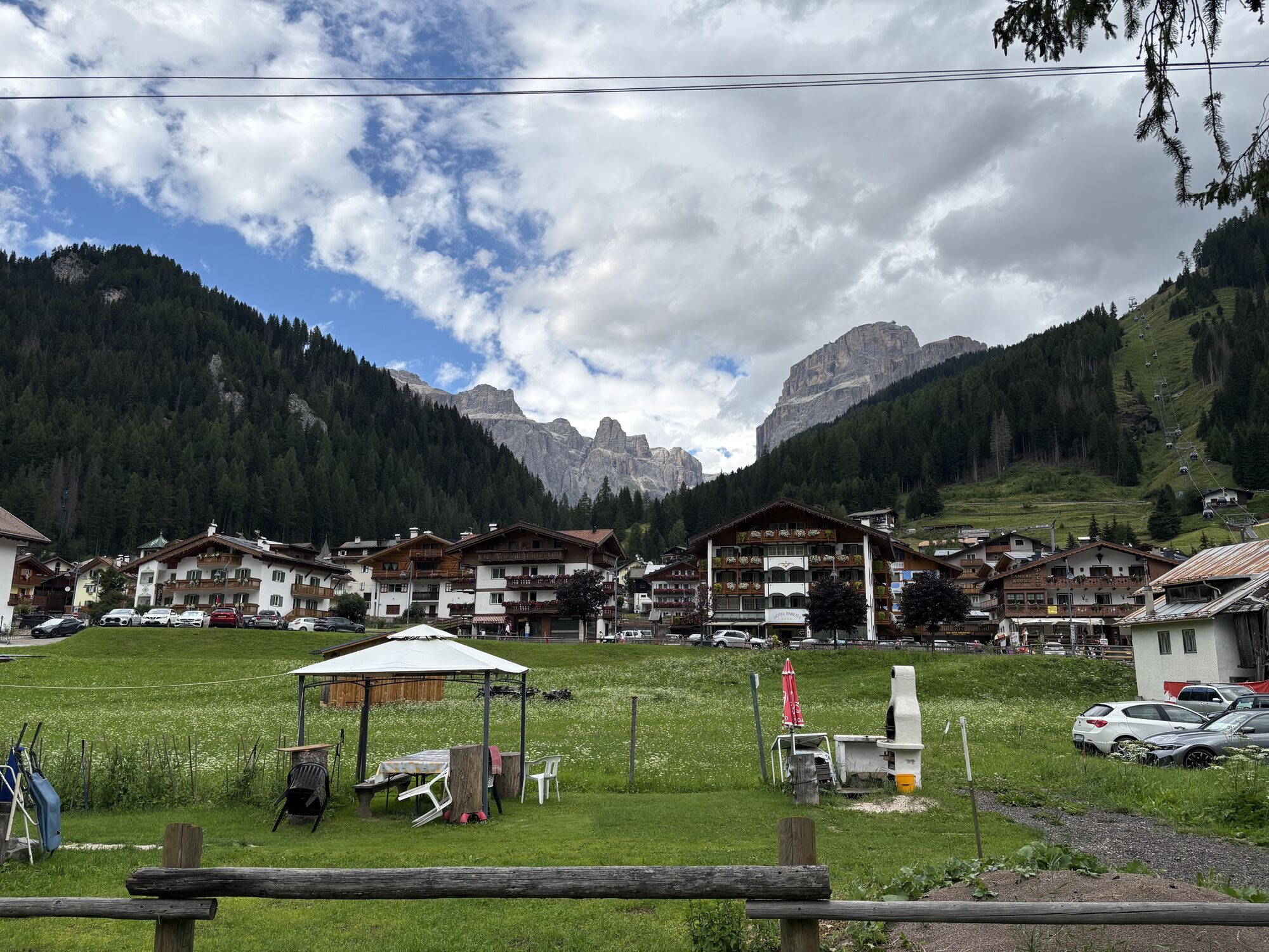
Alba, in Fassa Dèlba, means rock face. The hamlet is overlooked on the west side by the rocky ridge of Dolèda, which is very light in color, being made up of extremely pure limestone piers. Perhaps it...
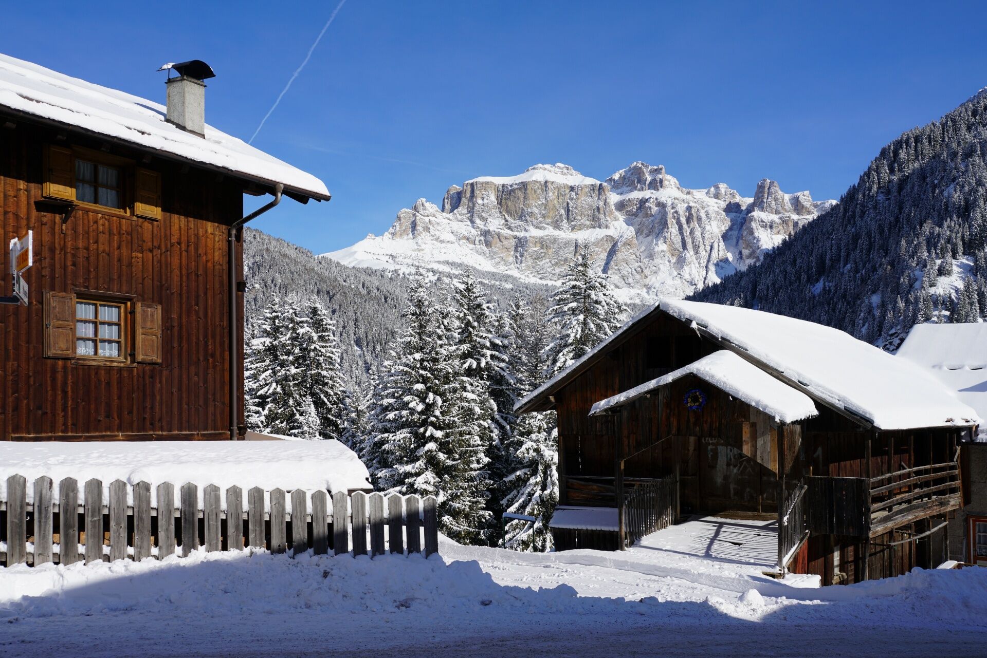
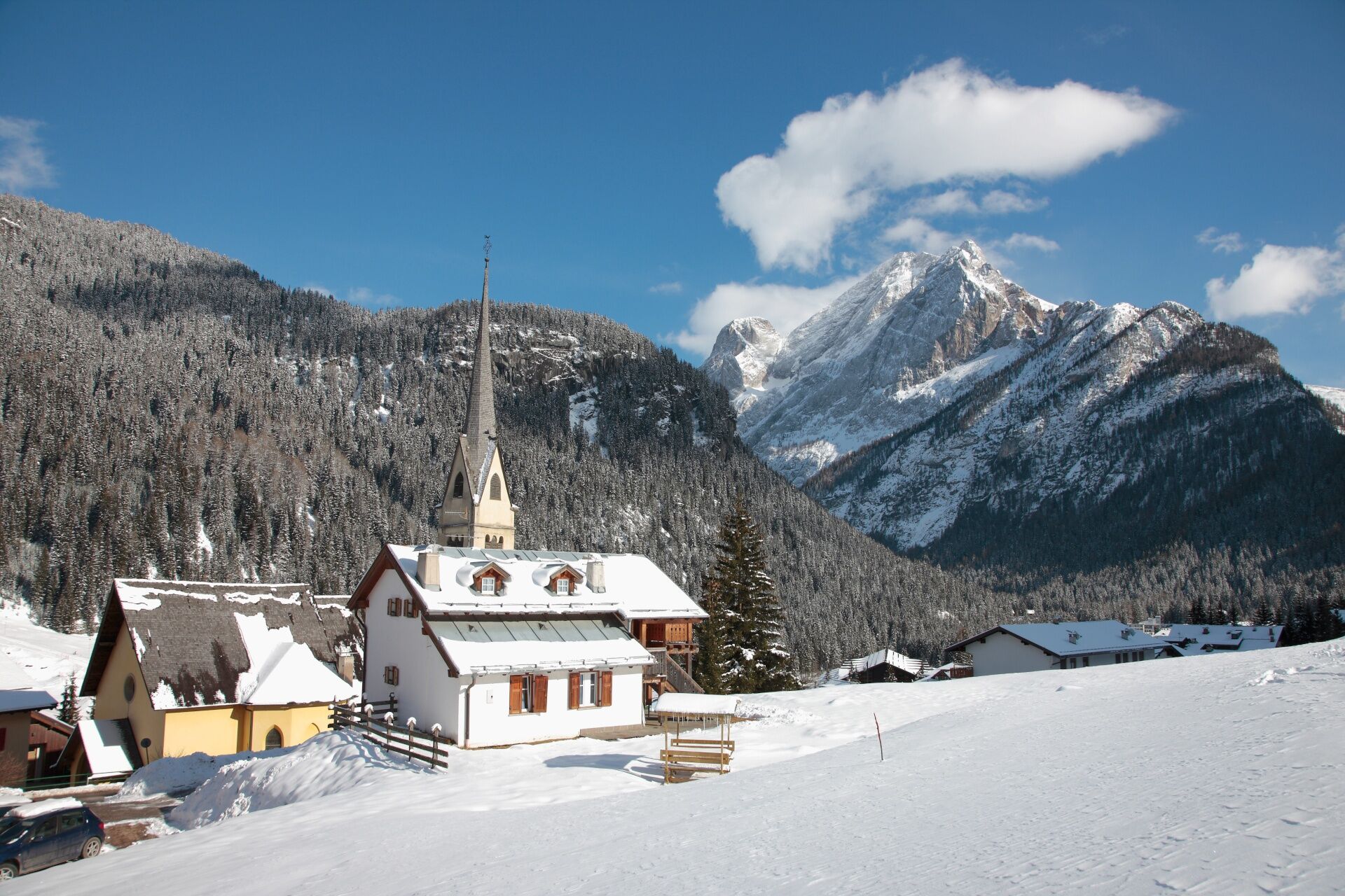
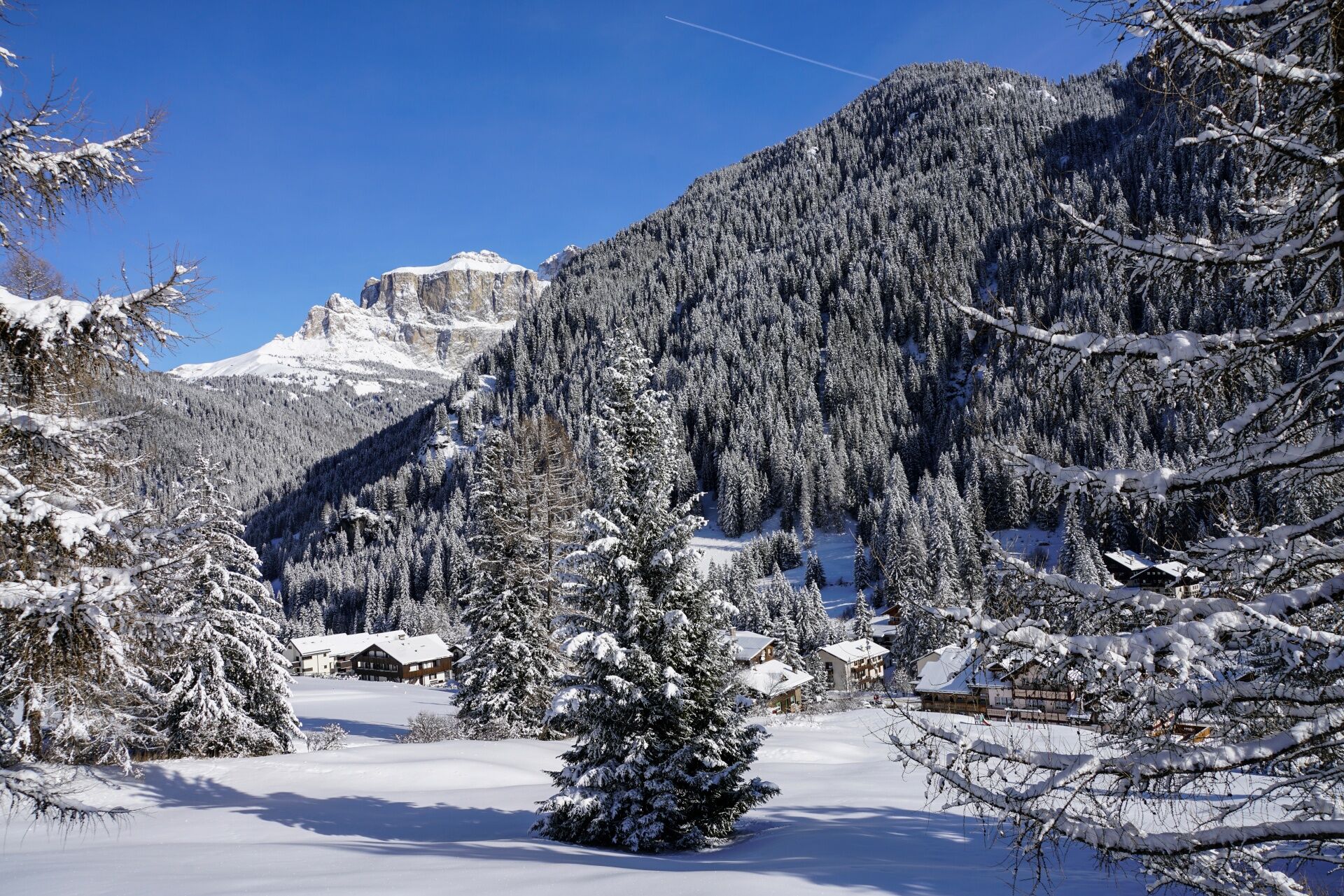
Alba, in Fassa Dèlba, means rock face. The hamlet is overlooked on the west side by the rocky ridge of Dolèda, which is very light in color, being made up of extremely pure limestone piers. Perhaps it is this color that has forged the Ladin imagination with the legend of a spirit that continues to live, protect and bless the hamlet and the mountain. It is the immortal soul of a noblewoman, Dolèda, who now also lives on in a light steel sculpture that lets the wind, the sun's rays, and the gaze over Col dei Rossi, Canazei's Belvedere. The work is 3.60 meters high and was created by Fassa artist Andrea Dorigatti. Dolèda, legend has it, lived in a wonderful castle where he kept a rich vein of gold. His castle no longer exists, but, again according to legend, his precious stones were used to build the bell tower of the Alba church dedicated to St. Anthony Abbot.

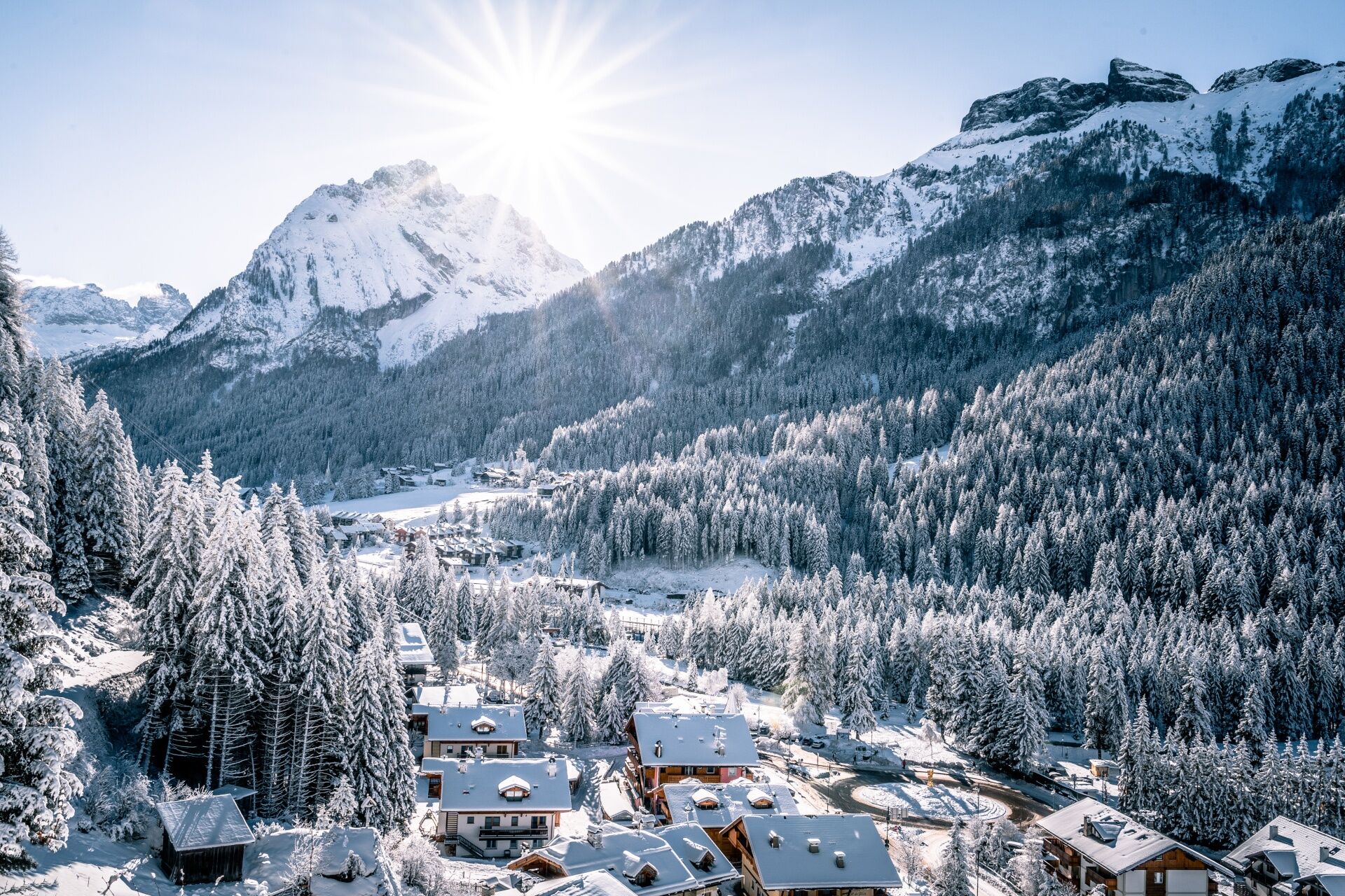
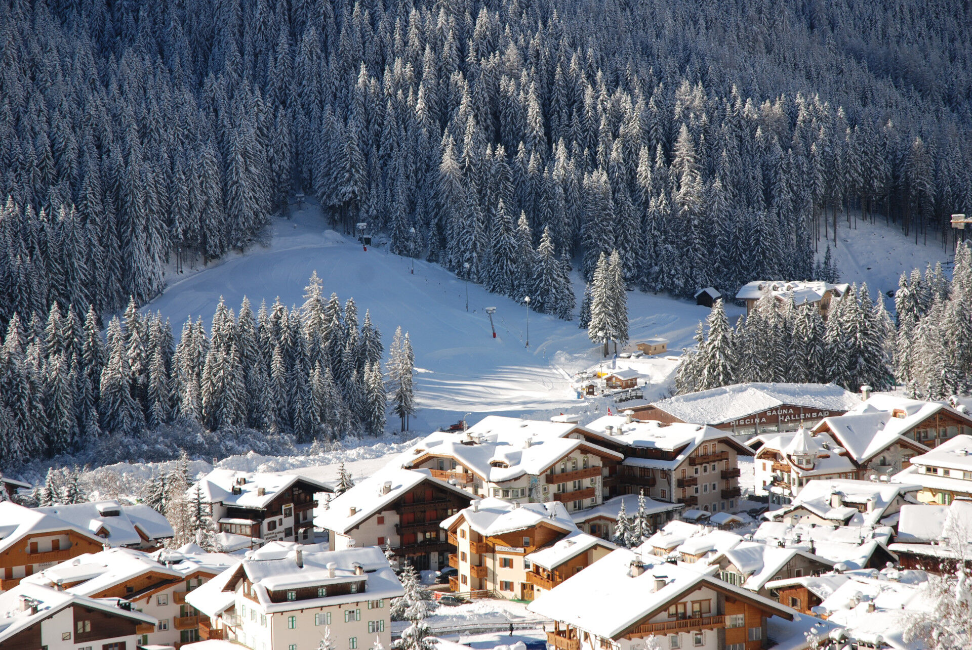
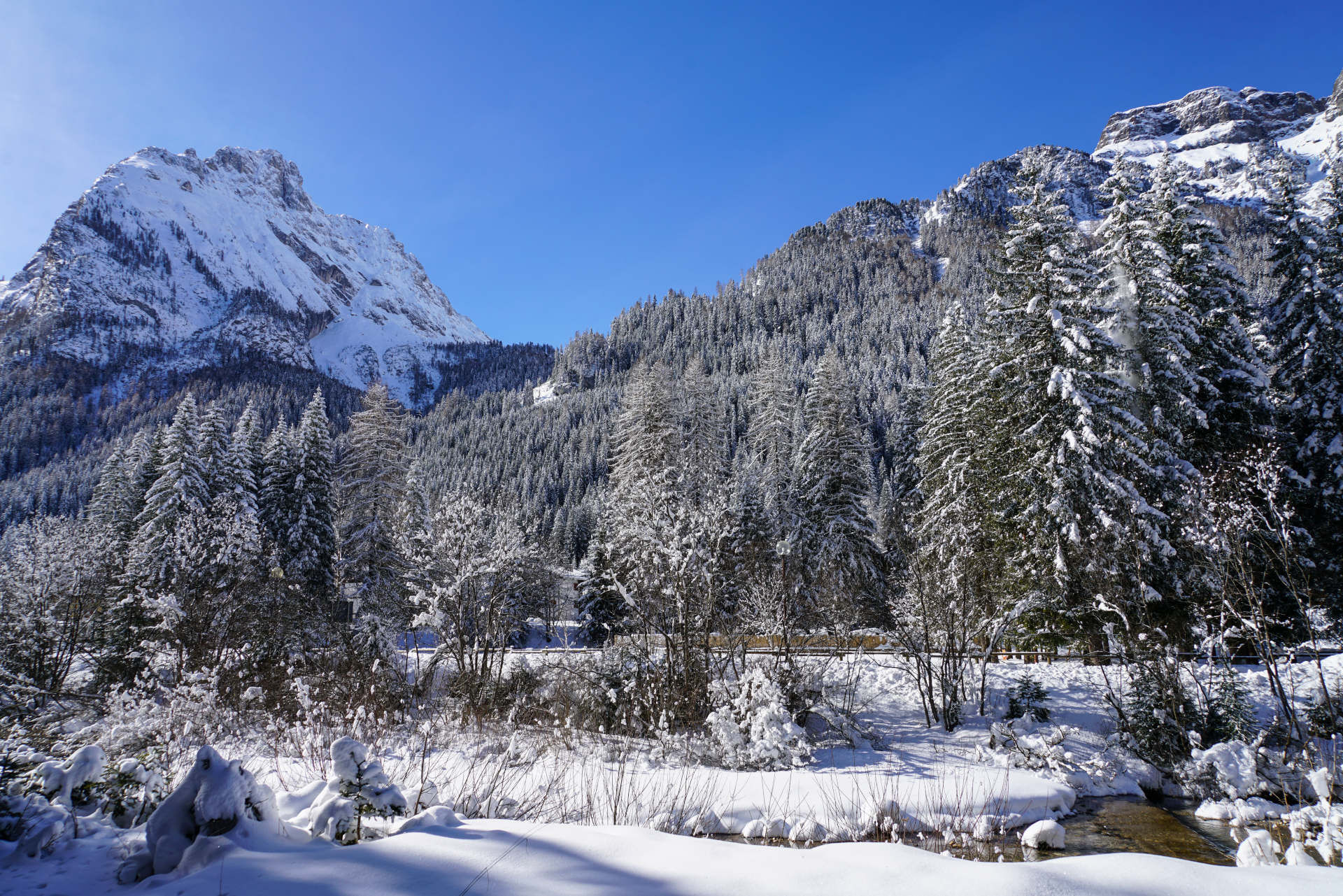
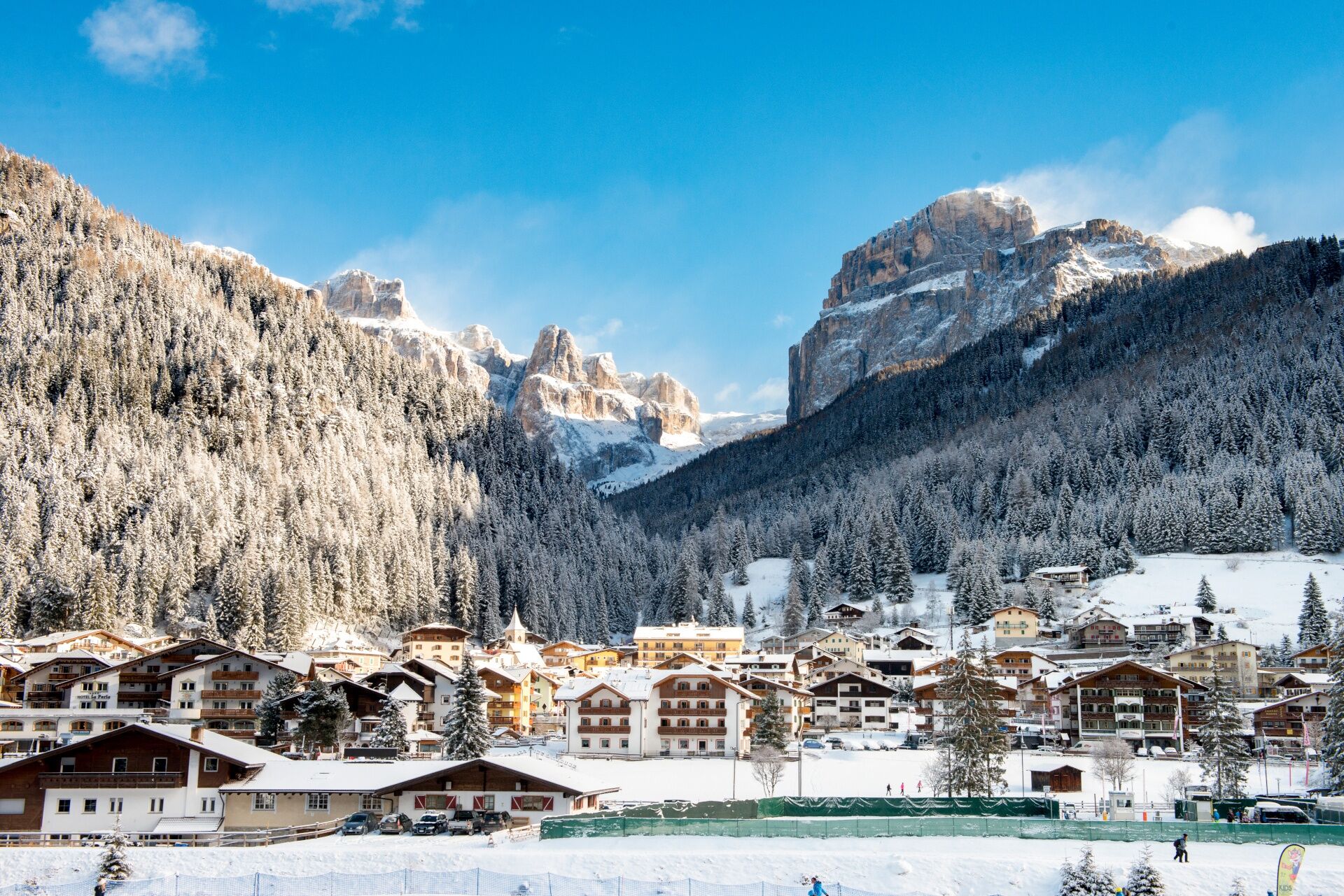
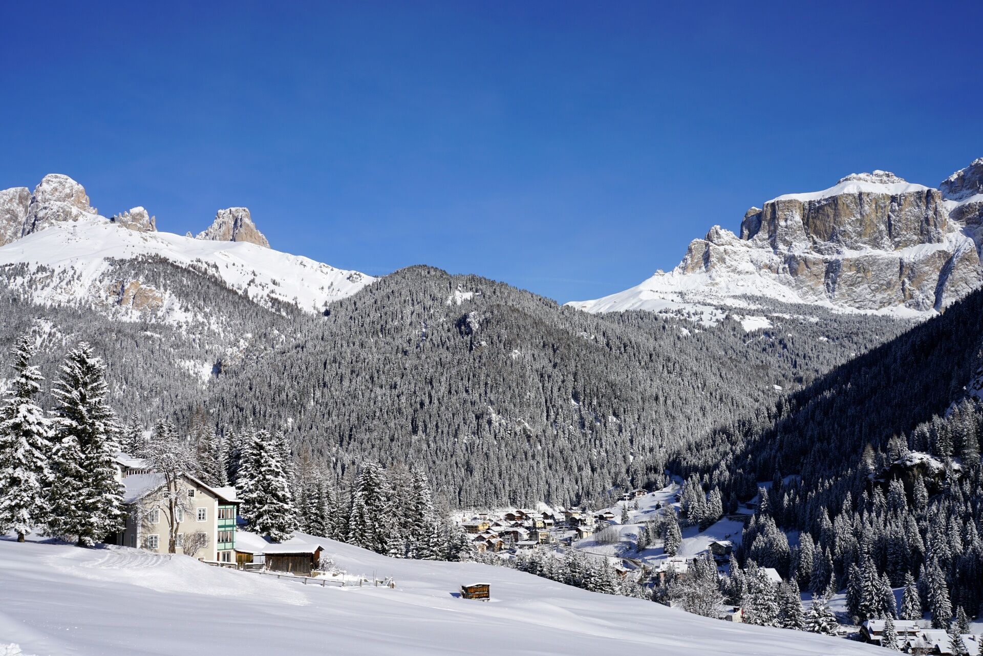
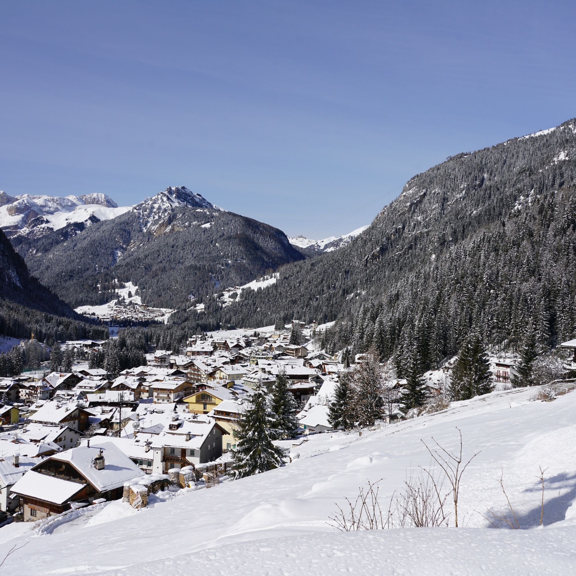

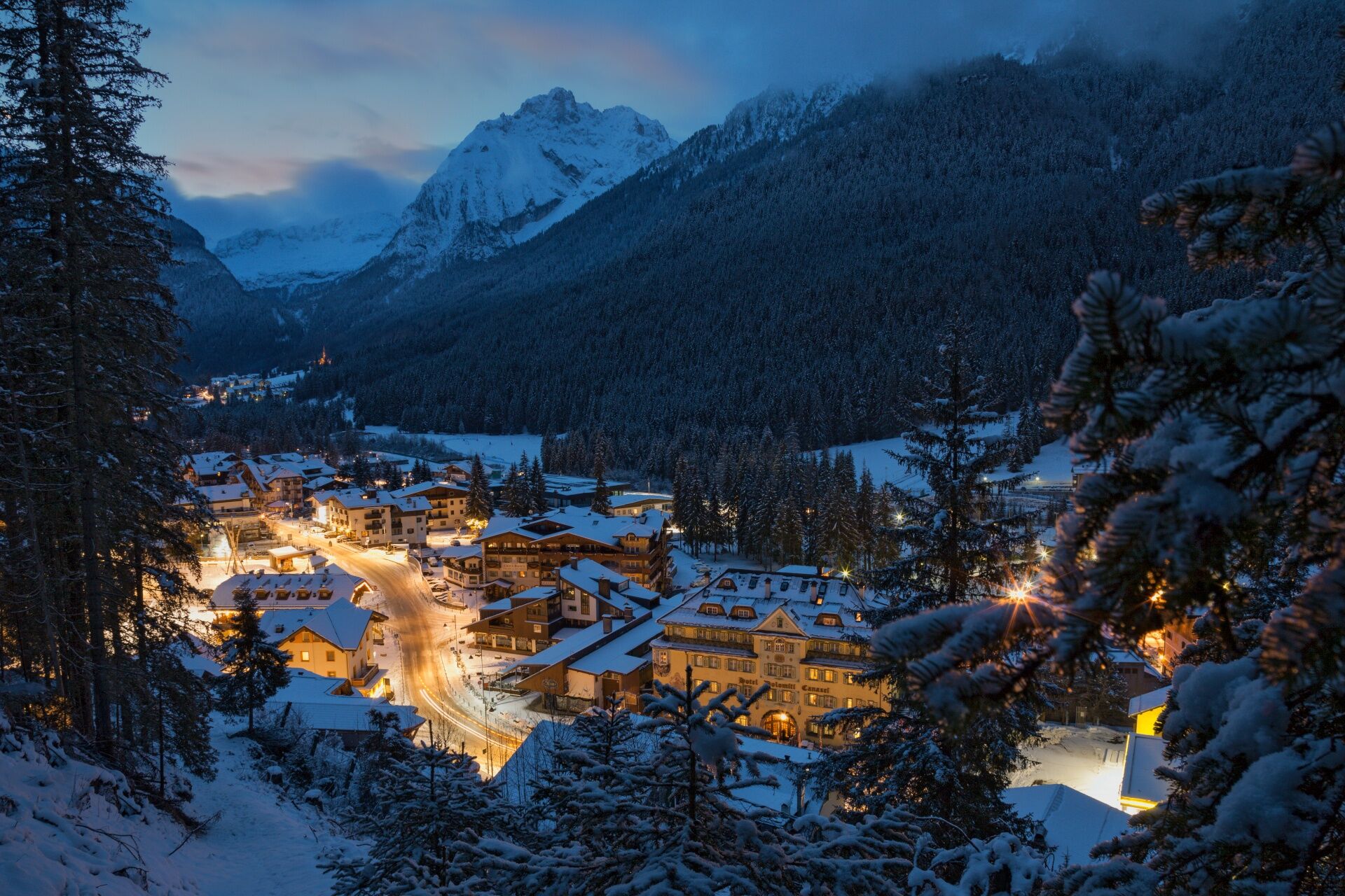
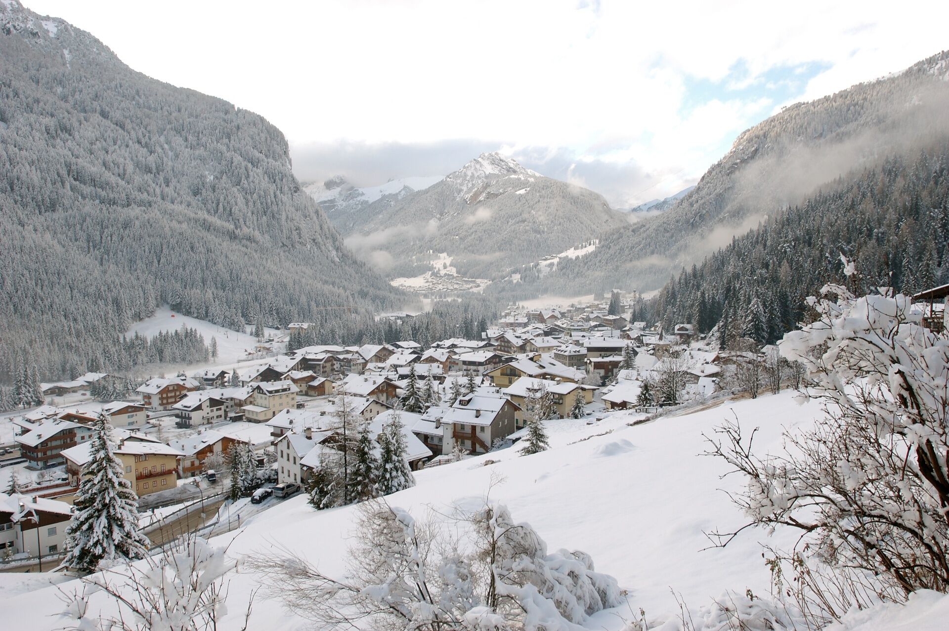
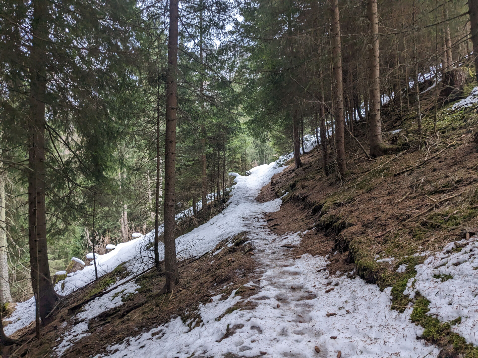
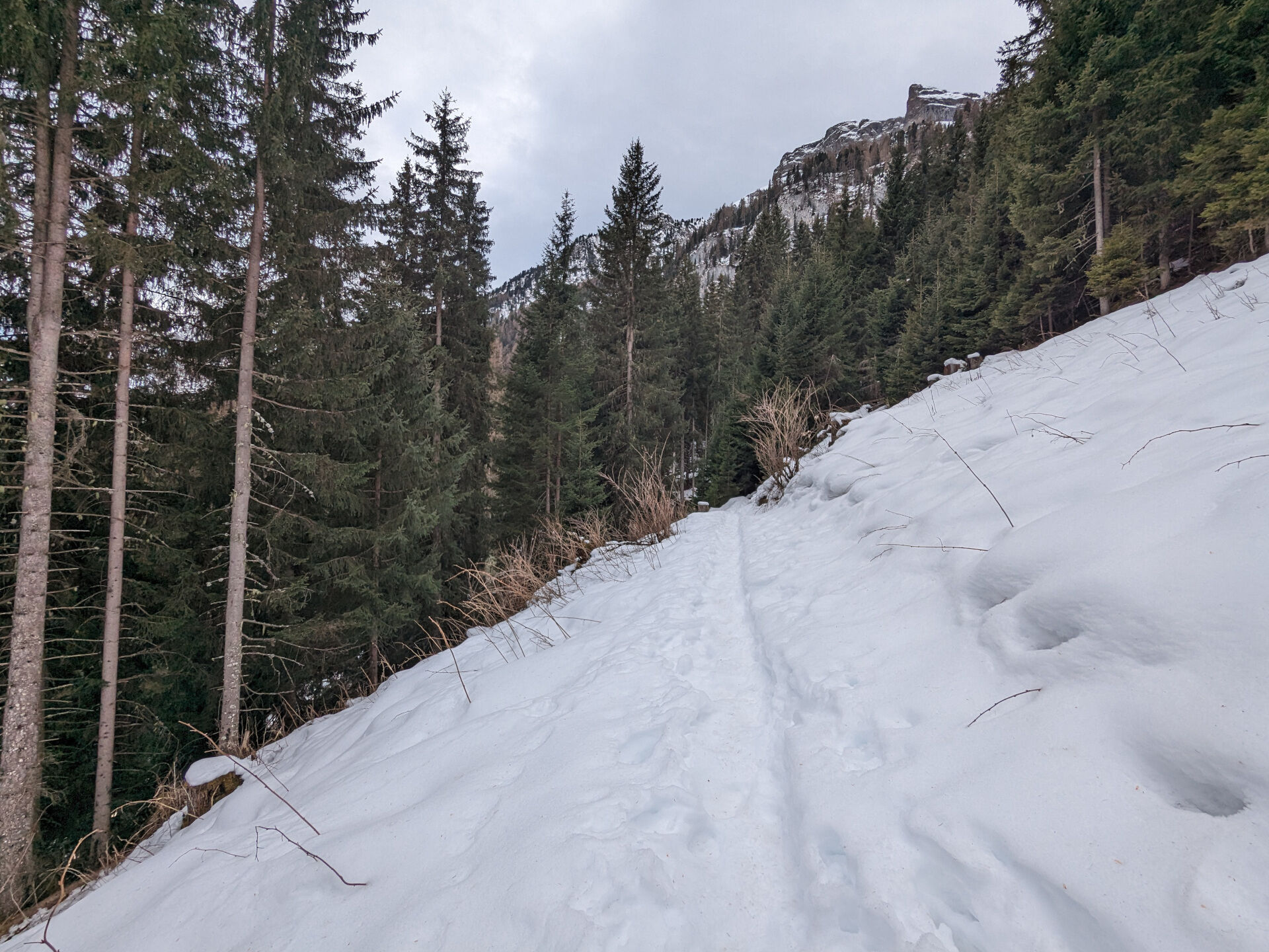
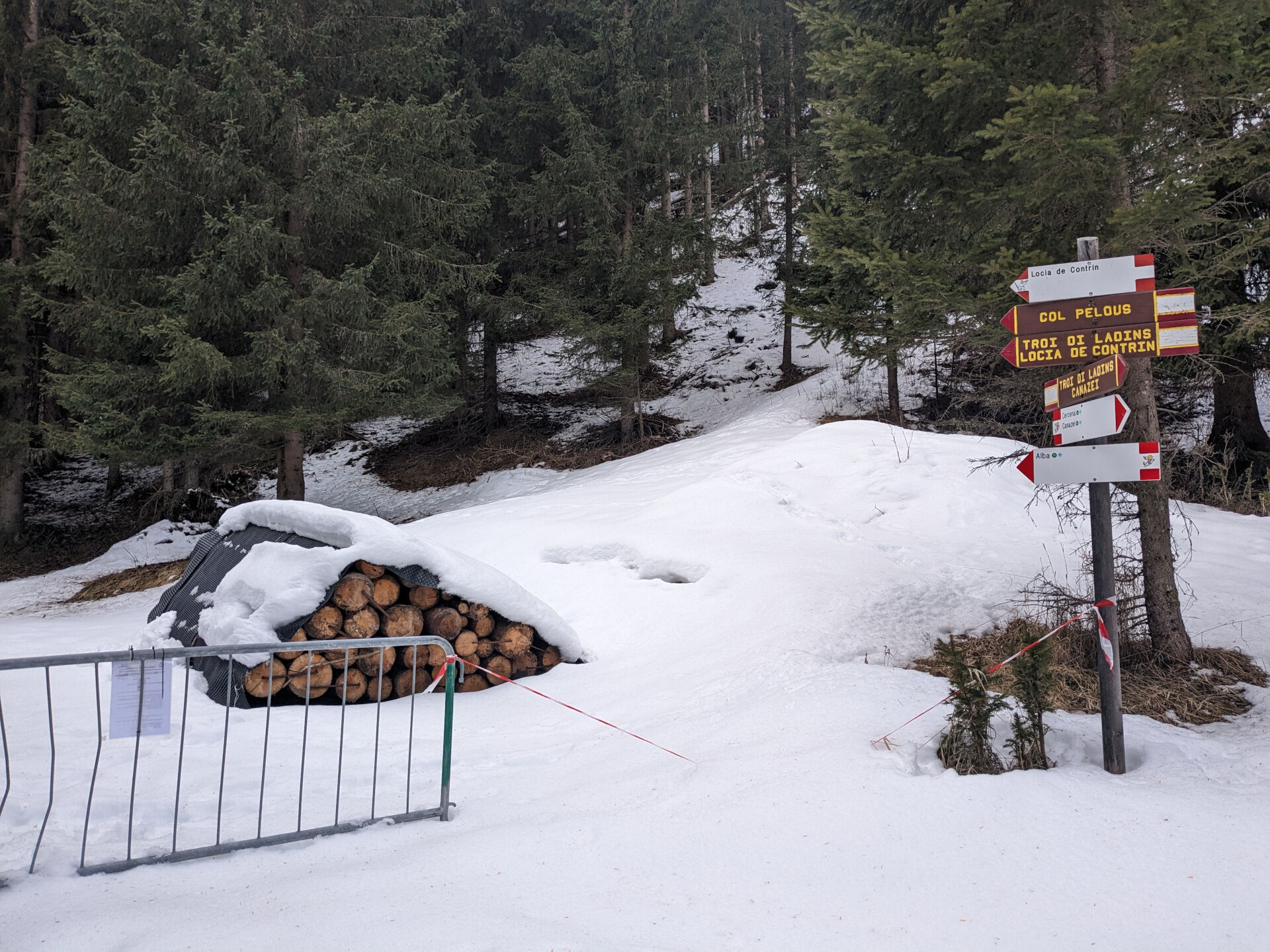
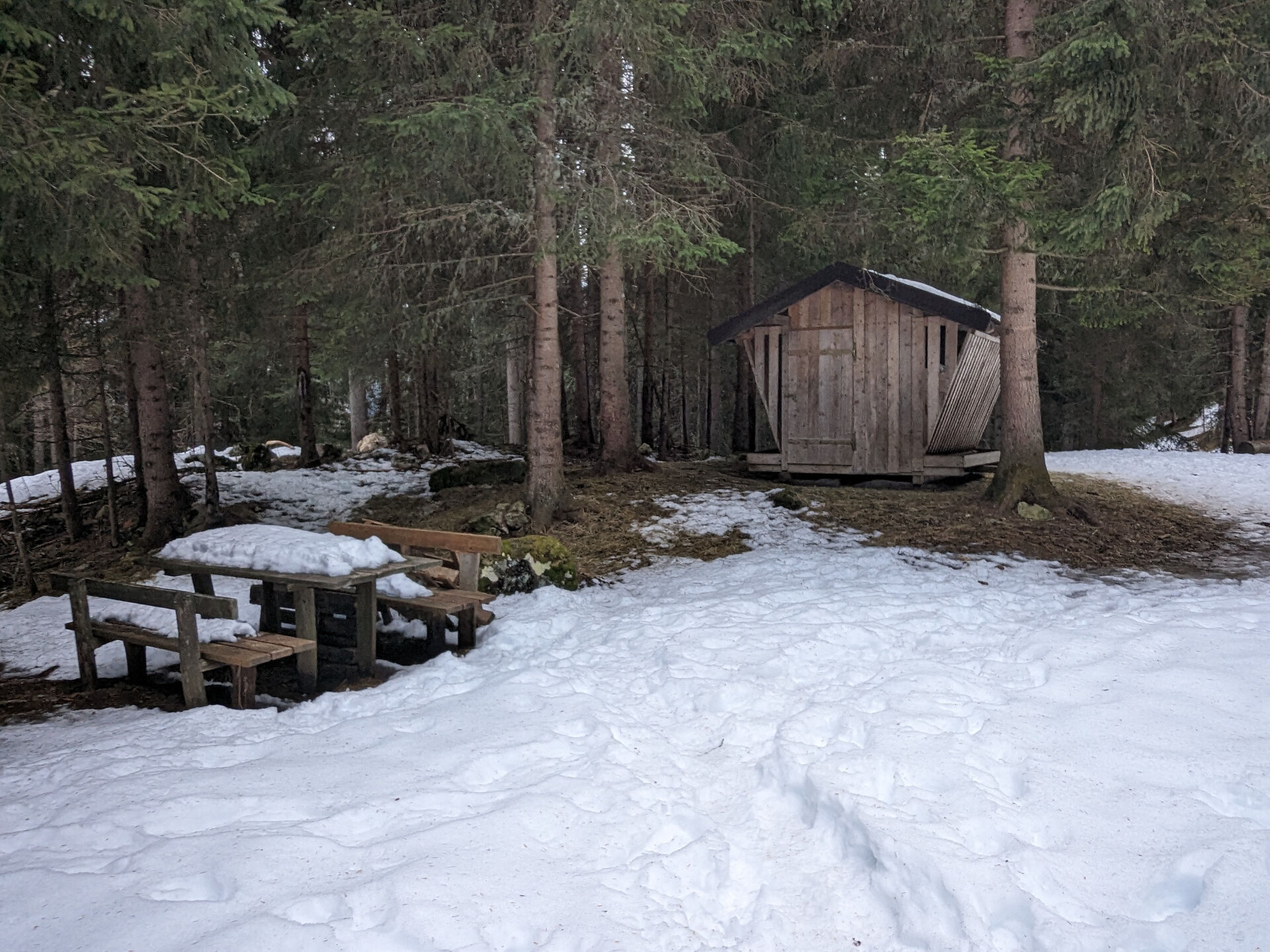

Winter walk from Canazei to Alba (no. 71)
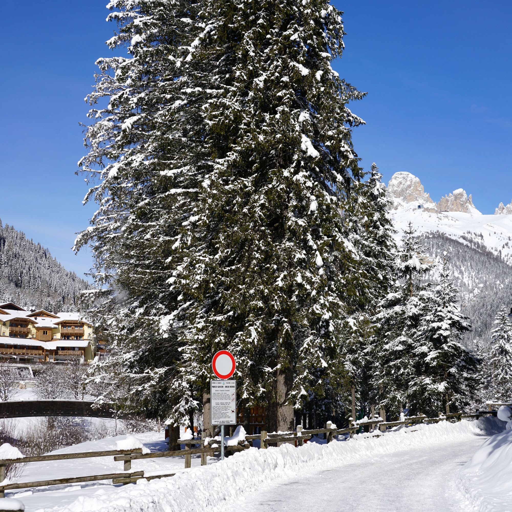
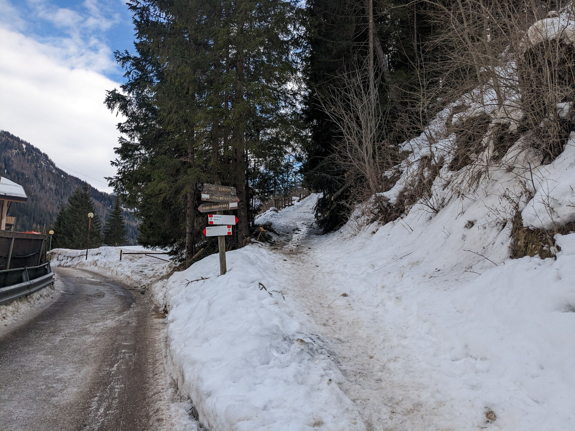
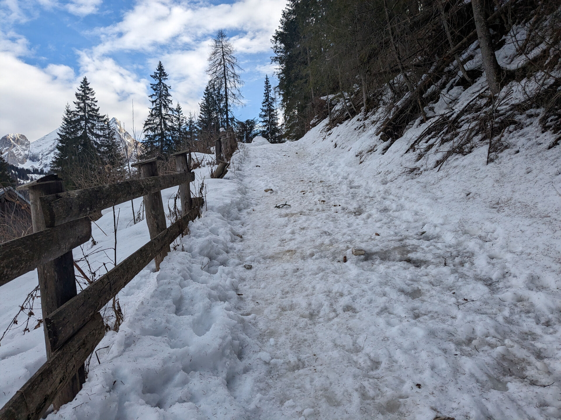
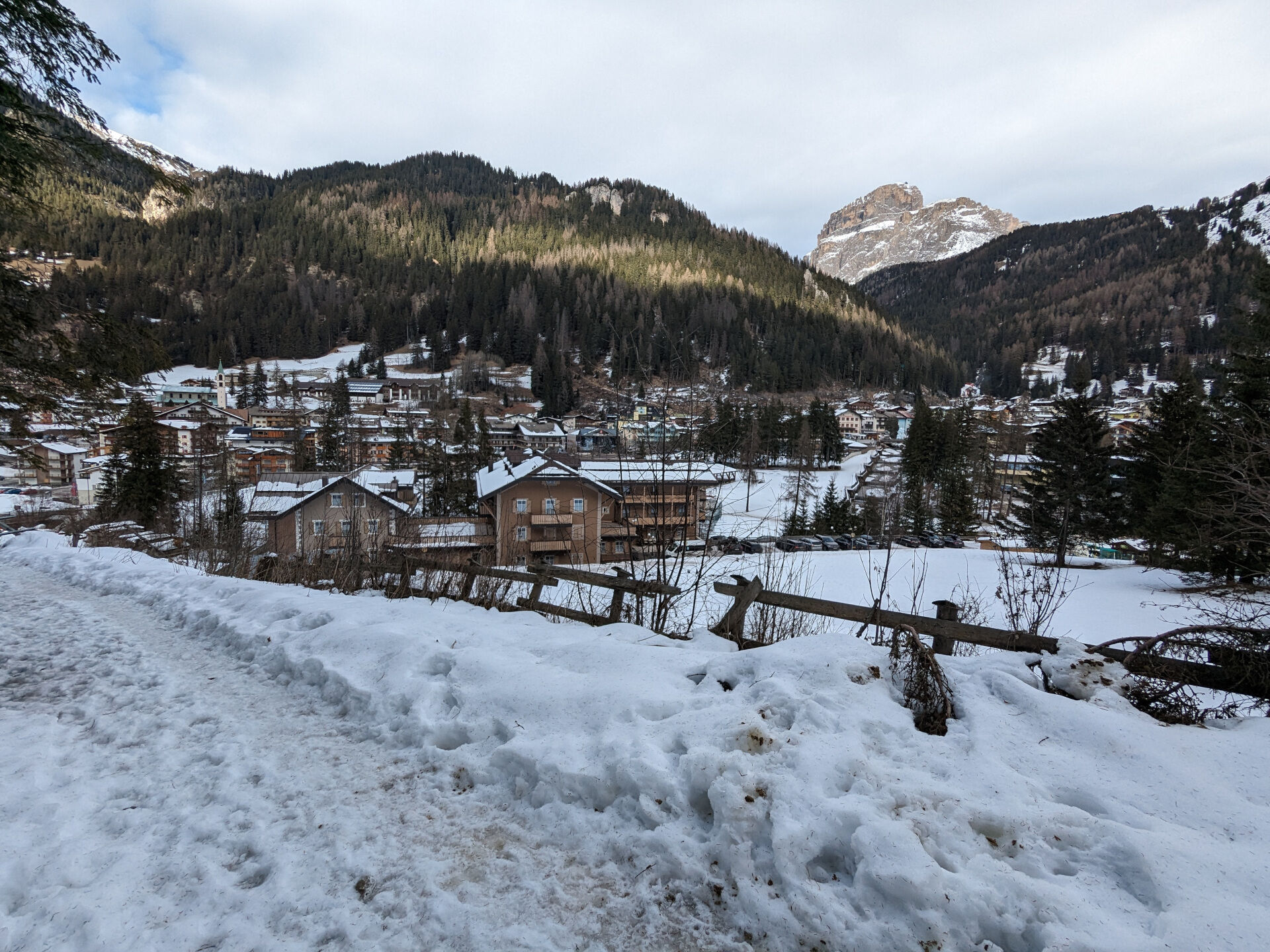
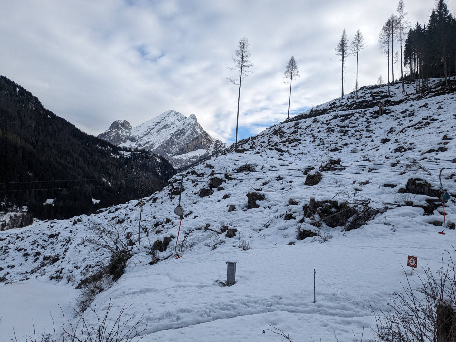
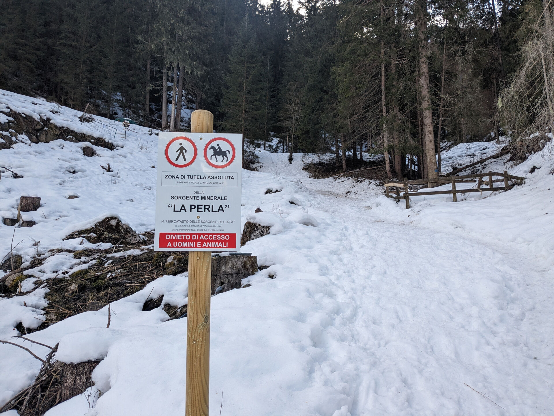
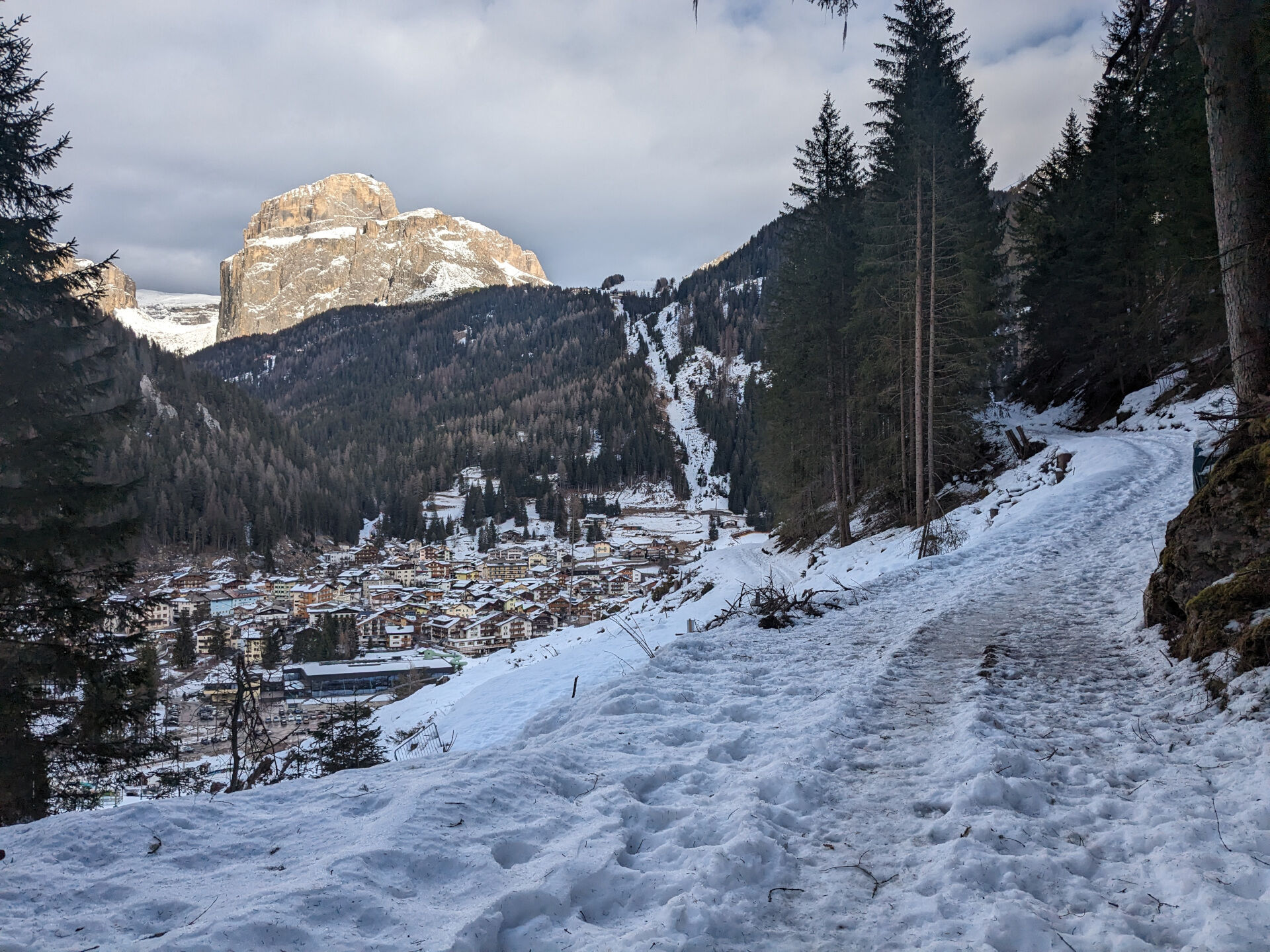
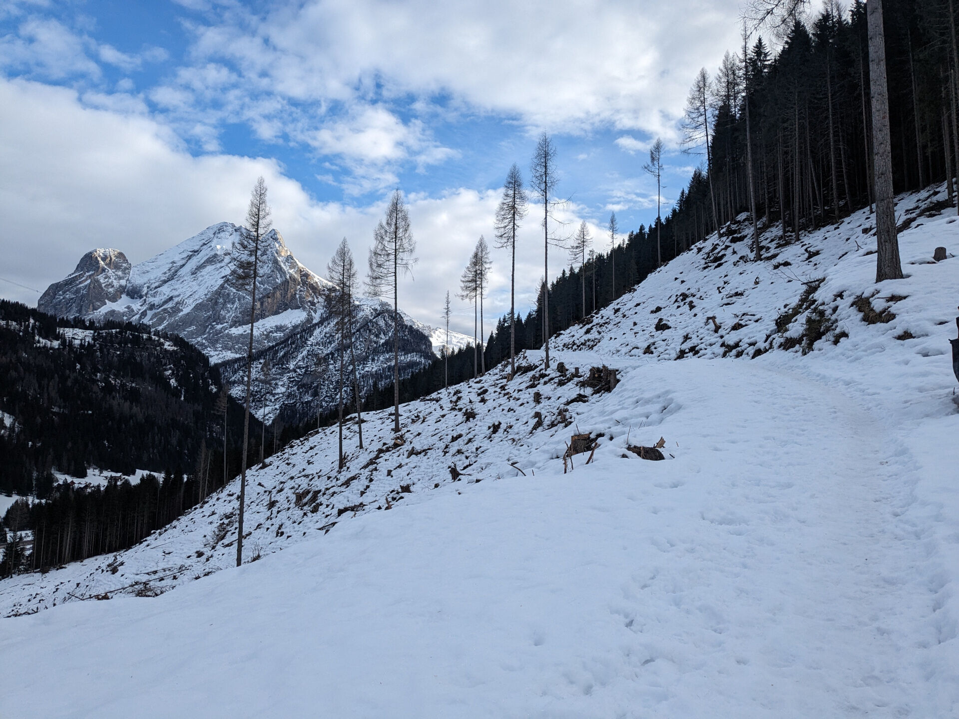
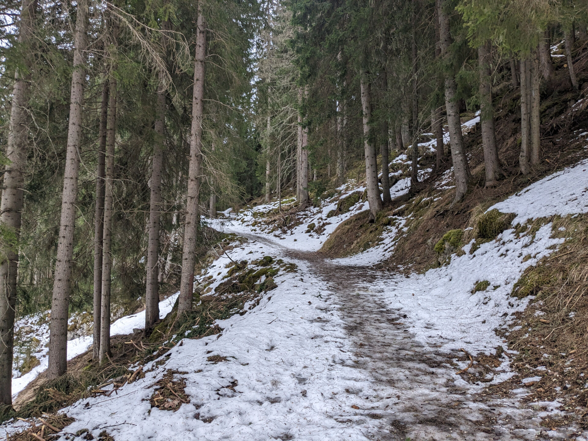
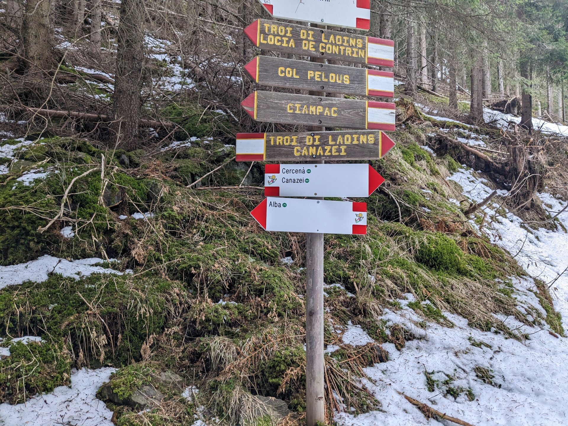
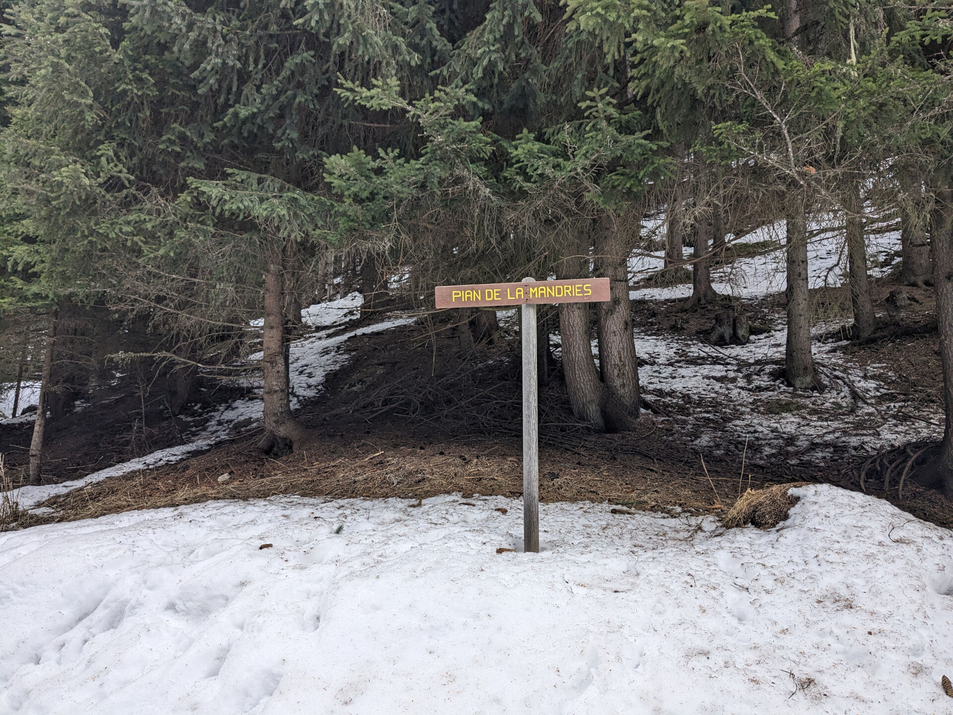
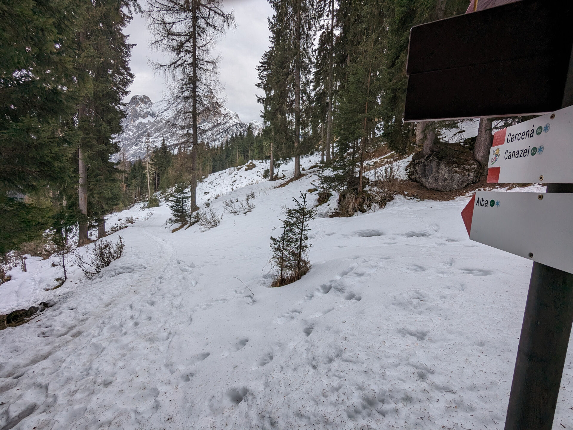
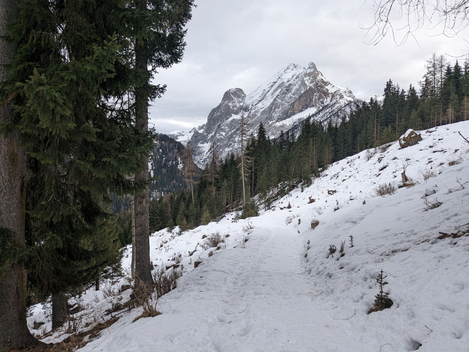
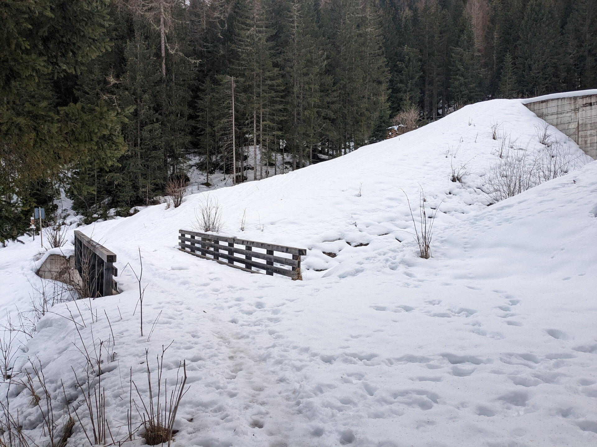
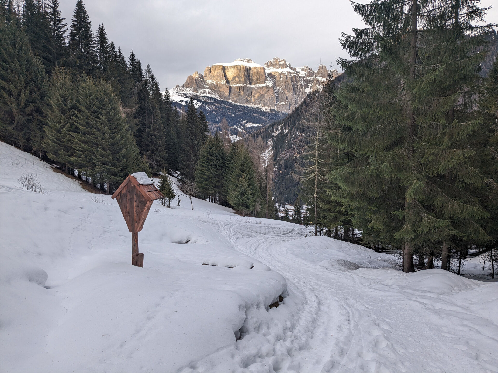
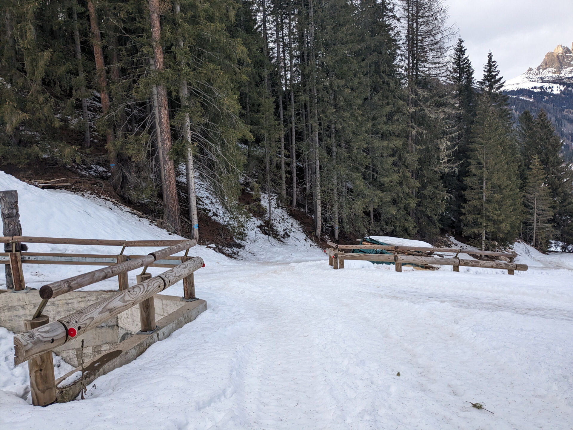
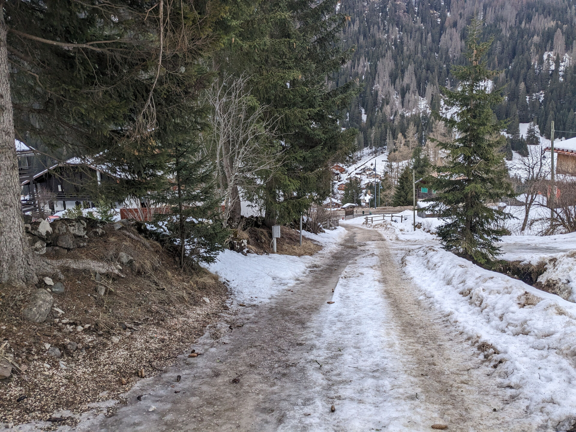
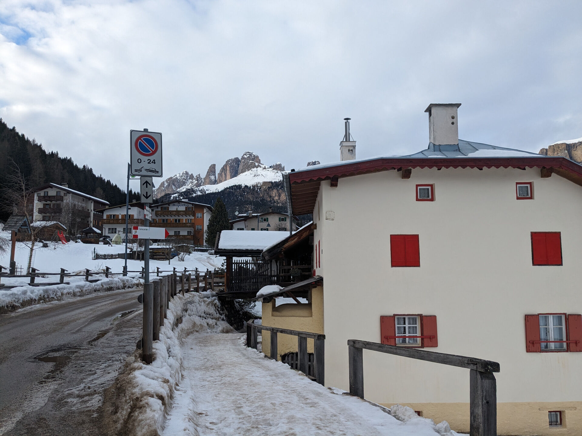
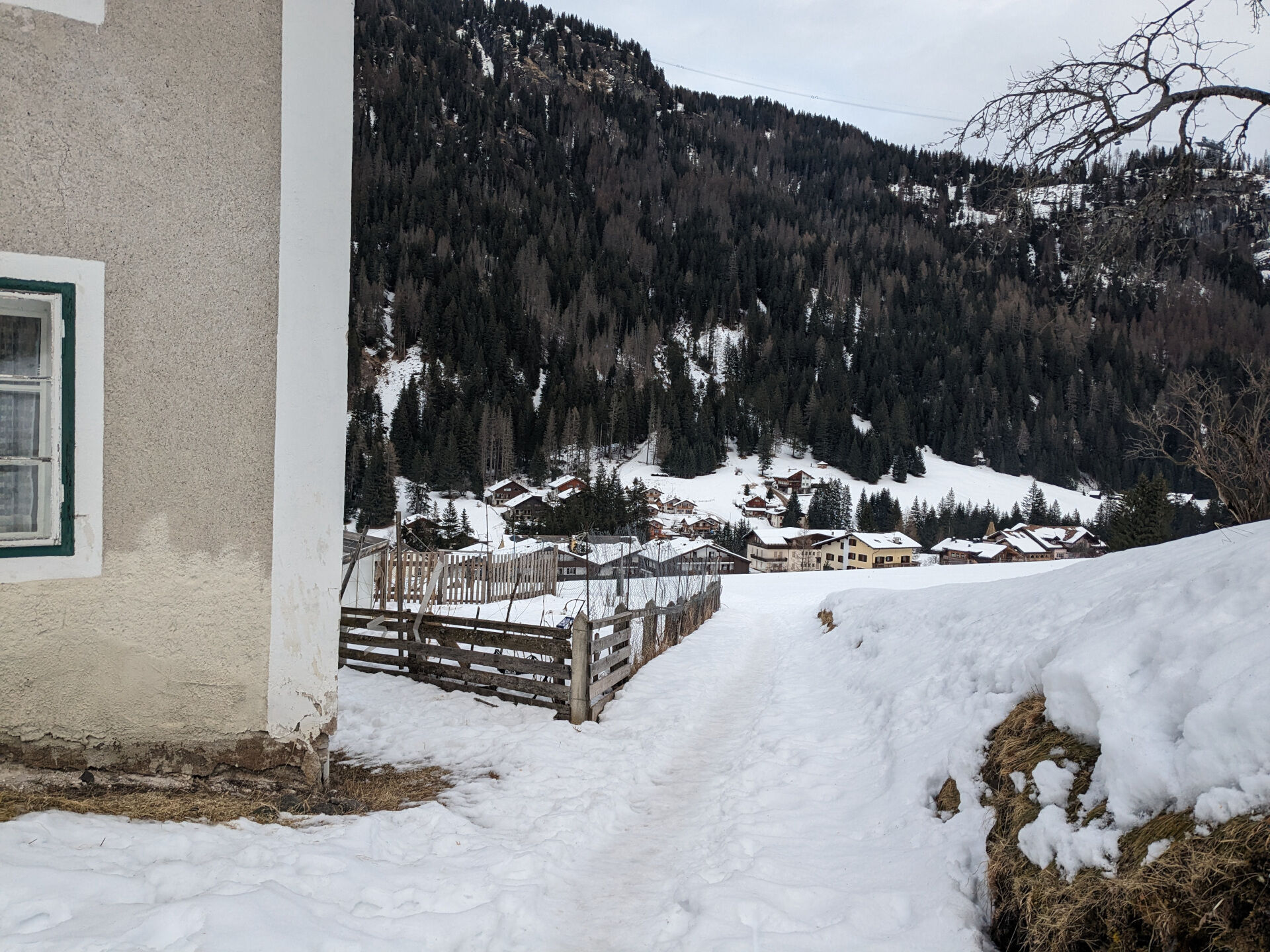
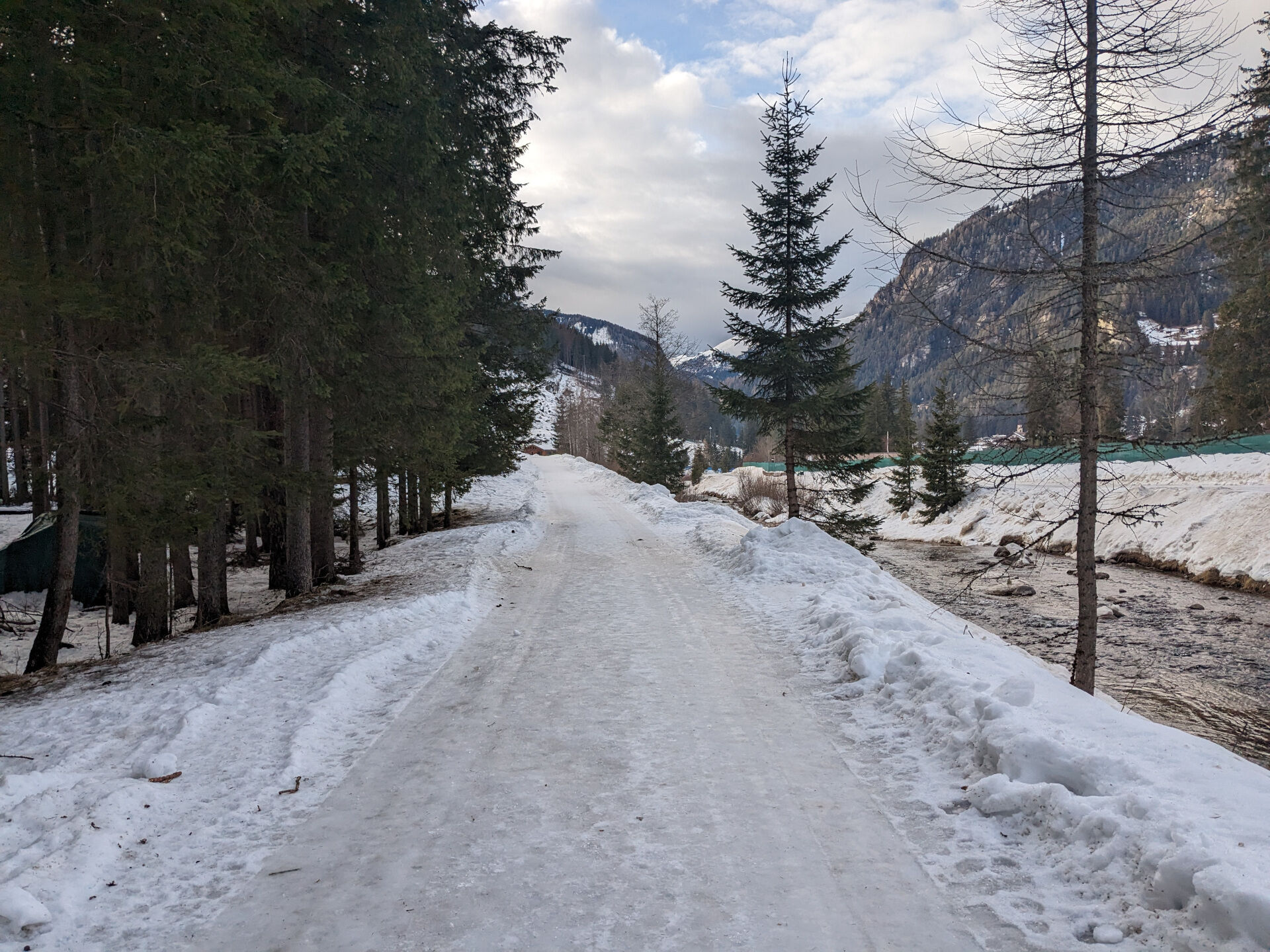
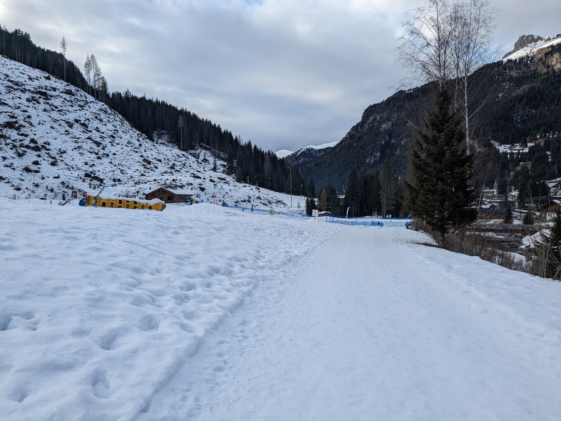
Start from the tourist office in the central square of Canazei and walk down Strèda Roma, passing by the playground. At the crossroads, turn left onto Strèda de Cercenà and continue in the direction of the soccer field. After crossing the bridge over the Avisio, at the fork go up to the left along the "Ciof" forest road. Keep on the higher path, ignoring the detour leading to the Villa Avisio Residence and the ski lift. The slope remains constant for about 1 km. At "Pian de la Mandres," you will notice feeders for forest animals. Continue on the forest road "Poc": after a short flat section, the descent towards Alba begins. When you reach a fork with a fountain and a beautiful crucifix, go left, following the course of the Ruf de Cernadoi. Leave the woods and reach the first houses of Sorapera. Here, take a left, following a short stretch of Strèda del Cuch, then continue on Strèda de Sorapera to the church of Sant'Antonio Abate. When you reach the main road, pass by the small square with the beautiful and artistic covered fountain and follow the sidewalk in a northerly direction. After a short distance, take Strèda Antersief on the left, which leads to the ice stadium. Go around the building, cross the bridge on the right, and continue on Strèda dò Veisc, a quiet, mostly flat asphalt road that runs alongside the Avisio River. Now cross the state road and merge onto the small dirt road opposite, which re-enters the center of Canazei along the right bank of the river.
If you prefer to start from Alba di Canazei, follow the signs for Walk No. 80.
Always be properly equipped (hiking boots, crampons and poles) and carry the necessities for any emergency situations in your backpack, along with a minimum of first aid supplies.
1. Plan the hike in advance based on your ability, weather, route characteristics and conditions, and avalanche risk.
2. Always choose to hike in company. If possible, rely on mountain professionals.
3. Make sure you have appropriate clothing and equipment (hiking boots, crampons and poles) with you.
4. Tell someone itinerary, return time and any variants.
5. Go slowly, enjoy the view and the silence.
6. If you are uncertain about direction, turn back.
7. Don't step on cross-country and downhill trails.
8. Respect your surroundings by taking your waste back to the valley.
9. Bring your animal friend too, but only on a leash.
10. Help those in need. In case of real need and for emergencies call 112.
Main gateways to the valley coming from the A22, Modena-Brenner freeway:
Ora/Egna exit, S.S. 48 delle Dolomiti - Passo San Lugano - Val di Fiemme - Val di Fassa (distance km 45). From the Moena bypass (artisanal area) toward Canazei Bolzano Nord exit, S.S. 241 Grande Strada delle Dolomiti - Passo Carezza - Vigo di Fassa (distance km 40). From Vigo northward towards Canazei, southward towards Soraga di Fassa and MoenaOther accesses to the Fassa Valley:
from the A27 (Venice) highway, exit Belluno/Ponte nelle Alpi, S.S. 203 for Agordo and S.P. 346 Passo San Pellegrino - Moena (Val di Fassa). From the Moena ring road toward Canazei From highway A27 (Venice), exit Belluno/Ponte nelle Alpi, S.S. 203 for Agordo/Alleghe/Rocca Pietore. S.P. 641 Passo Fedaia - Canazei coming from Arabba, S.S. 48 del Passo Pordoi - Canazei from Val Gardena, S.S. 242 Passo Sella - CanazeiTrentino Trasporti - Val di Fassa public transportation lines:
line no. 101 Canazei - Cavalese - Trento line no. 104 Cavalese - Ora - Trento line no. 123 Moena - San Pellegrino Pass - FalcadeSAD public transportation lines - Val di Fassa:
line no. 180 Vigo di Fassa - Carezza Pass - Bolzano- Nearest bus stop (Trentino Trasporti): Canazei > Piaz G. Marconi
- Nearest skibus stop: Canazei > Piaz G. Marconi
Parking lots at the Dòlaondes Aquatic Center.
3
Val di Fassa Tourist Board
Strèda Roma, 36
38032 Canazei (TN)
Tel. 0462 609500
info@fassa.com
www.fassa.com
The marked trails are beaten only by the passage of hikers and do not involve maintenance or mechanical beating. In addition, there are no route-specific markings along the trail.
We recommend always paying close attention to the bottom, which may have icy or slippery sections, particularly in shaded areas.
No refreshment points along the route.

Spletne kamere s turneje
Col dei Rossi
Val Gardena - Citta dei Sassi
Pordoi - Pass
Canazei - Col dei Rossi
Canazei - Col dei Rossi
Canazei - Col dei Rossi
Canazei - Col Rodella
Canazei - Col dei Rossi
Canazei - Col dei Rossi
Canazei - Col dei Rossi
Canazei - Col dei Rossi
Canazei - Col dei Rossi
Canazei - Ciampac
Canazei - Ciampac
Canazei - Ciampac
Canazei - Ciampac
Pordoi - Pass
Canazei - Col dei Rossi
Canazei - Col dei Rossi
Canazei - Col dei Rossi
Canazei - Col dei Rossi
Canazei - Col dei Rossi
Passo Sella - Hotel Maria Flora
Passo Sella - Hotel Maria Flora
Passo Sella - Hotel Maria Flora
Passo Sella - Hotel Maria Flora
Passo Sella - Hotel Maria Flora
Passo Sella - Hotel Maria Flora
Passo Sella - Hotel Maria Flora
Passo Sella - Hotel Maria Flora
Passo Sella - Hotel Maria Flora
Passo Sella - Hotel Maria Flora
Passo Sella - Hotel Maria Flora
Sass Pordoi - Altopiano del Boe
Sass Pordoi - Altopiano del Boe
Sass Pordoi - Altopiano del Boe
Sass Pordoi - Altopiano del Boe
Sass Pordoi - Altopiano del Boe
Sass Pordoi - Altopiano del Boe
Sass Pordoi - Altopiano del Boe

Priljubljeni izleti v okolici
- 4.1
Der Friedrich-August-Weg
srednjaPohodništvo 10.4 km - 4.8
Pordoi Pass - Sass Pordoi - Forcella Pordoi - Piz Boè - Boè Refuge - Forcella Pordoi - Pordoi Pass
težkoPohodništvo 8.39 km - 5.0
Langkofel Klettersteig/Ferrata Furcela de Saslonch
težkoVia ferrata 7.07 km - 5.0
Um den Langkofel
srednjaPohodništvo 9.76 km - 4.9
Lang- und Plattkofel Umrundung
srednjaPohodništvo 17.5 km - 4.8
Santnerpass Klettersteig
srednjaVia ferrata 8.29 km - 4.8
Langkofel-Umrundung
srednjaPohodništvo 12.9 km - 4.8
Pisciadùsteig Sella Gruppe
srednjaVia ferrata 7.15 km - 4.4
Viel dal pan
svetlobaPohodništvo 6.60 km - 4.5
Dolomiten Sellagruppe, Alb. Col di Lana, Sas de Pordoi, Piz Boé retour 22.06.2016
srednjaPohodništvo 5 km
Pohodništvo in sledenje


Ne zamudite ponudb in navdiha za naslednje počitnice
Vaš e-poštni naslov je bil dodan na poštni seznam.





