






From Lago Santo to Roccolo del Sauch

Stopnja težavnosti: 2
Hike in the woods towards the "Roccolo del Sauch", an ancient bird catching system but also a fascinating and ingenious plant labyrinth.

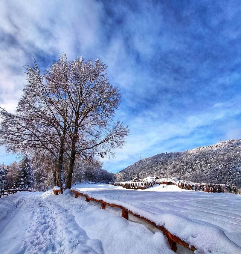
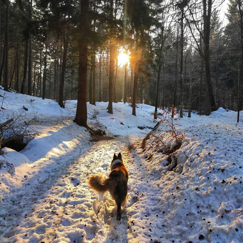
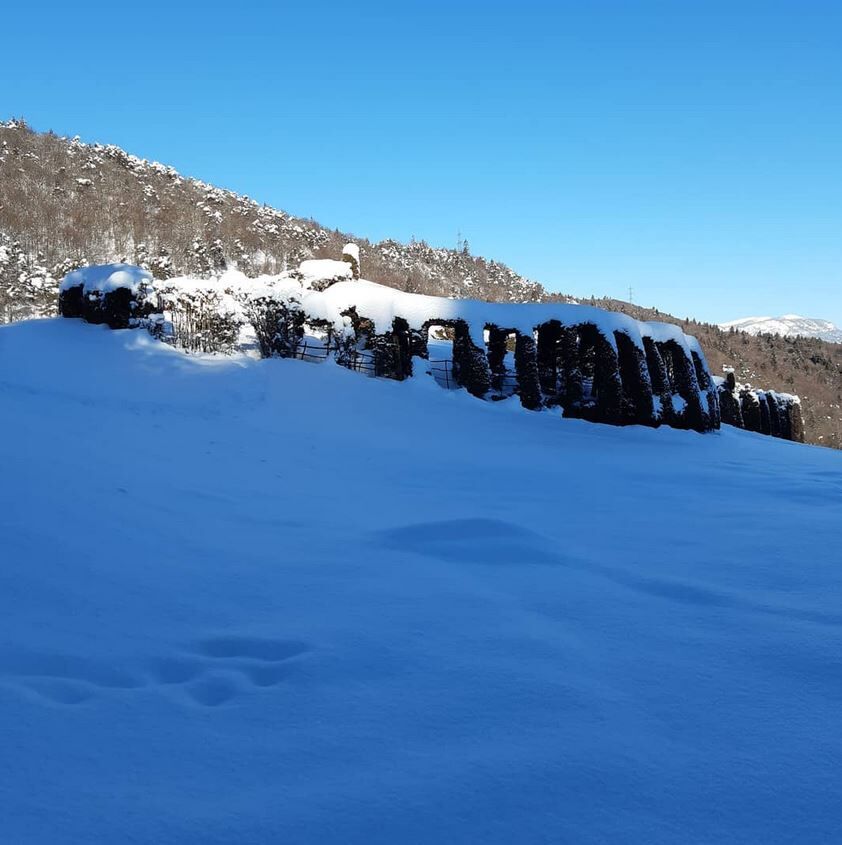
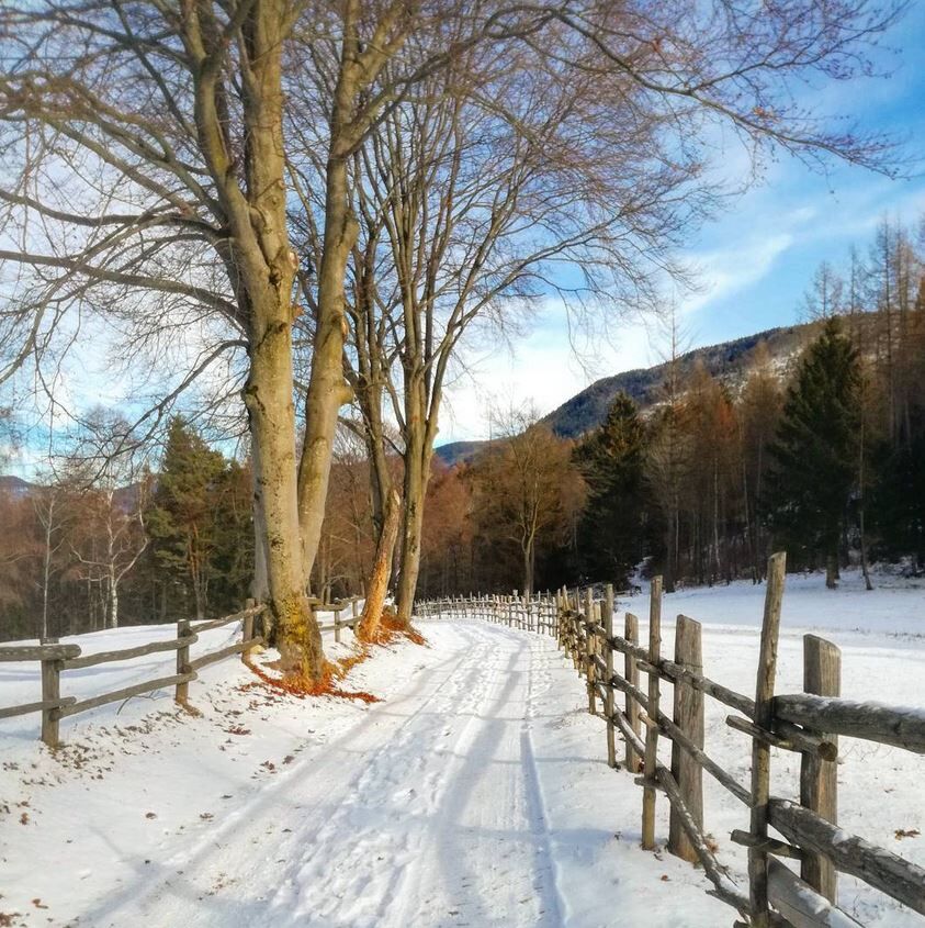

Just before the Lago Santo Hut, take the path signposted “Roccolo Sauch”. Continue down the path to the junction with the forest road. Turn right and continue on the latter. We suggest a stop to read the descriptions on the information board about the "Riserva naturale Lagabrun", which is not far from our walk.
At Pozze, choose the left-hand fork and continue on the pleasant road. Once you reach "Passo della Croccola", your destination is near and in five minutes you will reach Roccolo del Sauch. It is worth getting closer to observe the details, aided by the well-made illustrative panels.
The way back starts on the main street near the "Giardino delle erbe", a garden with medicinal herbs, and continue towards east. Following the forest road, after 1,5 Km you return to the hamlet of Pozze and from there to the starting point, following the outward route.
Da
Hinking shoes, hiking poles and warm winter clothes.
Experience walking along irregular mountain trails is recommended. It may happen that the path is not clear form snow. In the event of fresh snow, microspikes are recommended. Be careful of ice when temperatures are particularly low.
Please note that the practicability of the itineraries in a mountain environment is strictly linked to the contingent conditions and is therefore influenced by natural phenomena, environmental changes and weather conditions. For this reason, the information contained in this page may have changed. Before leaving for a tour, make sure the path you will approach is still accessible by contacting the owner of the mountain hut, the alpine guides or the visitor centres of the nature parks, the info offices of the local tourist board.
From the A22 Brenner motorway, both from the south and from the north, take the Trento Nord exit, drive along the Brenner S.S. 12 northwards untill Lavis junction, to then pass on the S.S. 612 Lavis - Castello di Fiemme, which leads to the Cembra Valley and to the town of Cembra. Just before entering the center of Cembra, follow the signs for Lake Santo on the left.
From the Trento bus station, take line B102 towards Cavalese and get off at Cembra. From here there is no public transport that connects Cembra with Santo Lake, that has to be reached with own means of transport or walking.
It is possible to park in the free parking lot near the Santo Lake.
2
Ufficio Turistico Cembra - Tel. +39 0461 683110 - info@visitvaldicembra.it – www.visitvaldicembra.it
The illustrative panels are useful to understand the use of this interesting system.
ATTENTION: Before starting the route, check the snow conditions with our offices. Tel. +39 0461 683110 - info@visitvaldicembra.it
Priljubljeni izleti v okolici
- 4.7
Burrone Klettersteig (B)
Via ferrata 4.30 km - 3.6
Rio Secco (D)
Via ferrata 2.42 km - 4.2
Tramin - Lochweg nach Graun
svetlobaPohodništvo 9.59 km - 4.8
Klettersteig Val del Ri
srednjaVia ferrata 4 km - 4.0
Prati di Prada and the Lakes of Lamar
svetlobaPohodništvo 8.05 km Malga Monte Corno
srednjaPohodništvo 10.3 km- 3.7
Rund um den Castelfelder
svetlobaPohodništvo 6.68 km - 4.3
Baselga di Piné - Marini - Ricaldo - Serraia
svetlobaPohodništvo 9.34 km - 4.3
Klettersteig Fennberg
svetlobaVisokogorska tura 11.6 km - 5.0
Von Fangart nach Margreid
svetlobaMountainbike 60.8 km
Pohodništvo in sledenje


Ne zamudite ponudb in navdiha za naslednje počitnice
Vaš e-poštni naslov je bil dodan na poštni seznam.





