







From Maso Spianez to Varena
Stopnja težavnosti: 1
It is ideal when you don't want to move too far from the villages of Cavalese, Varena and Tesero. The route is completely in the sun and offers an enchanting view of the villages of the lower Val di Fiemme...
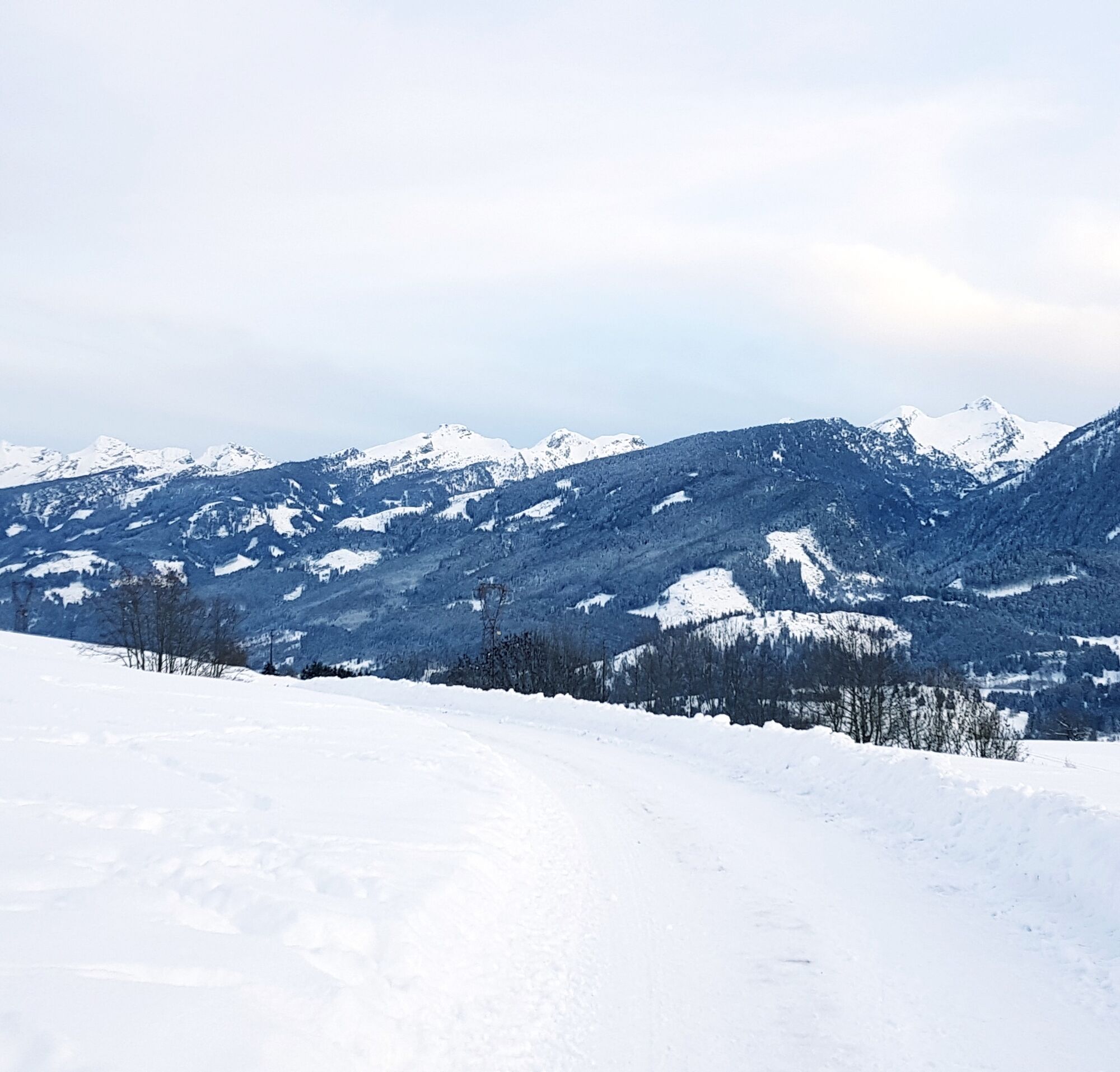
It is ideal when you don't want to move too far from the villages of Cavalese, Varena and Tesero. The route is completely in the sun and offers an enchanting view of the villages of the lower Val di Fiemme and most of the peaks of the Lagorai chain. In the distance, to the east you can see the Brenta Dolomites massif.

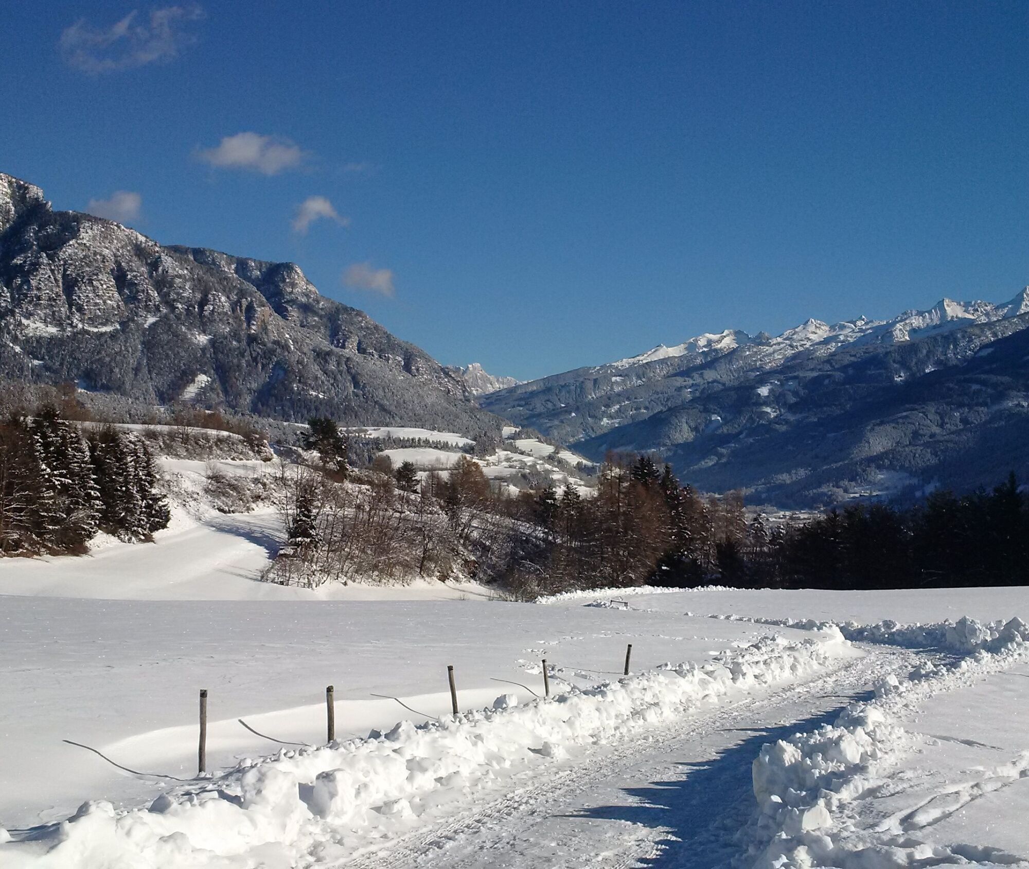
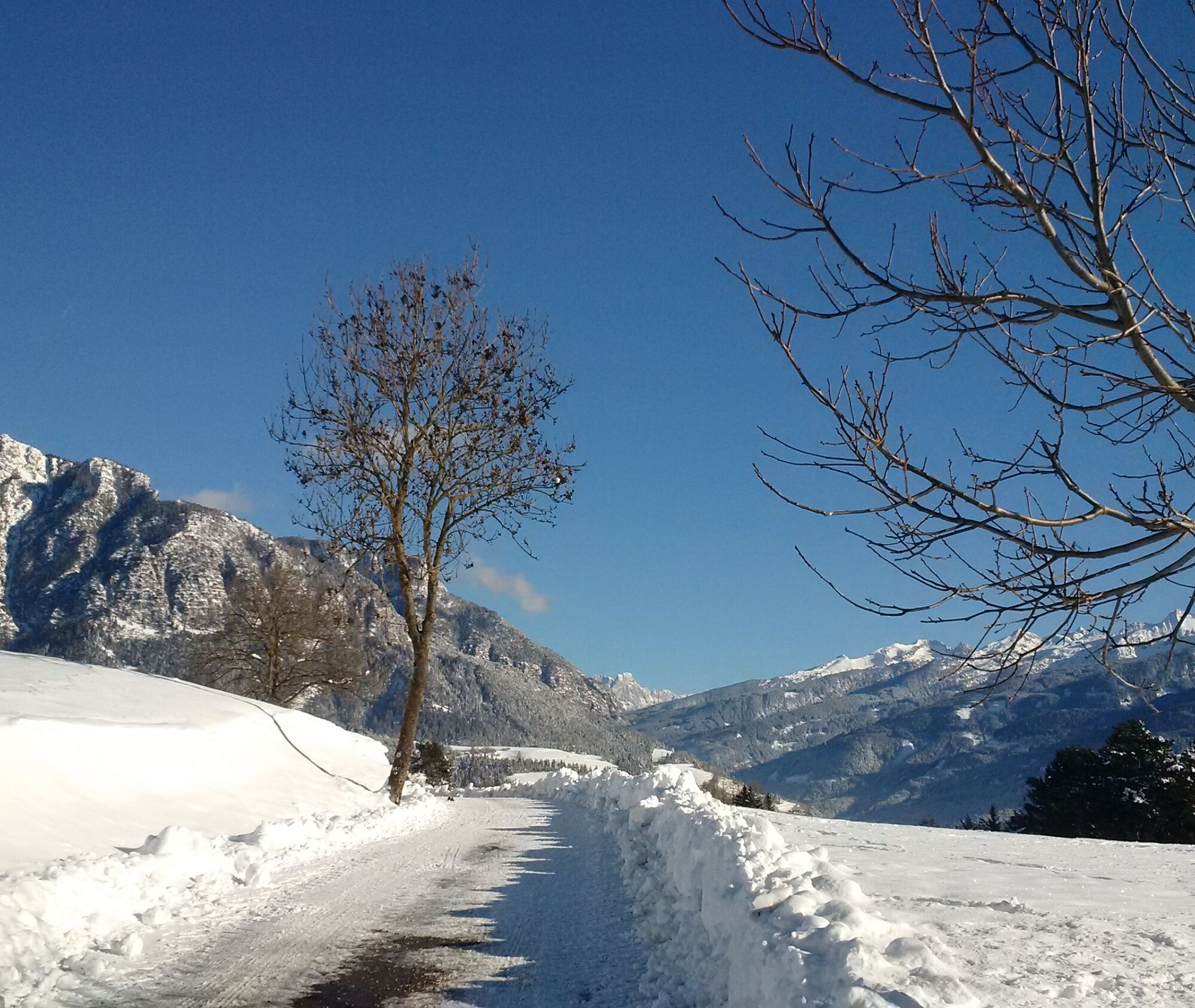
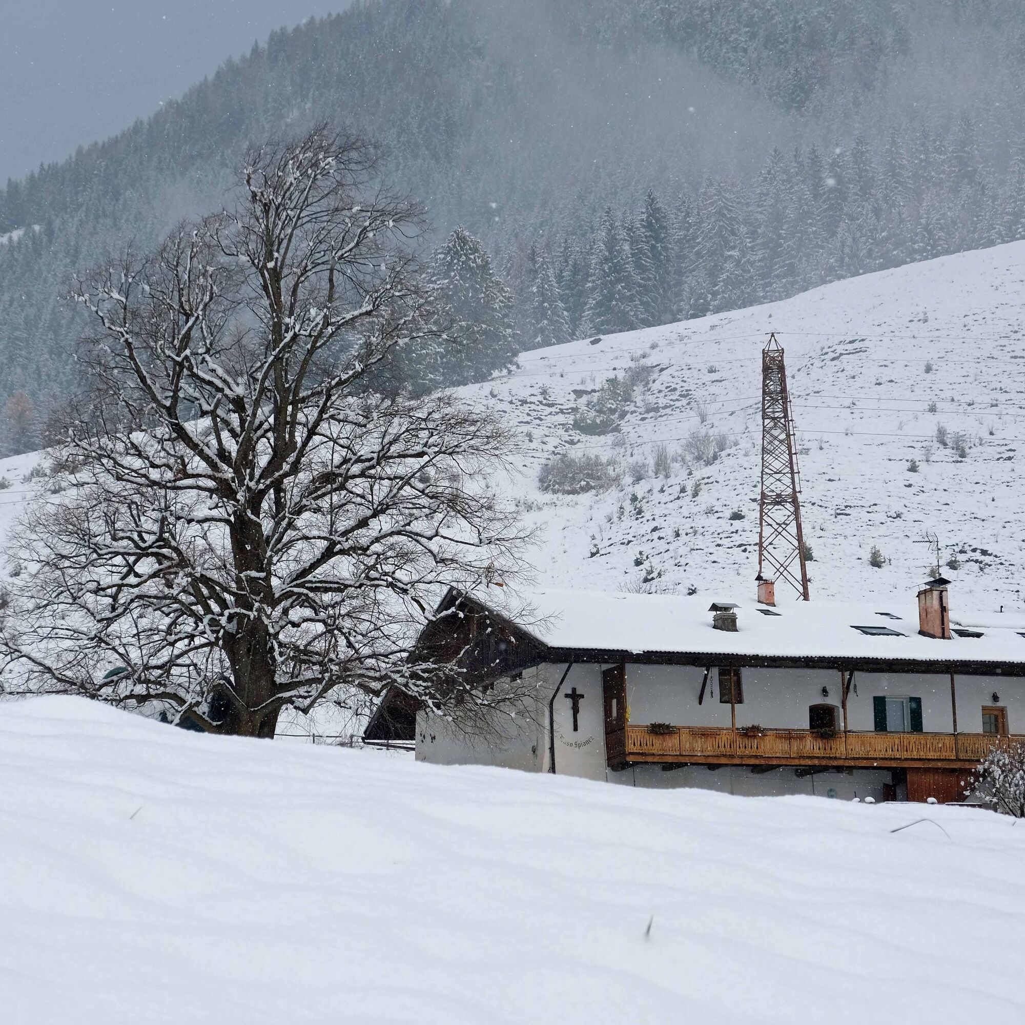

From the power station (car park) in Piera, take the dirt road that runs alongside the power station fence and continue until you reach the asphalt road. Go right uphill until you reach the first houses where the road becomes flat. Continue left on the asphalt road until you reach the tennis courts. From here turn left into Via Borgonuovo, which leads downhill to another fork. Turn left until you reach the dirt road that leads back to the starting point.
Da
Hiking shoes, hiking poles and warm winter clothes.
Experience walking along irregular mountain trails is recommended. It may happen that the path is not clear form snow. In the event of fresh snow, microspikes are recommended. Be careful of ice when temperatures are particularly low.
Please note that the practicability of the itineraries in a mountain environment is strictly linked to the contingent conditions and is therefore influenced by natural phenomena, environmental changes and weather conditions. For this reason, the information contained in this page may have changed. Before leaving for a tour, make sure the path you will approach is still accessible by contacting the owner of the mountain hut, the alpine guides or the visitor centres of the nature parks, the info offices of the local tourist board.
On the road between Cavalese and Tesero, at the Agricamping Perlaie, take the road to the campsite and continue to the small square in front of the power station.
Small parking at the electric power station.
1
APT Val di Fiemme - Tel. +39 0462 241111 - info@visitfiemme.it - www.visitfiemme.it
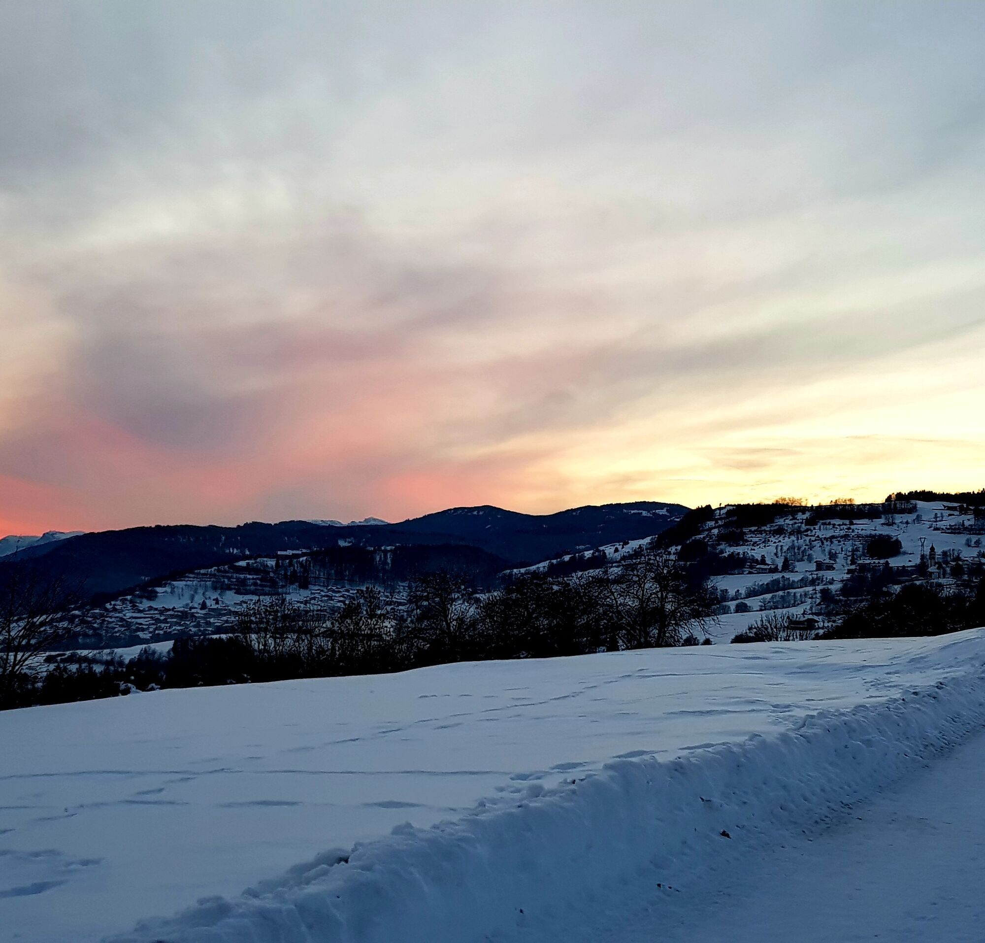
Walking on this track at sunset allows you to see the peaks of the Lagorai light up in pink.
Pridobite vpogled Vedno v živo na mestu z več kot 9.500 spletnimi kamerami. bergfex Kot uporabnik Pro si lahko zdaj ogledate ustrezne spletne kamere za številne izlete v aplikaciji izleti iz. Tako si lahko neposredno ogledate trenutne razmere. Priljubljeni izleti v okolici
- 4.8
Torre di Pisa mountain hut
srednjaPohodništvo 9.09 km - 4.8
Malga Cislon
srednjaPohodništvo 9.37 km - 5.0
Latemar Umrundung - die Kurze und Bequeme
srednjaPohodništvo 12.1 km - 4.8
Tour of Monte Cornon
srednjaPohodništvo 7.65 km - 4.8
Latemar Tour - Tour 930
srednjaMountainbike 37.4 km - 4.8
Latemar Panorama
srednjaPohodništvo 11.7 km - 4.2
The three lakes
srednjaPohodništvo 11.1 km - 4.7
Weißhorn
srednjaPohodništvo 6.64 km - 2.8
Wanderung zur Latemarhütte
srednjaPohodništvo 7 km - 4.8
Latemar.Panorama
svetlobaTematska pot 7.83 km
Pohodništvo in sledenje


Ne zamudite ponudb in navdiha za naslednje počitnice
Vaš e-poštni naslov je bil dodan na poštni seznam.





