







Dolomiti Trek King The Original
Stopnja težavnosti: T2
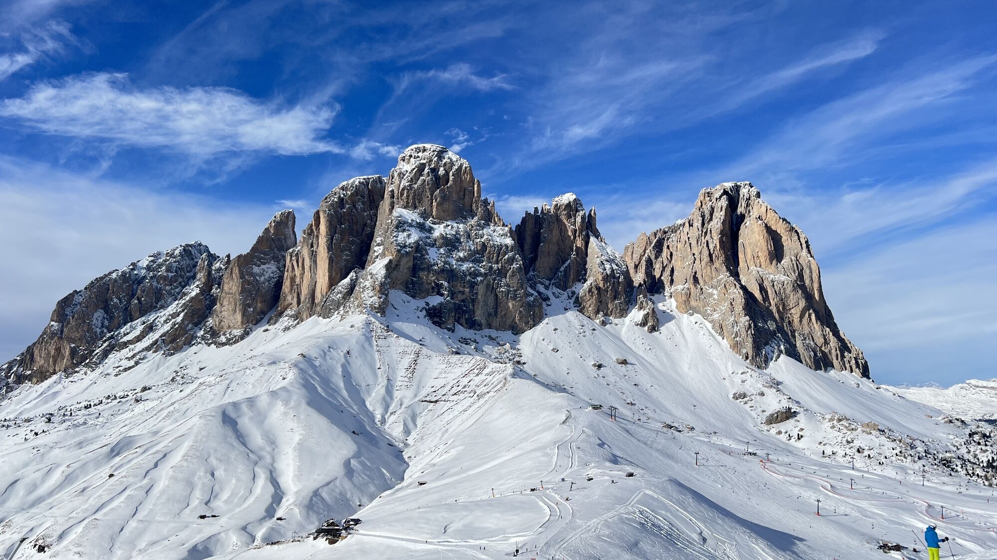
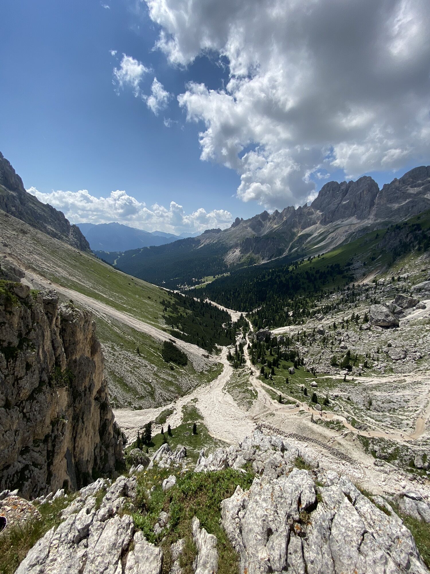
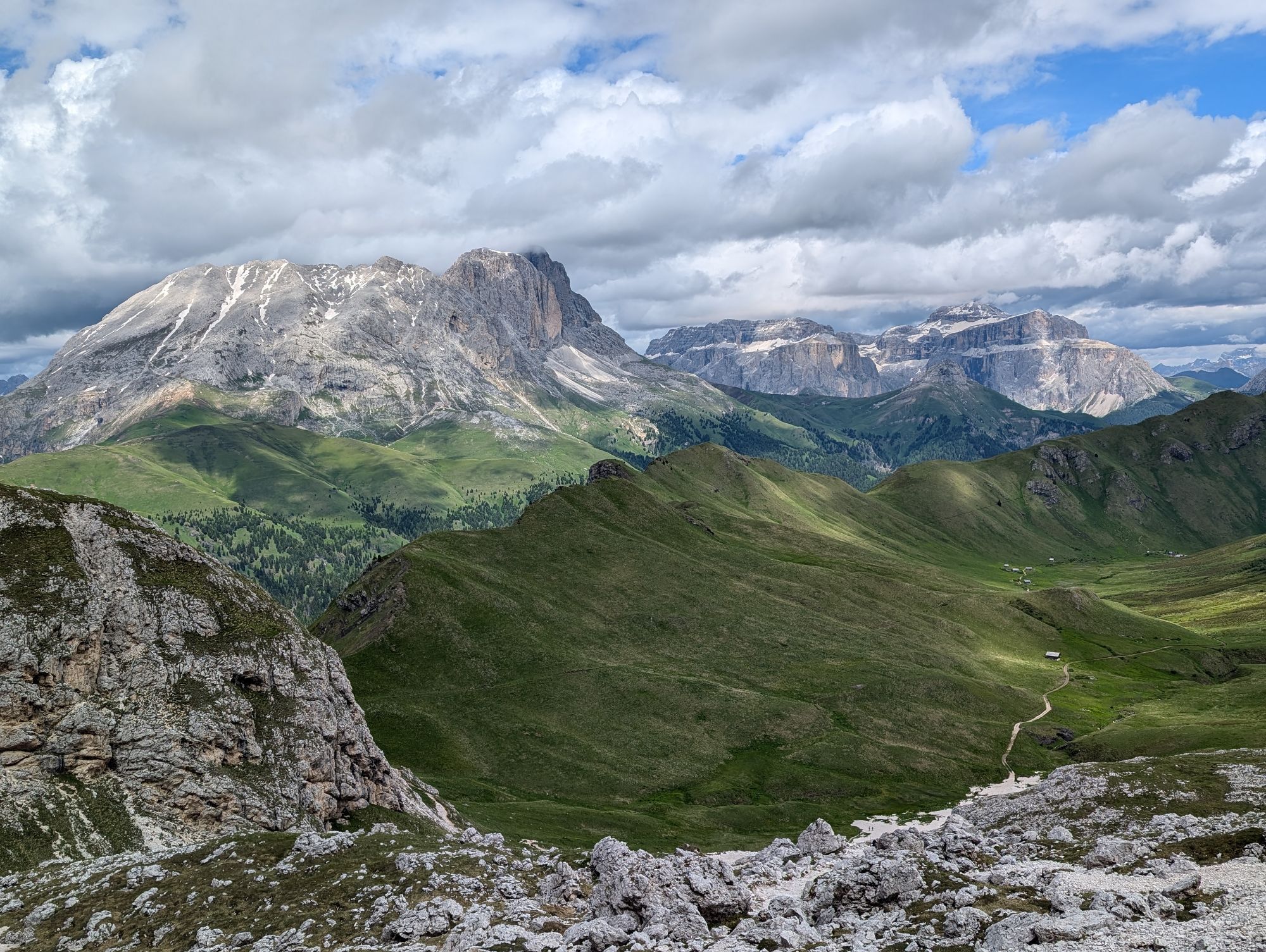
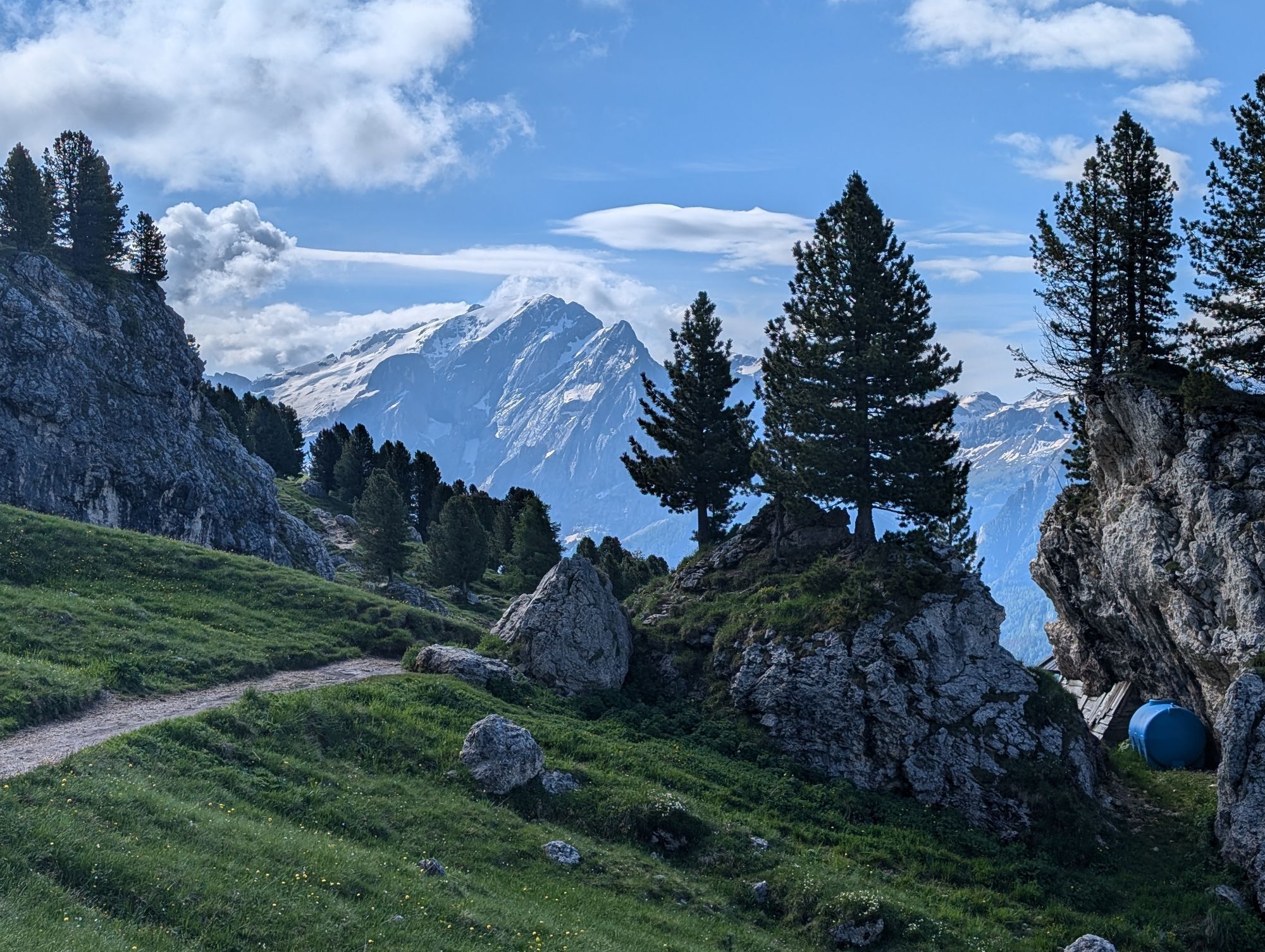
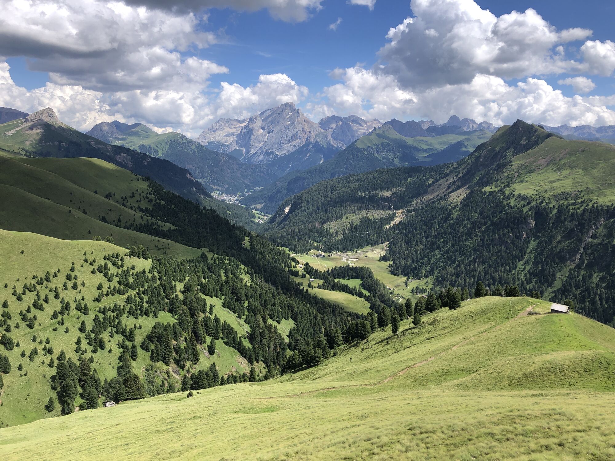
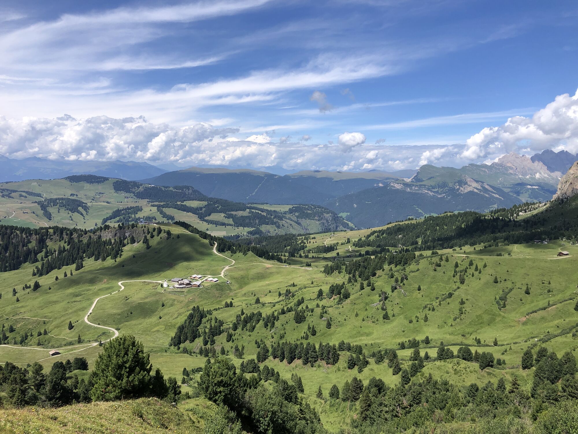
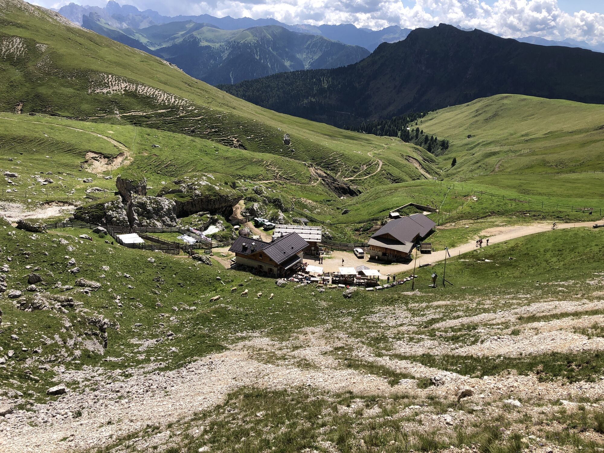
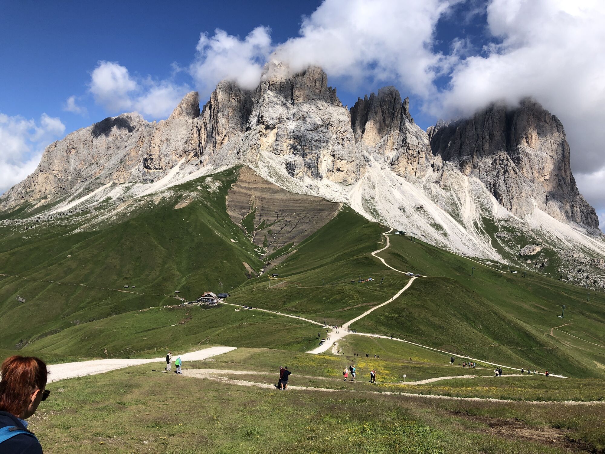
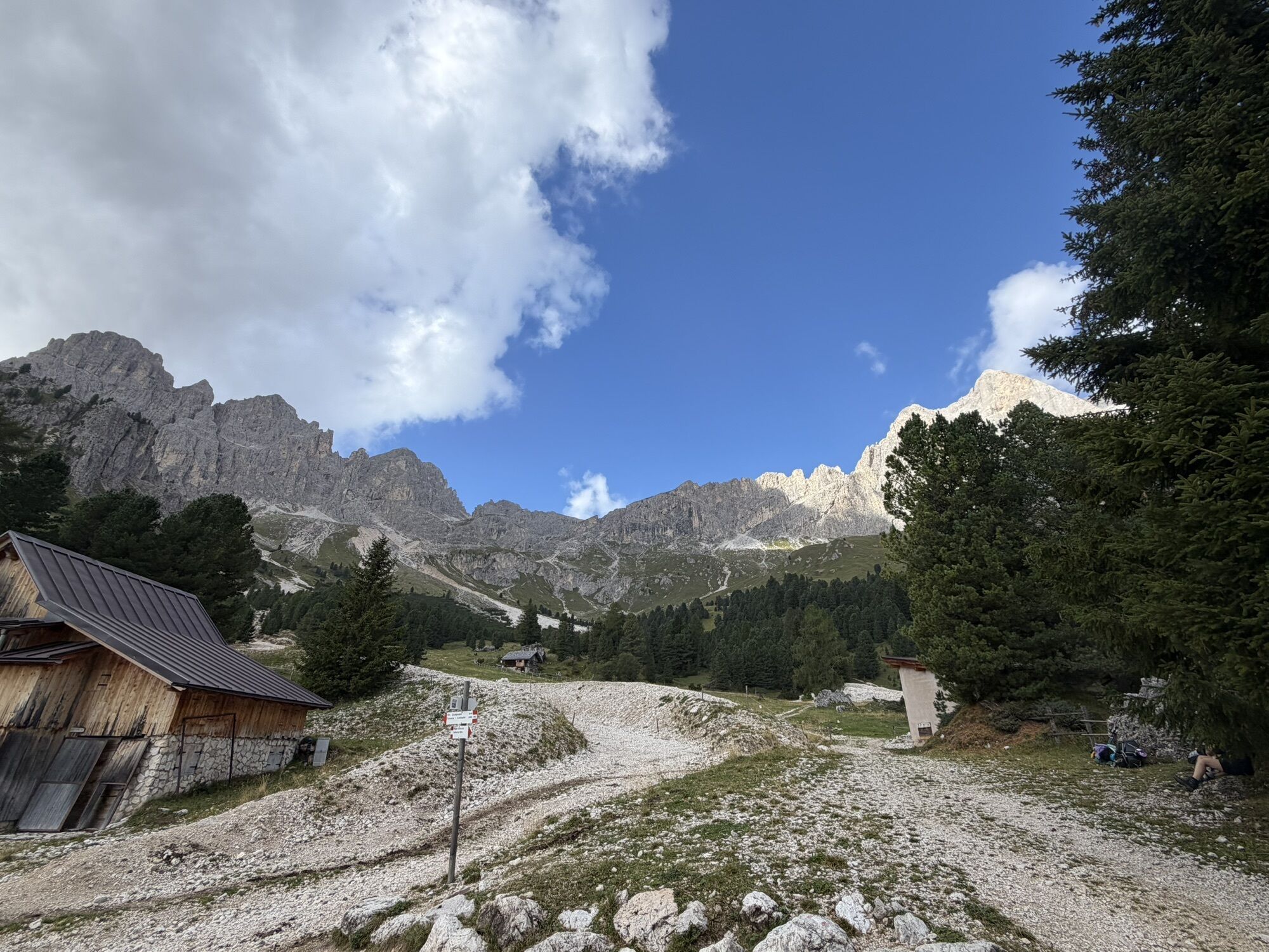
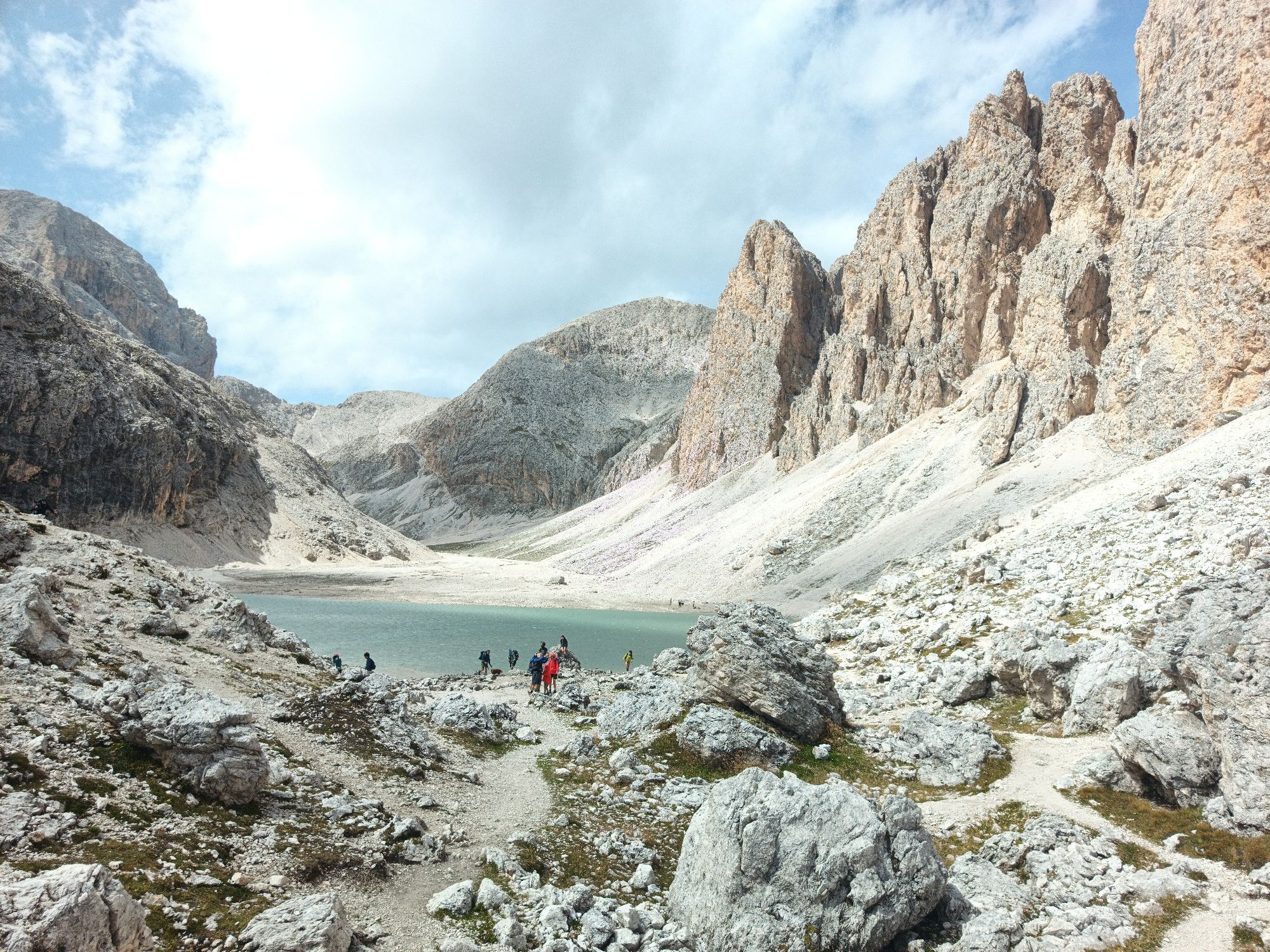
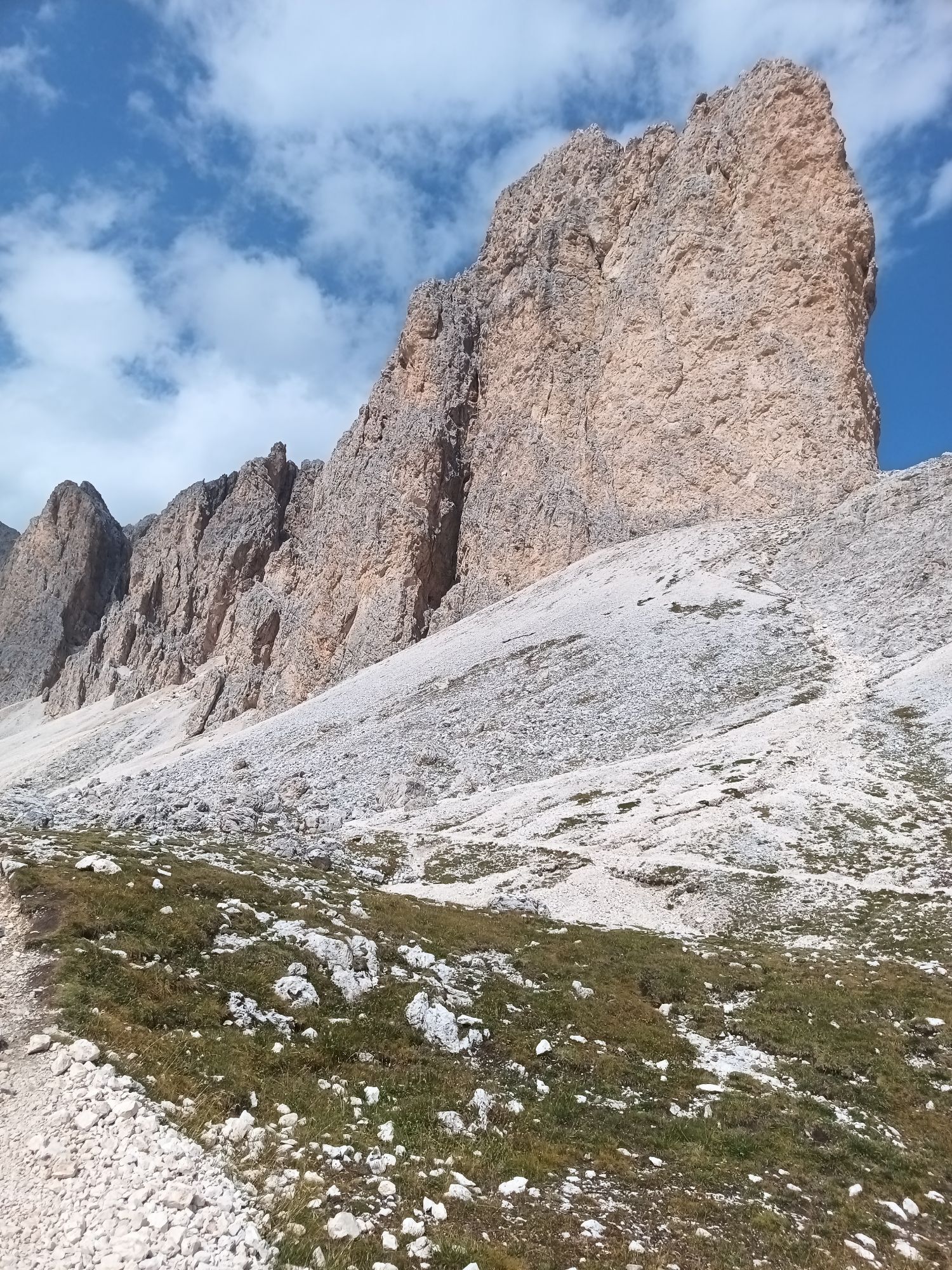
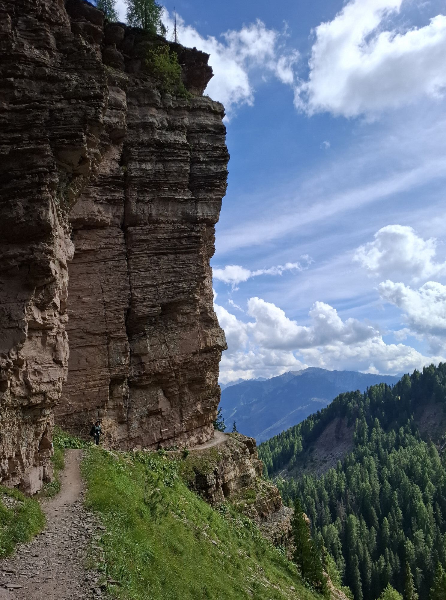
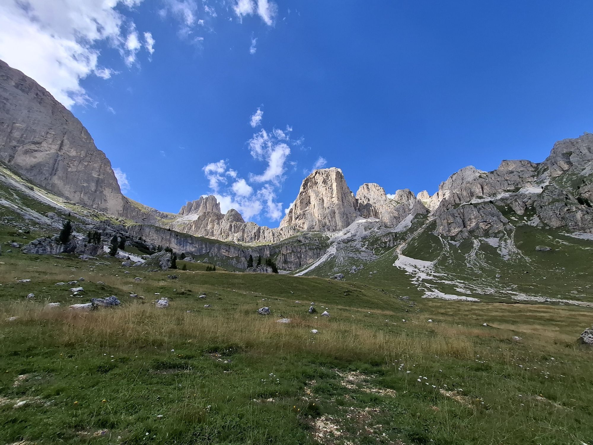
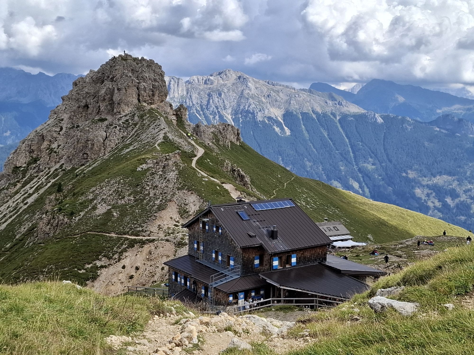
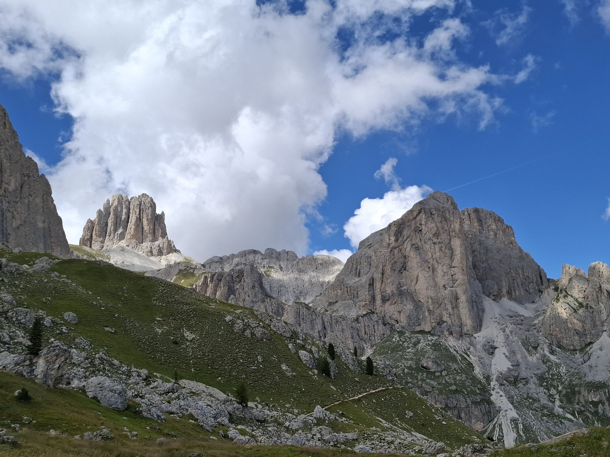
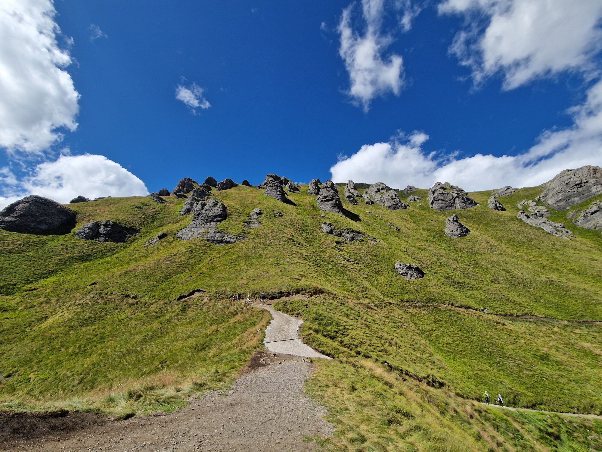
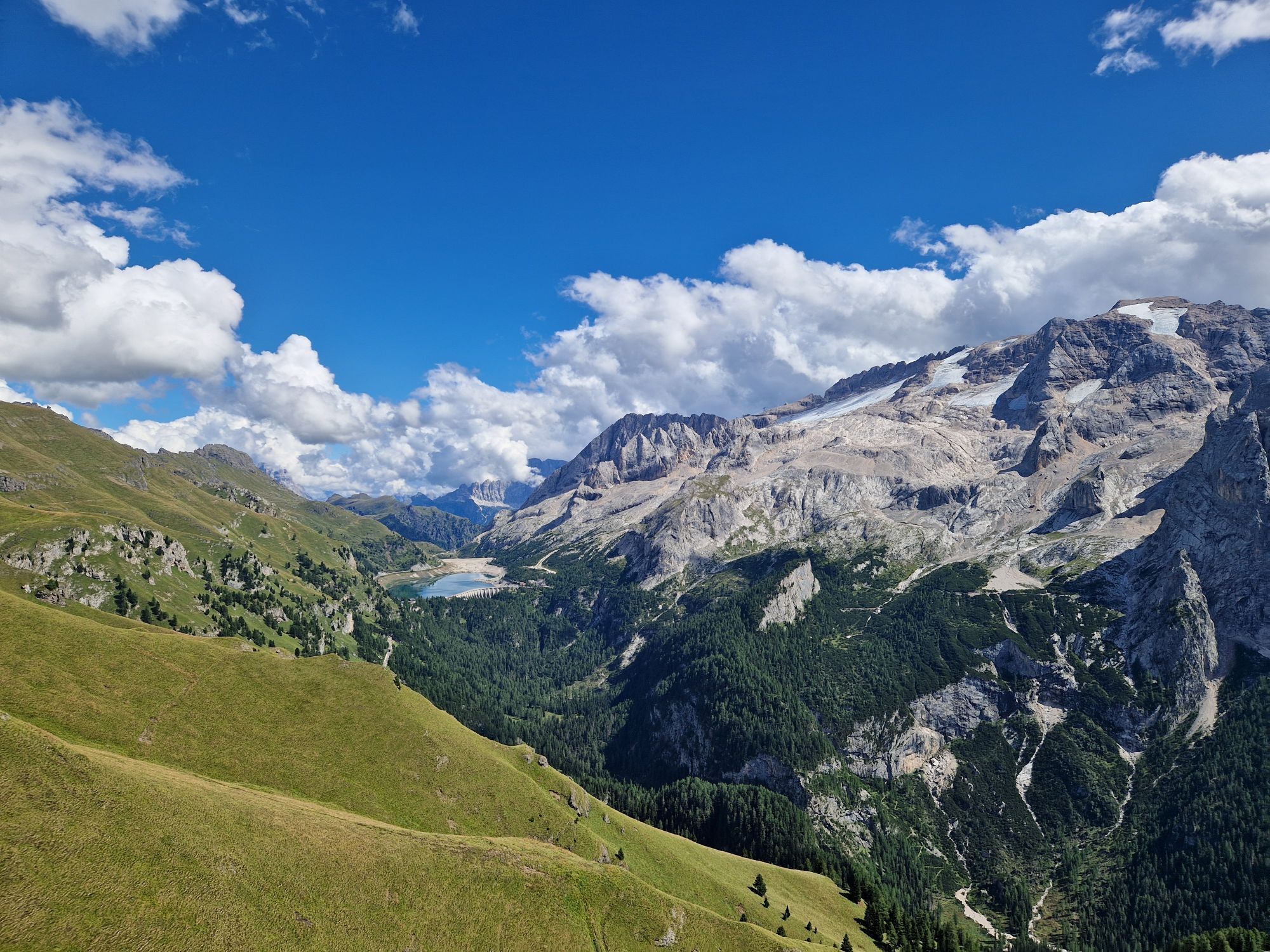
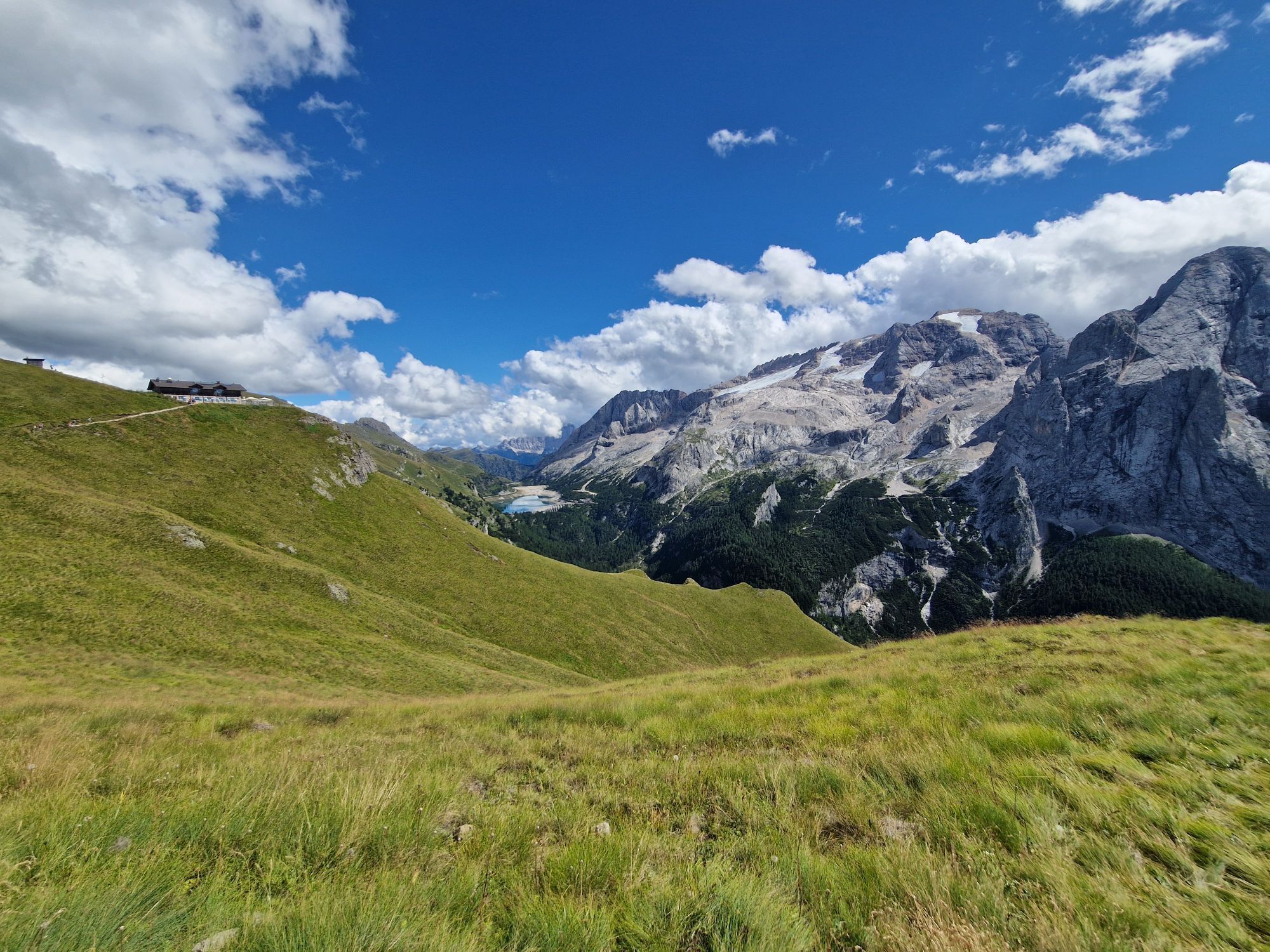
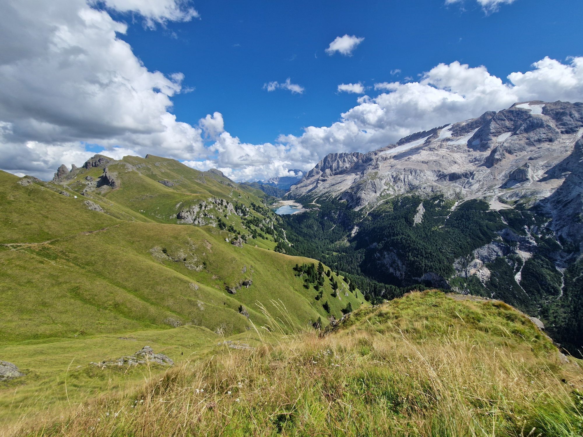
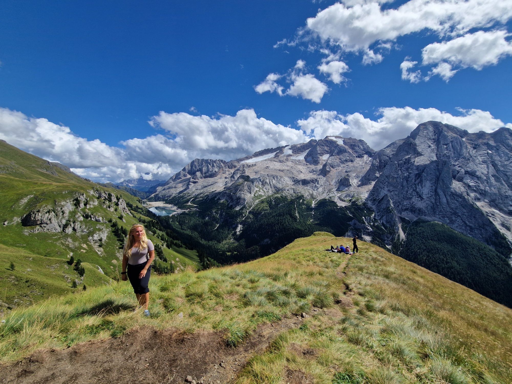
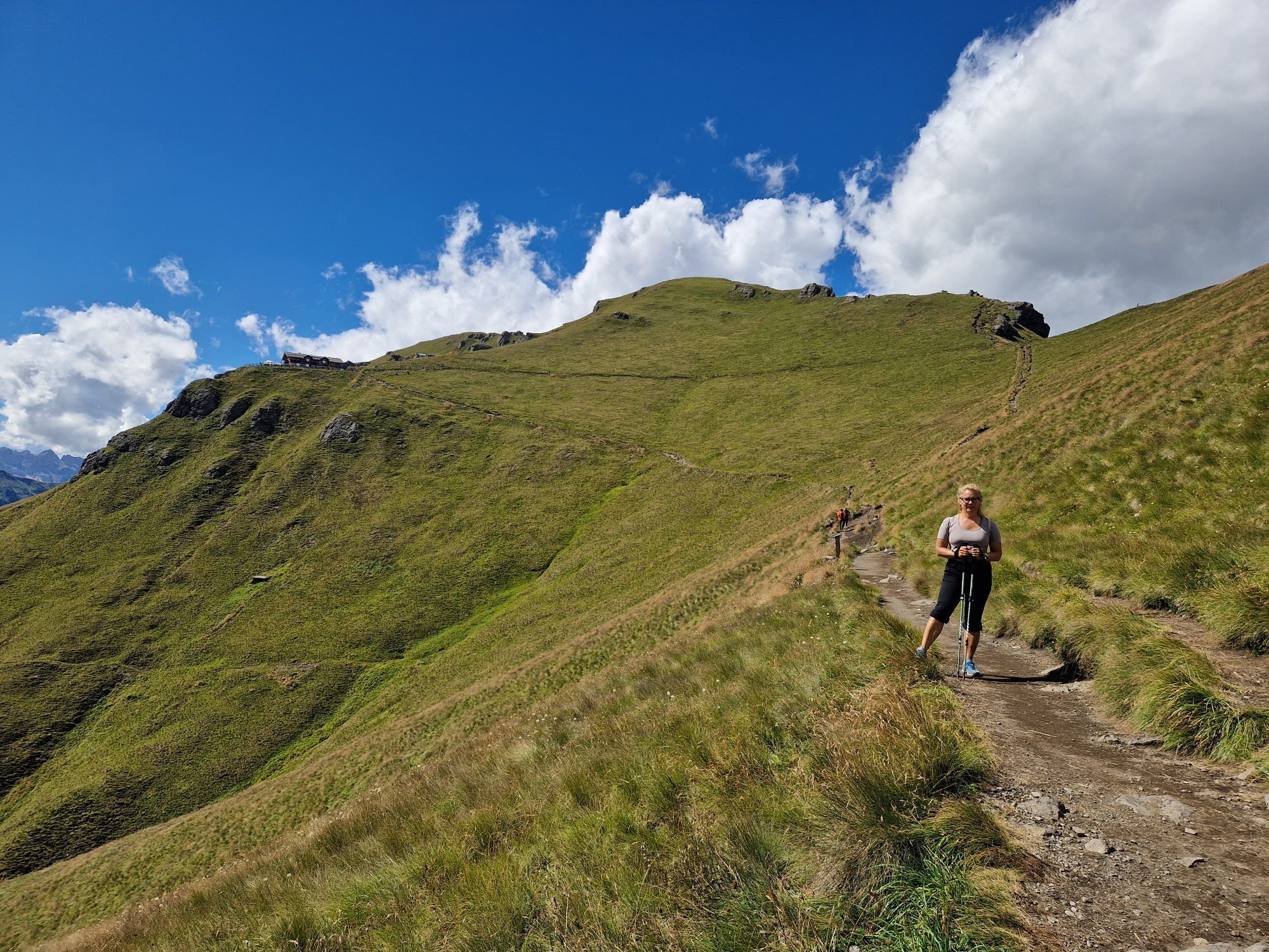
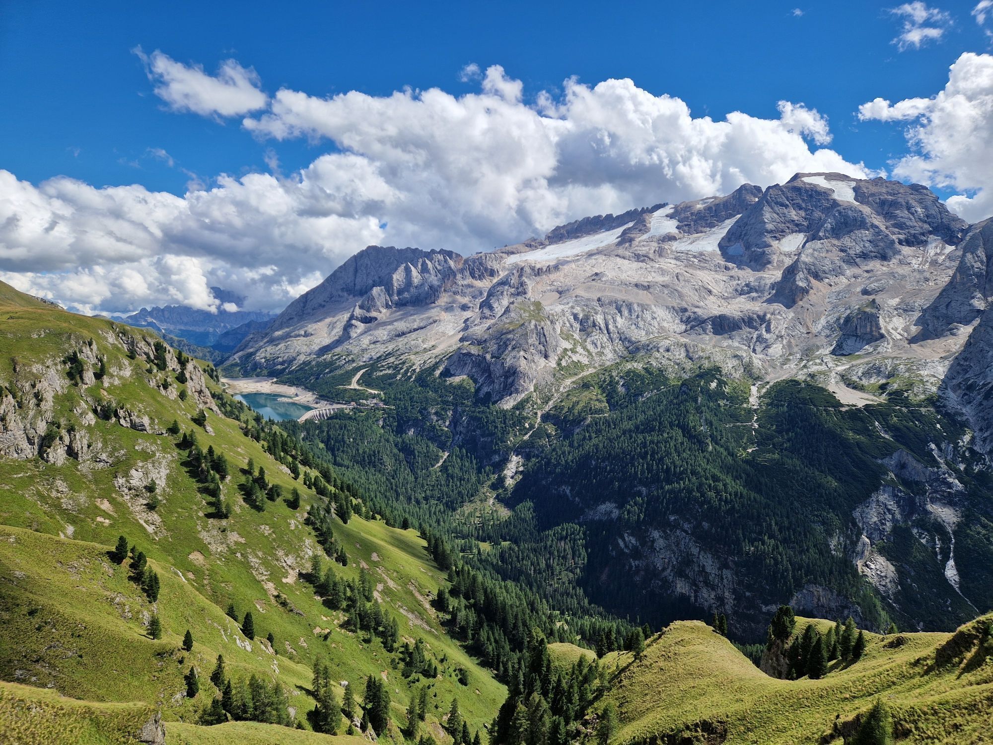
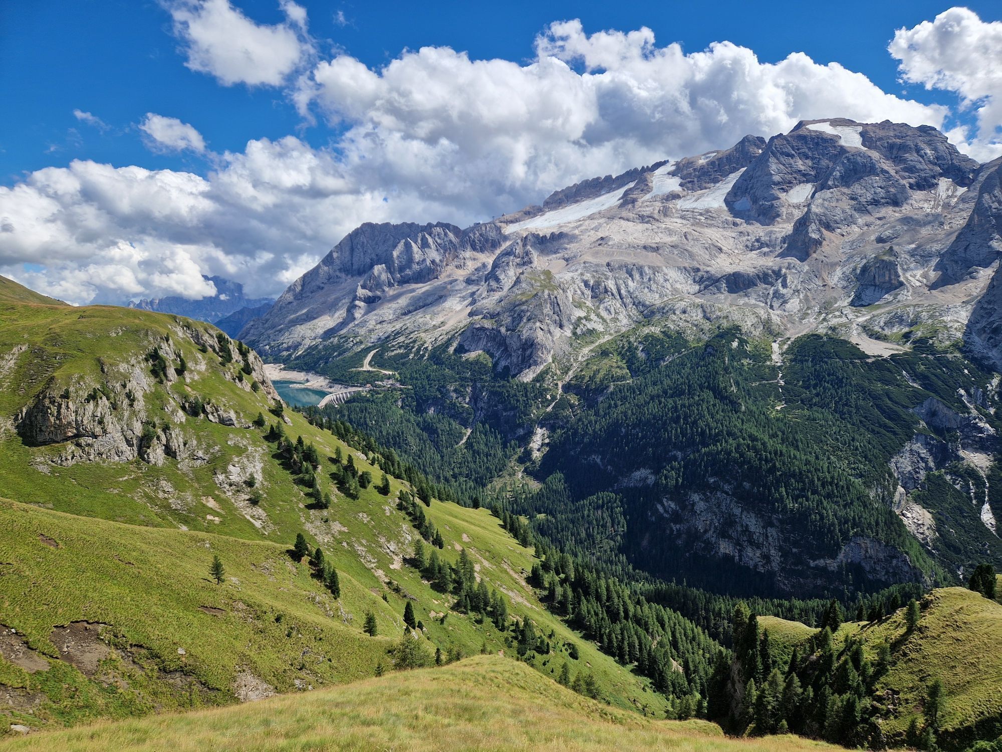
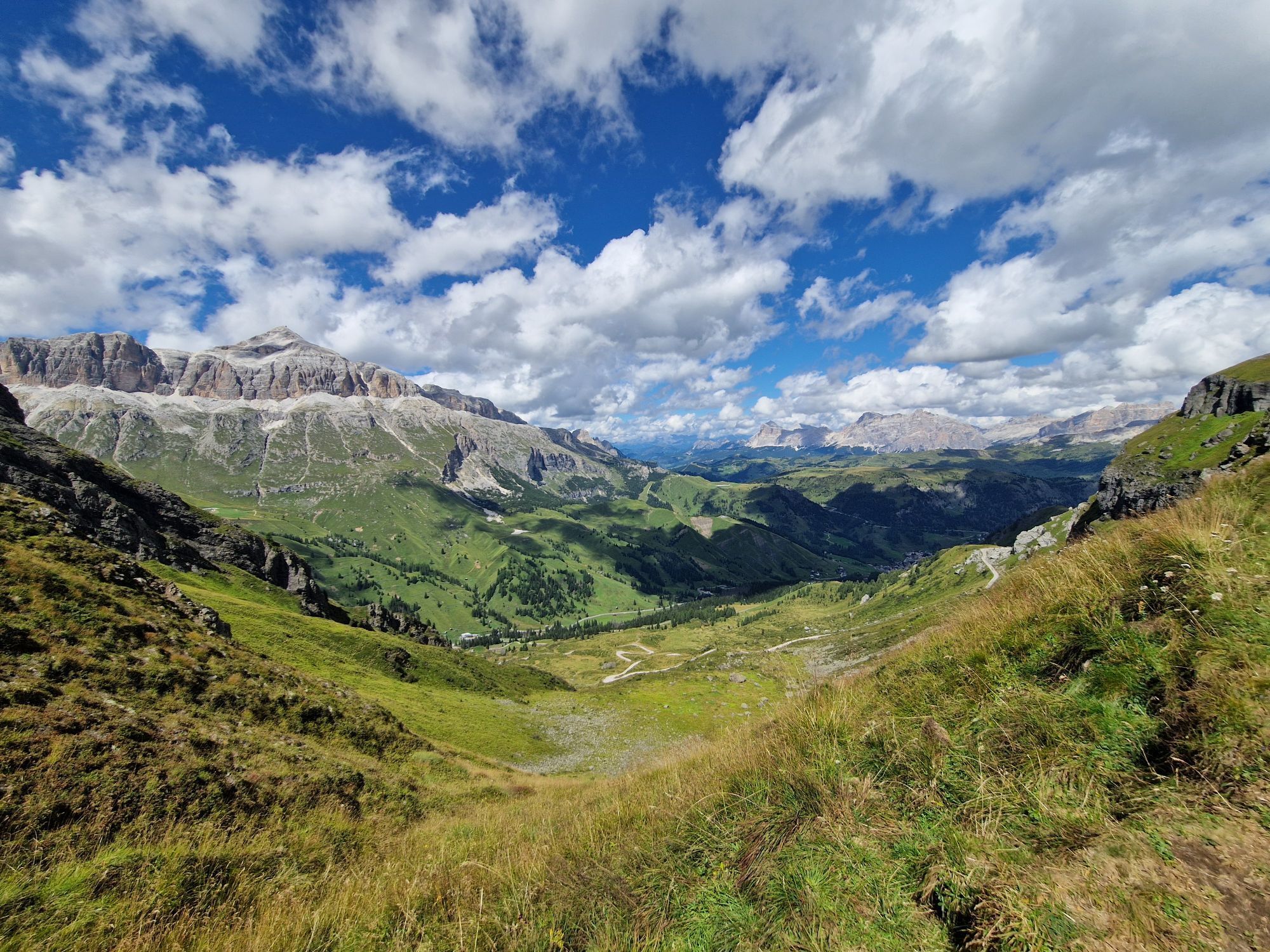
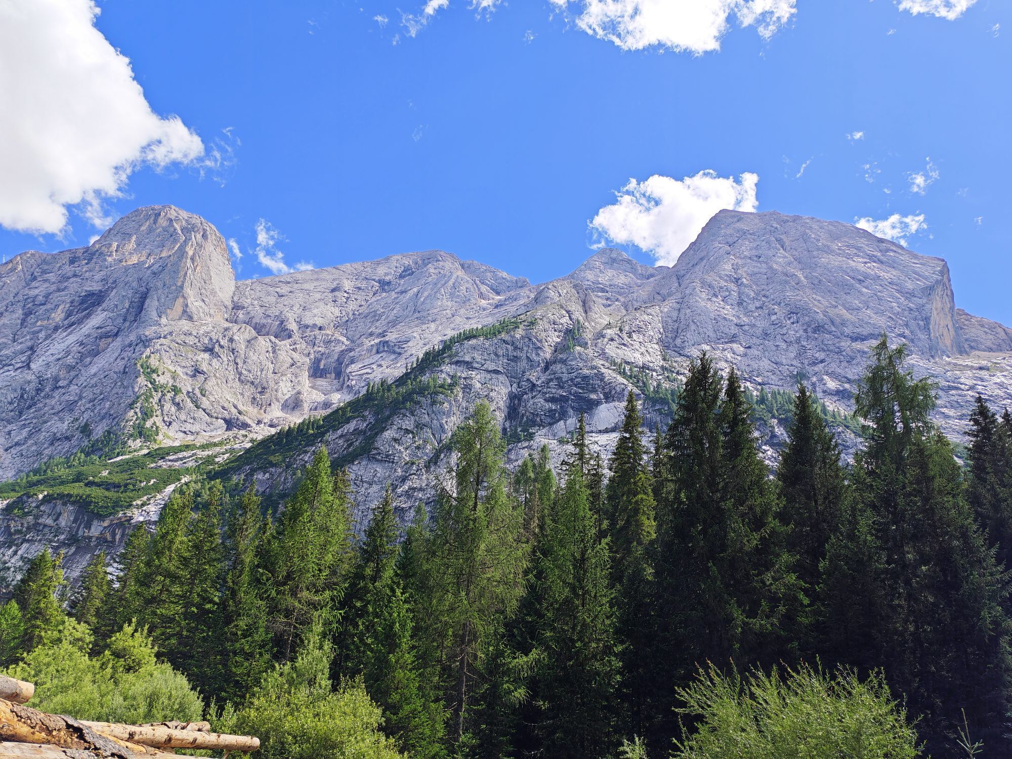
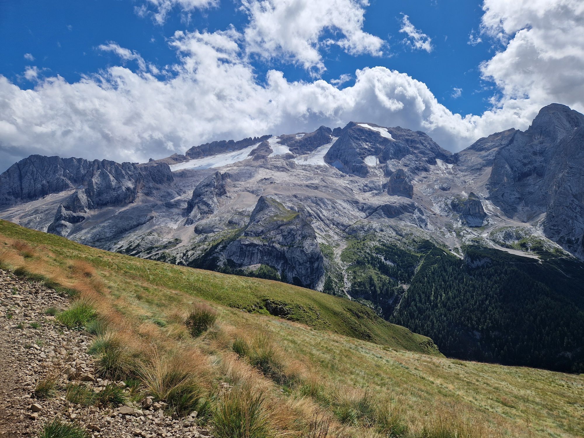
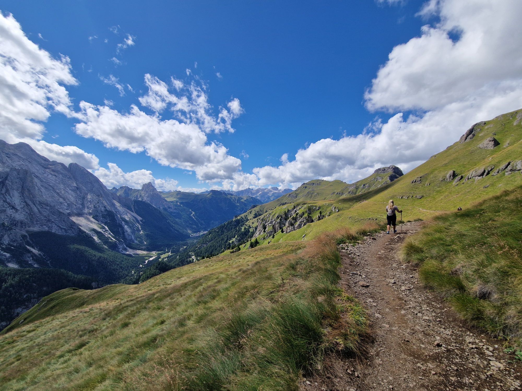
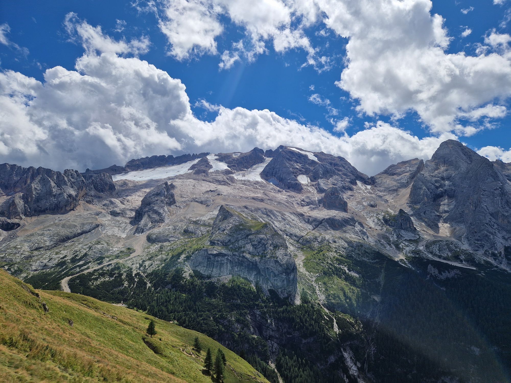
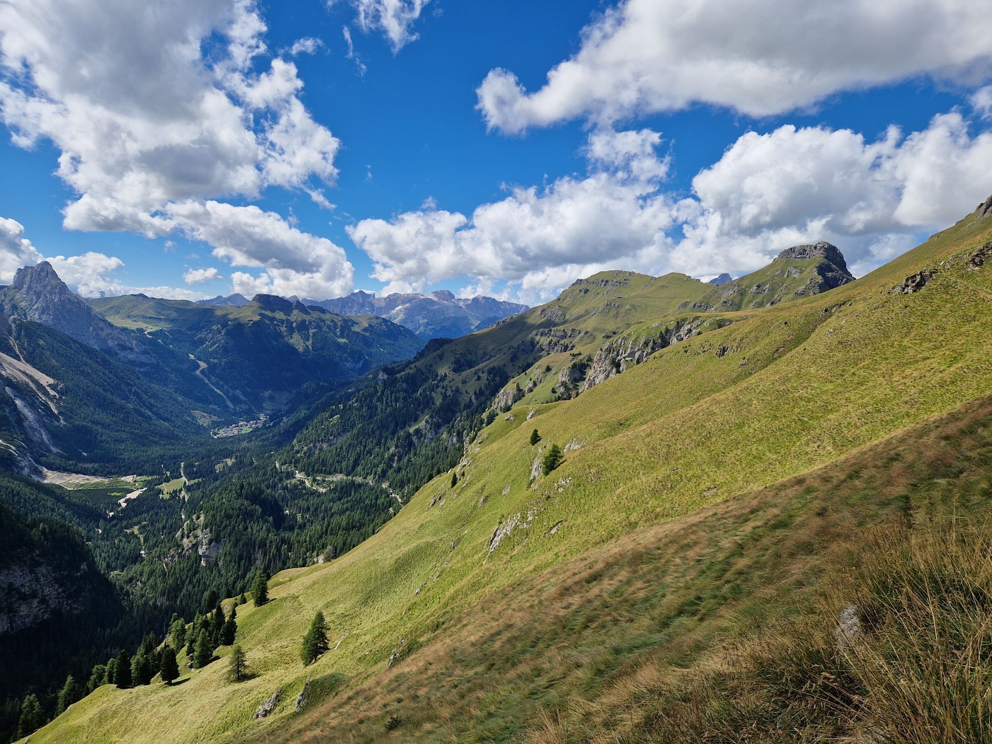
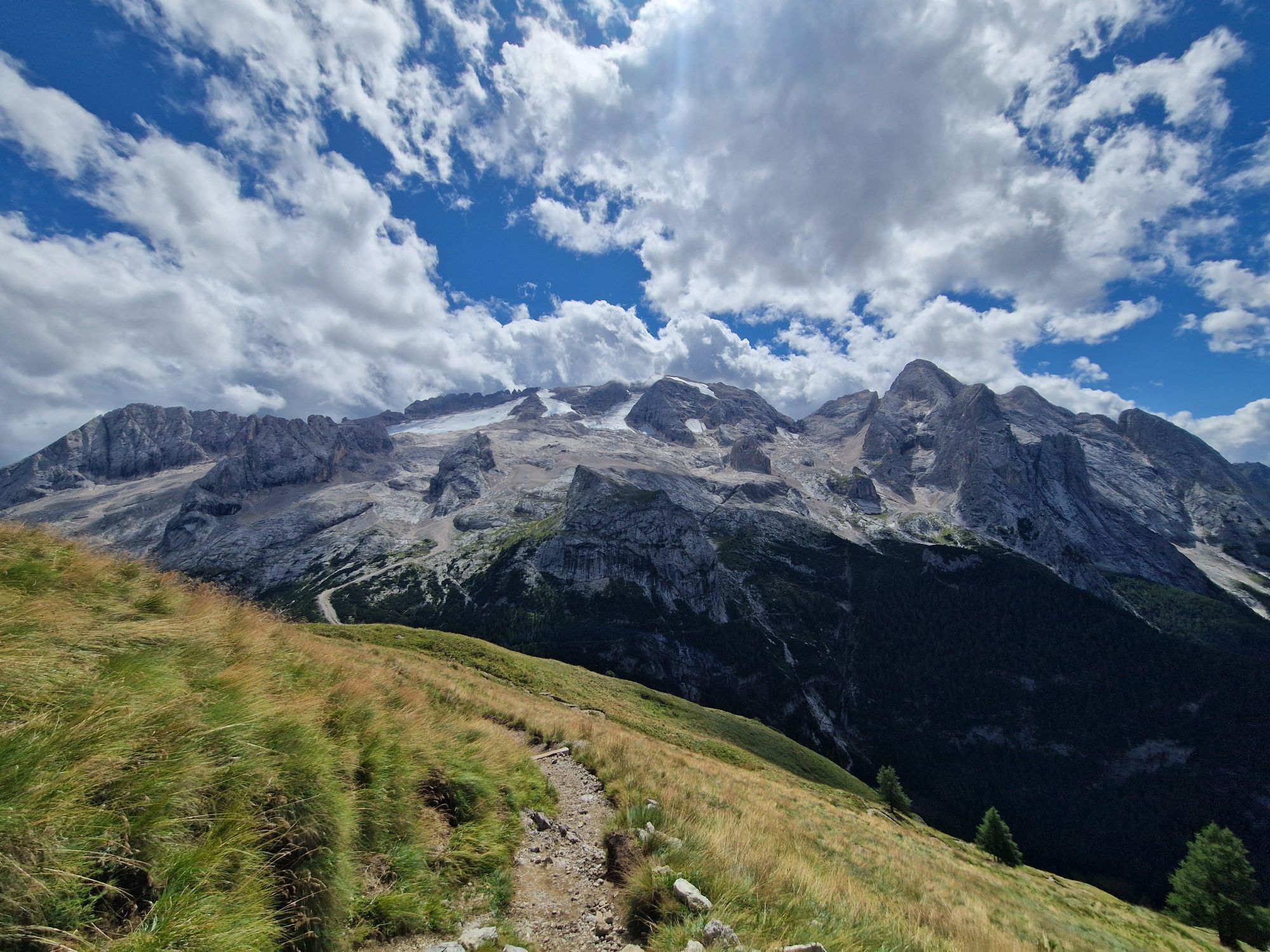
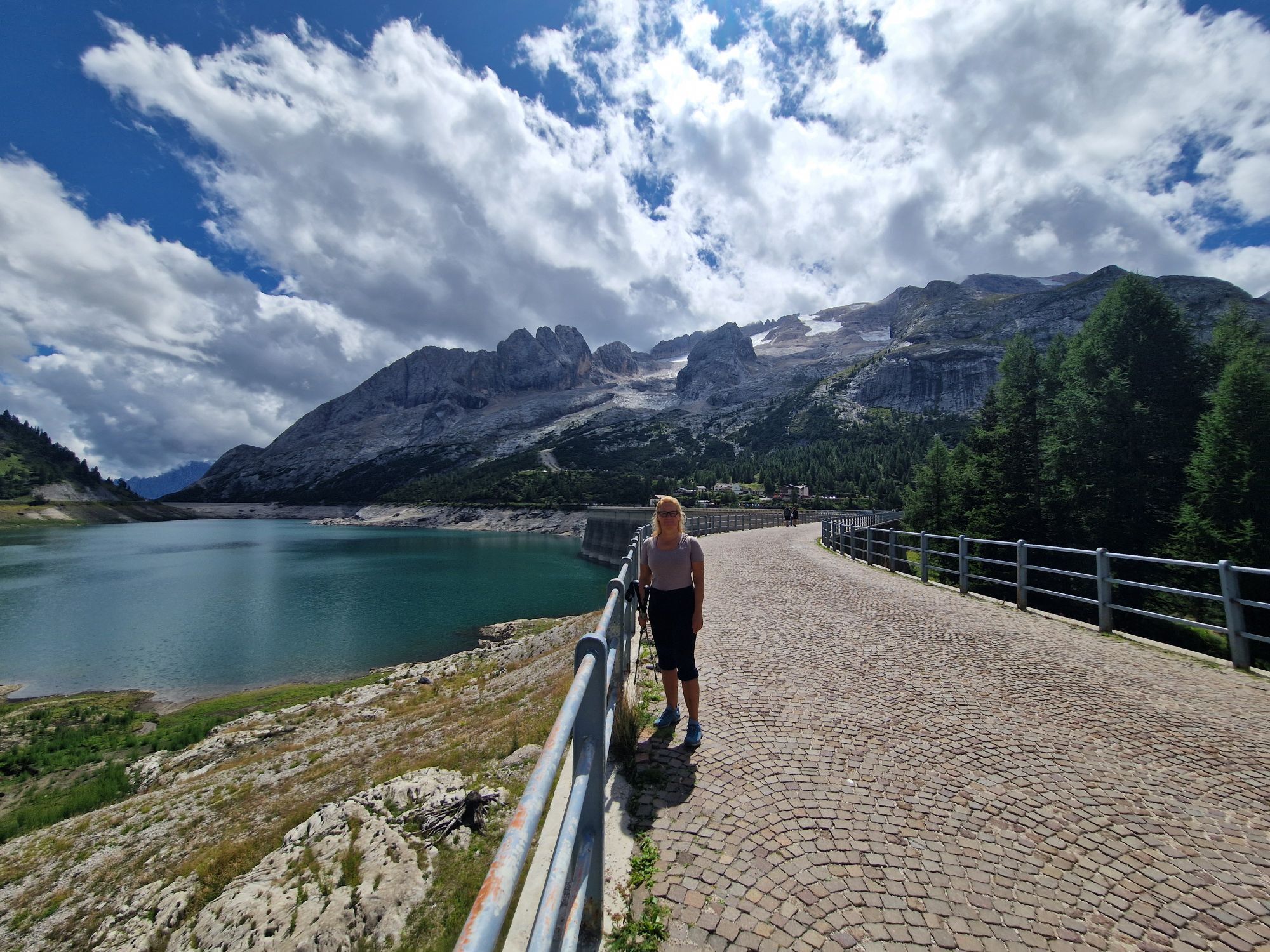
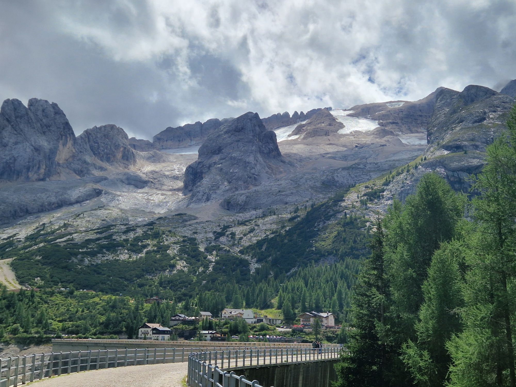
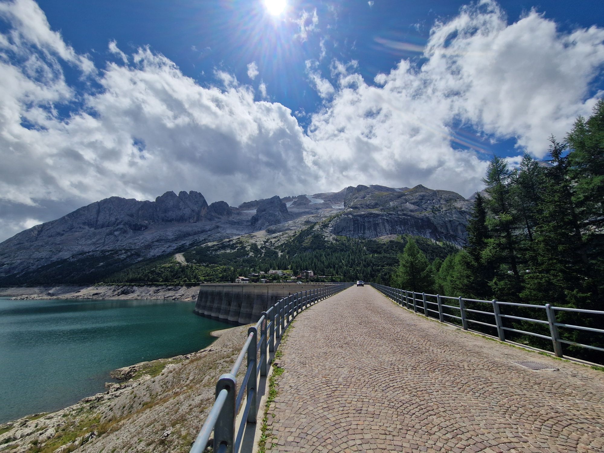
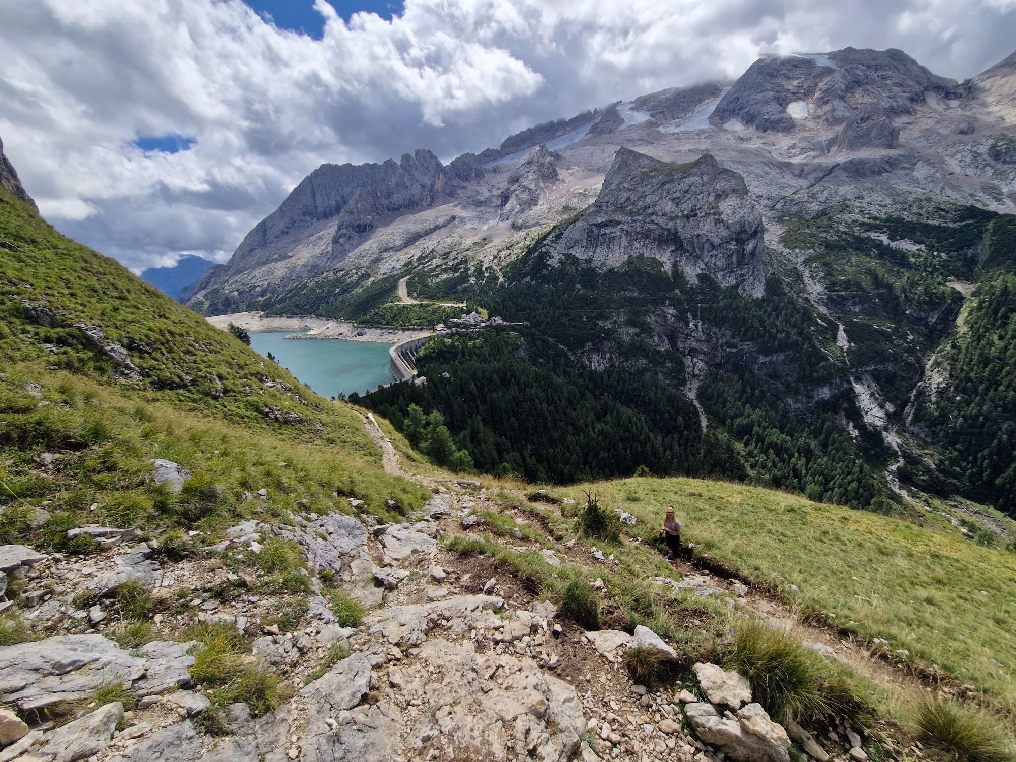
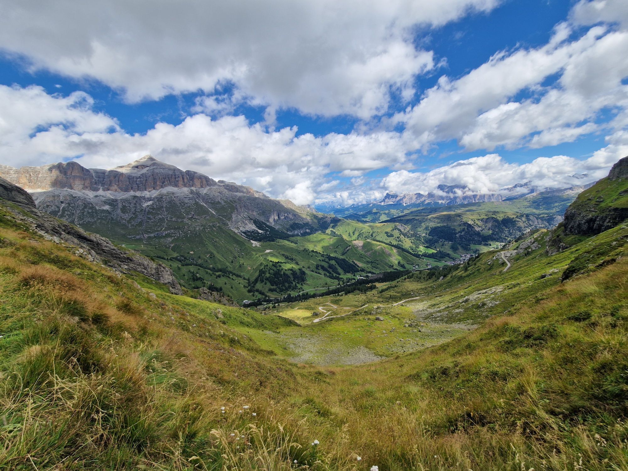
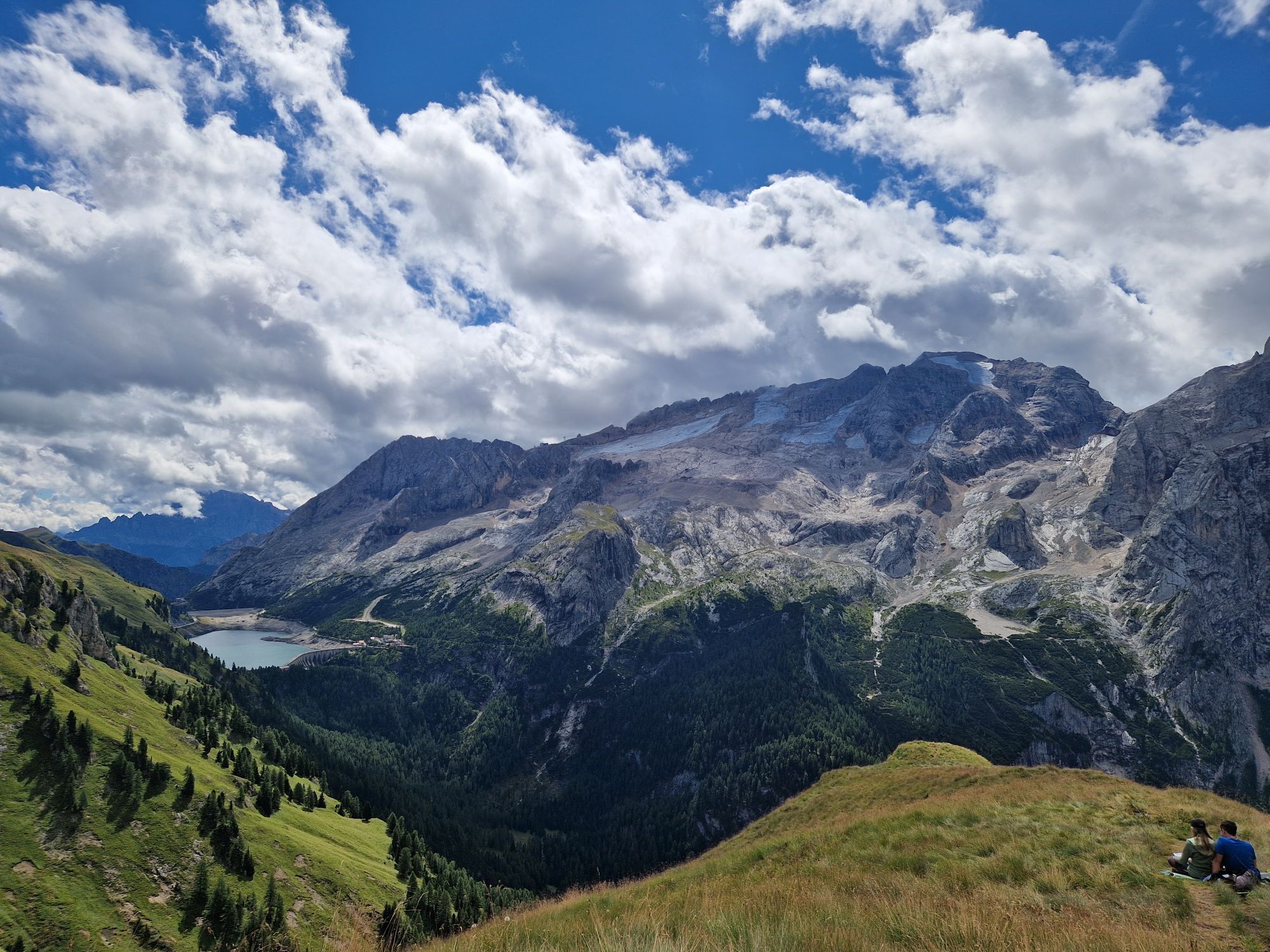
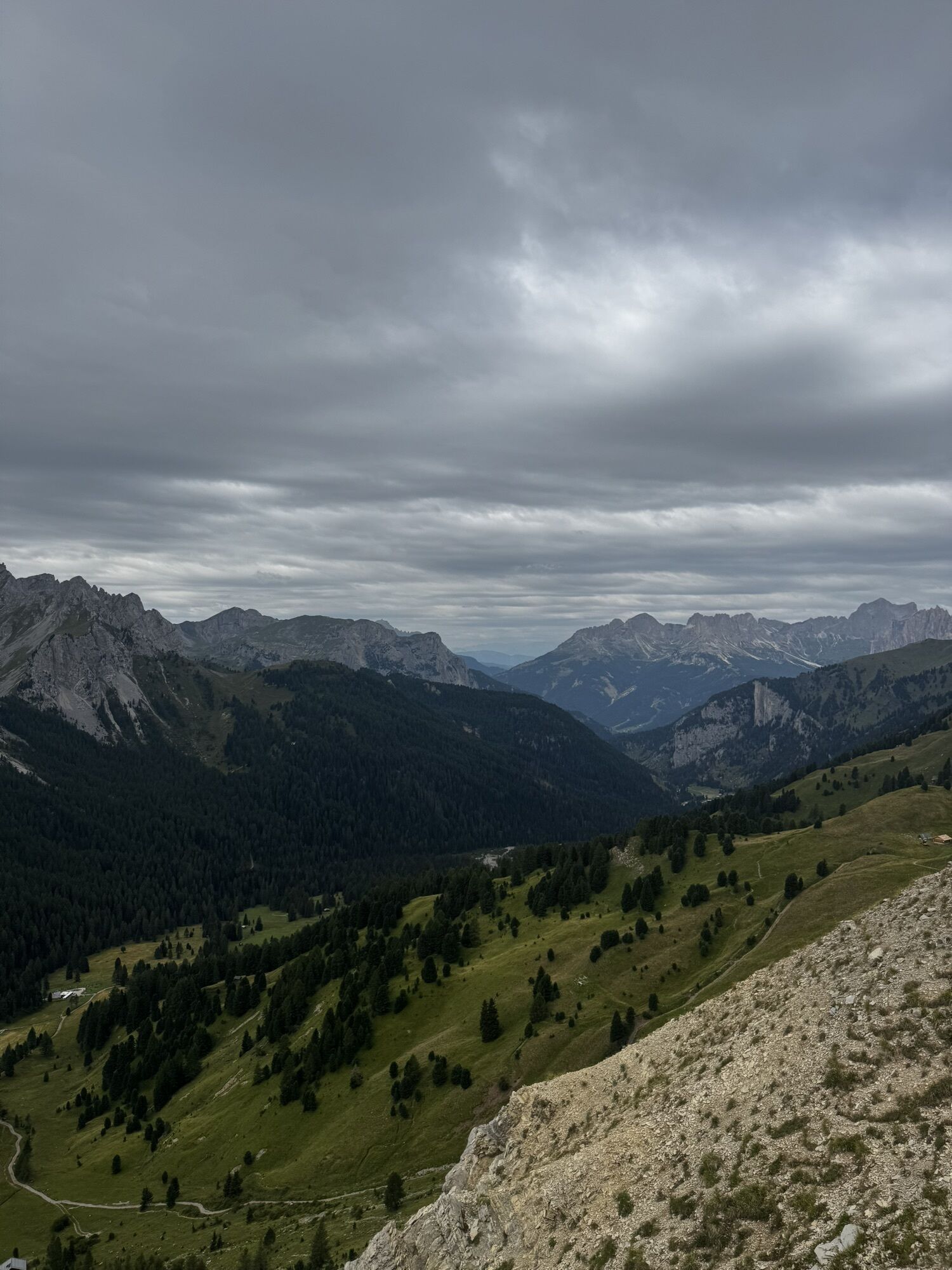
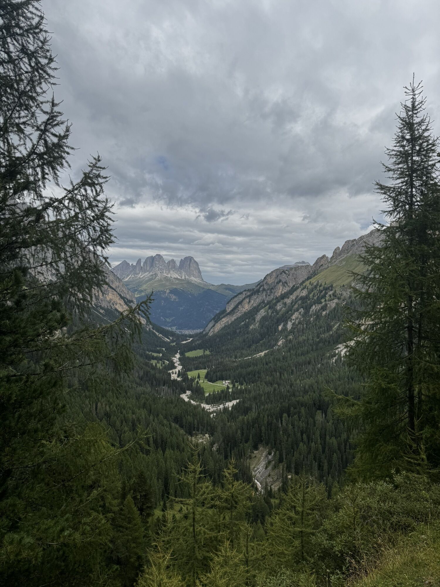
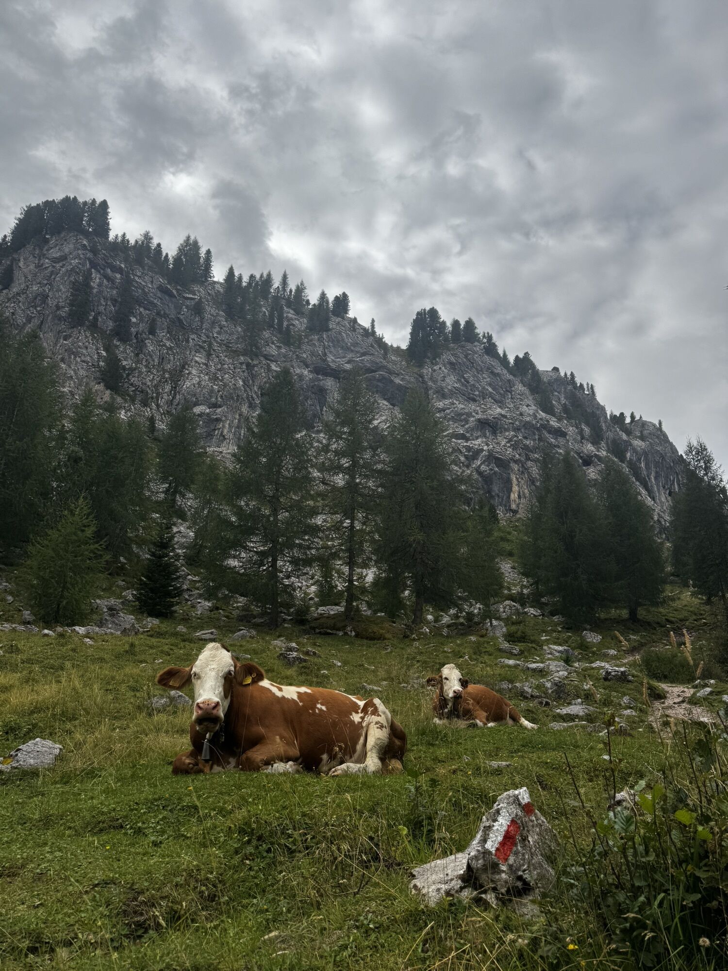
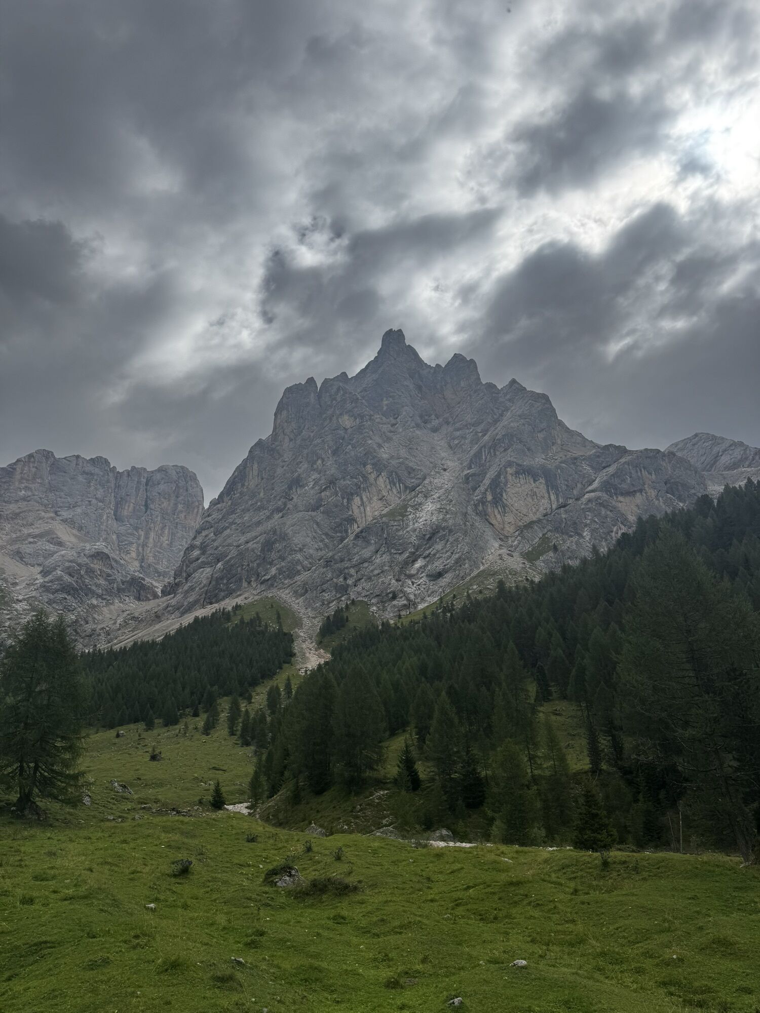
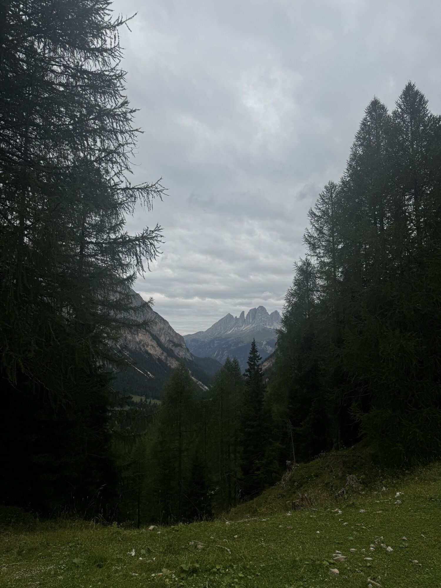
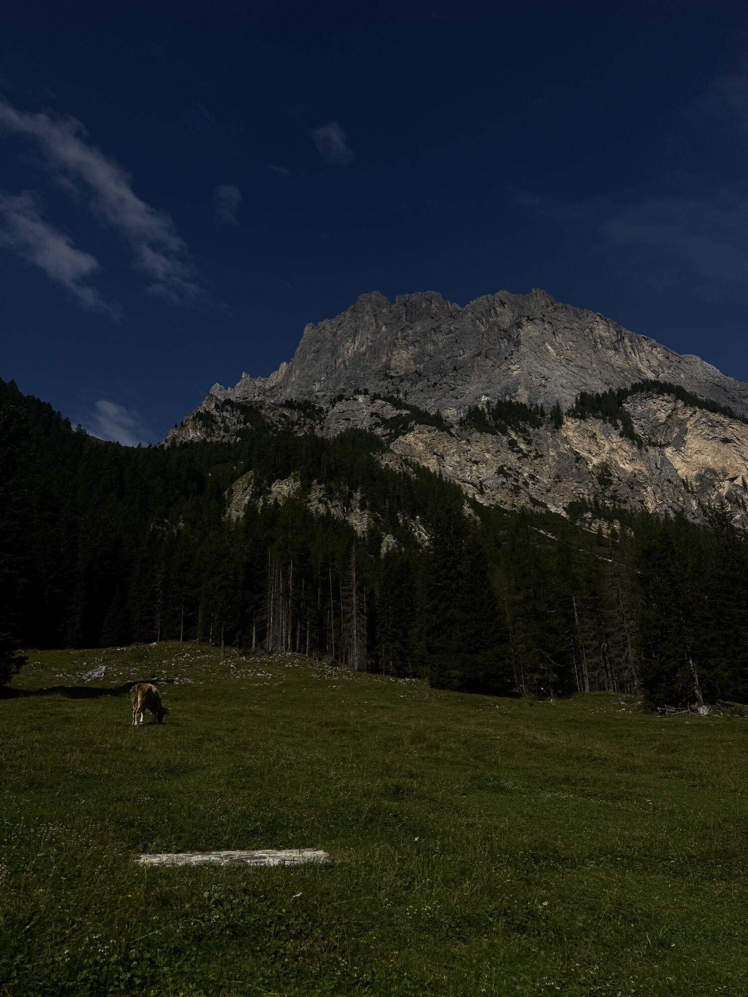
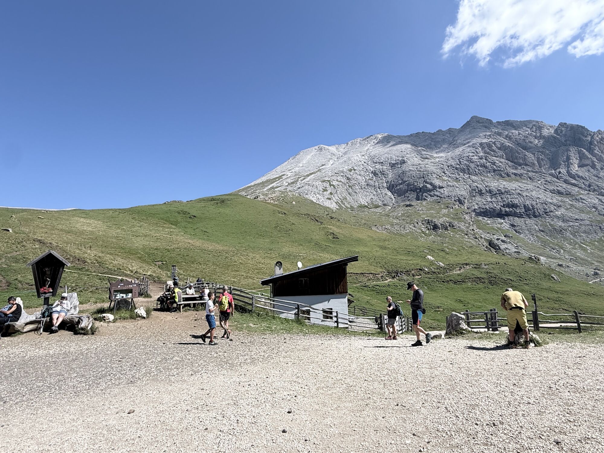
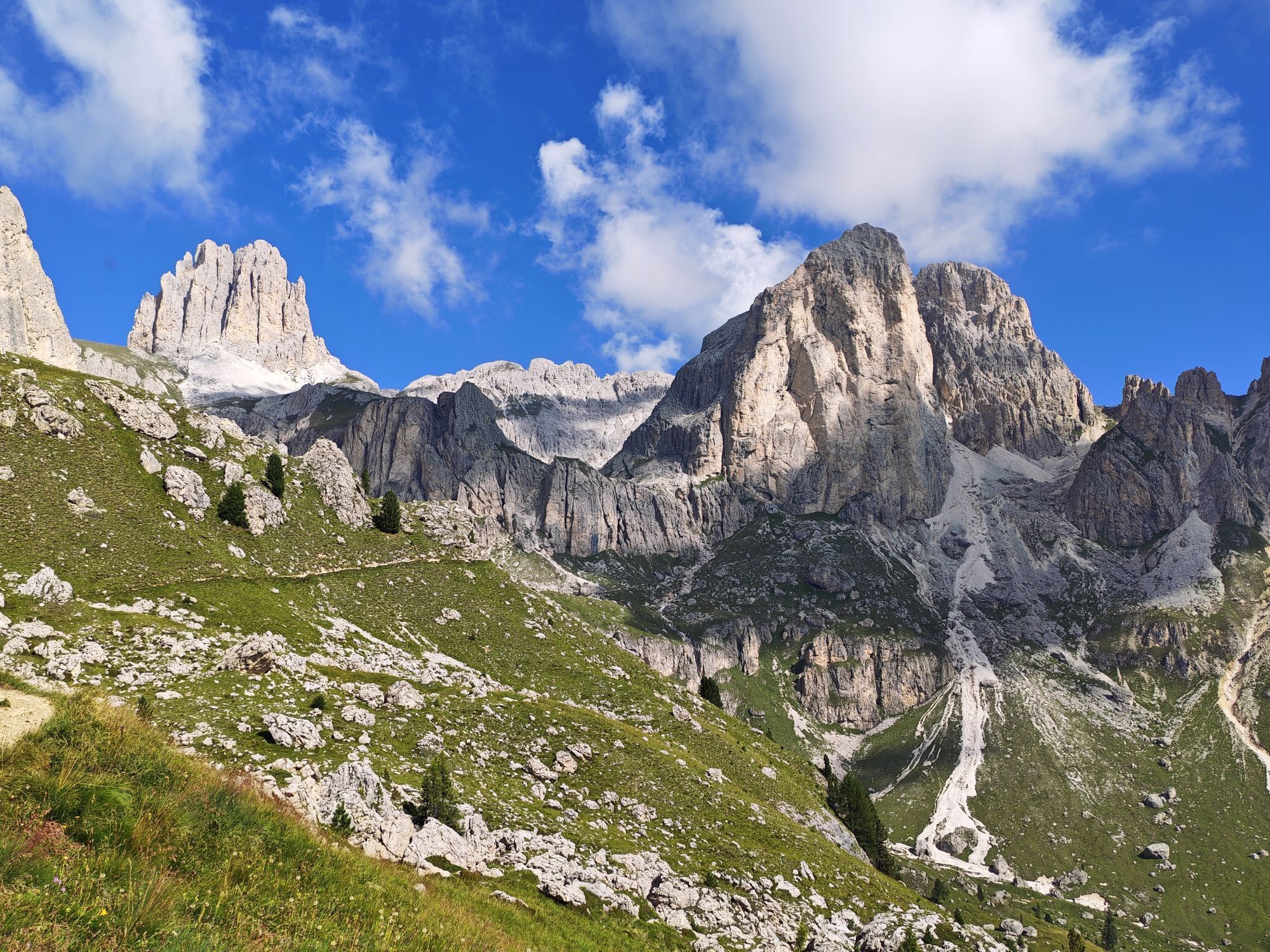
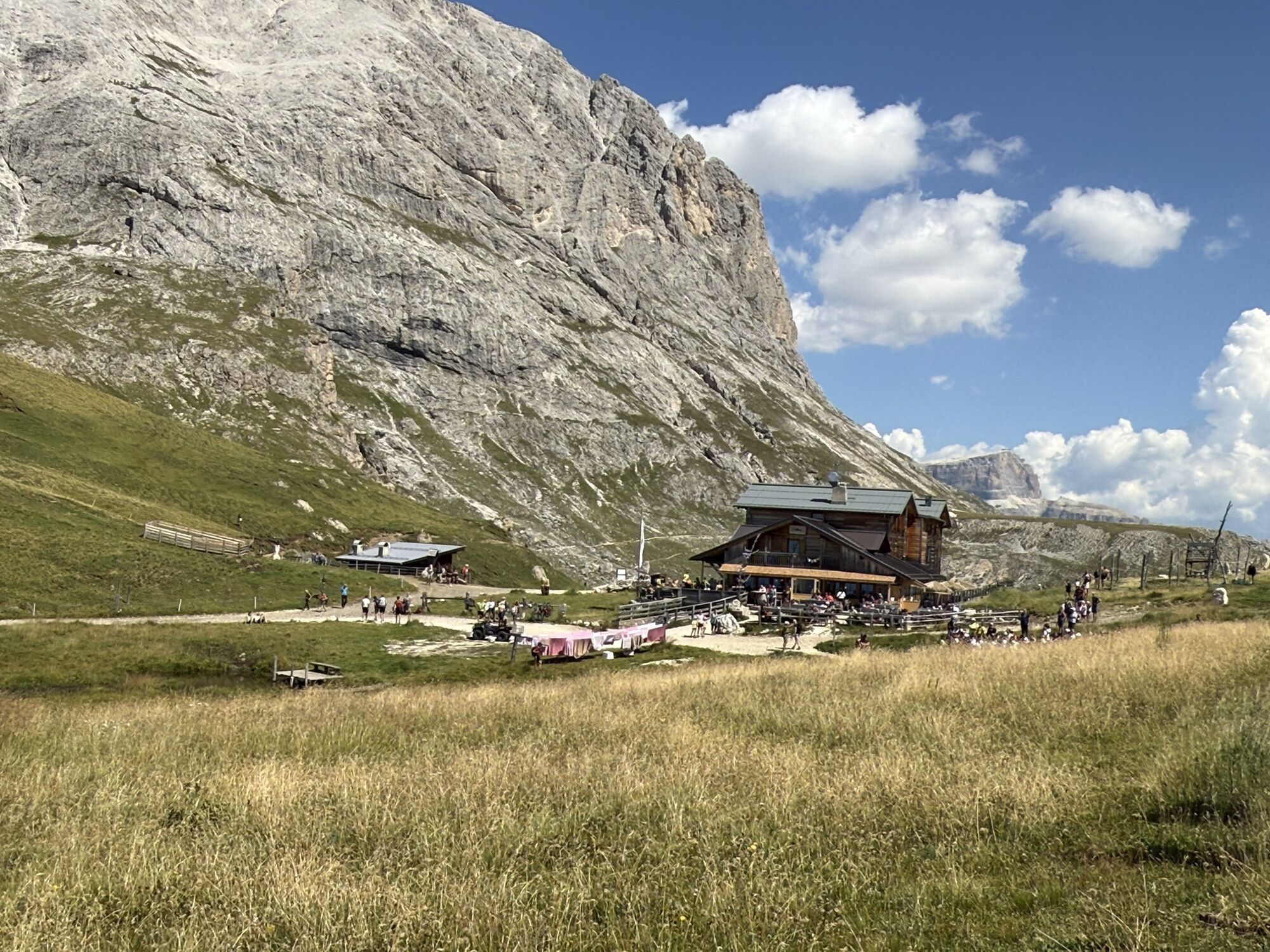
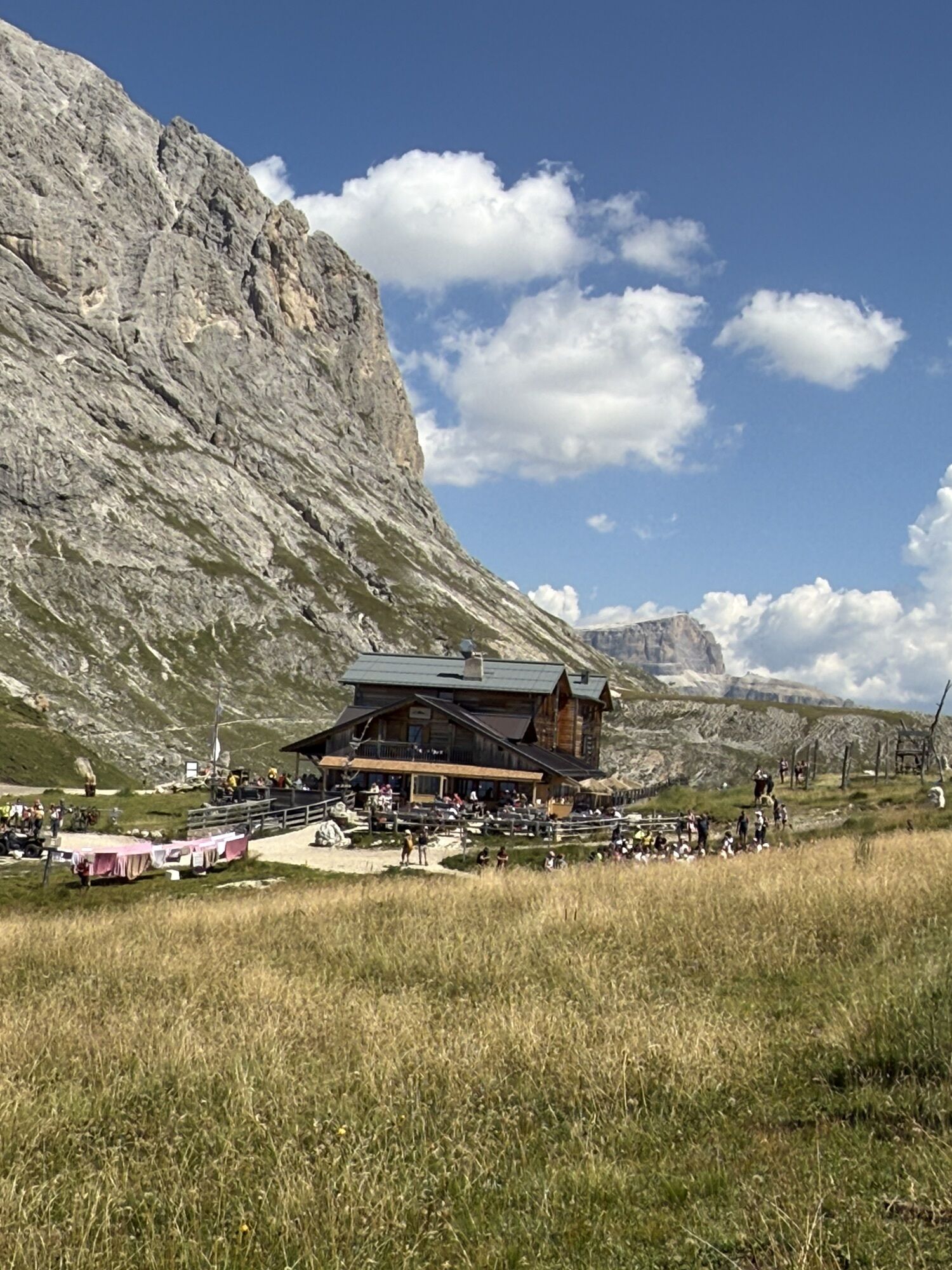
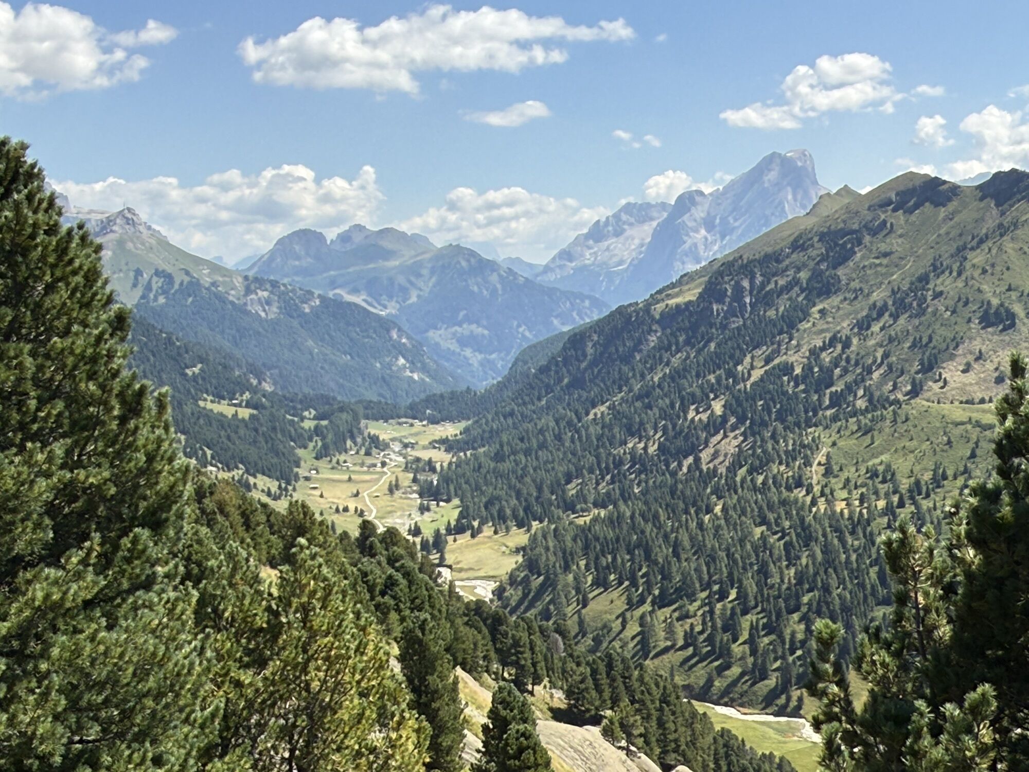
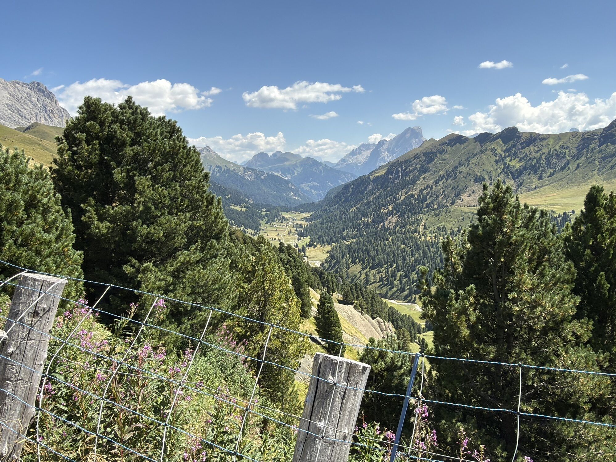
The Dolomiti Trek King takes its name from a legendary king at the heart of ancient tales rooted in these very mountains. Here, the Dolomites reveal striking colours, vast panoramas and places that retain...
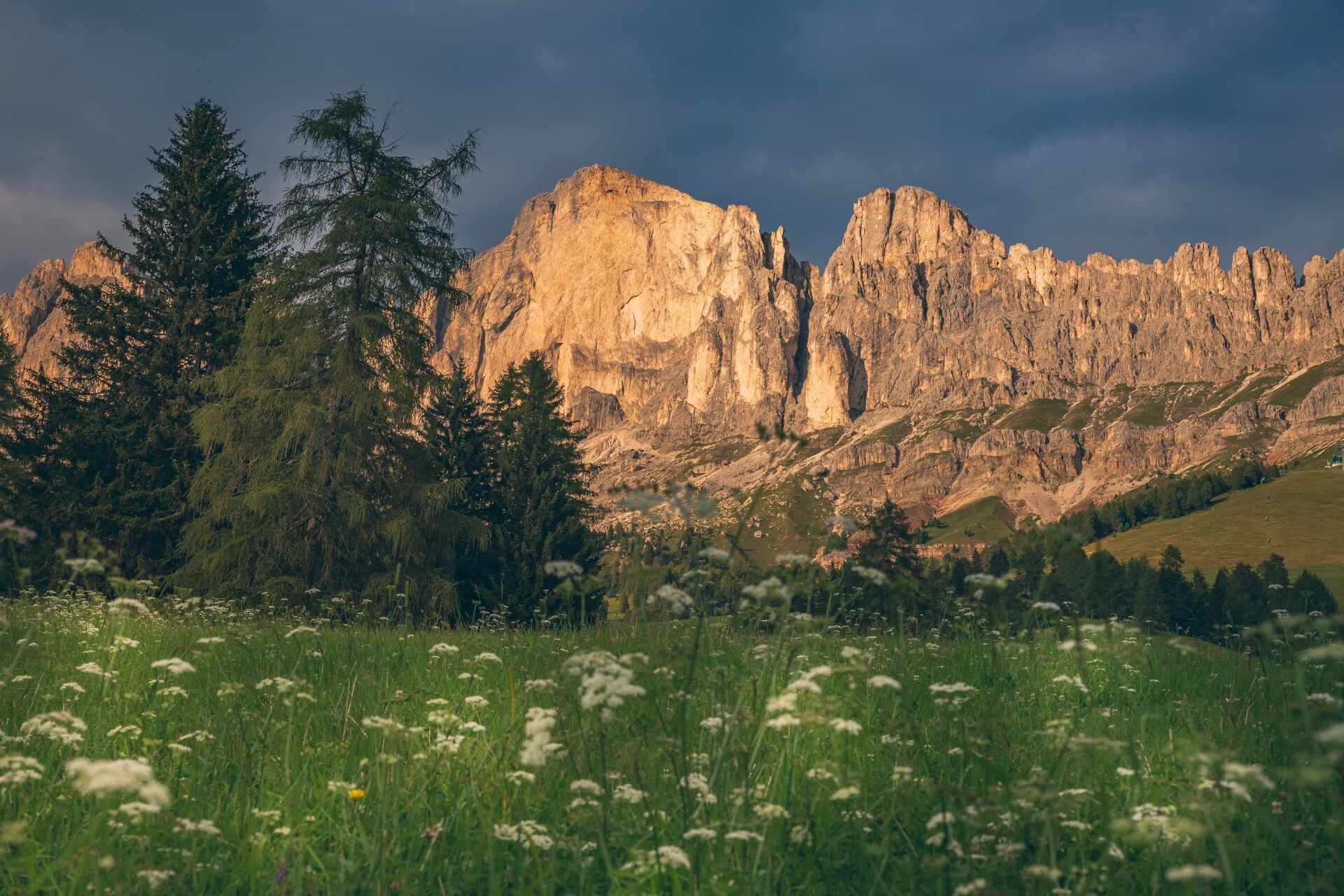
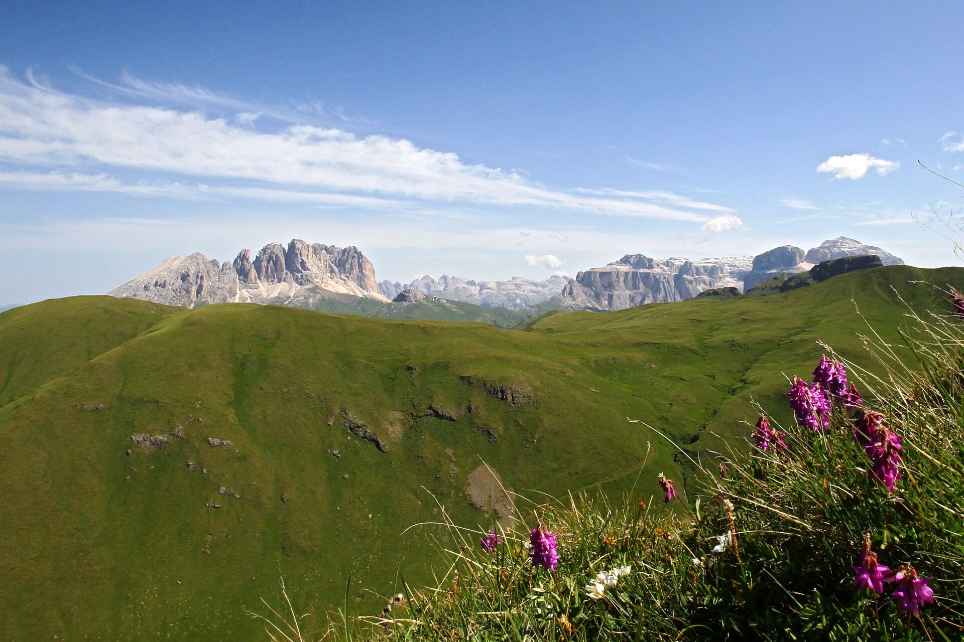
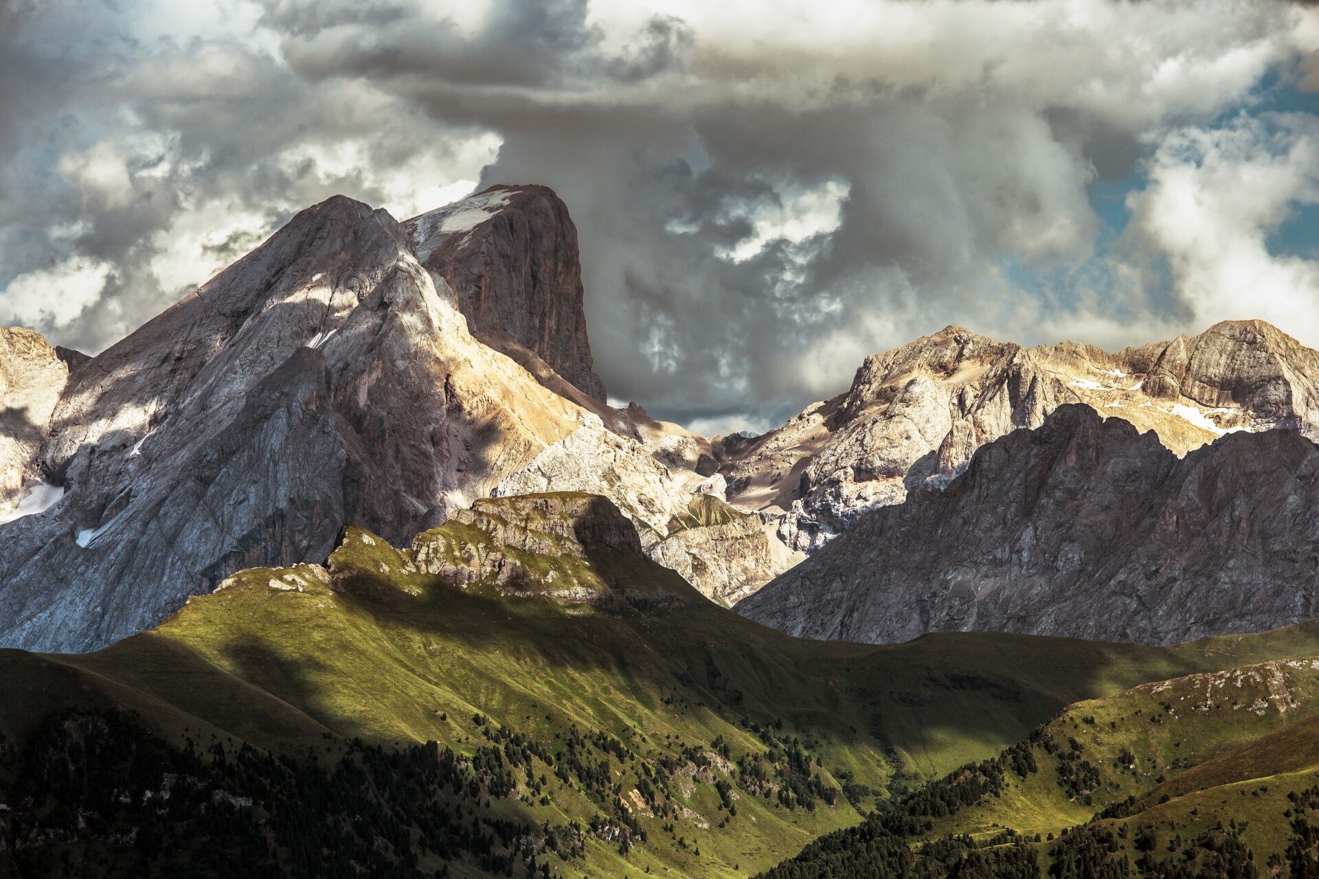
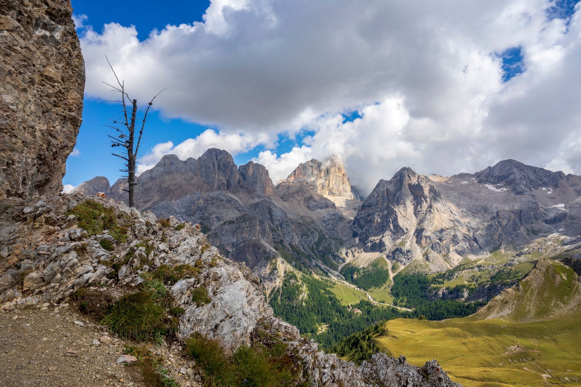
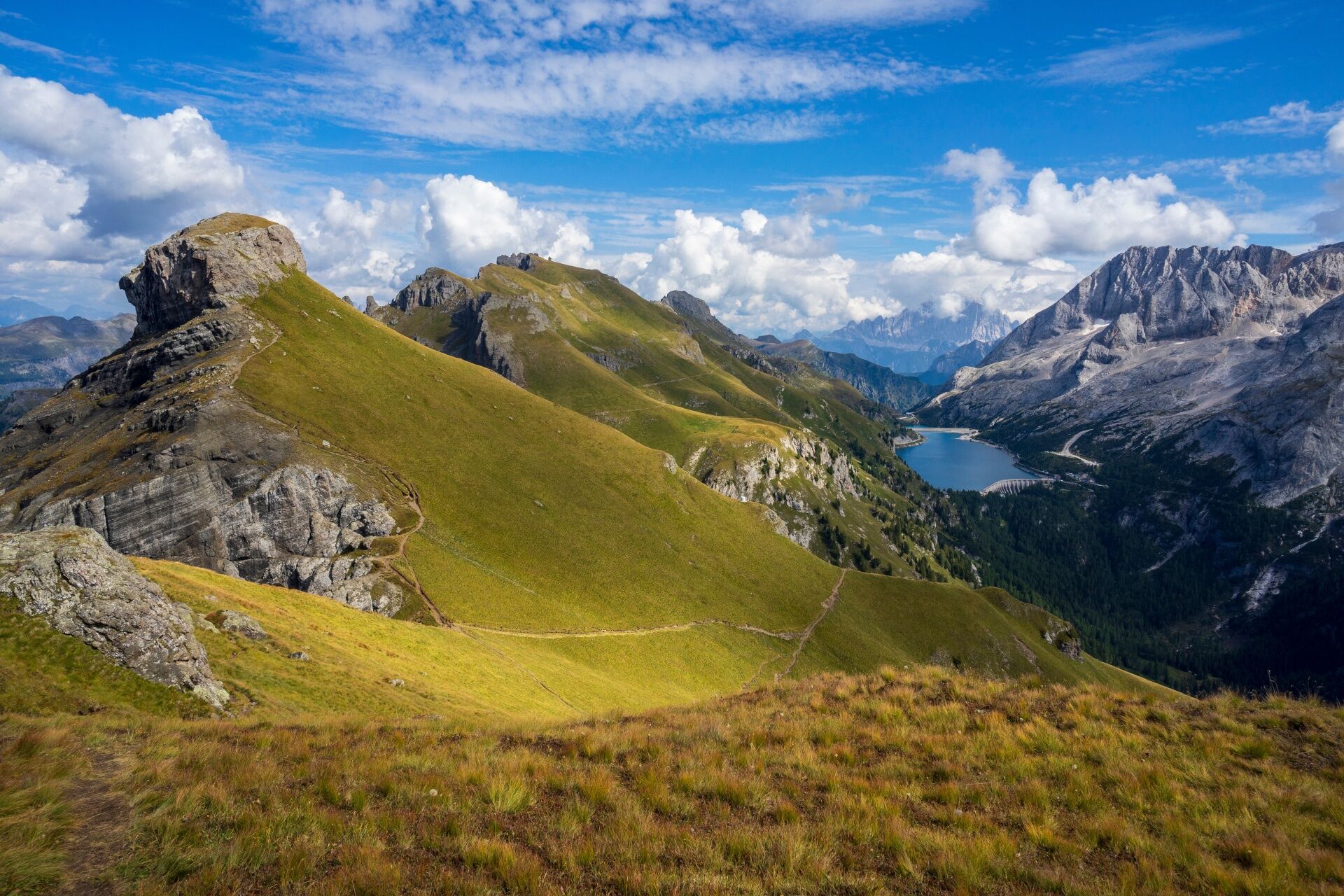
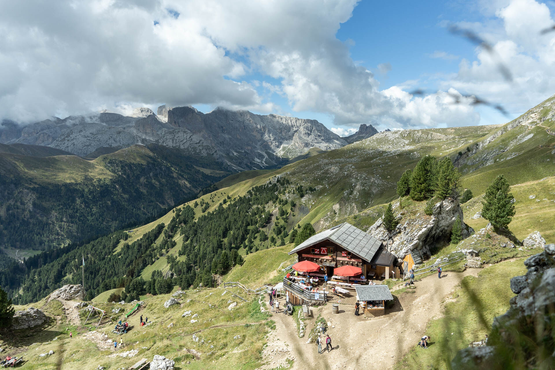
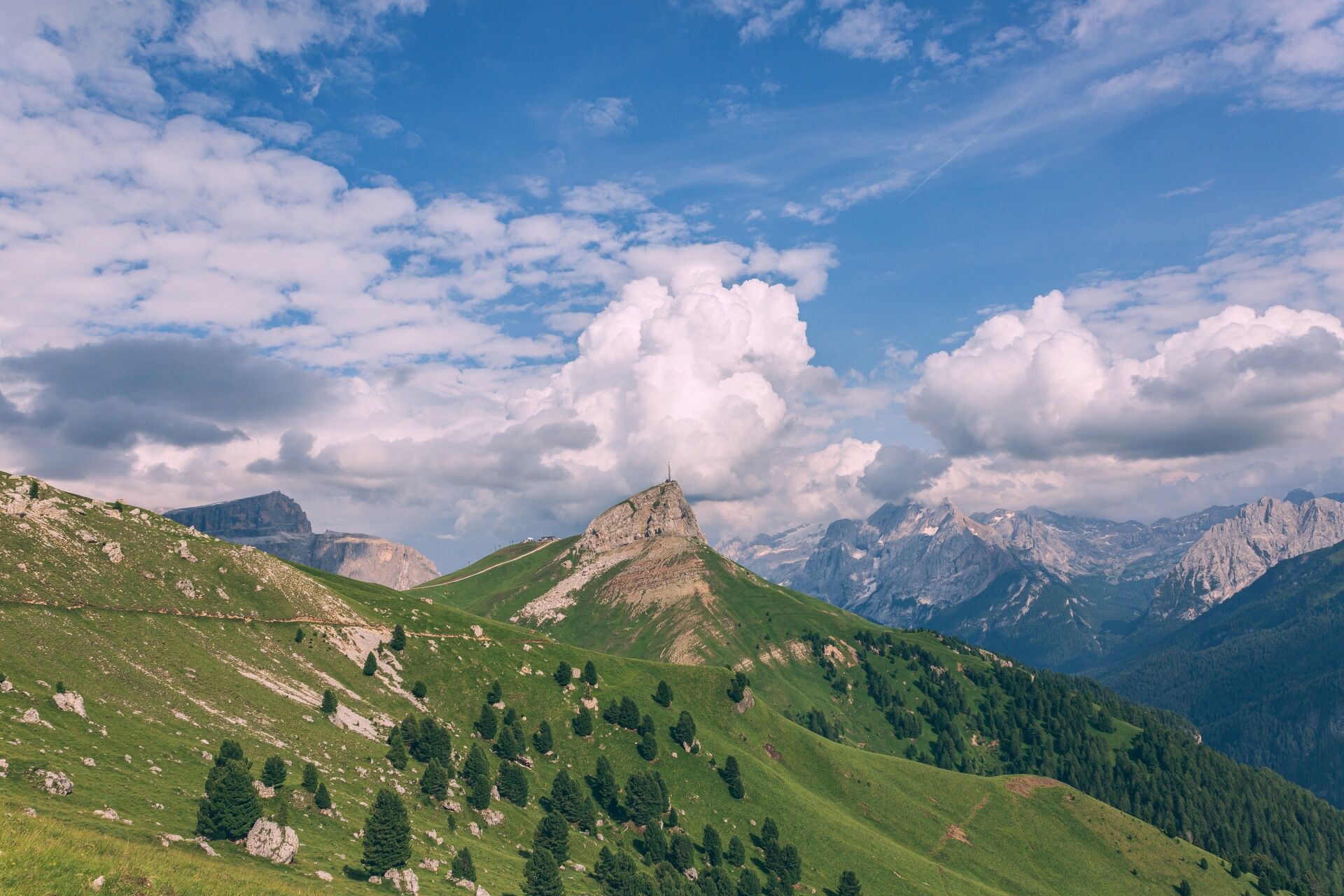
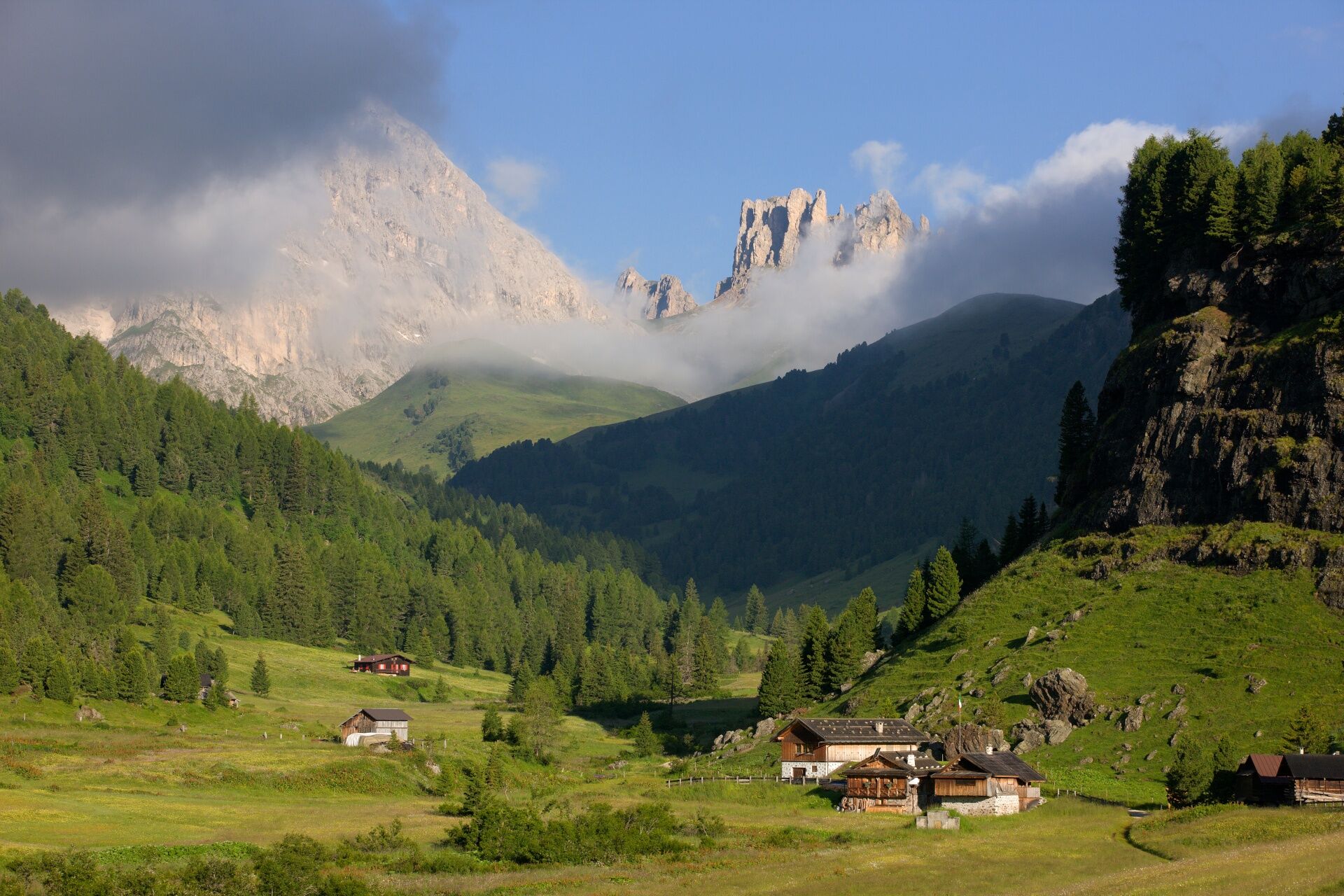
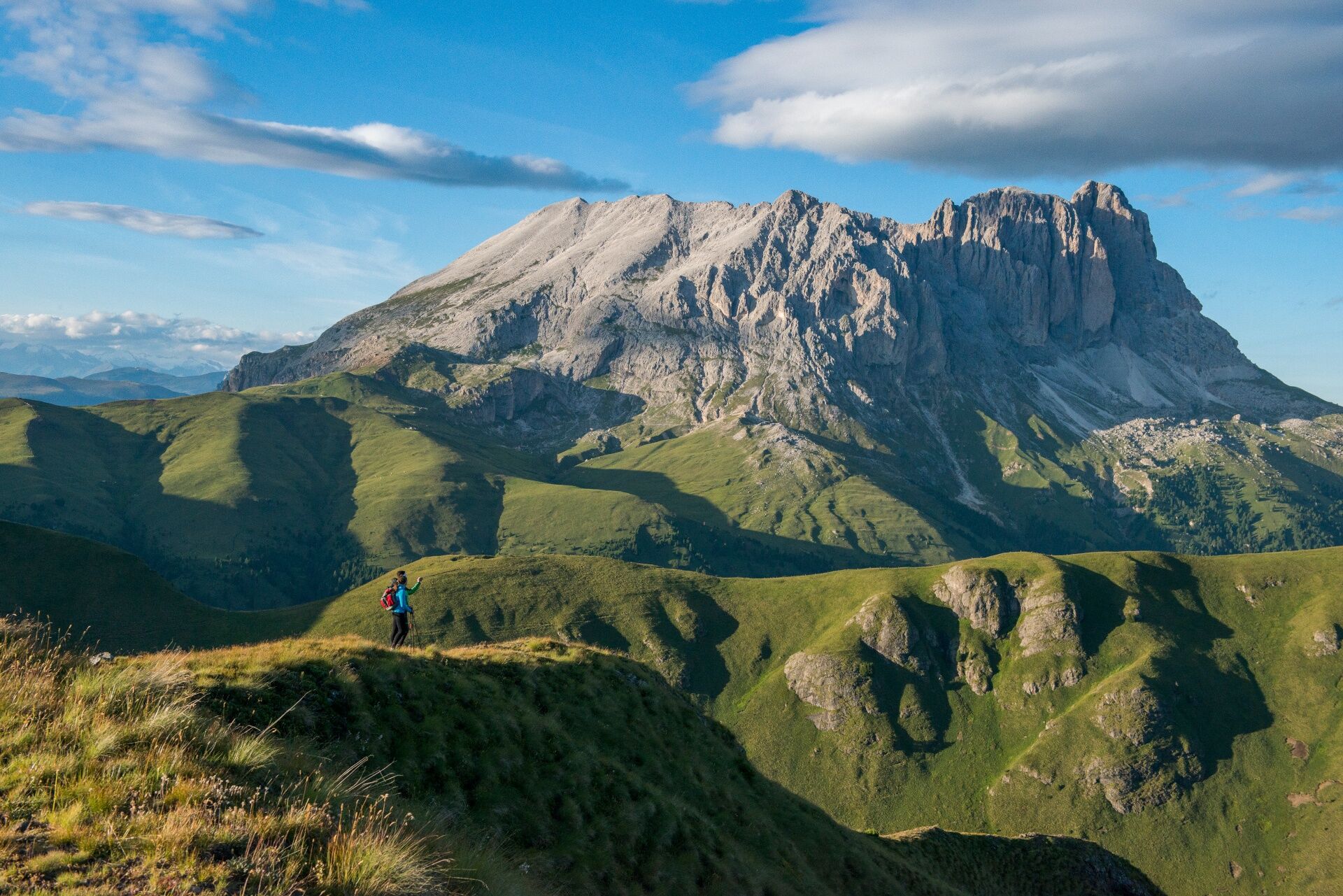
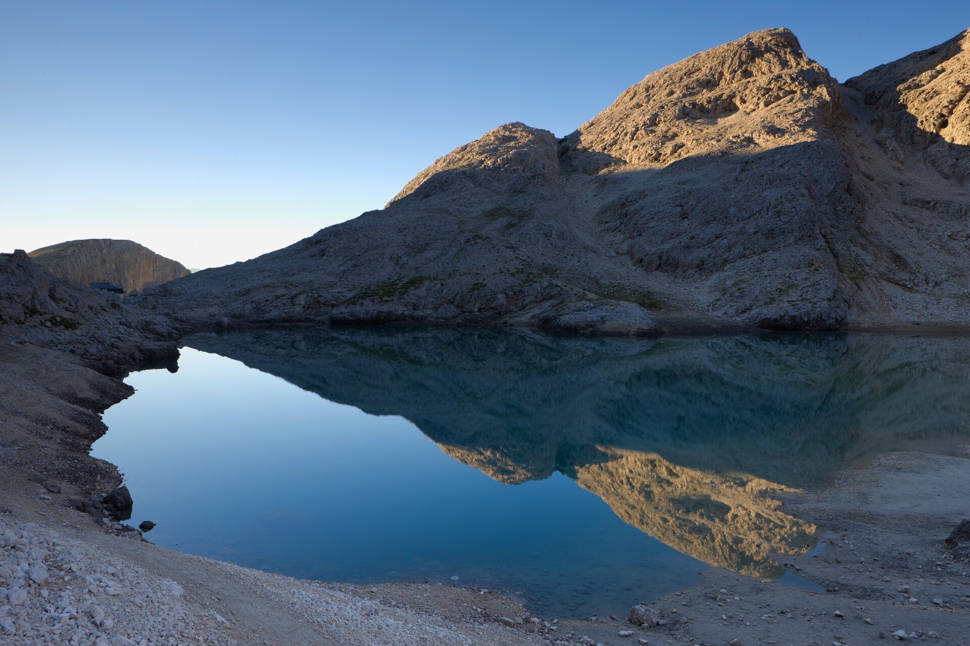
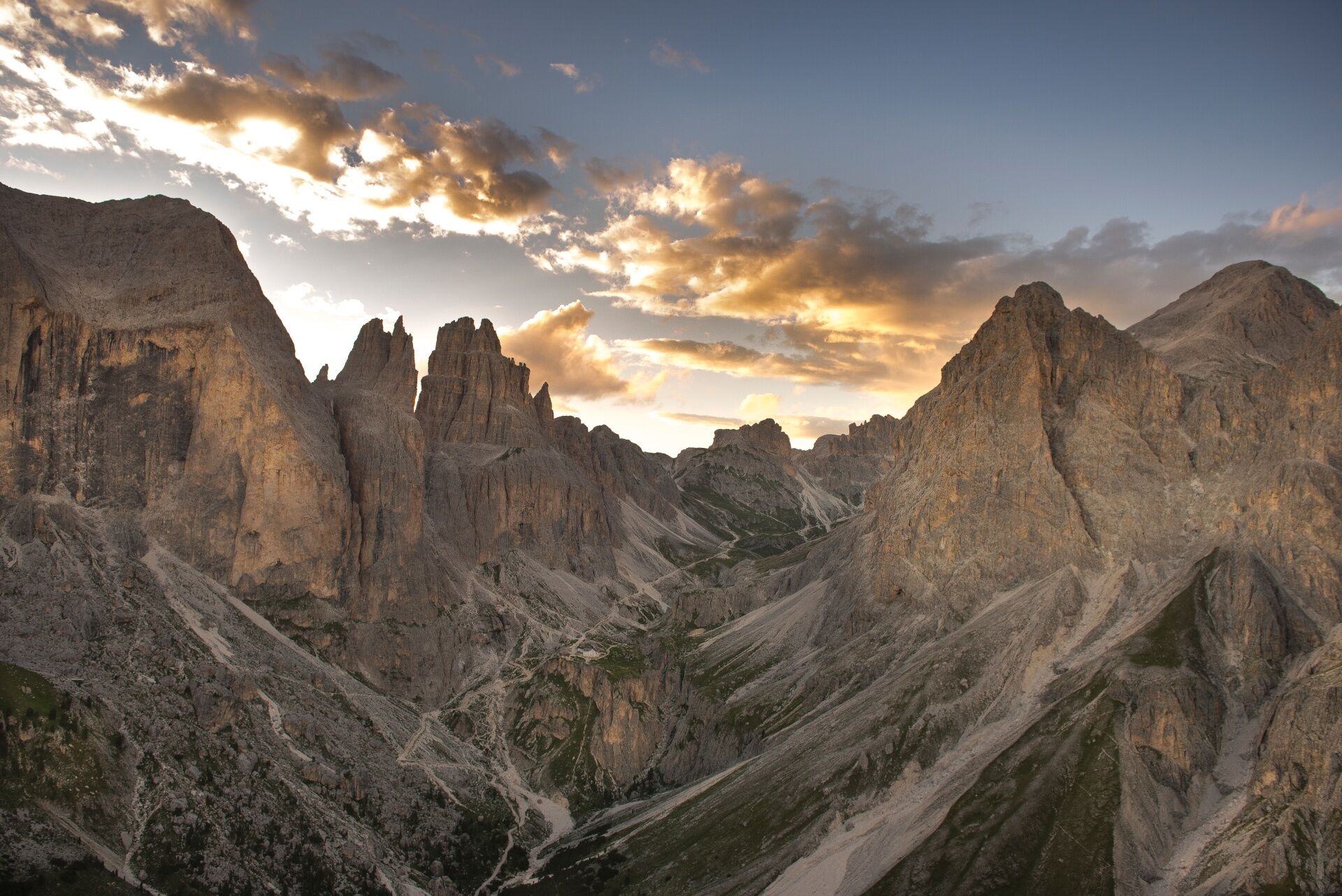
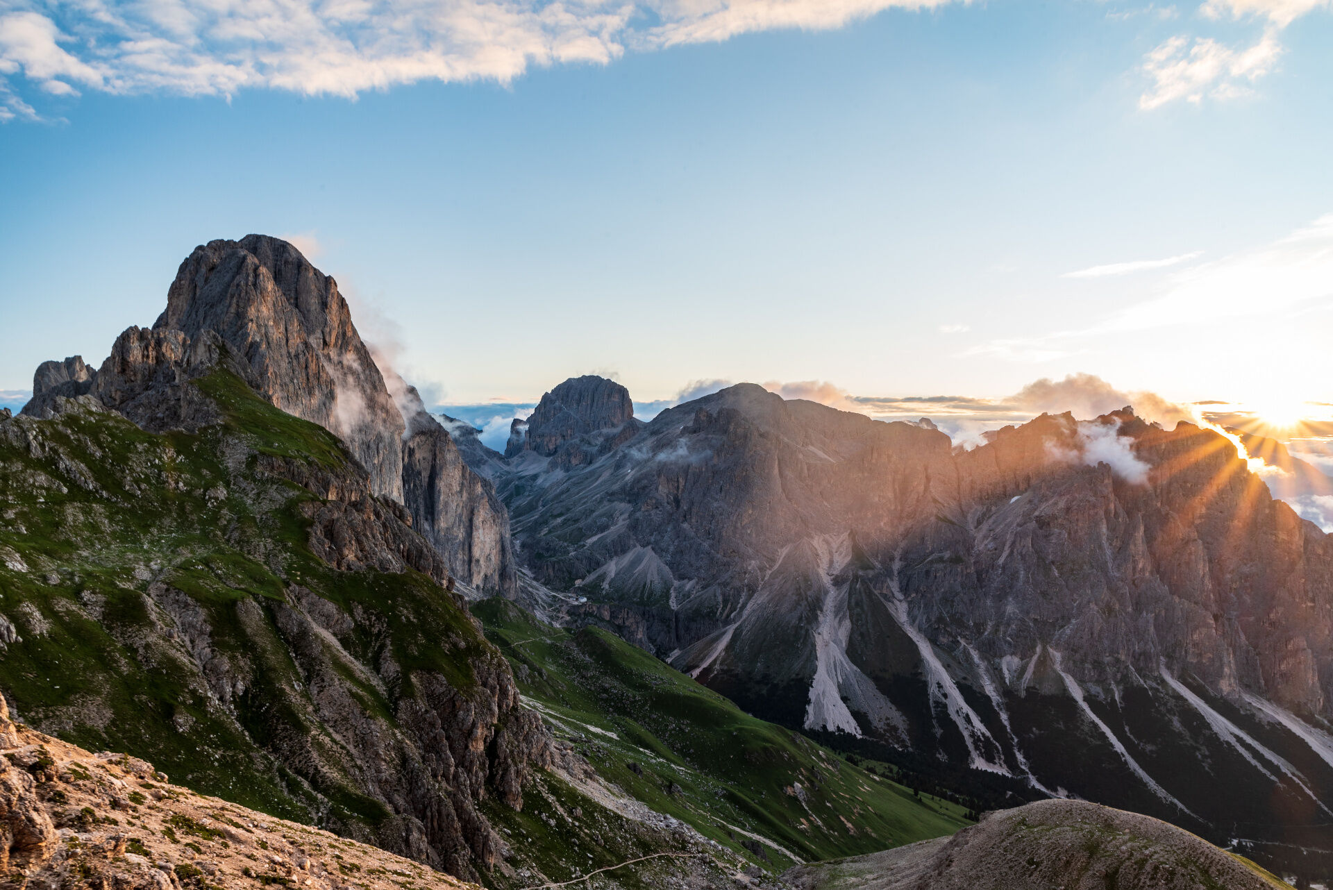
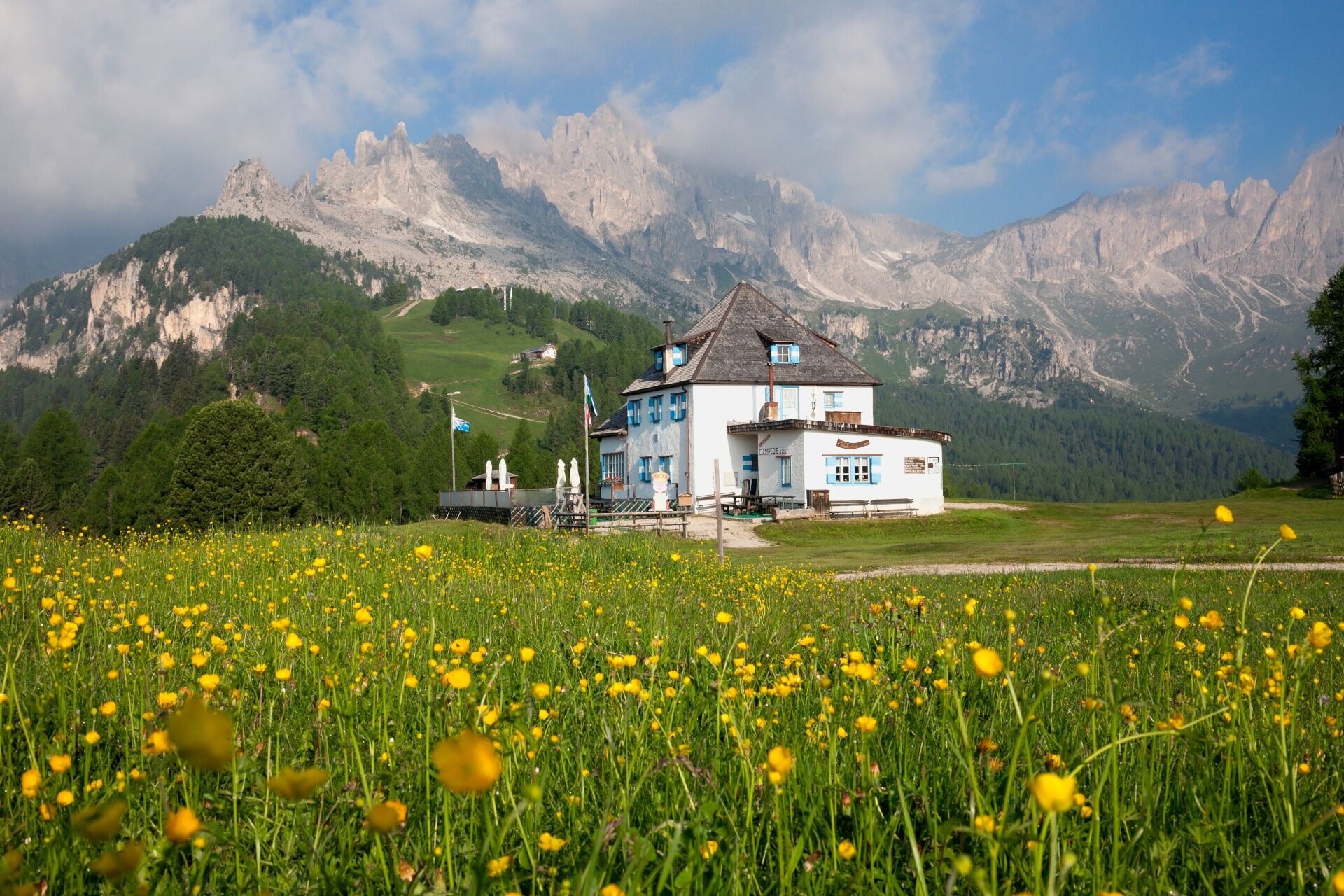
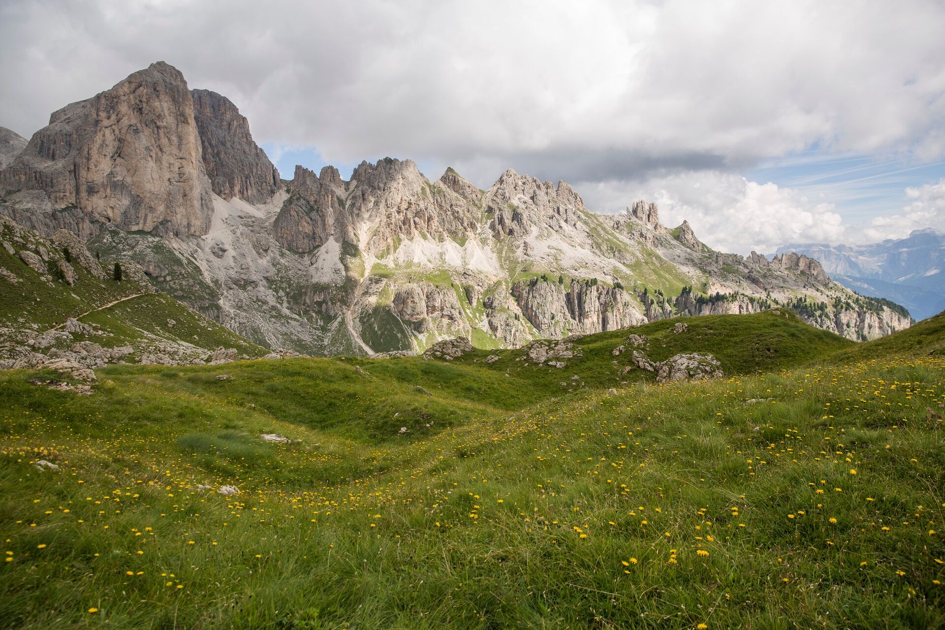
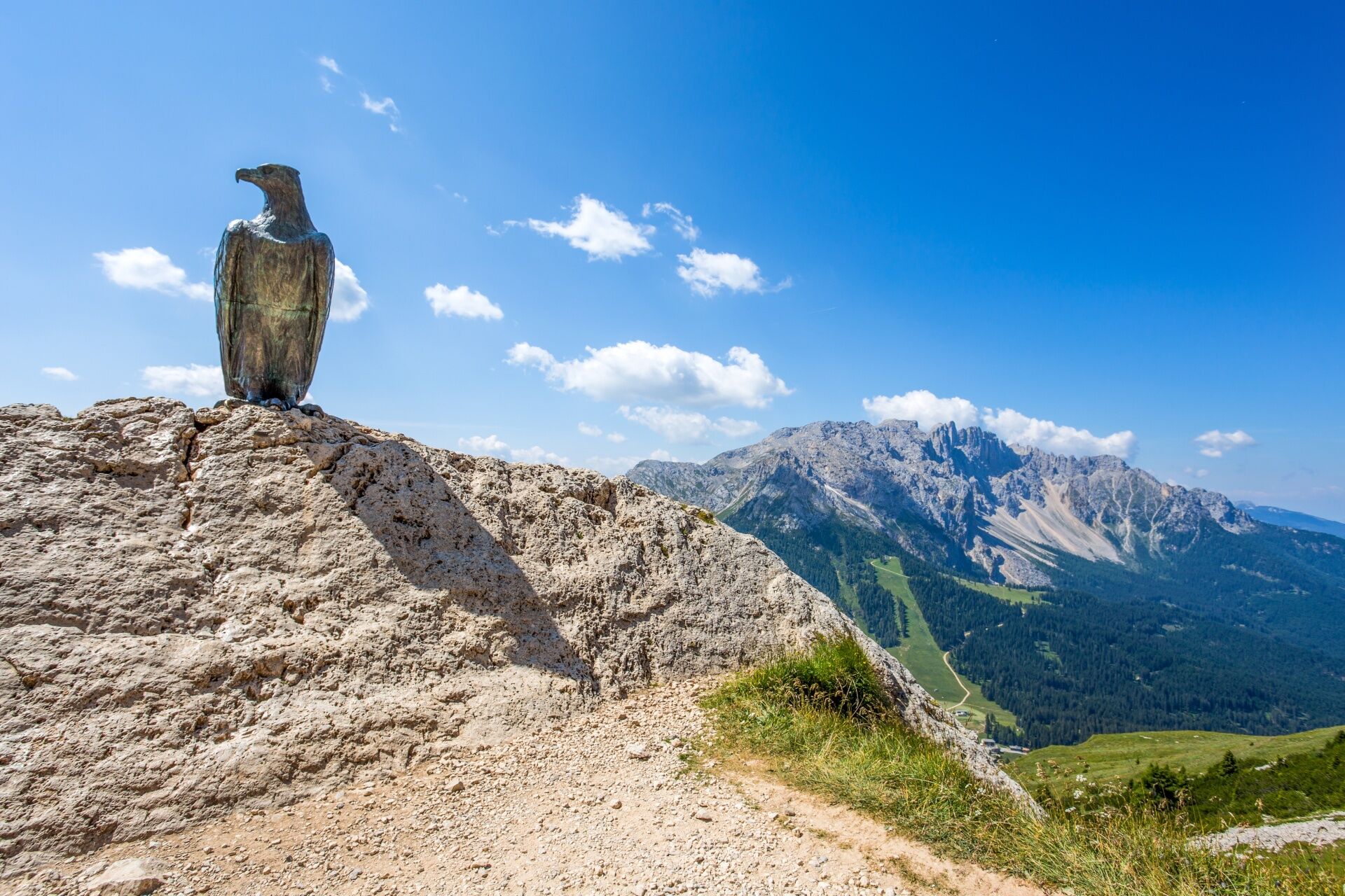
The Dolomiti Trek King takes its name from a legendary king at the heart of ancient tales rooted in these very mountains. Here, the Dolomites reveal striking colours, vast panoramas and places that retain an almost otherworldly charm. This multi-day trek invites you to slow down, listen, and let yourself be carried by the rhythm of the journey. Step by step, amid silence, natural sounds and ever-changing horizons, you enter a dimension that feels far removed from everyday life. And perhaps this is its true secret: there are experiences that cannot be explained, only lived.

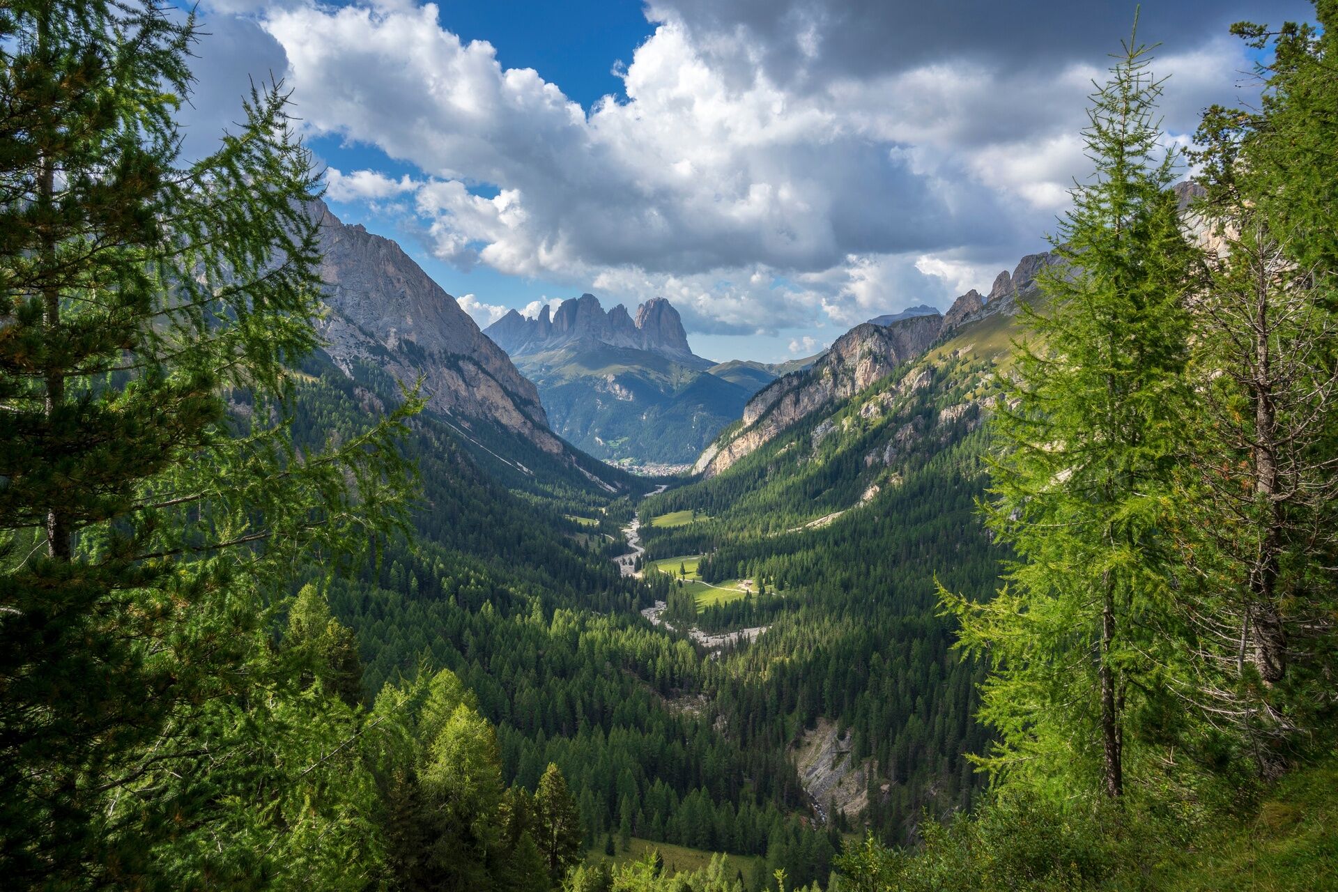
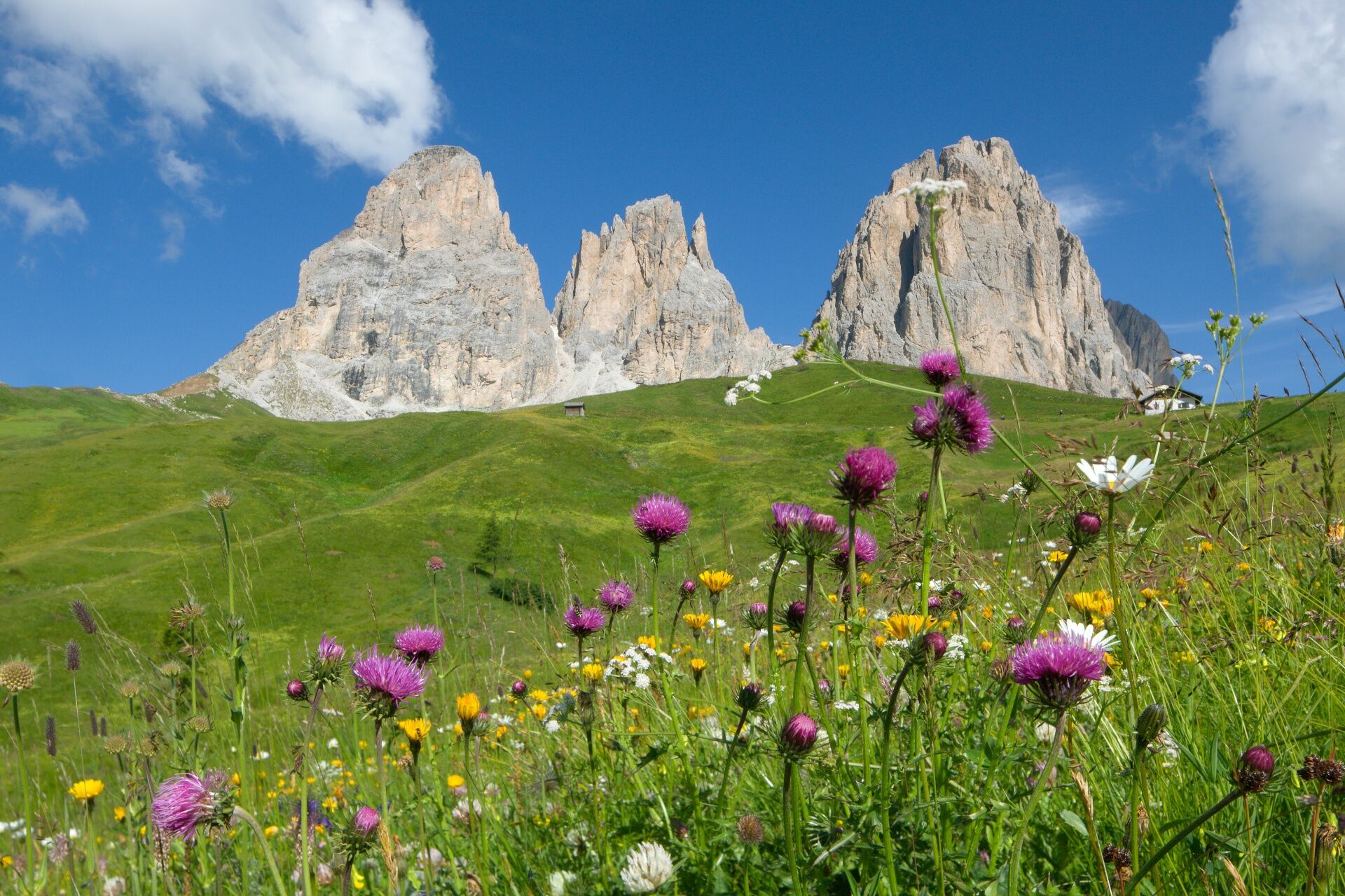

Stage 1: Pozza di Fassa > Rifugio Contrin
Stage 2: Rifugio Contrin > Fedaia Pass
Stage 3: Fedaia Pass > Col Rodella
Stage 4: Col Rodella > Rifugio Antermoia
Stage 5: Rifugio Antermoia > Gardeccia
Stage 6: Gardeccia > Costalunga Pass
Da
Da
Da
Make sure you have clothing and equipment suitable for the difficulty and duration of the trek. Pack the essentials for emergency situations in your rucksack, along with a basic first-aid kit.
2. Walk slowly, enjoy the landscape and the silence.
3. Inform someone about your planned itinerary, return time and possible changes.
4. Plan your outings with others and, when possible, rely on a mountain professional.
5. Help those in need. In case of real need and for emergencies, call 112.
6. Make sure you have suitable clothing and equipment (poles, water, snacks, etc.).
7. Respect the environment around you and take your rubbish back down to the valley.
8. Follow the marked trails avoiding those in the bike park.
9. To protect the wonders of nature, leave everything in its place.
10. Always keep your pet on a leash.
Other access routes to Val di Fassa
From the A27 motorway (Venice), Belluno/Ponte nelle Alpi exit: SS 203 to Agordo, then SP 346 over Passo San Pellegrino to Moena (Val di Fassa). From the Moena bypass, continue towards Canazei From the A27 motorway (Venice), Belluno/Ponte nelle Alpi exit: SS 203 to Agordo/Alleghe/Rocca Pietore, then SP 641 over Passo Fedaia to Canazei From Arabba: SS 48 over Passo Pordoi to Canazei From Val Gardena: SS 242 over Passo Sella to Canazeisüdtirolmobil bus lines - Val di Fassa
Line 180: Vigo di Fassa - Passo Carezza - BolzanoT2
Val di Fassa Tourist Board
Strèda Roma, 36
38032 Canazei (TN)
Phone +39 0462 609500
info@fassa.com
www.fassa.com
The route is divided into 6 stages along well-marked CAI-SAT trails. From each stage, you can descend into the valley and, thanks to shuttle services, cable cars or public transport, easily return to your starting point.
Spletne kamere s turneje
-
Ciampinoi
-
Plan de Gralba
-
Col dei Rossi
-
Ciampedie - Rosengarten
-
Ciampedie - Rosengarten
-
Ciampedie - Rosengarten
-
Ciampedie - Rosengarten
-
Arabba - Bec de Roces
-
Arabba - Porta Vescovo
-
Val Gardena - Ciampinoi
-
Val Gardena - Citta dei Sassi
-
Pordoi - Pass
-
Catinaccio - Rosengarten Pra Martin
-
Ciampedie - Rosengarten
-
Ciampedie - Rosengarten
-
Ciampedie - Rosengarten
-
Ciampedie - Rosengarten
-
Catinaccio - Rosengarten Pra Martin
-
Catinaccio - Rosengarten Pra Martin
-
Canazei - Col dei Rossi
-
Canazei - Col dei Rossi
-
Canazei - Col dei Rossi
-
Pozza di Fassa - Buffaure
-
Canazei - Col Rodella
-
Canazei - Col dei Rossi
-
Canazei - Col dei Rossi
-
Canazei - Col dei Rossi
-
Canazei - Col dei Rossi
-
Canazei - Col dei Rossi
-
Paolina Talstation
-
Canazei - Ciampac
-
Welschnofen Bergstation
-
Welschnofen Bergstation
-
Talstation Pra di Tori
-
Ciampinoi
-
Ciampinoi
-
Piz Sella
-
Piz Sella
-
Canazei - Ciampac
-
Canazei - Ciampac
Pridobite vpogled
Vedno v živo na mestu z več kot 9.500 spletnimi kamerami. bergfex Kot uporabnik Pro si lahko zdaj ogledate ustrezne spletne kamere za številne izlete v aplikaciji izleti iz. Tako si lahko neposredno ogledate trenutne razmere.
Priljubljeni izleti v okolici
-
4.7
Pordoi Pass - Sass Pordoi - Forcella Pordoi - Piz Boè - Boè Refuge - Forcella Pordoi - Pordoi Pass
težkoPohodništvo 8.39 km -
5.0
Langkofel Klettersteig/Ferrata Furcela de Saslonch
težkoVia ferrata 7.07 km -
5.0
Um den Langkofel
srednjaPohodništvo 9.76 km -
4.0
Der Friedrich-August-Weg
srednjaPohodništvo 10.4 km -
4.9
Lang- und Plattkofel Umrundung
srednjaPohodništvo 17.5 km -
4.9
Santnerpass Klettersteig
srednjaVia ferrata 8.29 km -
4.8
Schlern Bersteigung
srednjaPohodništvo 19.1 km -
4.8
Langkofel-Umrundung
srednjaPohodništvo 12.9 km -
4.8
Vom Col Raiser über die Seceda und Pieralongia zur Regensburger Hütte
srednjaPohodništvo 10.4 km -
4.7
Puflatsch Umrundung
svetlobaPohodništvo 8.37 km

Pohodništvo in sledenje


Ne zamudite ponudb in navdiha za naslednje počitnice
Vaš e-poštni naslov je bil dodan na poštni seznam.





