







Val Concei
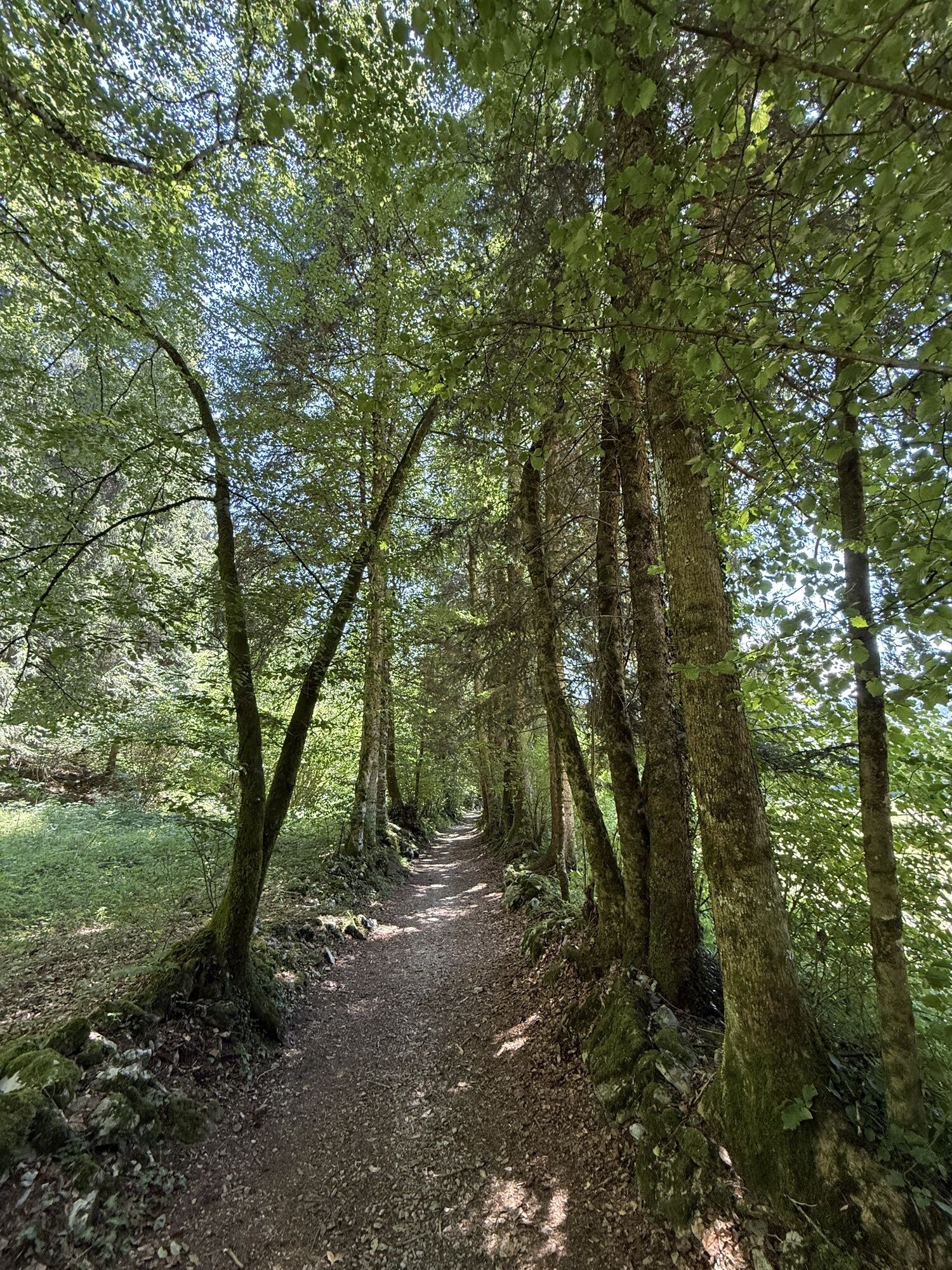
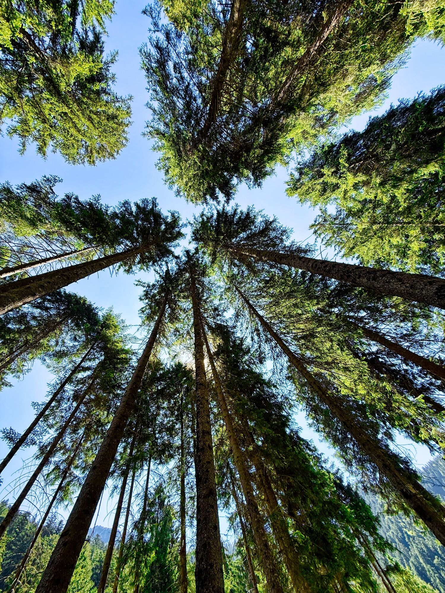
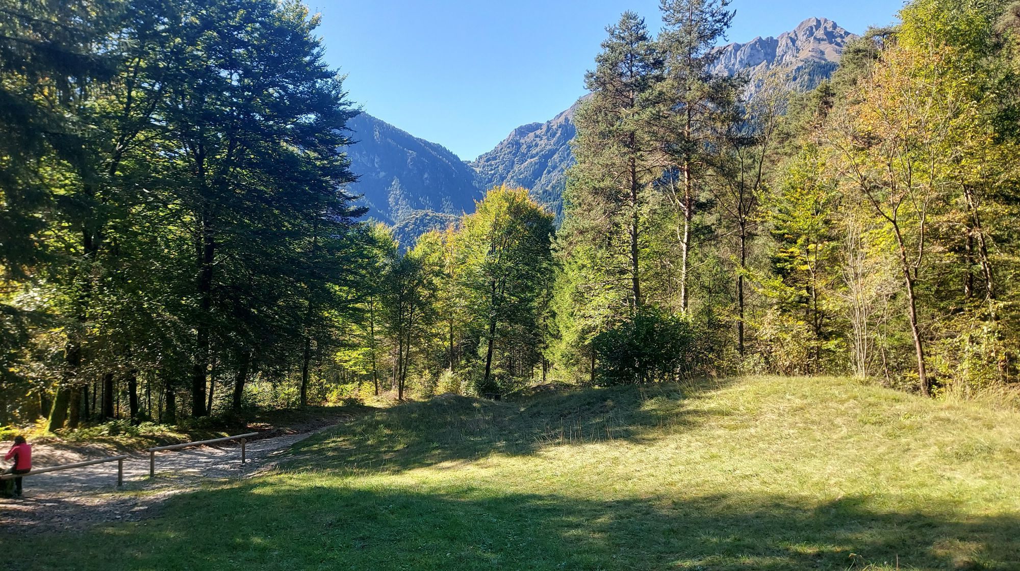
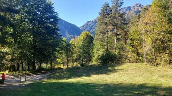
The woods provide shade and coolness even in the hottest summer months, the fields and huts of Palò form bucolic and picturesque features in the scenery, the Val Sorda turns white in the winter and becomes...
The woods provide shade and coolness even in the hottest summer months, the fields and huts of Palò form bucolic and picturesque features in the scenery, the Val Sorda turns white in the winter and becomes a cross-country skiing course.

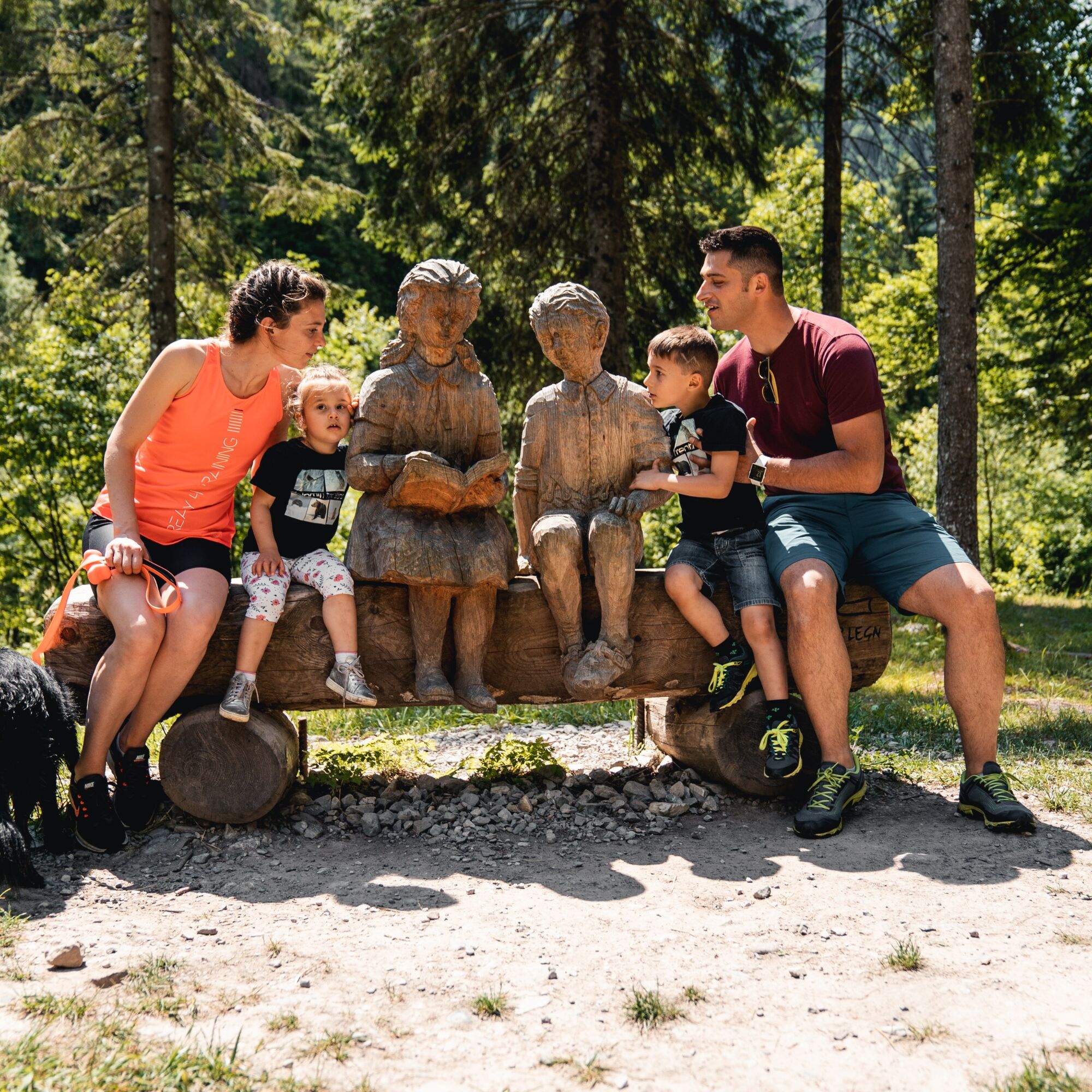
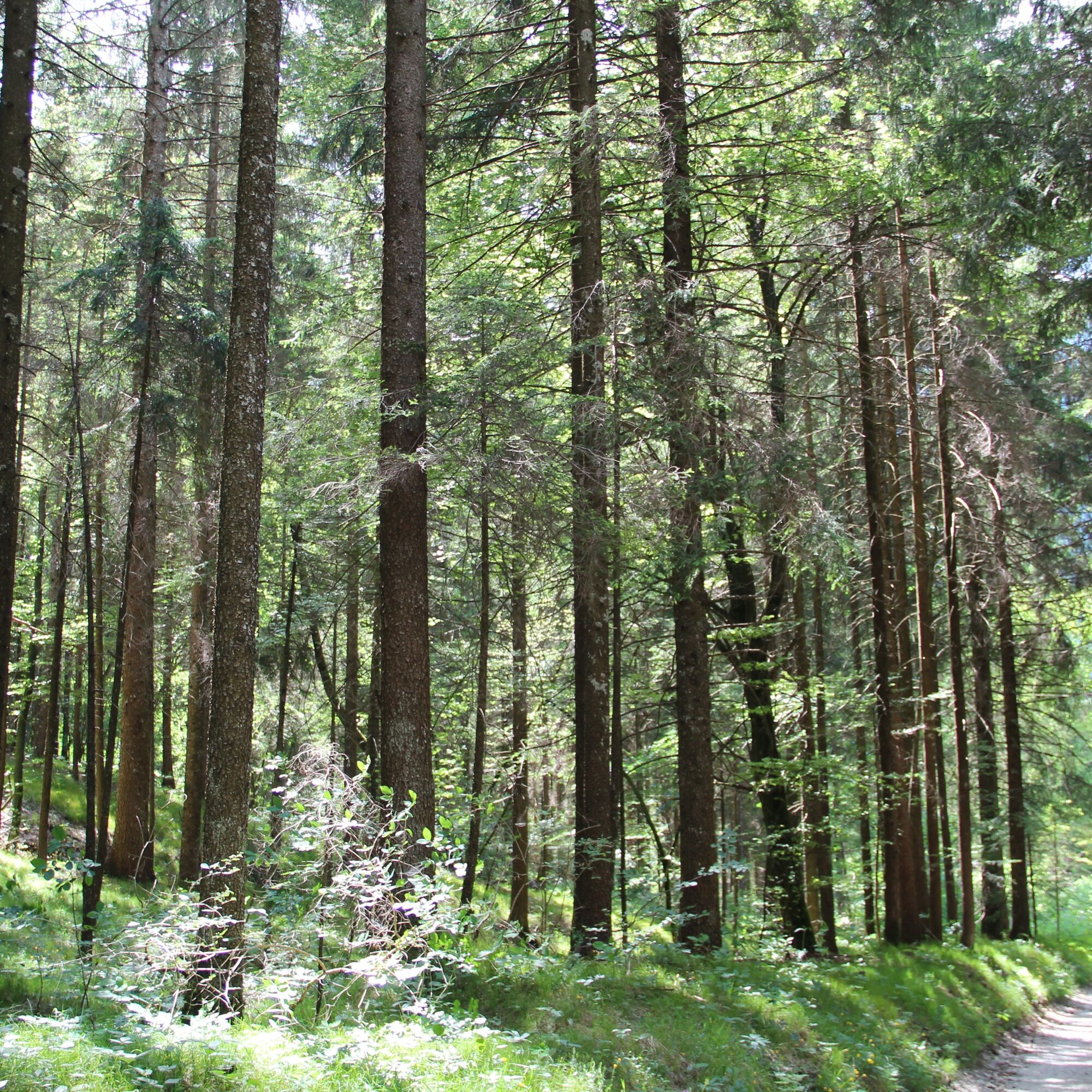
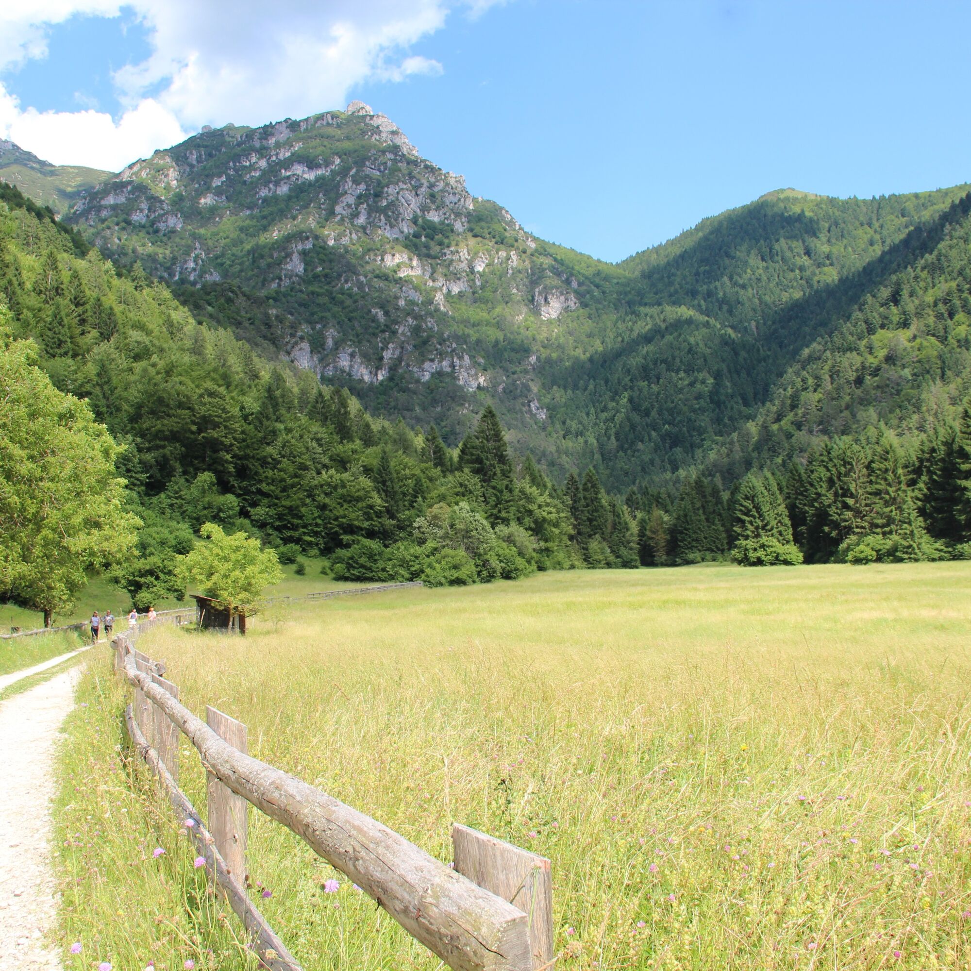
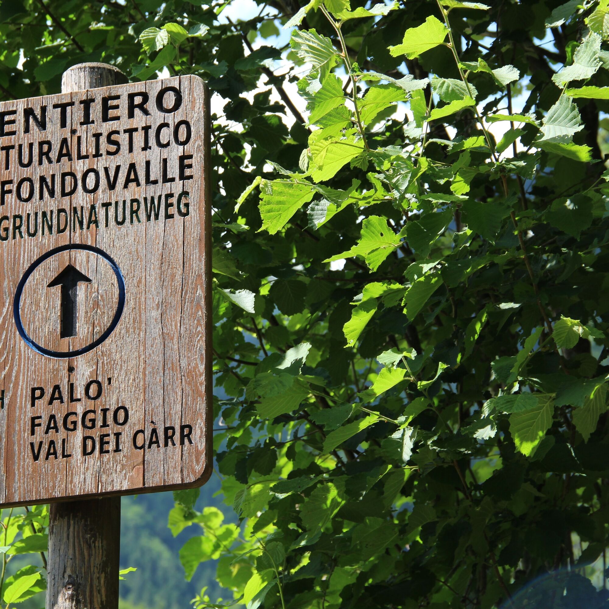
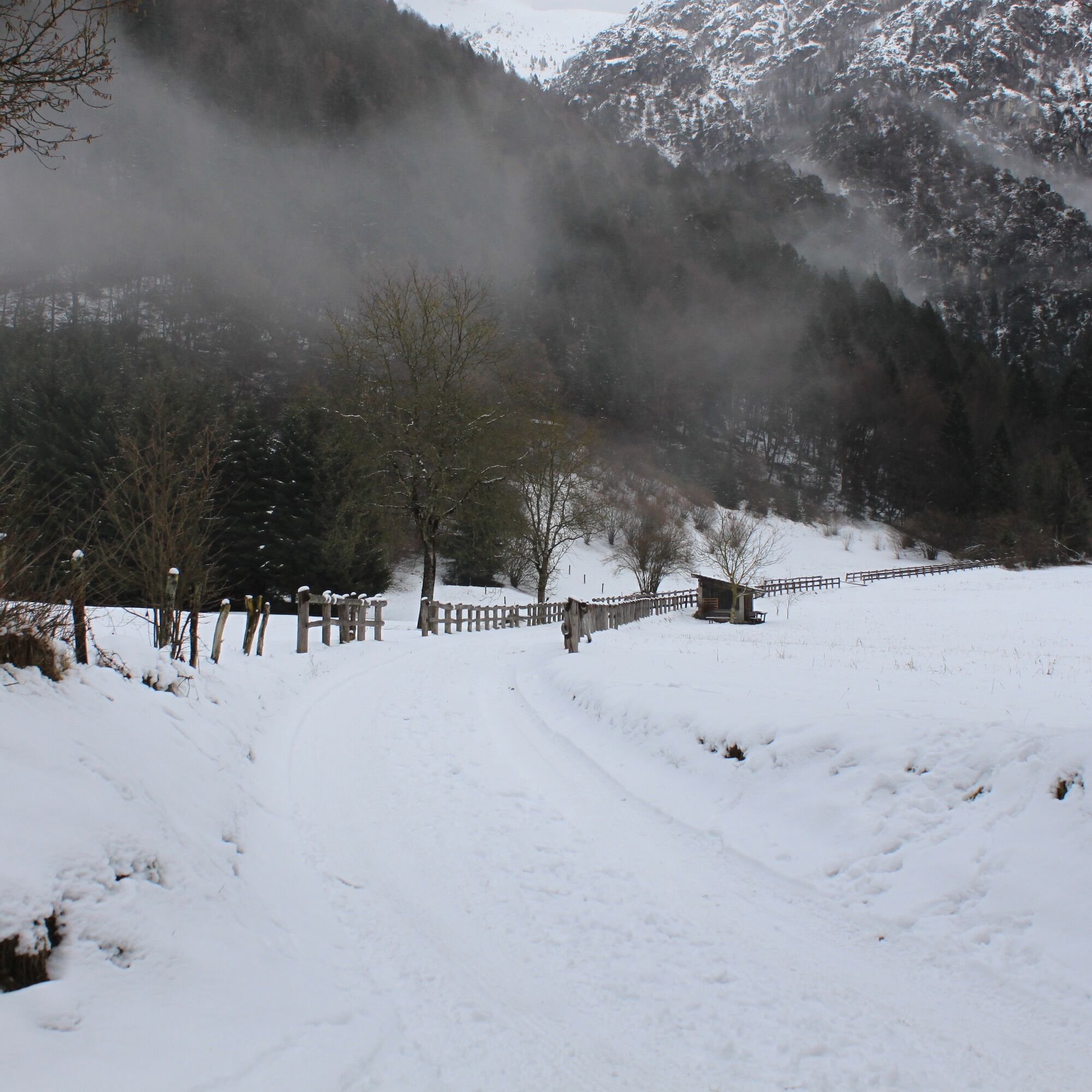
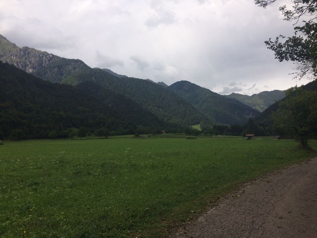
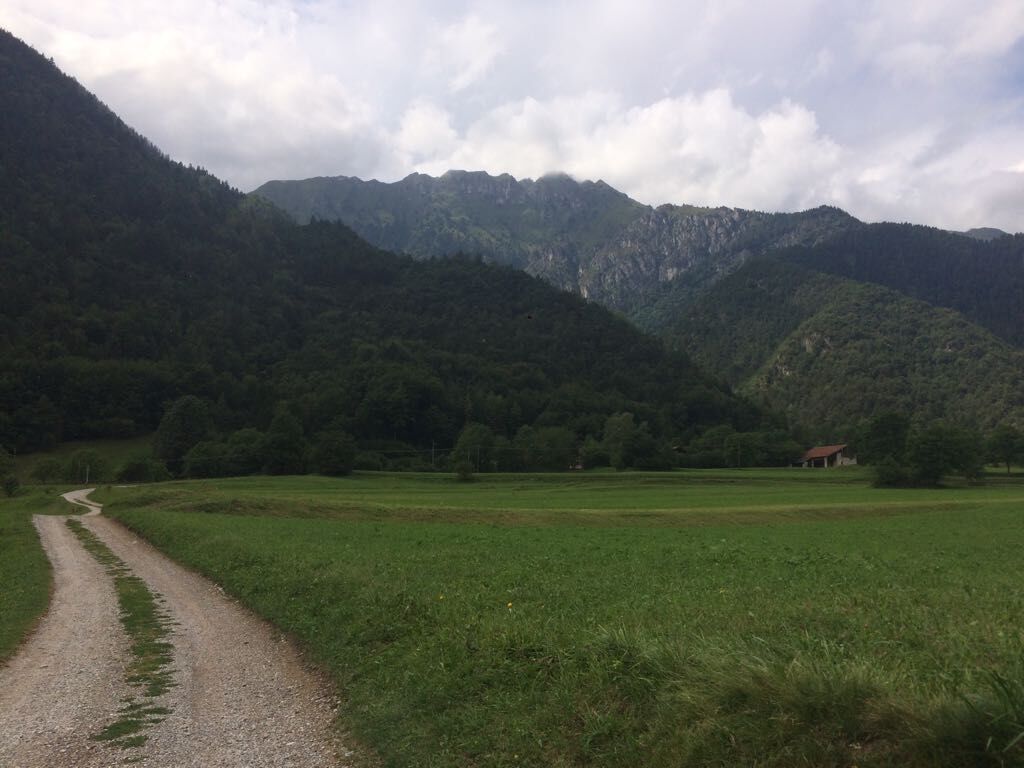
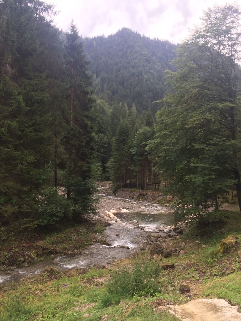
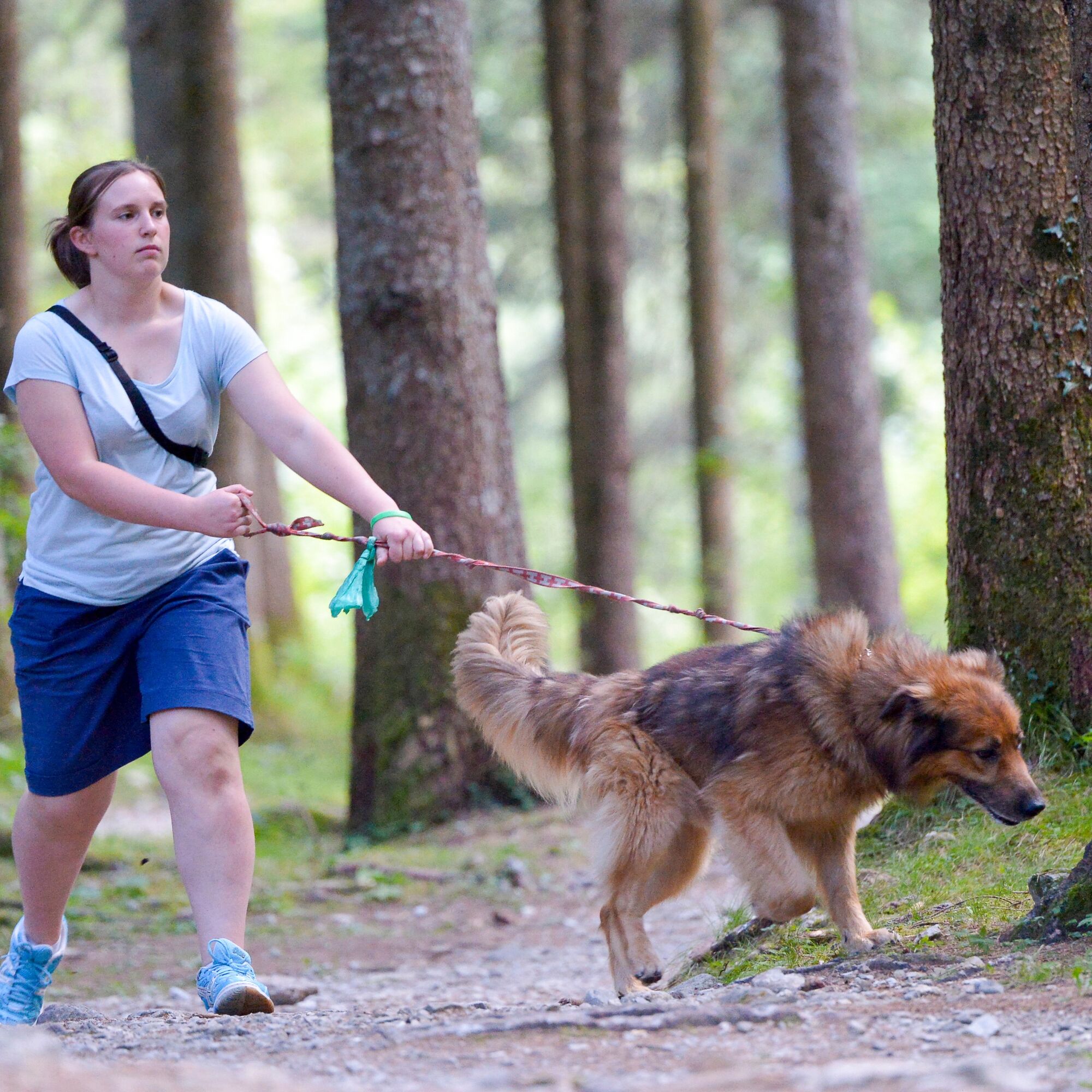
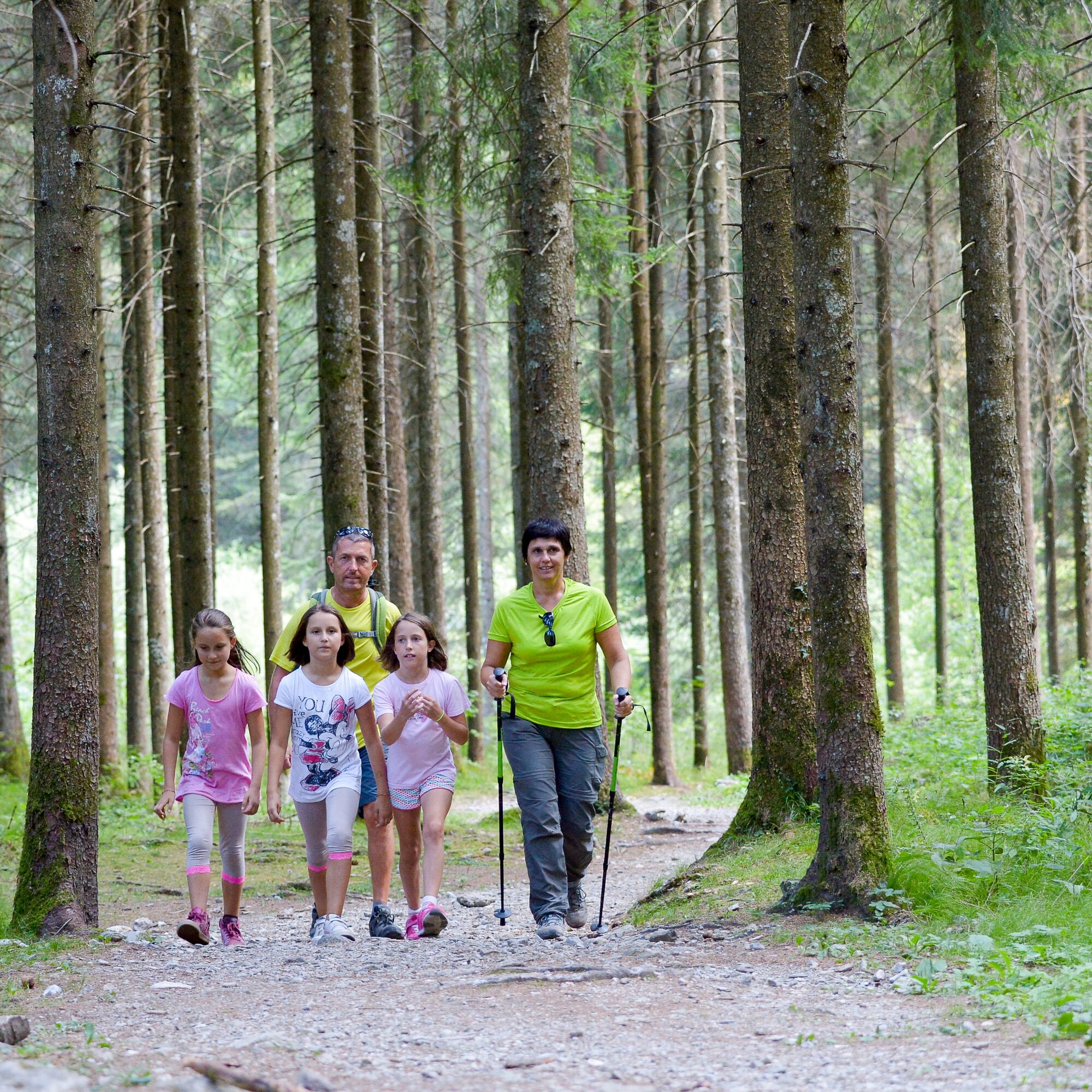
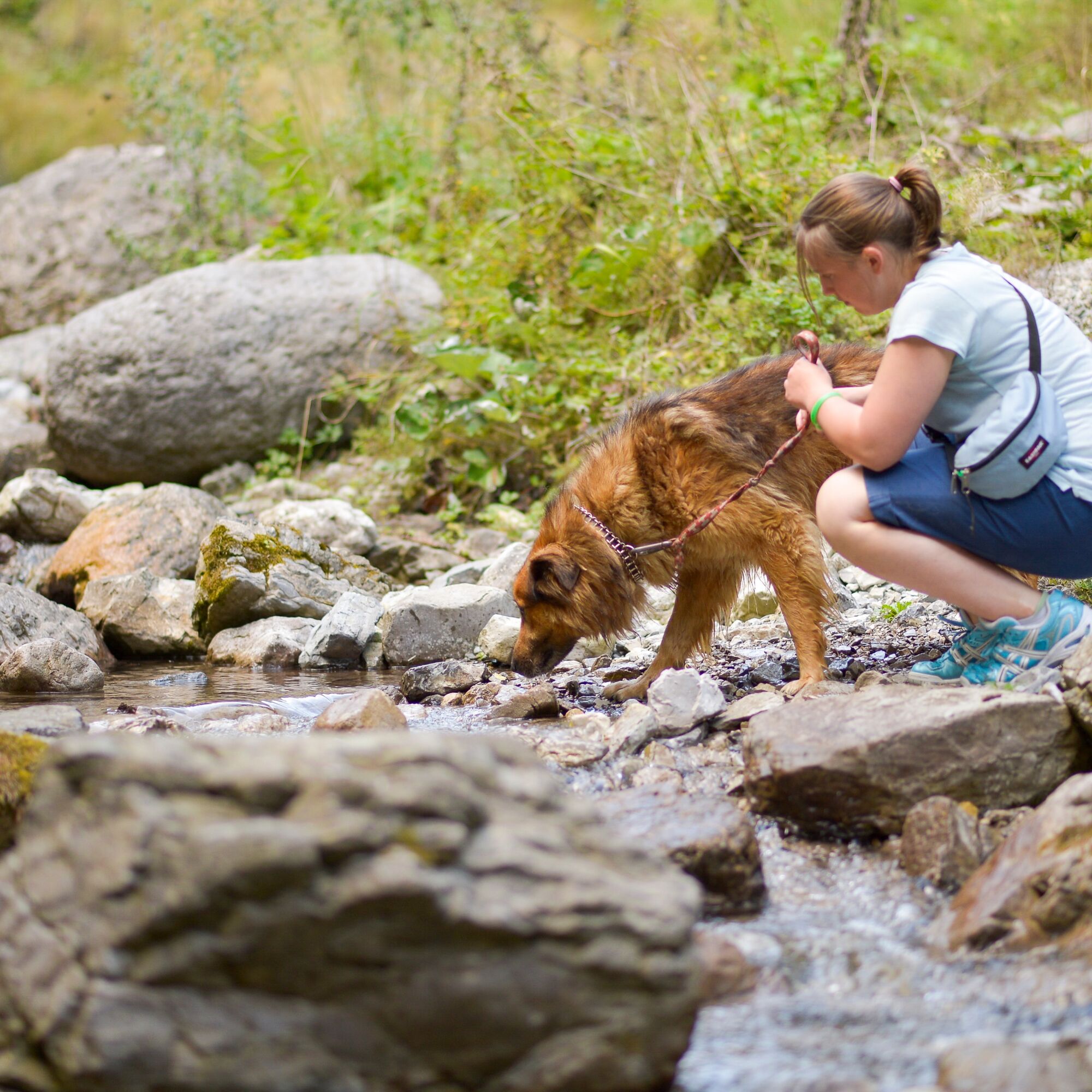
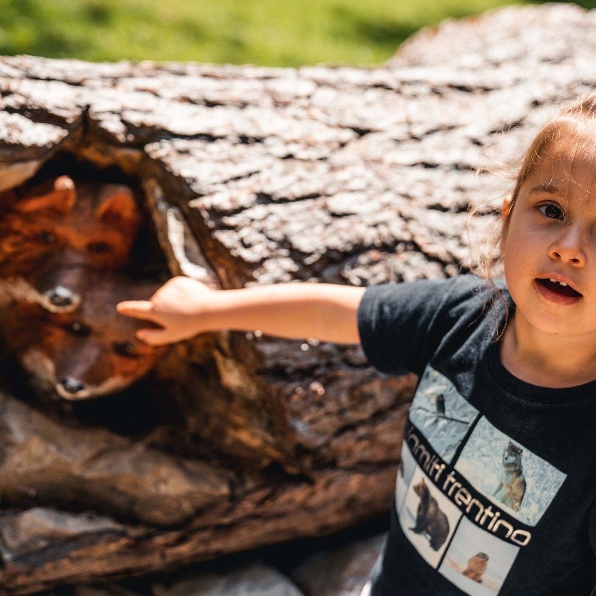
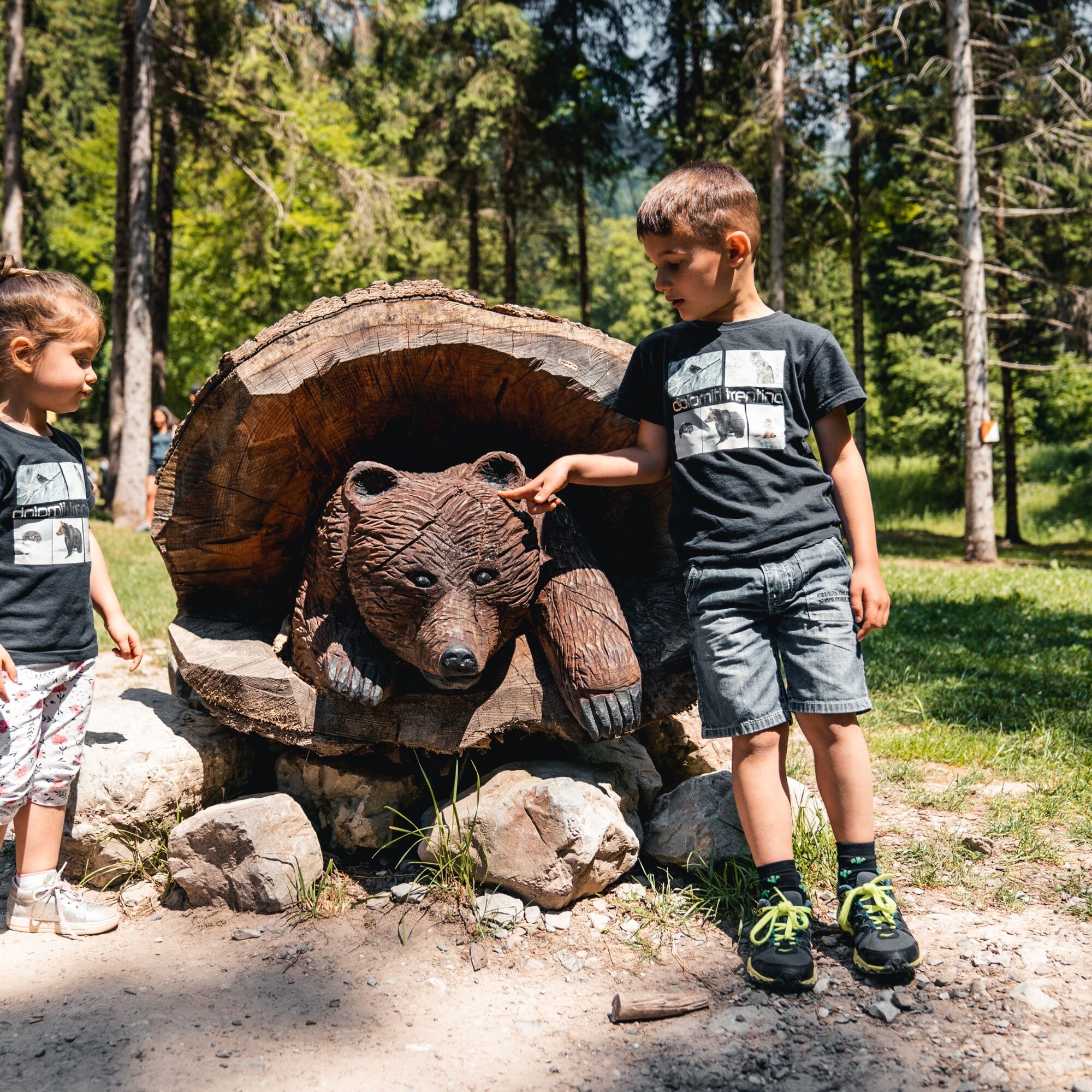
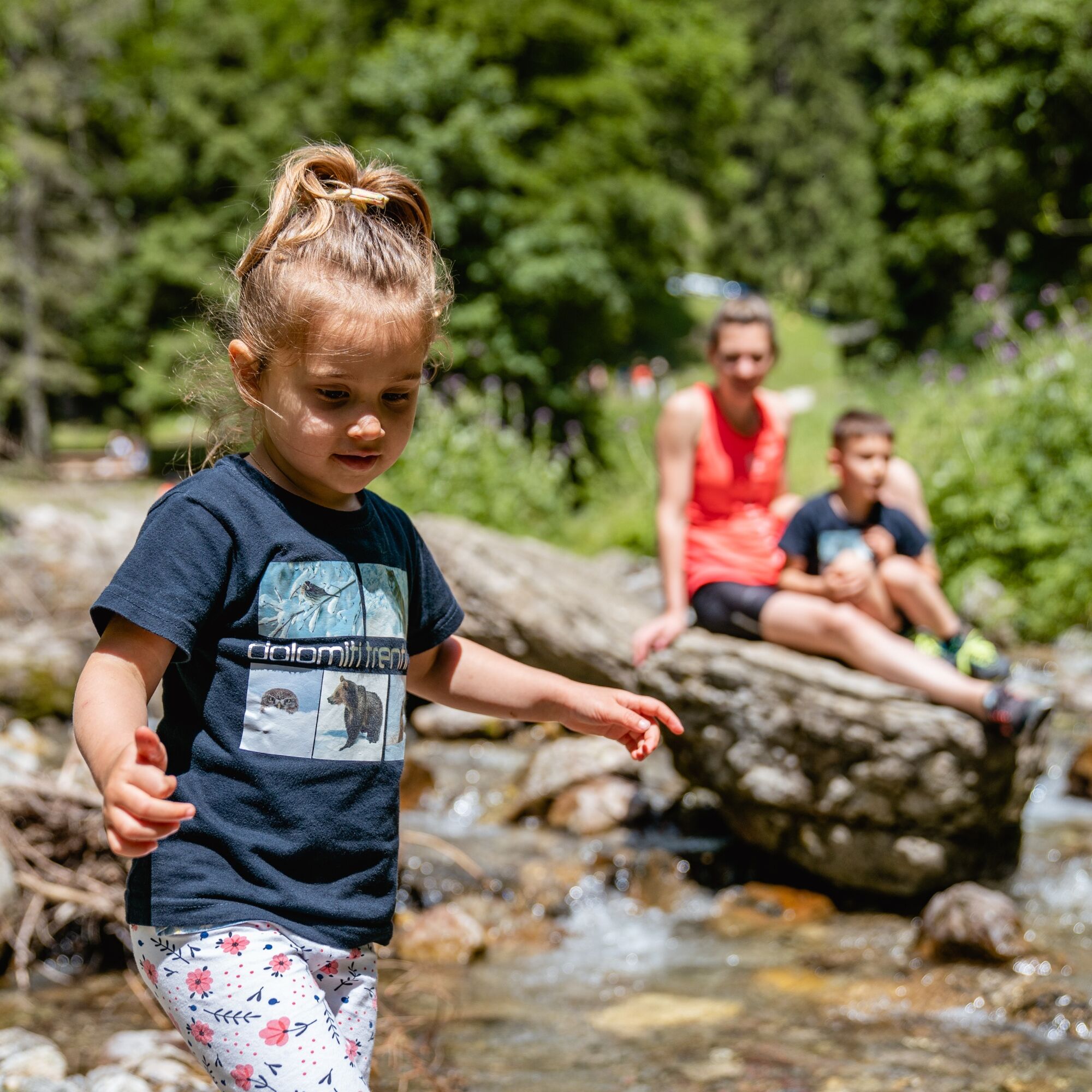
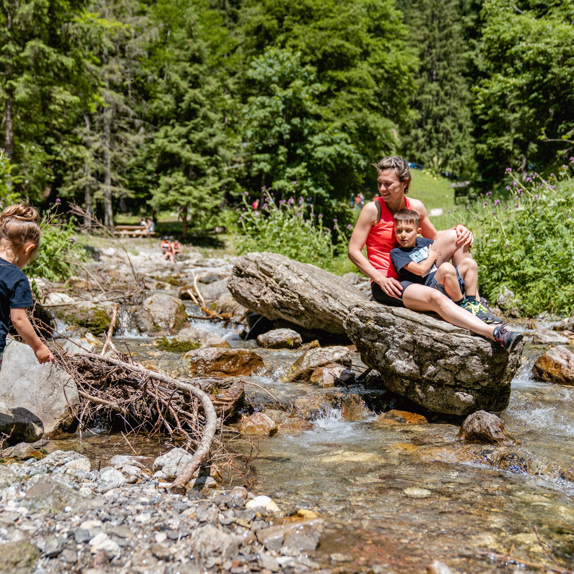
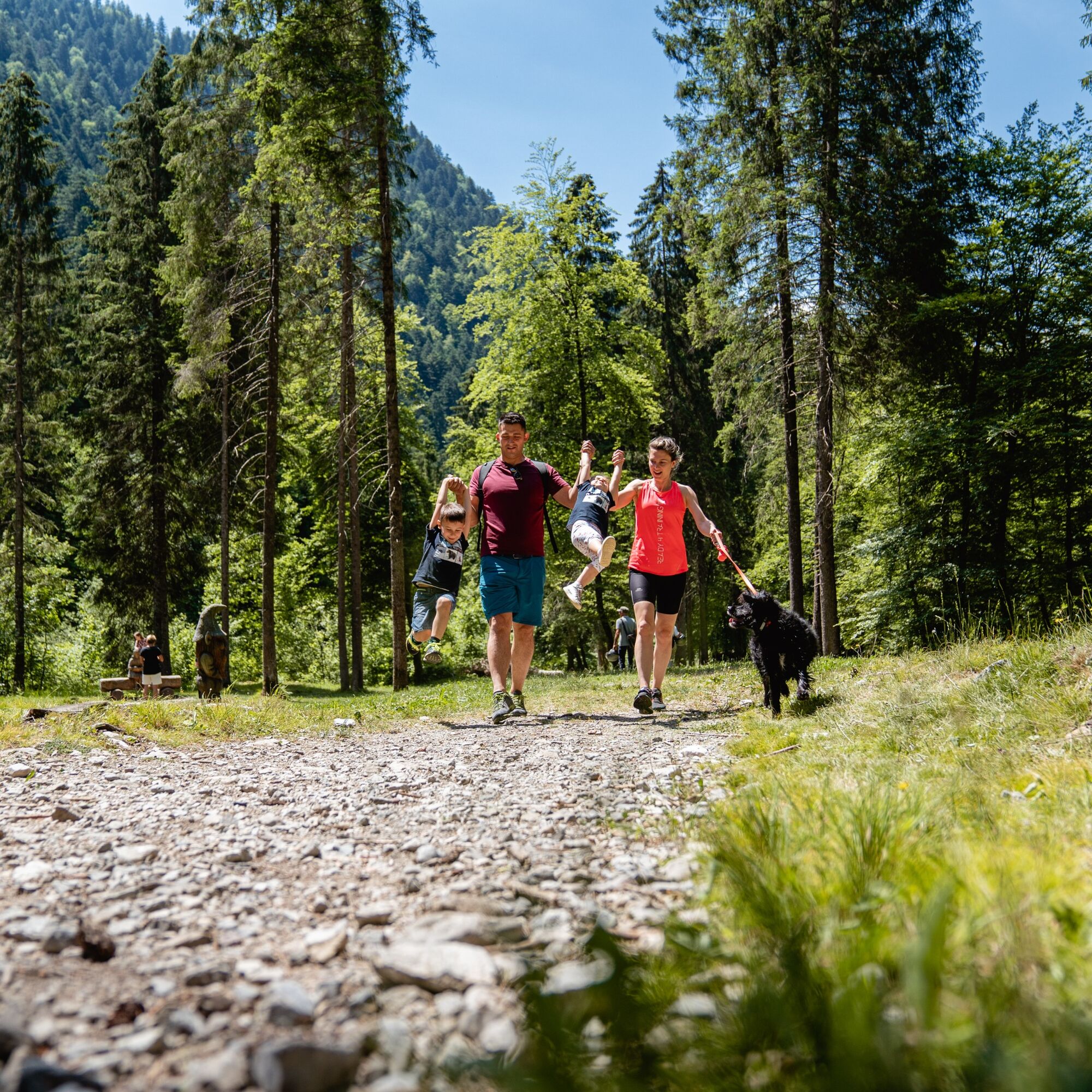
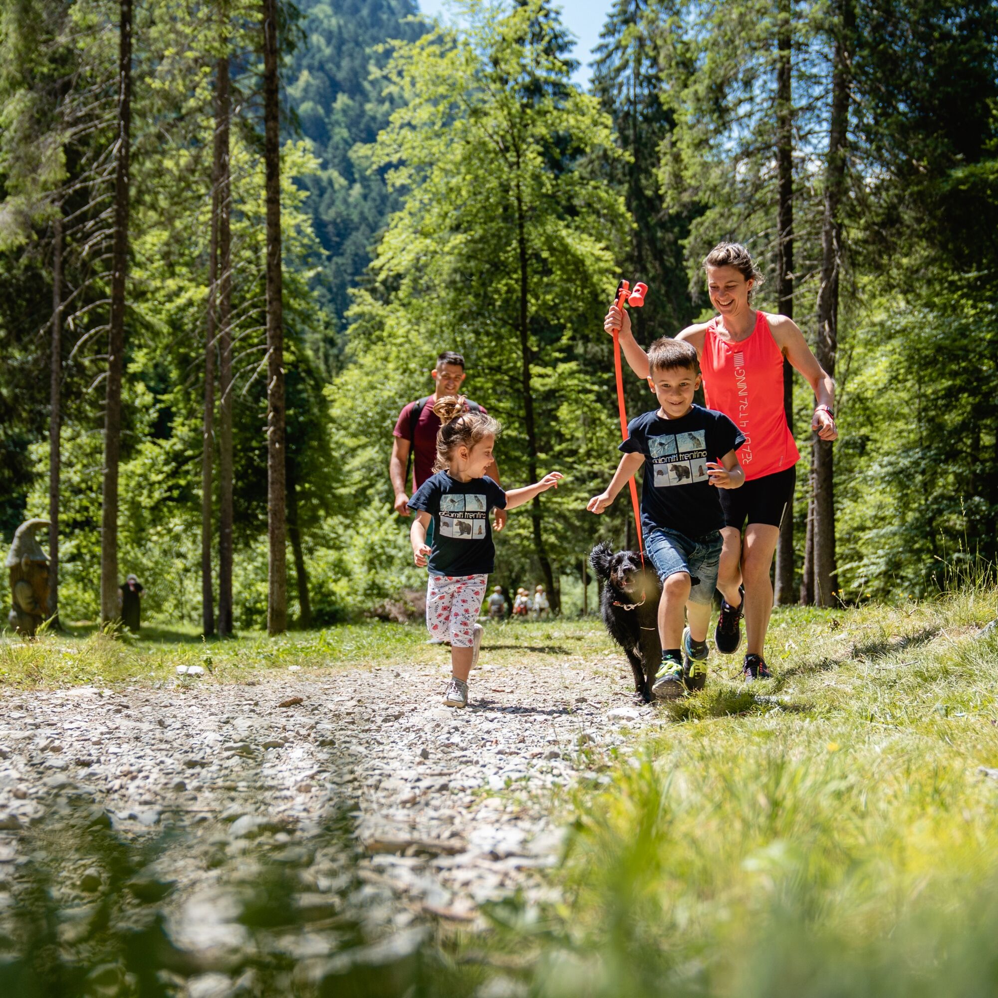

From the church turn into Via Bianchi, then right into Via III Giugno and finally into Via dei Lach. Walk past the small football pitch in Località Ciuco and turn into the naturalistic path. At the fork take the right path (sign: piste sci di fondo) and walk along the Val Sorda. At Palò turn right and proceed towards Rifugio Al Faggio. Walk back to Lenzumo, first on the asphalt road and then on the naturalistic path.
Da
This excursion is quite simple and presents no particular difficulty. However, we still recommend you to wear suitable footwear, a hat, sun screen and sunglasses. And be sure to bring water!
The telephone number for the emergency services is 112.
The information on this chart is subject to inevitable variations, so this means that none of the indications are absolute. It is not entirely possible to avoid giving inexact or imprecise information, given how quickly environmental and weather conditions can change. For this reason we decline any responsibility for changes which the user may encounter. In any case, the hiker is advised to check the conditions of the places, environment and weather before setting out.
Exit the A22 motorway at Rovereto Sud – Lago di Garda. Follow the SS240 della Val di Ledro to Lenzumo.
Find out how to reach Garda Trentino.
Valle di Ledro is connected to Riva del Garda by the intercity bus line 214 (Riva-Valle di Ledro-Storo).
Car park in front of the graveyard in Lenzumo (Via della Vasca).
Rifugio Al Faggio is named after the huge tree which grows near it, the oldest in Valle di Ledro!
 Pridobite vpogled Vedno v živo na mestu z več kot 9.500 spletnimi kamerami. bergfex Kot uporabnik Pro si lahko zdaj ogledate ustrezne spletne kamere za številne izlete v aplikaciji izleti iz. Tako si lahko neposredno ogledate trenutne razmere.

Priljubljeni izleti v okolici
- 5.0
Bastione and Santa Barbara, the lords of Riva del Garda
srednjaPohodništvo 2.94 km - 5.0
Via Ferrata Signora delle Acque - Rio Ruzza
težkoVia ferrata 5.32 km - 4.8
Sentiero Busatte Tempesta
svetlobaPohodništvo 7.90 km - 4.8
Bocca Fortini - Tour
težkoMountainbike 35.4 km - 4.7
Via Ferrata Fausto Susatti - Cima Capi (from Ledro)
srednjaVia ferrata 7.11 km - 4.6
Via Ferrata delle Laste e Gallerie di Cima Rocca
svetlobaVia ferrata 6.38 km - 4.5
Walking around Lake Ledro
svetlobaPohodništvo 9.40 km - 4.9
Via Ferrata dell’Amicizia - Cima SAT
srednjaVia ferrata 4.41 km - 4.4
Tremalzo Big - Tour
težkoMountainbike 45.6 km - 4.8
Ponale Path (from Ledro)
srednjaPohodništvo 10.8 km
Pohodništvo in sledenje


Ne zamudite ponudb in navdiha za naslednje počitnice
Vaš e-poštni naslov je bil dodan na poštni seznam.





