







Between suburbs, hamlets and prehistory: from Melta to Martignano
The itinerary connects the northern part of Trento, born during the recent urban expansion (dated back to the last two decades of the last century), with the historic suburb of Martignano, characterised...
The itinerary connects the northern part of Trento, born during the recent urban expansion (dated back to the last two decades of the last century), with the historic suburb of Martignano, characterised by wide antique vineyards.
Nevertheless, the real historic surprise of the trail is Riparo Gaban in the middle of the ascent. It is an important archeological site that shows how these places have been attended by men for more than 10.000 years. Indeed, thanks to the rich stratigraphy it is possible to trace men presence from the Mesolithic to the Bronze Age, witnessed by marvellous artefacts and votive objects.
Along the first part of the path it is possible to appreciate other interesting aspects of the local landscape. From above the first stretch that runs alongside the Solteri quarter you can see one of the last cultivated red stone quarries of Trento. It is one of the last craft laboratories for stonework, material once used to build most parts of the historic city and the 19thcentury city.
Immediately after that, going back to the plain, you will pass by Melta park, a big contemporary urban park that answers to the contemporary need of recreational and green areas.
Going up to the hill and leaving Melta's houses, you will finally enter the terraced vineyards' landscape that is typical of the hillside between Centochiavi and Martignano. The exposure and the soil have favoured the presence of wide cultivations of vines that, where the ground is steeper, are placed on big terraced steps.
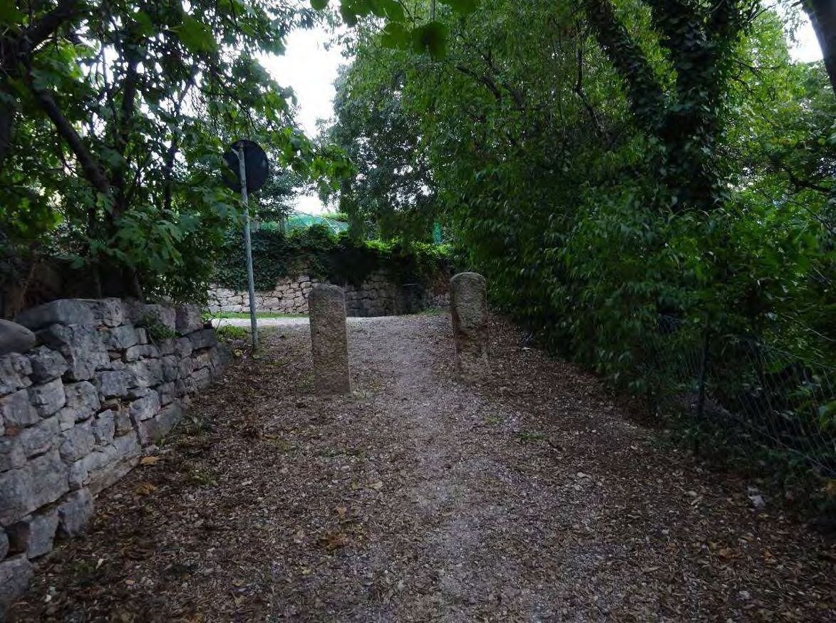
The street that winds between the countryside allows a unique view on the spontaneous local flora and crops: clematis vitalba and ivy-covered walls, maples, manna ashes, hazelnut trees and other local essences of the lean sunny slopes.
On the trail you will find some historic buildings (the Chapel of Casa Angeli and the Church of S. Isidoro) that show how the hill was a place of expansion and representation of the rural nobility and the rich city bourgeois during the 17th-18thcentury.
At the end you will reach the square of Martignano, commonly knows as square of "Canopi" (i.e. the old miners that used the metallic resources of Argentario and Calisio) and you will finish your walk in the beautiful garden that surrounds the suburb's multifunctional center.
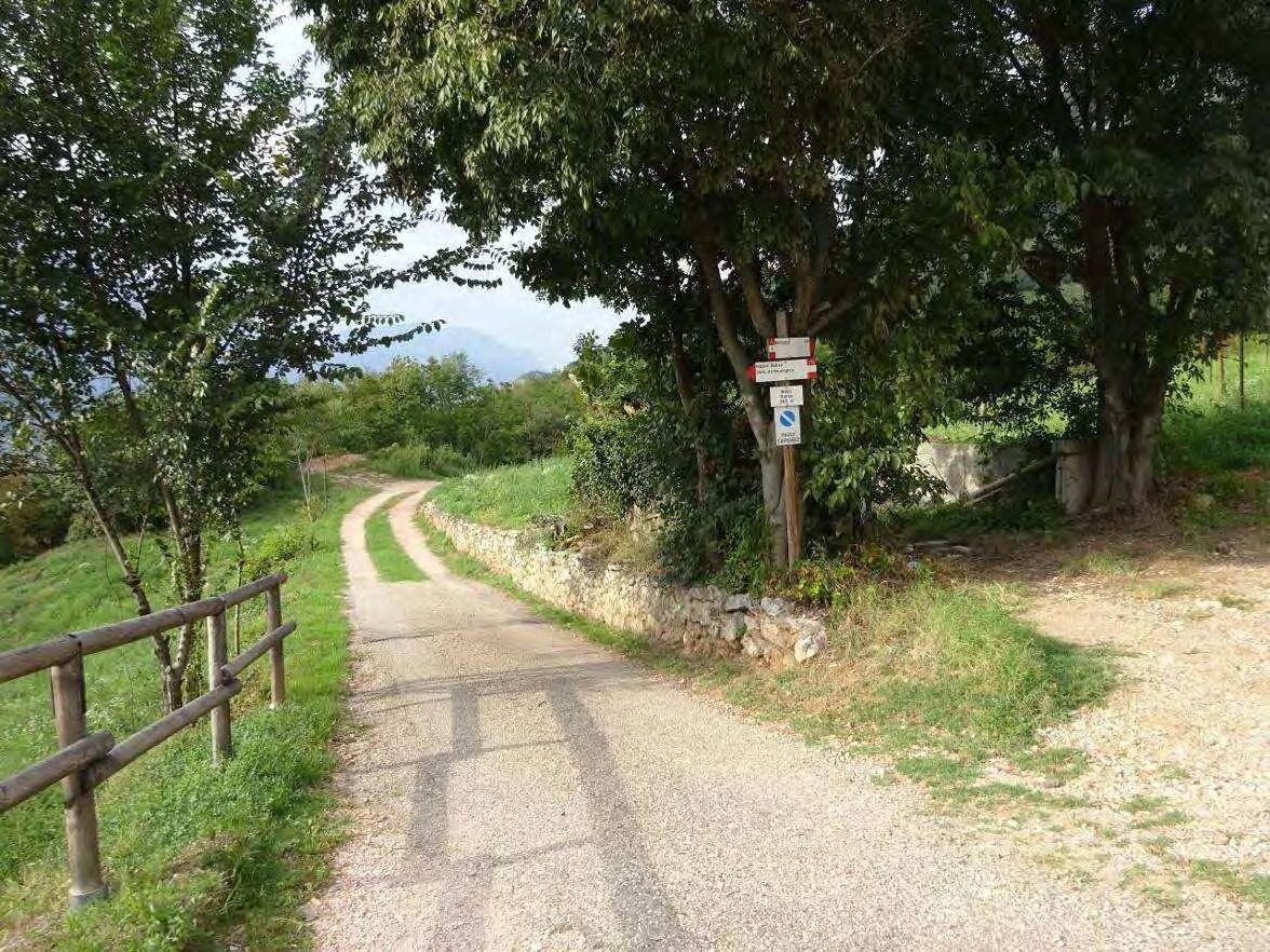
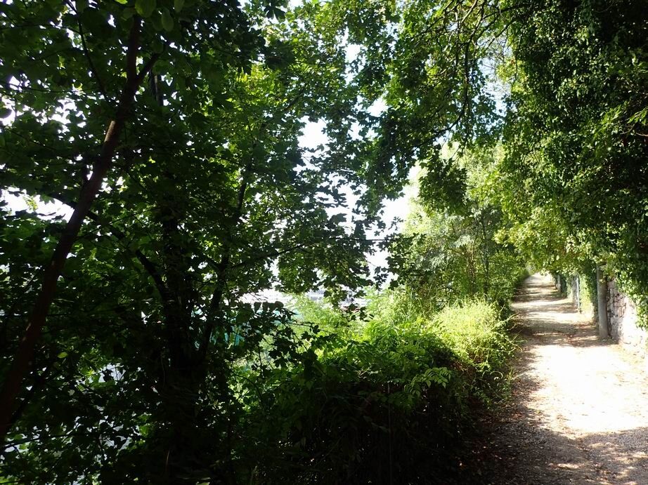
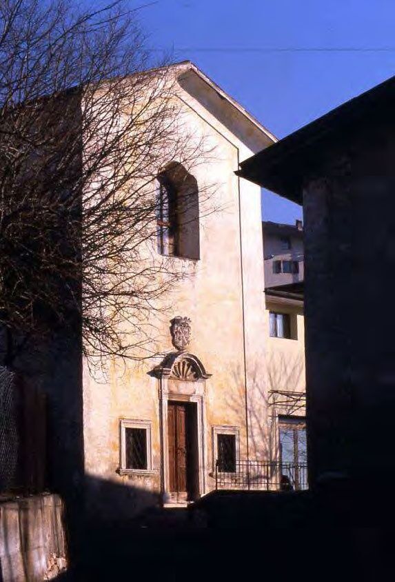
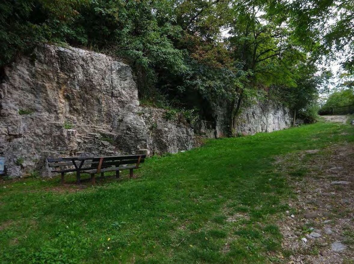

Go down Via Dallafior and after Melta Park go up to via Carneri, crossing the locality of Melta, and then go up via Maso Sizzo and via Sabbionare until you reach the centre of the suburb of Martignano. From here you can easily reach Martignano Garden.
Comfortable shoes and good company.
The information on this page is subject to change, so this means that none of the indications are absolute. It is impossible to completely avoid inaccuracies, taking into consideration the rapid environmental and weather changes that may occur. Therefore, we decline any responsibility for any damage caused to the visitor. However, it is strongly suggested to check the path state, the environmental and weather conditions before going on an excursion.
The Network of Bondone Nature Reserves is not responsible for the management and maintenance of the trails. Therefore, we decline any responsibility for damages that can occur to people, animals or objects.
Prepare your itinerary
Choose a trail suitable for your training
Choose adequate equipment
Consult weather reports
Going alone is riskier
Leave information about your itinerary and the time you expect to get back
Do not hesitate to go with an expert
Mind the indications and signages on the path
Do not hesitate to go back the same way you came
In case of an accident call the standard emergency number 112
For further information go to Trentino trasporti S.p.A.
The trail can be done in every season; considering the sun exposure it is preferable to do it in the afternoon during cold months, while in the morning during spring and summer.
Pridobite vpogled Vedno v živo na mestu z več kot 9.500 spletnimi kamerami. bergfex Kot uporabnik Pro si lahko zdaj ogledate ustrezne spletne kamere za številne izlete v aplikaciji izleti iz. Tako si lahko neposredno ogledate trenutne razmere. Priljubljeni izleti v okolici
- 3.5
Rio Secco (D)
Via ferrata 2.42 km - 4.6
The Calavino Water Channel
srednjaPohodništvo 3.79 km - 5.0
Via Ferrata Rino Pisetta - Dain Piccolo
težkoVia ferrata 5.89 km - 4.7
4.The Sarca Valley and Lake Cavedine: from Arco to Sarche
svetlobaKolesarjenje 36.6 km - 3.0
Tre Cime del Bondone
srednjaPohodništvo 10.4 km - 4.2
Caldonazzo - Levico
srednjaKolesarjenje 18.9 km - 5.0
Garda Trentino Discover
srednjaKolesarjenje 58.7 km - 4.8
San Lorenzo Dorsino - Ponte Romano - Molveno
svetlobaPohodništvo 10.6 km - 4.7
Molveno - Ponte Romano - Parco giochi
svetlobaTek 11.4 km - 4.5
Prati di Prada and the Lakes of Lamar
svetlobaPohodništvo 8.05 km

Pohodništvo in sledenje


Ne zamudite ponudb in navdiha za naslednje počitnice
Vaš e-poštni naslov je bil dodan na poštni seznam.





