






Col Margherita - Geological Trail - Lake Cavia - San Pellegrino Pass

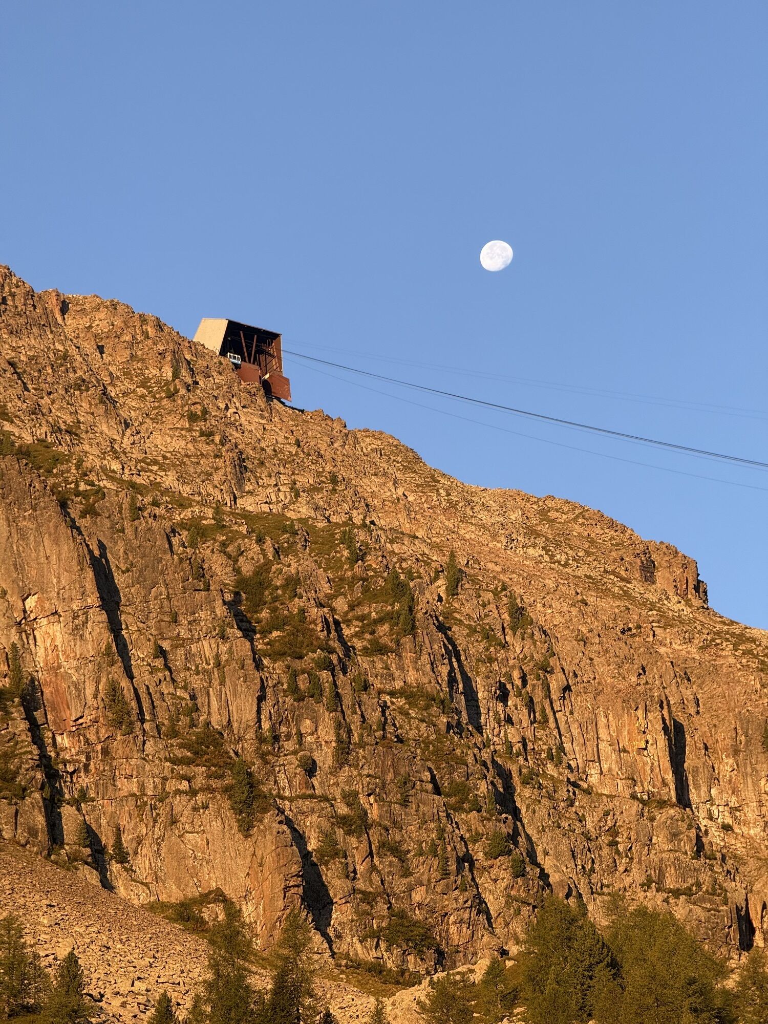
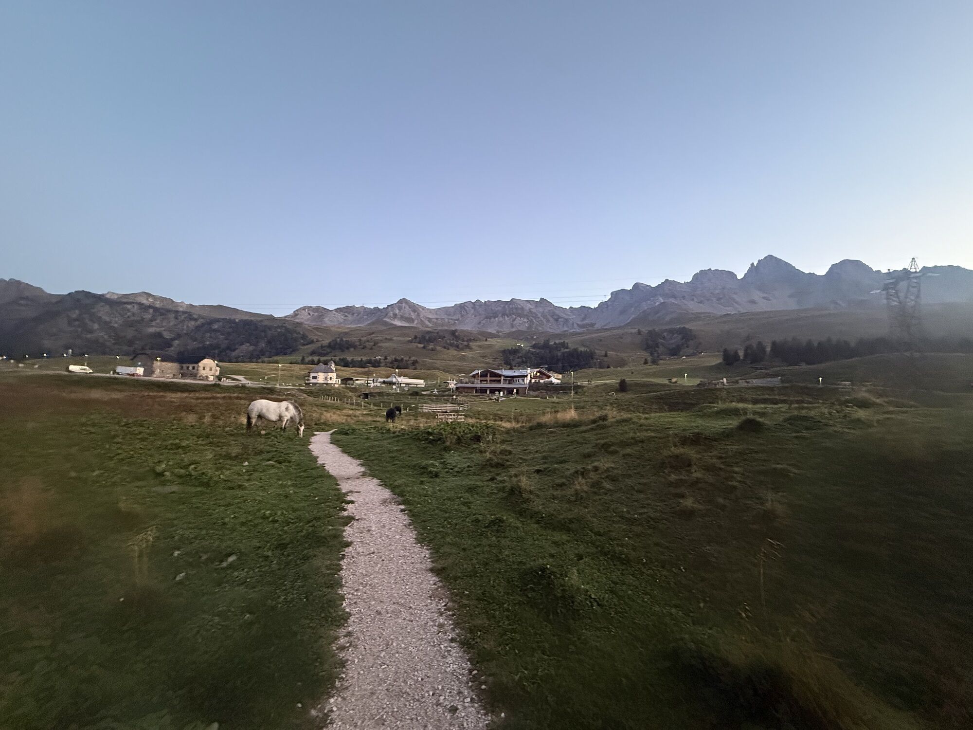
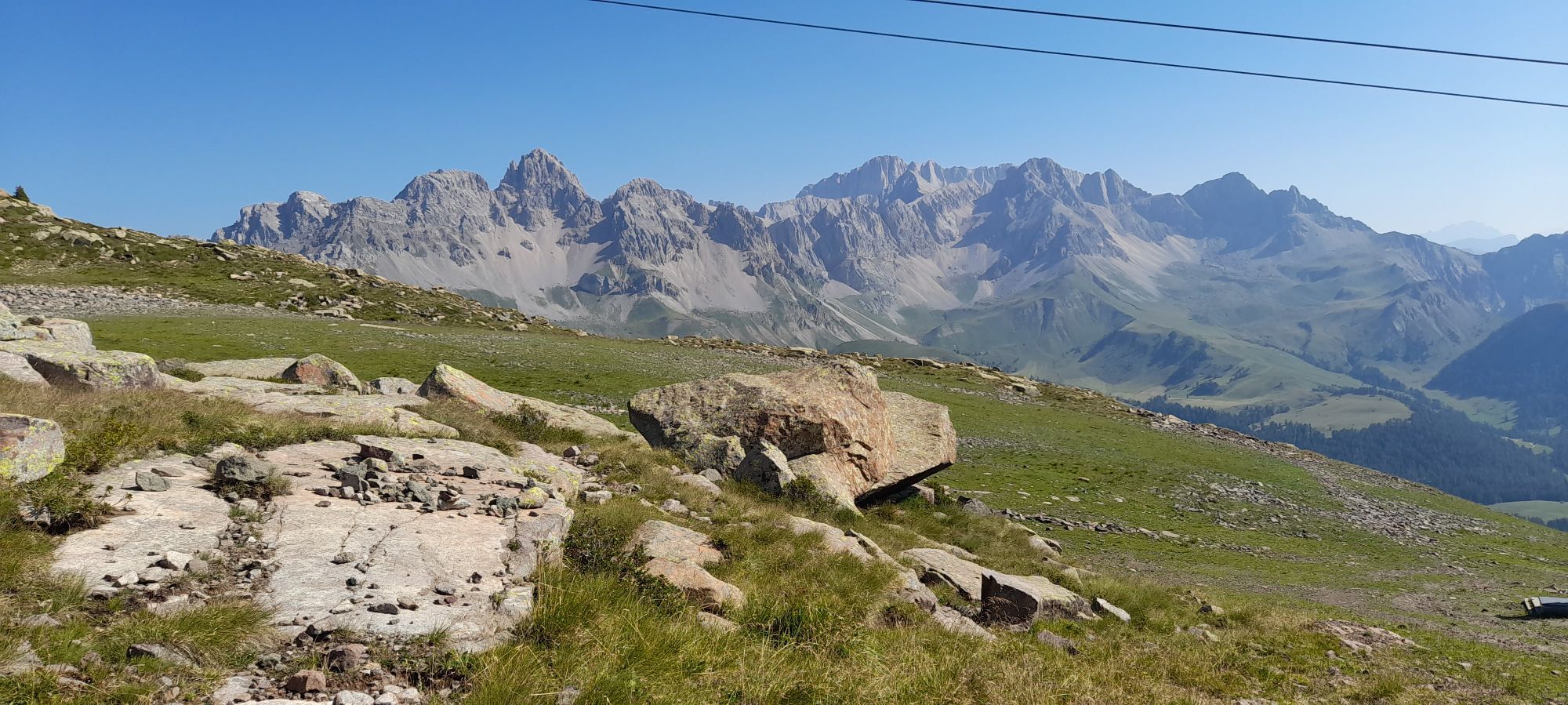
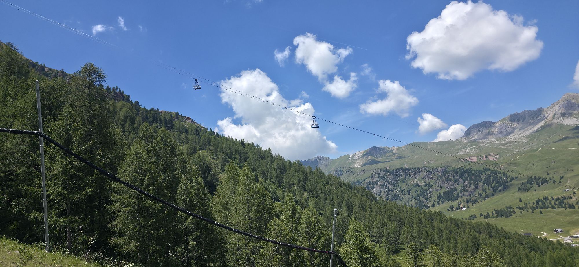
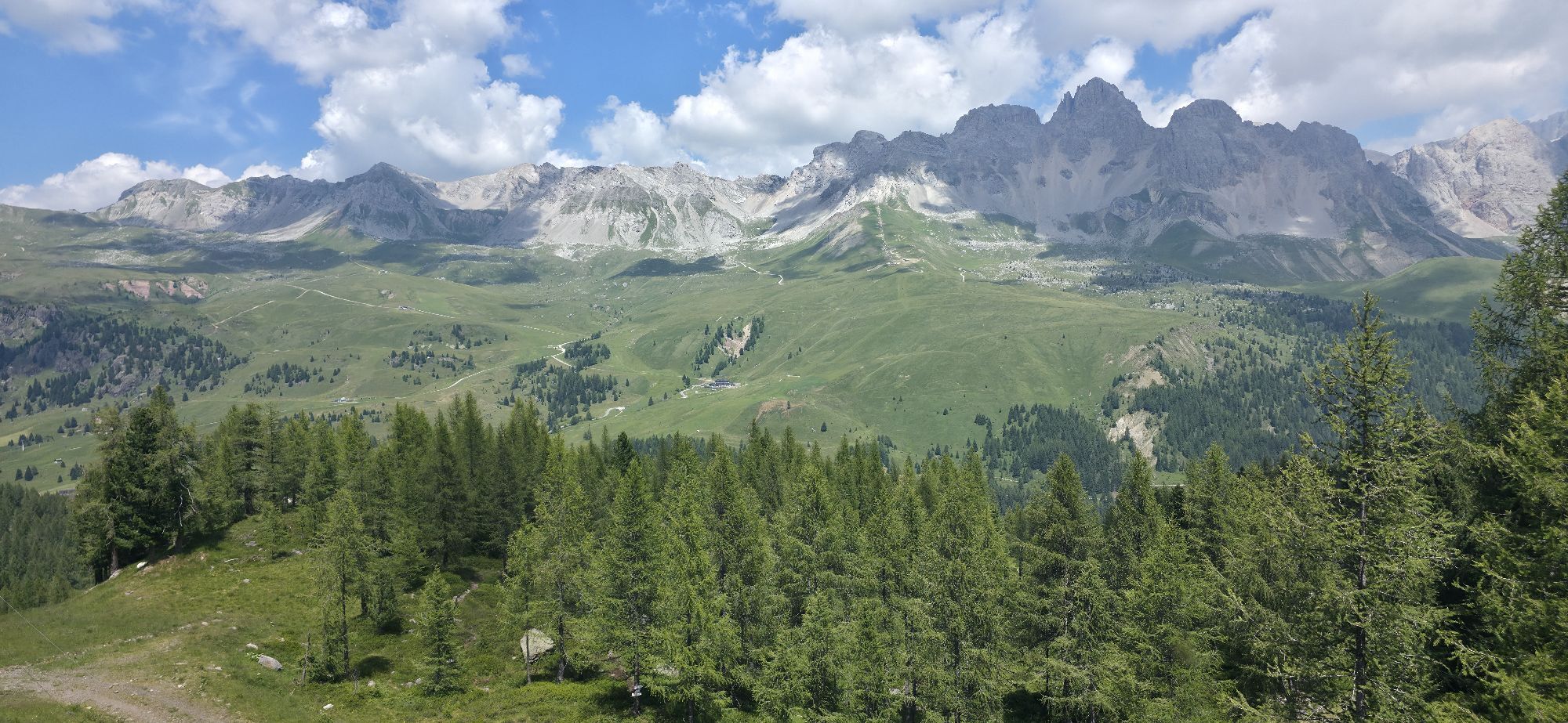
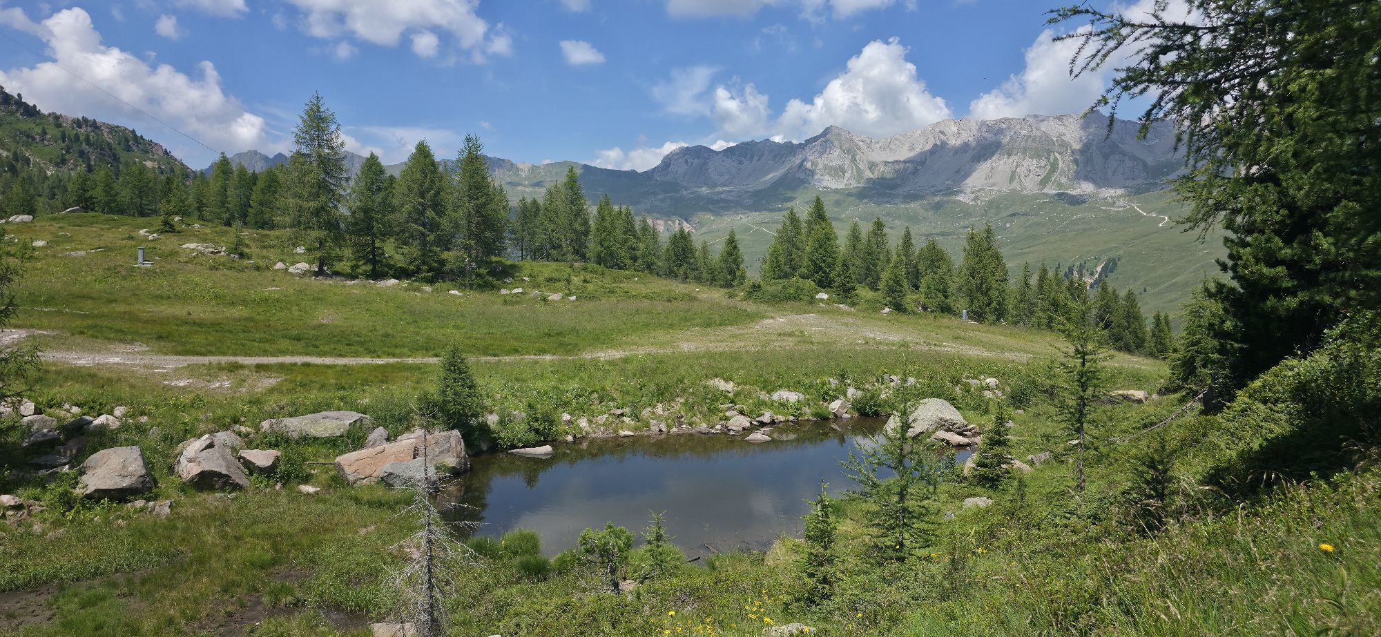
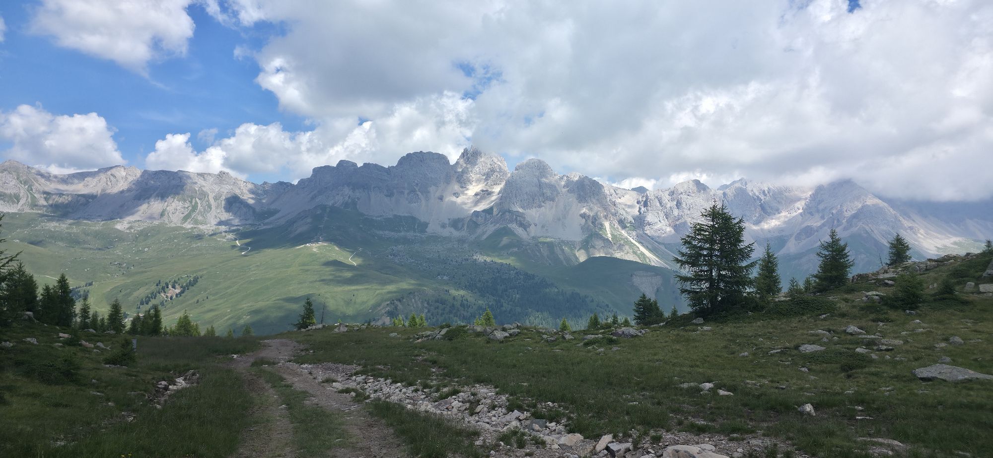
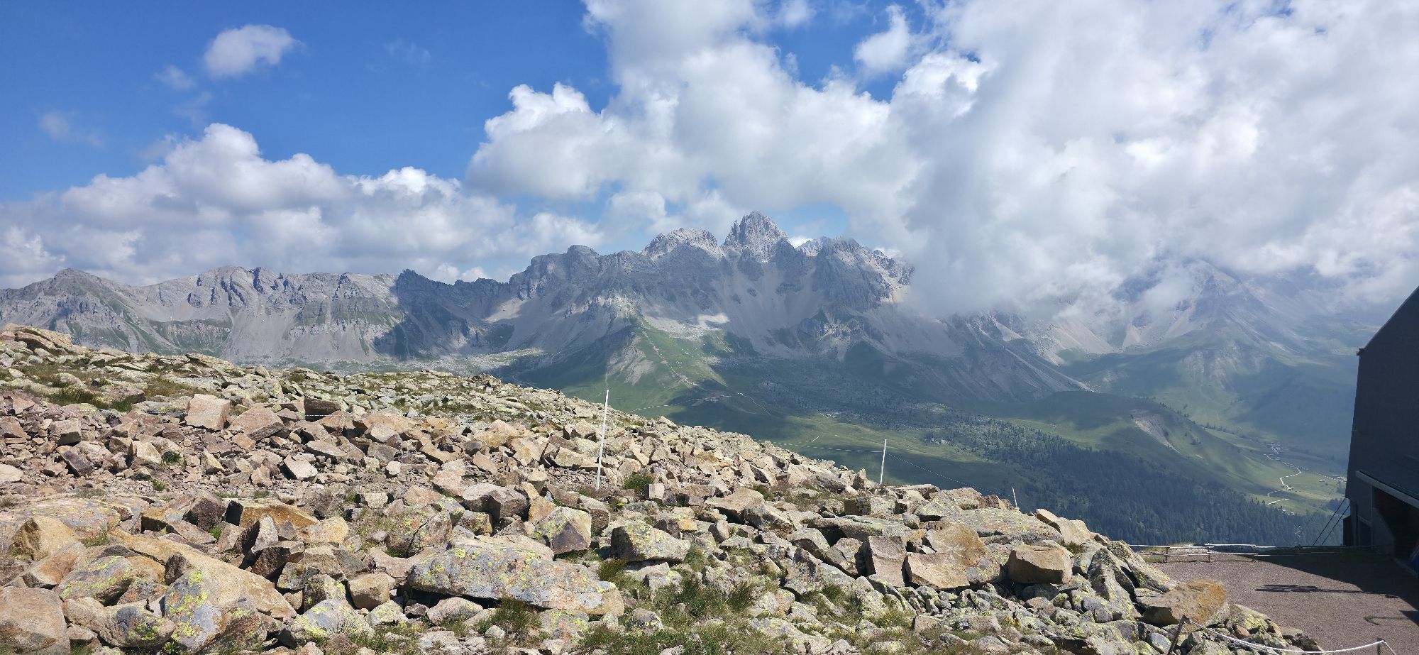
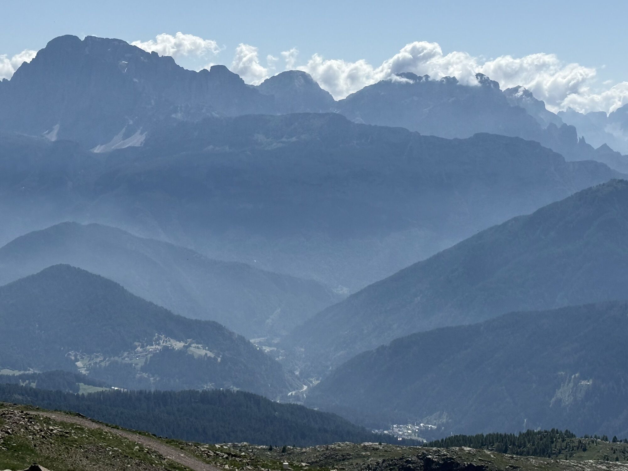
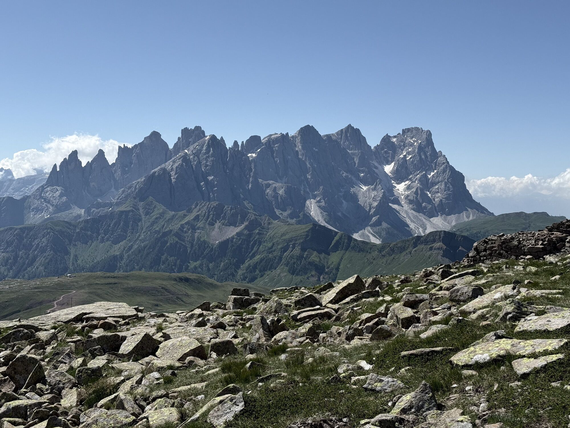
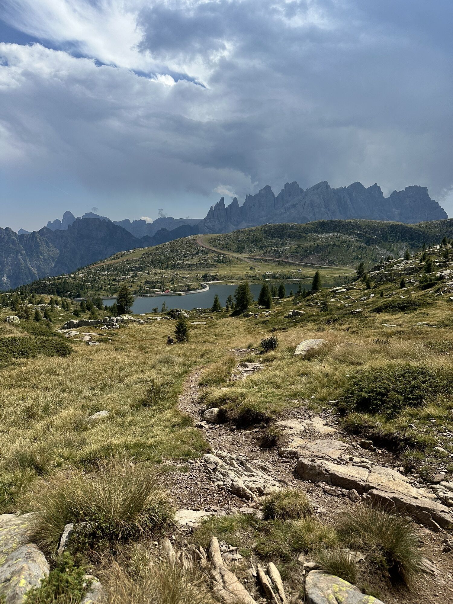
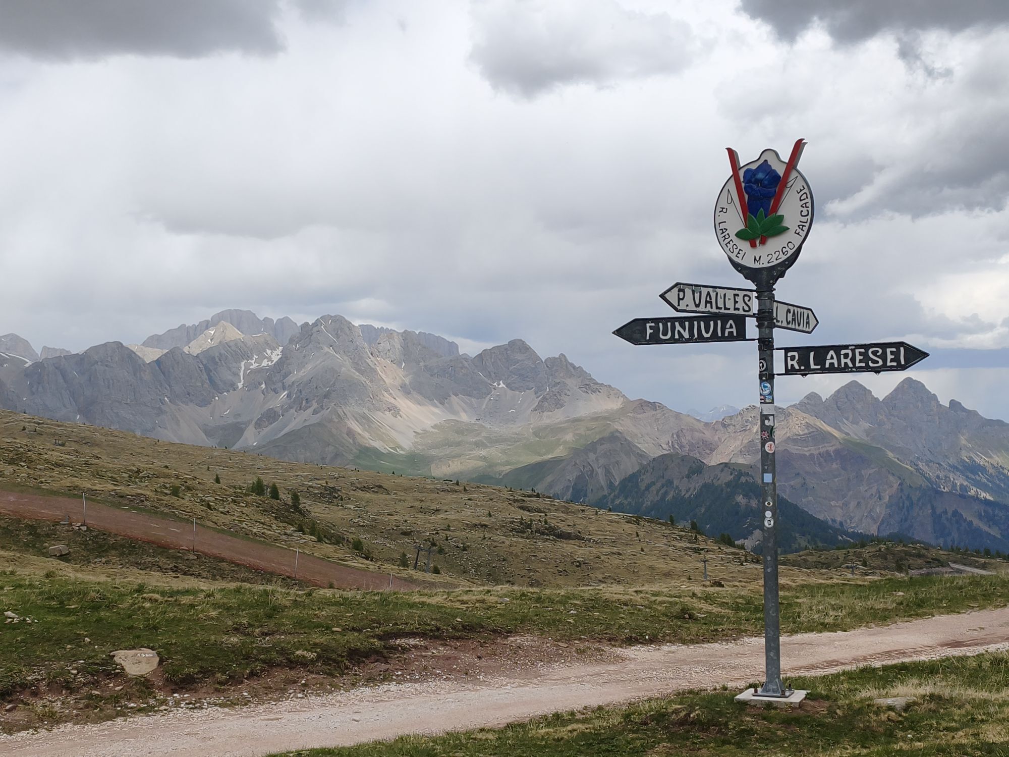
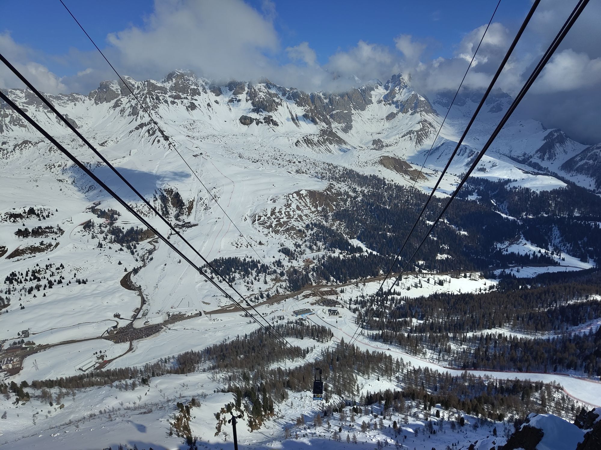
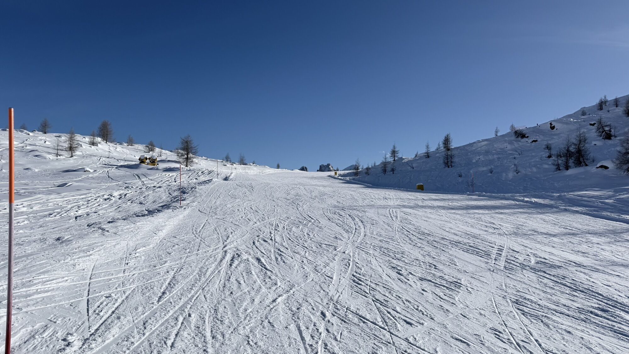
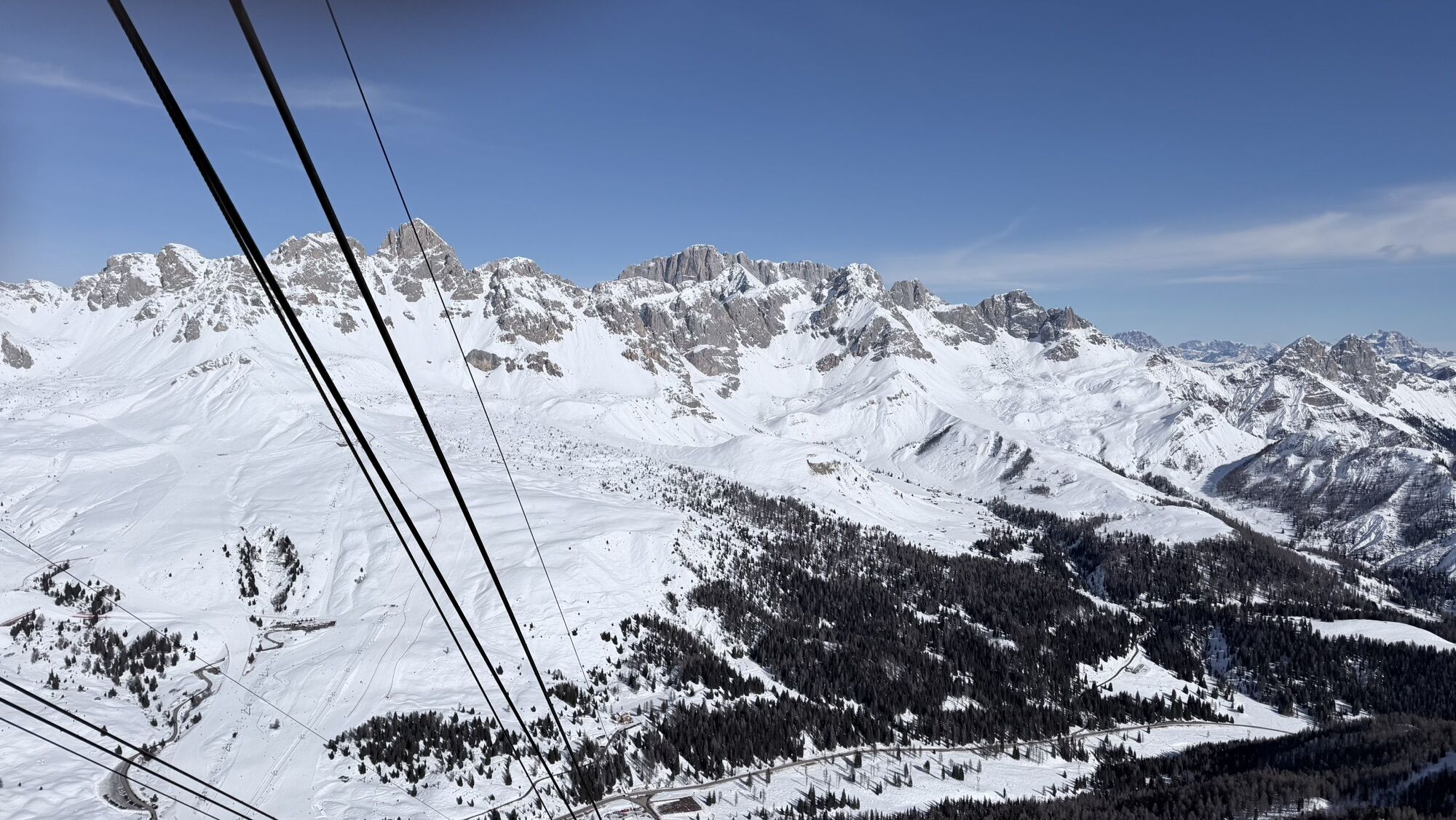
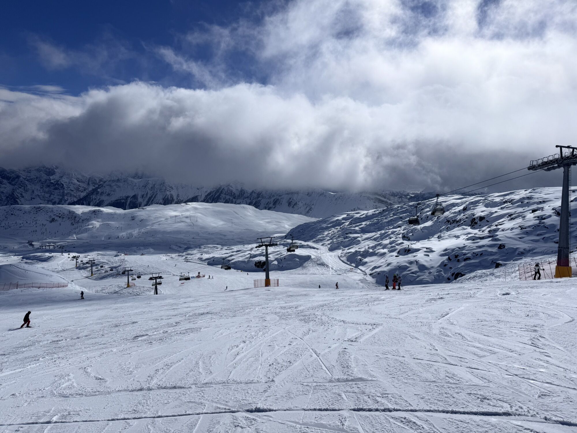
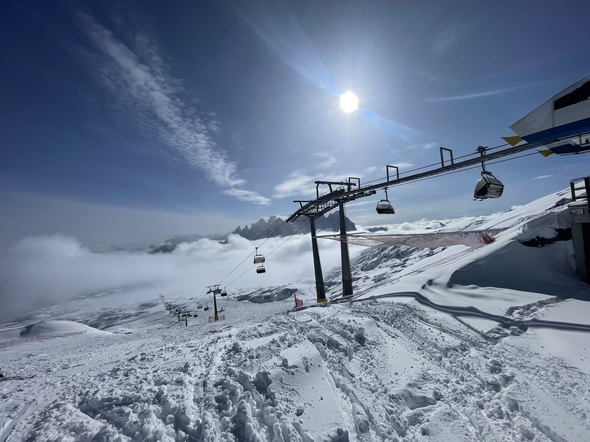
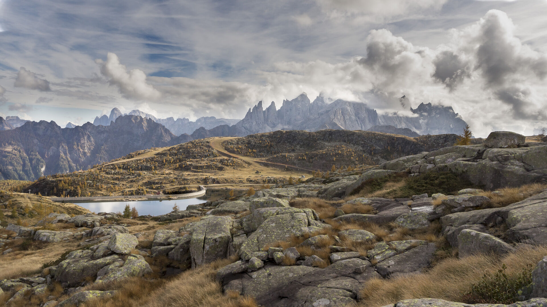
From the San Pellegrino Pass, take the cable car to Col Margherita. From the top station of the cable car, descend along the dirt road that follows the ski slope (path no. 695). You then reach "Forcella...
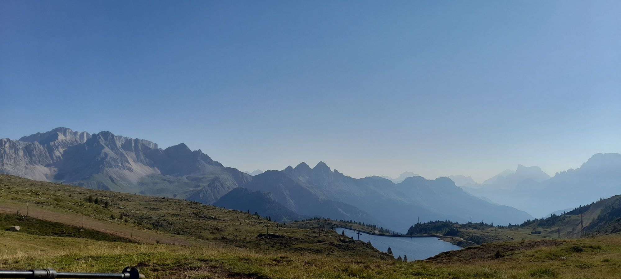
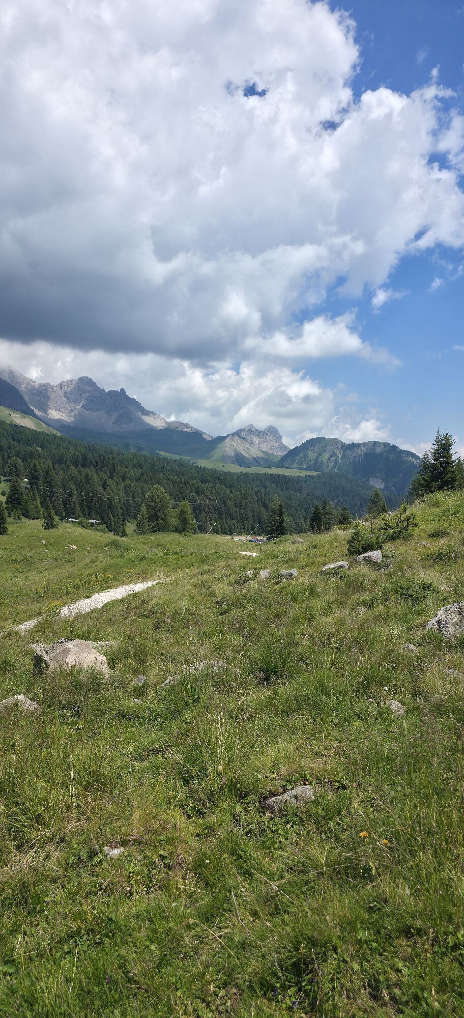
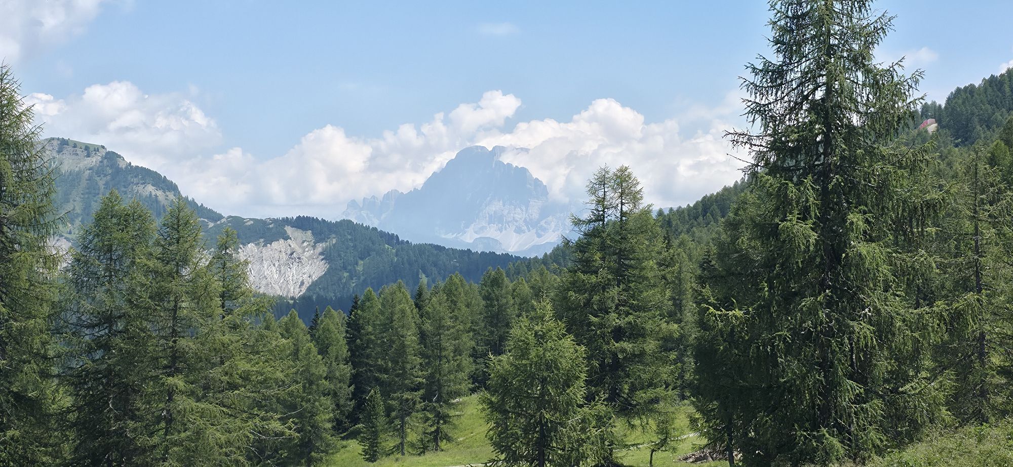
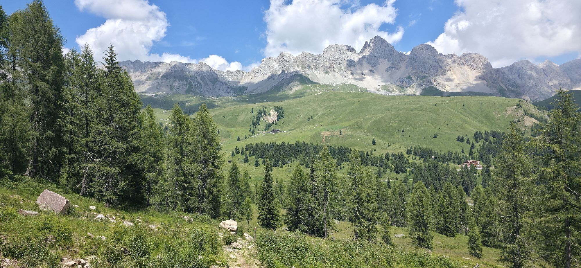
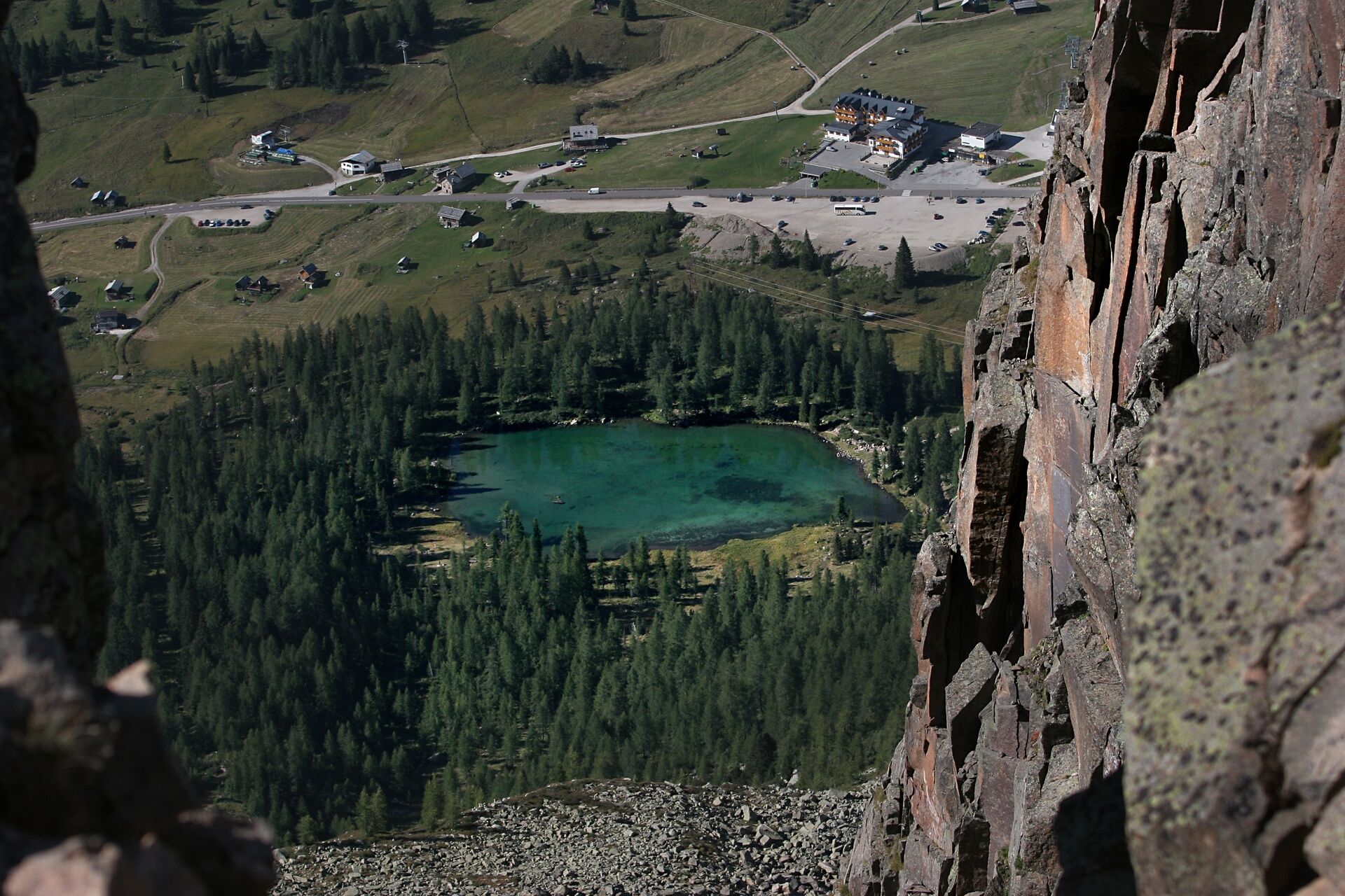
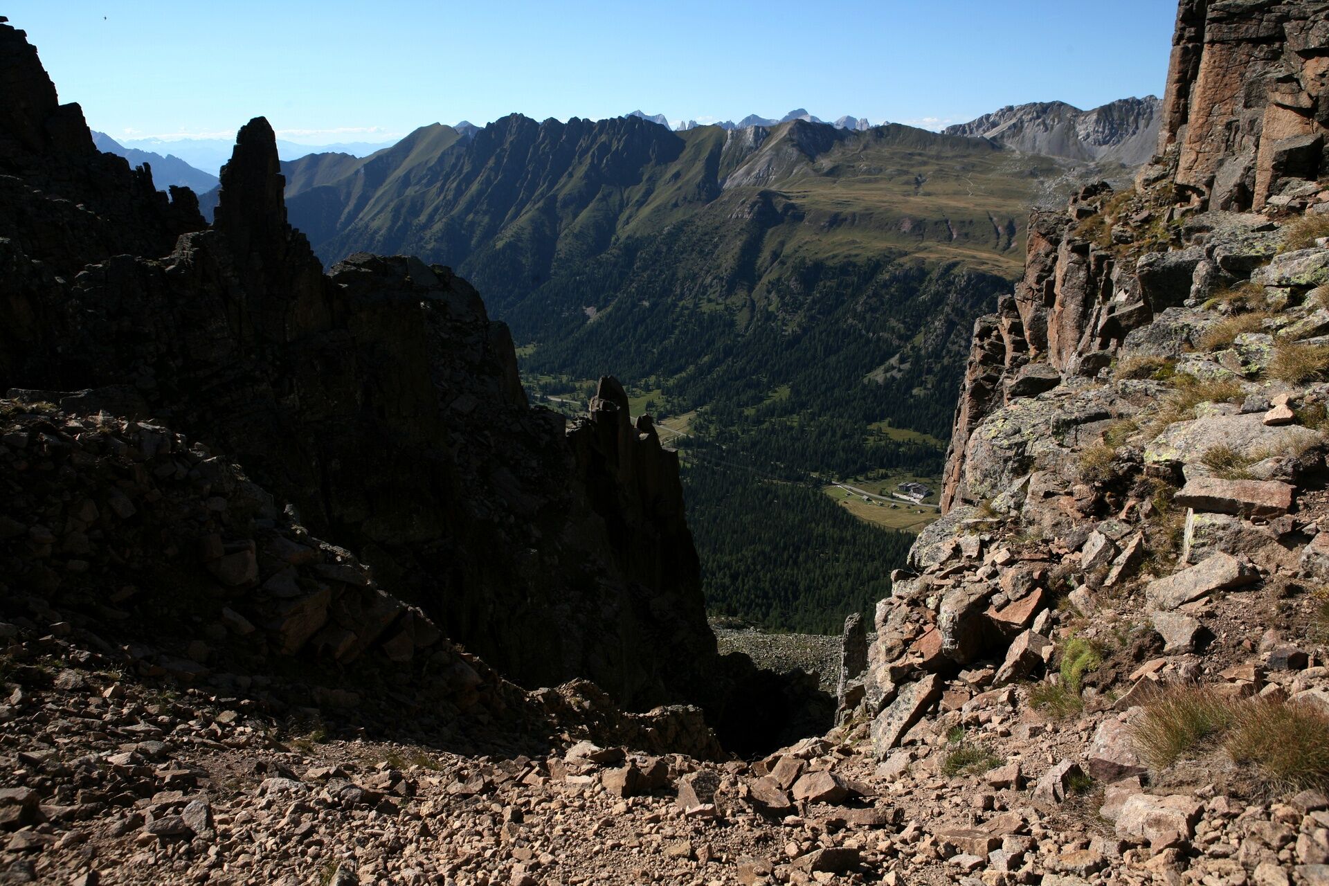
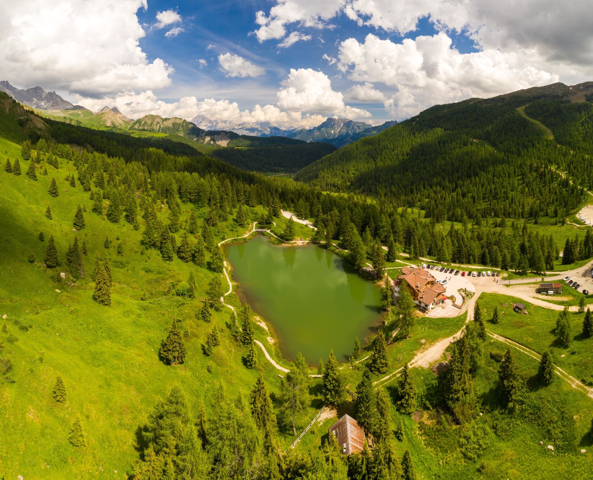
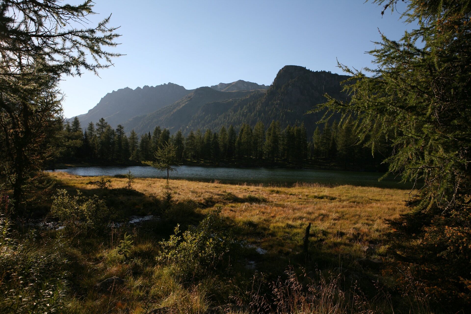
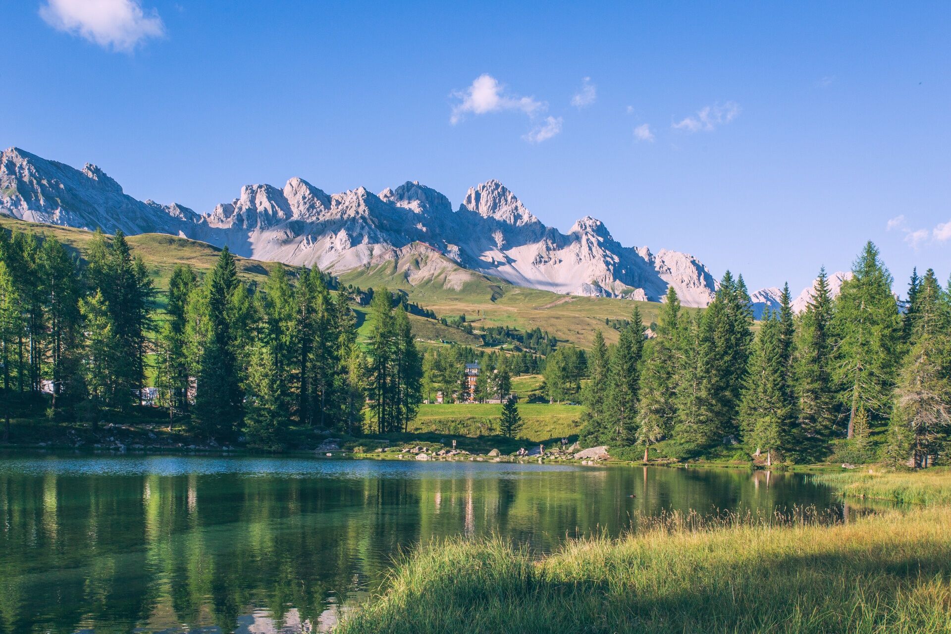
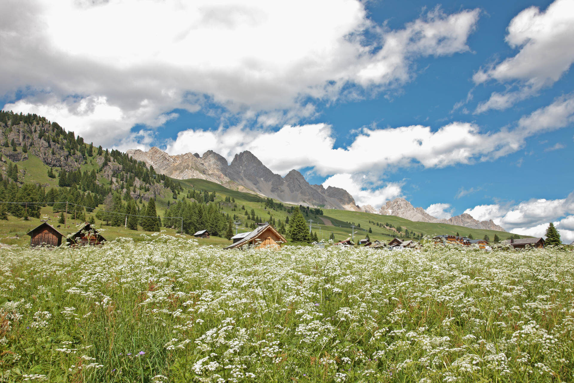
From the San Pellegrino Pass, take the cable car to Col Margherita. From the top station of the cable car, descend along the dirt road that follows the ski slope (path no. 695). You then reach "Forcella di Pradazzo", where path no. 658 from Valles Pass also joins. Now follow trail no. 695, which descends between pastures and stones in the direction of the "Cavia" reservoir. Pass downstream of the reservoir, taking you to the opposite bank. You return to the rocky slope, with a few ups and downs, arriving at "Col Caviette", from where you return to trail no. 658. Follow it and you will soon reach the balcony of the "Pale del Cargol". You round the porphyry promontory to the south, cross a stony basin and, finally, the ski slope descending from Col Margherita. The path now points towards the pass. Between small clearings, thick rhododendron bushes and sparse Swiss stone pine and larch woods, you reach the valley station of the cable car.

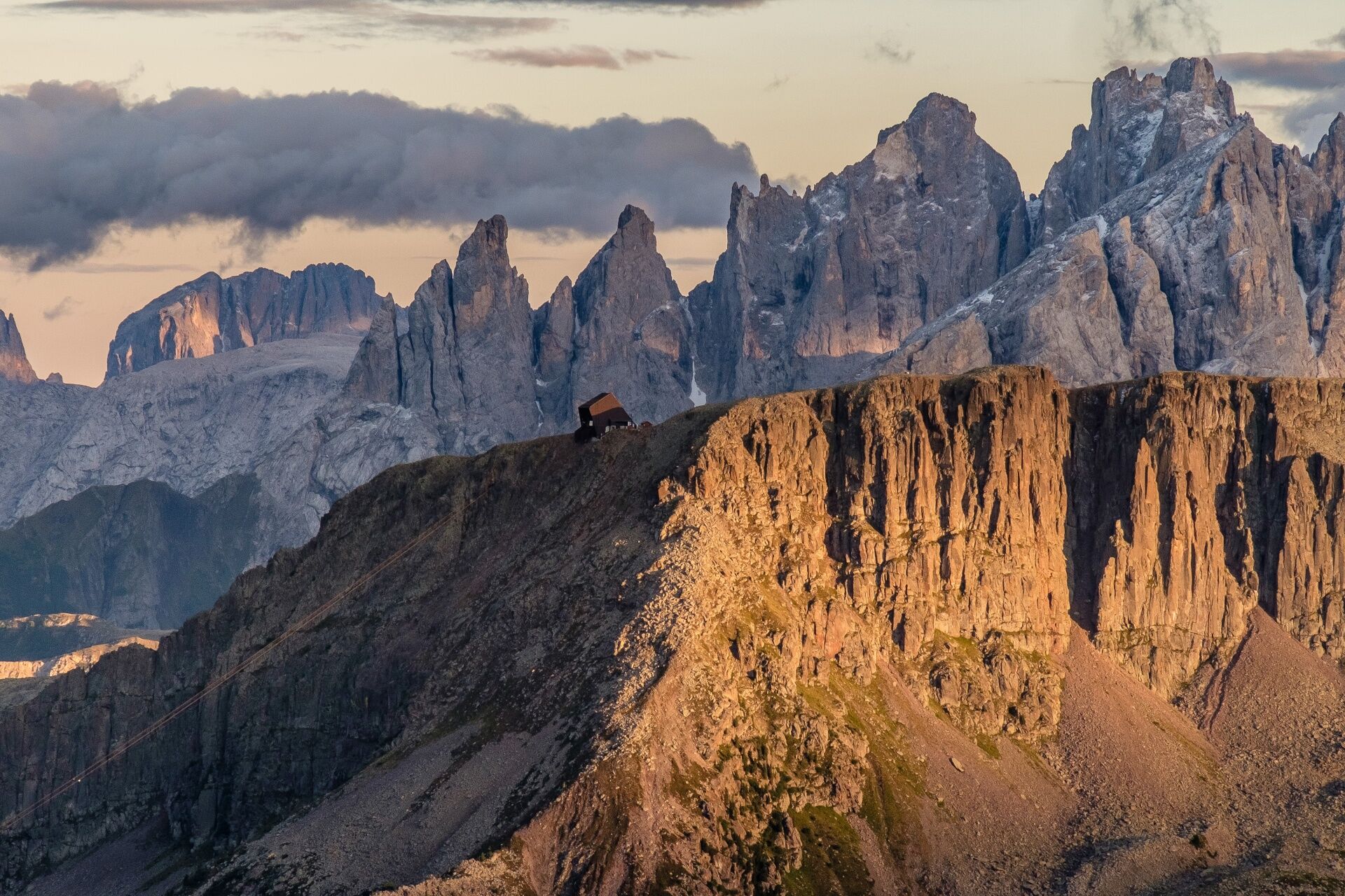
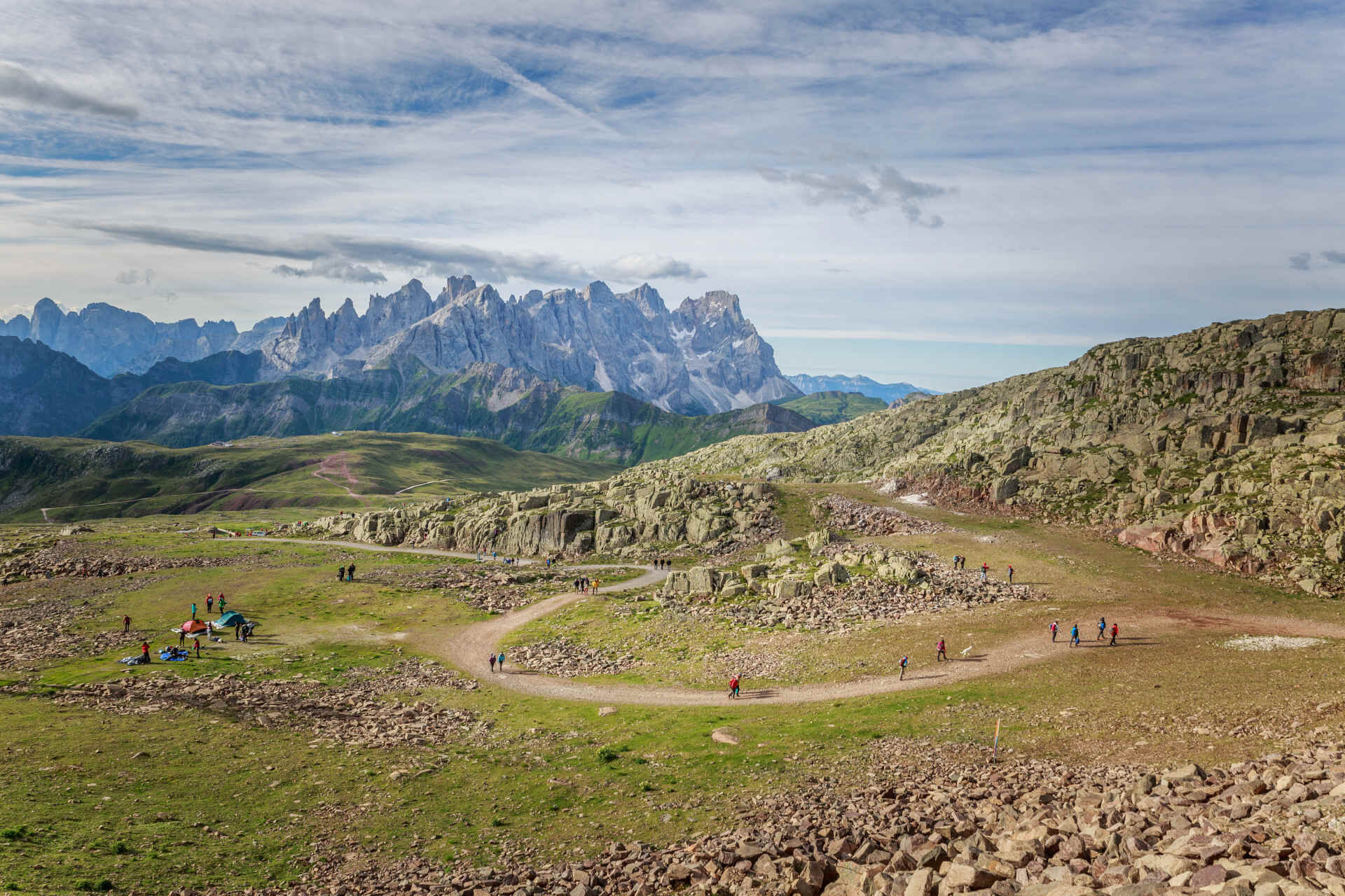
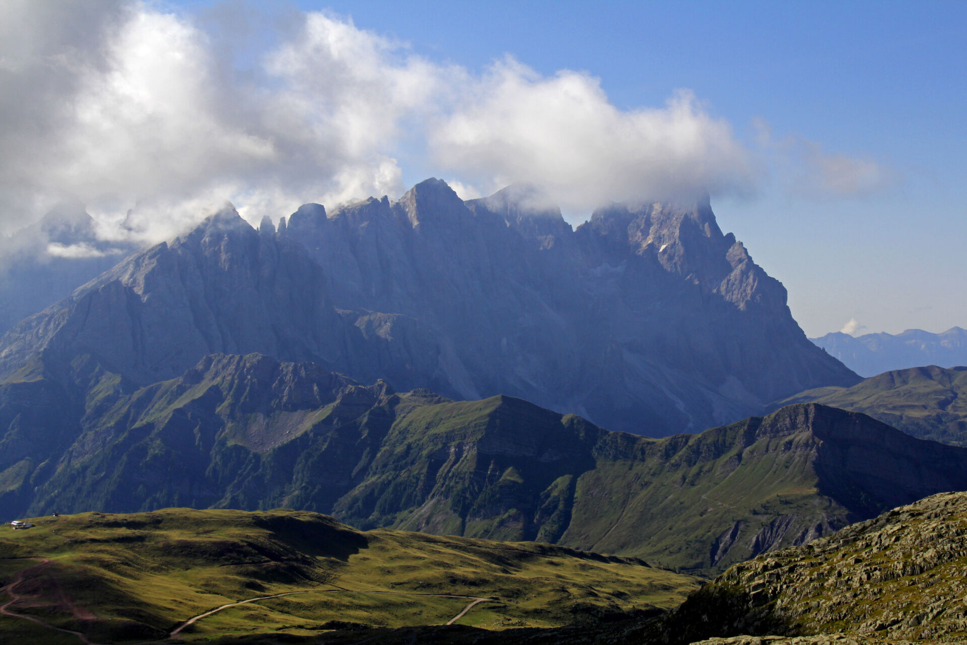
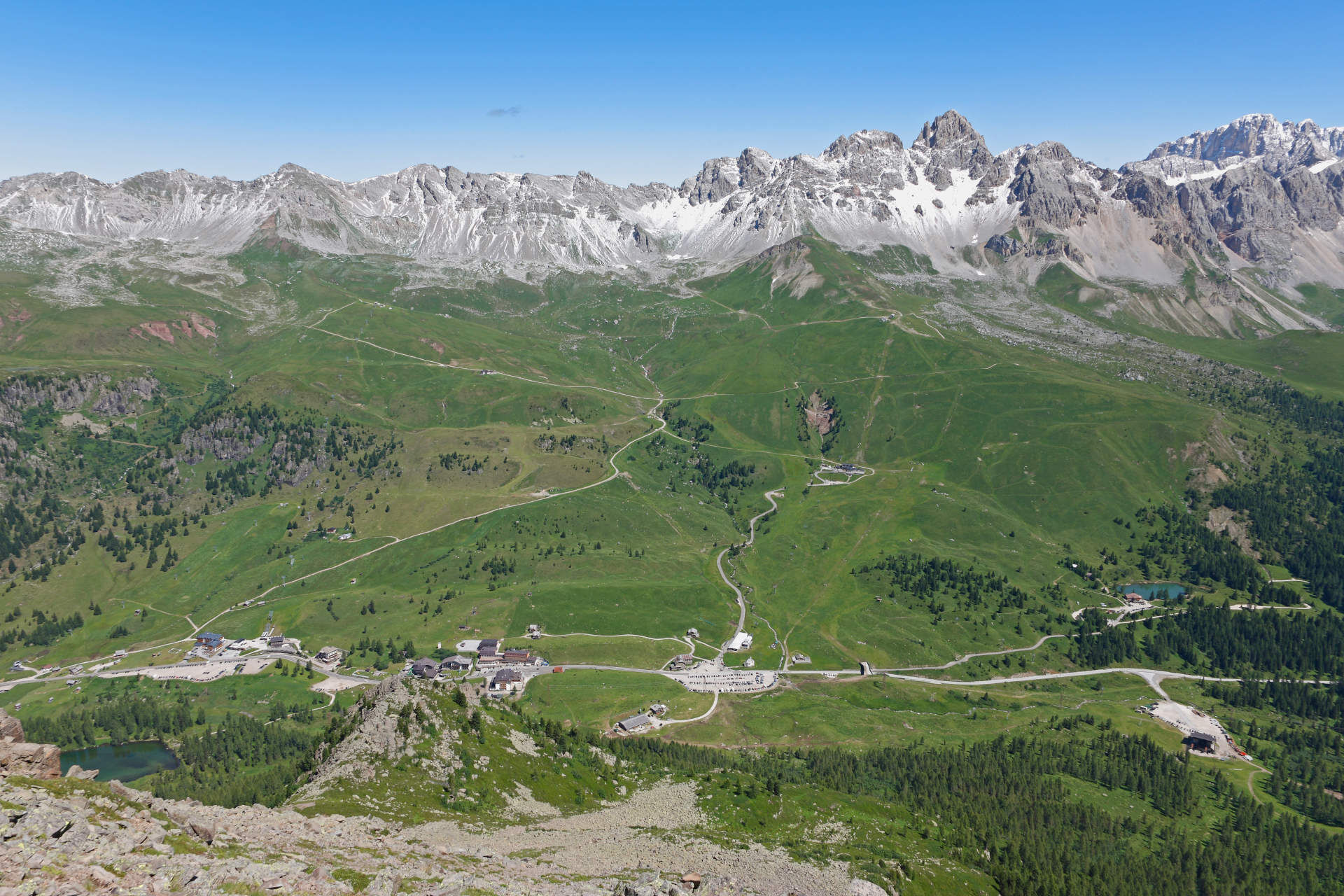
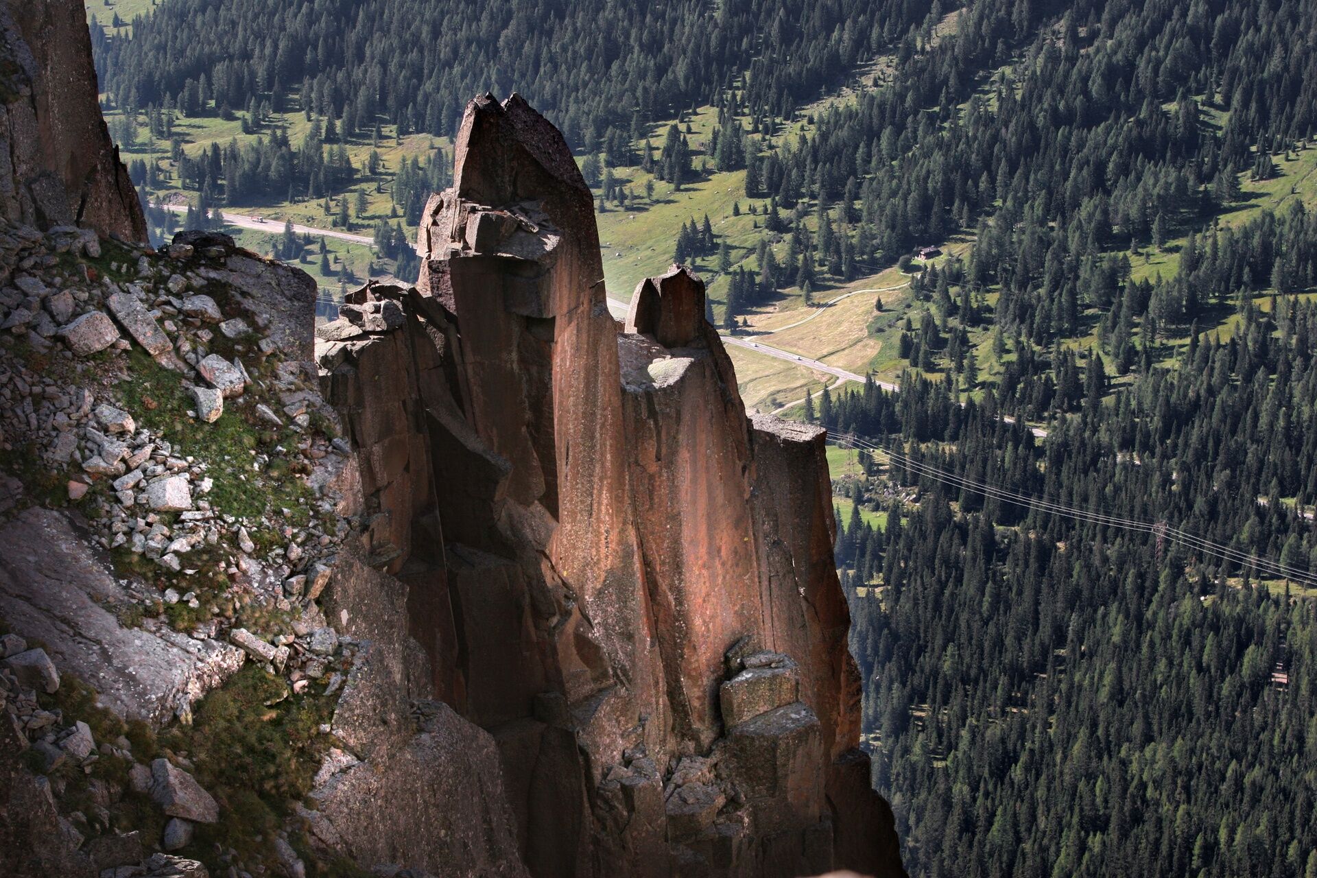

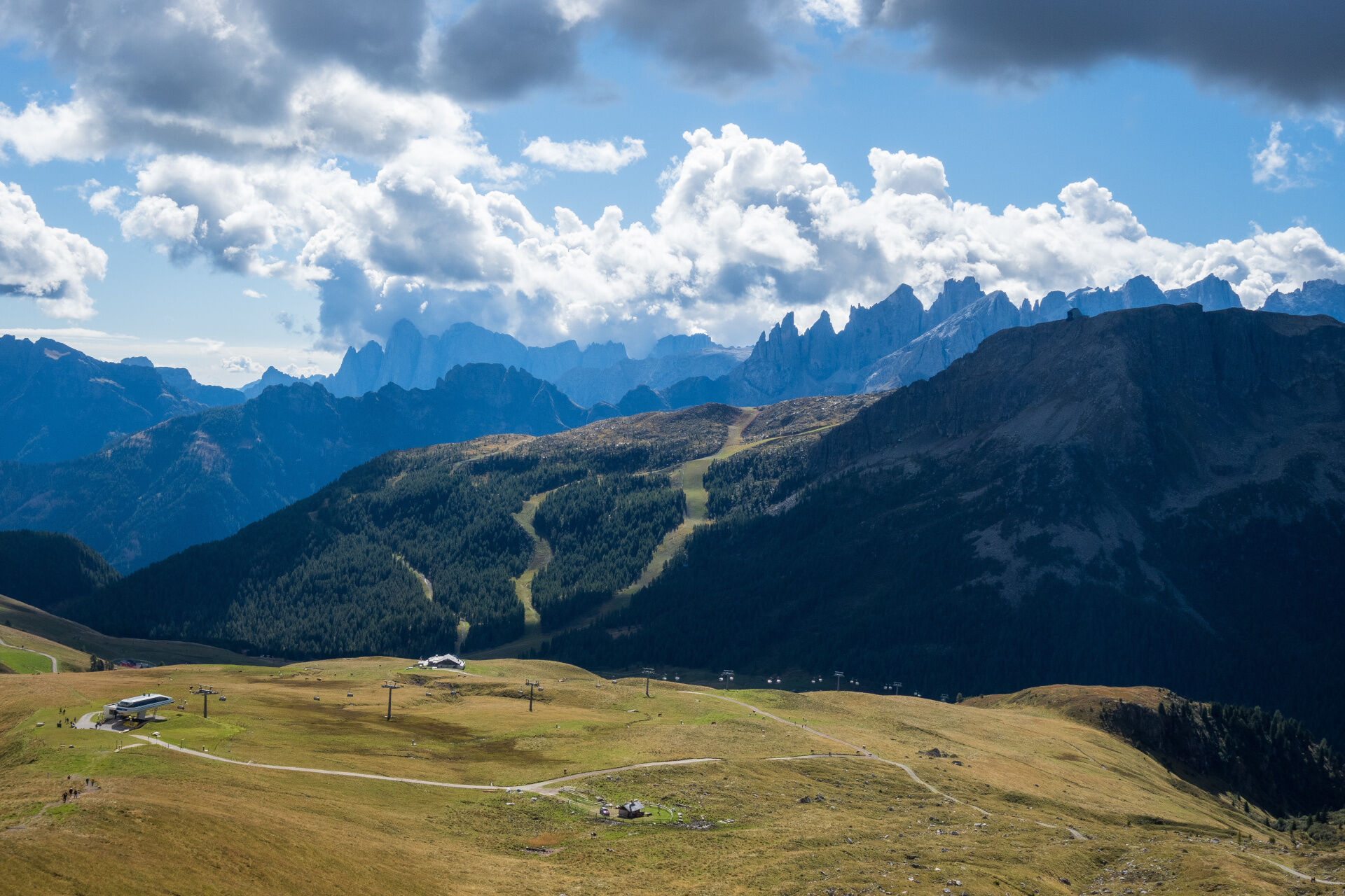
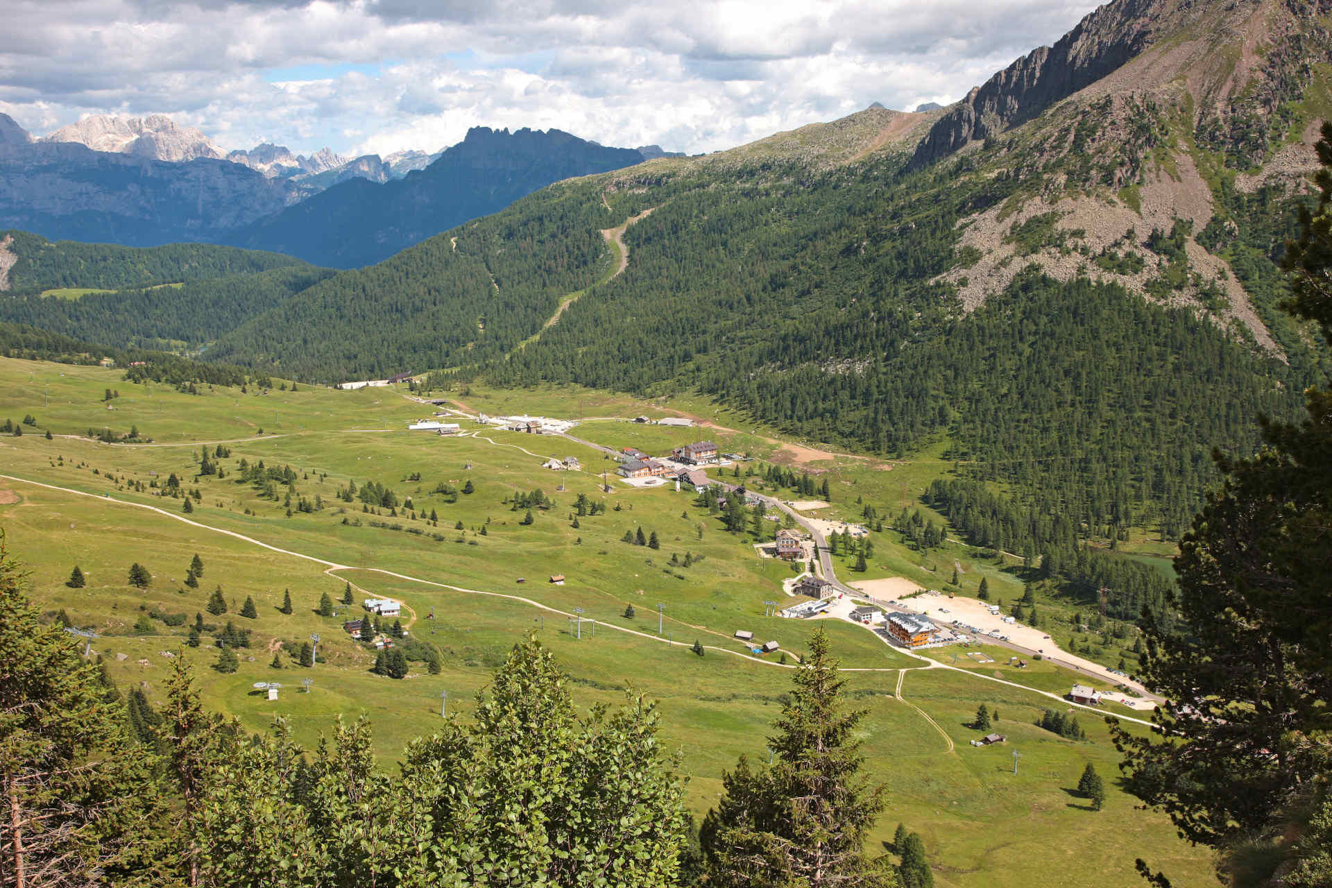

From the top station of the "Col Margherita" cable car (2,508 m), go up by following the easy path that leads to three different installations, able to arise the curiosity of both adults and children: a dive into the past among volcanos, glaciers, isles, sea beds, geological eras and fossil records. Access on foot, no strollers.
First leg: islands or mountains? A sort of treasure hunt, at the research of fossils and findings, characteristic of nine isles representing the Dolomites UNESCO mountain groups (Pelmo-Croda da Lago, Marmolada, Pale di San Martino-San Lucano-Dolomiti Bellunesi-Vette Feltrine, Dolomiti Friulane e d’Oltre Piave, Dolomiti settentrionali, Puez-Odle, Sciliar-Catinaccio-Latemar, Bletterbach, Dolomiti di Brenta). Turn the three hexagons and find out in which islands they are hidden.
Second leg: suspended in time. A track of 30 metres, where each metre corresponds to 10 million years. Move in balance on time and go across the geological eras and the main stages of the Birth of the Dolomites, from 300 million years ago till today.
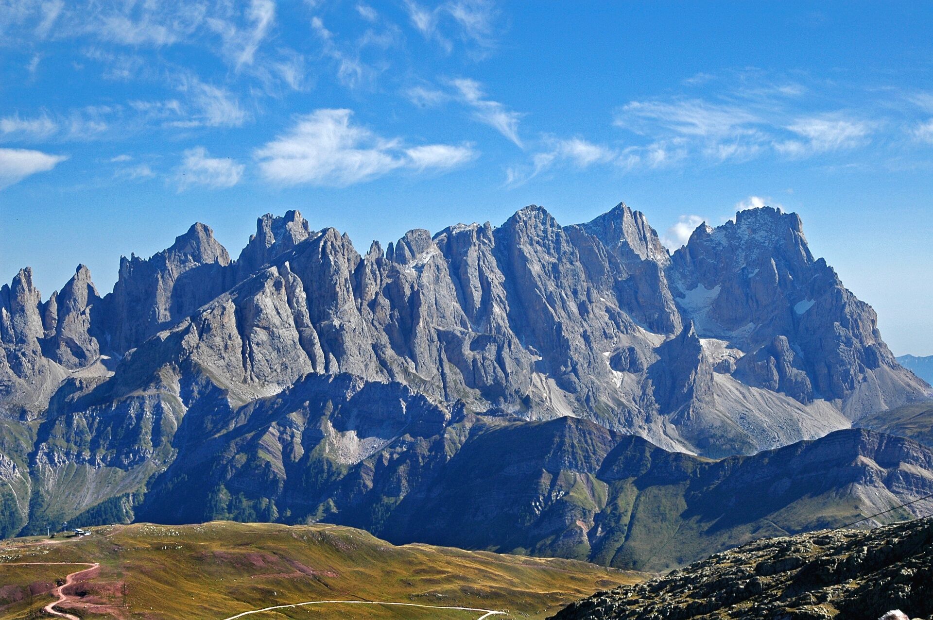
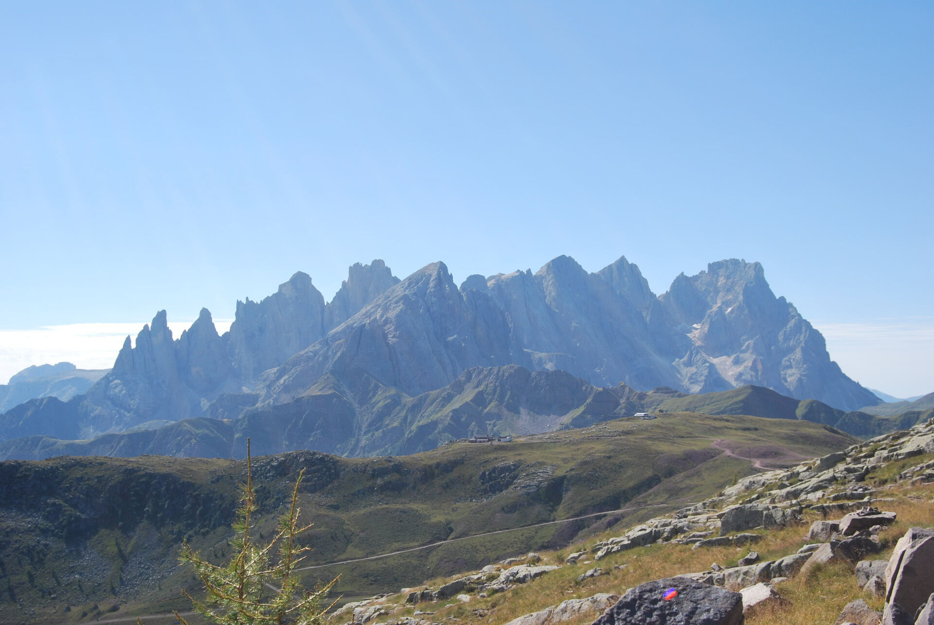
Third leg: the helm of the Dolomites. A huge interactive wheel to play with the profiles of the dolomitic peaks. Can you guess the correct names of the mountains?
Da
Da
Wear adequate clothing, footwear and equipment suitable for the length and grade of difficulty of trail to be taken. Always try to be self-sufficient and carry with you the necessary to face possible emergency situations and a first aid kit.
Plan your excursion according to your skills and the weather.
Walk slowly, enjoy the landscape and the silence.
Inform somebody about your itinerary, return time and possible changes.
Rely on professionals (Alpine and local guides).
Help those in need. Call 112 only in case of real necessity.
Make sure you have suitable clothes and equipment + some water and snacks.
Respect the environment around you and its inhabitants. Bring back your rubbish.
Follow the marked trails avoiding those in the bike park.
To protect the wonders of nature, leave everything in its place.
Bring your pet along, but keep it on a leash.
Other accesses to the Val di Fassa
from the A27 (Venice) motorway, exit Belluno/Ponte nelle Alpi, S.S. 203 for Agordo and S.P. 346 Passo San Pellegrino - Moena (Val di Fassa). From the Moena bypass towards Canazei from the A27 (Venice) motorway, exit Belluno/Ponte nelle Alpi, S.S. 203 for Agordo/Alleghe/Rocca Pietore. S.P. 641 Passo Fedaia - Canazei coming from Arabba, S.S. 48 Passo Pordoi - Canazei from Val Gardena, S.S. 242 Passo Sella - CanazeiPublic transport lines SAD - Val di Fassa:â¯
line no. 180 Vigo di Fassa - Carezza Pass - Bolzano line no. 471 Dolomites passes (Sella Pass, Gardena Pass, Campolongo Pass, Pordoi Pass, Fedaia Pass). Service available in summer onlyFree parking at the start of the Col Margherita cable car.
Strèda Roma, 36
38032 Canazei (TN)
Phone +39 0462 609500
info@fassa.com
www.fassa.com
The Col Margherita - Juribrutto area was pivotal in the Italian advance on this section of the front. The area is well preserved on the ridge on the Cima Juribrutto, while the recently restored Italian tunnels on the last part of the route near "Col de le Palue" can now be visited.

Spletne kamere s turneje


Priljubljeni izleti v okolici
- 4.4
Viel dal pan
svetlobaPohodništvo 6.60 km - 4.5
Cavallazza Peak
srednjaPohodništvo 7.82 km - 4.5
San Pellegrino Pass - Fuciade - Val Fredda - Malga Boer - San Pellegrino Pass
srednjaPohodništvo 11.1 km - 4.4
Passo Pordoi Loop
srednjaPohodništvo 13.1 km - 5.0
San Pellegrino Pass - Fuciade - San Pellegrino Pass
srednjaPohodništvo 6.83 km - 4.5
Tour of Lusia Lakes
srednjaPohodništvo 13.0 km - 4.5
Finanzieri (C/D) Colac 2715m
Via ferrata 4.10 km - 5.0
Marmolada Westgrad
srednjaVia ferrata 9.94 km - 4.5
Alba - Col dei Rossi - Viel dal Pan - Fedaia - Alba
težkoPohodništvo 13.6 km - 3.0
Sellaronda Mountainbike
srednjaMountainbike 57.6 km
Pohodništvo in sledenje


Ne zamudite ponudb in navdiha za naslednje počitnice
Vaš e-poštni naslov je bil dodan na poštni seznam.





