






Juribrutto Lake

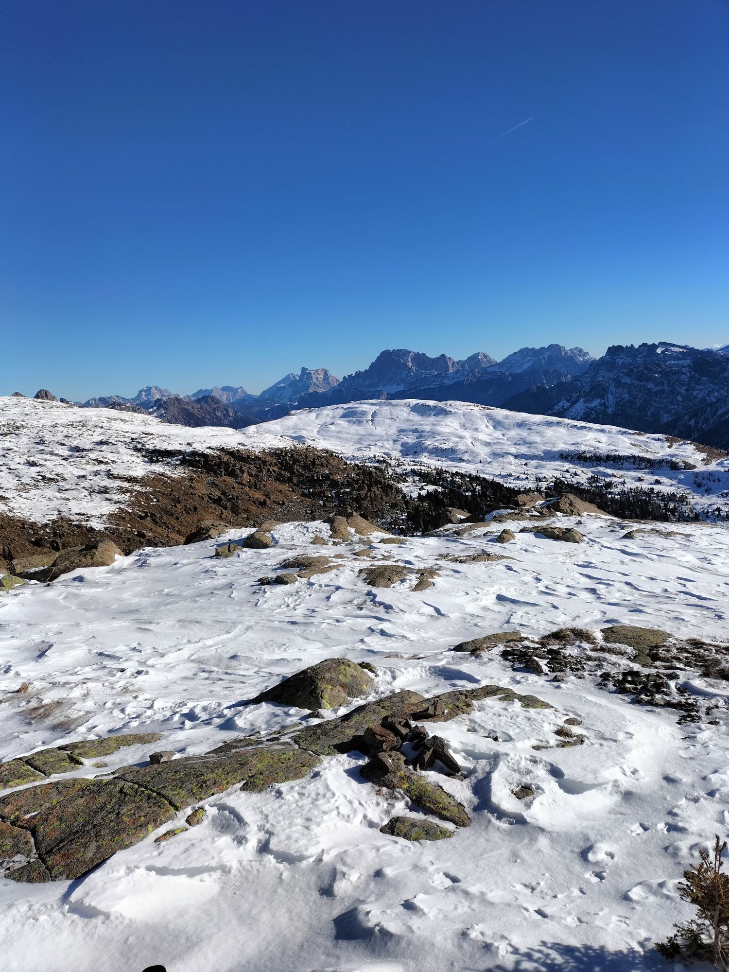
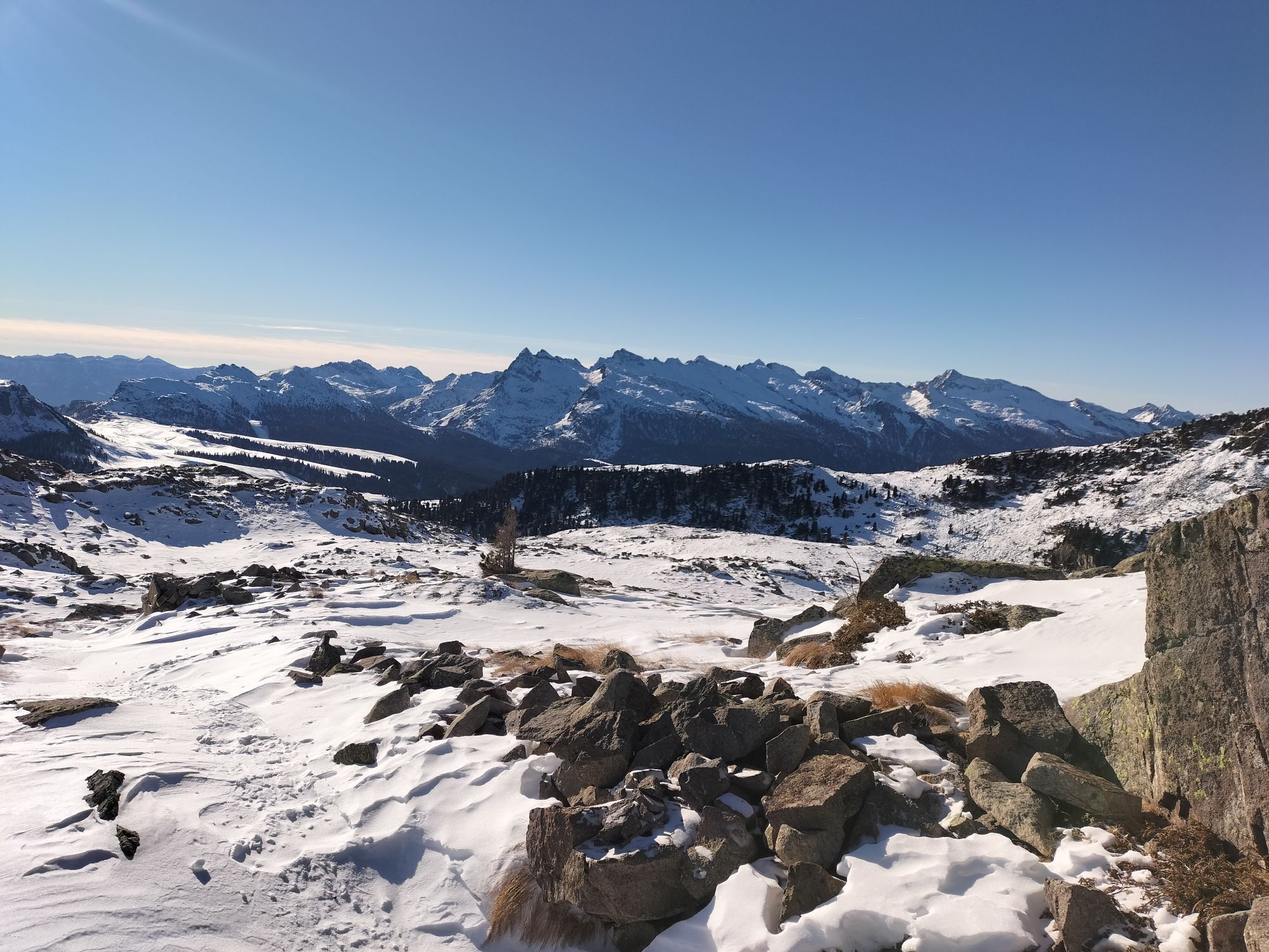
This easy and short itinerary is located in a quite remote corner of the Natural Park of Paneveggio – Pale di San Martino. Here pastures, scattered with Swiss pines, offer a relaxing and quiet place.
The...
This easy and short itinerary is located in a quite remote corner of the Natural Park of Paneveggio – Pale di San Martino. Here pastures, scattered with Swiss pines, offer a relaxing and quiet place.
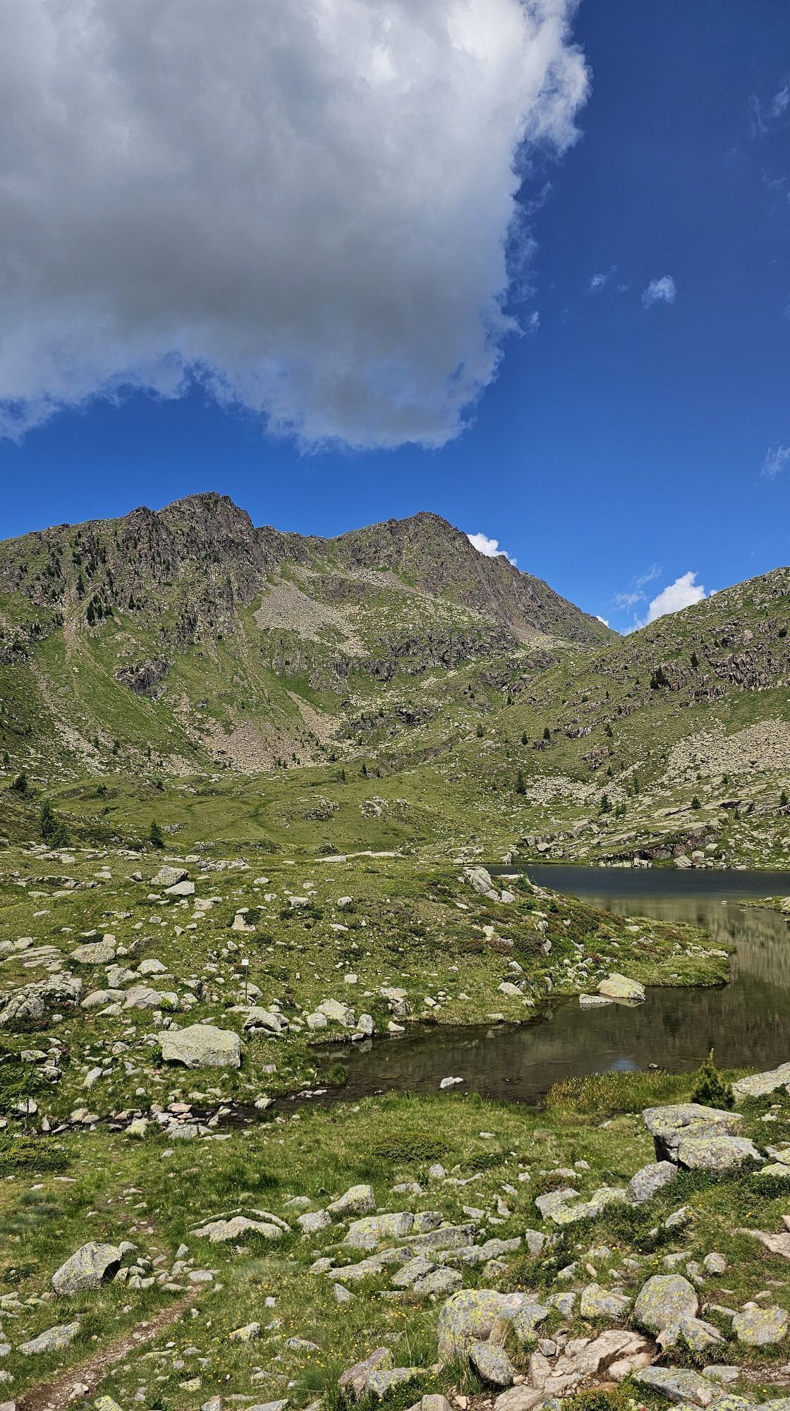
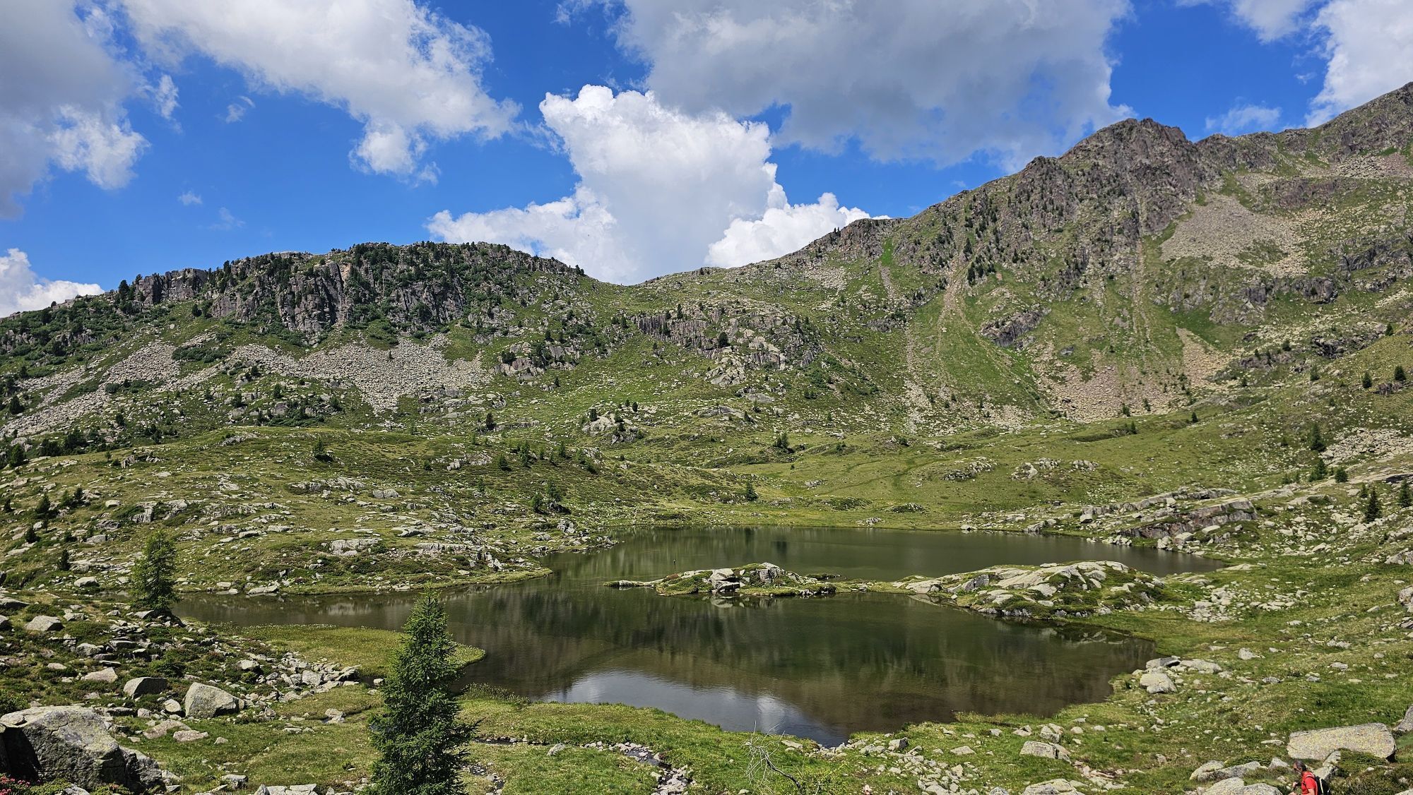
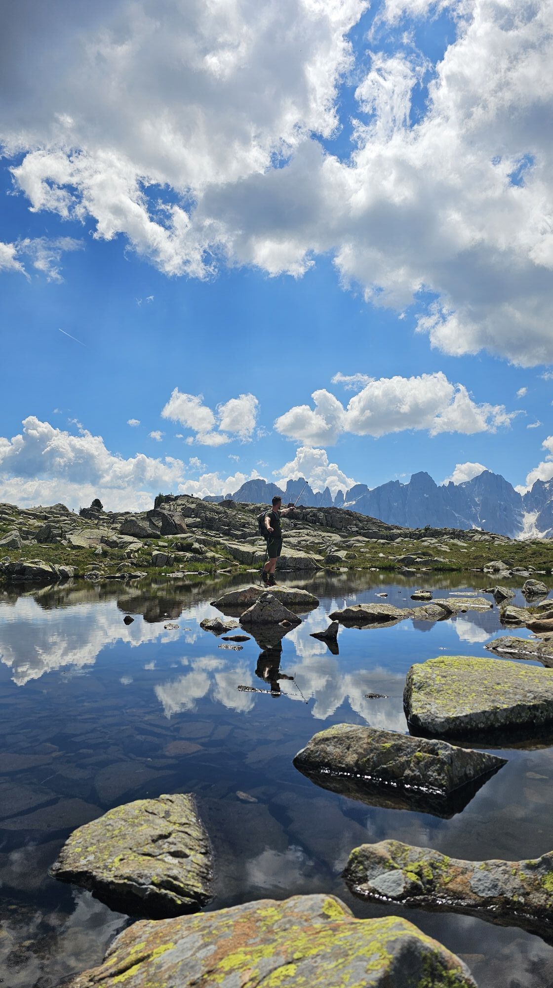
The stunning view starts from the majestic Pale di San Martino, on to the marvelous Val Venegia and even to the Lagorai mountain chain. Once at the lake, admire the dolomite peaks reflecting in its calm waters. The lake’s name (brutto means ugly) doesn’t represent its aspect at all, quite the opposite: a lonely pearl nestled among rhododendrons. A picnic along its shores will make your excursion unforgettable.

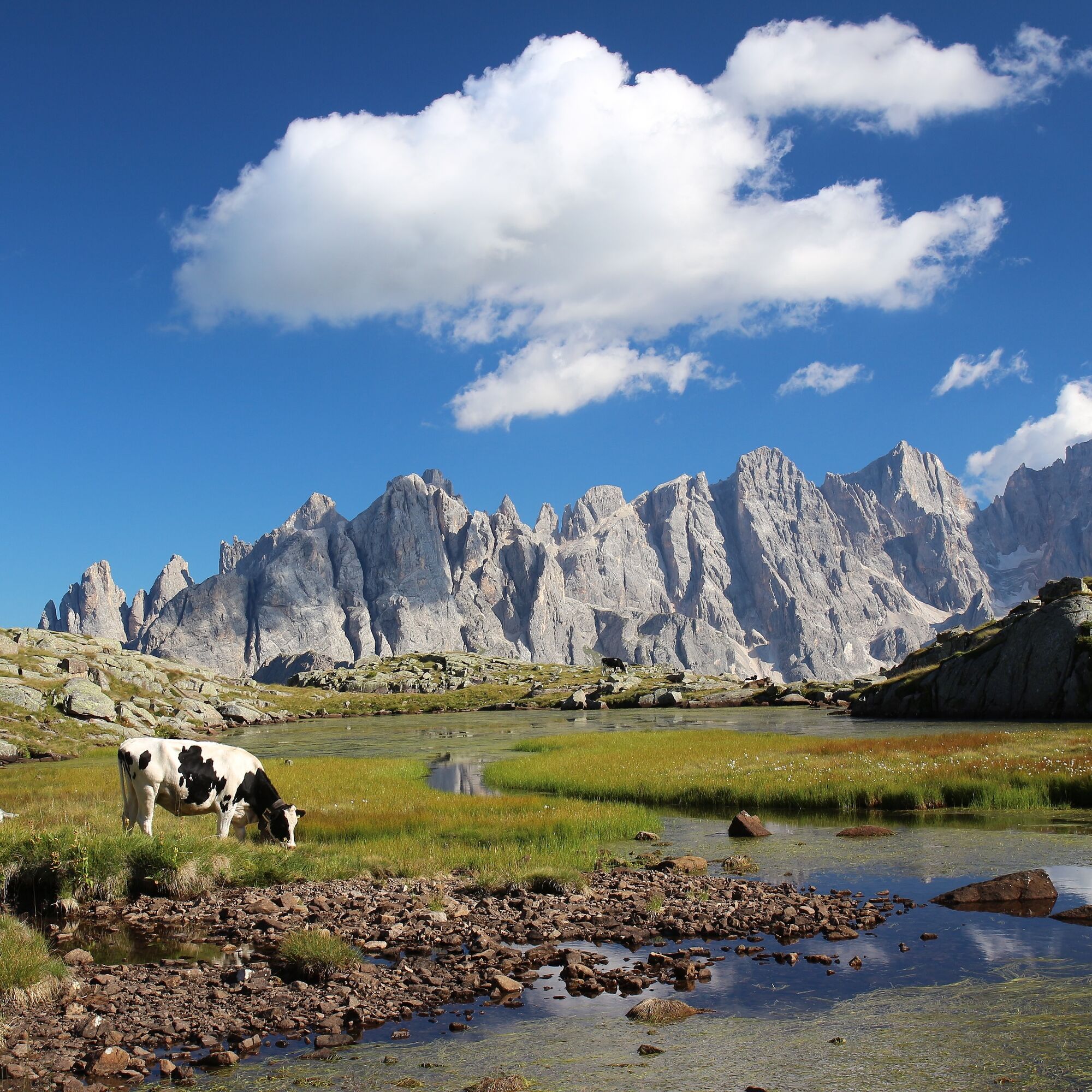
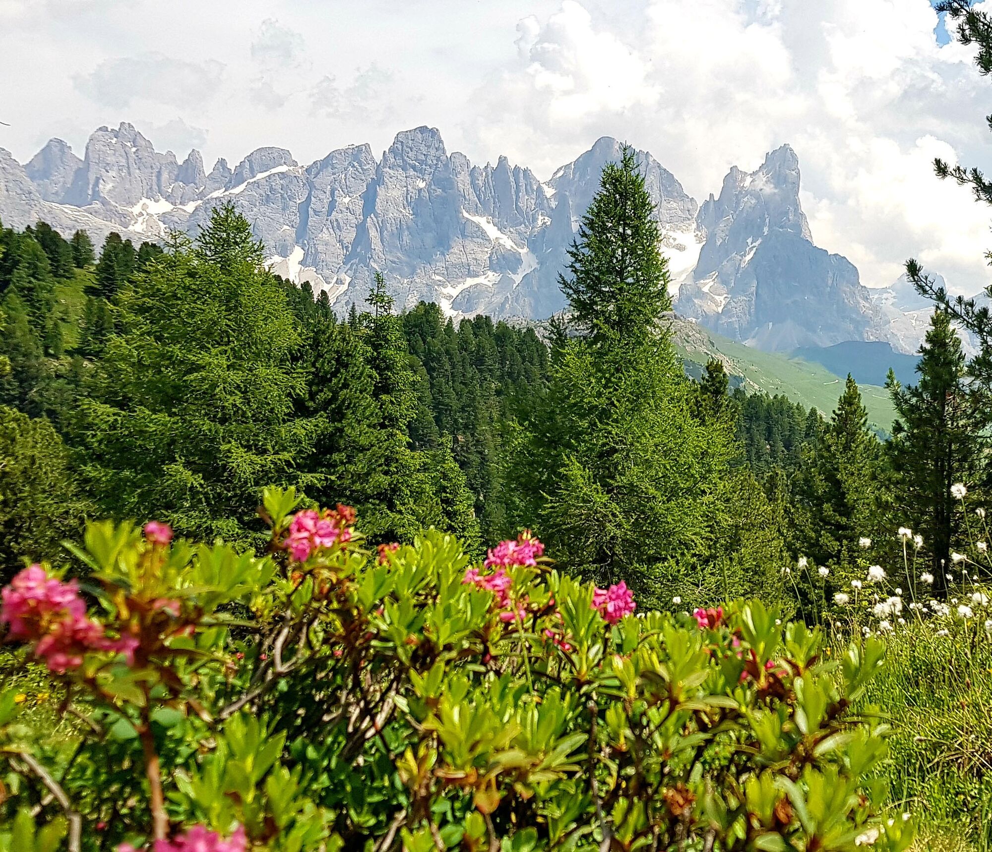
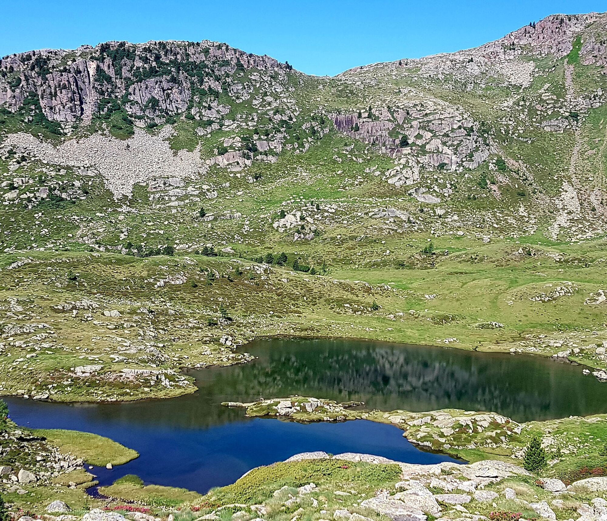
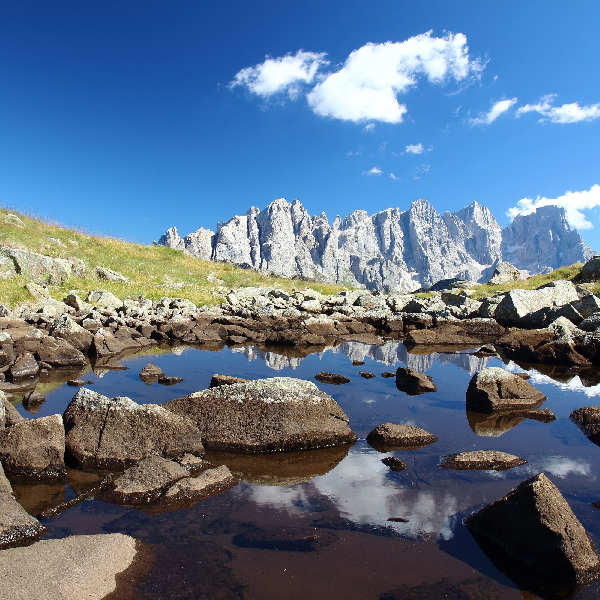
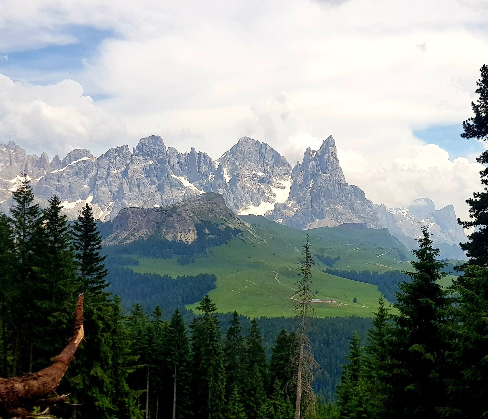

The excursion begins next to Malga Valazza, on the road to Passo Valles. The first part of the trail (path n° 631) ascends through the wood, reaching a pasture where Rio Vallazza flows. Keep walking uphill on an old military mule track that leads to Lastè di Juribrutto. Once on the pass, the excursion slightly descends, passing through wide pastures and heading to a few tiny lakes. On the left side of the lakes, there are some remains of World War One trenches. From here you can admire Civetta, Pale di San Martino with the impressive Mount Mùlaz, beside a great section of the Lagorai mountain chain. Continue on path n° 631 until you reach Lake Juribrutto, nestled in a dip.
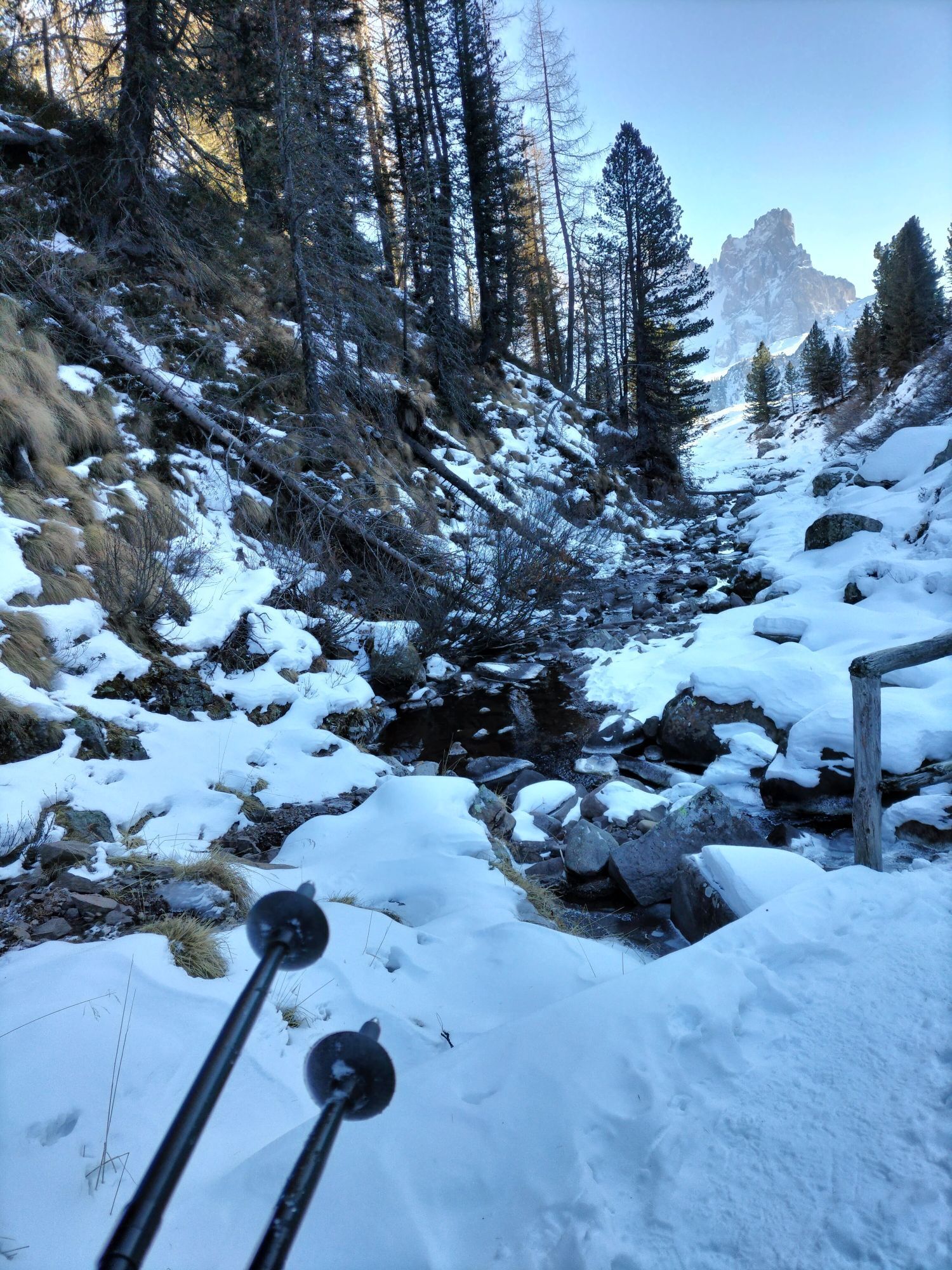
After a break, descend on path n° 629 running next to Rio Juribrutto until you reach Malga Juribrutto (no restaurant service). From here the last section of the route follows path n° 623, in the wood, that runs slightly uphill on the mountain side and takes you back to Malga Vallazza.
Da
Hiking shoes, rain-jacket, hiking poles, water, sun cream, snack.
THE 10 RULES FOR HIKERS
Prepare your itinerary beforehand Choose an itinerary that suits your physical abilities Choose suitable clothes and equipment Check the weather forecast Hiking by yourself is more risky; if this is the case, take a mobile phone with you Leave information about your itinerary and your expected return time If you are not sure about your itinerary, contact an Alpine Guide Pay attention to signposts and directions that you find along your way Do not hesitate in going back if you feel too tired In case of emergency call 112Please note that the practicability of the itineraries in a mountain environment is strictly linked to the contingent conditions and is therefore influenced by natural phenomena, environmental changes and weather conditions. For this reason, the information contained in this page may have changed. Before leaving for a tour, make sure the path you will approach is still accessible by contacting the owner of the mountain hut, the alpine guides or the visitor centres of the nature parks, the info offices of the local tourist board.
From Cavalese drive to Predazzo, then take the road SS50 direction Passo Rolle. After Paneveggio follow the signs towards Passo Valles (SP81).
Parking at Malga Vallazza.
APT Val di Fiemme - Tel. +39 0462 241111 - info@visitfiemme.it - www.visitfiemme.it
The first section of the trail runs along a mule track from World War One. Looking carefully, you can even spot some war trenches remains.

Spletne kamere s turneje



Priljubljeni izleti v okolici
- 4.8
Passo Costalunga - Sella del Ciampaz
srednjaPohodništvo 8.35 km - 4.6
Kölner Hütte - Hirzelsteig - Rotwandhütte - Baita Tre - Karerpass
srednjaPohodništvo 9.56 km - 4.5
Cavallazza Peak
srednjaPohodništvo 7.82 km - 4.5
San Pellegrino Pass - Fuciade - Val Fredda - Malga Boer - San Pellegrino Pass
srednjaPohodništvo 11.1 km - 4.8
Giro del catinaccio a nova levante
Pohodništvo 11.7 km - 5.0
San Pellegrino Pass - Fuciade - San Pellegrino Pass
srednjaPohodništvo 6.83 km - 4.2
The three lakes
srednjaPohodništvo 11.1 km - 4.5
Tour of Lusia Lakes
srednjaPohodništvo 13.0 km - 4.5
Finanzieri (C/D) Colac 2715m
Via ferrata 4.10 km - 5.0
Marmolada Westgrad
srednjaVia ferrata 9.94 km
Pohodništvo in sledenje


Ne zamudite ponudb in navdiha za naslednje počitnice
Vaš e-poštni naslov je bil dodan na poštni seznam.





