

Navigacija po spletni strani
Pridobite to turo v svoj mobilni telefon
Zemljevid
Ledro Sky Trentino
težko
Trailrunning
21.12 km
Skenirajte kodo QR in začnite navigacijo v aplikaciji bergfex.
QR Code
Pohodništvo in sledenje

Ledro Sky Trentino

Razdalja
21.1 km
Trajanje
05:00 h
Ascent
1,619 hm
Morska gladina
652 - 1,982 m

Stopnja težavnosti: T2
Prenos skladbe
Zemljevid
Ledro Sky Trentino
težko
Trailrunning
21.12 km

Fotografije naših uporabnikov

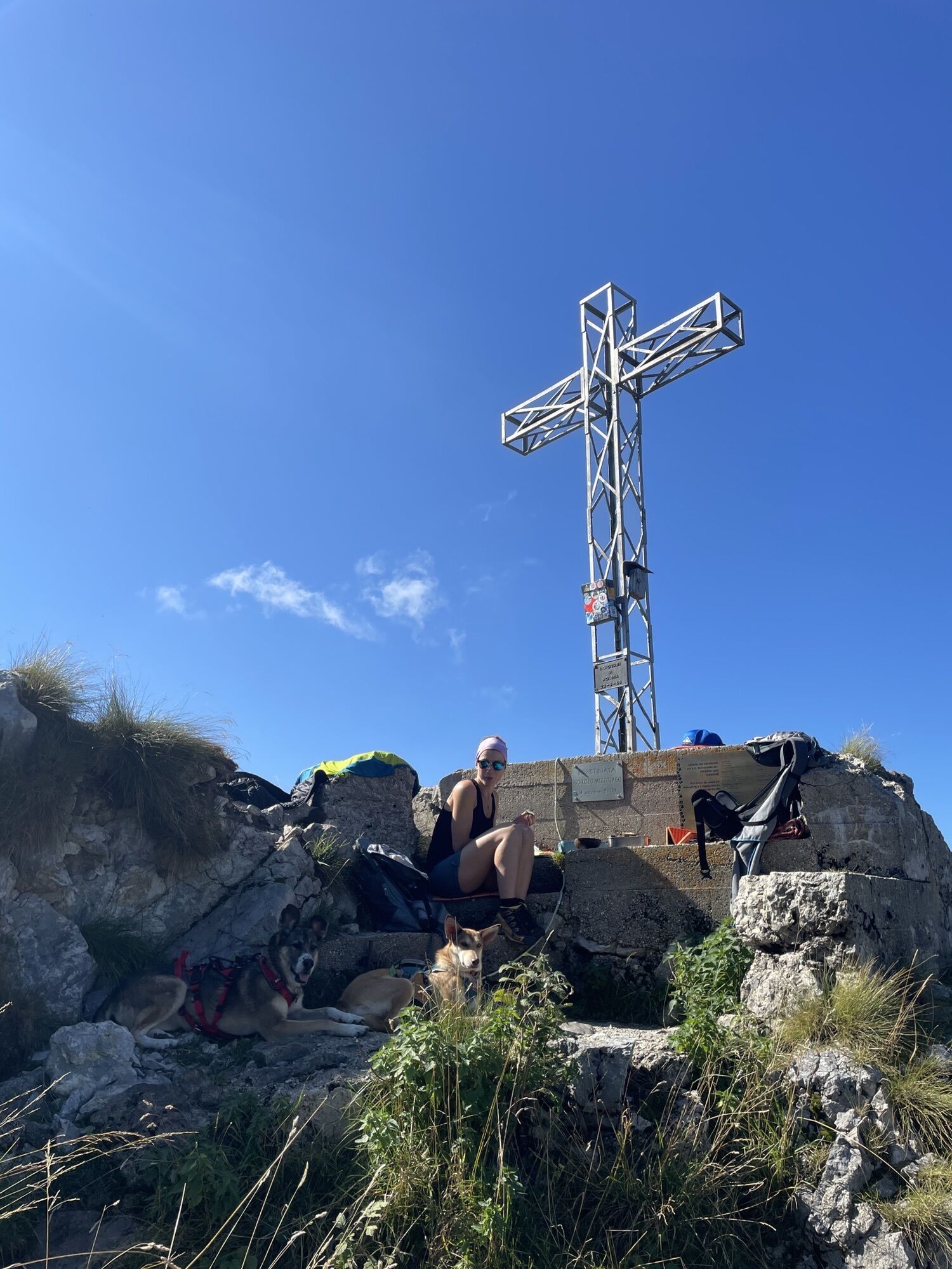
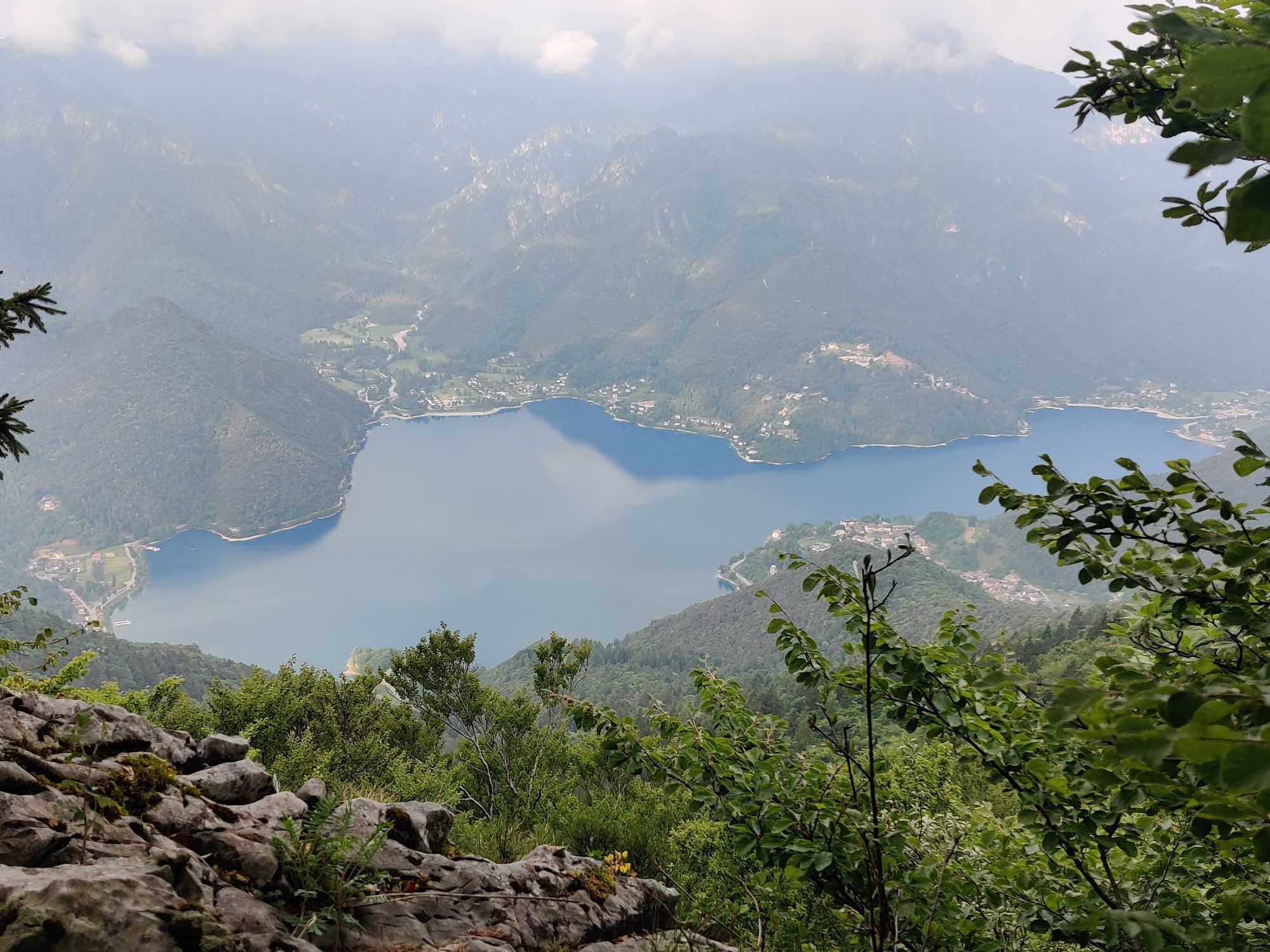
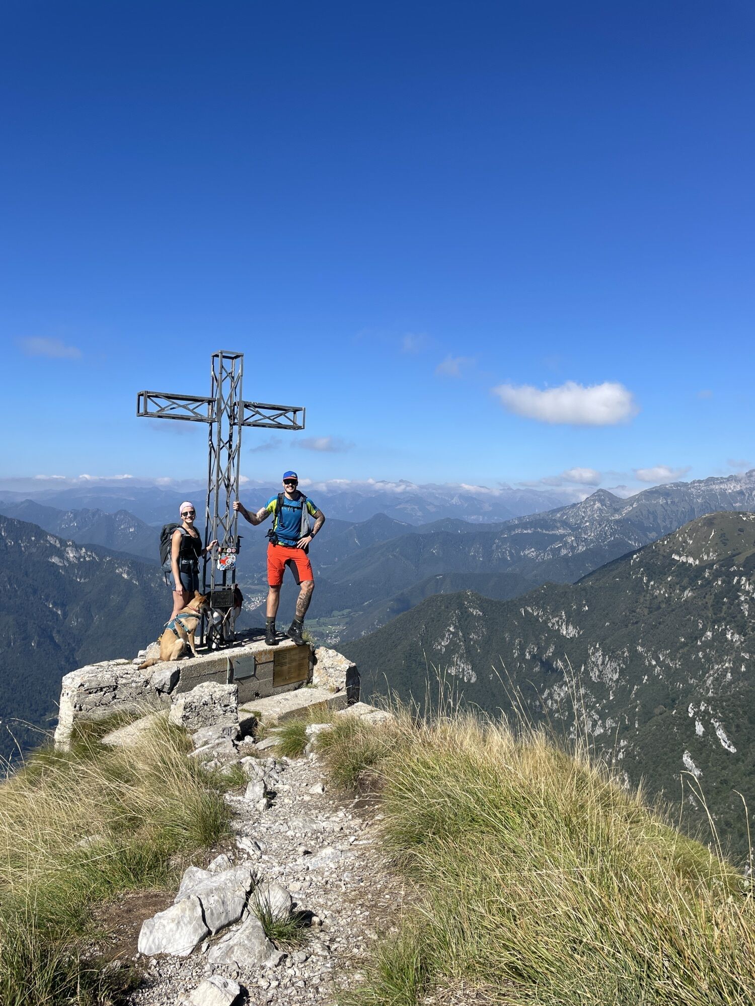
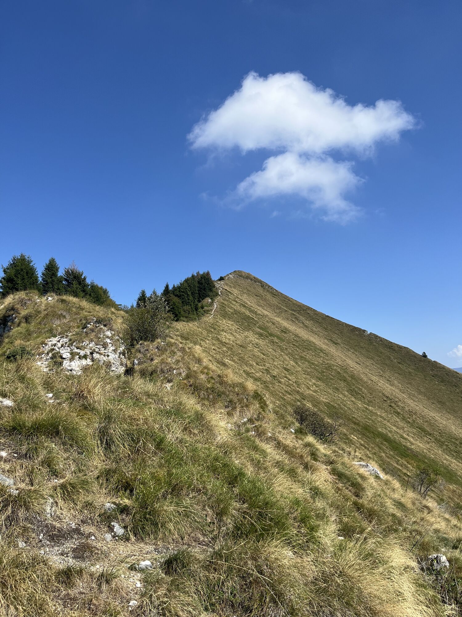
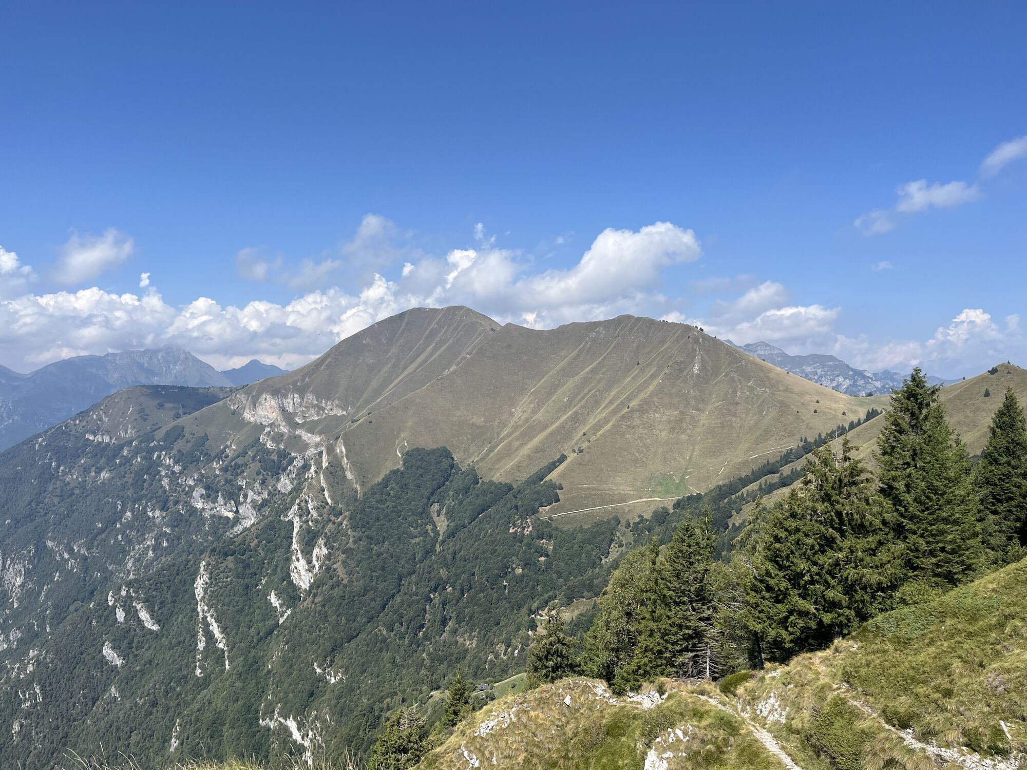
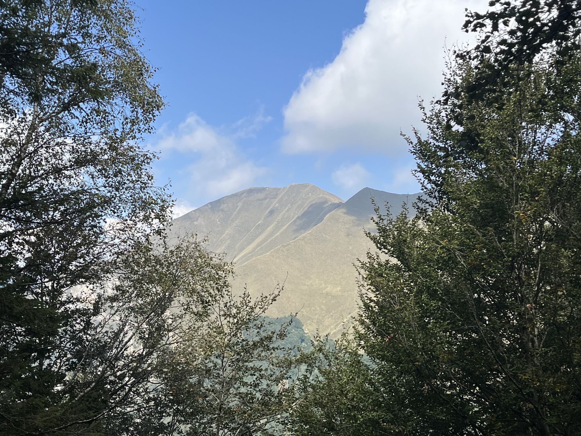
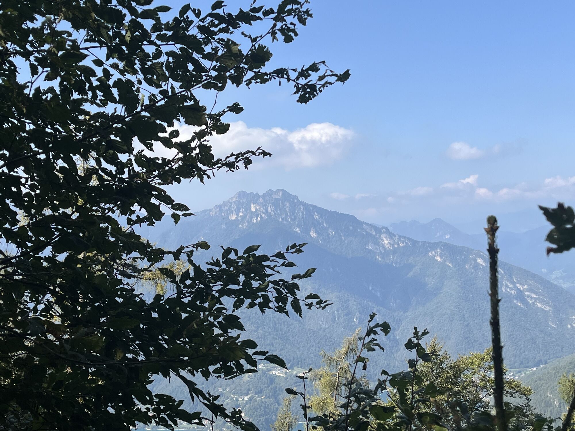
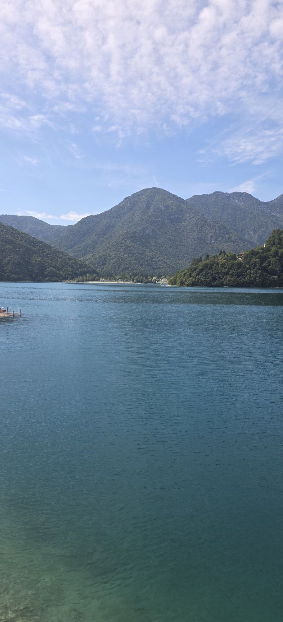
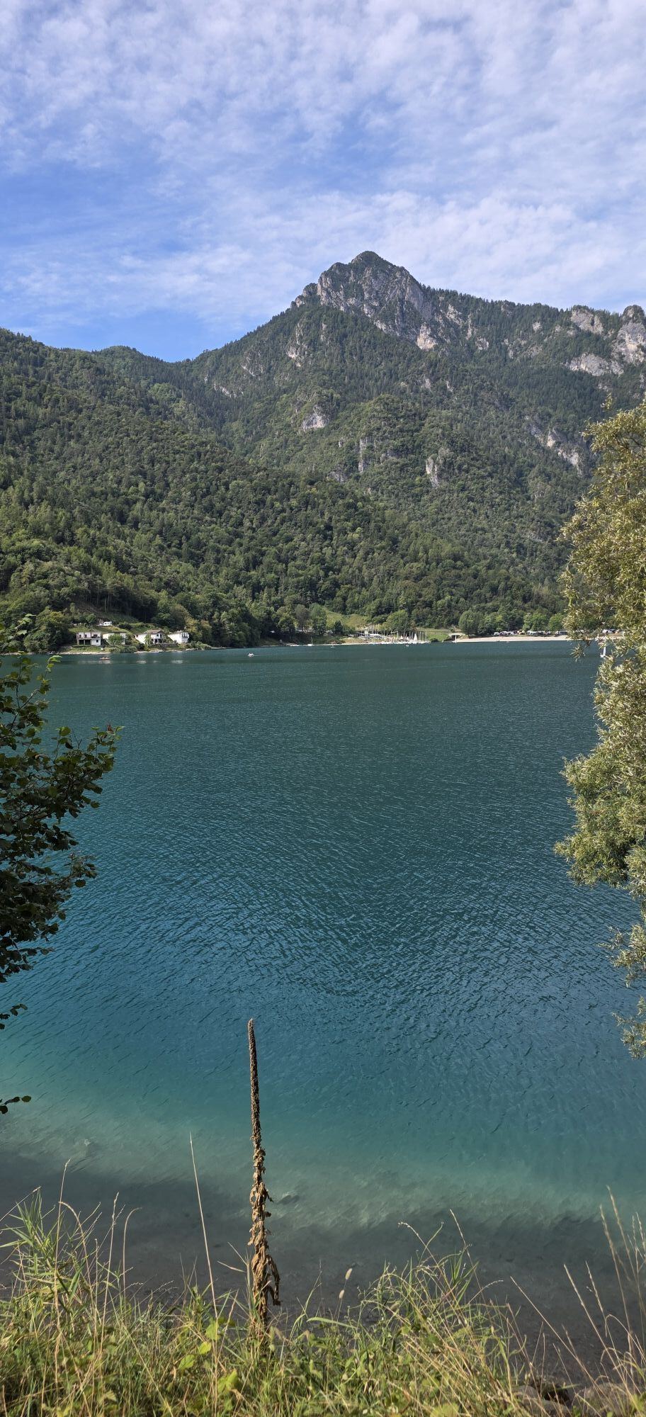
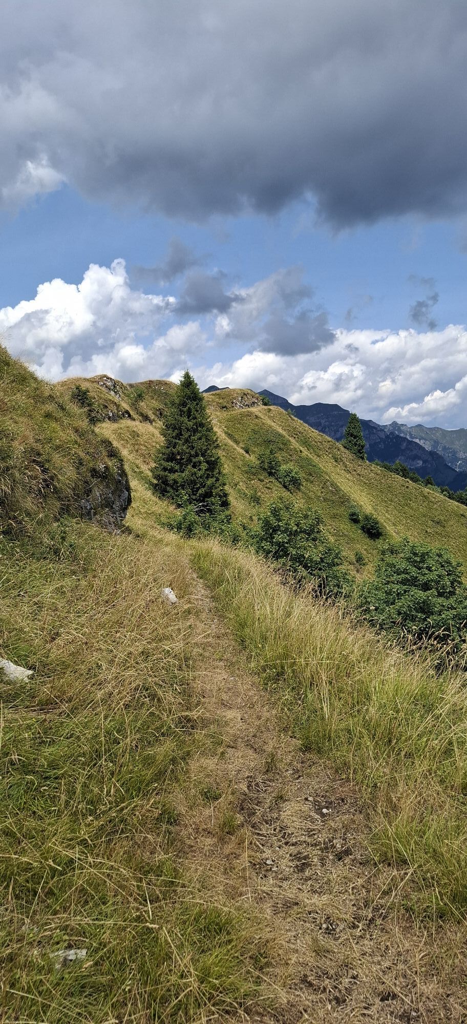
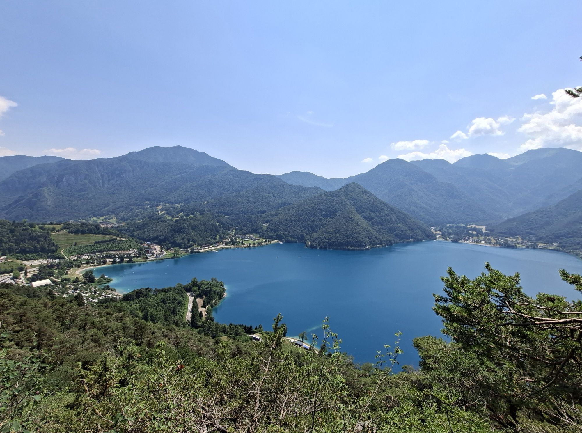
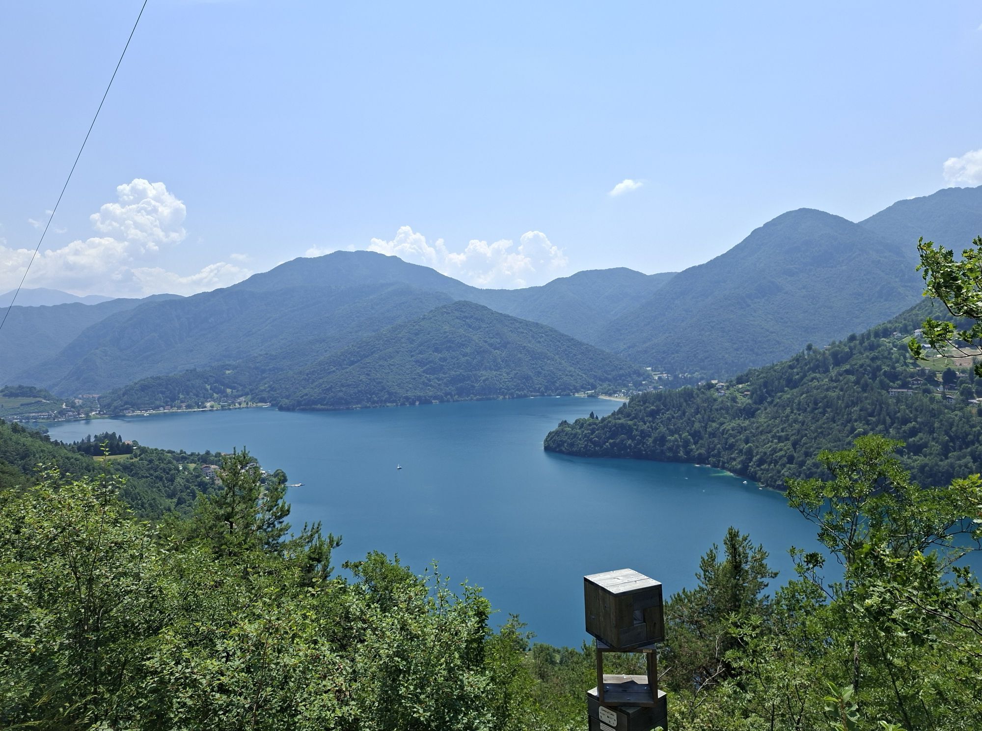
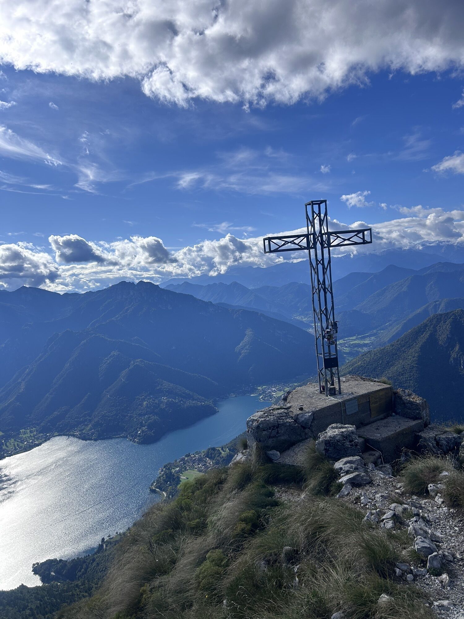
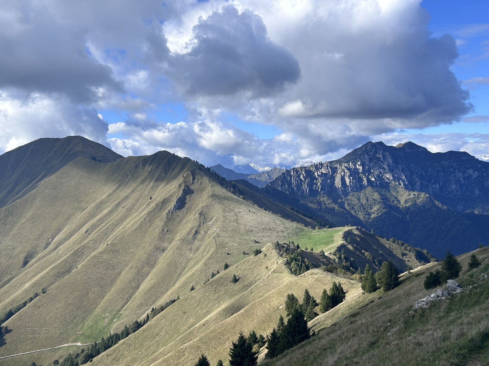
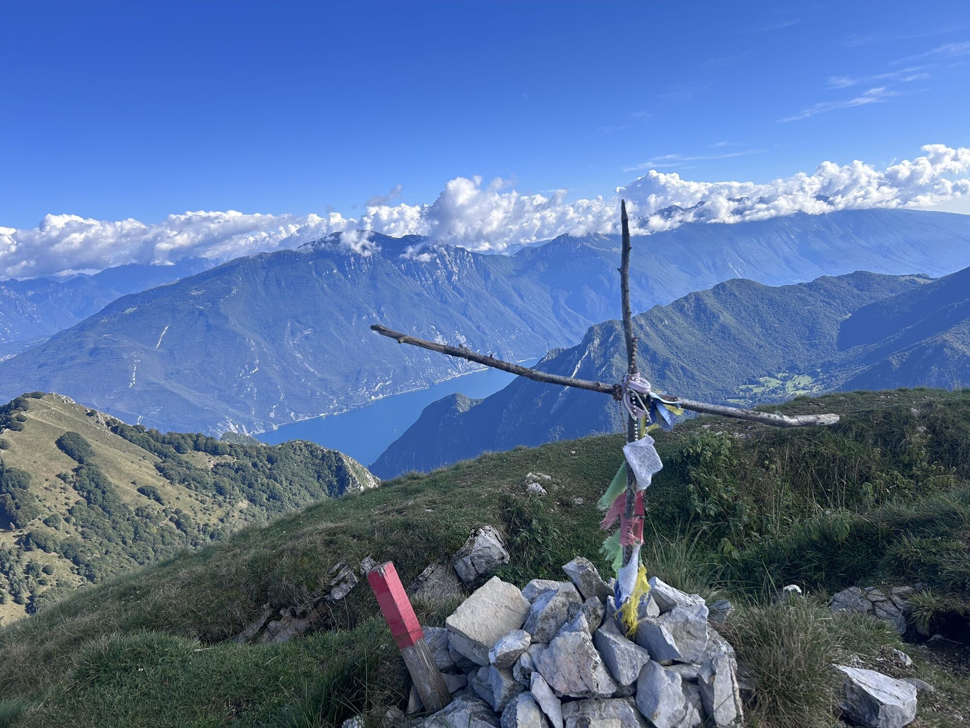
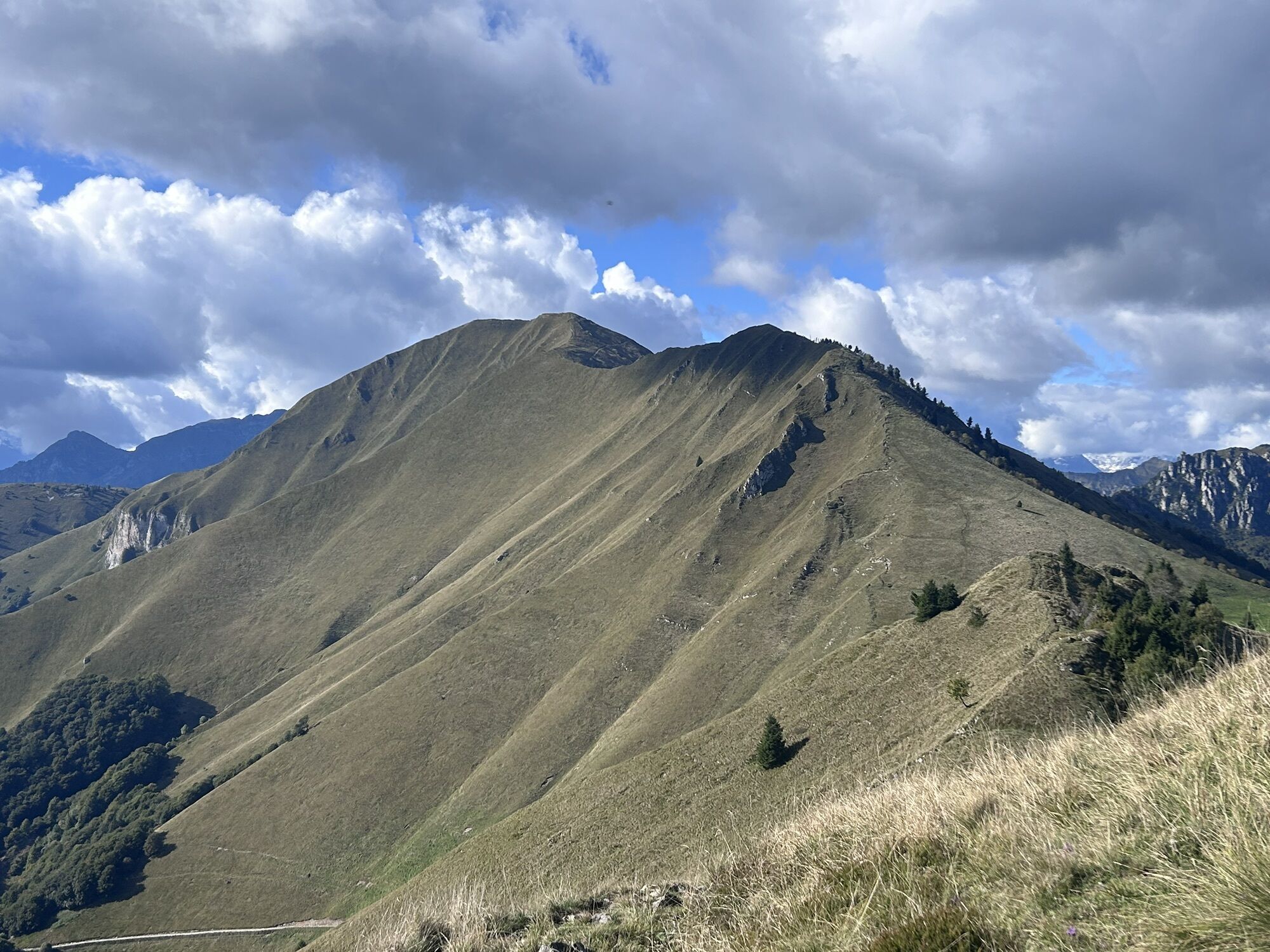
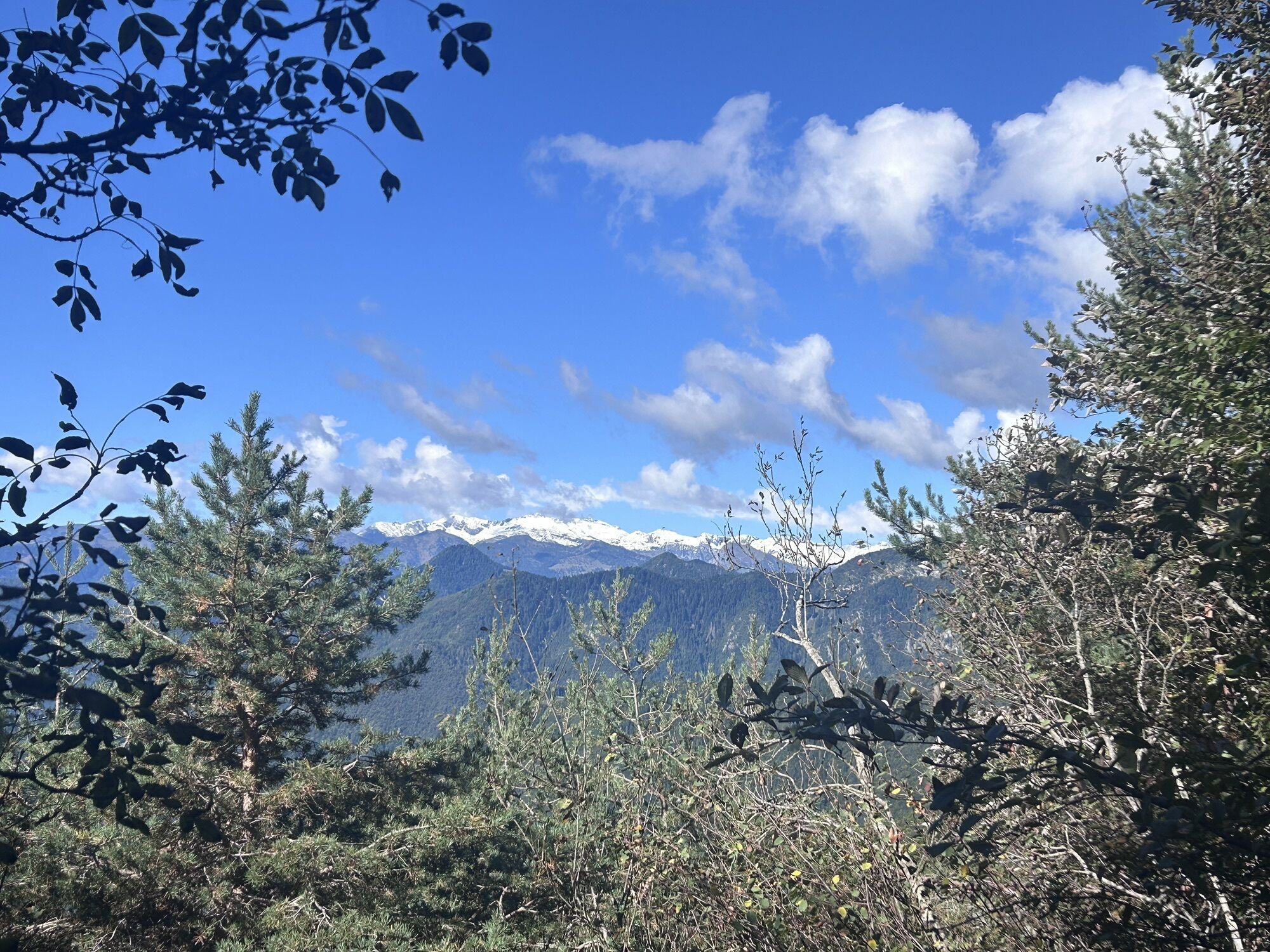
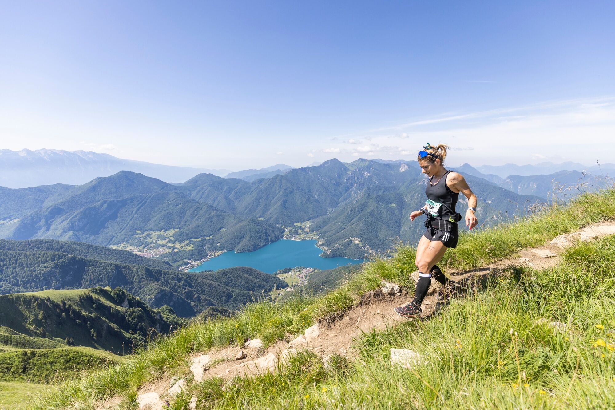
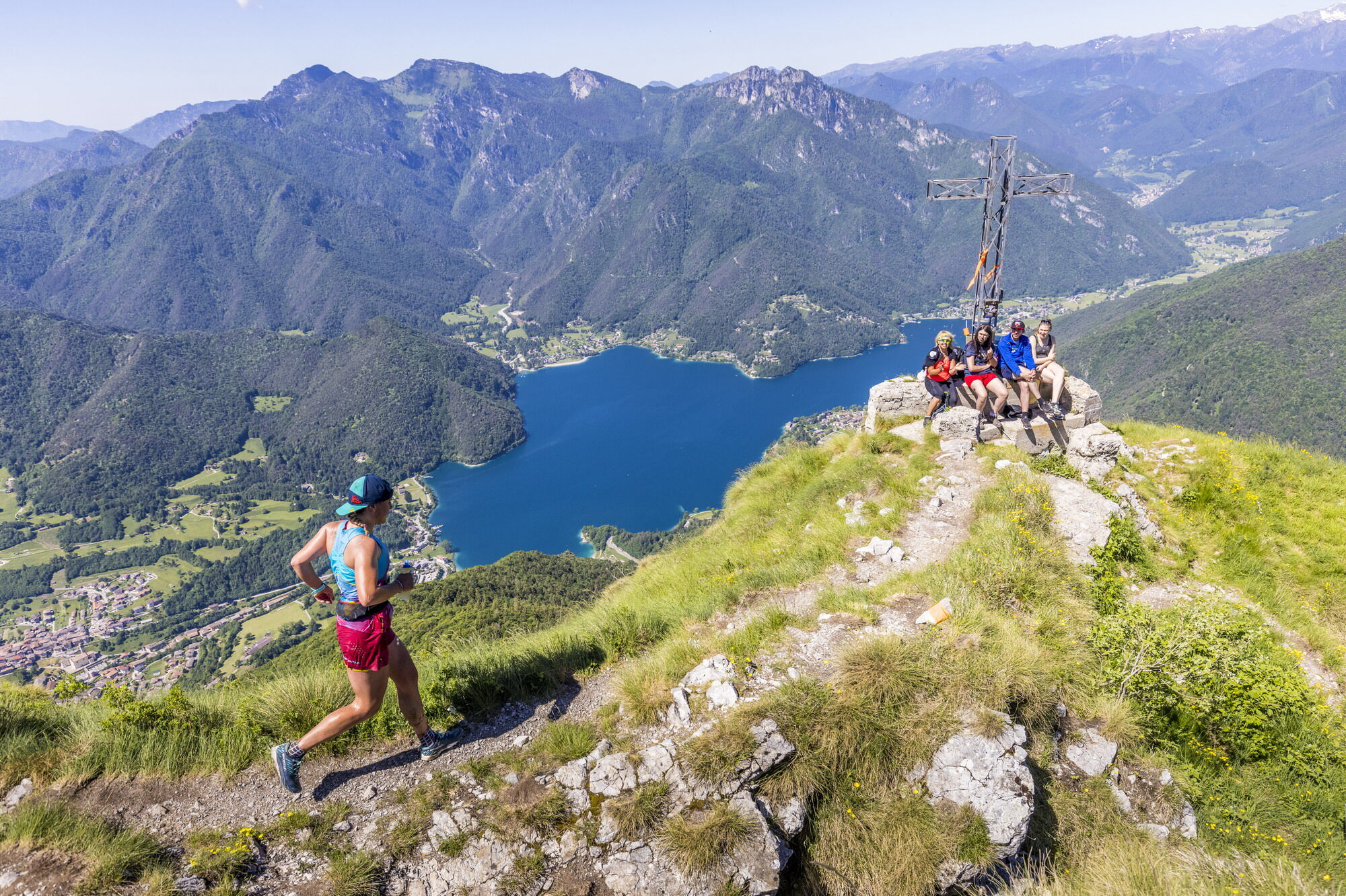
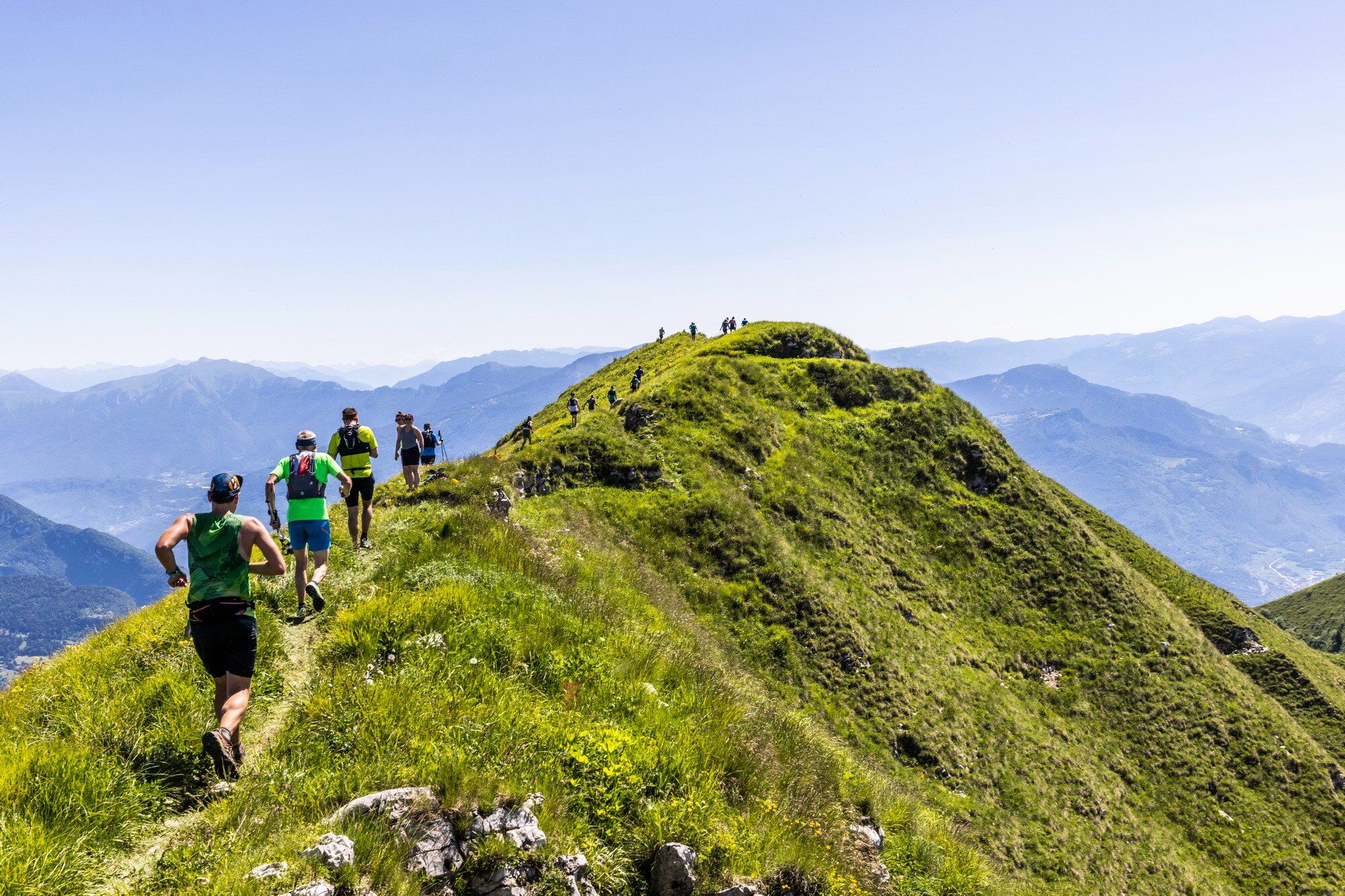
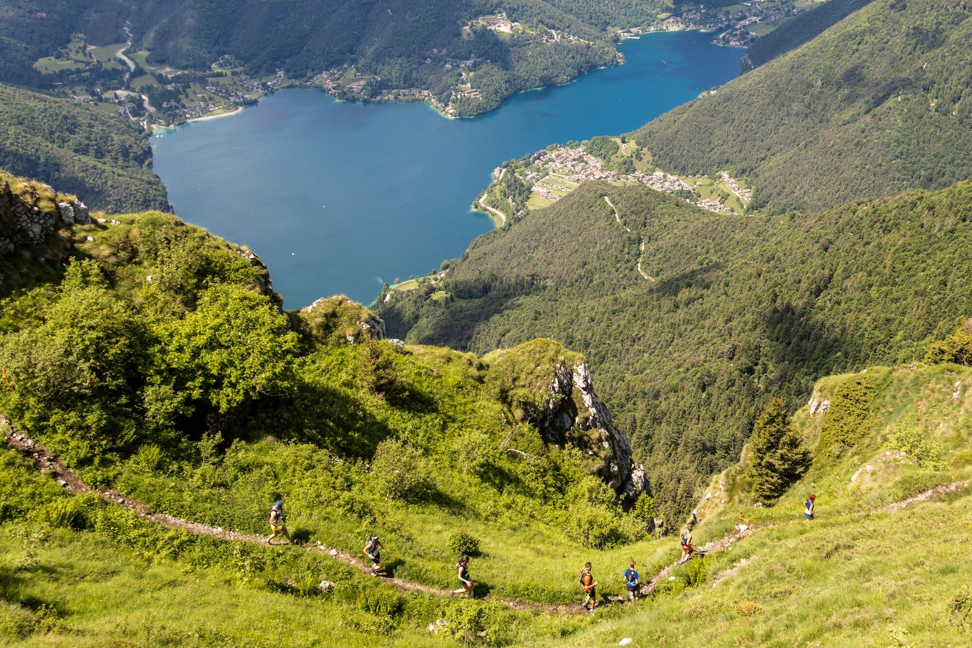
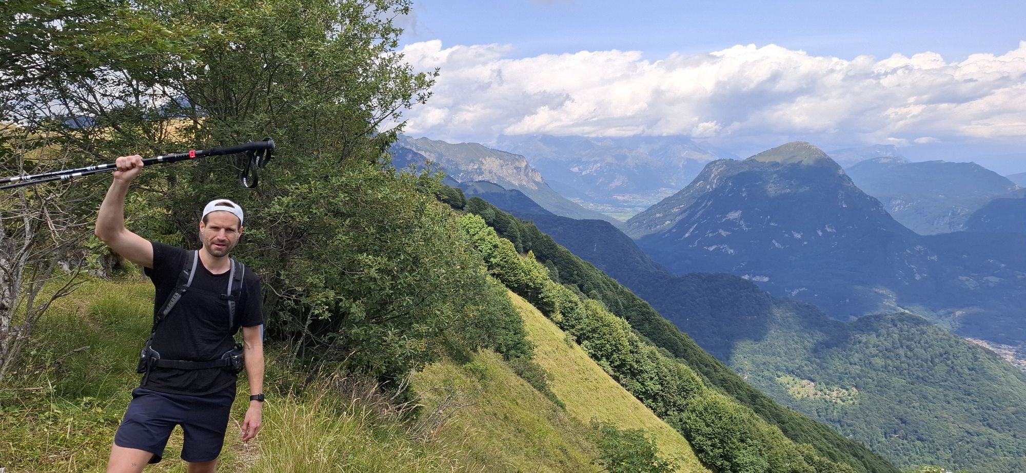
Once past the treeline, the route unfolds along the ridge, offering breathtaking views stretching from the Brenta Dolomites to Lake Ledro and Lake Garda. The ridge section crosses the Pichea-Rocchetta...

Opis
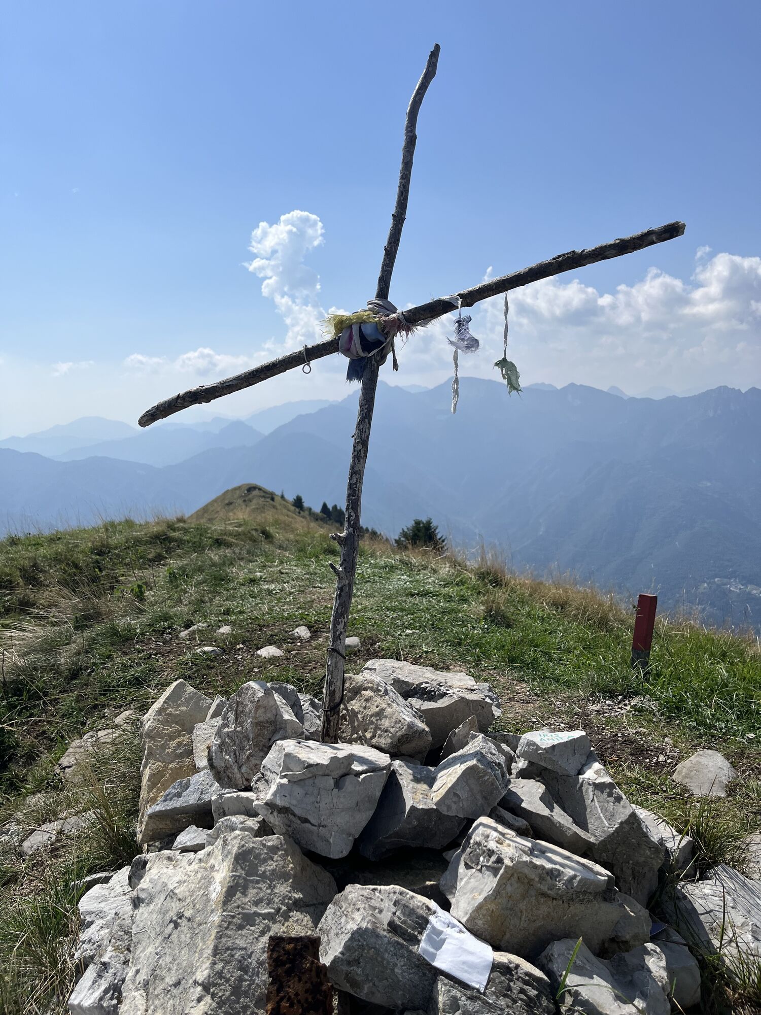
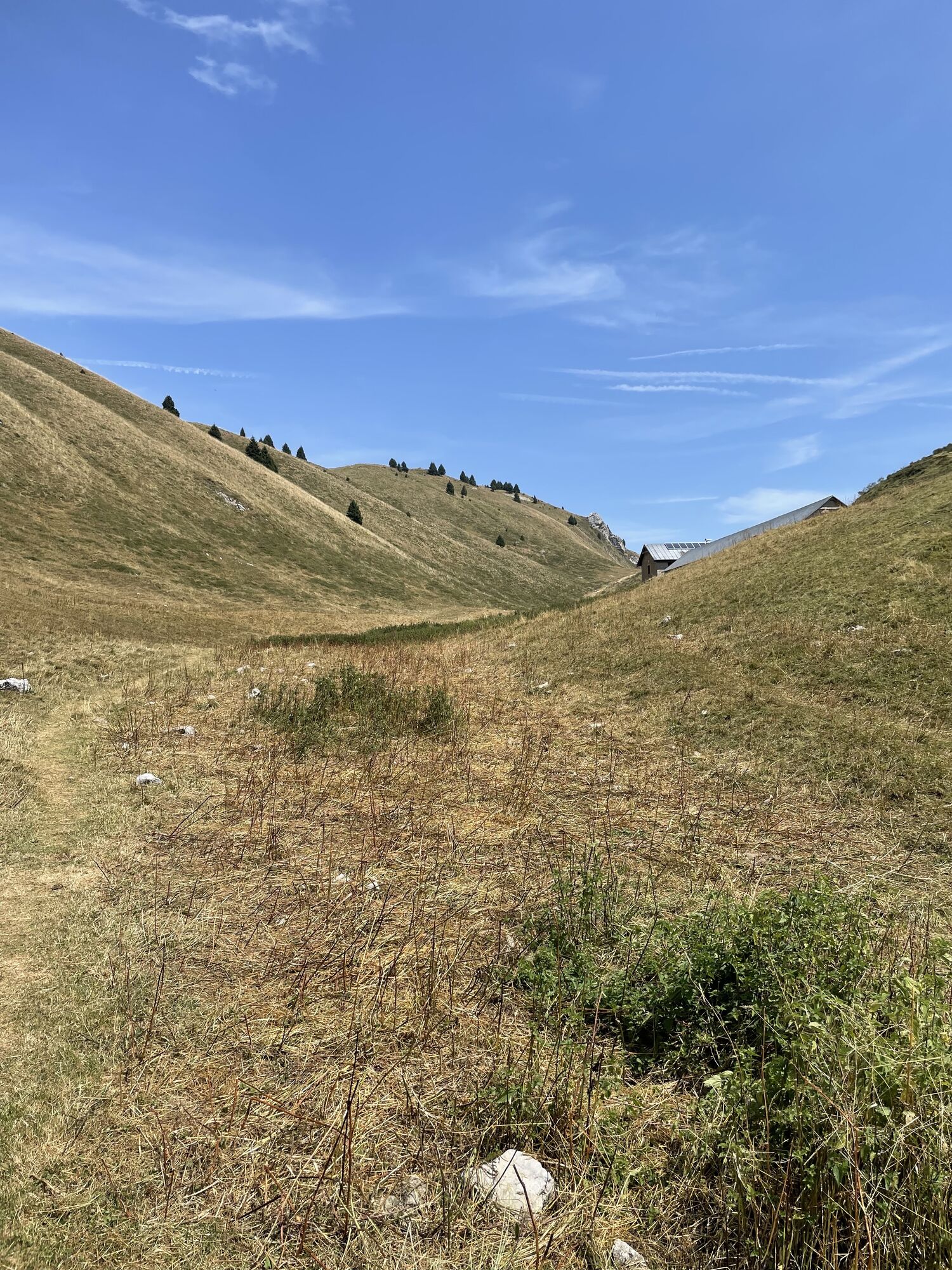
Once past the treeline, the route unfolds along the ridge, offering breathtaking views stretching from the Brenta Dolomites to Lake Ledro and Lake Garda. The ridge section crosses the Pichea-Rocchetta SCI (Site of Community Importance), an area of outstanding natural and wildlife value that is part of the UNESCO Biosphere Reserve Alpi Ledrensi and Judicaria.

Registration opens in September — for more information, please visit the official website.

Pot
Mezzolago
(665 m)
Vas
1.3 km
Monte Caret
(1,793 m)
Vrh
7.4 km
Cima Parì
(1,991 m)
Vrh
9.2 km
Osservatoio Cima Oro
(1,690 m)
Koridor/teren
13.0 km
Sella
(1,425 m)
Koridor/teren
13.7 km
Mezzolago
(665 m)
Vas
18.2 km
Chiesa dell'Annunciazione di Maria
(661 m)
Kraj čaščenja
20.5 km
Pot
Zemljevid
Ledro Sky Trentino
težko
Trailrunning
21.12 km
Mezzolago
(665 m)
Vas
1.3 km
Pieve di Ledro
(660 m)
Vas
2.7 km
Coste Bariolo
(935 m)
Koridor/teren
3.1 km
Ravel
(1,070 m)
Koridor/teren
3.6 km
Cornesei
(1,093 m)
Koridor/teren
3.8 km
Monte Caret
(1,793 m)
Vrh
7.4 km
Cima Parì
(1,991 m)
Vrh
9.2 km
Cima Sclapa
(1,887 m)
Vrh
10.0 km
Cima d'Oro
(1,802 m)
Vrh
12.3 km
Osservatoio Cima Oro
(1,690 m)
Koridor/teren
13.0 km
Alle Scale
(1,620 m)
Koridor/teren
13.2 km
Sella
(1,425 m)
Koridor/teren
13.7 km
Al Corn
(979 m)
Koridor/teren
15.8 km
Ghinova
(763 m)
Koridor/teren
17.8 km
Mezzolago
(665 m)
Vas
18.2 km
Pieve di Ledro
(660 m)
Vas
20.3 km
Chiesa dell'Annunciazione di Maria
(661 m)
Kraj čaščenja
20.5 km
Informacije o turneji

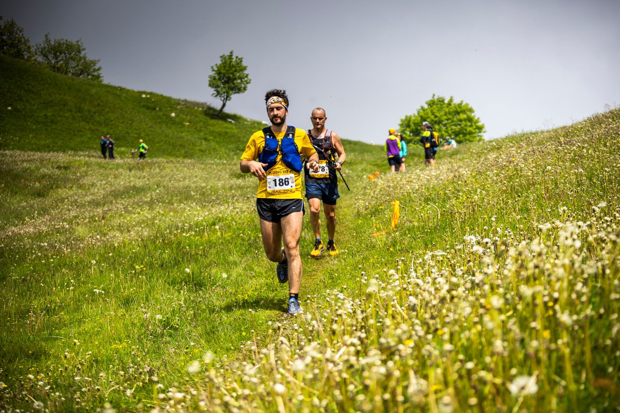
The course of the Grand Finale of the Golden Trail World Series, organized by Salomon, closely follows the route of the Ledro Sky, a historic trail running race held every June in Valle di Ledro.

Tehnologija
2 / 6
Stanje
6 / 6
Pokrajina
6 / 6
Izkušnje
6 / 6
Najboljši letni čas
Jan
Feb
Mar
Apr
Maj
Jun
Jul
Avg
Sep
Okt
Nov
Dec
Avtor
Zagotavlja Garda Trentino
Logo
Skupna turneja
Zemljevid
Ledro Sky Trentino
težko
Trailrunning
21.12 km
Napaka
Zgodila se je napaka. Prosimo, poskusite znova.
Informacije o poti
Pot
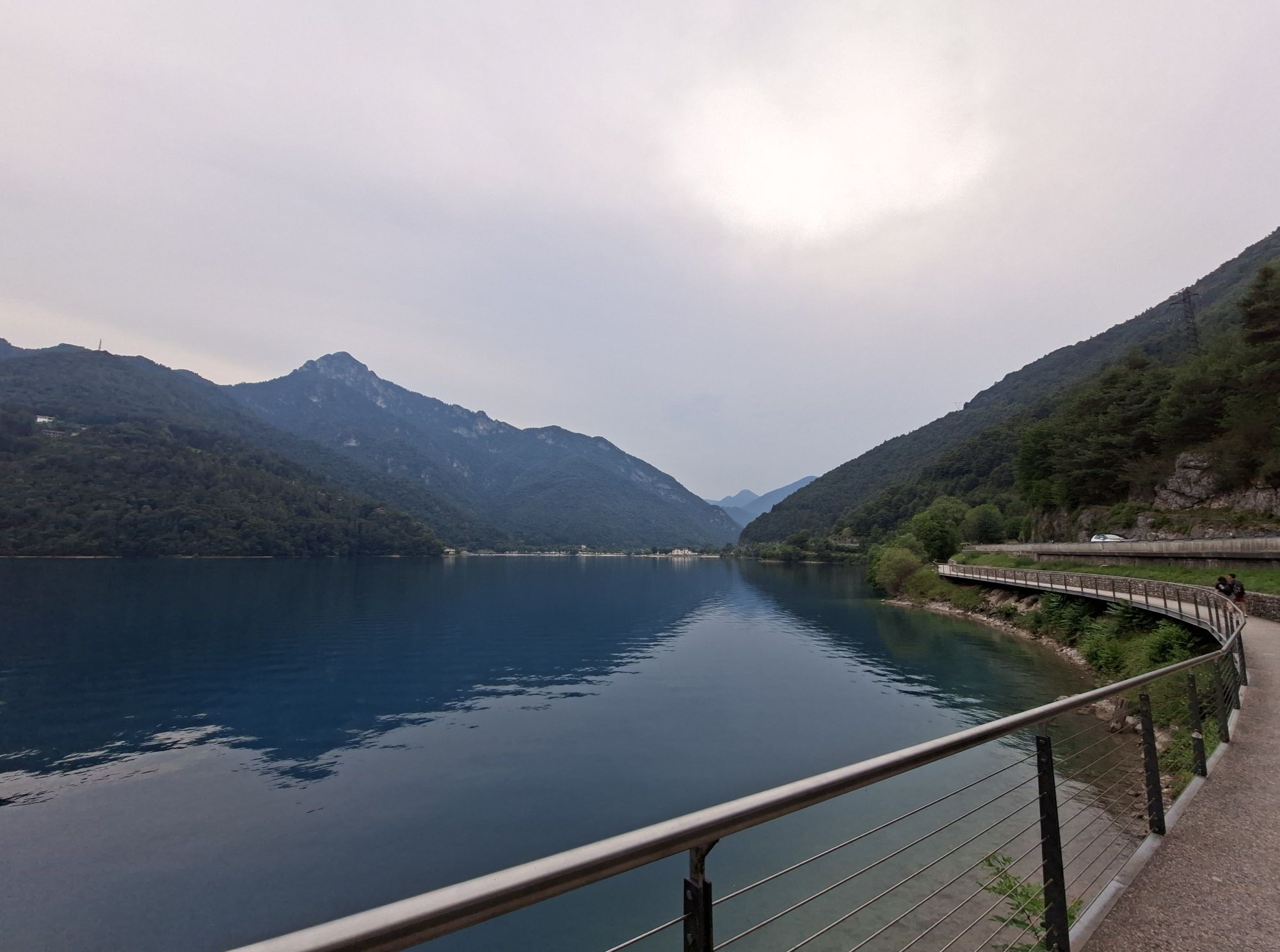
From the starting point, follow the lakeside path almost as far as Mezzolago, then climb along the Sentiero dei Piloni until it meets trail SAT 454, which leads up to Malga Saval. After crossing the Sella della Cocca, continue towards the pastures of the Saval basin and reach the malga. From here, the route heads towards Monte Carèt before descending again to Bocca Saval. At this point begins the ascent to Cima Parì, the highest peak of the itinerary.

From the summit, take the Senter dele Greste, which follows the ridge at high altitude all the way to Cima Sclapa. A steep descent leads to Bocca Dromaè, from where the trail climbs up again to Cima d’Oro. Following the trenches, the path reaches the Coste di Salò. From here, the botanical trail leads to the Fior di Bella area, and at Mezzolago the Sentiero dei Piloni (Ledro Trek Low) is taken again to return to Pieve.

Ogled vrha

Da

Varnostna navodila
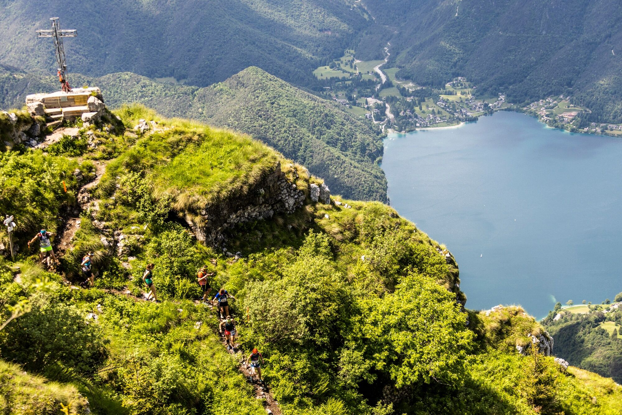
The trail connecting Cima Parì and Bocca Dromaè is a technical and exposed section that requires maximum caution.

As with all mountain routes, accessibility strongly depends on natural and weather conditions and may vary over time. Before setting off, always check the state of the trail by contacting local hut managers, mountain guides, nature park visitor centers, or tourist offices.

Informacije o prihodu
Prihod

Exit the A22 motorway at Rovereto Sud – Lago di Garda. Follow the SS240 della Val di Ledro to Pieve di Ledro

Javni prevoz

Valle di Ledro is connected to Riva del Garda by the intercity bus line 214 (Riva-Valle di Ledro-Storo).

Up-to-date information on timetables and routes.

Parkirišče

Parking spaces available in Pieve di Ledro 

Dodatne informacije in nasveti
Stopnja težavnosti

T2
Nasveti

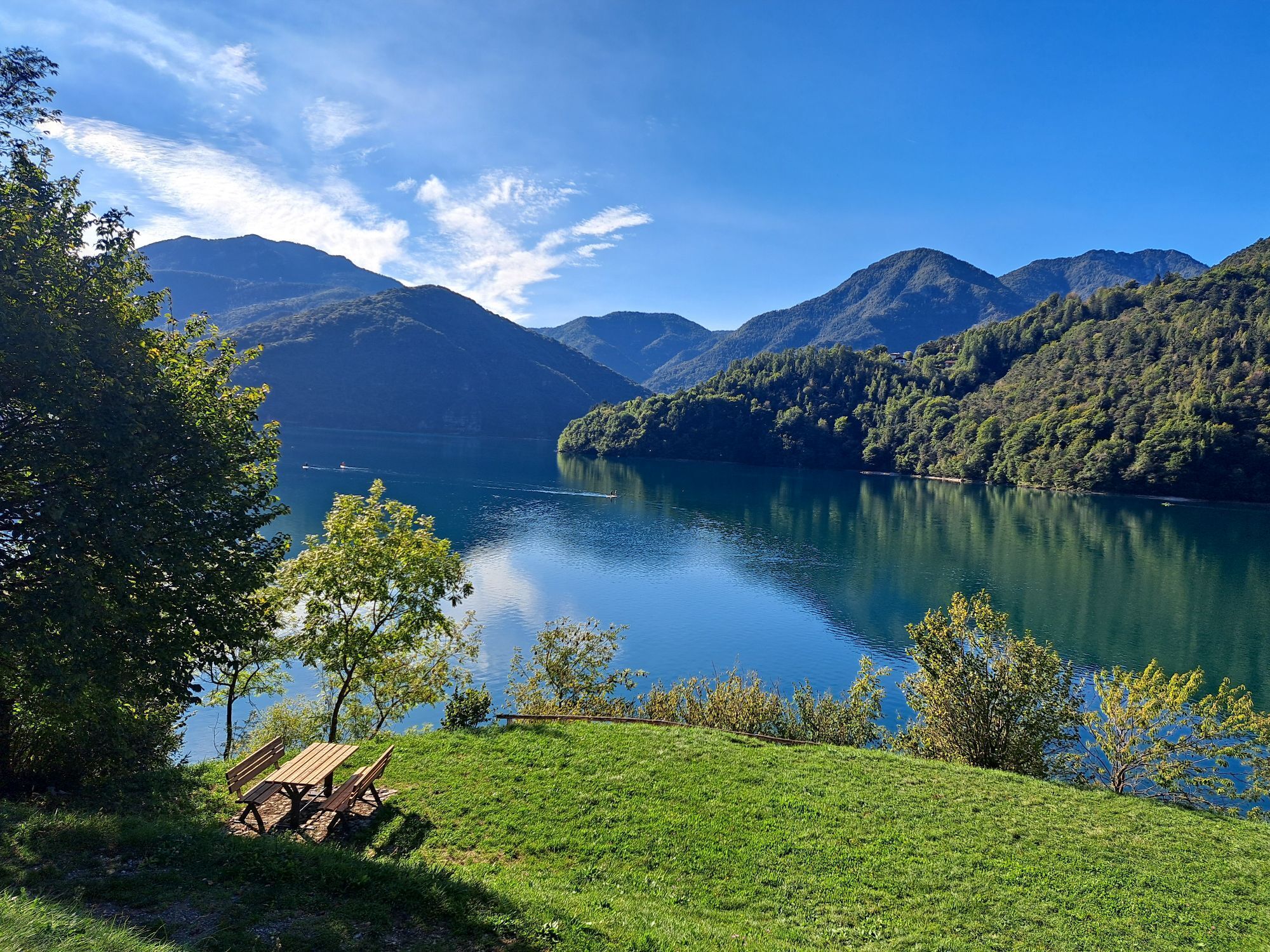
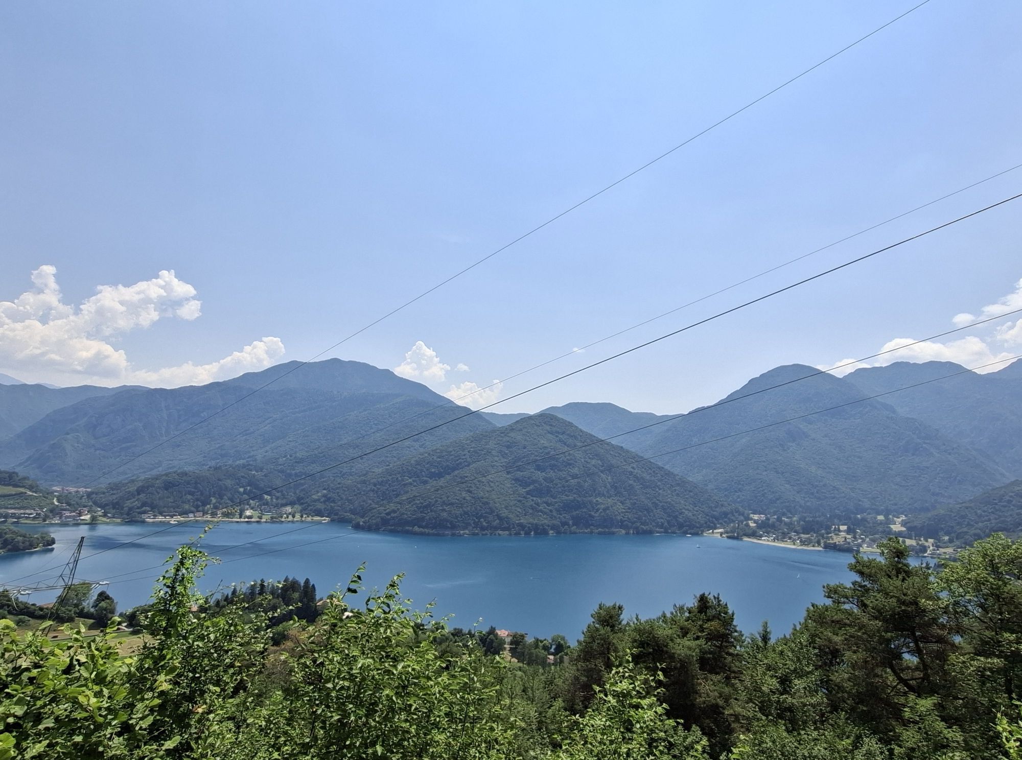
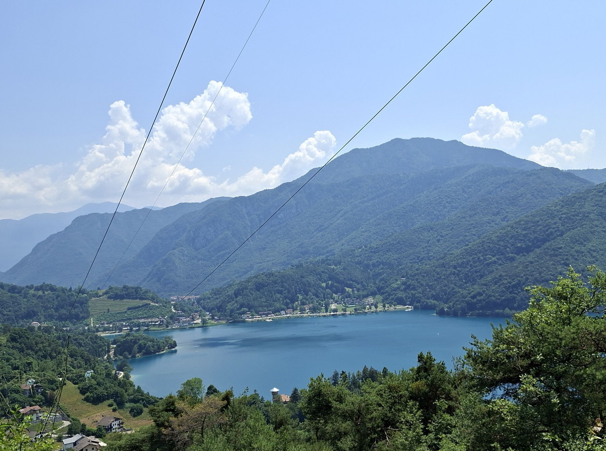
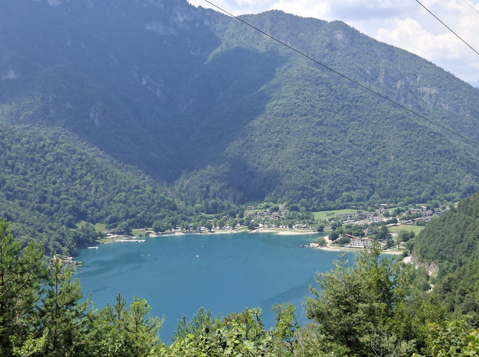
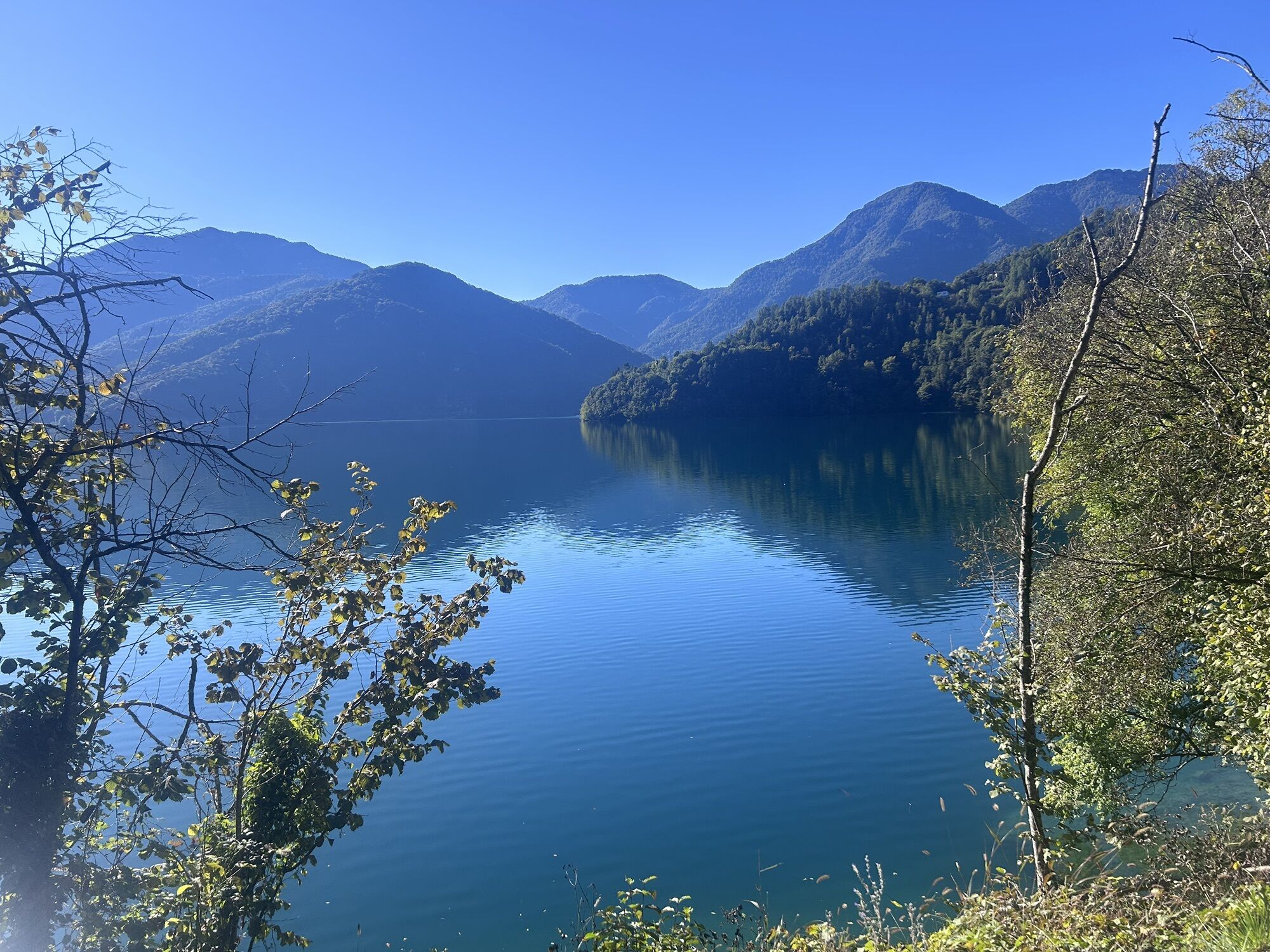
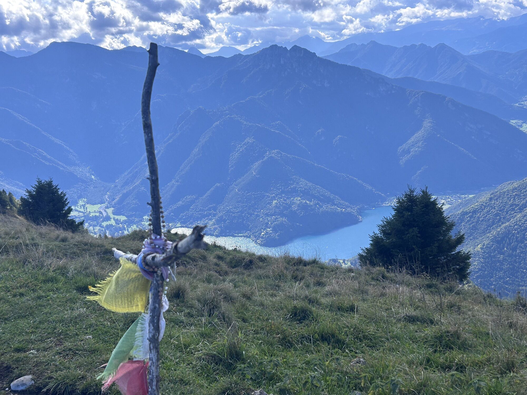
From the ridges, runners can admire no fewer than four lakes: Ledro, Garda, Tenno and Molveno.

Pohodništvo in sledenje

Pohodništvo in sledenje

Pohodništvo in sledenje
Zaradi več kot 550.000 predlogov izletov, podrobnih zemljevidov in intuitivnega načrtovanja poti je aplikacija obvezna oprema za vse ljubitelje narave.
bergfex