






Marmot Trail
Stopnja težavnosti: T1
Along the route, eight wooden boxes created by the artist Francesco Avancini hold miniature scenes of marmot life, telling the thrilling story of Margot and her journey in the heart of the Dolomites to...
An interactive experience combining play, exploration, and love for nature, engaging the little ones with collectible stickers and a mission to complete. An adventure for the whole family, where imagination and discovery intertwine in a spectacular setting!

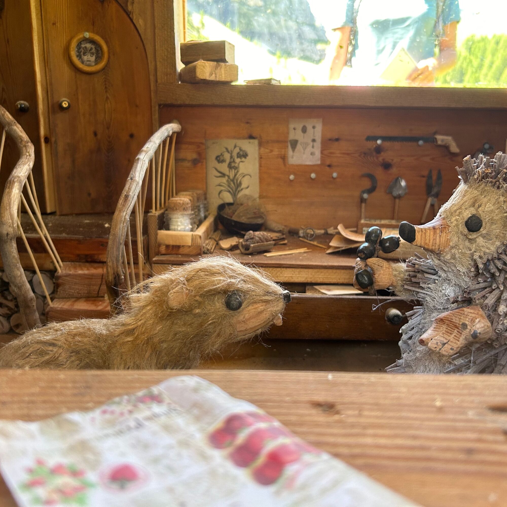
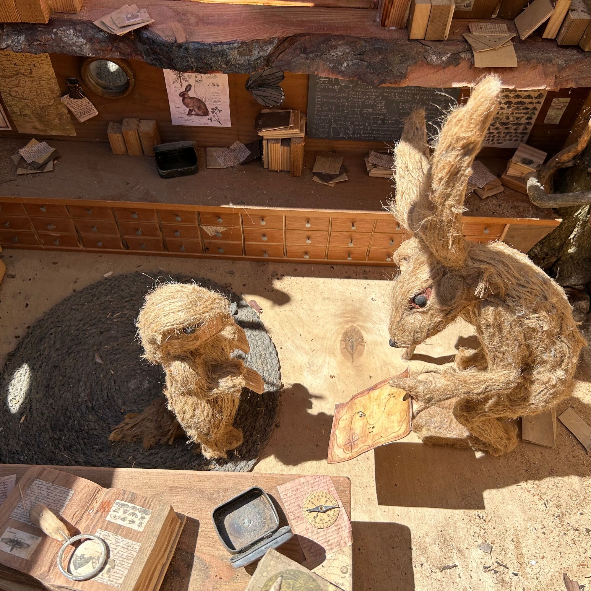
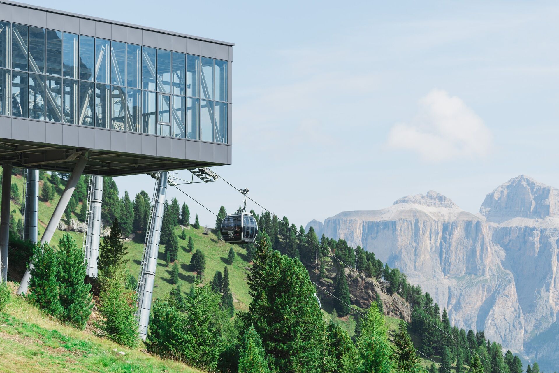
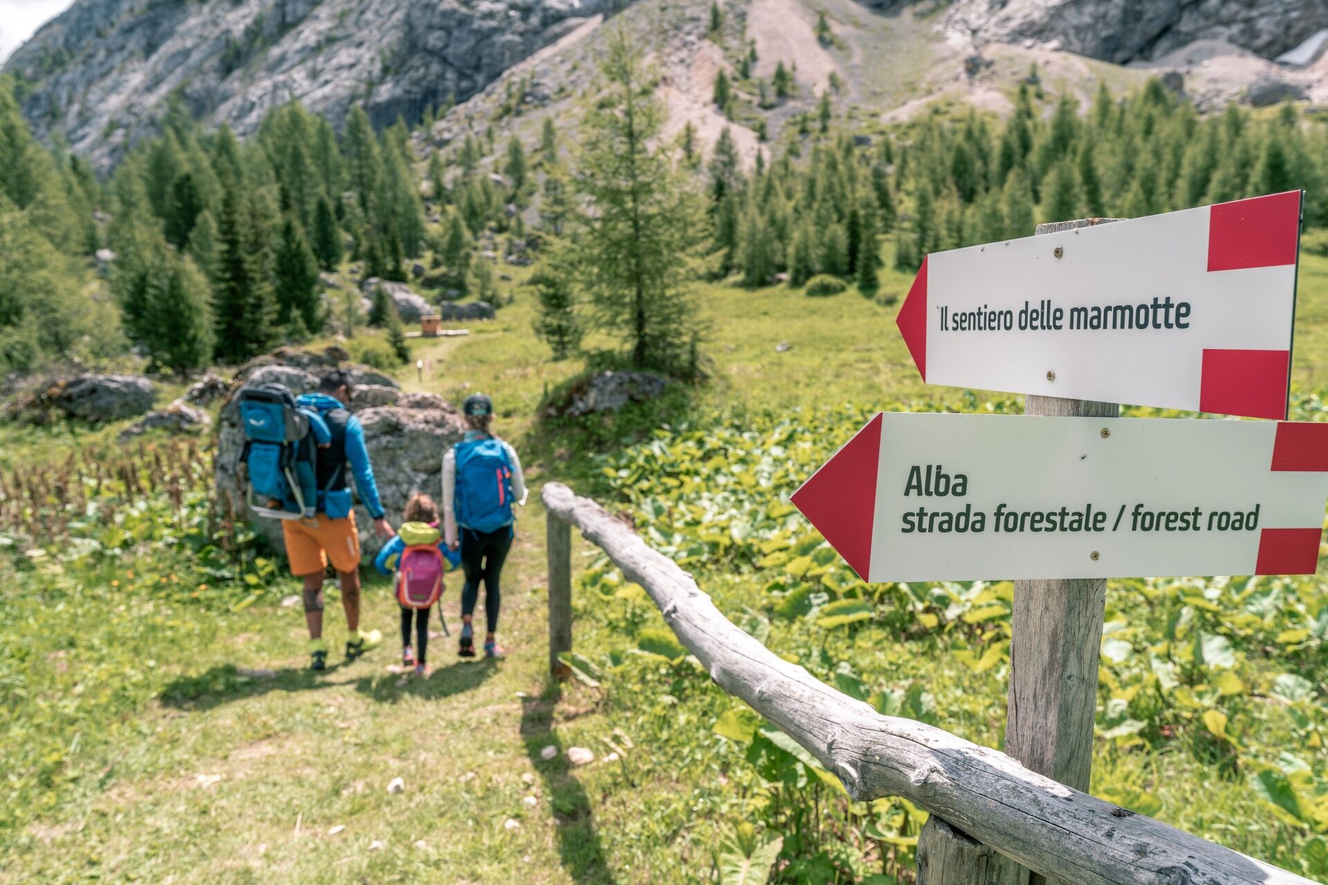
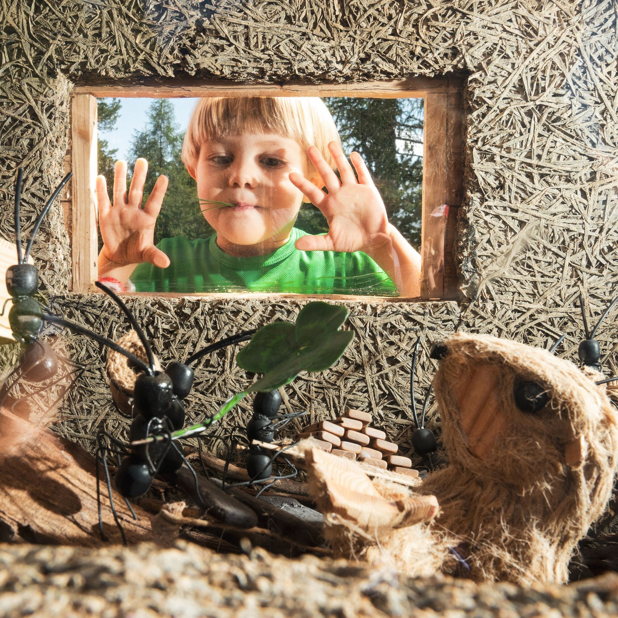
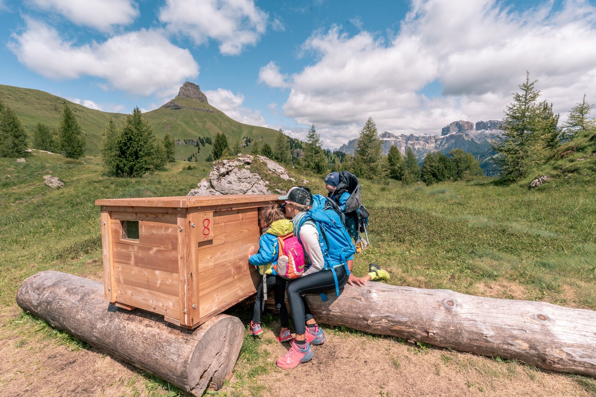
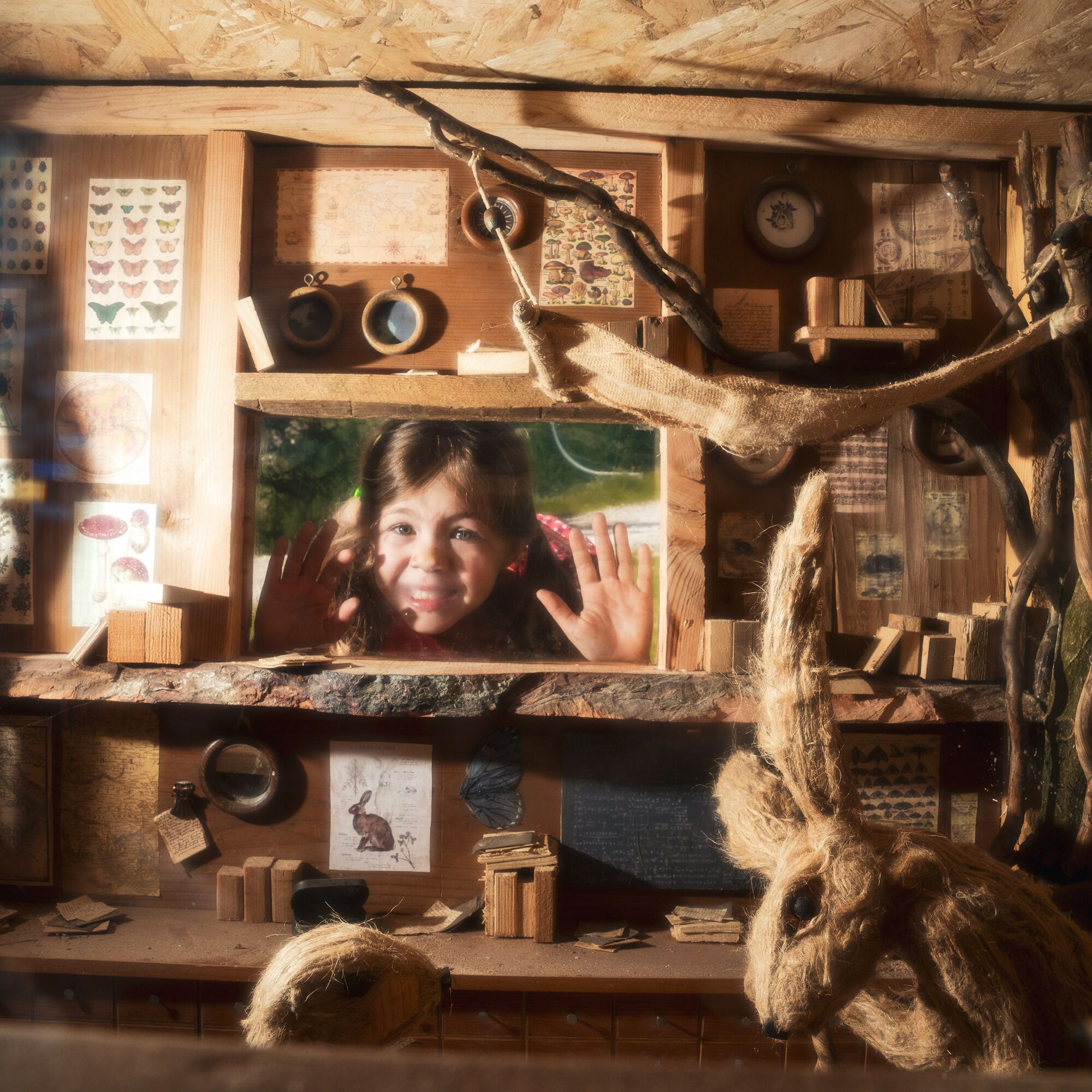
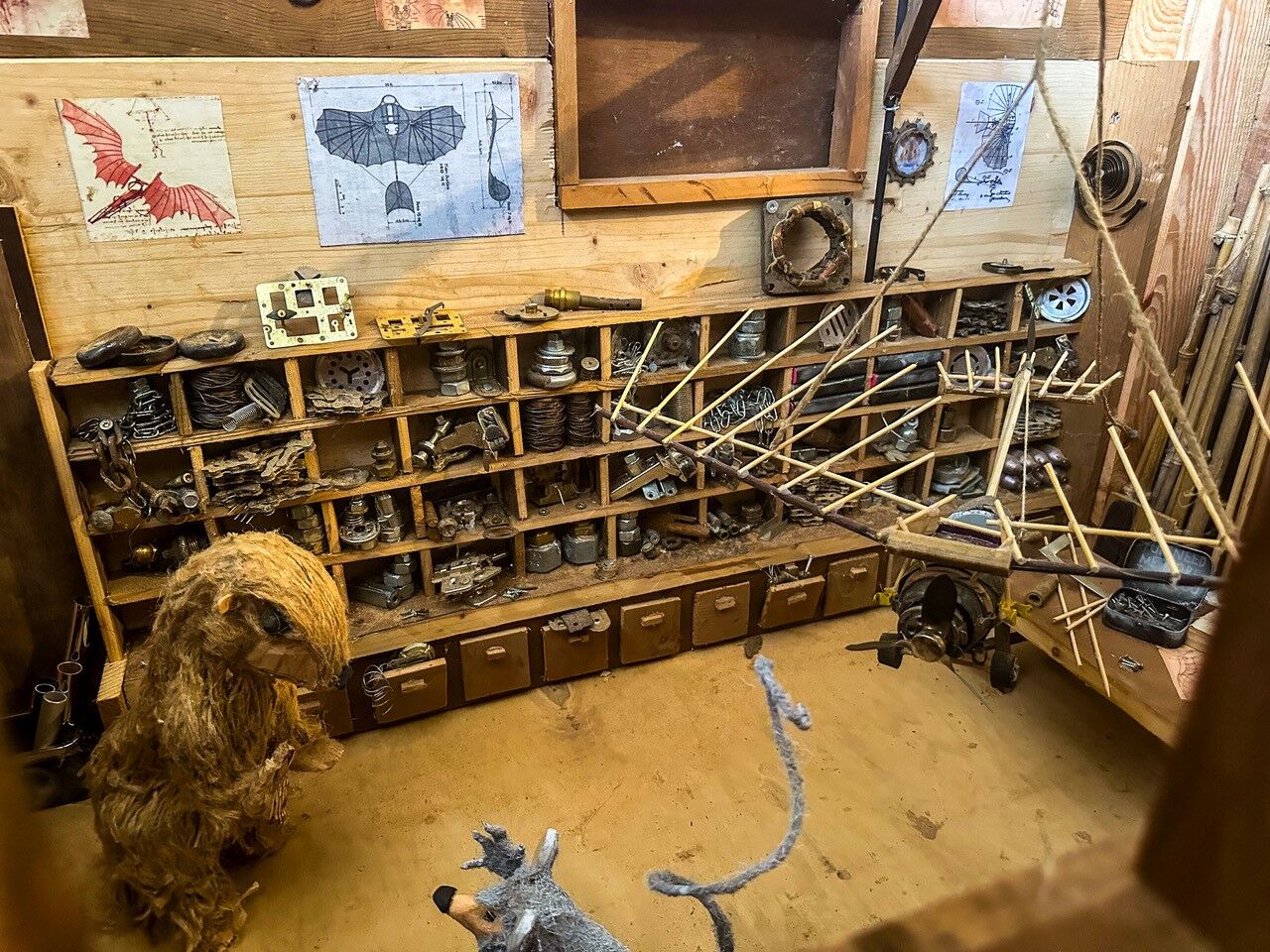
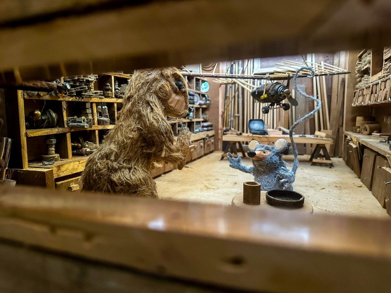
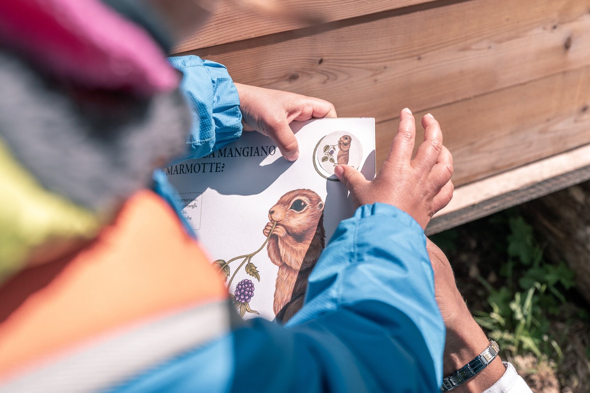
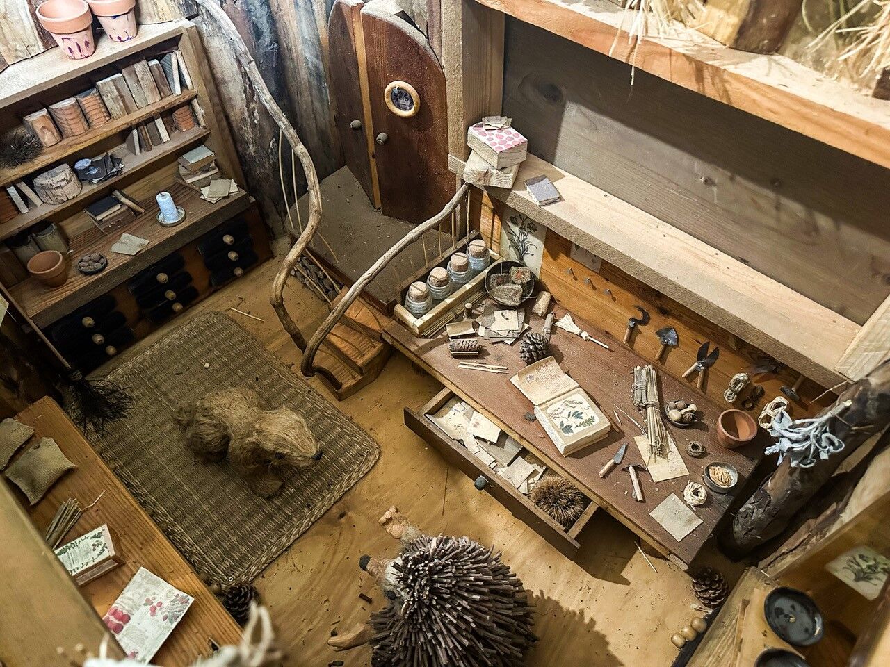
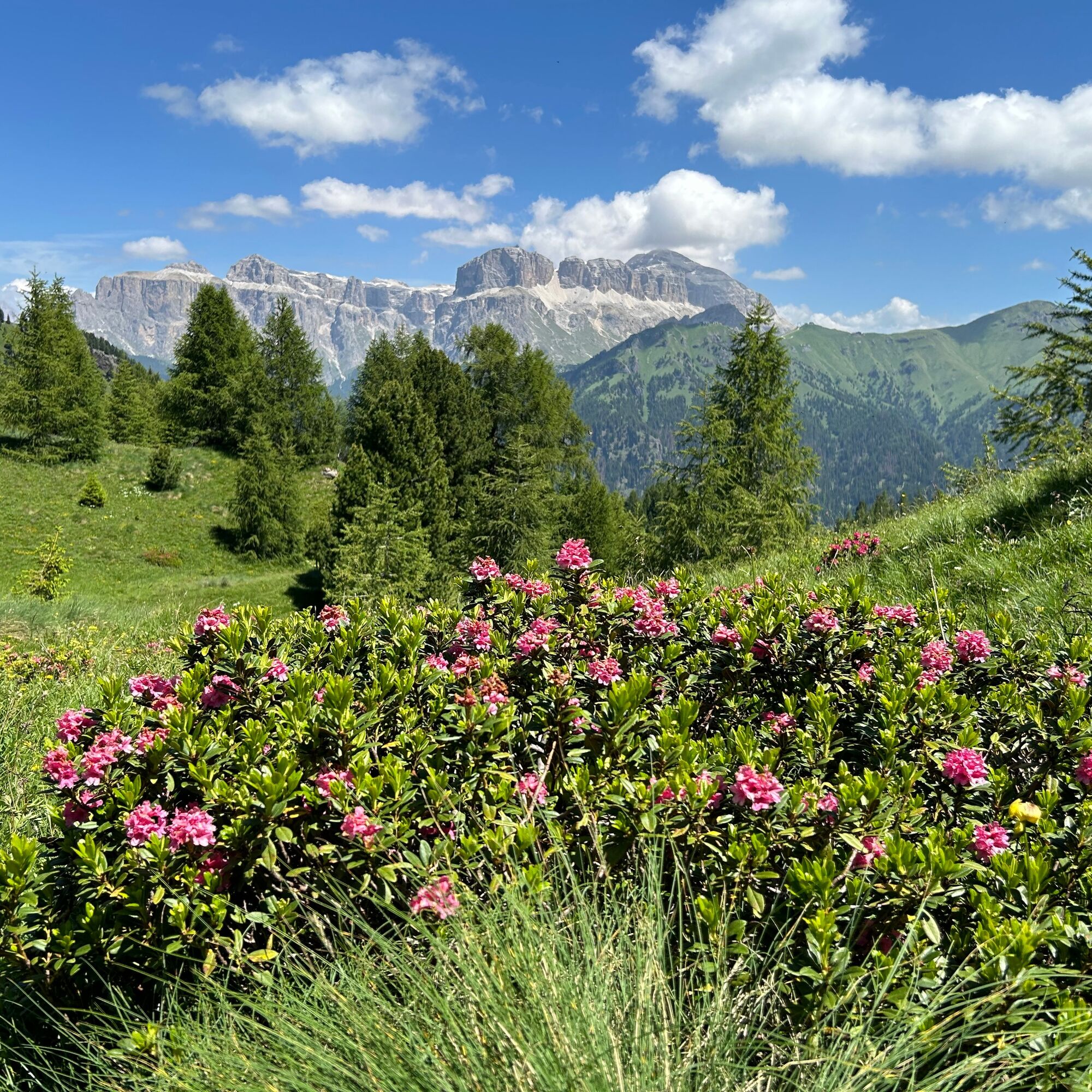
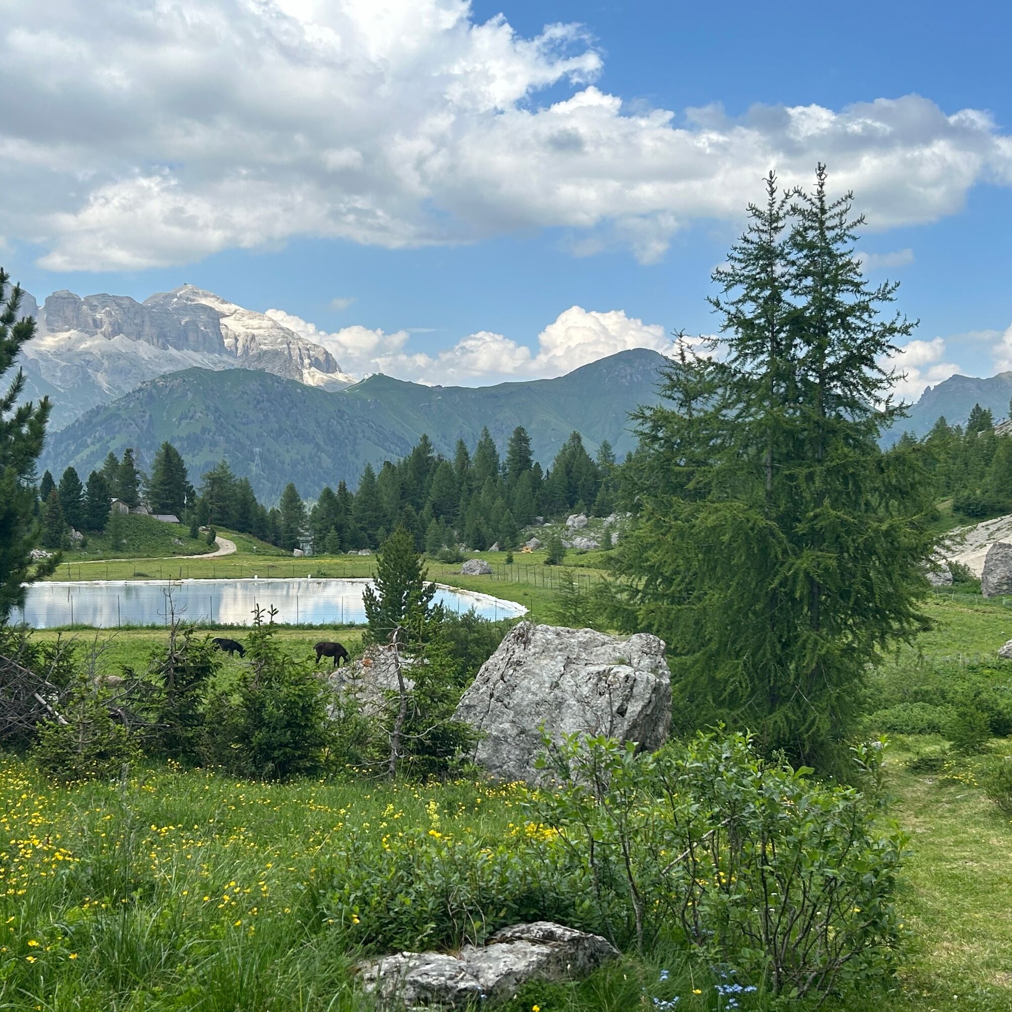
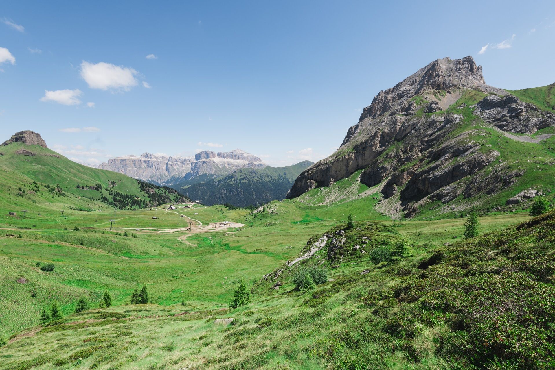
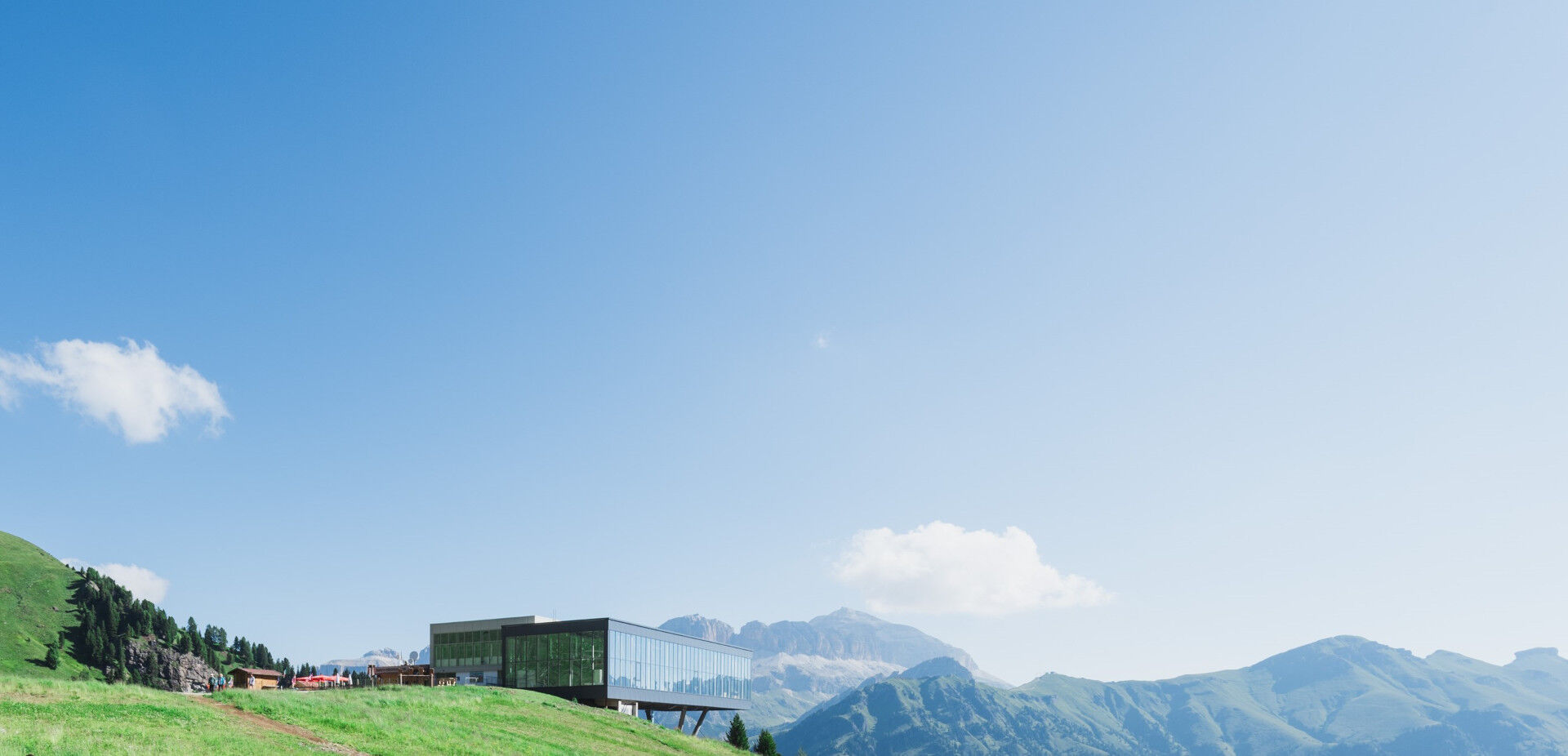

From Alba di Canazei, take the gondola lift up to Ciampac, where a scenic trail immersed in nature awaits you. At the top station, turn right and walk towards the playground, where you will find the Info Point hut. Here, you can pick up the illustrated booklet, your adventure companion along the route. Then cross the basin in the opposite direction, passing by Rifugio Ciampac, and follow the ski slope downhill for about 400 metres. Before the large bend, take the path on the right that passes by a few mountain huts. The trail is mostly flat, running between the rocky slopes of Colac on one side and the small artificial lake on the other. After a short uphill section, you will reach the highest point of the route, in the heart of marmot territory. Pause for a moment: the mountain sentinels are already on alert, ready to sound their warning whistle before darting back into their burrows. From here, the trail gently winds through green alpine meadows, leading you back to the starting point while the breathtaking Dolomite panorama accompanies you along the way.
And to round off the experience perfectly, four cosy mountain huts await you for a delicious Ladin lunch or a tasty snack - the perfect way to recharge after your walk.
Da
Da
Da
Carry in your backpack the necessary items for possible emergency situations, along with a minimal first aid kit.
1. Plan the hike according to your abilities and the weather.
2. Go slow, enjoy the view and the silence.
3. Inform someone you trust about the itinerary and the expected return time.
4. Rely on mountain professionals.
5. Help those in difficulty. In case of real need and emergencies call 112.
6. Make sure to have suitable clothing and equipment with you, enough water and some snacks.
7. Respect the environment around you and its inhabitants by taking your waste down the mountain.
8. Follow marked trails avoiding those of the bike park.
9. To protect the wonders of nature, leave every element in its place.
10. Bring your animal friend along, but only on a leash.
Other access routes to Val di Fassa
From the A27 motorway (Venice), Belluno/Ponte nelle Alpi exit: SS 203 to Agordo, then SP 346 over Passo San Pellegrino to Moena (Val di Fassa). From the Moena bypass, continue towards Canazei From the A27 motorway (Venice), Belluno/Ponte nelle Alpi exit: SS 203 to Agordo/Alleghe/Rocca Pietore, then SP 641 over Passo Fedaia to Canazei From Arabba: SS 48 over Passo Pordoi to Canazei From Val Gardena: SS 242 over Passo Sella to Canazeisüdtirolmobil bus lines - Val di Fassa
Line 180: Vigo di Fassa - Passo Carezza - Bolzano- Nearest bus stop (Trentino Trasporti): Alba di Canazei (Strèda de Costa)
Parking at the Ciampac cable car valley station (paid).
T1
Val di Fassa Tourism Board
Strèda Roma, 36
38032 Canazei (TN)
Tel. 0462 609500
info@fassa.com
www.fassa.com
Take the cable car from Alba di Canazei to Ciampac (the Panorama Pass is valid, or you can purchase a return ticket at the lift ticket office).
A booklet is available for € 5 from the Info Point.
Spletne kamere s turneje
-
Canazei - Col dei Rossi
-
Canazei - Col dei Rossi
-
Canazei - Col dei Rossi
-
Pozza di Fassa - Buffaure
-
Canazei - Col dei Rossi
-
Canazei - Col dei Rossi
-
Canazei - Col dei Rossi
-
Canazei - Col dei Rossi
-
Canazei - Col dei Rossi
-
Canazei - Col dei Rossi
-
Canazei - Col dei Rossi
-
Canazei - Col dei Rossi
-
Canazei - Col dei Rossi
-
Canazei - Col dei Rossi
-
Pozza di Fassa
Pridobite vpogled
Vedno v živo na mestu z več kot 9.500 spletnimi kamerami. bergfex Kot uporabnik Pro si lahko zdaj ogledate ustrezne spletne kamere za številne izlete v aplikaciji izleti iz. Tako si lahko neposredno ogledate trenutne razmere.
Priljubljeni izleti v okolici
-
4.6
Pordoi Pass - Sass Pordoi - Forcella Pordoi - Piz Boè - Boè Refuge - Forcella Pordoi - Pordoi Pass
težkoPohodništvo 8.39 km -
5.0
Um den Langkofel
srednjaPohodništvo 9.76 km -
4.9
Lang- und Plattkofel Umrundung
srednjaPohodništvo 17.5 km -
4.8
Santnerpass Klettersteig
srednjaVia ferrata 8.29 km -
4.8
Langkofel-Umrundung
srednjaPohodništvo 12.9 km -
4.0
Der Friedrich-August-Weg
srednjaPohodništvo 10.4 km -
5.0
Langkofel Klettersteig/Ferrata Furcela de Saslonch
težkoVia ferrata 7.07 km -
4.8
Pisciadùsteig Sella Gruppe
srednjaVia ferrata 7.15 km -
4.7
Compatsch - Piz - Saltria - Joch - Compatsch
srednjaPohodništvo 16.8 km -
4.4
Dolomiten Sellagruppe, Alb. Col di Lana, Sas de Pordoi, Piz Boé retour 22.06.2016
srednjaPohodništvo 5 km
Pohodništvo in sledenje


Ne zamudite ponudb in navdiha za naslednje počitnice
Vaš e-poštni naslov je bil dodan na poštni seznam.





