







Snowshoeing on Monte Stivo
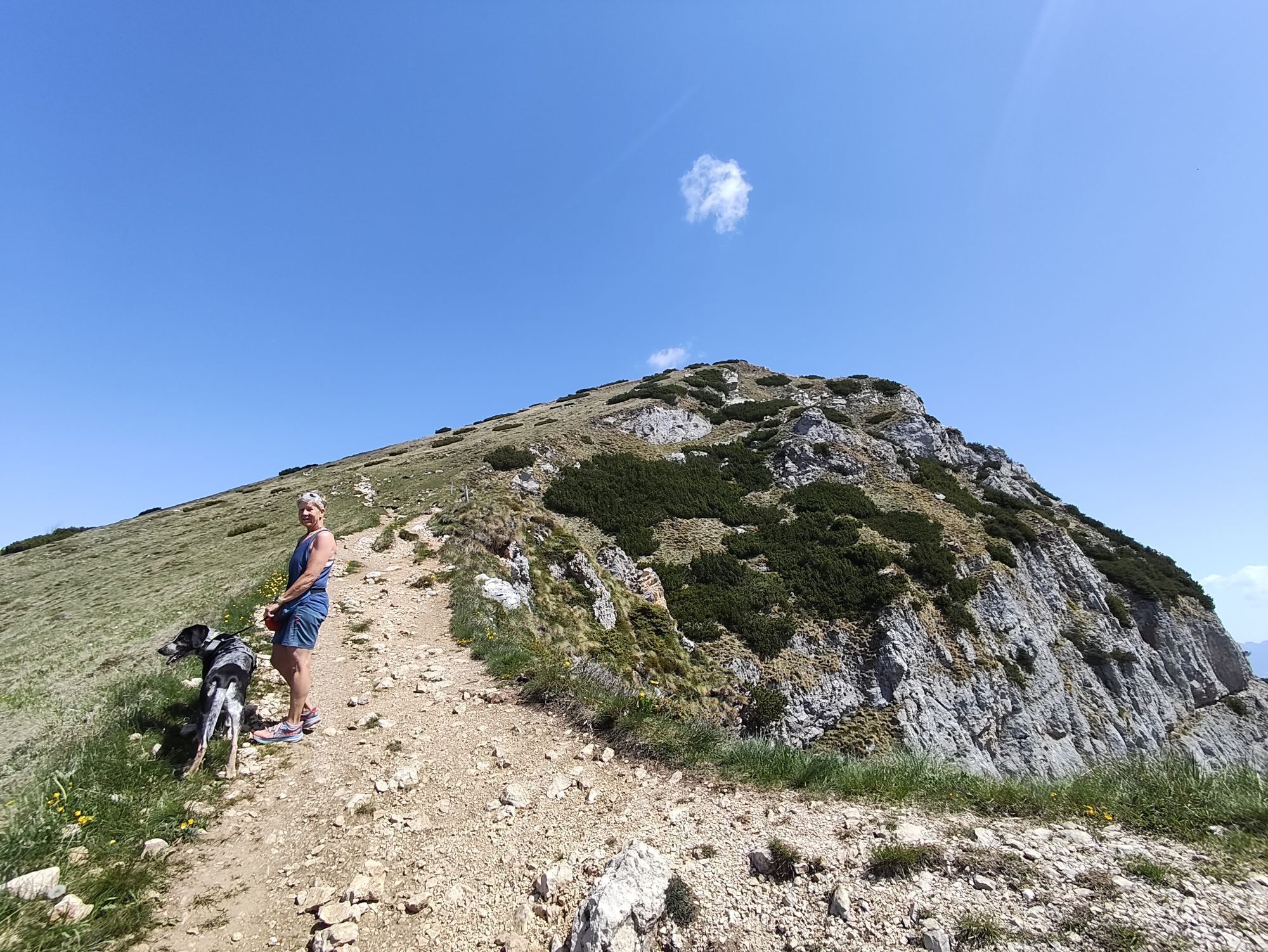
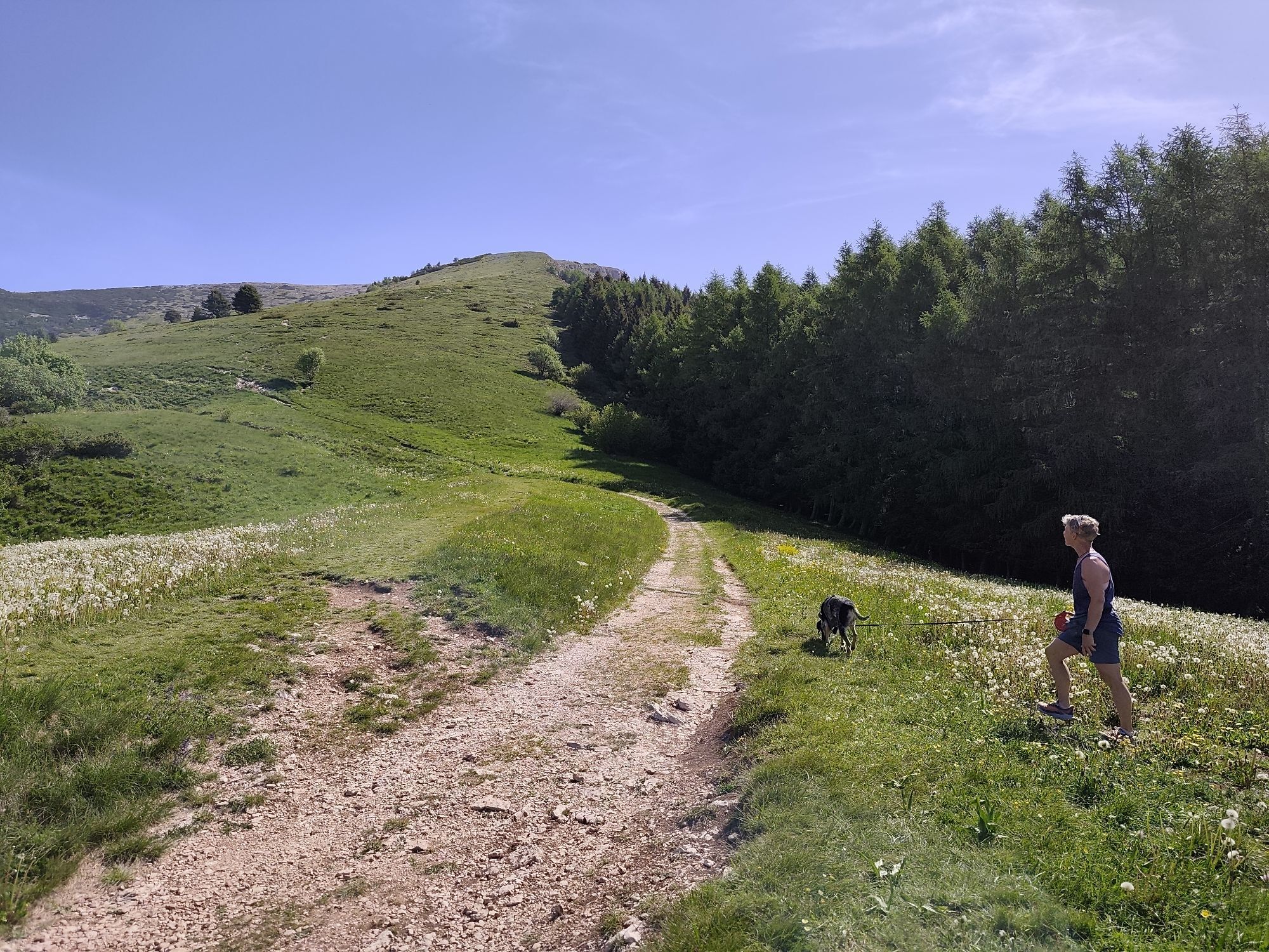
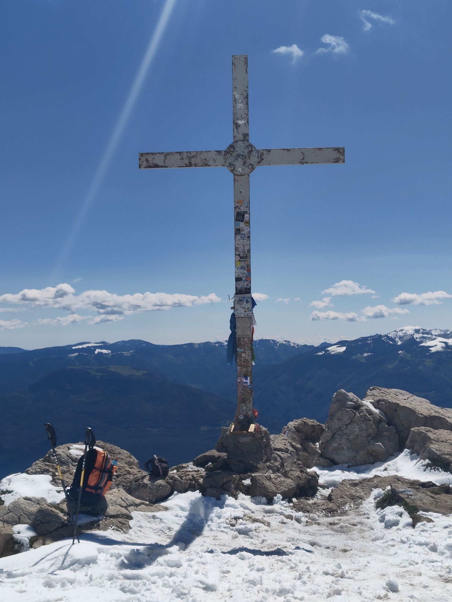
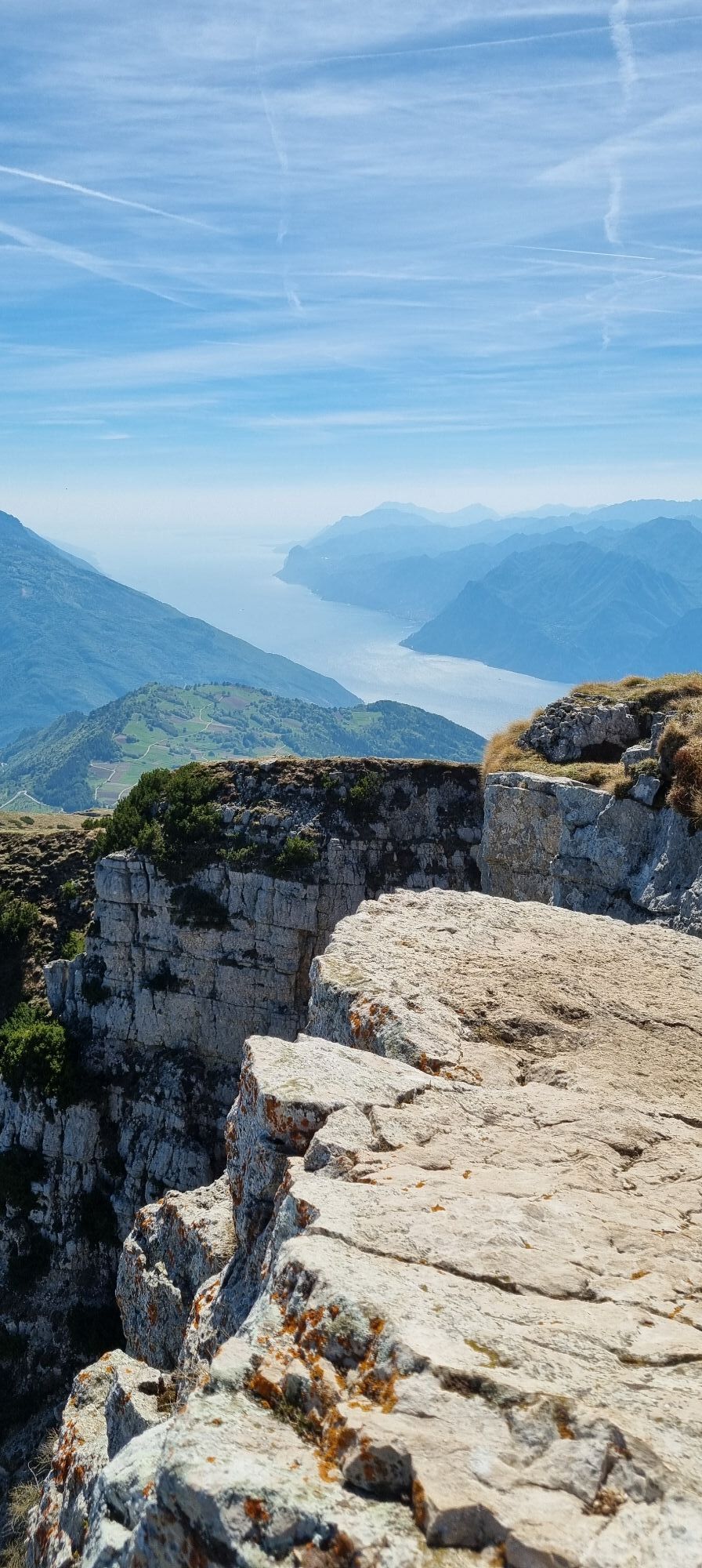
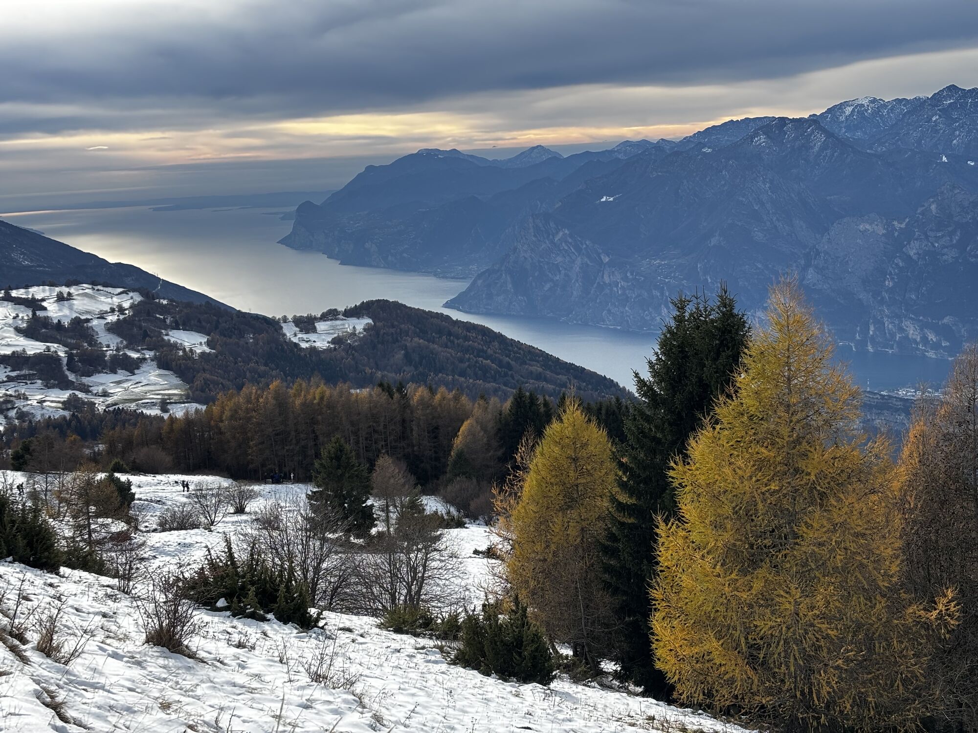
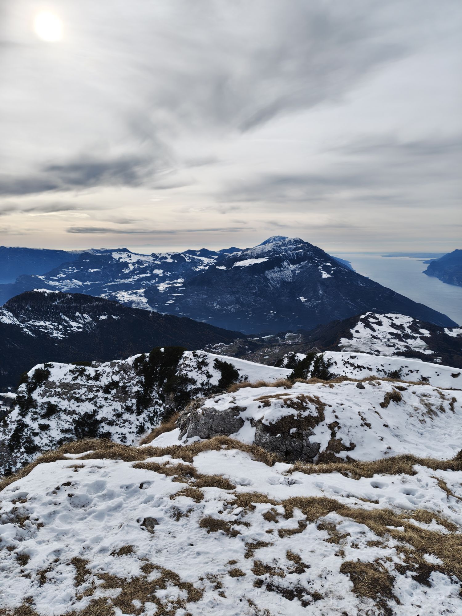
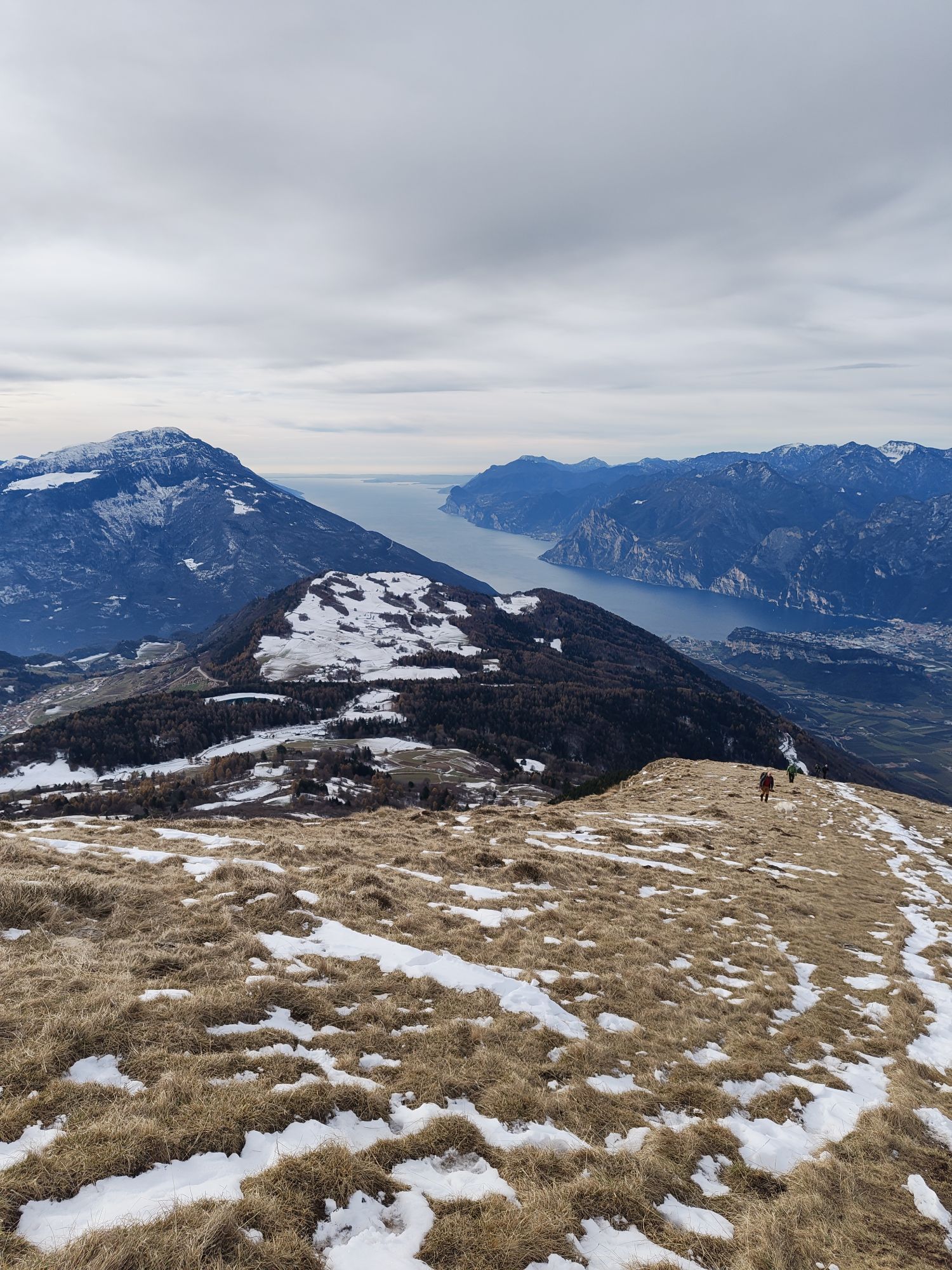
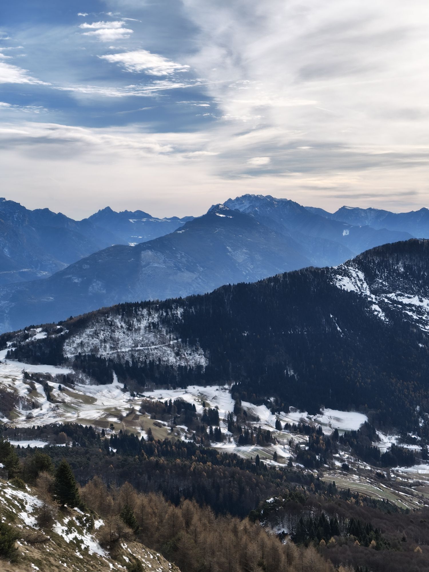
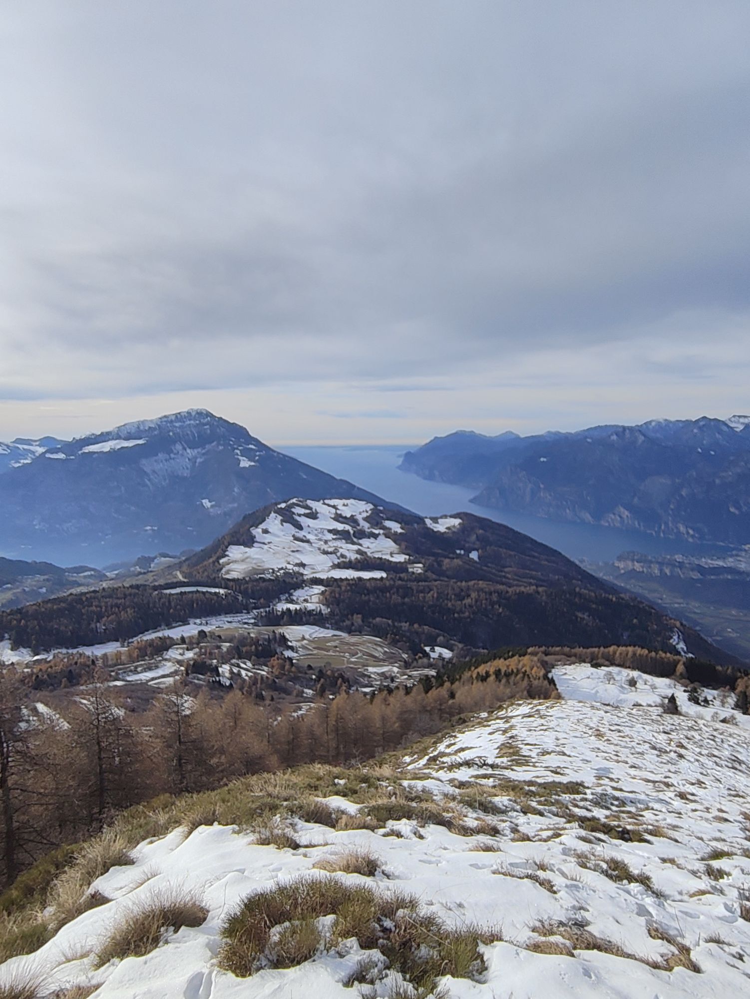
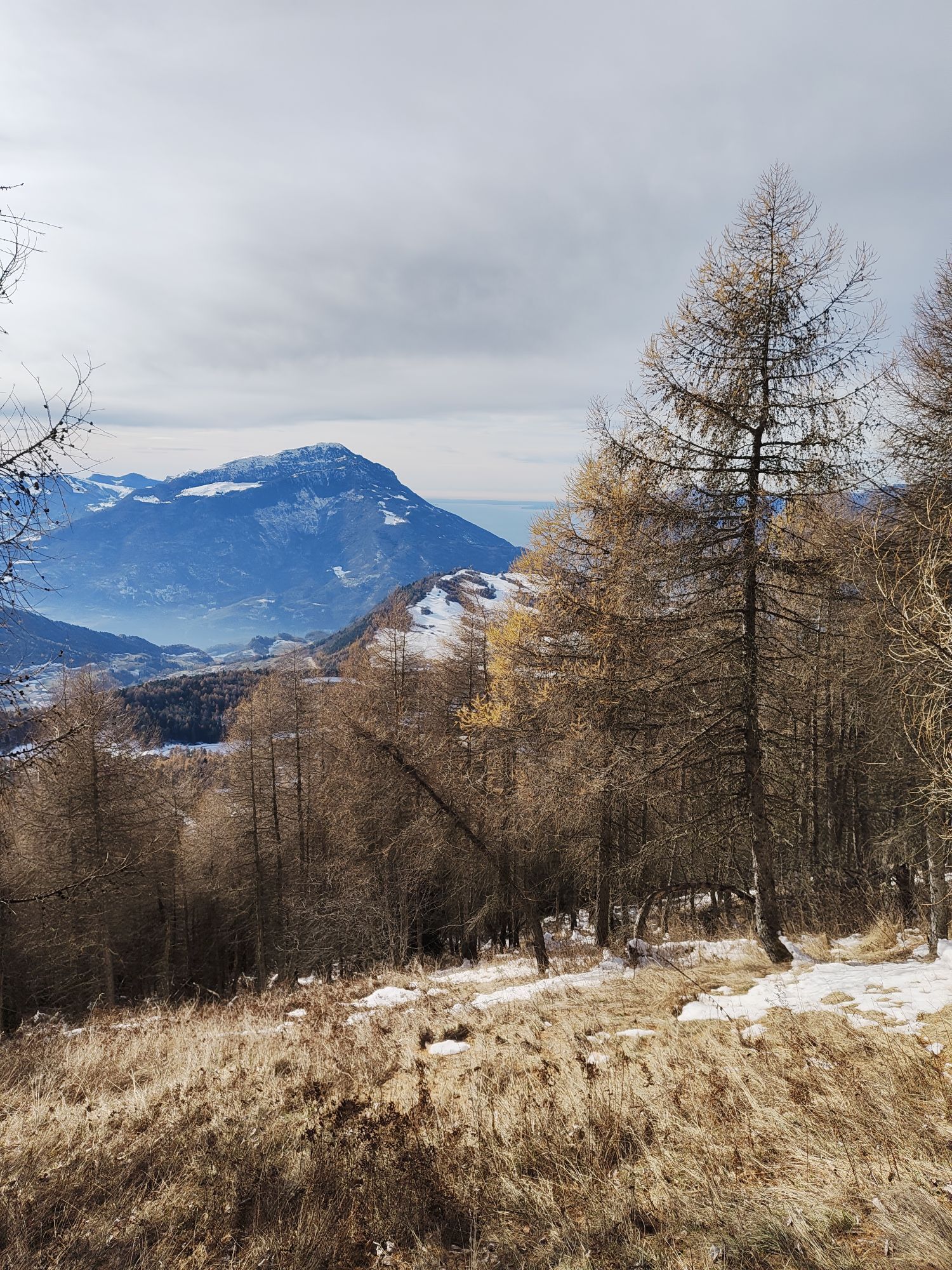
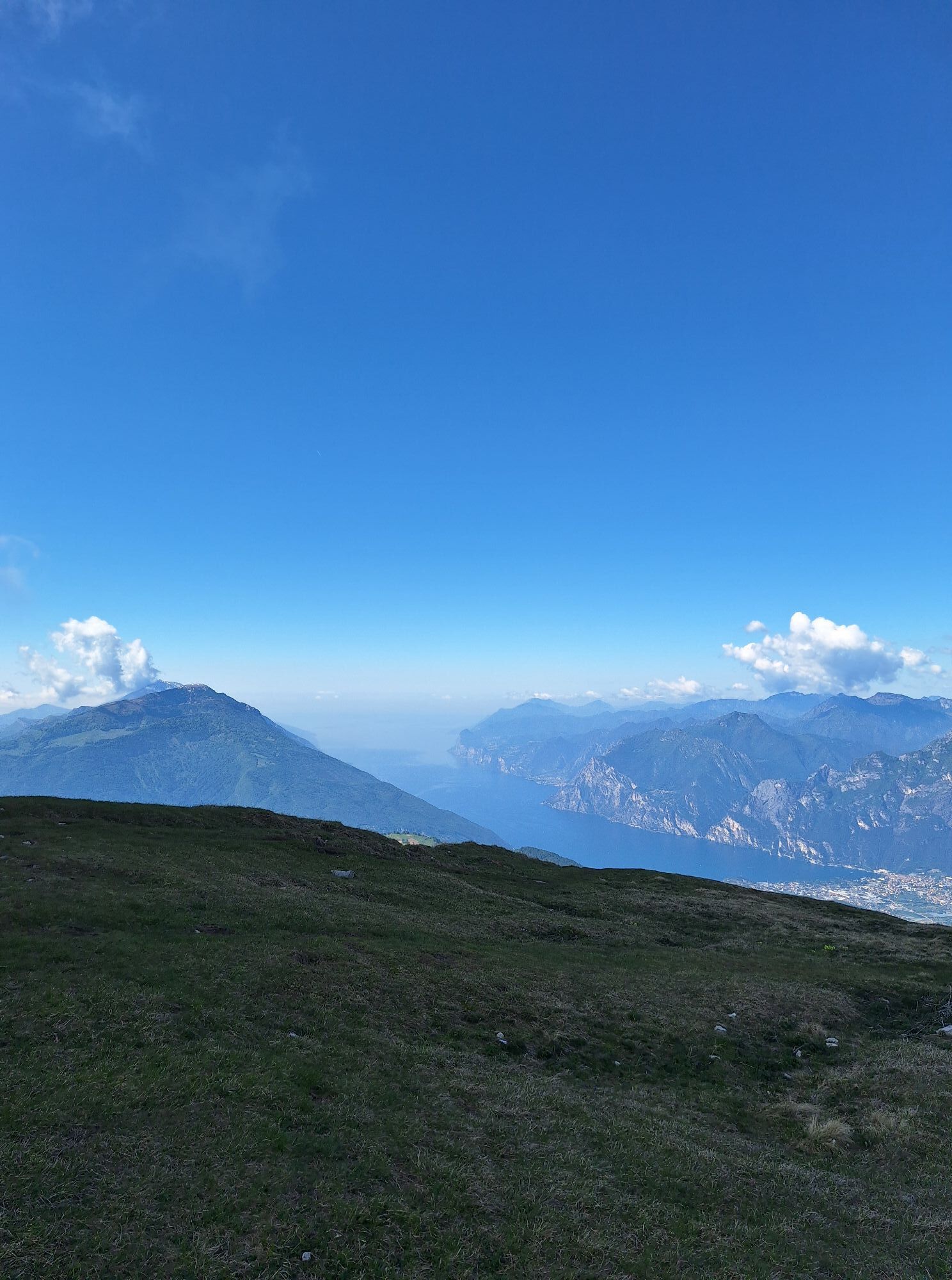
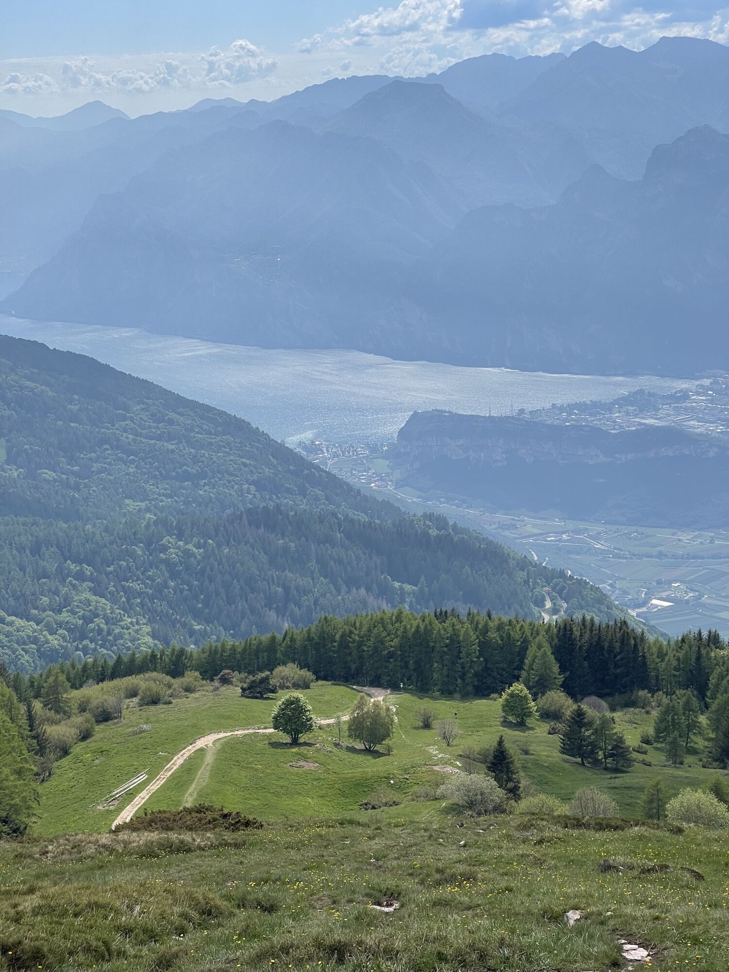
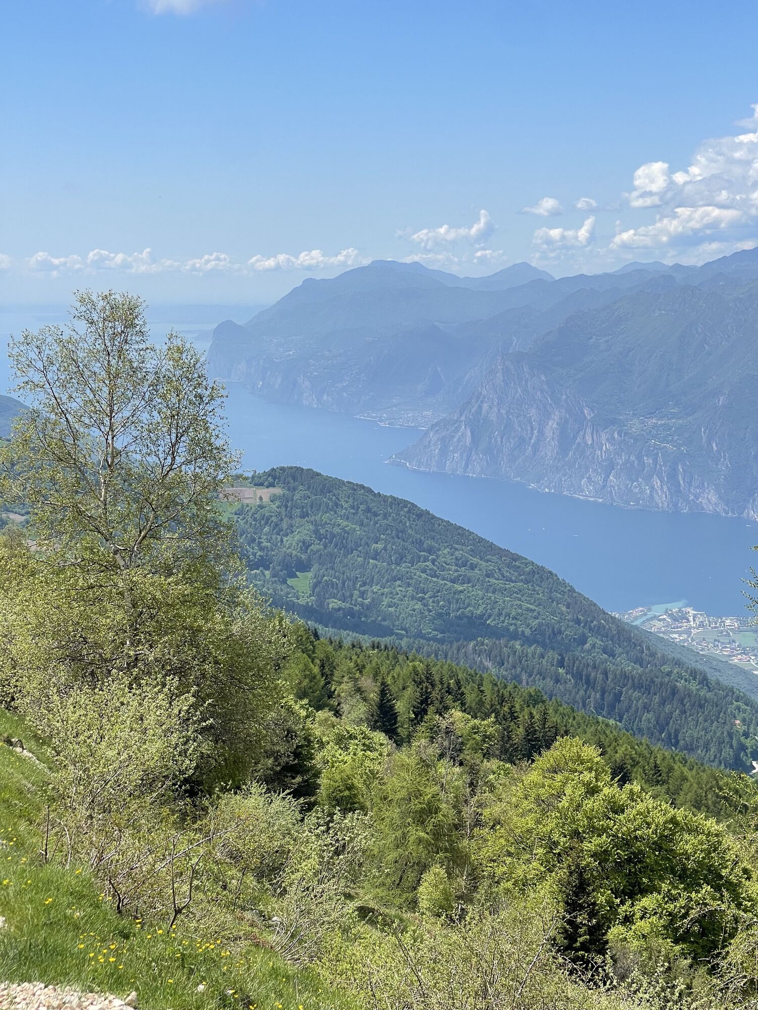
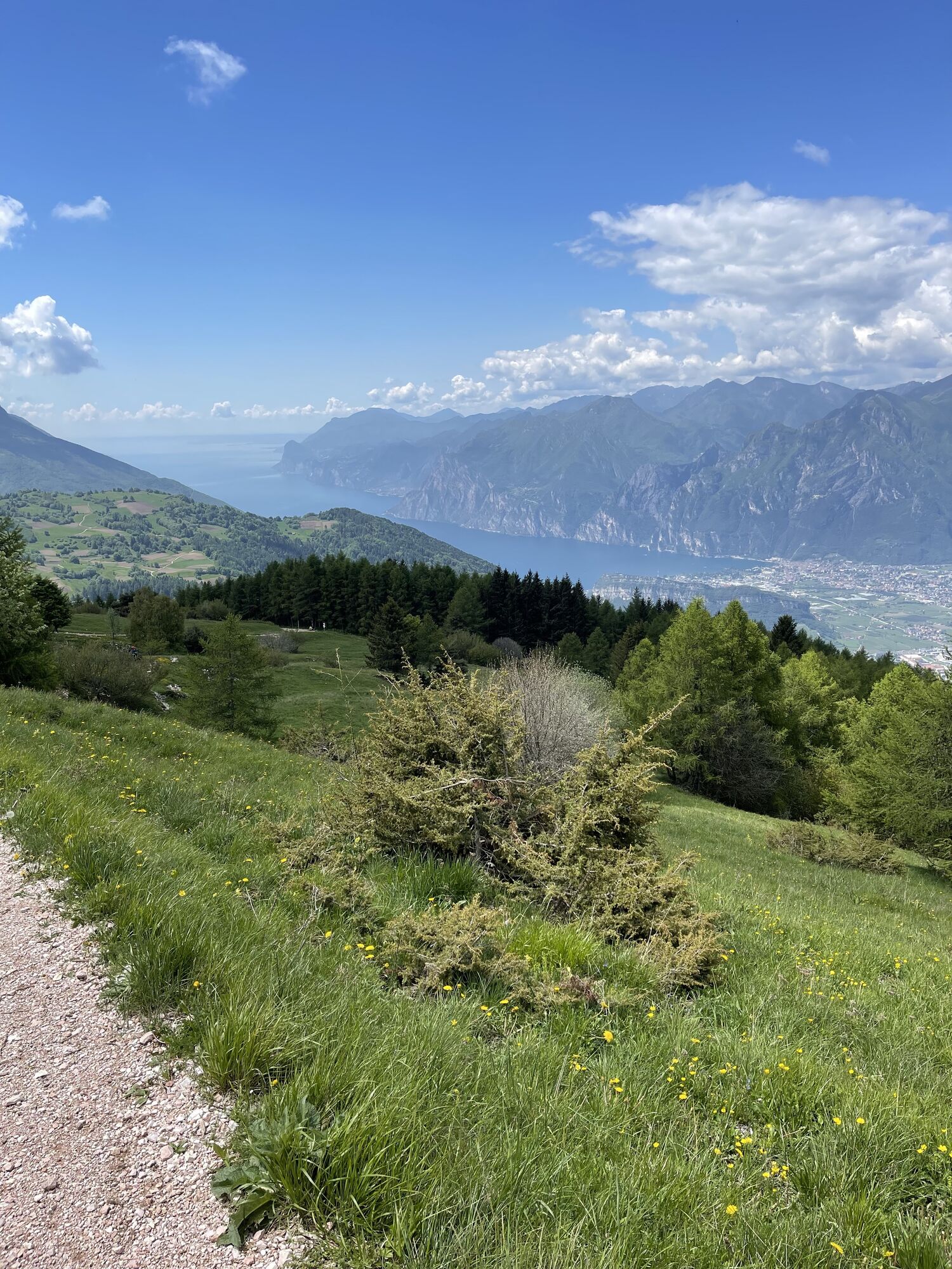
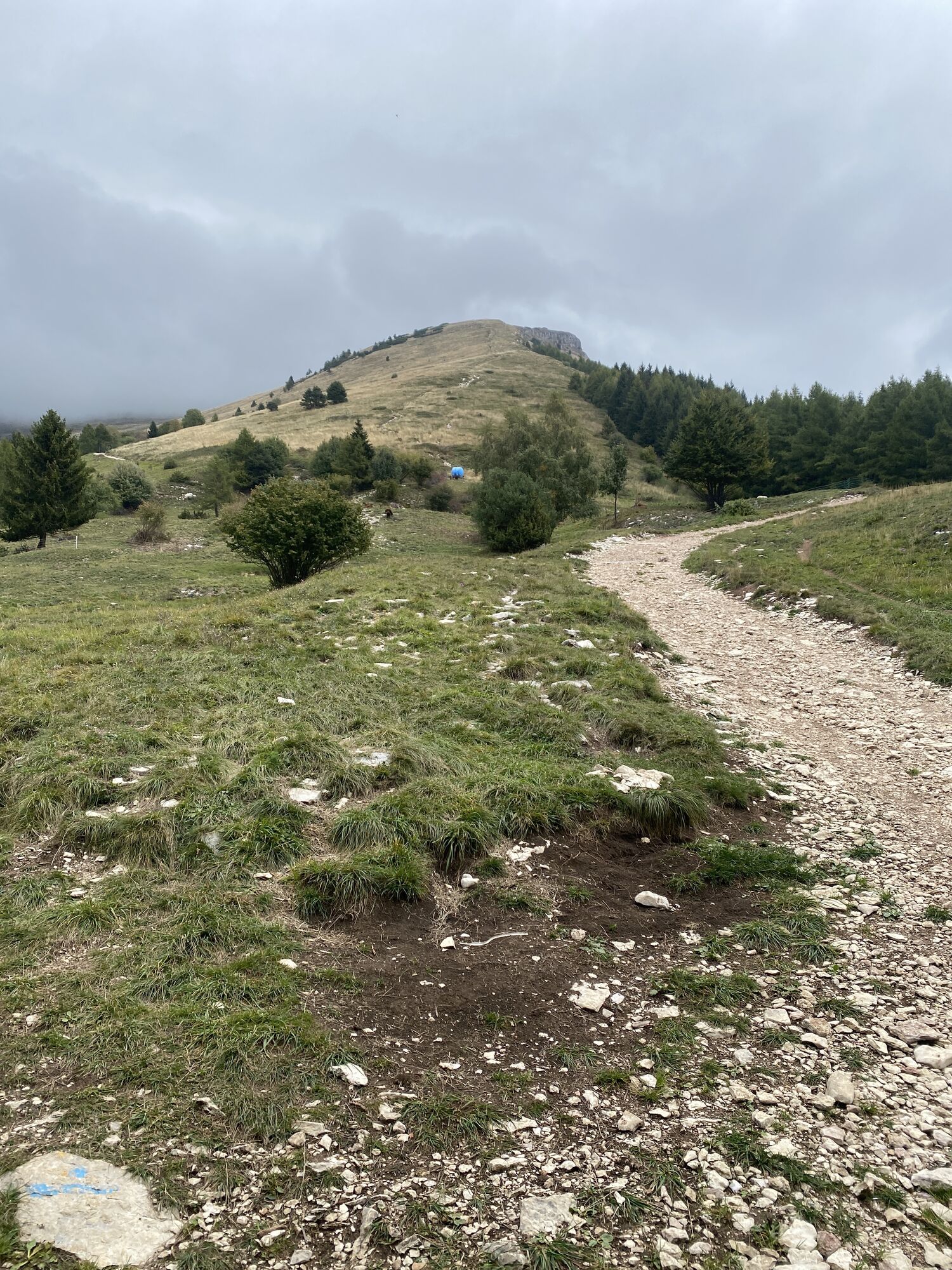
Indeed, this route offers some unique characteristics: bear in mind that the south-west slopes of Monte Stivo are something of a natural terrace overlooking Lake Garda and, from this vantage point, this...
Indeed, this route offers some unique characteristics: bear in mind that the south-west slopes of Monte Stivo are something of a natural terrace overlooking Lake Garda and, from this vantage point, this body of water truly calls to mind the Scandinavian coastline.
It’s not a difficult climb and the panorama is definitely worth the effort. However, although it’s a very popular tourist destination it must not be underestimated, in the case of fog or low cloud cover orientation can become difficult.

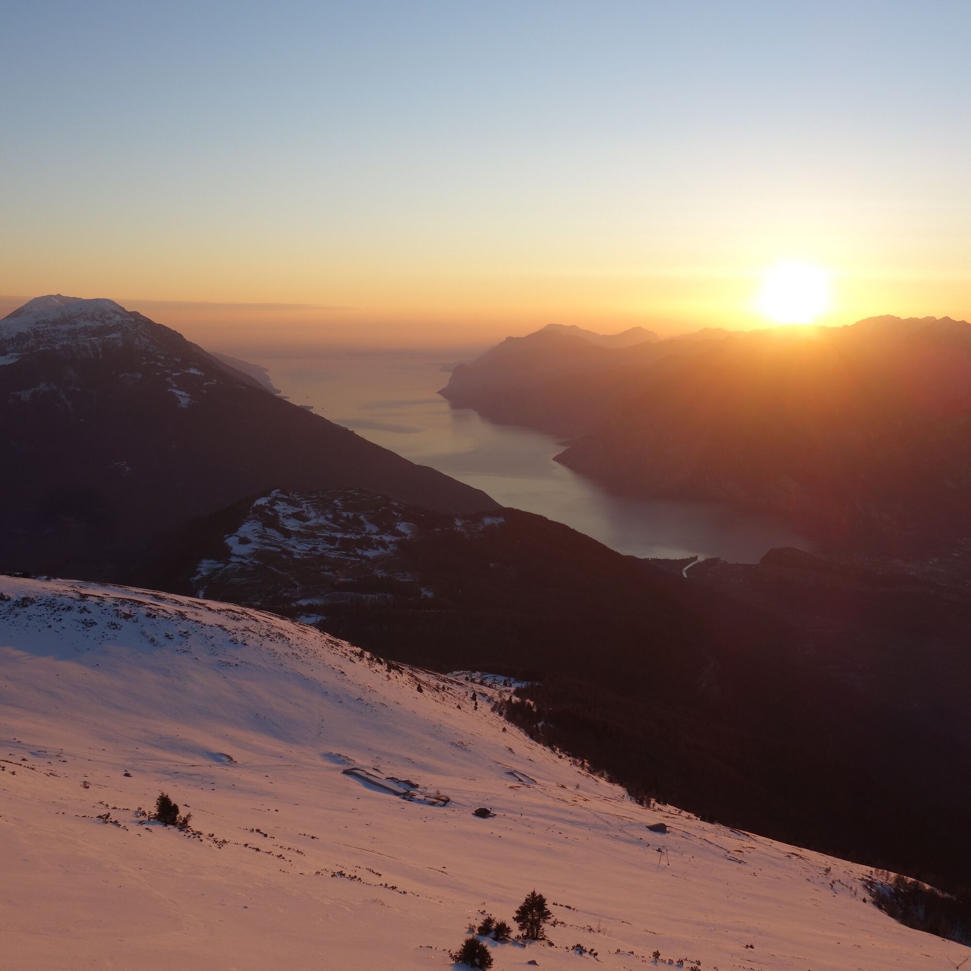
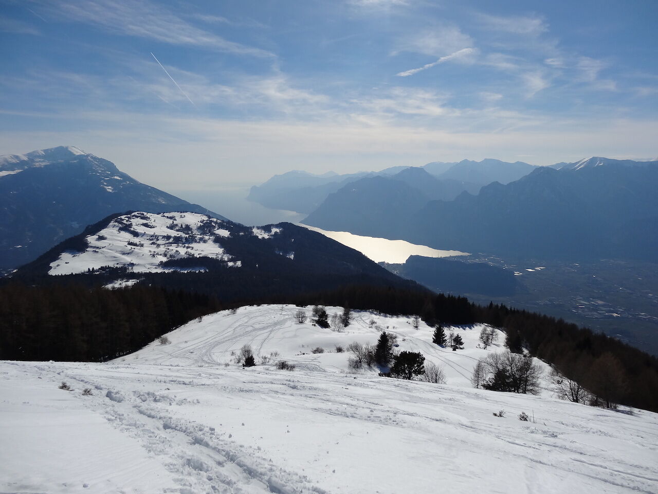
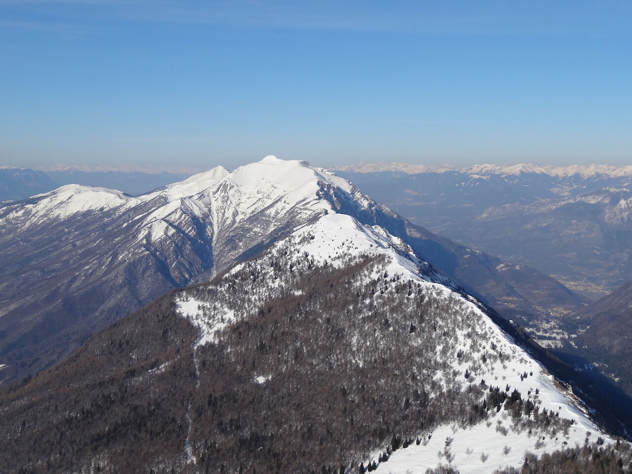
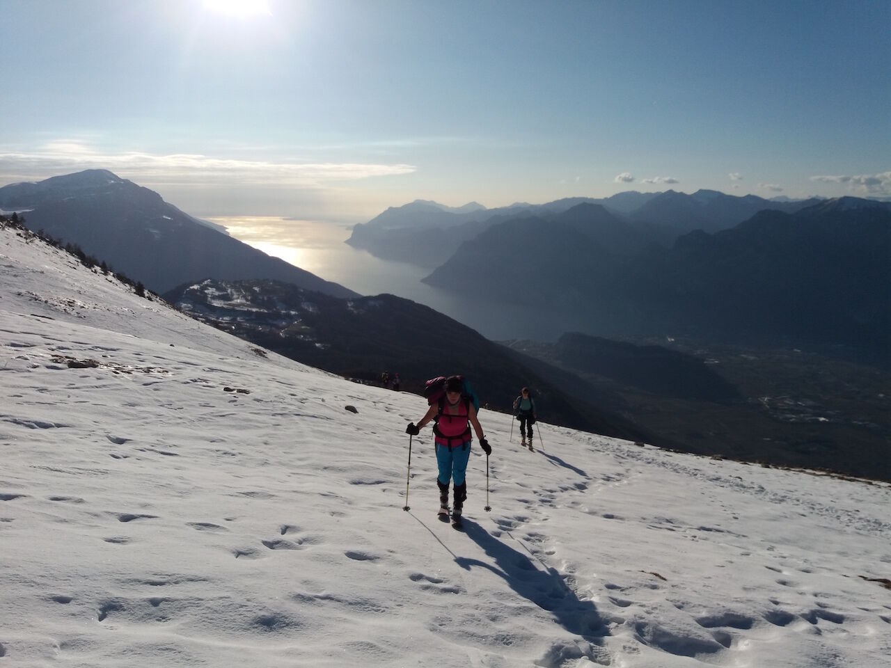
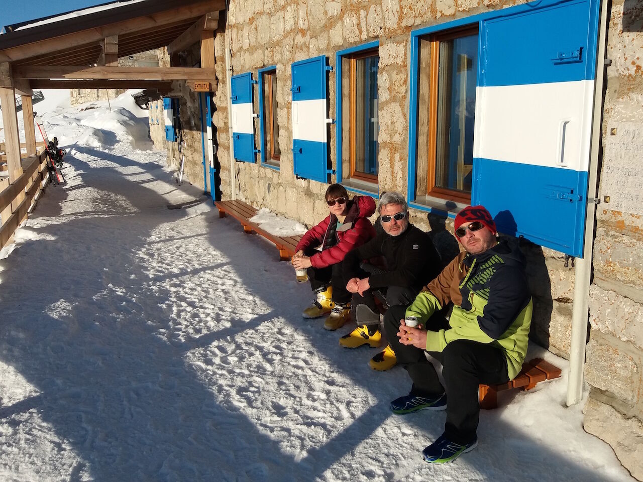
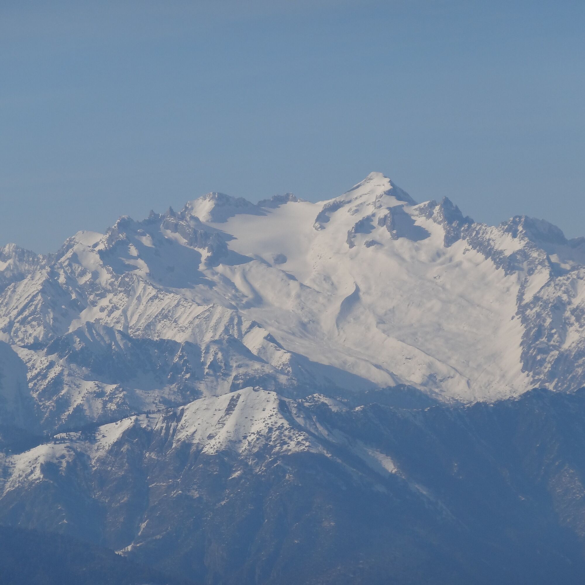

Park your car in the Sant’Antonio locality next to the horse stables and just above the Santa Barbara Pass. From here follow trail no. SAT 608B which takes you first along a paved road and then onto a dirt track. You leave the woods behind as you reach the mountain saddle at an elevation of 1,480 m a.s.l. and from here you can either continue towards the Malga Stivo farmstead or climb the steep ridge to your right (recommended in the case of avalanche alerts). Both alternative routes meet up again however along the crest at an altitude of about 1,900 metres and from there the trail continues as far as the mountain hut (which is indicated with wooden poles).
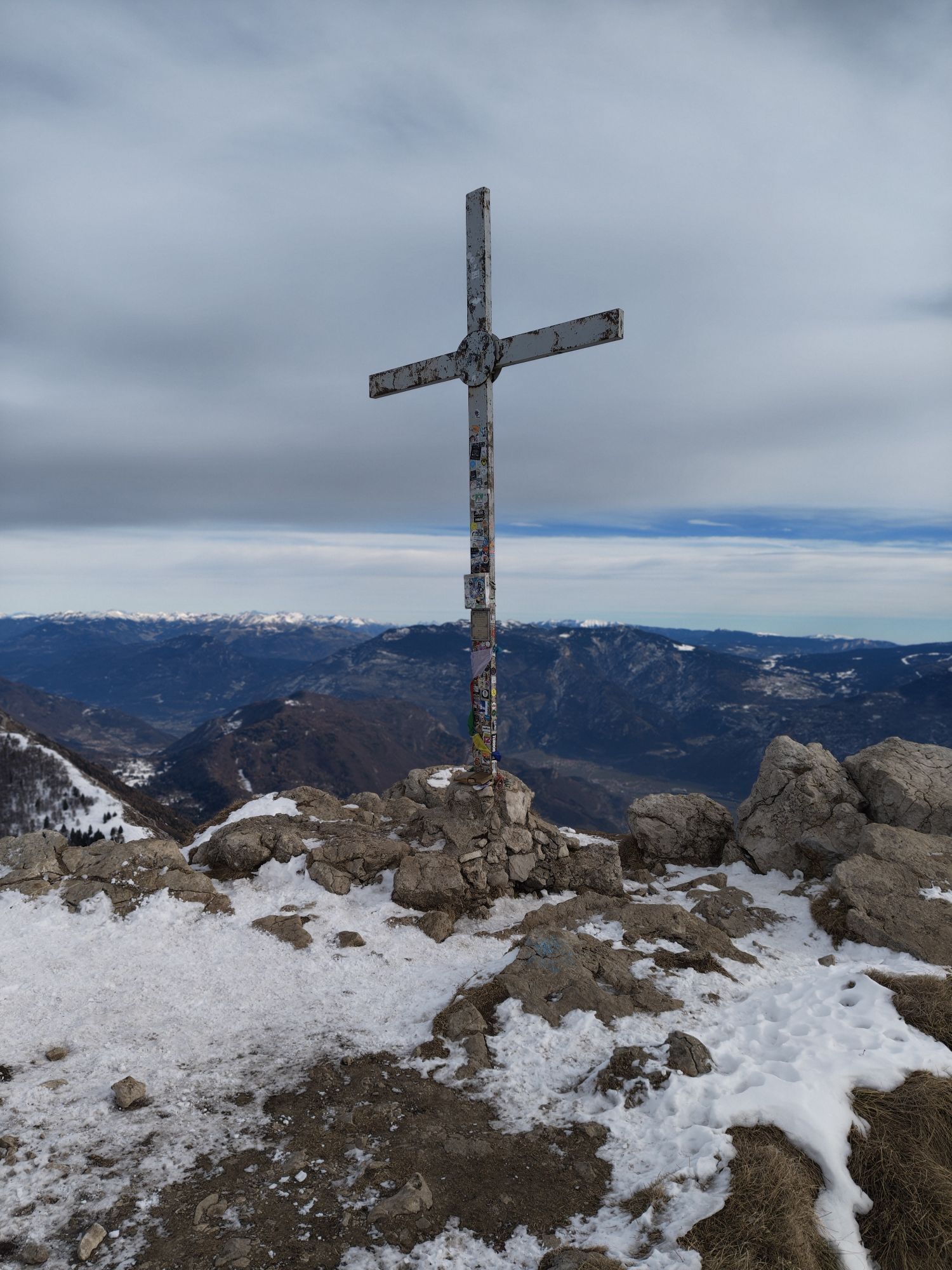
The summit of the mountain is just 50 metre climb above the building.
Da
For all snowshoe treks, suitable apparel is strongly recommended. Temperatures can dip quickly and so garments should be warm and also be suitable for snowy conditions (such as waterproof Gore-Tex jackets). Furthermore, every group member should pack gloves, a cap, sun glasses and sun cream.
It’s also important to bear in mind that tight-fitting or insufficiently waterproof footwear can lead to frostbite.
We also strongly recommend that all members of the group pack an avalanche rescue kit consisting of avalanche transceiver, probe and shovel (this is also available for rent).
Ski poles can also come in quite useful and are therefore recommended.
In the case of icy snow, it is recommended adding a pair of crampons to your gear.
Remember, snowpack stability is subject to sudden and unforeseeable changes and shifts. Always check the local avalanche bulletin (www.meteotrentino.it or any other service that suits your needs) before departure and make sure you gather all possible information concerning current conditions from the local Mountain Guides).
GPS tracks are merely indicative of the more standard routes but must not be followed blindly without first checking current slope and terrain conditions.
Beware of icy stretches which can be quite frequent along this itinerary.
Please note that the practicability of the itineraries in a mountain environment is strictly linked to the contingent conditions and is therefore influenced by natural phenomena, environmental changes and weather conditions. For this reason, the information contained in this page may have changed. Before leaving for a tour, make sure the path you will approach is still accessible by contacting the owner of the mountain hut, the alpine guides or the visitor centres of the nature parks, the info offices of the local tourist board.
You can reach Santa Barbara pass from the national road no. SS88 of the Val di Gresta or from road no. SS48 of Monte Velo (the latter is not recommended as it’s quite narrow and sometimes closed due to snow). From the pass, continue for about 500 metres as far as the Sant’Antonio locality.
No public transport is available
Once you pass the horse stables, you’ll find a large car park just before you reach the “no entry” sign along the road.
For more information on routes and hike services: guides, shops and hiking friendly accommodation: APT Garda Trentino, Tel. +39 0464 554444 www.gardatrentino.it
The Marchetti mountain hut has recently been renovated and it will remain open on weekends even in winter.


Priljubljeni izleti v okolici
-
5.0
Bastione and Santa Barbara, the lords of Riva del Garda
srednjaPohodništvo 2.94 km -
5.0
Via Ferrata Signora delle Acque - Rio Ruzza
težkoVia ferrata 5.32 km -
4.8
Sentiero Busatte Tempesta
svetlobaPohodništvo 7.90 km -
4.8
Via Ferrata Fausto Susatti - Cima Capi (from Ledro)
srednjaVia ferrata 7.11 km -
4.7
Via Ferrata Rio Sallagoni
srednjaVia ferrata 2.75 km -
4.6
Via Ferrata delle Laste e Gallerie di Cima Rocca
svetlobaVia ferrata 6.38 km -
4.9
Via Ferrata dell’Amicizia - Cima SAT
srednjaVia ferrata 4.41 km -
4.8
Ponale Path (from Ledro)
srednjaPohodništvo 10.8 km -
4.6
Colodri Klettersteig (A/B)
Via ferrata 7.50 km -
4.4
Ferrata via dell'amicizia
srednjaVia ferrata 11.5 km

Pohodništvo in sledenje


Ne zamudite ponudb in navdiha za naslednje počitnice
Vaš e-poštni naslov je bil dodan na poštni seznam.





