






Monte BaldoTour

Stopnja težavnosti: 6
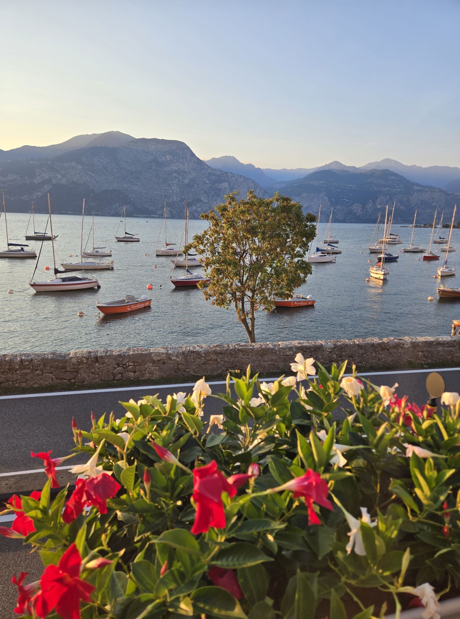
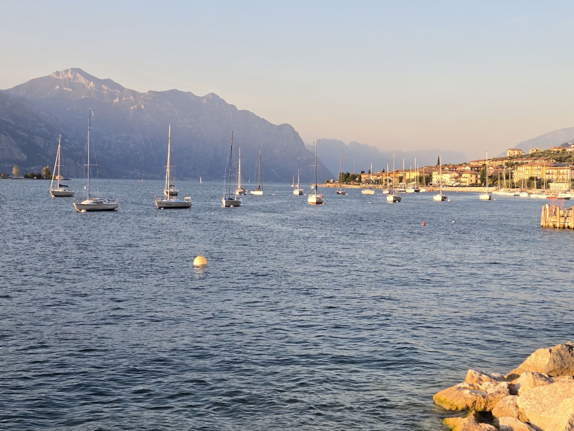
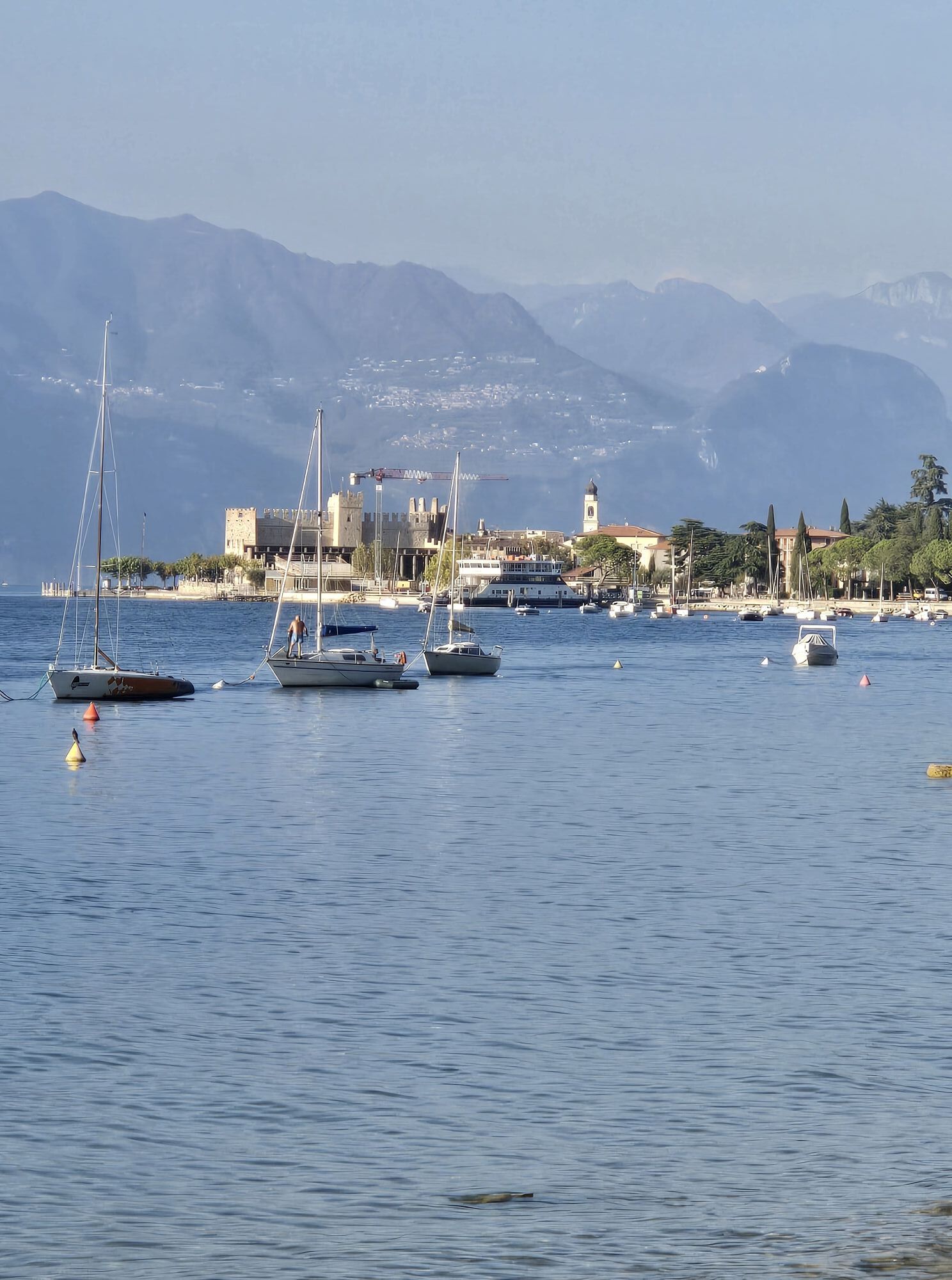
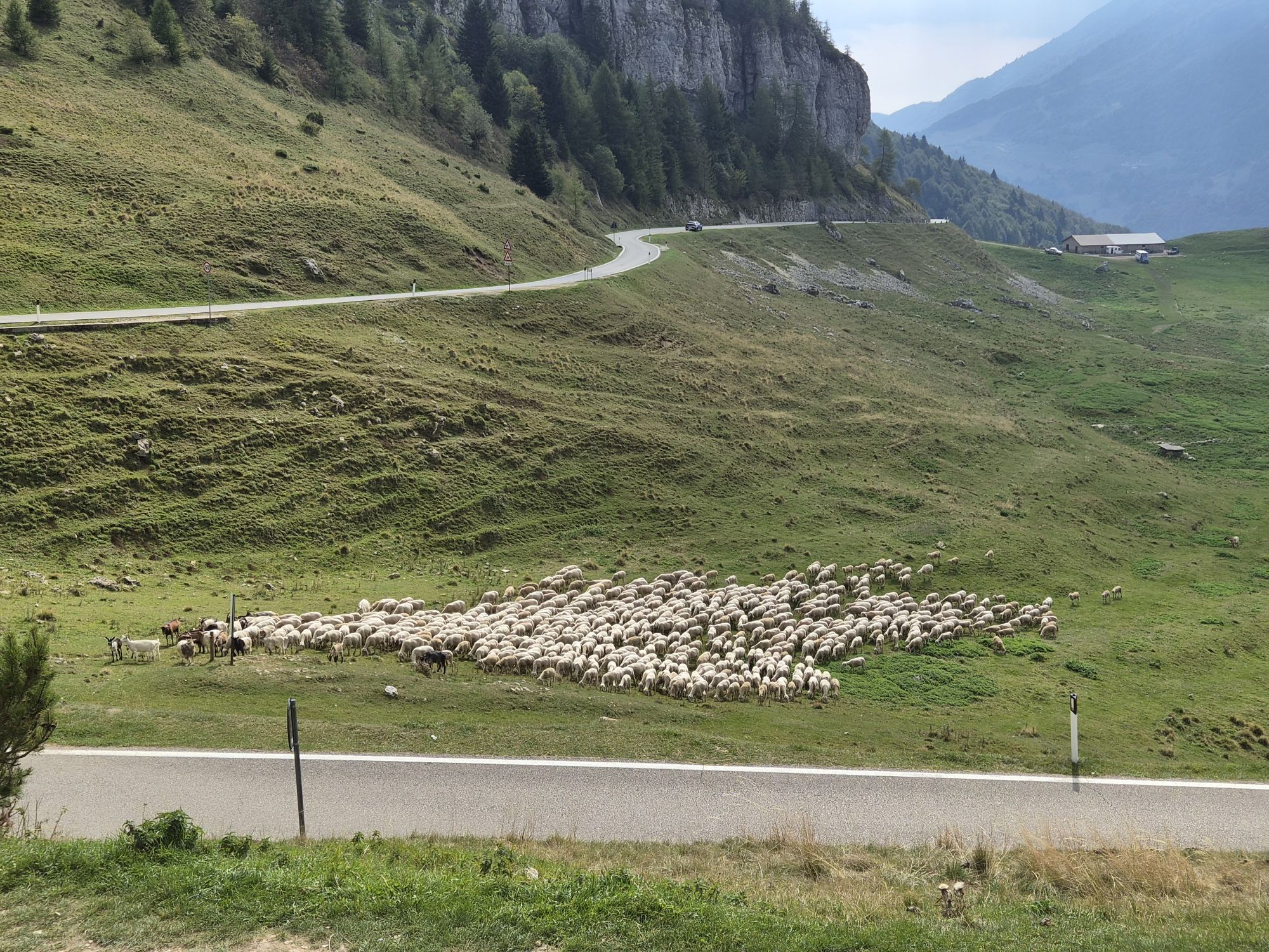
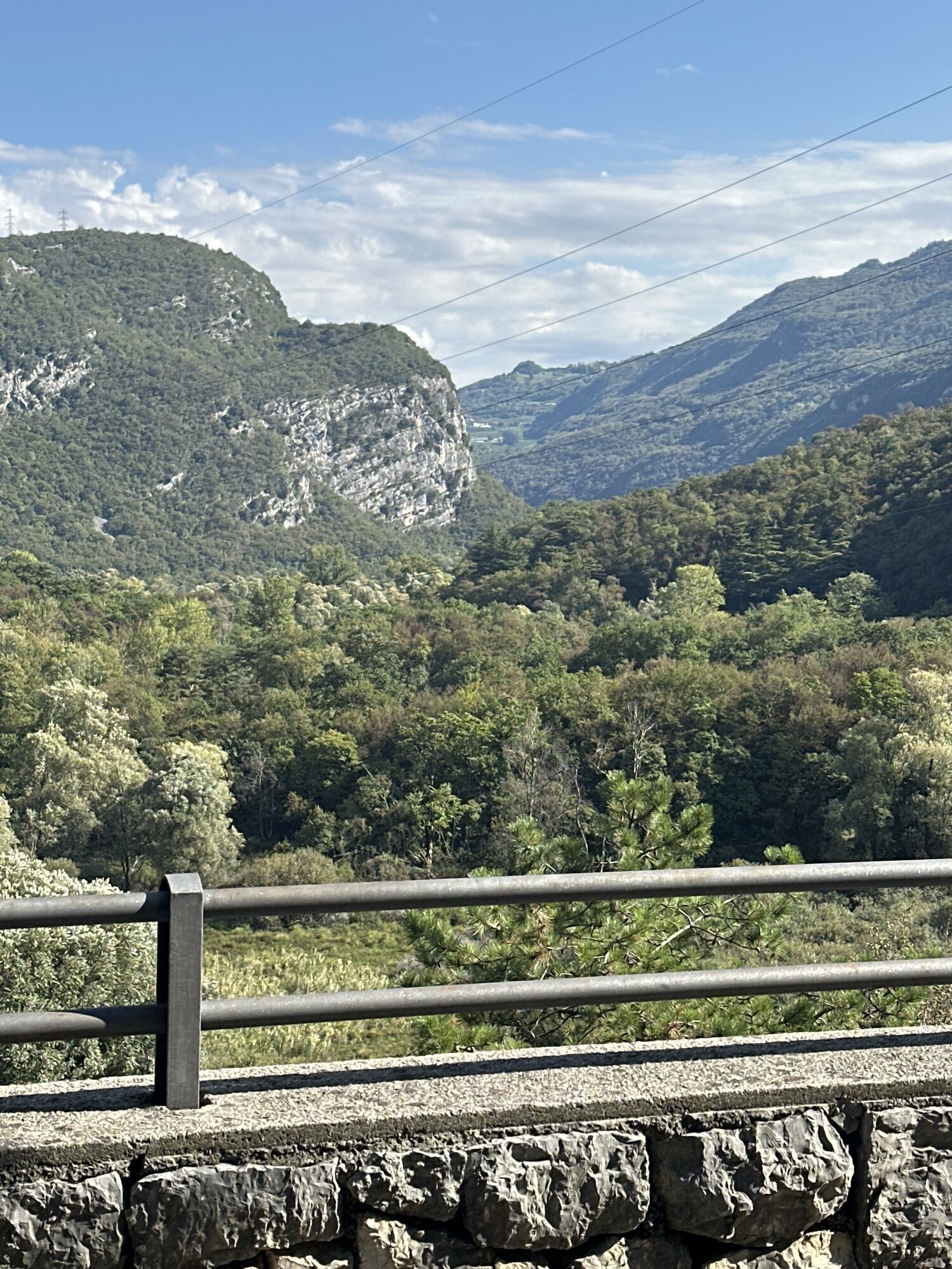
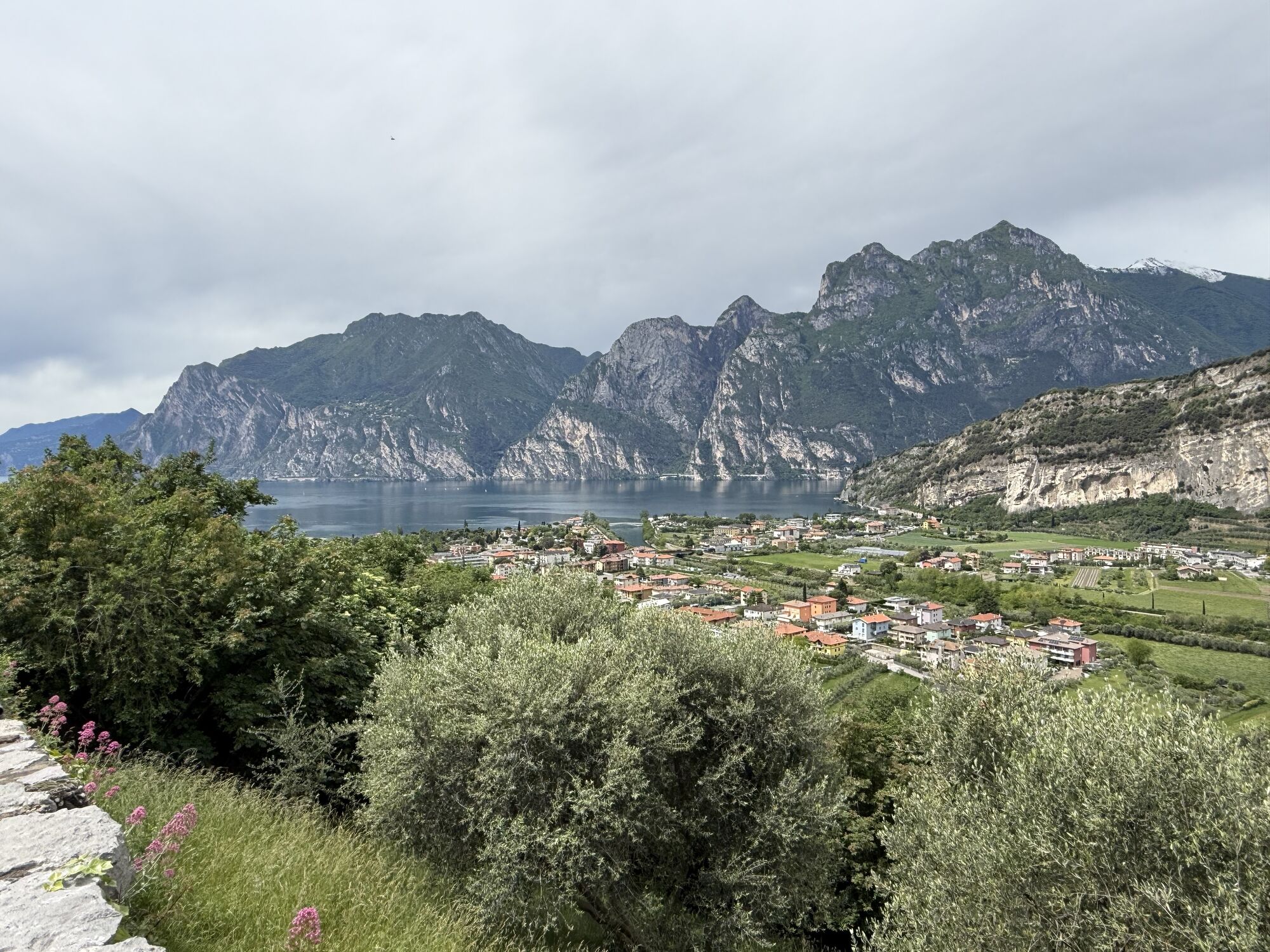
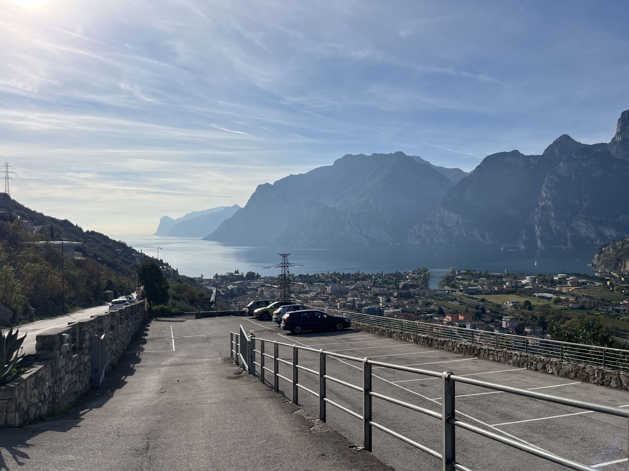
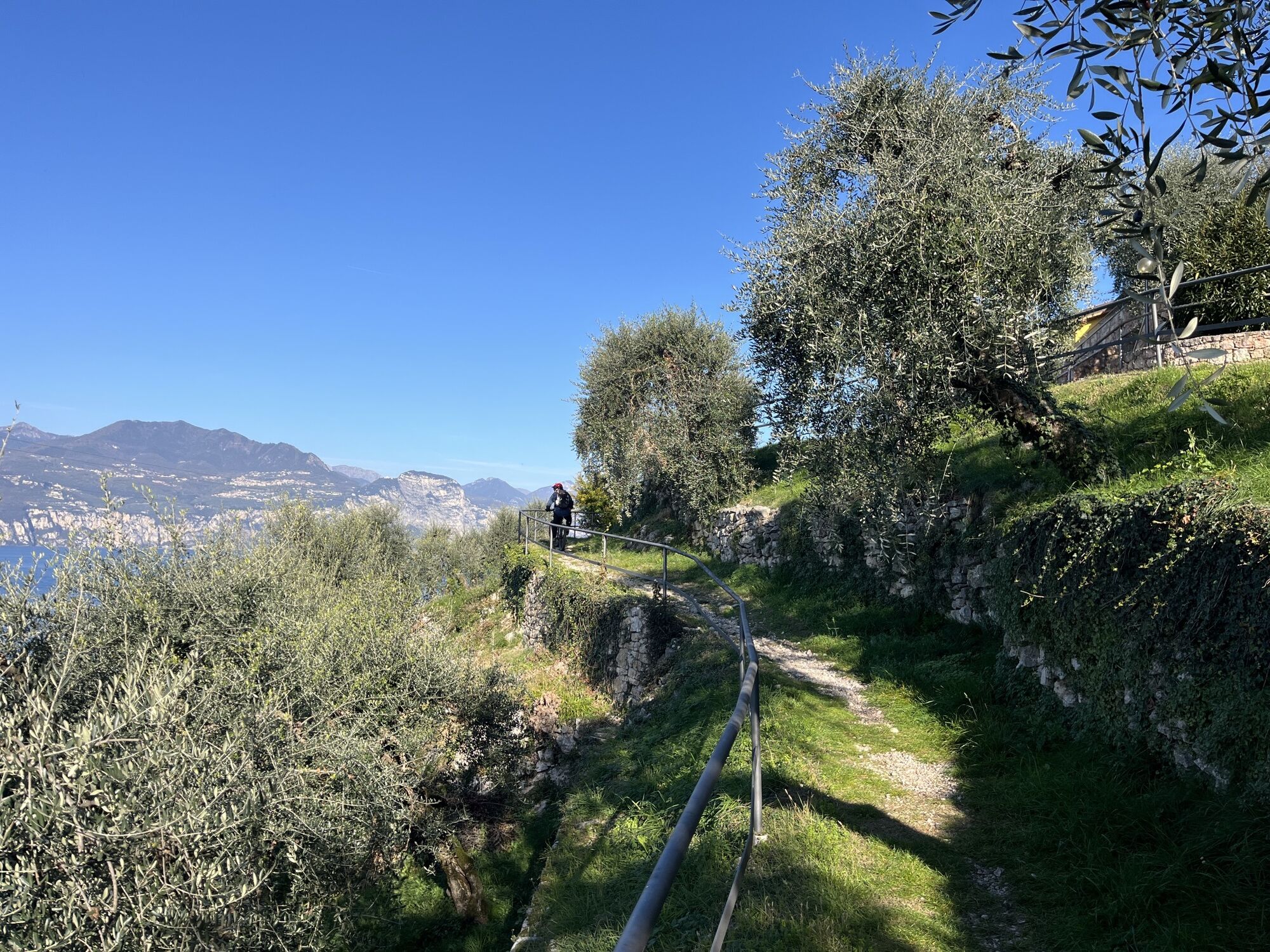
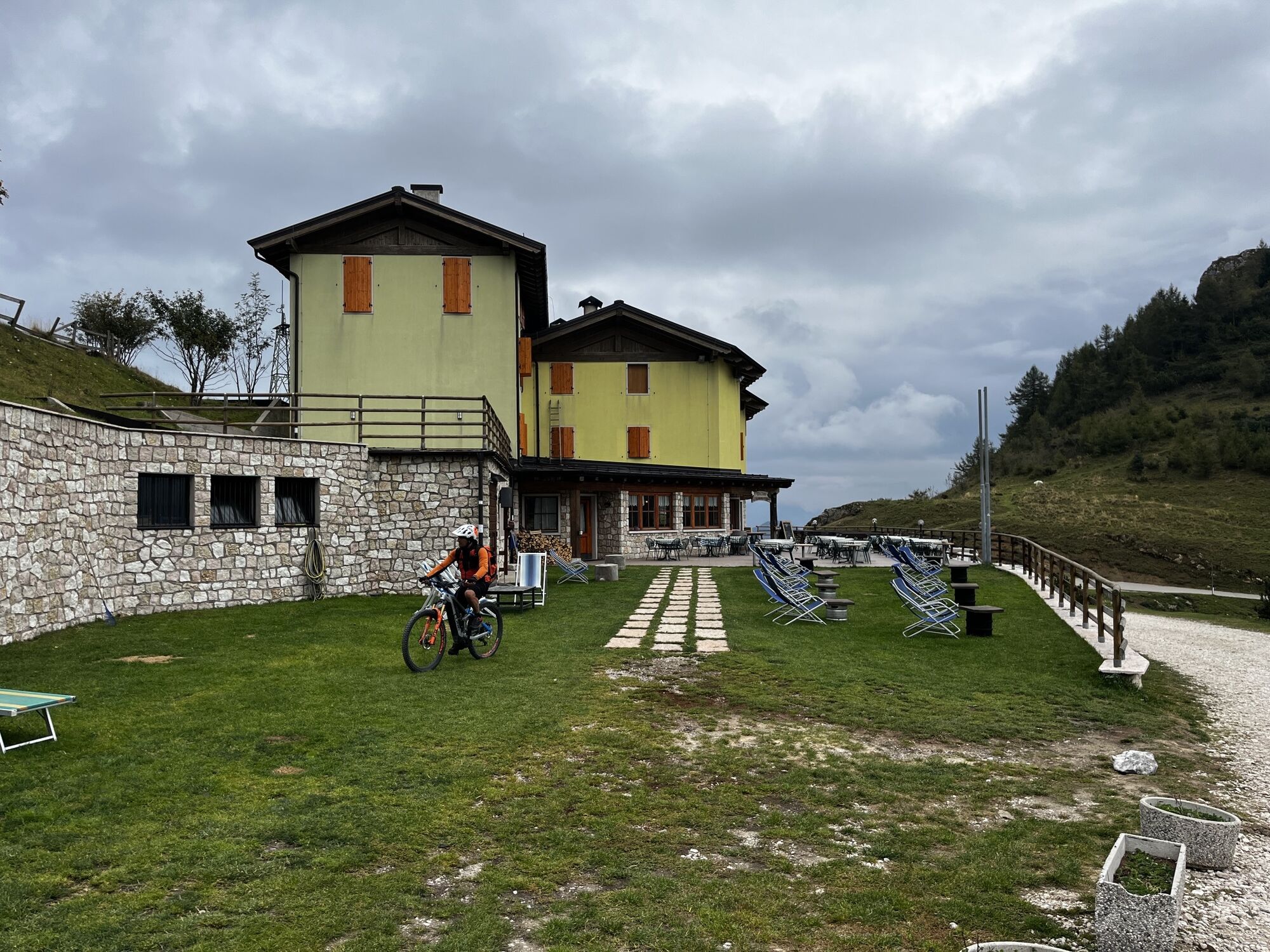
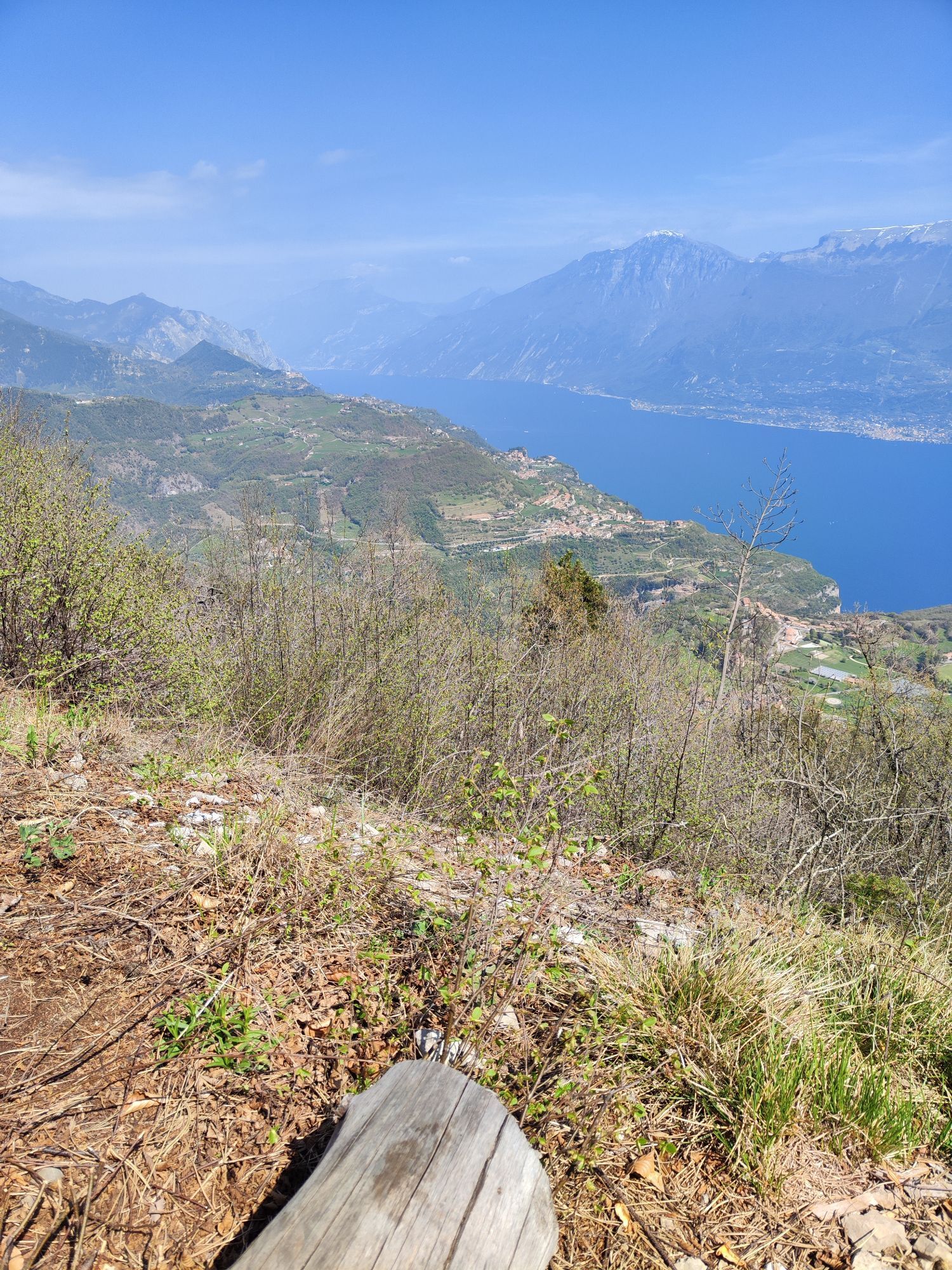
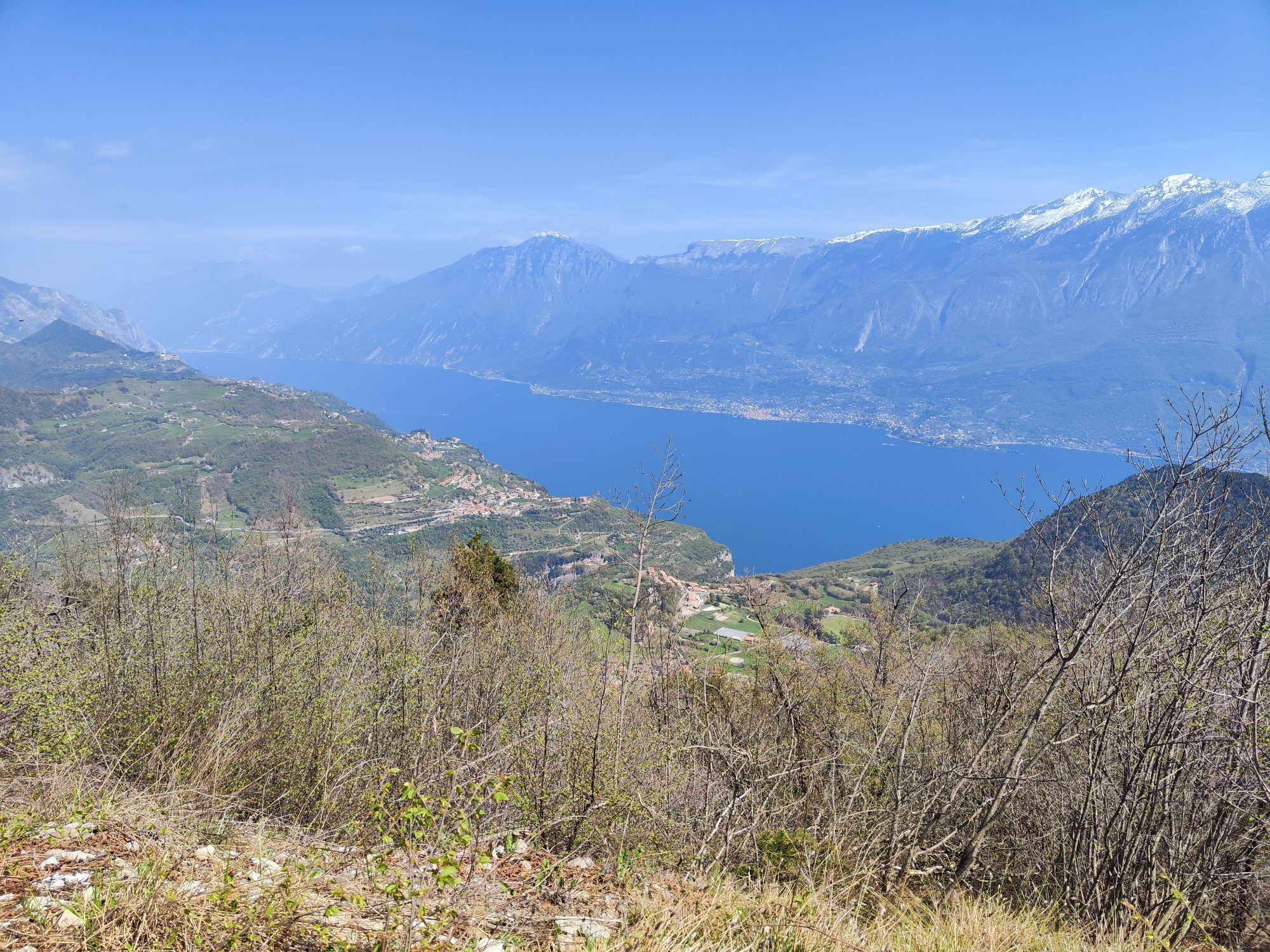
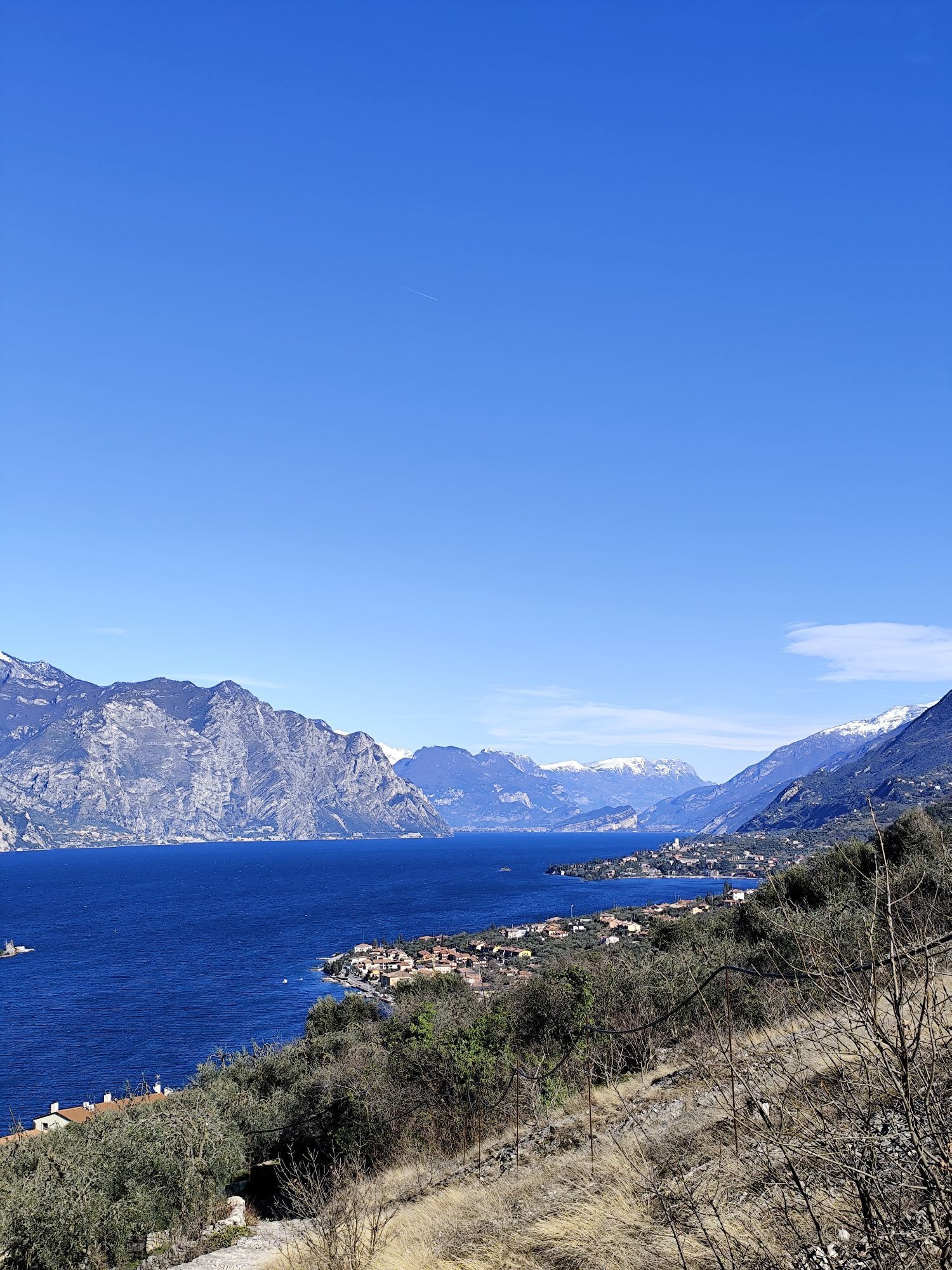
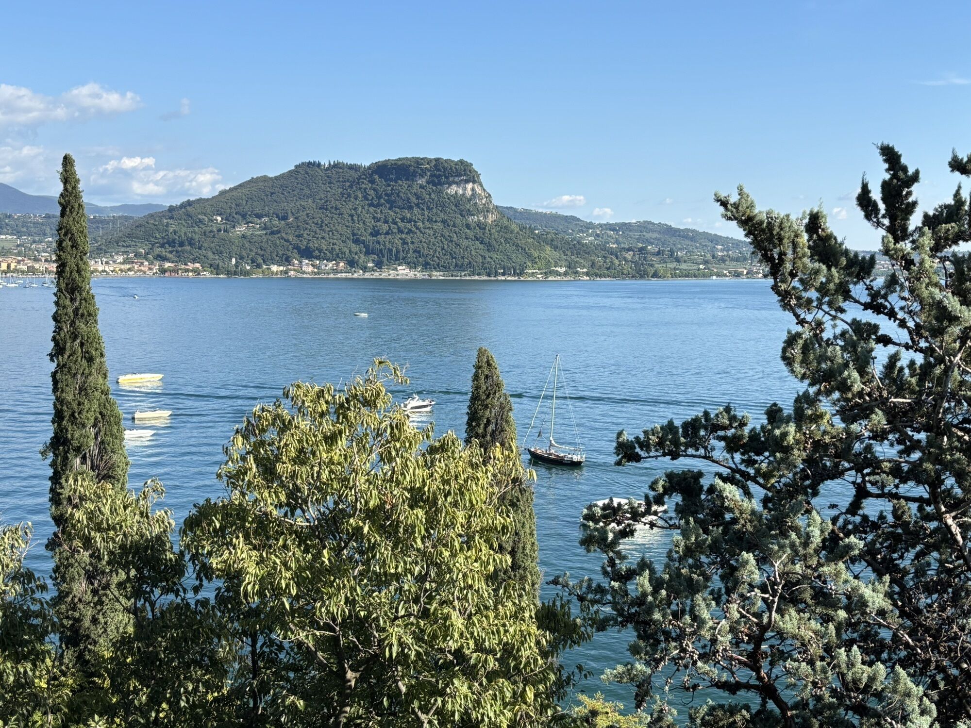
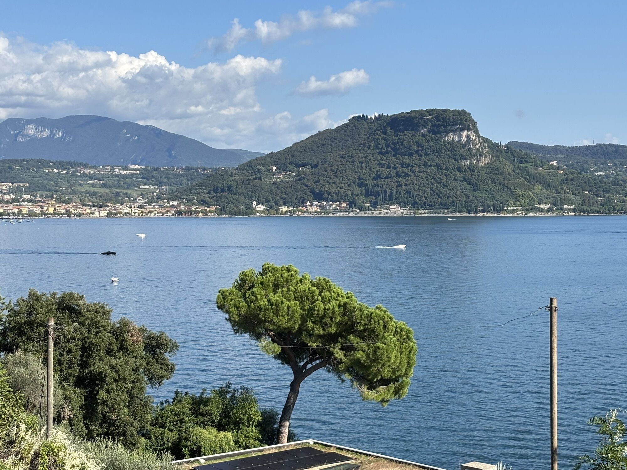
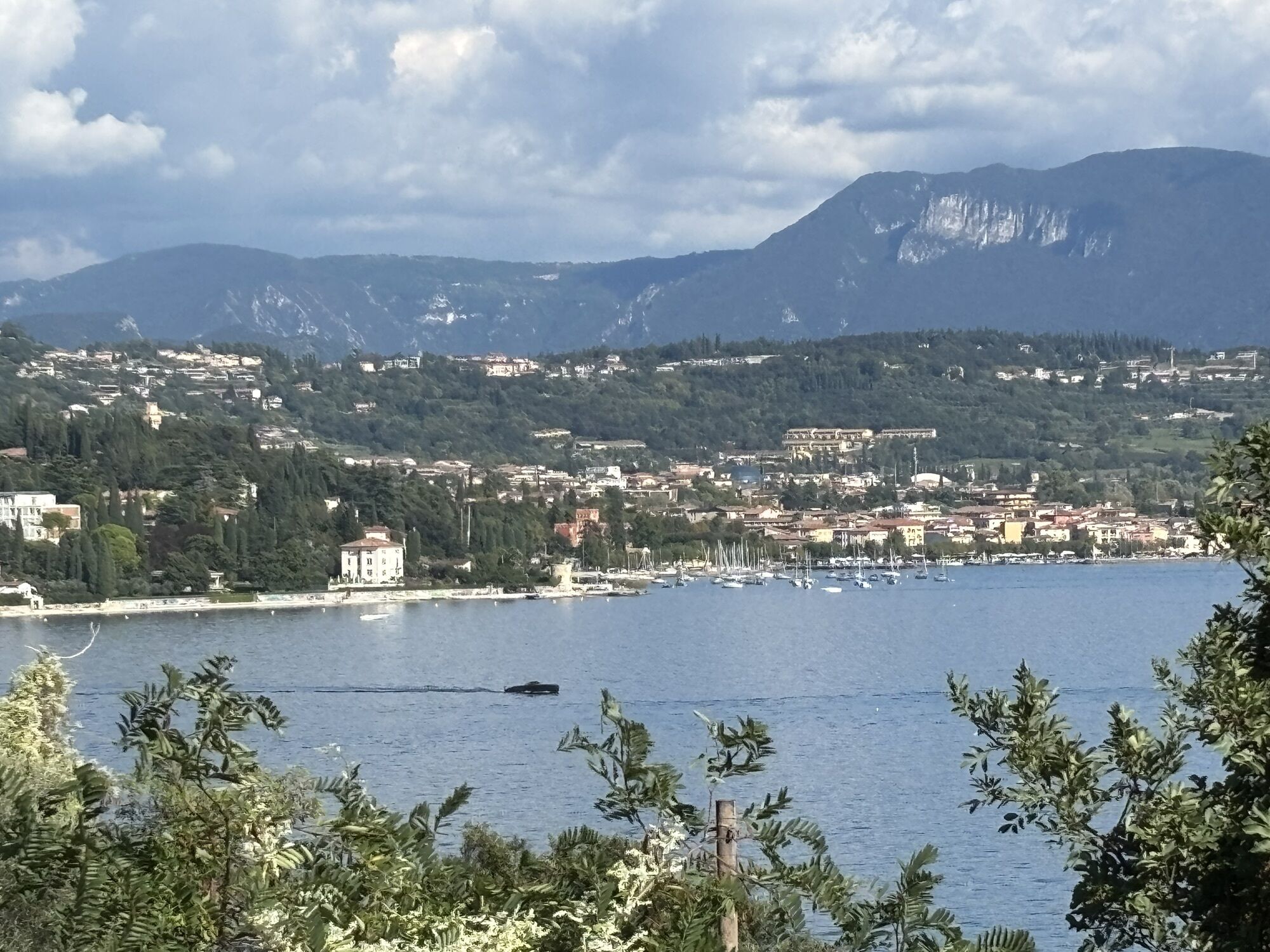
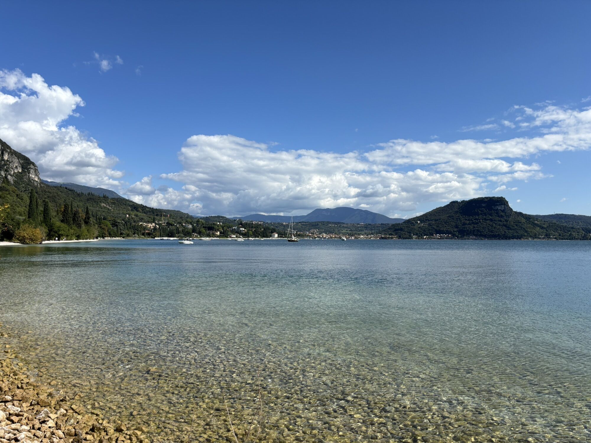
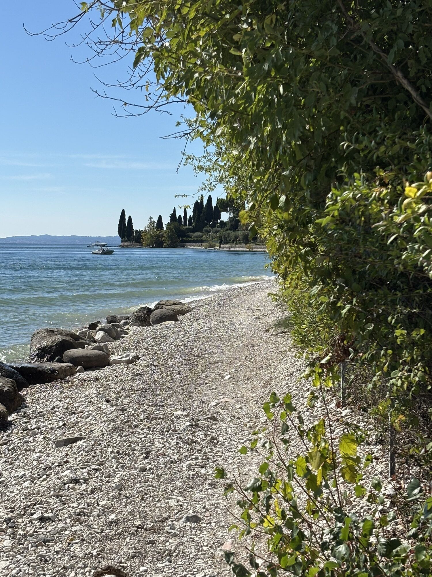
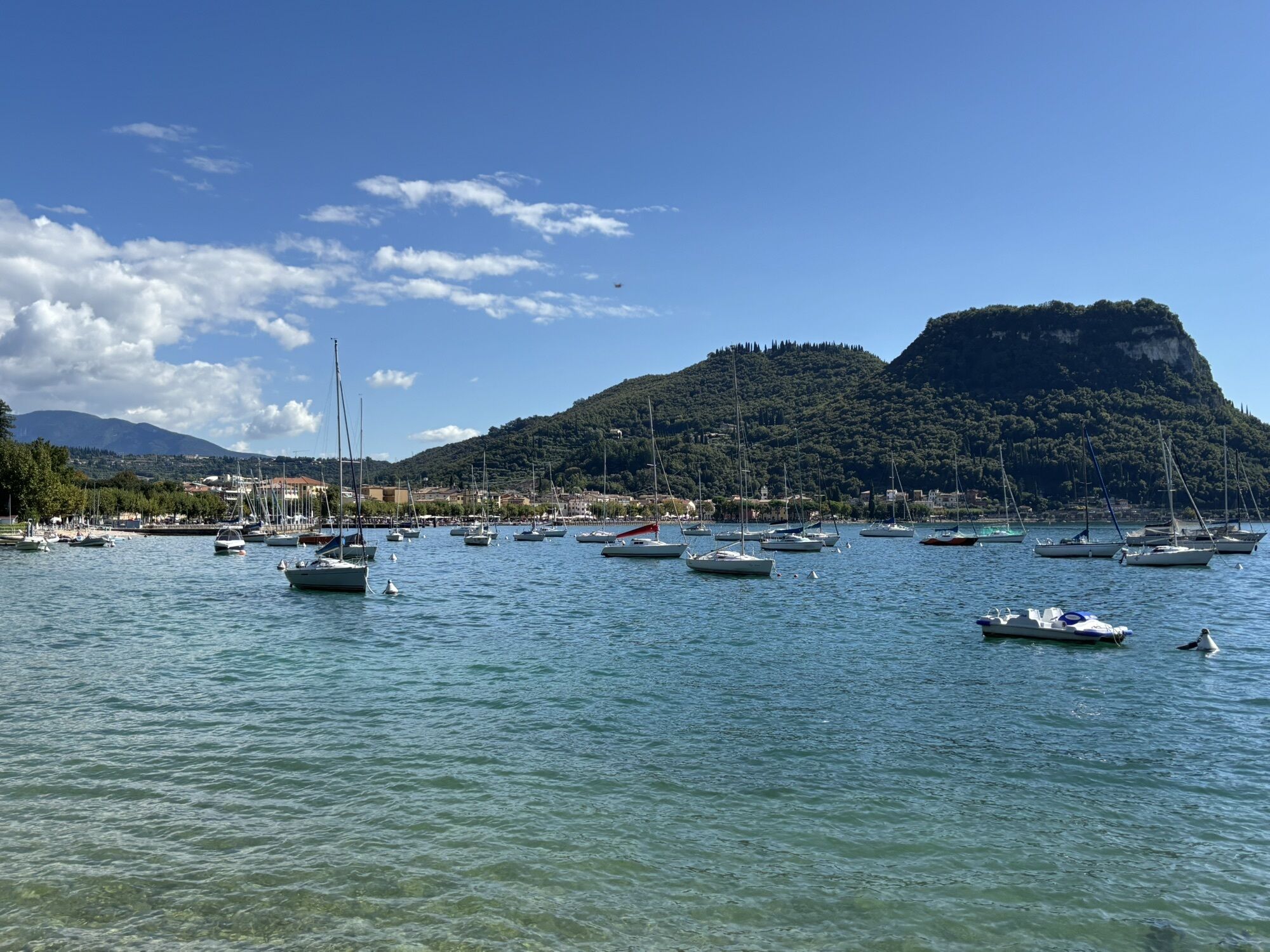
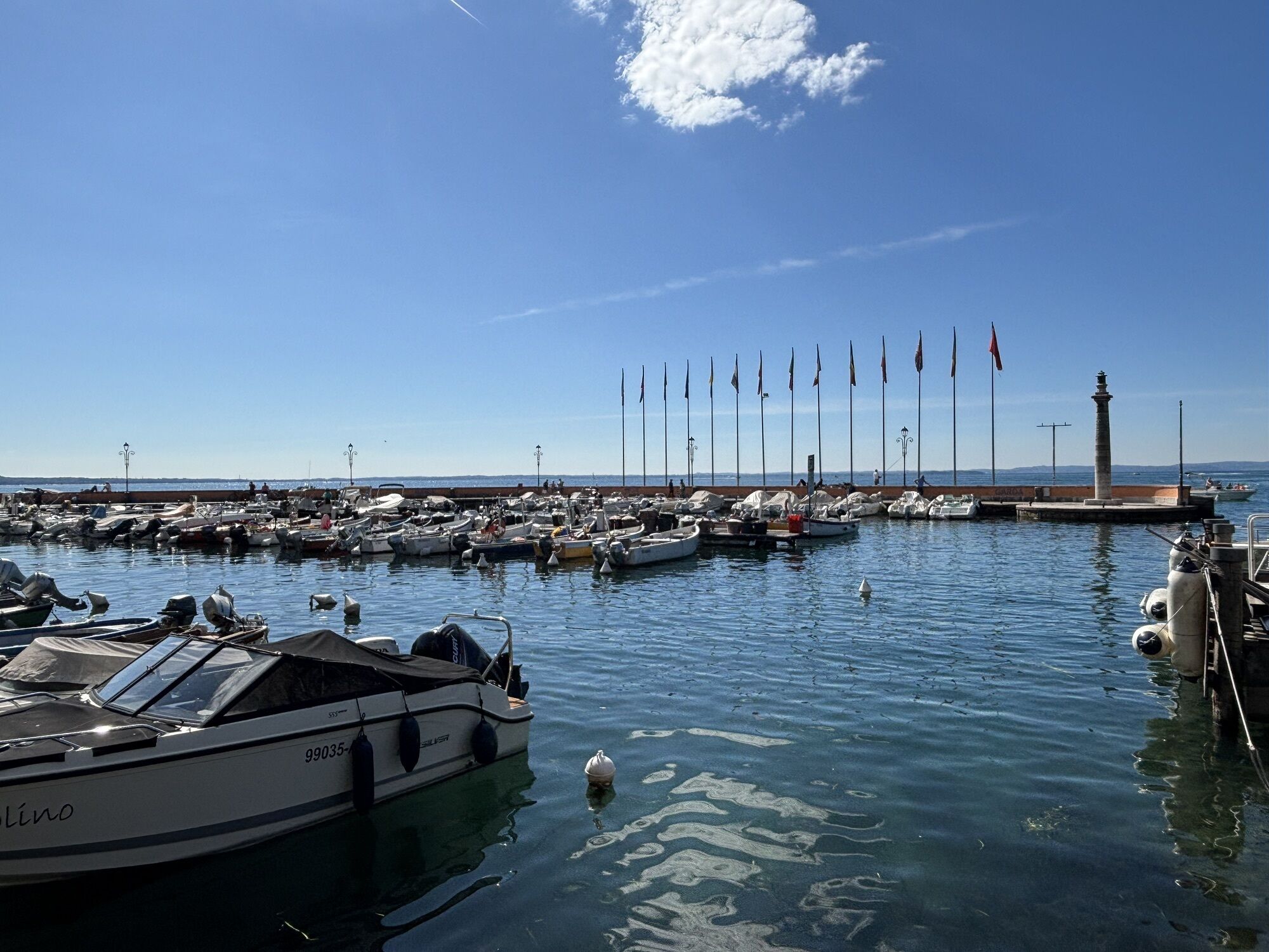
The surfaced road that climbs up the slopes of Mount Baldo and leads to Rifugio Graziani also offers racing bike enthusiasts an opportunity to reach significant altitudes. The tour, as it is presented...
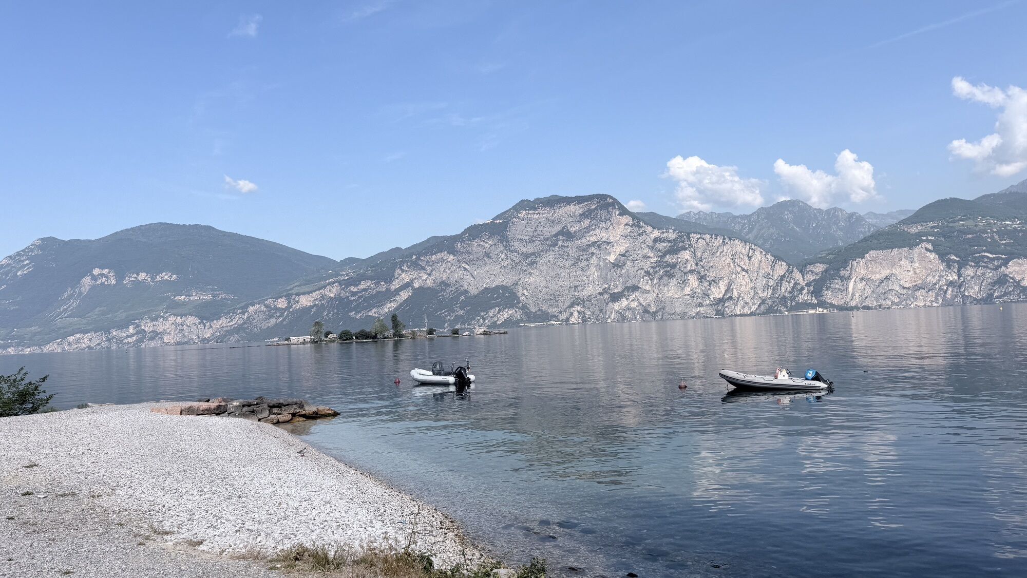
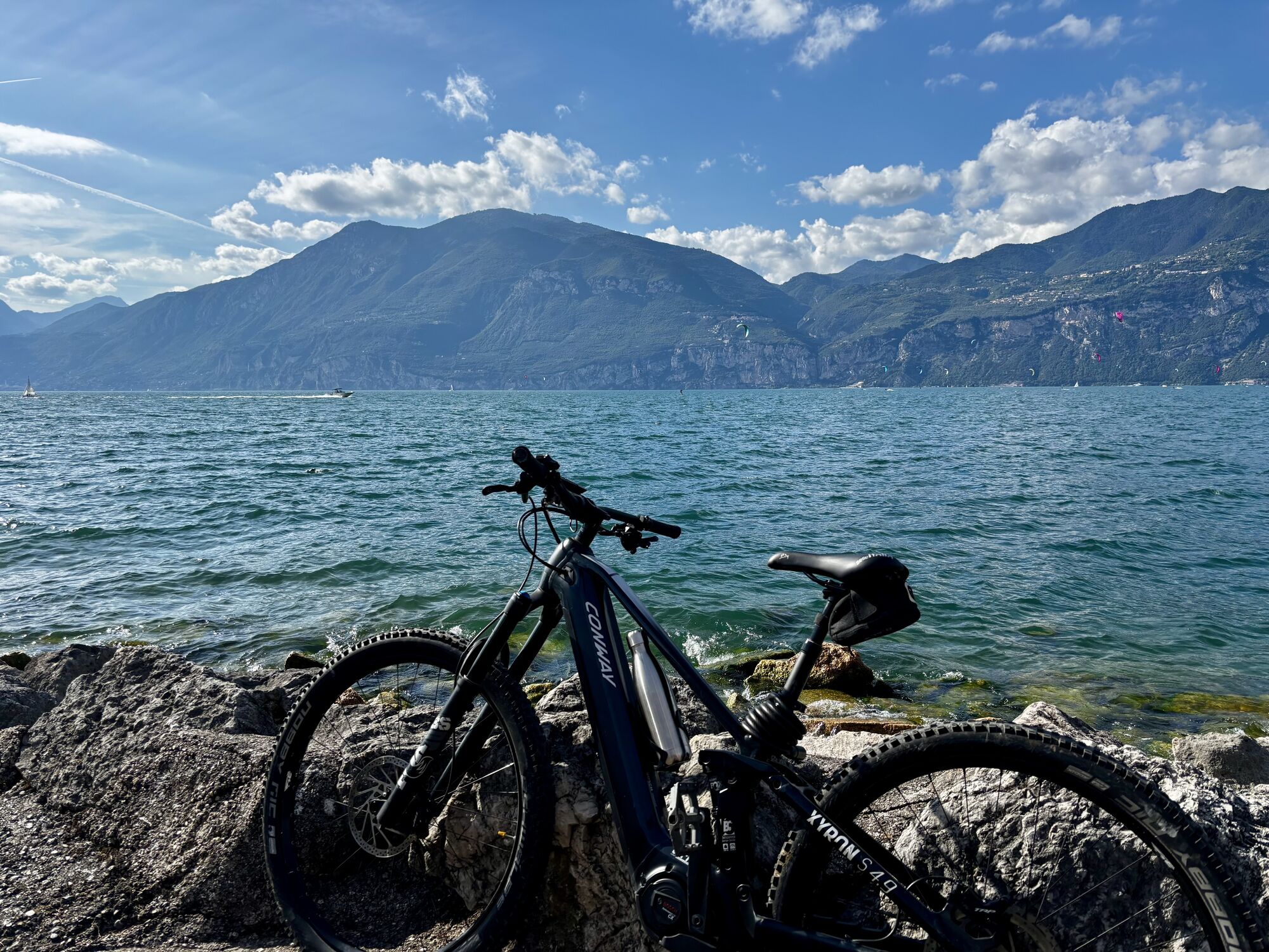
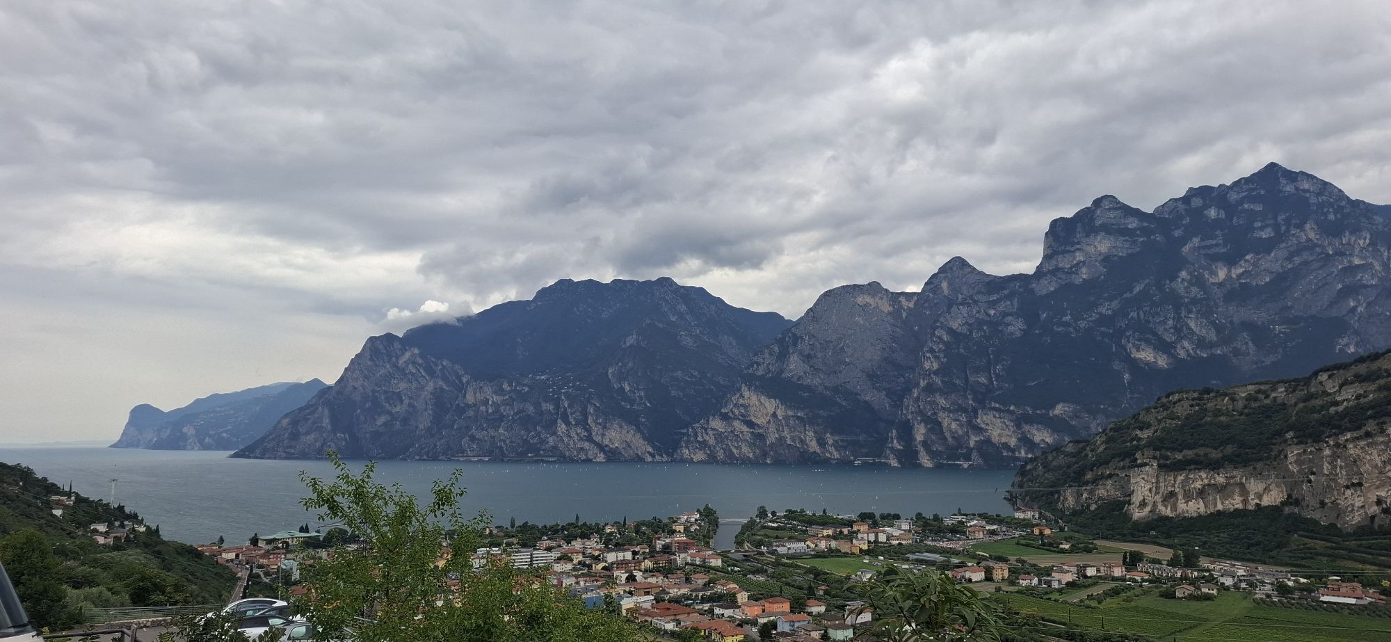
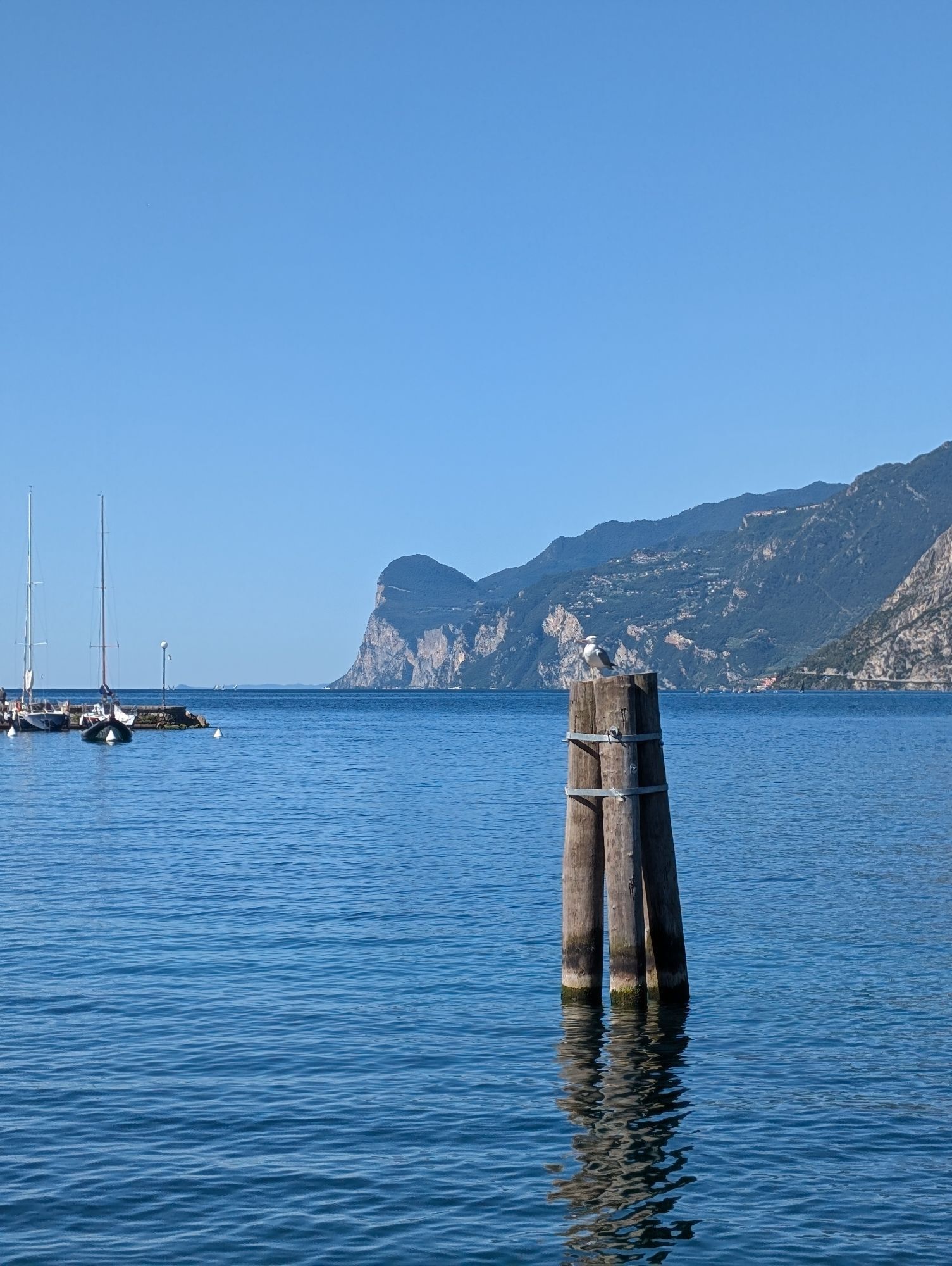
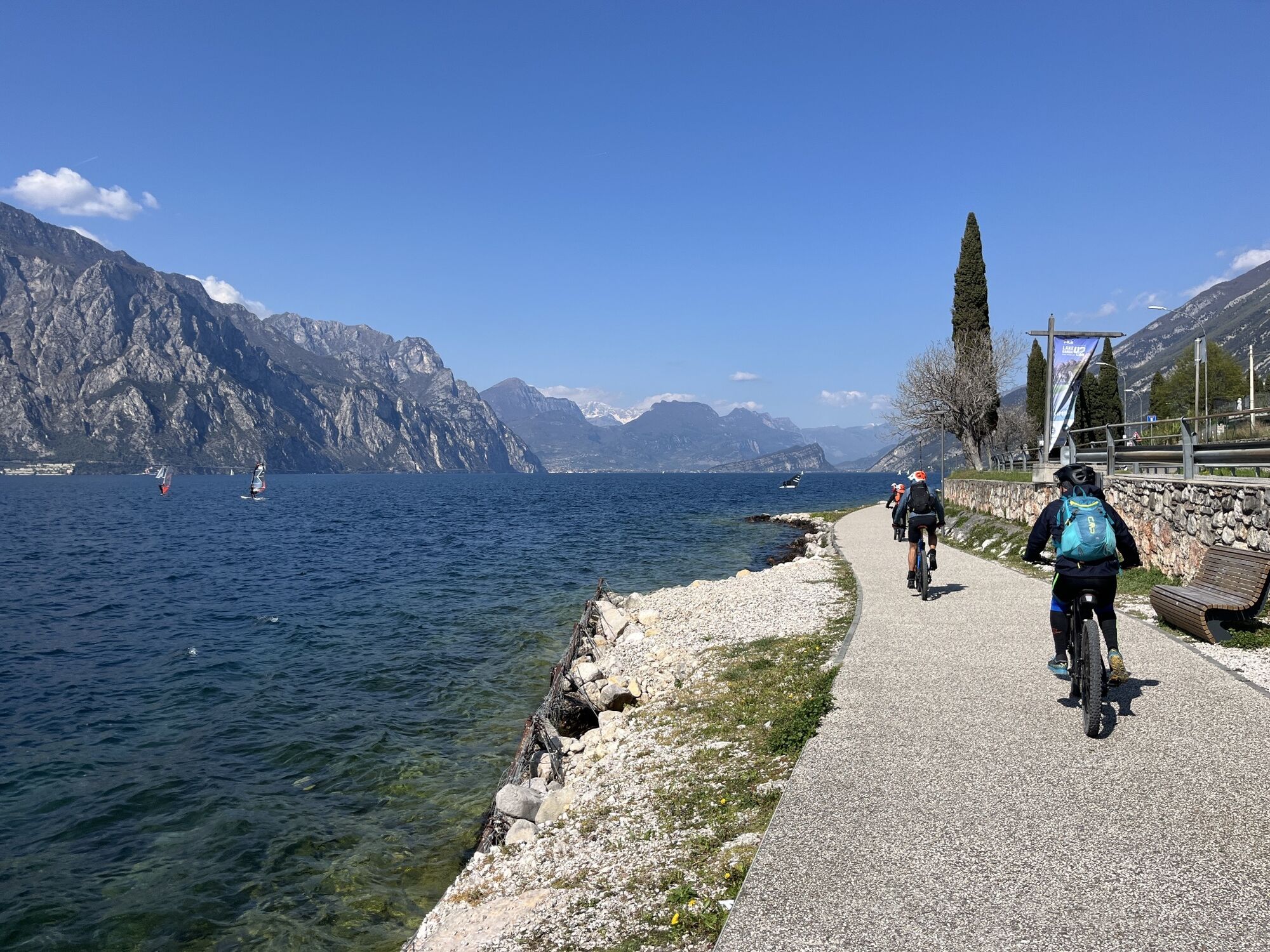
The surfaced road that climbs up the slopes of Mount Baldo and leads to Rifugio Graziani also offers racing bike enthusiasts an opportunity to reach significant altitudes. The tour, as it is presented here, features an initial flat part, skirting the blue waters of Lake Garda. Then, when we’re already feeling the kilometres in our legs, the long ascent to Mount Baldo sets in, with gradients exceeding 10% in some sections. The effort required is rewarded with another long descent that is just as long.
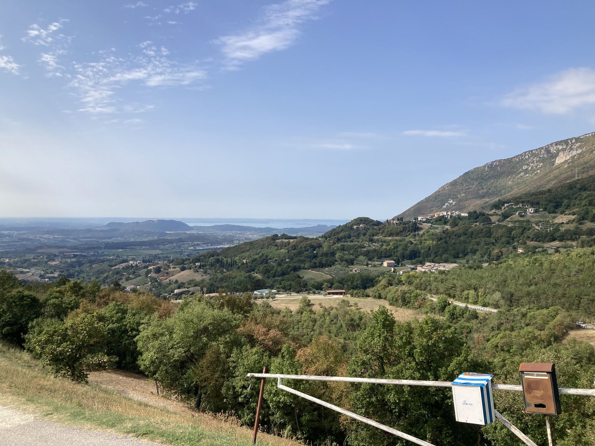
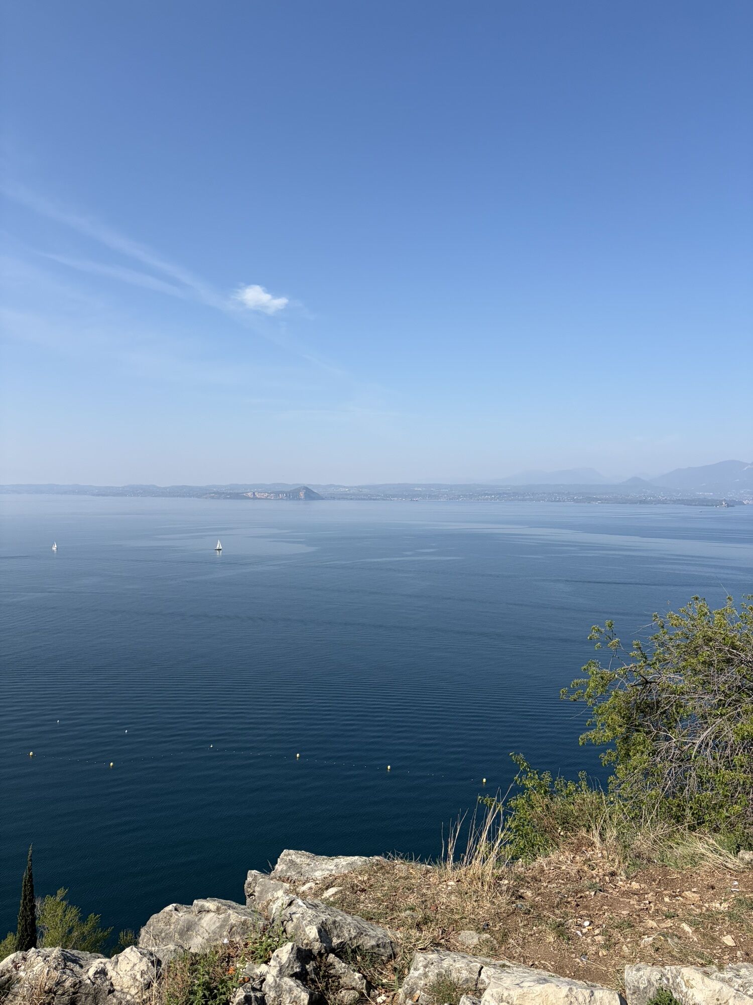
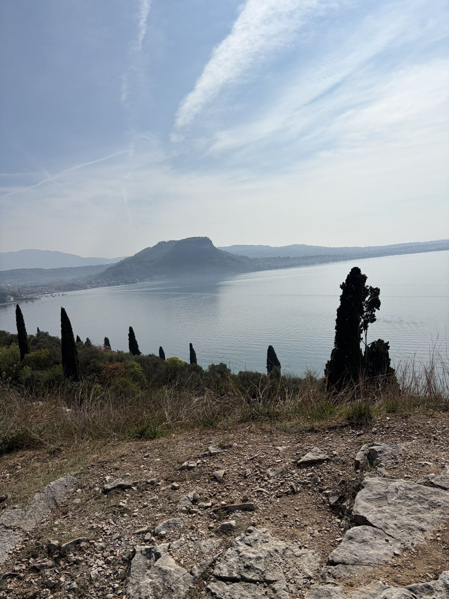
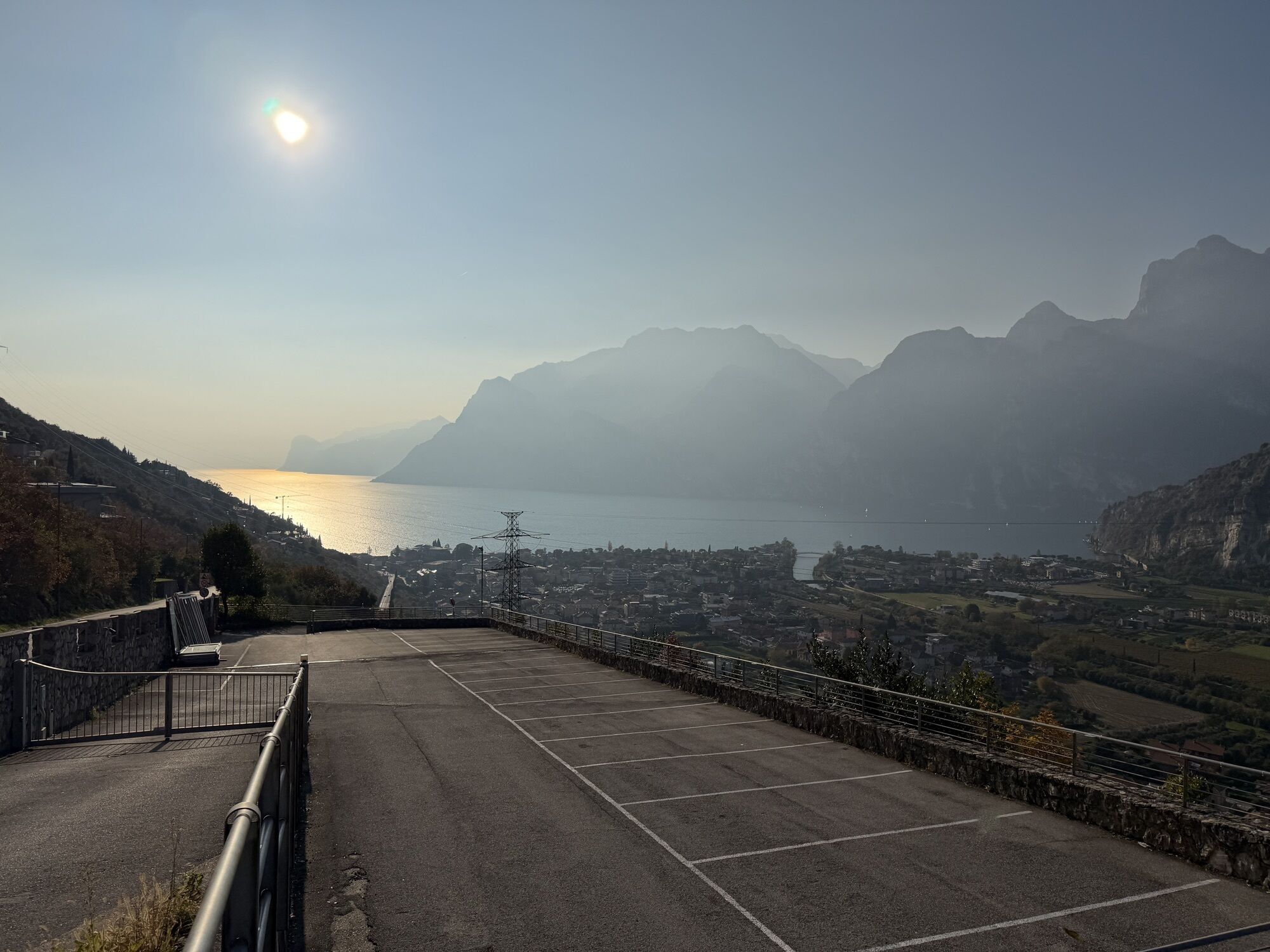
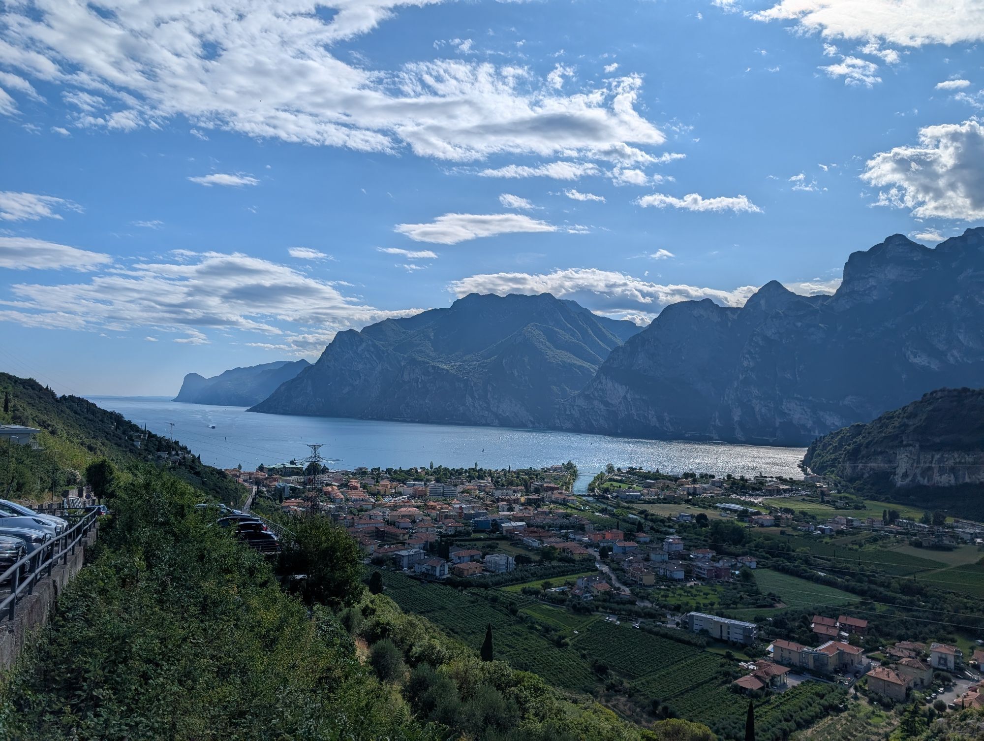
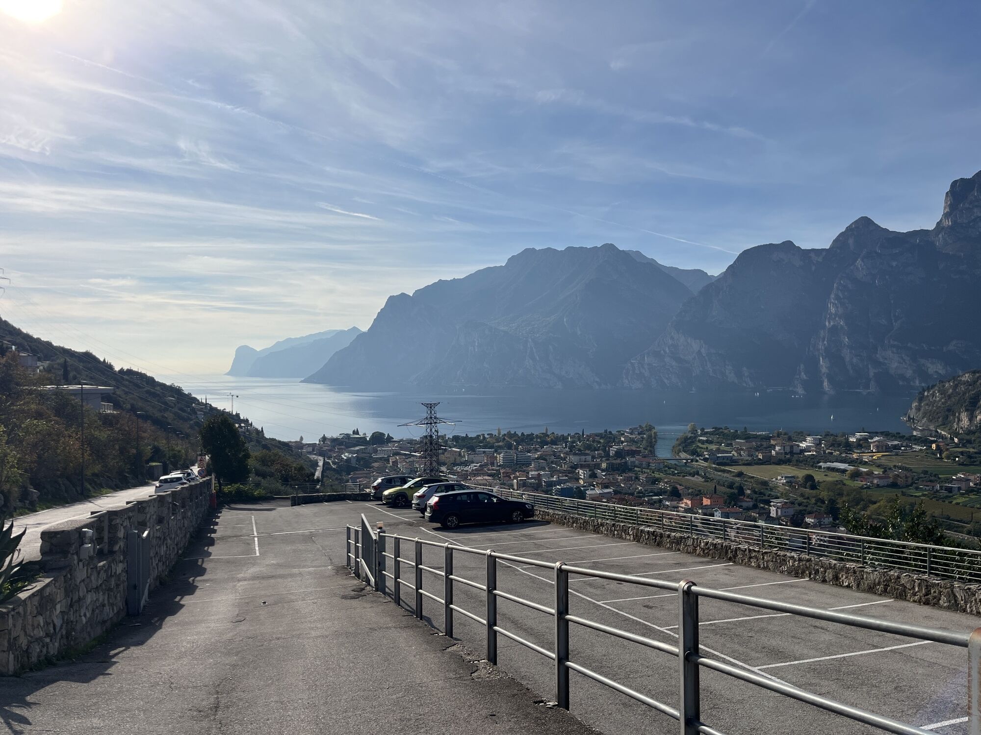
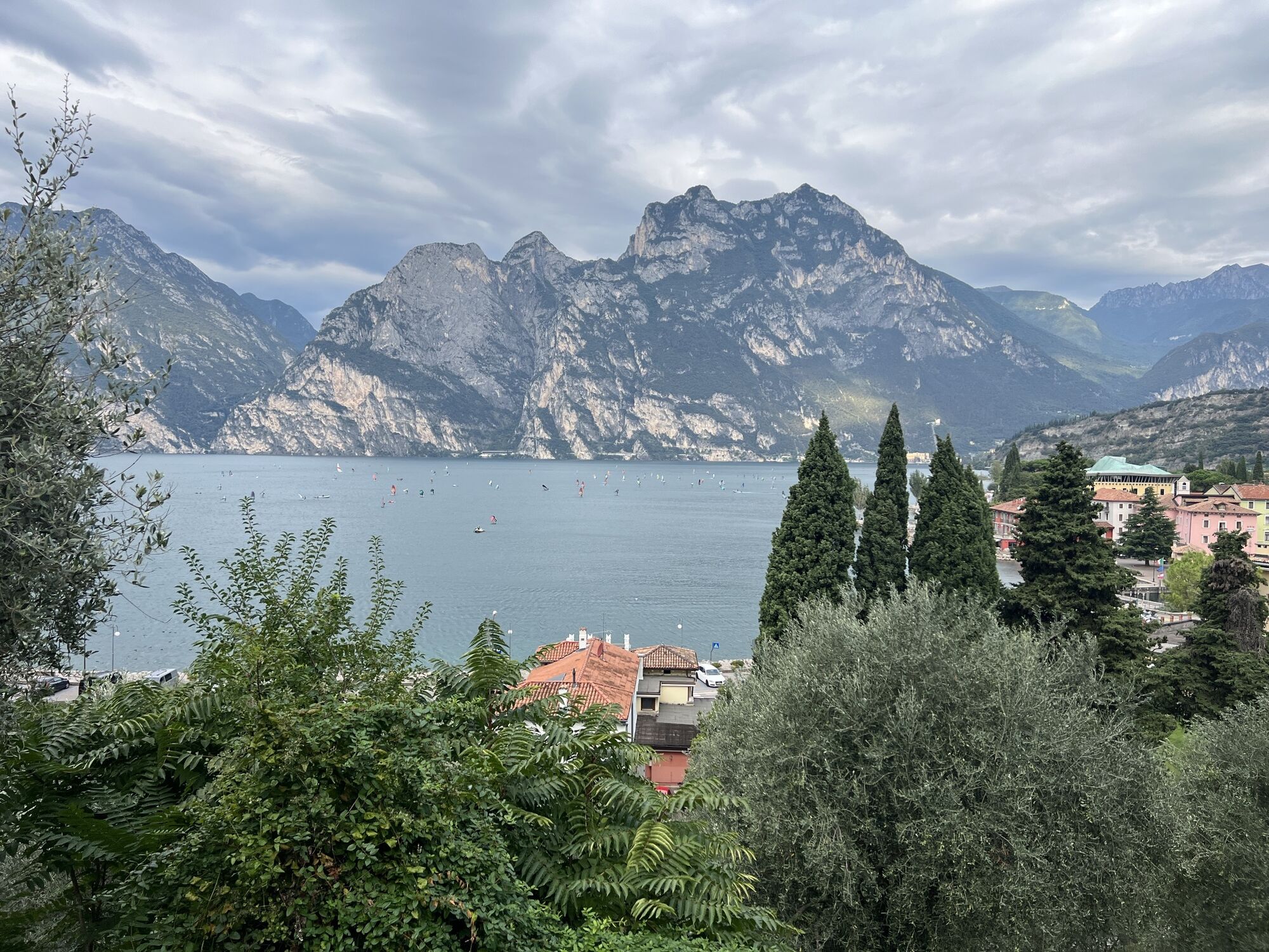
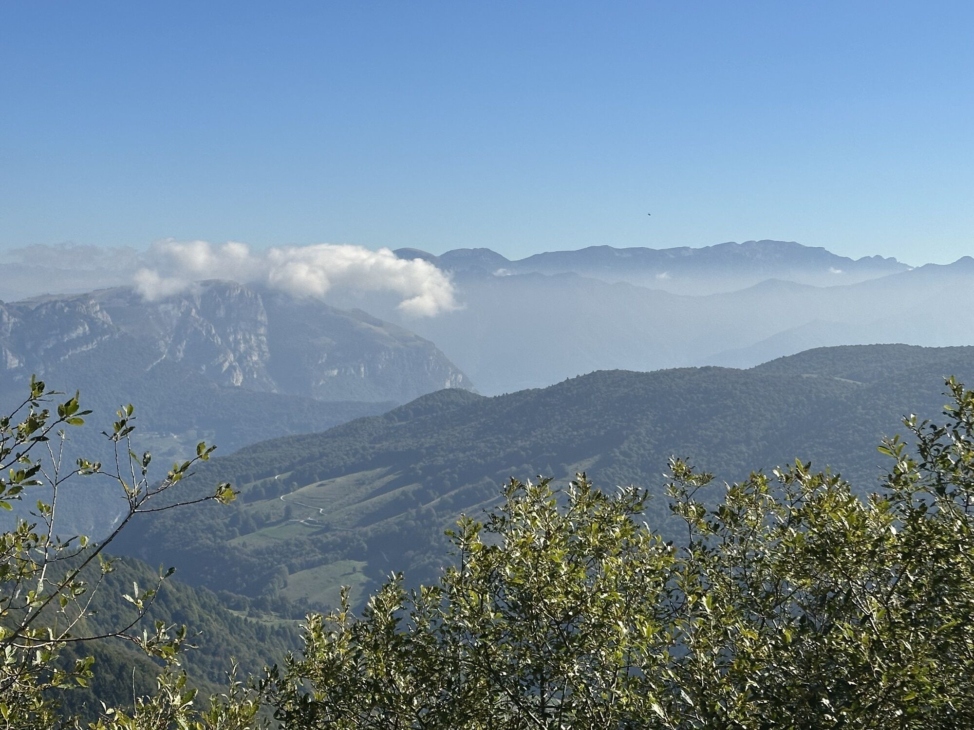
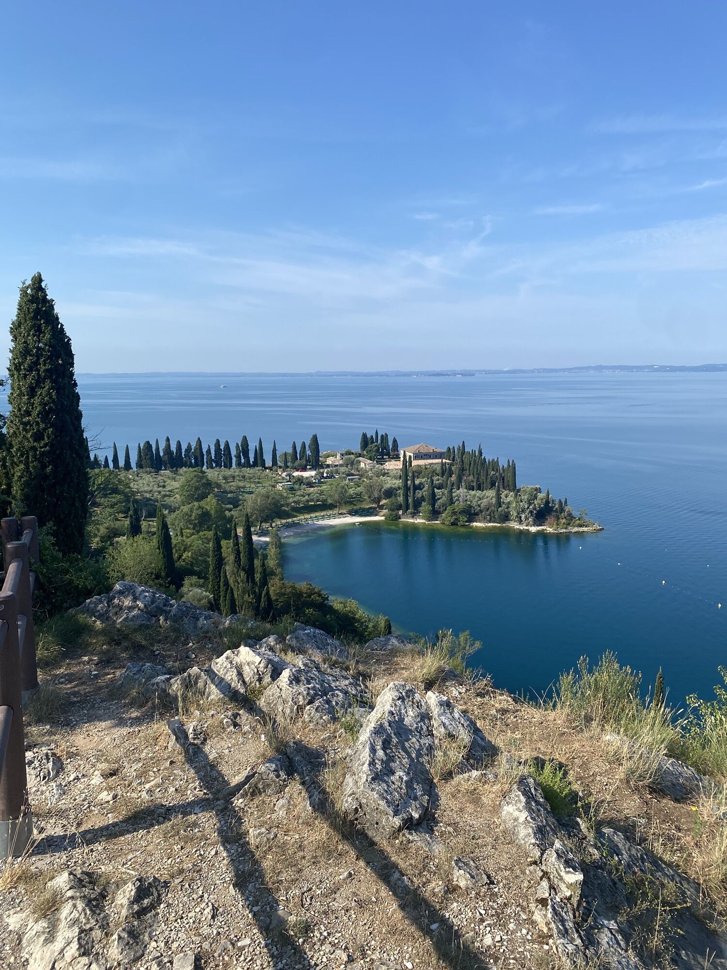
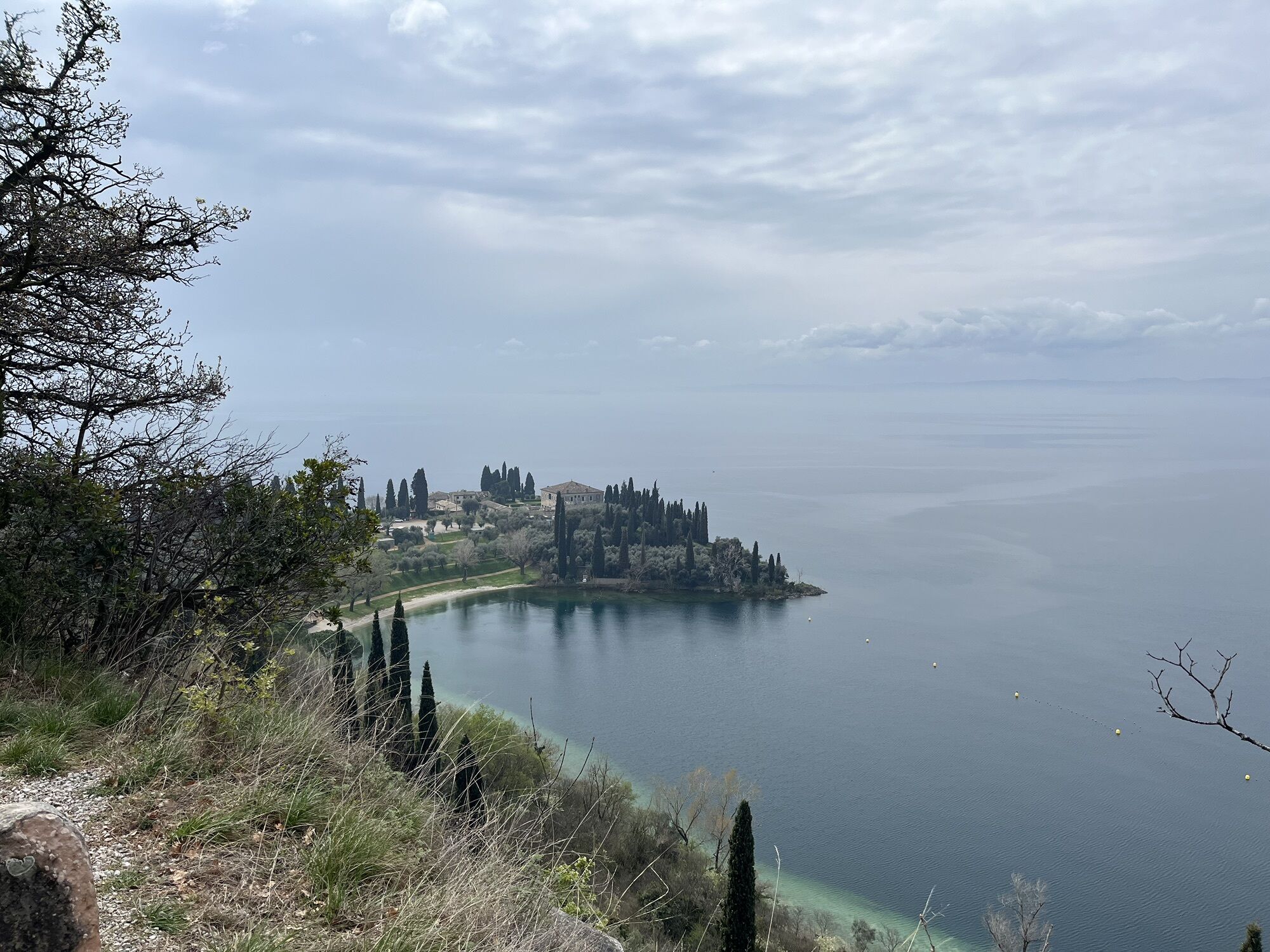
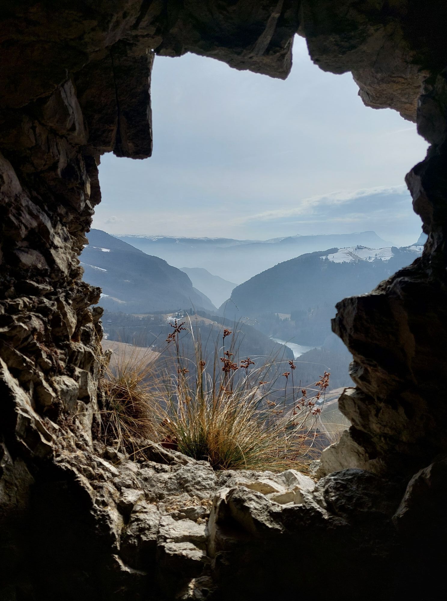
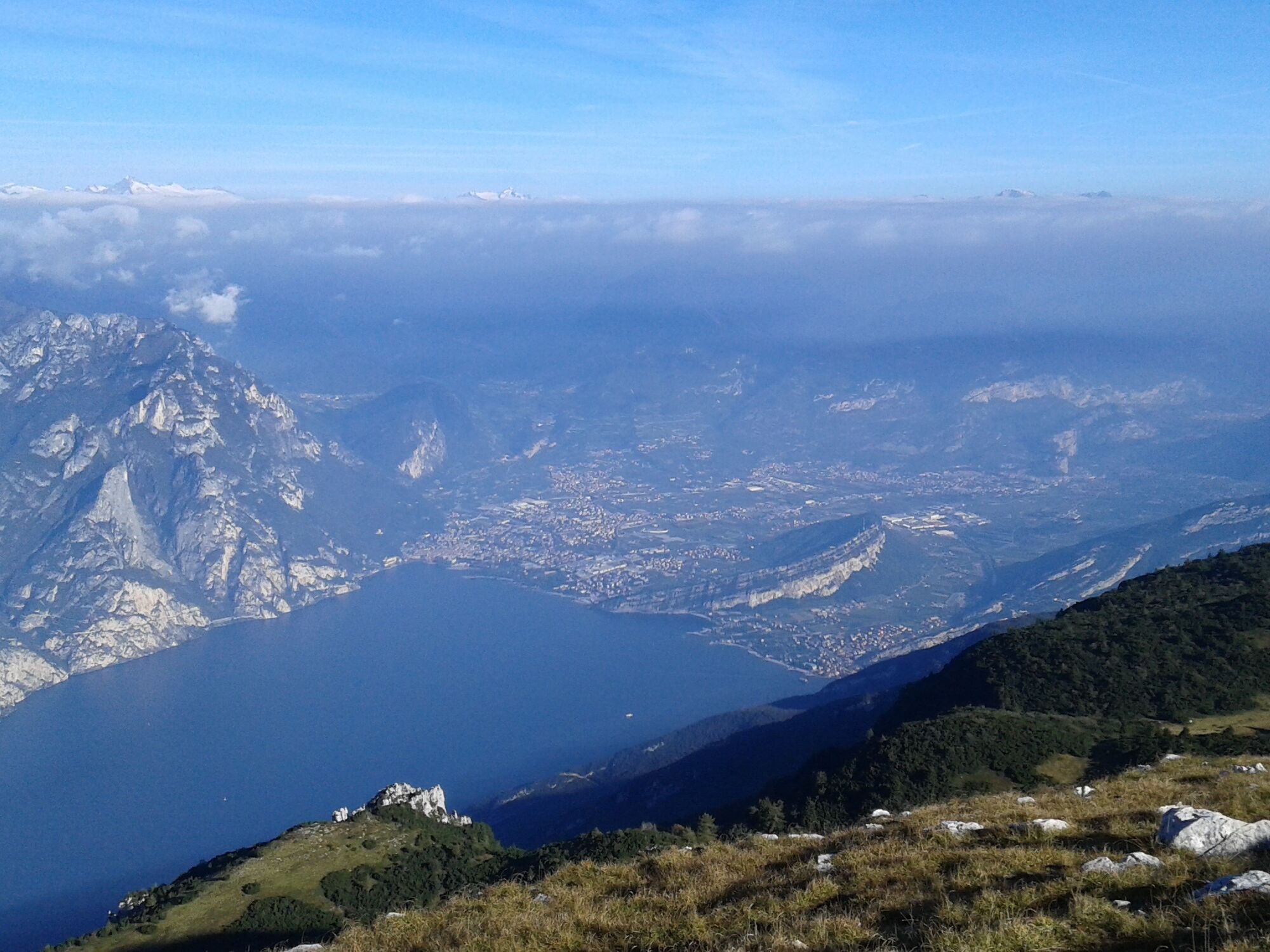
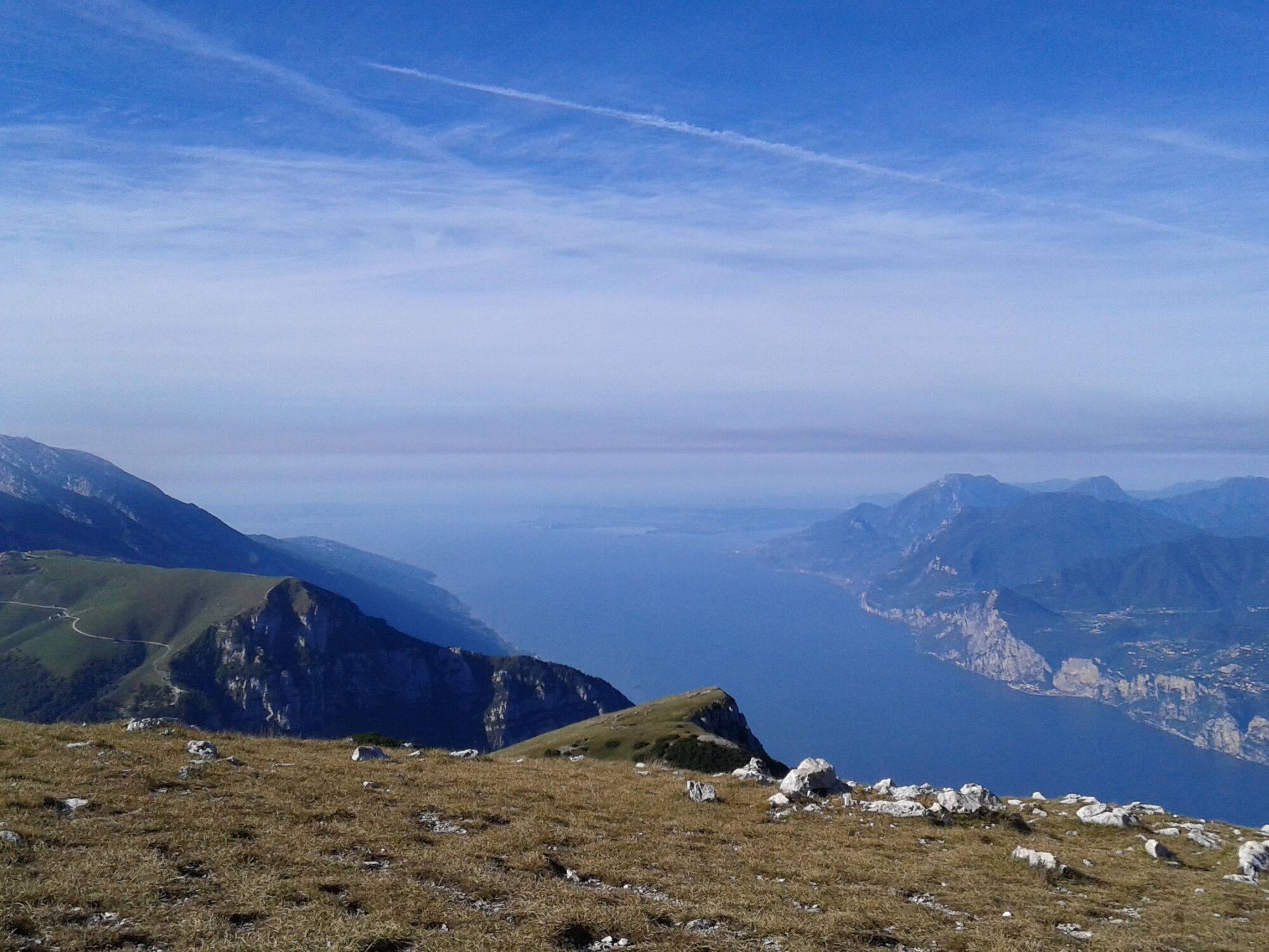
The length of this tour and the high gradient make this an undoubtedly tough proposal. The route is studded with many panoramic points, affording a splendid view, both of Lake Garda and of the Valle dell’Adige.

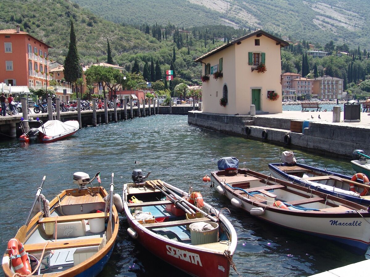
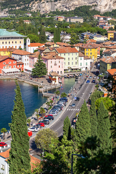

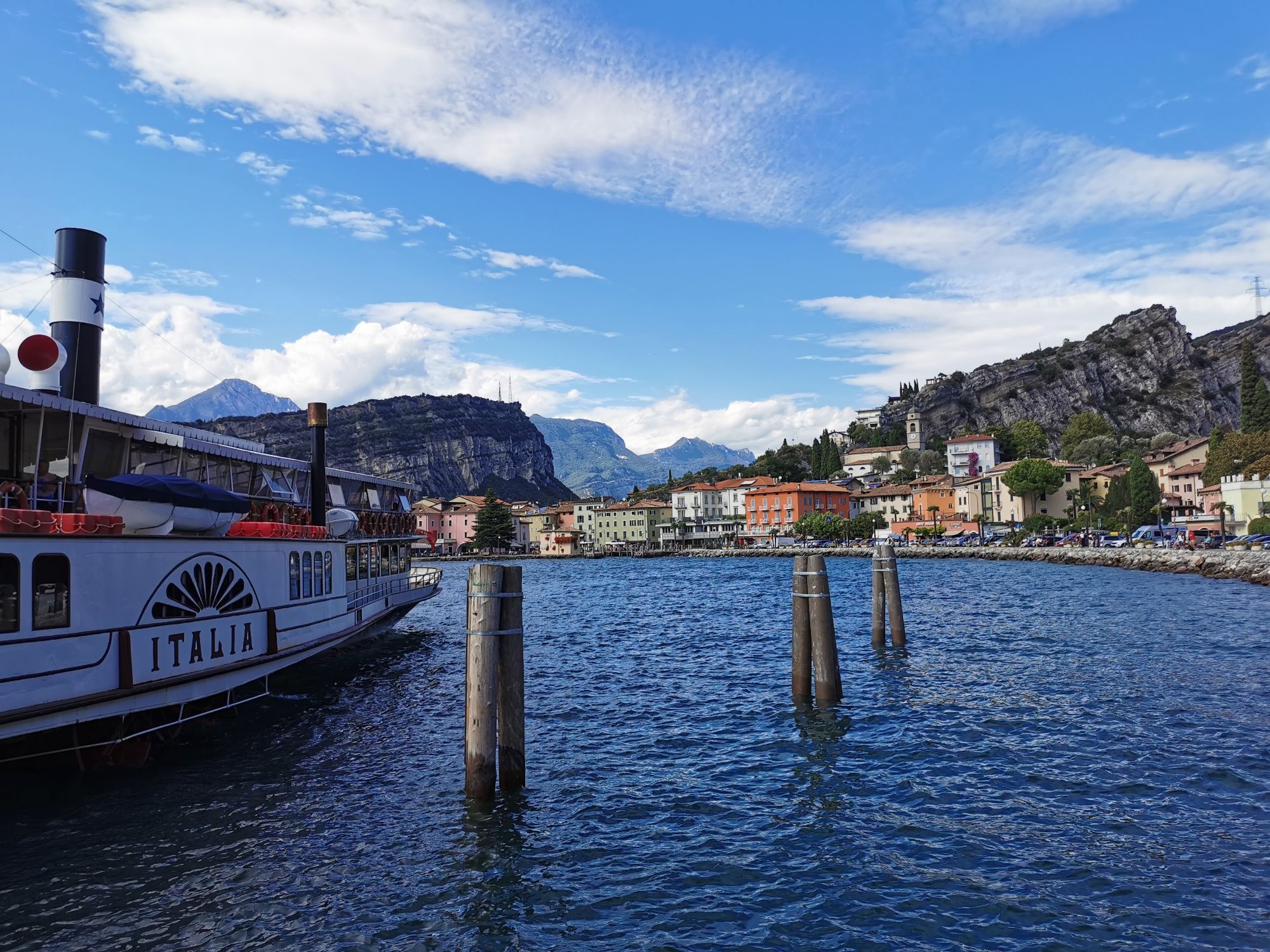
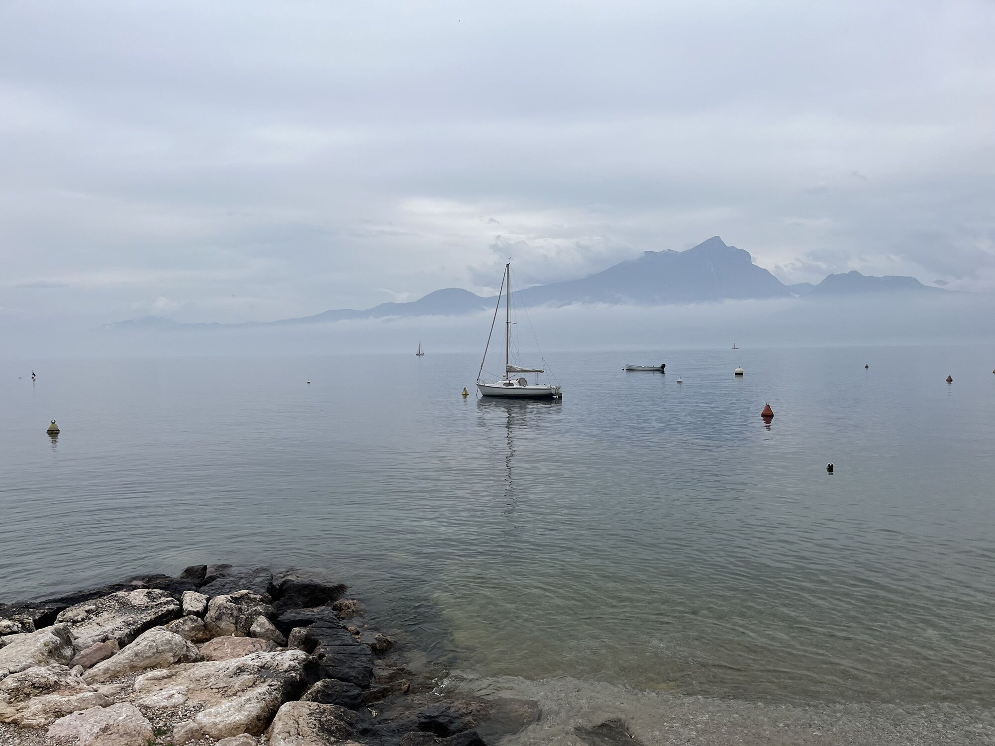
From Riva del Garda take the cycle path to Torbole sul Garda, afterwards follow the “Gardesana Orientale (Eastern Gardesana)” road, which flanks the Lake Garda for 10 km, leading for some stretches into tunnels.
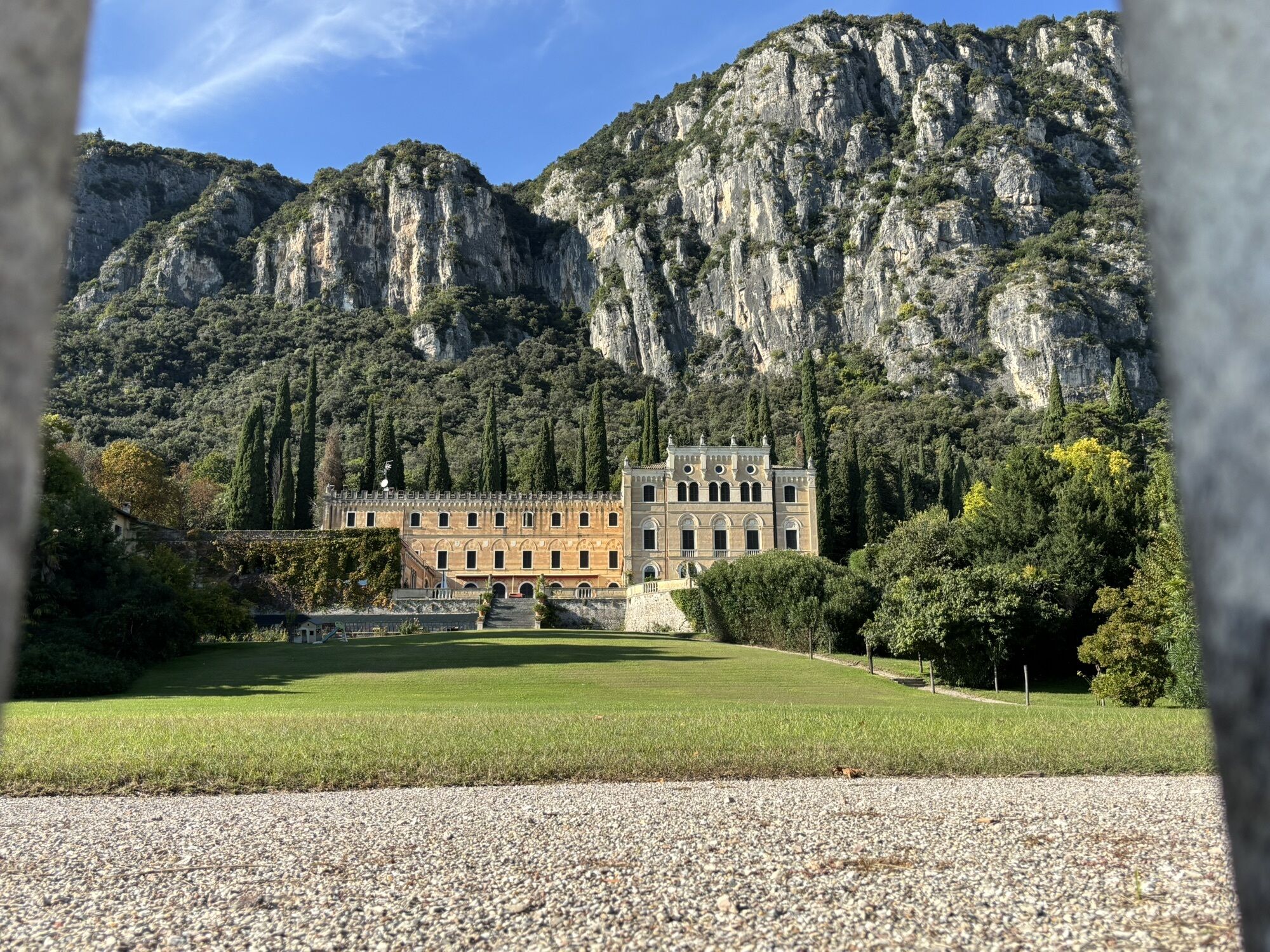
Passing from Trentino into the region Veneto you reach Malcesine. Carry on always flanking the lake, passing through the characteristic veronese villages of Brenzone, Castelletto, Torri del Benaco and Garda. At the roundabout go left uphill in the direction of Costermano, where the Pre-Alps start.
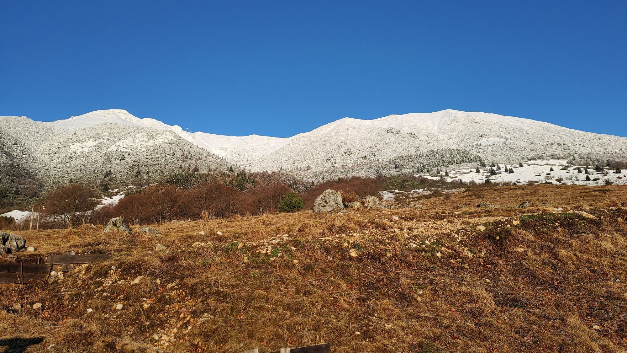
Continue past Caprino Veronese and turn left being ready to tackle an almost 30 km long climb passing through Ferrara Monte Baldo and ending with the apparently flat ground taking to the Rifugio Graziani mountain dew (1610 m).
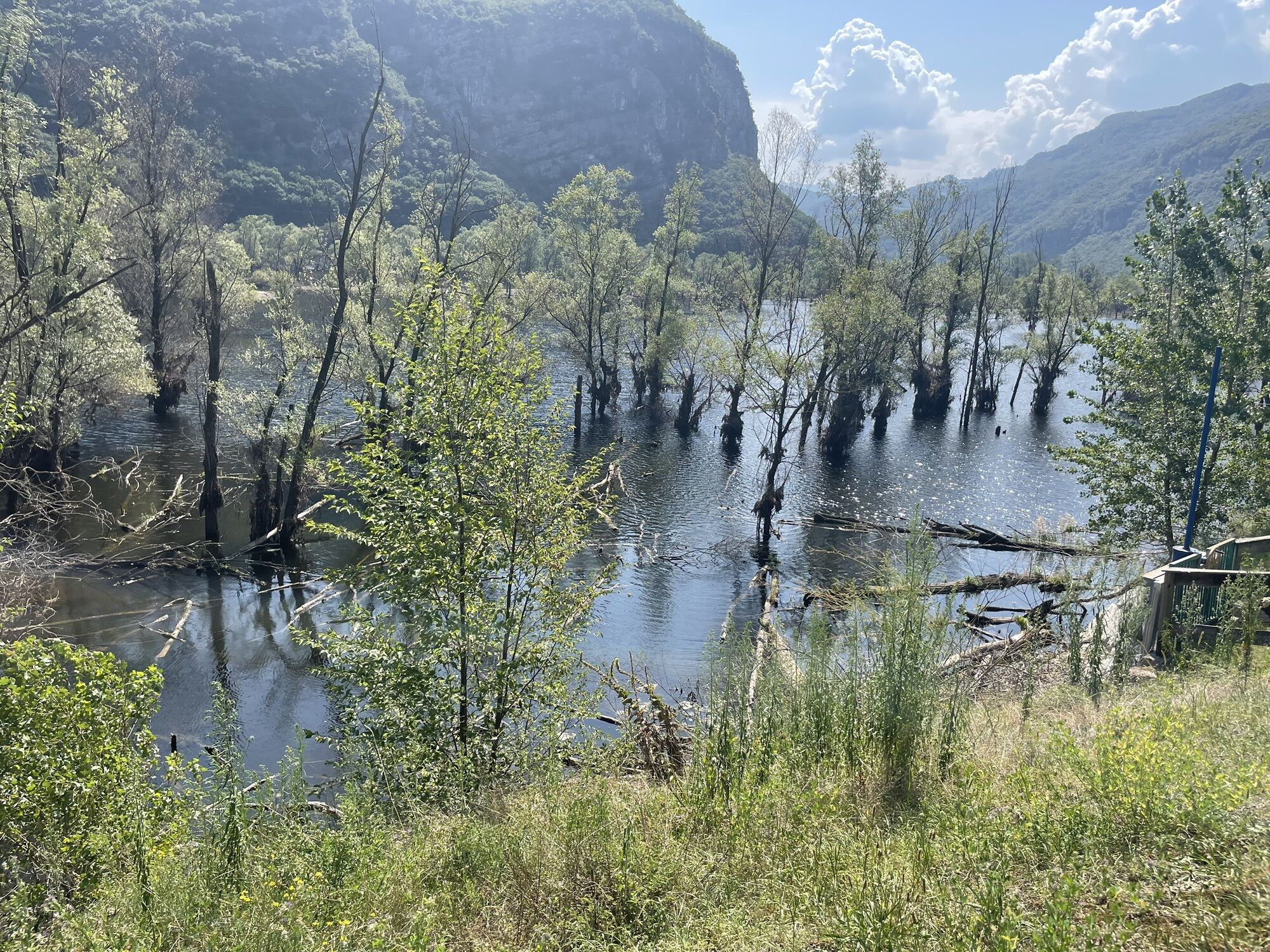
From here on starts the likewise long downhill road passing through S. Valentino and Brentonico leading to Mori. Take the cycle path towards Nago, passing through the nature reserve of the Lake Loppio and the S. Giovanni Pass. At the roundabout at the end of the town of Nago go left, go downhill towards Torbole sul Garda and return to Riva del Garda.
We remind that headlights and rearlights as well as the use of reflecting suspenders are obligatory in tunnels, even considering that most of these are illuminated.
Da
Da
Riding your bike requires specific clothing and equipment, even for relatively short and easy trips. It is always better to be prepared… e.g. for bad weather or a drop your energy levels. The unexpected things also make up a part of the fun!
Do not compare a road bike with a mountain bike. They are very different, especially in technical terms, and facing a hill with a road bike could be much more difficult than facing the same hill with a MTB. Therefore, remember to throughly evaluate the type of route you plan to do and the locations you plan to cross. Do not forget to consider the current season. Has it been raining? Attention: the paint of the crosswalk could be very slick.
What do I need to bring on my bike tour?
Bike helmet Bike gloves Bike glasses Waterproof/Windproof jacket Headlights and rearlights Reflecting suspenders Plenty of snacks (for example, dried fruit or energy bars) Water Bottle Bike repair kit (tire levers, mini bike pump, bike tube)It is always advised to let someone know where you plan to go and how long you expect to be.
Emergency telephone number 112.
Give your bike a regular checkup, especially if you've had it for years.
Be seen: you must wear a high vis jacket (or sash) in tunnels and on country roads after sunset.
Always wear your helmet.
Make sure your front and rear lights are working.
Put out your arm to give advance warning of your intention to change position and before you do anything, check there are no vehicles coming up behind you.
Don't use headphones or your mobile phone handsfree kit: you need all your concentration on the road!
Obey the road signs: stop at traffic lights and don't ride on the wrong side of the road.
If you are cycling in a group, always go in single file.
You've got a bell: use it to let pedestrians know you're there. Don't ride on footpaths. If you have to then get off and push your bike.
If there are cycle paths use them. It's your safety that's at stake and the rules of the road say you must.
Getting to northern lake Garda / Garda Trentino
The towns in Garda Trentino - Riva del Garda, Torbole sul Garda and Arco – are connected by several urban and intercity bus lines which will take you to the starting point or in the immediate surroundings.
For up-to-the-minute information on timetables and routes
You can also get to Riva del Garda and Torbole sul Garda by the public ferry service.
Paid parking: Panorama (Via delle Brae), Goethe (Via Strada Granda), ex Villa Cian (Via Sarca Vecchio), Busatte (Via delle Busatte)Paid parking: Panorama, Via Strada Granda, Lungolago Conca d'Oro.
6
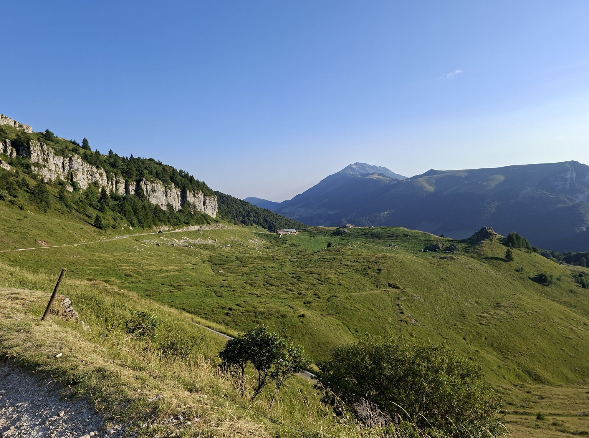
A few kilometres before arriving at Rifugio Graziani, we are treated to a unique panorama of the lake, from the famous Bocca di Navene mountain saddle.
Spletne kamere s turneje
-
Surfcenter Lido Blu
-
San Valentino Lift
-
Polsa
-
Pista Baby
-
San Valentino
-
Malcesine - Stickl Sportcamp
-
Bardolino - Color Hotel
-
Arco
-
Municipio
-
Municipio
-
Municipio
-
Municipio
-
Municipio
-
Centro Nautico Bardolino
-
Lido Mirabello
-
Lido Mirabello
-
Riva del Garda - Porto
-
Limone Sul Garda - Hotel Splendid
-
Torbole - Residence Casa al Sole
-
Torbole - Hotel Lido Blu
-
Limone - Residence San Luigi
-
Town Hall - Villa Boghi
-
Ciclopedonale - Limone sul Garda
-
Spiaggia
-
Lungolago - Limone
-
Limone sul Garda
-
Limone sul Garda
-
Riva del Garda - Bastione
-
Gardasee - Malcesine
-
Gardasee - Malcesine
-
Gardasee Campione

Priljubljeni izleti v okolici
-
4.2
Madonna della Coronna
svetlobaPohodništvo 3.31 km -
4.9
Monte Baldo
težkoGorski pohodništvo 12.4 km -
3.7
Auf den La Rocca di Garda
svetlobaPohodništvo 3.24 km -
4.8
Gerardo Sega Klettersteig (B/C)
Via ferrata 8.17 km -
4.0
Gardasee - Monte Baldo - Mittelstation bis Bergstation
srednjaPohodništvo 6.05 km -
4.3
Garda - Lazise - Bardolino
svetlobaKolesarjenje 30.8 km -
4.8
Klettersteig Gerardo Sega
srednjaVia ferrata 14.3 km -
4.2
Rundwanderung über Eselspfade zum Geisterdorf Campo
svetlobaPohodništvo 6.10 km -
5.0
Tour Monte Baldo
težkoPohodništvo 18.2 km -
4.8
Torbole-Malcesine-Monte Baldo (Mittelstation)-Torbole, Trentino-Südtirol/Italien
srednjaCestno kolo 49.6 km
Pohodništvo in sledenje


Ne zamudite ponudb in navdiha za naslednje počitnice
Vaš e-poštni naslov je bil dodan na poštni seznam.





