Navigacija po spletni strani
Pridobite to turo v svoj mobilni telefon
Zemljevid
Lake Garda Tour (clockwise)

težko
Cestno kolo
142.70 km
Skenirajte kodo QR in začnite navigacijo v aplikaciji bergfex.
QR Code
Pohodništvo in sledenje

Lake Garda Tour (clockwise)

Razdalja
142.7 km
Trajanje
06:00 h
Ascent
1,445 hm
Morska gladina
64 - 278 m

Stopnja težavnosti: 4
Prenos skladbe
Zemljevid
Lake Garda Tour (clockwise)
težko
Cestno kolo
142.70 km

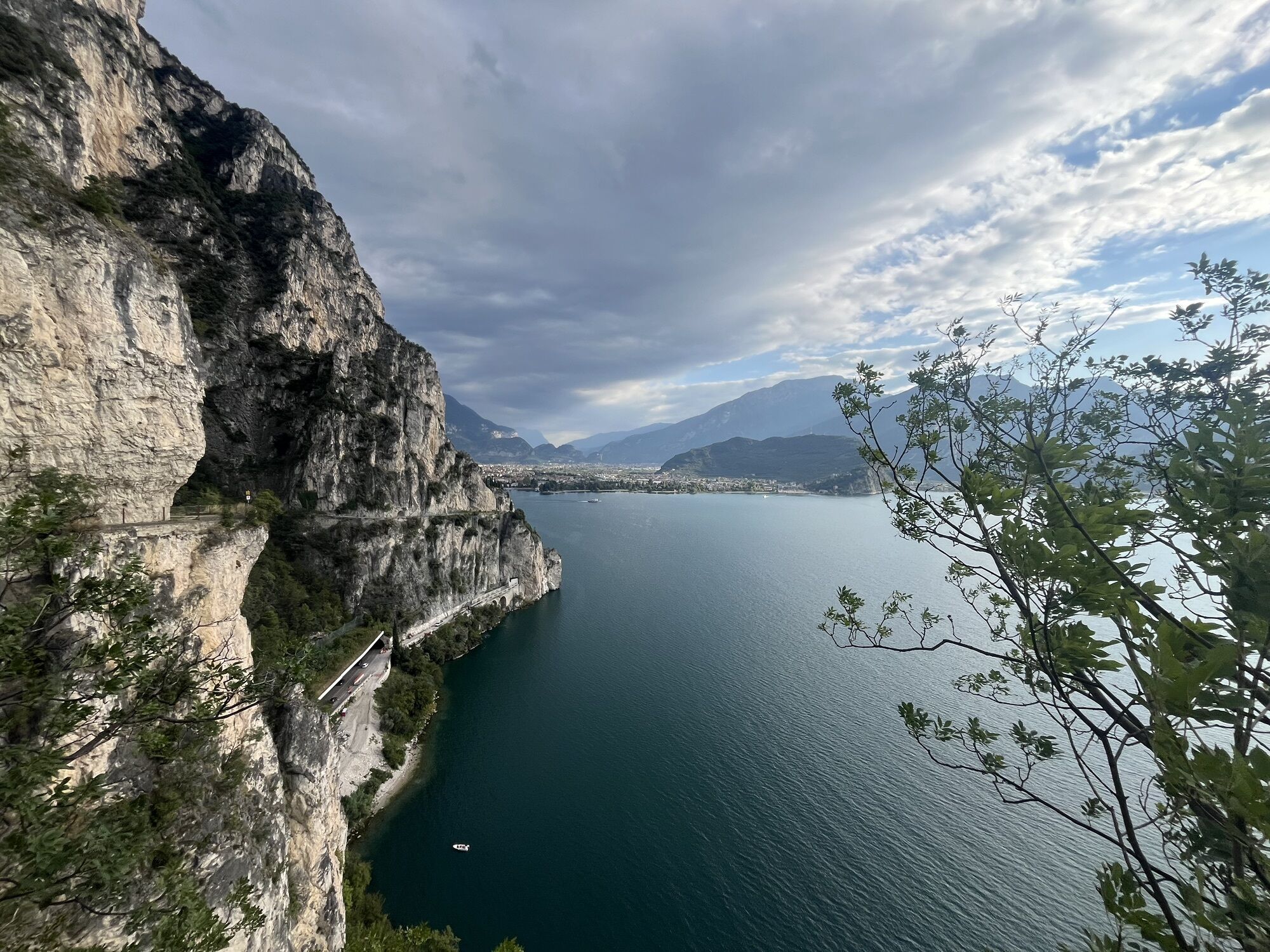
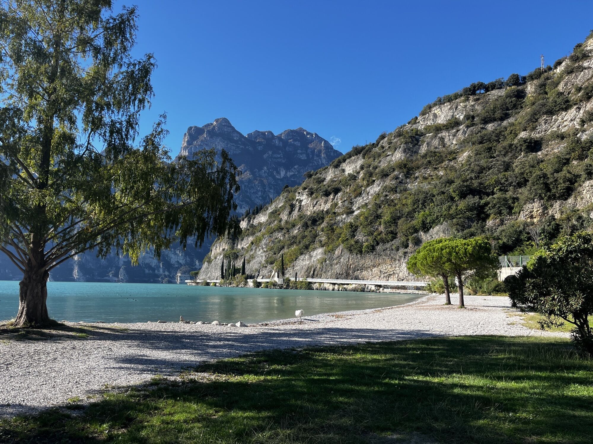
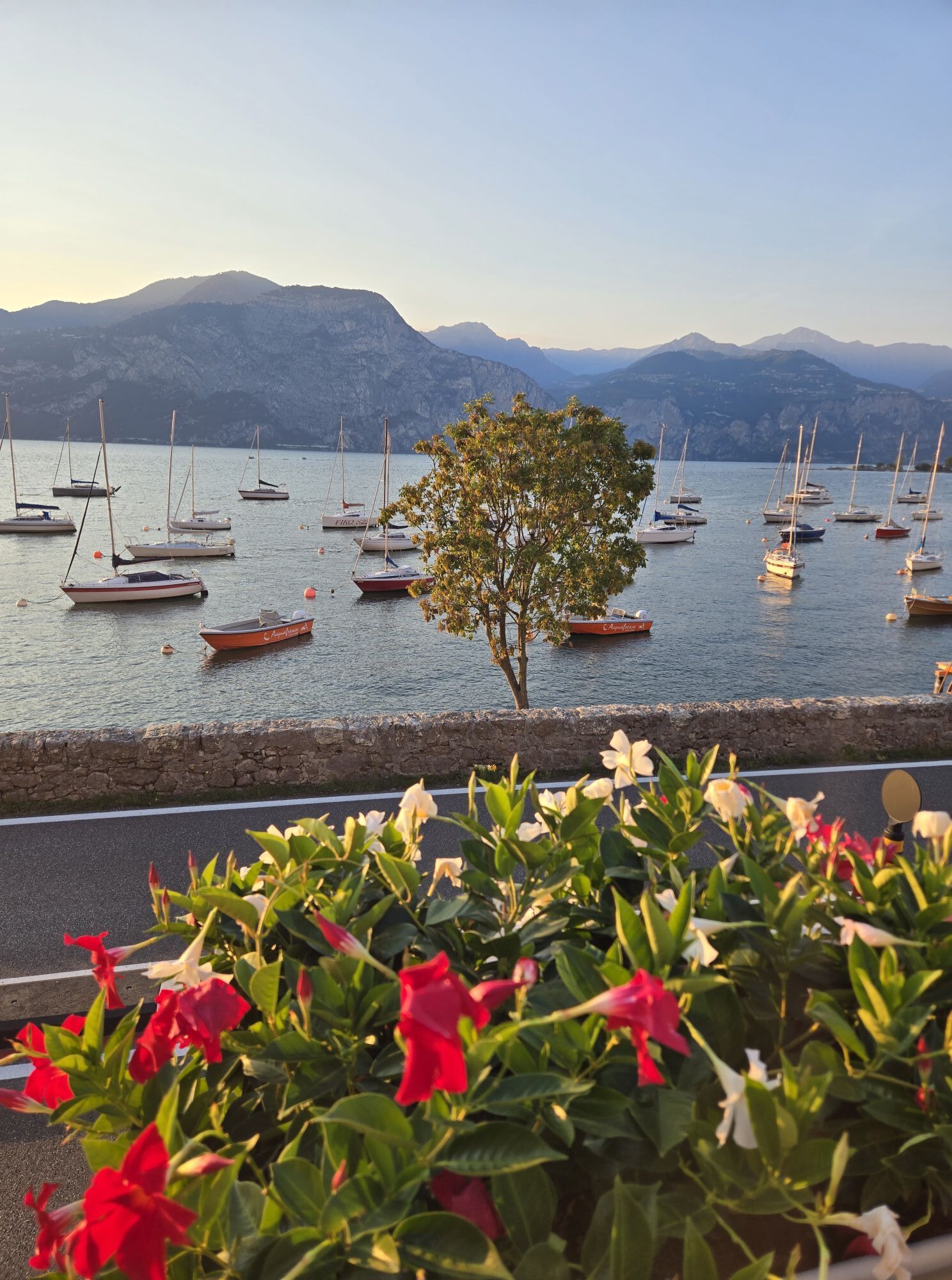
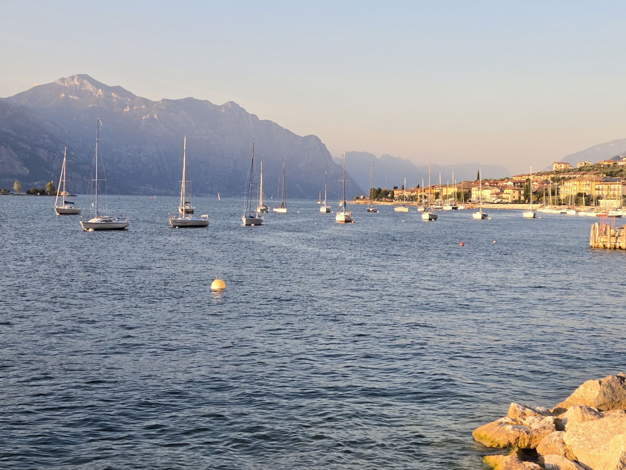
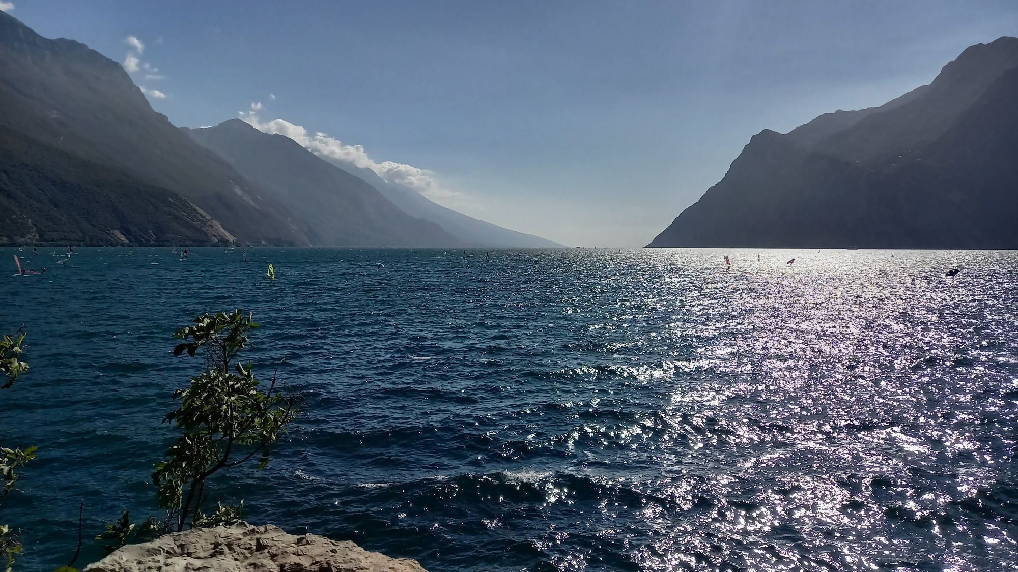
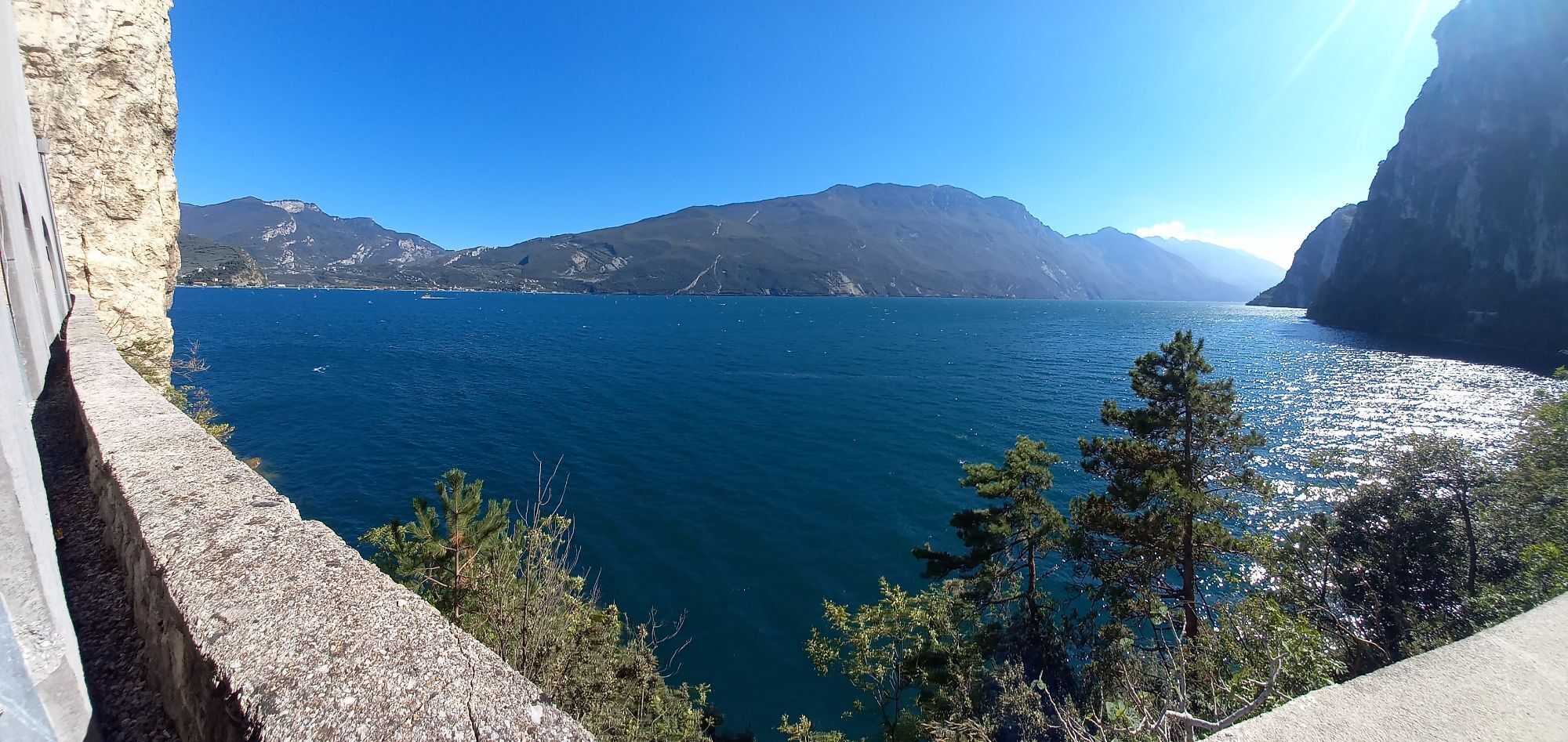
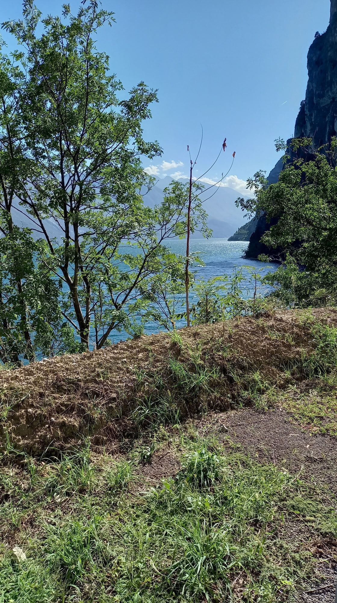
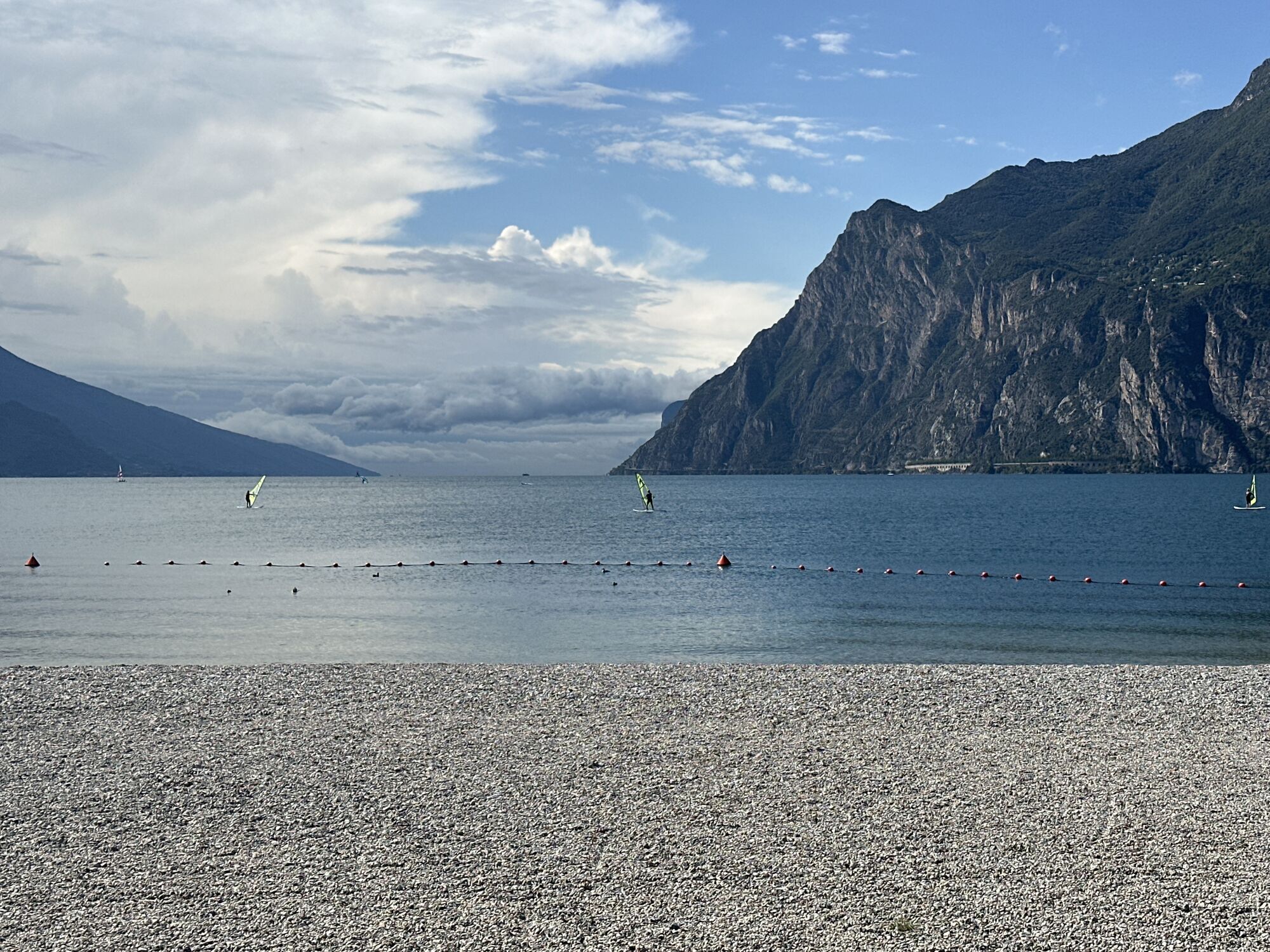
Fotografije naših uporabnikov

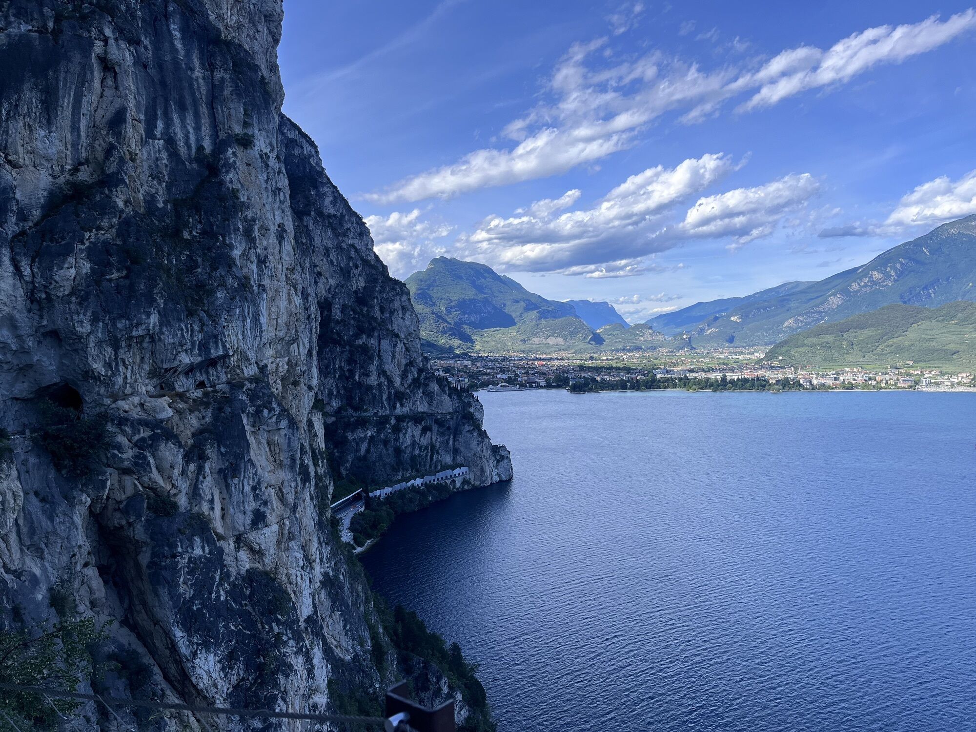
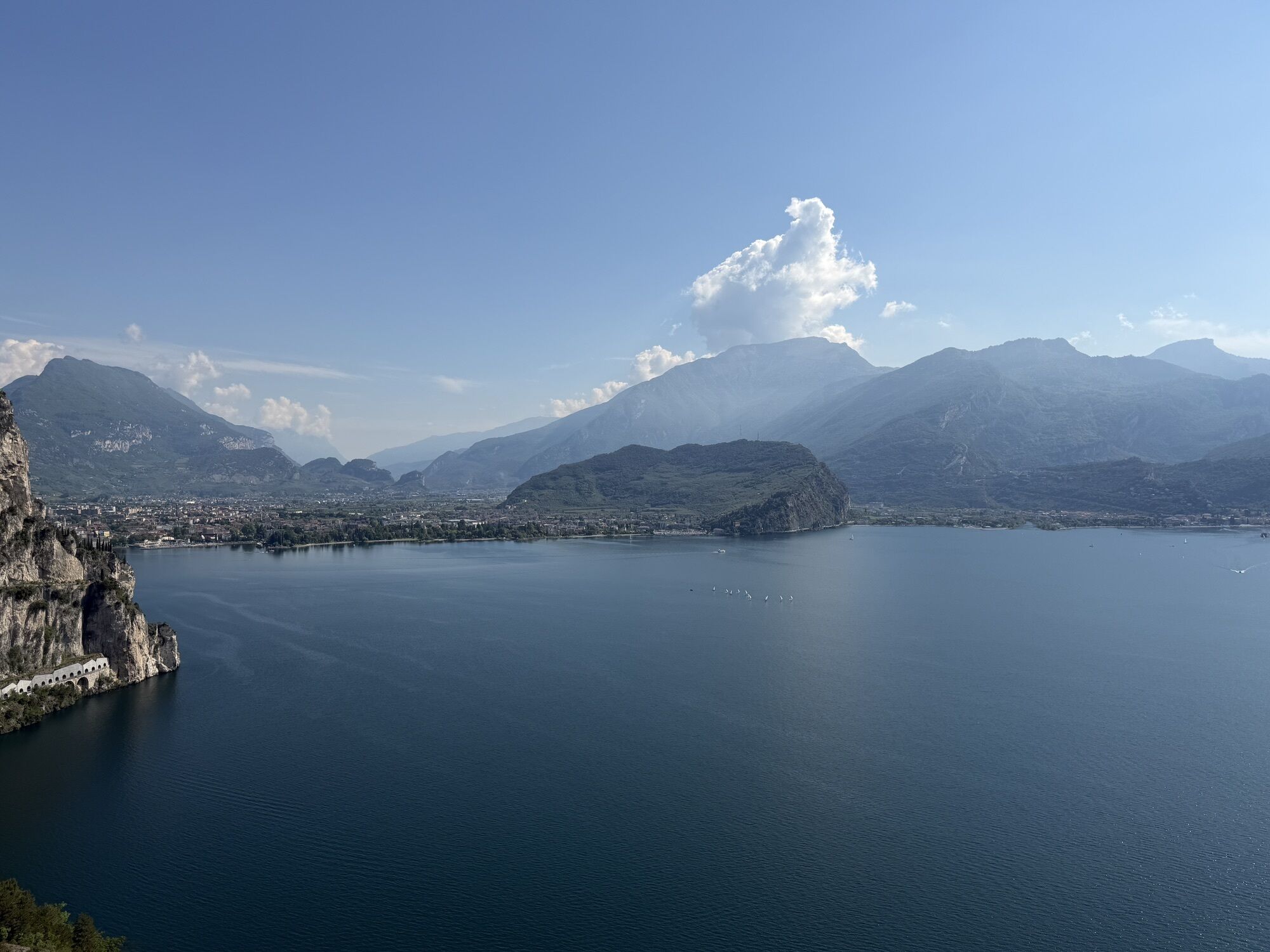
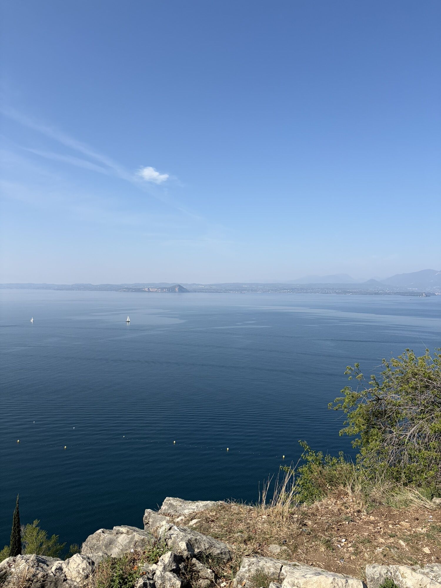
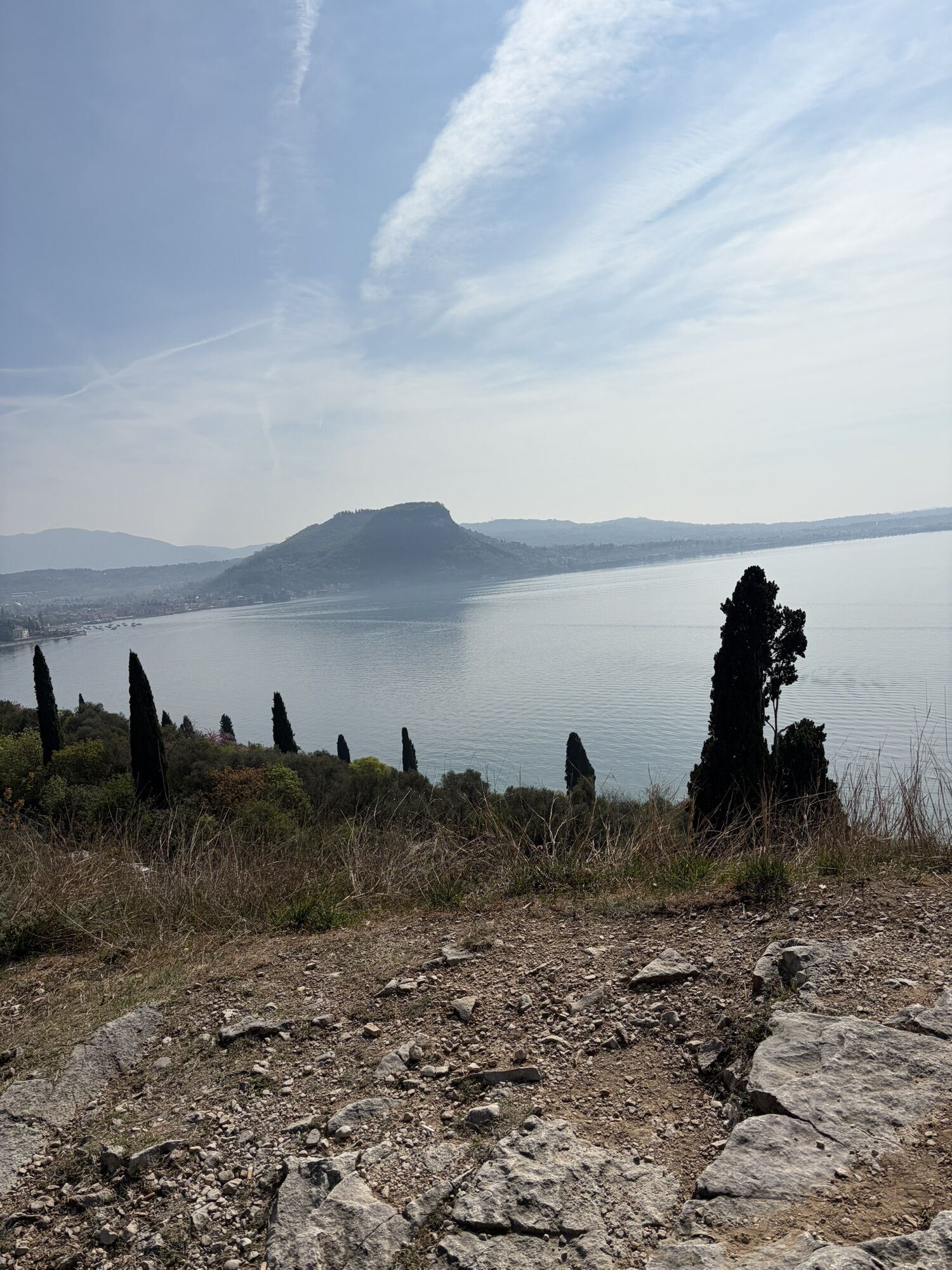
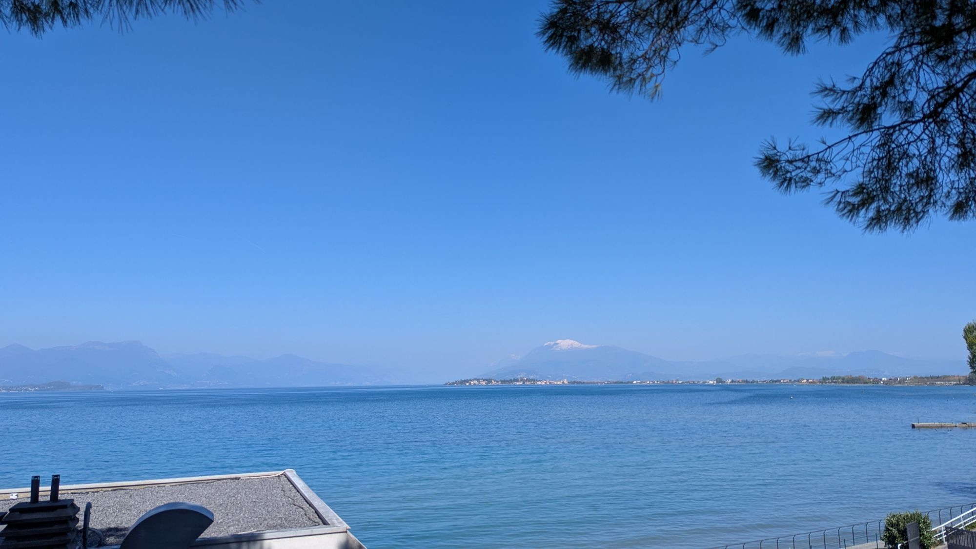
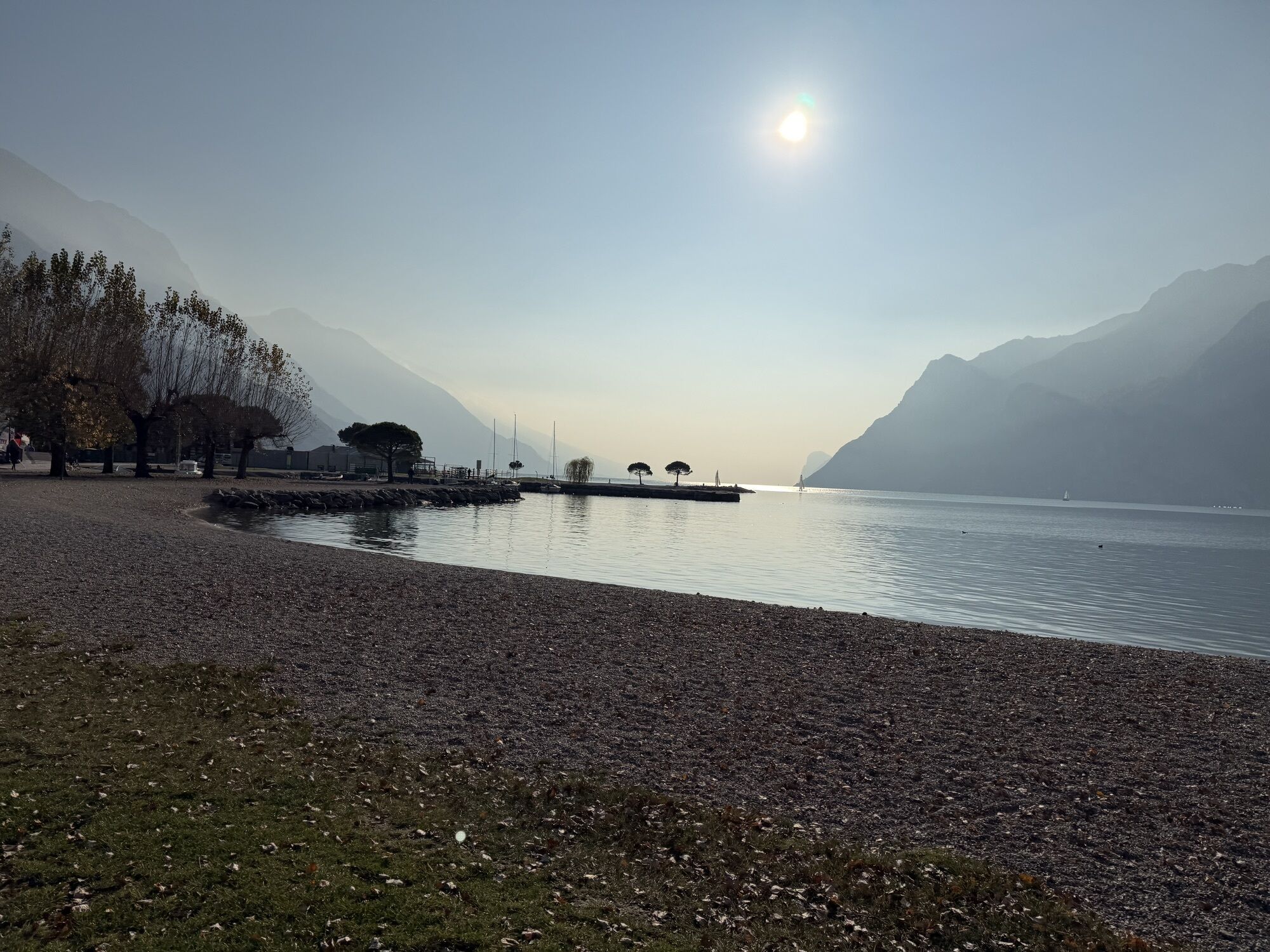
Another "classic" for all the fans of the Upper Garda area who want to make the most of the mild climate of the lakeside area in wintertime. This route enables you to circumnavigate the largest lake in...

Opis
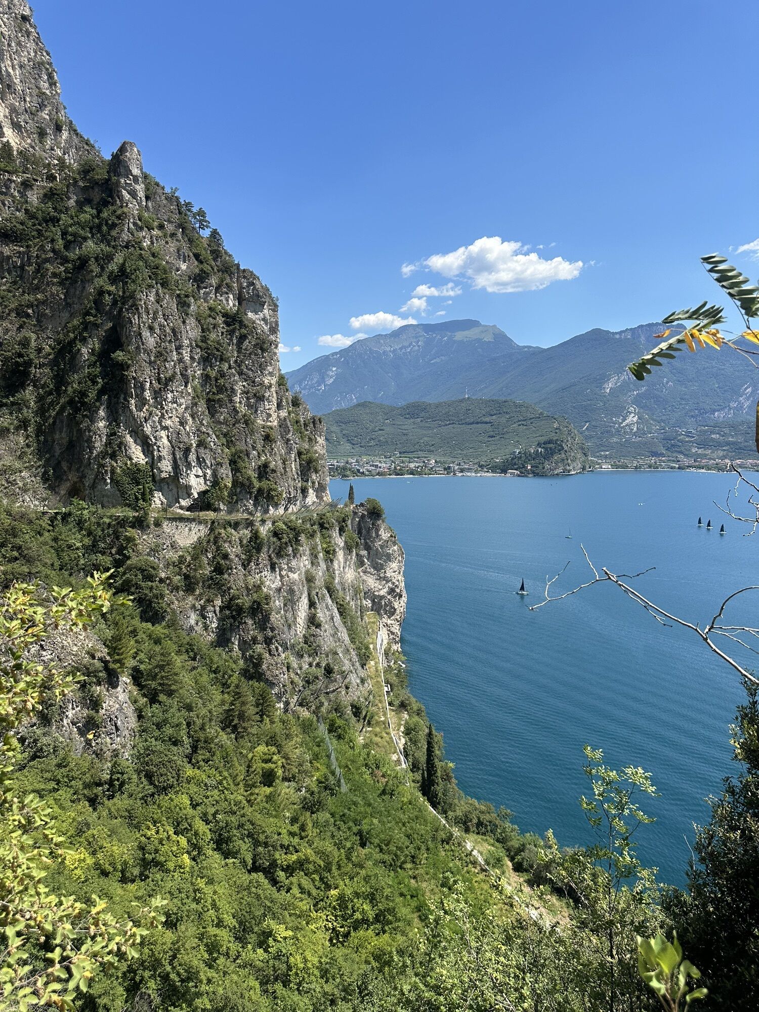
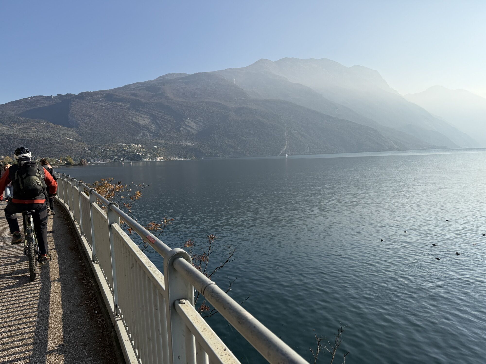
Another "classic" for all the fans of the Upper Garda area who want to make the most of the mild climate of the lakeside area in wintertime. This route enables you to circumnavigate the largest lake in Europe, and to discover all the aspects of its beauty. Given the enormity of the lake, the distance is quite considerable, making this itinerary unsuitable for untrained cyclists.

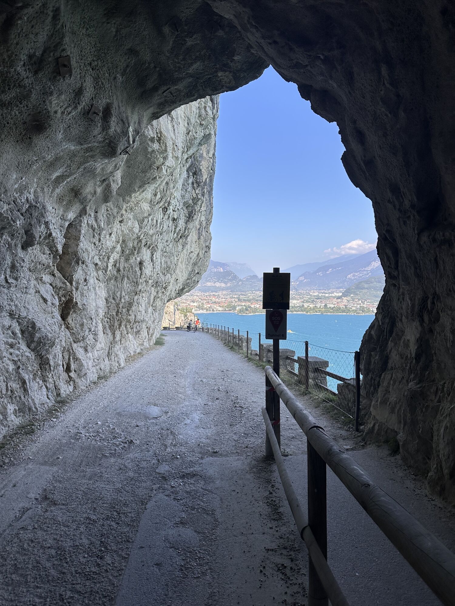
From a technical standpoint, the route does not pose any particular problems. However, it is very hilly. It passes through various tunnels, some of which are very long, especially on the return journey. The use of lights and a high-visibility jacket are recommended. The loop can be cycled in both directions; however, we recommend departing in the morning when the Paler is blowing southwards, as this helps us along.

Please note: Roads around Lake Garda are heavily congested, especially from April to October and on weekends. We therefore recommend avoiding a complete tour of Lake Garda by road during these periods.

Pot
Santo Stefano
(86 m)
Kraj čaščenja
17.6 km
San Giovanni Battista
(81 m)
Kraj čaščenja
25.8 km
Chiesa dei Santi Pietro e Paolo
(67 m)
Kraj čaščenja
38.4 km
Chinesa di Santa Maria di Lugana
(66 m)
Kraj čaščenja
69.4 km
Salò
(71 m)
Mesto
96.2 km
Chiesa Evangelica
(84 m)
Kraj čaščenja
100.7 km
Chiesa di San Rocco
(88 m)
Kraj čaščenja
132.9 km
Pot
Zemljevid
Lake Garda Tour (clockwise)
težko
Cestno kolo
142.70 km
Riva del Garda
(66 m)
Mesto
0.0 km
Prà de la Fera
(67 m)
Koridor/teren
3.8 km
Torbole
(66 m)
Vas
3.8 km
Torbole
(65 m)
Pristanišče za trajekte
4.3 km
Sas dei bimbi
(67 m)
Koridor/teren
4.3 km
Valmarsa
(97 m)
Koridor/teren
6.9 km
Tempesta
(89 m)
Poravnava
7.6 km
Table and two chairs
(75 m)
Miza za piknik
10.8 km
Baitone Alpino
(81 m)
Restavracija
11.3 km
Trattoria La Vela
(74 m)
Restavracija
12.9 km
Hotel Ristorante Pizzeria Oliveto
(75 m)
Restavracija
12.9 km
Navene
(80 m)
Vas
12.9 km
Campagnola
(71 m)
Restavracija
14.4 km
Ristorante Da Bianca
(70 m)
Restavracija
14.5 km
Campagnola
(88 m)
Koridor/teren
14.8 km
Malcesine
(85 m)
Vas
17.6 km
Santo Stefano
(86 m)
Kraj čaščenja
17.6 km
Lido Sopri
(72 m)
Restavracija
19.1 km
Val di Sogno
(70 m)
Koridor/teren
19.9 km
La Voglia
(69 m)
Restavracija
19.9 km
Pizzeria Aril
(69 m)
Restavracija
21.8 km
Stella
(75 m)
Restavracija
21.9 km
Al Vogaor
(68 m)
Restavracija
21.9 km
Cassone
(85 m)
Vas
22.0 km
Assenza
(65 m)
Pristanišče za trajekte
23.0 km
Assenza
(66 m)
Vas
23.1 km
Sommavilla
(130 m)
Vas
23.3 km
Borago
(126 m)
Poravnava
23.8 km
Porto
(73 m)
Vas
24.1 km
Boccino
(118 m)
Poravnava
24.8 km
Magugnano
(96 m)
Vas
25.1 km
Marniga
(82 m)
Vas
25.8 km
San Giovanni Battista
(81 m)
Kraj čaščenja
25.8 km
Belvedere
(85 m)
Restavracija
26.3 km
Castelletto
(86 m)
Vas
28.2 km
Pion
(112 m)
Poravnava
29.1 km
Chiesa di San Zeno de l'Oselet
(69 m)
Kraj čaščenja
29.6 km
Pasola
(93 m)
Poravnava
30.2 km
Pai
(66 m)
Pristanišče za trajekte
32.4 km
Pai di Sopra
(127 m)
Vas
32.4 km
Pai di Sotto
(67 m)
Vas
32.5 km
Chiesa dei Santi Pietro e Paolo
(67 m)
Kraj čaščenja
38.4 km
Torri del Benaco
(69 m)
Vas
38.5 km
Scaveàghe
(97 m)
Koridor/teren
43.7 km
Garda
(69 m)
Vas
45.6 km
Santa Maria Maggiore
(71 m)
Kraj čaščenja
46.1 km
Chiesa di San Pietro
(82 m)
Kraj čaščenja
47.0 km
Botanika
(71 m)
Restavracija
47.2 km
Sportsman-Ceola
(81 m)
Poravnava
47.4 km
Chiesa di San Severo
(74 m)
Kraj čaščenja
49.0 km
Bardolino
(71 m)
Vas
49.3 km
Santa Maria Maggiore
(70 m)
Kraj čaščenja
51.1 km
Cisano
(67 m)
Vas
51.2 km
Gralaoni-Pralesi
(85 m)
Poravnava
52.0 km
Lazise
(67 m)
Vas
53.8 km
Fossalta
(106 m)
Koridor/teren
57.5 km
Chiesa di San Giovanni Battista
(101 m)
Kraj čaščenja
58.8 km
Pacengo
(101 m)
Vas
58.8 km
Fuga da Atlantide
(84 m)
Igrišče
60.0 km
TransGardaland Express
(85 m)
Železniška postaja
60.2 km
Staffalo
(89 m)
Poravnava
60.4 km
Canale di Mezzo
(67 m)
Pogled
63.1 km
Peschiera del Garda
(68 m)
Mesto
63.1 km
San Benedetto di Lugana
(80 m)
Vas
65.4 km
Maraschina
(66 m)
Restavracija
66.7 km
Sirmione
(76 m)
Mesto
69.4 km
Chinesa di Santa Maria di Lugana
(66 m)
Kraj čaščenja
69.4 km
Lugana
(67 m)
Vas
69.6 km
Katya Resort
(71 m)
Soseska
71.9 km
Rivoltella del Garda
(85 m)
Poravnava
73.6 km
Chiesa di Santa Maria
(69 m)
Kraj čaščenja
76.2 km
Desenzano del Garda
(85 m)
Mesto
76.2 km
Desenzano
(65 m)
Pristanišče za trajekte
76.5 km
Coco Beach
(66 m)
Restavracija
80.0 km
Lido di Lonato
(68 m)
Koridor/teren
80.0 km
Francisco
(79 m)
Restavracija
81.3 km
Ketty
(94 m)
Restavracija
81.9 km
Monte Tapino
(129 m)
Poravnava
83.9 km
Trevisago
(124 m)
Koridor/teren
86.0 km
Trevisago di Sotto
(121 m)
Koridor/teren
86.1 km
Al Portec
(121 m)
Restavracija
86.7 km
Crociale
(120 m)
Poravnava
87.5 km
La Rotonda
(132 m)
Restavracija
89.8 km
Raffa
(150 m)
Poravnava
90.3 km
Coruja
(136 m)
Restavracija
90.9 km
Cunettone
(153 m)
Vas
91.5 km
Le Zette
(155 m)
Poravnava
92.8 km
Marsinicco
(138 m)
Koridor/teren
93.5 km
Salò
(71 m)
Mesto
96.2 km
Fossa
(70 m)
Koridor/teren
96.3 km
Rocchette di sopra
(127 m)
Koridor/teren
96.8 km
Argine di sopra
(137 m)
Poravnava
97.6 km
Argine di sotto
(67 m)
Poravnava
97.9 km
Barbarano
(76 m)
Vas
99.0 km
Morgnaga
(140 m)
Vas
99.4 km
Gardone Riviera
(79 m)
Vas
99.7 km
Chiesa Evangelica
(84 m)
Kraj čaščenja
100.7 km
Bornico
(70 m)
Poravnava
102.3 km
Toscolano Maderno
(73 m)
Vas
104.6 km
Maderno
(90 m)
Mesto
104.6 km
Chiesa parrocchiale Santi Pietro e Paolo
(76 m)
Kraj čaščenja
105.6 km
Toscolano
(77 m)
Vas
105.6 km
Pulciano
(258 m)
Vas
106.2 km
Cecina
(133 m)
Vas
107.0 km
Bogliaco
(70 m)
Poravnava
110.1 km
Chiesa dei Santi Martiri
(71 m)
Kraj čaščenja
110.2 km
Villa
(67 m)
Poravnava
111.3 km
Chiesa di San Tommaso
(98 m)
Kraj čaščenja
111.3 km
Centre Européen de Rencontre et de Ressourcement
(104 m)
Kraj čaščenja
111.3 km
Gargnano
(66 m)
Vas
112.0 km
Chiesa di San Giacomo
(70 m)
Kraj čaščenja
114.4 km
Muslone
(466 m)
Vas
115.9 km
La Terrazzina
(164 m)
Restavracija
118.3 km
Hotel Forbisicle
(78 m)
Restavracija
121.8 km
Campione del Garda
(72 m)
Vas
124.3 km
Tremosine sul Garda
(405 m)
Vas
126.6 km
Limone sul Garda
(98 m)
Vas
132.4 km
Chiesa di San Rocco
(88 m)
Kraj čaščenja
132.9 km
Cascata del Ponale
(108 m)
Slap
139.4 km
Antico Porto del Ponale
(64 m)
Koridor/teren
139.4 km
Riva del Garda
(66 m)
Mesto
141.9 km
Riva del Garda
(66 m)
Pristanišče za trajekte
142.0 km
Giardini di Porta orientale
(67 m)
Koridor/teren
142.6 km
Informacije o turneji

A fantastic loop that runs round the entire perimeter of Lake Garda. The distance, which exceeds 140 kilometres, makes this itinerary suitable for the fittest cyclists.

Tehnologija
4 / 6
Stanje
5 / 6
Pokrajina
6 / 6
Izkušnje
6 / 6
Najboljši letni čas
Jan
Feb
Mar
Apr
Maj
Jun
Jul
Avg
Sep
Okt
Nov
Dec
Avtor
Zagotavlja Garda Trentino
Logo
Skupna turneja
Zemljevid
Lake Garda Tour (clockwise)
težko
Cestno kolo
142.70 km
Napaka
Zgodila se je napaka. Prosimo, poskusite znova.
Zadnji spremljani danes
Informacije o poti
Pot
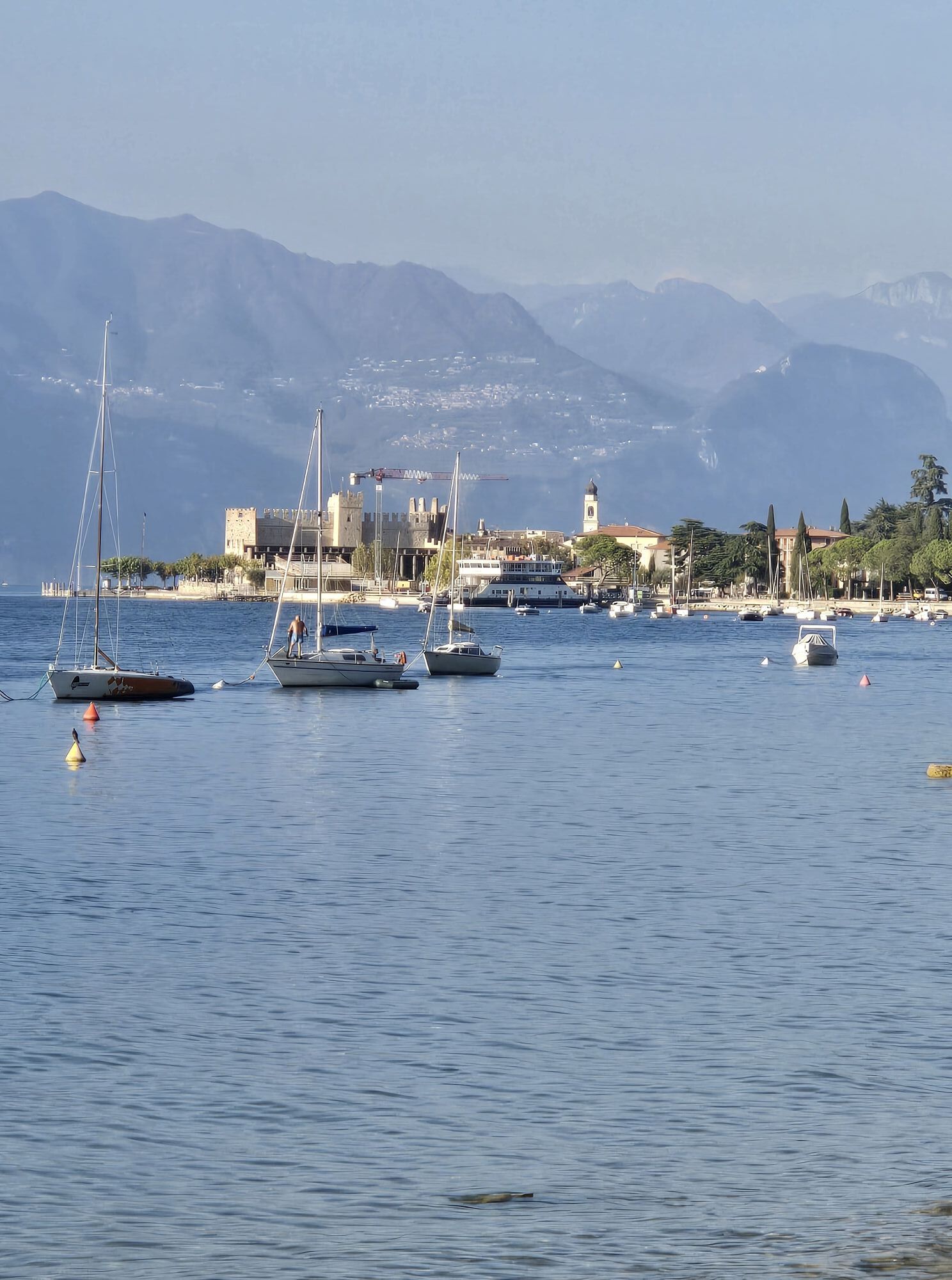
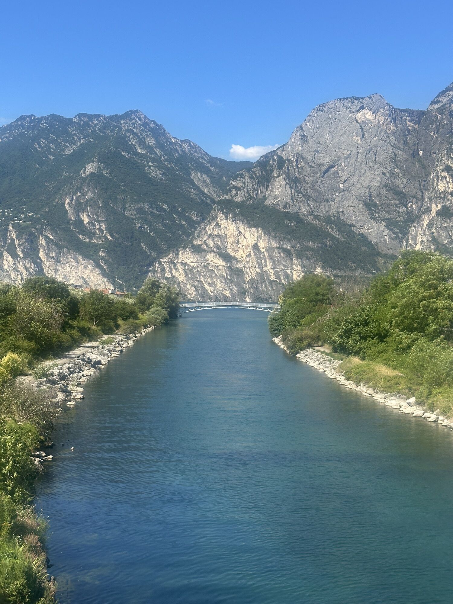
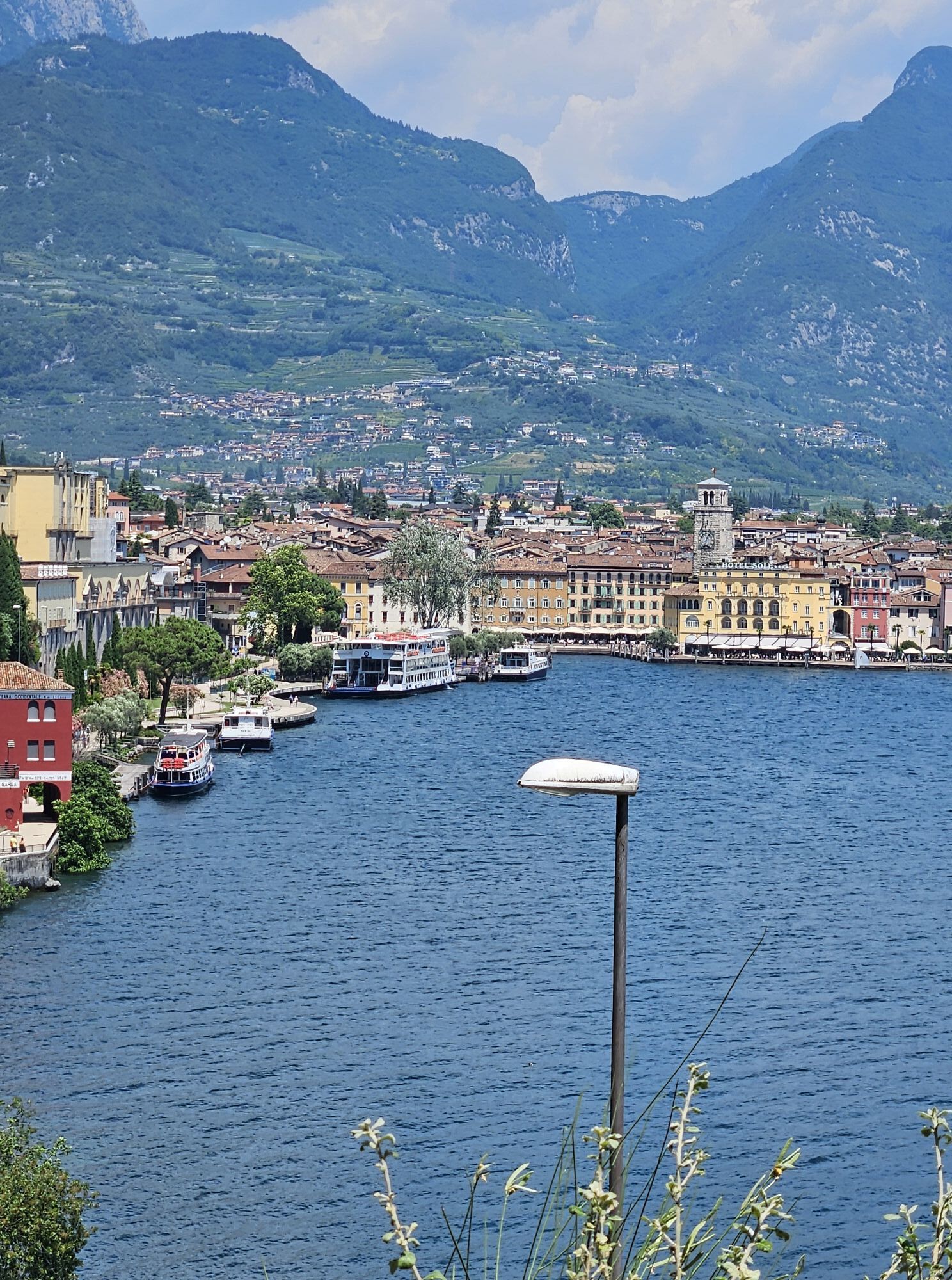
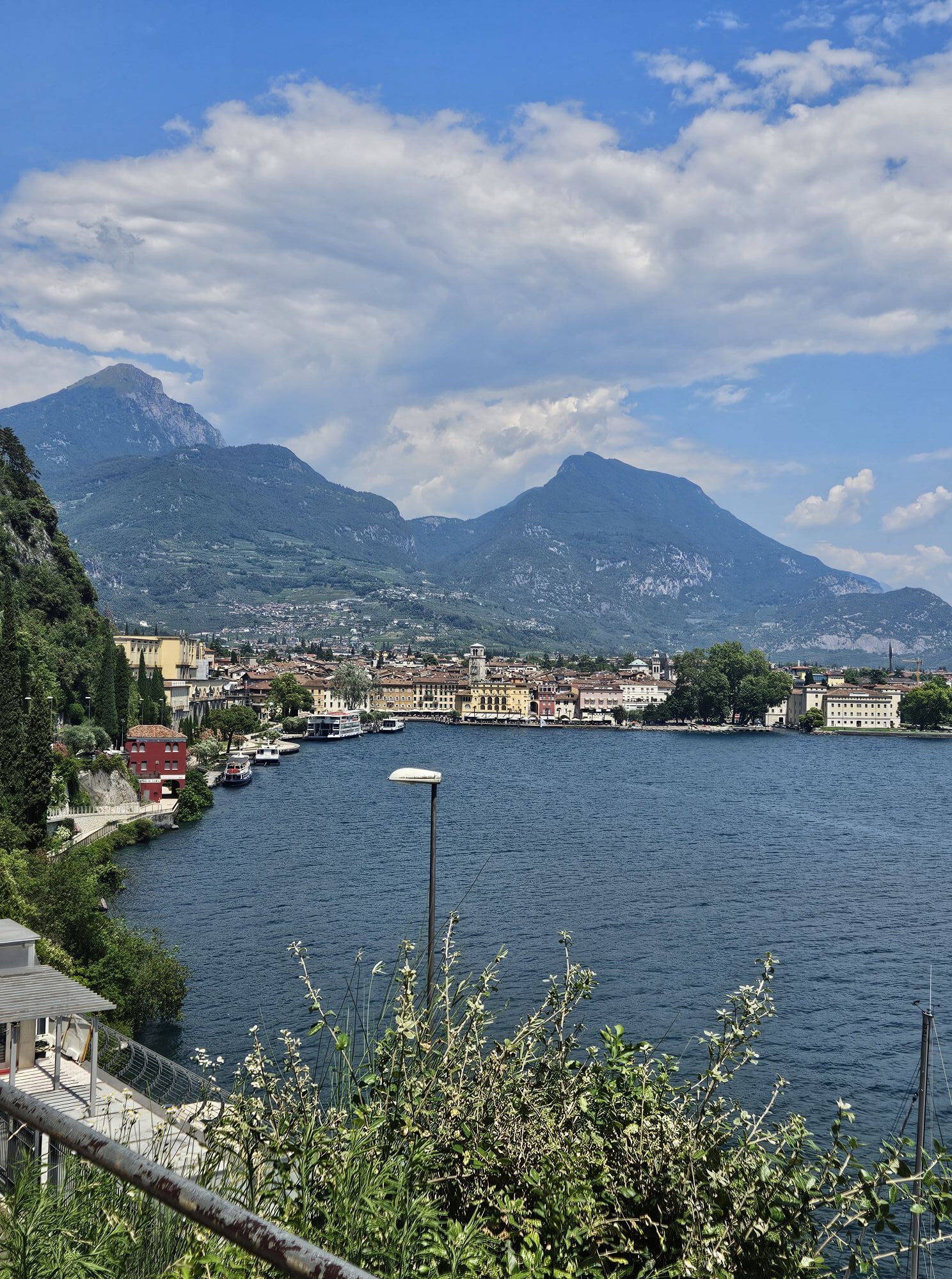
From Riva del Garda take the cycle path up to Torbole sul Garda, afterwards follow the “Gardesana Orientale (Eastern Gardesana)” road, which flanks the Lake Garda for 10 km,  leading for some stretches into tunnels. Passing from Trentino into the region Veneto you arrive in Malcesine. Carry on always flanking the lake, passing through the characteristic veronese villages of Brenzone, Castelletto, Torri del Benaco, Garda, Bardolino e Lazise. Here do the Pre-Alps end and the Po Valley start: for 40 km you will have to pay attention to the several roundabouts that follow one another.

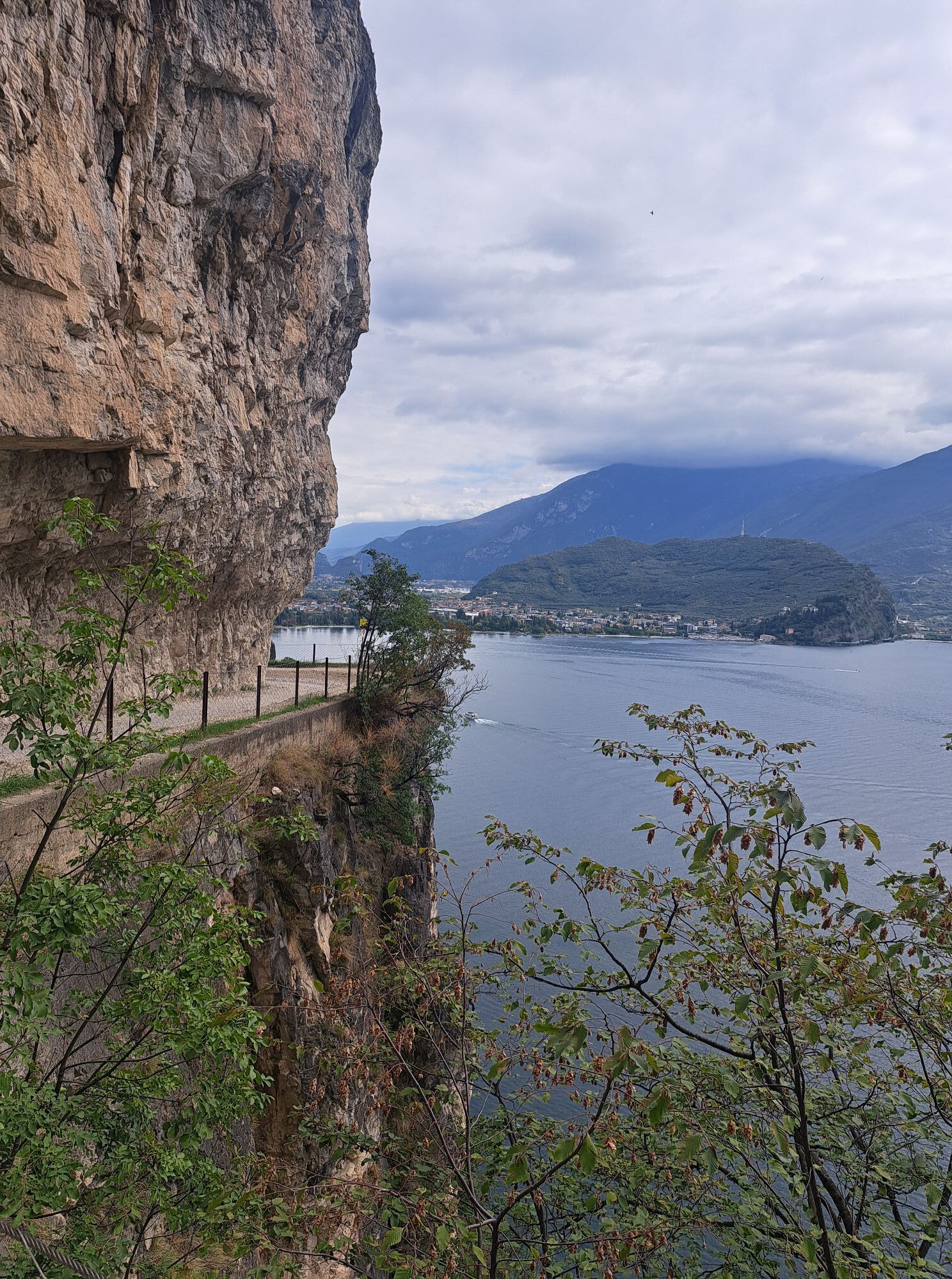
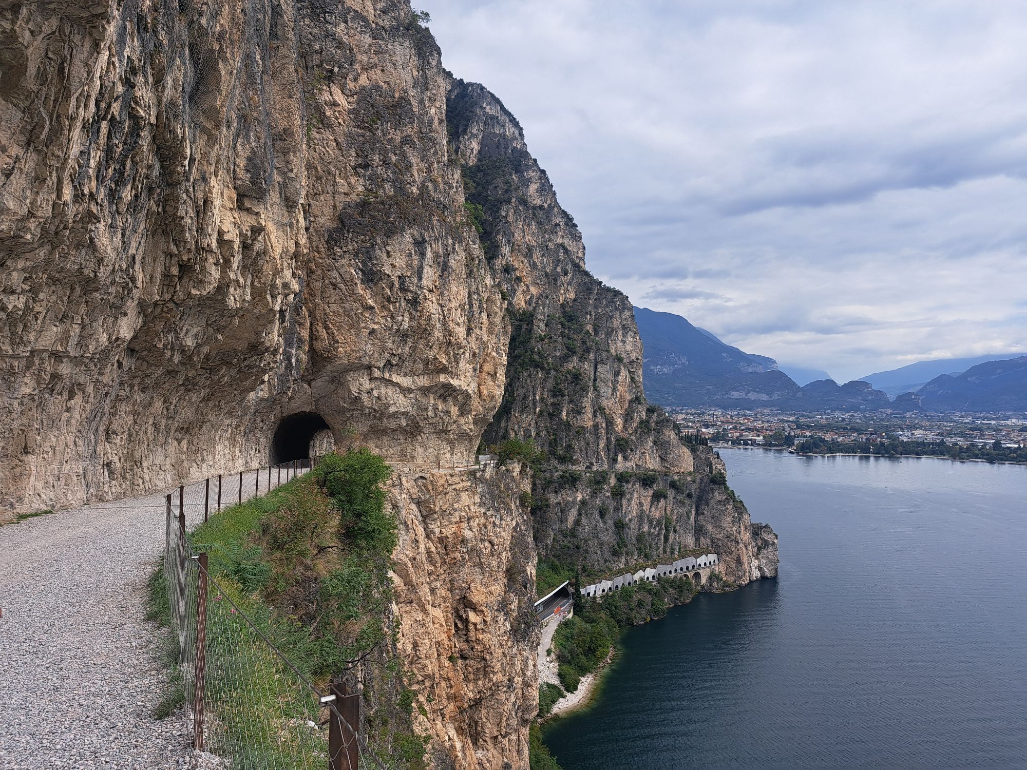
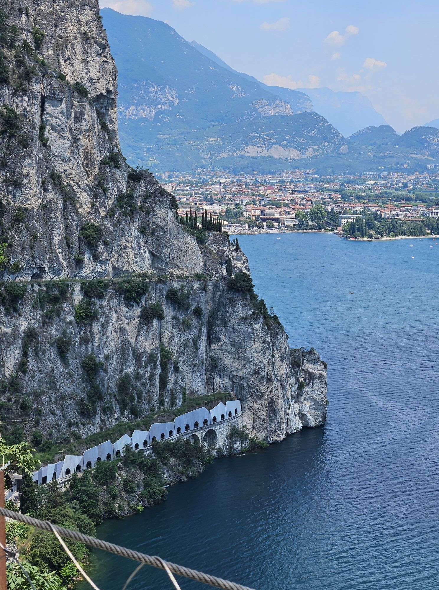
Continue past Peschiera and proceed to Desenzano entering the province of Brescia. Pass through the centre of town flanking the lake and continue past Padenghe, Moniga and Cunettone. At this roundabout turn right in the direction of Salò. After a panoramic downhill on the gulf, you'll get back onshore of the lake. Pass through Salò and take the “Gardesana Occidentale (Western Gardesana)”. Continue past Gardone and Toscolano Maderno and carry on up to Gargnano. Here starts an uphill road perched over the lake where the first tunnels characterizing the last stretch of the tour start. After a fast downhill you get back flanking Lake Garda passing the crossroad of Campione del Garda, pass through Limone sul Garda up to the starting point of Riva del Garda.

All loop itineraries can be done in both ways.

Oprema
Riding your bike requires specific clothing and equipment, even for relatively short and easy trips. It is always better to be prepared… e.g. for bad weather or a drop your energy levels. The unexpected things also make up a part of the fun!

Do not compare a road bike with a mountain bike. They are very different, especially in technical terms, and facing a hill with a road bike could be much more difficult than facing the same hill with a MTB. Therefore, remember to throughly evaluate the type of route you plan to do and the locations you plan to cross. Do not forget to consider the current season. Has it been raining? Attention: the paint of the crosswalk could be very slick.

What do I need to bring on my bike tour?

Bike helmet Bike gloves Bike glasses Waterproof/Windproof jacket Headlights and rearlights Reflecting suspenders Plenty of snacks (for example, dried fruit or energy bars) Water Bottle Bike repair kit (tire levers, mini bike pump, bike tube)

It is always advised to let someone know where you plan to go and how long you expect to be.

Emergency telephone number 112.

Varnostna navodila
We remind that headlights and rearlights as well as the use of reflecting suspenders are obligatory in tunnels, even considering that most of these are illuminated.

Give your bike a regular checkup, especially if you've had it for years.

Be seen: you must wear a high vis jacket (or sash) in tunnels and on country roads after sunset.

Always wear your helmet.

Make sure your front and rear lights are working.

Put out your arm to give advance warning of your intention to change position and before you do anything, check there are no vehicles coming up behind you.

Don't use headphones or your mobile phone handsfree kit: you need all your concentration on the road!

Obey the road signs: stop at traffic lights and don't ride on the wrong side of the road.

If you are cycling in a group, always go in single file.

You've got a bell: use it to let pedestrians know you're there. Don't ride on footpaths. If you have to then get off and push your bike.

If there are cycle paths use them. It's your safety that's at stake and the rules of the road say you must.

Informacije o prihodu
Prihod

Getting to Lake Garda – Garda Trentino: www.gardatrentino.it

Javni prevoz

The towns in Garda Trentino - Riva del Garda, Torbole sul Garda, Nago and Arco – are connected by a number of urban and intercity bus lines which will take you to the starting point of the trail.

For up-to-the-minute information on timetables and routes: www.gardatrentino.it

You can also get to Riva del Garda and Torbole sul Garda by the public ferry service. For up-to-the-minute information on timetables and routes: www.gardatrentino.it

Parkirišče

Free parking near the former hospital (Via Rosmini).

Paid parking: Terme Romane (Viale Roma), Vecchia stazione (Largo Medaglie d’Oro), Ex-agraria (Via Lutti).

Dodatne informacije in nasveti
Stopnja težavnosti

4
Dodatne informacije
From epic climbs to fast descents, every detail matters. Ride worry-free with help from our road cycling specialists: rentals, mechanics and guides who speak your language – the language of smooth tarmac and two wheels.
Nasveti

These roads are often used by professional cyclists as training routes. While you’re pedalling, keep an eye on who you might meet along the way!


Pohodništvo in sledenje

Pohodništvo in sledenje

Pohodništvo in sledenje
Zaradi več kot 550.000 predlogov izletov, podrobnih zemljevidov in intuitivnega načrtovanja poti je aplikacija obvezna oprema za vse ljubitelje narave.
bergfex