







Pozza di Fassa - Tesero - Pampeago Pass - Ponte Nova - Costalunga/Carezza Pass - Pozza di Fassa
Stopnja težavnosti: 5

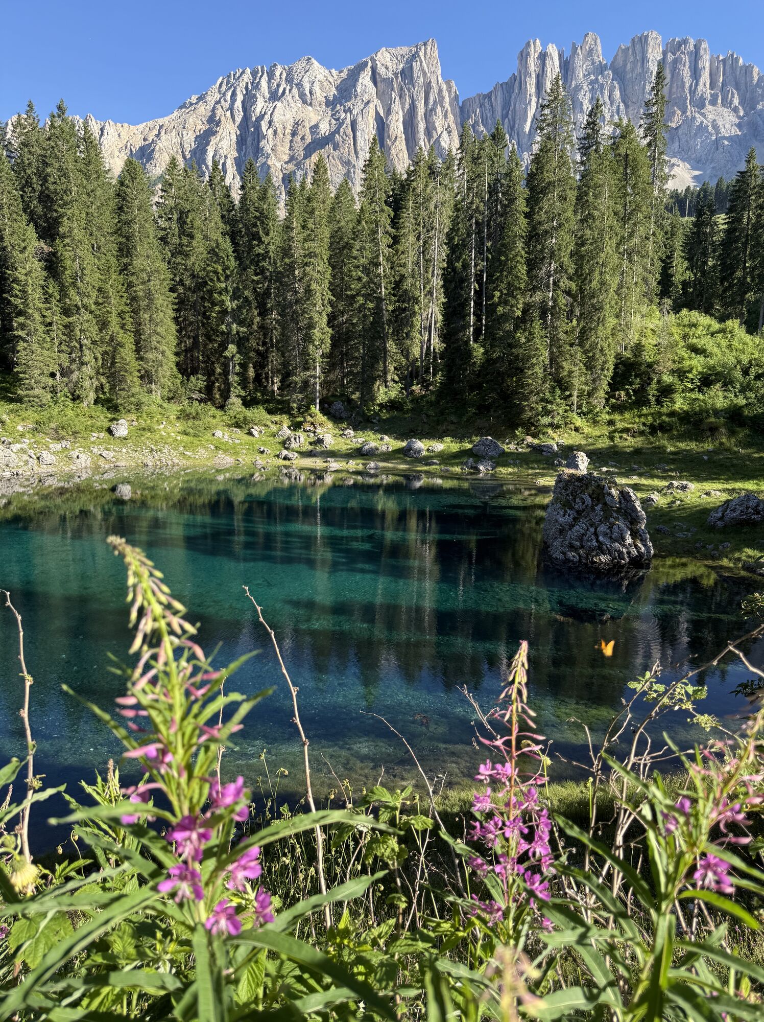
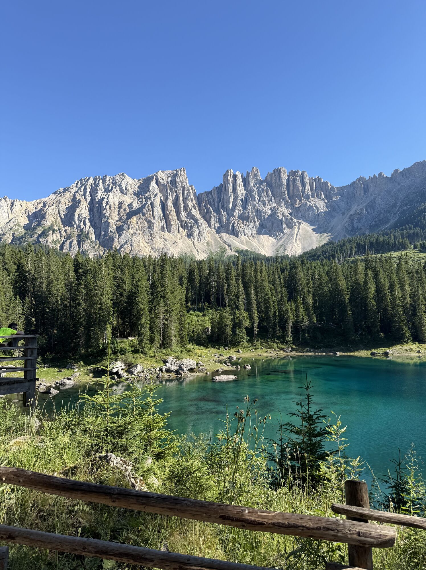
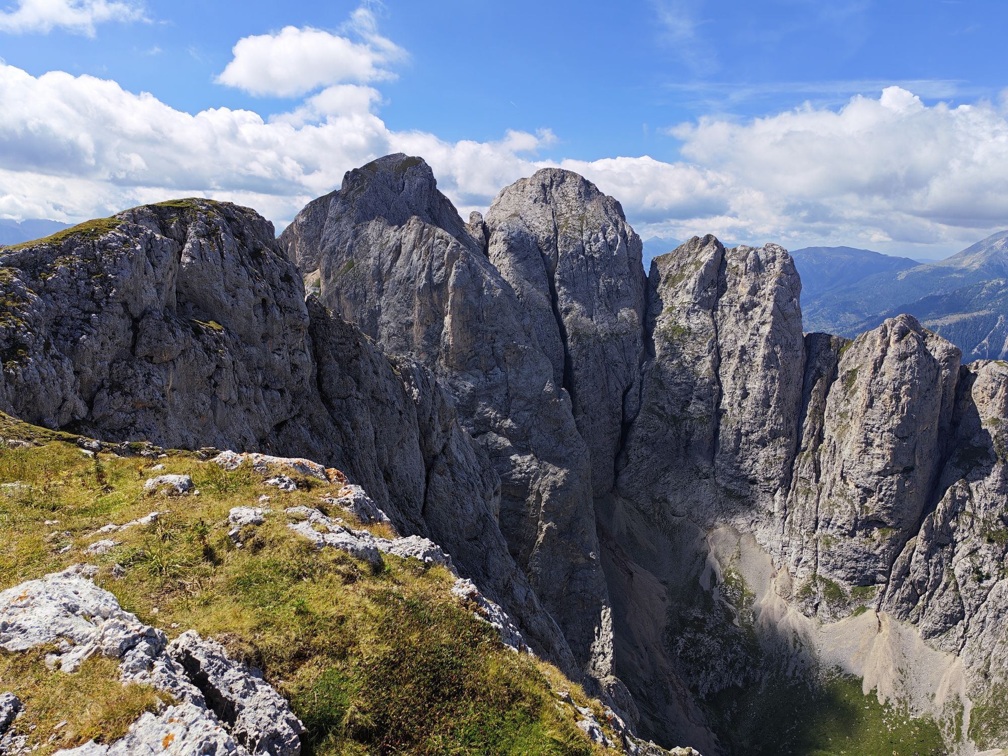
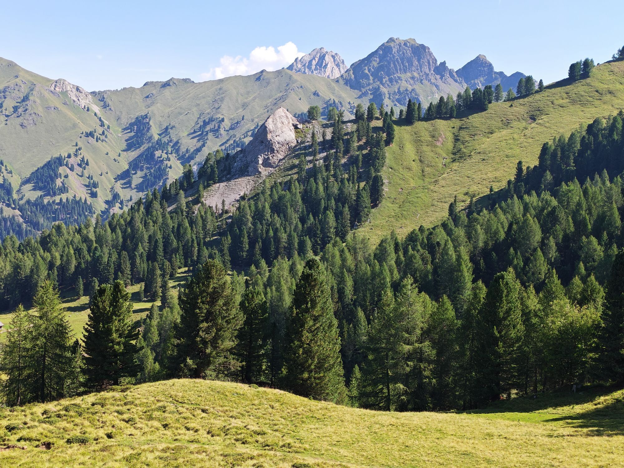
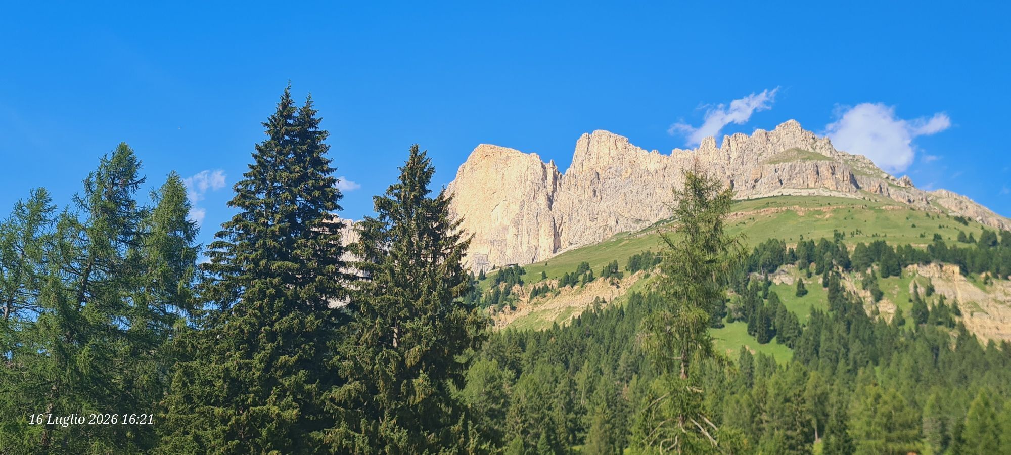
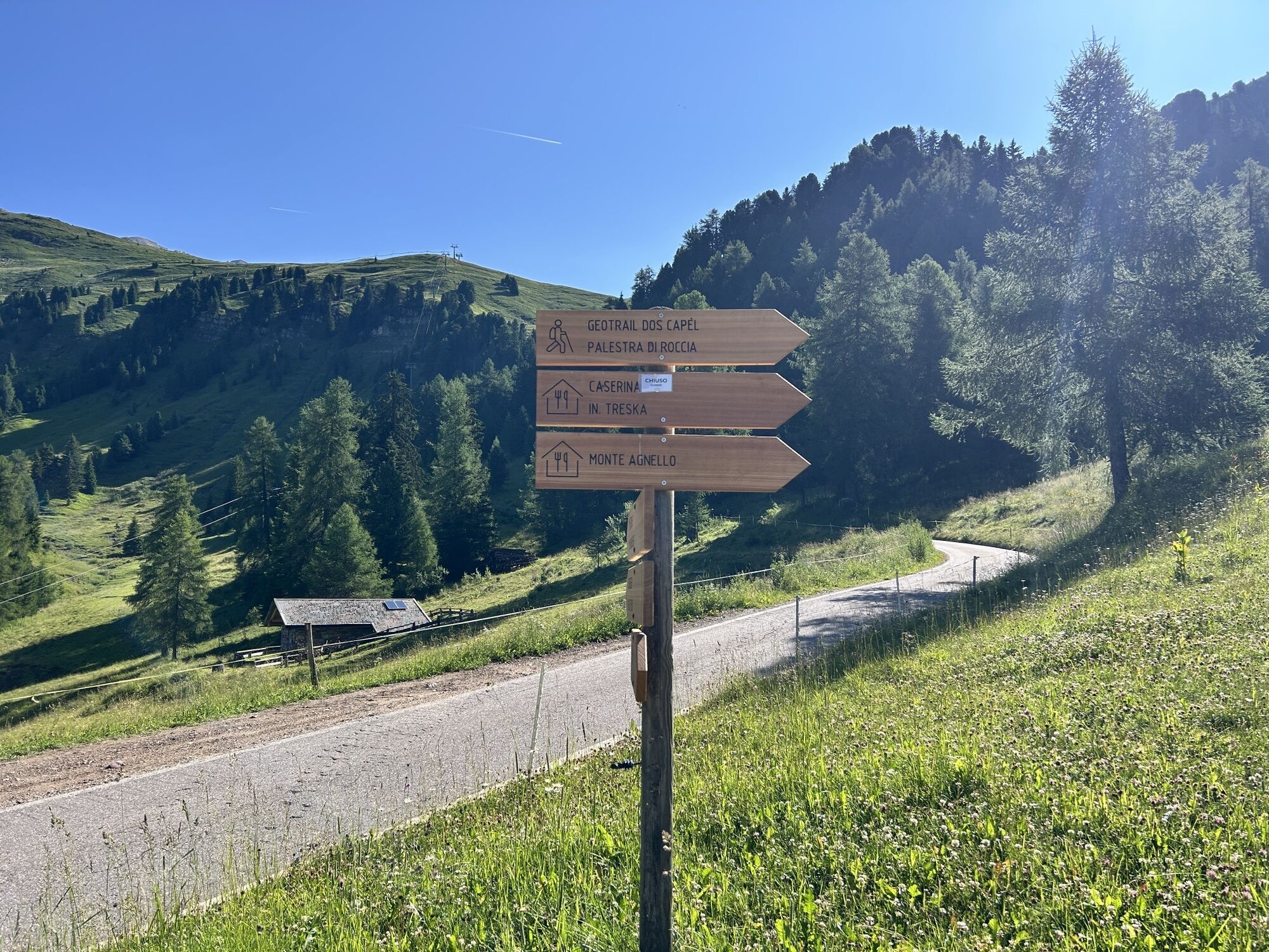
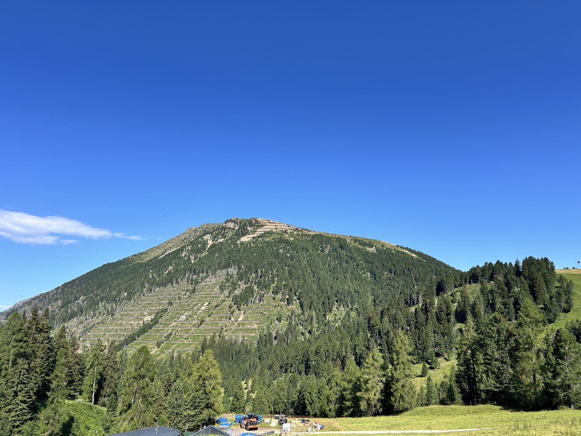
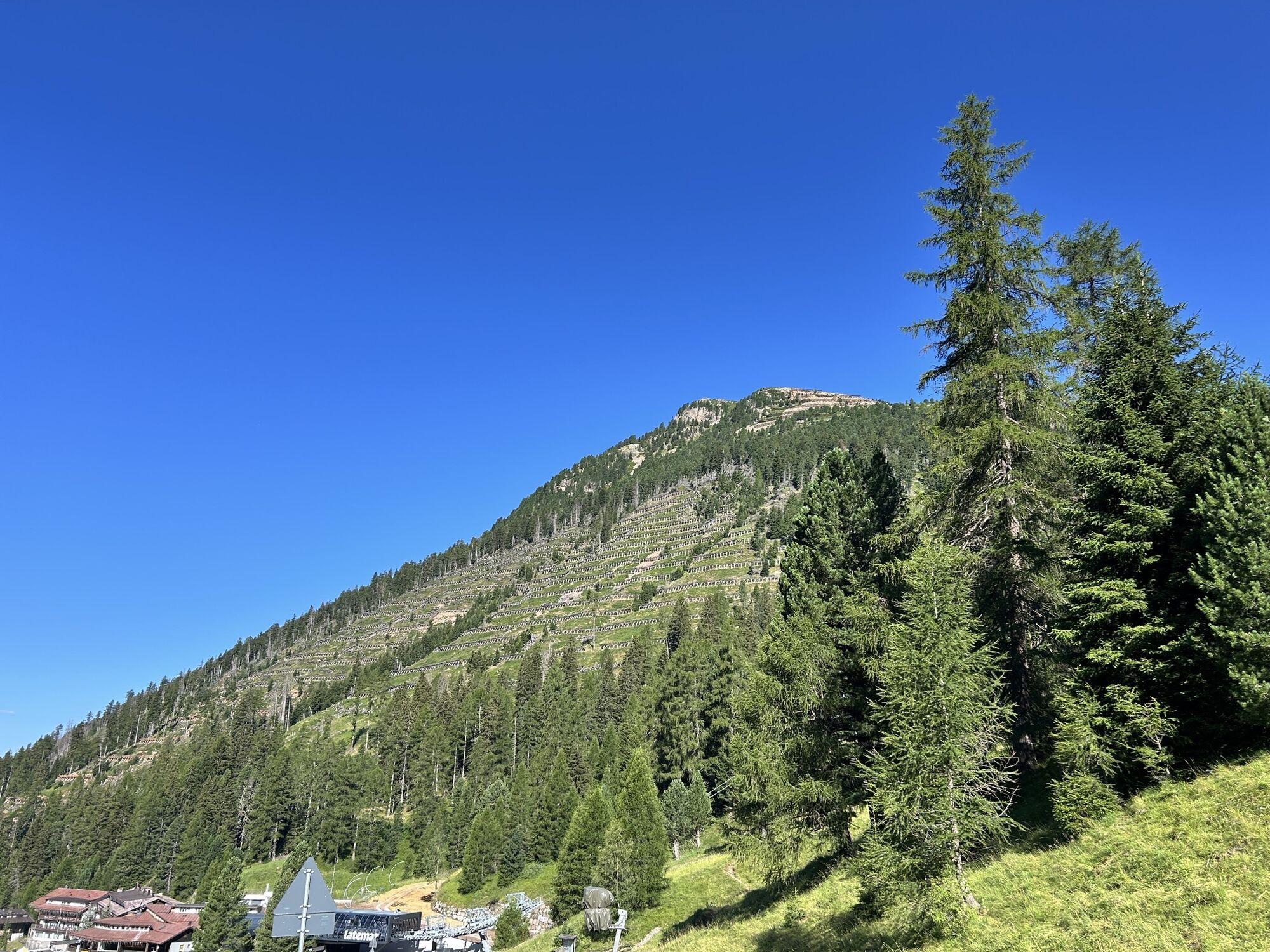
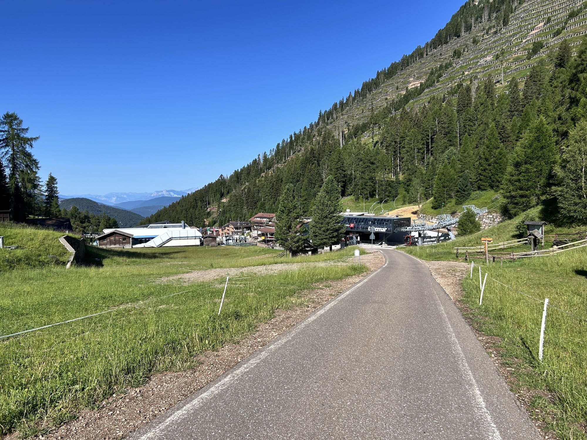
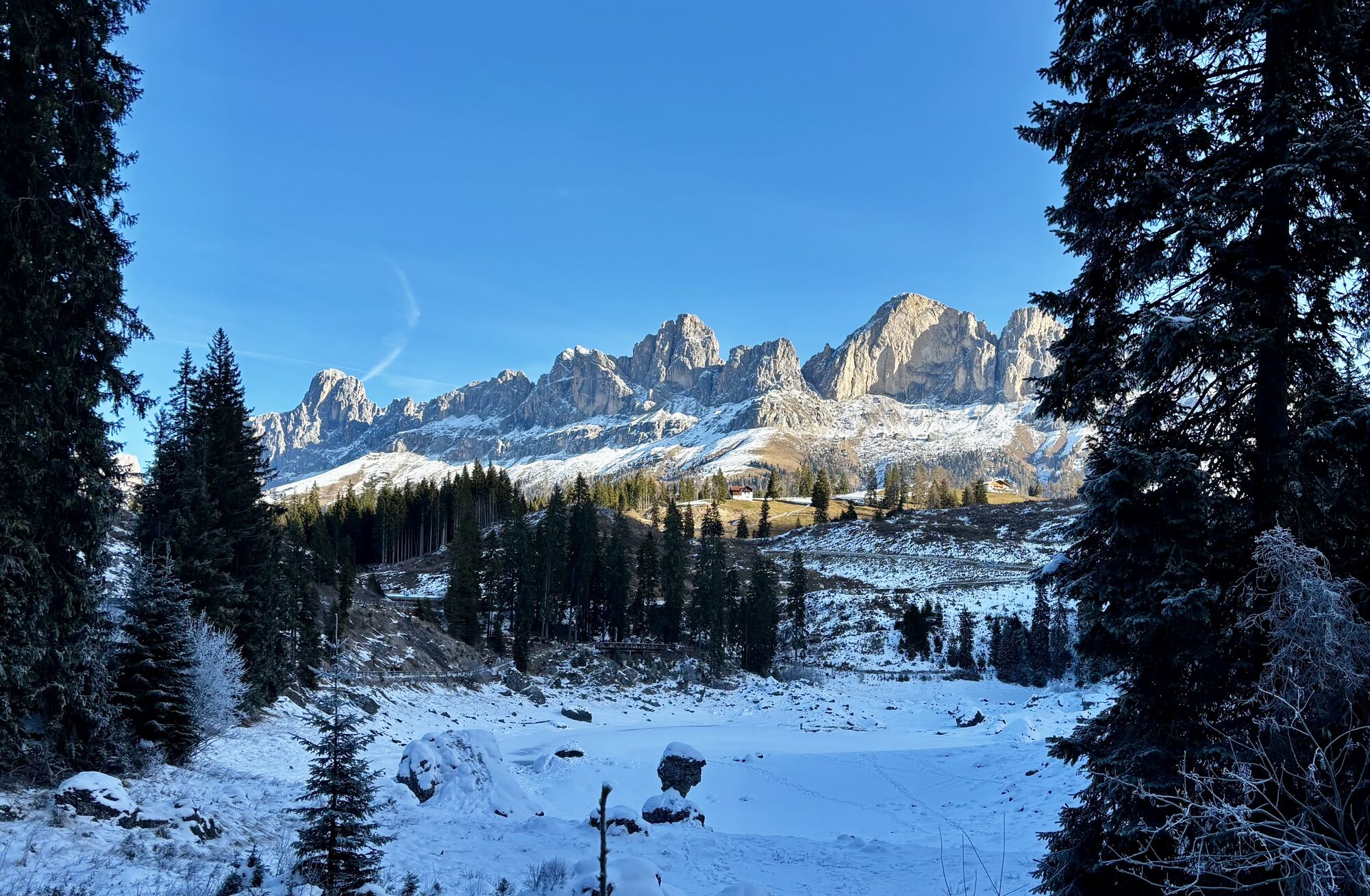
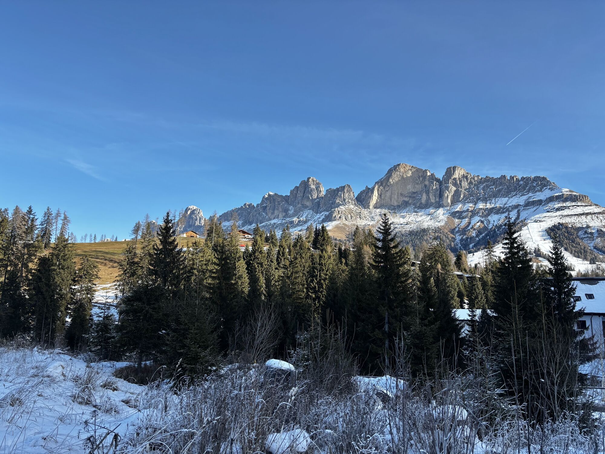
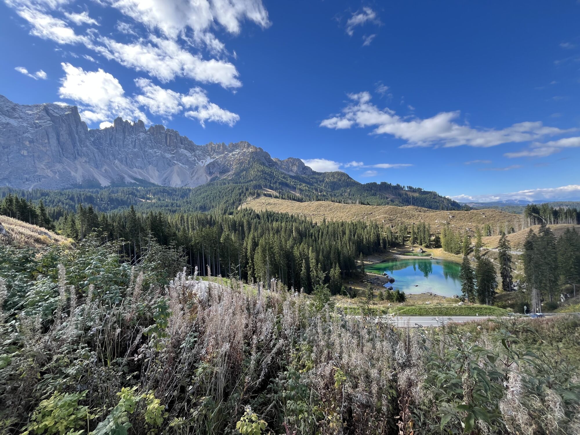
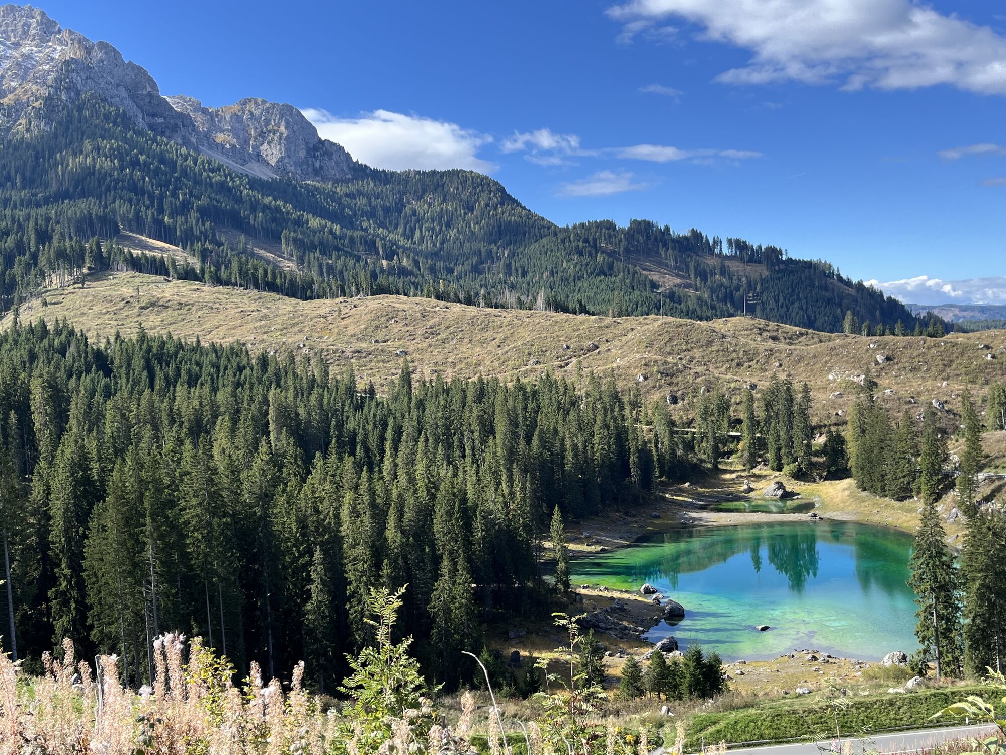
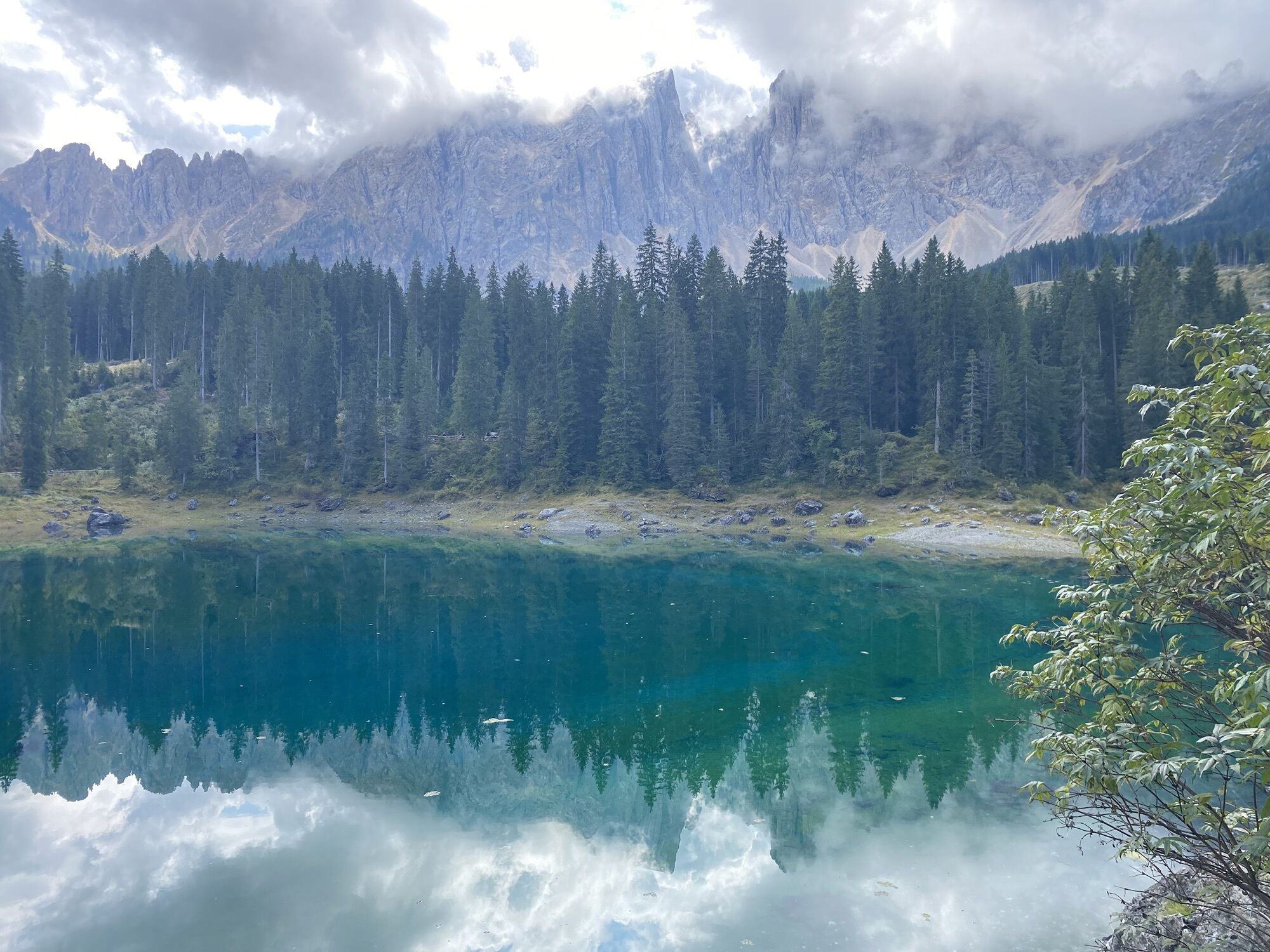
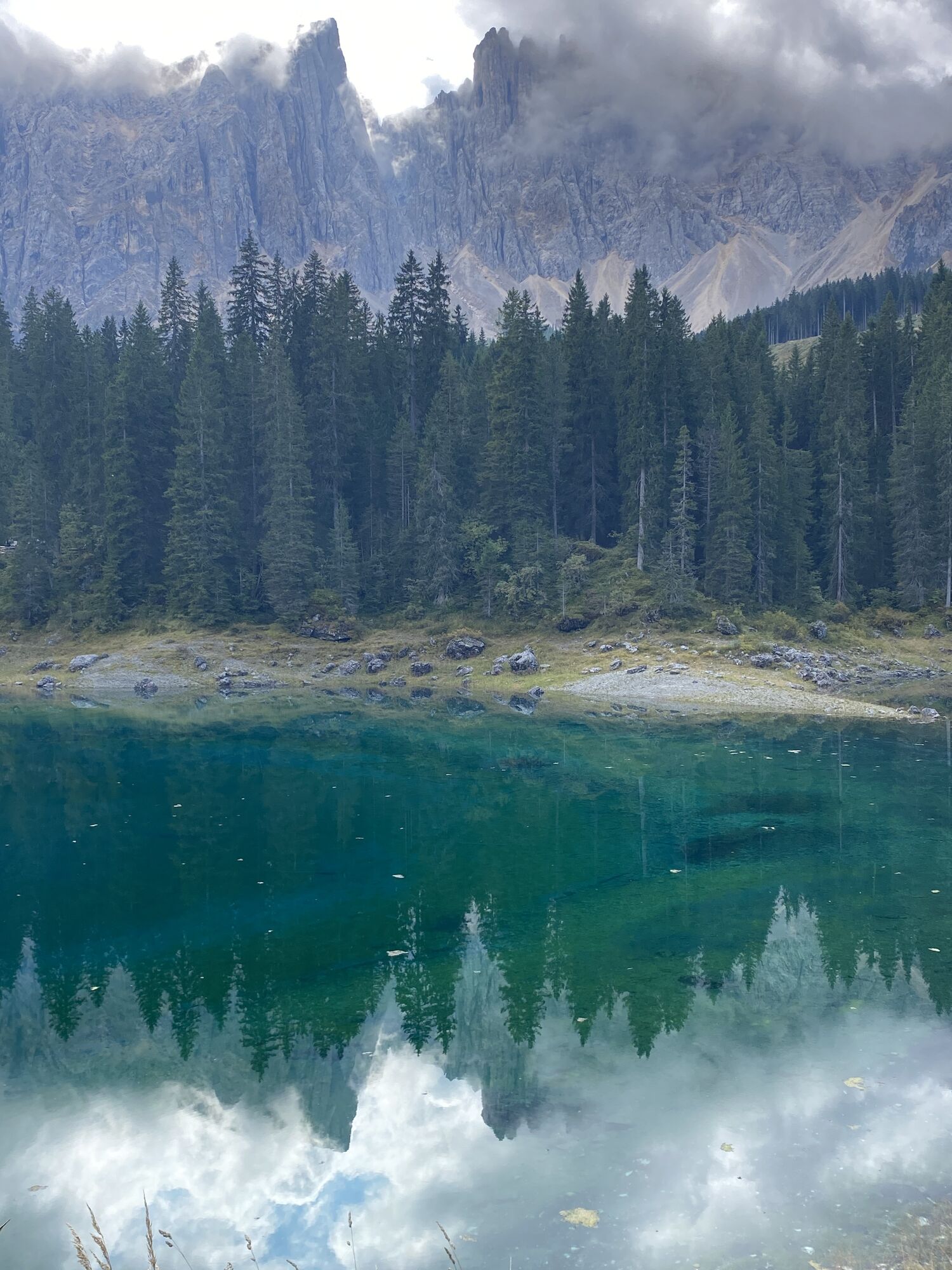
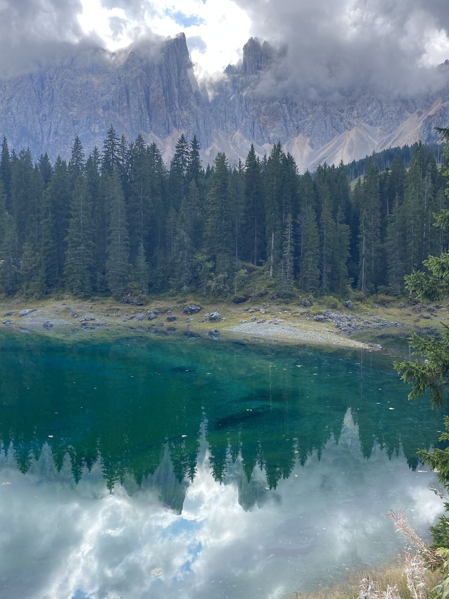
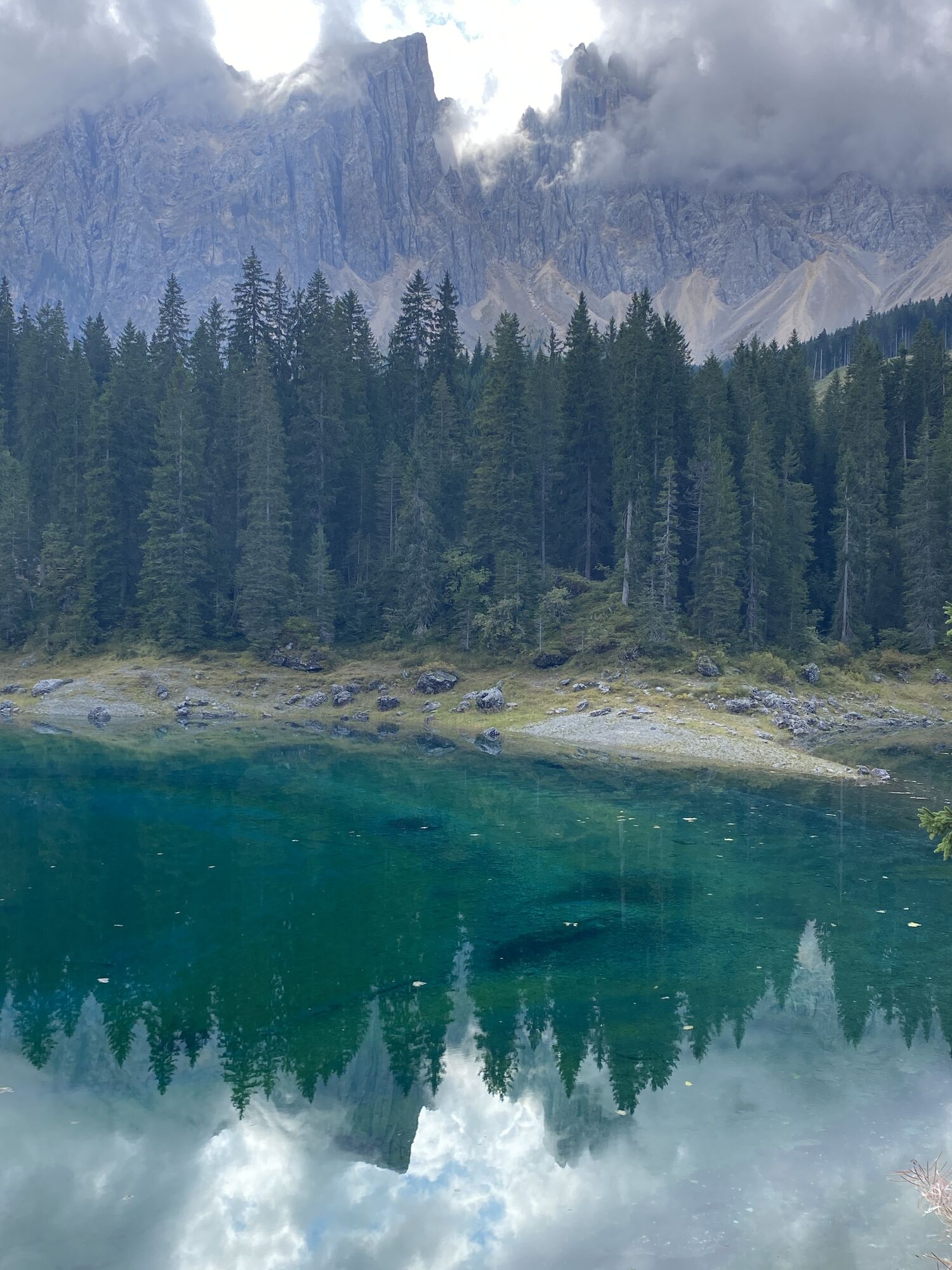
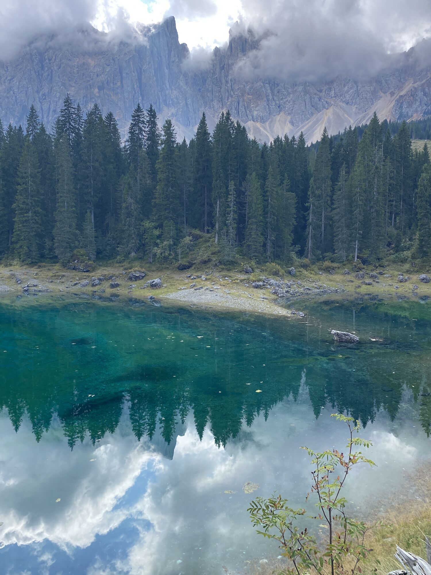
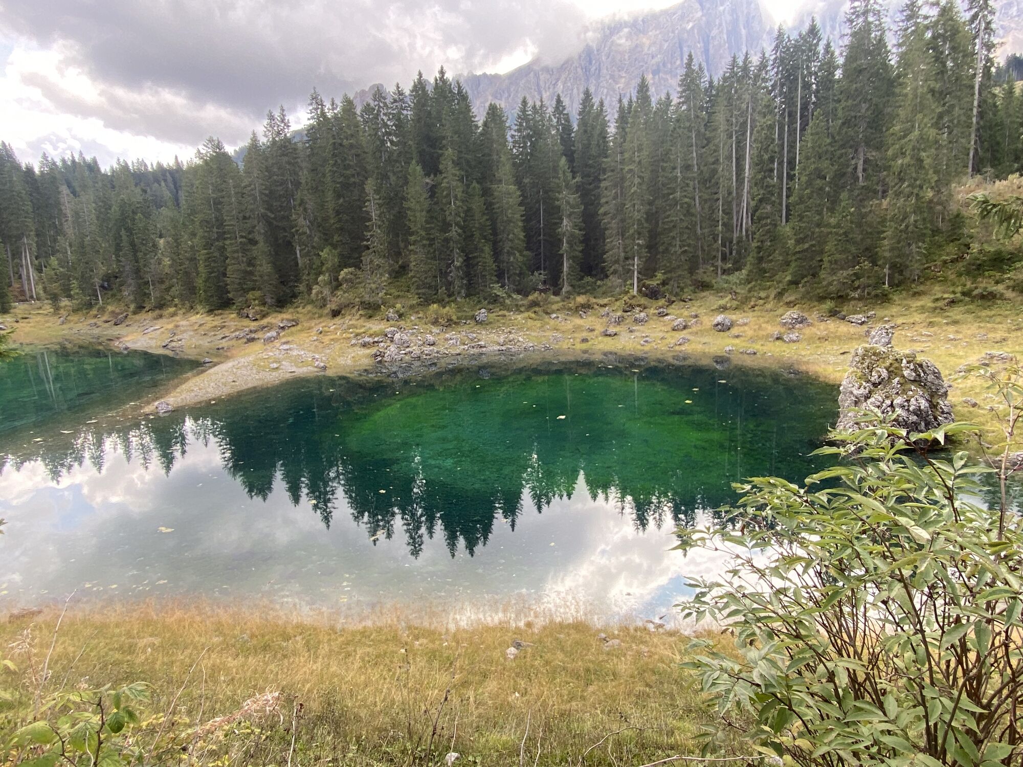
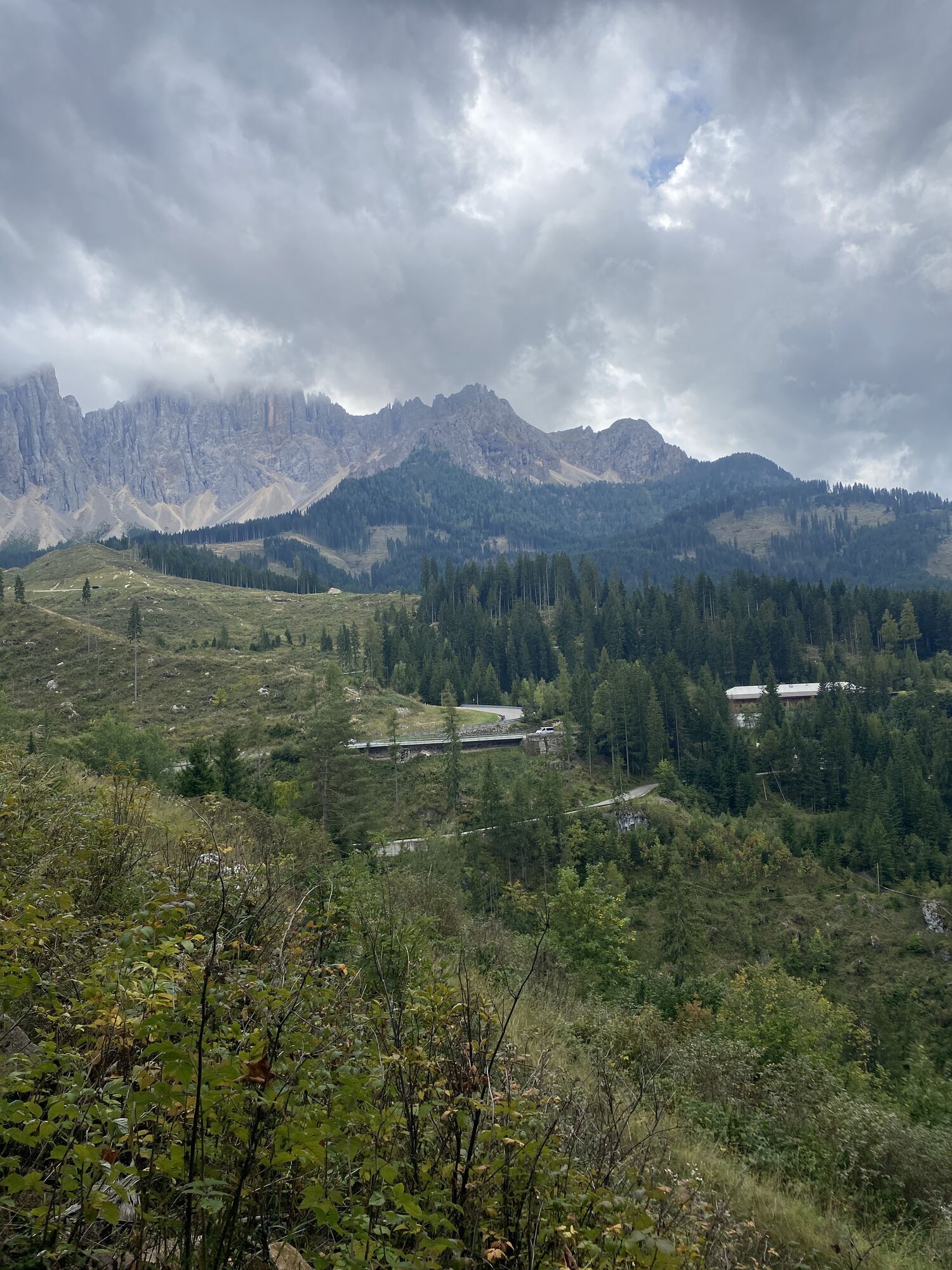
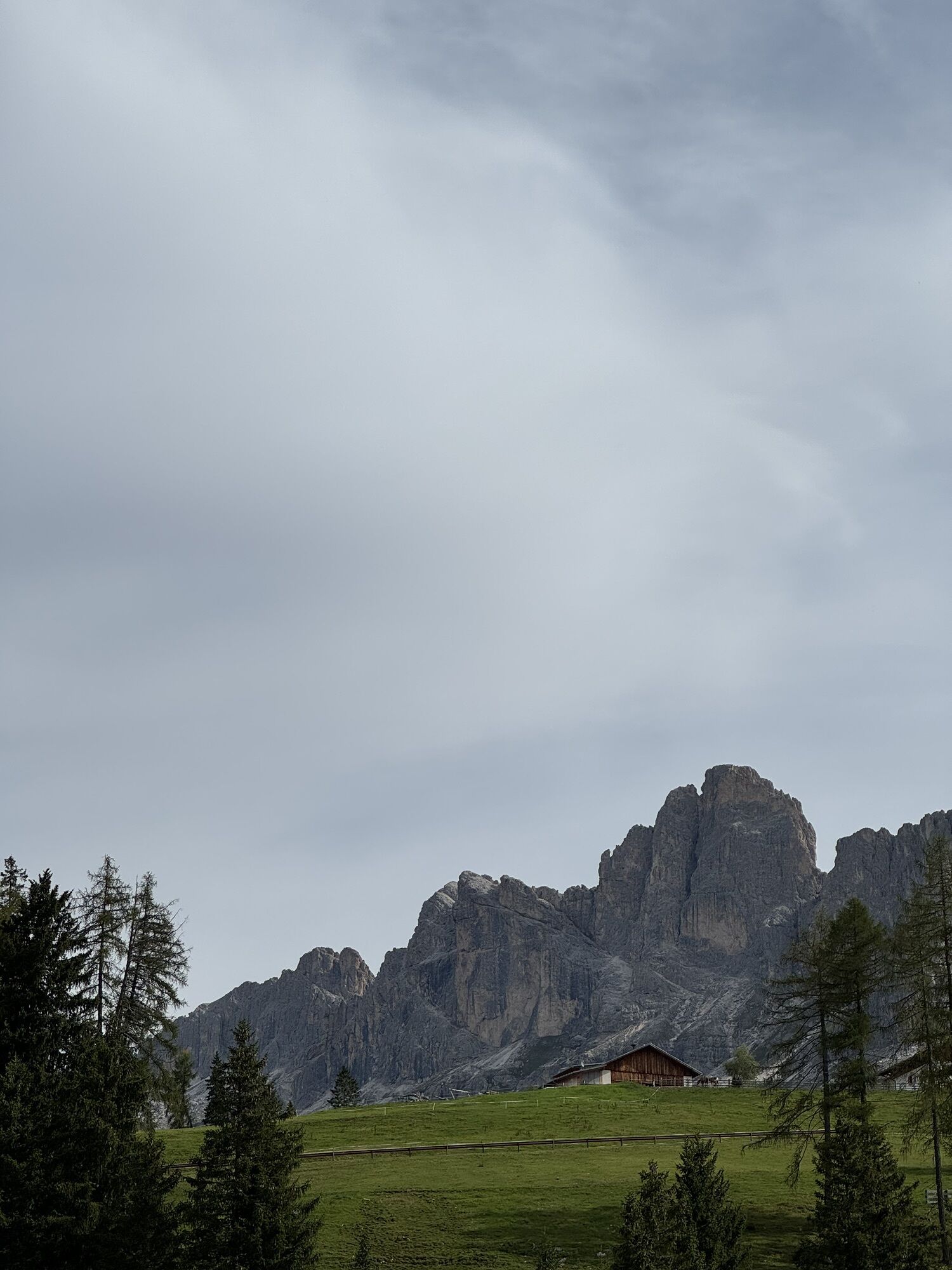
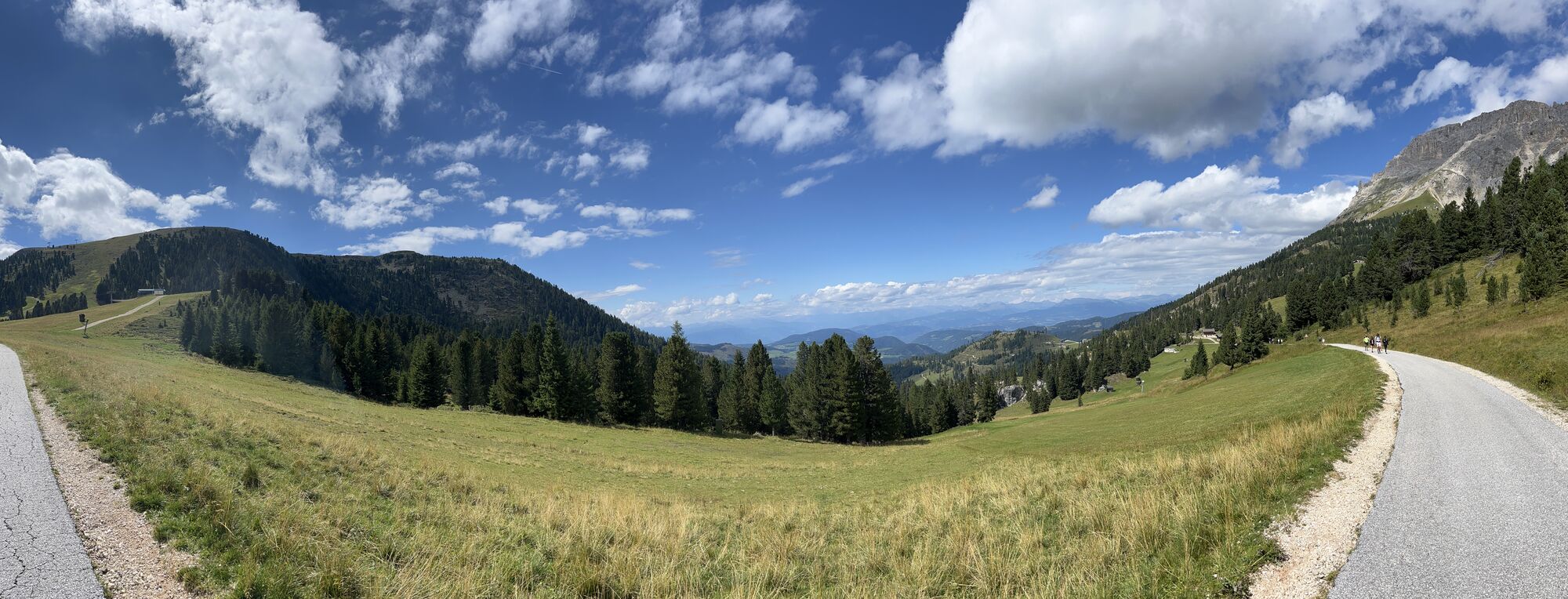
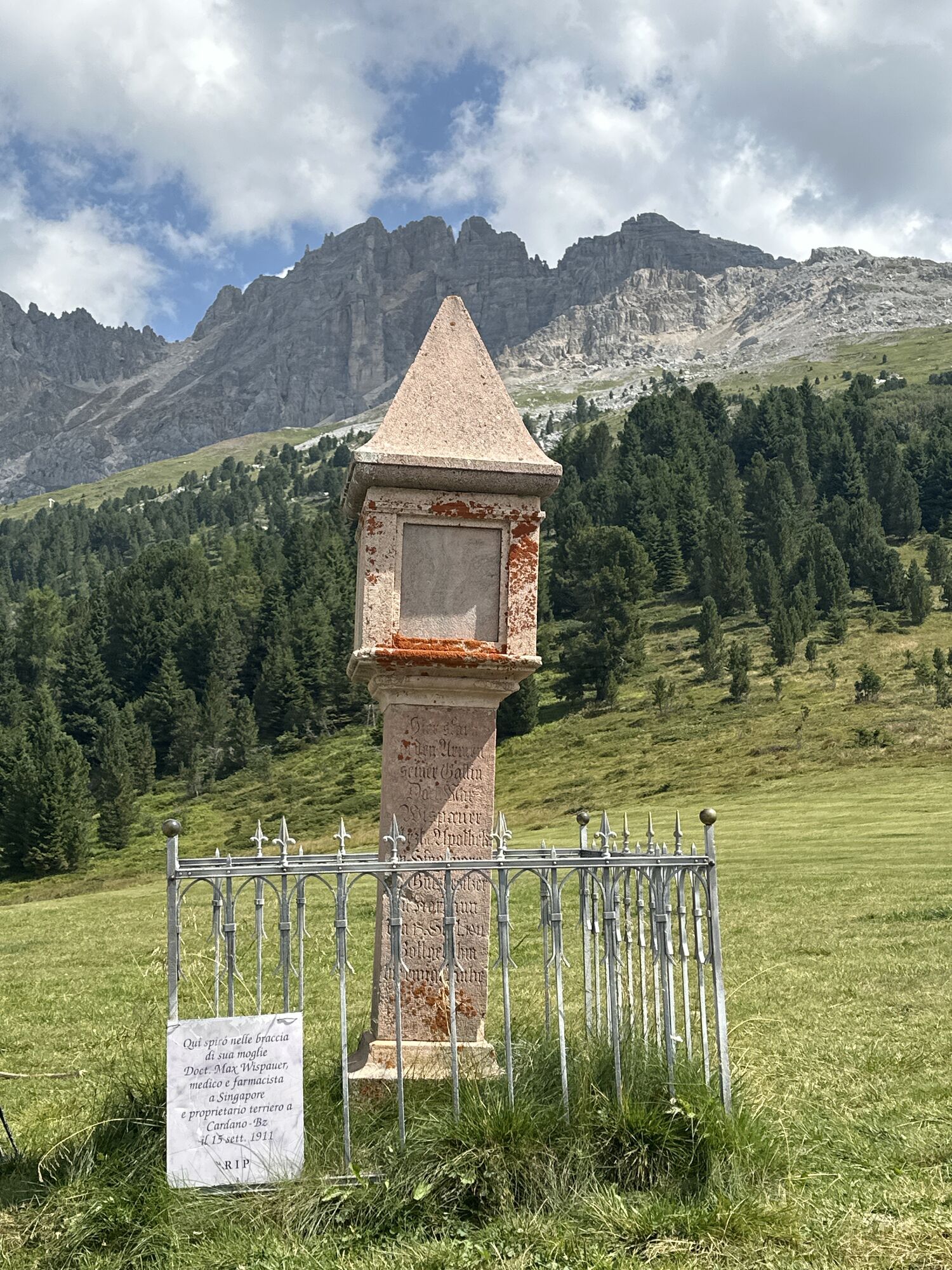
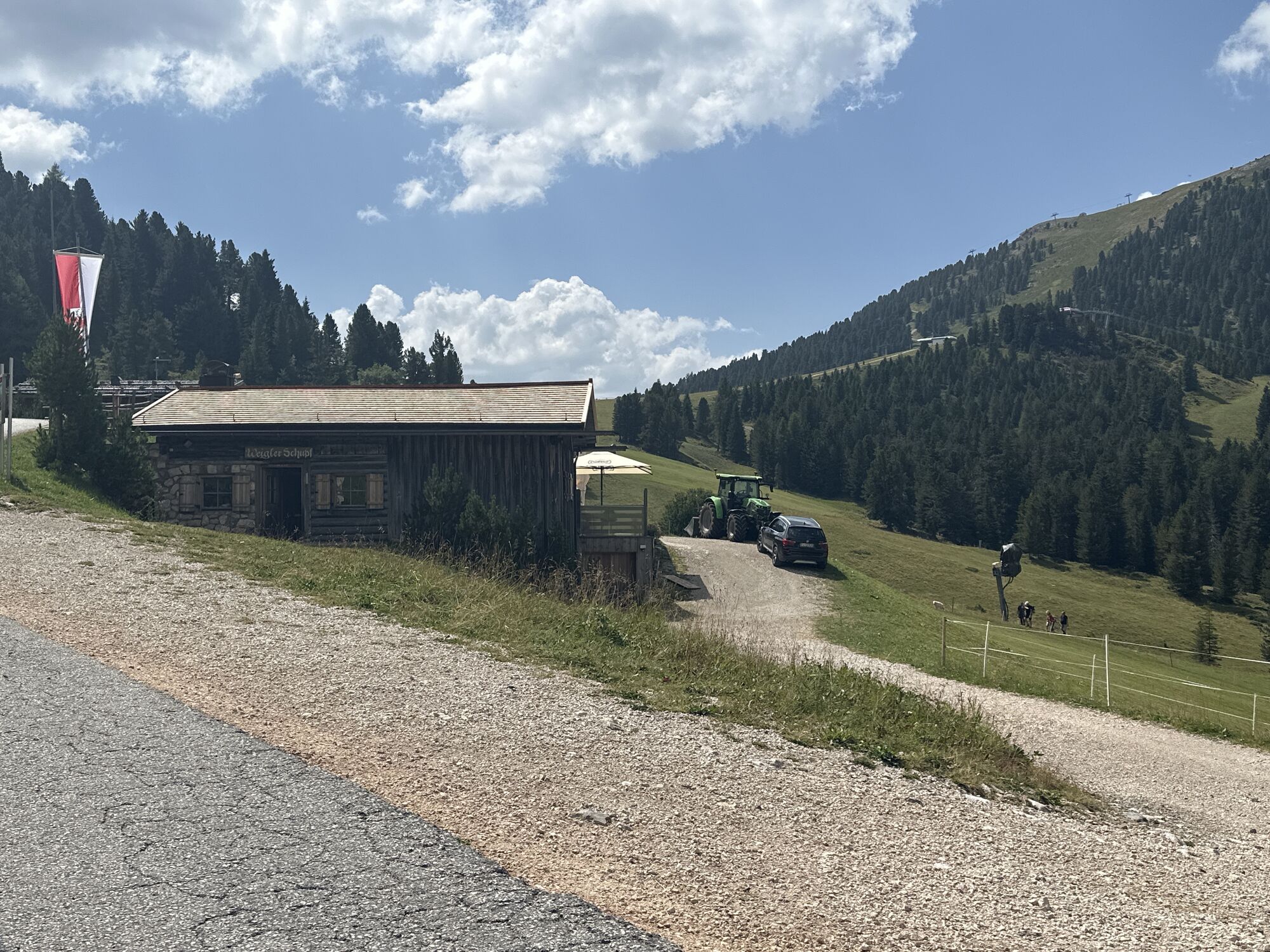
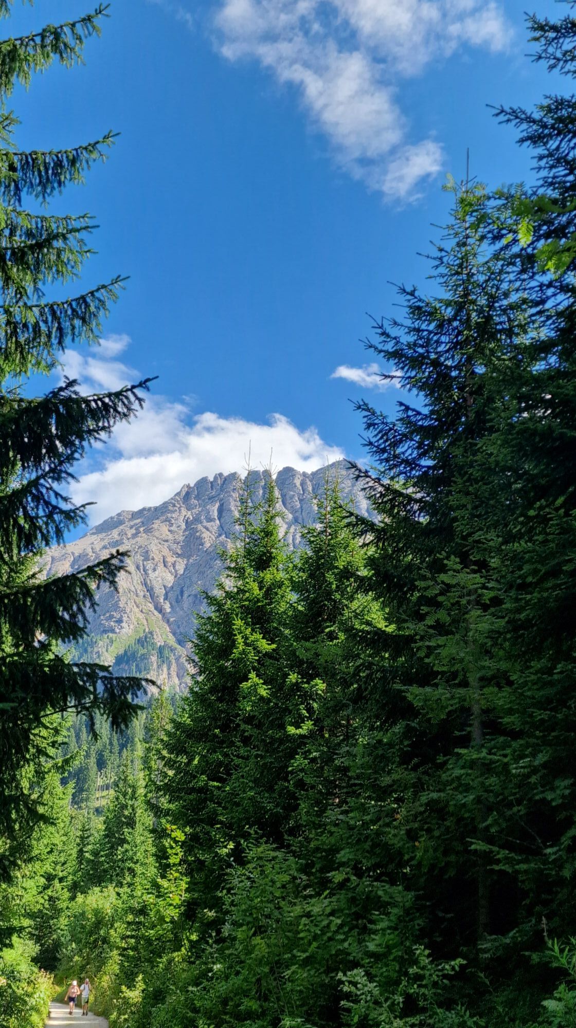

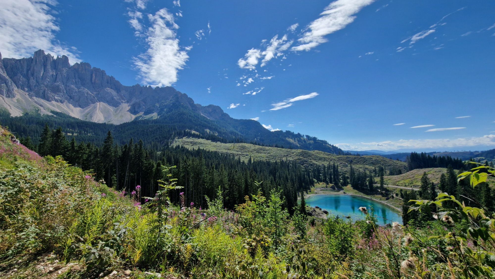
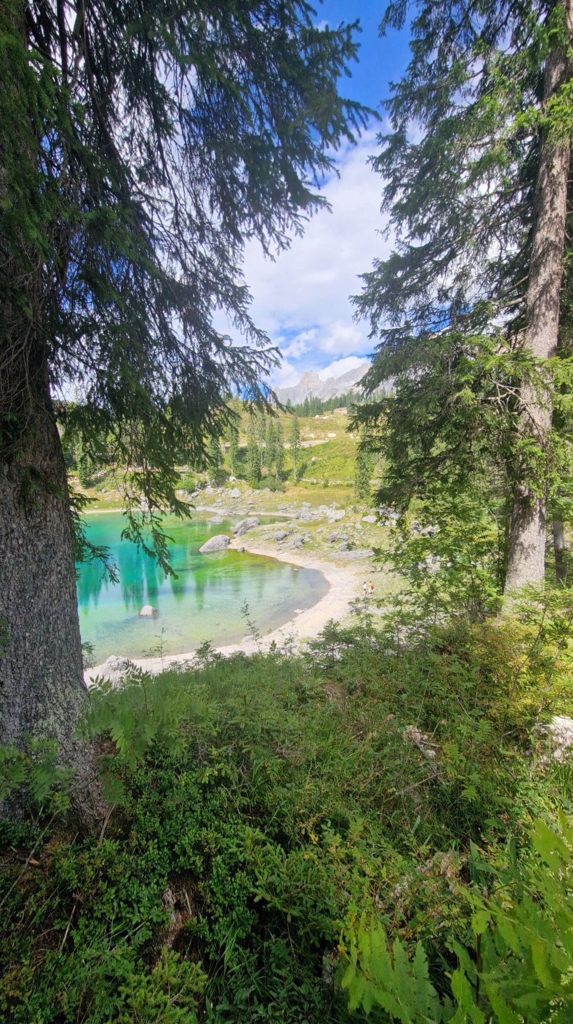
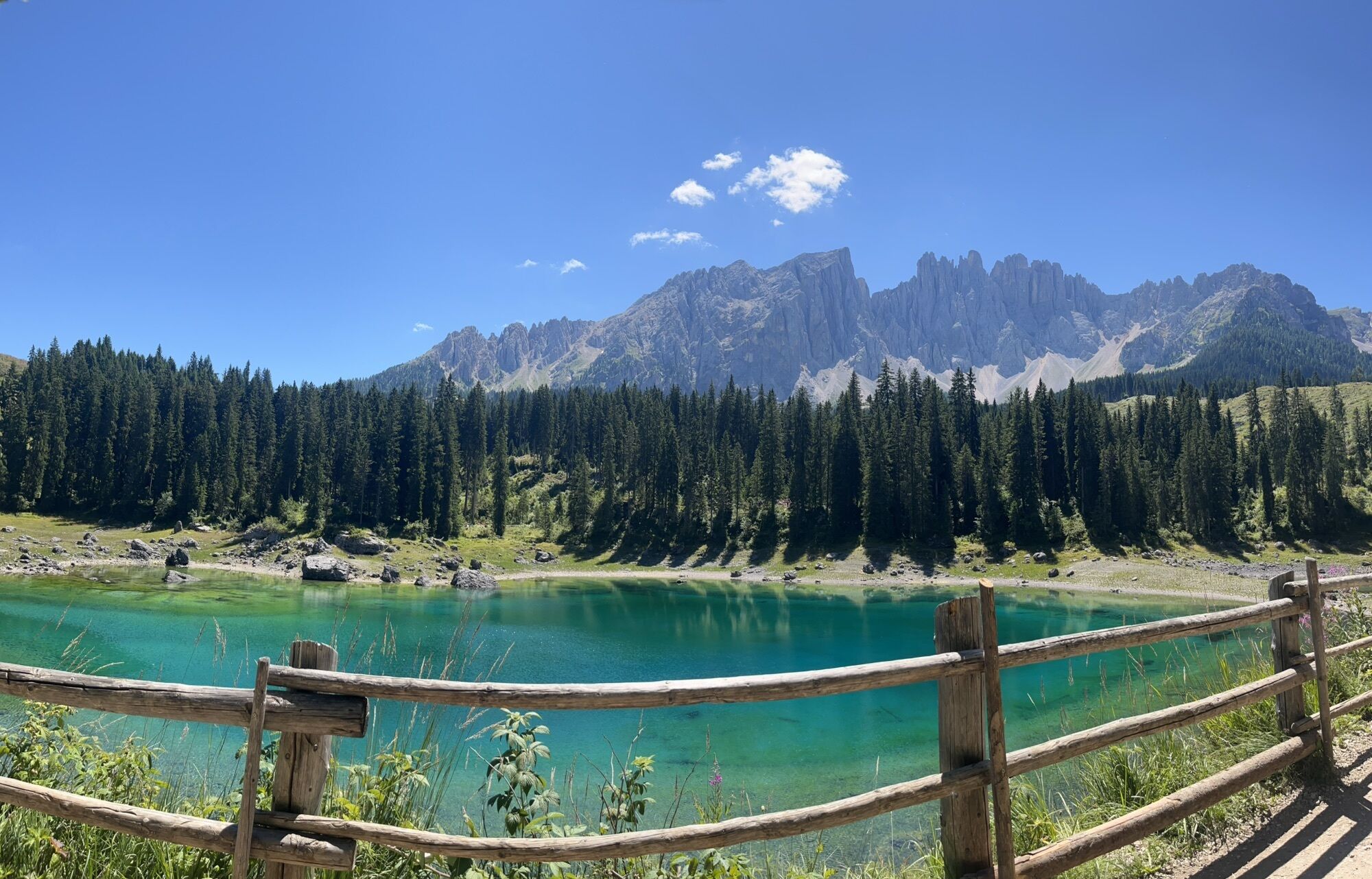
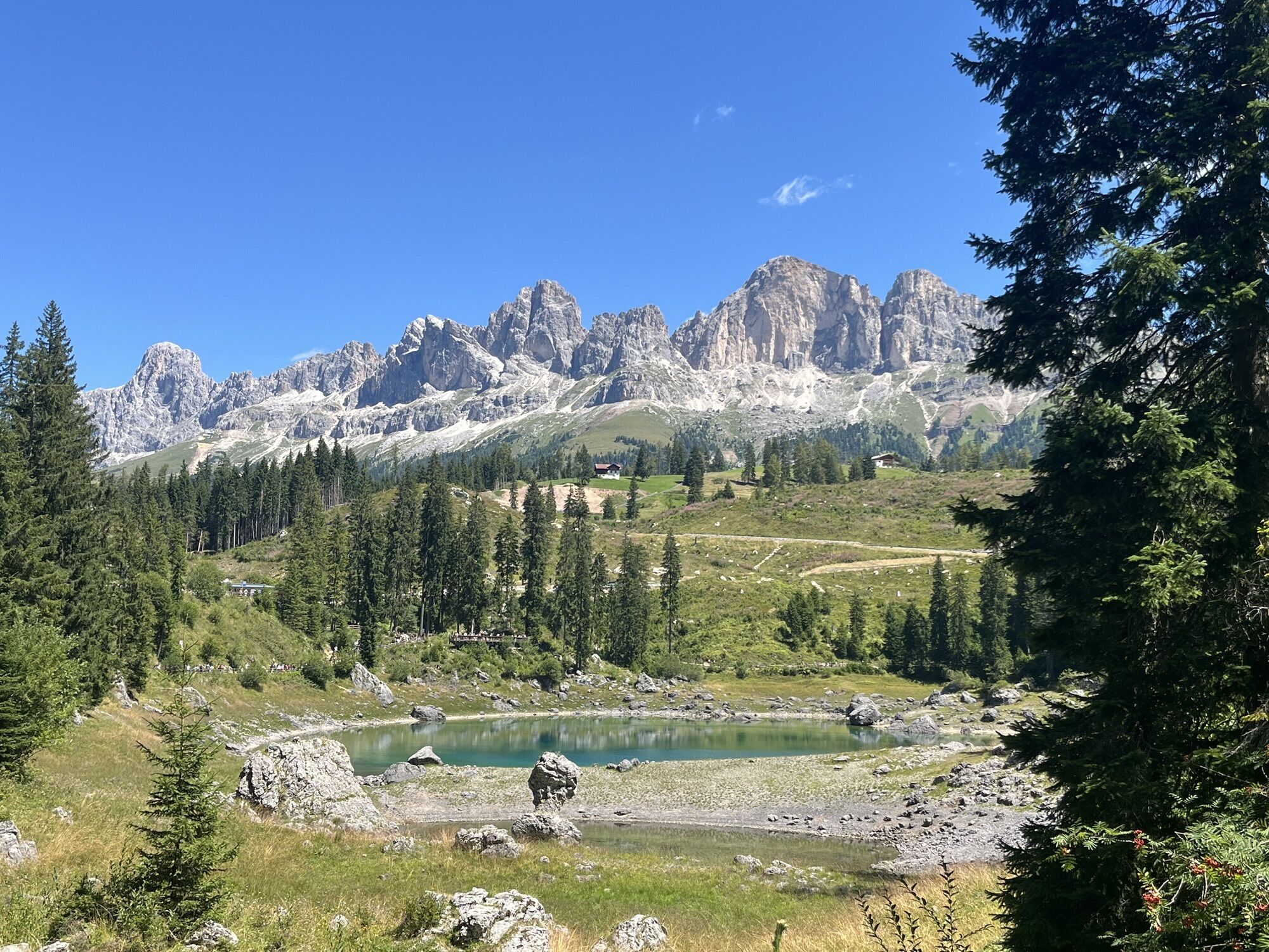
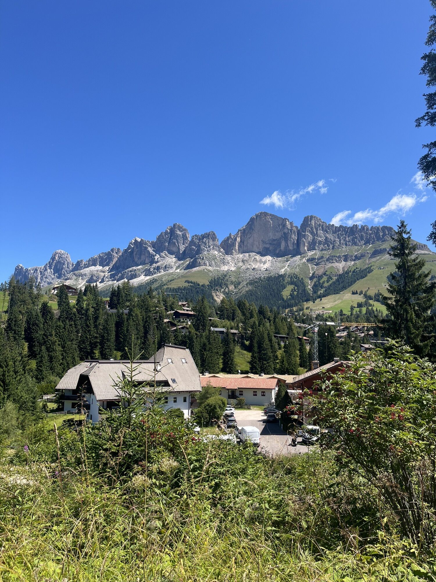
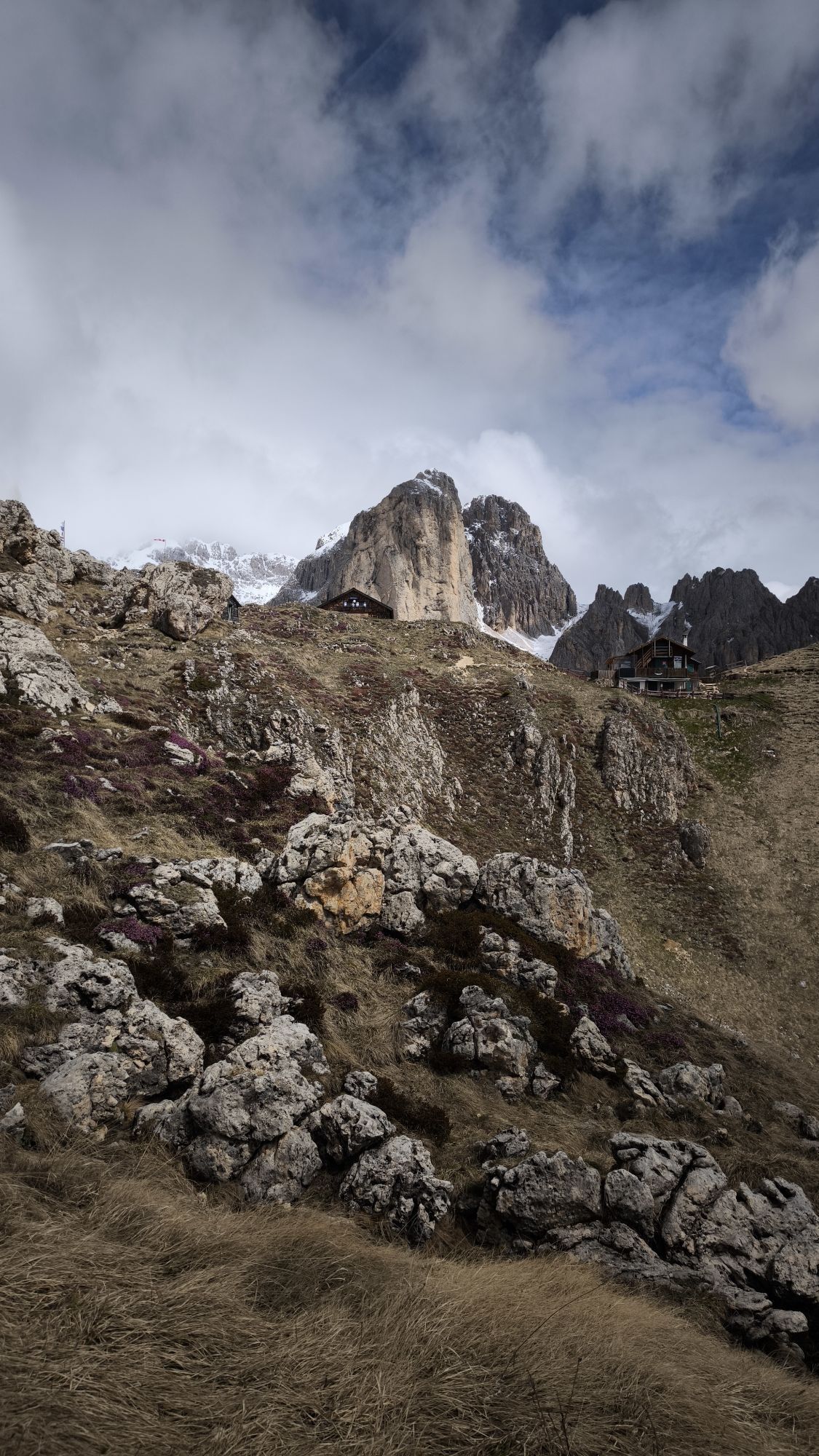
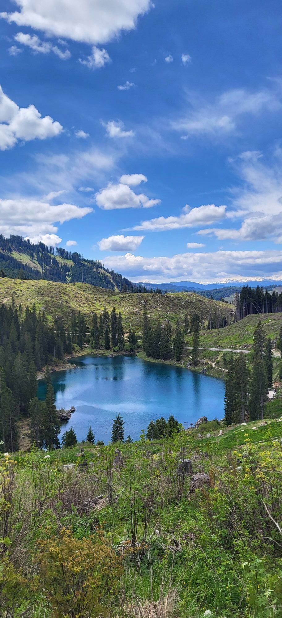

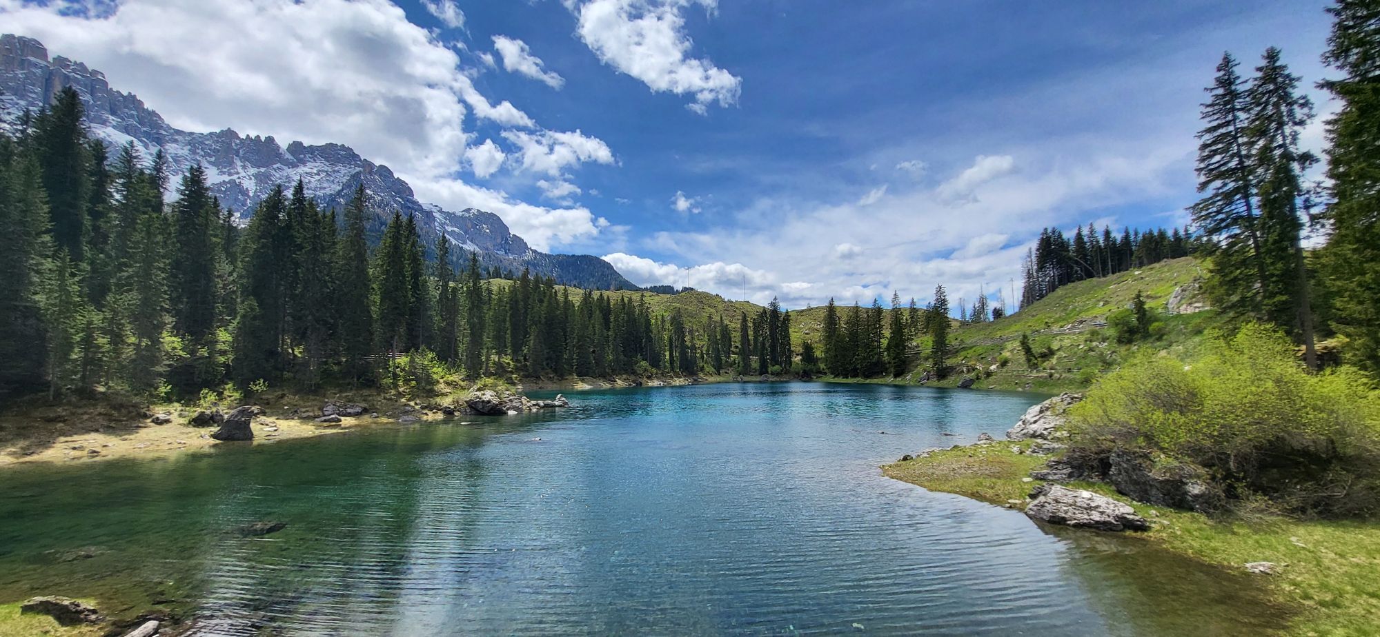
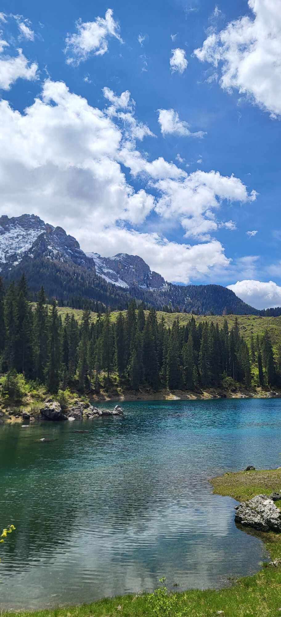
Starting from Pozza/Pera, follow the state road 48 (S.S. 48) southwards, going through Fassa and Fiemme valleys ‘till Tesero (possible detour on paved cycling-and-walking route). Once left the village,...
Starting from Pozza/Pera, follow the state road 48 (S.S. 48) southwards, going through Fassa and Fiemme valleys ‘till Tesero (possible detour on paved cycling-and-walking route). Once left the village, renowned for its handcrafted wooden nativity scenes, a challenging climb begins, along the provincial road 215 (S.P. 215), towards Stava and Pampeago Pass: 10,5 km for more than 1.000 m of elevation gain, with average gradients of 9,7%. The last four kilometres, which went down in Giro d’Italia’s history in 1998, with the victory of Pavel Tonkov over Pantani, and the “Pirate”’s one the following year, have great strains in store, with stretches of over 15%. The descent, passing through Obereggen, ‘till Ponte Nova (S.S. 620), isn’t lighter: 13,9 km with an average gradient of 7,6% and peaks that touch 14,5%. Once reached the crossroads, turn right. Climb up the state road 241 (S.S. 241) towards Nova Levante (4 km) and Carezza Lake (10 km), until you reach Costalunga Pass (14 km). Another 10 km (average gradient 4,4%) separate the Dolomites pass from Vigo and Pozza di Fassa.

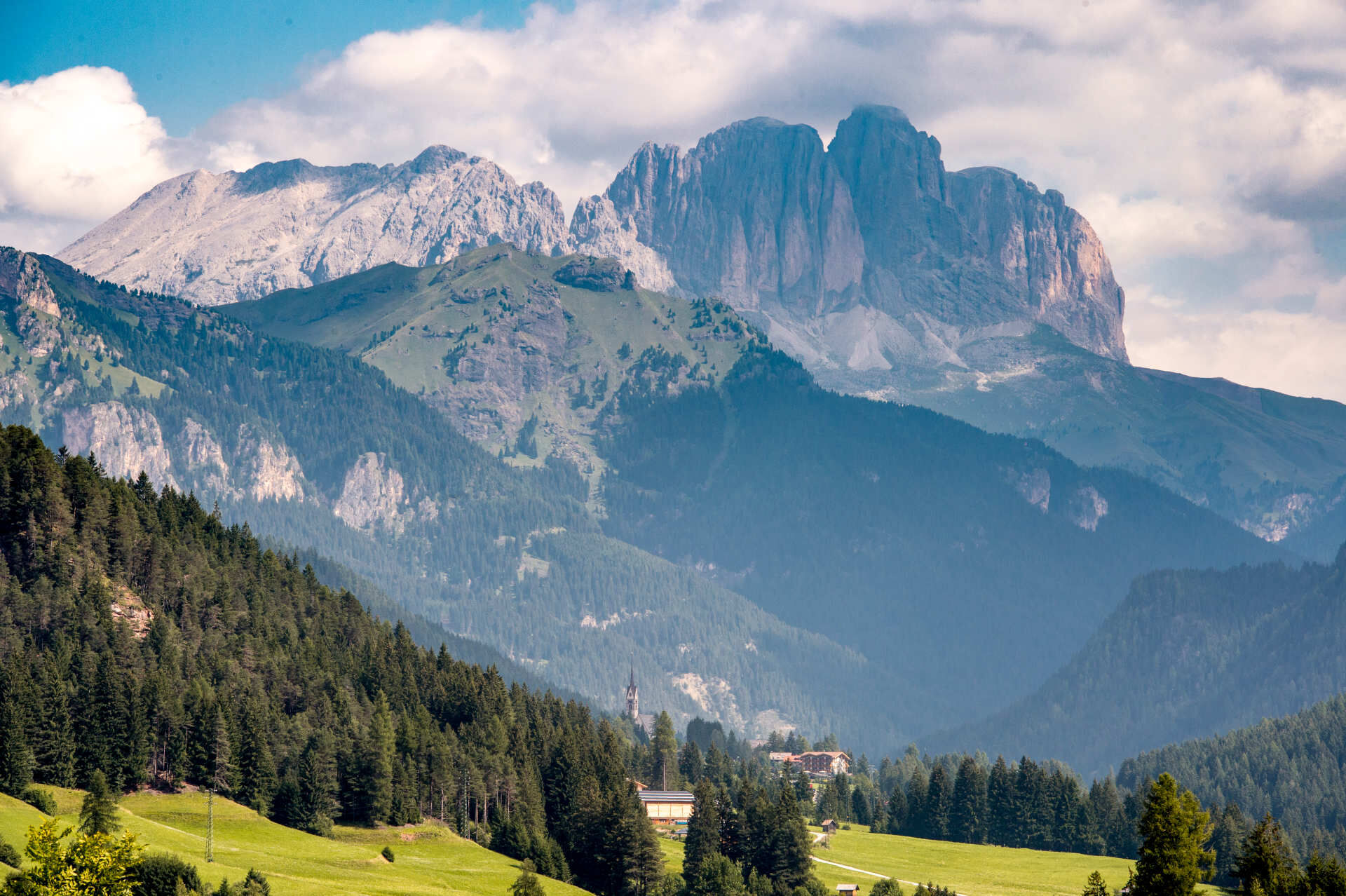
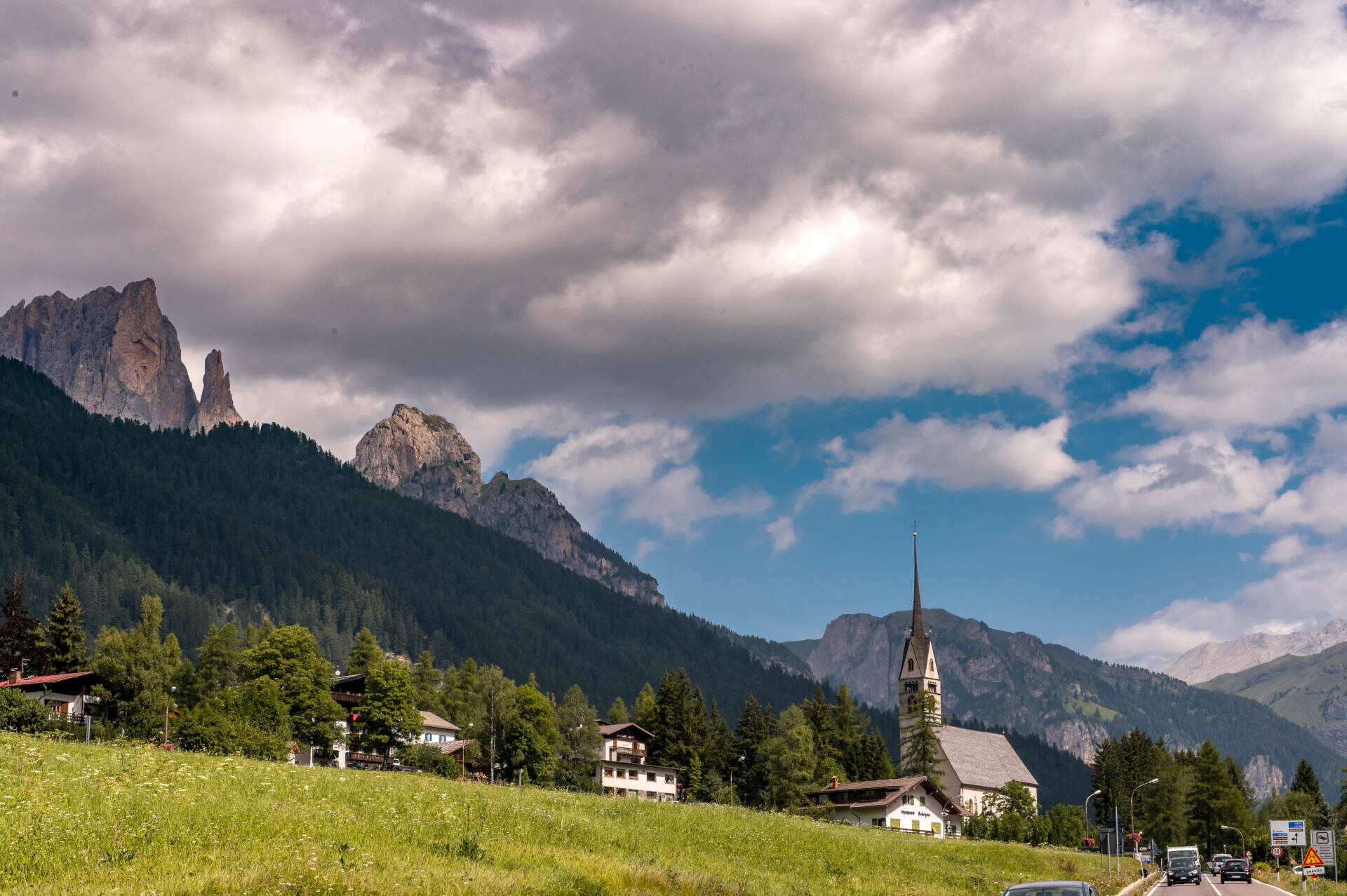
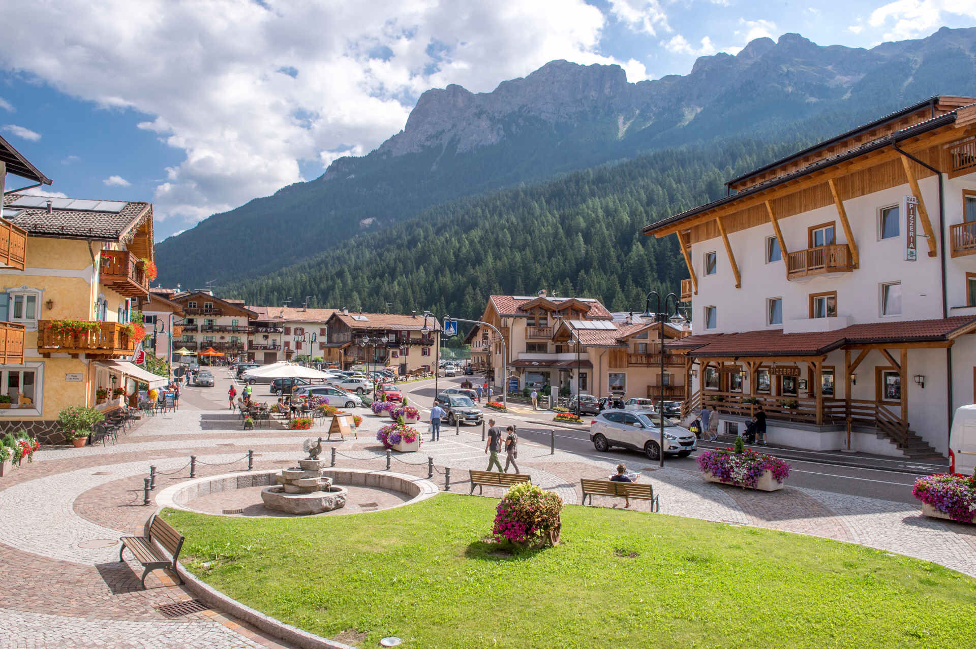
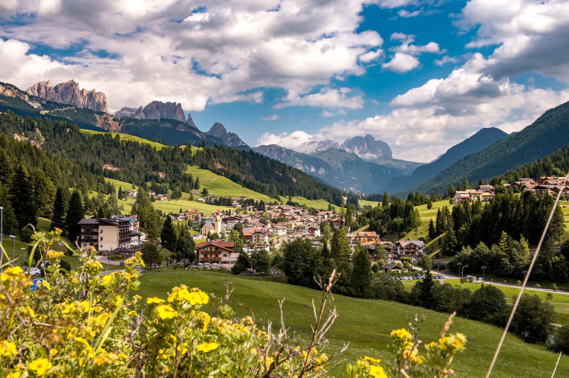
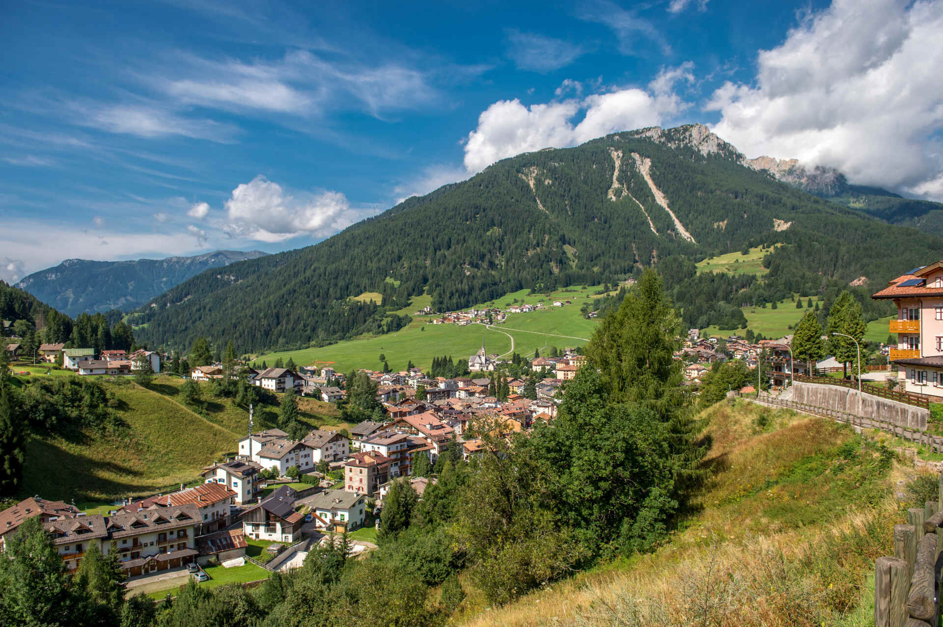
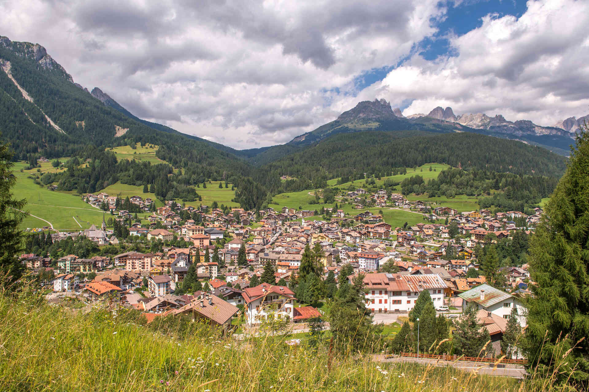
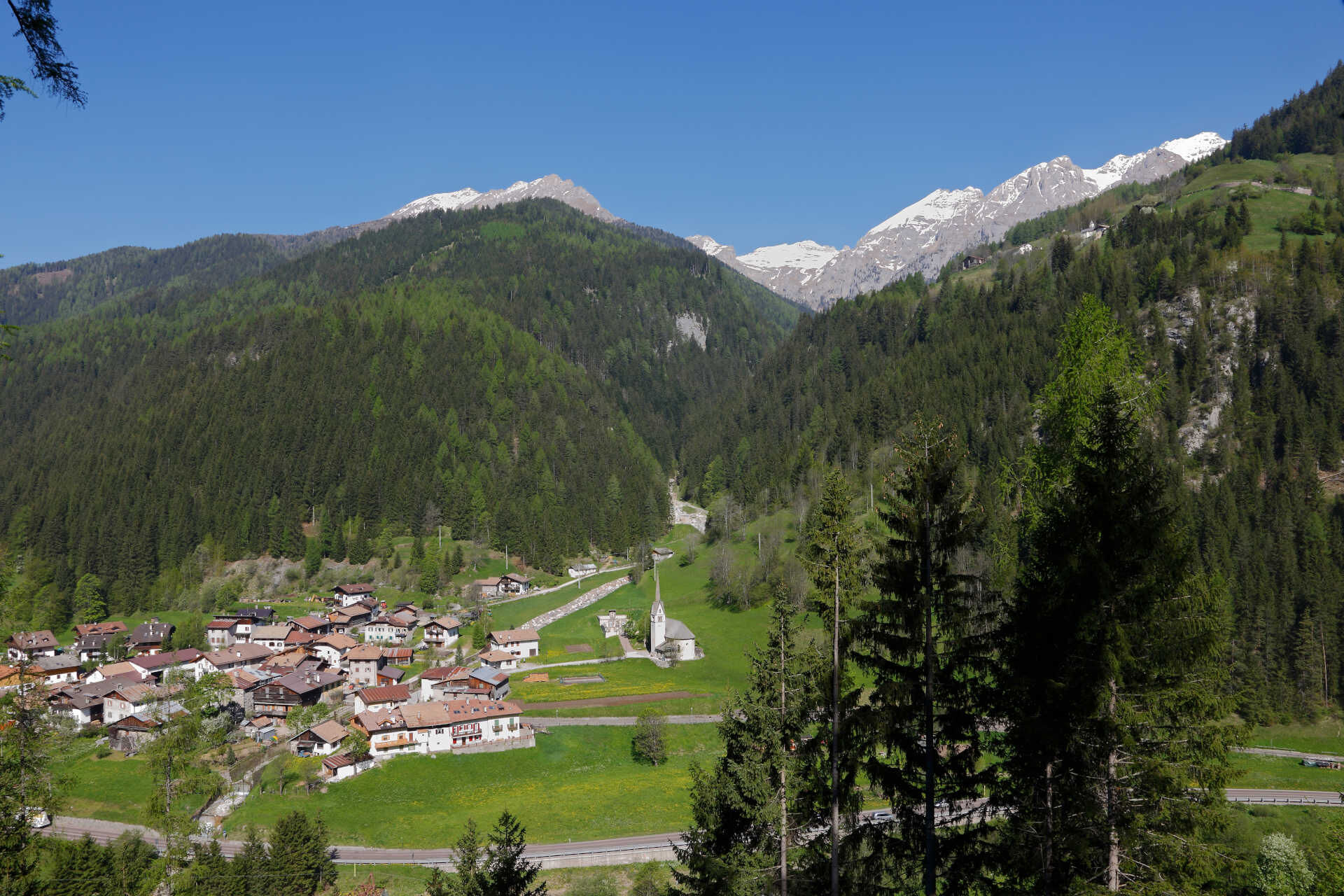
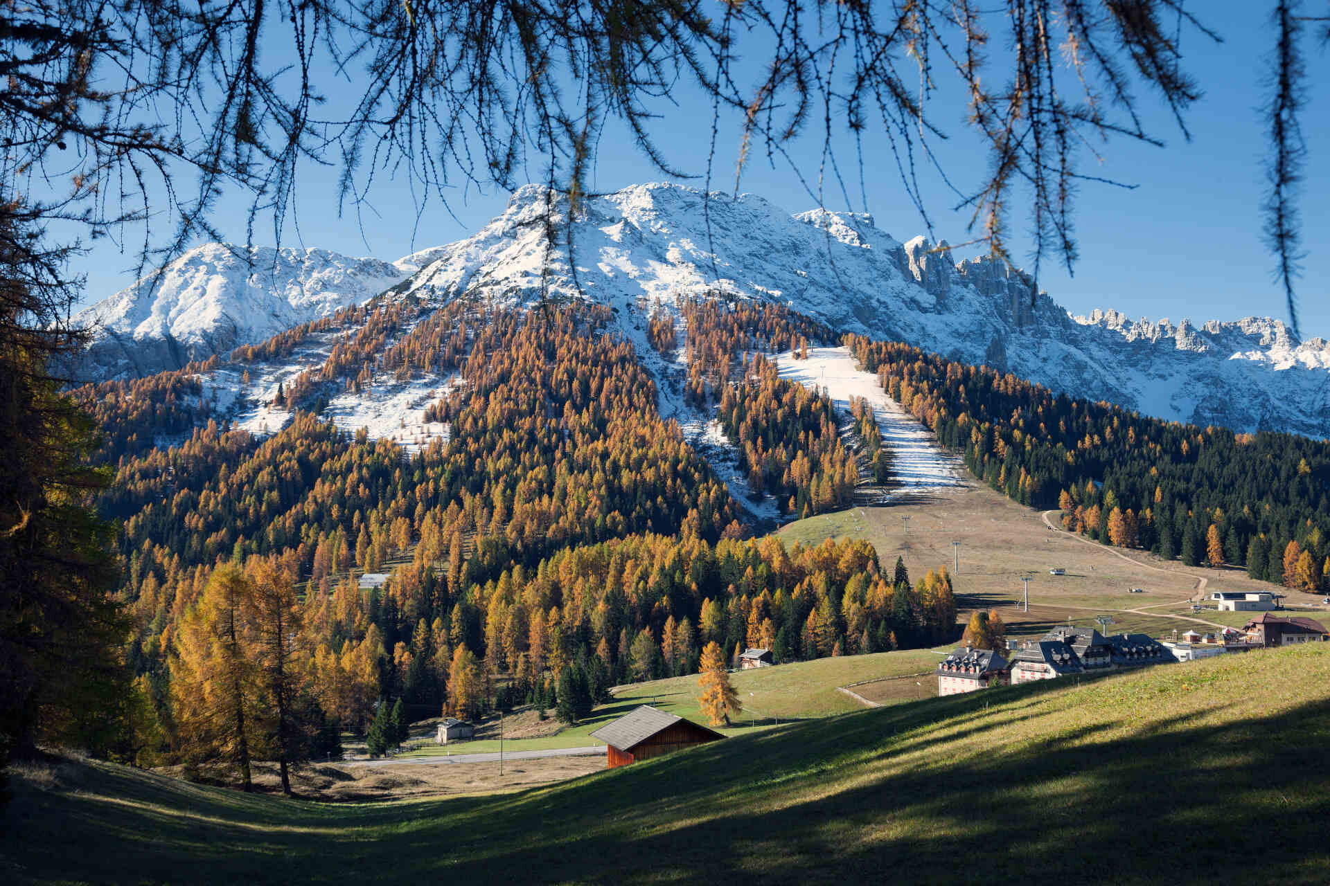
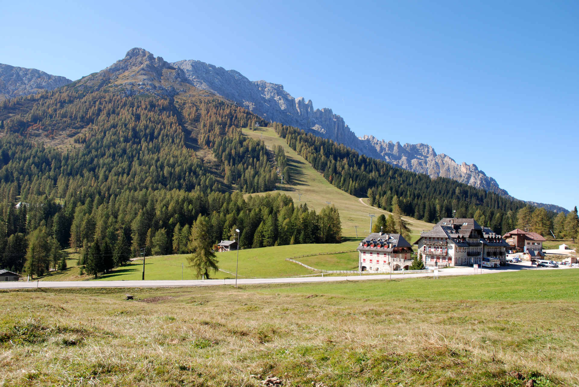
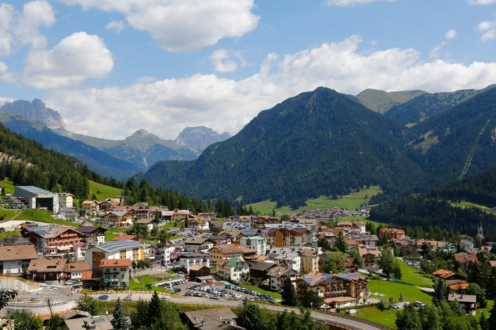

From Ponte Nova, climb up the state road 241 towards Nova Levante (4 km) and Carezza Lake (10 km), ‘till reaching Costalunga Pass (14 km). Another 10 km (average gradient 4,4%) separate the Dolomites pass from Vigo and Pozza di Fassa.
Possible detour from Pozza/Pera to Lago di Tesero on paved cycling-and-walking route.
Helmet, gloves, clothing adequate for the itinerary and the weather forecast. Charged gps with tracks. Puncture repair and multi-tool kit. In compliance with the rules of the road, bikes must absolutely be equipped with bell, headlights, taillights, and reflectors on the back, on the sides and on the pedals.
Plan a tour based on your skills and on the weather.
Proceed slowly, especially downhill, enjoy the view and the silence.
Adapt your speed, especially in turns, to the conditions of the ground.
Rely on the bike guides.
Wear adequate clothing and equipment.
Respect the environment surrounding you and bring your waste back.
Follow the rules of the road.
Be careful on the cycling and walking route.
Help those who need it.
If you come across pedestrians, warn them of your approach and slow down.
Other access points to Val di Fassa:
from A27 motorway (Venezia), exit Belluno/Ponte nelle Alpi, S.S. 203 to Agordo and S.P. 346 to San Pellegrino Pass - Moena (Val di Fassa). At the roundabout in Moena, proceed towards Canazei from A27 motorway (Venezia), exit Belluno/Ponte nelle Alpi, S.S. 203 to Agordo/Alleghe/Rocca Pietore. S.P. 641 to Fedaia Pass - Canazei coming from Arabba, S.S. 48 to Pordoi Pass - Canazei from Val Gardena, S.S. 242 to Sella Pass - CanazeiPublic transport lines SAD - Val di Fassa:
line no. 180 Pozza di Fassa - Vigo di Fassa - Carezza Pass - Bolzano line no. 471 Dolomites passes (Sella Pass, Gardena Pass, Campolongo Pass, Pordoi Pass, Fedaia Pass). Service available in summer onlyFree parking at the fire station in Pera (Strada Dolomites).
5
Strèda Roma, 36
38032 Canazei (TN)
Phone +39 0462 609500
info@fassa.com
www.fassa.com
E-bike Bosch Power Station by the valley station of the gondola in Nova Levante (Val d'Ega). Refreshment points along the route.
Spletne kamere s turneje
-
Bergstation Absam Maierl
-
Ciampedie - Rosengarten
-
Ciampedie - Rosengarten
-
Ciampedie - Rosengarten
-
Ciampedie - Rosengarten
-
Le Cune
-
Le Cune
-
Le Cune
-
Le Cune
-
Le Cune
-
Le Cune
-
Snowpark Obereggen
-
Welschnofen - Nigglhof
-
Le Cune
-
Catinaccio - Rosengarten Pra Martin
-
Ciampedie - Rosengarten
-
Ciampedie - Rosengarten
-
Ciampedie - Rosengarten
-
Ciampedie - Rosengarten
-
Catinaccio - Rosengarten Pra Martin
-
Catinaccio - Rosengarten Pra Martin
-
Castelir
-
Castelir
-
Castelir
-
Castelir
-
Castelir
-
Castelir
-
Pozza di Fassa - Buffaure
-
Passo di Lavaze
-
Gummer
-
Paolina Talstation
-
Welschnofen Bergstation
-
Welschnofen Bergstation
-
Talstation Pra di Tori
-
Eggental – Carezza - Frin
-
Laner
-
Hotel Pfösl - Deutschnofen
-
Obereggen - Oberholz Talstation
-
Pozza di Fassa
-
Oberholz Berg
Pridobite vpogled
Vedno v živo na mestu z več kot 9.500 spletnimi kamerami. bergfex Kot uporabnik Pro si lahko zdaj ogledate ustrezne spletne kamere za številne izlete v aplikaciji izleti iz. Tako si lahko neposredno ogledate trenutne razmere.
Priljubljeni izleti v okolici
-
4.8
Torre di Pisa mountain hut
srednjaPohodništvo 9.09 km -
4.9
Santnerpass Klettersteig
srednjaVia ferrata 8.29 km -
4.8
Passo Costalunga - Sella del Ciampaz
srednjaPohodništvo 8.35 km -
5.0
Ciampedie - Gardeccia - Refuges Vajolet and Preuss - Refuge Re Alberto I - Gardeccia - Ciampedie
težkoPohodništvo 11.8 km -
4.6
Kölner Hütte - Hirzelsteig - Rotwandhütte - Baita Tre - Karerpass
srednjaPohodništvo 9.56 km -
4.7
Stage 1 Dolomiti Trek King in autumn - Catinaccio
težkoPohodništvo 15.3 km -
5.0
Rosengarten: Cigoladepass und Fassaner Höhenweg
srednjaPohodništvo 15.6 km -
5.0
Latemar Umrundung - die Kurze und Bequeme
srednjaPohodništvo 12.1 km -
5.0
Giro del catinaccio a nova levante
Pohodništvo 11.7 km -
4.9
Rifugio Paolina - Laurin's Lounge - Kölner Hütte - Rifugio Fronza alle Coronelle - Paolina
srednjaPohodništvo 8.19 km
Pohodništvo in sledenje


Ne zamudite ponudb in navdiha za naslednje počitnice
Vaš e-poštni naslov je bil dodan na poštni seznam.





