







Pozza di Fassa - Moena - San Pellegrino Pass - Cencenighe - Caprile - Fedaia Pass - Canazei - Pozza di Fassa
Stopnja težavnosti: 5
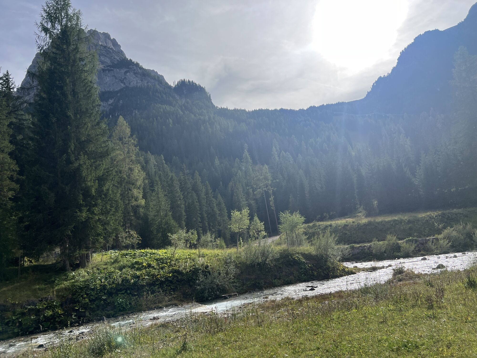
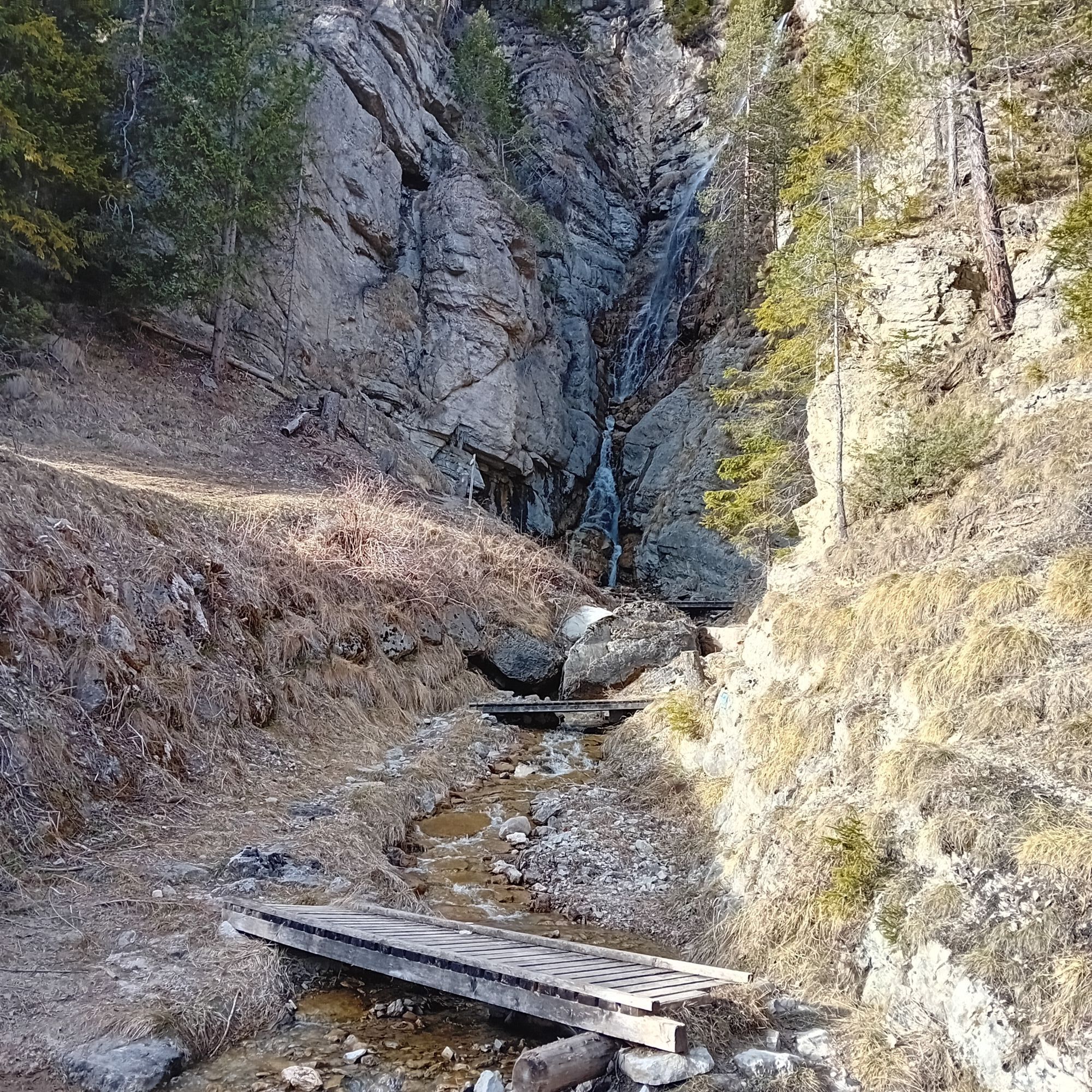
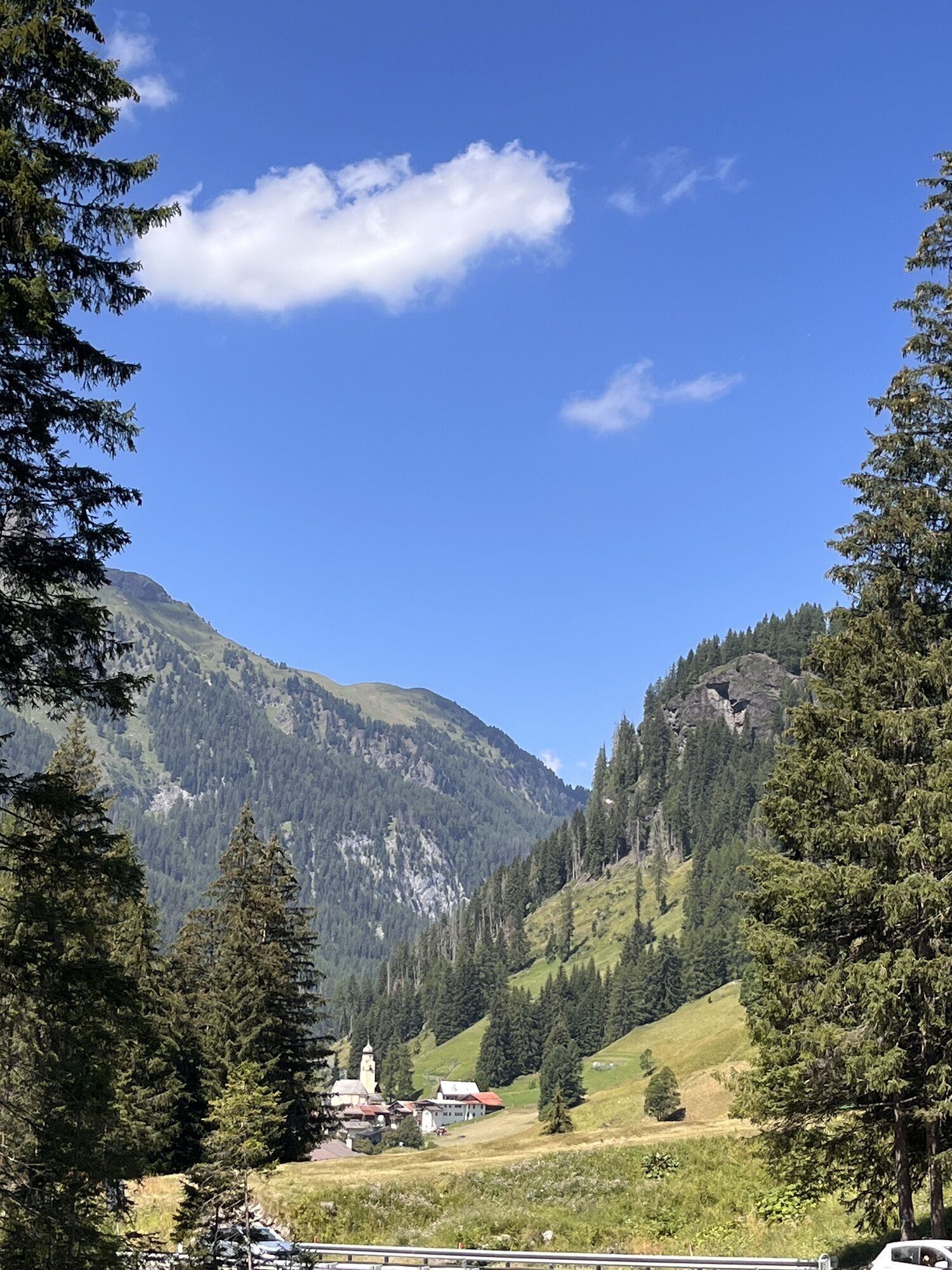
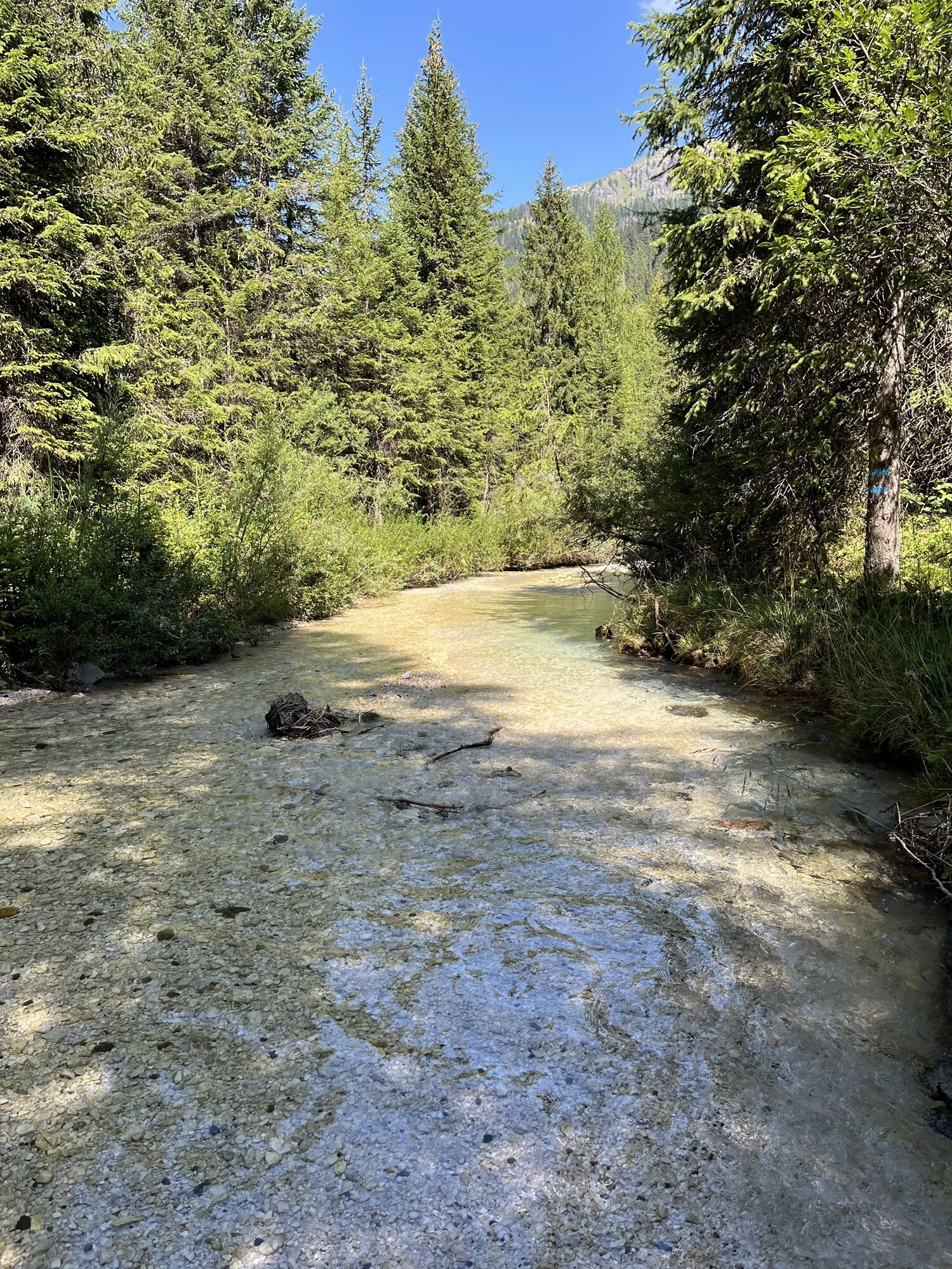
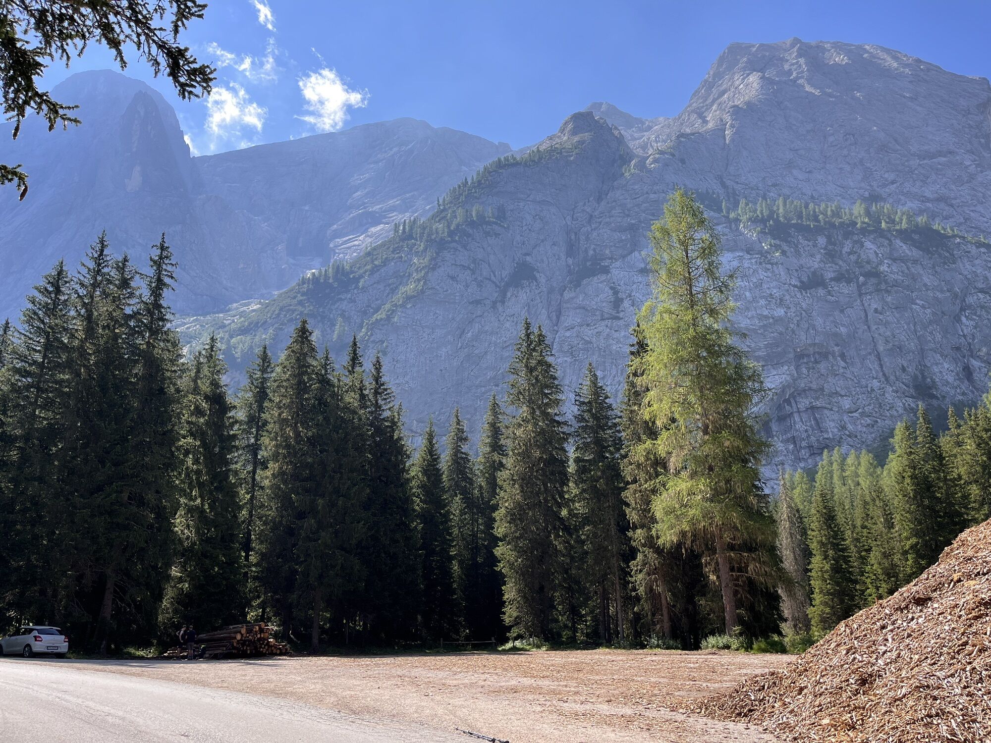
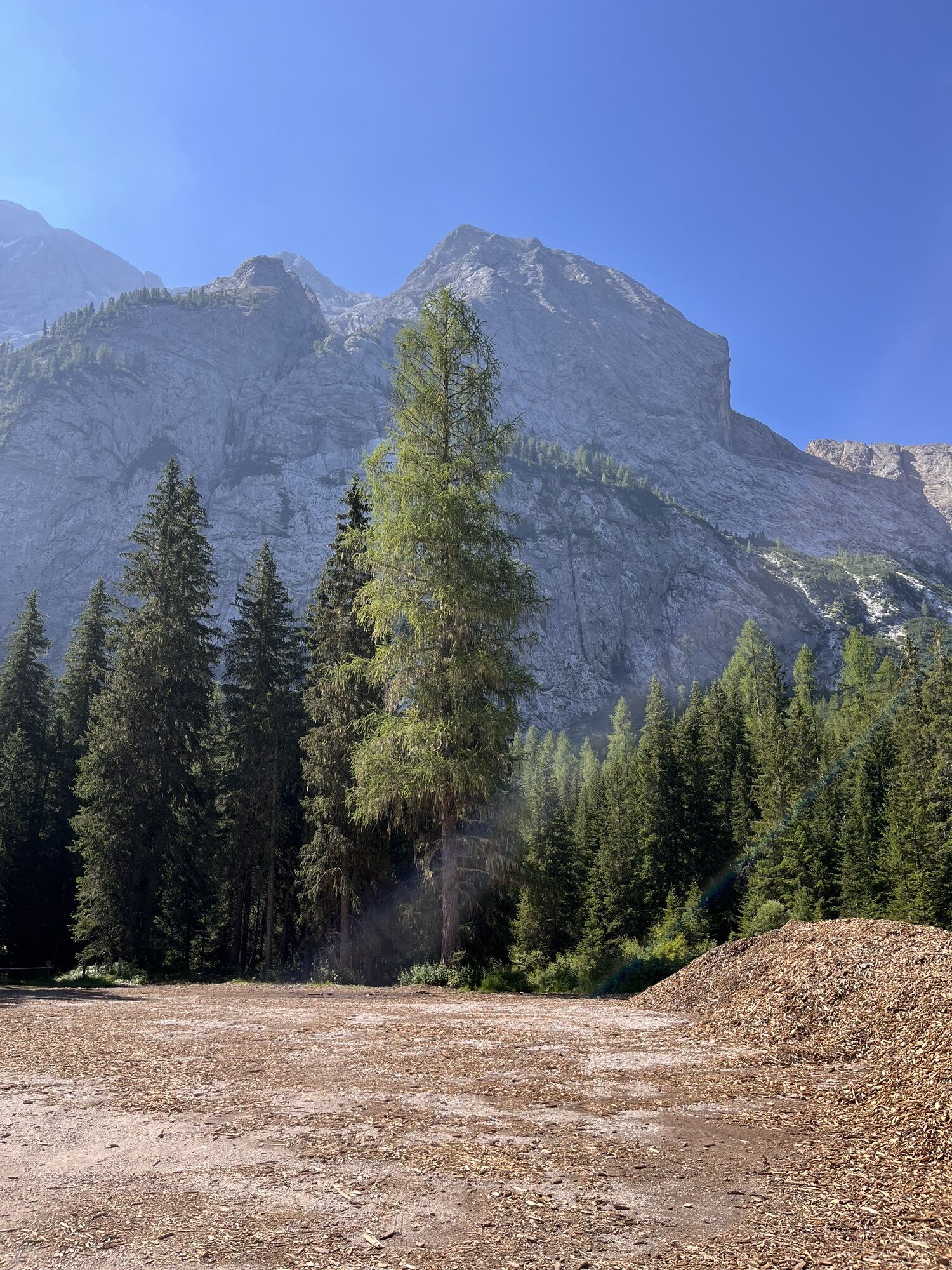
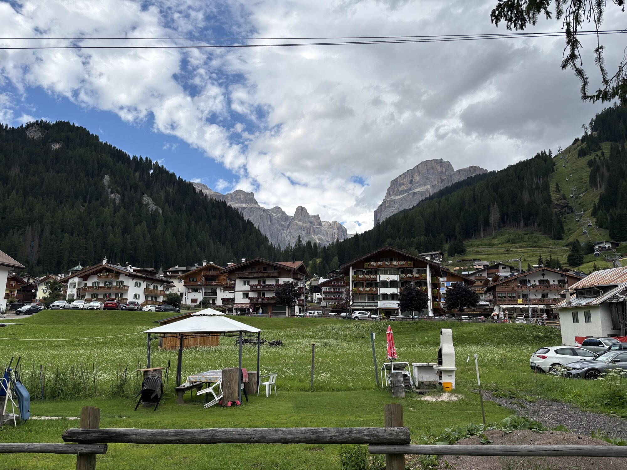
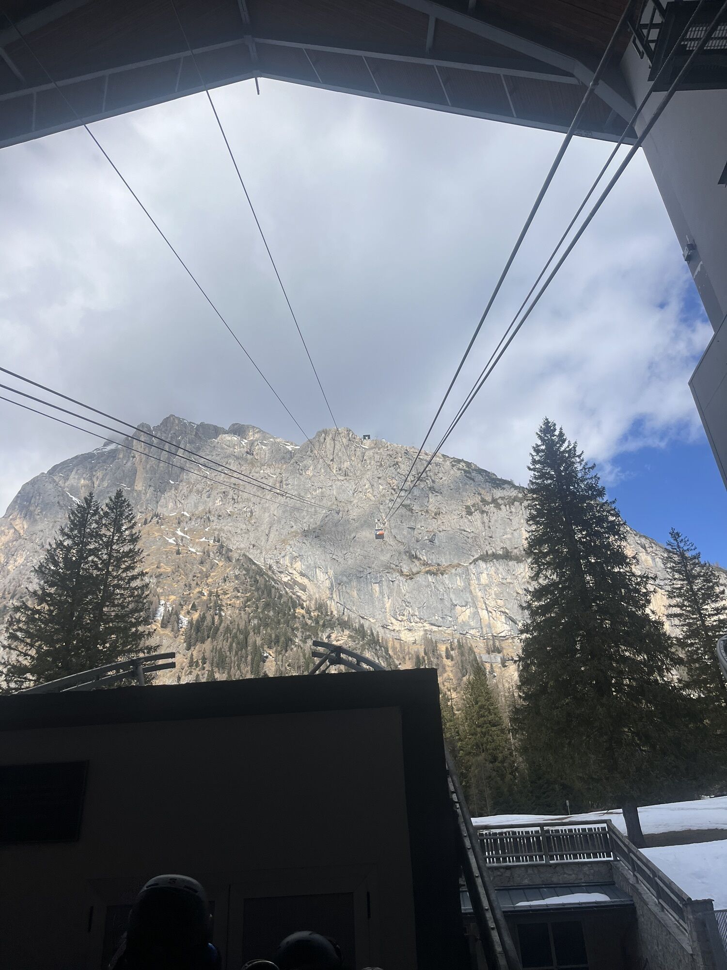
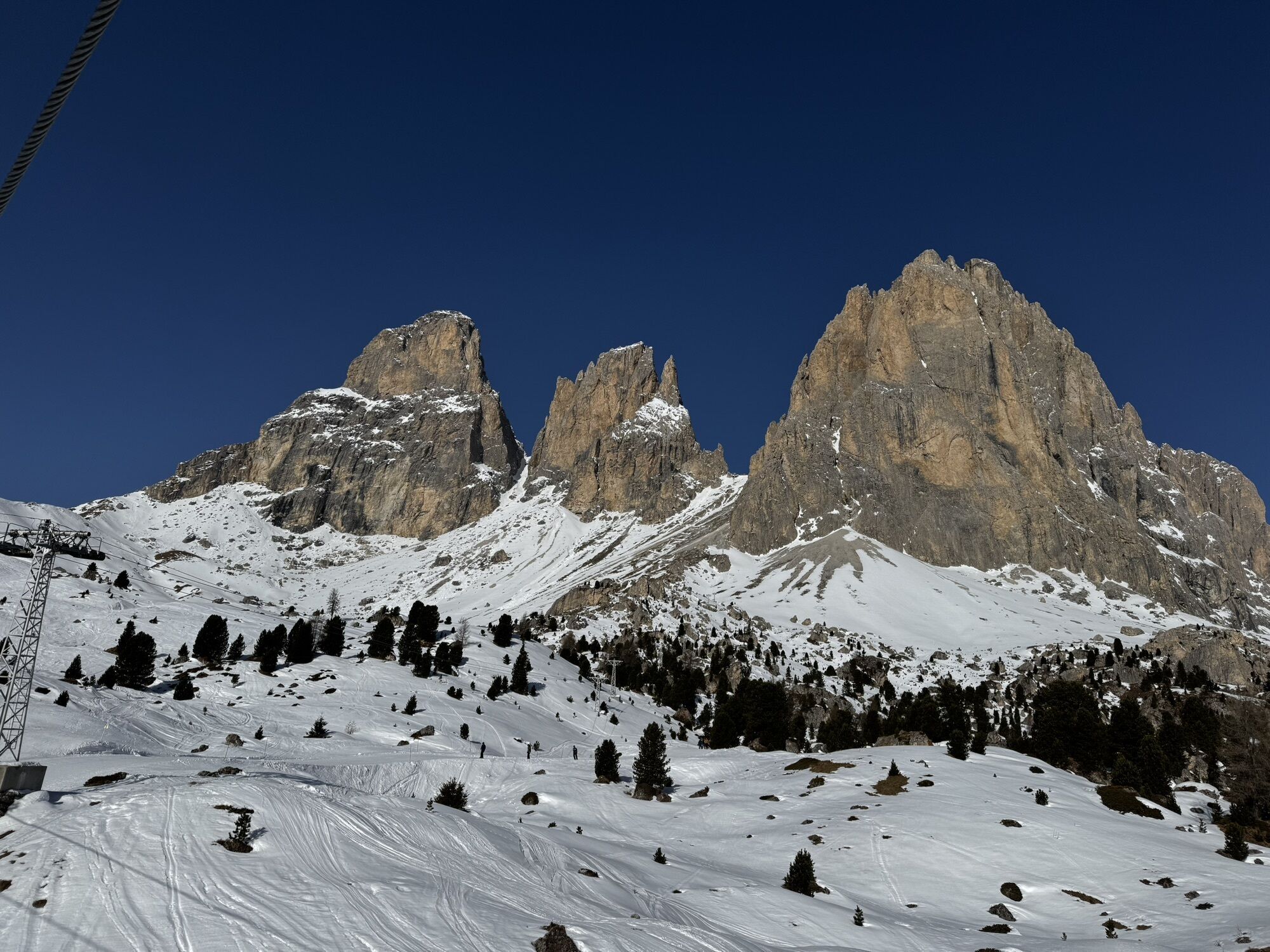
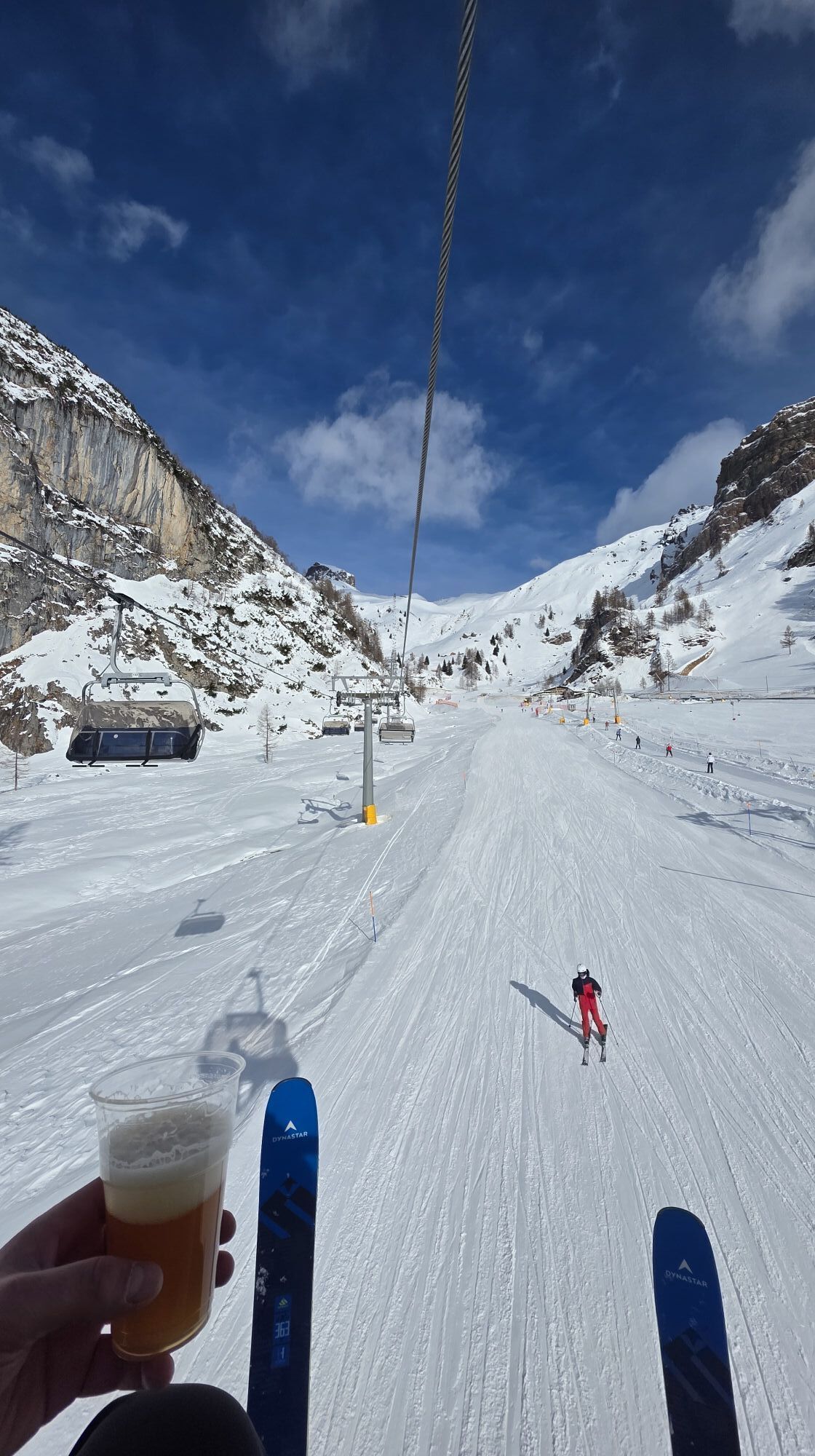
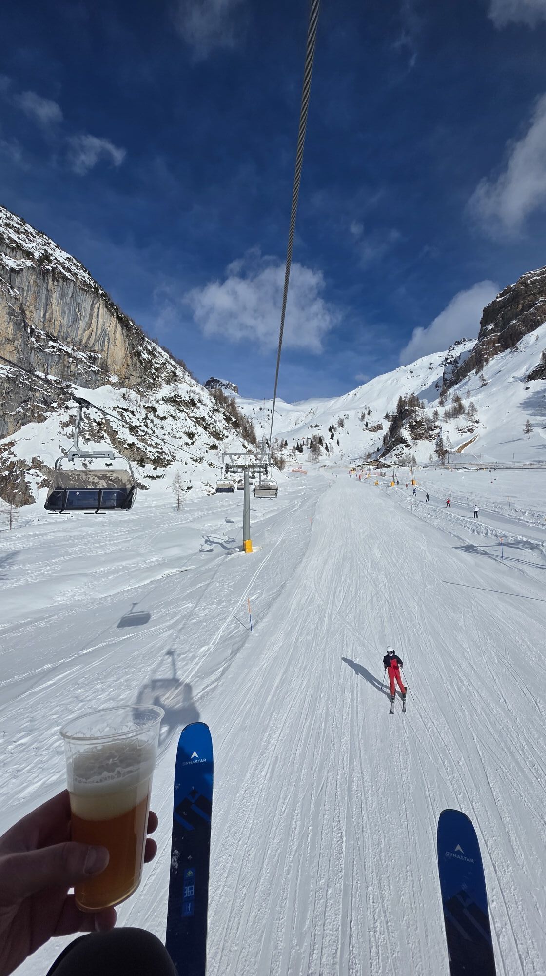
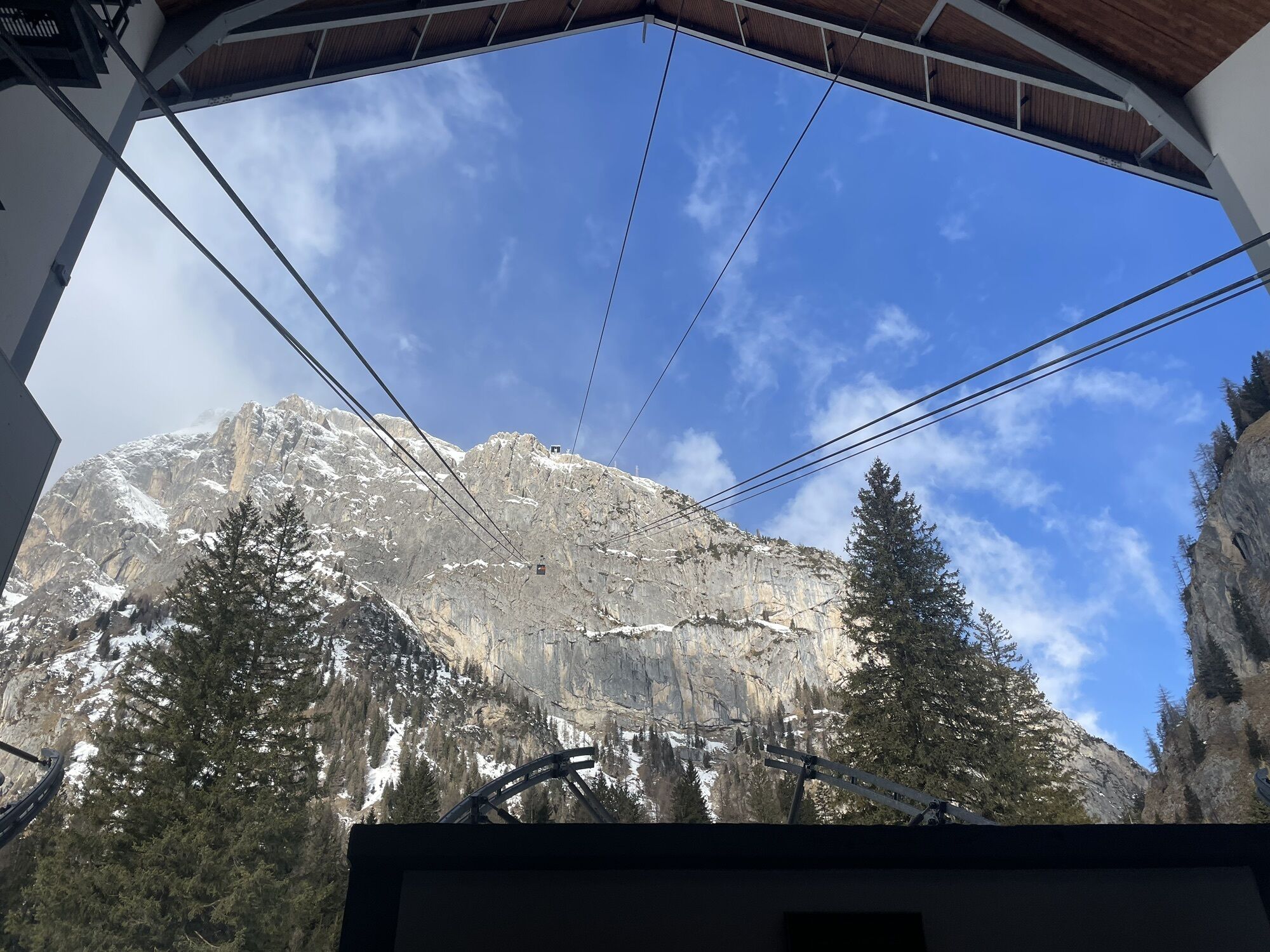


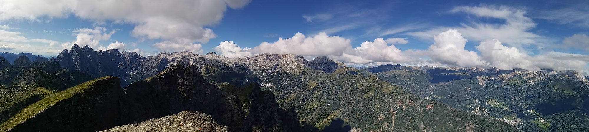
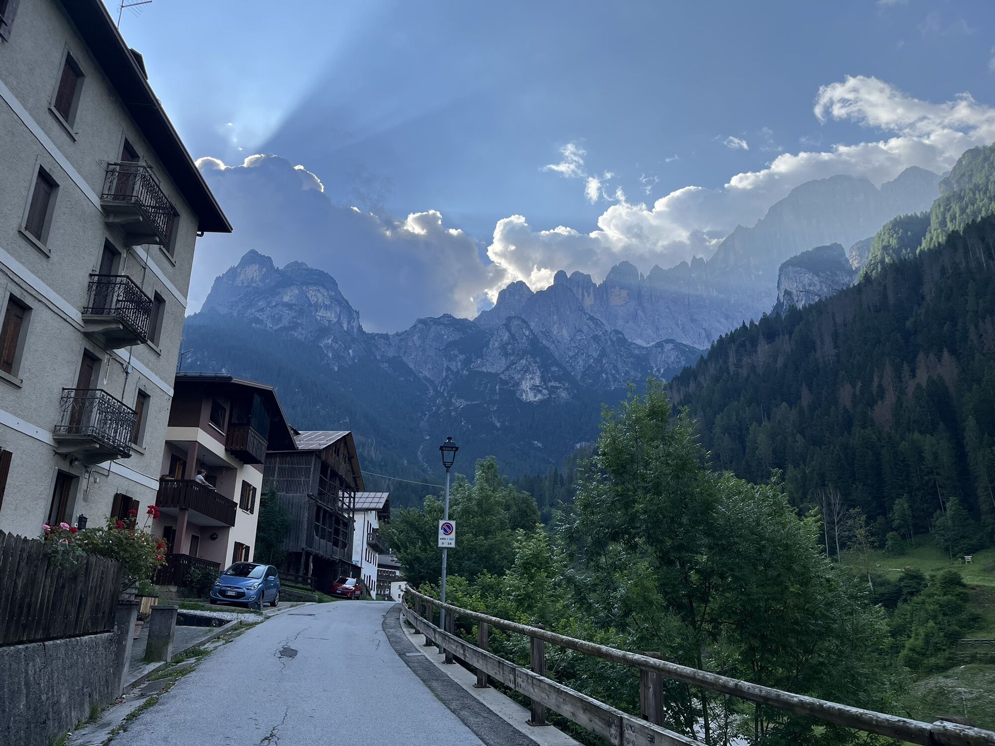
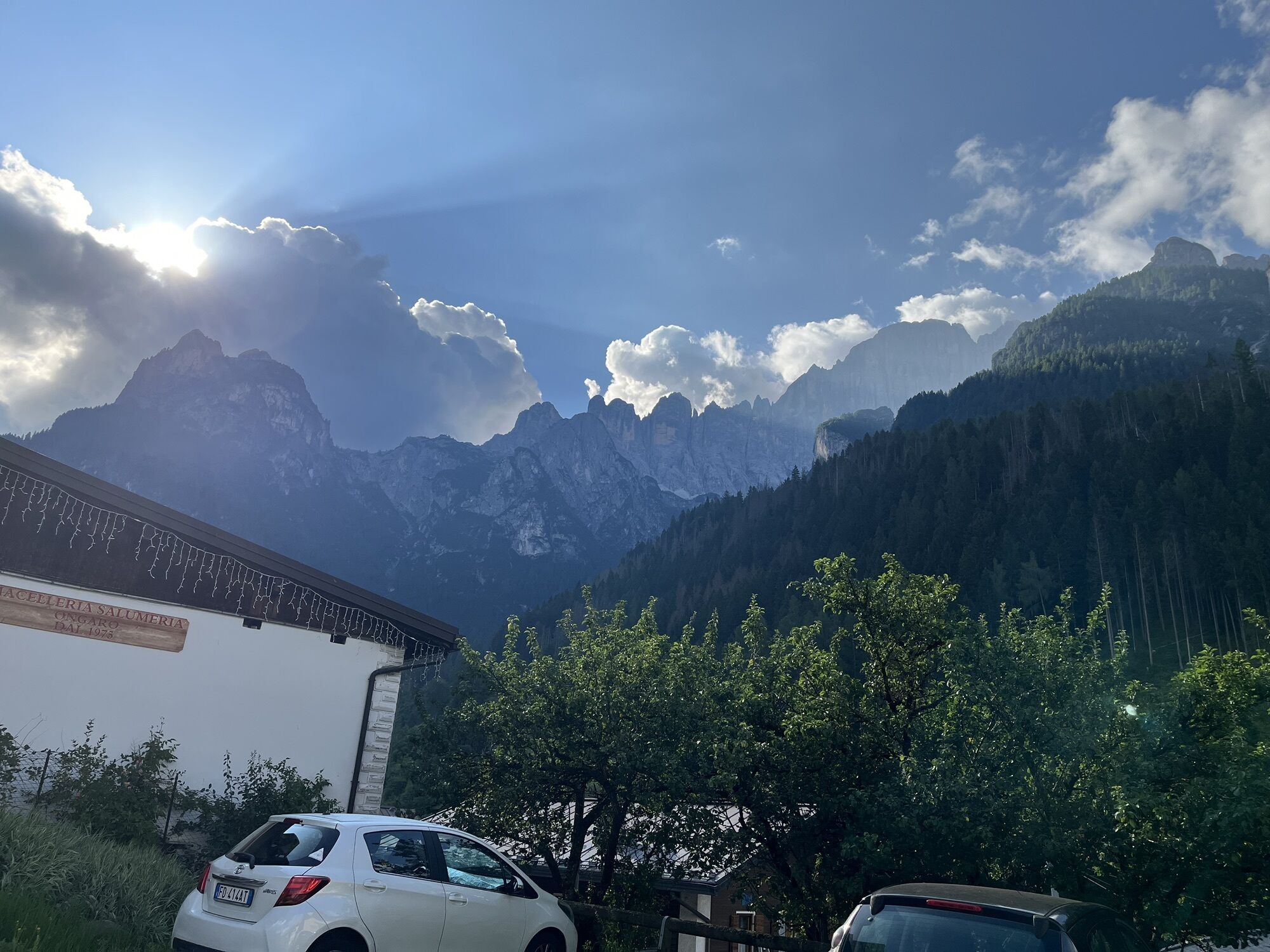
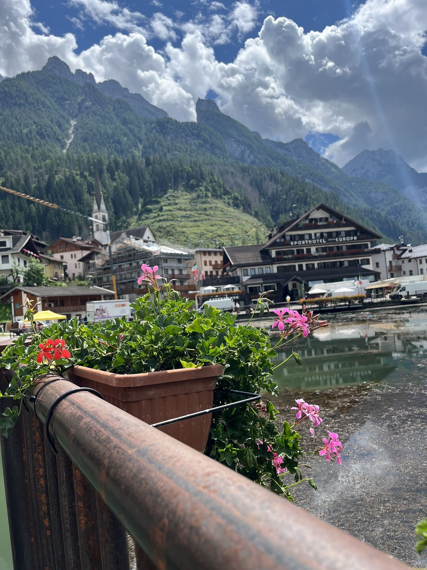
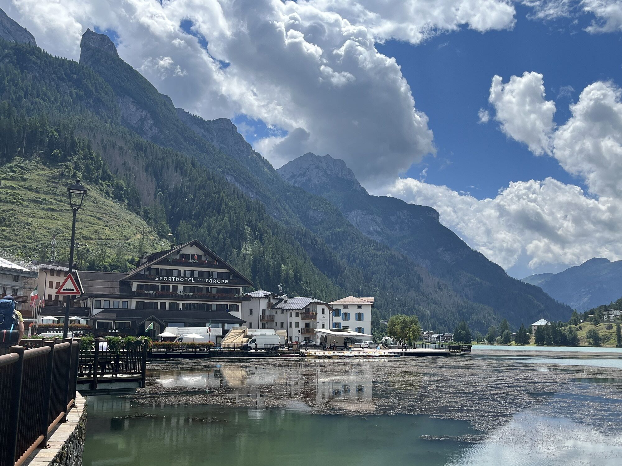
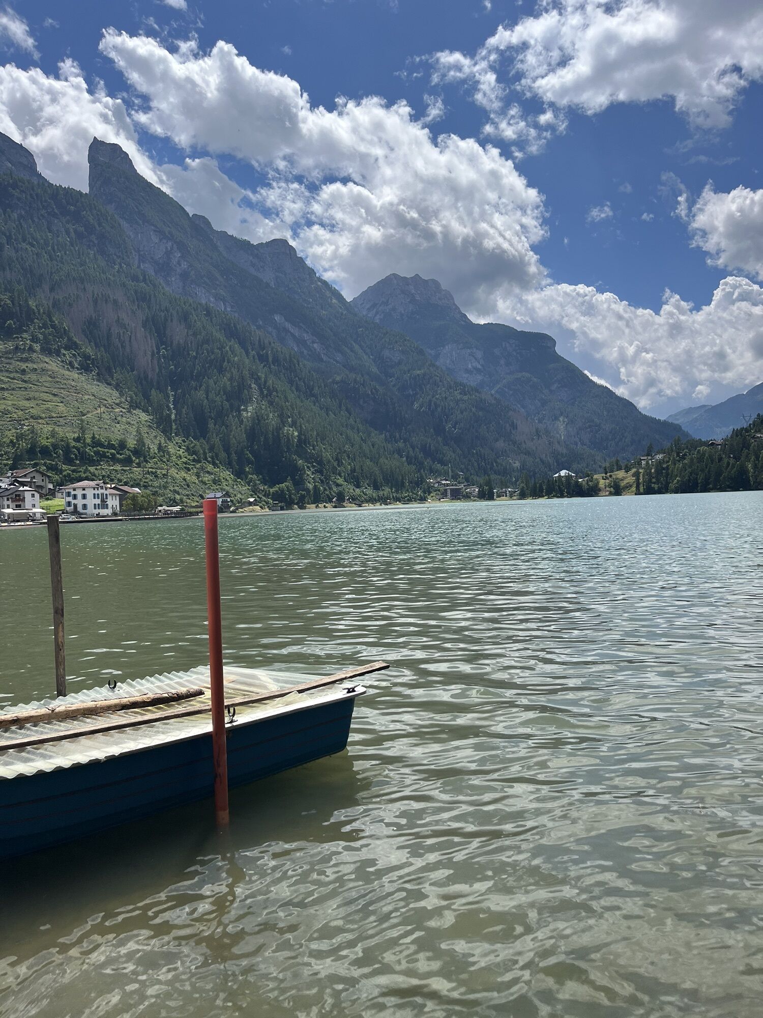
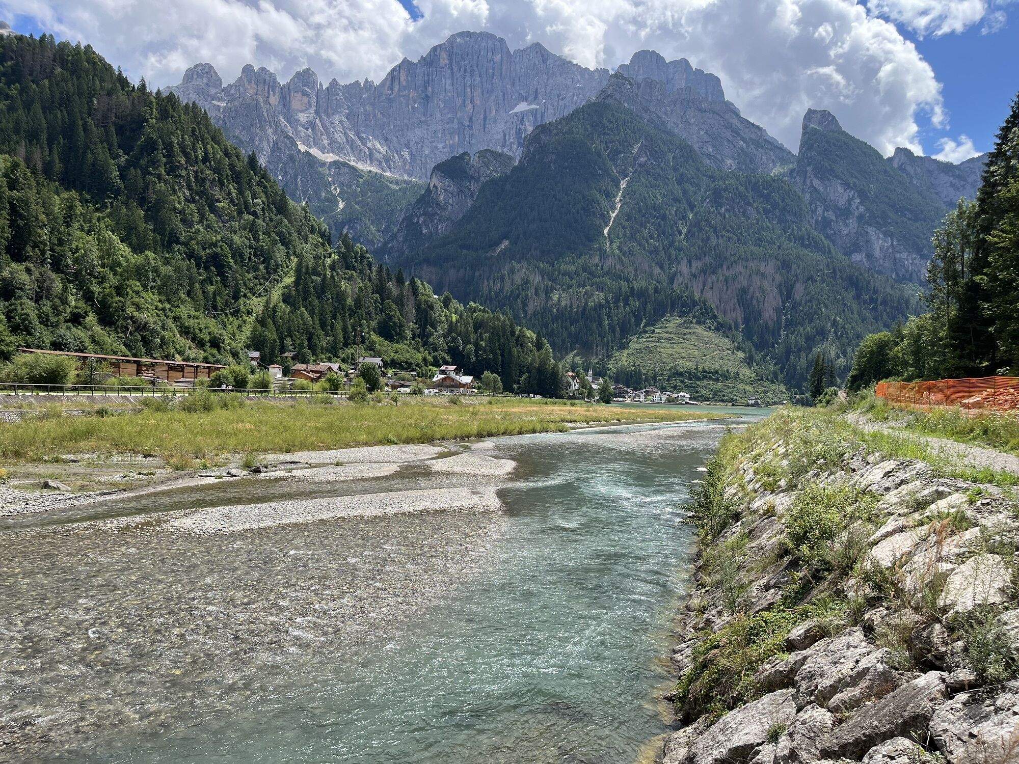
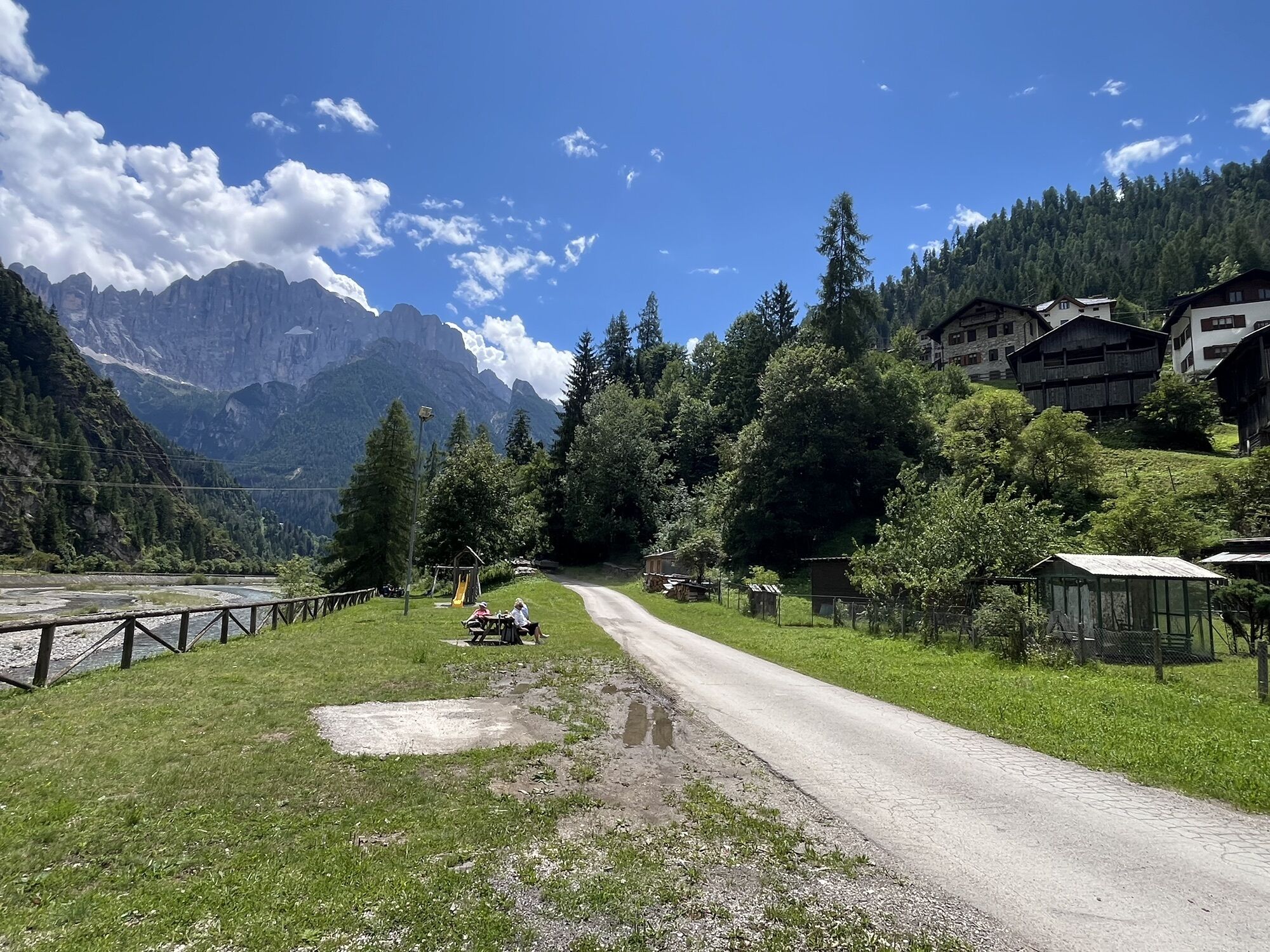
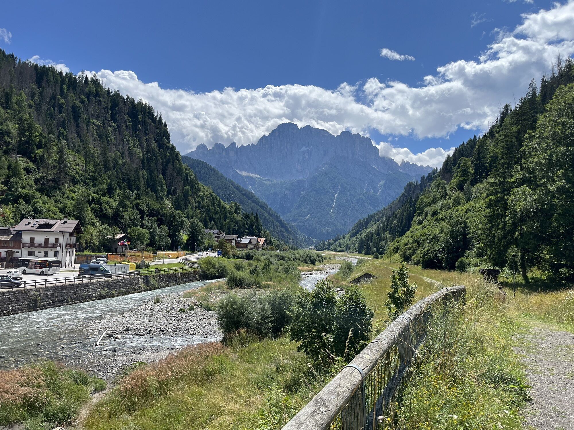
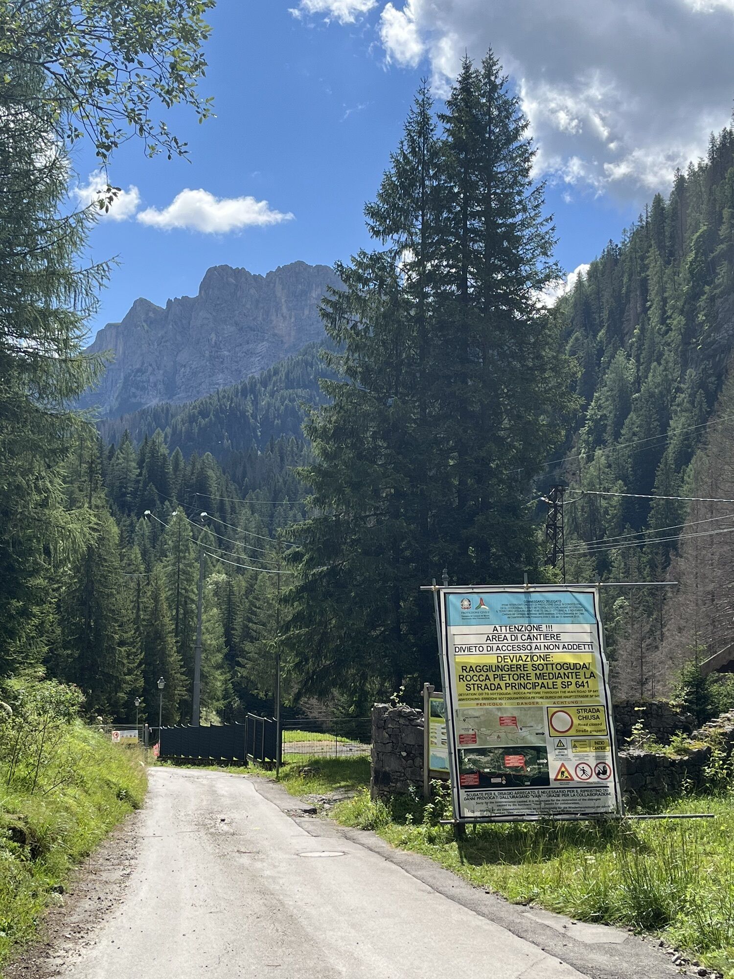
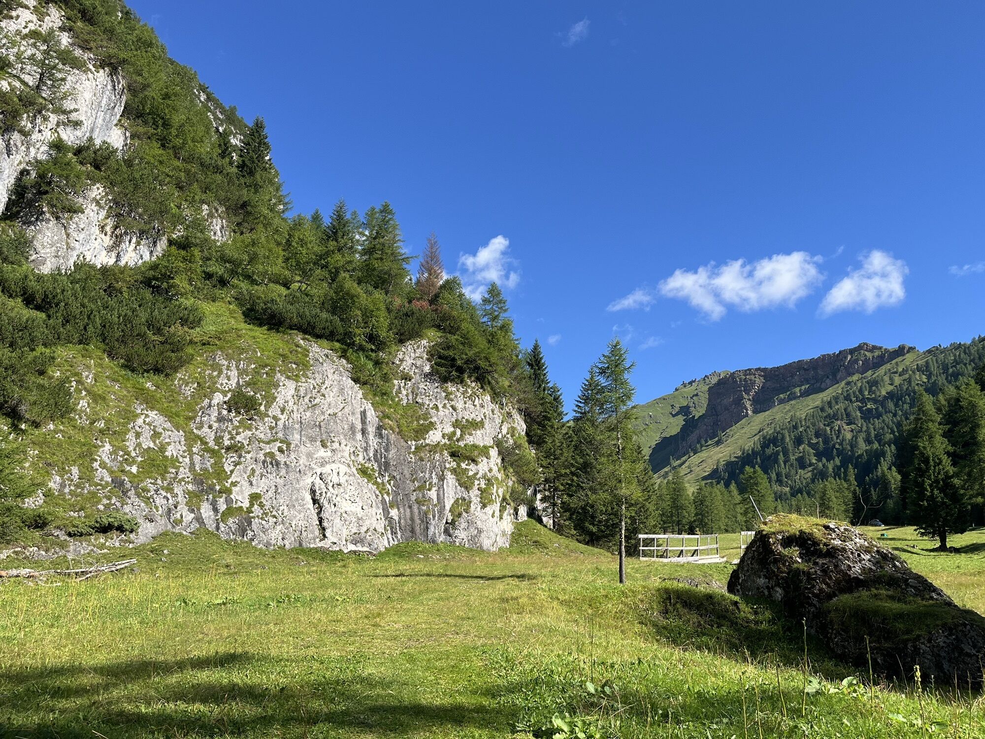
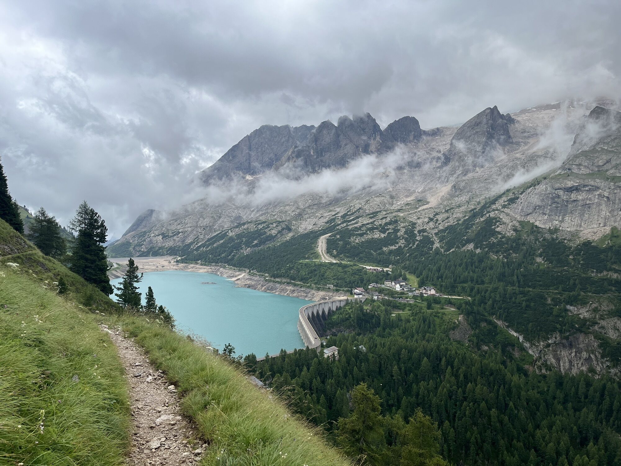
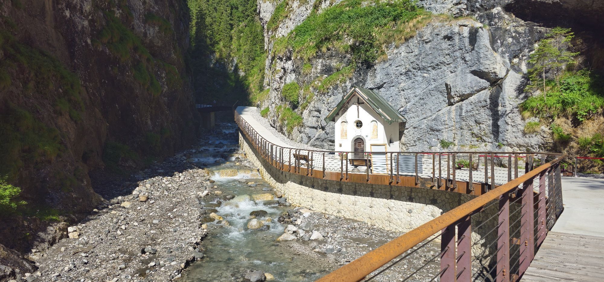
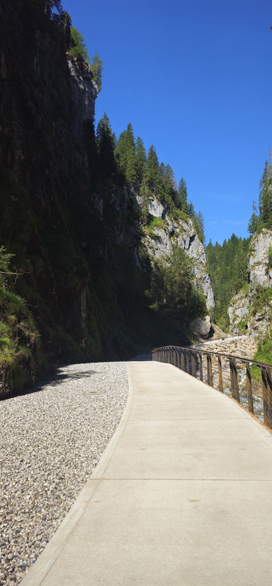
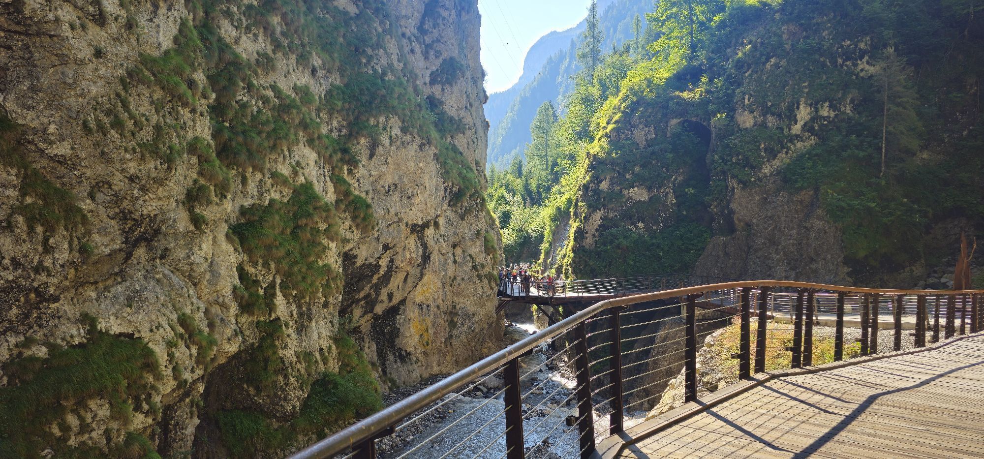
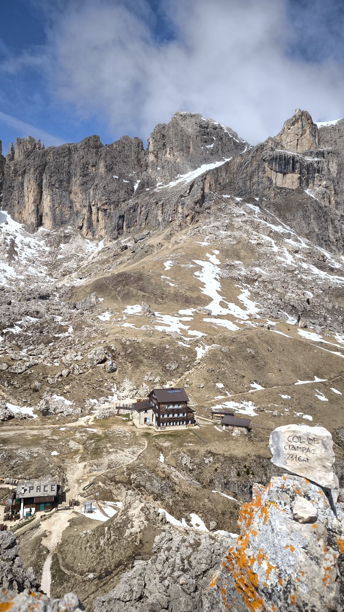
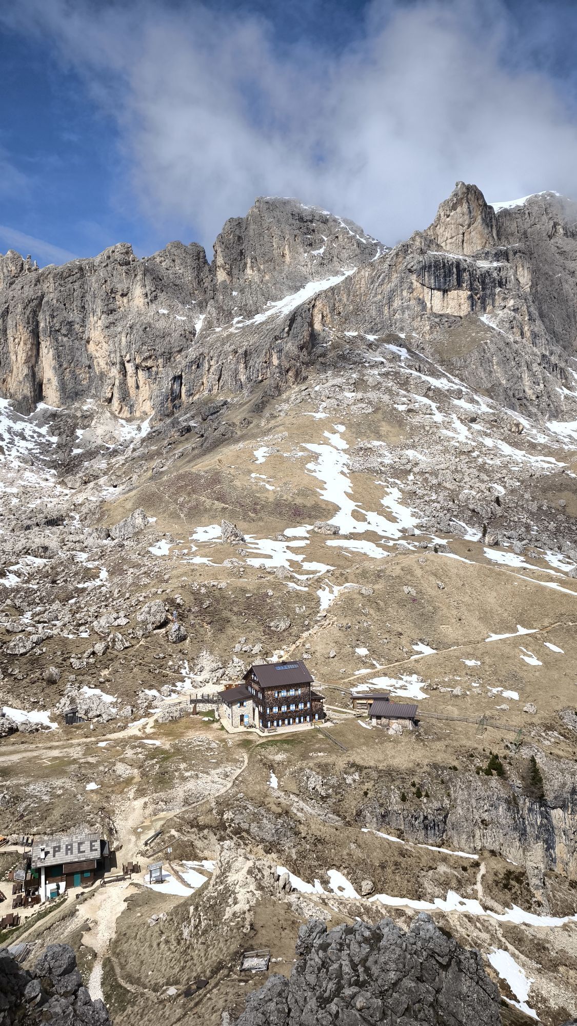

Starting from Pozza/Pera, follow the state road 48 (S.S. 48) southwards ‘till Moena. From here, pedalling for 11 km along the state road 346 (S.S. 346), which has 4 hairpin turns, reach San Pellegrino...
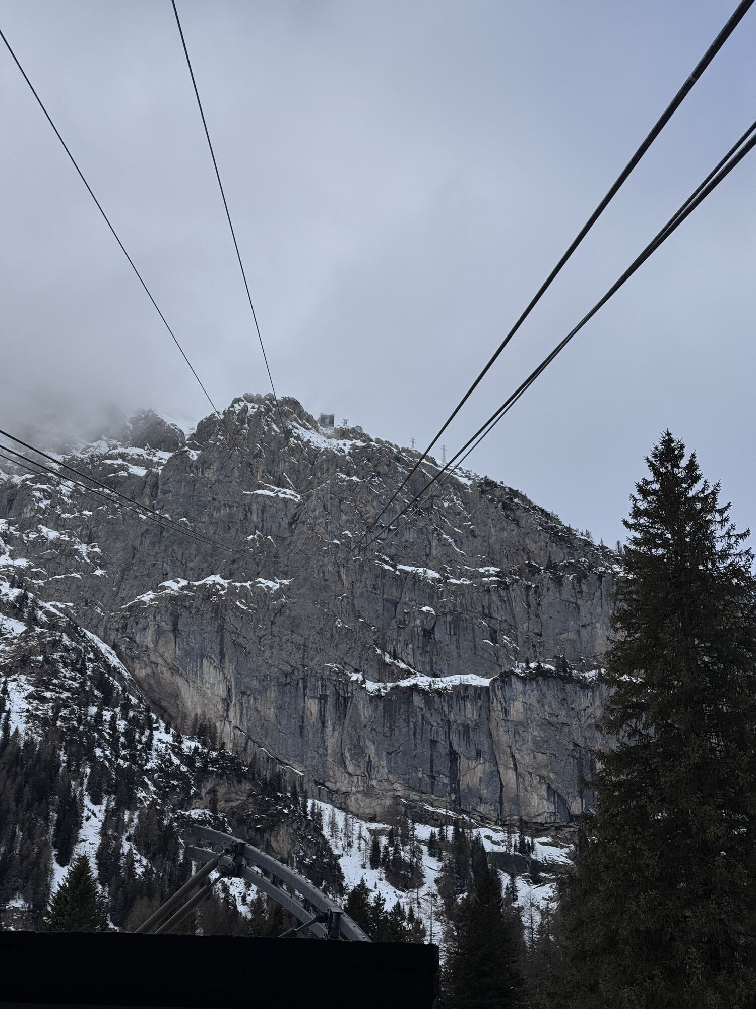
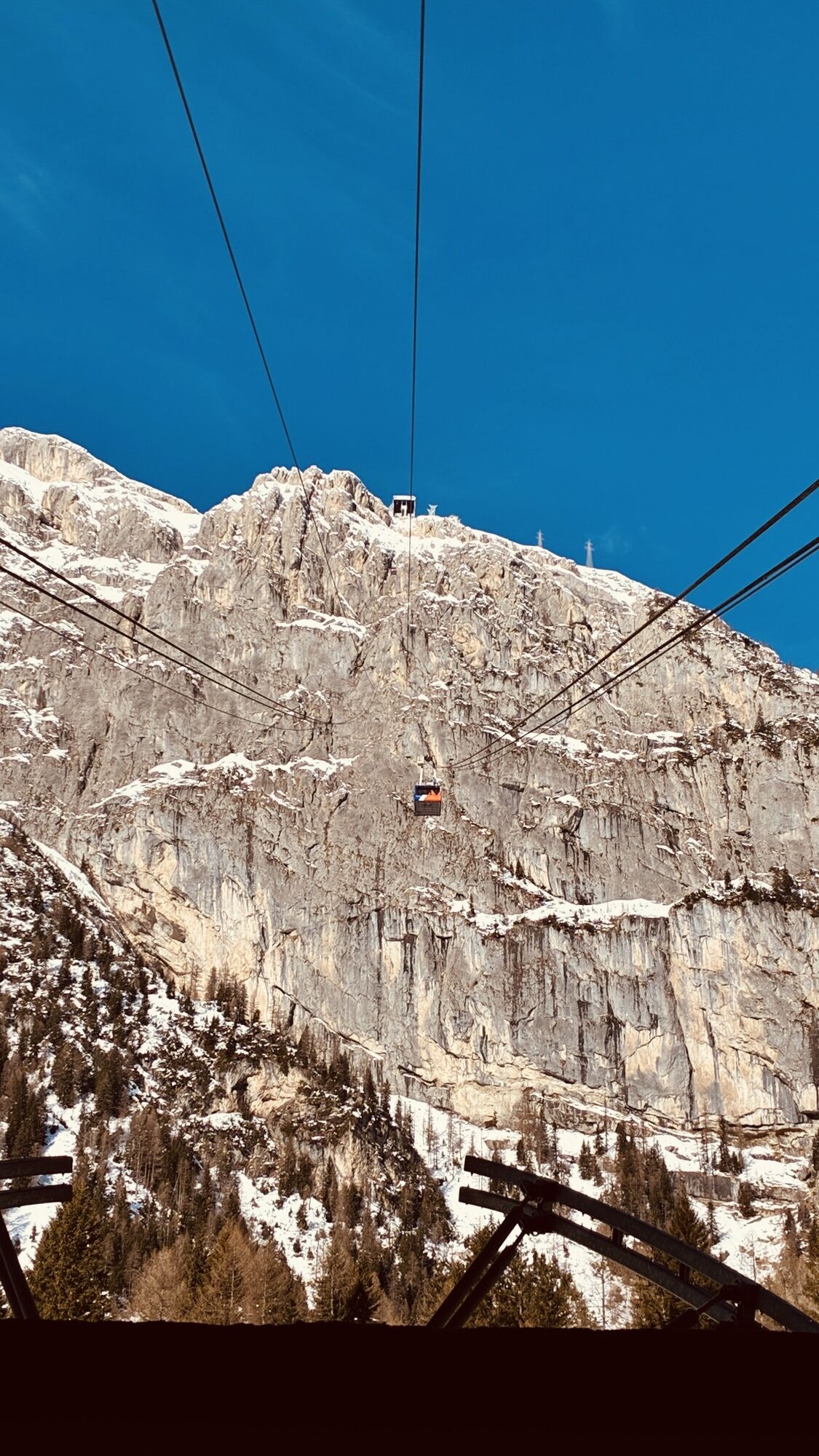
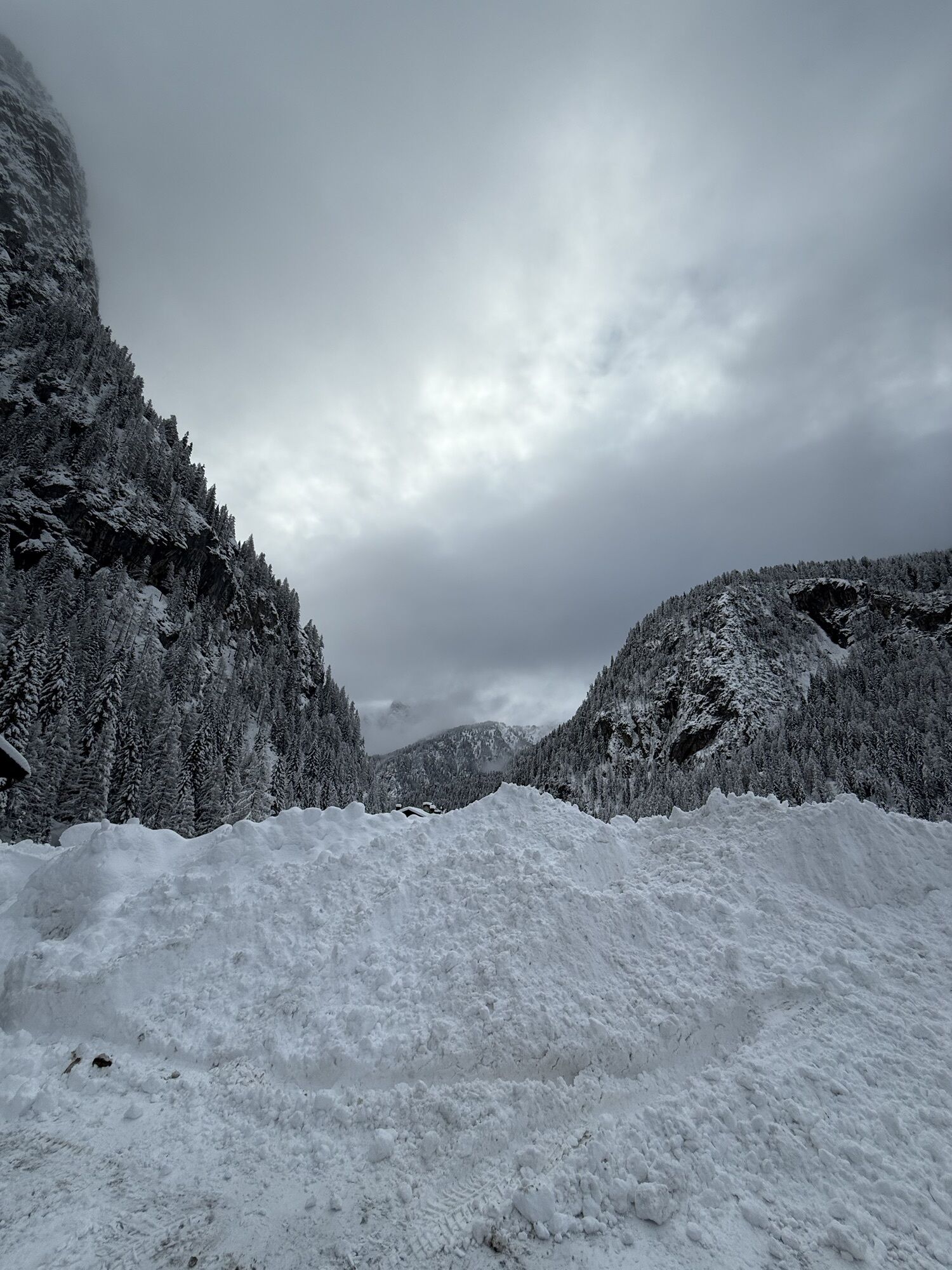
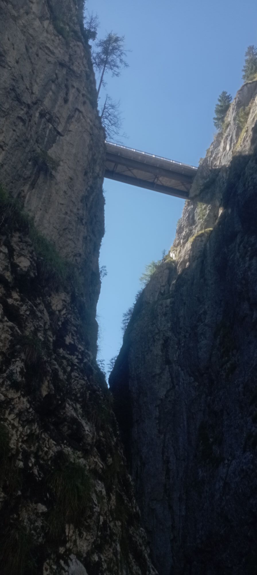
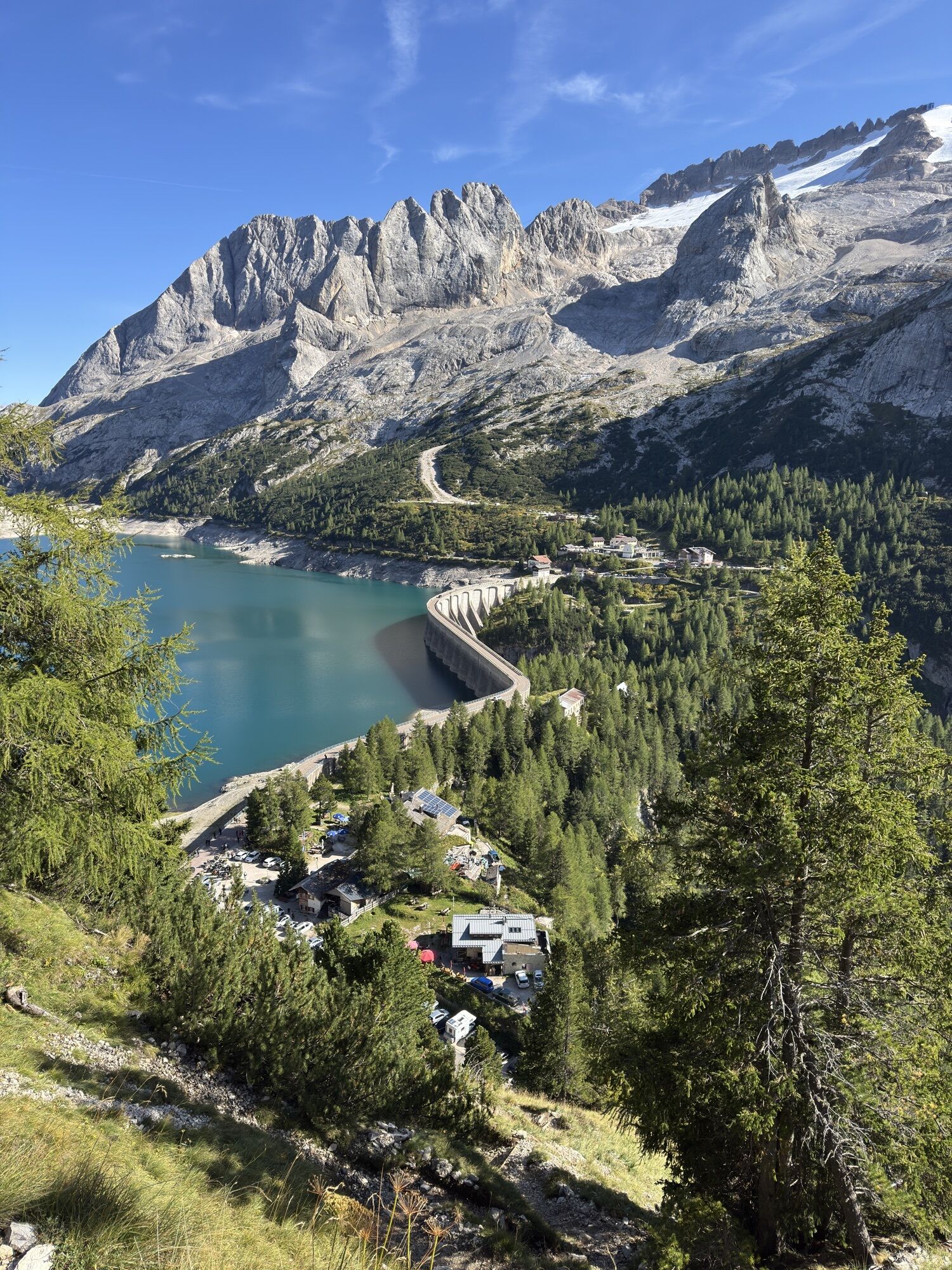
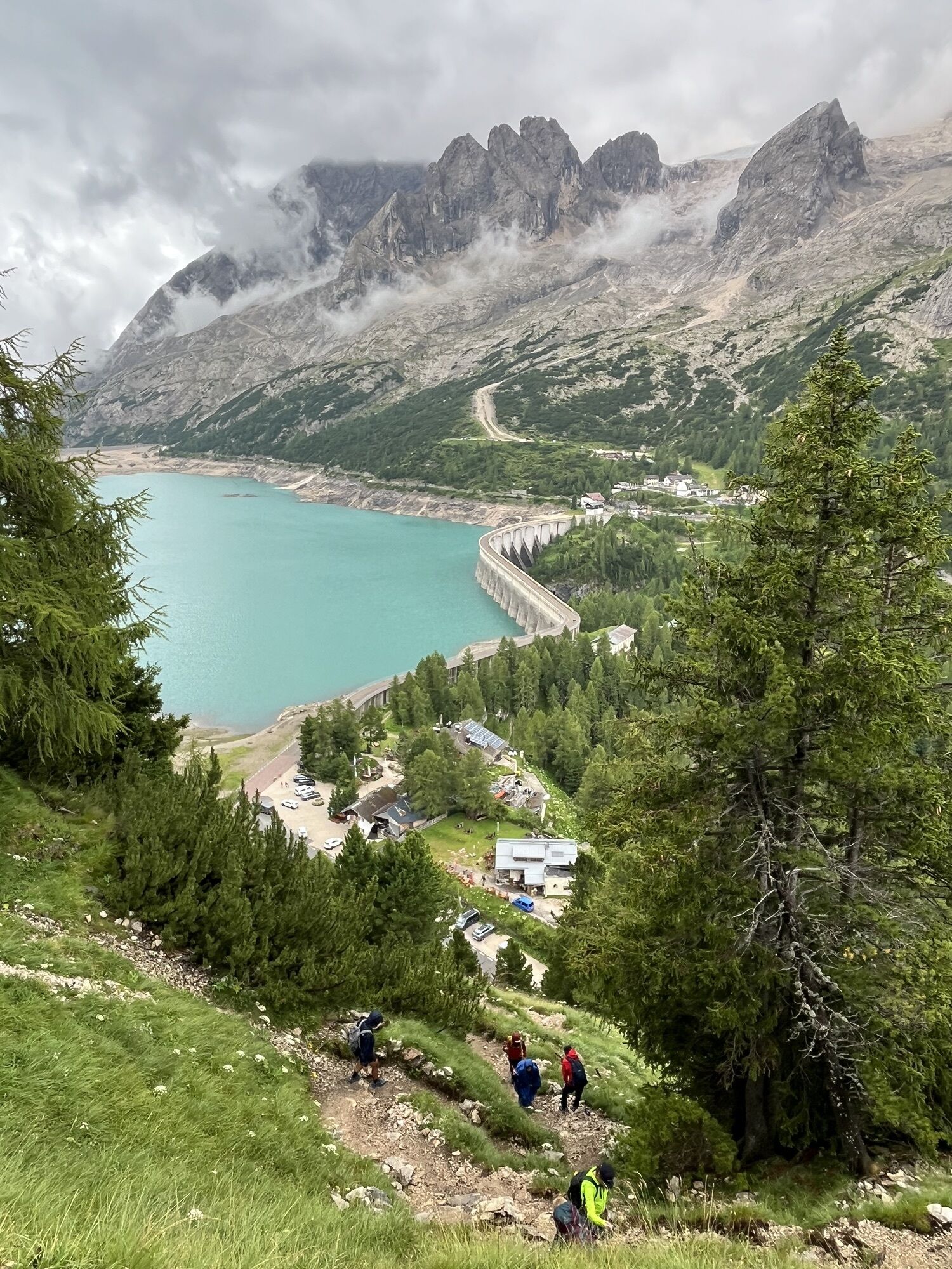
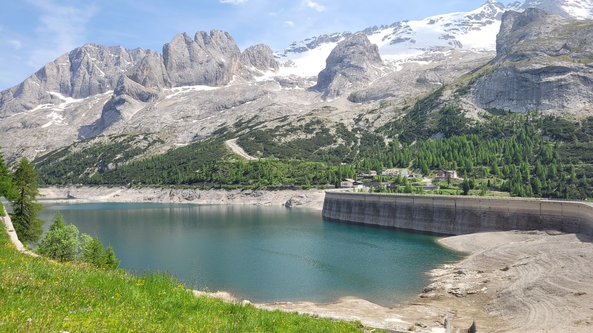
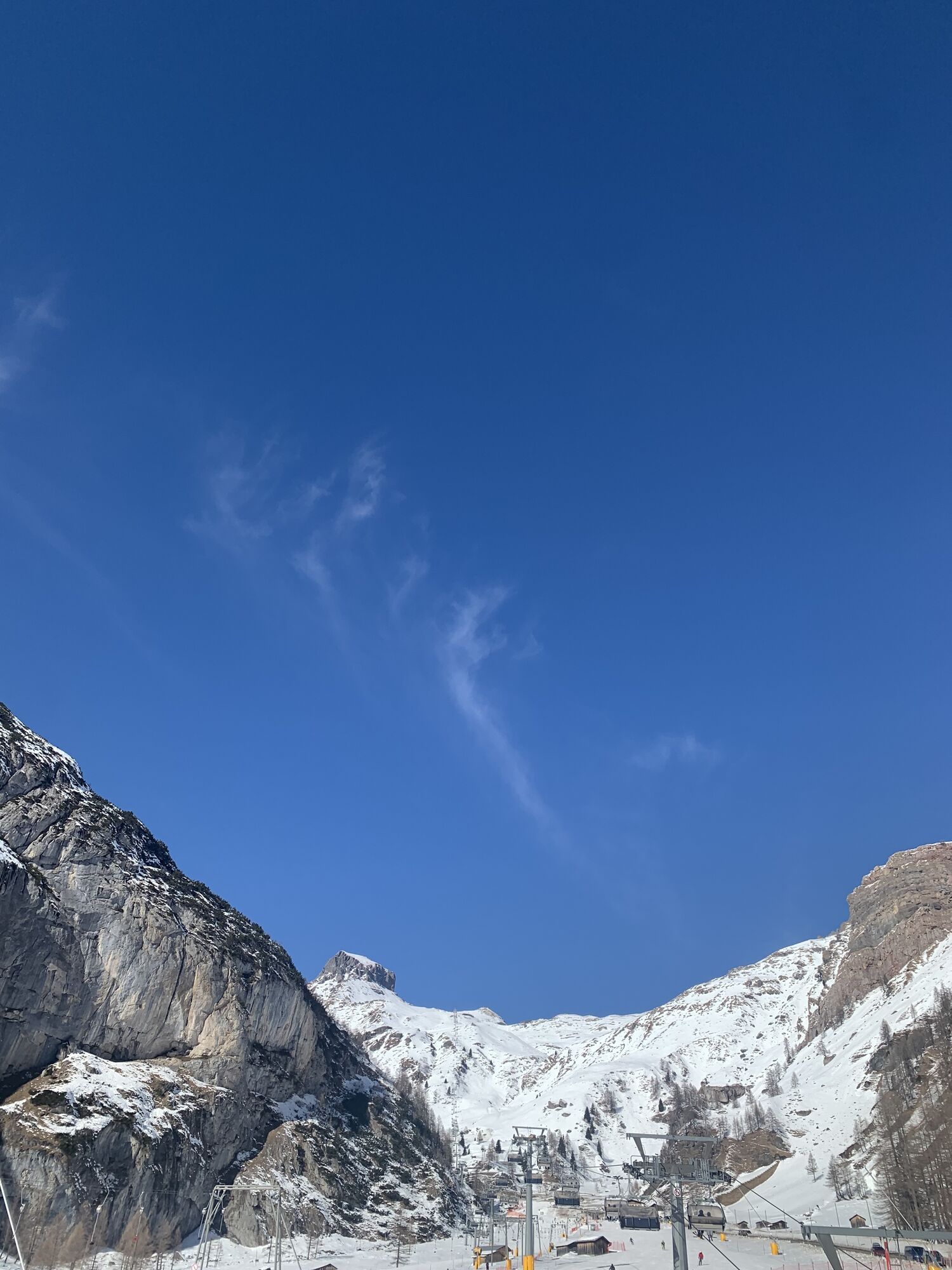
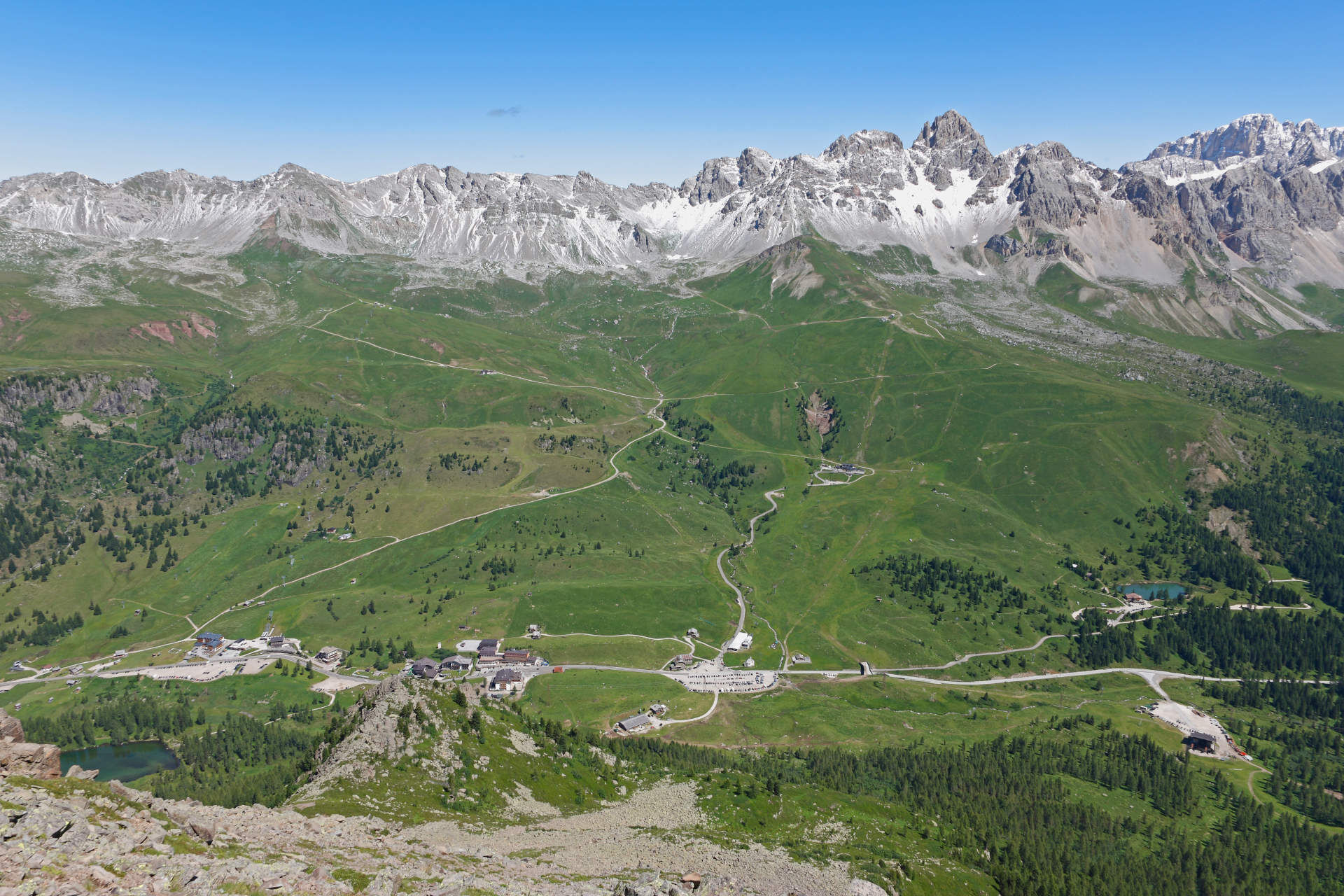
Starting from Pozza/Pera, follow the state road 48 (S.S. 48) southwards ‘till Moena. From here, pedalling for 11 km along the state road 346 (S.S. 346), which has 4 hairpin turns, reach San Pellegrino Pass, at an altitude of 1.918 m (average gradient 6,5%, with maximum peaks of 13%). Face the descent long 18 km towards the villages of Falcade and Cencenighe and take the regional road "Agordina" 203 (S.R. 203) towards Alleghe, until reaching Caprile. Climb on the provincial road 641 (S.P. 641), which goes up to Fedaia Pass, covering in 14 km more than 1.000 metres of elevation gain (average gradient 7,6%, with maximum peaks of 18%). From the pass, facing the Marmolada, descend to Canazei (average gradient 4,5%, with maximum peaks of 11% and 5 hairpin turns) and then return to Pozza.

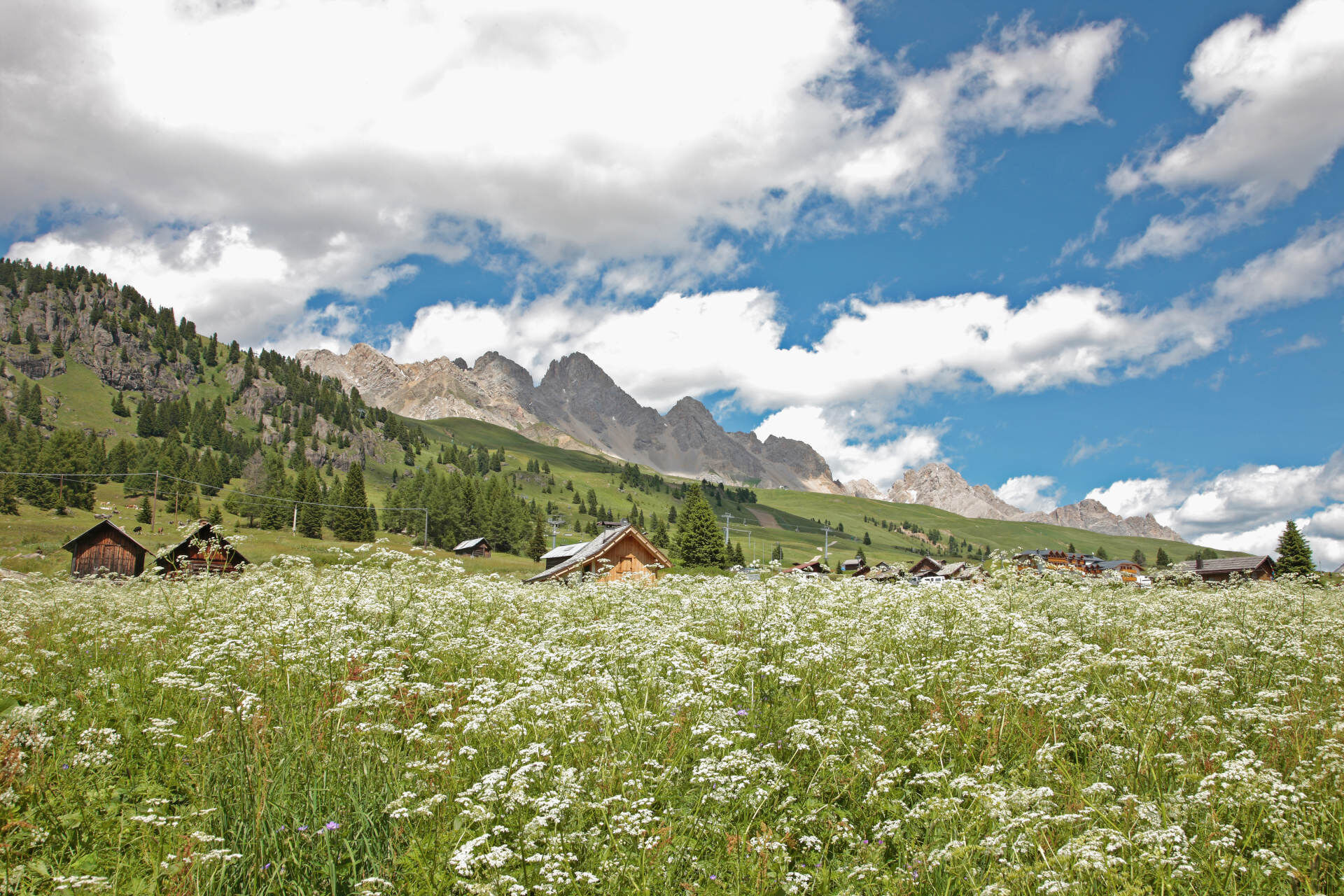
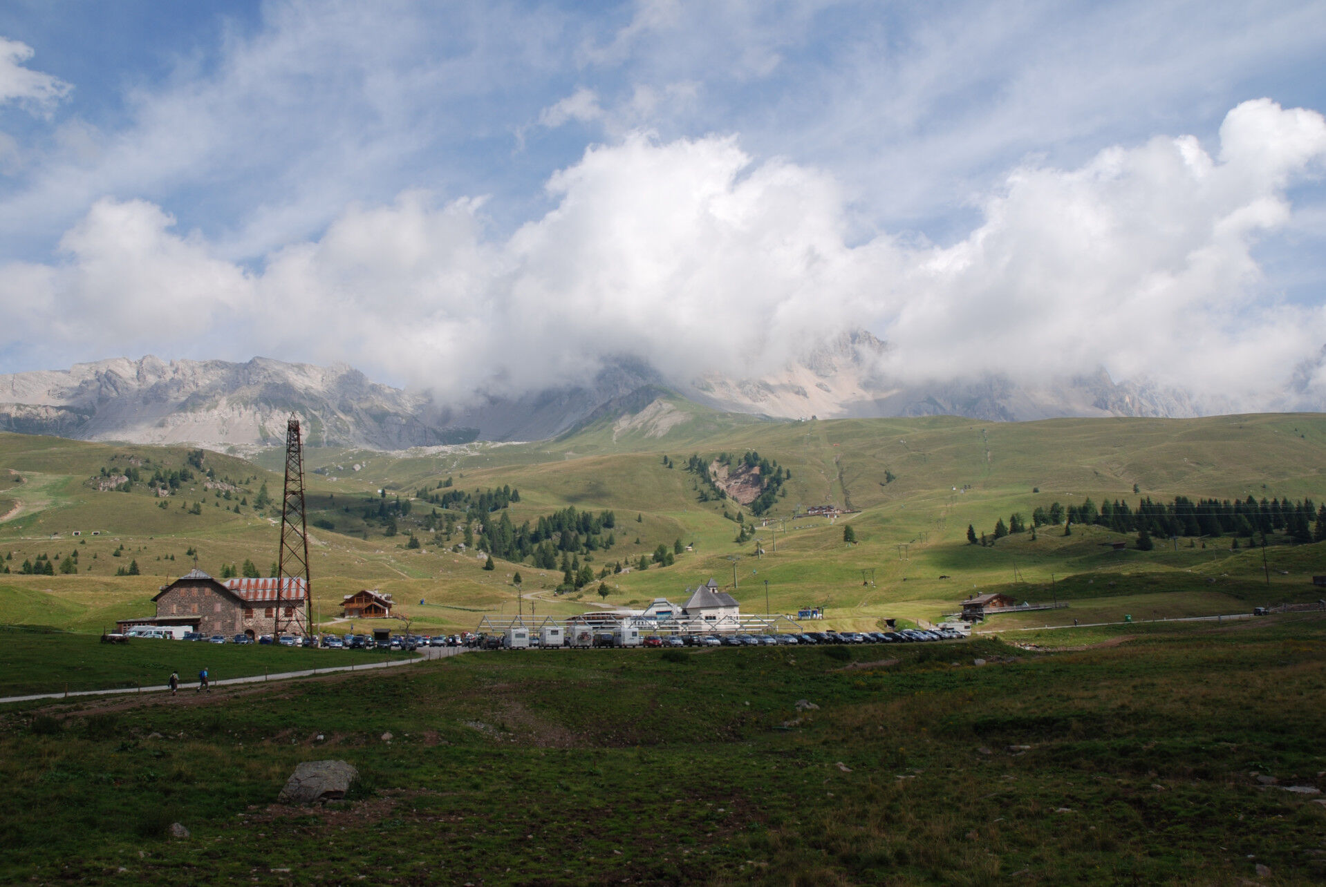
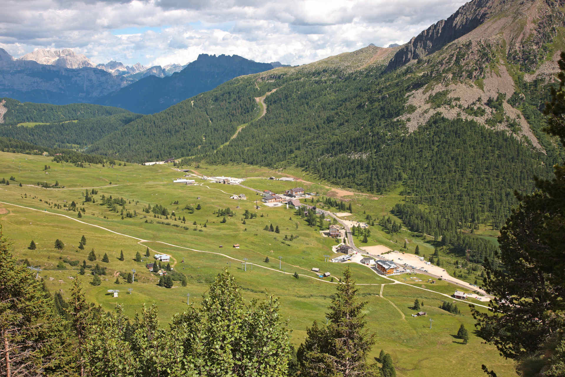
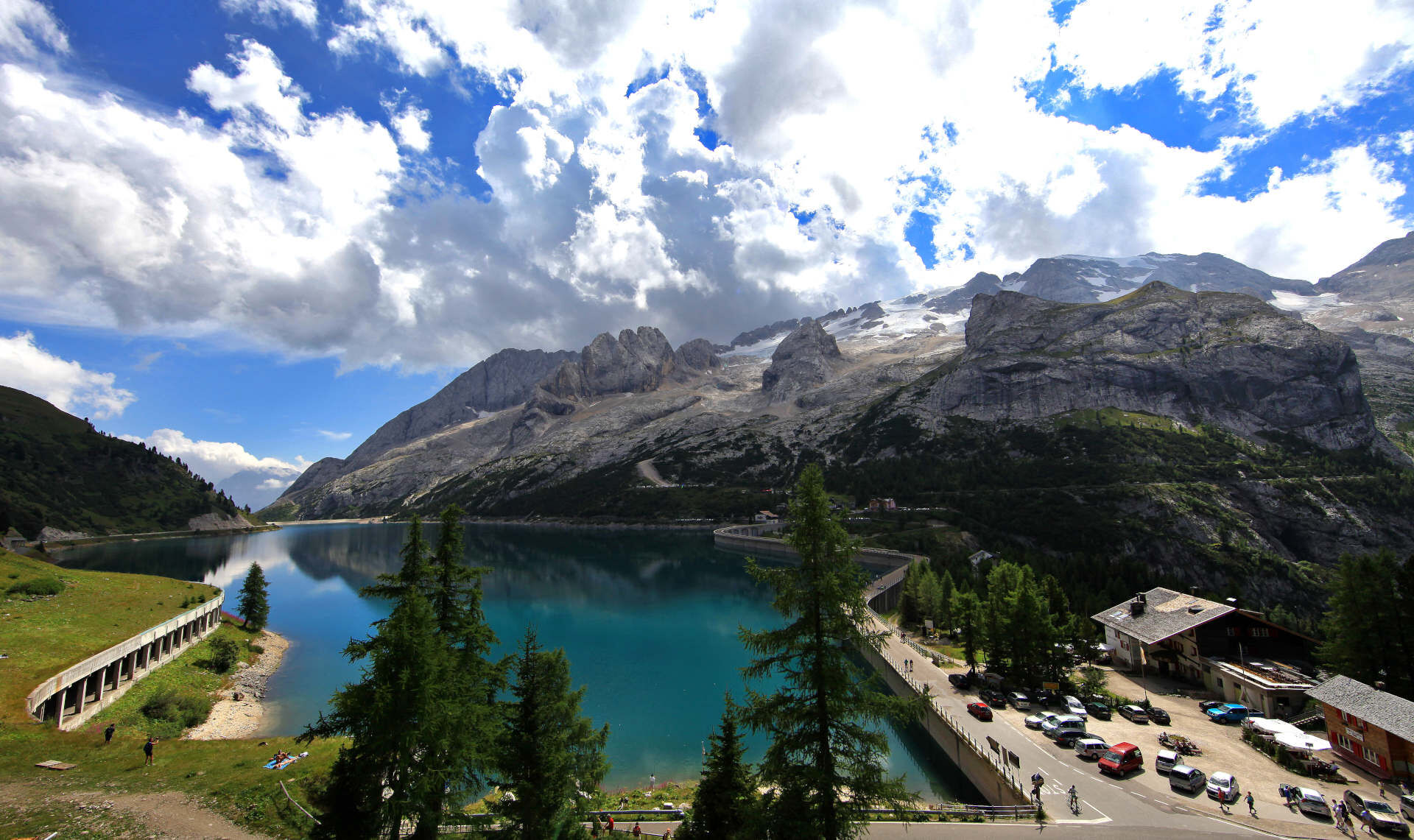
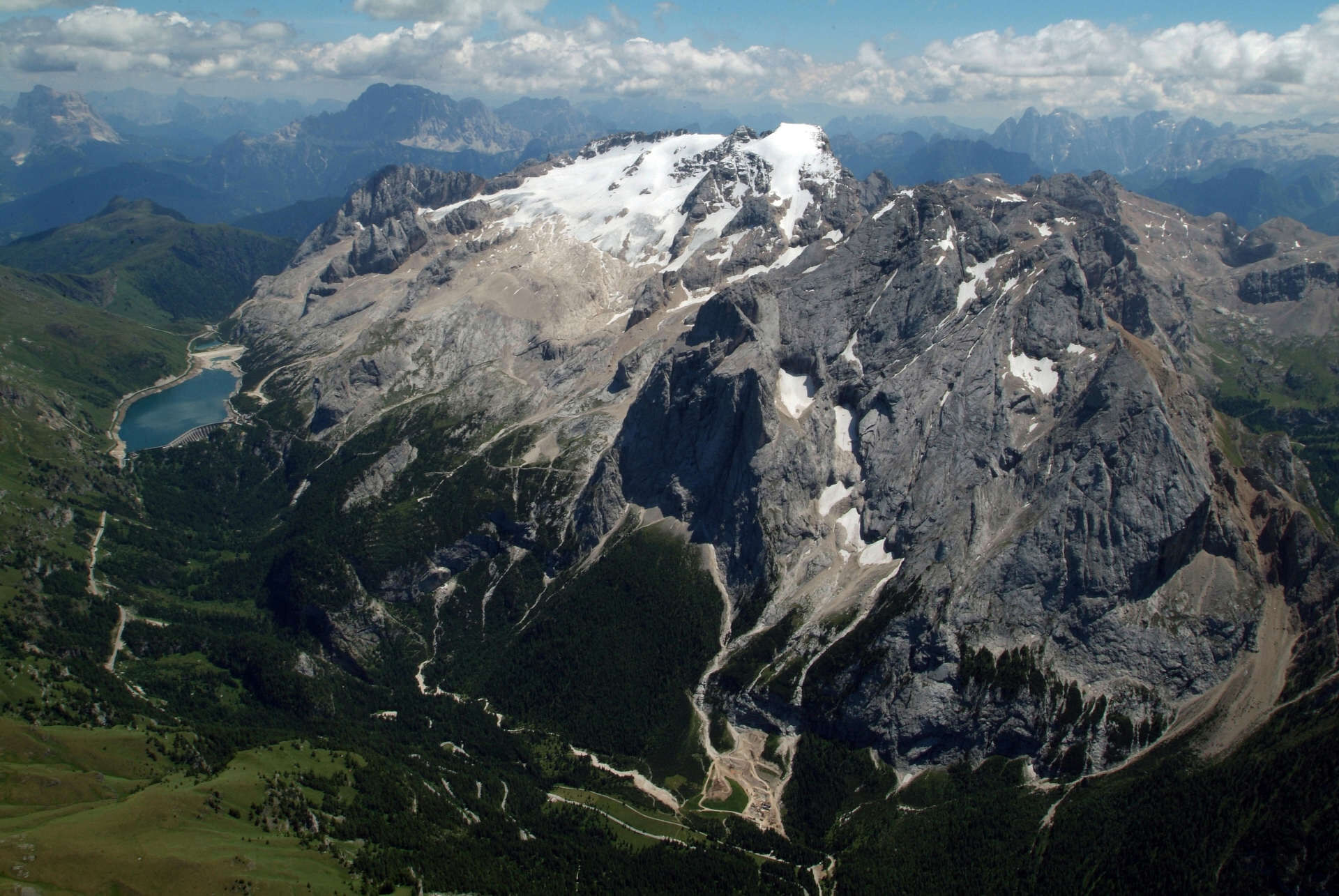
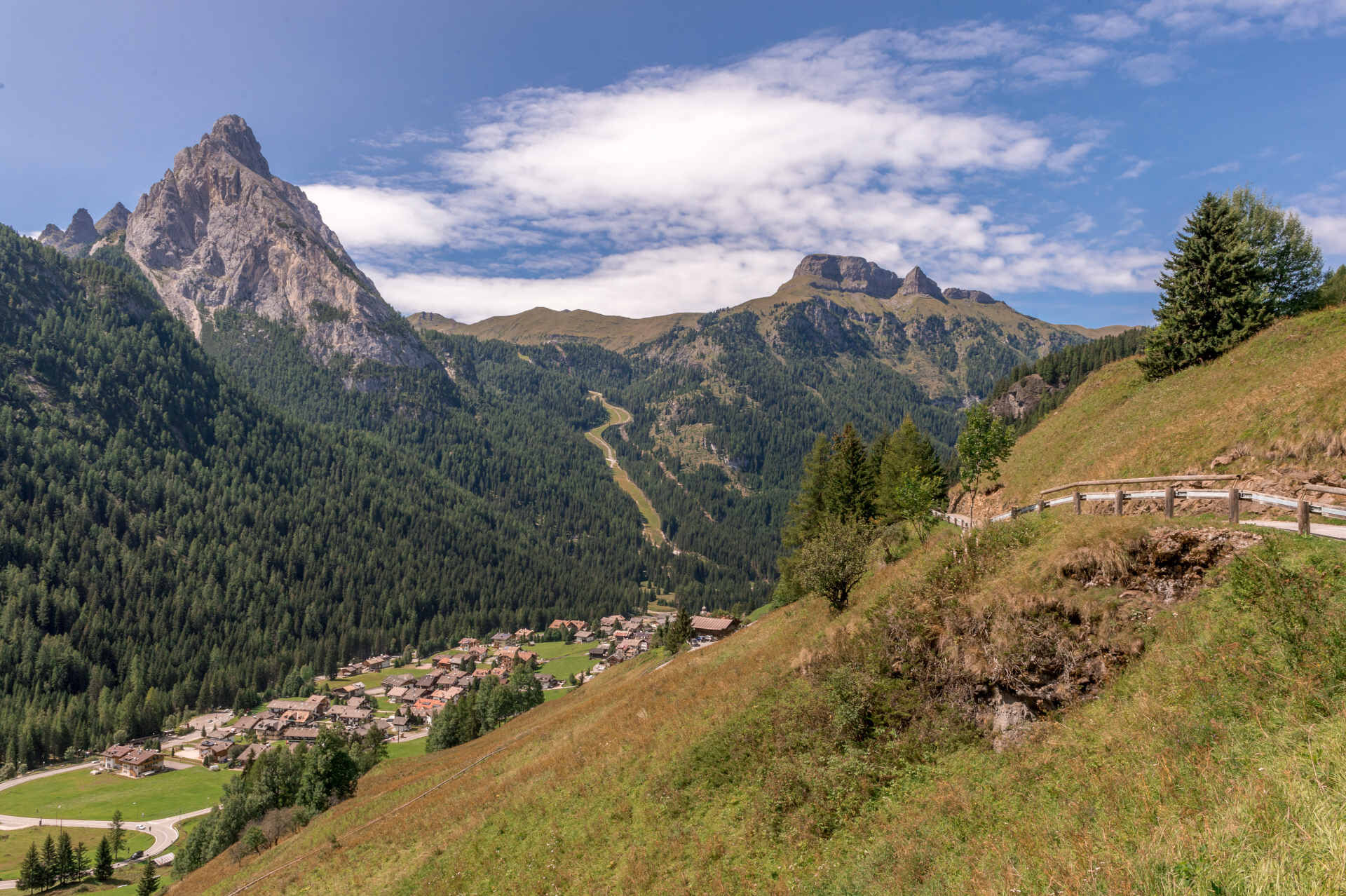
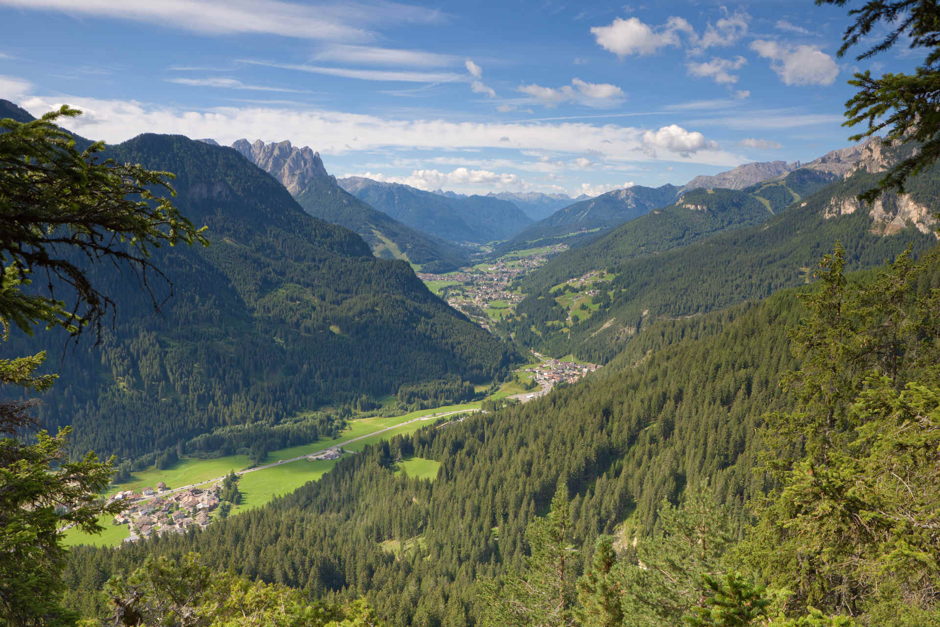
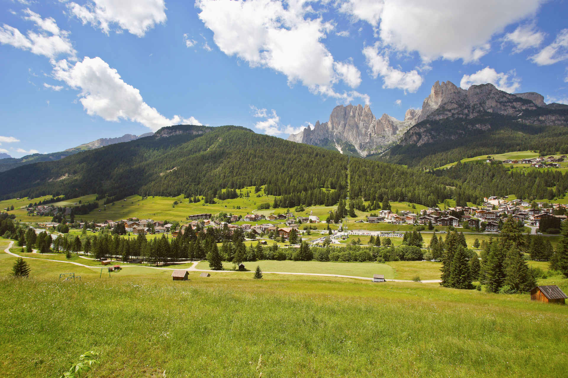
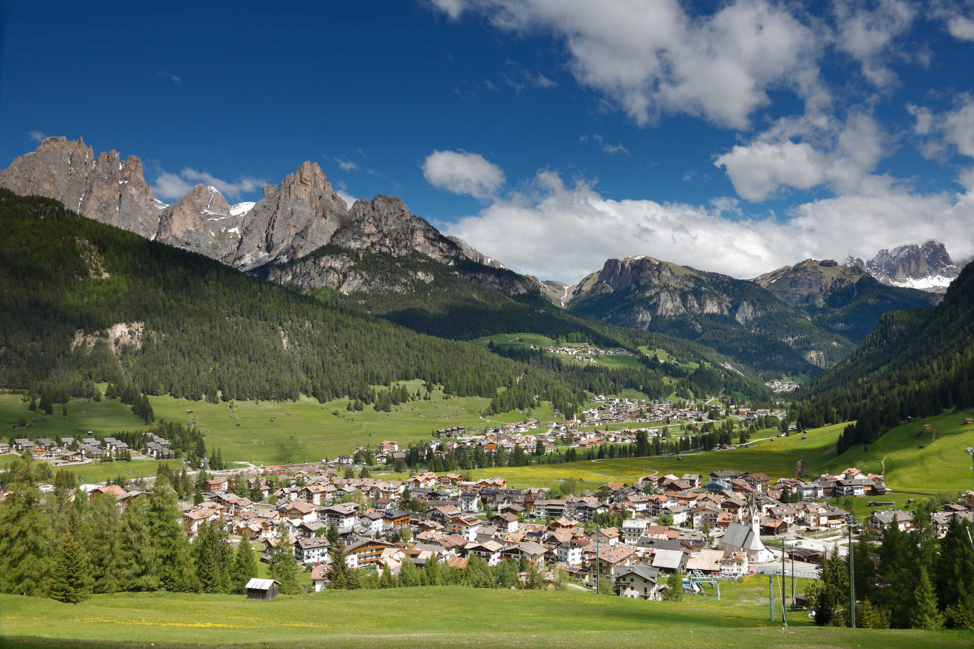

From Fedaia Pass, facing the Marmolada, descend to Canazei (average gradient 4,5%, with maximum peaks of 11% and 5 hairpin turns) and then return to the starting point.
Helmet, gloves, clothing adequate for the itinerary and the weather forecast. Charged gps with tracks. Puncture repair and multi-tool kit. In compliance with the rules of the road, bikes must absolutely be equipped with bell, headlights, taillights, and reflectors on the back, on the sides and on the pedals.
Plan a tour based on your skills and on the weather.
Proceed slowly, especially downhill, enjoy the view and the silence.
Adapt your speed, especially in turns, to the conditions of the ground.
Rely on the bike guides.
Wear adequate clothing and equipment.
Respect the environment surrounding you and bring your waste back.
Follow the rules of the road.
Be careful on the cycling and walking route.
Help those who need it.
If you come across pedestrians, warn them of your approach and slow down.
Other access points to Val di Fassa:
from A27 motorway (Venezia), exit Belluno/Ponte nelle Alpi, S.S. 203 to Agordo and S.P. 346 to San Pellegrino Pass - Moena (Val di Fassa). At the roundabout in Moena, proceed towards Canazei from A27 motorway (Venezia), exit Belluno/Ponte nelle Alpi, S.S. 203 to Agordo/Alleghe/Rocca Pietore. S.P. 641 to Fedaia Pass - Canazei coming from Arabba, S.S. 48 to Pordoi Pass - Canazei from Val Gardena, S.S. 242 to Sella Pass - CanazeiPublic transport lines SAD - Val di Fassa:
line no. 180 Pozza di Fassa - Vigo di Fassa - Carezza Pass - Bolzano line no. 471 Dolomites passes (Sella Pass, Gardena Pass, Campolongo Pass, Pordoi Pass, Fedaia Pass). Service available in summer onlyFree parking at the fire station in Pera (Strada Dolomites).
5
Strèda Roma, 36
38032 Canazei (TN)
Phone +39 0462 609500
info@fassa.com
www.fassa.com
Refreshment points along the route. E-bike Bosch Power Station by the valley station of Col Margherita cable car.
From Pozza/Pera to Soraga and from Fontanazzo to Pozza/Pera, possible detour on paved cycling-and-walking route.
Spletne kamere s turneje
-
Col dei Rossi
-
Marmolada
-
Ciampedie - Rosengarten
-
Ciampedie - Rosengarten
-
Ciampedie - Rosengarten
-
Ciampedie - Rosengarten
-
Col Margherita
-
Col Margherita
-
Col Margherita
-
Le Cune
-
Le Cune
-
Le Cune
-
Le Cune
-
Le Cune
-
Le Cune
-
Zoldo Alto - Pecol
-
Santa Fosca - Campo Scuola
-
Falcade
-
Le Cune
-
Rifugio Maria Sass Pordoi
-
Arabba - Porta Vescovo
-
Alleghe - Civetta
-
Alleghe
-
Le Buse
-
Le Buse
-
Le Buse
-
Arrivo funivia col Margherita
-
Lago Cavia
-
Seggiovia Lago cavia Col Margherita
-
Col Margherita
-
Col Margherita
-
Col Margherita
-
Col Margherita
-
Val Gardena - Citta dei Sassi
-
Pordoi - Pass
-
Catinaccio - Rosengarten Pra Martin
-
Ciampedie - Rosengarten
-
Ciampedie - Rosengarten
-
Ciampedie - Rosengarten
Pridobite vpogled
Vedno v živo na mestu z več kot 9.500 spletnimi kamerami. bergfex Kot uporabnik Pro si lahko zdaj ogledate ustrezne spletne kamere za številne izlete v aplikaciji izleti iz. Tako si lahko neposredno ogledate trenutne razmere.

Priljubljeni izleti v okolici
-
4.8
Passo Giau roundtrip
srednjaPohodništvo 8.10 km -
4.7
Five Towers Tour (Averau, Nuvolau and Scoiattoli refuges) from Giau Pass
srednjaPohodništvo 10.8 km -
4.5
Lago Federa
srednjaPohodništvo 14.6 km -
5.0
Magnifique et très variée
srednjaPohodništvo 12.6 km -
5.0
Passo di Giau
svetlobaVia ferrata 8.37 km -
3.4
Sub-Lieutenant Mario Fusetti Via Ferrata
srednjaVia ferrata 4.22 km -
4.3
San Pellegrino Pass - Fuciade - Val Fredda - Malga Boer - San Pellegrino Pass
srednjaPohodništvo 11.1 km -
4.3
Passo Pordoi Loop
srednjaPohodništvo 13.1 km -
5.0
"Sass de Stria" mountain
srednjaTematska pot 2.65 km -
5.0
San Pellegrino Pass - Fuciade - San Pellegrino Pass
srednjaPohodništvo 6.83 km
Pohodništvo in sledenje


Ne zamudite ponudb in navdiha za naslednje počitnice
Vaš e-poštni naslov je bil dodan na poštni seznam.





