


Vigo di Fassa - Costalunga/Carezza Pass - Tires - Castelrotto - Ortisei - Sella Pass - Canazei - Vigo di Fassa
Stopnja težavnosti: 5
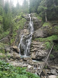
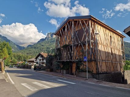
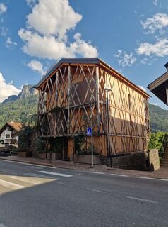
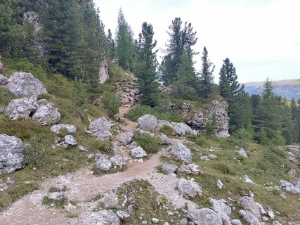
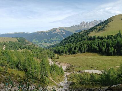
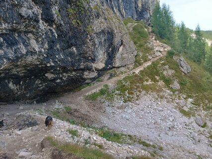
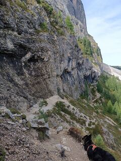
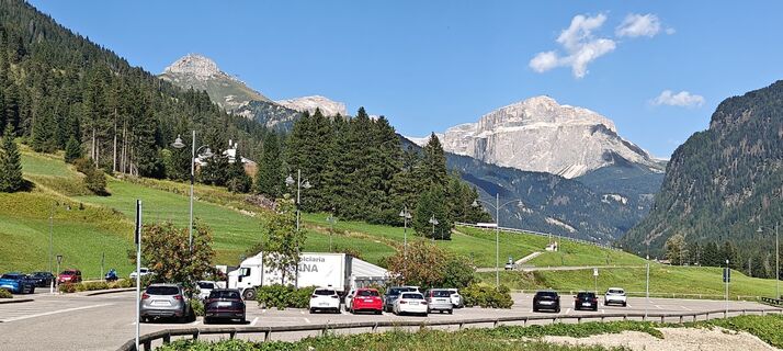
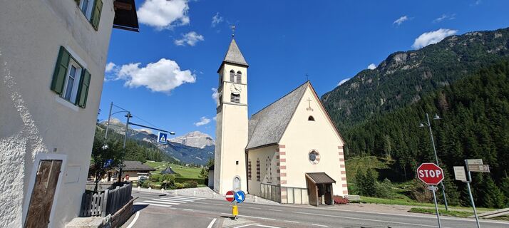
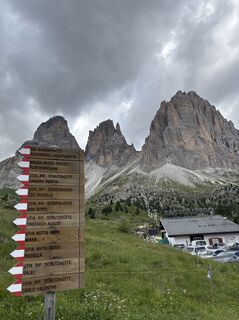
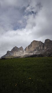
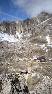
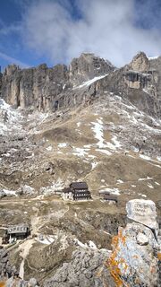
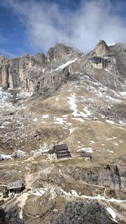
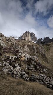
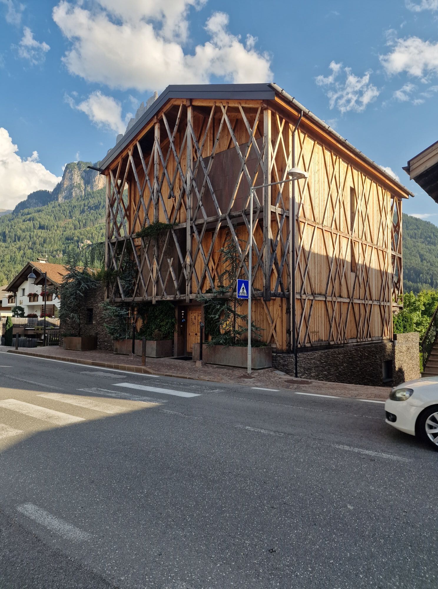
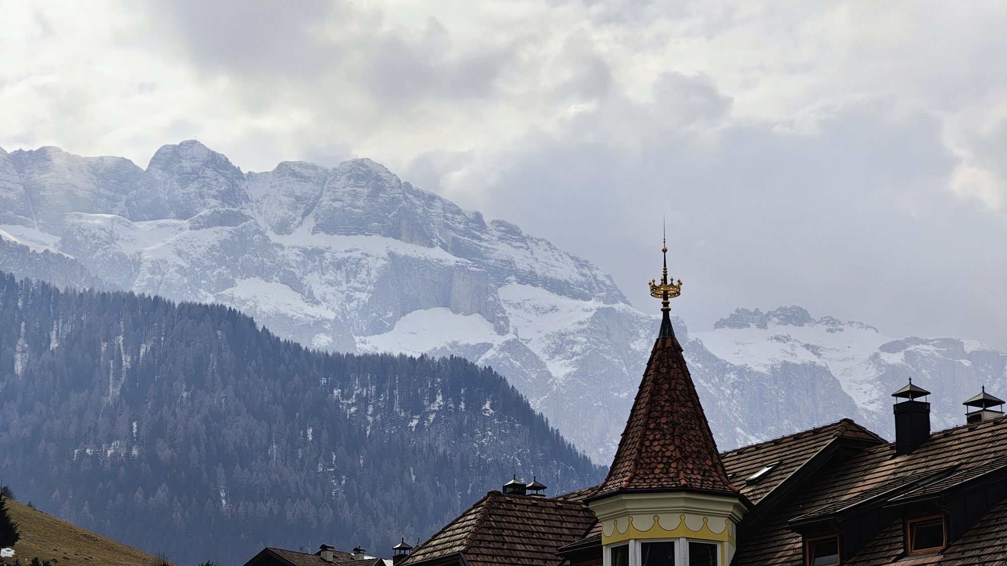
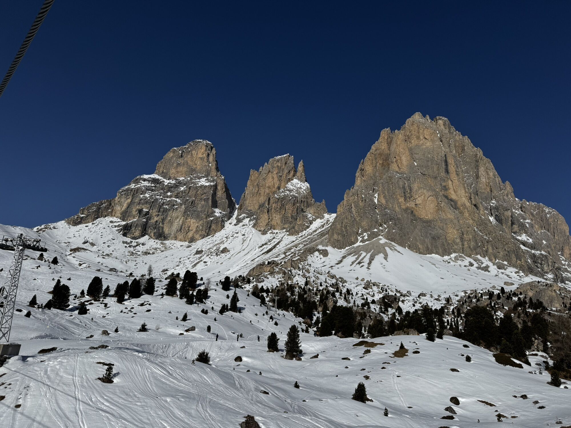
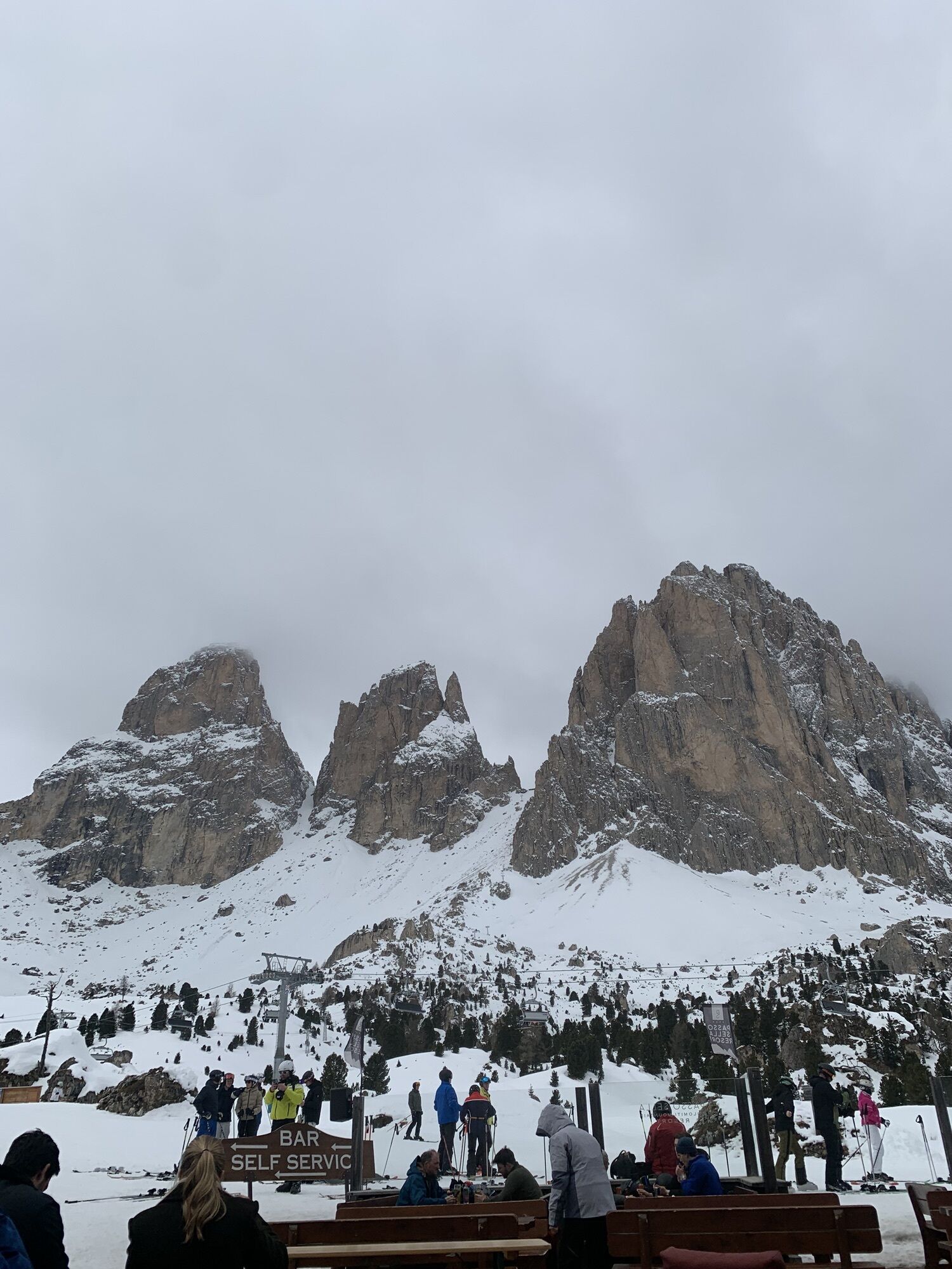
Fotografije naših uporabnikov
-

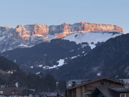
 © Gerry GirardiUstvarjeno na 11.11.2025
 -

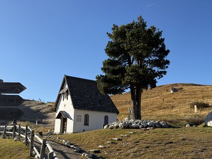
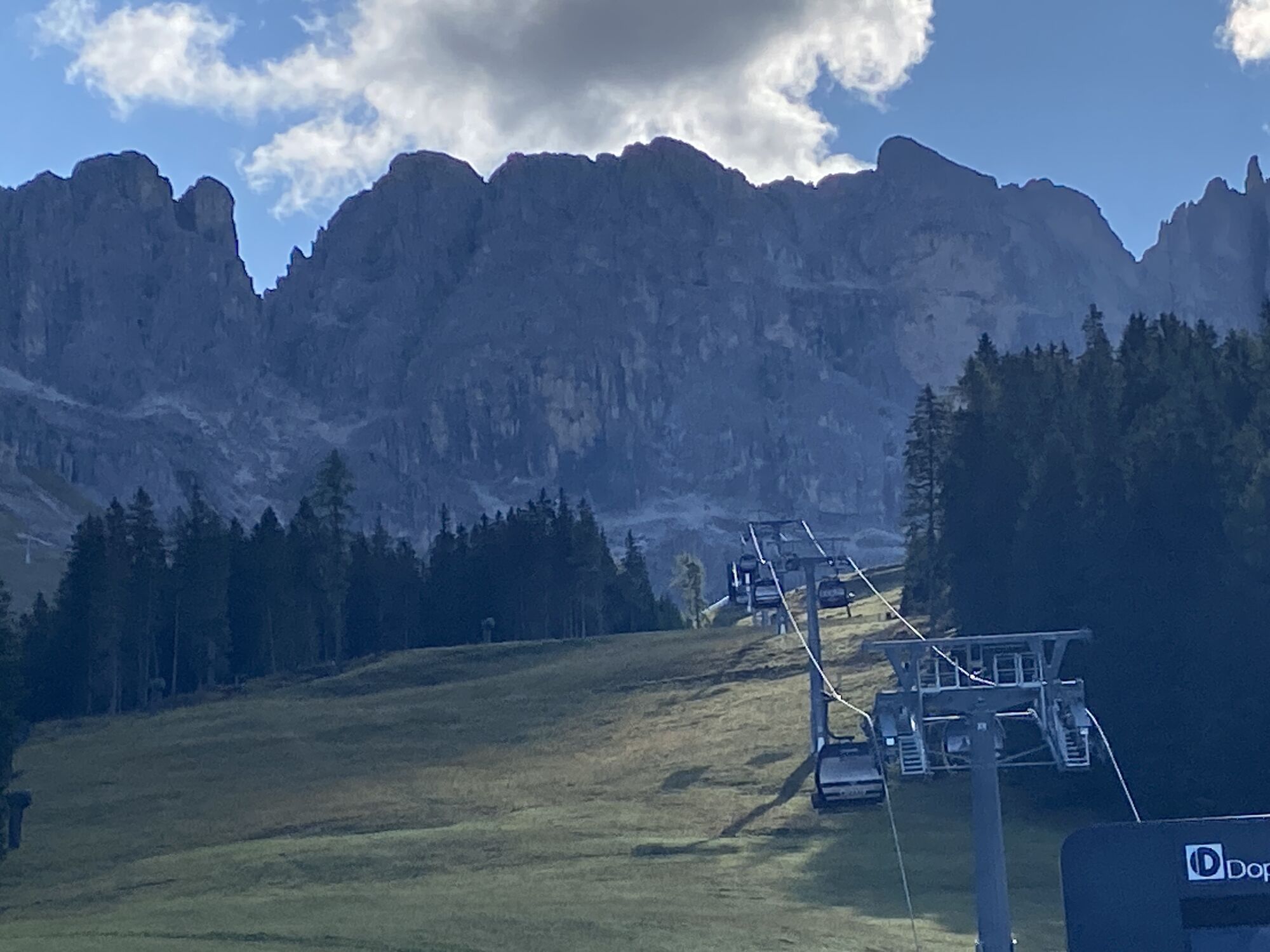
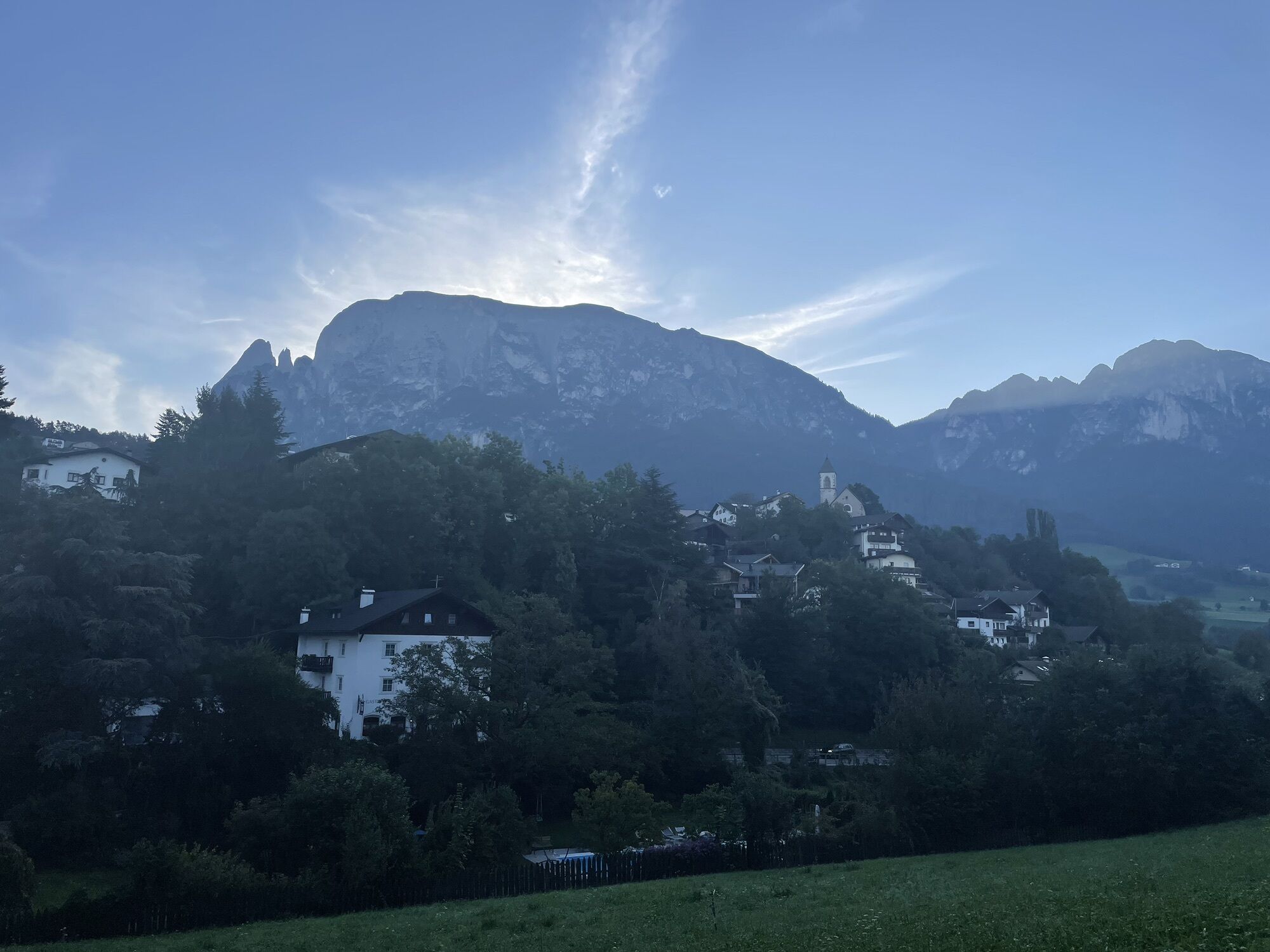
 © DolomitiMikeUstvarjeno na 19.08.2025
 -
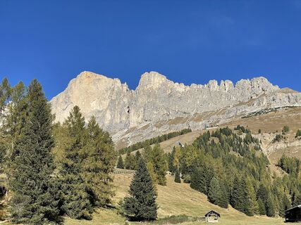
 © Walter TinkhauserUstvarjeno na 13.05.2025
 -
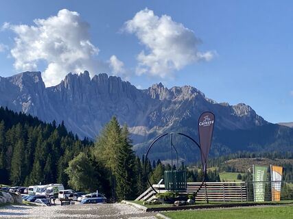
 © Walter TinkhauserUstvarjeno na 13.05.2025
 -
 © ProbsgUstvarjeno na 08.06.2024
 -
 © Klaus TipotschUstvarjeno na 10.10.2024
 -
 © Pietro cantiniUstvarjeno na 20.08.2024
 -

 © Gaspare GrassaUstvarjeno na 21.02.2024
 -
 © Jürgen StreifingerUstvarjeno na 20.07.2023
 -
 © Jürgen StreifingerUstvarjeno na 20.07.2023
 -
 © Jürgen StreifingerUstvarjeno na 20.07.2023
 -
 © Harry BentleyUstvarjeno na 31.03.2026
 -
 © Bartłomiej Szabla 1Ustvarjeno na 21.03.2026
 -
 © Nina JuliusUstvarjeno na 16.03.2026
 -
 © Steffen MaierUstvarjeno na 08.03.2026
 -
 © Jonas AdamUstvarjeno na 24.02.2026
 -
 © KübeljohannUstvarjeno na 20.02.2026
 -
 © EffeUstvarjeno na 01.02.2026
 -
 © Daniel NohnsUstvarjeno na 31.01.2026
 -
 © Ina ScheunemannUstvarjeno na 30.01.2026
 -
 © Enrico ZinkeUstvarjeno na 20.01.2026
 -
 © Norbert HerbigUstvarjeno na 17.10.2025
 -
 © Guglielmo BattoclettiUstvarjeno na 11.10.2025
 -

 © Sandra WagemansUstvarjeno na 04.10.2025
 -
 © Peter WaltrinyUstvarjeno na 11.09.2025
 -
 © Peter WaltrinyUstvarjeno na 11.09.2025
 -

 © Anne-Lise GarnierUstvarjeno na 07.09.2025
 -
 © Kirsten GenglawskiUstvarjeno na 07.09.2025
 -
 © Kirsten GenglawskiUstvarjeno na 07.09.2025
 -
 © Kirsten GenglawskiUstvarjeno na 07.09.2025
 -
 © Kirsten GenglawskiUstvarjeno na 07.09.2025
 -
 © Daniele SpeziaUstvarjeno na 26.08.2025
 -
 © Daniele SpeziaUstvarjeno na 26.08.2025
 -
 © Dagmar StammlerUstvarjeno na 22.07.2025
 -
 © Corinne KellenbergerUstvarjeno na 17.07.2025
 -
 © UlliDobUstvarjeno na 21.06.2025
 -
 © Mirko StefaniUstvarjeno na 25.05.2025
 -
 © Mirko StefaniUstvarjeno na 25.05.2025
 -
 © Mirko StefaniUstvarjeno na 25.05.2025
 -
 © Mirko StefaniUstvarjeno na 25.05.2025
 -
 © Mirko StefaniUstvarjeno na 25.05.2025
 -
 © Mirko StefaniUstvarjeno na 25.05.2025
 -
 © Stefanie von MörlUstvarjeno na 22.02.2025
 -
 © Marina IUstvarjeno na 01.09.2024
 -
 © Marina IUstvarjeno na 11.05.2024
 -

 © Simon ZelderUstvarjeno na 30.09.2023


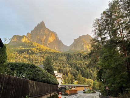
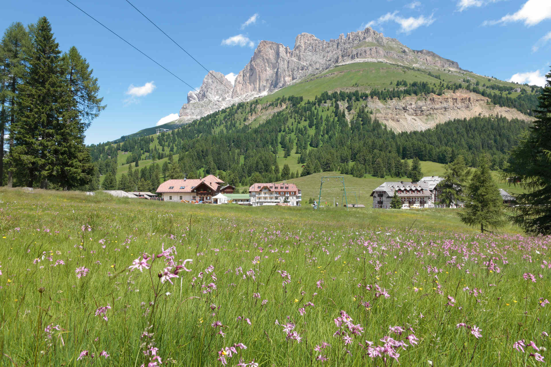
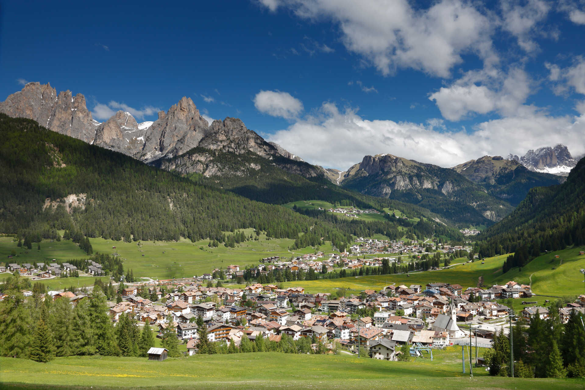
Starting from Vigo and following the state road 241 (S.S. 241), in a little more than 9 km (6,5 km of whom without flat stretches), you reach Costalunga/Carezza Pass (average gradient 4,4%, with maximum...
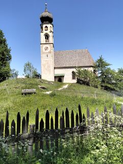
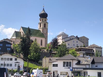
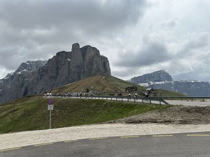
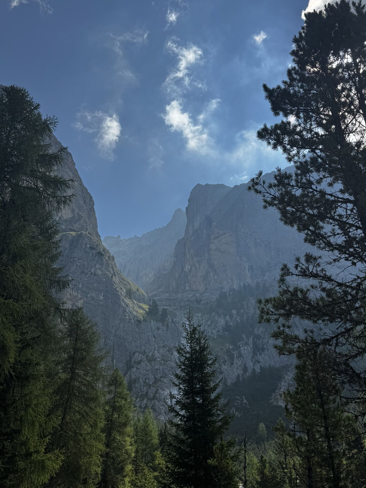
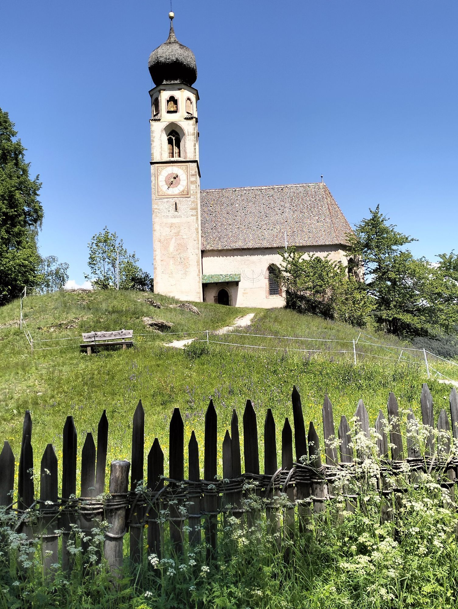
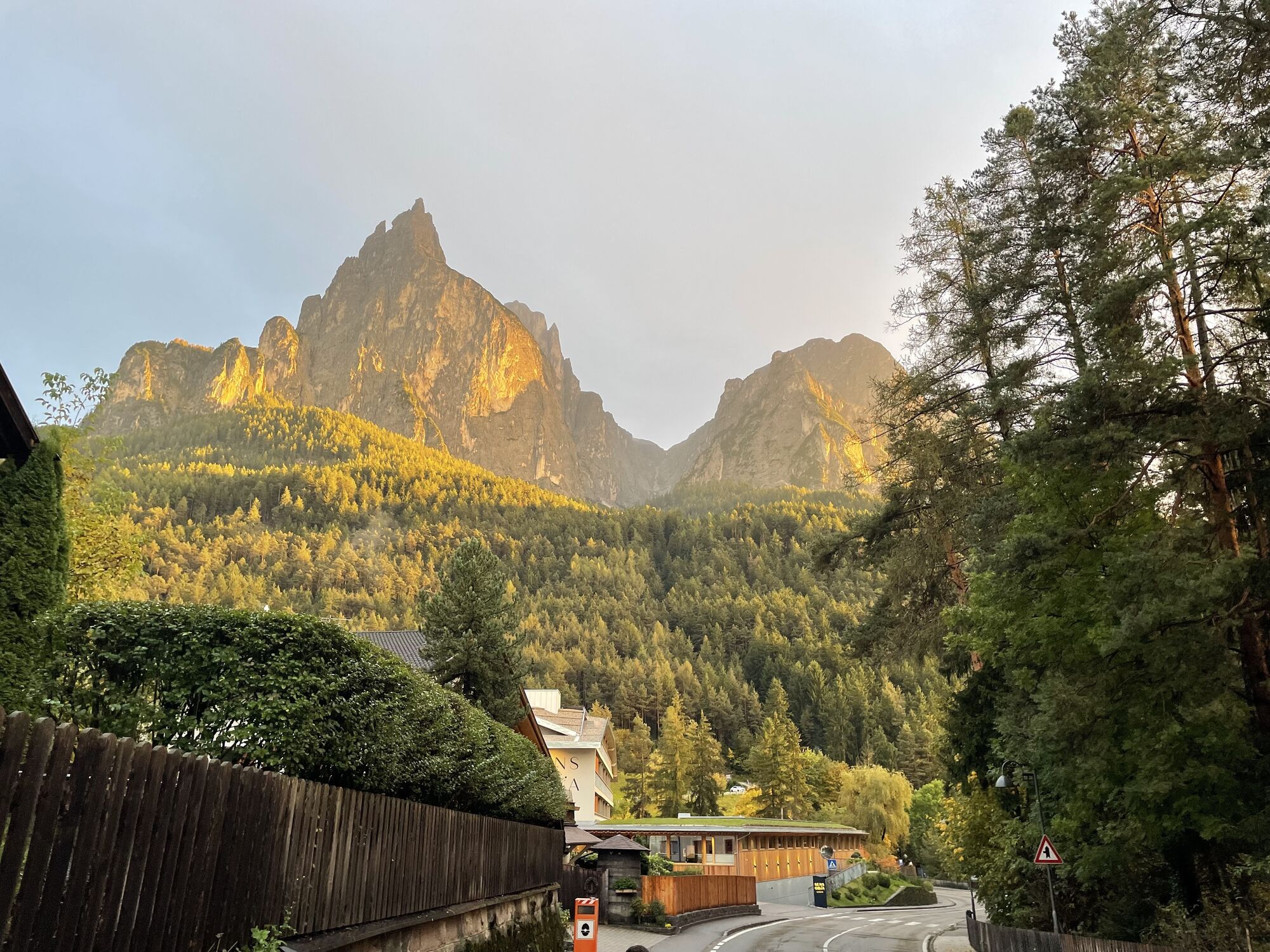
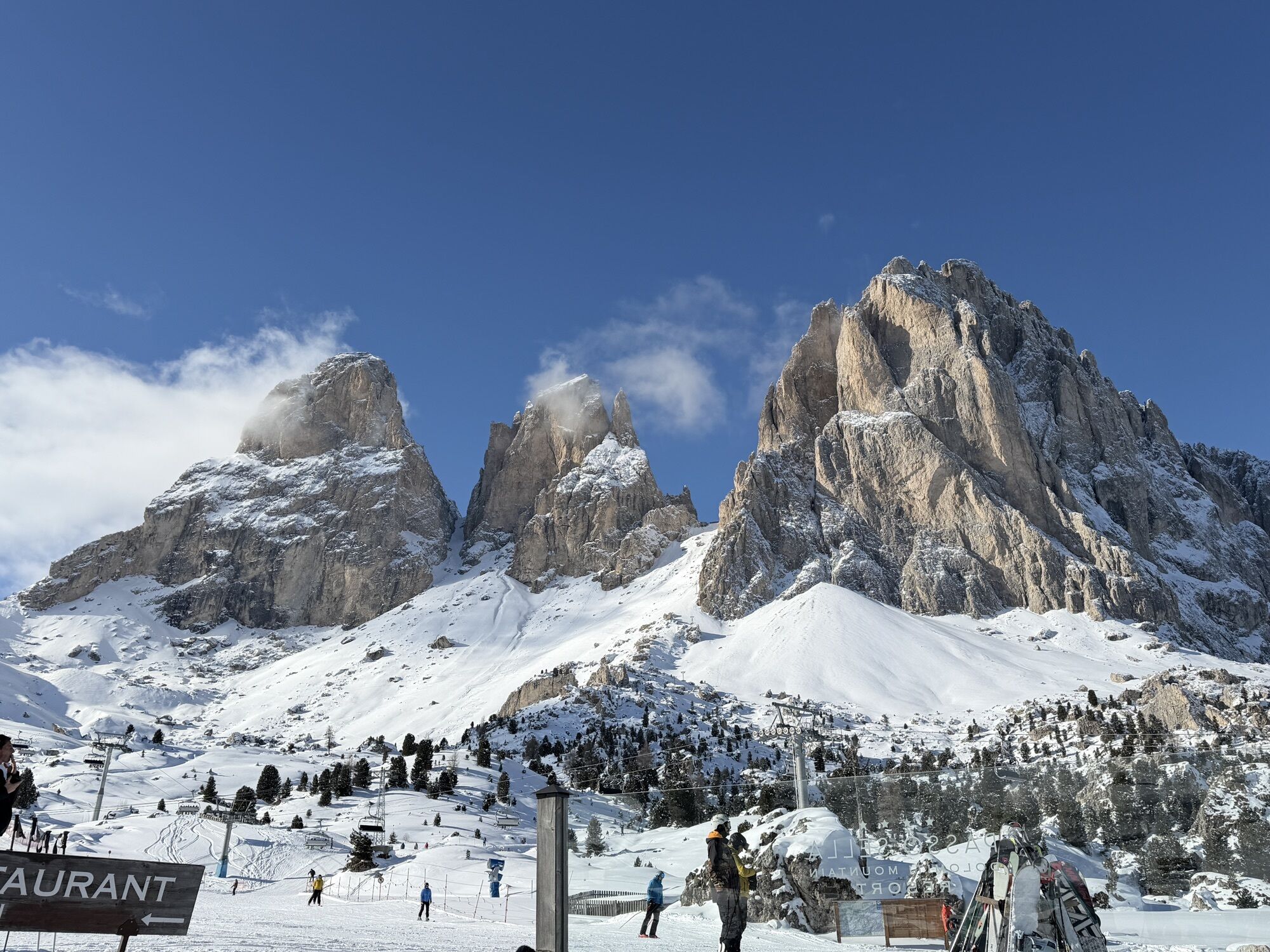
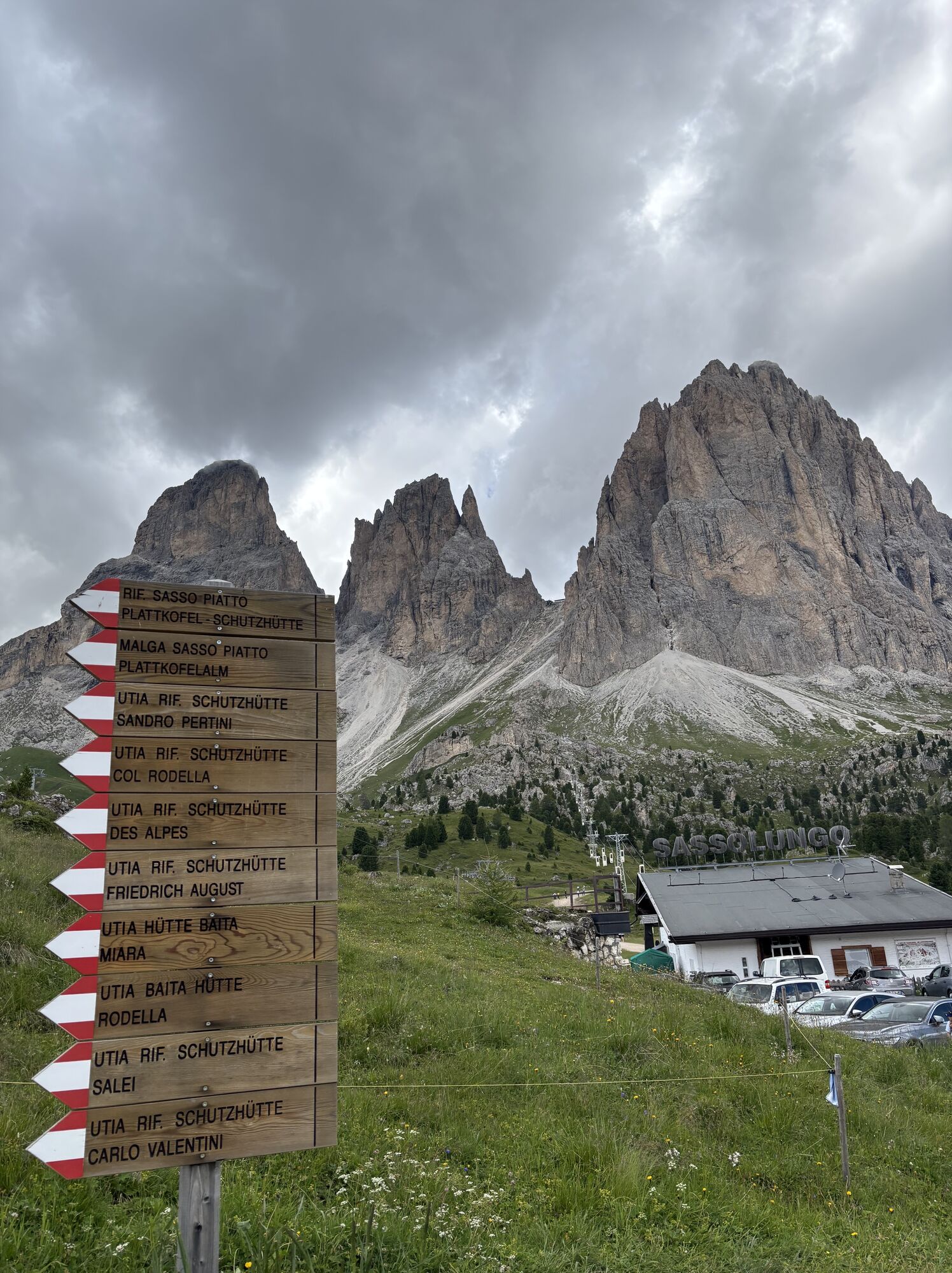
Starting from Vigo and following the state road 241 (S.S. 241), in a little more than 9 km (6,5 km of whom without flat stretches), you reach Costalunga/Carezza Pass (average gradient 4,4%, with maximum peaks of 10%). Go downhill and, at the crossroads, turn right towards Nigra Pass. Pedal easily on this wide, panoramic and almost flat road until you reach Carezza lift stations. Descend to the villages of Tires and Fiè allo Sciliar and then go up again towards Castelrotto and Pinei Pass. The descent to Ortisei is brief (3,5 km). Go through all Val Gardena. Once passing the resorts of Selva (1.563 m) and Plan de Gralba (1.800 m), start the climb to Sella Pass, several times “Cima Coppi” of Giro d’Italia: 9,5 km, average gradient 6,8% with stretches up to 11%. Before arriving in Canazei, you’ll have to face 12 km downhill with an average gradient of 6,9% and peaks of 13%. Return to Vigo along the state road 48 (S.S. 48).

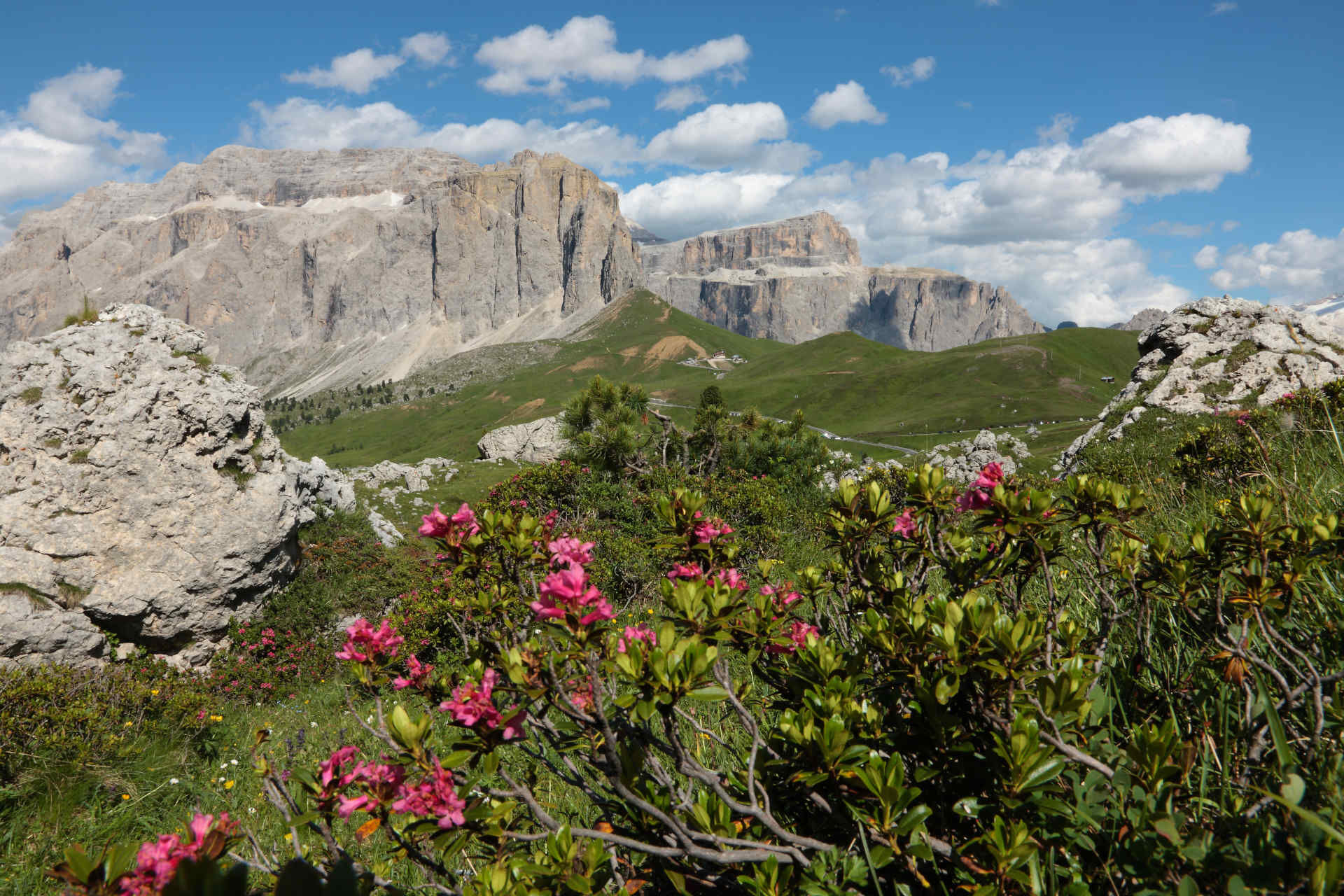
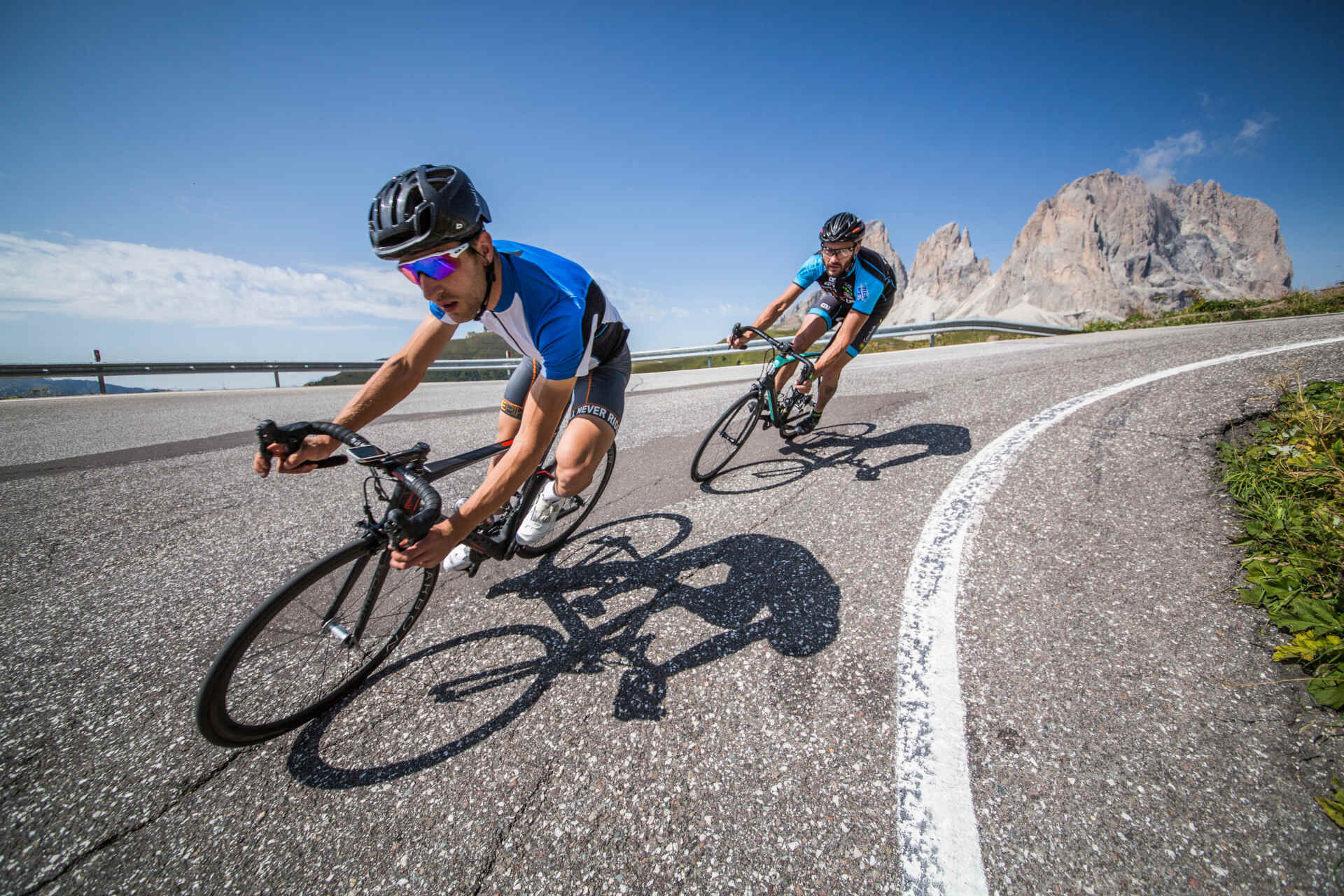
Once passing the resorts of Selva (1.563 m) and Plan de Gralba (1.800 m), start the climb to Sella Pass, several times “Cima Coppi” of Giro d’Italia: 9,5 km, average gradient 6,8% with stretches up to 11%. Before arriving in Canazei, you’ll have to face 12 km downhill with an average gradient of 6,9% and peaks of 13%. Return to Vigo along the state road 48 (S.S. 48).
Helmet, gloves, clothing adequate for the itinerary and the weather forecast. Charged gps with tracks. Puncture repair and multi-tool kit. In compliance with the rules of the road, bikes must absolutely be equipped with bell, headlights, taillights, and reflectors on the back, on the sides and on the pedals.
Plan a tour based on your skills and on the weather.
Proceed slowly, especially downhill, enjoy the view and the silence.
Adapt your speed, especially in turns, to the conditions of the ground.
Rely on the bike guides.
Wear adequate clothing and equipment.
Respect the environment surrounding you and bring your waste back.
Follow the rules of the road.
Be careful on the cycling and walking route.
Help those who need it.
If you come across pedestrians, warn them of your approach and slow down.
Other access points to Val di Fassa:
from A27 motorway (Venezia), exit Belluno/Ponte nelle Alpi, S.S. 203 to Agordo and S.P. 346 to San Pellegrino Pass - Moena (Val di Fassa). At the roundabout in Moena, proceed towards Canazei from A27 motorway (Venezia), exit Belluno/Ponte nelle Alpi, S.S. 203 to Agordo/Alleghe/Rocca Pietore. S.P. 641 to Fedaia Pass - Canazei coming from Arabba, S.S. 48 to Pordoi Pass - Canazei from Val Gardena, S.S. 242 to Sella Pass - CanazeiPublic transport lines SAD - Val di Fassa:
line no. 180 Pozza di Fassa - Vigo di Fassa - Carezza Pass - Bolzano line no. 471 Dolomites passes (Sella Pass, Gardena Pass, Campolongo Pass, Pordoi Pass, Fedaia Pass). Service available in summer onlyFree parking in Vigo by: athletic field (Strada de l'Ancona), San Giovanni’s parish church area (in front of Fassa Coop supermarket) and in front of Hotel Vael (Strada Rezia).
5
Strèda Roma, 36
38032 Canazei (TN)
Phone +39 0462 609500
info@fassa.com
www.fassa.com
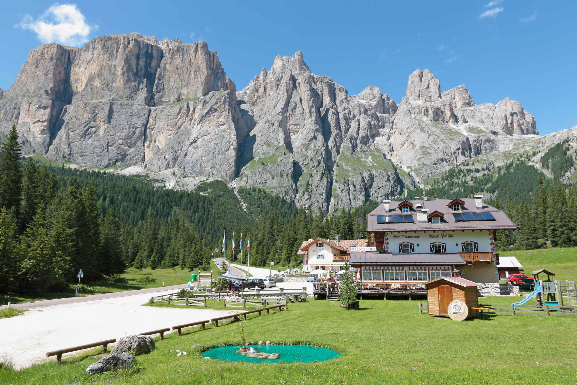
E-bike charging station in Selva di Val Gardena, Plan de Gralba and Sella Pass. Refreshment points along the route.
From Fontanazzo to Pozza/Vigo, possible detour on paved cycling-and-walking route.
Spletne kamere s turneje
-
Ciampinoi
-
St. Ulrich / Hotel Talblick
-
St. Ulrich Ort
-
Plan de Gralba
-
Seiser Alm - Hotel Monte Piz
-
Steinegg
-
Tublà
-
Bergstation Col de Valvacin
-
Bergstation Col de Valvacin
-
Bergstation Col de Valvacin
-
Bergstation Col de Valvacin
-
Bergstation Col de Valvacin
-
Bergstation Col de Valvacin
-
Bergstation Col de Valvacin
-
Bergstation Col de Valvacin
-
Bergstation Col de Valvacin
-
Col dei Rossi
-
Ciampedie - Rosengarten
-
Ciampedie - Rosengarten
-
Ciampedie - Rosengarten
-
Ciampedie - Rosengarten
-
Bergstation Col de Valvacin
-
Lajen
-
Seis am Schlern
-
Seiser Alm - Puflatsch
-
Welschnofen - Nigglhof
-
St. Ulrich - Zone Solaria
-
St. Christina
-
Resciesa / Raschötz
-
St. Ulrich - Seiser Alm
-
Klobenstein - Ritten
-
Kastelruth - Abinea Dolomiti Spa Hotel
-
St. Christina - Gröden - Dorfhotel Beludei
-
Gröden - Seceda
-
Rifugio Maria Sass Pordoi
-
Ciampinoi
-
Col Raiser
-
Città dei Sassi
-
Dantercepies
-
Seiseralm - Compatsch
Priljubljeni izleti v okolici
-
3.8
Der Friedrich-August-Weg
srednjaPohodništvo 10.4 km -
4.6
Pordoi Pass - Sass Pordoi - Forcella Pordoi - Piz Boè - Boè Refuge - Forcella Pordoi - Pordoi Pass
težkoPohodništvo 8.39 km -
4.9
Lang- und Plattkofel Umrundung
srednjaPohodništvo 17.5 km -
4.8
Langkofel-Umrundung
srednjaPohodništvo 12.9 km -
4.7
Puflatsch Umrundung
svetlobaPohodništvo 8.37 km -
5.0
Langkofel Klettersteig/Ferrata Furcela de Saslonch
težkoVia ferrata 7.07 km -
4.8
Santnerpass Klettersteig
srednjaVia ferrata 8.29 km -
5.0
Um den Langkofel
srednjaPohodništvo 9.76 km -
4.4
Dolomiten Sellagruppe, Alb. Col di Lana, Sas de Pordoi, Piz Boé retour 22.06.2016
srednjaPohodništvo 5 km -
5.0
Ciampedie - Gardeccia - Refuges Vajolet and Preuss - Refuge Re Alberto I - Gardeccia - Ciampedie
težkoPohodništvo 11.8 km
Pohodništvo in sledenje


Ne zamudite ponudb in navdiha za naslednje počitnice
Vaš e-poštni naslov je bil dodan na poštni seznam.