







Along the Sarca cycle path: from Arco to Fies
Stopnja težavnosti: 1
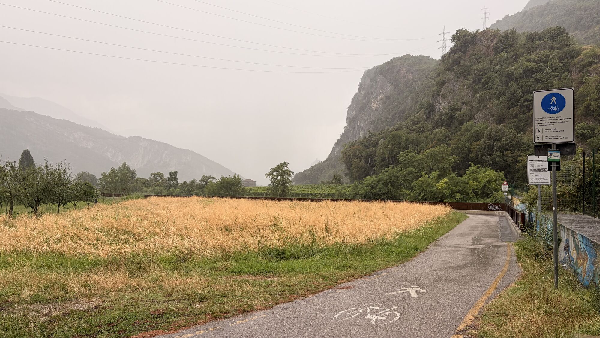
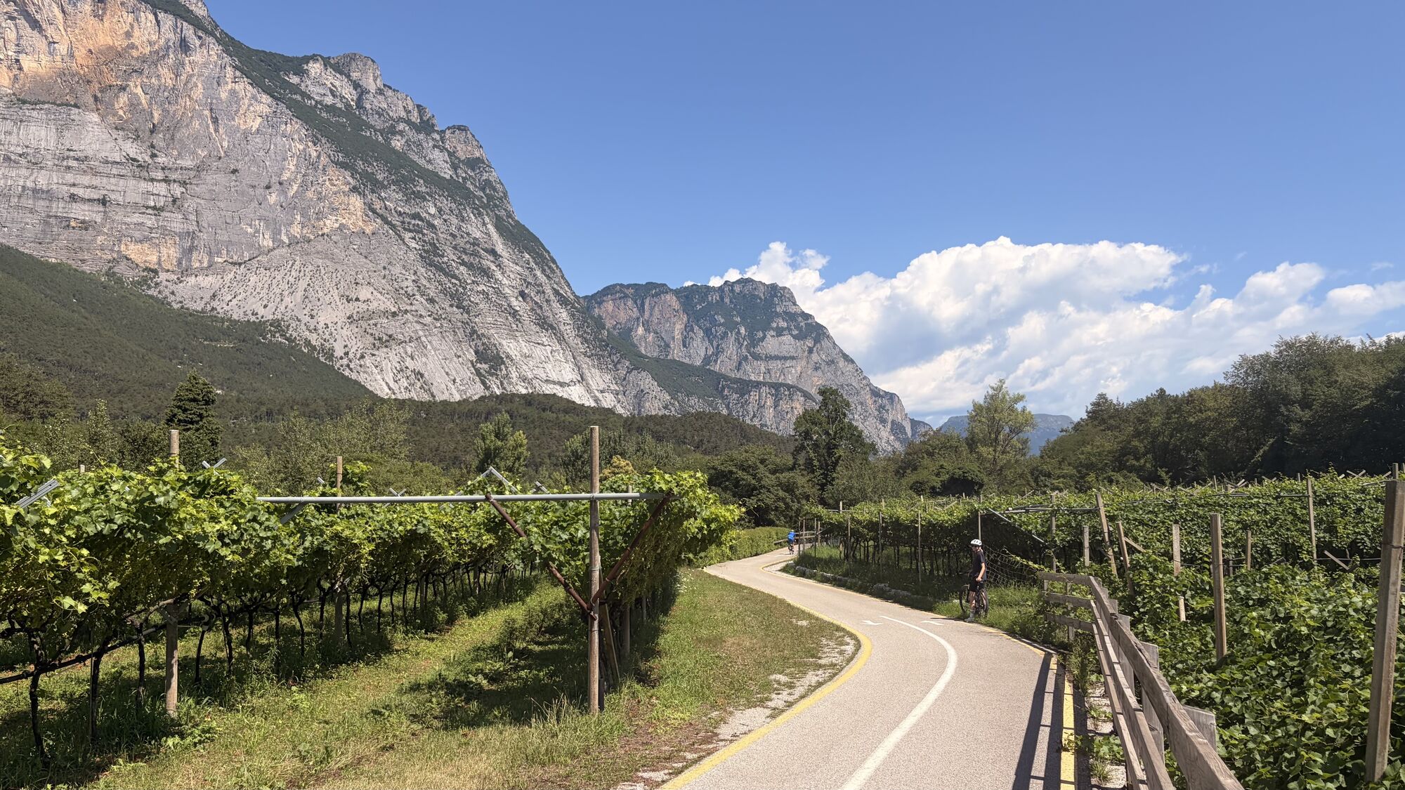
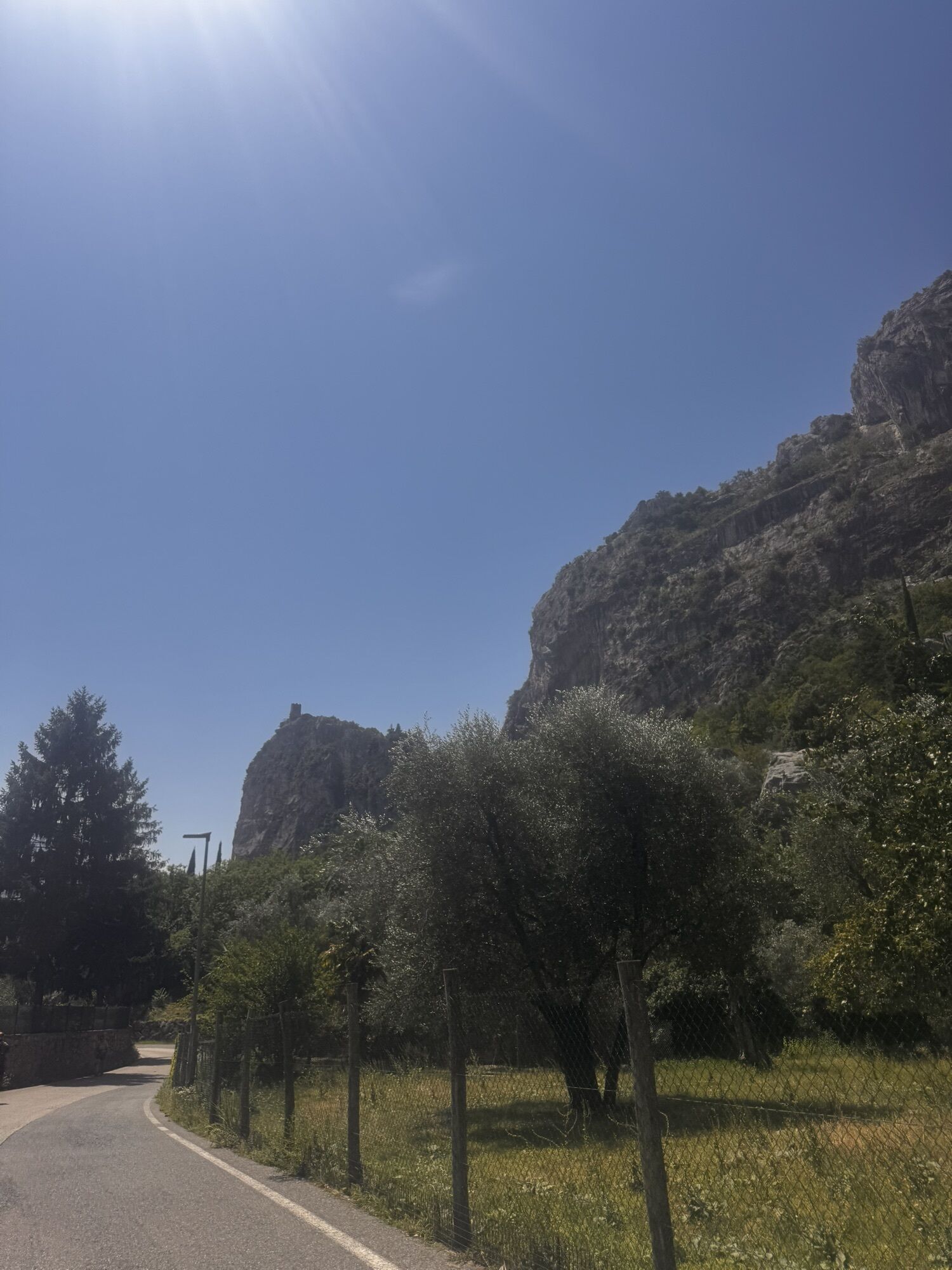
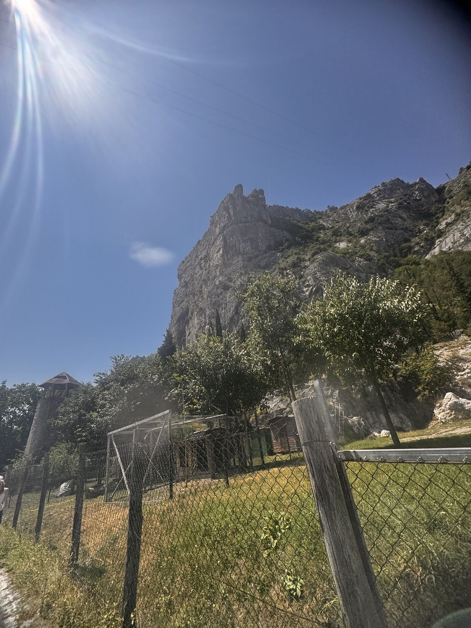
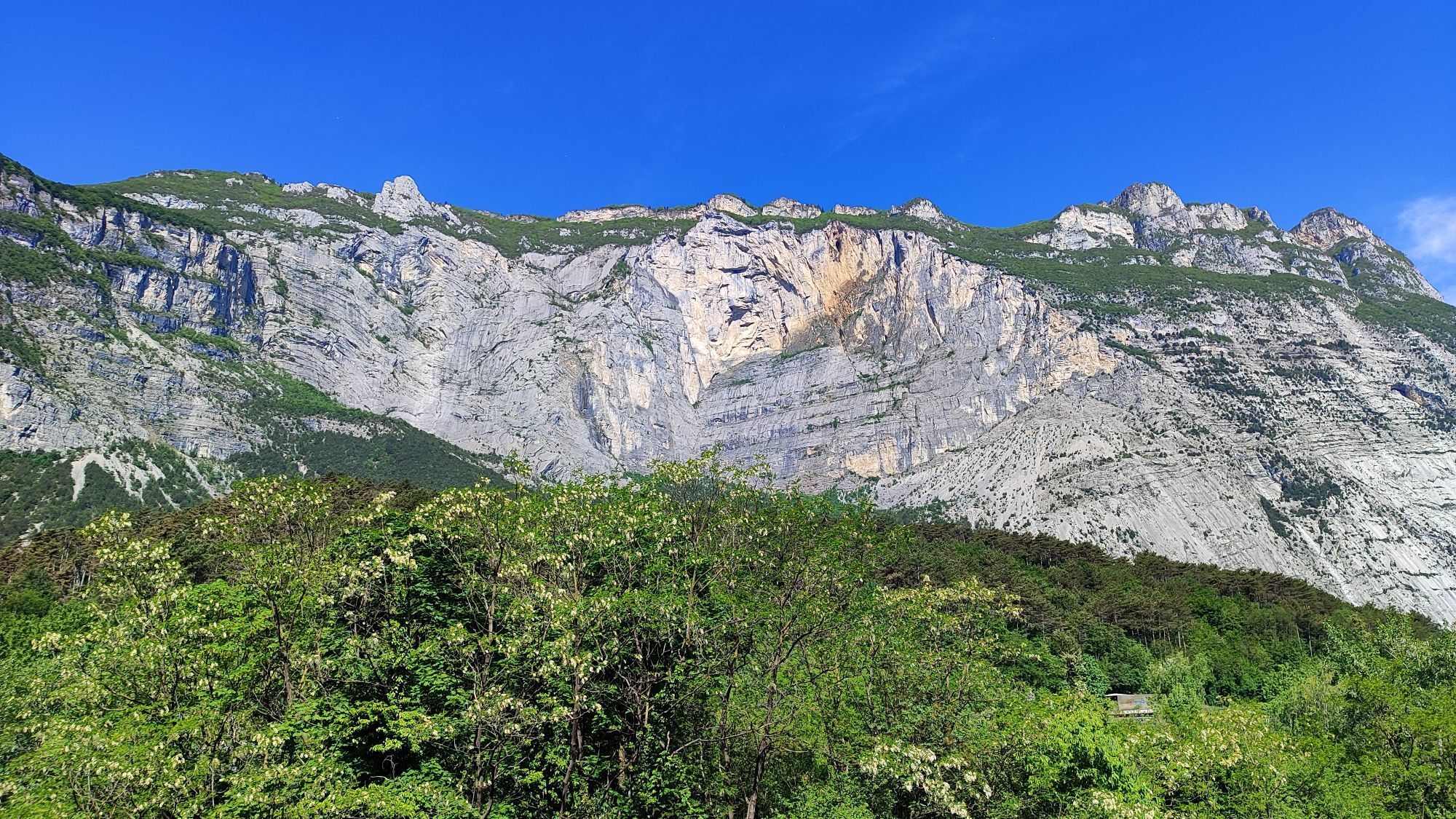
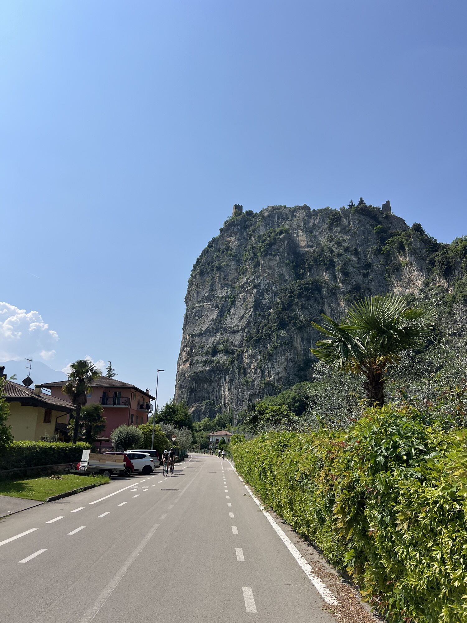
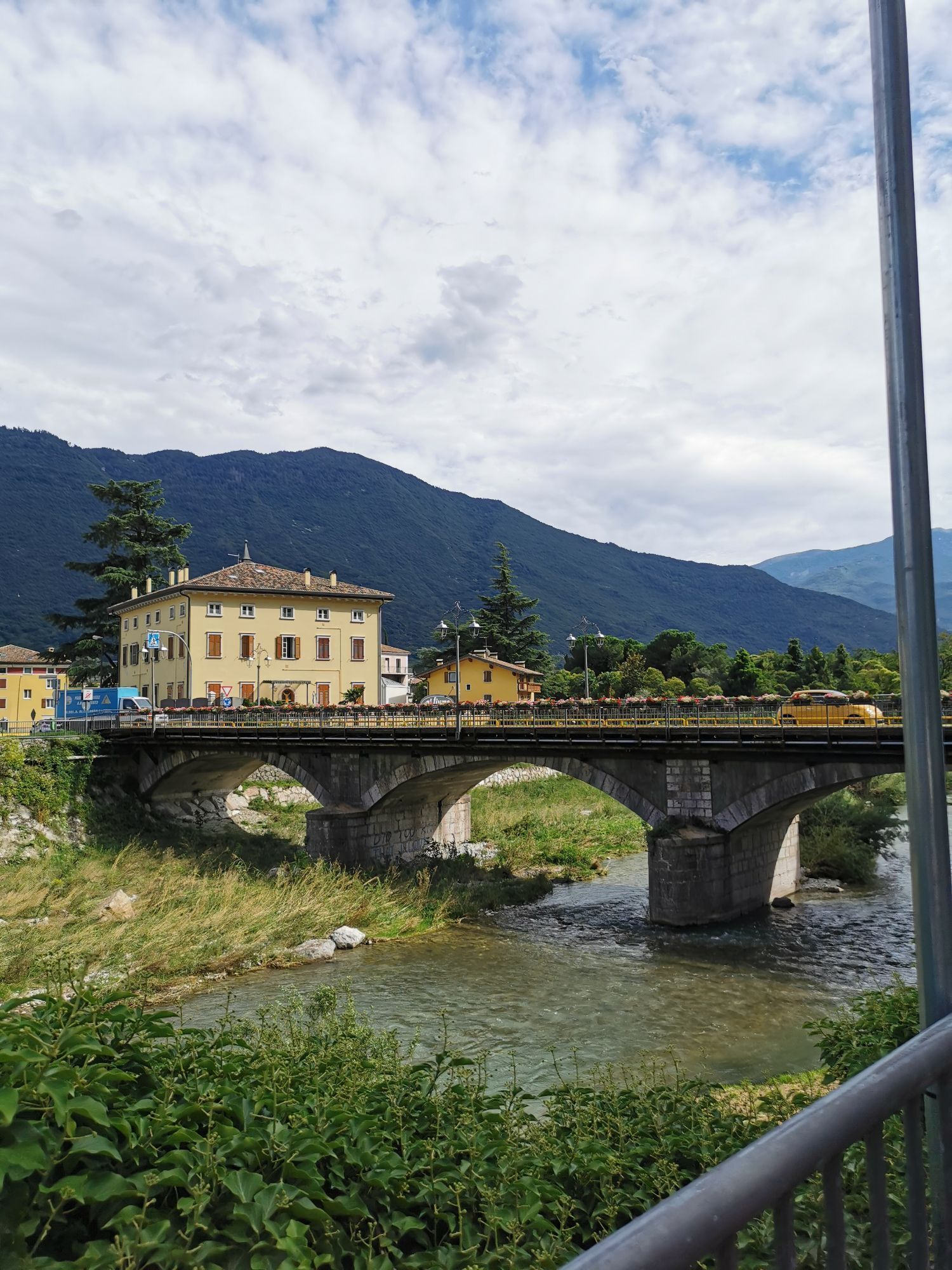
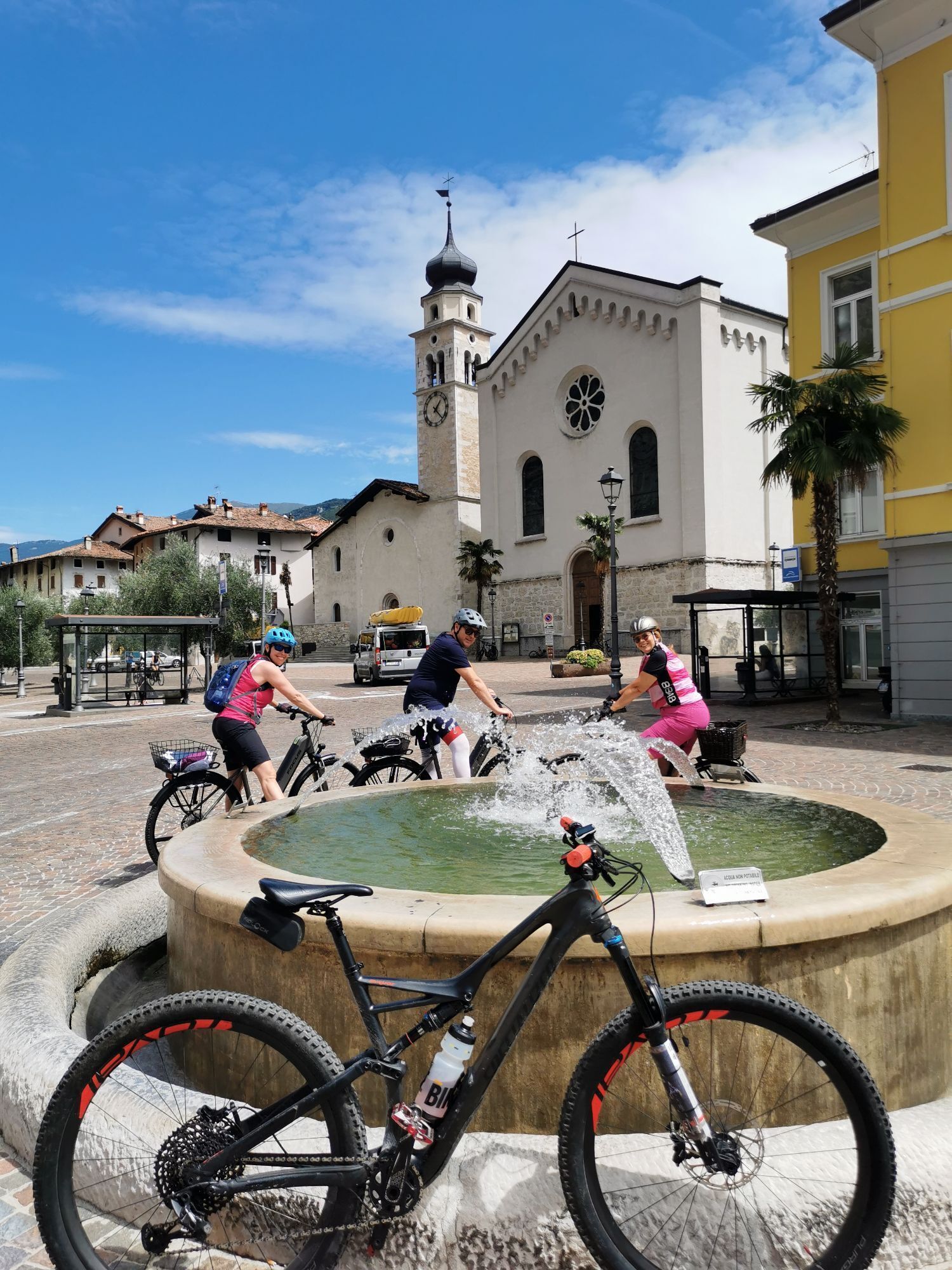
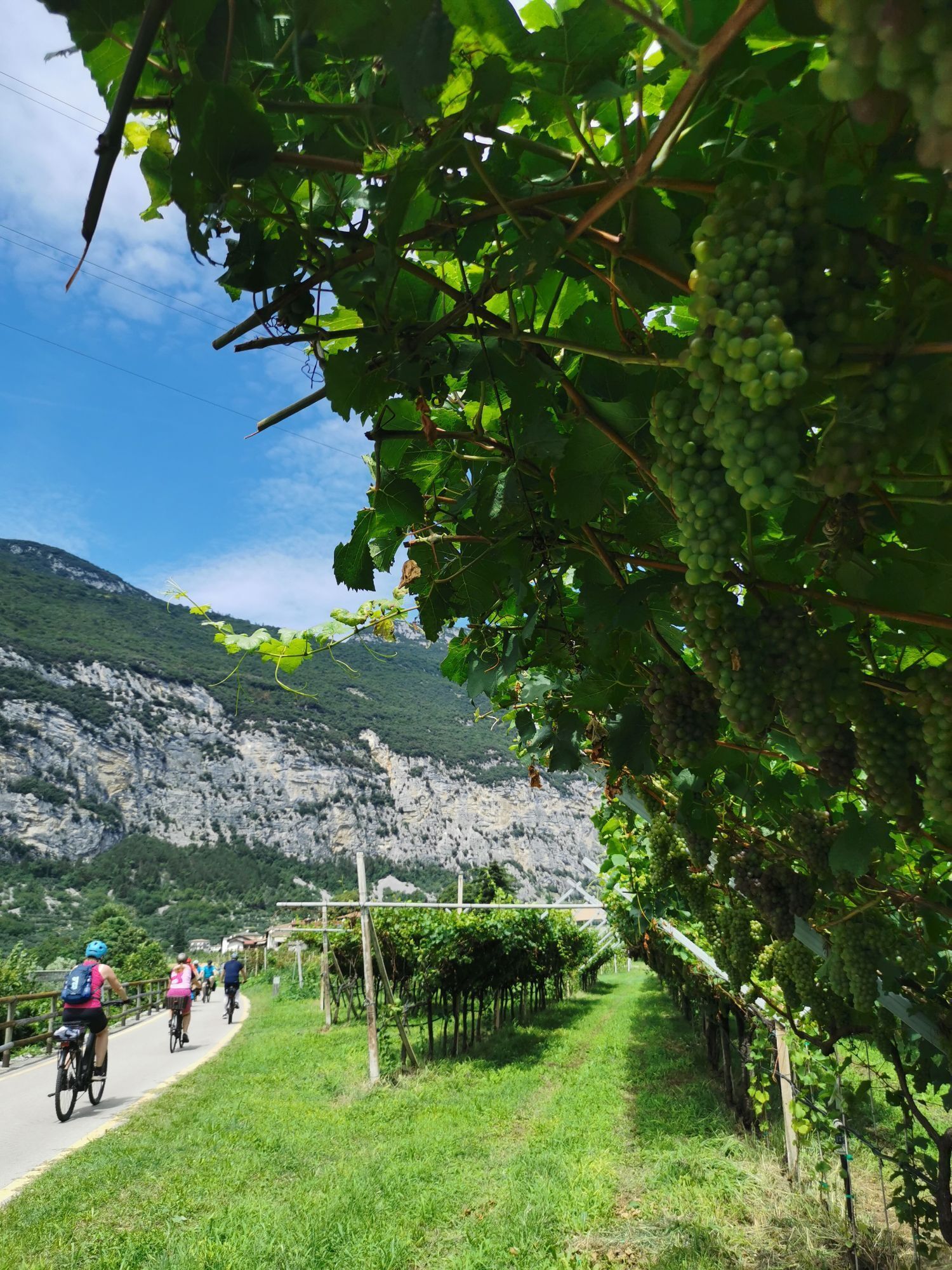
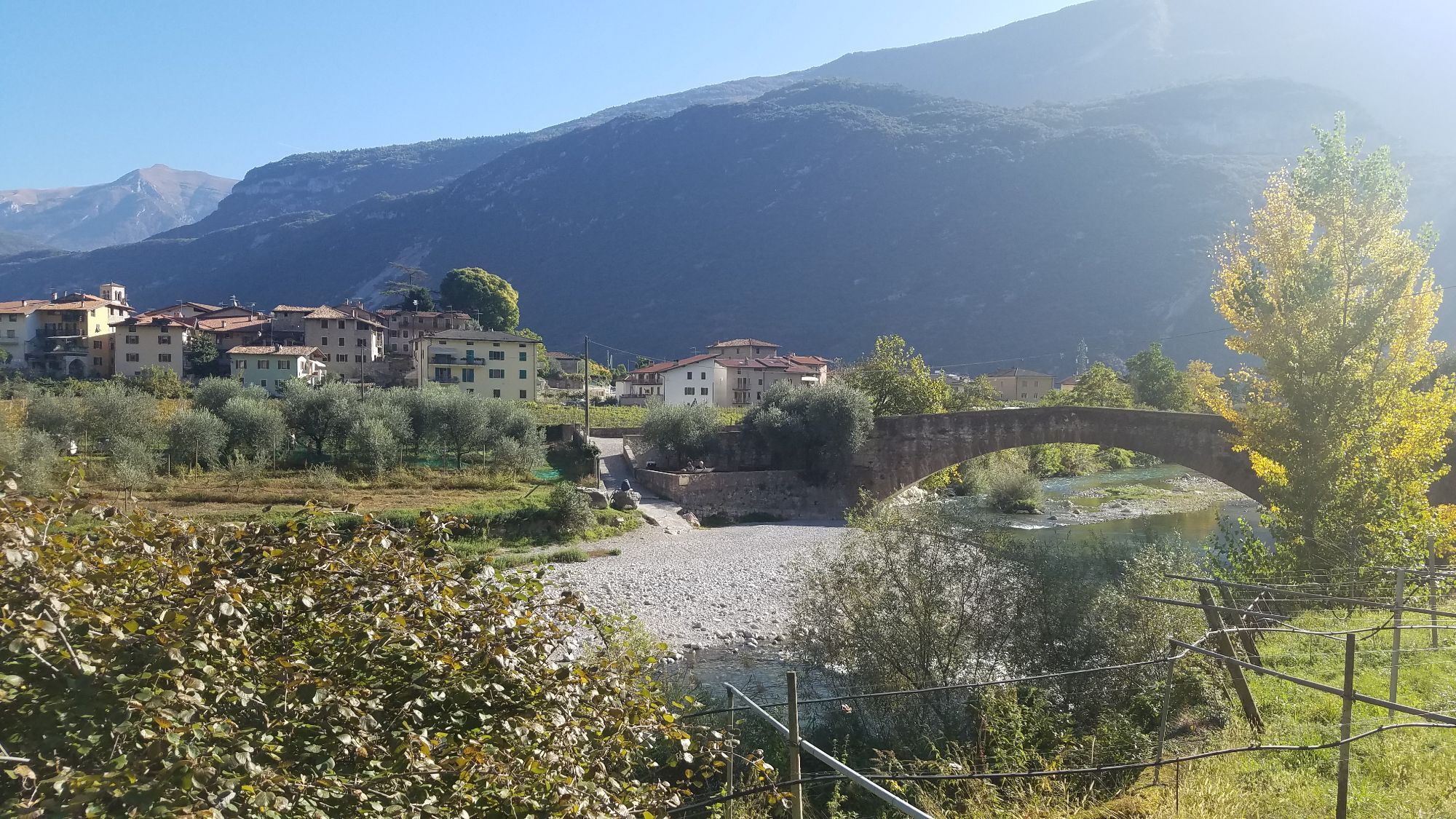
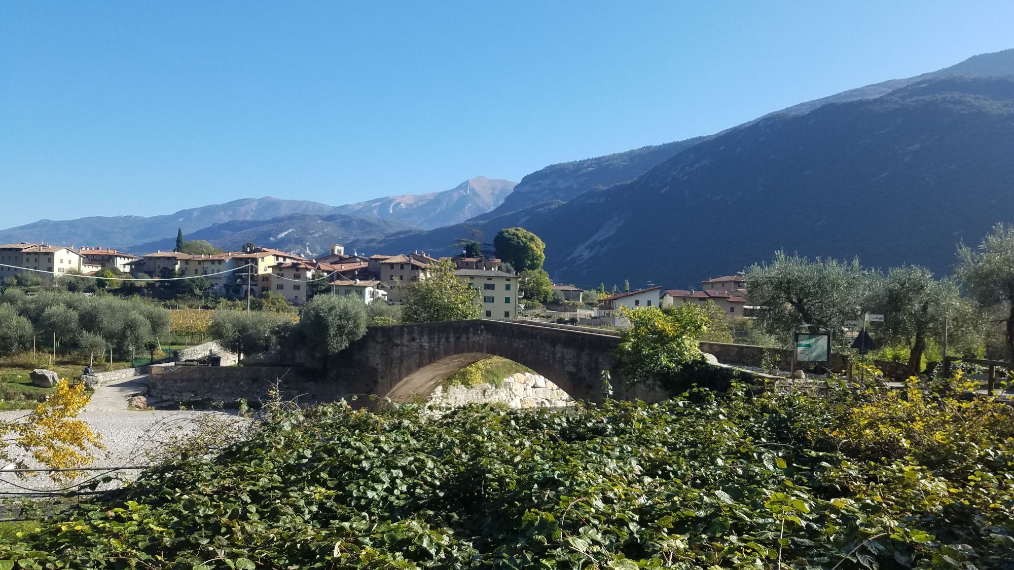
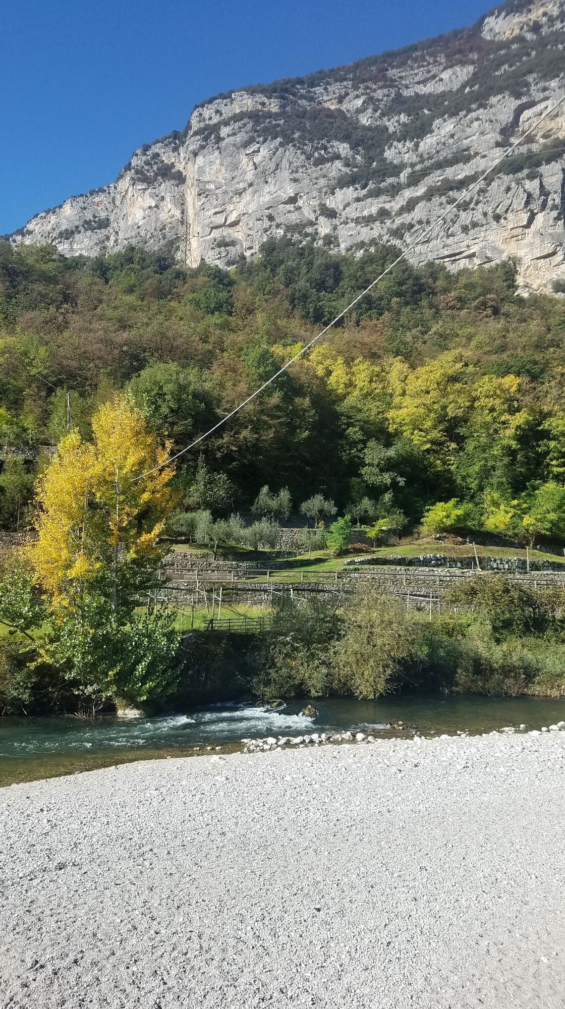

An easy route without much elevation gain which follows the course of the River Sarca northward. The route is on cycle path and side roads and gives you a chance to enjoy the diversity of the landscape...
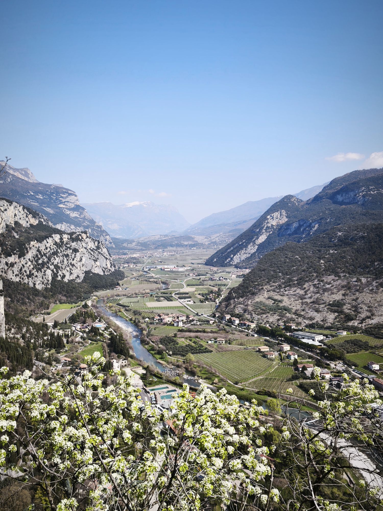
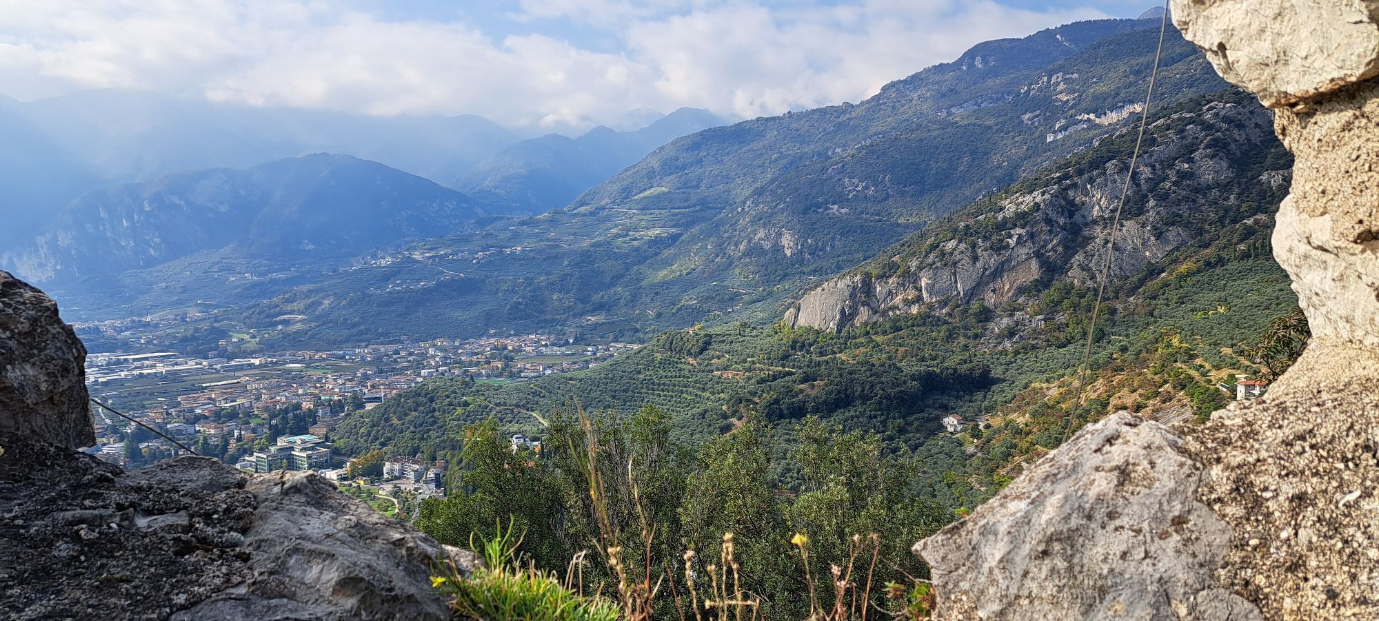
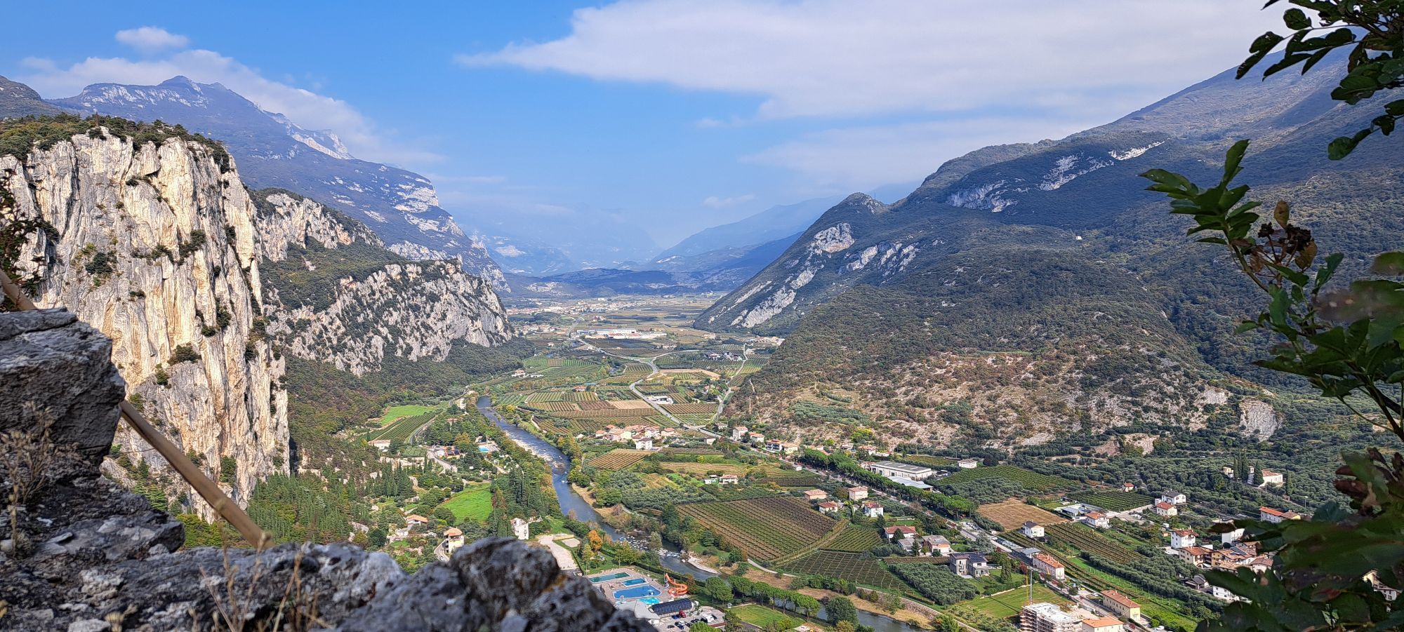
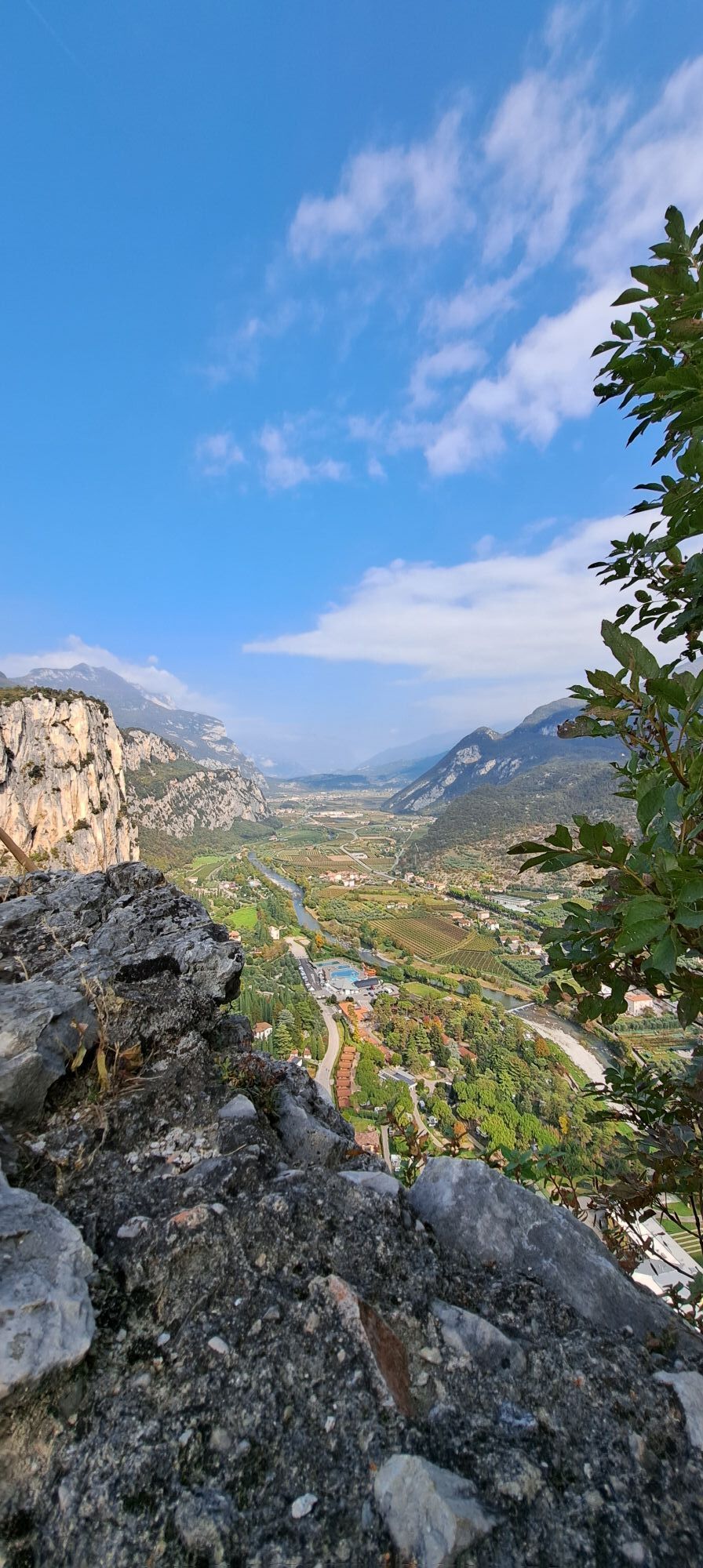
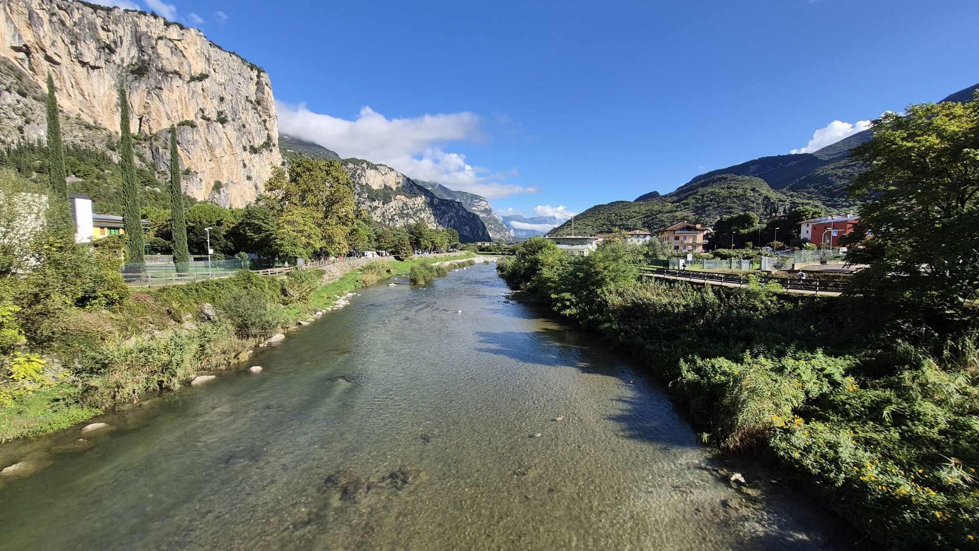
An easy route without much elevation gain which follows the course of the River Sarca northward. The route is on cycle path and side roads and gives you a chance to enjoy the diversity of the landscape around the river. From orchards and vineyards to small towns and villages, you wind up in the Marocche, an area which has protected status because it is so unique.
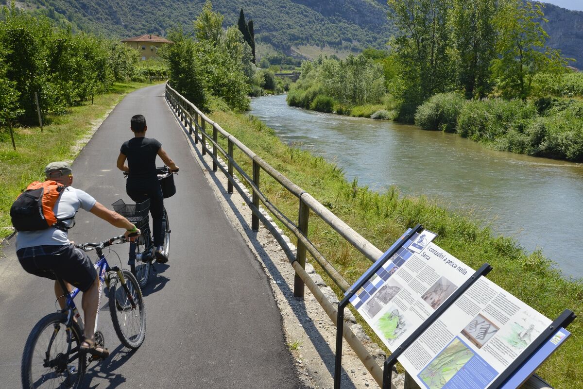
If you are a nature lover and enjoy discovering all the hidden treasures of an area, this is the itinerary for you. The banks of the River Sarca are part of the Sarca River Park and here you will find educational information panels to tell you all about the history and features of the area. And the Marocche nature reserve is a treasure trove for geology and botany enthusiasts. For example, did you know that there are natural bonsais growing there? Get off your bike and stop to explore the “valleys of the Moon”(Valli della Luna)!
The Marocche di Dro are a Site of Community Importance, belonging to the Natura 2000 Network.

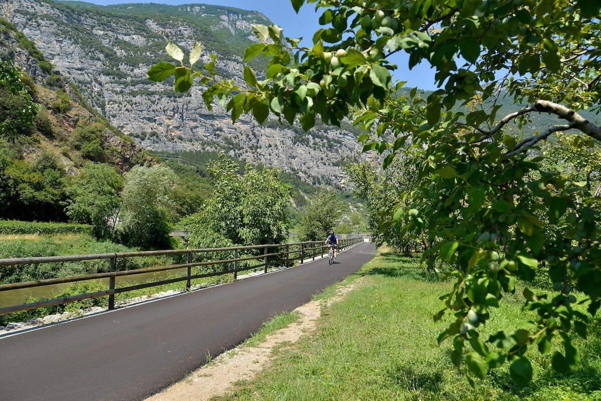
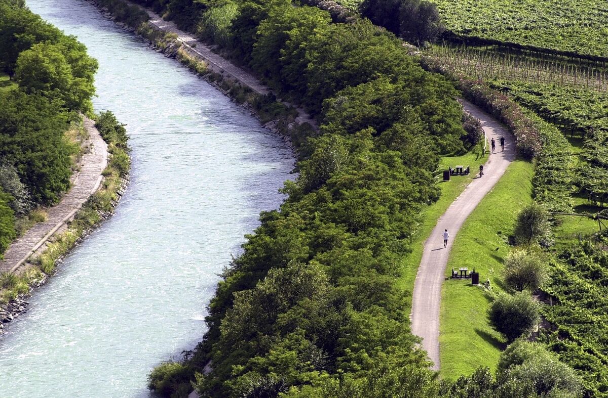

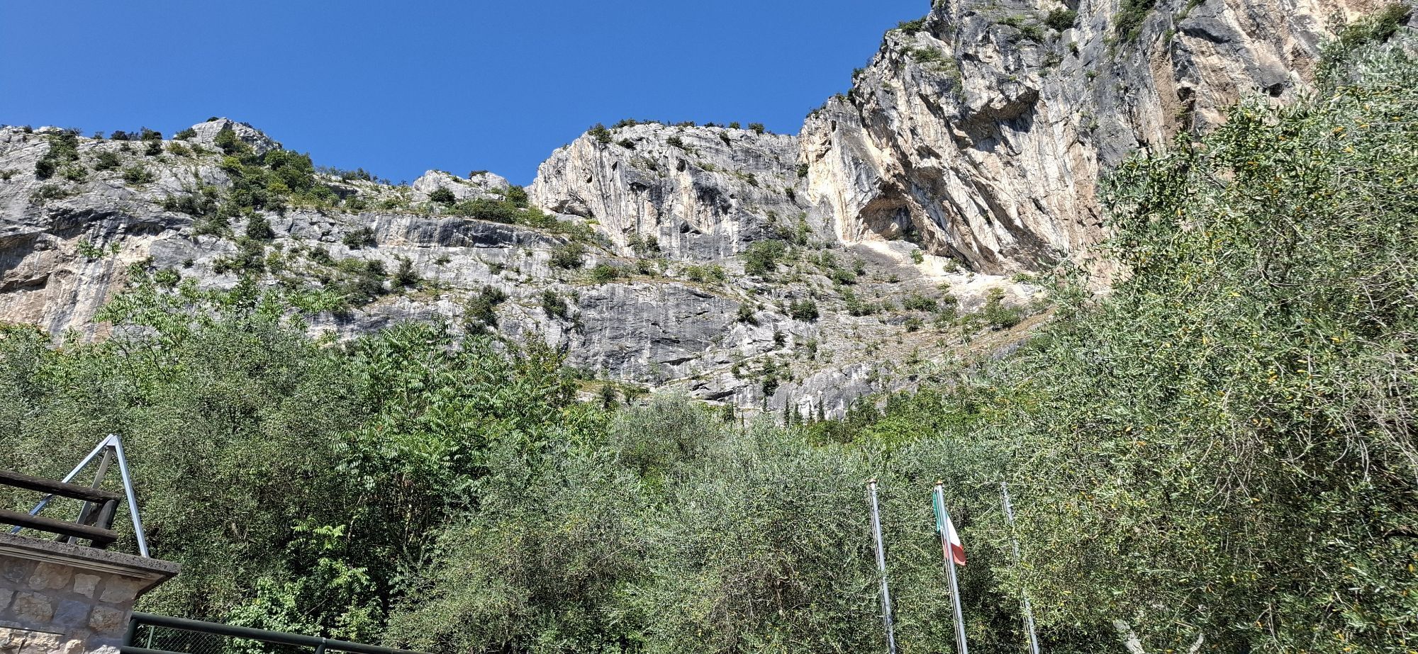
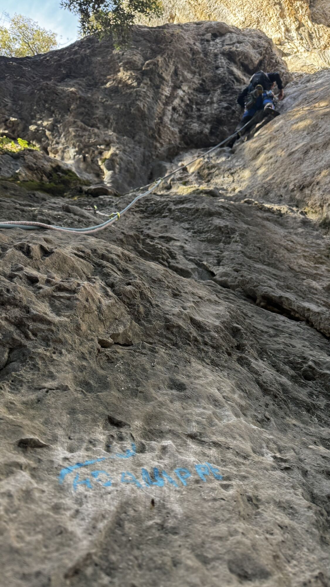
Head off from the car park situated at the bridge inArco where the cycle path begins. Shortly after, you pass the Climbing Stadium on your left, the venue for the Rock Master championship, one of the most important climbing competitions in the world. Follow the road signs so that you are cycling with the river on your left and the vineyards on your right.
At the end of the cycle path turn left onto a side road which takes you into the little hamlet ofCeniga. Here you turn onto the first road on the right, then take the first left and cross through the centre. Continue on straight through vineyards until you come to a slight rise; turn right and then, at the end of the road, right again. At the stop sign turn right once more and go onto the roundabout where you take the third exit. A sign on the side of the road gives directions for the cycle path. Cycle for a short distance among the houses until you come to the start of the cycle path which is protected and for bikes only.
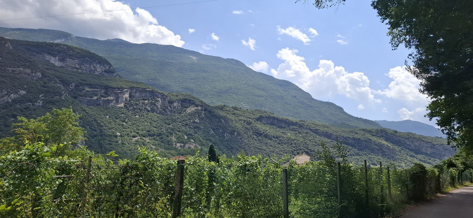
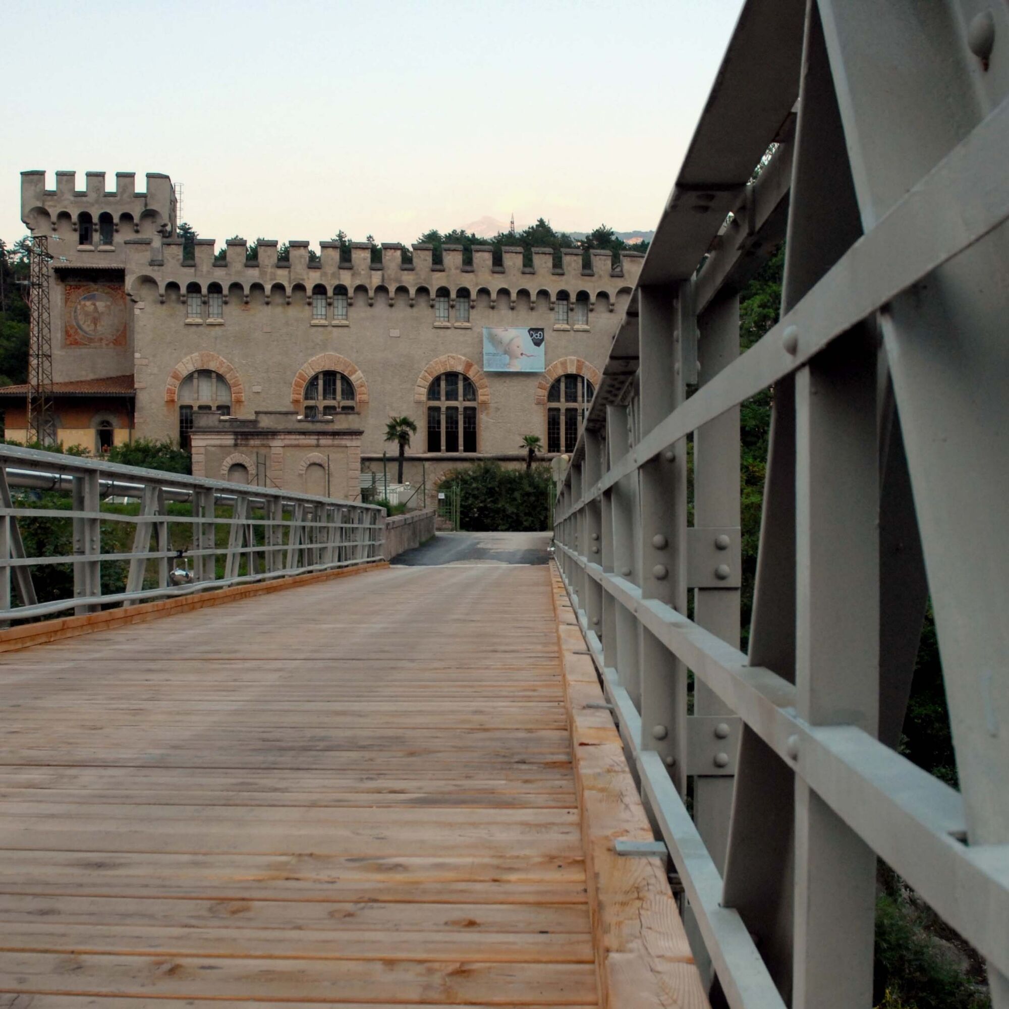
This trail is well signposted and passes through the vineyards. The River Sarca is always flowing on the left of the cycle path which takes you to the Fies power station. Here, against the backdrop of the Marocche, you come to the end of the first part of the itinerary.
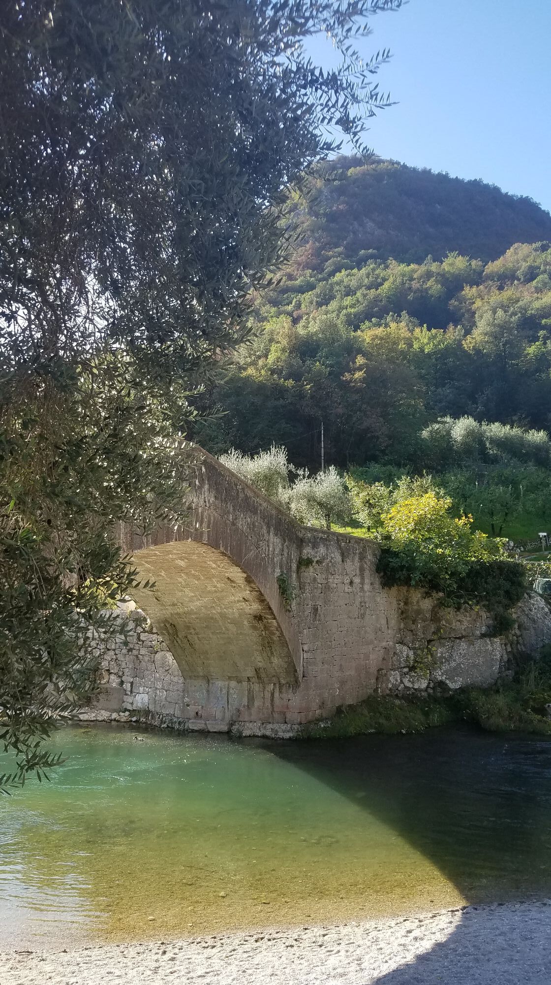
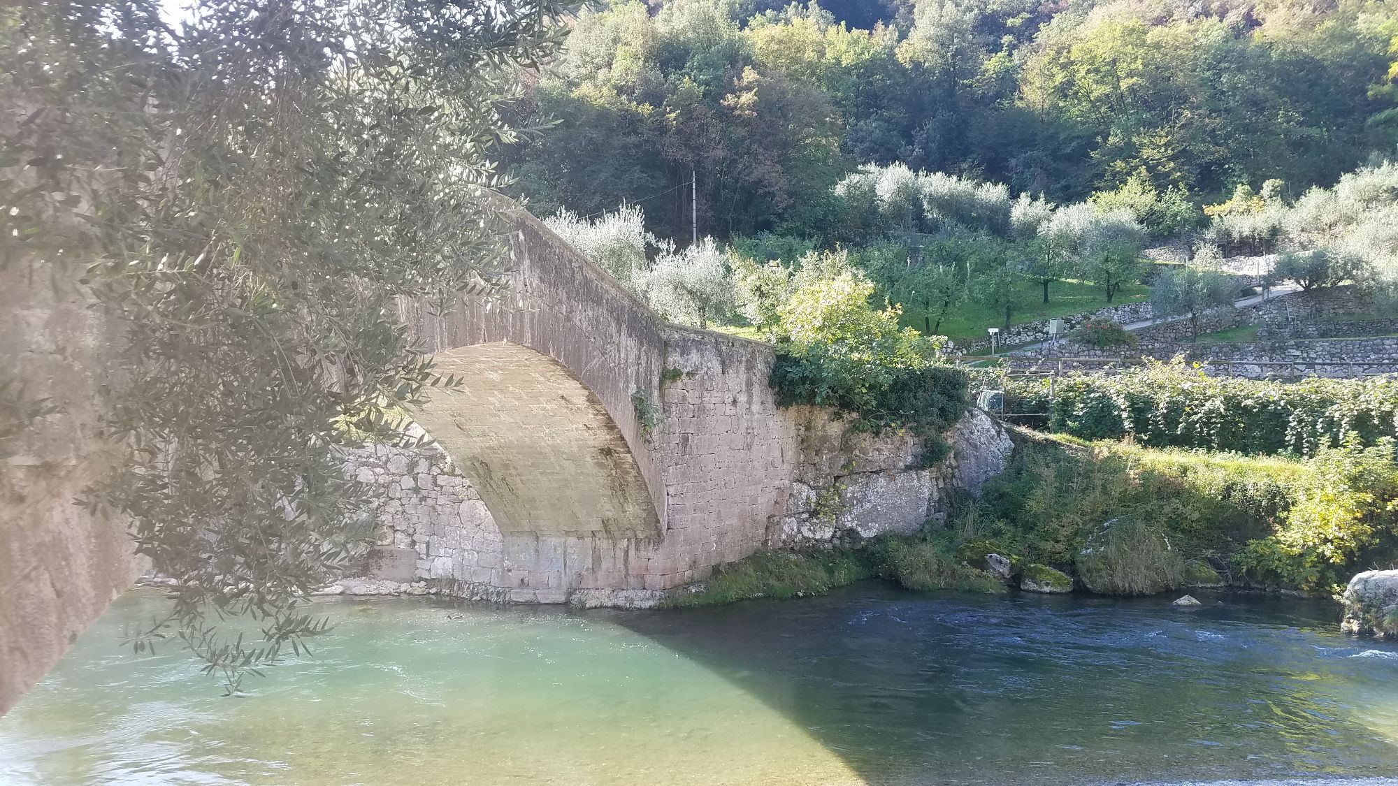
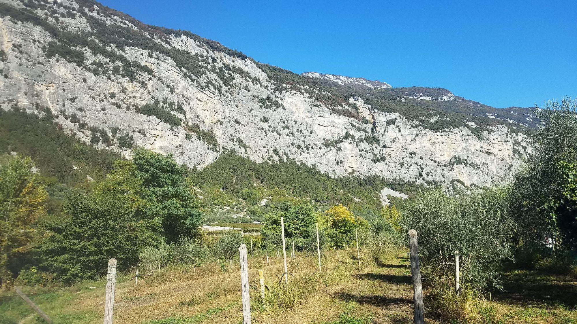
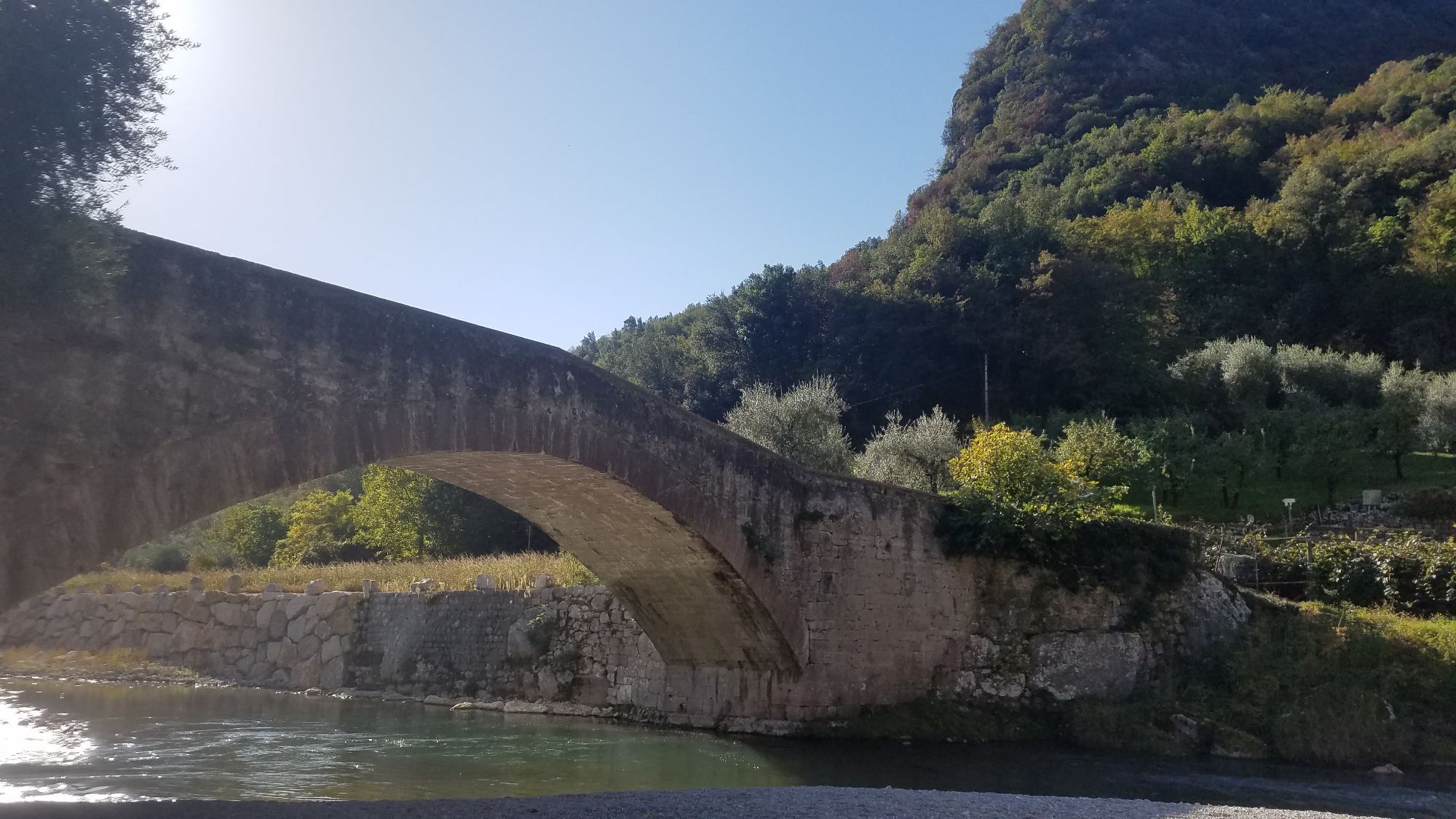
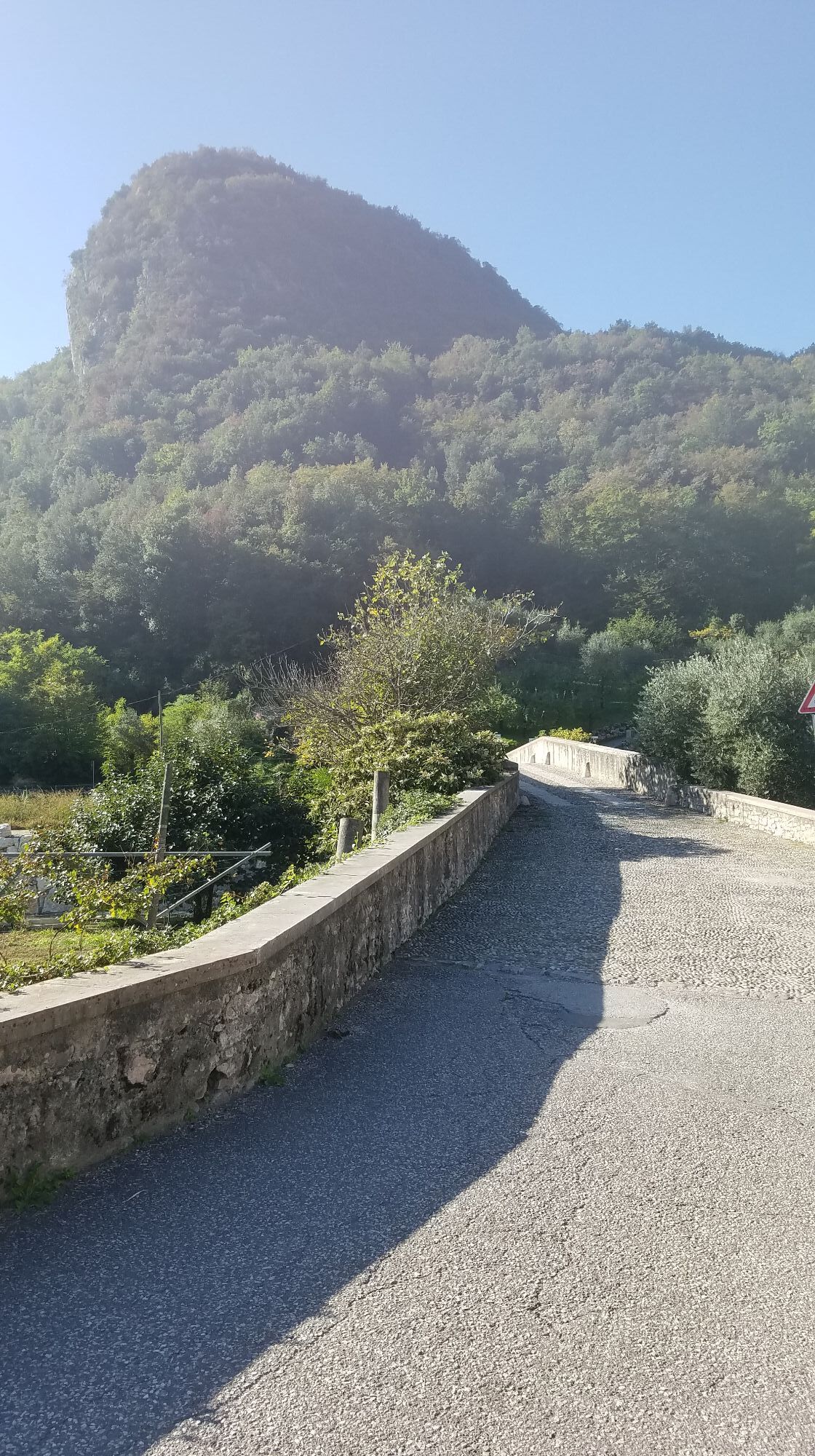
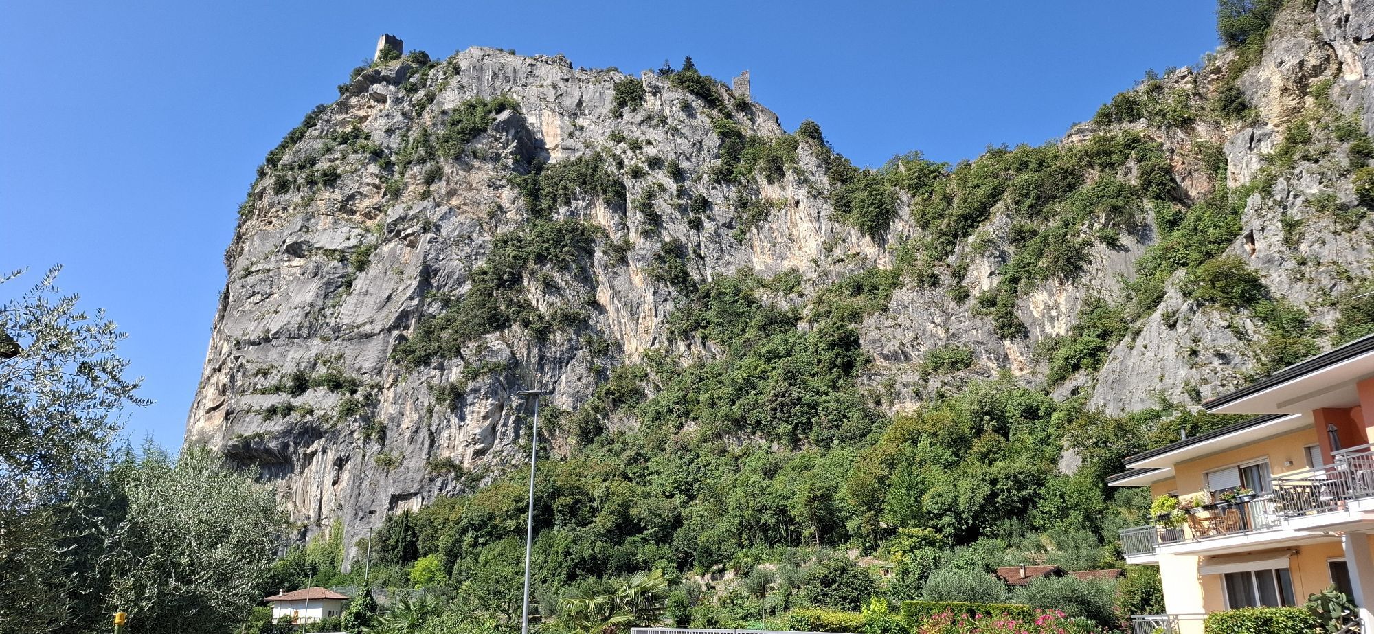
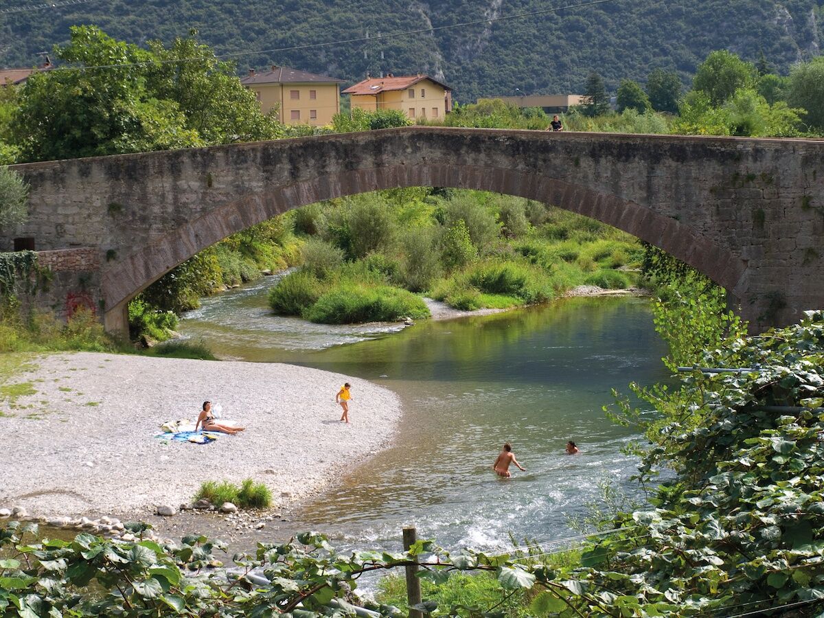
You can go back the way you came on the cycle path to Dro where you turn right at the roundabout. Continue along the main road and in a few minutes you come to the hamlet of Ceniga. Cross through the centre and follow directions to the Roman bridge. Cross the bridge and turn left along the river. On the right you have the sheer rock face of Monte Colodri. Keep going straight until you get back to where you started from.
Da
Da
Remember to thoroughly evaluate the type of route you plan on doing, the locations you intend to cross and the current season. Has it been raining? Attention: The paths may be slippery and require more caution.
What do I need to bring on my bike tour?
An adequate water supply according to your needs (considering temperature, possibility of refuelling and duration of the route) Plenty of snacks (for example, dried fruit or energy bars) Waterproof / Windproof jacket A spare top / spare socks (Descending in a sweaty garment, will make you cold). Suncream Sunglasses Bike gloves/mitts Map or GPS device Bike lights: best placed on your helmet or handlebars. (It is always best to be prepared) Bike repair kit for punctures and mechanical breakdowns First aid kit Emergency whistleIt is always advised to let someone know where you plan to go and how long you expect to be.
Emergency telephone number 112.
This information is subject to inevitable variations, so none of these indications are absolute. It is not entirely possible to avoid giving inexact or imprecise information, given how quickly environmental and weather conditions can change. For this reason, we decline any responsibility for changes which the user may encounter. In any case, it is advisable to check environment and weather conditions before setting out.
Getting to northern lake Garda / Garda Trentino
The towns in Garda Trentino - Riva del Garda, Torbole sul Garda and Arco – are connected by several urban and intercity bus lines which will take you to the starting point or in the immediate surroundings.
For up-to-the-minute information on timetables and routes
You can also get to Riva del Garda and Torbole sul Garda by the public ferry service.
Free parking in Caneve (5 min. walk from the town centre).
More Pay parking: Foro Boario parking, via Caproni Maini (Car park near the bridge), Post office (Via Monache).
1
You’ve already picked your cycling route—now all you need is the right support. Discover all the Bike Specialists in Garda Trentino: rentals, repair shops, and dedicated bike stores are ready to welcome you right here.
In summer be sure to bring your swimsuit: underneath the Roman bridge in Ceniga there is a little beach, ideal for cooling down after your bicycle ride
 Pridobite vpogled Vedno v živo na mestu z več kot 9.500 spletnimi kamerami. bergfex Kot uporabnik Pro si lahko zdaj ogledate ustrezne spletne kamere za številne izlete v aplikaciji izleti iz. Tako si lahko neposredno ogledate trenutne razmere.

Priljubljeni izleti v okolici
- 5.0
Bastione and Santa Barbara, the lords of Riva del Garda
srednjaPohodništvo 2.94 km - 5.0
Via Ferrata Signora delle Acque - Rio Ruzza
težkoVia ferrata 5.32 km - 4.8
Via Ferrata Rio Sallagoni
srednjaVia ferrata 2.75 km - 4.9
Via Ferrata dell’Amicizia - Cima SAT
srednjaVia ferrata 4.41 km - 4.8
Ponale Path (from Ledro)
srednjaPohodništvo 10.8 km - 4.6
Colodri Klettersteig (A/B)
Via ferrata 7.50 km - 4.4
Ferrata via dell'amicizia
srednjaVia ferrata 11.5 km - 4.7
Malga Grassi Trail-Tour
srednjaMountainbike 24.2 km - 4.1
The forts of Monte Brione
svetlobaPohodništvo 6.11 km - 4.5
Ferrata via dell amicizia
srednjaVia ferrata 11.8 km
Pohodništvo in sledenje


Ne zamudite ponudb in navdiha za naslednje počitnice
Vaš e-poštni naslov je bil dodan na poštni seznam.





