







Monte Casale Trail-Tour

Stopnja težavnosti: ▲
Signage: 952. Monte Casale Trail-Tour
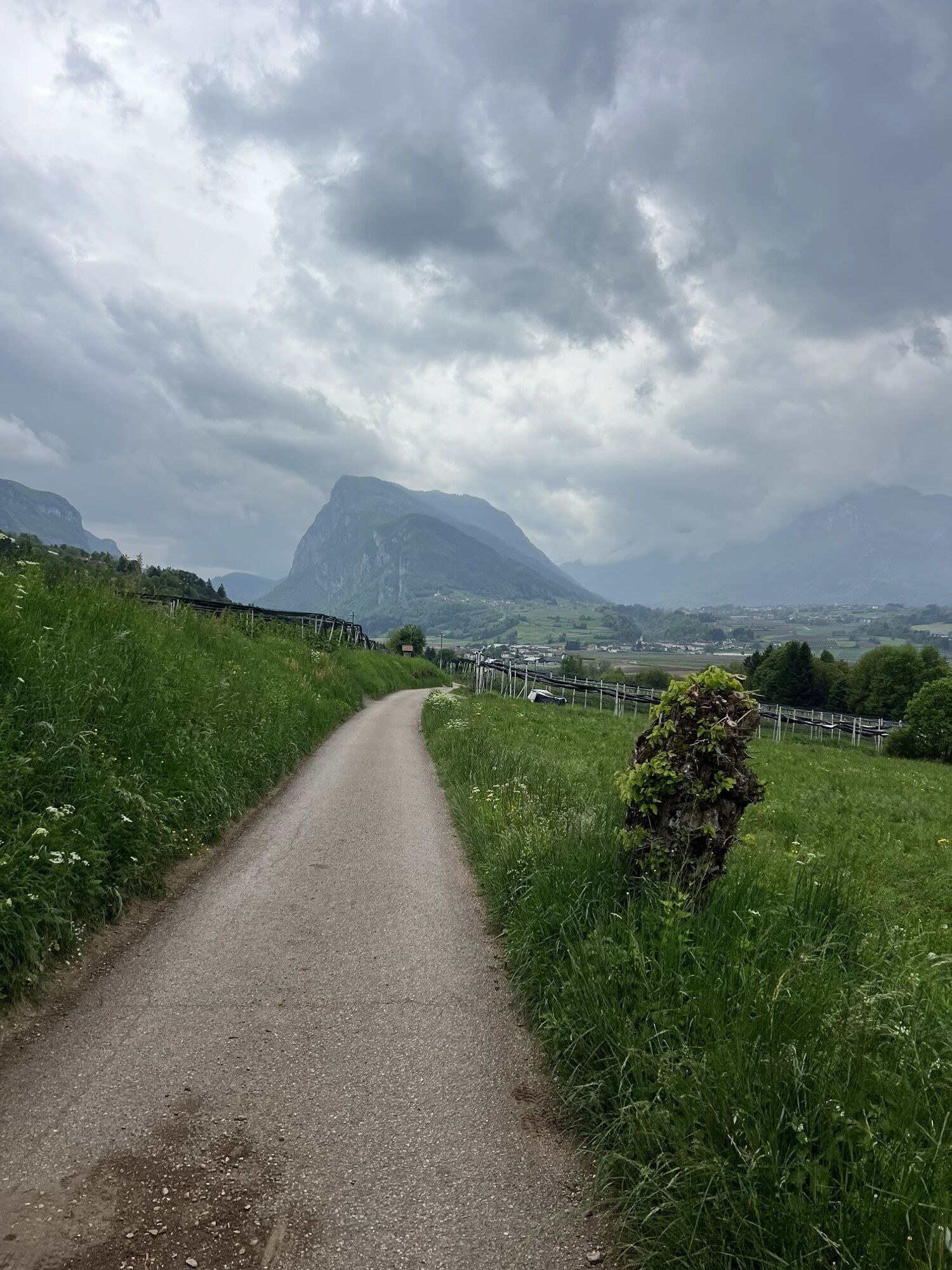
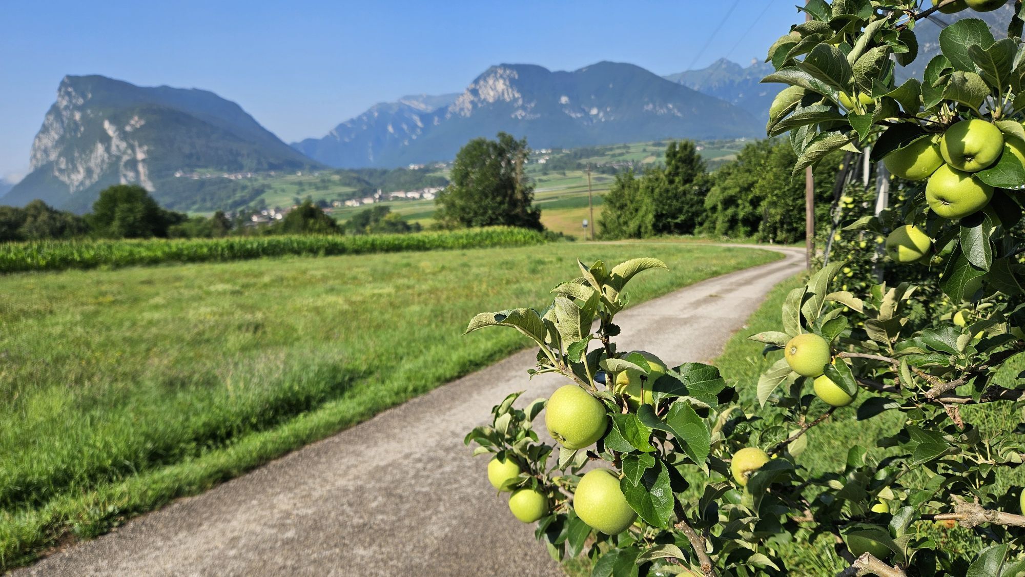
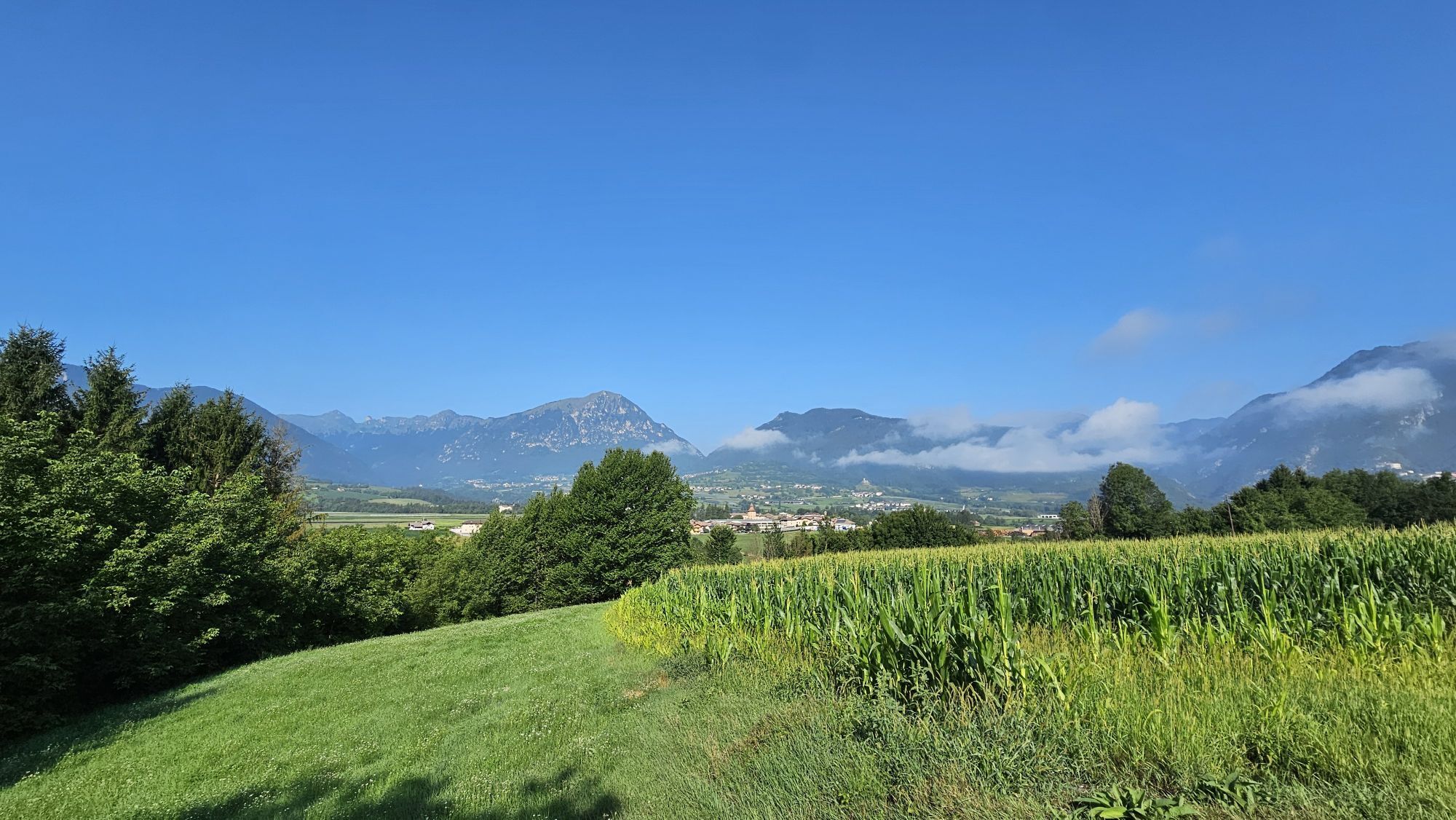
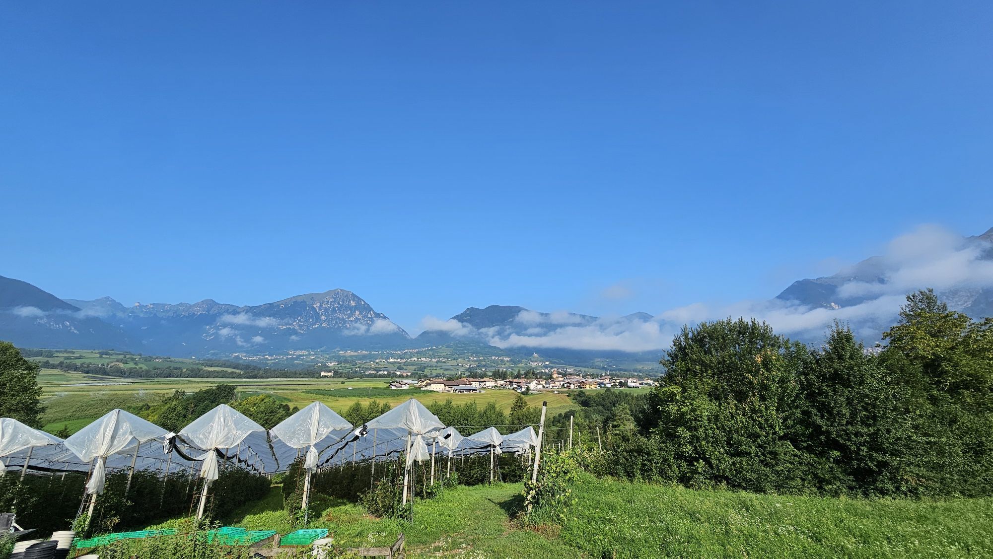
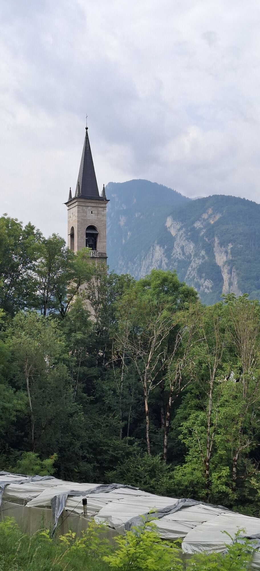
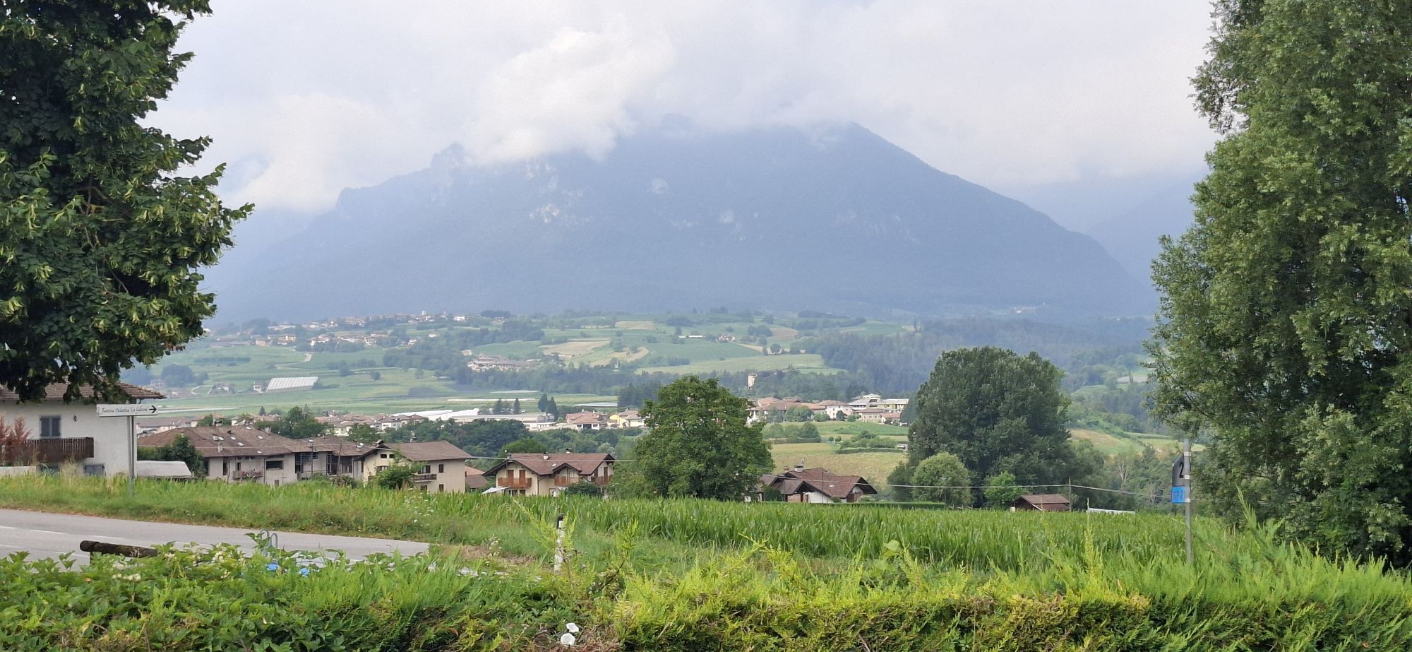
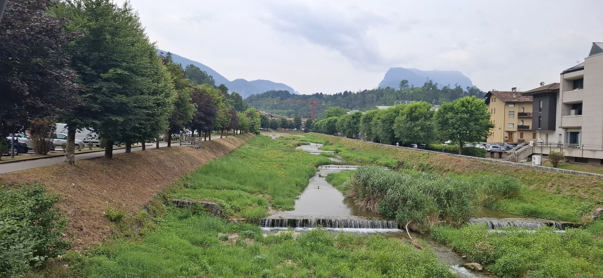
Starting at Ponte Arche, pass through the villages of Godenzo and Comano. There is a very long climb towards Monte Casale. Most of it is along a gravelled road through...
Signage: 952. Monte Casale Trail-Tour
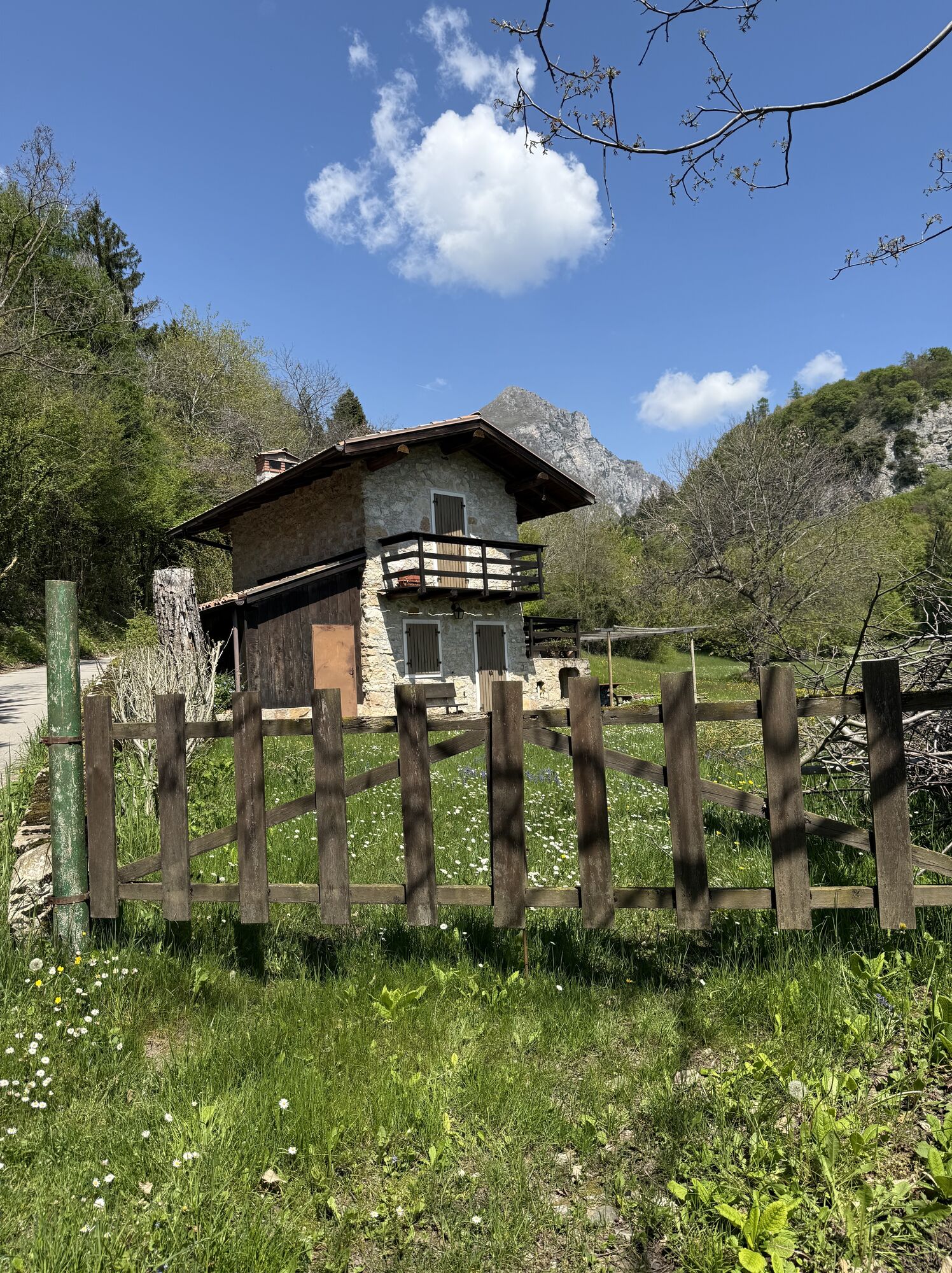
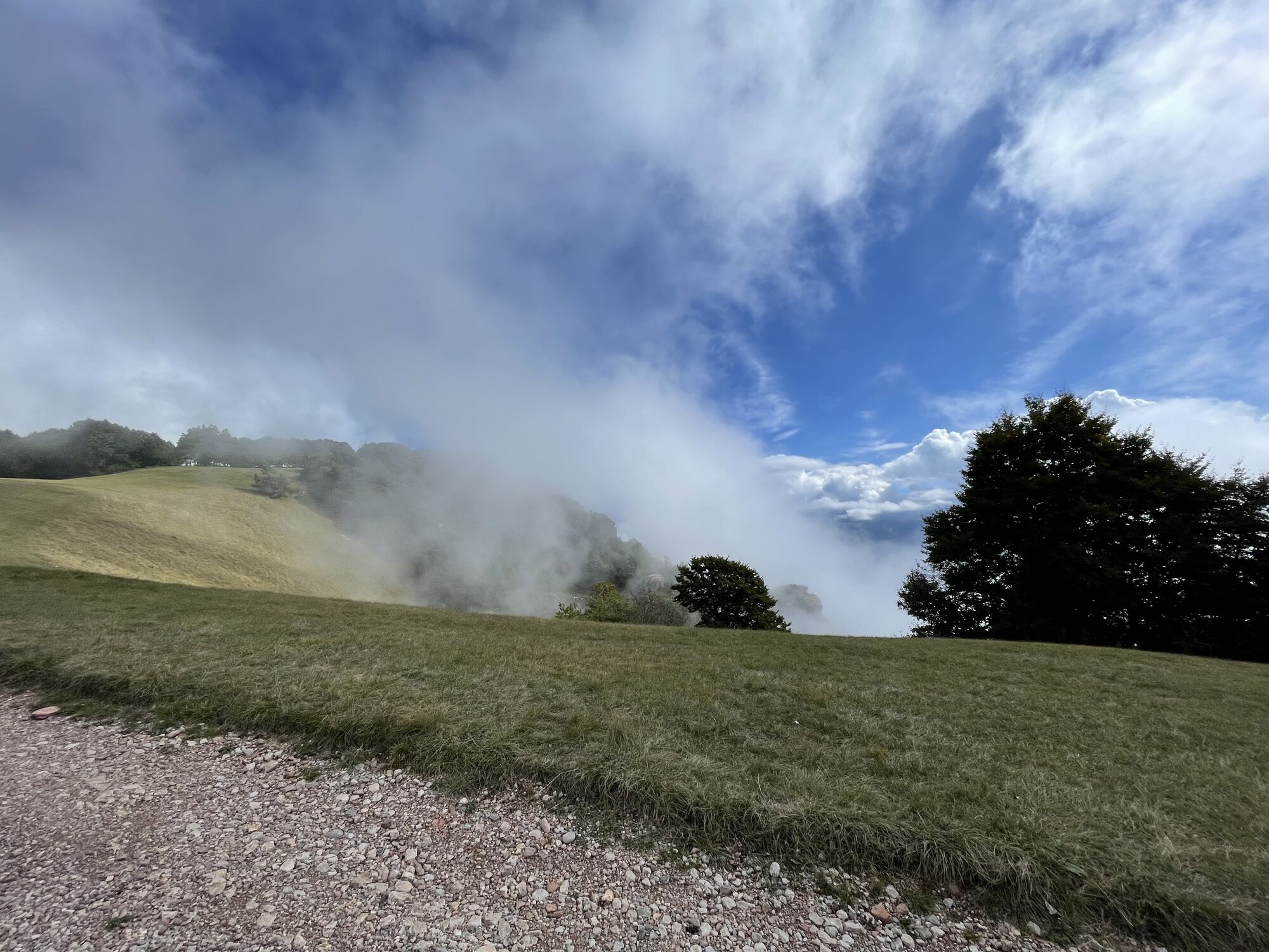
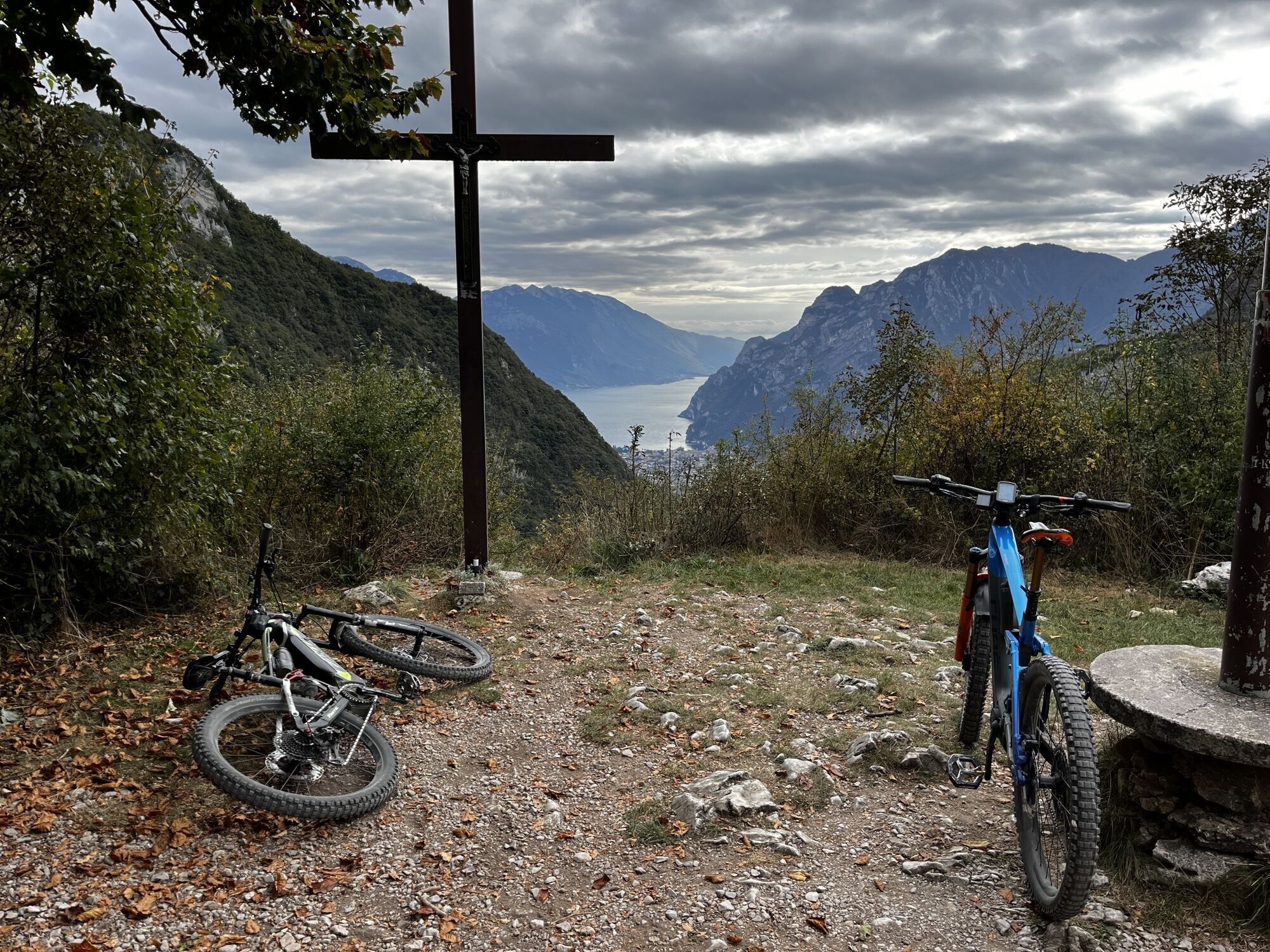
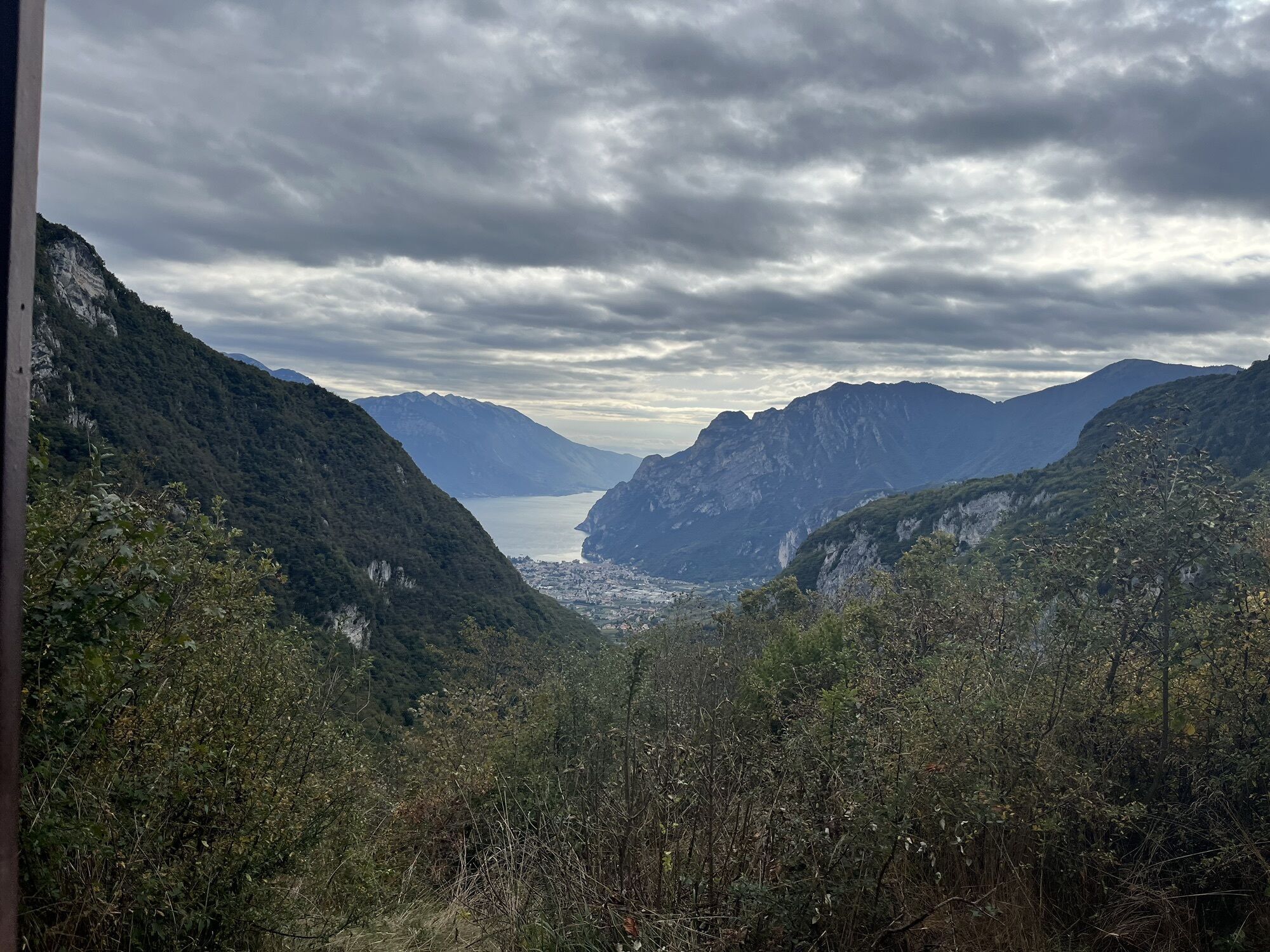
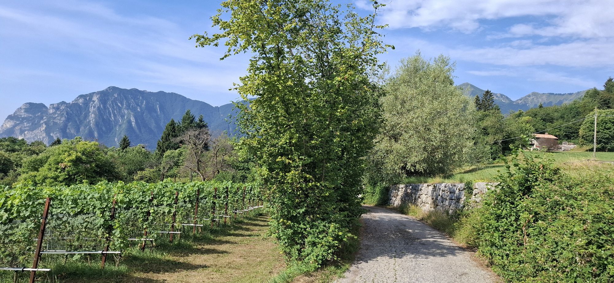
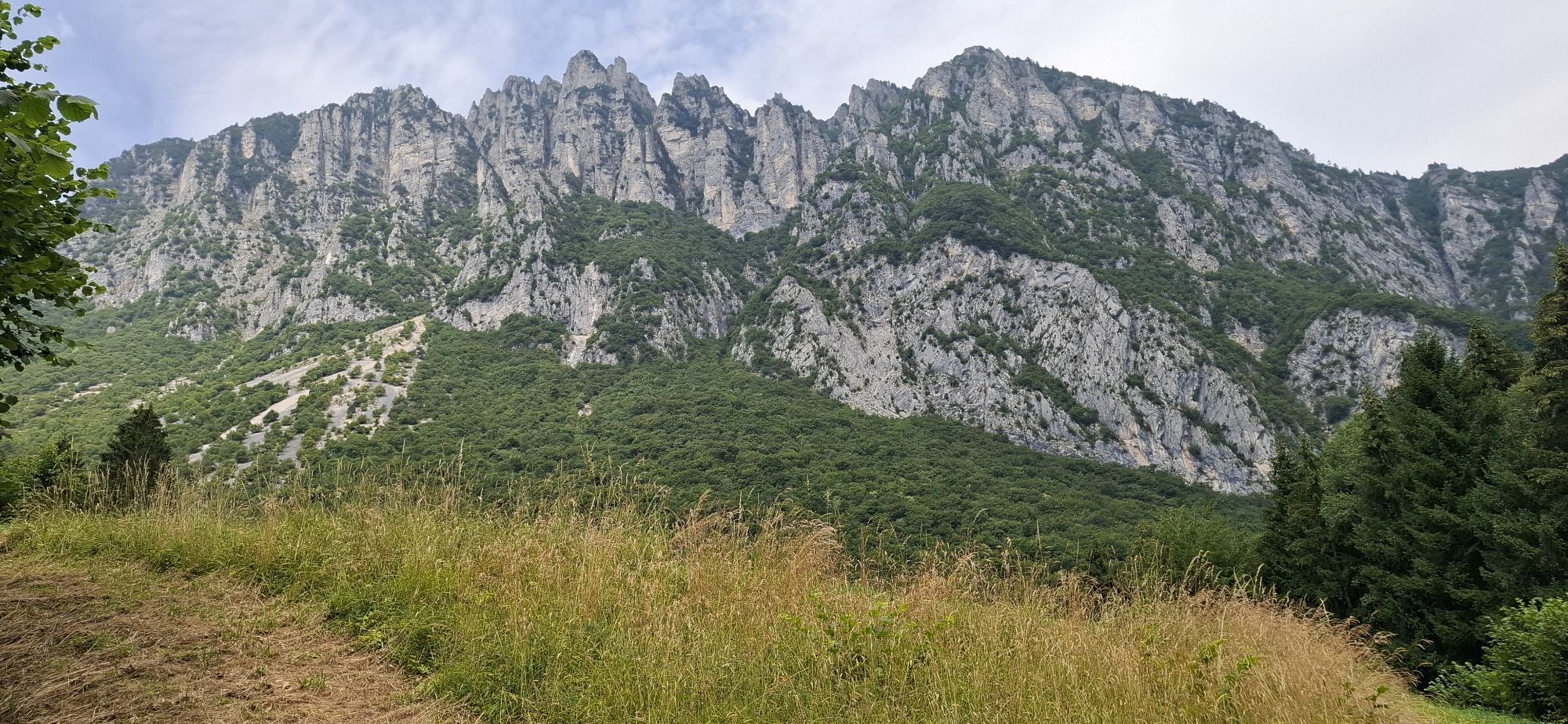
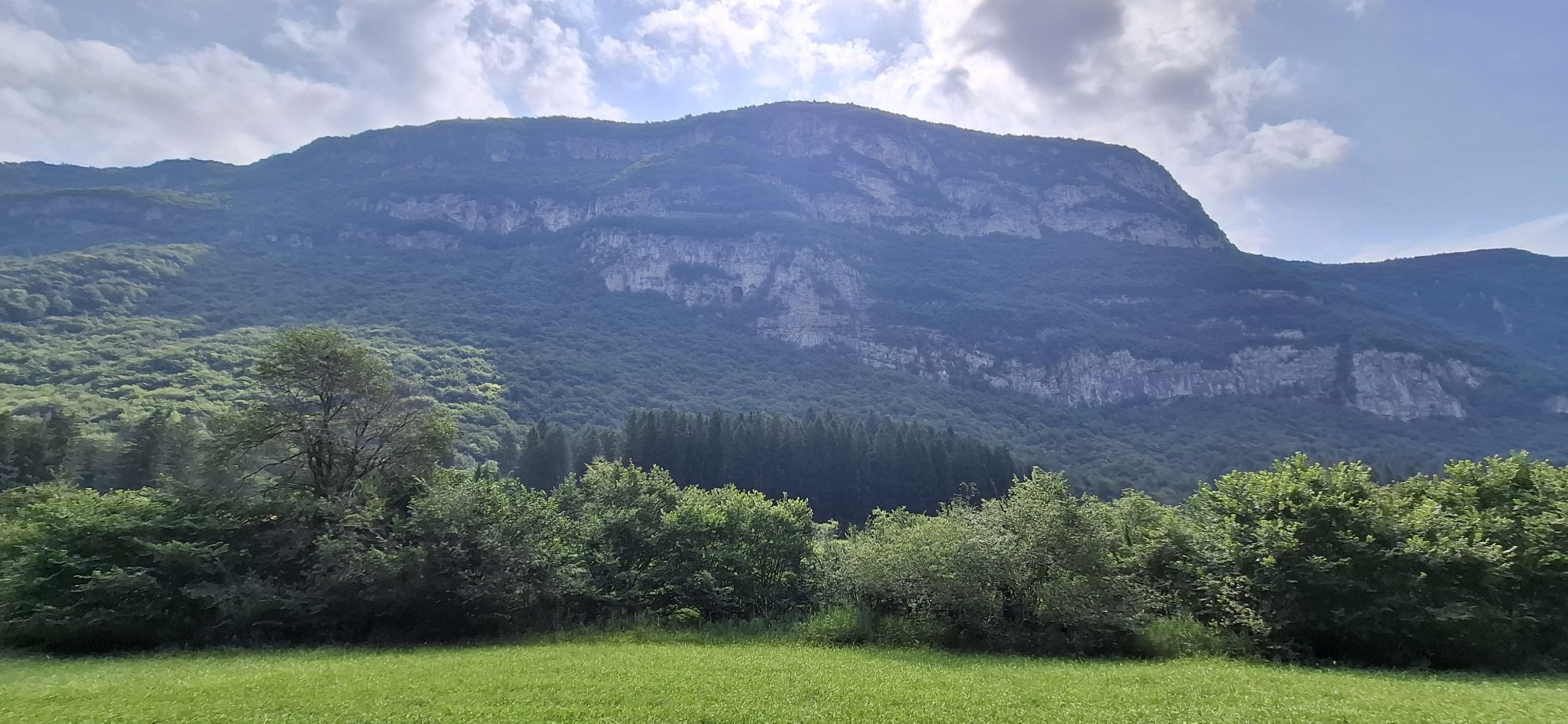
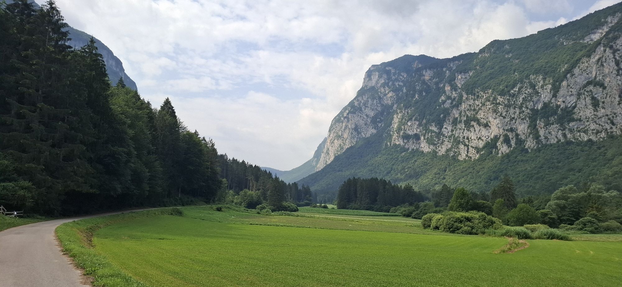
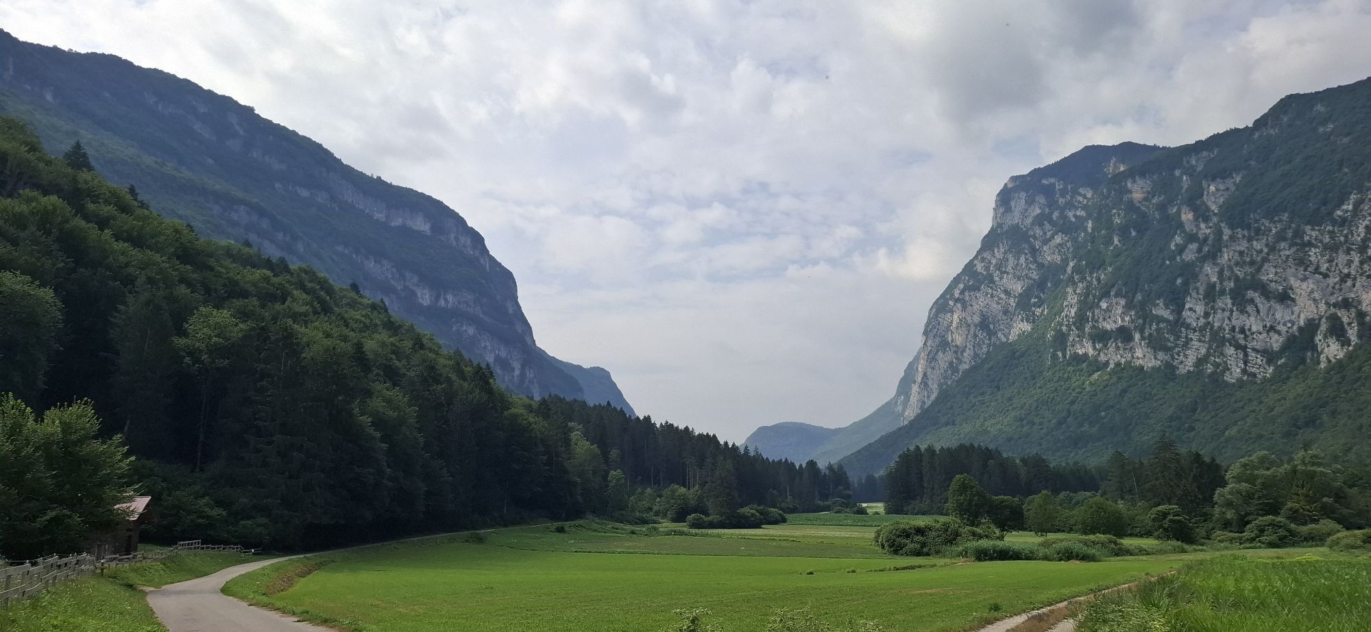
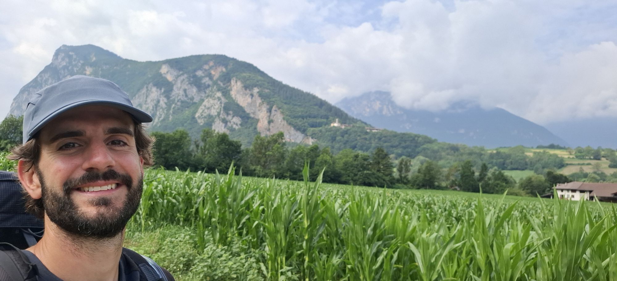
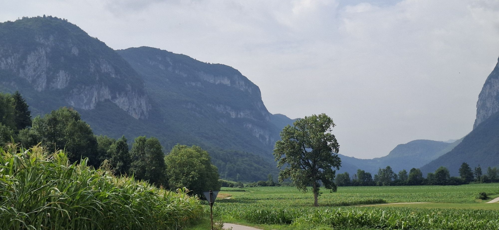
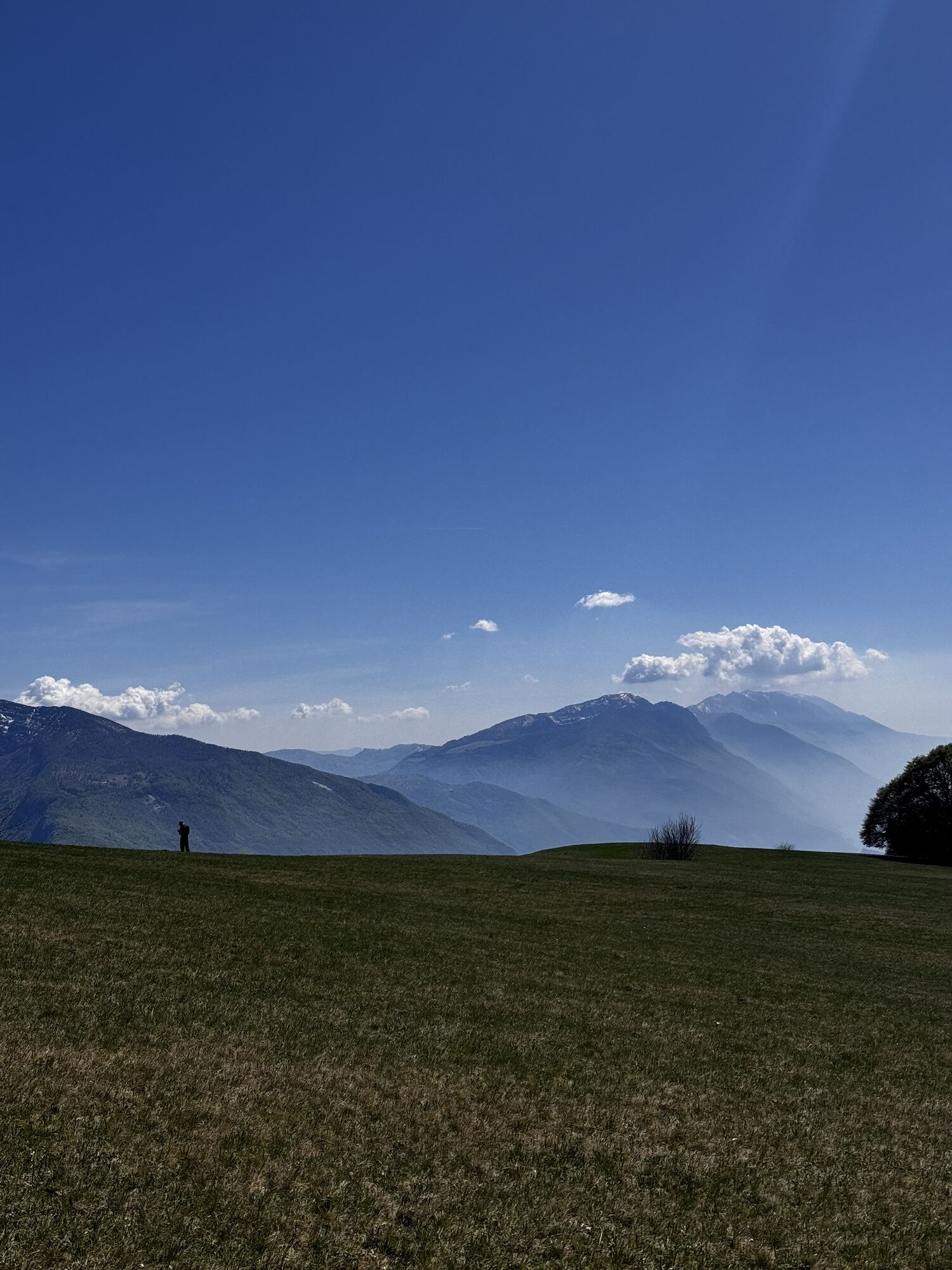
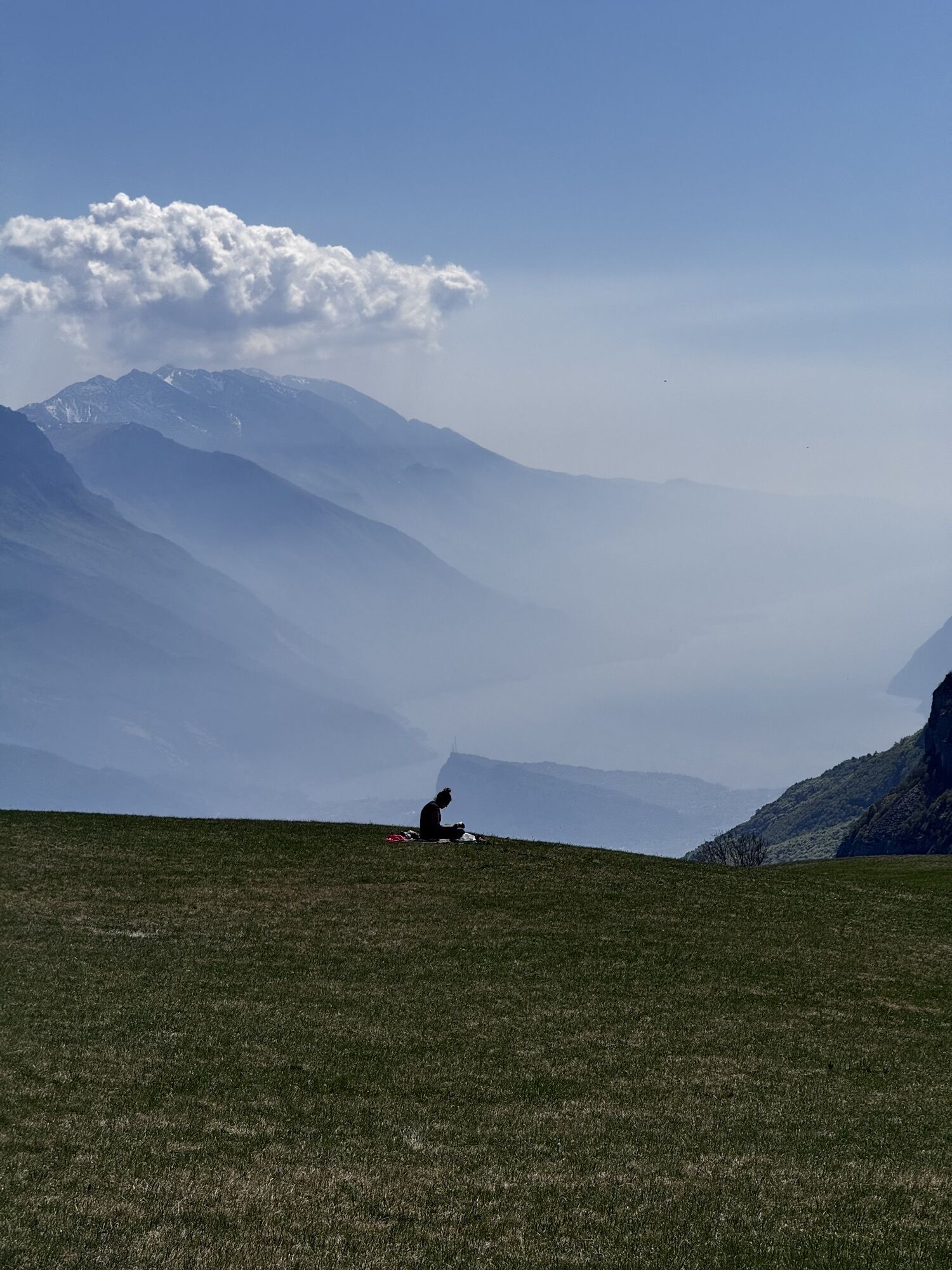
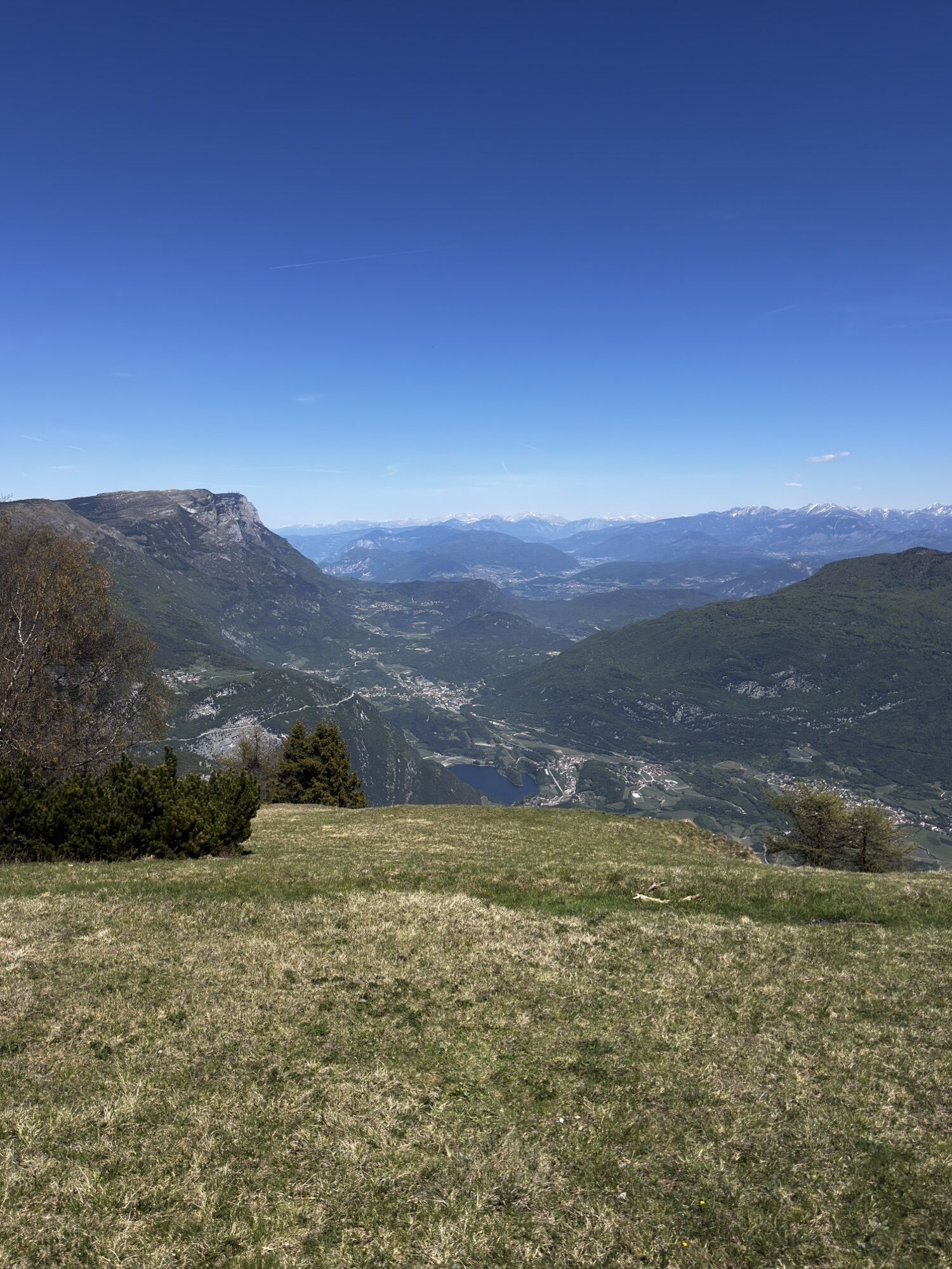
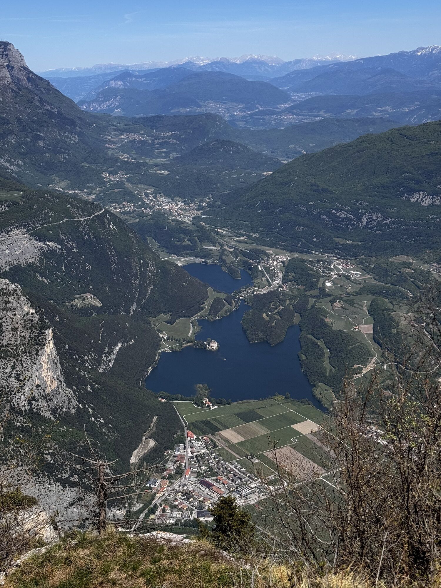
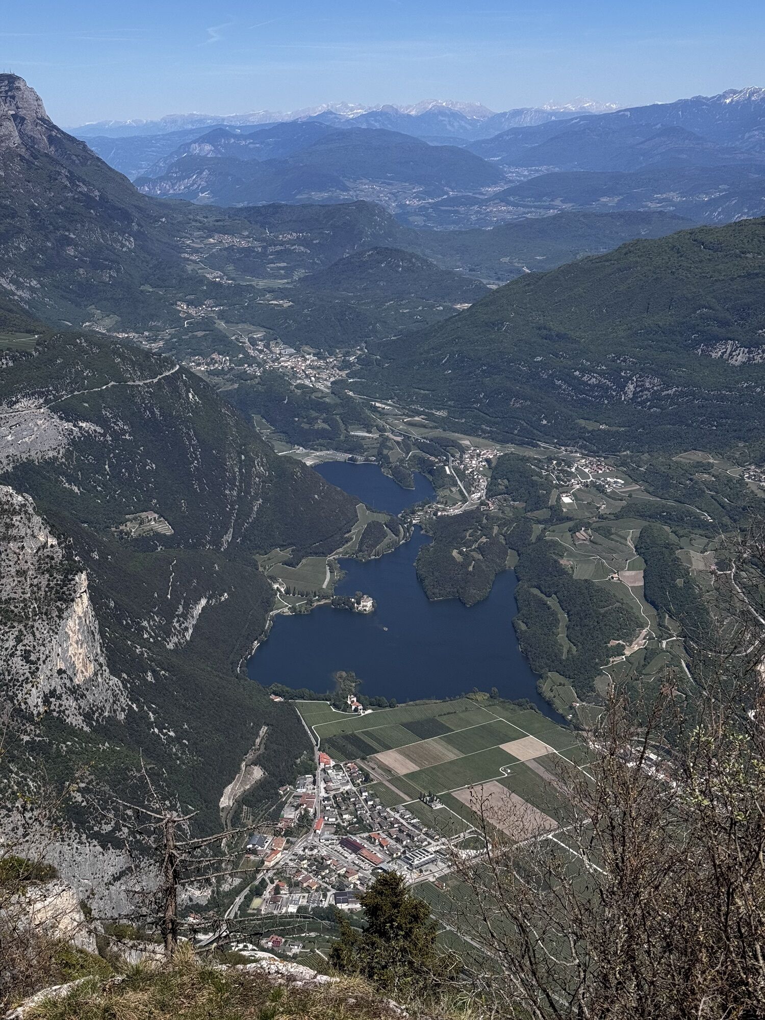
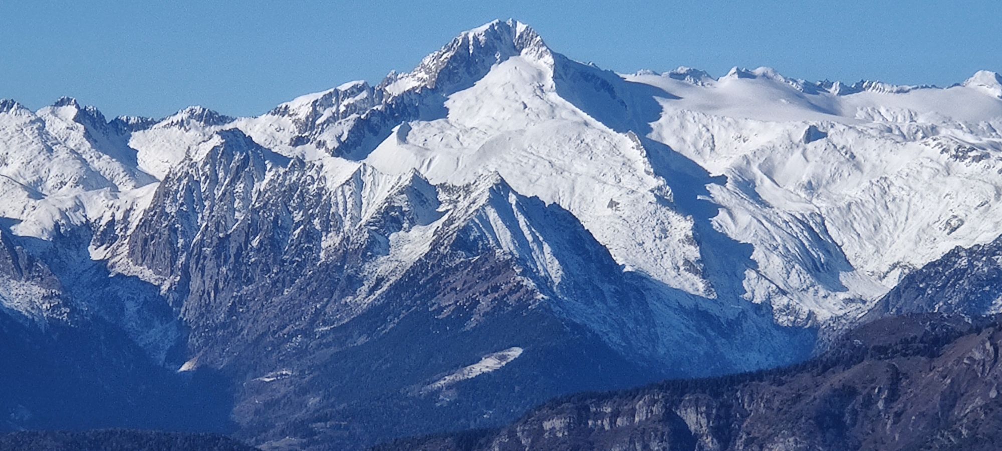
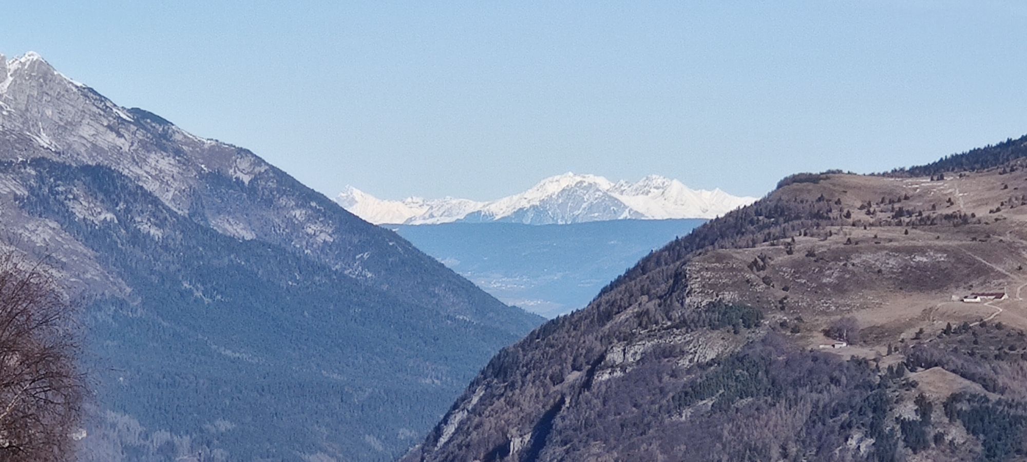
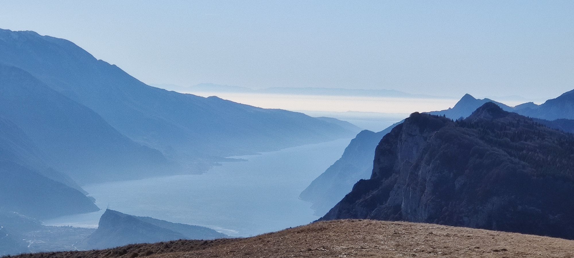
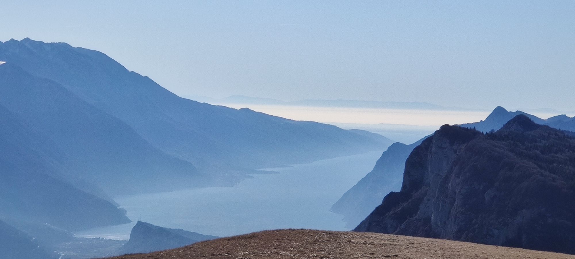
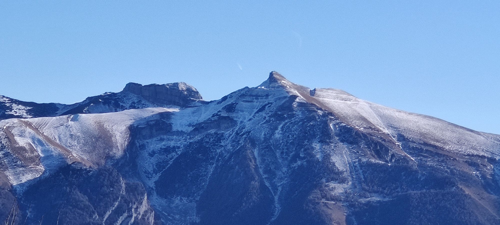
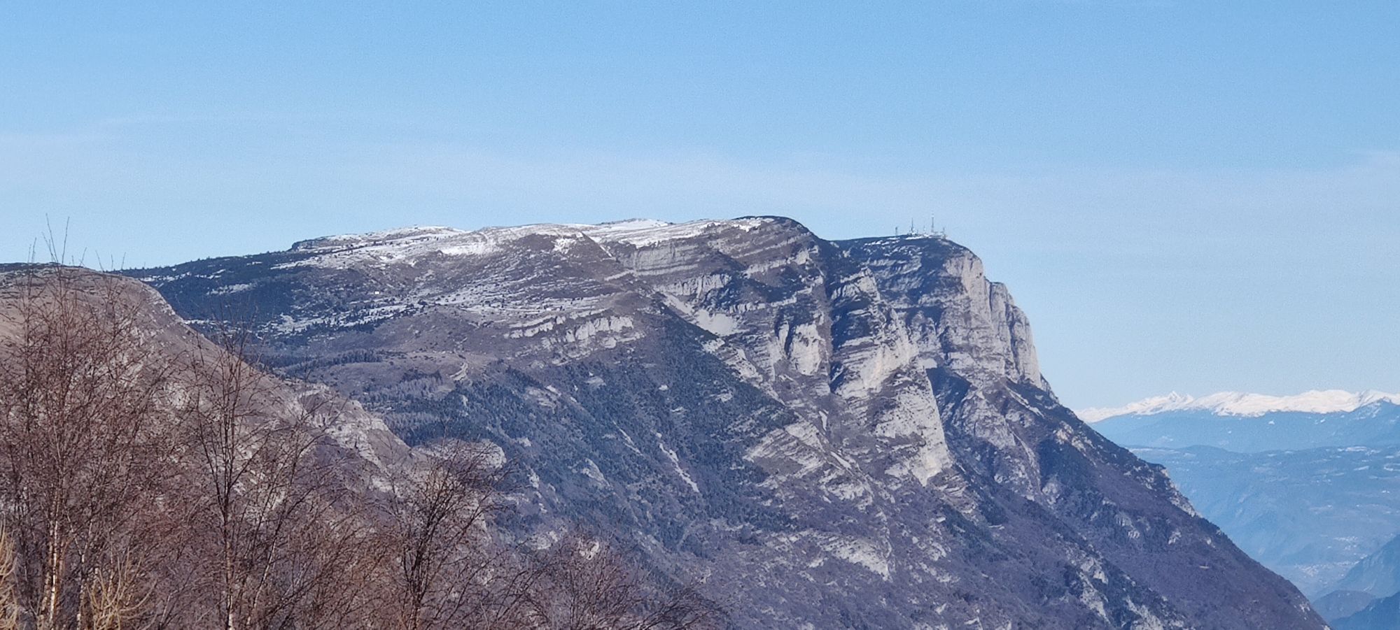
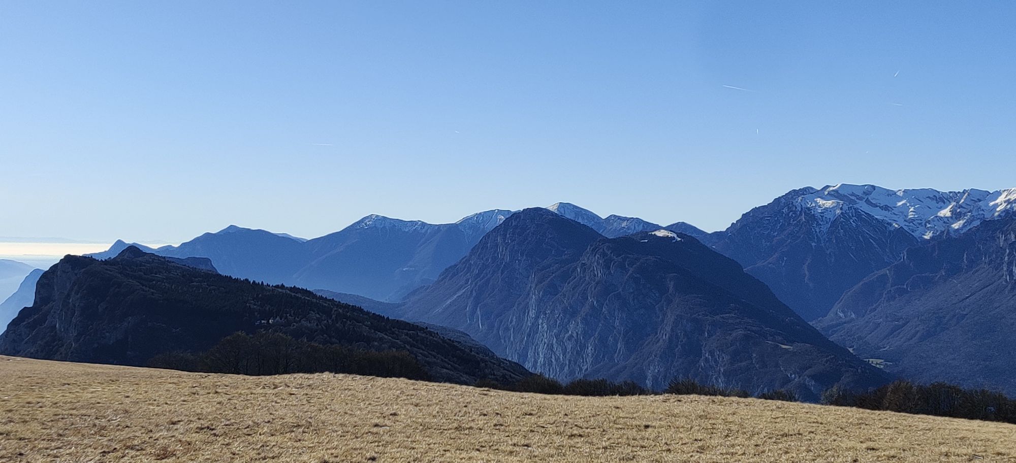
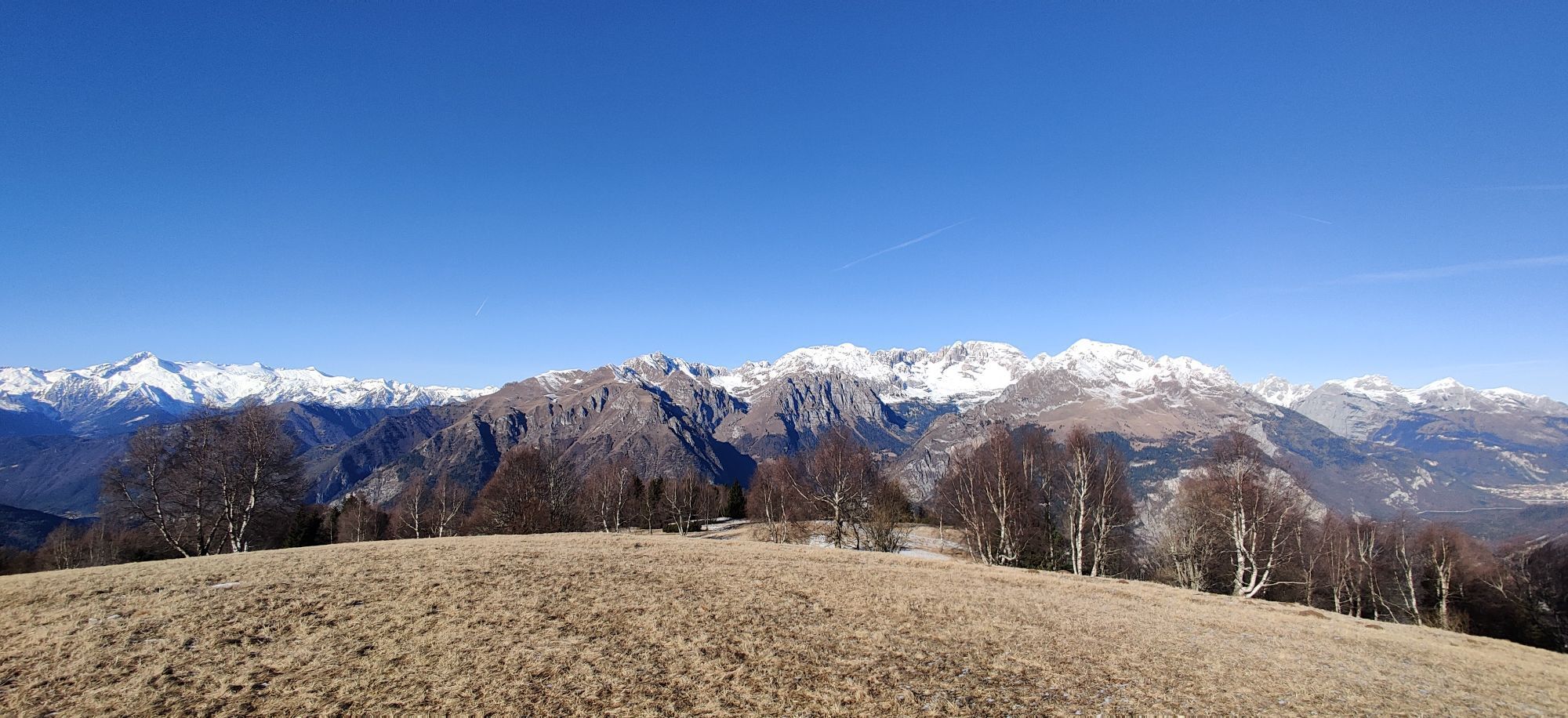
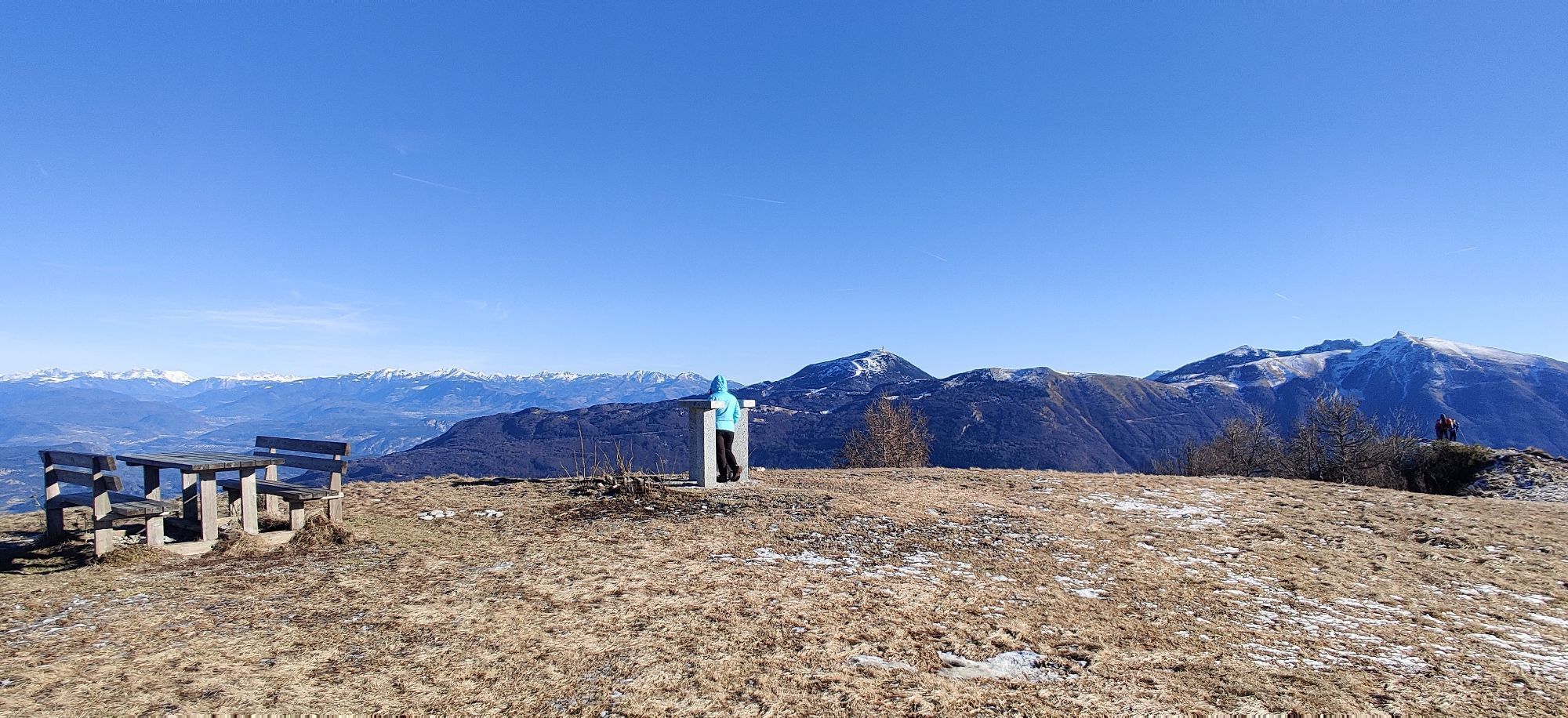
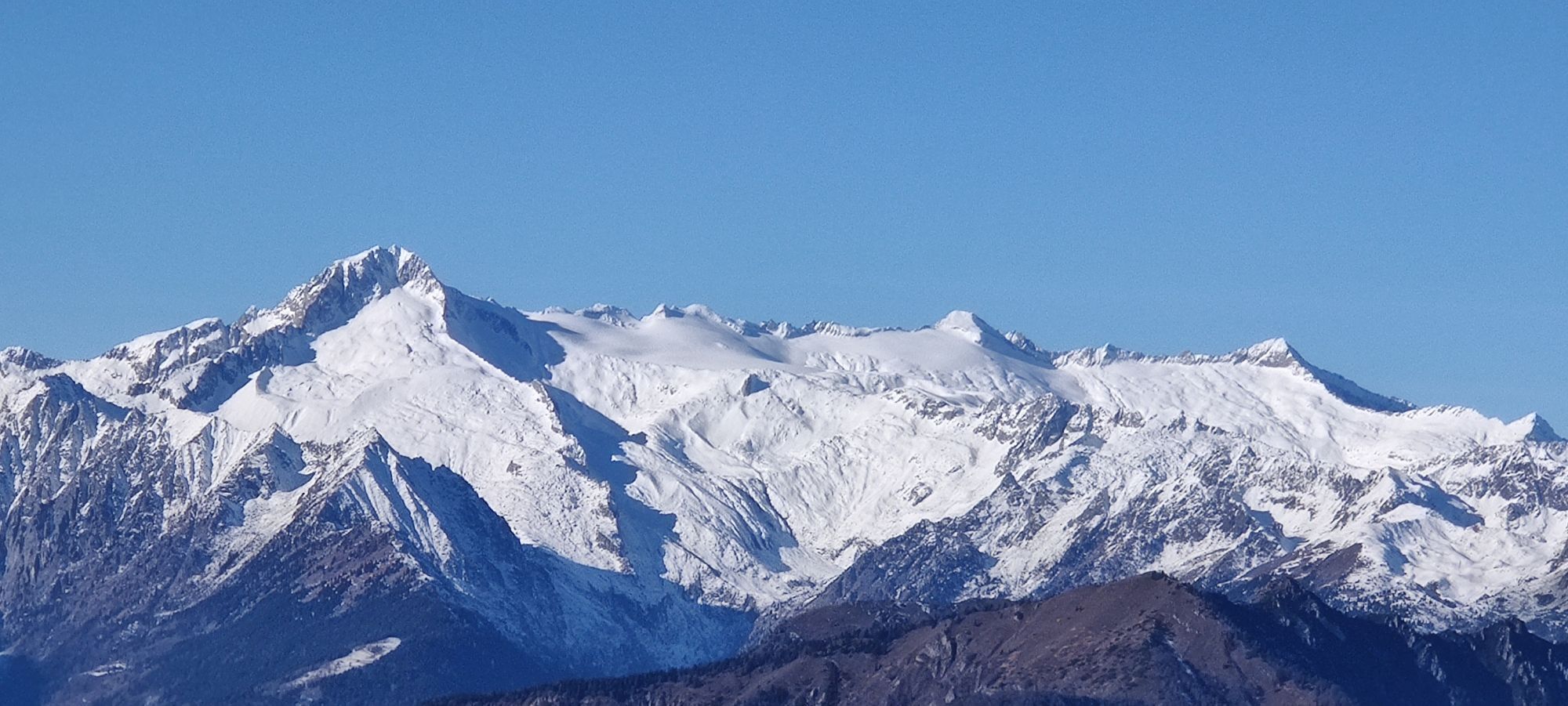
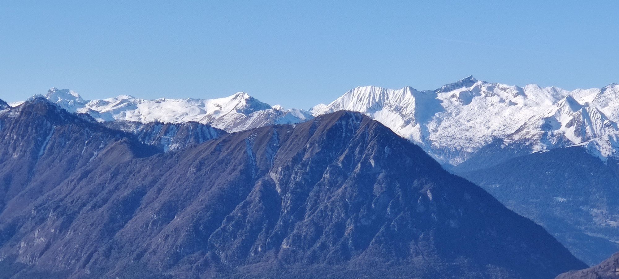
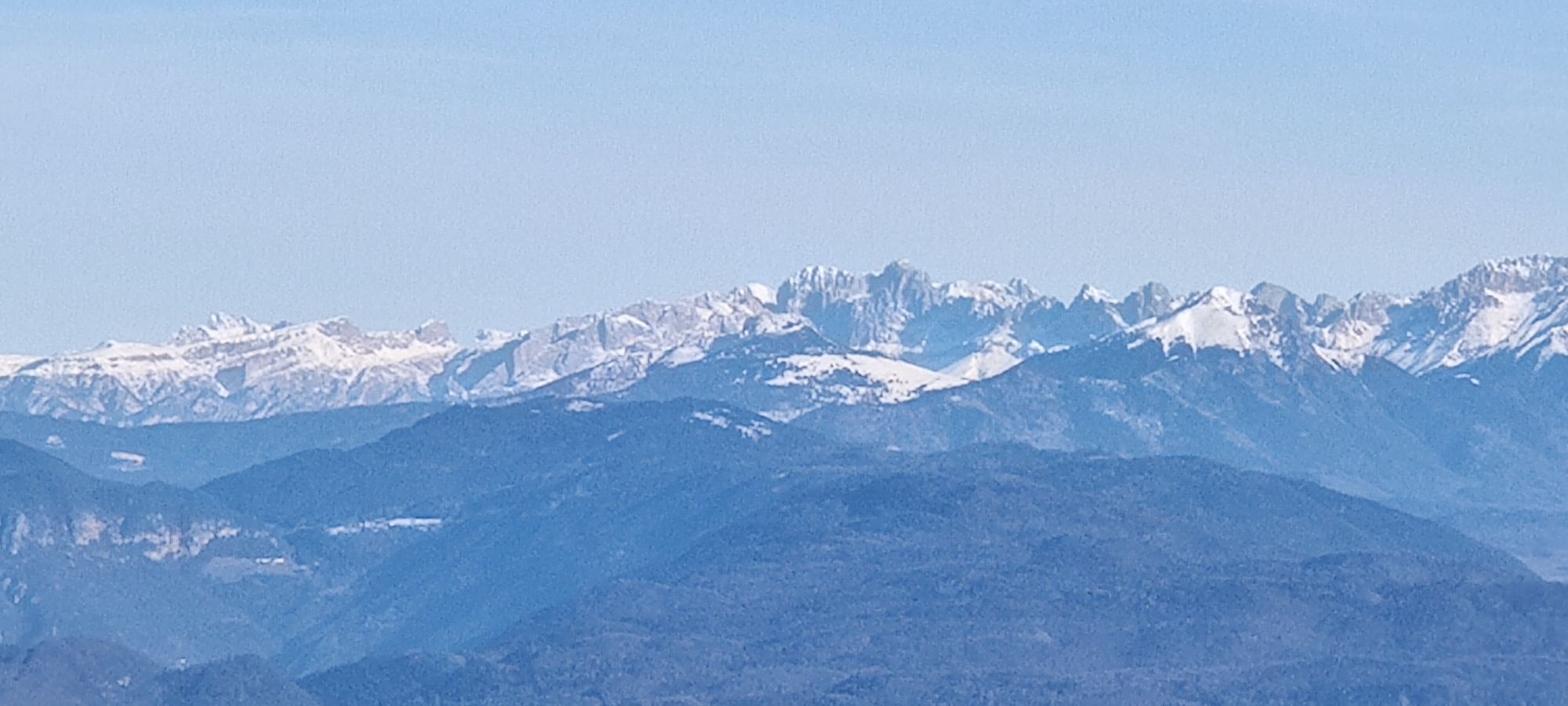
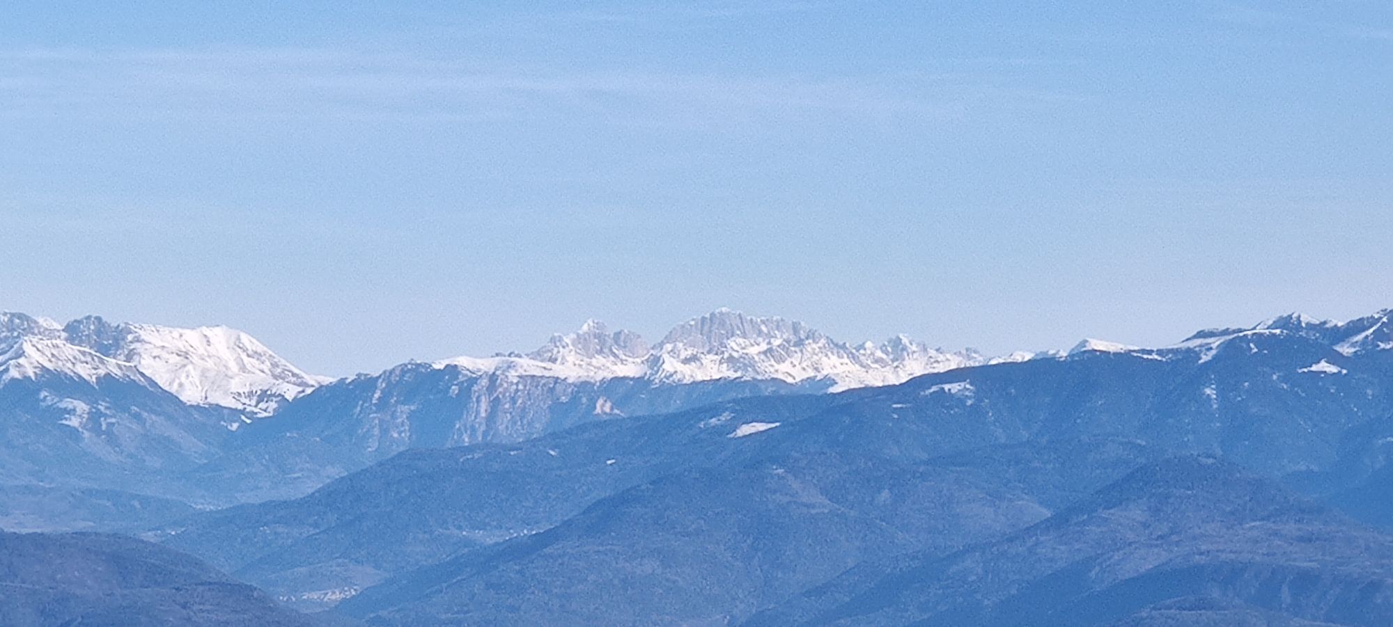
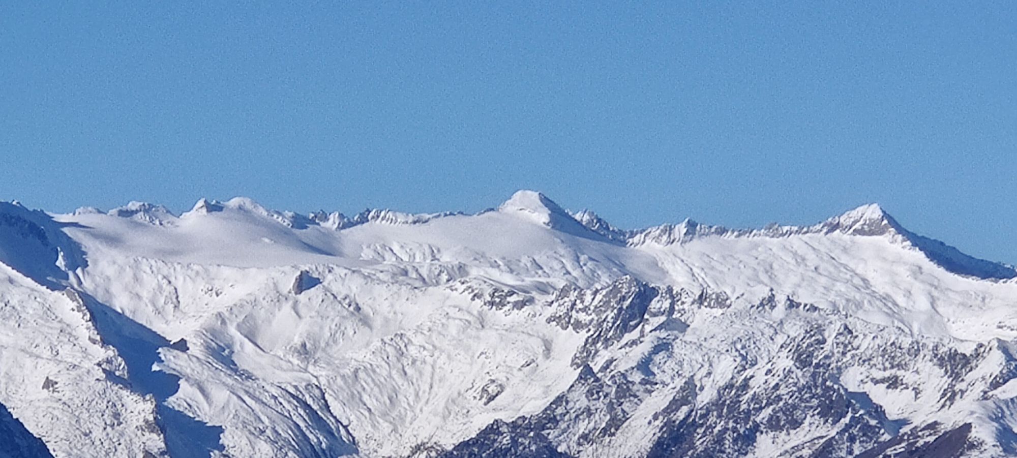
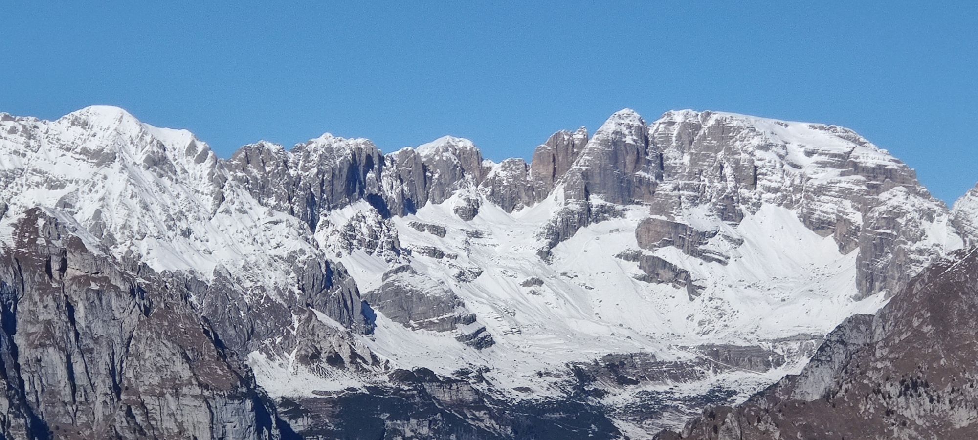
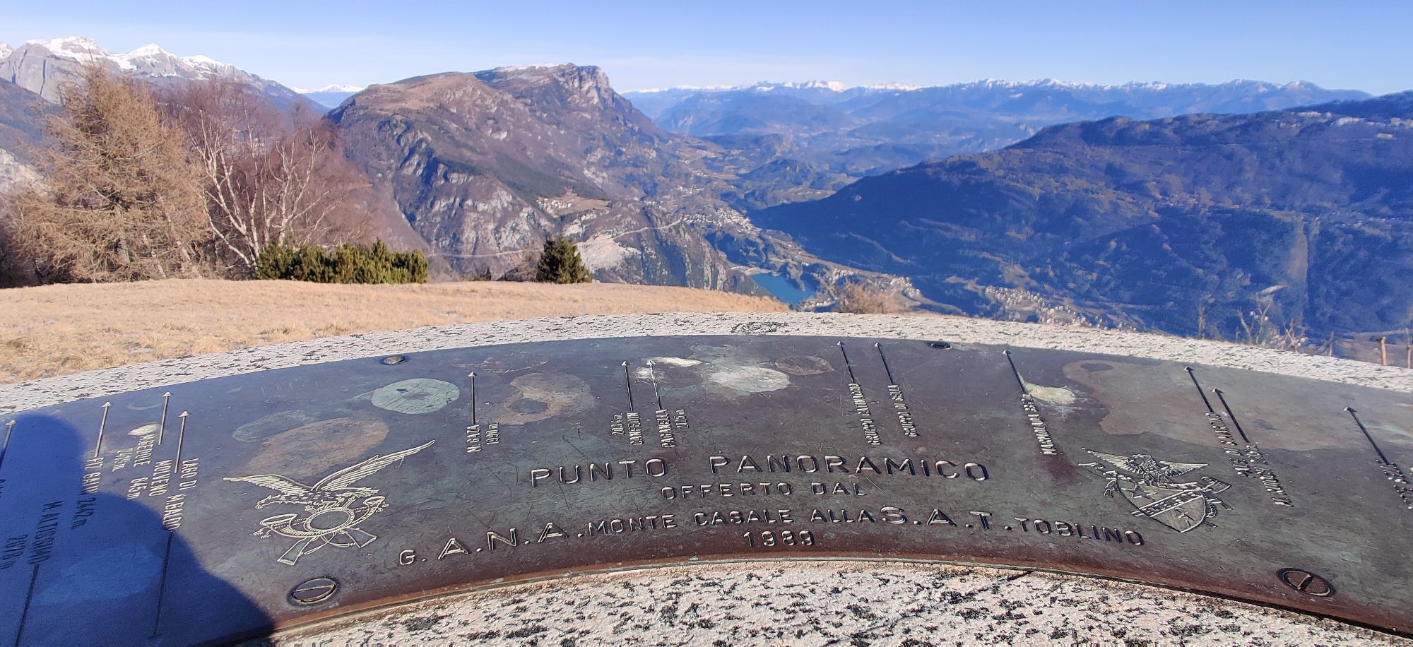
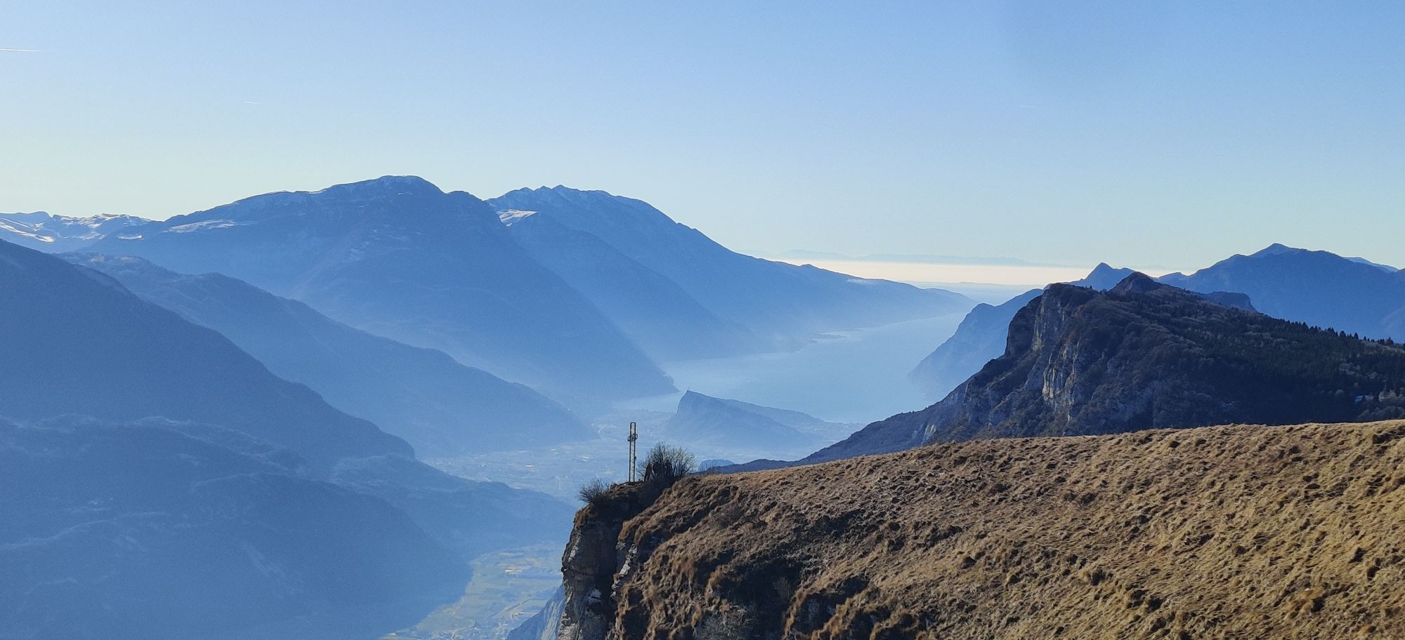
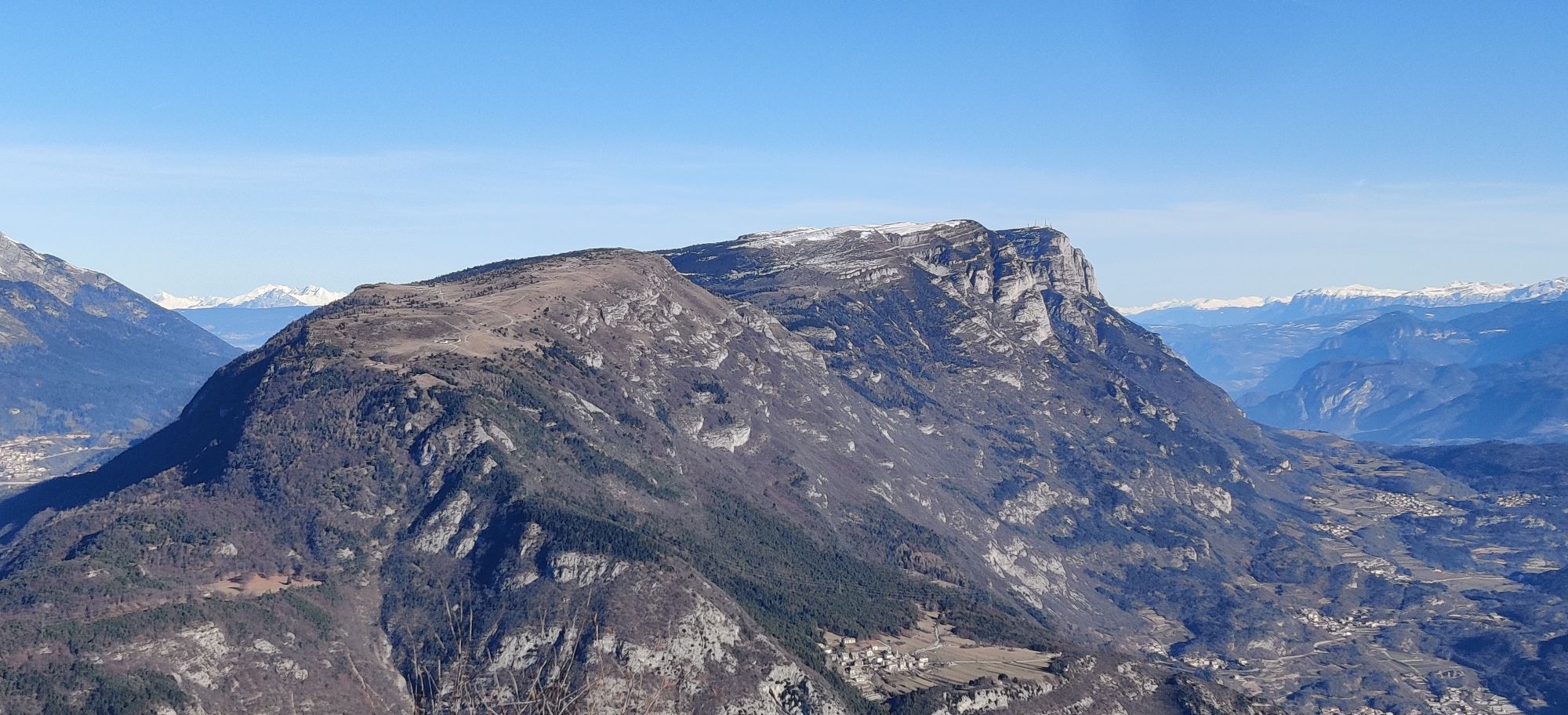
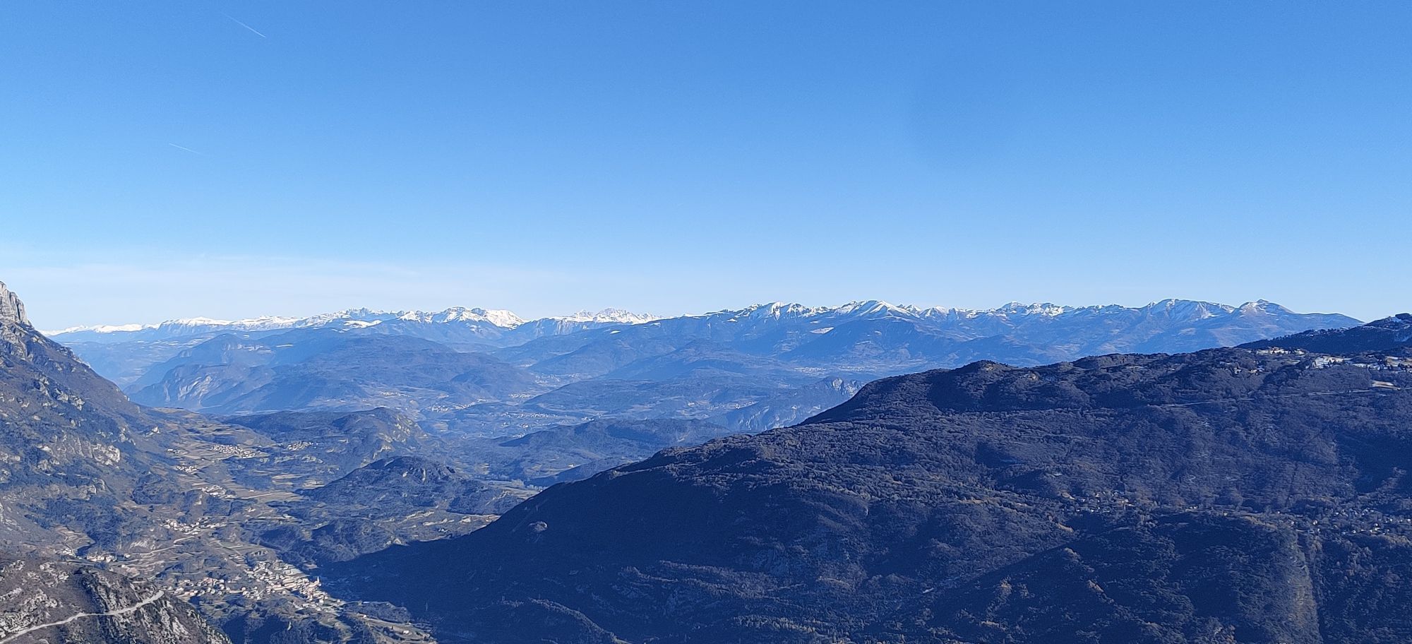
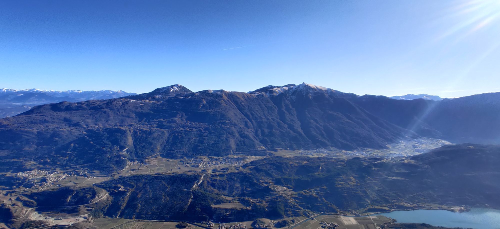
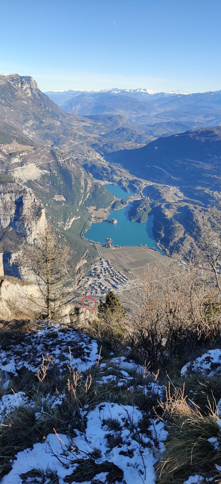
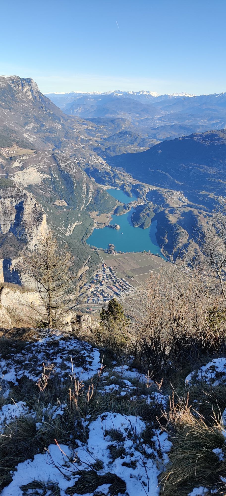
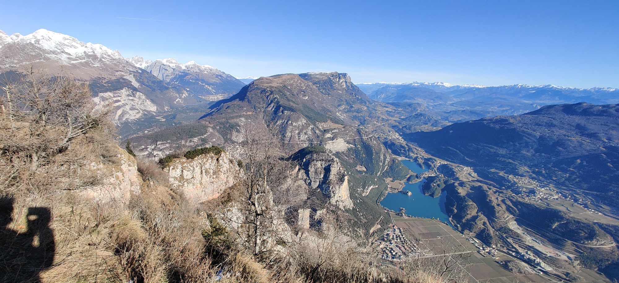
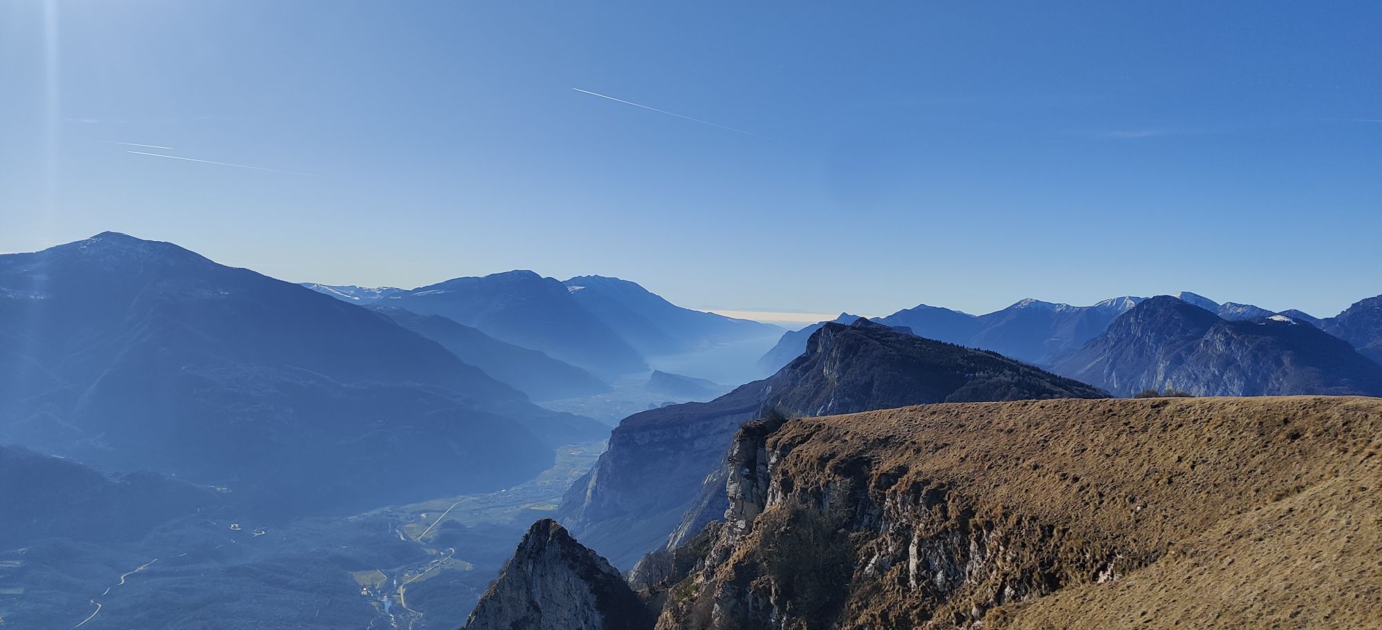
Starting at Ponte Arche, pass through the villages of Godenzo and Comano. There is a very long climb towards Monte Casale. Most of it is along a gravelled road through the forest. The last part crosses alpine meadows and leads to the top with its iron summit cross. The view is phenomenal: you can see right out to Lake Garda, right down to Lago di Cavedine and the bizarre landscape of the Marocche, and on the other side into the lofty mountains of the Brenta Group. You now have a long, rapid descent ahead of you – partly on forest tracks, partly on trails – before tackling another short climb around Sella di Calino (don’t miss out on a detour to the Rifugio di San Pietro). Ride through the magnificent scenery of Val Lomasona and then, at the very end, take a short trail right back to the starting point in Ponte Arche.

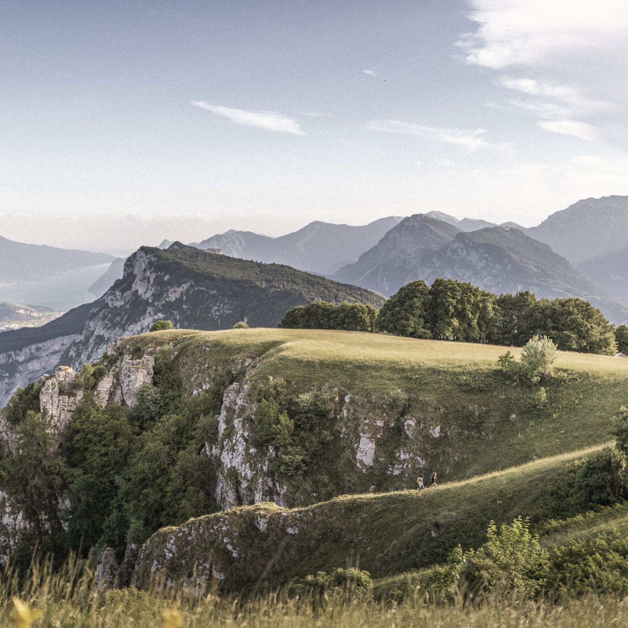
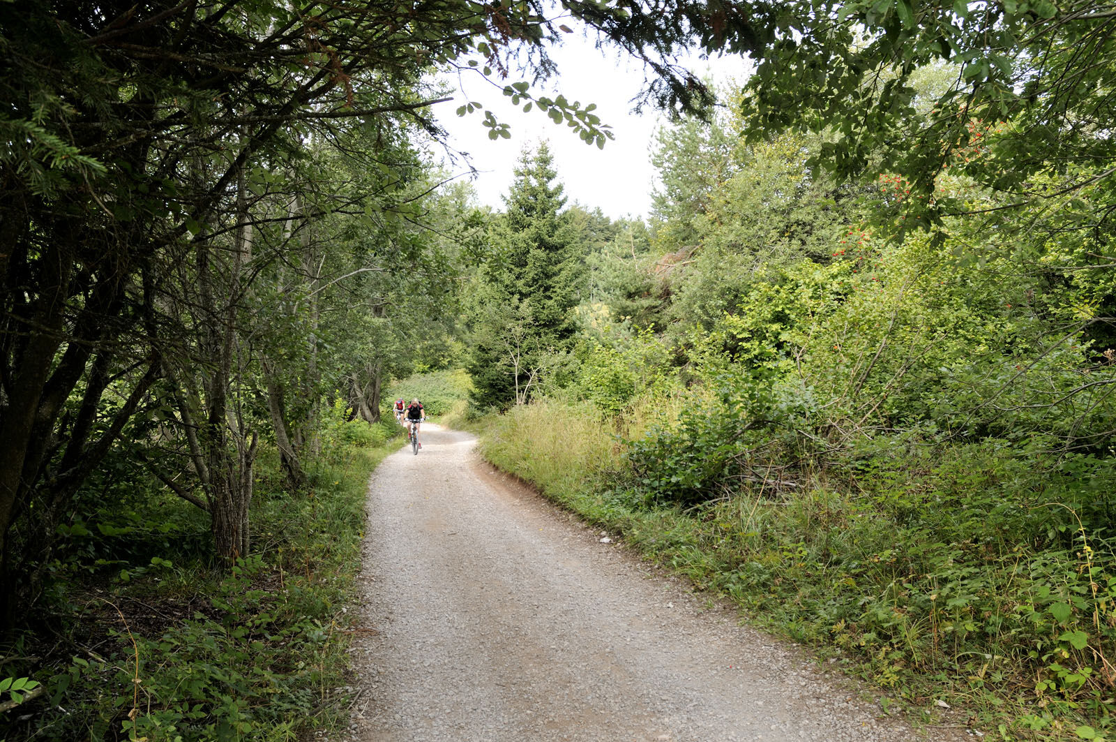
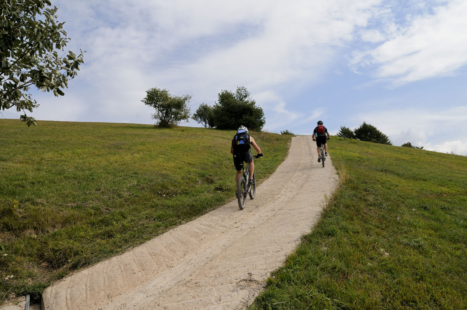
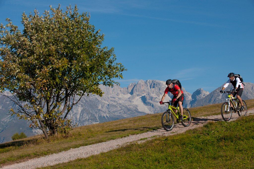
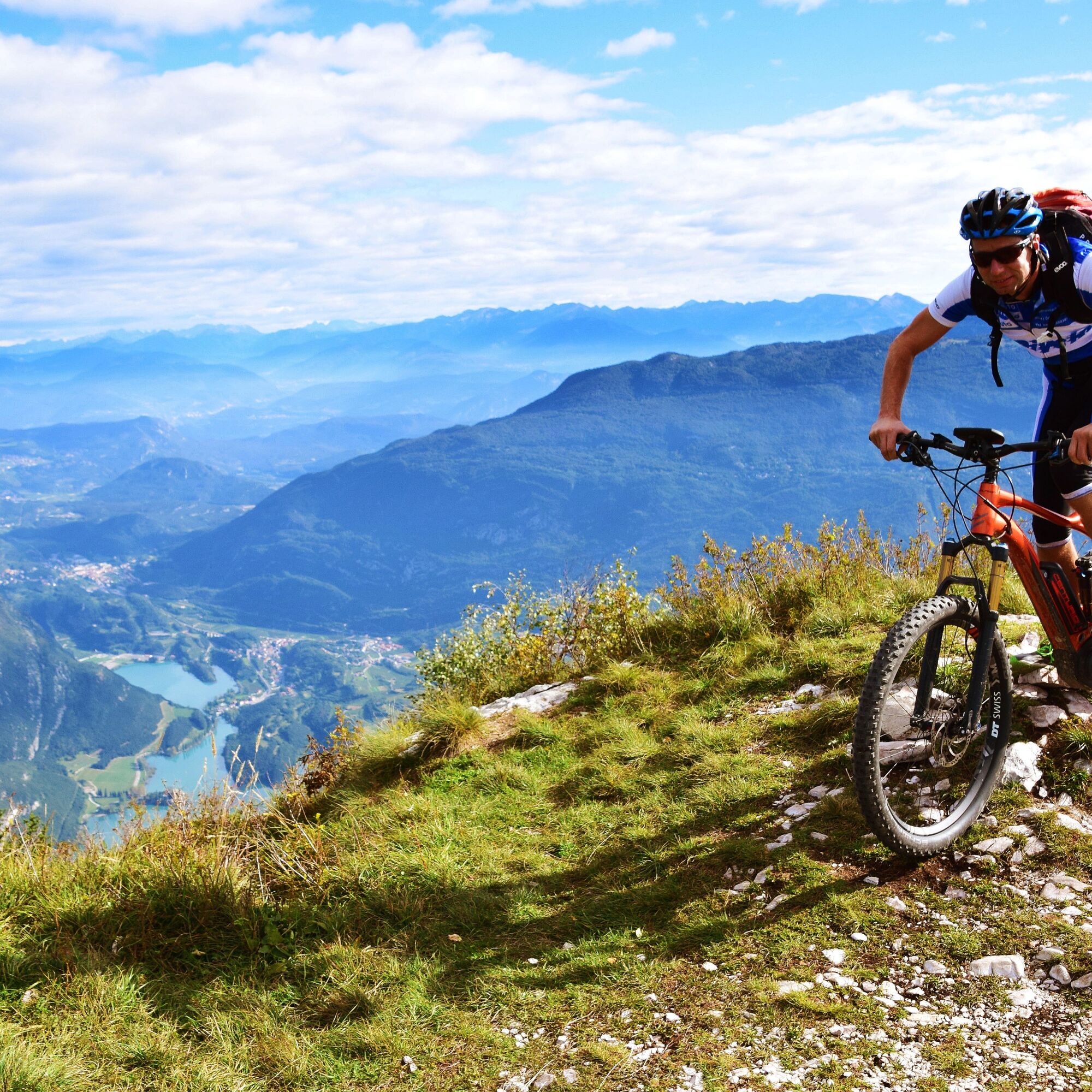
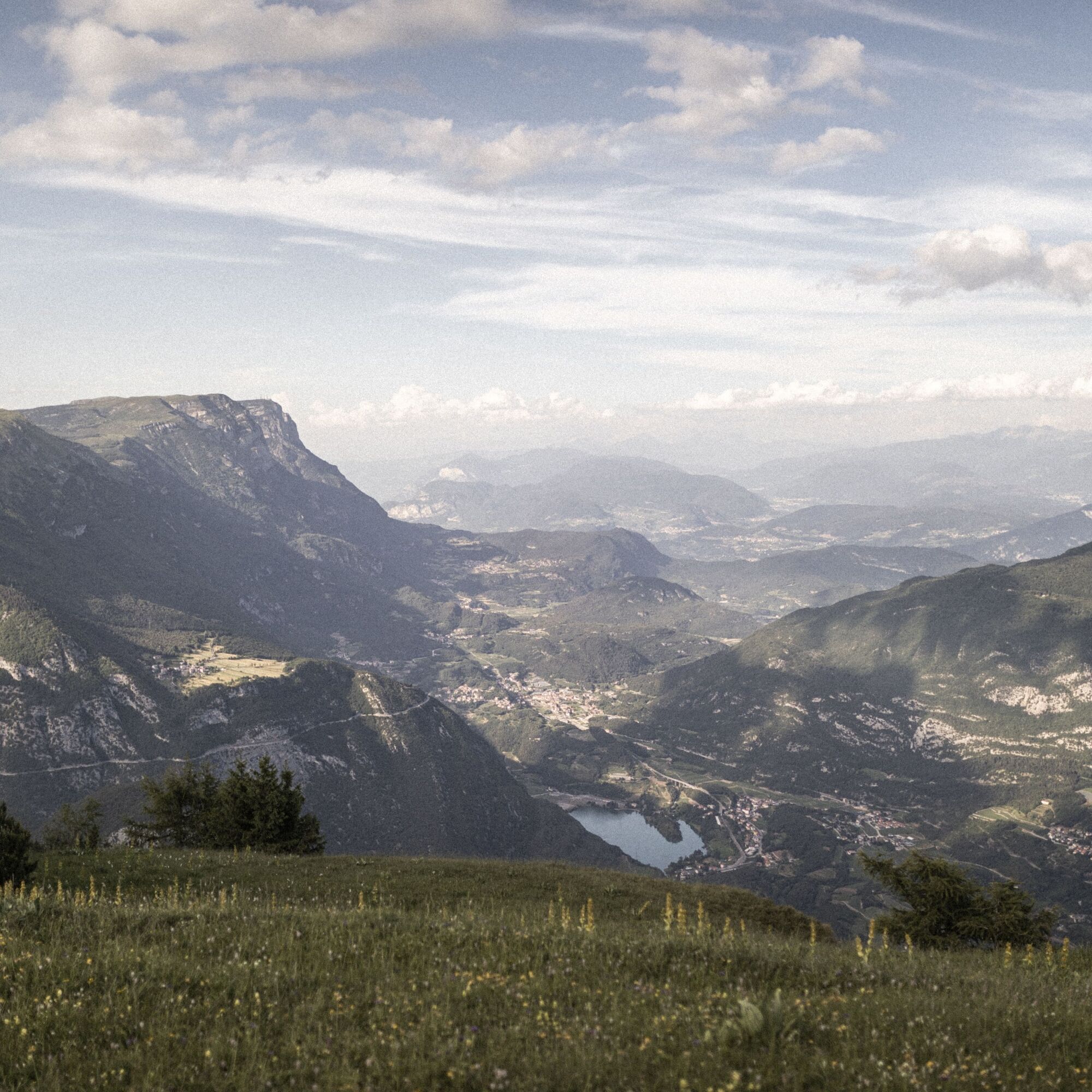
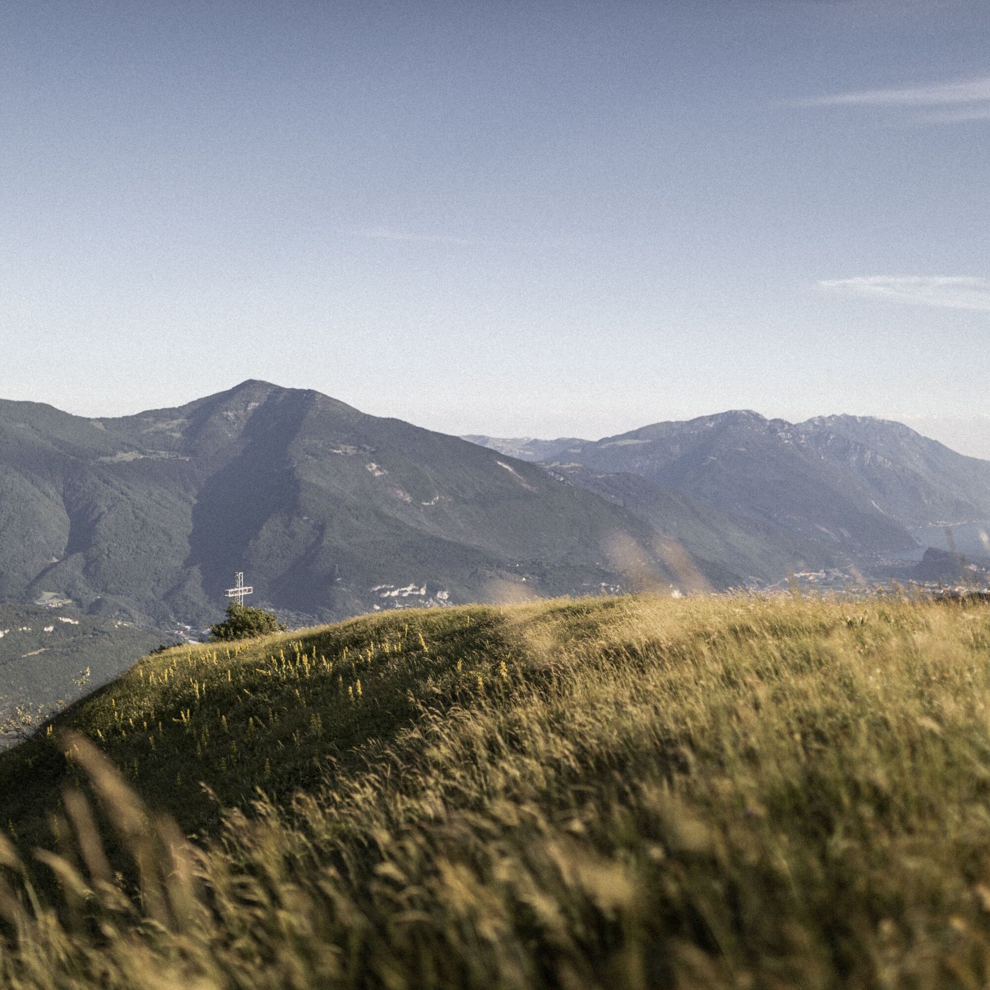

The first part of the tour is a long and at times steep climb on an asphalted forest road, from Ponte Arche through the villages of Poia and Comano to the wide plateau on the top of Monte Casale. This section of about 12 kilometers has an average gradient of 10 percent and a difference in altitude of about 1200 meters. From Monte Casale you can enjoy a breathtaking 360 degree panorama which encompasses seven lakes (Lake Garda, Lake Cavedine, Lake Toblino, Lake Santa Massenza, Lake Molveno, Lake Terlago and Lake Nembia).
At the end of the climb, after you've taken in the wonderful panorama, continue on a technically interesting trail on the southern ridge. Alternating between trails and forest roads ride past Monte Brento and Malga Valbona before taking the fun Sentiero dei Russi towards San Giovanni.
Once you've reached Treni keep on the asphalt road and go round Monte Calino to the Sella di Monte Calino, that starting point of a rather demanding trail that leads downhill into Val Lomasona. Once you reach the valley floor, the rest of the ride back to Ponte Arche is on a gentle slope.
Riding your bike requires specific clothing and equipment, even for relatively short and easy trips. It is always better to be prepared… e.g. for bad weather or a sudden drop in your energy levels. The unexpected things are part of the fun!
Remember to thoroughly evaluate the type of route you plan on doing, the locations you intend to cross and the current season. Has it been raining? Attention: The paths may be slippery and require more caution.
What do I need to bring on my bike tour?
An adequate water supply according to your needs (considering temperature, possibility of refuelling and duration of the route) Plenty of snacks (for example, dried fruit or energy bars) Waterproof / Windproof jacket A spare top / spare socks (Descending in a sweaty garment, will make you cold). Suncream Sunglasses Bike gloves/mitts Map or GPS device Bike lights: best placed on your helmet or handlebars. (It is always best to be prepared) Bike repair kit for punctures and mechanical breakdowns First aid kit Emergency whistleIt is always advised to let someone know where you plan to go and how long you expect to be.
Emergency telephone number 112.
ITRS - International Trail Rating System
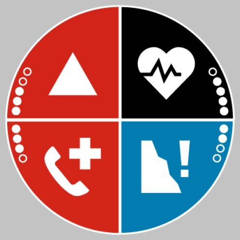
The ITRS is an objective way to assess trails and routes from a biker’s perspective, evaluating four aspects:
Technical Difficulty: riding skill level needed Endurance: combined effect of length, uphill and downhill Wilderness: amount of planning required based on mobile phone reception, rescue options, water supply and wildlife Exposure: consequences of a fallDiscover more about the ITRS system and check the classification of this tour in the photo gallery.
Safety Tips
Always wear your helmet. Plan your ride. You share the trail with other users. Yield right of way to hikers. Let your speed be determined by your experience. Ride slowly on crowded trails, overtake with politeness and respect. Cycle only on authorized and open trails. Avoid muddy trails in order not to damage them further. Respect public and private property. Always be self-sufficient. Do not cycle solo in remote areas.This information is subject to inevitable variations, so none of these indications are absolute. It is not entirely possible to avoid giving inexact or imprecise information, given how quickly environmental and weather conditions can change. For this reason, we decline any responsibility for changes which the user may encounter. In any case, it is advisable to check environment and weather conditions before setting out.
Find out how to reach Garda Trentino.
The area around Comano is connected by the intercity bus lines 211 (Riva del Garda - Tenno - Fiavè - Ponte Arche) and 201 (Trento - Ponte Arche - Campiglio – Tione) to the other places in Garda Trentino.
Parking in Piazza Mercato in Ponte Arche and near the thermal park (Via Cesare Battisti).
▲
Rifugio San Pietro is an ideal place to enjoy a well earned break with a view over Lake Garda before tackling the last stretch on the way down.
Spletne kamere s turneje


Priljubljeni izleti v okolici
-
5.0
Via Ferrata Signora delle Acque - Rio Ruzza
težkoVia ferrata 5.32 km -
5.0
Bastione and Santa Barbara, the lords of Riva del Garda
srednjaPohodništvo 2.94 km -
4.8
Sentiero Busatte Tempesta
svetlobaPohodništvo 7.90 km -
4.8
Via Ferrata Rio Sallagoni
srednjaVia ferrata 2.75 km -
4.8
Via Ferrata Fausto Susatti - Cima Capi (from Ledro)
srednjaVia ferrata 7.11 km -
4.6
Via Ferrata delle Laste e Gallerie di Cima Rocca
svetlobaVia ferrata 6.38 km -
4.5
Walking around Lake Ledro
svetlobaPohodništvo 9.40 km -
4.9
Via Ferrata dell’Amicizia - Cima SAT
srednjaVia ferrata 4.41 km -
4.8
Ponale Path (from Ledro)
srednjaPohodništvo 10.8 km -
4.9
Riva del Garda nach Ledrosee und zurück
srednjaE-MTB 37.6 km
Pohodništvo in sledenje


Ne zamudite ponudb in navdiha za naslednje počitnice
Vaš e-poštni naslov je bil dodan na poštni seznam.





