






Rifugio Pernici Trail-Tour





Signage: 732. Rifugio Pernici Trail-Tour
Route 732. is an old style all mountain trail. The elevation gain is close to 1700 metres, with some of the climbs pretty tough, and long stretches on road. Along...
Signage: 732. Rifugio Pernici Trail-Tour
Route 732. is an old style all mountain trail. The elevation gain is close to 1700 metres, with some of the climbs pretty tough, and long stretches on road. Along the almost 40 km of the trail, the scenery changes often and is definitely breathtaking but it is not a tour for everyone.
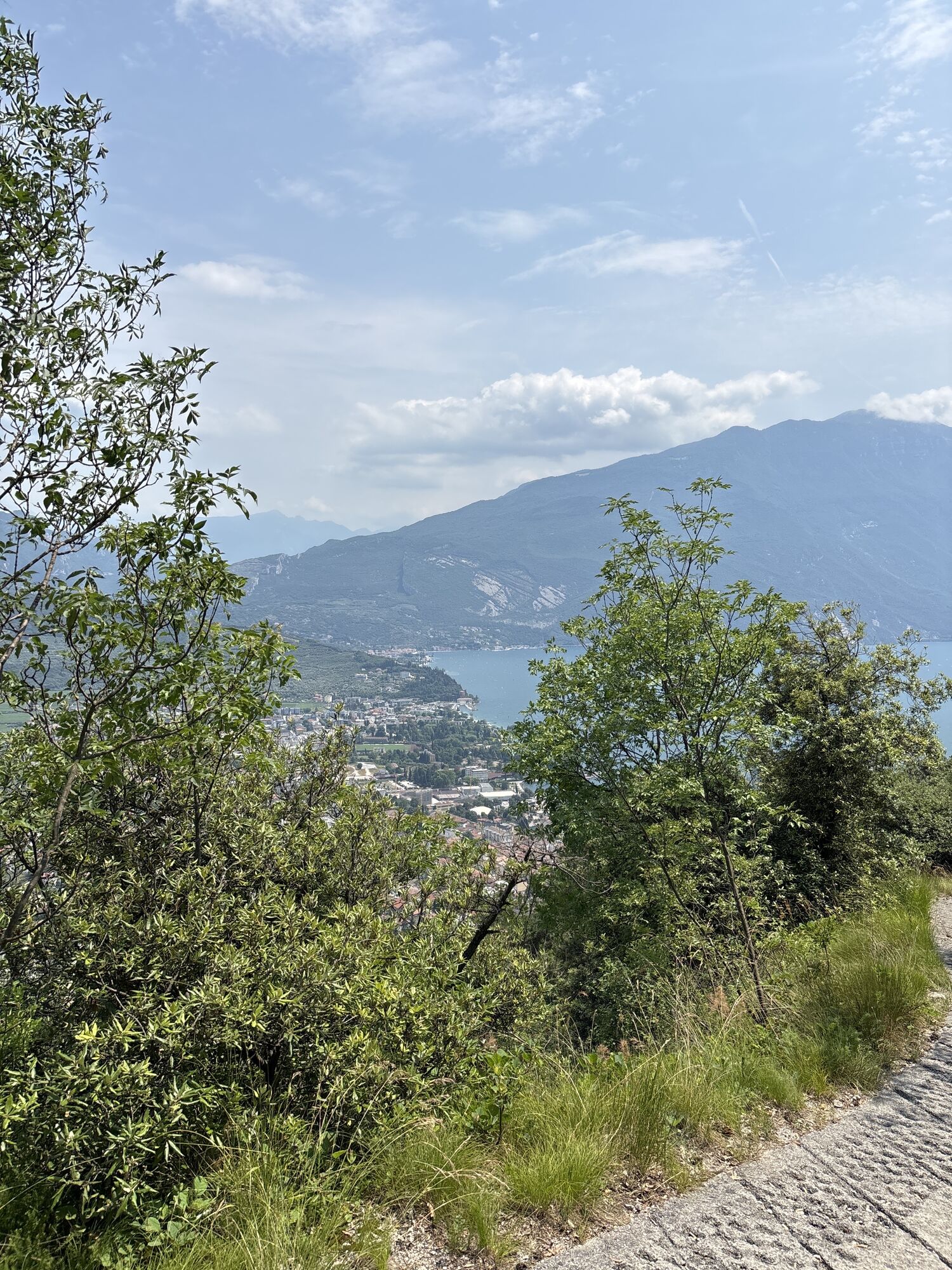
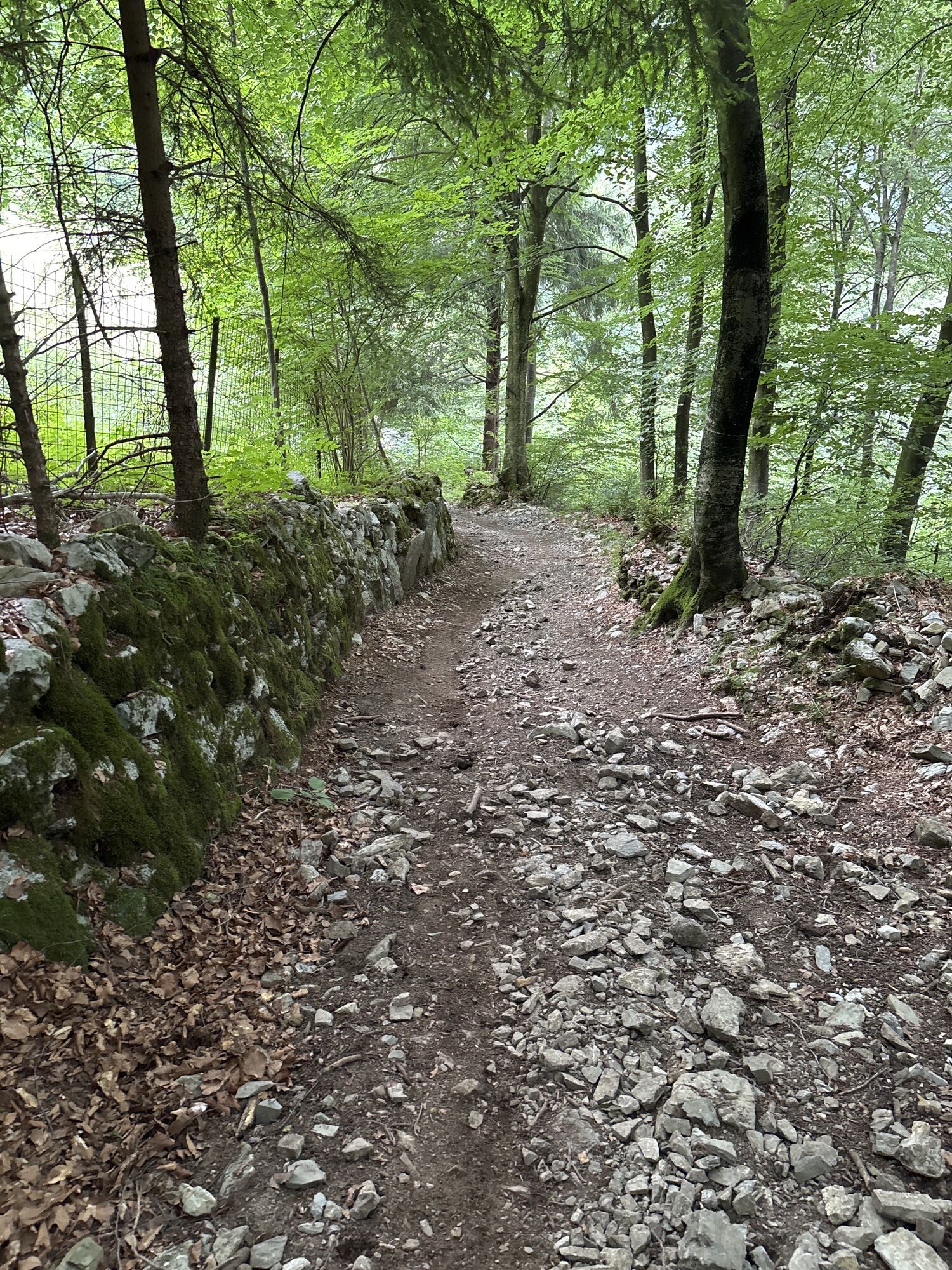
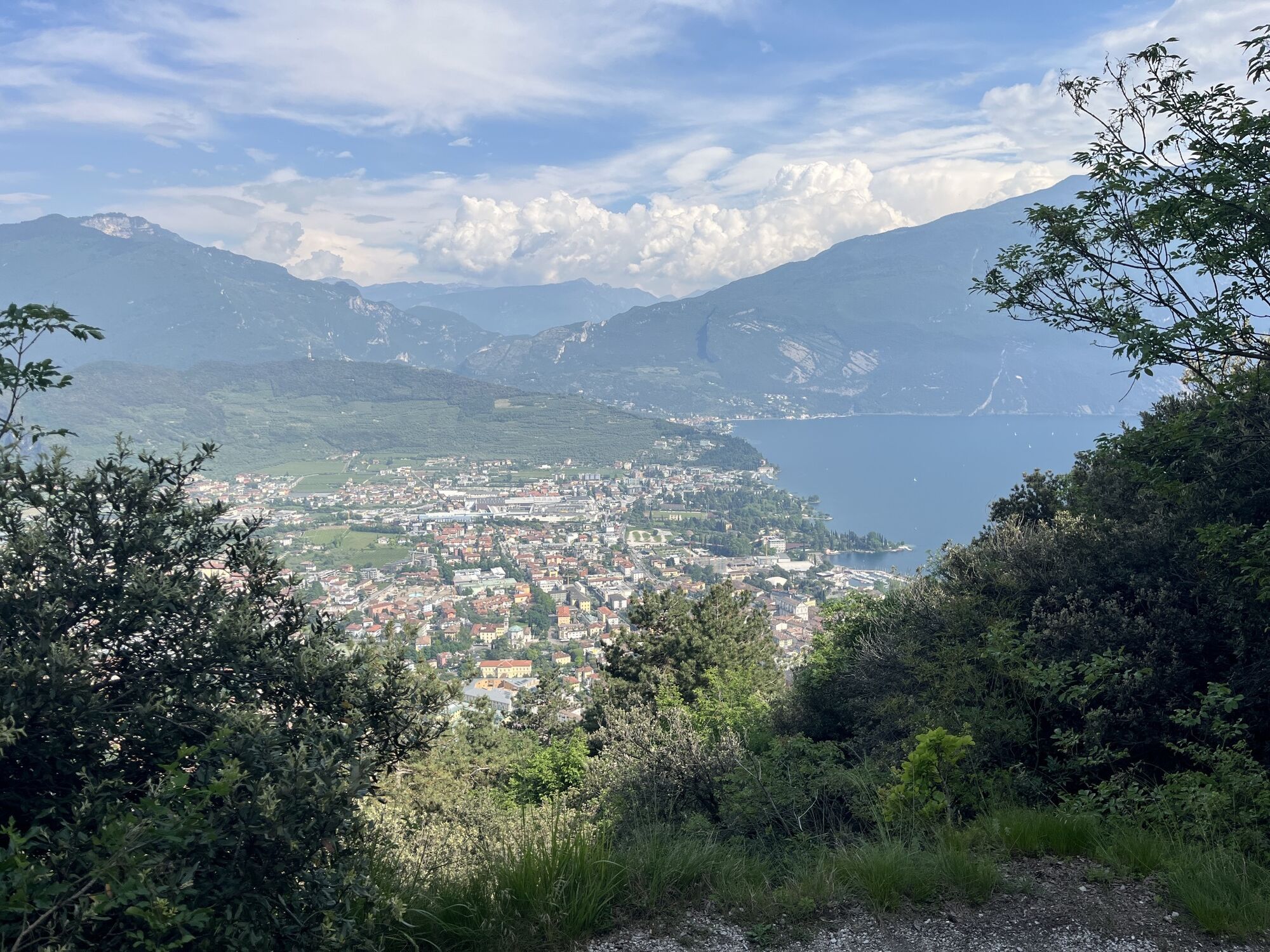
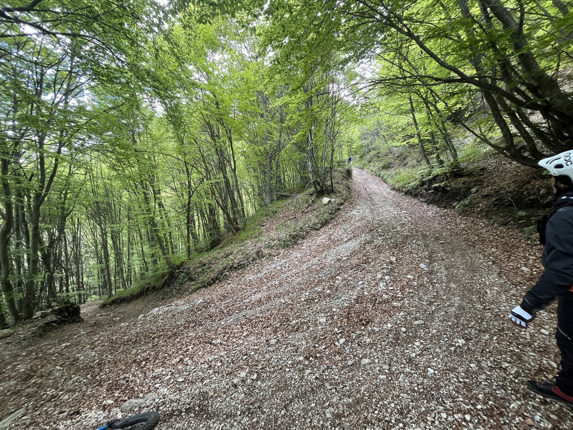
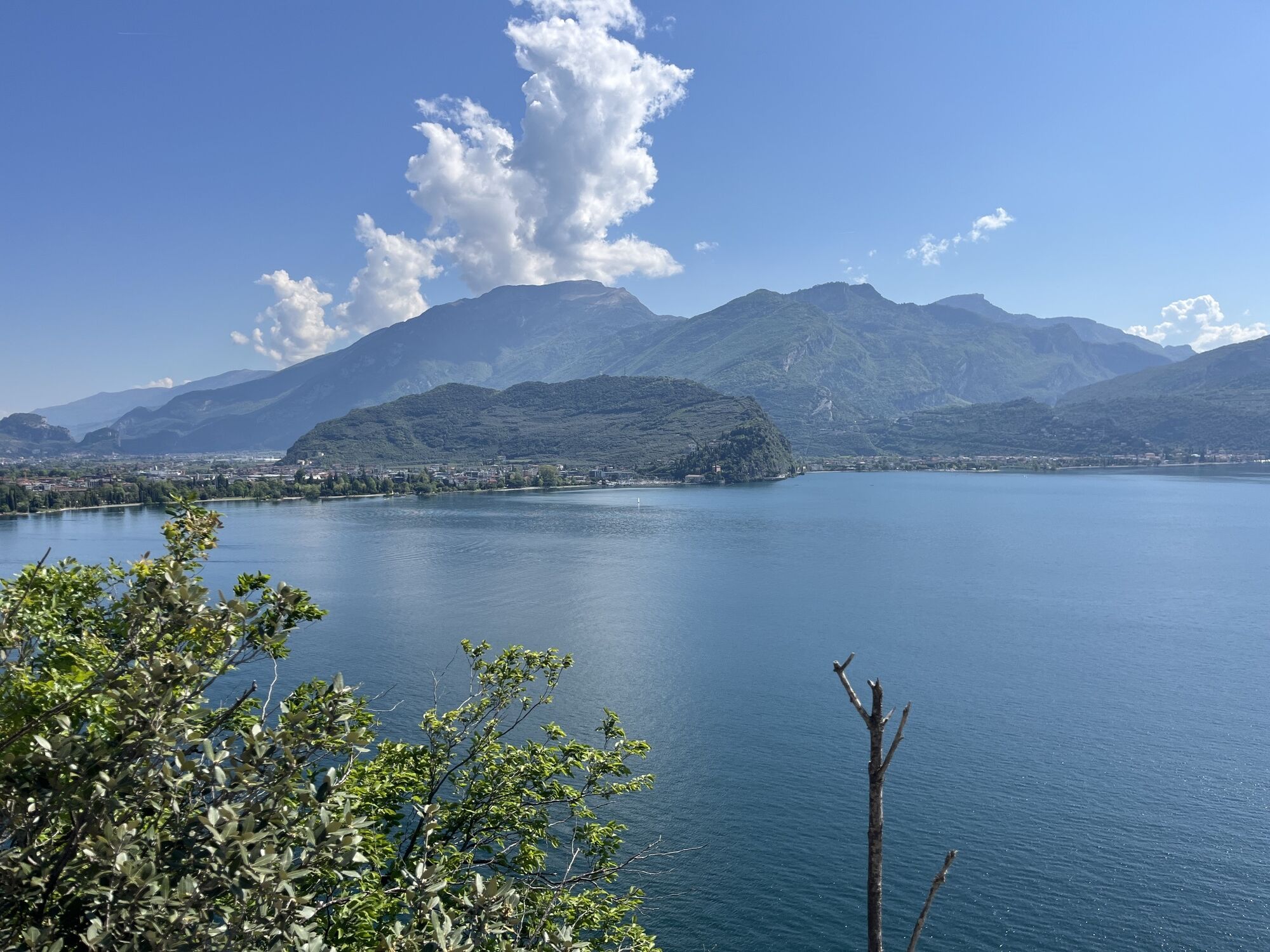
The mountain huts Nino Pernici and Malga Grassi are classic destinations for anyone familiar with Garda Trentino. The proposed descent is truly wild, either you love it or you hate it. The terrain is rocky, very rough and quite steep; for anyone who is not at their ease in this kind of terrain it could turn out to be a nightmare. From Campi onward, the track surface is much more stable and easy. The final part, on cement, has a gradient of more than 20% with a view over Riva and the upper lake that is simply impossible to describe. On this final stretch, you have to check your speed and make sure to use both brakes as needed, especially if wet and in the autumn.
Variants: 732a. Dos de Preghent Trail

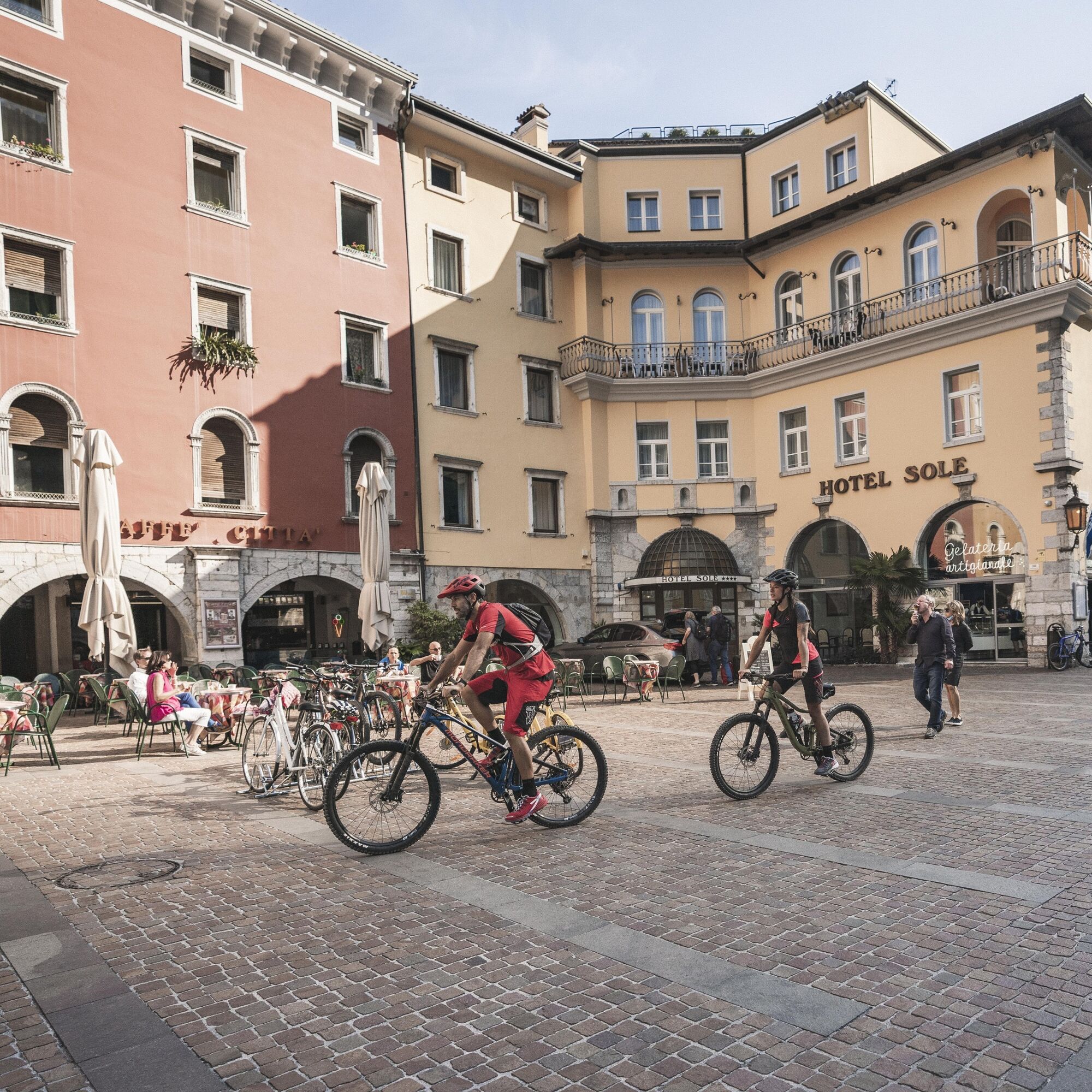
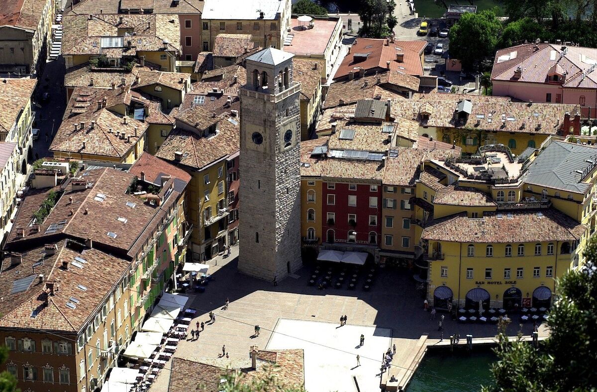
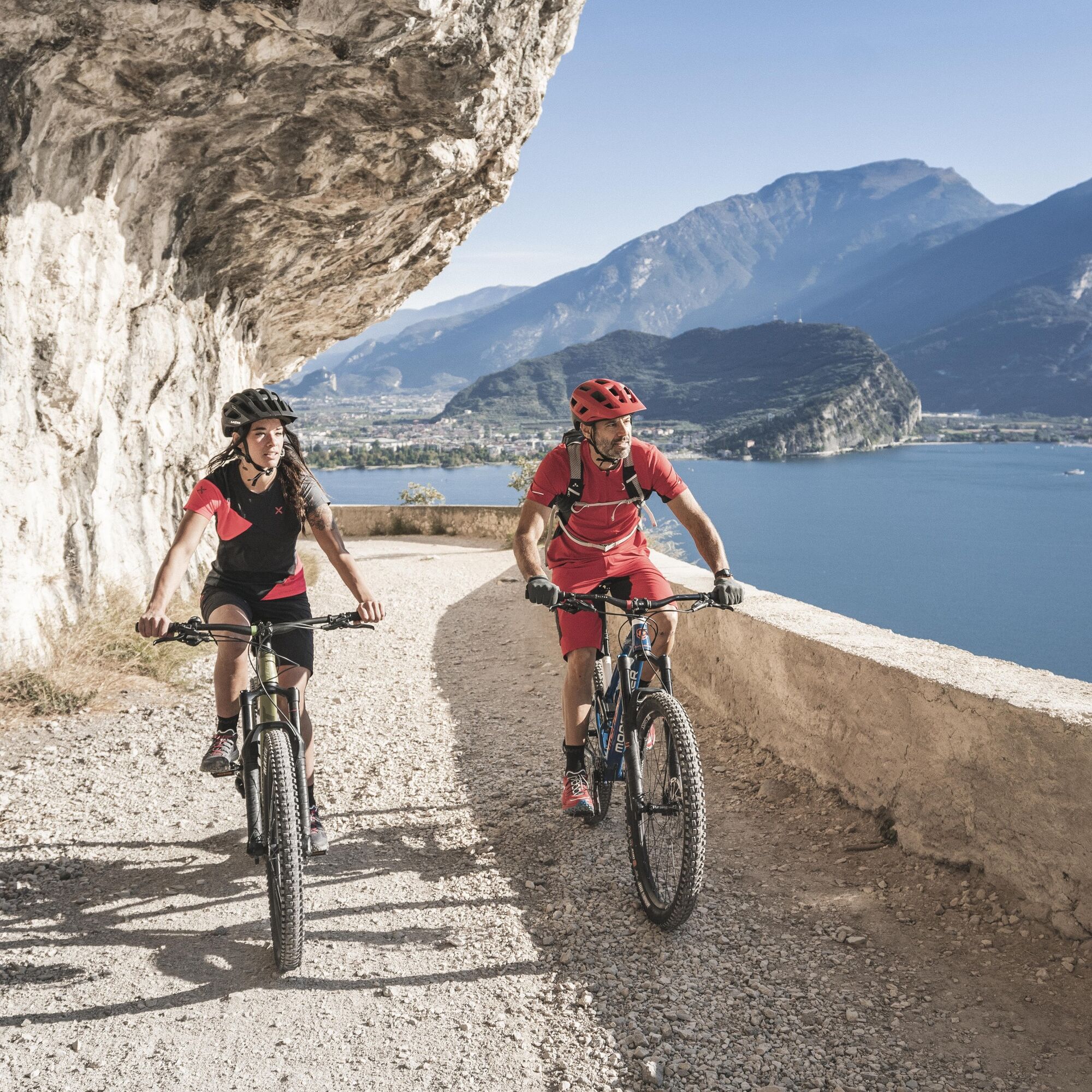
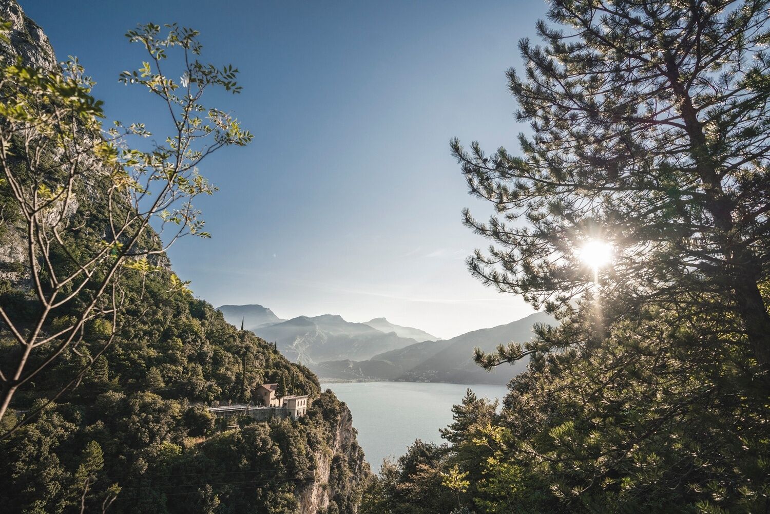
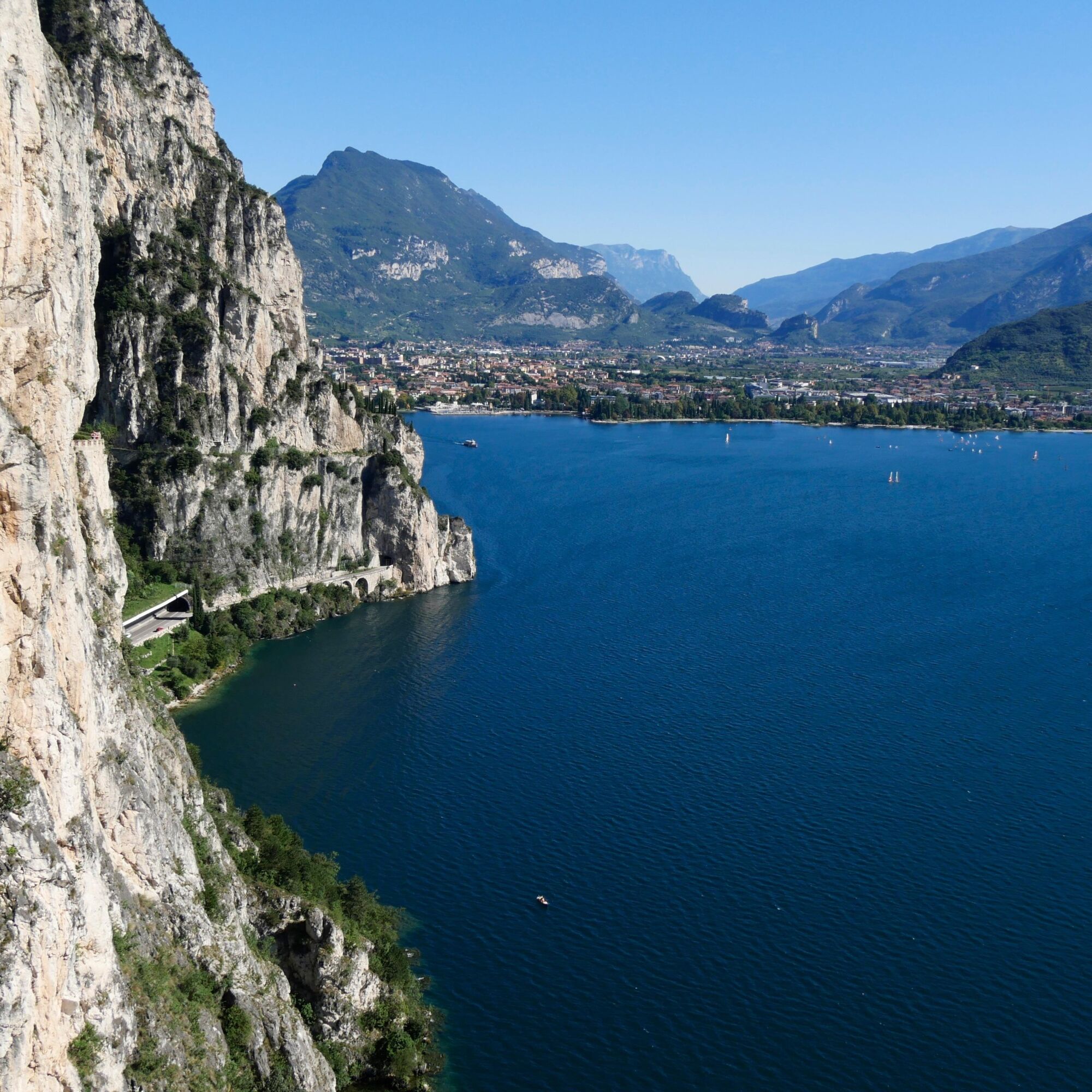
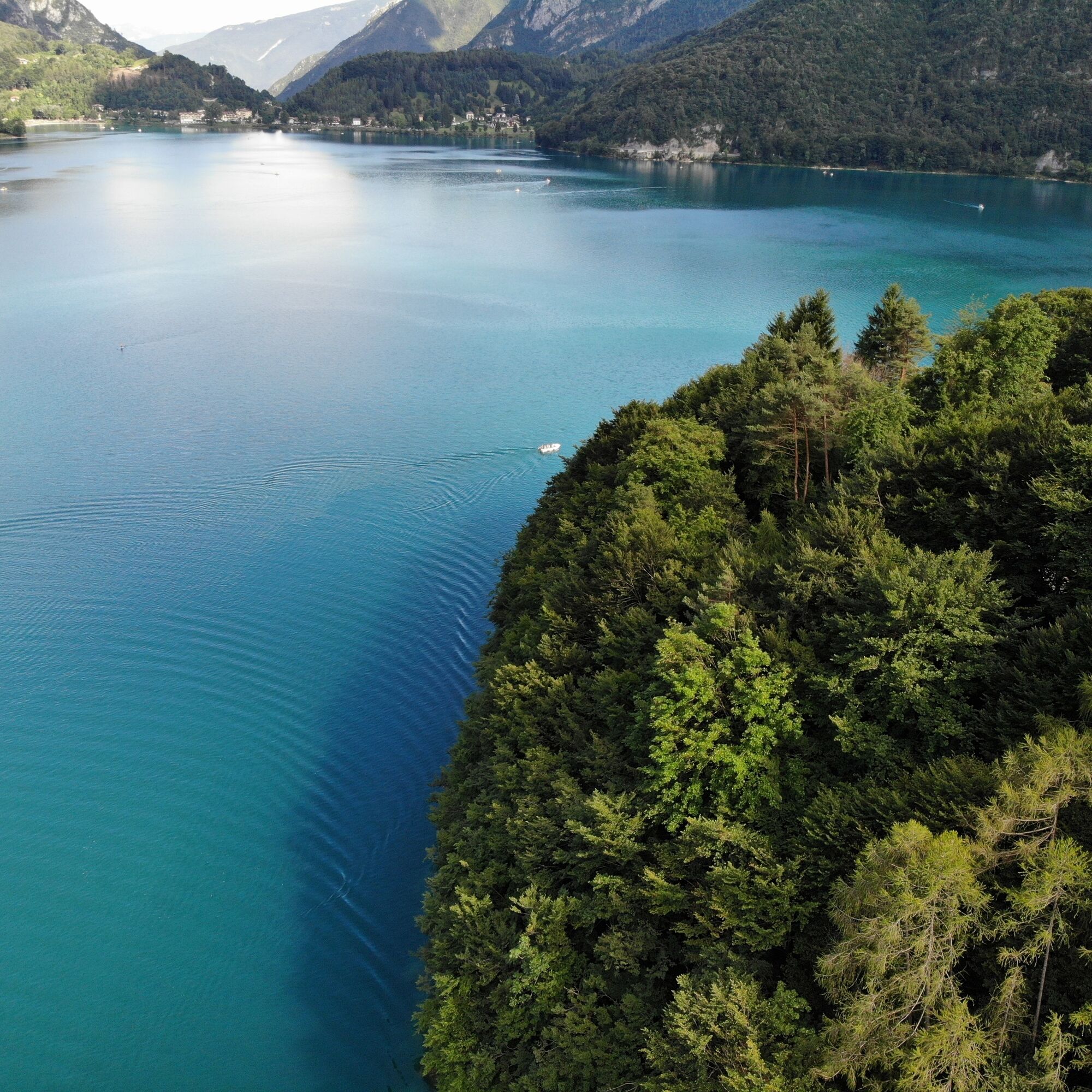
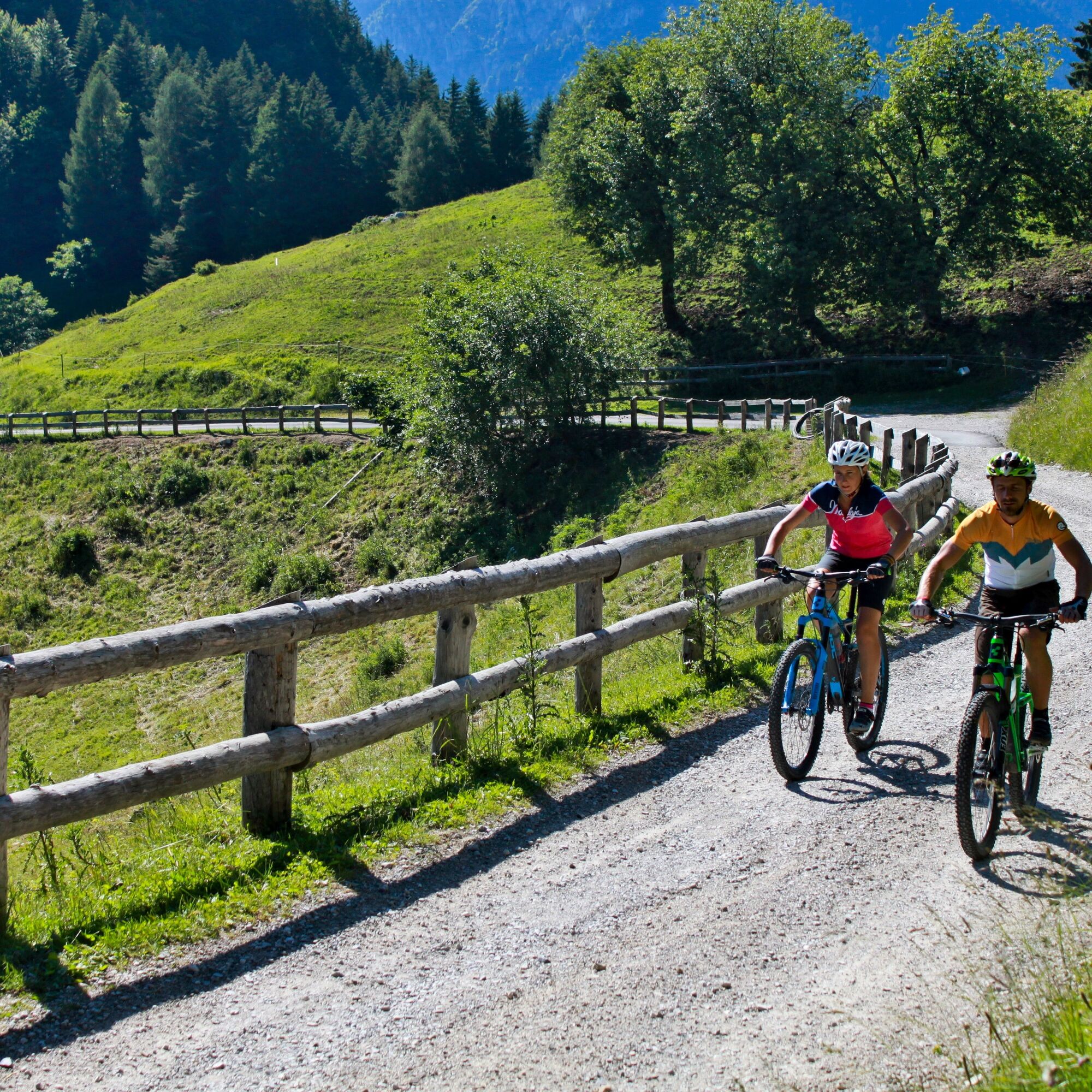
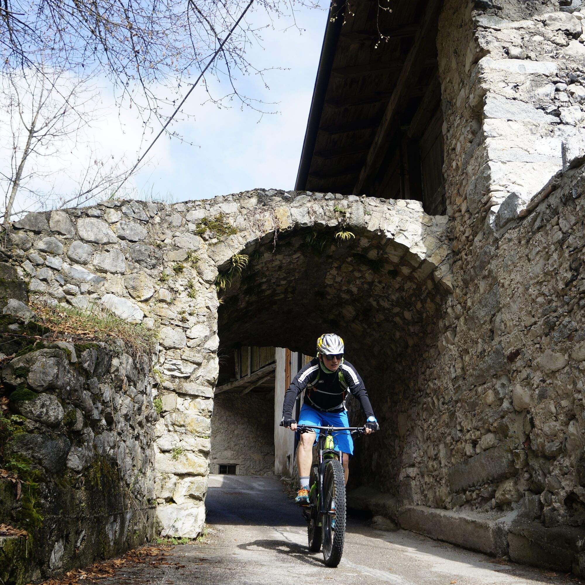
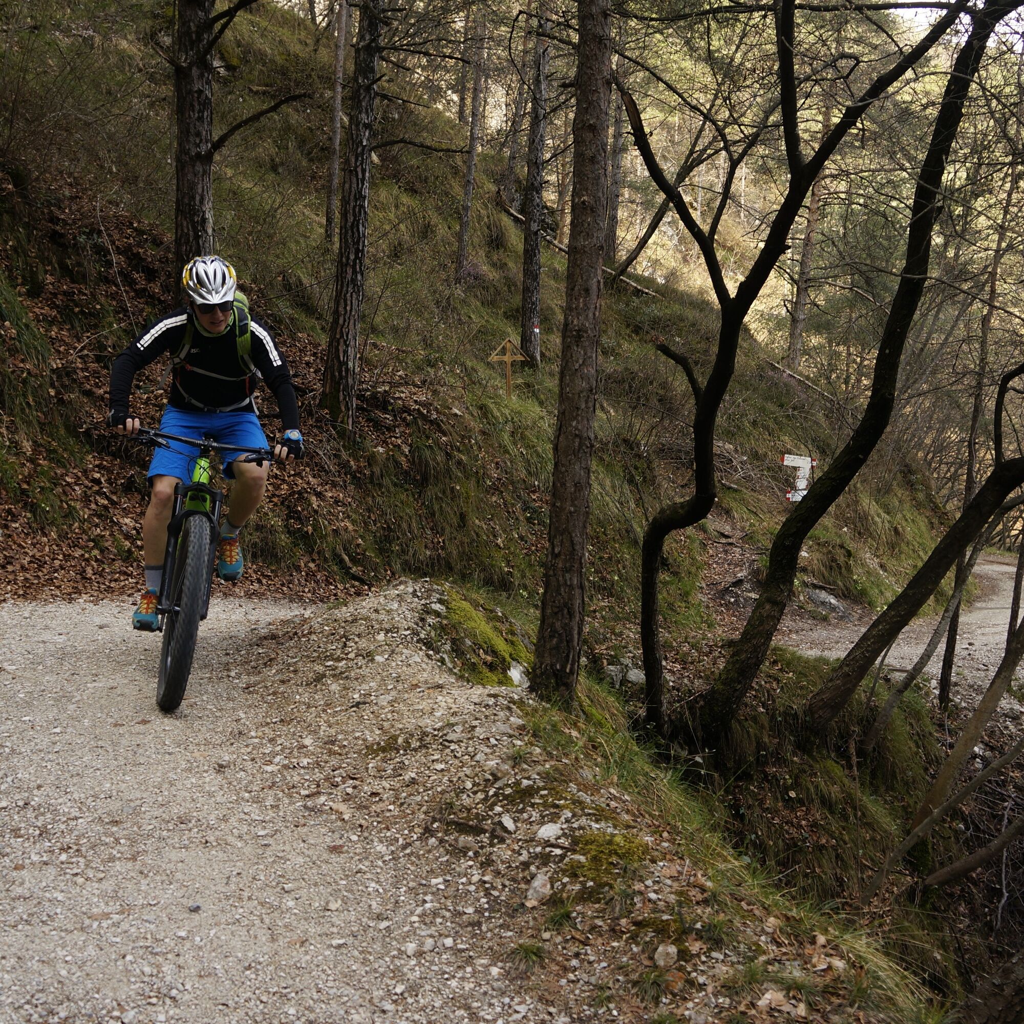
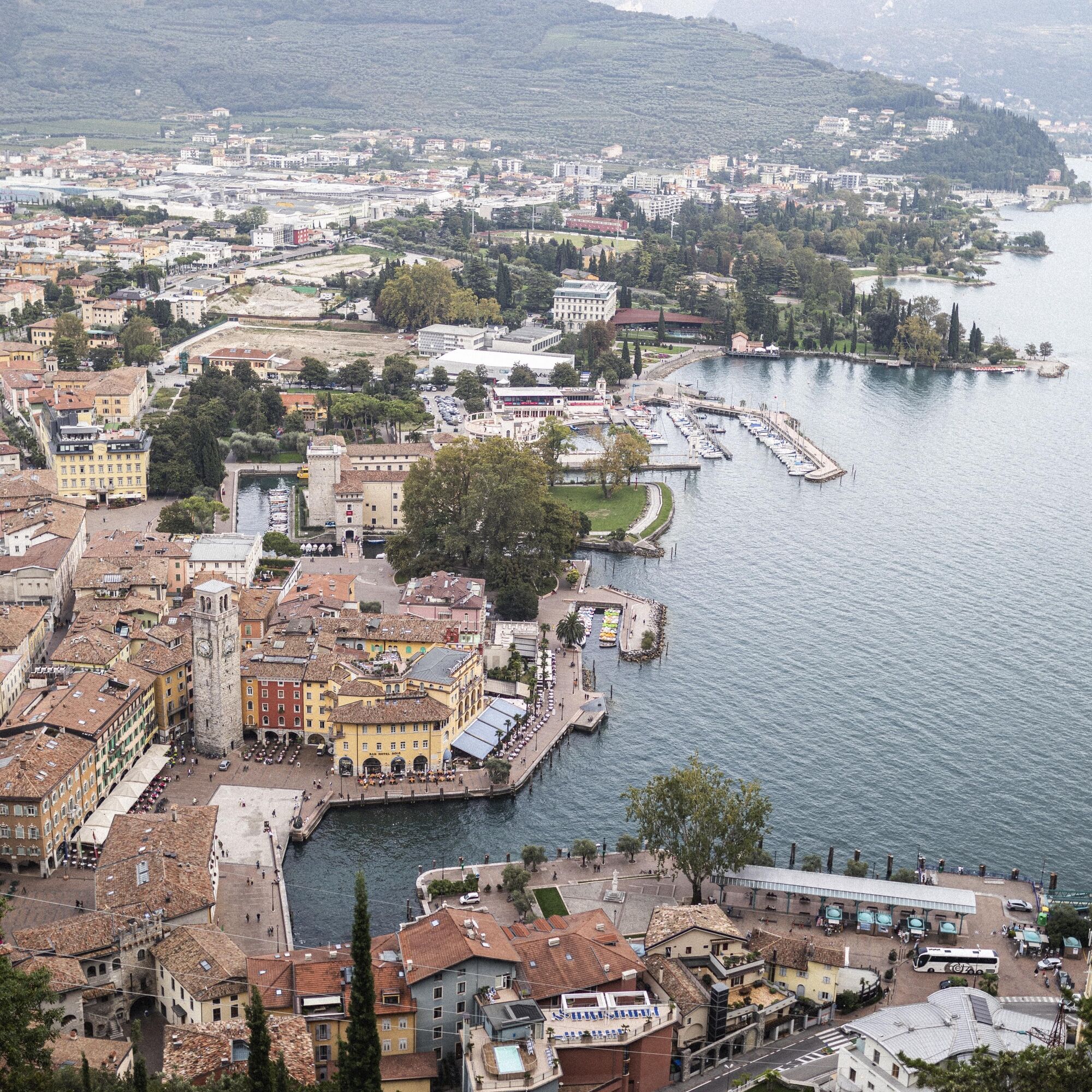


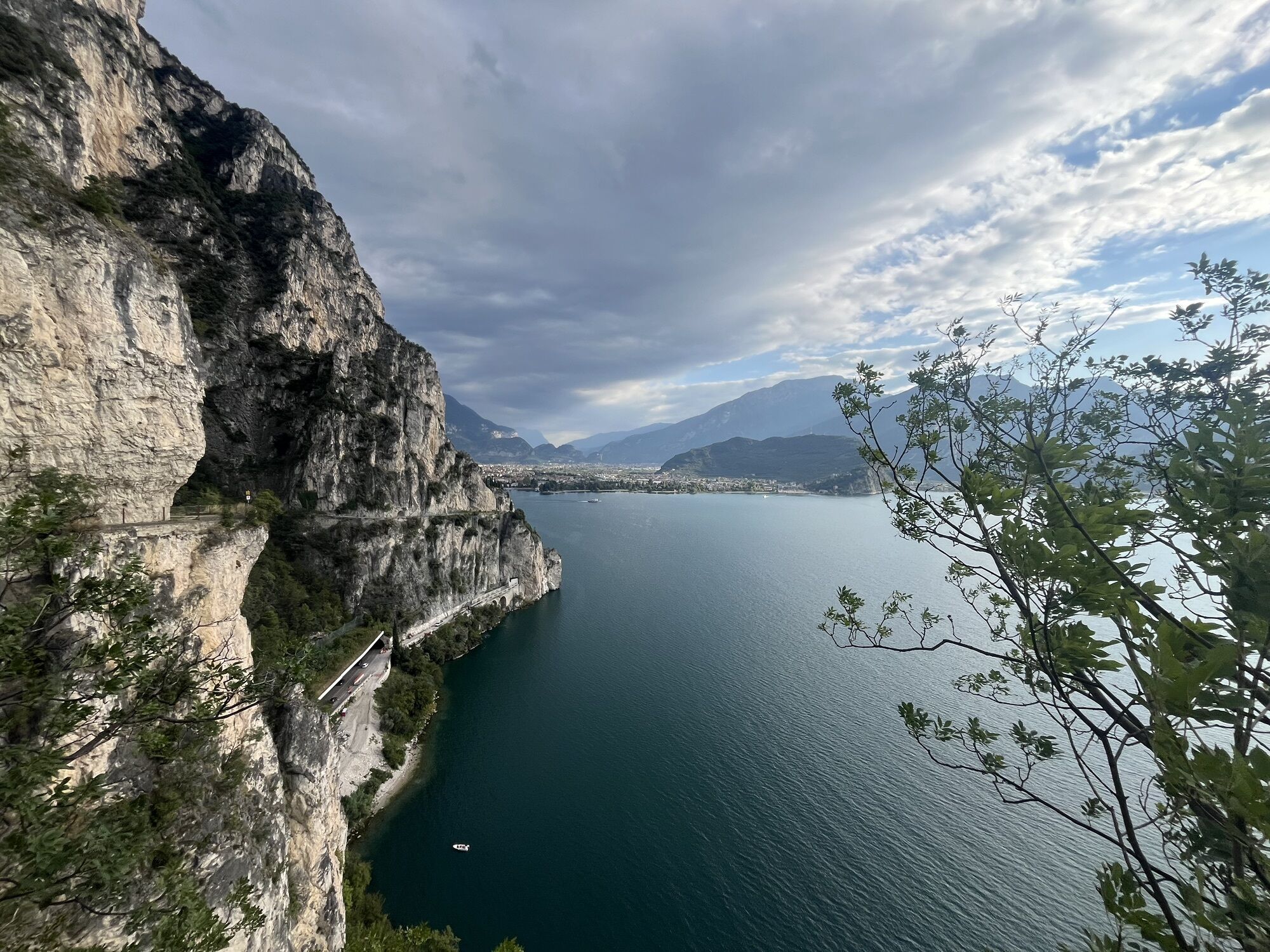
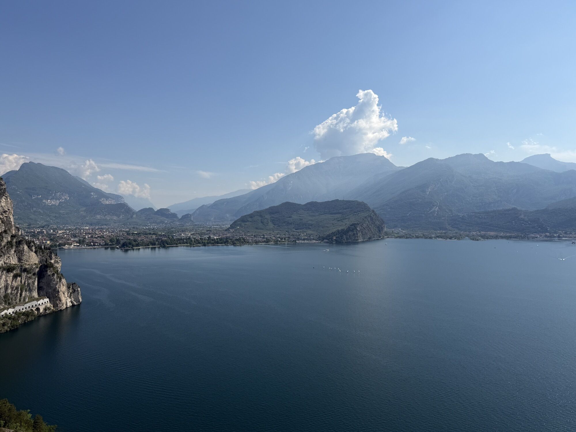
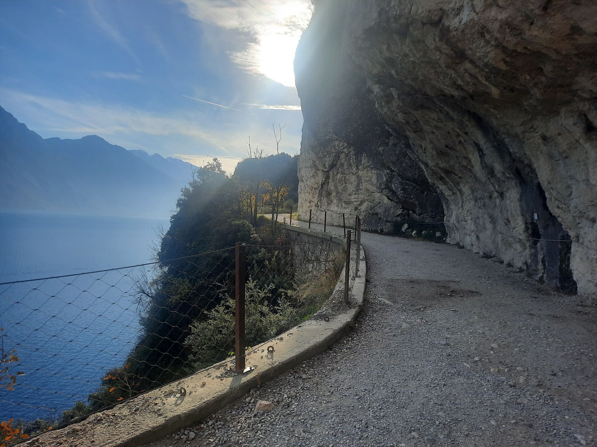
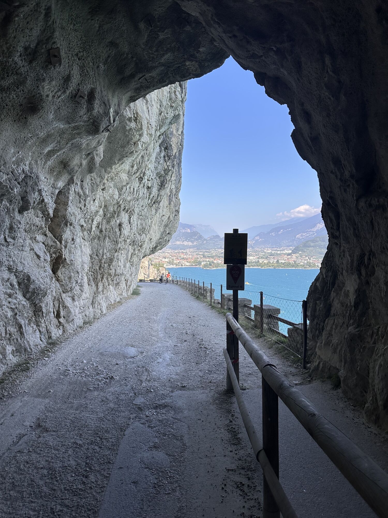
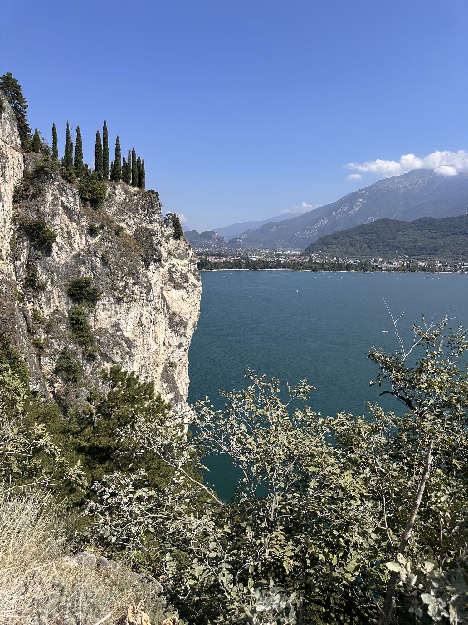
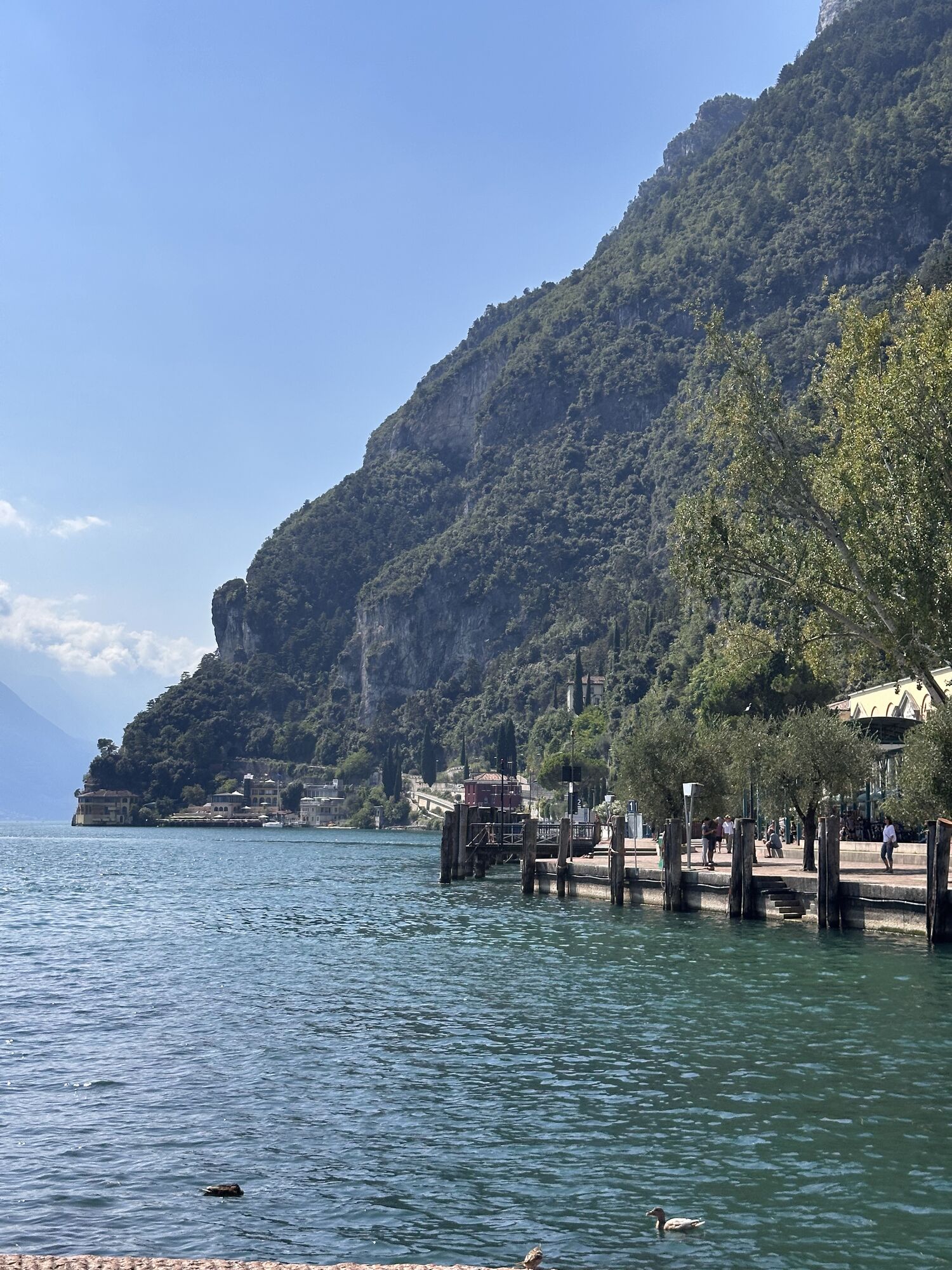
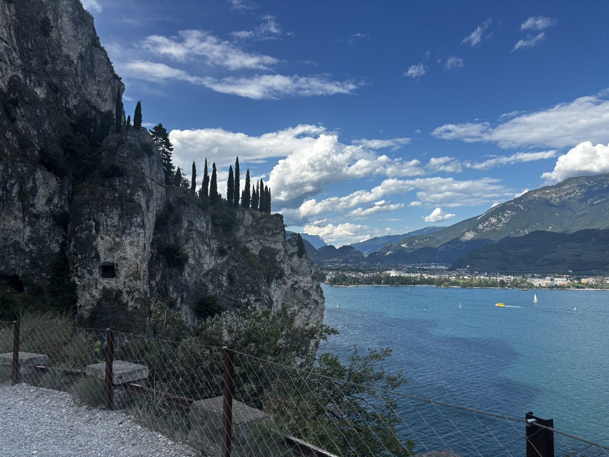
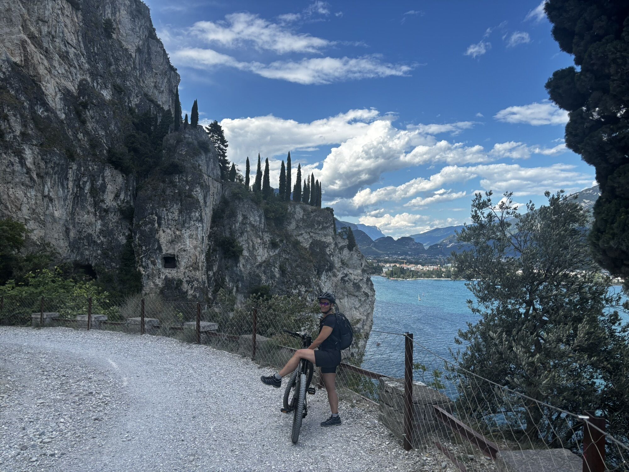
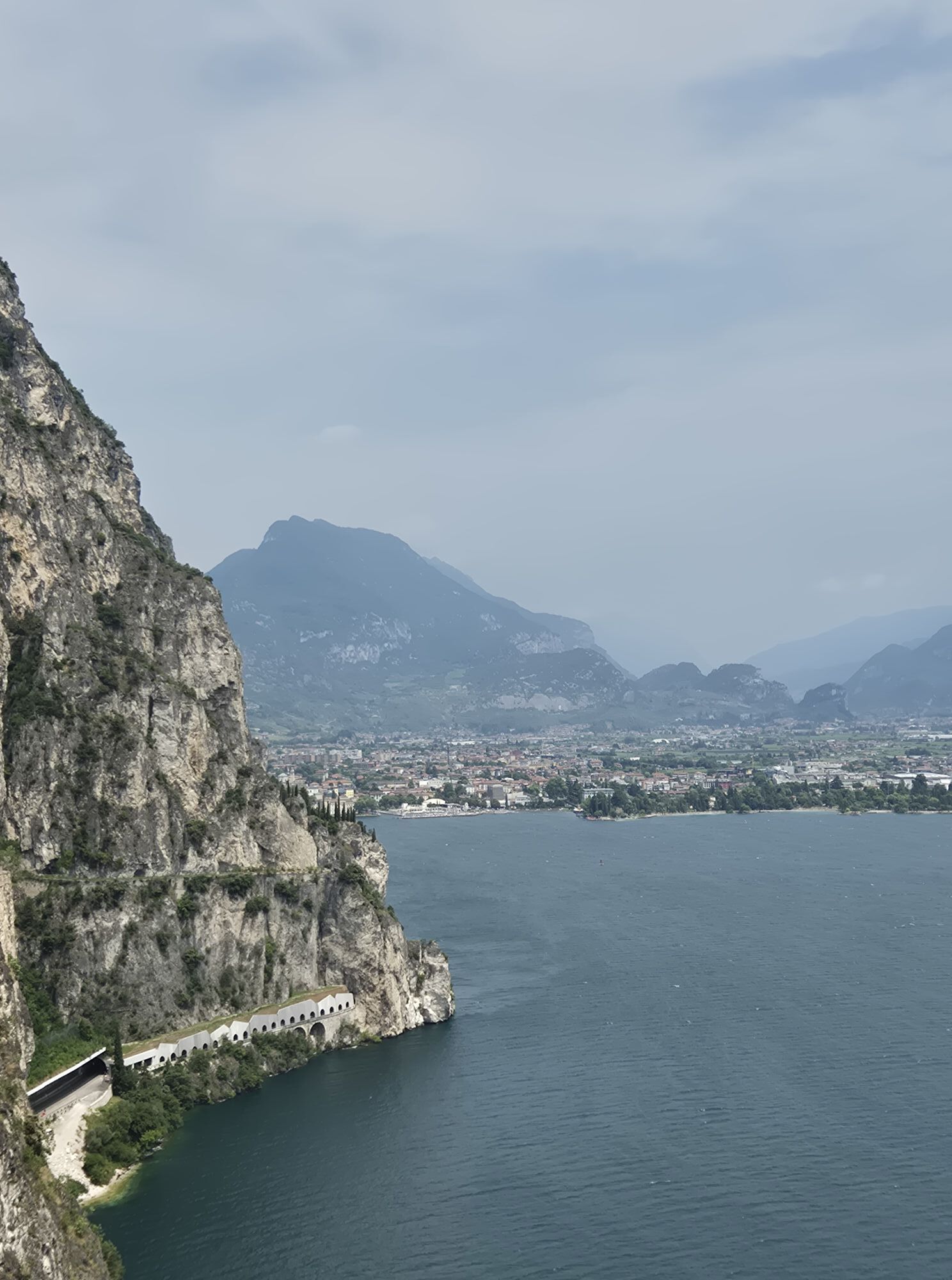
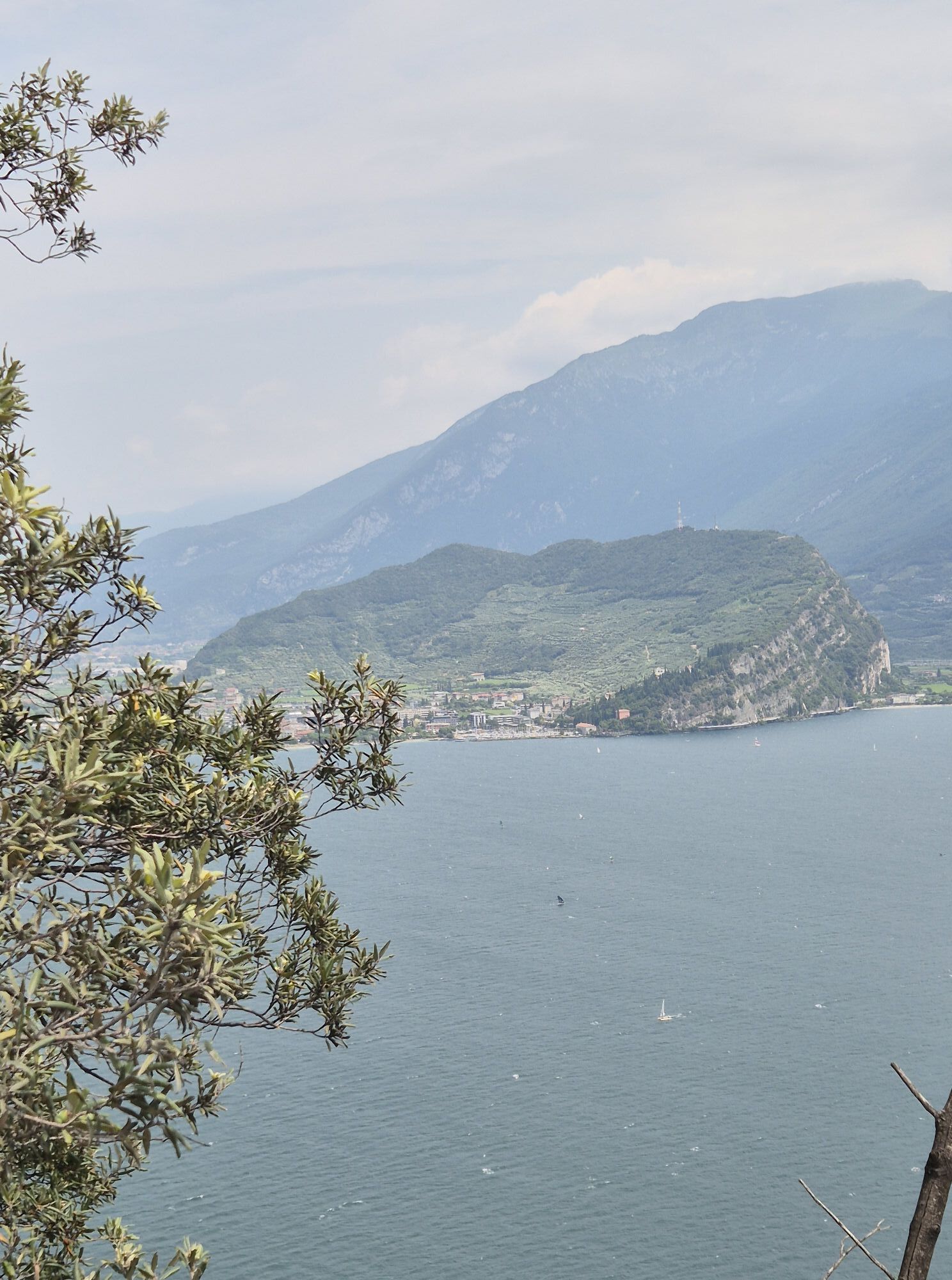
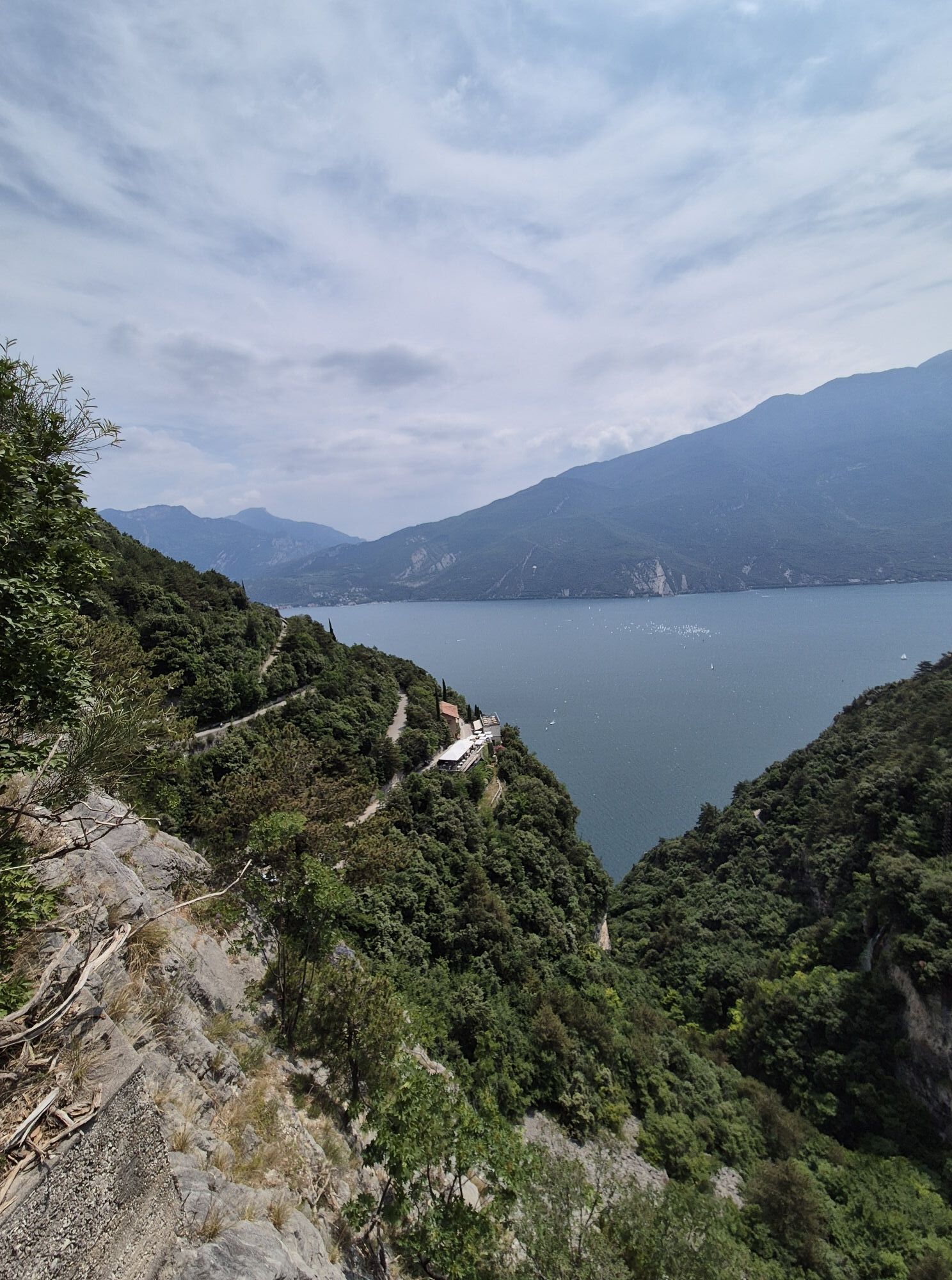
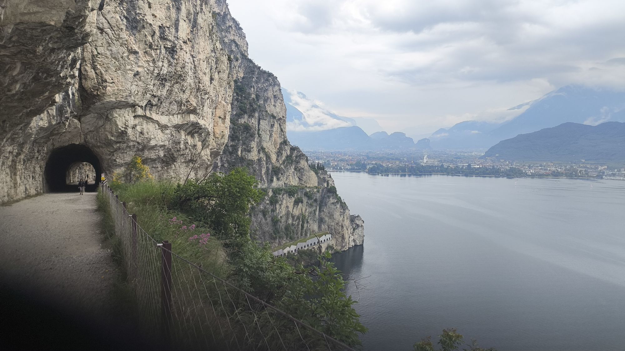
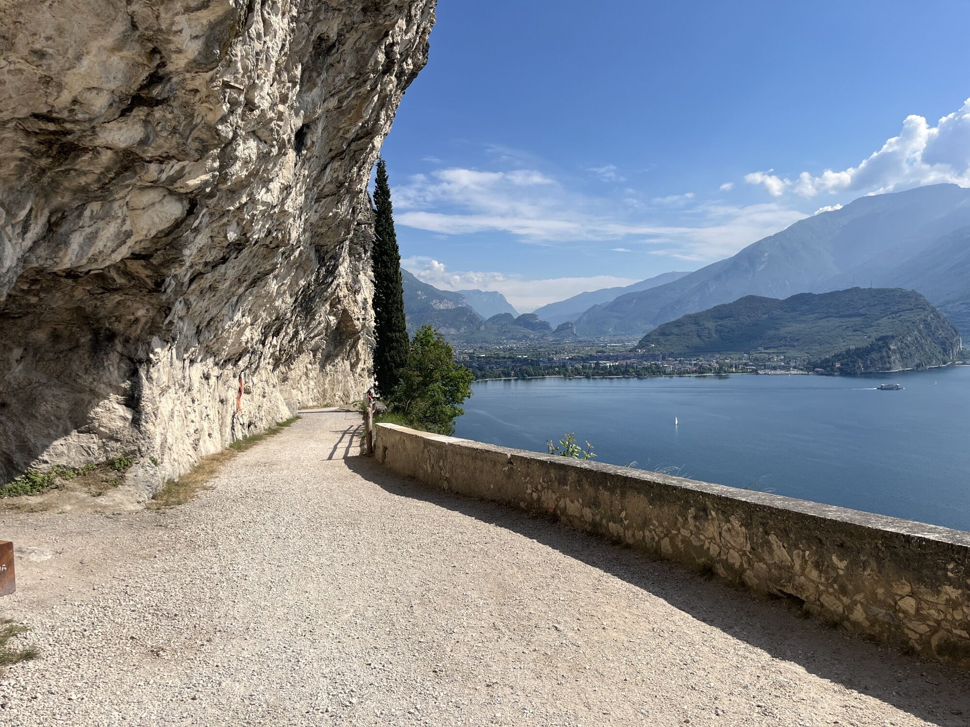
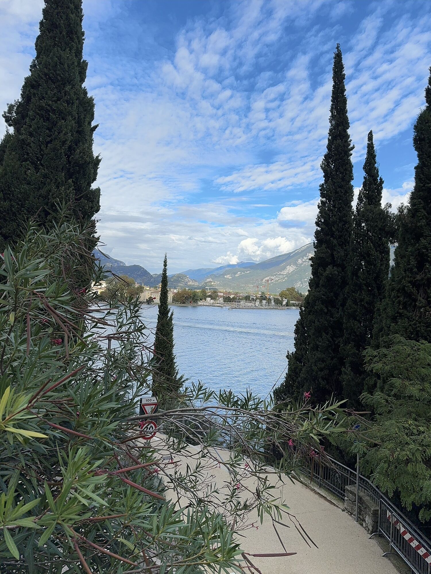
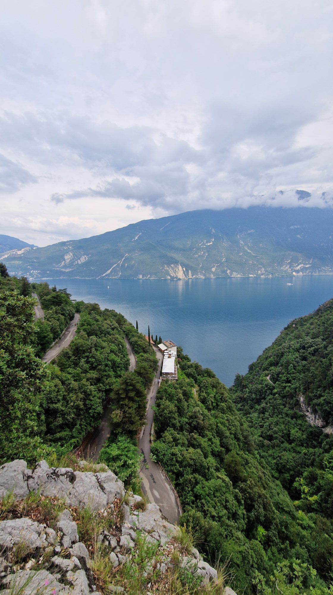
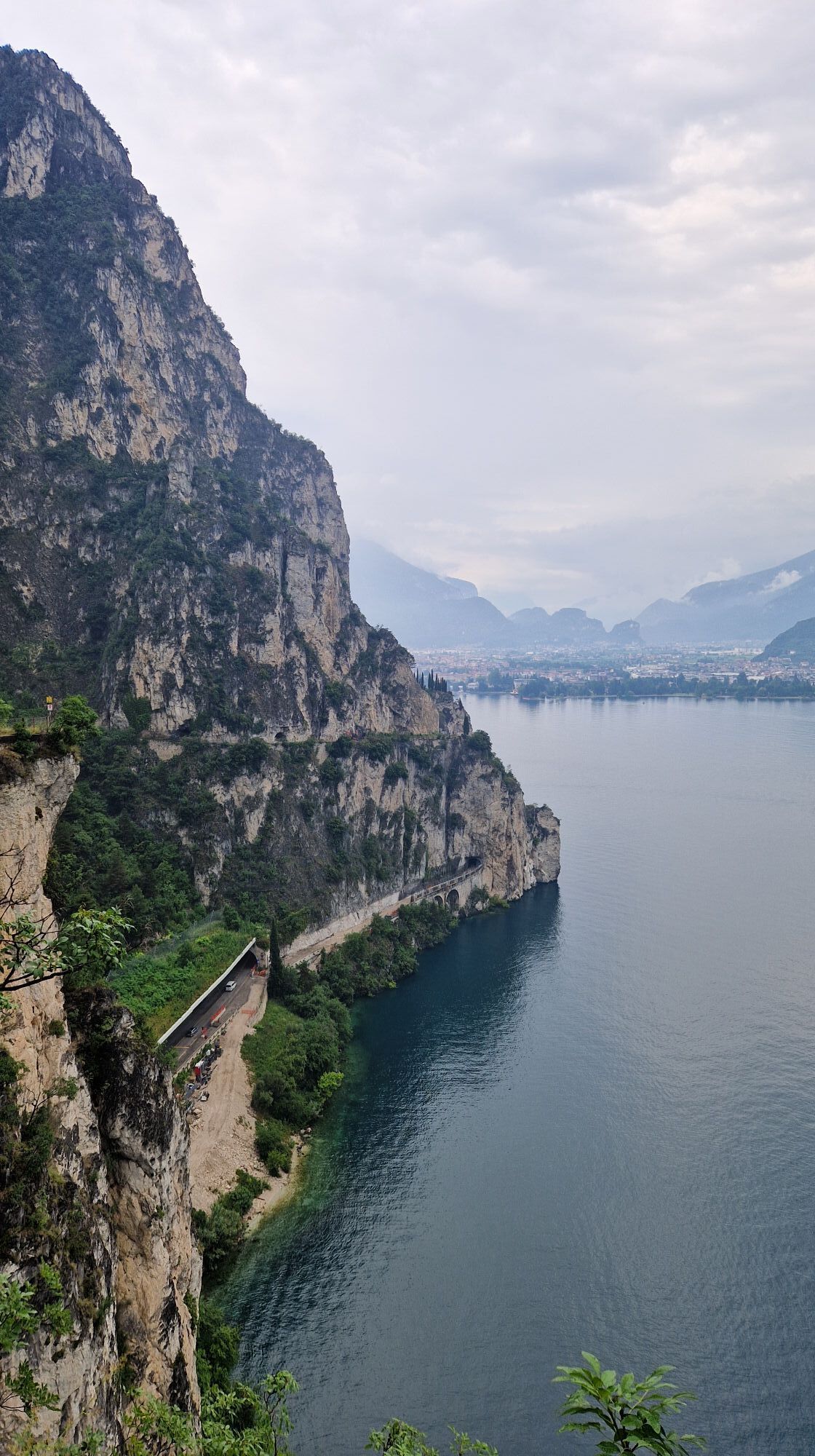
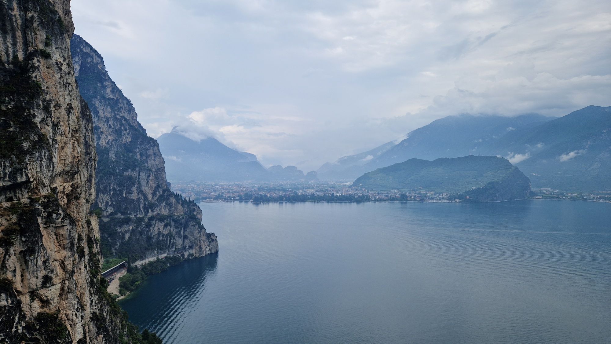
The trail starts out on the lake front in Riva del Garda, in front of the Garda Trentino tourist information office. Take the cycle path which leads along Viale della Liberazione towards the centre of Riva. Pass the imposing structure of the Rocca and Piazza III Novembre, coming to the main road Gardesana Occidentale at the harbour. From here, follow the main road to the south for a few hundred metres. Before you reach the first tunnel on the Gardesana, keep to the right and take a steep cobbled ramp which leads to the start of the famous Ponale Trail. This stretch of the route, on a dirt road, has an incomparable panorama.
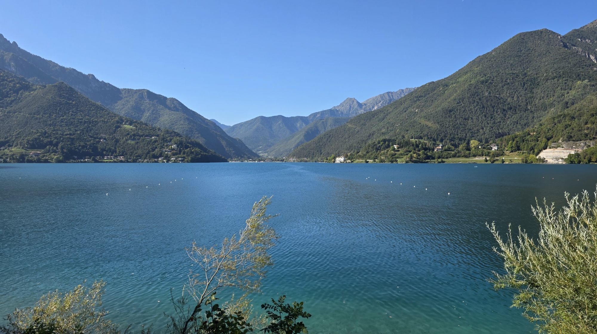
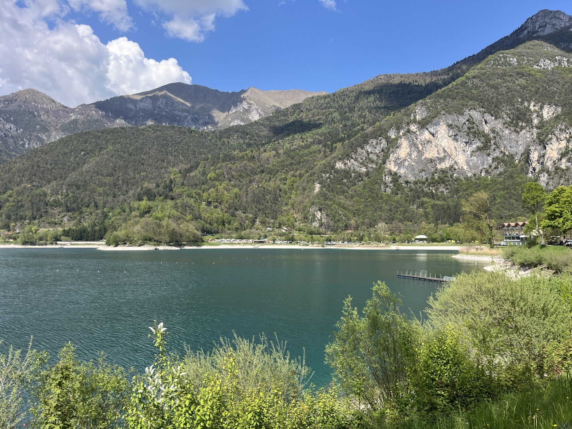
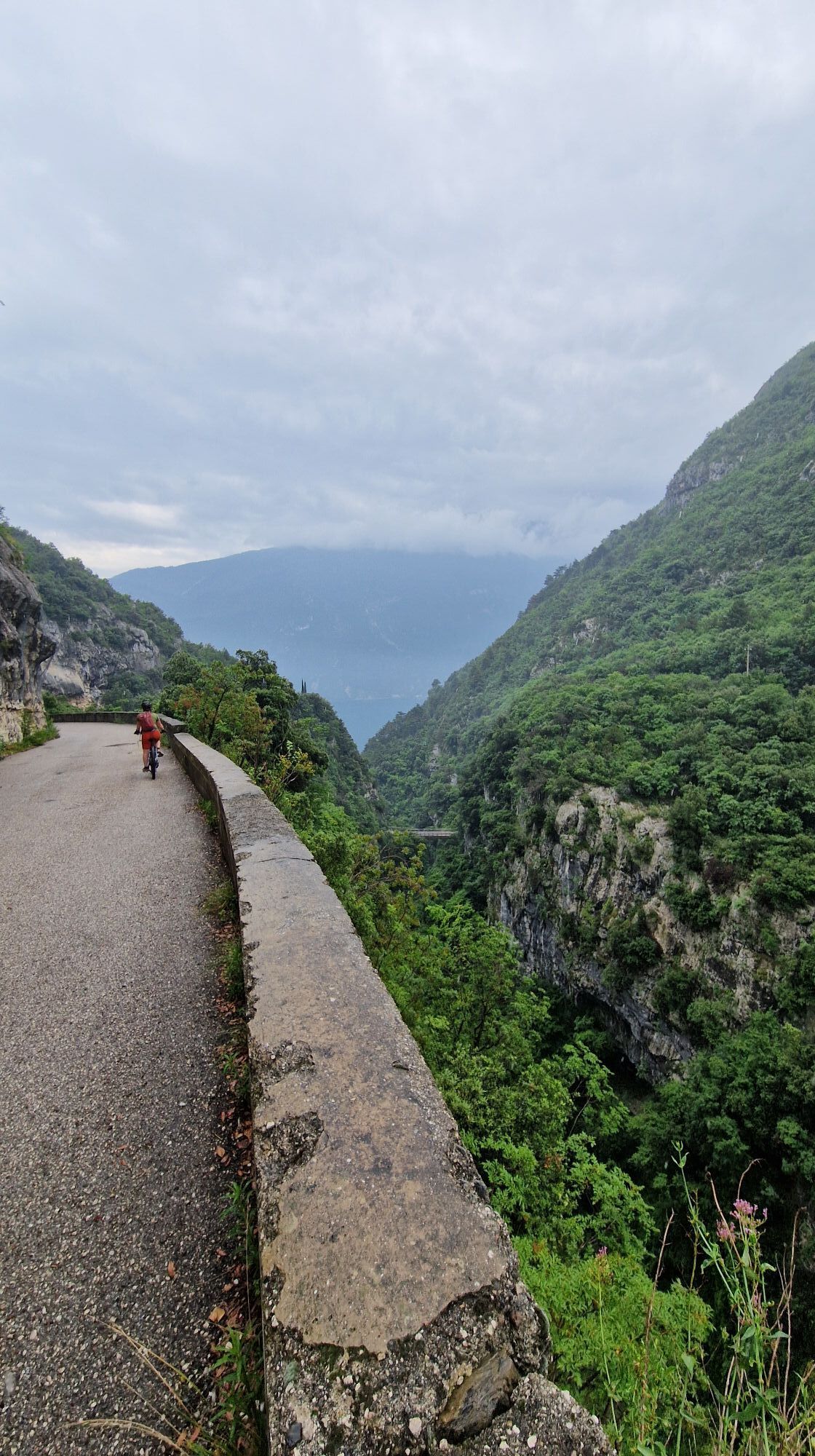
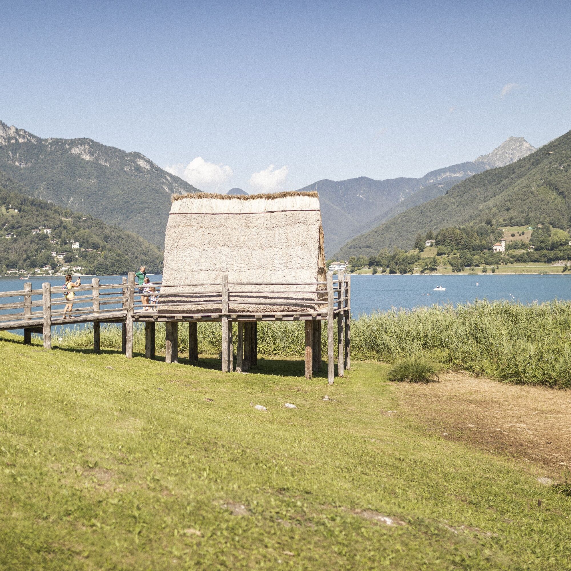
Without any alternative trail suitable for a bike we come to the end of the dirt road at the Ponale Alto Belvedere snack bar. At the nearby junction, keep right in the direction of Lake Ledro. Before the tunnel, turn left to cross the valley and the torrent avoiding the main road. Once on the road leading to Pregasina, go to the right and then, before the bridge, take the little road on your left. The trail to follow to get to Lake Ledro is clear. Cycle through Prè and Molina as far as the lake.
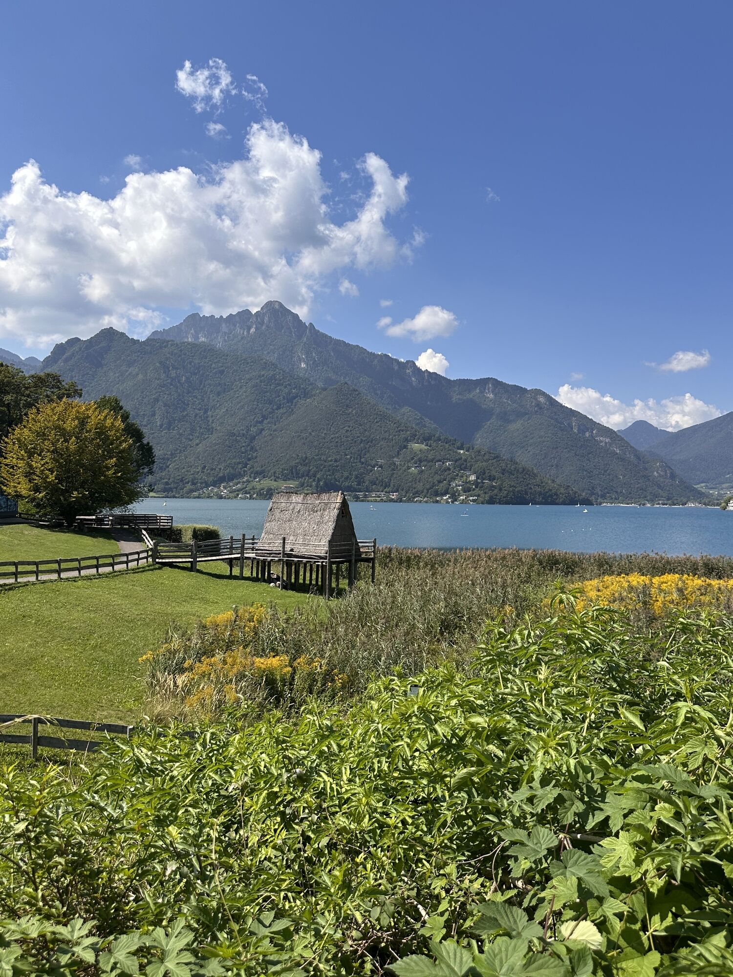
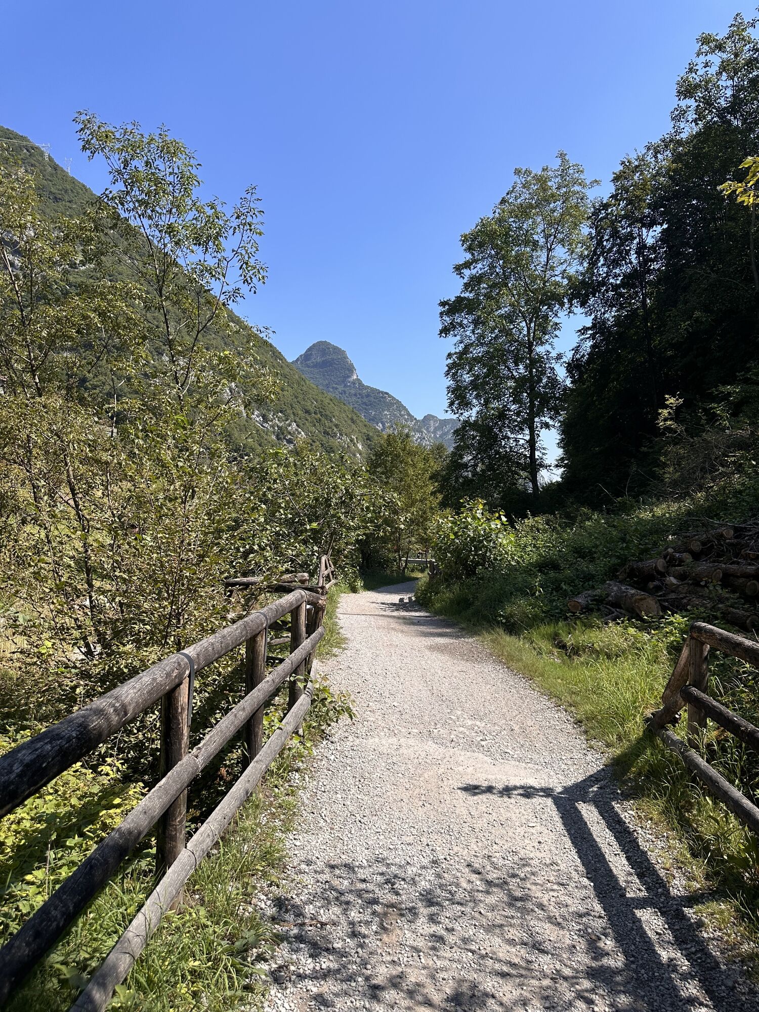
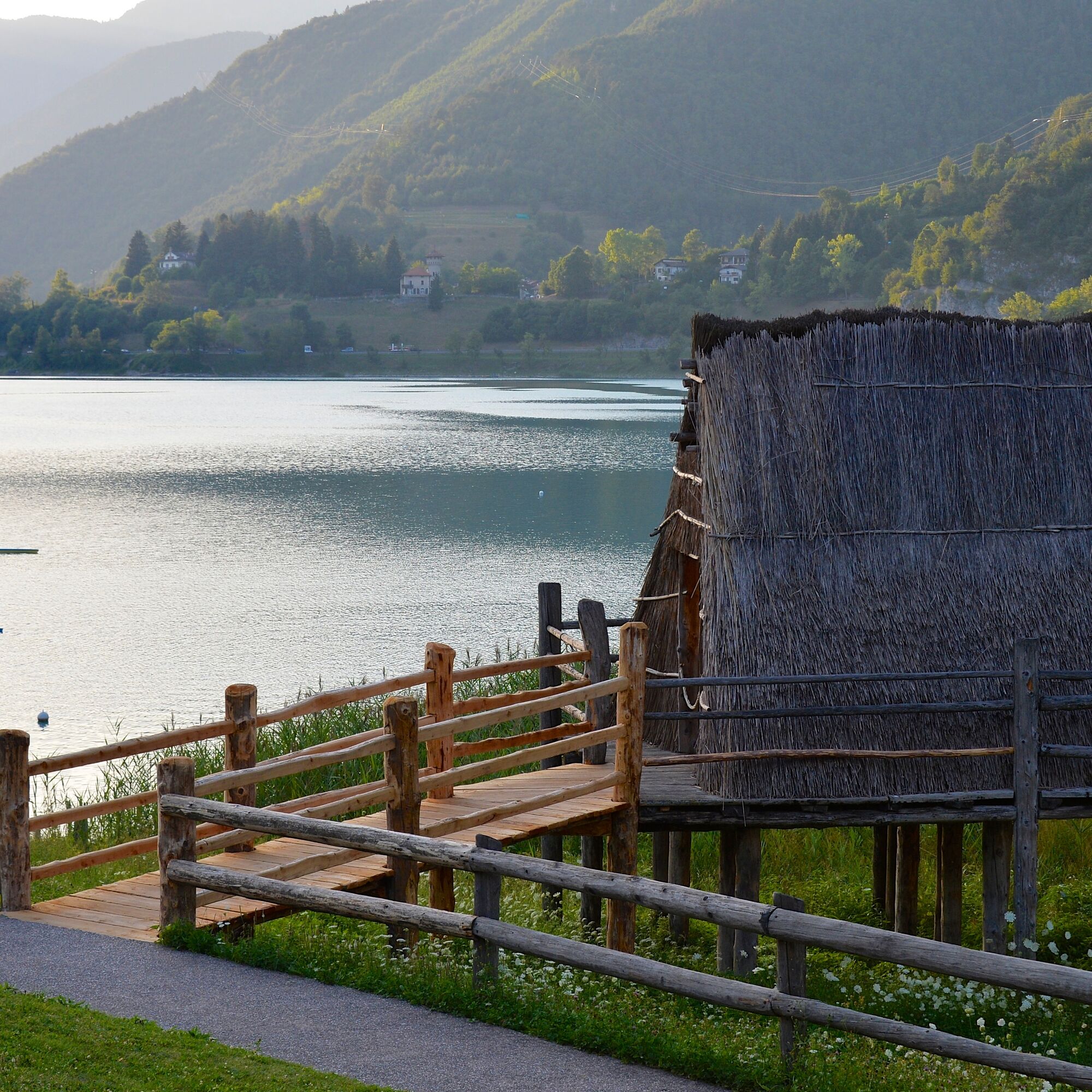
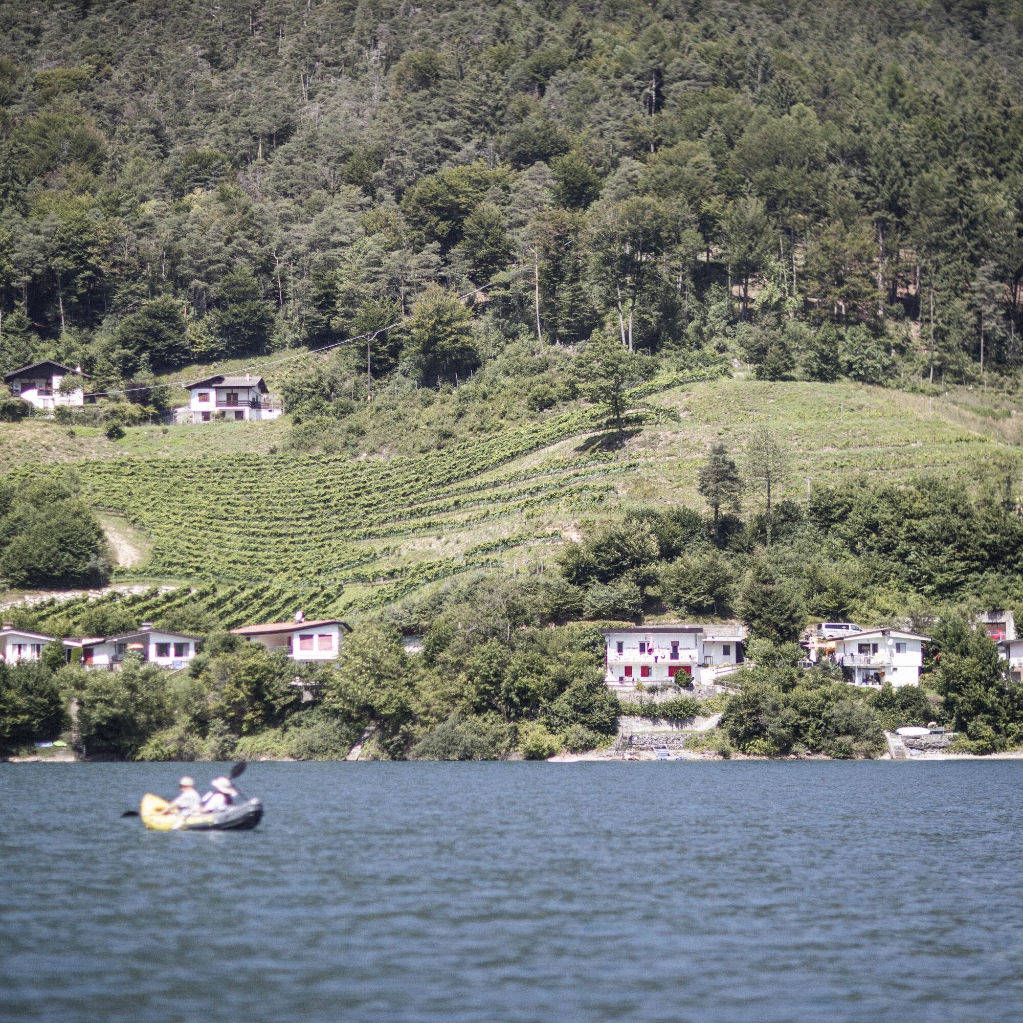
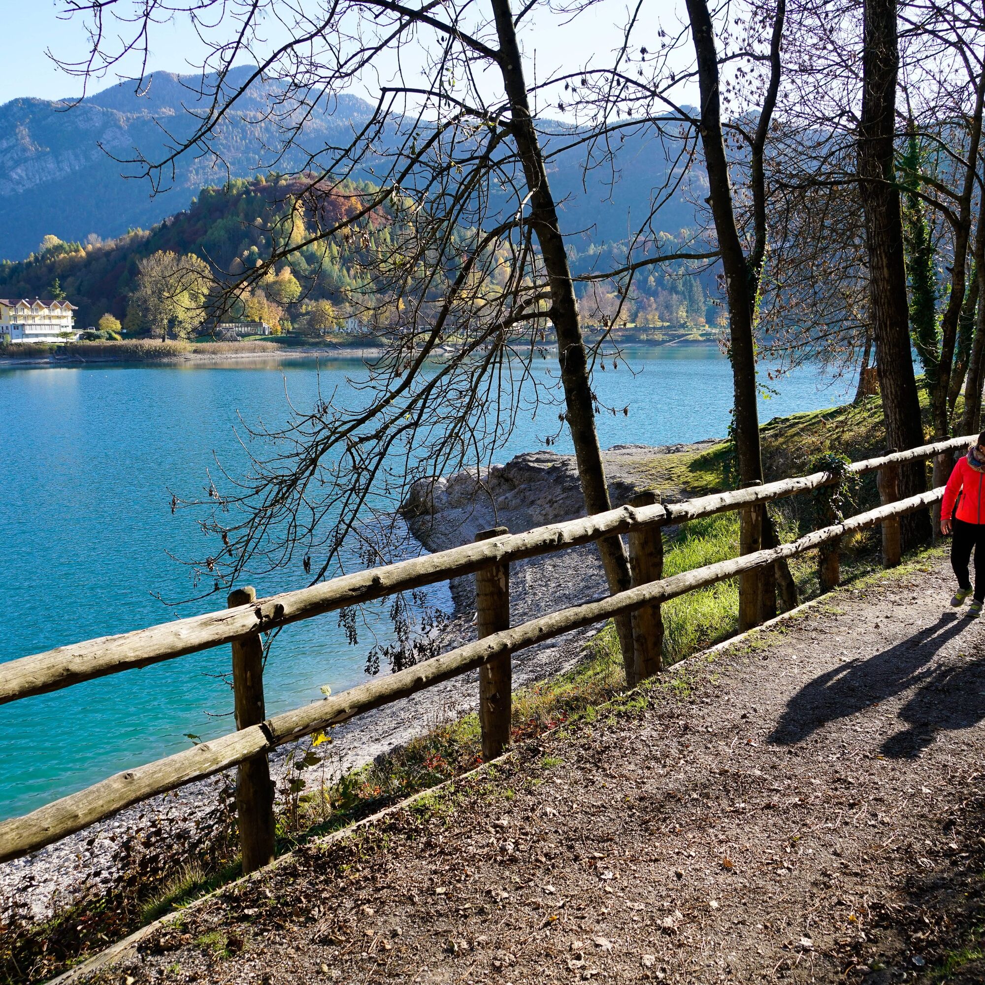
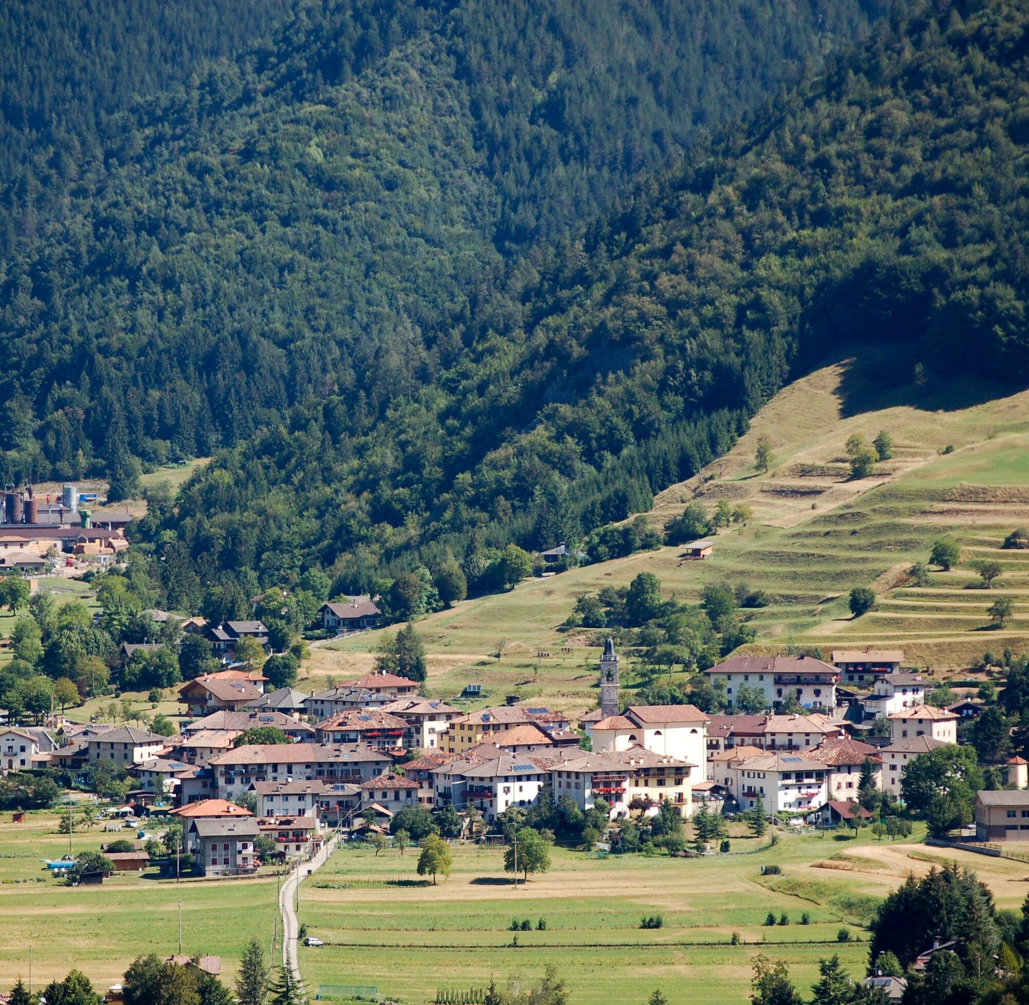
Following the road and subsequent road signs, cycle along the left side of the lake until you come to Pieve at the far end. Here you cross the main road and head towards the centre of the village. Signposting in the narrow streets leads you to the left where you take a short stretch of cycle path. This takes you to the start of the peaceful Val di Concei. Keep on straight along the main road, heading up the valley. Cycle through Locca, Enguiso and, when you get near Lenzumo, take the road on the right leading to Bocca di Trat and Rifugio Nino Pernici.
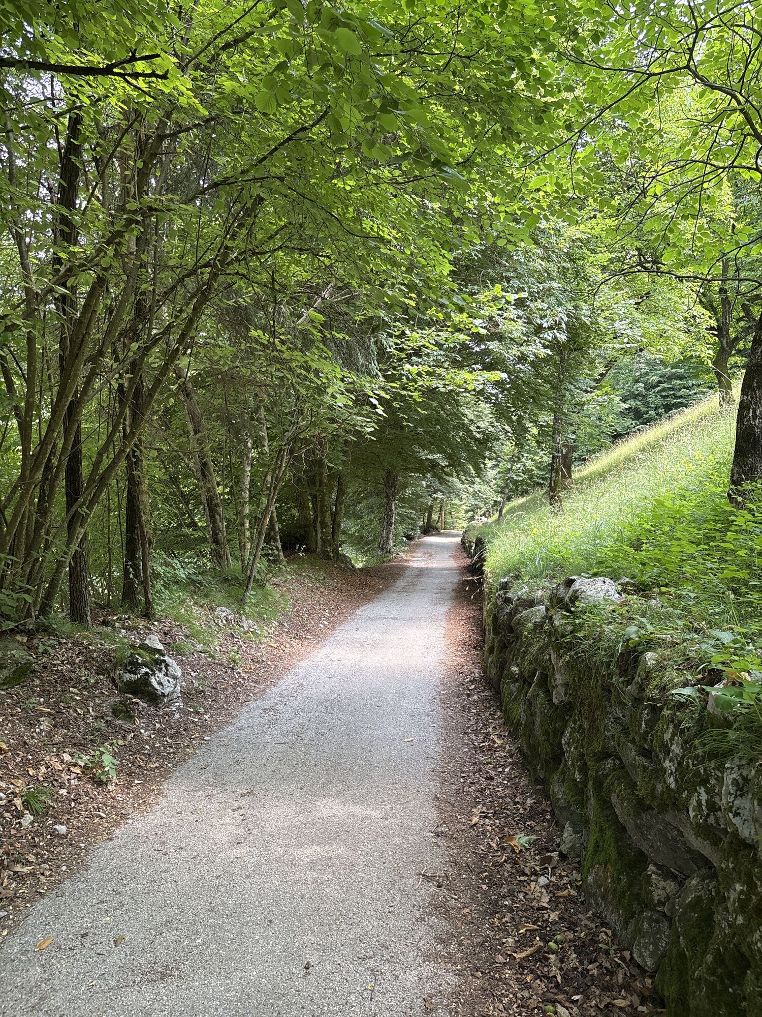
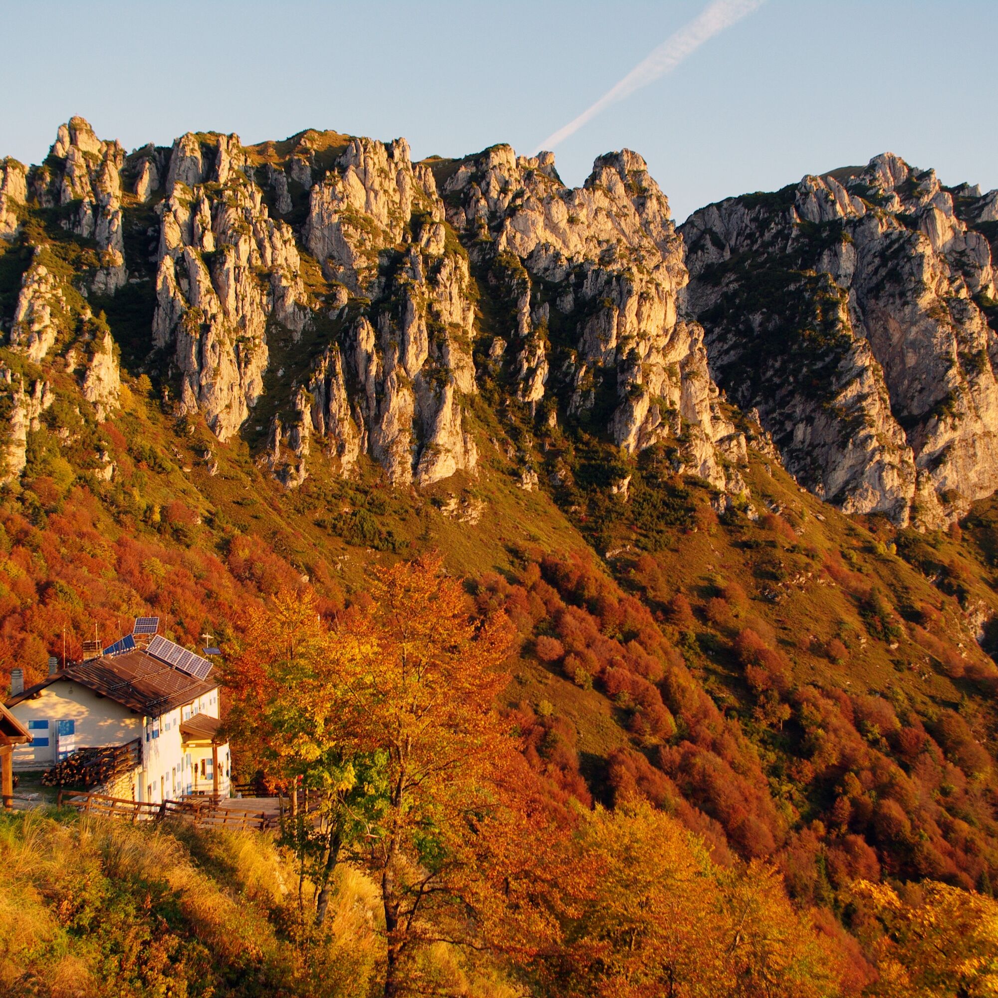
On this stretch, the signposting is very clear, and in any case, one thing is certain; it’s all uphill, and plenty of it. After a long stretch on the road, as you near your destination, the road turns into a dirt track. When you come to the pass, you will find the mountain hut Rifugio Nino Pernici on your right, a historic destination for local mountain bike enthusiasts.
As an alternative to shorten the tour, instead of continuing to Rifugio Pernici, we can take the 732a. Variante Dos de Preghent Trail along the asphalt road from Lenzumo to Malga Trat and return to Locca along this route. If we choose this option, the ride from Locca back to Riva follows the same route we took in the first part of tour, only in the opposite direction.
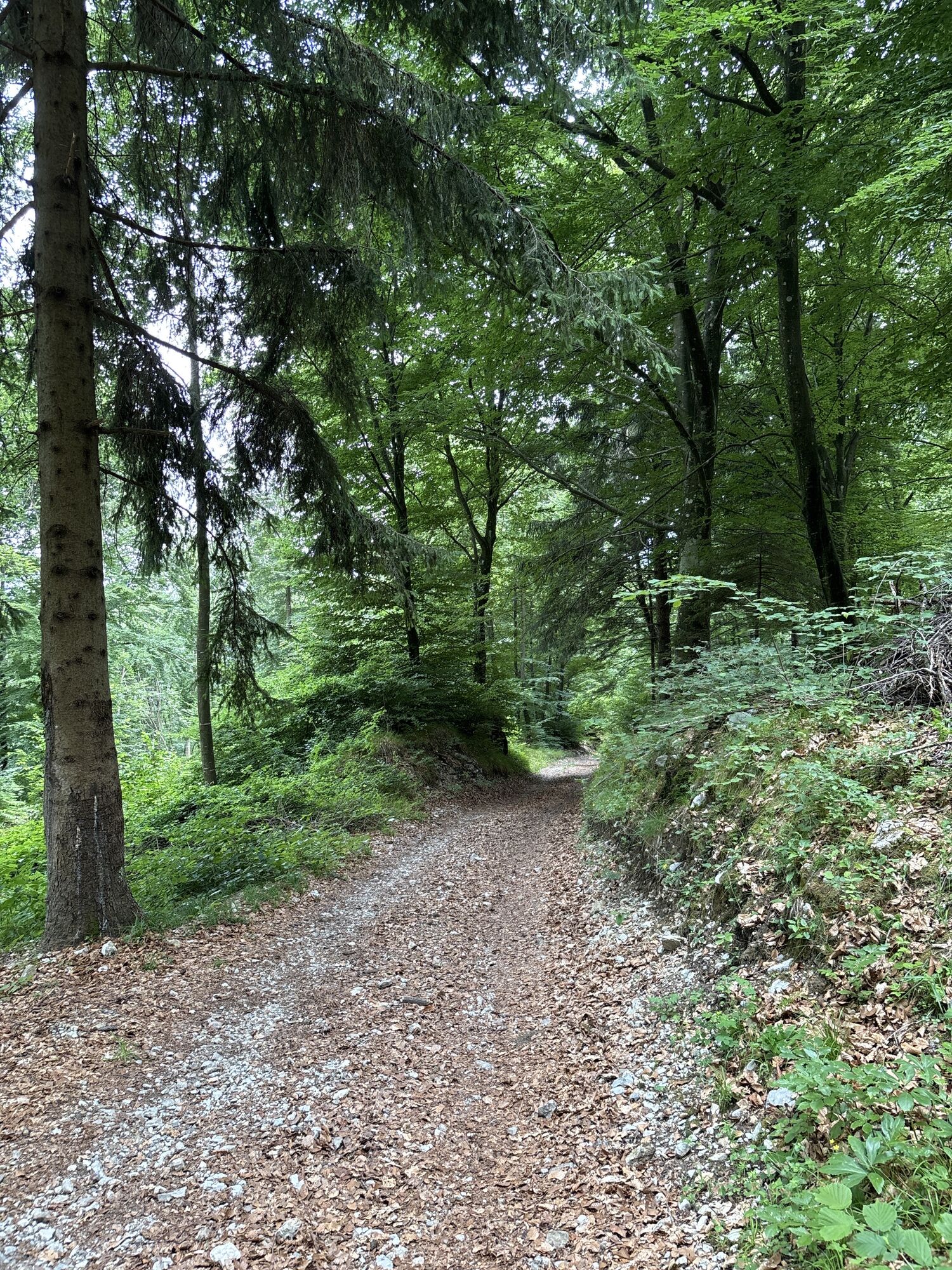
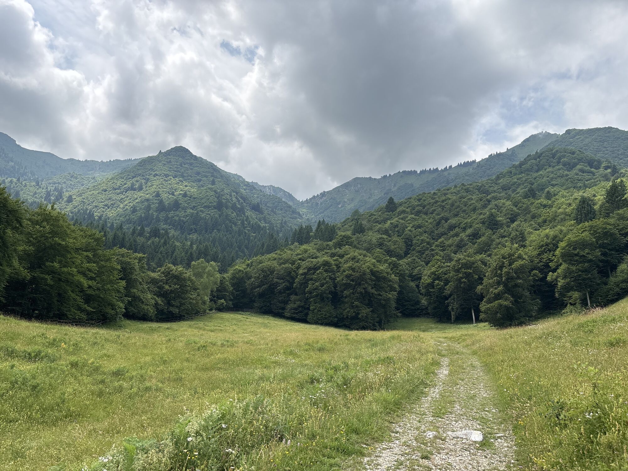
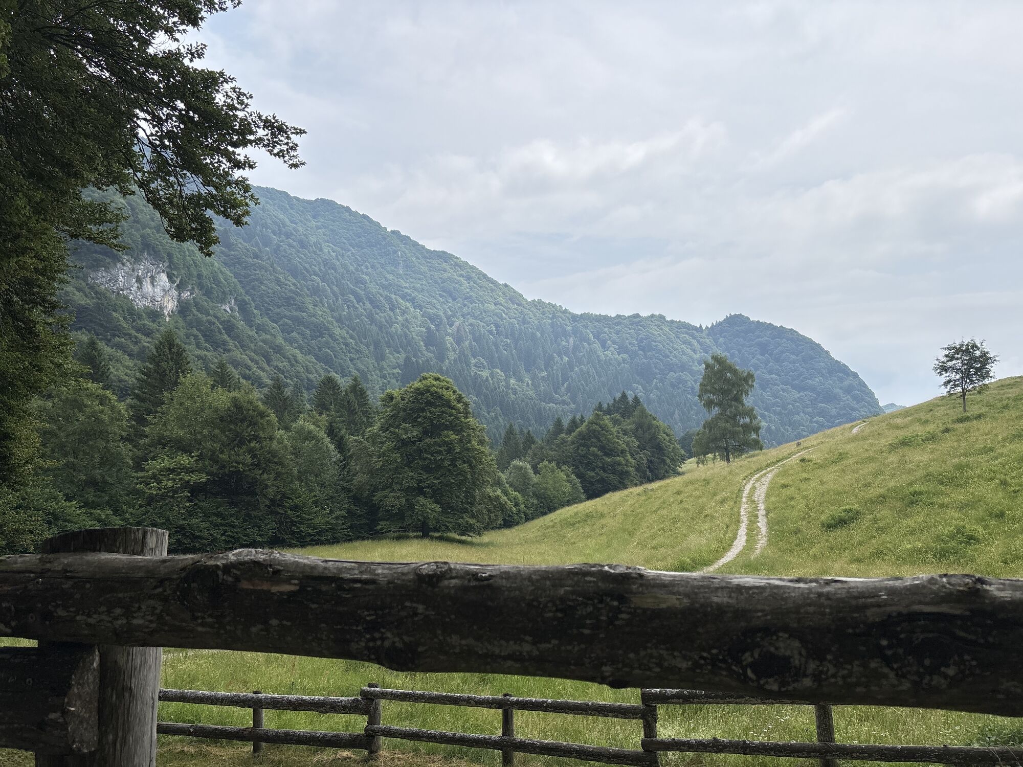
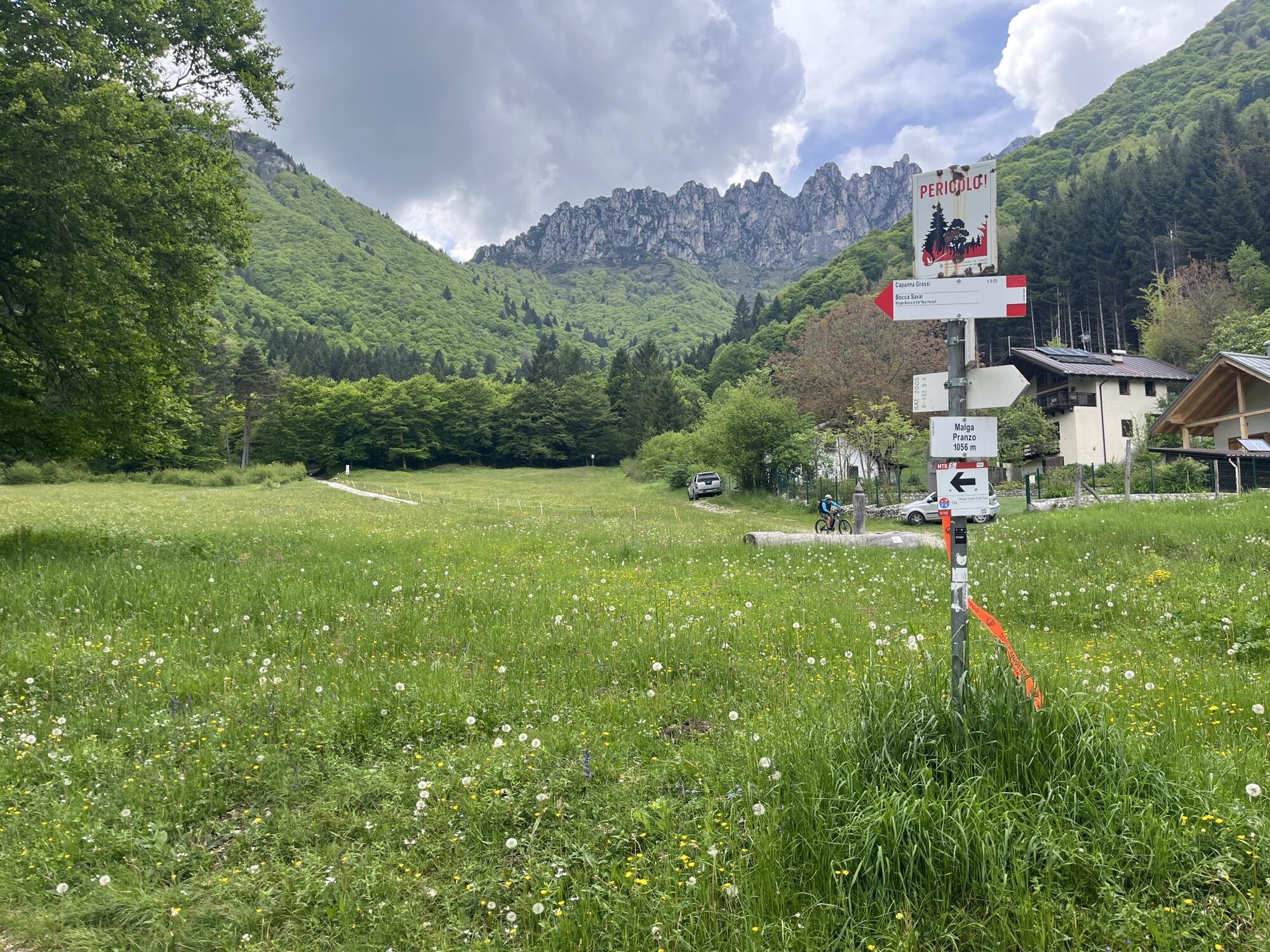
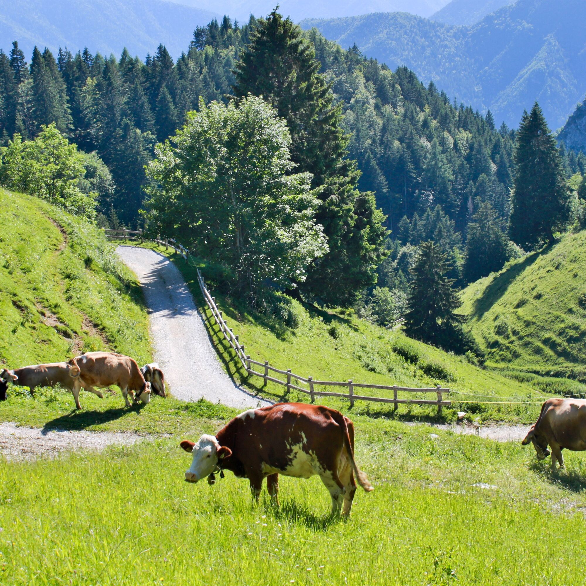
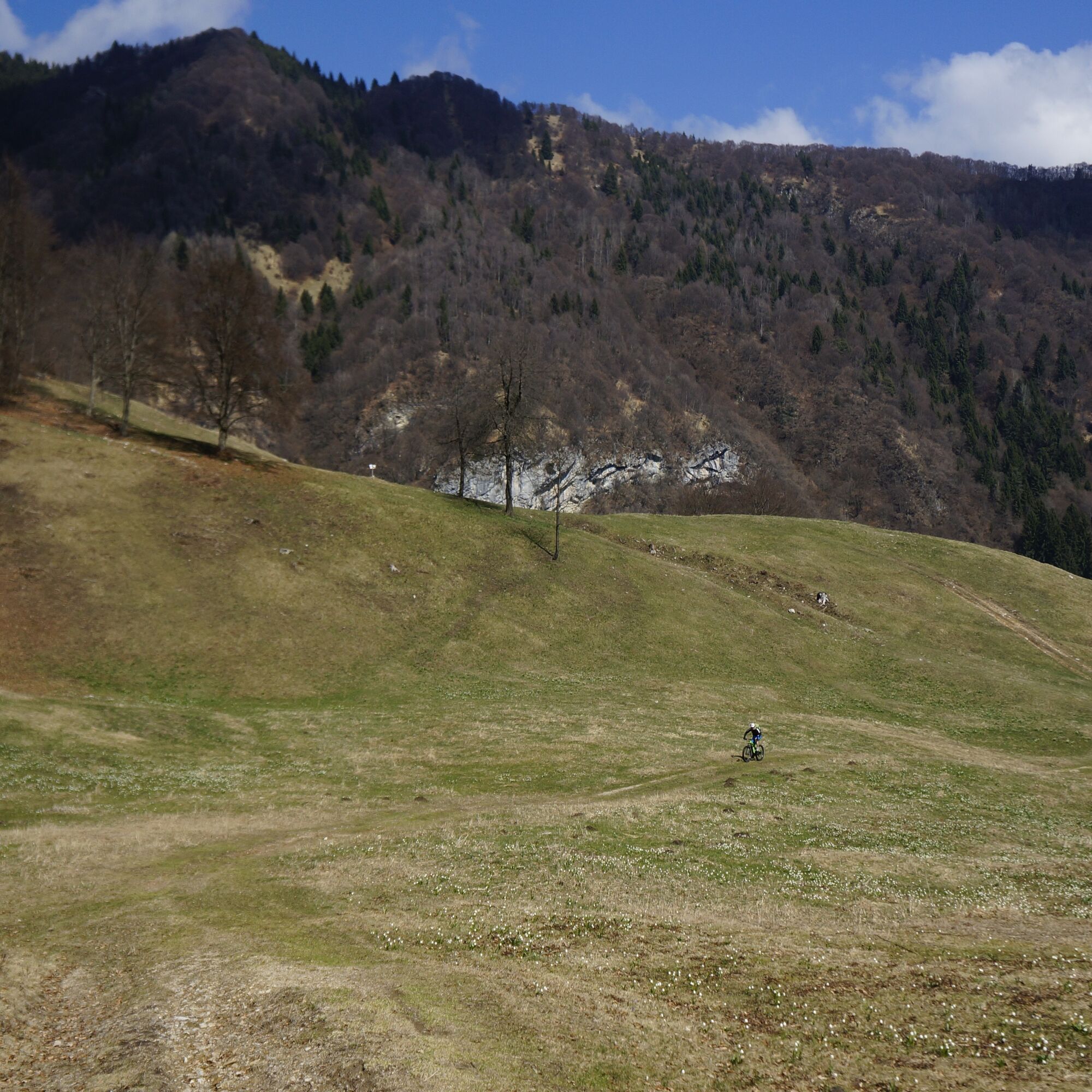
From Bocca di Trat, the direction for the descent is clear, so head down the other side, in what, in certain stretches, feels like a steep stream of rocks. Once you get to the meadows of Malga Pranzo, turn right towards the nearby mountain hut Capanna Grassi, another popular destination with local bikers.
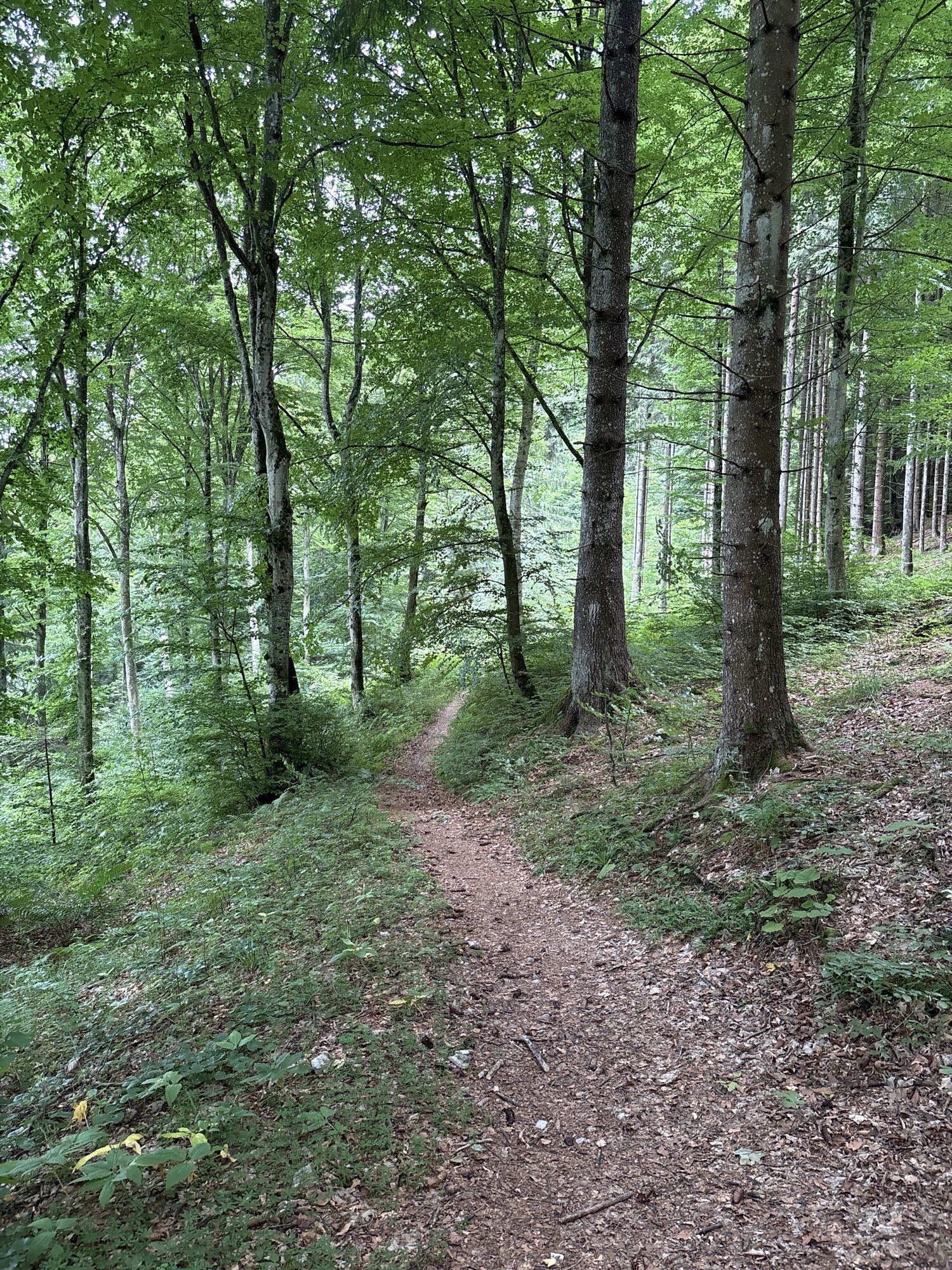
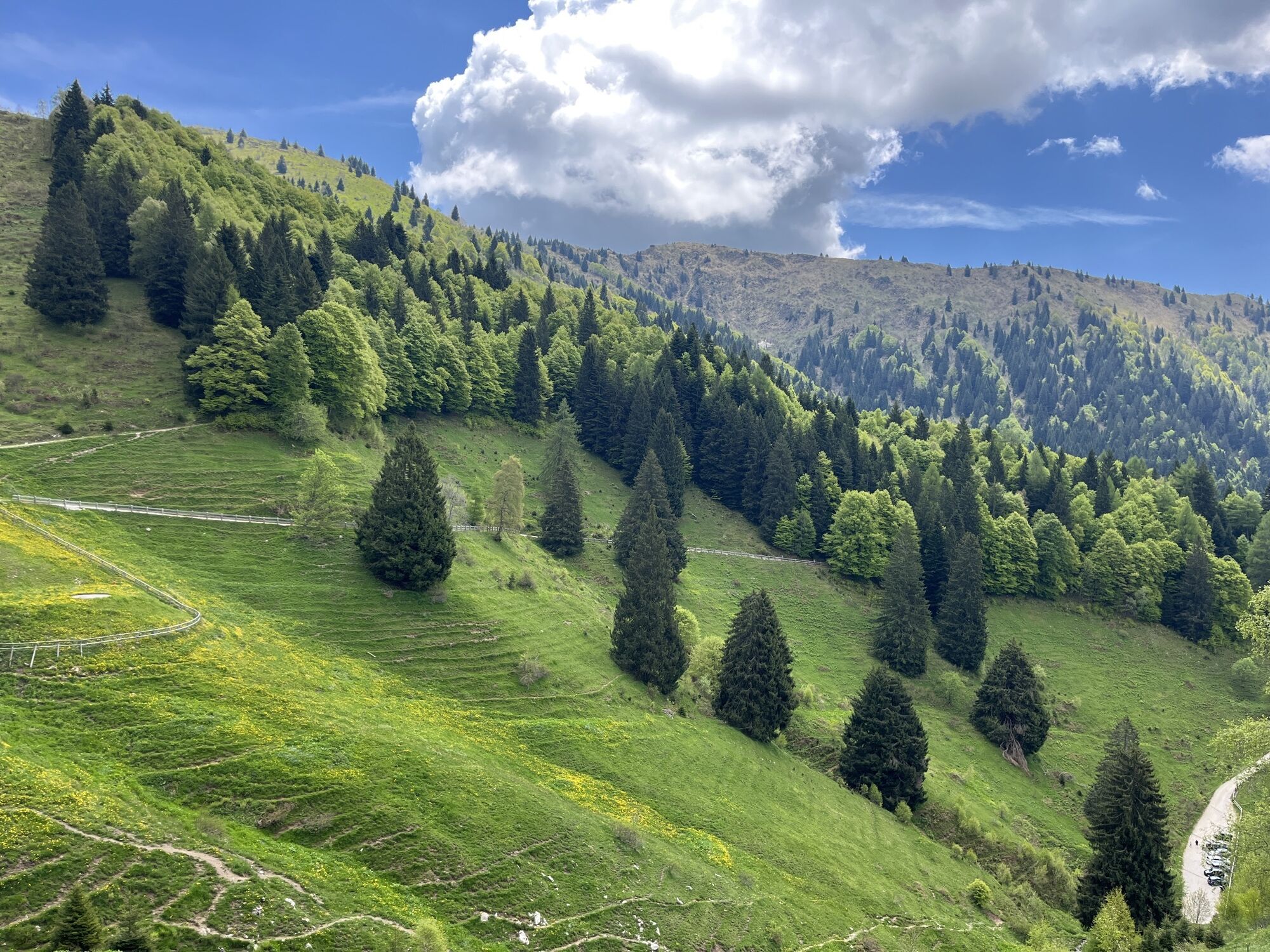
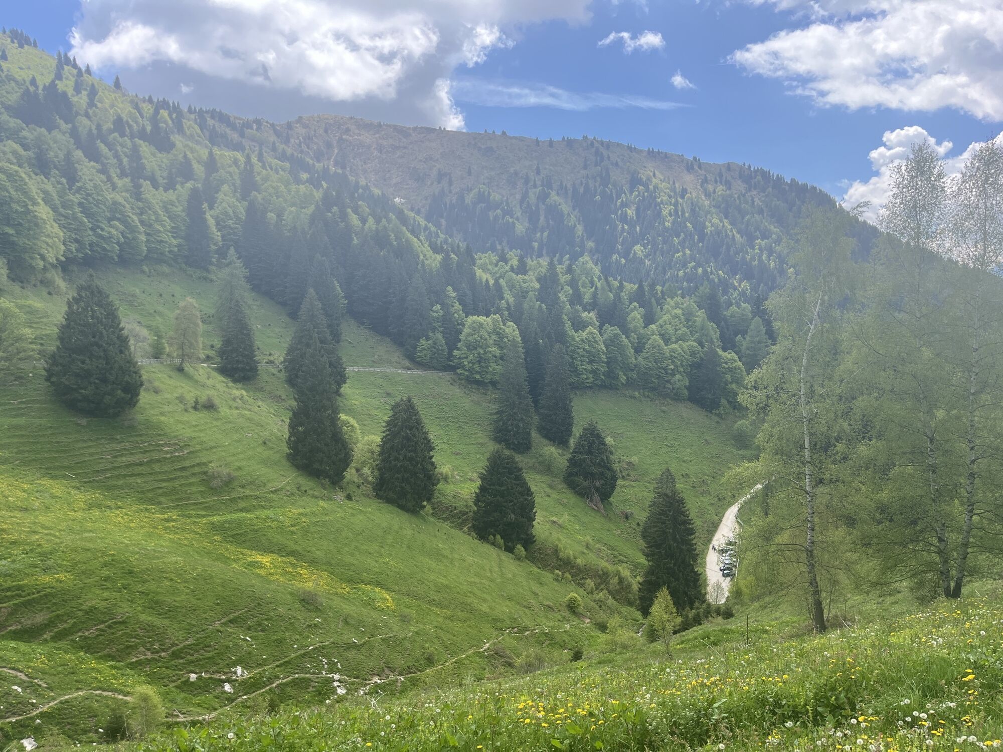
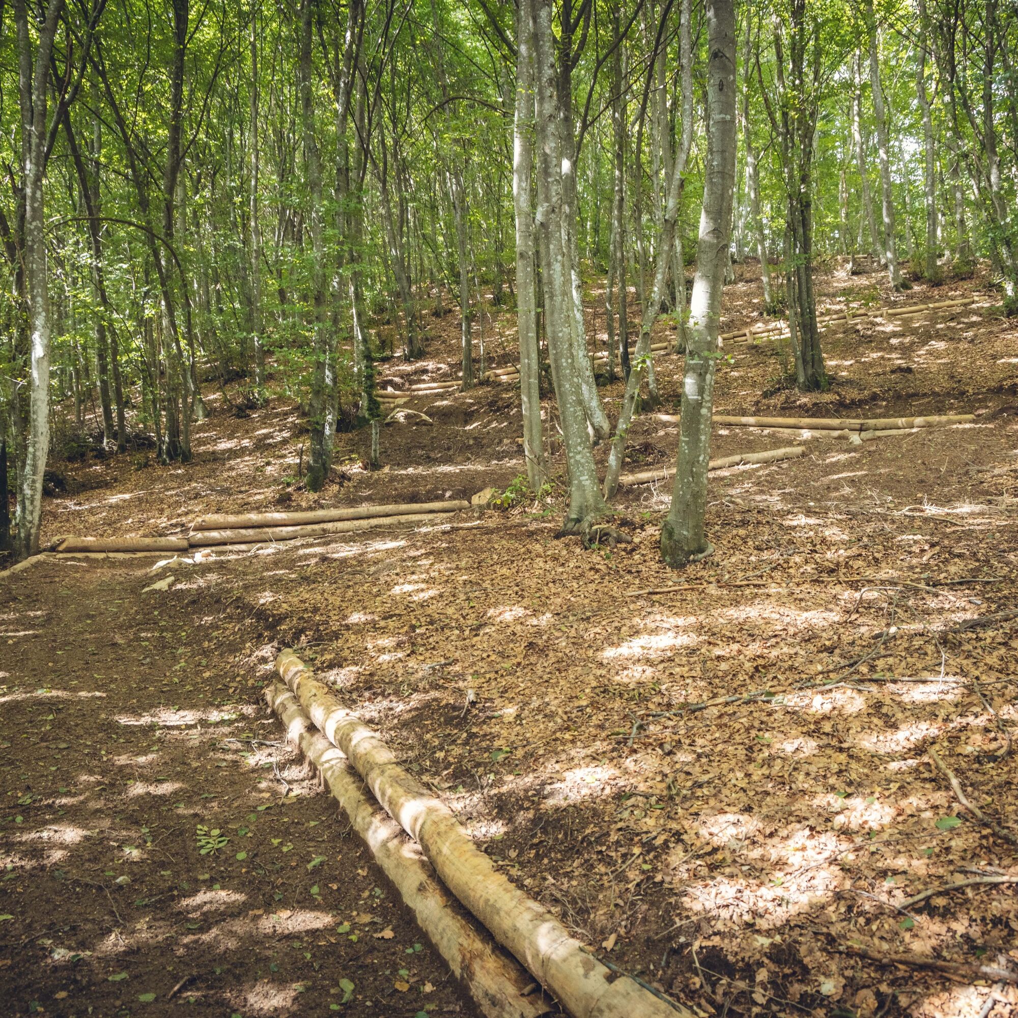
With or without a break, it’s now time to cross the torrent and prepare for the descent, which has in store a wonderful surprise: the first trail designed from scratch and entirely built by the Garda Rangers to create a tailor-made experience for bikers. The trail is suitable for all experience levels thanks to a regular surface and a width of 1,20 m, but there are lots of curves to ensure a fun experience as well! Near Parisi, the trail meets the concrete road.
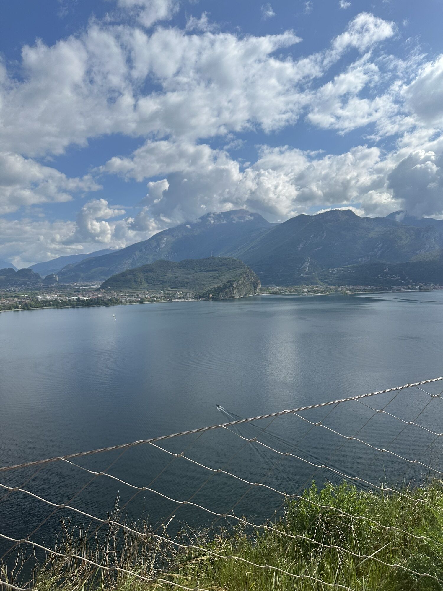
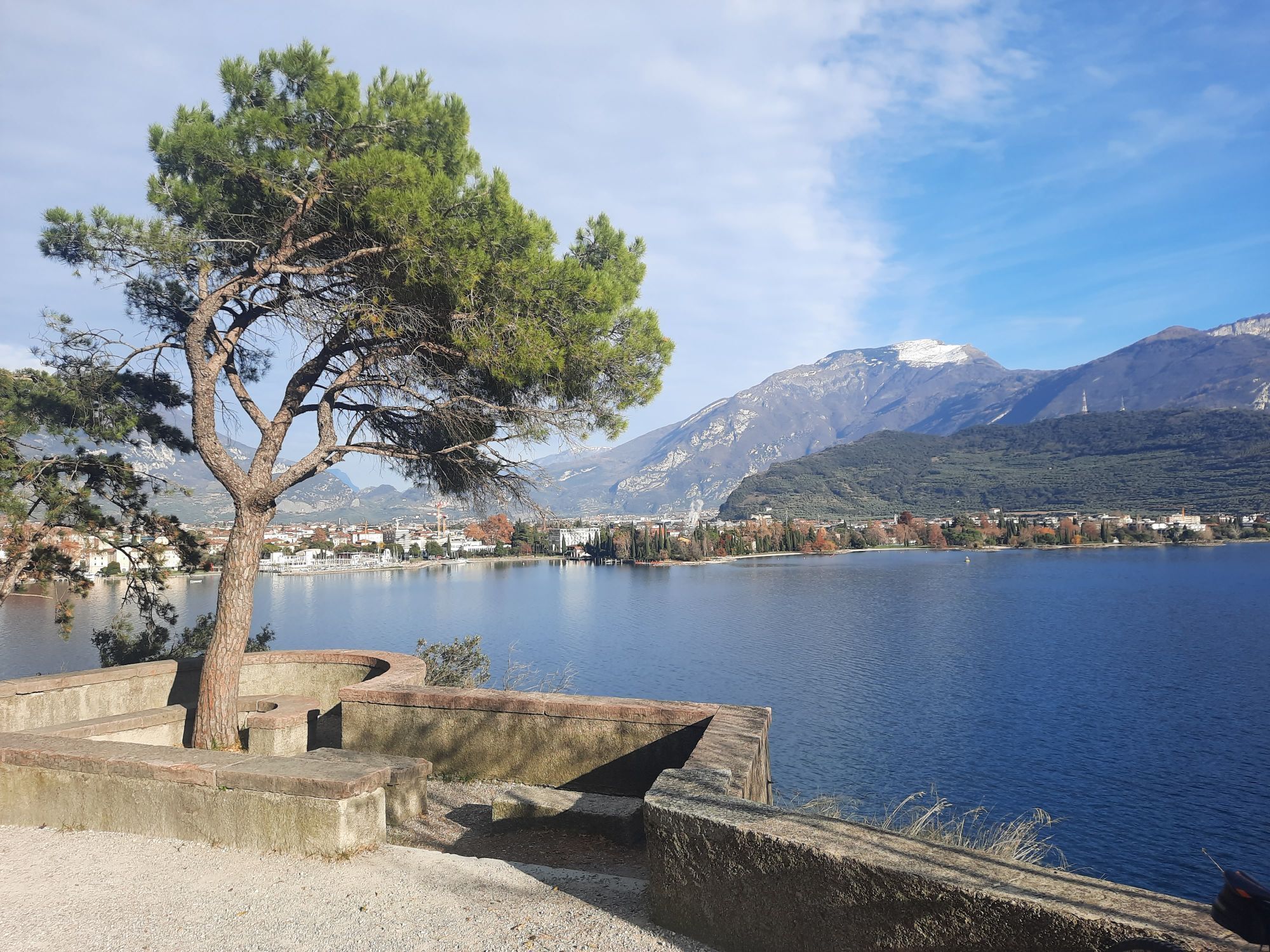
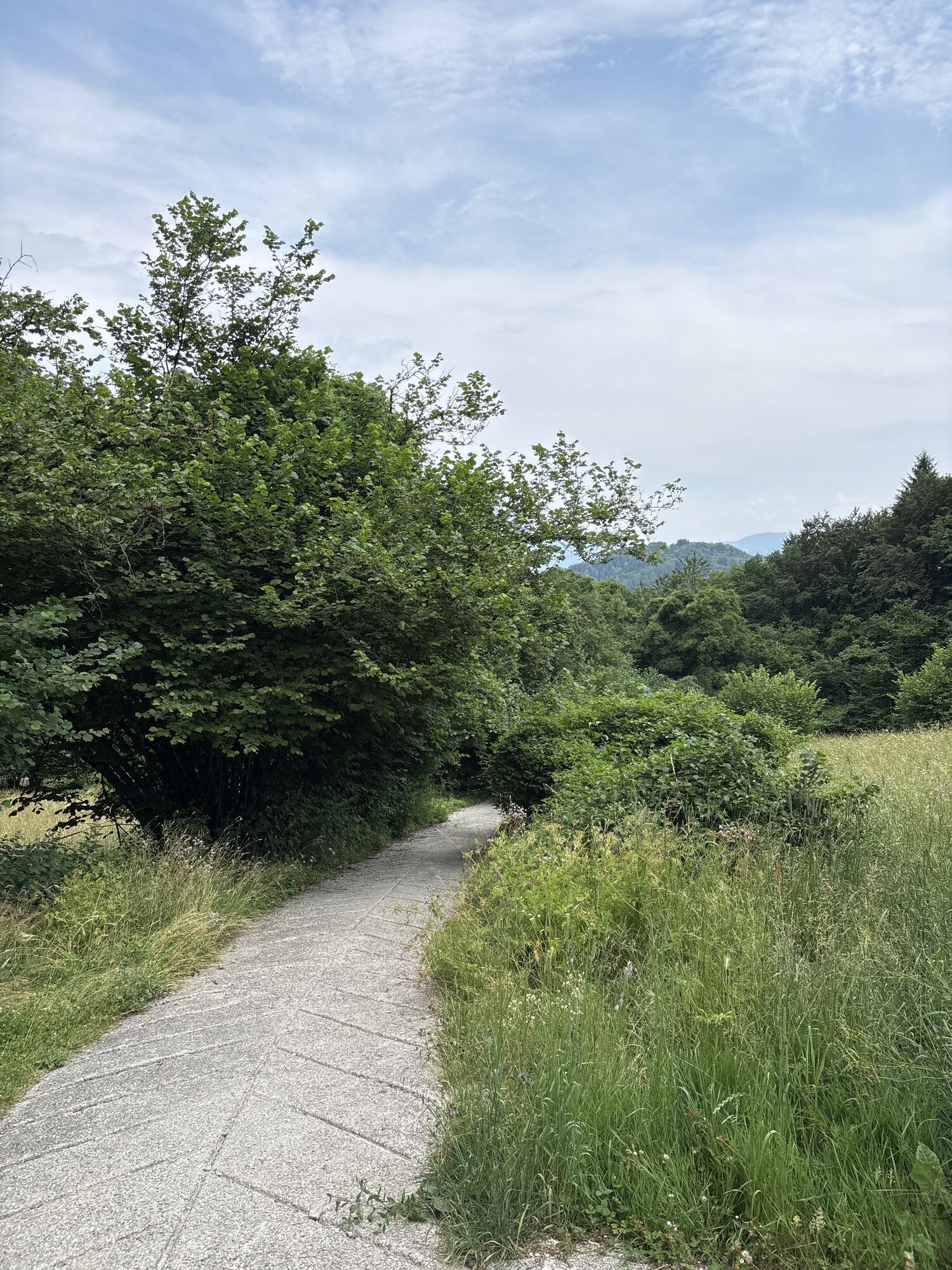
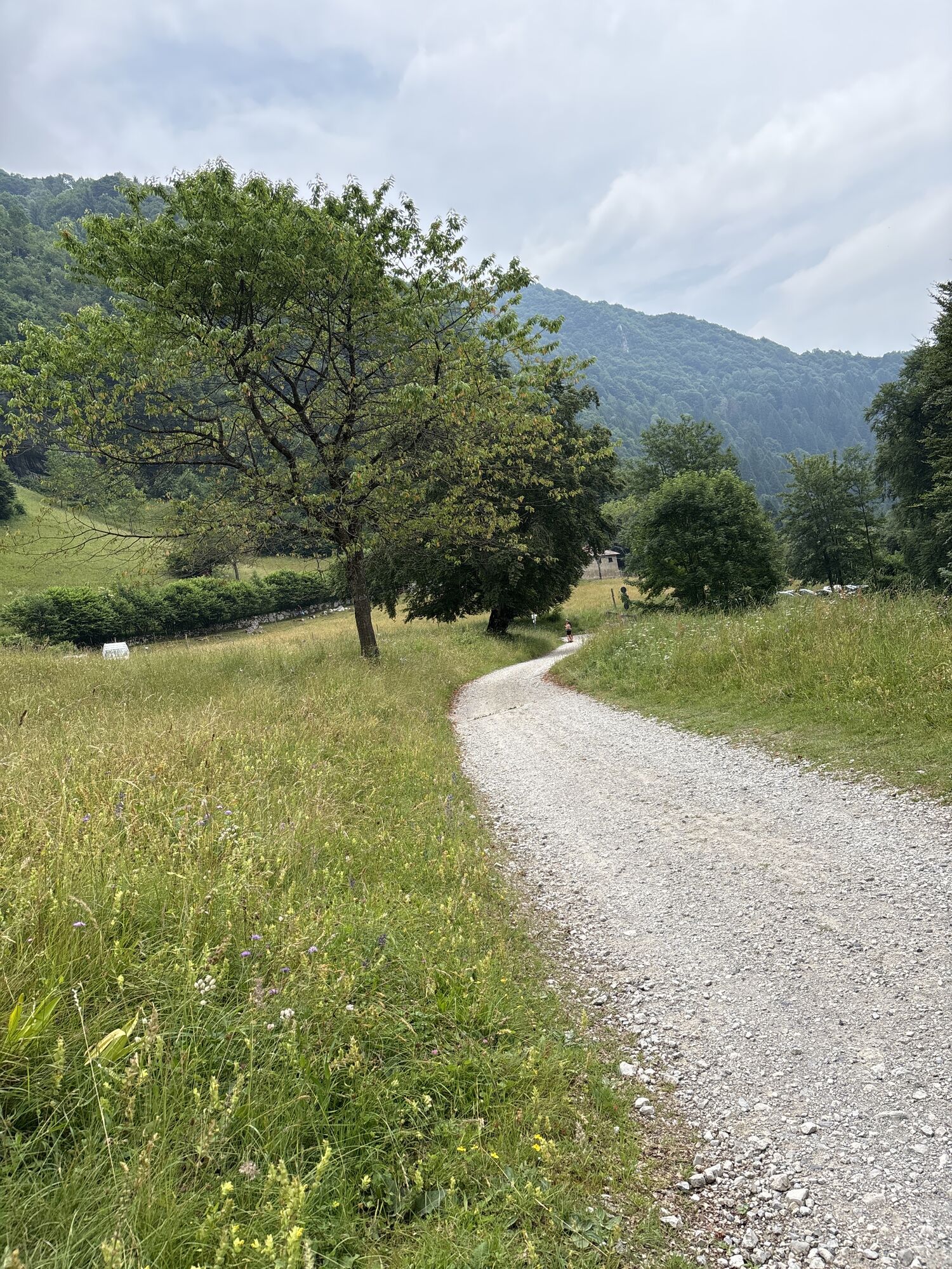
Once you have done the final stretch on cement, you pass in front of the church of San Rocco, continuing on to the start of the Pinza trail. From here on, you are on a dirt track once more, but it is stable and fairly easy. Mind your speed though because even though the trail is quite wide some stretches are very exposed. Take your time and enjoy the panorama on the last stretch which is almost entirely on cement. Your brakes will be red hot. At the end of the descent, you are practically at the entrance to the centre of Riva del Garda, your point of departure.
Riding your bike requires specific clothing and equipment, even for relatively short and easy trips. It is always better to be prepared… e.g. for bad weather or a sudden drop in your energy levels. The unexpected things are part of the fun!
Remember to thoroughly evaluate the type of route you plan on doing, the locations you intend to cross and the current season. Has it been raining? Attention: The paths may be slippery and require more caution.
What do I need to bring on my bike tour?
An adequate water supply according to your needs (considering temperature, possibility of refuelling and duration of the route) Plenty of snacks (for example, dried fruit or energy bars) Waterproof / Windproof jacket A spare top / spare socks (Descending in a sweaty garment, will make you cold). Suncream Sunglasses Bike gloves/mitts Map or GPS device Bike lights: best placed on your helmet or handlebars. (It is always best to be prepared) Bike repair kit for punctures and mechanical breakdowns First aid kit Emergency whistleIt is always advised to let someone know where you plan to go and how long you expect to be.
Emergency telephone number 112.
ITRS - International Trail Rating System
The ITRS is an objective way to assess trails and routes from a biker’s perspective, evaluating four aspects:
Technical Difficulty: riding skill level needed Endurance: combined effect of length, uphill and downhill Wilderness: amount of planning required based on mobile phone reception, rescue options, water supply and wildlife Exposure: consequences of a fallDiscover more about the ITRS system and check the classification of this tour in the photo gallery.
Safety Tips
Always wear your helmet. Plan your ride. You share the trail with other users. Yield right of way to hikers. Let your speed be determined by your experience. Ride slowly on crowded trails, overtake with politeness and respect. Cycle only on authorized and open trails. Avoid muddy trails in order not to damage them further. Respect public and private property. Always be self-sufficient. Do not cycle solo in remote areas.This information is subject to inevitable variations, so none of these indications are absolute. It is not entirely possible to avoid giving inexact or imprecise information, given how quickly environmental and weather conditions can change. For this reason, we decline any responsibility for changes which the user may encounter. In any case, it is advisable to check environment and weather conditions before setting out.
Find out how to reach Garda Trentino.
The main towns in Garda Trentino - Riva del Garda, Arco, Torbole sul Garda, Nago – are connected by several urban and intercity bus lines which will take you to the starting point of tours or in the immediate surroundings.
You can also get to Riva del Garda and Torbole sul Garda by the public ferry service.
Parking near the former hospital (Via Rosmini).
Paid parking: Terme Romane (Viale Roma), Vecchia stazione (Largo Medaglie d’Oro), Ex-agraria (Via Lutti).
At the Rifugio Pernici you should not miss the occasion to taste the famous potatoes polenta or the strangolapreti (spinach gnocchi)...
 Pridobite vpogled Vedno v živo na mestu z več kot 9.500 spletnimi kamerami. bergfex Kot uporabnik Pro si lahko zdaj ogledate ustrezne spletne kamere za številne izlete v aplikaciji izleti iz. Tako si lahko neposredno ogledate trenutne razmere.
 Priljubljeni izleti v okolici
- 5.0
Bastione and Santa Barbara, the lords of Riva del Garda
srednjaPohodništvo 2.94 km - 5.0
Via Ferrata Signora delle Acque - Rio Ruzza
težkoVia ferrata 5.32 km - 4.8
Bocca Fortini - Tour
težkoMountainbike 35.4 km - 4.8
Via Ferrata Fausto Susatti - Cima Capi (from Ledro)
srednjaVia ferrata 7.11 km - 4.7
Sentiero Busatte Tempesta
svetlobaPohodništvo 7.90 km - 4.6
Via Ferrata delle Laste e Gallerie di Cima Rocca
svetlobaVia ferrata 6.38 km - 4.9
Via Ferrata dell’Amicizia - Cima SAT
srednjaVia ferrata 4.41 km - 4.5
Walking around Lake Ledro
svetlobaPohodništvo 9.40 km - 4.3
Tremalzo Big - Tour
težkoMountainbike 45.6 km - 4.6
Colodri Klettersteig (A/B)
Via ferrata 7.50 km

Pohodništvo in sledenje


Ne zamudite ponudb in navdiha za naslednje počitnice
Vaš e-poštni naslov je bil dodan na poštni seznam.





