







Val di Stava and Guagiola - Tour 928

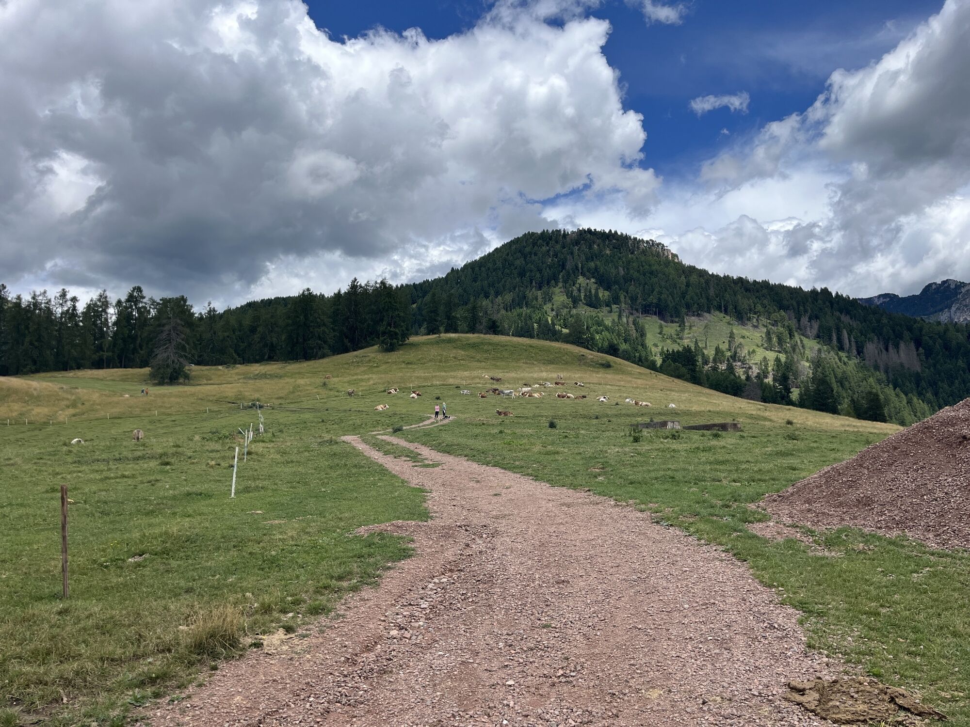
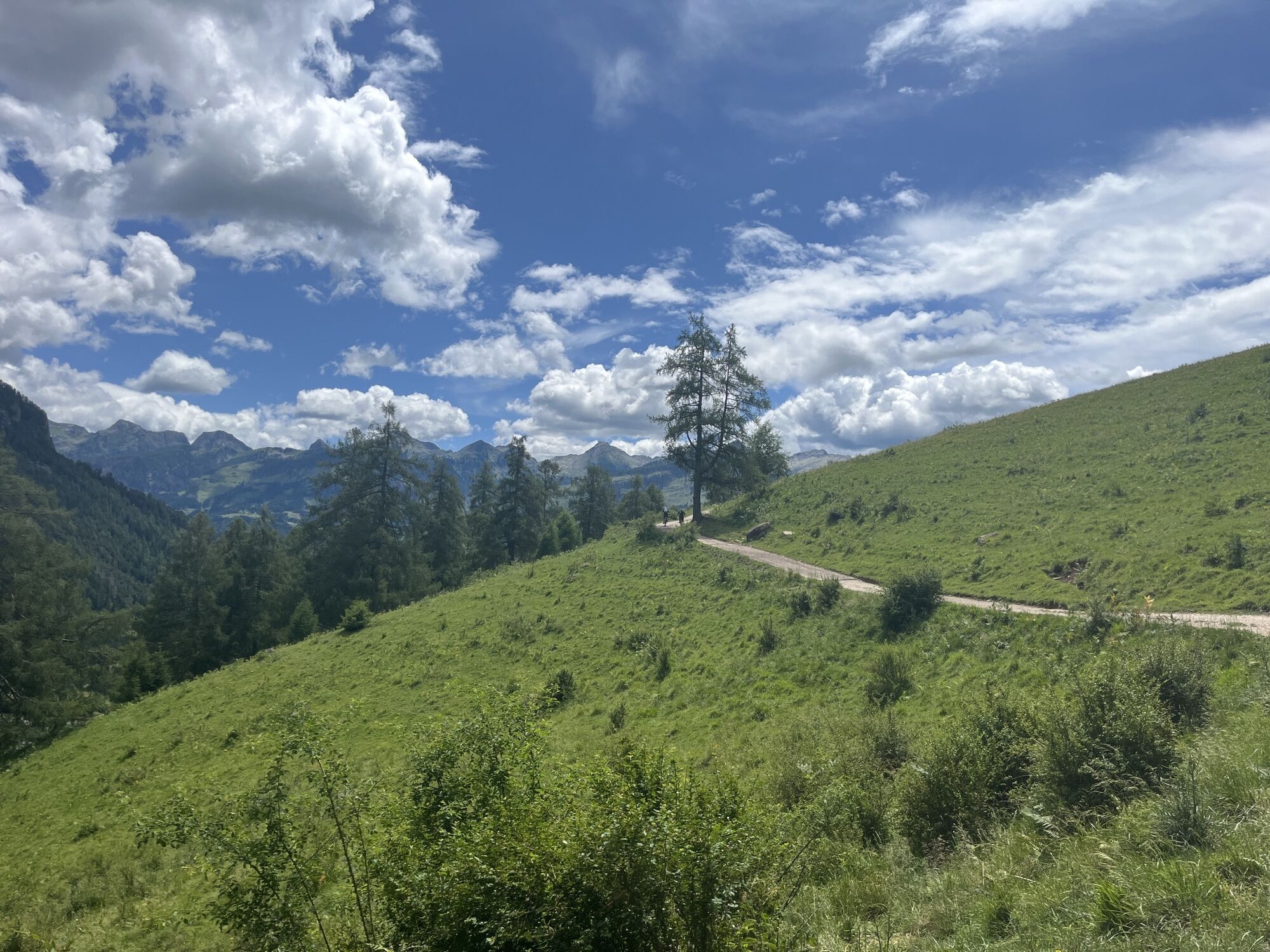
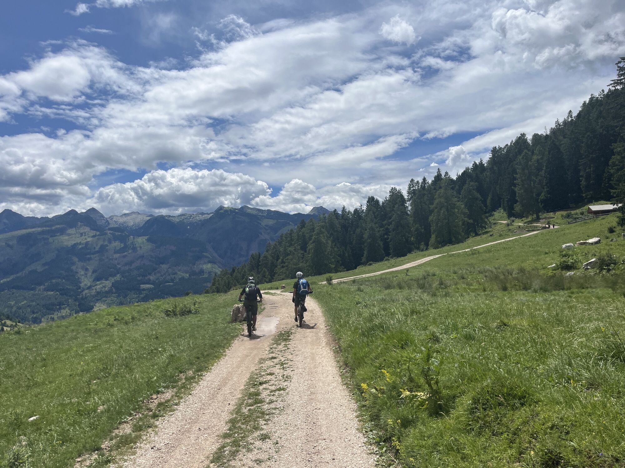
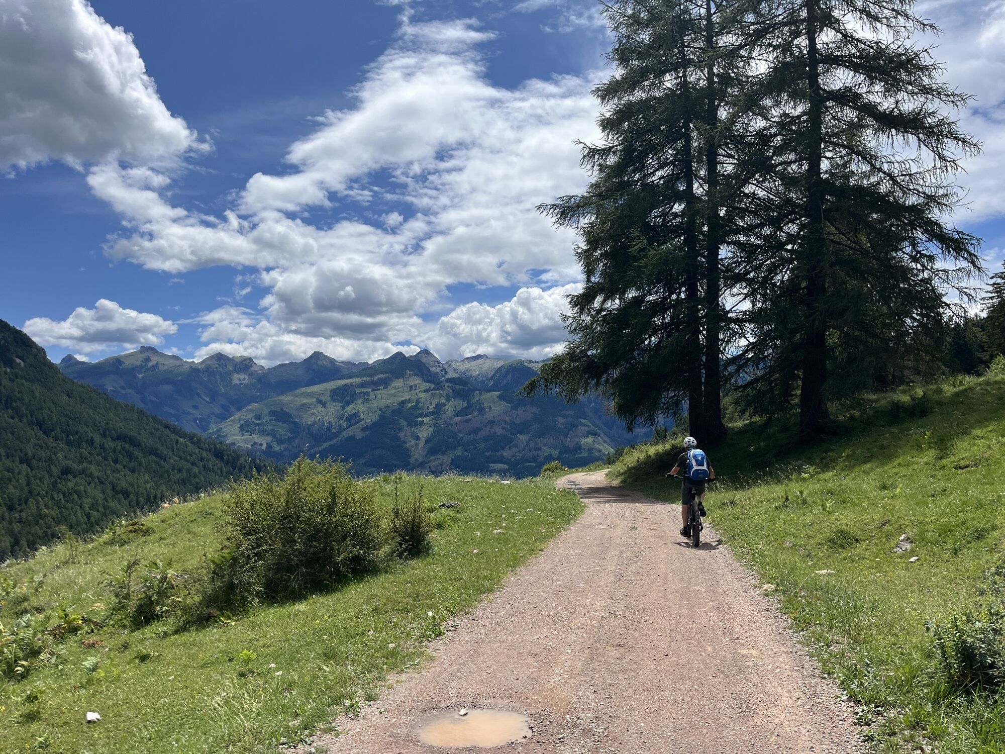
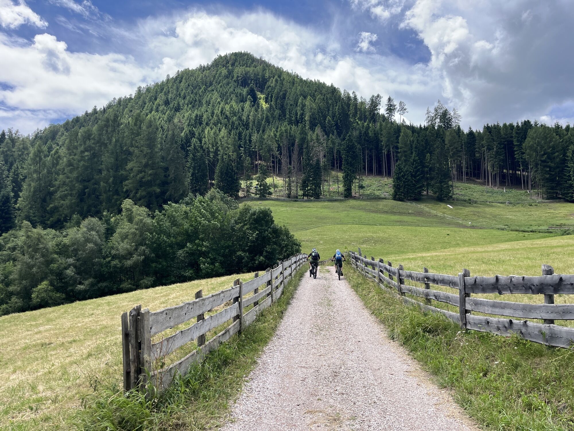
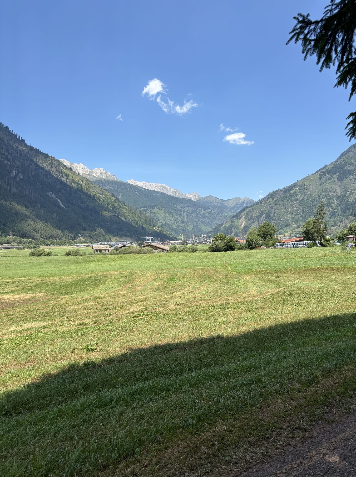
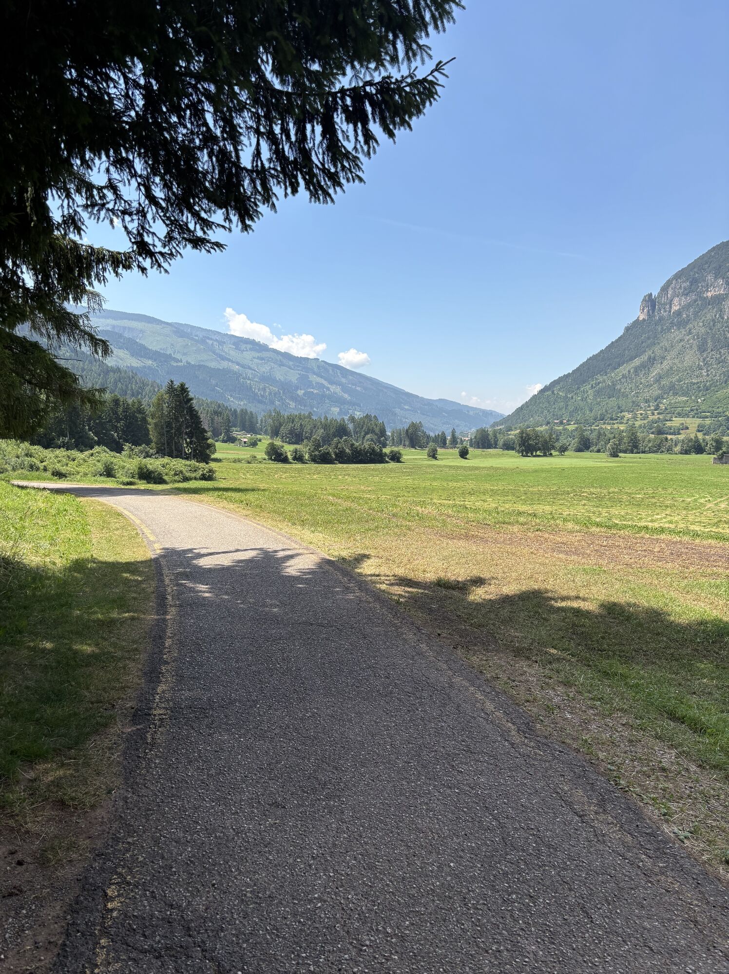
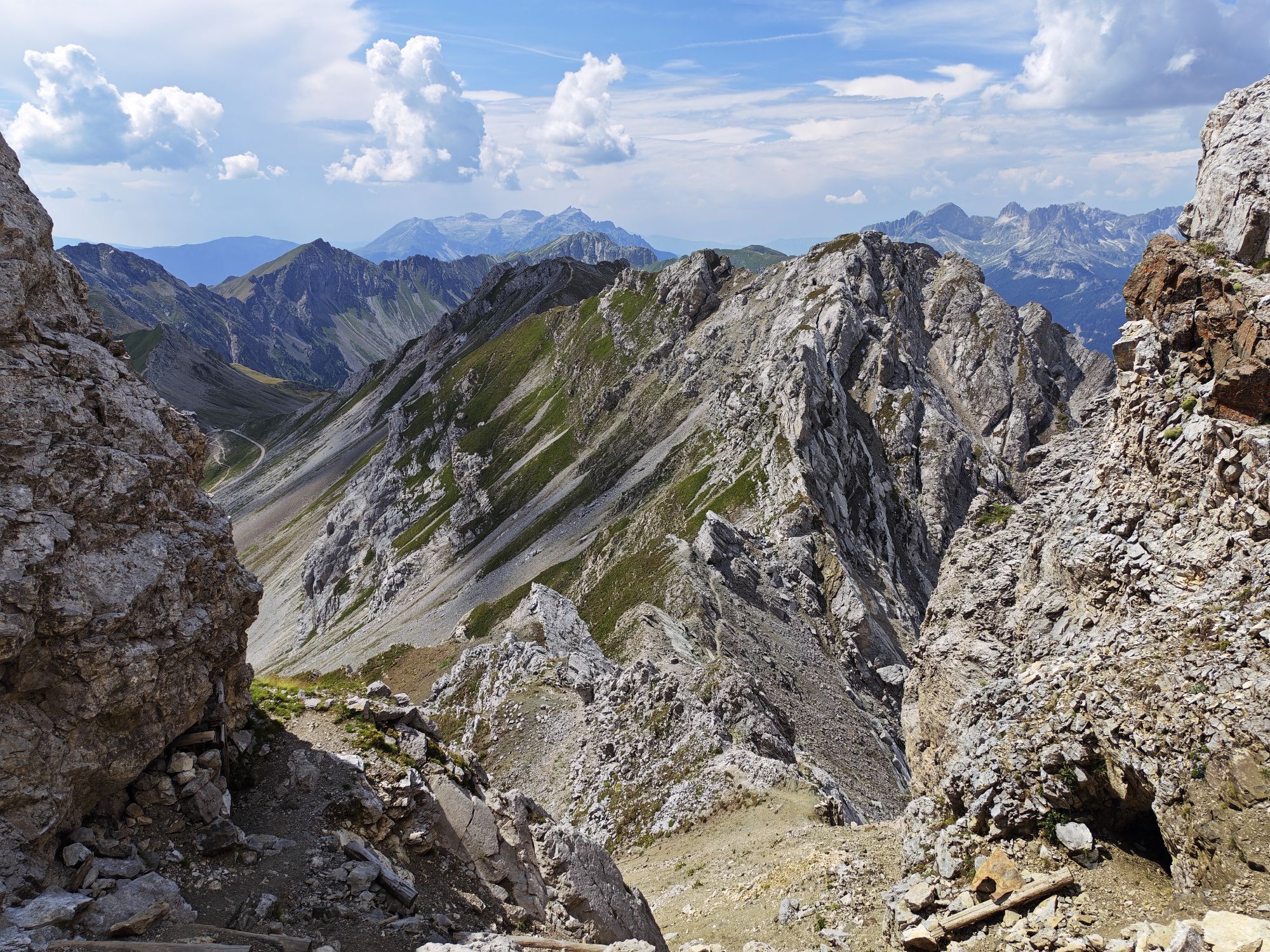
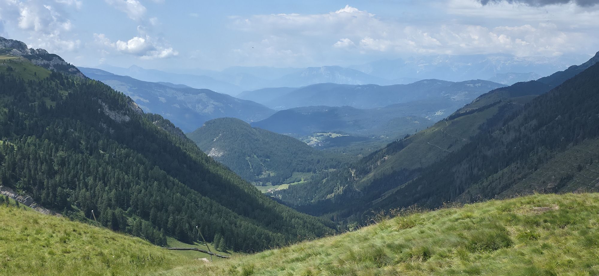
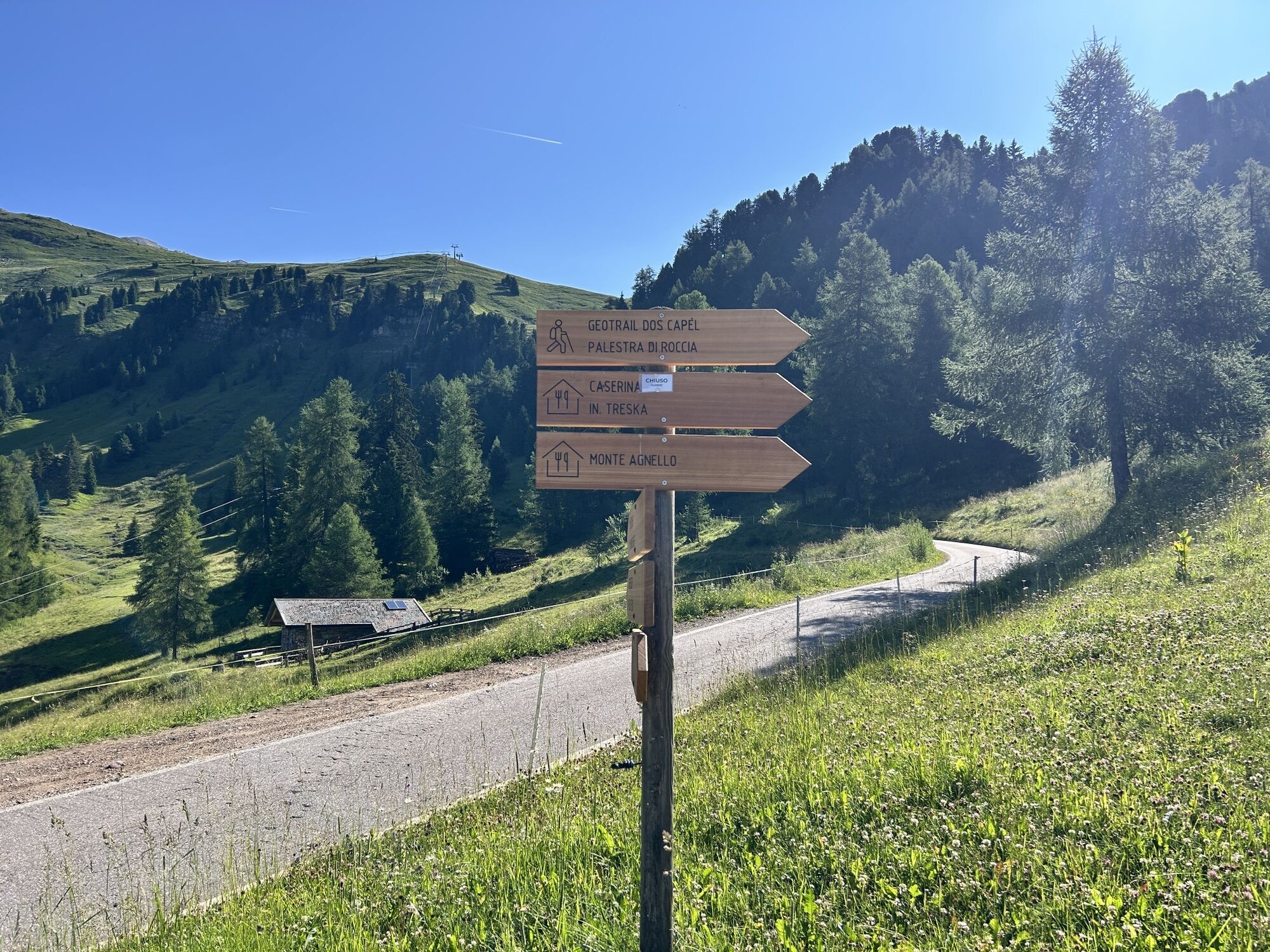
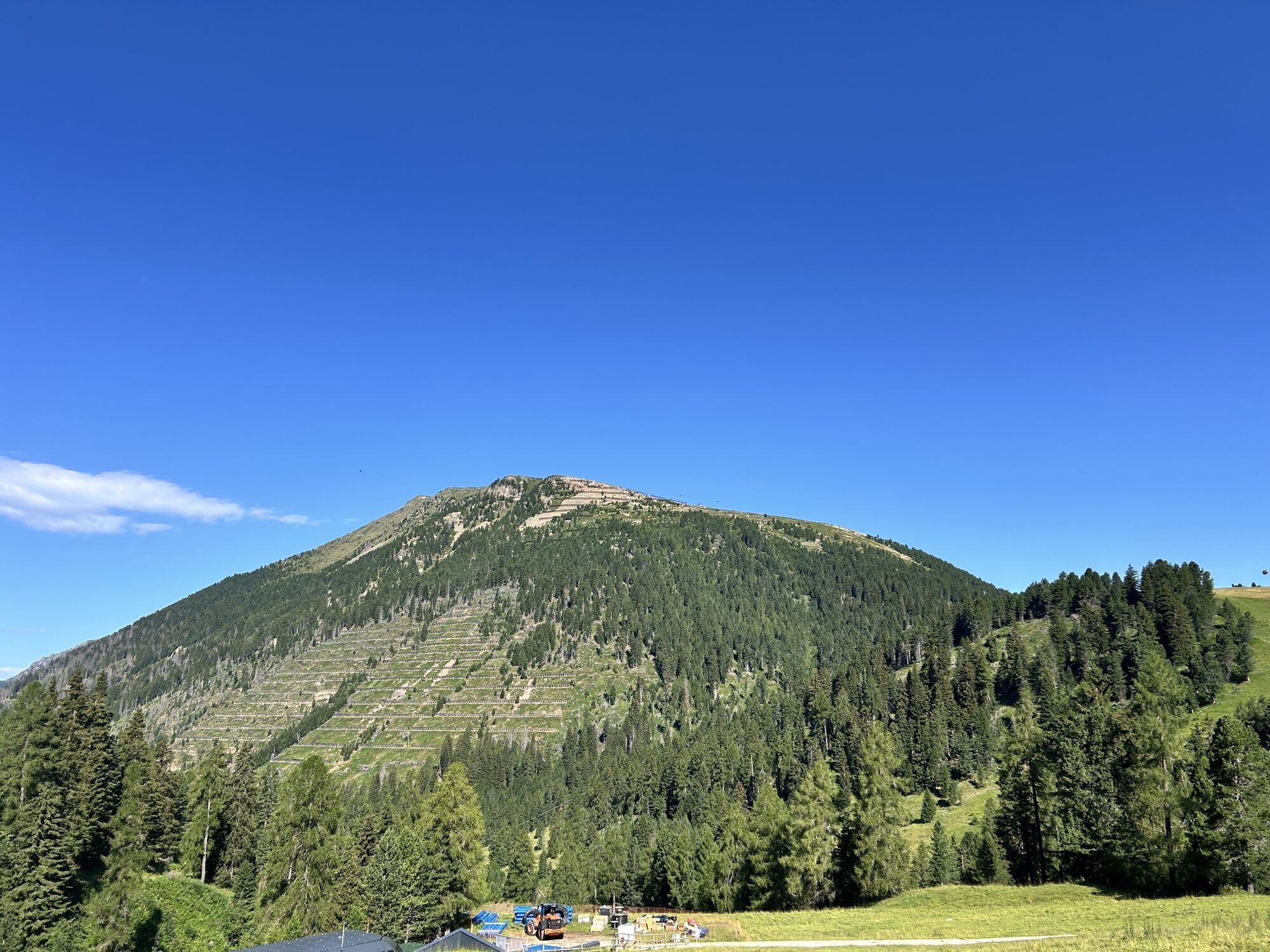
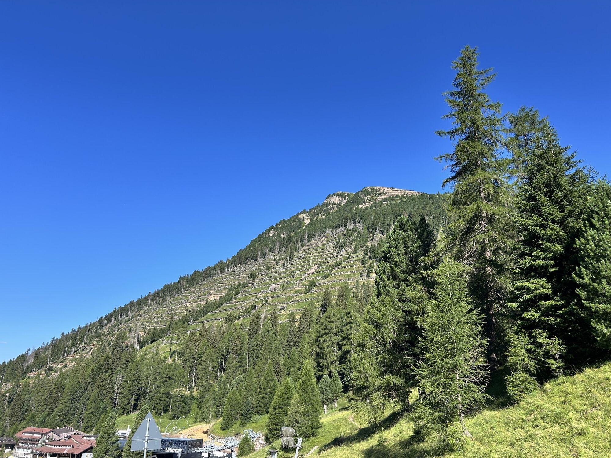
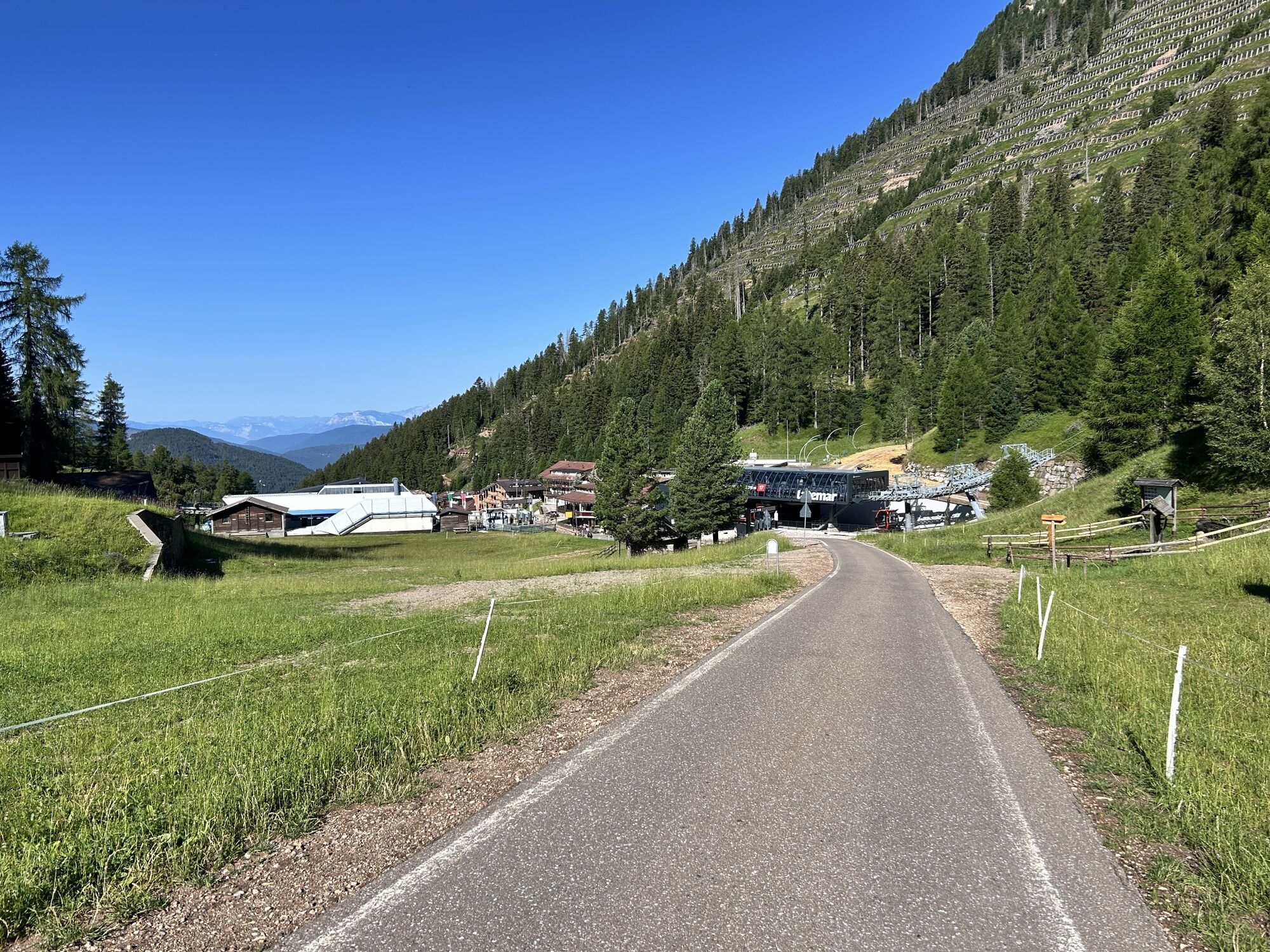
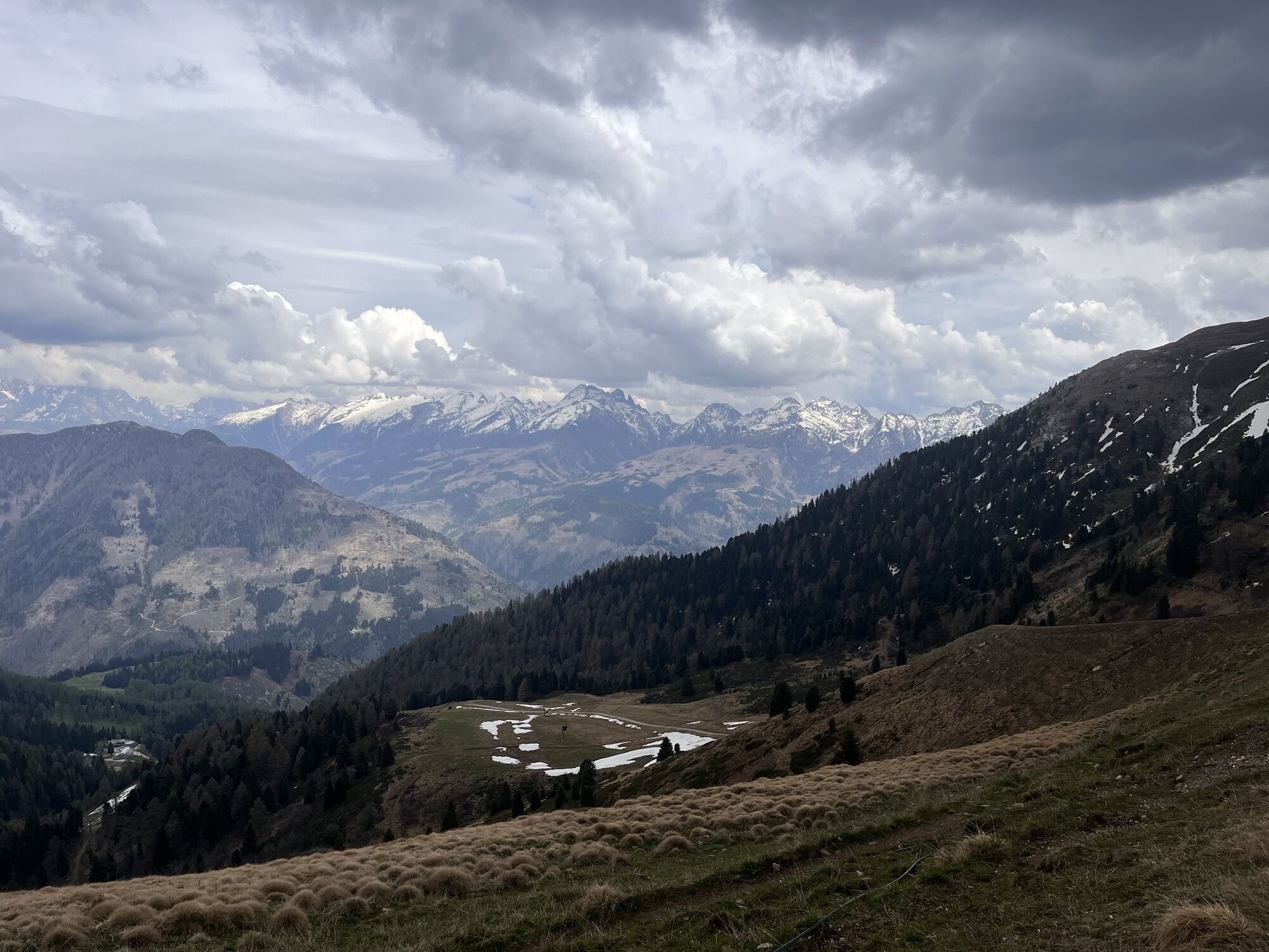
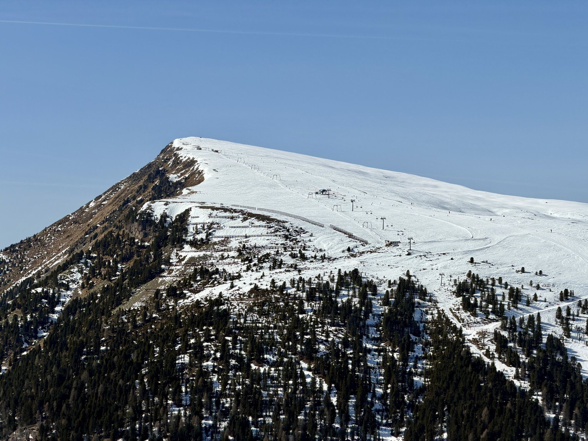
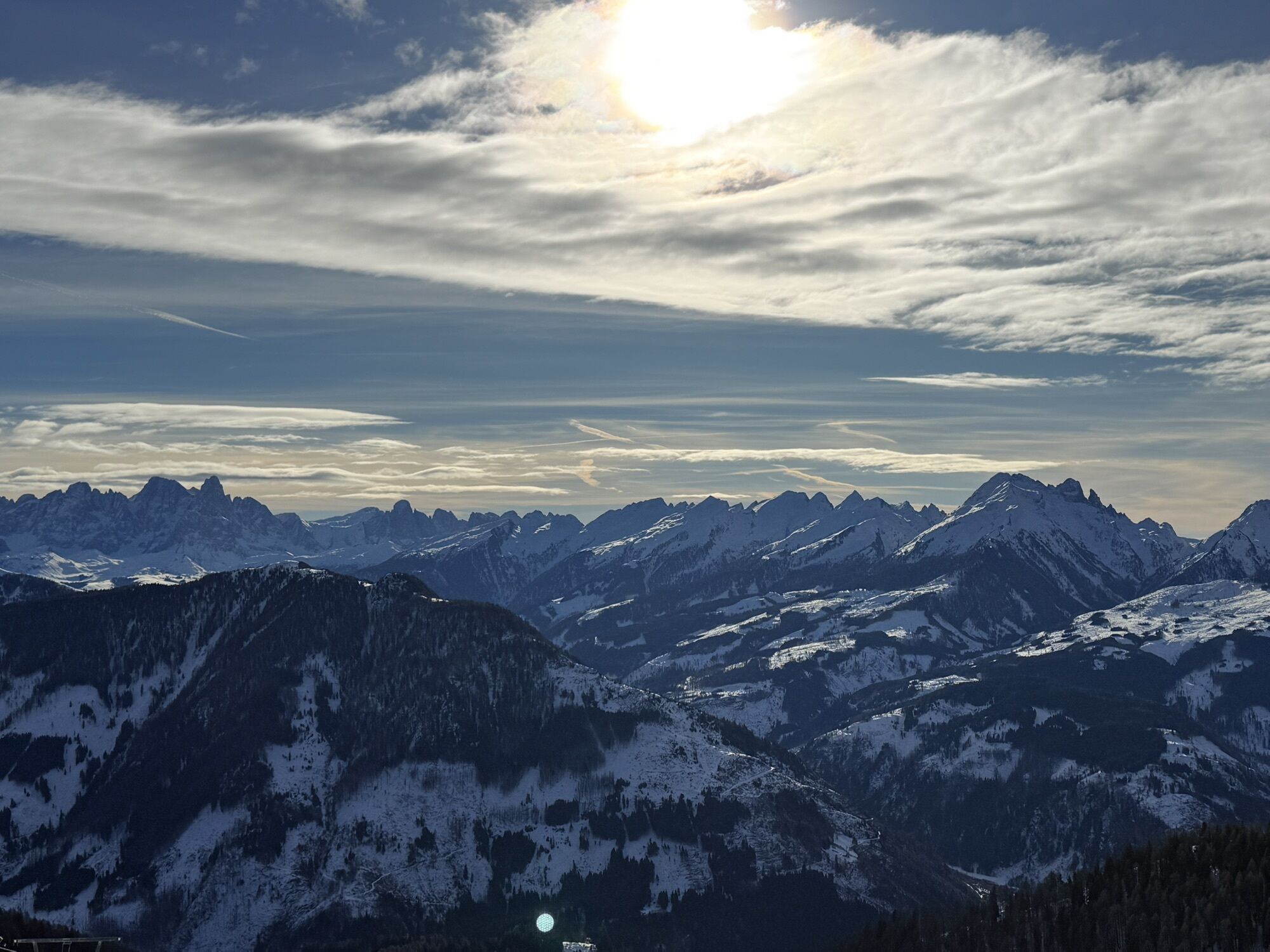
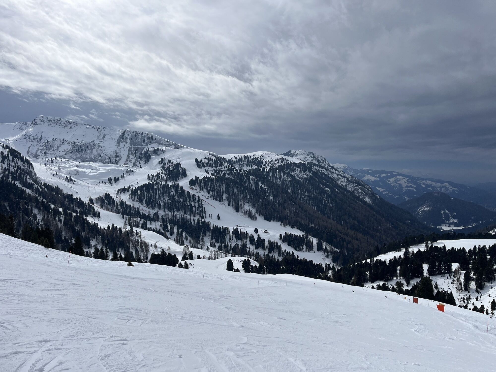
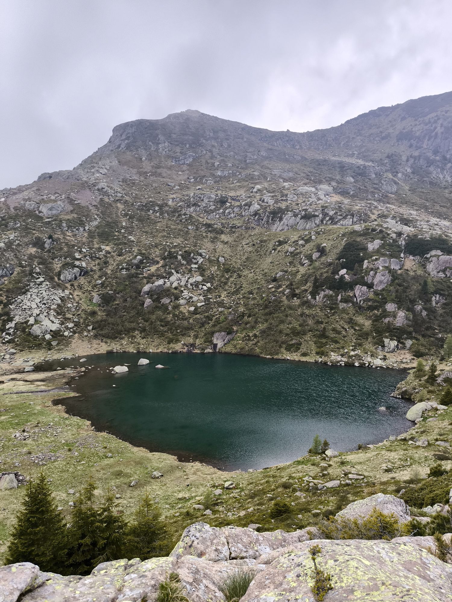
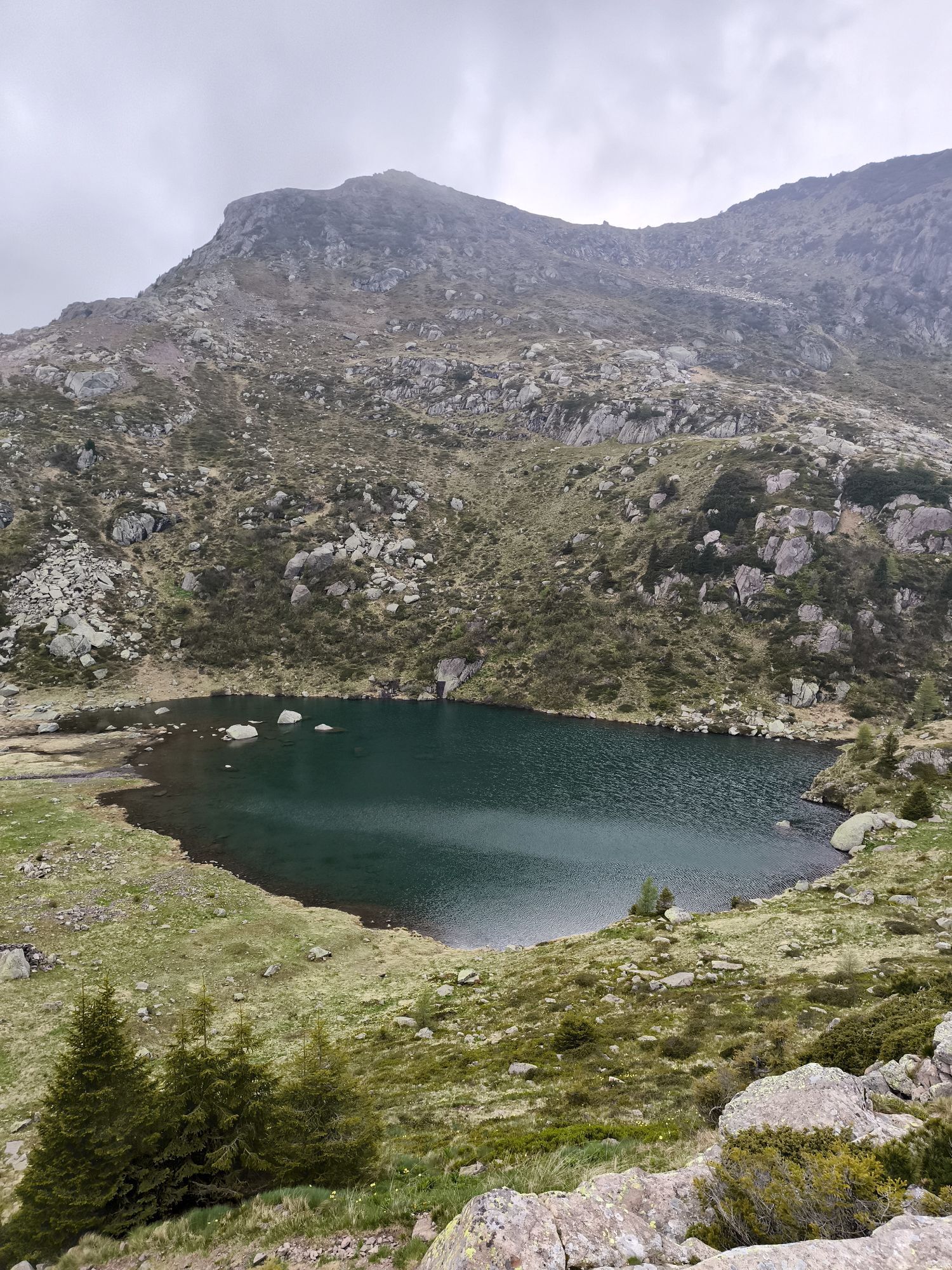
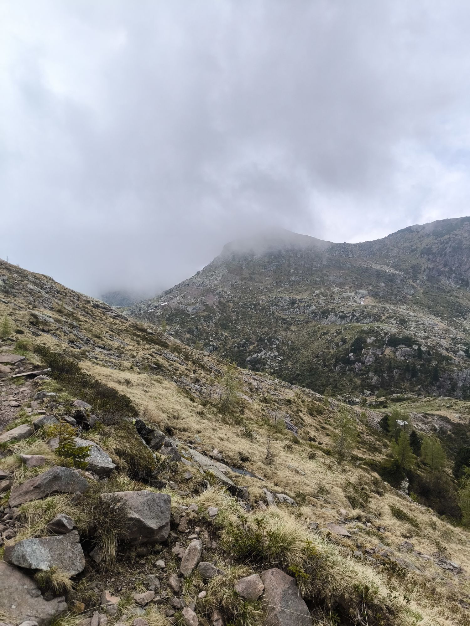
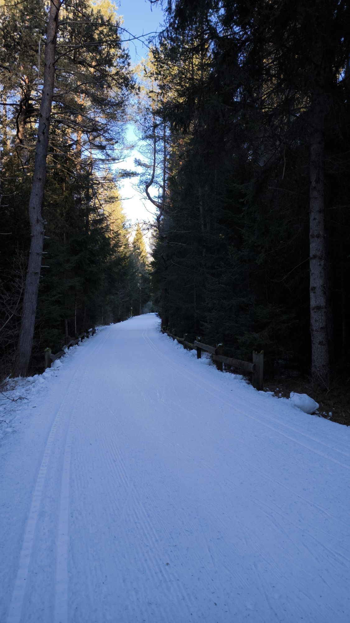
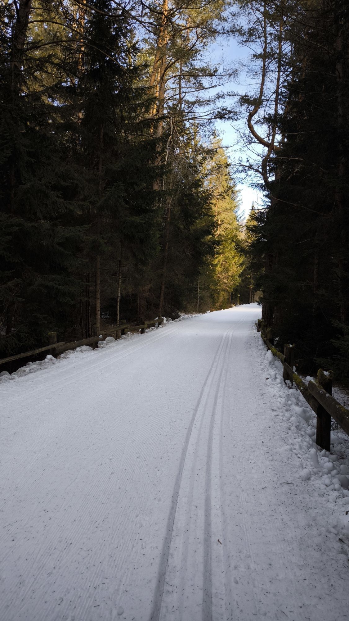

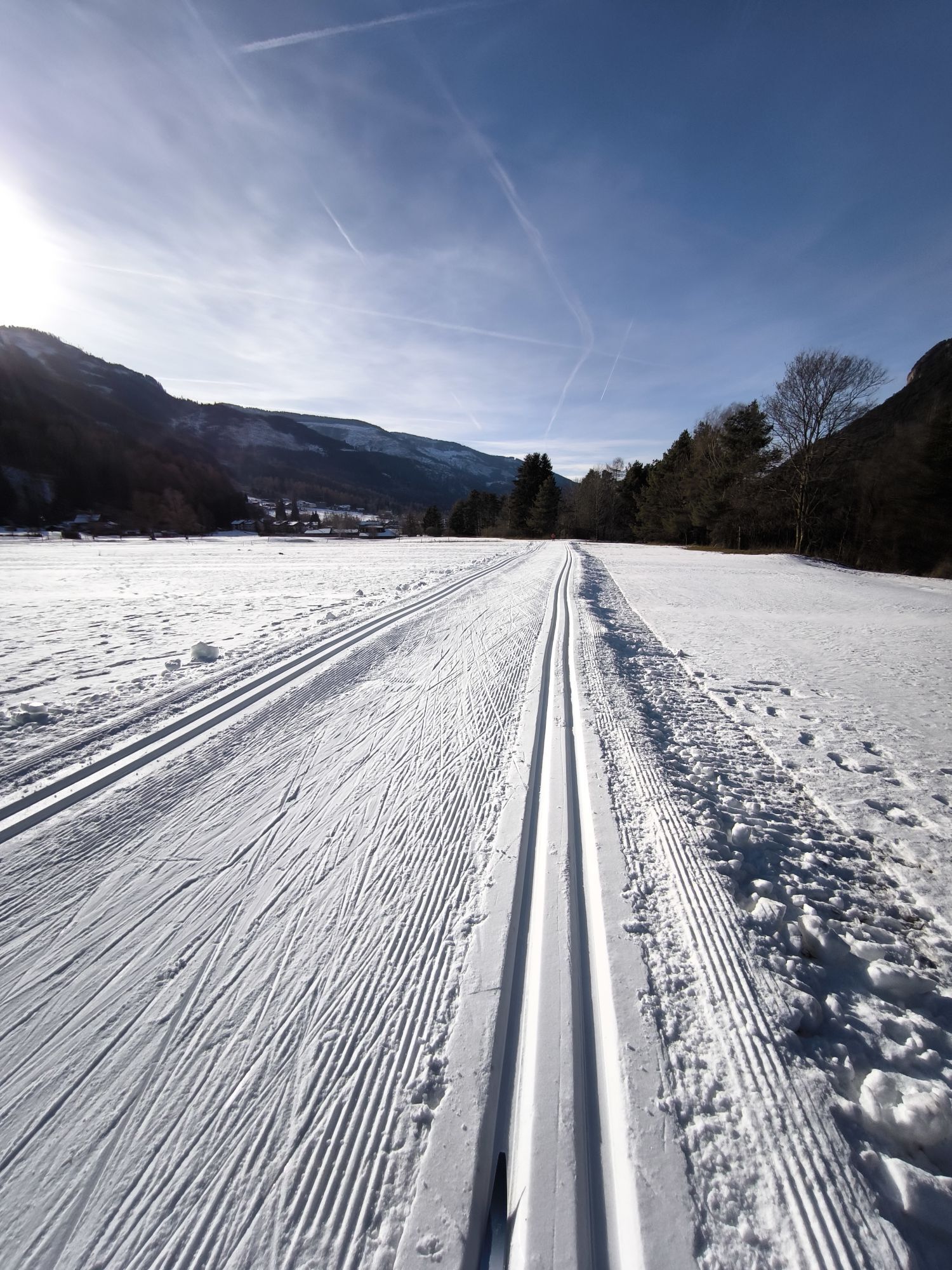
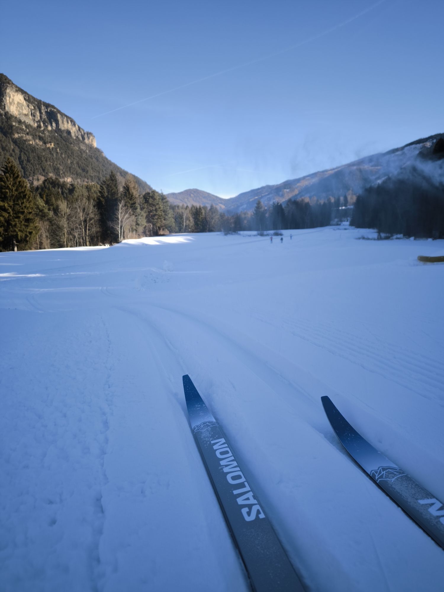

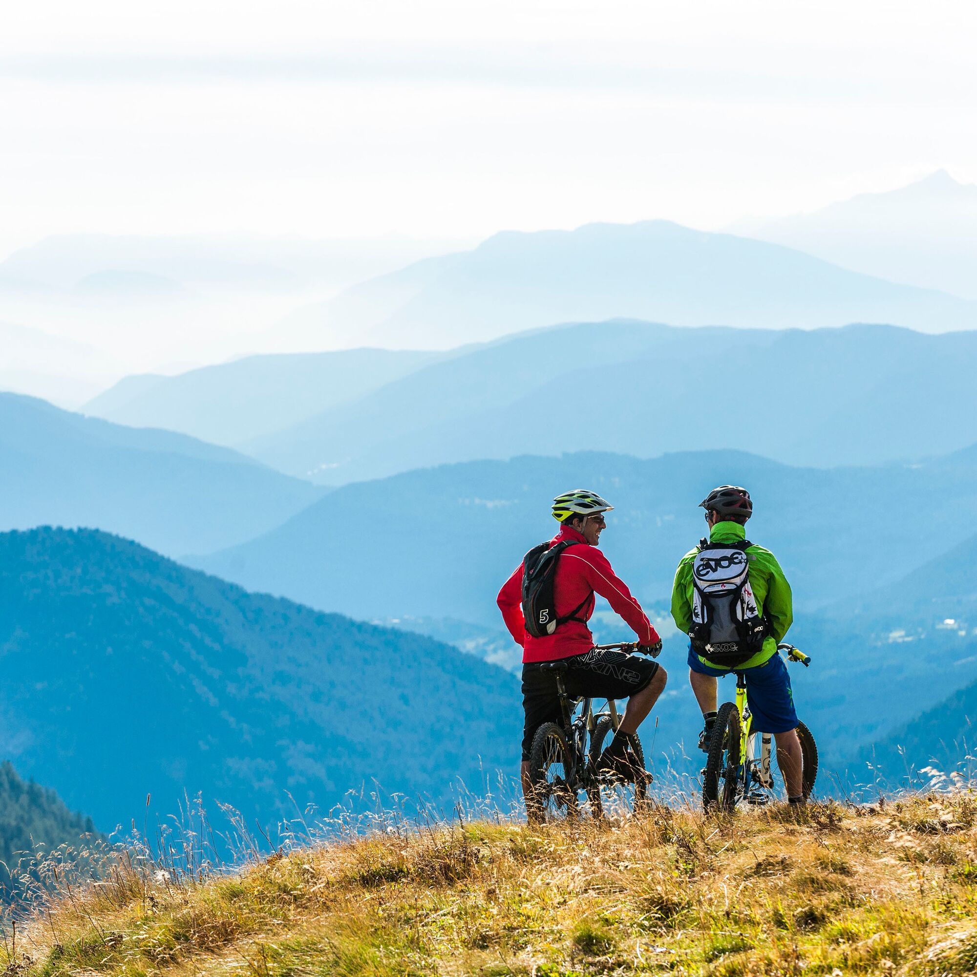
The itinerary takes you to completely different scenarios in a few kilometers: from the top of Passo Feudo, at the foot of the Unesco Dolomites of Latemar, to the green and relaxing meadows of Guagiola....
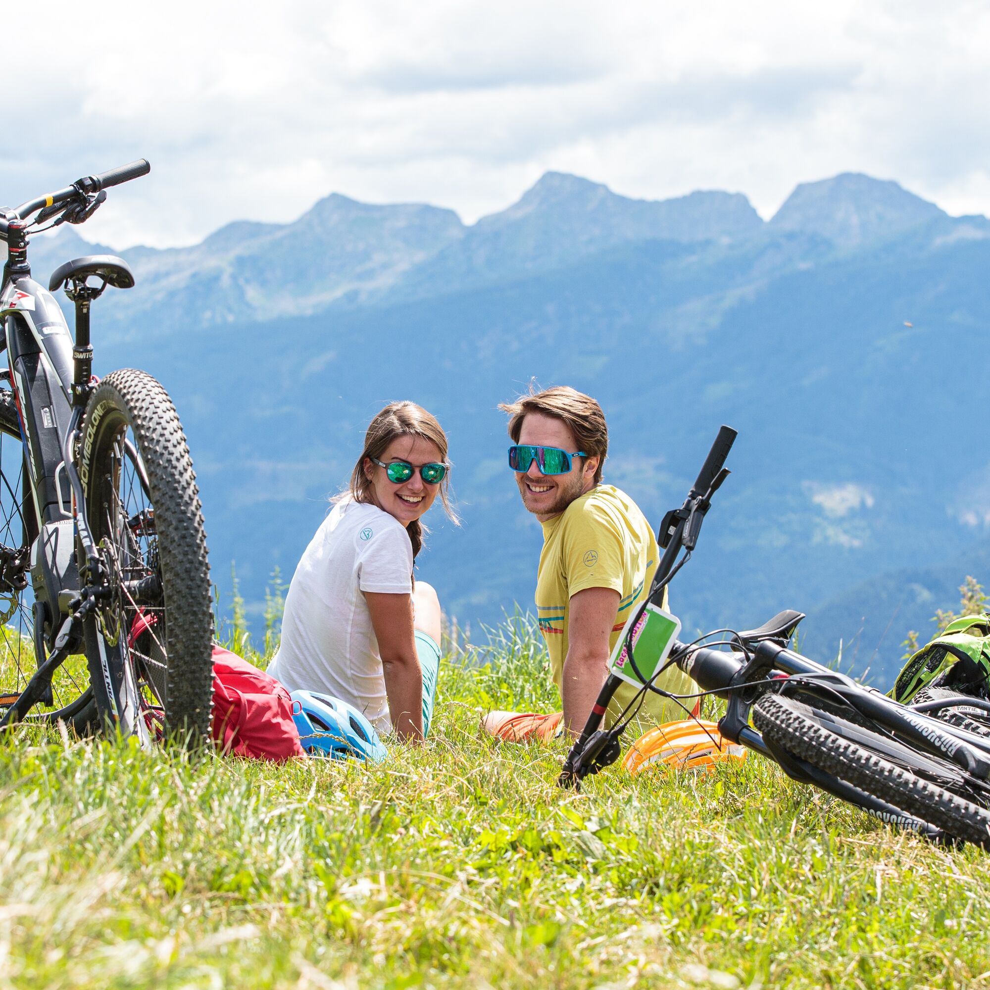
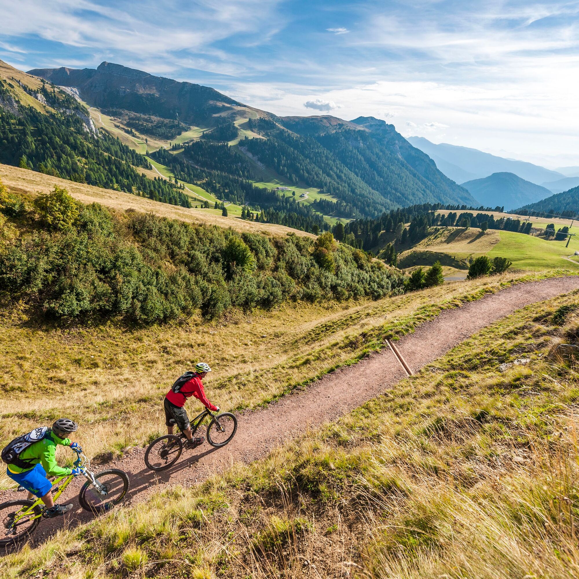
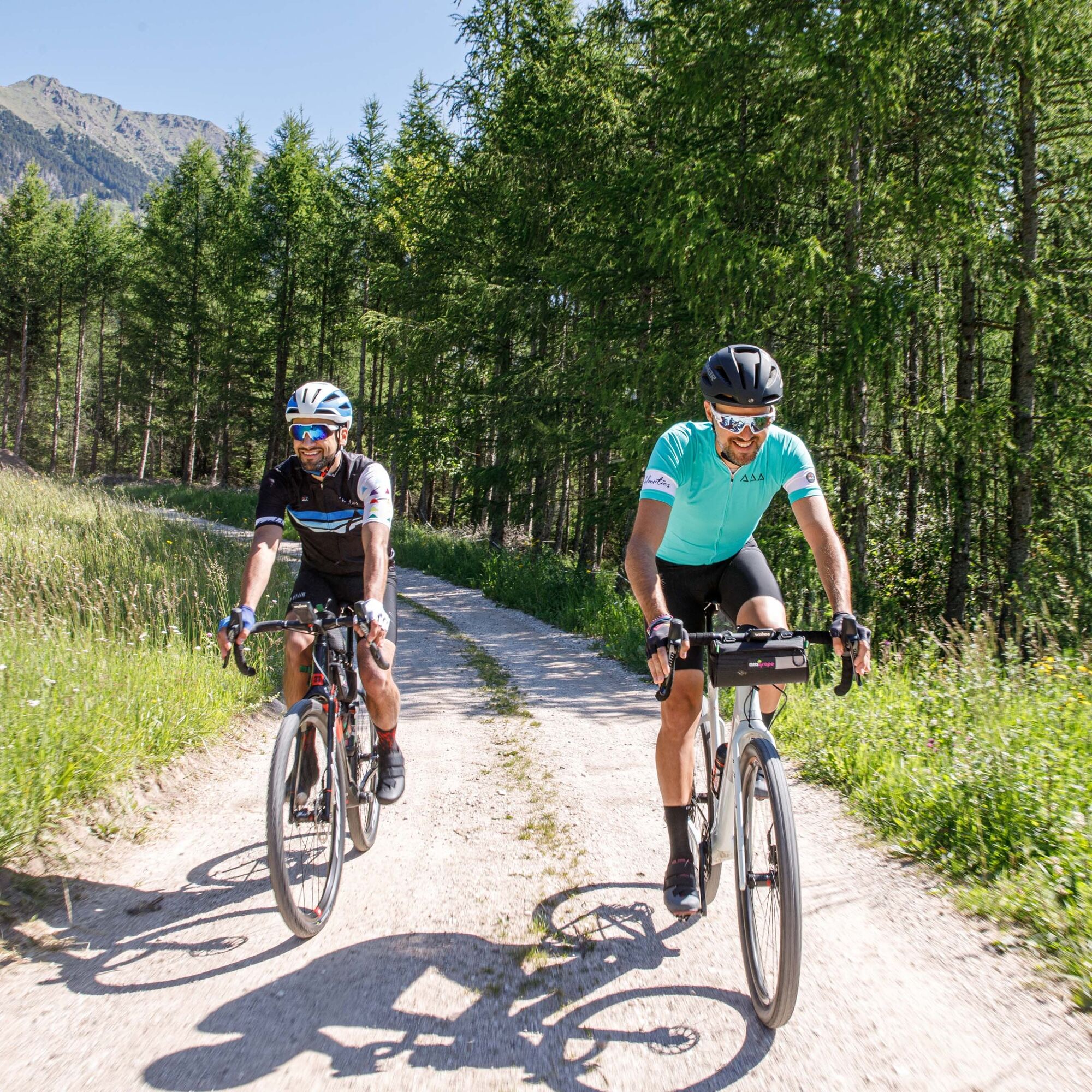
The itinerary takes you to completely different scenarios in a few kilometers: from the top of Passo Feudo, at the foot of the Unesco Dolomites of Latemar, to the green and relaxing meadows of Guagiola. Here you find yourself immersed in the pastures close to the forest, along quiet and uncrowded dirt roads. The paths that branch off over the villages of Tesero and Le Ville - Varena allow you to move easily from village to village and finally return to Cavalese and then to Predazzo.

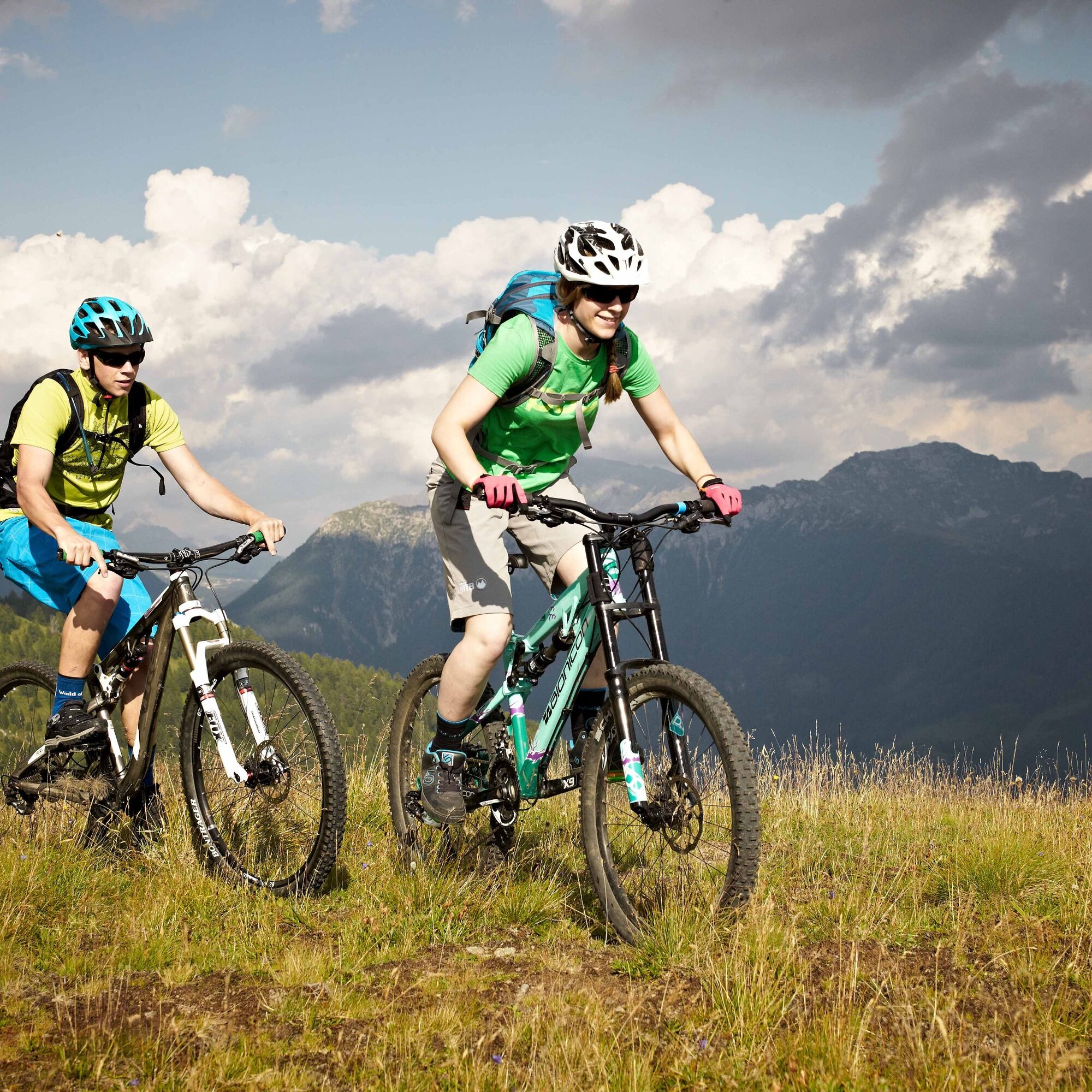
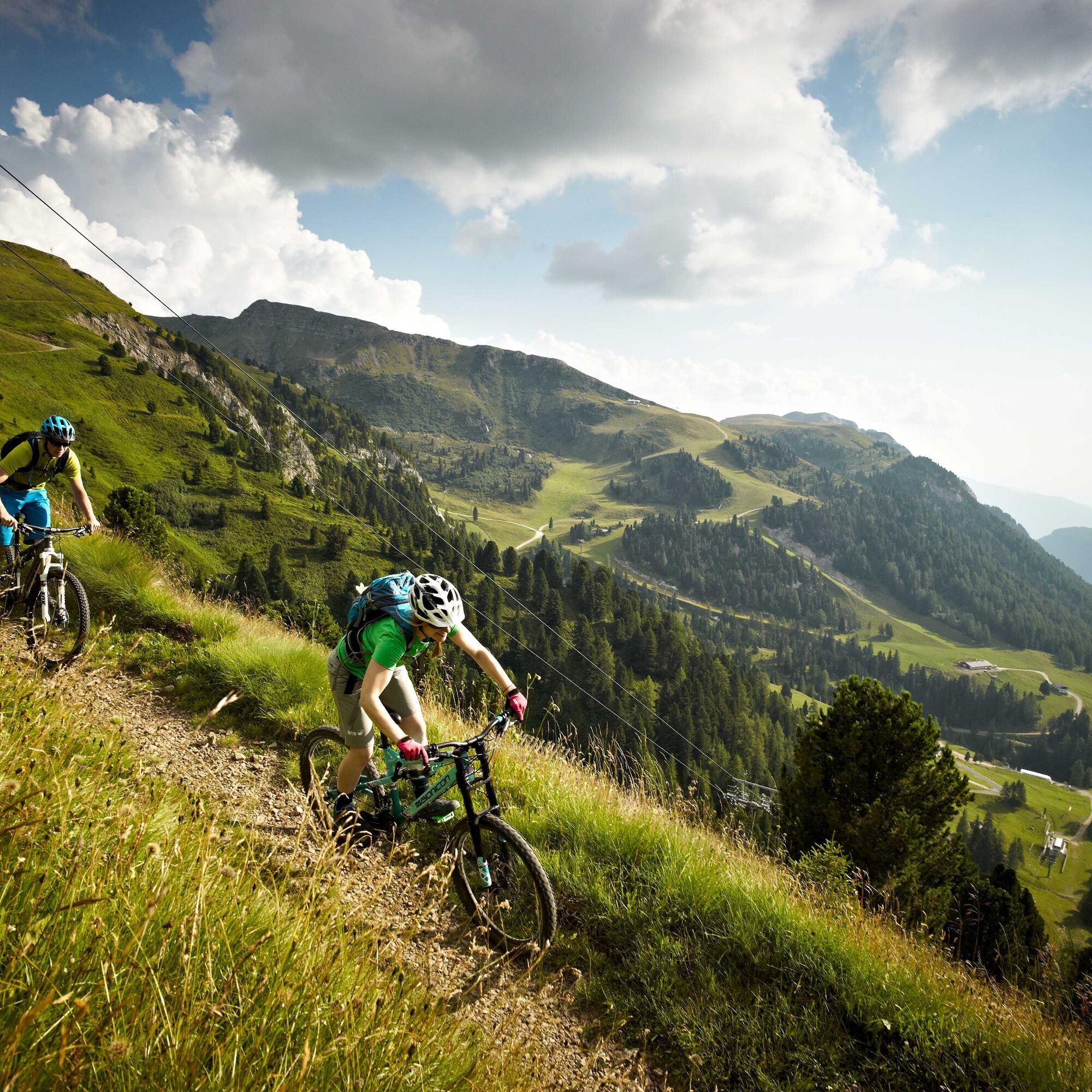

Starting in Predazzo, reach the Feudo pass with the Latemar 2200 lifts (open from Mid-June to Mid-September).
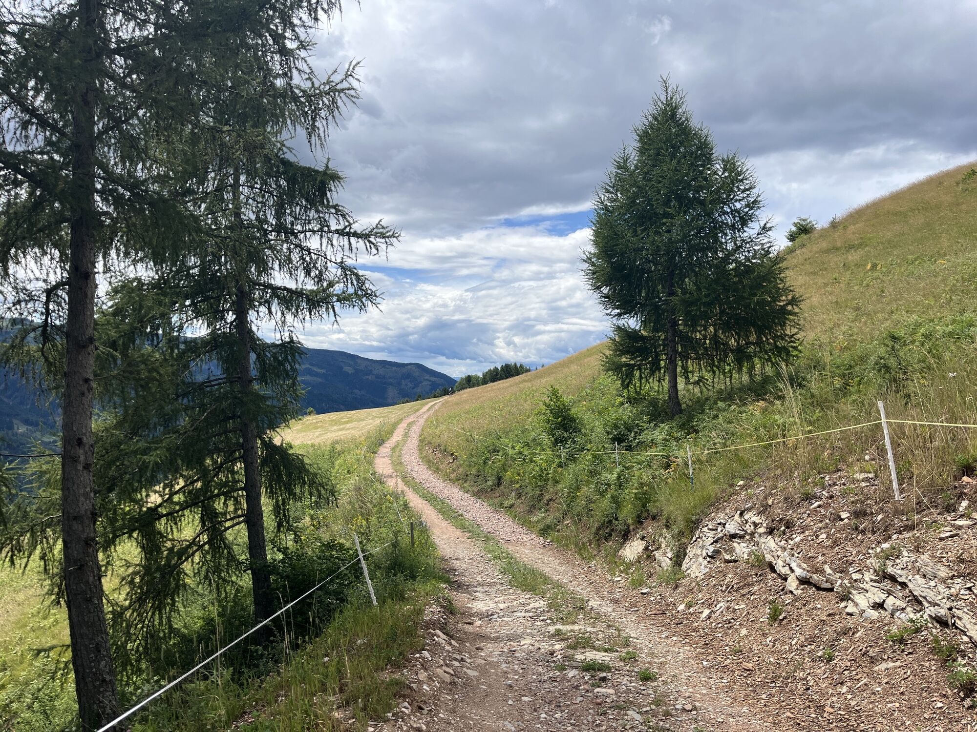
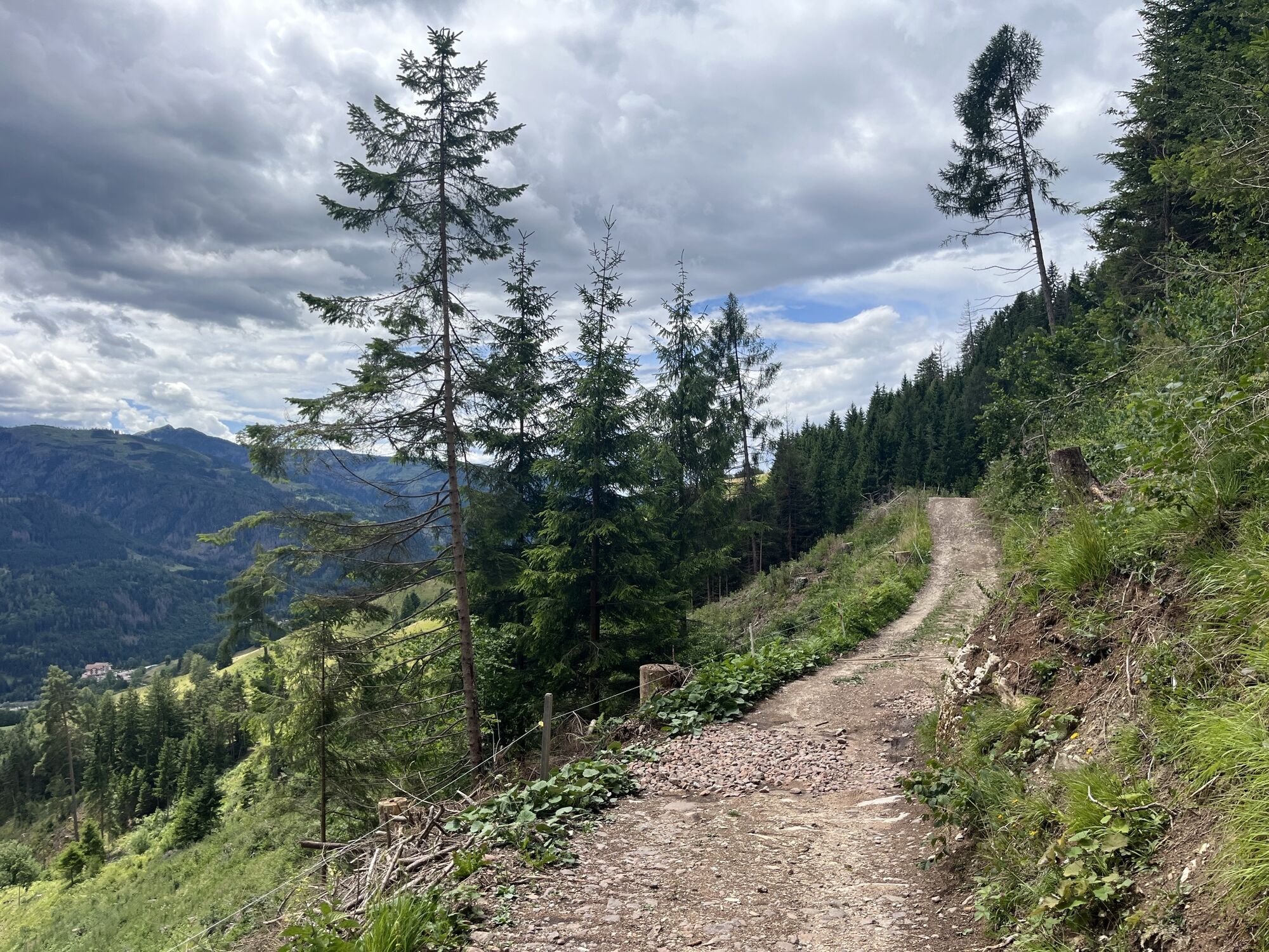
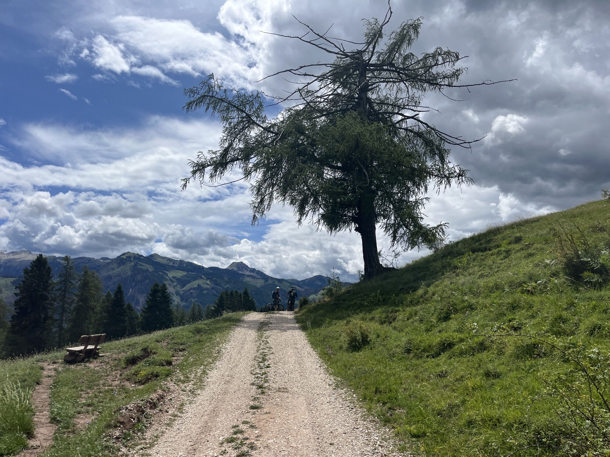
From here, an exciting descent, alternating paved and unpaved terrains, heads to Stava. Keep riding on an up-and-down dirt road to a clearing with an amazing view on the Lagorai mountain chain, to the town limits of Varena.
The trail descends softly towards Cavalese first and Masi di Cavalese then, where the cycle route takes you back to the starting point.
Transport of bicycles on cablecar + chairlift € 6,00.
Da
What do I need to bring on my bike tour?
An adequate water supply according to your needs (considering temperature, possibility of refuelling and duration of the route) Plenty of snacks (for example, dried fruit or energy bars) Waterproof / Windproof jacket. A spare top / spare socks. (Descending in a sweaty garment, will make you cold) Suncream Sunglasses Bike gloves/mitts Map or GPS device Bike repair kit for punctures and mechanical breakdowns First aid kitIt is always advised to let someone know where you plan to go and how long you expect to be.
Emergency telephone number 112
IMPORTANT
Along all routes, always pay attention to other people and vehicles coming from both directions. MTB routes are not for bikers only.
After windstorm Vaia in October 2018, forest roads are used also by heavy vehicles to transport wood.
When riding on streets, bikers have to respect the traffic code just like drivers.
BIKER’S CODE OF RESPONSIBILITY
Plan your ride Share the trail with other users Yield right of way to hikers Let your speed be determined by your experience Ride slowly on crowded trails, overtake with politeness and respect Cycle only on authorized and open trails Avoid muddy trails in order not to damage them further Respect nature, plants, animals and the trail Do not frighten animals Take your rubbish home with you Respect public and private property Always be selfsufficient Do not cycle solo in remote areas Take back home only good picsALWAYS WEAR YOUR HELMET !
Please note that the practicability of the itineraries in a mountain environment is strictly linked to the contingent conditions and it is therefore influenced by natural phenomena, environmental changes and weather conditions. For this reason, the information contained in this page may have changed. Before leaving for a tour, make sure the path you will approach is still accessible by contacting the owner of the mountain hut, the alpine guides or the visitor centres of the nature parks, the info offices of the local tourist board.
You can reach Predazzo on the ss n° 48 of the Dolomites road.
Predazzo can be reached by Trentino Trasporti public buses from all the villages of Val di Fiemme.
In the center of Predazzo there are several parking lots.
APT Val di Fiemme - Tel. +39 0462 241111 - info@visitfiemme.it - www.visitfiemme.it
Latemar MontagnAnimata - Tel. +39 0462 884400 - info@montagnanimata.it - www.montagnanimata.it
The route is only 33.5 km long because the length of the lifts is not calculated.

Spletne kamere s turneje

Priljubljeni izleti v okolici
-
4.9
Torre di Pisa mountain hut
srednjaPohodništvo 9.09 km -
4.7
Malga Cislon
srednjaPohodništvo 9.37 km -
5.0
Latemar Umrundung - die Kurze und Bequeme
srednjaPohodništvo 12.1 km -
4.9
Latemar.Panorama
svetlobaTematska pot 7.83 km -
4.8
Tour of Monte Cornon
srednjaPohodništvo 7.65 km -
4.8
Weißhorn
srednjaPohodništvo 6.64 km -
4.8
Latemar Panorama
srednjaPohodništvo 11.7 km -
4.2
The three lakes
srednjaPohodništvo 11.1 km -
2.8
Wanderung zur Latemarhütte
srednjaPohodništvo 7 km -
4.7
The infinite views from Oclini Pass
svetlobaZimsko pohodništvo 4.91 km
Pohodništvo in sledenje


Ne zamudite ponudb in navdiha za naslednje počitnice
Vaš e-poštni naslov je bil dodan na poštni seznam.





