





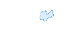

Shortcut Arco

Stopnja težavnosti: ●

Signage: 731a. Shortcut Arco.
This cuts the distance down to 32.6 km and still provides an absolutely wonderful day out.

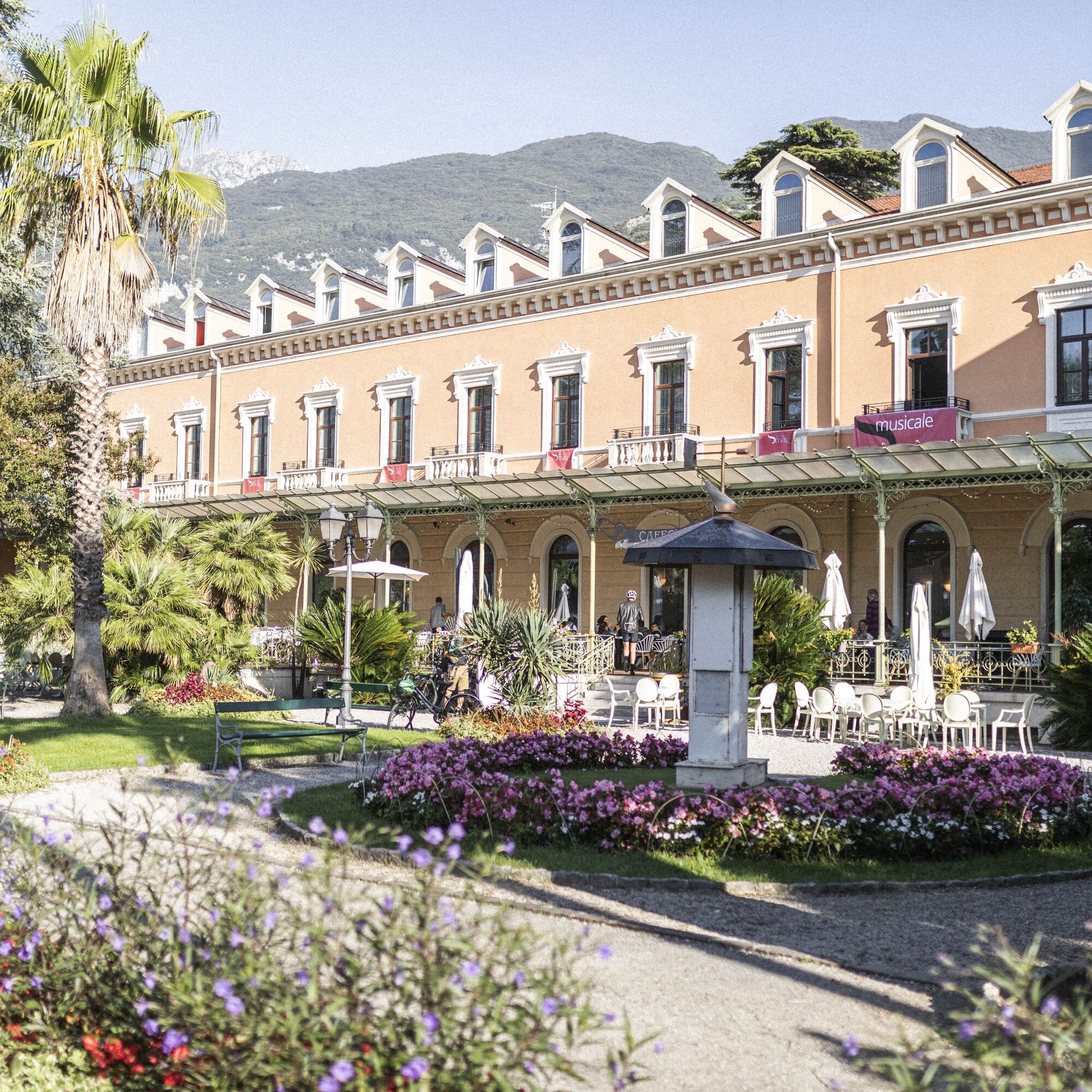
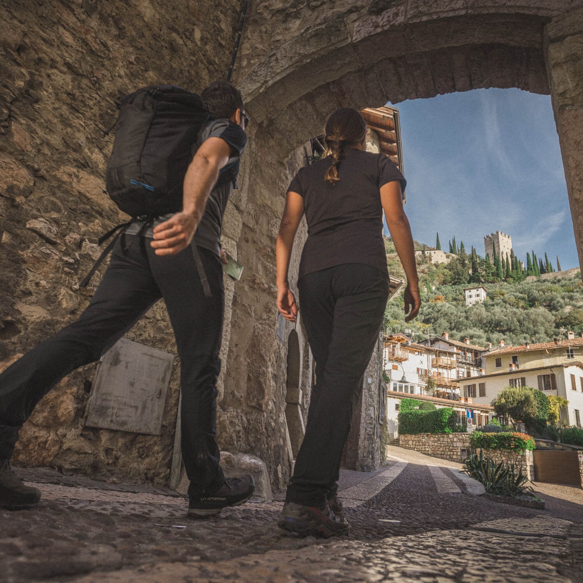
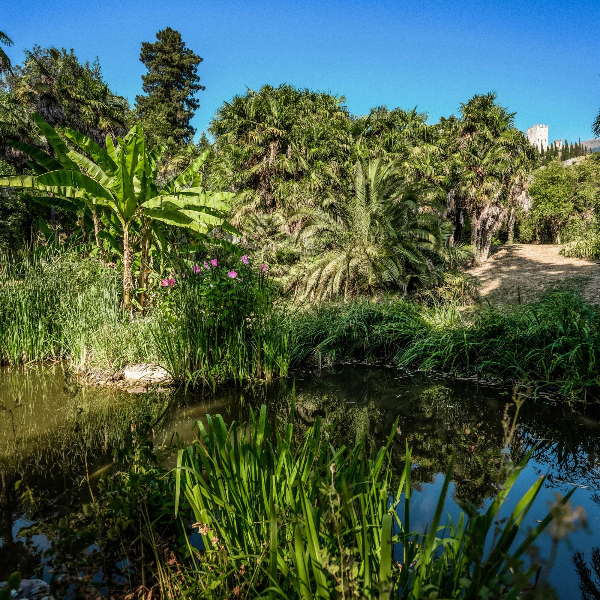
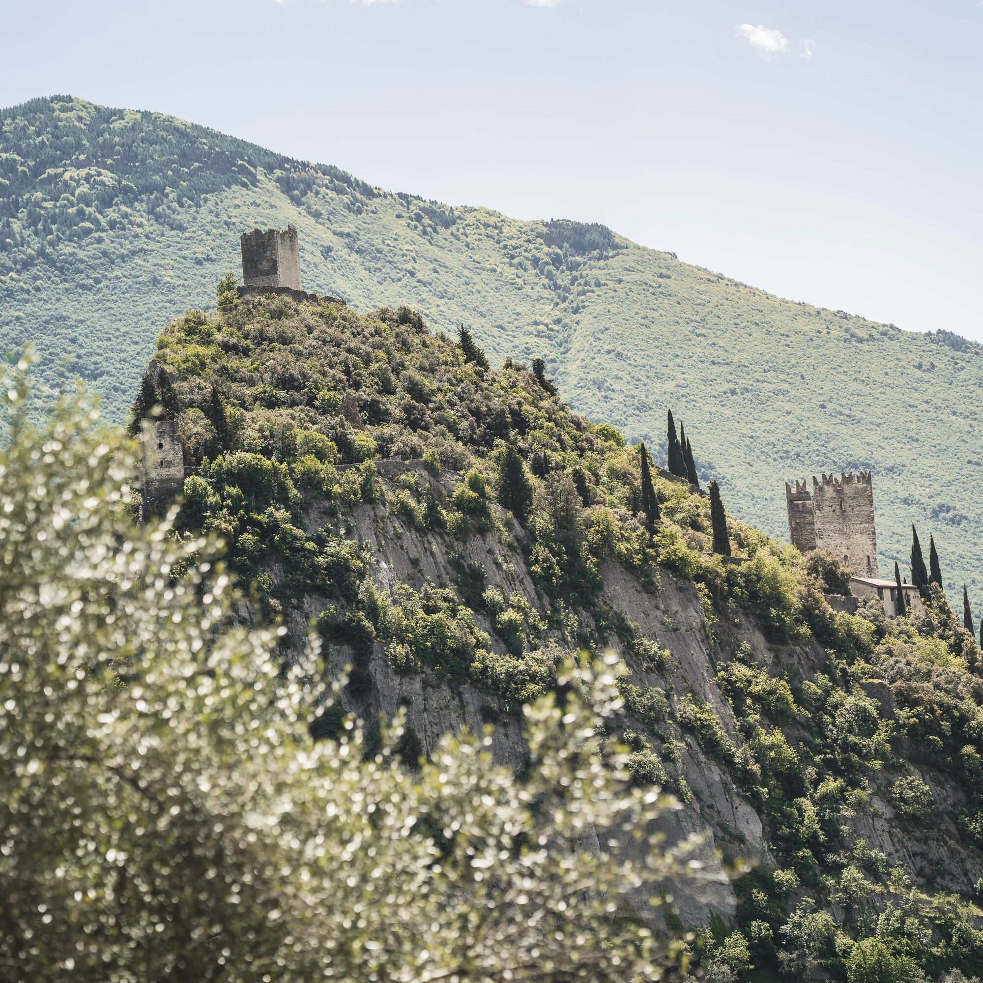
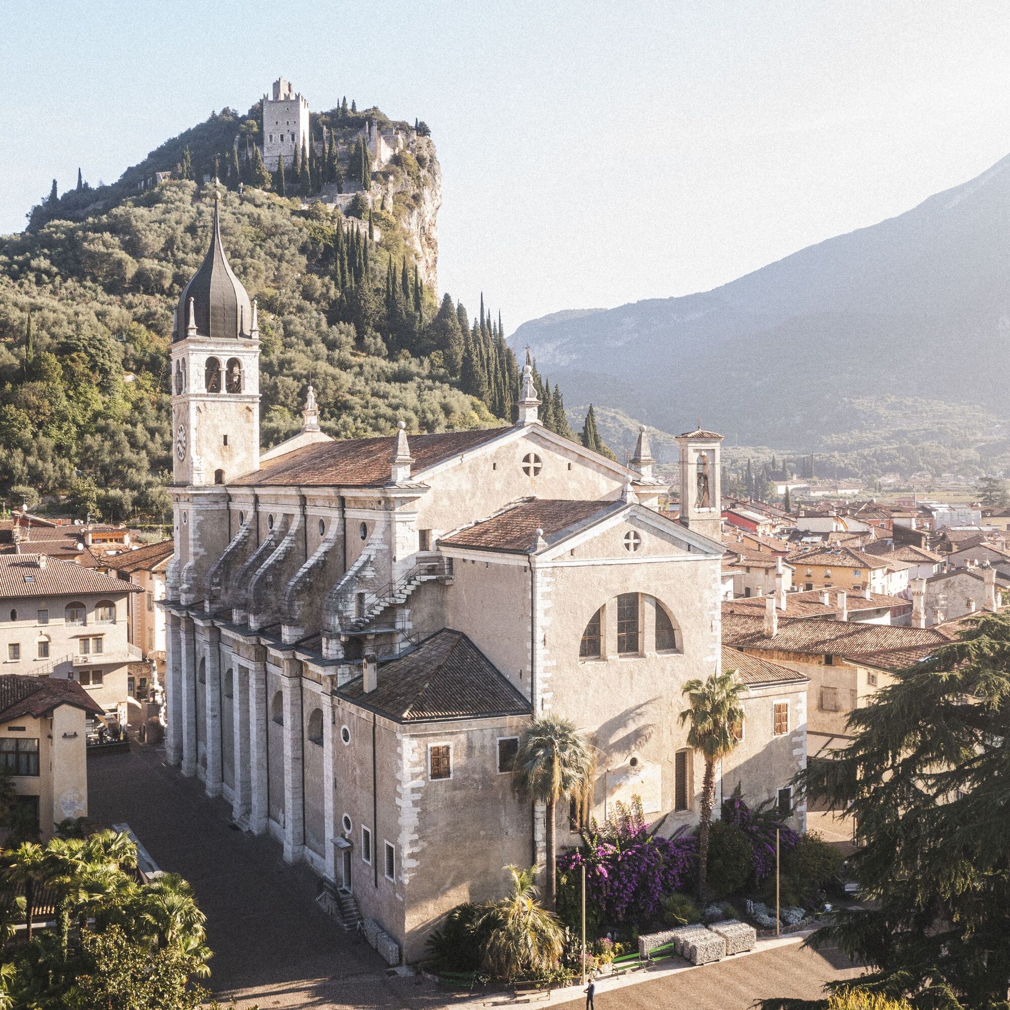
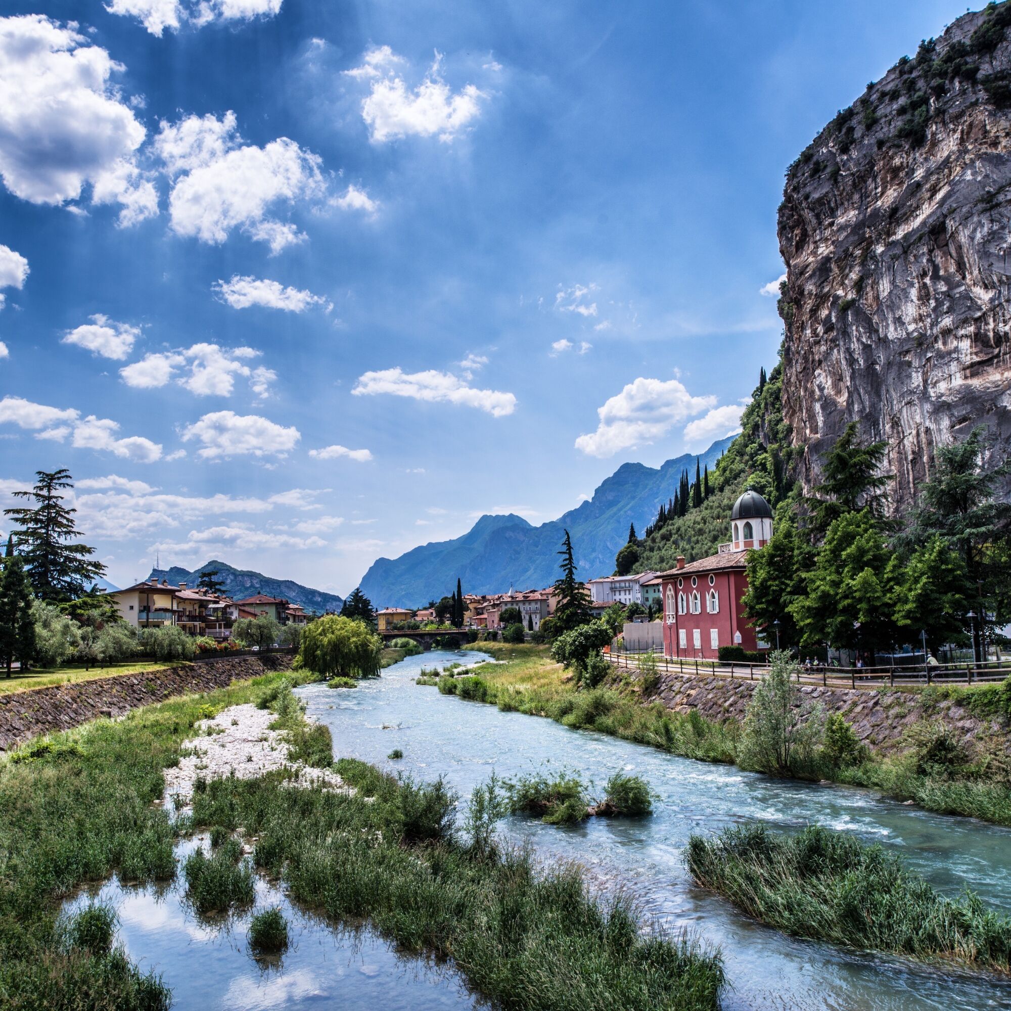

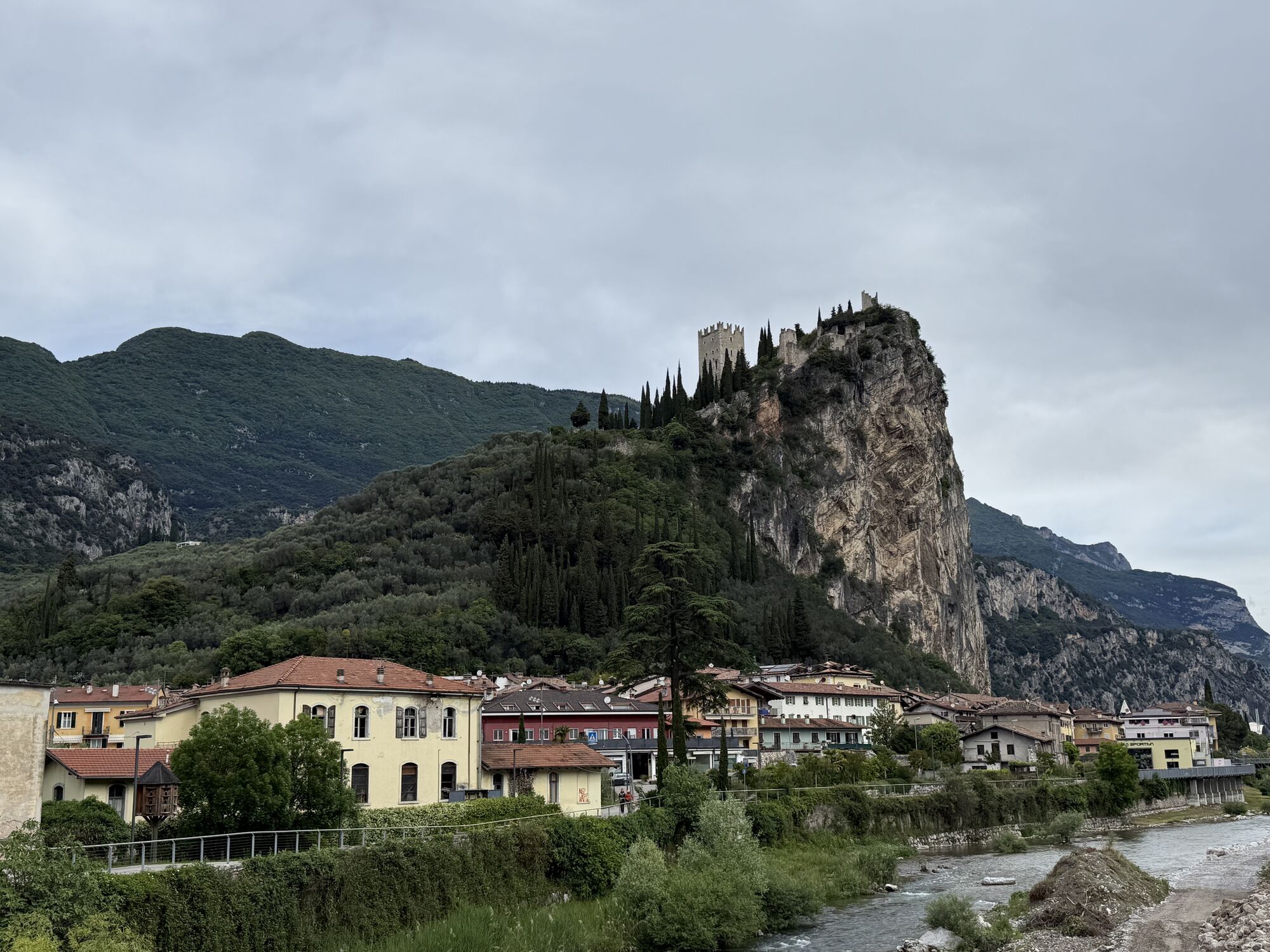
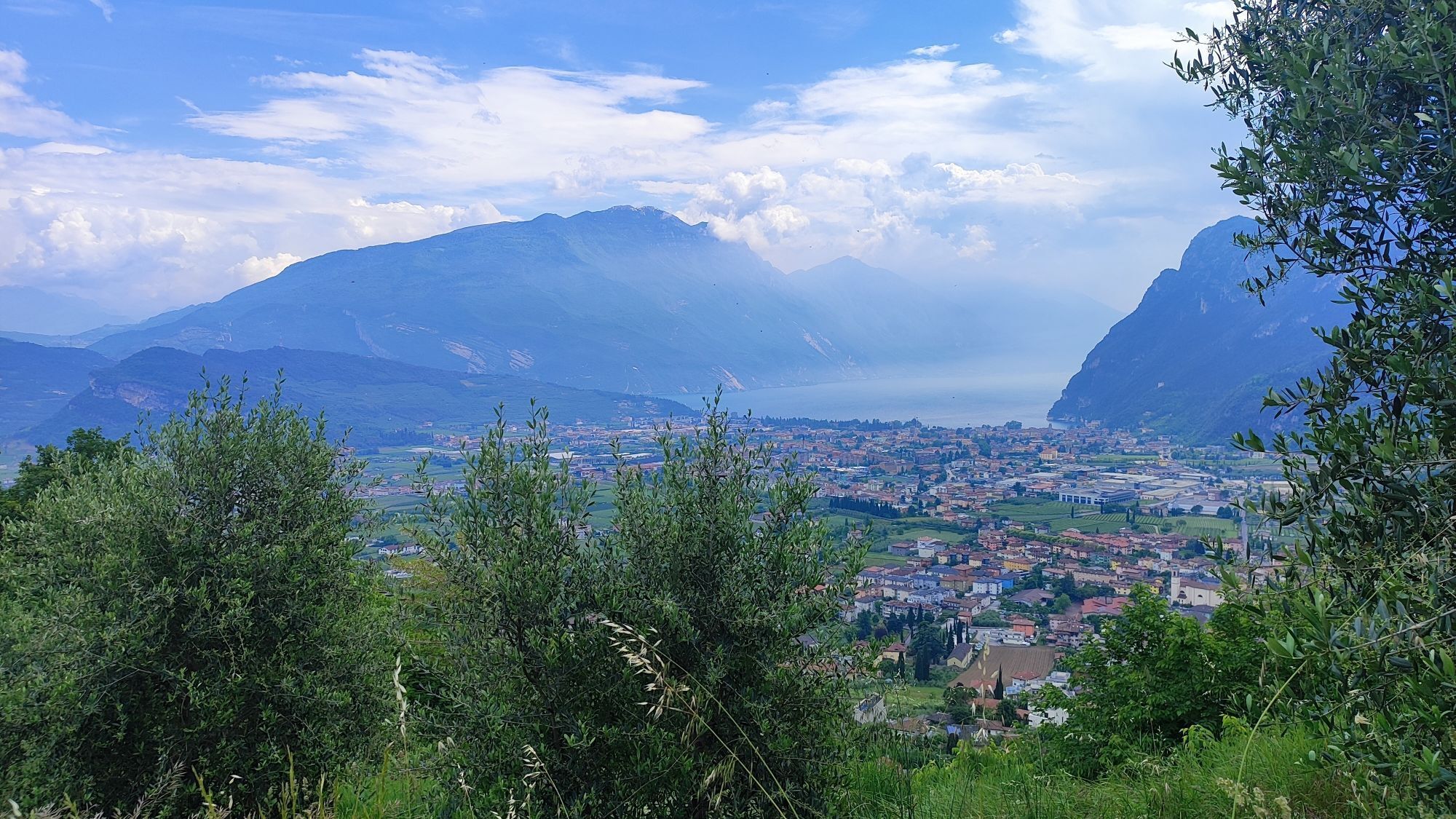
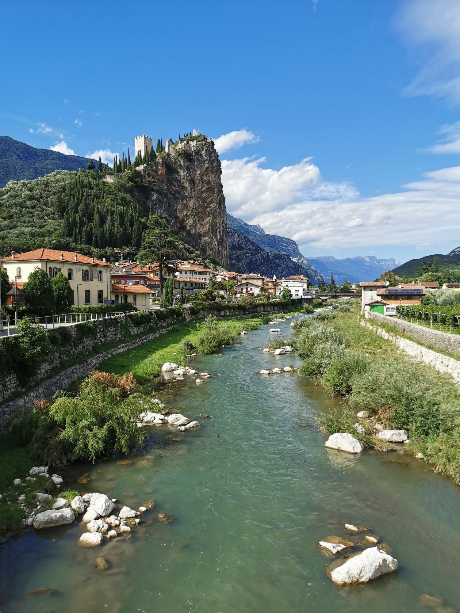
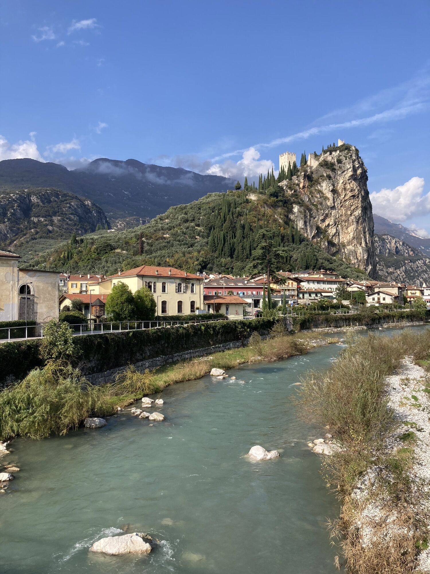
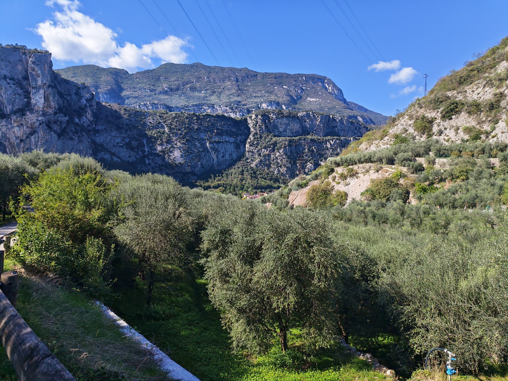
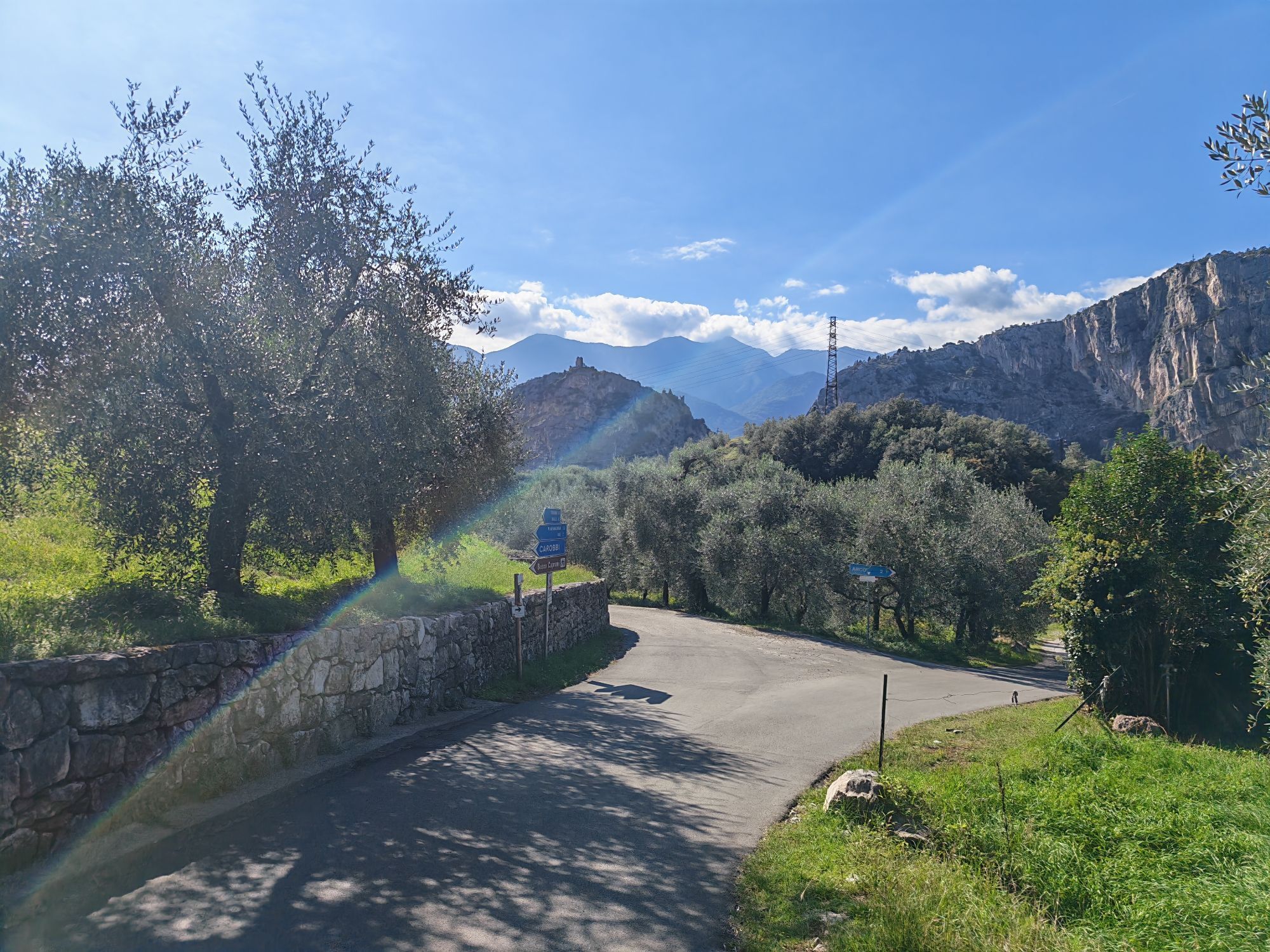
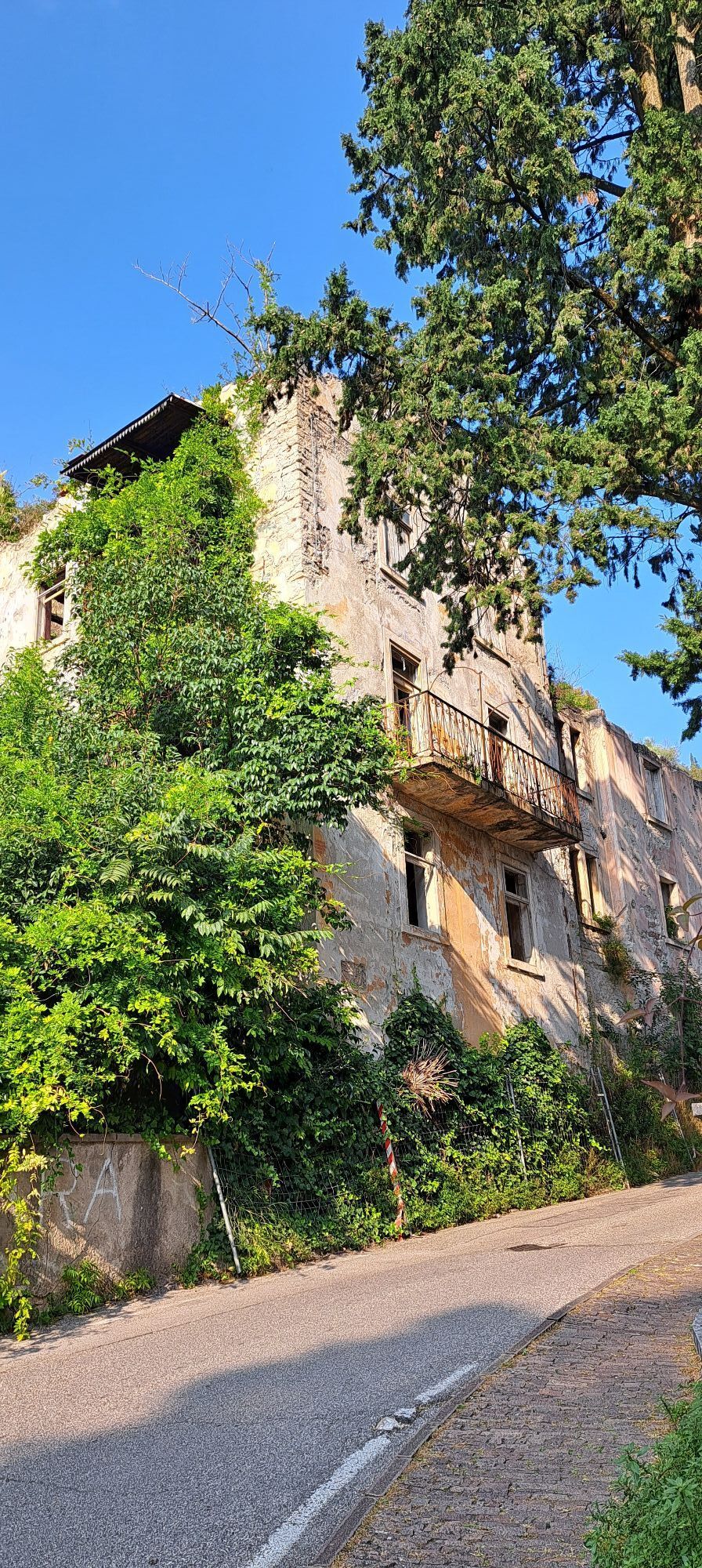
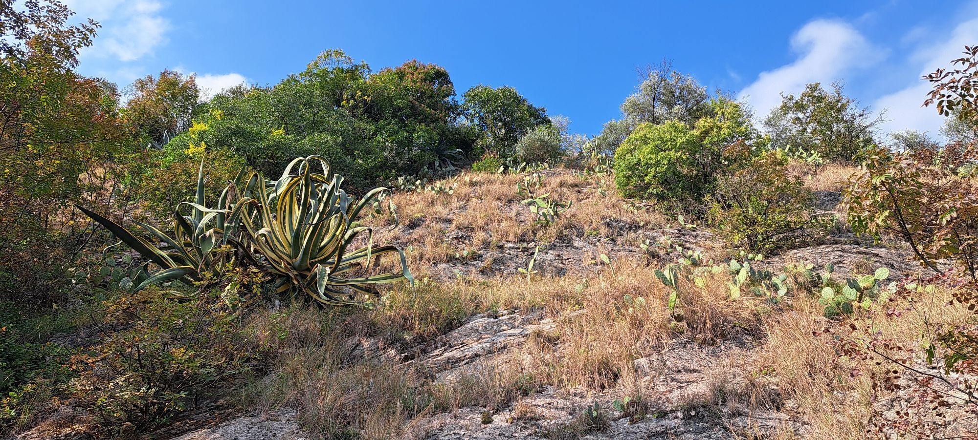
Coming from the olive groves to the west of Arco we reach the medieval town gate of Stranfora and we turn right into Via Fossa Grande, then we continue along Via Porta Scaria. Once we are in sight of the statue of Archduke Albrecht, we turn right into Viale delle Magnolie and head for the centre of Arco, marked by the imposing view of the Collegiata, the main church. We leave the church behind on our left and take Via San Pietro. To the left of the Villa Regina clinic we turn into the cycling path and start going north along the river. We ride past the town centre and head for Prabi, always with the river Sarca on our right side. After the climbing stadium we cross the river and the roundabout we cross the main road as well. We turn into the tree lined street leading to the convent, but we almost immediately leave it to turn left into Via Sai. After 100 m we again turn, this time right, to take Via Angelo Maino, which leads to the hamlet of San Martino, where we rejoin the Anello Garda Sarca.
Da
Riding your bike requires specific clothing and equipment, even for relatively short and easy trips. It is always better to be prepared… e.g. for bad weather or a sudden drop in your energy levels. The unexpected things are part of the fun!
Remember to thoroughly evaluate the type of route you plan on doing, the locations you intend to cross and the current season. Has it been raining? Attention: The paths may be slippery and require more caution.
What do I need to bring on my bike tour?
An adequate water supply according to your needs (considering temperature, possibility of refuelling and duration of the route) Plenty of snacks (for example, dried fruit or energy bars) Waterproof / Windproof jacket A spare top / spare socks (Descending in a sweaty garment, will make you cold). Suncream Sunglasses Bike gloves/mitts Map or GPS device Bike lights: best placed on your helmet or handlebars. (It is always best to be prepared) Bike repair kit for punctures and mechanical breakdowns First aid kit Emergency whistleIt is always advised to let someone know where you plan to go and how long you expect to be.
Emergency telephone number 112.
ITRS - International Trail Rating System
The ITRS is an objective way to assess trails and routes from a biker’s perspective, evaluating four aspects:
Technical Difficulty: riding skill level needed Endurance: combined effect of length, uphill and downhill Wilderness: amount of planning required based on mobile phone reception, rescue options, water supply and wildlife Exposure: consequences of a fallDiscover more about the ITRS system and check the classification of this tour in the photo gallery.
Safety Tips
Always wear your helmet. Plan your ride. You share the trail with other users. Yield right of way to hikers. Let your speed be determined by your experience. Ride slowly on crowded trails, overtake with politeness and respect. Cycle only on authorized and open trails. Avoid muddy trails in order not to damage them further. Respect public and private property. Always be self-sufficient. Do not cycle solo in remote areas.This information is subject to inevitable variations, so none of these indications are absolute. It is not entirely possible to avoid giving inexact or imprecise information, given how quickly environmental and weather conditions can change. For this reason, we decline any responsibility for changes which the user may encounter. In any case, it is advisable to check environment and weather conditions before setting out.
Find out how to reach Garda Trentino.
The main towns in Garda Trentino - Riva del Garda, Arco, Torbole sul Garda, Nago – are connected by several urban and intercity bus lines which will take you to the starting point of tours or in the immediate surroundings.
You can also get to Riva del Garda and Torbole sul Garda by the public ferry service.
Parking at the starting point of the 731. Anello Garda Sarca.
●
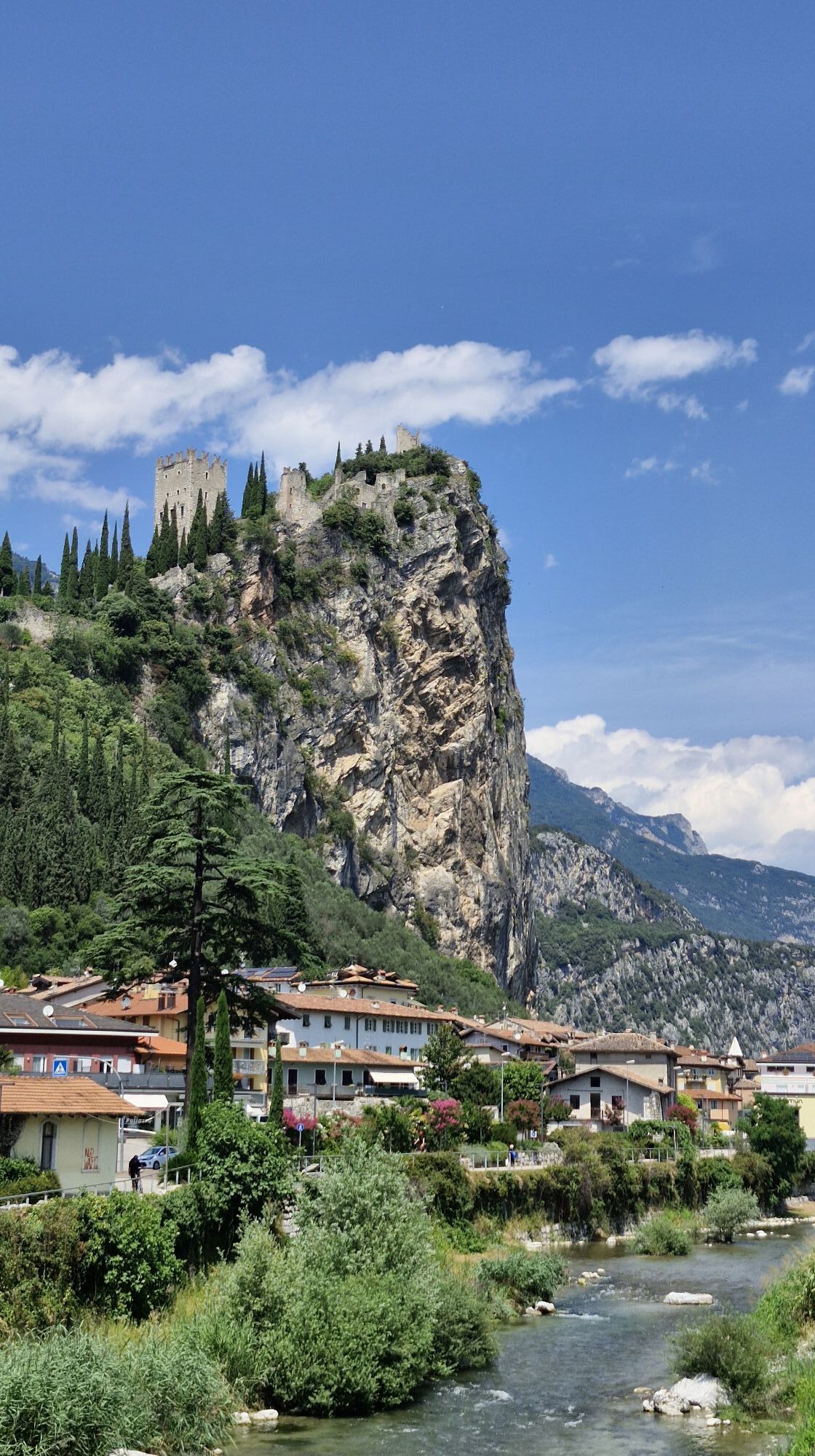
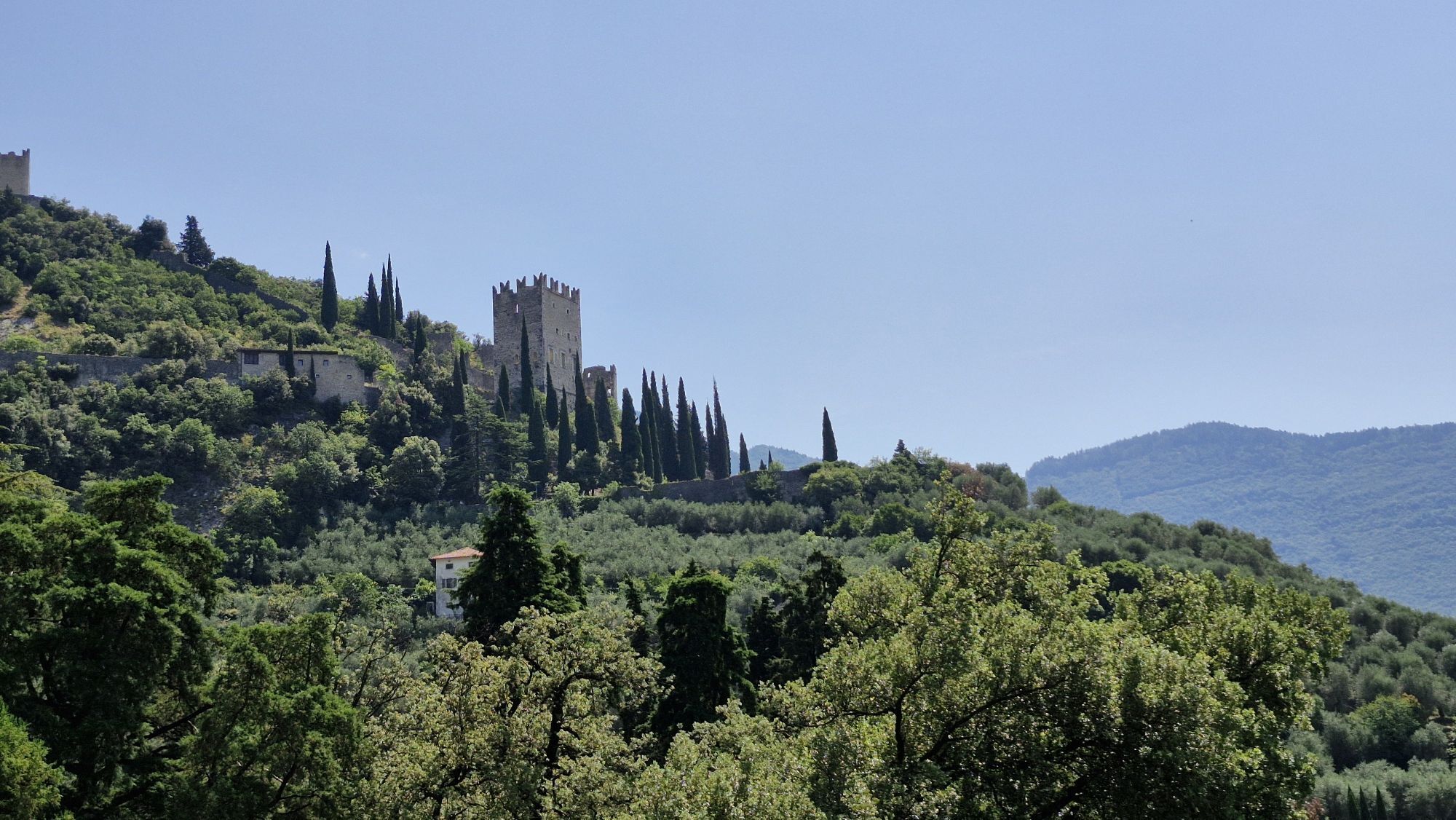
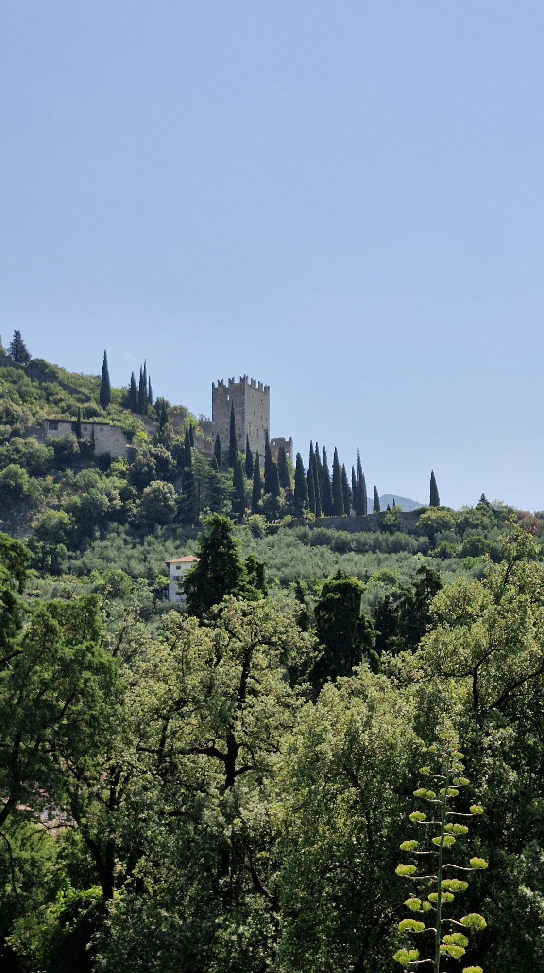
Arco is a town with many facets: the medieval district of Stranfora clings to the castle rock, side by side with the gardens and stylish building of the Habsburg Kurort and the Mediterranean like landscape of the olive groves.

Priljubljeni izleti v okolici
-
5.0
Via Ferrata Signora delle Acque - Rio Ruzza
težkoVia ferrata 5.32 km -
5.0
Bastione and Santa Barbara, the lords of Riva del Garda
srednjaPohodništvo 2.94 km -
4.9
Via Ferrata dell’Amicizia - Cima SAT
srednjaVia ferrata 4.41 km -
4.8
Bocca Fortini - Tour
težkoMountainbike 35.4 km -
4.8
Via Ferrata Rio Sallagoni
srednjaVia ferrata 2.75 km -
4.8
Sentiero Busatte Tempesta
svetlobaPohodništvo 7.90 km -
4.8
Via Ferrata Fausto Susatti - Cima Capi (from Ledro)
srednjaVia ferrata 7.11 km -
4.6
Via Ferrata delle Laste e Gallerie di Cima Rocca
svetlobaVia ferrata 6.38 km -
4.6
Walking around Lake Ledro
svetlobaPohodništvo 9.40 km -
4.8
Ponale Path (from Ledro)
srednjaPohodništvo 10.8 km
Pohodništvo in sledenje


Ne zamudite ponudb in navdiha za naslednje počitnice
Vaš e-poštni naslov je bil dodan na poštni seznam.





