





Variante Dos de Preghent - Trail
Signage. 732a. Variante Dos de Preghent - Trail
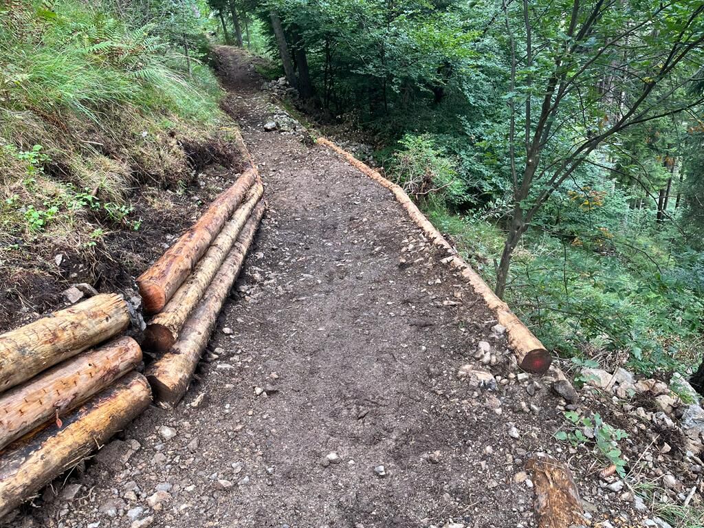
The descent, though much easier than the one via Malga Grassi, is quite steep and requires a little attention in some places.
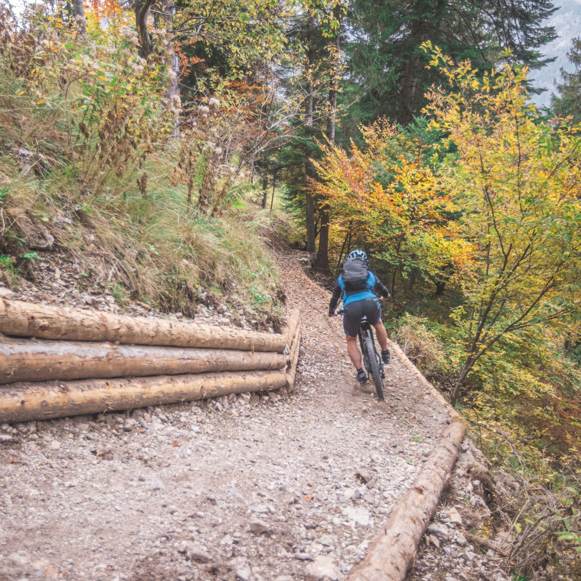
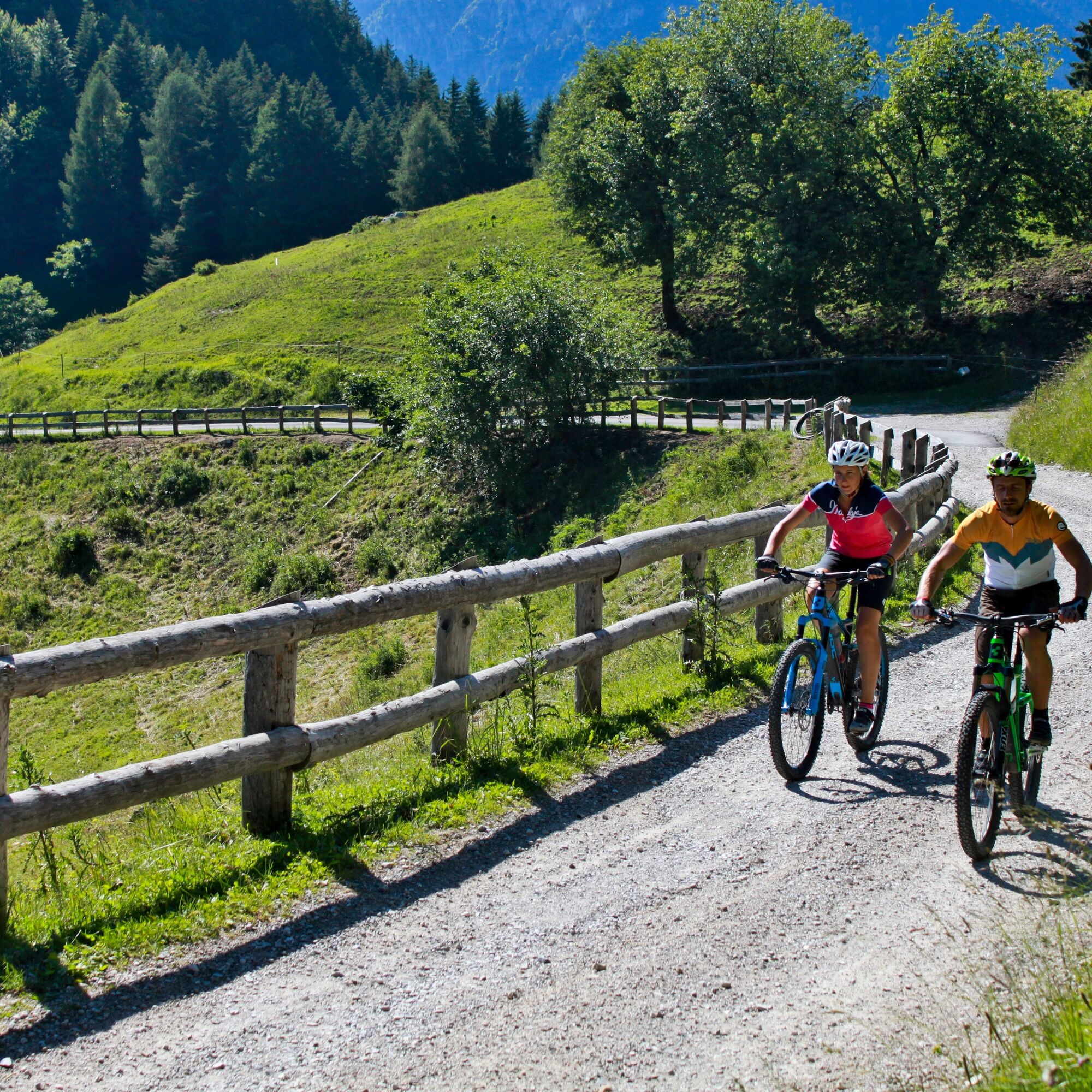
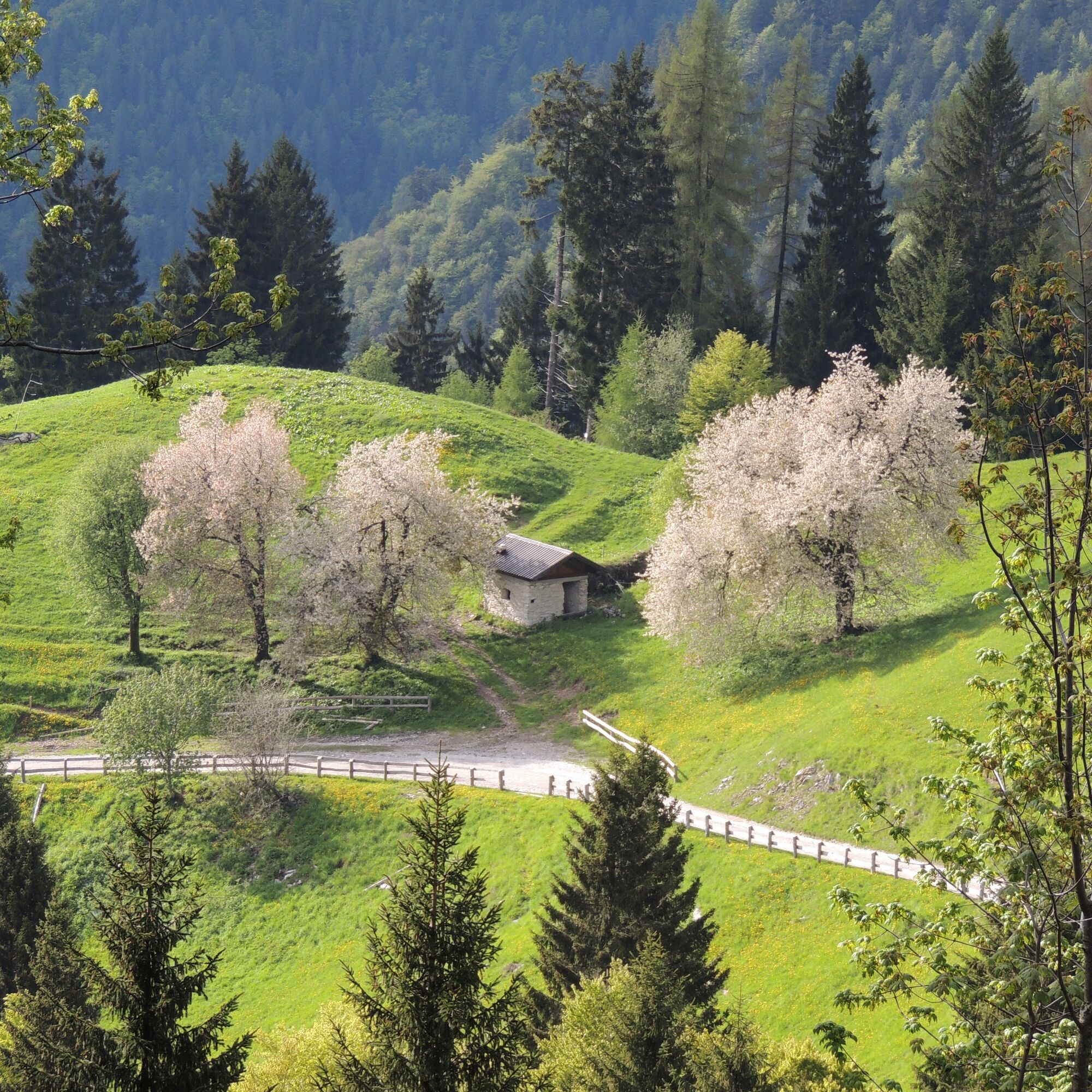
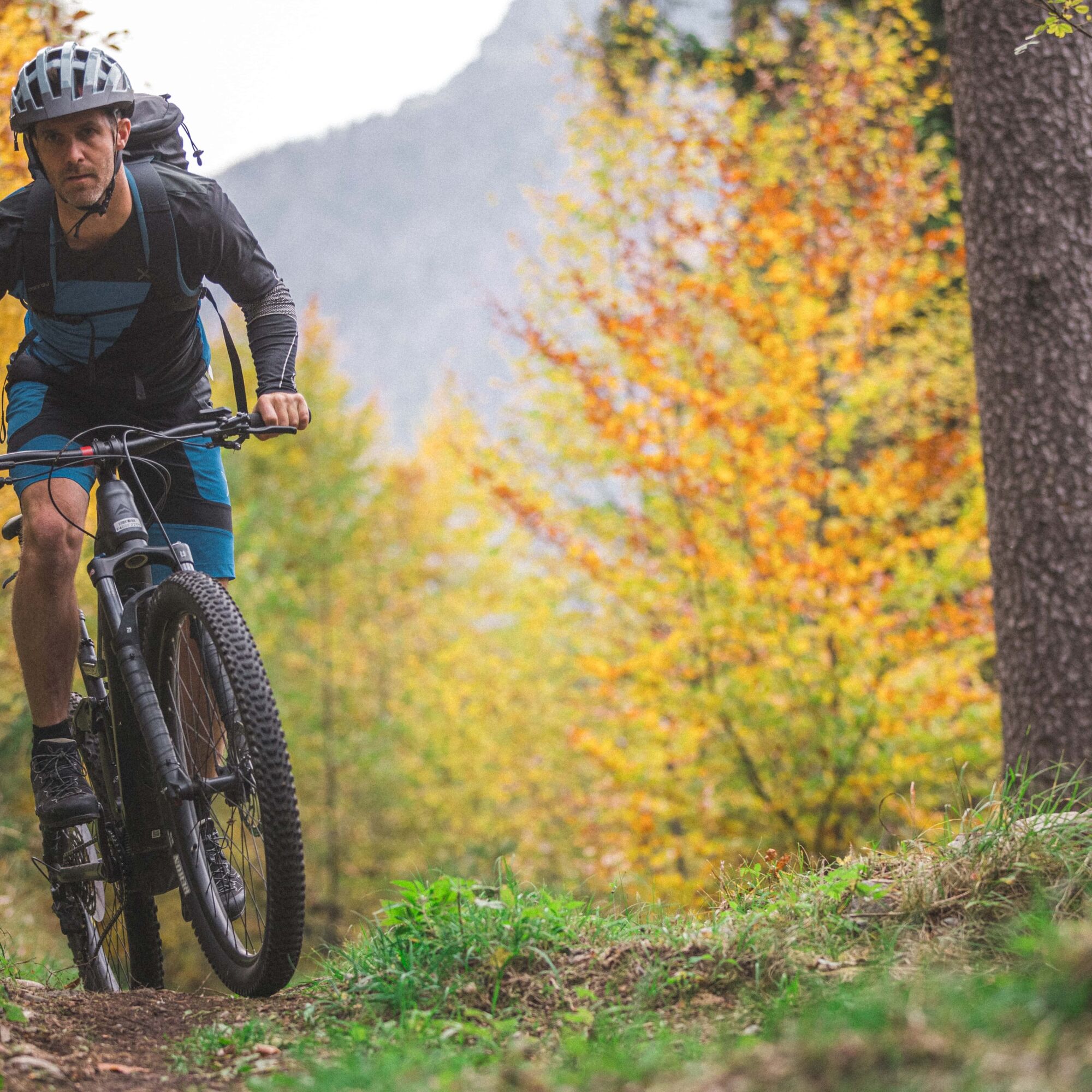
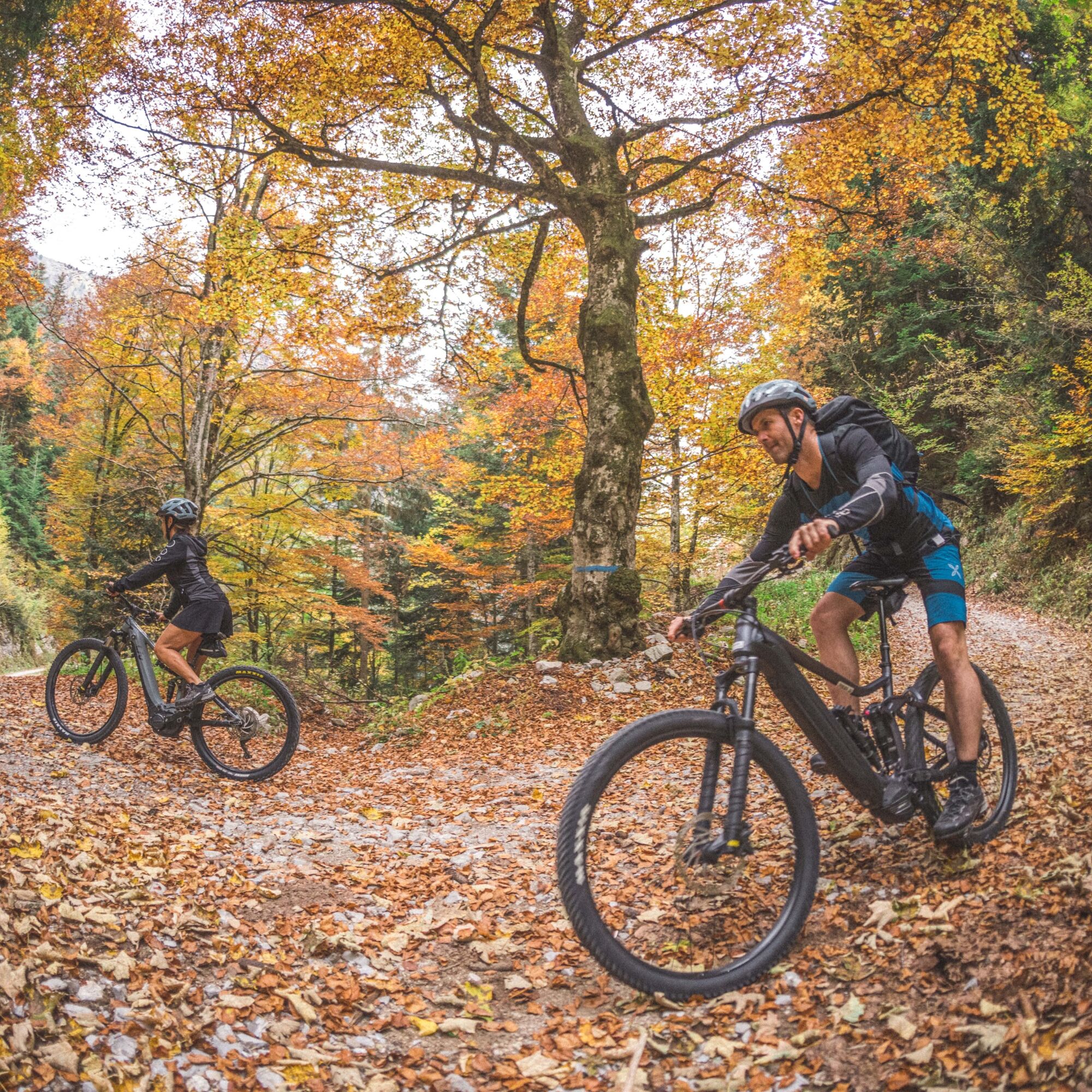
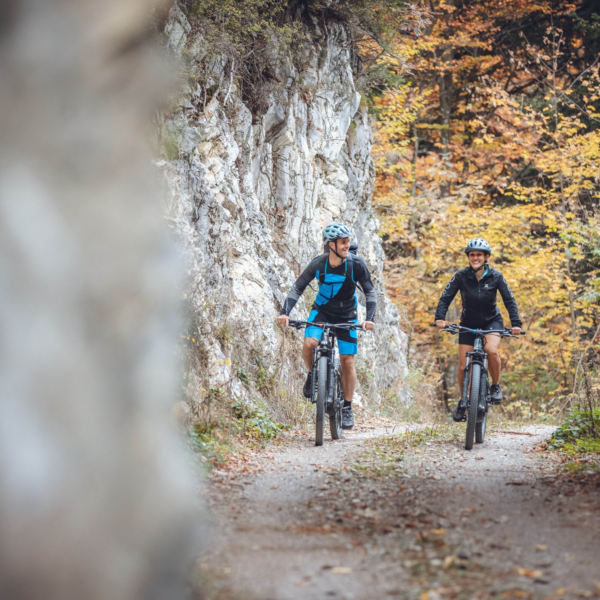

The route is a variant of the 732. Rifugio Pernici Trail Tour that allows us to avoid the most difficult part of this tour, the wild descent from Malga Grassi to Campi.
The entrance to the variant is along the road from Lenzumo to Malga Trat at a hairpin bend with a bar that blocks motor vehicles from entering (about 4 km uphill from Lenzumo and 1 km downhill from Malga Trat, shortly after the beginning of the tarmac road).
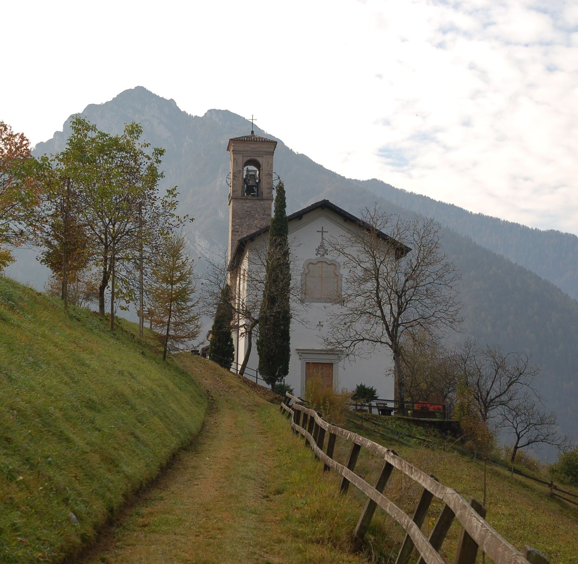
The descent is almost all on a forest road, with the exception of a well-marked section on a path. Shortly before the village of Locca, the forest road joins the tarmac road that descends towards the church and leads to the village, where we can take the 732. again to reach Lake Ledro or return to Riva del Garda.
Riding your bike requires specific clothing and equipment, even for relatively short and easy trips. It is always better to be prepared… e.g. for bad weather or a sudden drop in your energy levels. The unexpected things are part of the fun!
Remember to thoroughly evaluate the type of route you plan on doing, the locations you intend to cross and the current season. Has it been raining? Attention: The paths may be slippery and require more caution.
What do I need to bring on my bike tour?
An adequate water supply according to your needs (considering temperature, possibility of refuelling and duration of the route) Plenty of snacks (for example, dried fruit or energy bars) Waterproof / Windproof jacket A spare top / spare socks (Descending in a sweaty garment, will make you cold). Suncream Sunglasses Bike gloves/mitts Map or GPS device Bike lights: best placed on your helmet or handlebars. (It is always best to be prepared) Bike repair kit for punctures and mechanical breakdowns First aid kit Emergency whistleIt is always advised to let someone know where you plan to go and how long you expect to be.
Emergency telephone number 112.
ITRS - International Trail Rating System
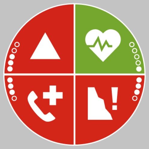
The ITRS is an objective way to assess trails and routes from a biker’s perspective, evaluating four aspects:
Technical Difficulty: riding skill level needed Endurance: combined effect of length, uphill and downhill Wilderness: amount of planning required based on mobile phone reception, rescue options, water supply and wildlife Exposure: consequences of a fallDiscover more about the ITRS system and check the classification of this tour in the photo gallery.
Safety Tips
Always wear your helmet. Plan your ride. You share the trail with other users. Yield right of way to hikers. Let your speed be determined by your experience. Ride slowly on crowded trails, overtake with politeness and respect. Cycle only on authorized and open trails. Avoid muddy trails in order not to damage them further. Respect public and private property. Always be self-sufficient. Do not cycle solo in remote areas.This information is subject to inevitable variations, so none of these indications are absolute. It is not entirely possible to avoid giving inexact or imprecise information, given how quickly environmental and weather conditions can change. For this reason, we decline any responsibility for changes which the user may encounter. In any case, it is advisable to check environment and weather conditions before setting out.
Find out how to reach Garda Trentino.
Valle di Ledro is connected to Riva del Garda by the intercity bus line 214 (Riva-Valle di Ledro-Storo).
Up-to-date information on timetables and routes.
Parking at the starting point of the 732. Rifugio Pernici Trail Tour.
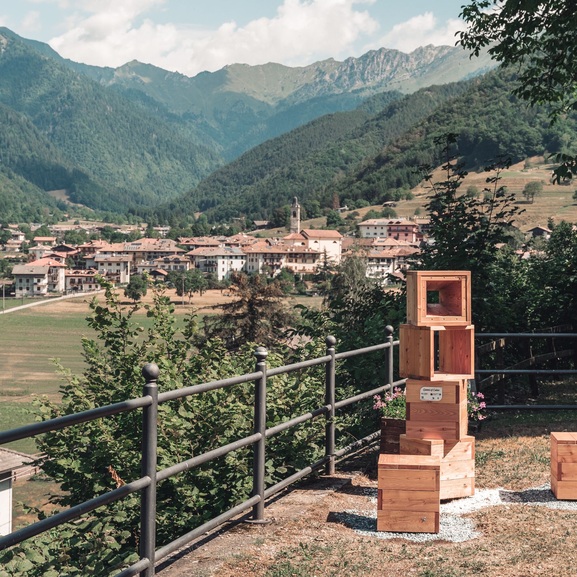
The church of Locca lies on the slopes of a sunny hill and offers wide reaching views over Val Concei. It is also the location of one of Games of Cubes installations, 100% designed and handcrafted in Valle di Ledro with the aim of bringing attention to some of the valley’s most beautiful and panoramic spots.
Pridobite vpogled
Vedno v živo na mestu z več kot 9.500 spletnimi kamerami. bergfex Kot uporabnik Pro si lahko zdaj ogledate ustrezne spletne kamere za številne izlete v aplikaciji izleti iz. Tako si lahko neposredno ogledate trenutne razmere.
Priljubljeni izleti v okolici
-
5.0
Bastione and Santa Barbara, the lords of Riva del Garda
srednjaPohodništvo 2.94 km -
5.0
Via Ferrata Signora delle Acque - Rio Ruzza
težkoVia ferrata 5.32 km -
4.8
Bocca Fortini - Tour
težkoMountainbike 35.4 km -
4.8
Via Ferrata Fausto Susatti - Cima Capi (from Ledro)
srednjaVia ferrata 7.11 km -
4.7
Sentiero Busatte Tempesta
svetlobaPohodništvo 7.90 km -
4.6
Via Ferrata delle Laste e Gallerie di Cima Rocca
svetlobaVia ferrata 6.38 km -
4.9
Via Ferrata dell’Amicizia - Cima SAT
srednjaVia ferrata 4.41 km -
4.5
Walking around Lake Ledro
svetlobaPohodništvo 9.40 km -
4.4
Tremalzo Big - Tour
težkoMountainbike 45.6 km -
4.6
Colodri Klettersteig (A/B)
Via ferrata 7.50 km
Pohodništvo in sledenje


Ne zamudite ponudb in navdiha za naslednje počitnice
Vaš e-poštni naslov je bil dodan na poštni seznam.





