







Sentiero della Pace 32: Paneveggio to Rifugio Passo alle Selle
Your starting point is deep in the Paneveggio forest, also known as the Forest of Violins, which has been known to luthiers since ancient times. They would come here to find the tonewood used for crafting...
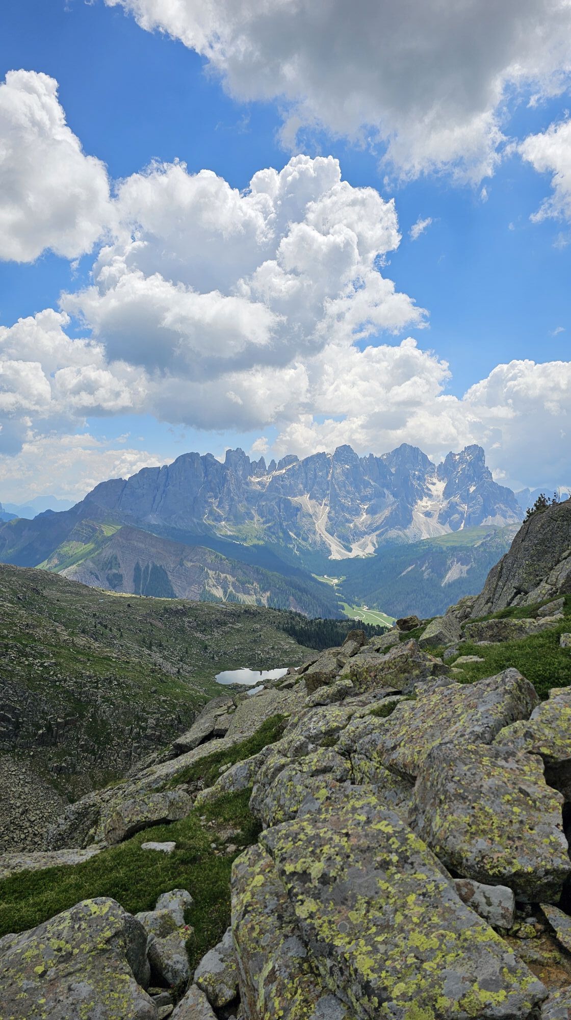
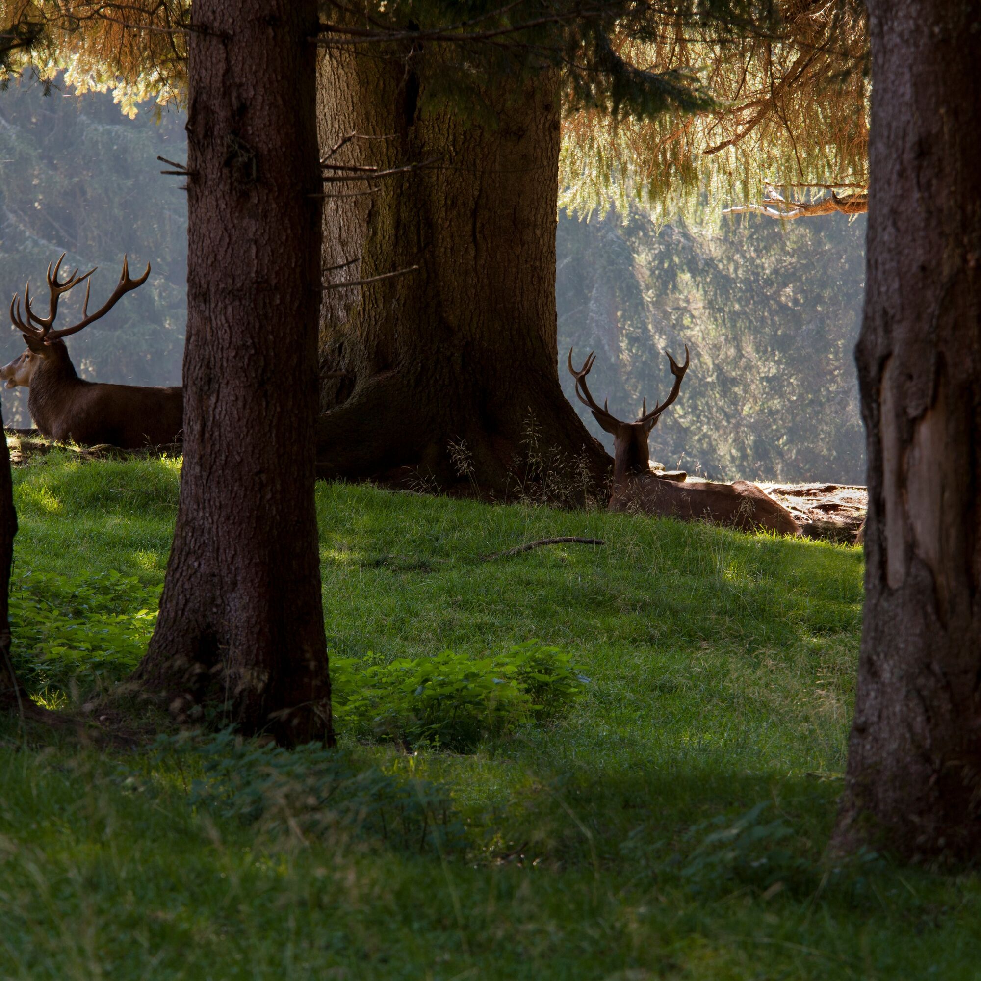
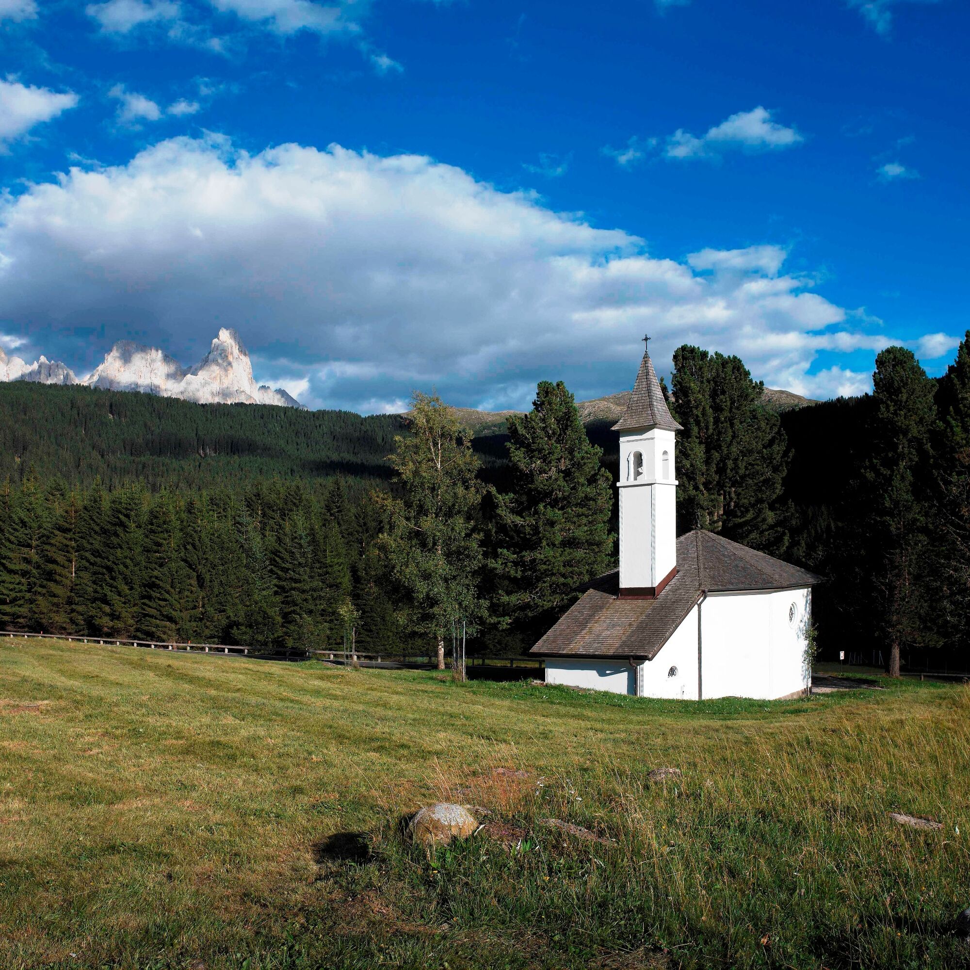
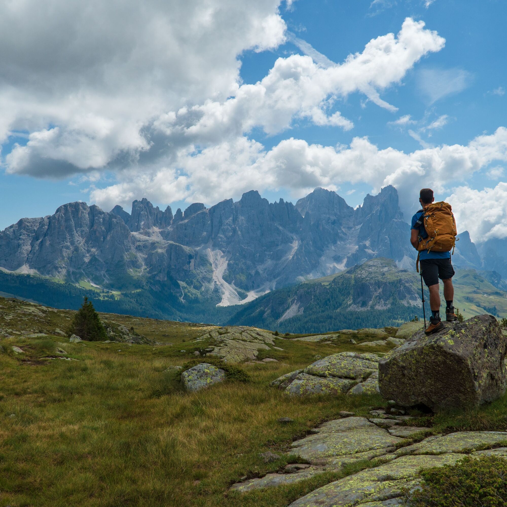
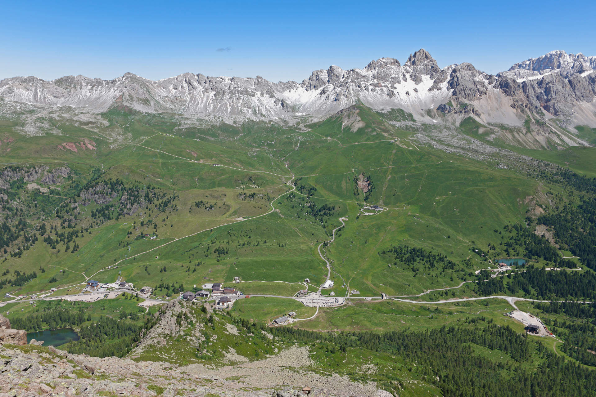
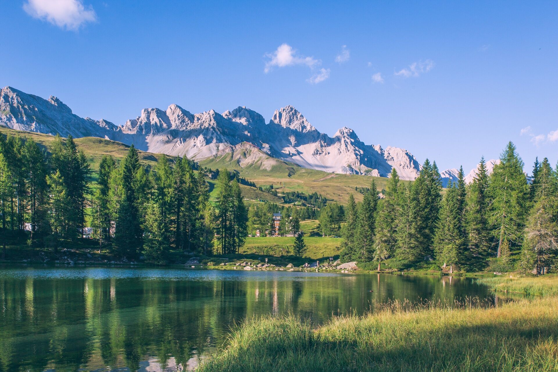
Your starting point is deep in the Paneveggio forest, also known as the Forest of Violins, which has been known to luthiers since ancient times. They would come here to find the tonewood used for crafting violins and other string instruments. Once you reach Malga Bocche, we recommend taking a break to admire the magnificent view of the Pale di San Martino. The trail continues through a wood of pine trees for a while, before emerging from the vegetation at Lake Bocche. Next, you’ll cross an open, panoramic landscape where you’ll notice the remains of some trenches built using porphyry stone. Forcella Juribrutto marks the start of the descent towards the San Pellegrino Pass, with its view of the dolomitic crests of Costabella and Cima L’Om. From here, you’ll start to ascend again: first on asphalt, then on a dirt road surrounded by pastures, and finally along a trail leading to the Selle Pass, where the Rifugio Passo alle Selle lies. This is your final destination, with a jaw-dropping view to reward all your efforts throughout this long stage.

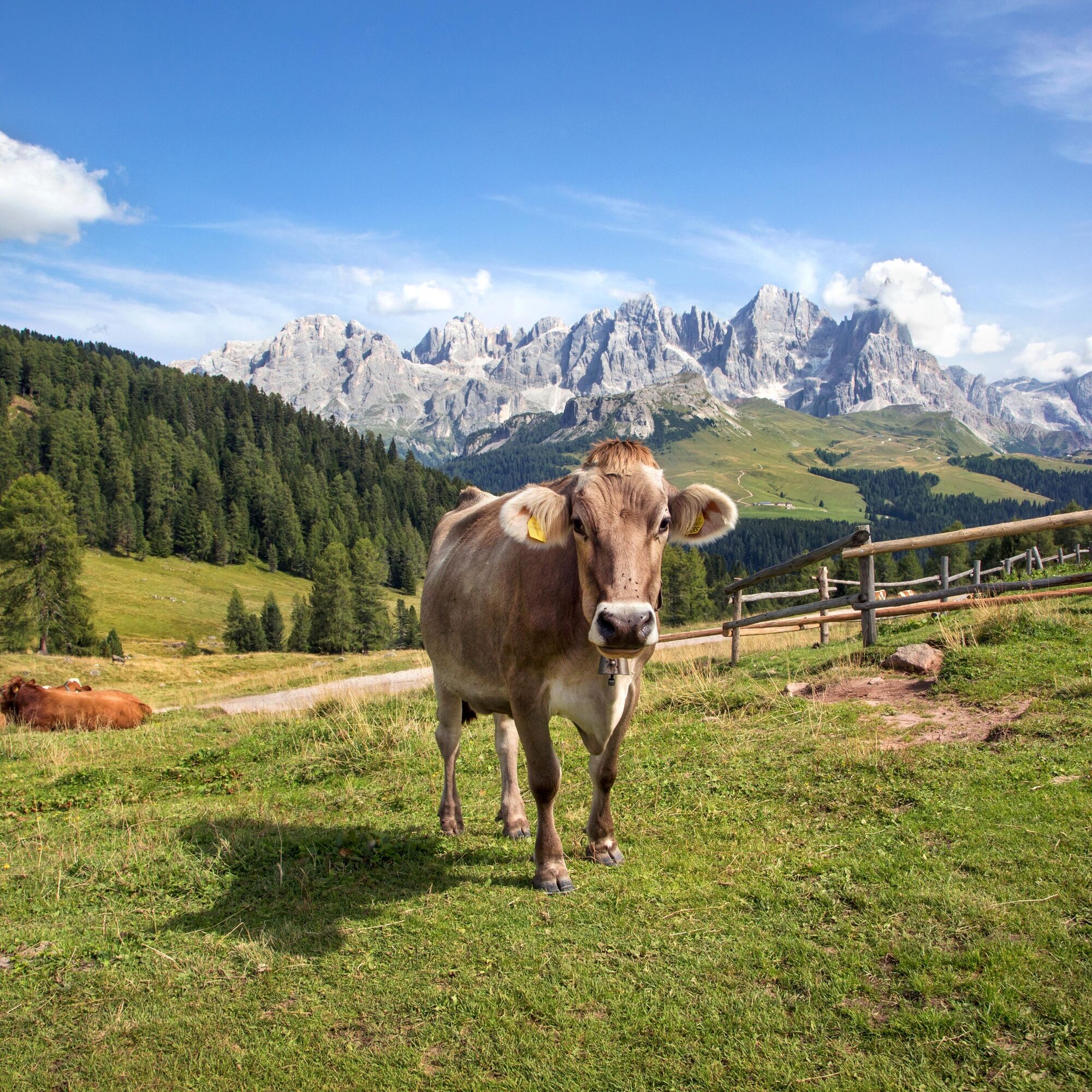
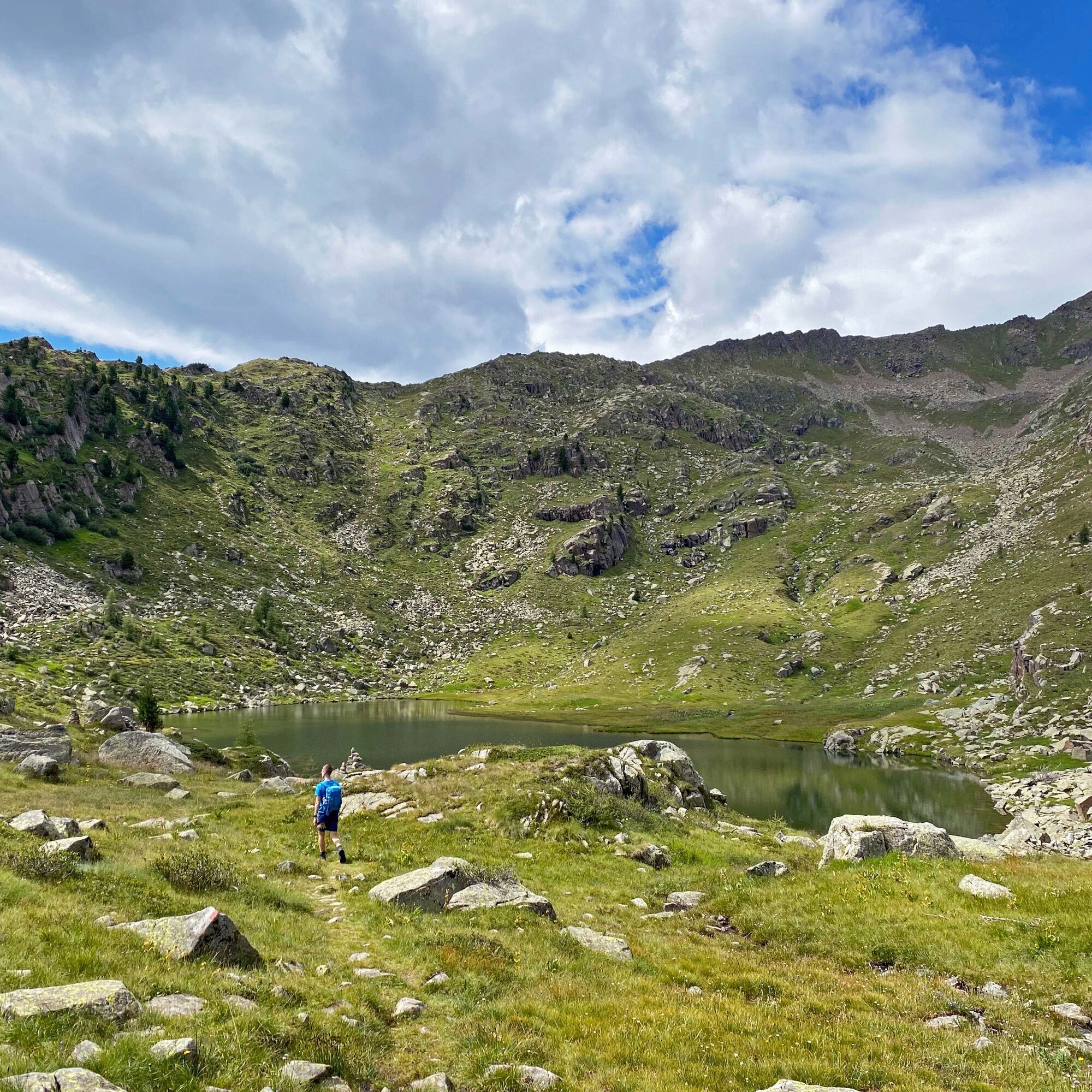
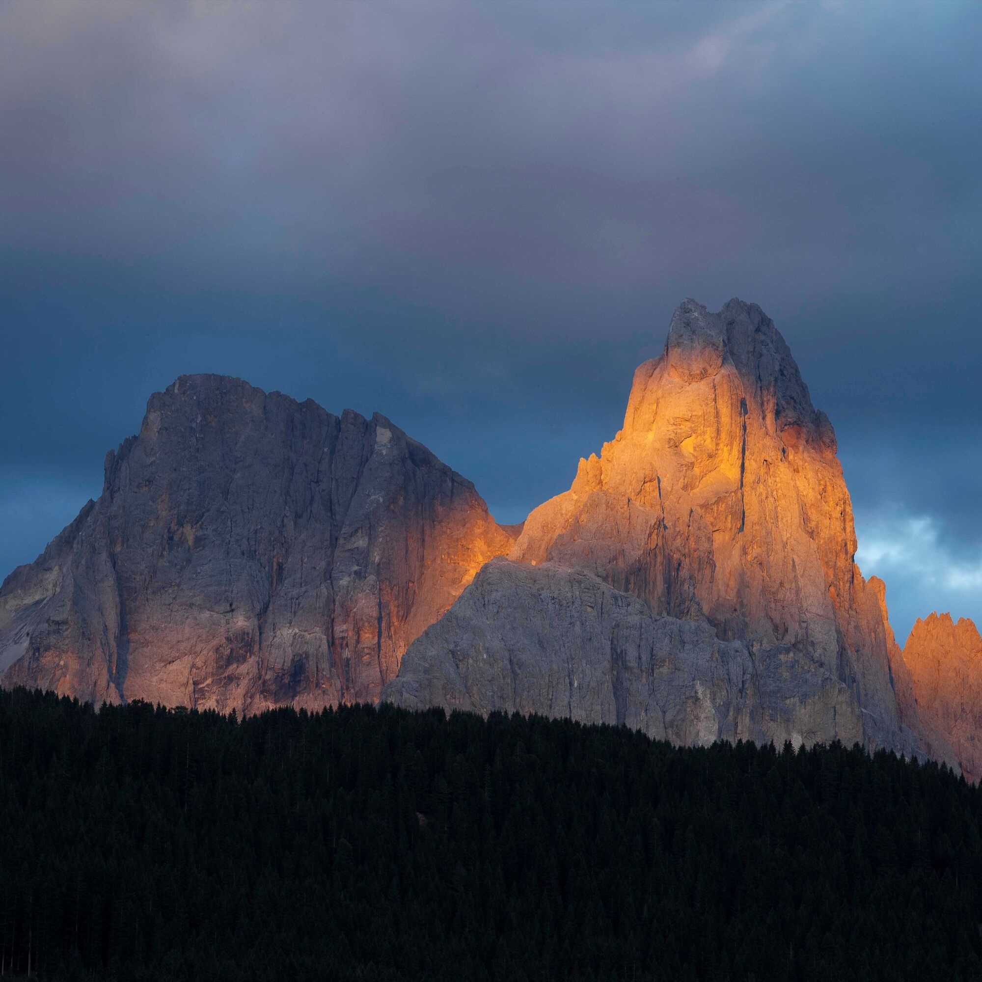
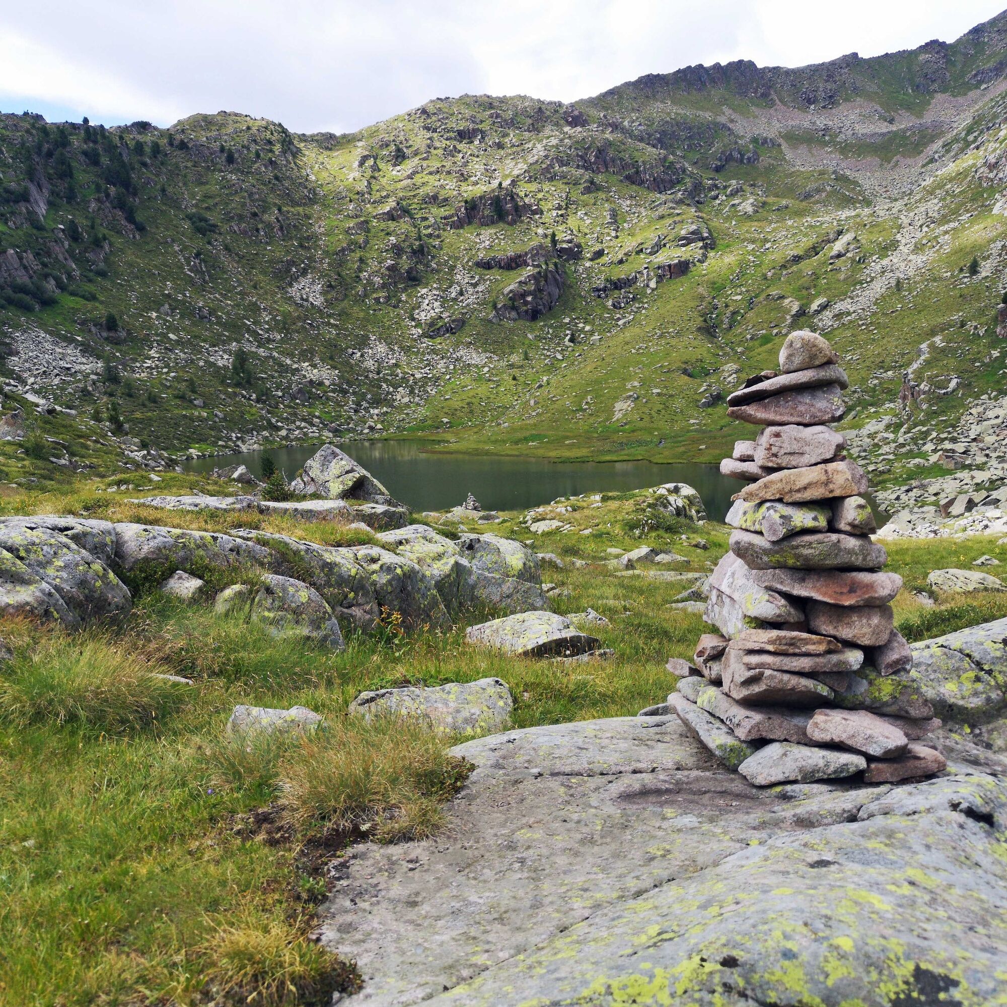
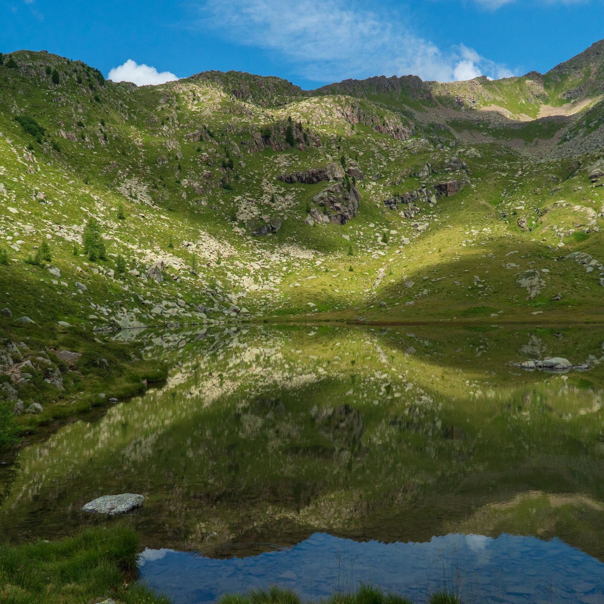
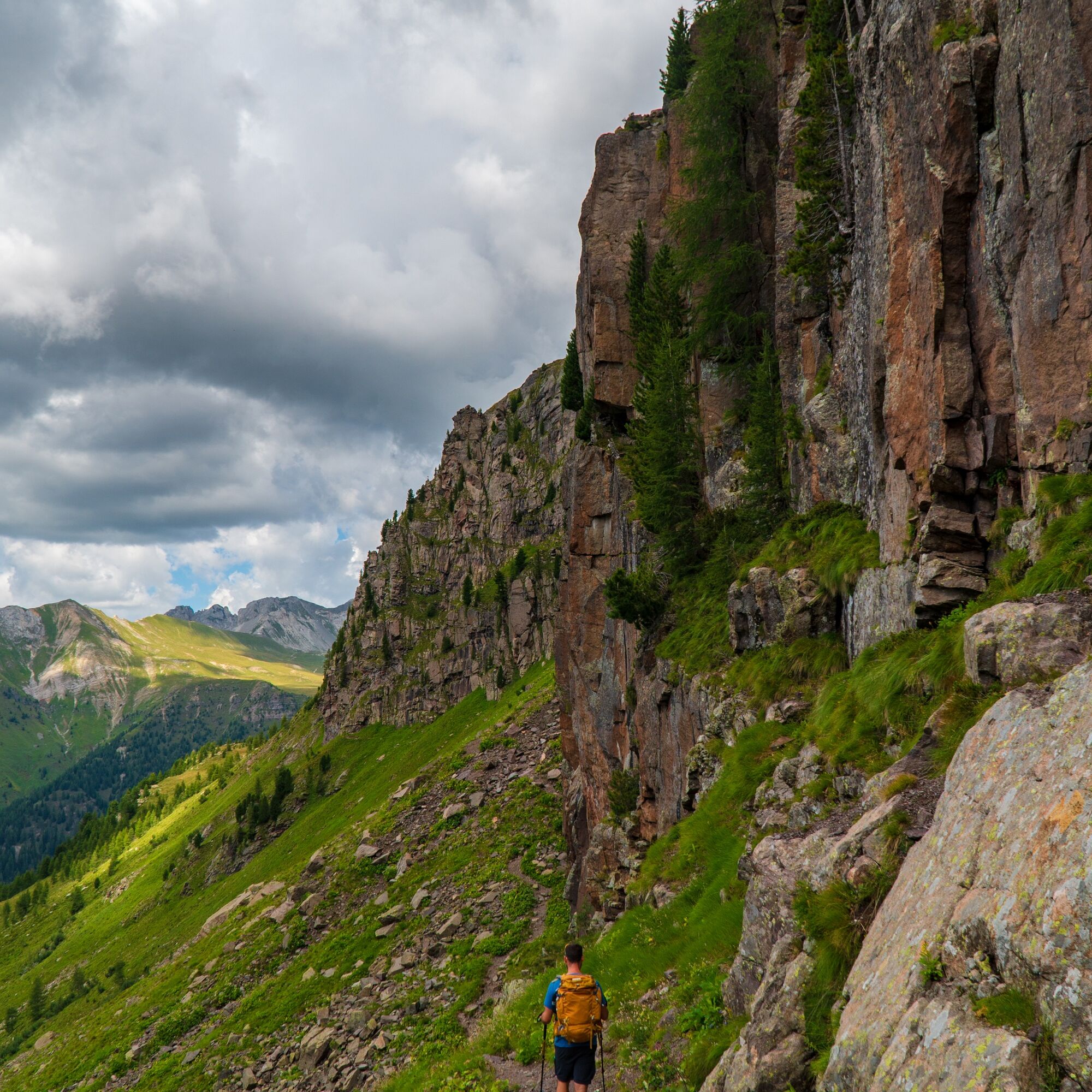
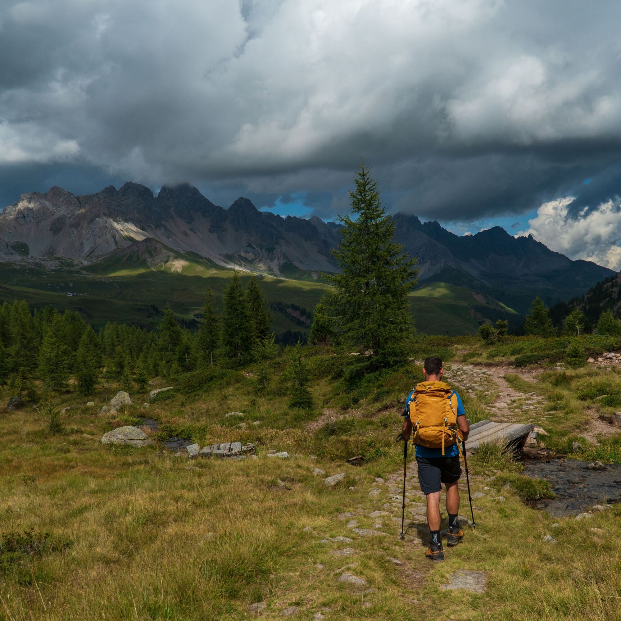
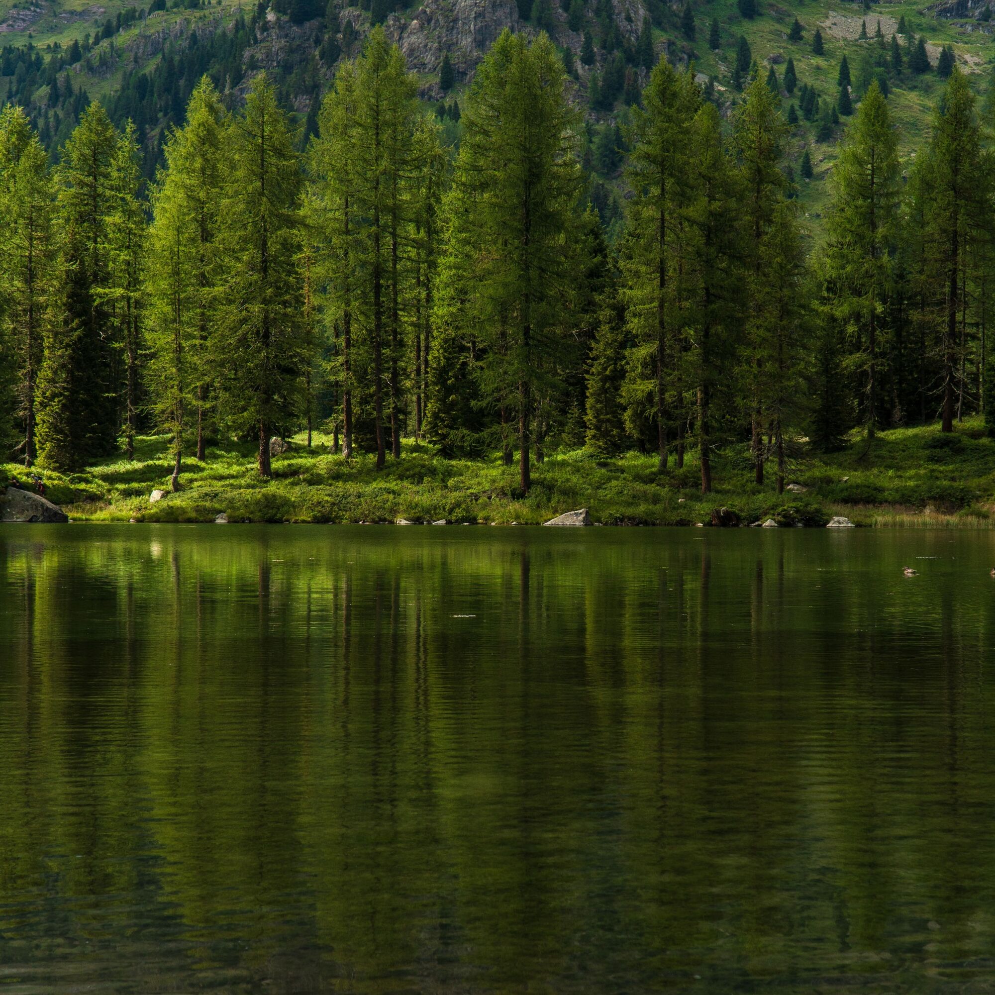
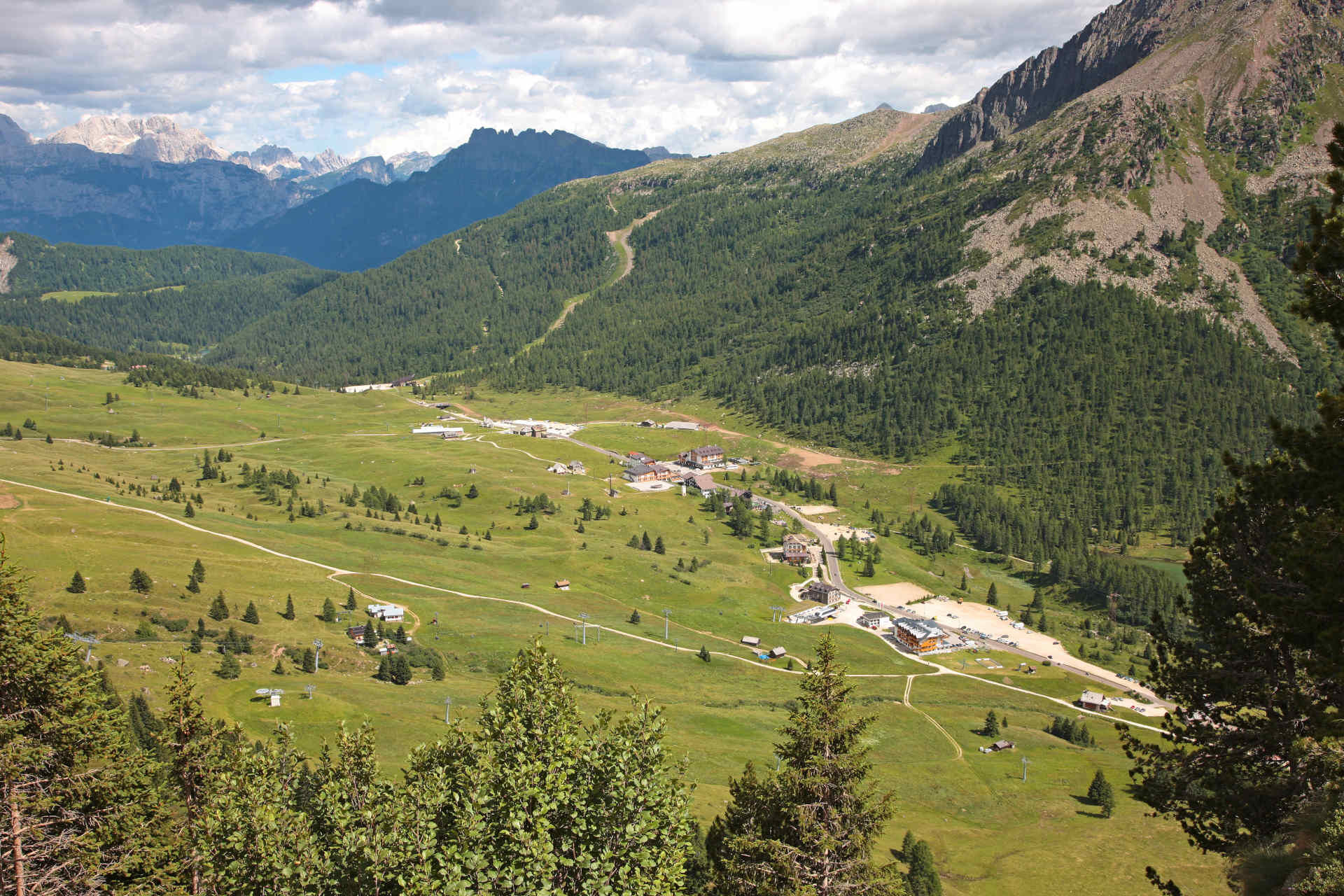

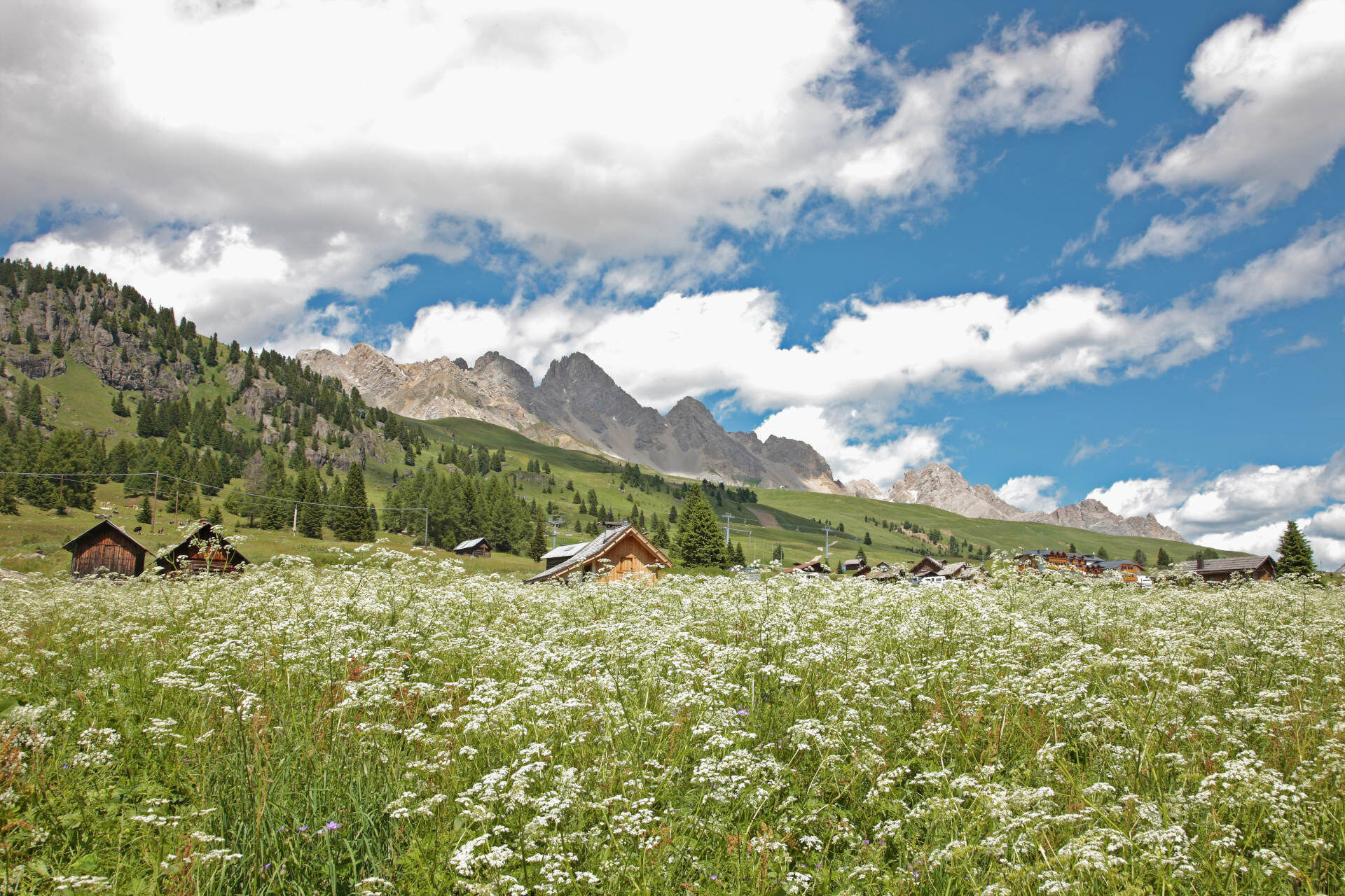
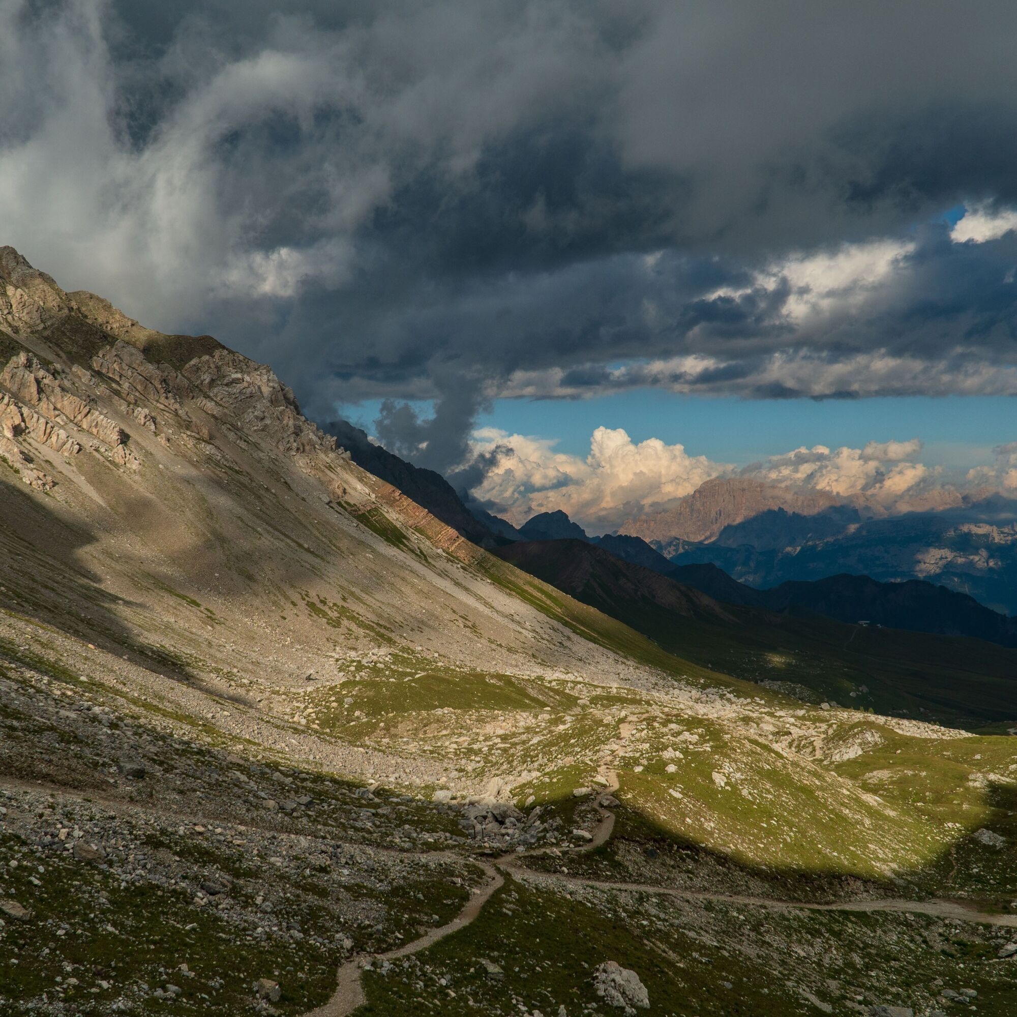
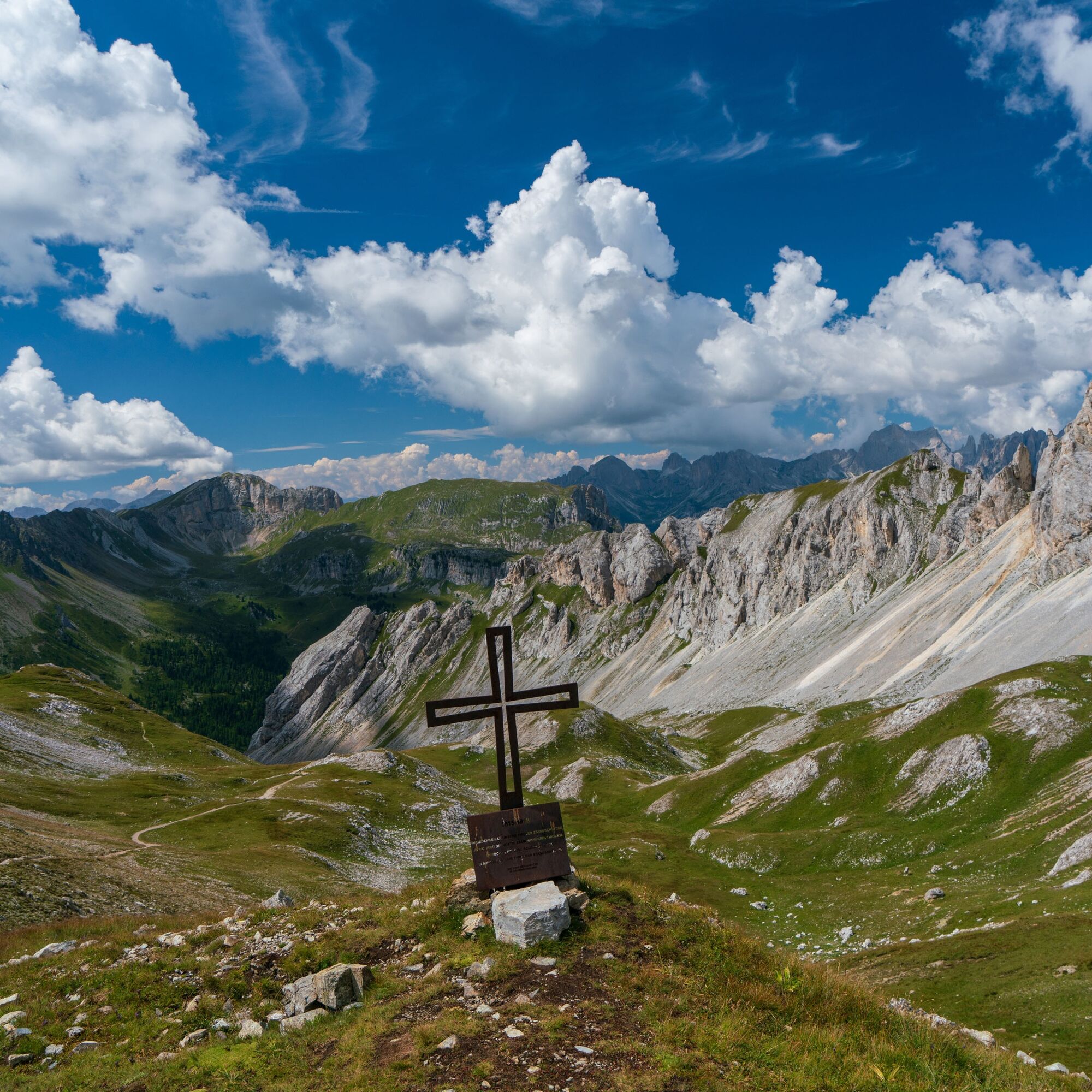

From Paneveggio, take the dirt road (trail 626) and begin the long climb towards Forcella Juribrutto. It’s easy going, with wide bends and exposed to the sun, as far as an altitude of 1,819 m, when you’ll switch to a cobbled trail leading into the woods. Shortly afterwards, at a fork in the road (just before a little bridge), you’ll keep left along trail 626, which quickly reaches the idyllic Malga Bocche. Keep climbing along 626, mostly through the woods, and pass Bait dele Vedele, a spartan little wooden hut that makes for a useful shelter in the event of bad weather. The wood thins out and, as you continue to climb (with a little stream, the Rio di Bocche, on your right), you’ll reach the lovely Lake Bocche (2,248 m) at the centre of a semi-circular hollow below Cima Bocche.
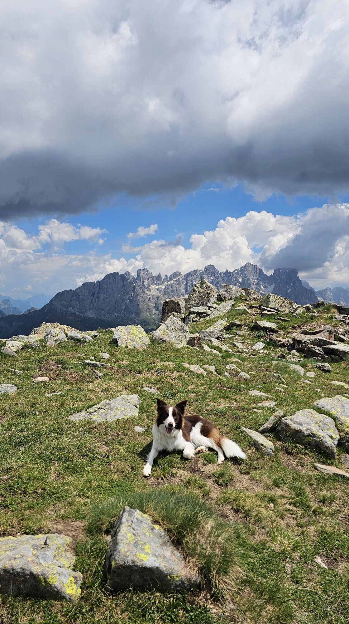
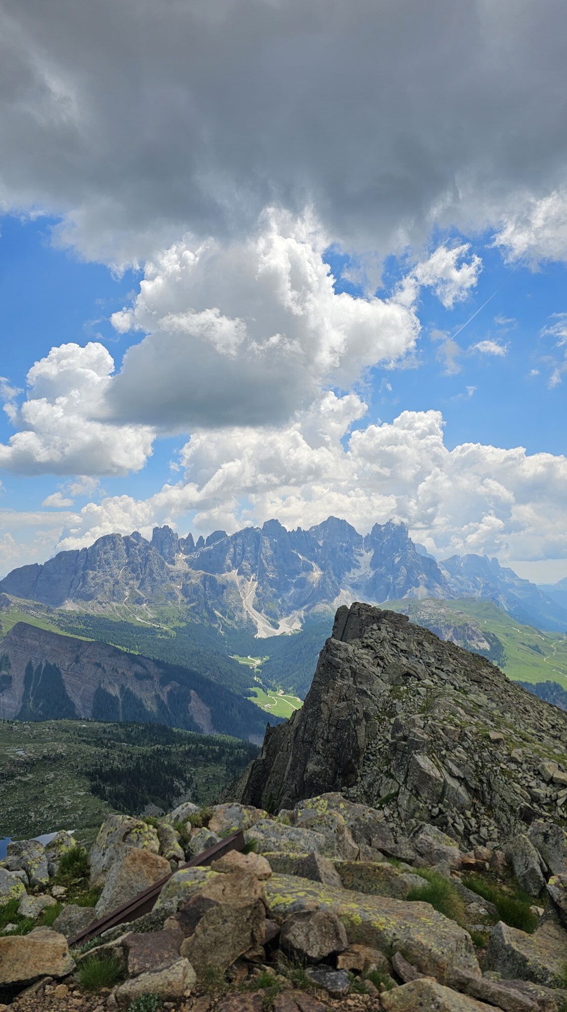
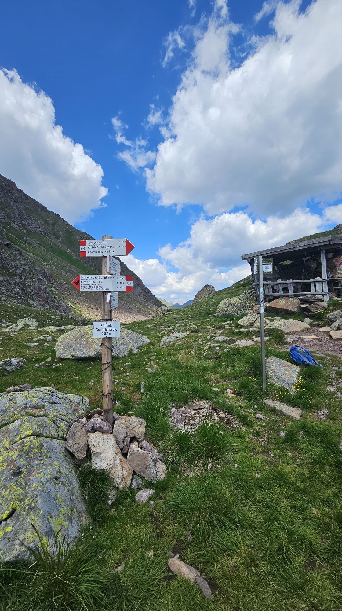
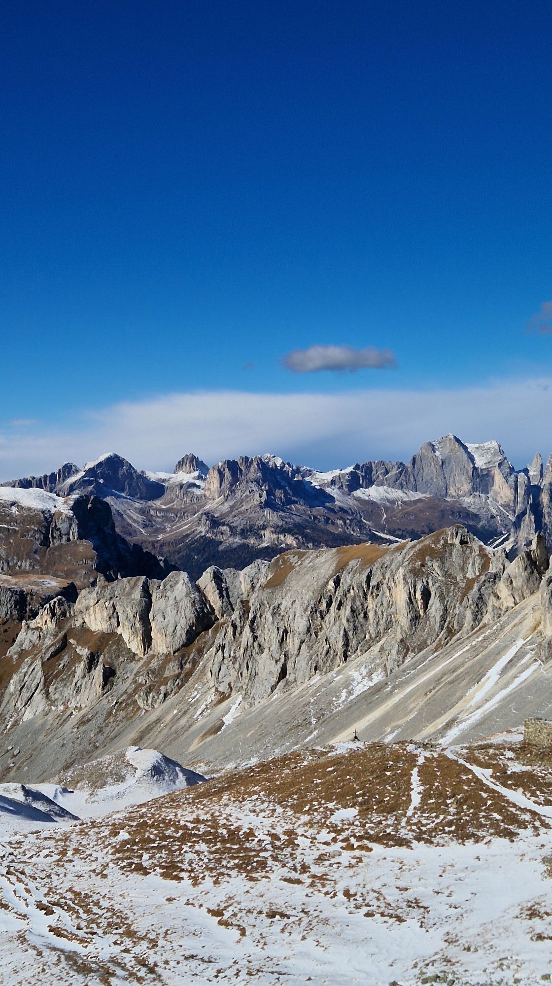
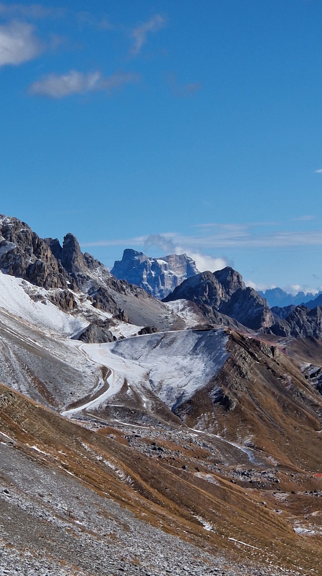
Out in the open now, you’ll make your way along the slope until you reach a signpost with directions for Forcella Juribrutto, again on trail 626 (if you like, you can continue across the slope for a quick visit to the Val Miniera obelisk, a military monument dedicated to the Alpine troops). Ascending once again, you’ll find yourself surrounded by old World War I trenches. The track on the ground becomes less and less visible, and you’ll need to rely on the stone markers to stay in the right direction; however, the incline is never too steep and the climb should go quickly. At an altitude of 2,561 metres you’ll find yourself looking out from a small gap along the south-eastern crest of Cima Bocche. The view is incomparable: in addition to the now-familiar Pale di San Martino, you’ll glimpse the Civetta peak to the east and, beside it, the Pelmo. Just below, you can spot Lake Juribrutto.
Take trail 628, a good track which turns sharply downwards, tackling a few areas of scree along the way. At Forcella Juribrutto (2,387 m), you’ll find not only a little natural well, but also a small awning with a table beneath it, the perfect spot for a picnic lunch. From the pass, the long descent along trail 628 continues as follows: after a couple of areas of scree, you’ll take the trail running across the slope at the foot of the reddish Juribrutto cliffs, with a slight descent; next, from Pas de l’Ors, the countryside opens up to reveal the San Pellegrino Pass and, above it, the Dolomite crests of Cima L’Om.
Keep going down, an untaxing descent through the meadows of Le Palue, with old military shelters dotted here and there. When you finally reach the area around the San Pellegrino Pass, it’s worth taking a stroll around the lake of the same name, which features a number of wooden sculptures around its shores.
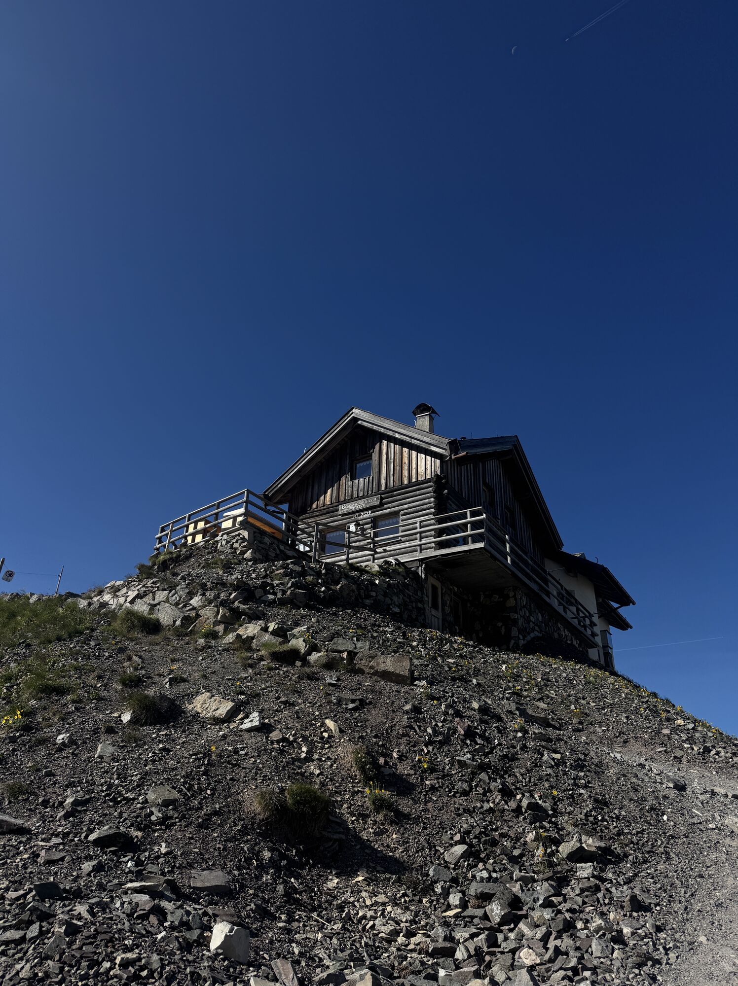
After crossing the road, you’ll tackle the second climb of the day (unless you’re too tired to go any further, in which case you can stop for the night in one of the many nearby hotels). After a first stretch on asphalt, you’ll take a little path to the left that cuts through the meadows, emerging onto a dirt road with a considerable and unrelenting incline. After a few kilometres, you’ll leave the carriageway behind for trail 604 and, after one last effort, you’ll reach the much-anticipated Selle Pass, where with its rifugio. The view is breath-taking, whether you look to the east or to the west. This is definitely an excellent spot for admiring the colours of the Civetta peak at sunset and, in particular, at dawn.
However, if you’ve still got fuel in the tank, you can keep going along trail 604 and descend to the Rifugio Taramelli, which offers less of a vantage point but a very intimate atmosphere.
Da
Find out more at this link
Trentino’s Path of Peace is not a simple walking route, it is an Alta Via (hut-to-hut itinerary). As such, it requires proper training and experience. If you are a beginner, embark on this journey with a guide!
Before setting off, read our guide, Caution in the Mountains, carefully
Though it has no technical difficulties, this stage is a particularly long one, and with its significant altitude changes (the first climb gains over 1,000 metres) it takes a long time to complete. However, the journey can be broken at the San Pellegrino Pass.
HIGHLIGHTS:
The pine trees Lake Bocche Sunset and sunrise from the Selle PassSpletne kamere s turneje
-
Marmolada
-
Col Margherita
-
Col Margherita
-
Col Margherita
-
Le Cune
-
Le Cune
-
Le Cune
-
Le Cune
-
Le Cune
-
Le Cune
-
Falcade
-
Le Cune
-
Le Buse
-
Le Buse
-
Le Buse
-
Arrivo funivia col Margherita
-
Lago Cavia
-
Seggiovia Lago cavia Col Margherita
-
Col Margherita
-
Col Margherita
-
Col Margherita
-
Col Margherita
-
Le Cune
-
Castelir
-
Castelir
-
Castelir
-
Castelir
-
Castelir
-
Castelir
-
Canazei - Ciampac
-
Canazei - Ciampac
-
Canazei - Ciampac
-
Canazei - Ciampac
-
Passo Rolle
-
Moena - San Pellegrino Pass / Chalet Isabella
-
Cima Uomo
-
Cima Uomo
-
Cima Uomo
-
Cima Uomo
-
Cima Uomo
Pridobite vpogled
Vedno v živo na mestu z več kot 9.500 spletnimi kamerami. bergfex Kot uporabnik Pro si lahko zdaj ogledate ustrezne spletne kamere za številne izlete v aplikaciji izleti iz. Tako si lahko neposredno ogledate trenutne razmere.
Priljubljeni izleti v okolici
-
4.4
Viel dal pan
svetlobaPohodništvo 6.60 km -
4.8
Passo Costalunga - Sella del Ciampaz
srednjaPohodništvo 8.35 km -
4.6
Kölner Hütte - Hirzelsteig - Rotwandhütte - Baita Tre - Karerpass
srednjaPohodništvo 9.56 km -
5.0
Rosengarten: Cigoladepass und Fassaner Höhenweg
srednjaPohodništvo 15.6 km -
4.5
Cavallazza Peak
srednjaPohodništvo 7.82 km -
5.0
Giro del catinaccio a nova levante
Pohodništvo 11.7 km -
4.9
Rifugio Paolina - Laurin's Lounge - Kölner Hütte - Rifugio Fronza alle Coronelle - Paolina
srednjaPohodništvo 8.19 km -
4.3
San Pellegrino Pass - Fuciade - Val Fredda - Malga Boer - San Pellegrino Pass
srednjaPohodništvo 11.1 km -
5.0
San Pellegrino Pass - Fuciade - San Pellegrino Pass
srednjaPohodništvo 6.83 km -
4.2
The three lakes
srednjaPohodništvo 11.1 km
Pohodništvo in sledenje


Ne zamudite ponudb in navdiha za naslednje počitnice
Vaš e-poštni naslov je bil dodan na poštni seznam.





