



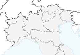


Cammino San Vili - low itinerary
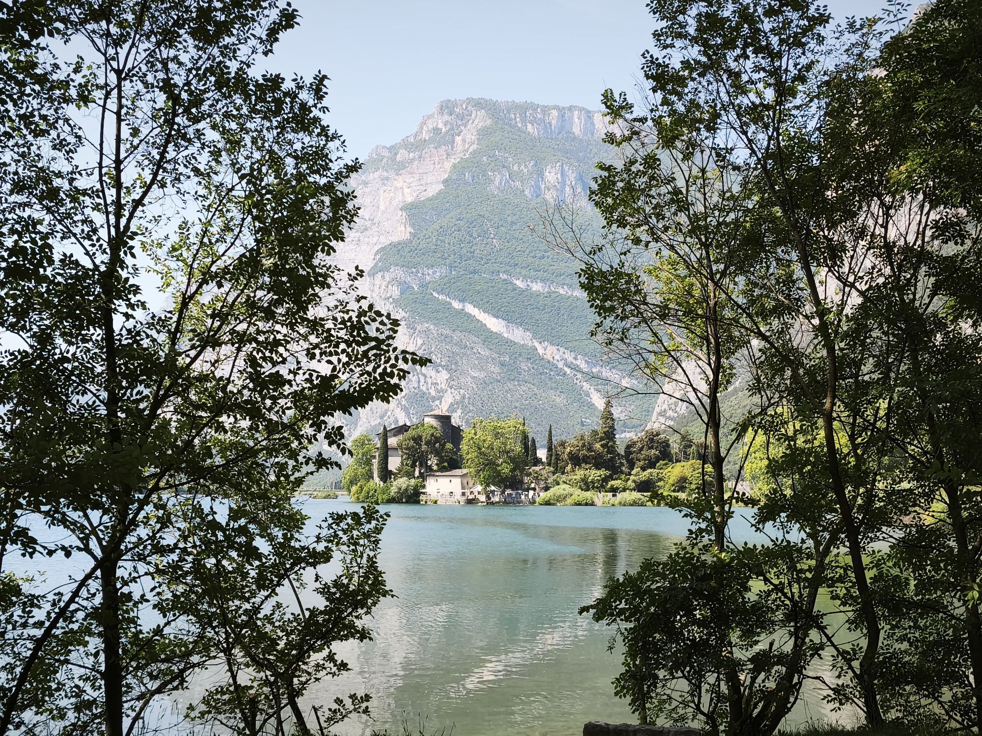
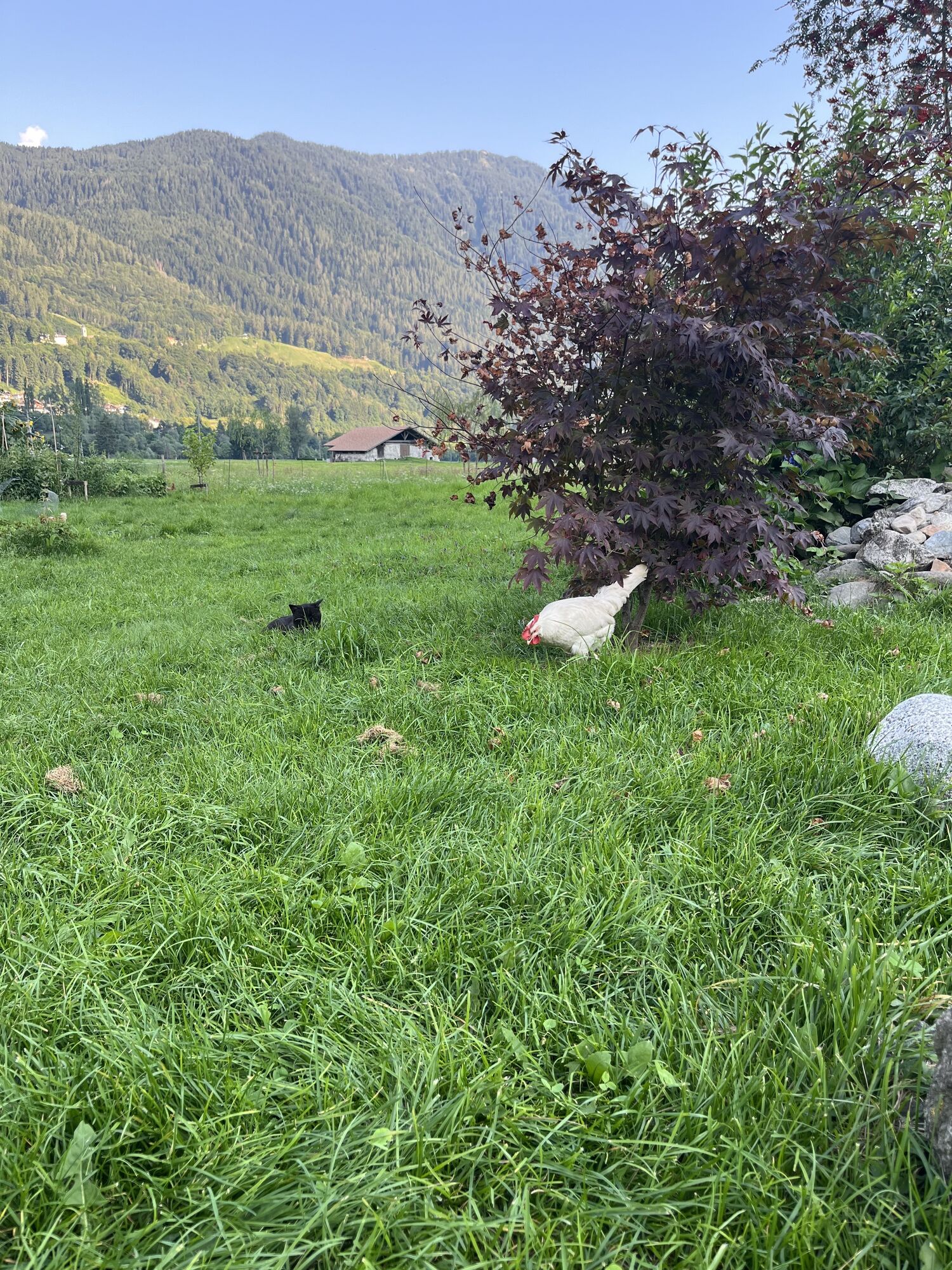
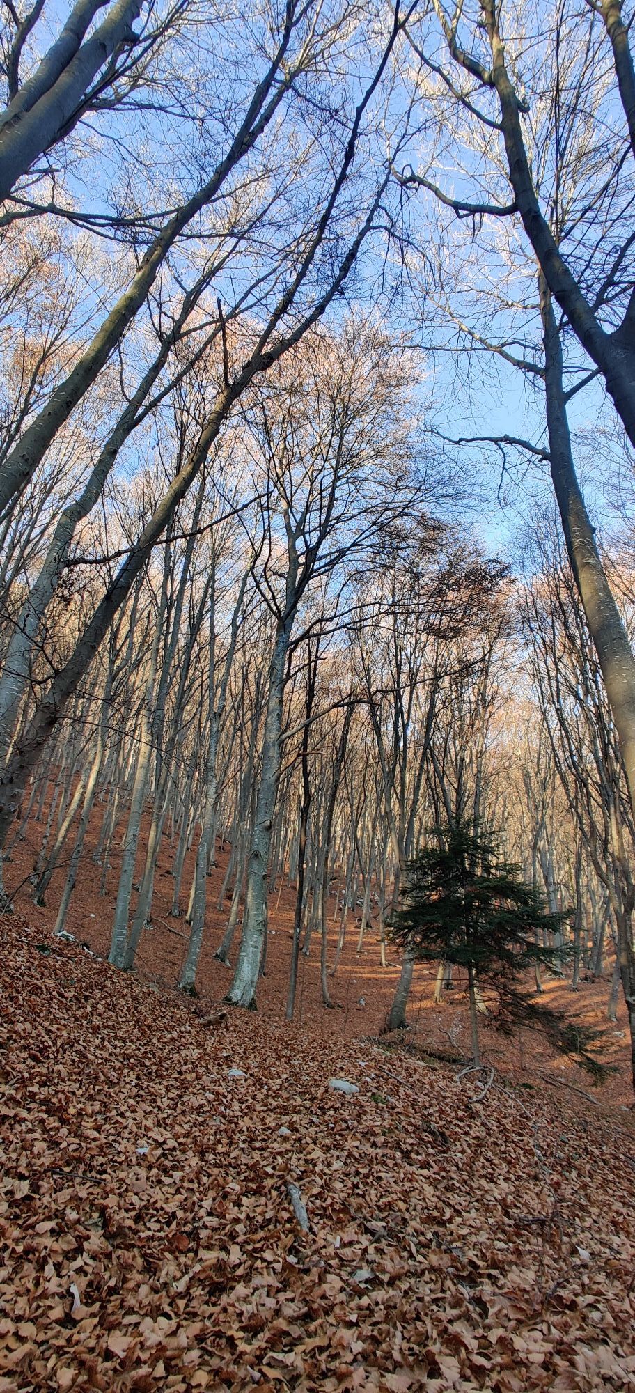

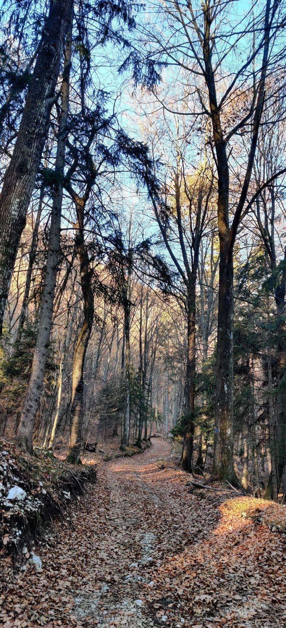
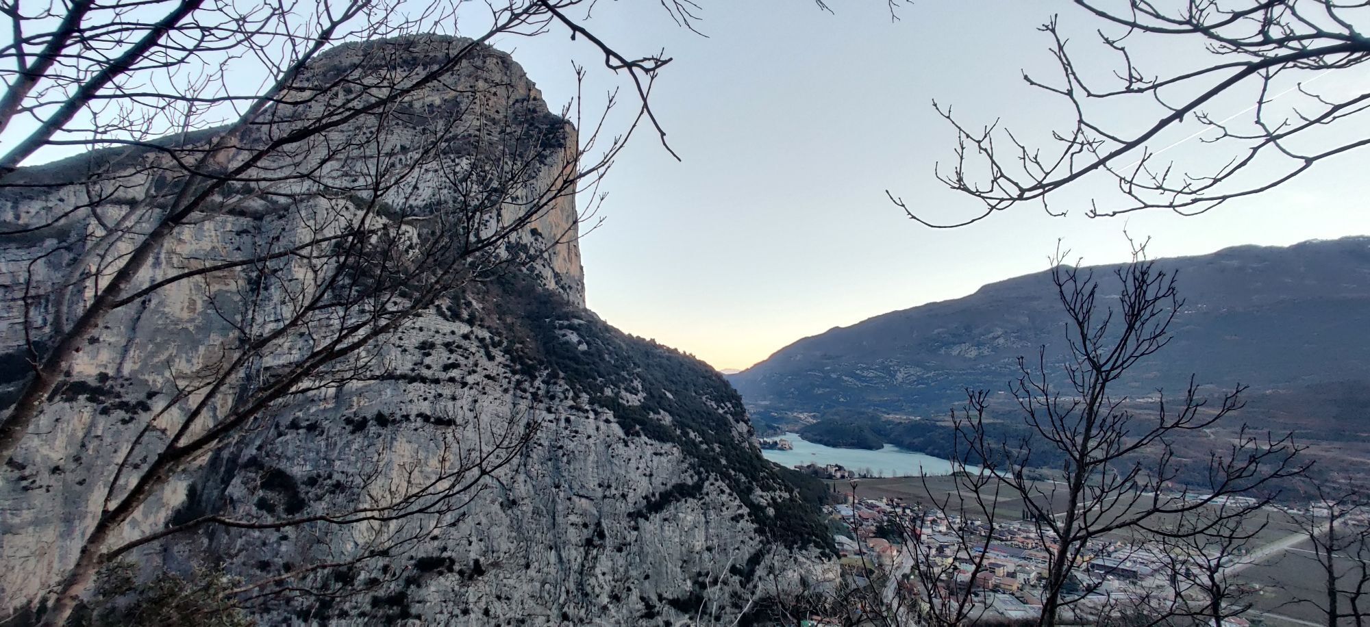
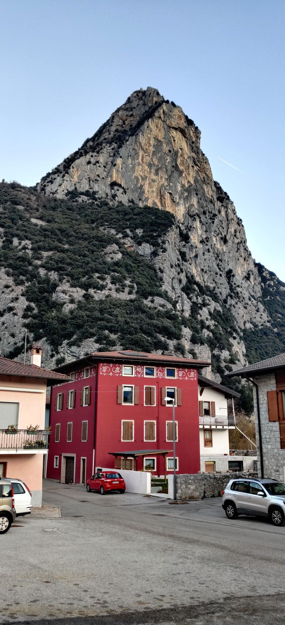
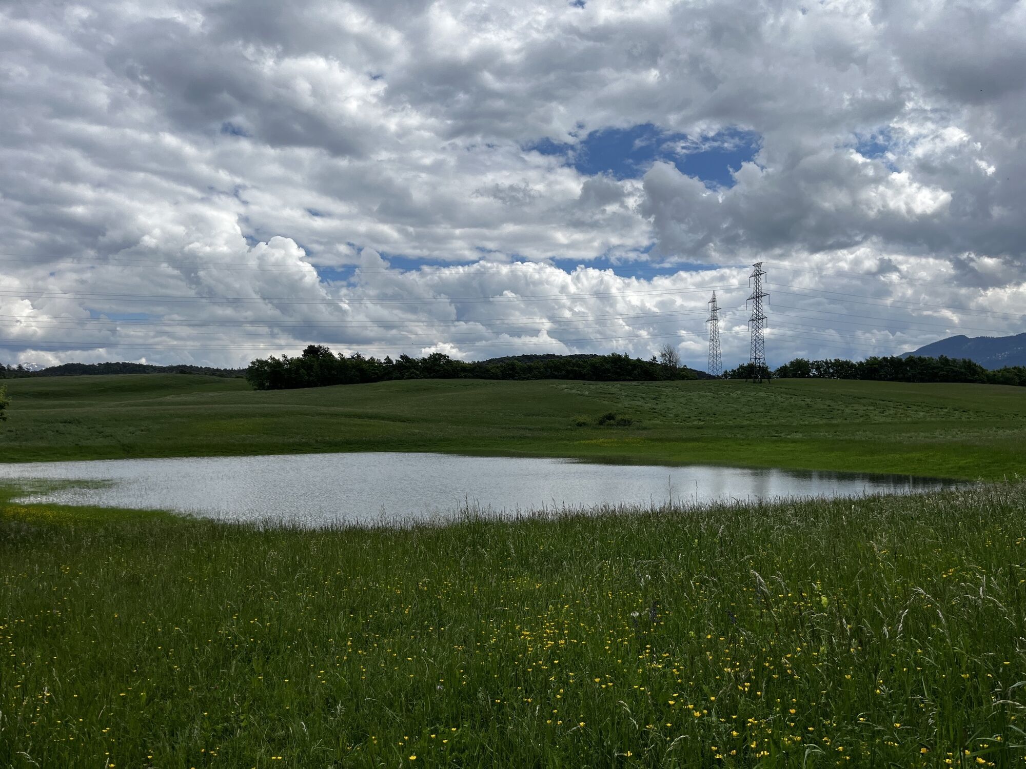
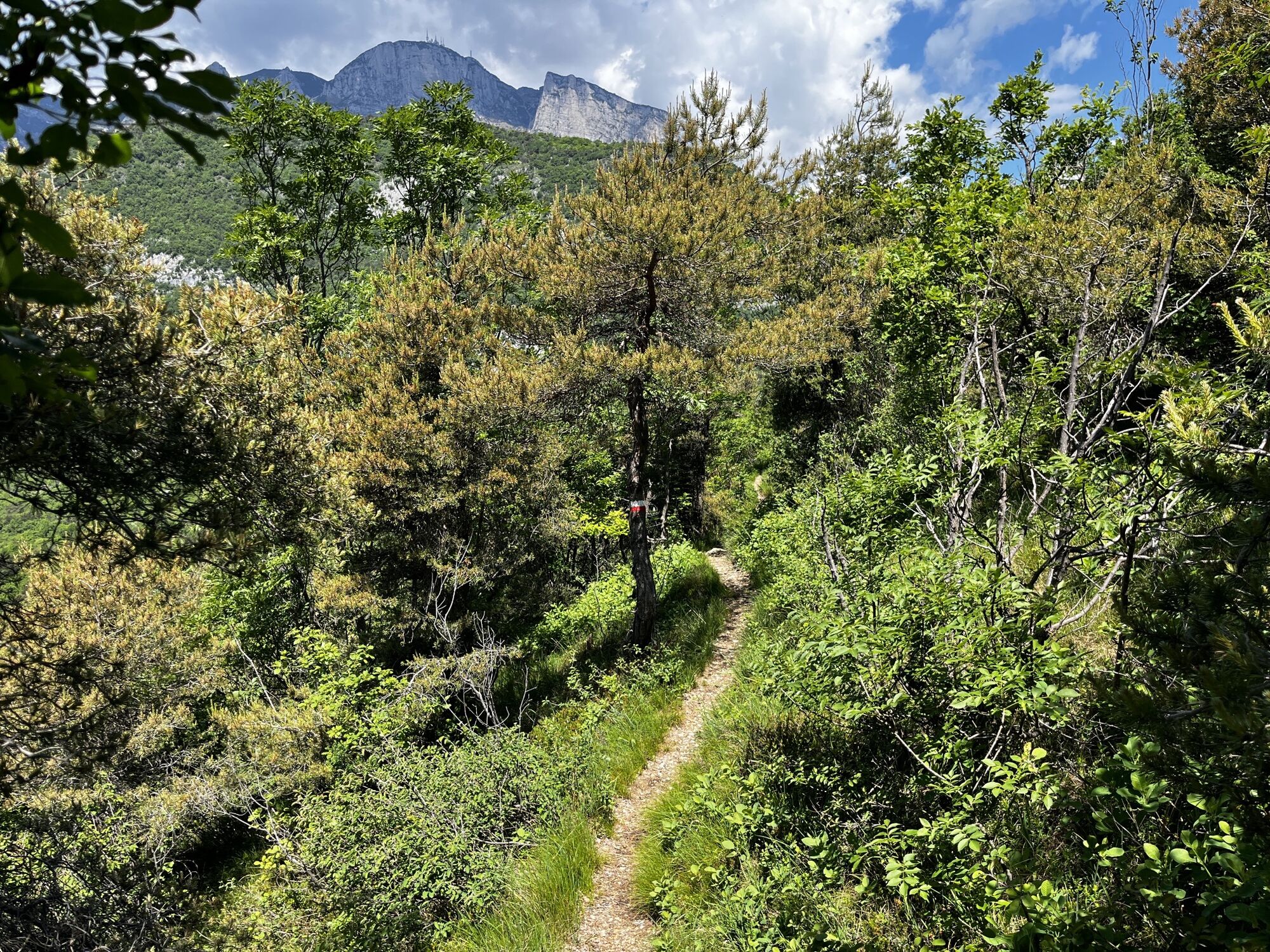
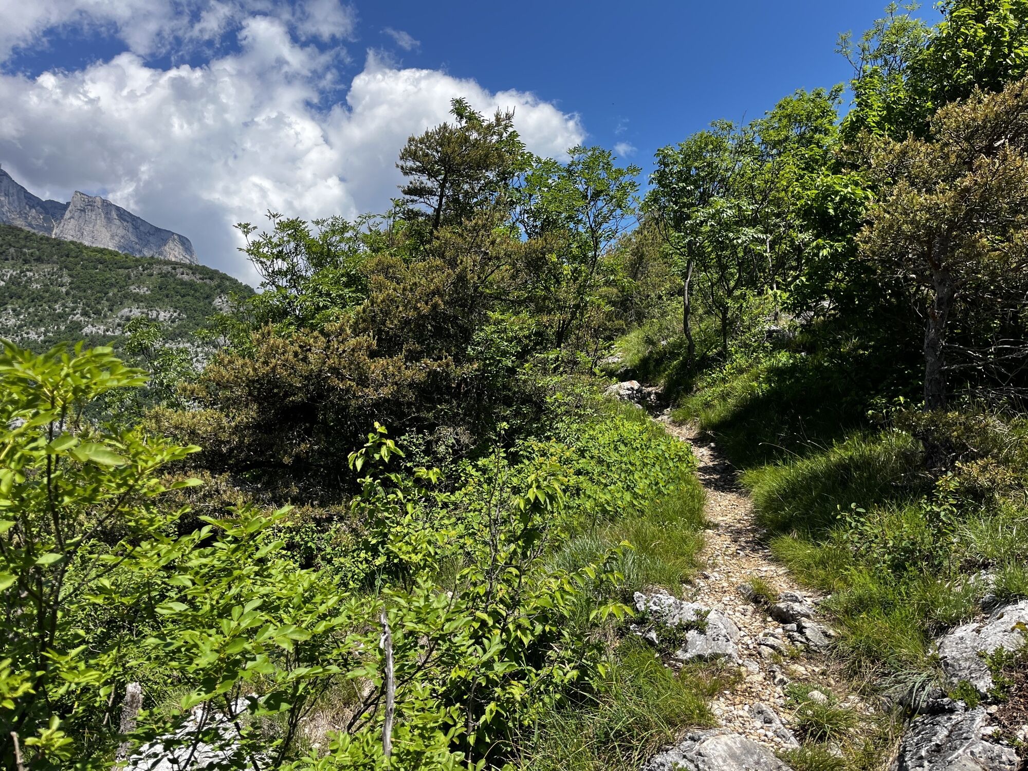
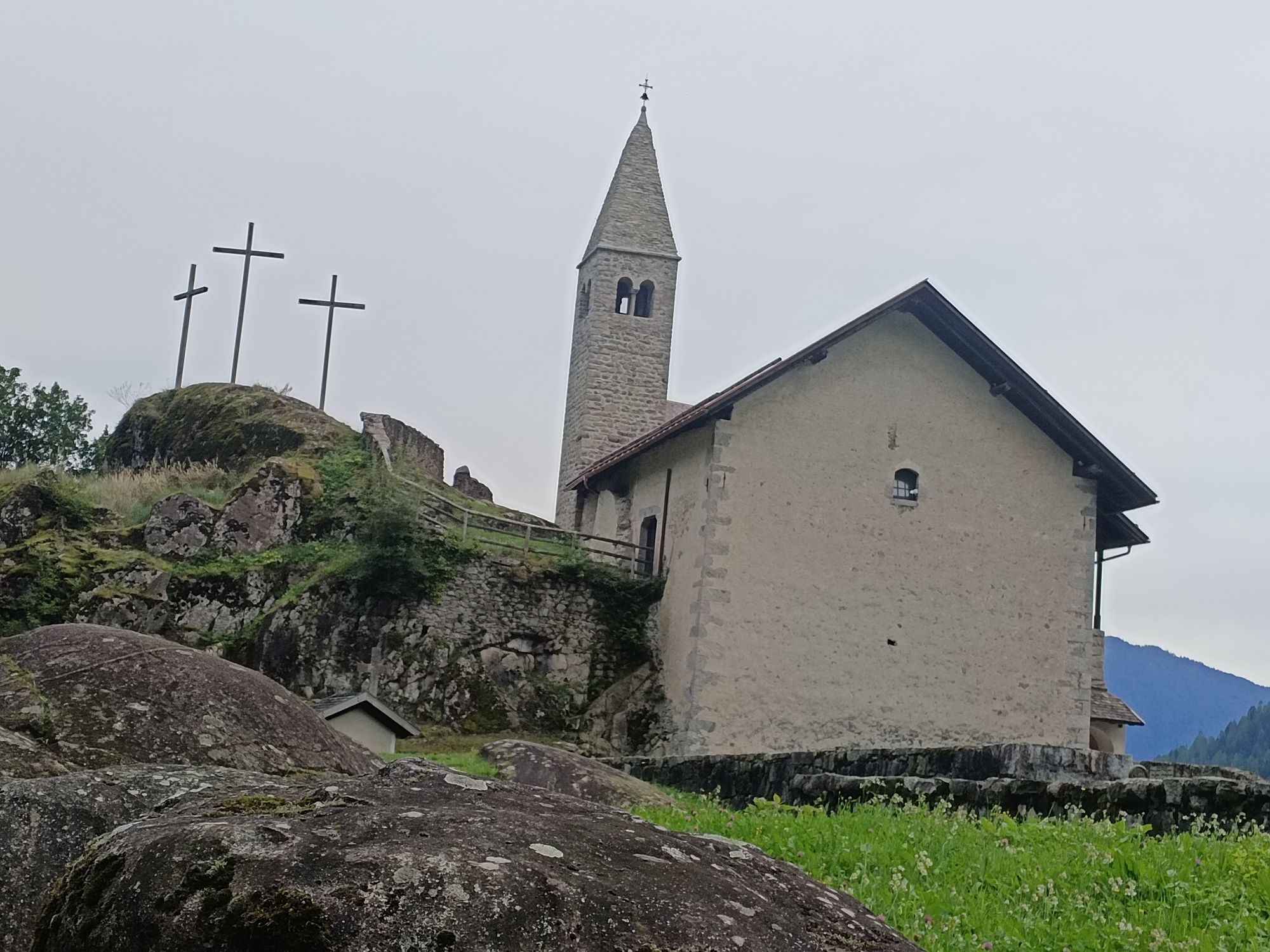
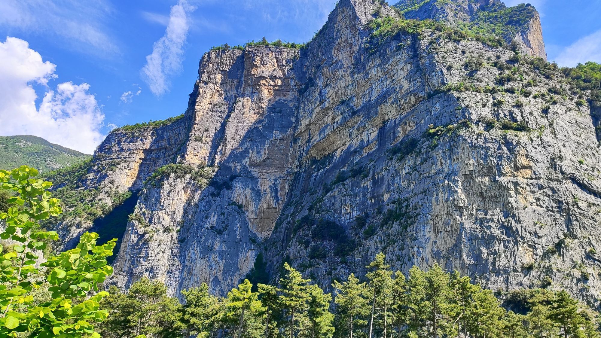
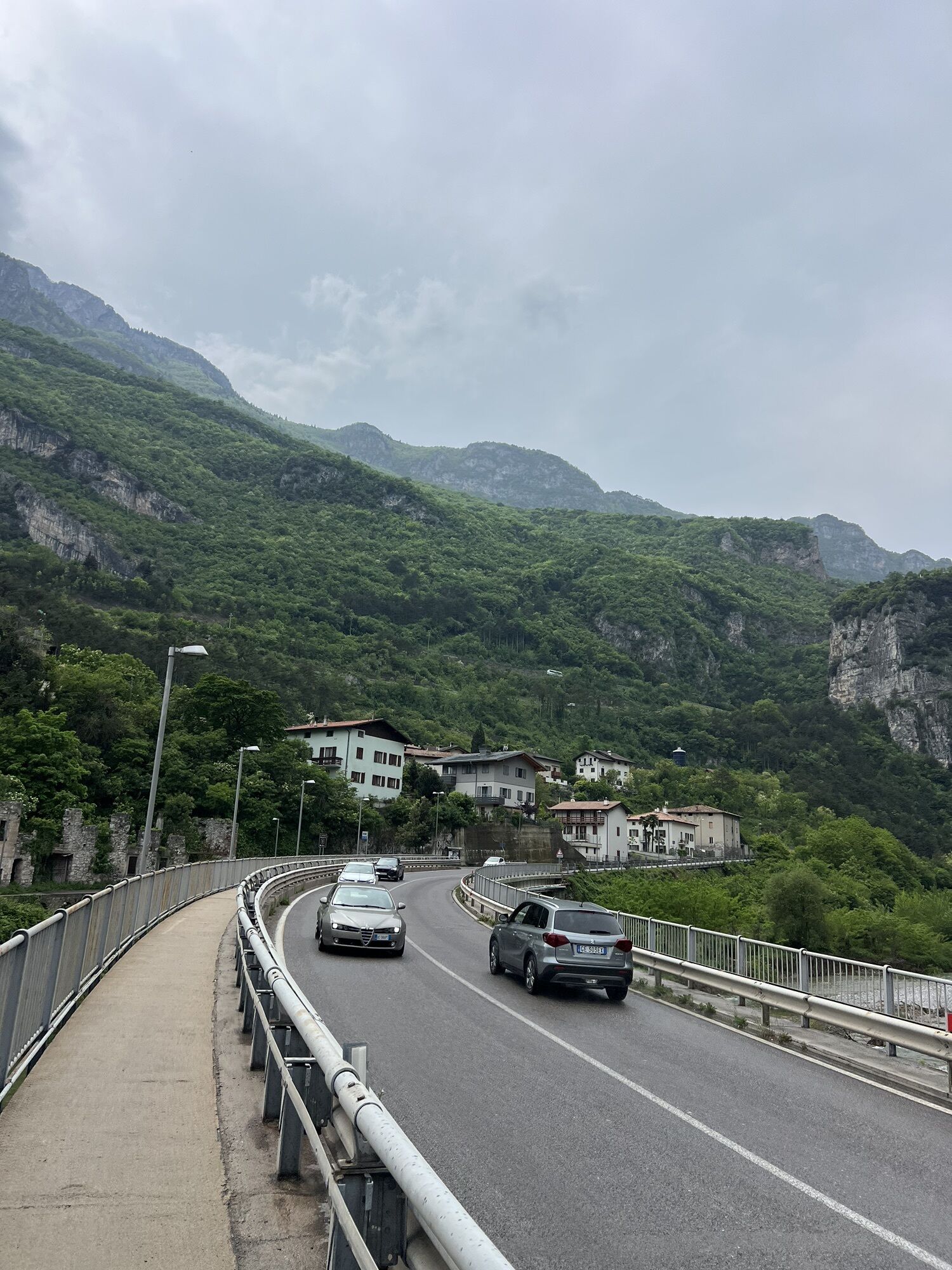
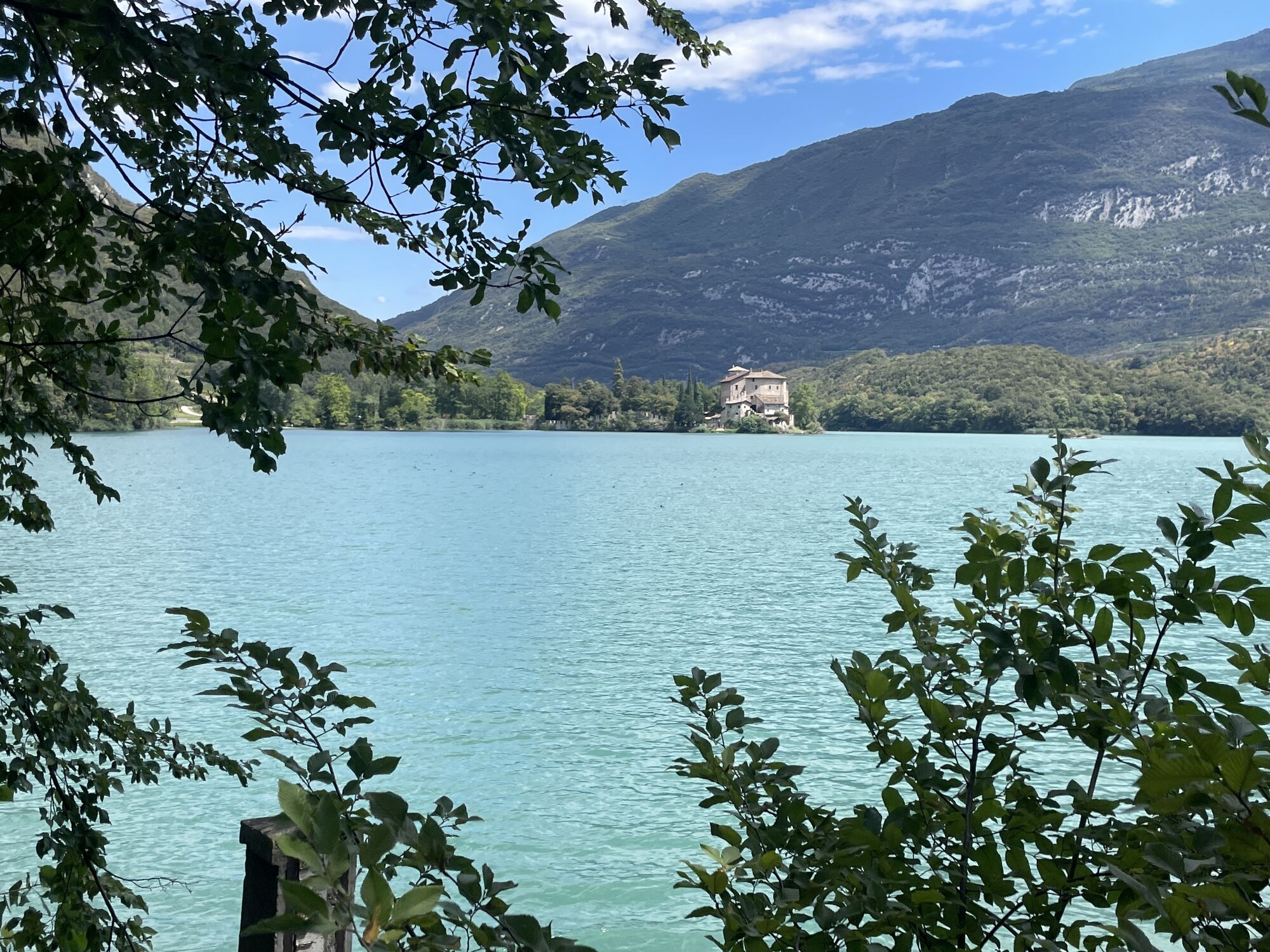
As a walker, you can choose between two options: a LOW and a HIGH Itinerary. The first crosses the villages in the valley floor, and is therefore lower and flatter; the second one, instead, walks you through...
As a walker, you can choose between two options: a LOW and a HIGH Itinerary. The first crosses the villages in the valley floor, and is therefore lower and flatter; the second one, instead, walks you through mountainous area passages, generally higher, and requiring more inclined walking.
The SAT trails are 300, 613 and 627.
Along the San Vili Trail, between Lake Lamar and Bocca Paloni, there is a small stretch where the path might seem not fully safe for inexperienced hikers.
However, those who do not wish to walk along it can take two easier and shorter paths – n°615 and then n° 611 – which from Vallene meet up with the San Vili path (n ° 627) just down below Bocca Paloni, on the way to Sorasass and Vela / Trento.

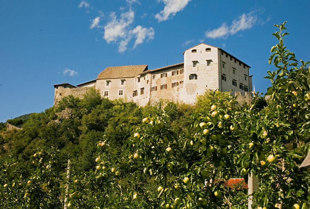
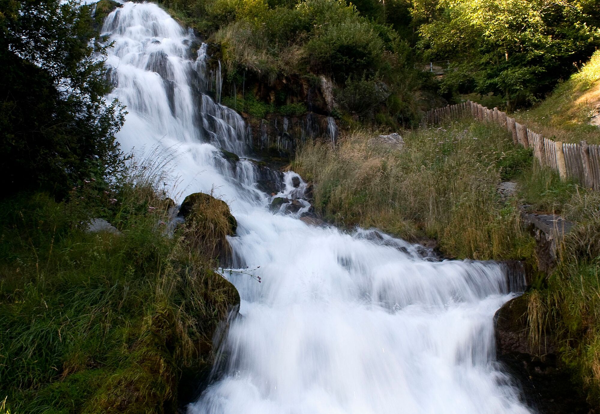
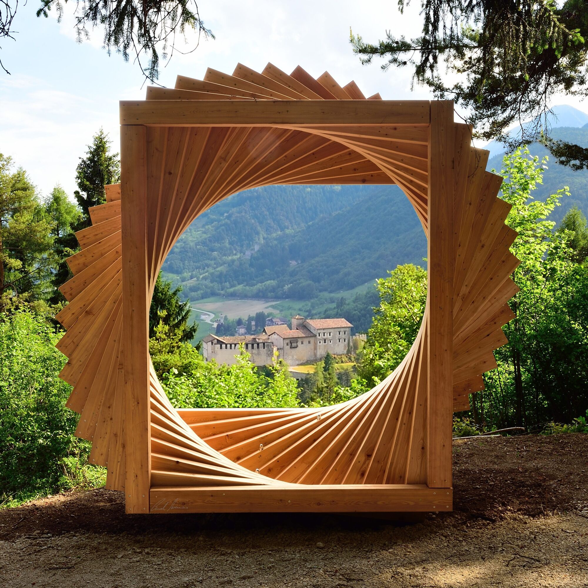

LOW ITINERARY - 5 DAYS
Madonna di Campiglio - Caderzone Terme: 22,5 km - Difference in altitude +150 m
Caderzone Terme - Saone: 19,6 km - Difference in altitude +250 m
Saone - San Lorenzo in Banale: 24 km - Difference in altitude +826m
San Lorenzo in Banale - Monte Terlago: 26,5 km - Difference in altitude +876m
Monte Terlago - Trento: 17,5 km - Difference in altitude +550m
Here travellers can find some ideas about how to organize their walk following the “classic” itinerary. They can choose between a 5 day route, for those who want to walk all day long, or two other options in 6 and 7 days, for those who want to take more time and enjoy some visits. Of course, hikers can customize the itinerary adapting it to their needs.
Da
You need to wear the right clothing and take the proper gear when you go hiking in the mountains. Even on relatively short easy outings make sure to take all you need so you don't run into trouble if things take an unexpected turn, for example a storm blows up or you have a sudden drop in energy levels.
What should you take when you go on a hike?
Your rucksack (for a day trip a 25/30L capacity should do) should contain:
water canteen (1L) snacks (e.g. mixed dried fruit or chocolate) First aid kit windproof jacket fleece change of t-shirt and socks (in a plastic bag) make sure to wear or at least bring a pair of long trousers hat sun screen sunglasses gloves whistle to attract attention in an emergencyMake sure you're wearing the right footwear for the trail and season. The going can get rough and rocky underfoot and a pair of hiking boots will protect you from sprains. When wet, a grassy slope, rocky slab or steep trail can be dangerous unless you are wearing the proper footwear.
And finally... don't forget to bring your camera! You'll need it to capture the stunning views you come across all over Garda Trentino. And if you like, you can share your memories with us at #GardaTrentino.
Emergency telephone number 112.
Safety Tips
Choose itineraries that suit your physical and technical abilities. Collect information about the area you are visiting and the trail’s conditions and get a detailed trekking map. Wear clothes and take equipment that suit the difficulty and length of your tour. Keep emergency gear in your rucksack, including first aid supplies. Do not go walking alone in the mountains. In any case, tell someone where you are going and report back on returning. Look at the weather forecast before setting off and always keep an eye on the weather. In case of doubt, go back. It is better to give up than risk bad weather or face difficulties beyond your strength, ability and equipment. Do not leave marked paths and do not take shortcuts. All described walks are in a natural environment and therefore their use is at your own risk.This information is subject to inevitable variations, so none of these indications are absolute. It is not entirely possible to avoid giving inexact or imprecise information, given how quickly environmental and weather conditions can change. For this reason, we decline any responsibility for changes which the user may encounter. In any case, it is advisable to check environment and weather conditions before setting out.
From Riva del Garda take the SS421 towards Fiavé. Then continue to Ponte Arche and take the SS237 to Tione di Trento, and at the roundabout follow the SS239 towards Madonna di Campiglio.
Find out how to reach Garda Trentino.
Madonna di Campiglio is connected by the intercity bus lines 211 (Riva del Garda - Tenno - Fiavè - Ponte Arche) and 201 (Trento - Ponte Arche - Campiglio – Tione) to the other places in Garda Trentino.
Parking in Via Monte Spinale, close to Campiglio Lake.
Spletne kamere s turneje
Express Groste 1 / Nube d´Argento
Passo Grostè da Funivia 5 Laghi
Madonna di Campiglio - Grostè seggiovia
Madonna di Campiglio da Pradalago
Cima Paganella
Cima Paganella
Cima Paganella
Cima Paganella
Cima Paganella
Cima Paganella
Cima Paganella
Cima Paganella
Cima Paganella
Madonna di Campiglio - Pradalago
Madonna di Campiglio - Spinale
Madonna di Campiglio - Spinale
Piazza Brenta Alta
Madonna di Campiglio - Patascoss
Canalone Miramonti - 3tre Ski World Cup
Trient
Madonna di Campiglio - Patascoss
Madonna di Campiglio - Patascoss
Madonna di Campiglio - Patascoss
Madonna di Campiglio - Patascoss
Andalo - Paganella
Andalo - Dosson
Andalo - Meriz
Tulot - Pinzolo
Sessellift Nube d´argento
Sessellift Nube d´argento
Sessellift Nube d´argento
Doss del Sabion
Doss del Sabion
Doss del Sabion
Doss del Sabion
Doss del Sabion
Doss del Sabion
Pridobite vpogled Vedno v živo na mestu z več kot 9.500 spletnimi kamerami. bergfex Kot uporabnik Pro si lahko zdaj ogledate ustrezne spletne kamere za številne izlete v aplikaciji izleti iz. Tako si lahko neposredno ogledate trenutne razmere. Priljubljeni izleti v okolici
- 5,0
Via Ferrata Signora delle Acque - Rio Ruzza
težkoVia ferrata 5,32 km - 4,5
Lakes Cycle Path: Torbole – Sarche
srednjaKolesarjenje 24,8 km - 4,2
Sentiero dell'Anglone + Sent. Scaloni (A/B)
Via ferrata 7,01 km - 4,2
Malga Movlina and Rifugio XII Apostoli
srednjaPohodništvo 11,5 km - 5,0
Via Ferrata Rino Pisetta - Dain Piccolo
težkoVia ferrata 5,89 km - 4,4
The Calavino Water Channel
srednjaPohodništvo 3,79 km - 3,7
Marocche Nature Reserve
srednjaPohodništvo 6,01 km - 3,5
Rifugio Selvata
srednjaPohodništvo 12,1 km - 5,0
Monte Misone
srednjaMountainbike 25,5 km - 4,7
4.The Sarca Valley and Lake Cavedine: from Arco to Sarche
svetlobaKolesarjenje 36,6 km
Pohodništvo in sledenje


Ne zamudite ponudb in navdiha za naslednje počitnice
Vaš e-poštni naslov je bil dodan na poštni seznam.





