







Garda Trek - Top Loop: The crown of Garda Trentino

Stopnja težavnosti: T3
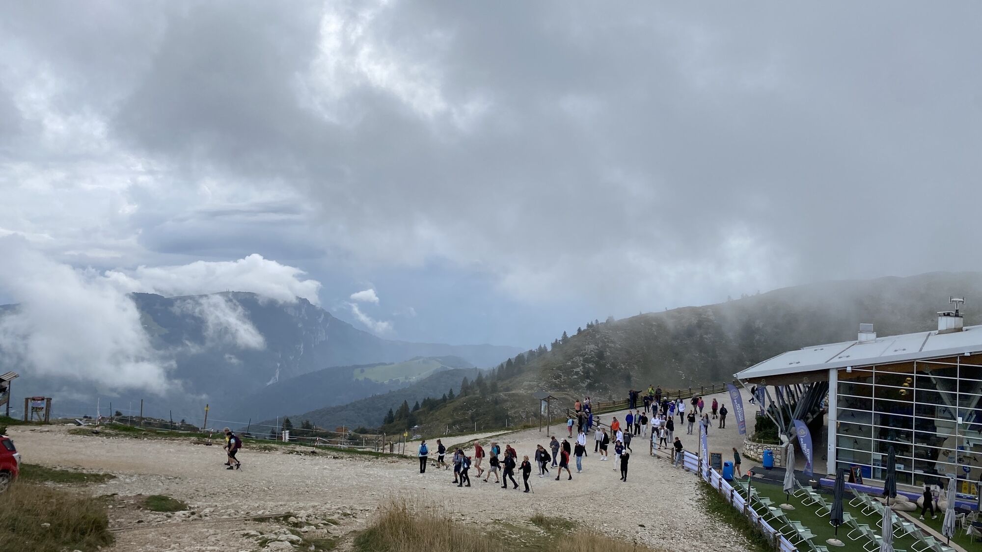
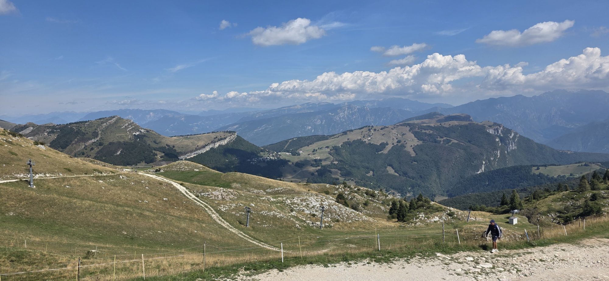
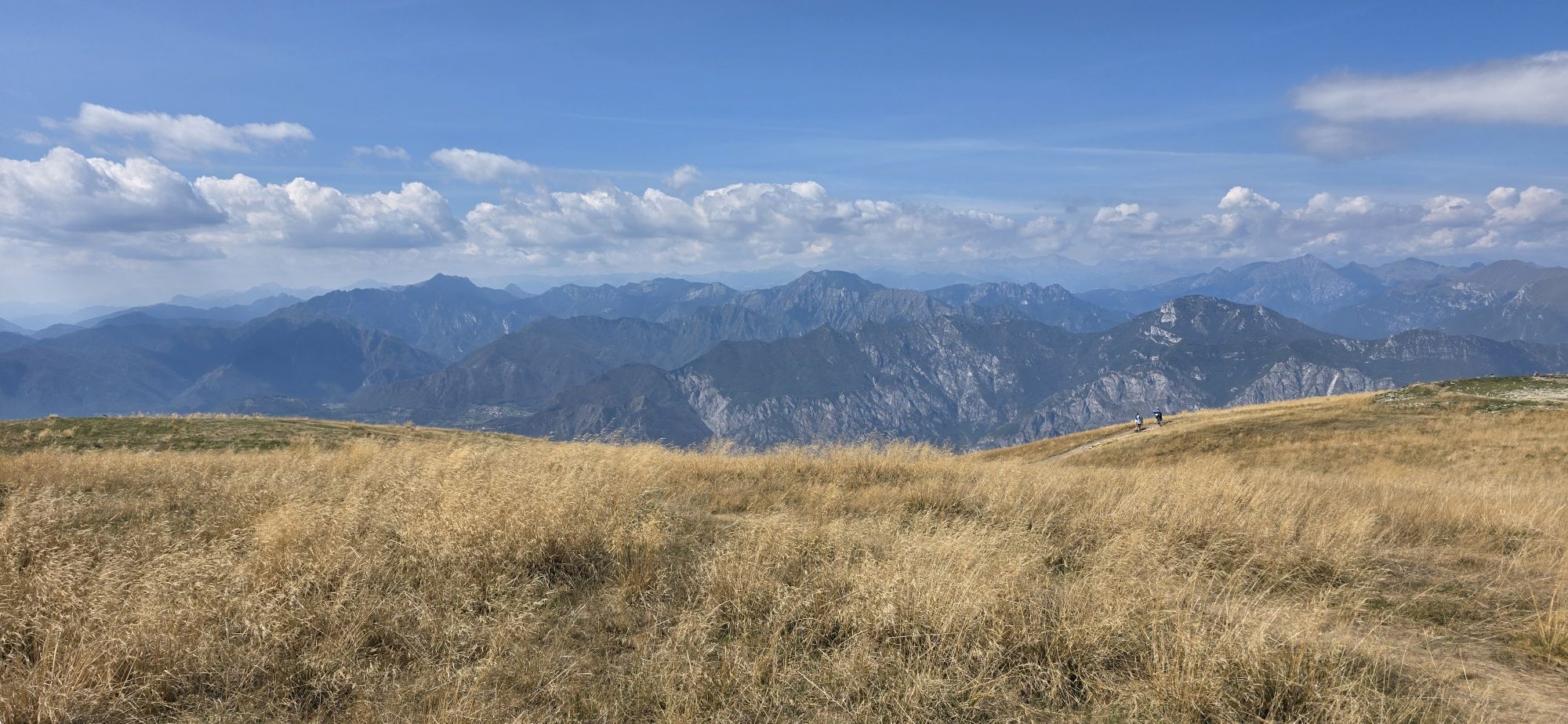
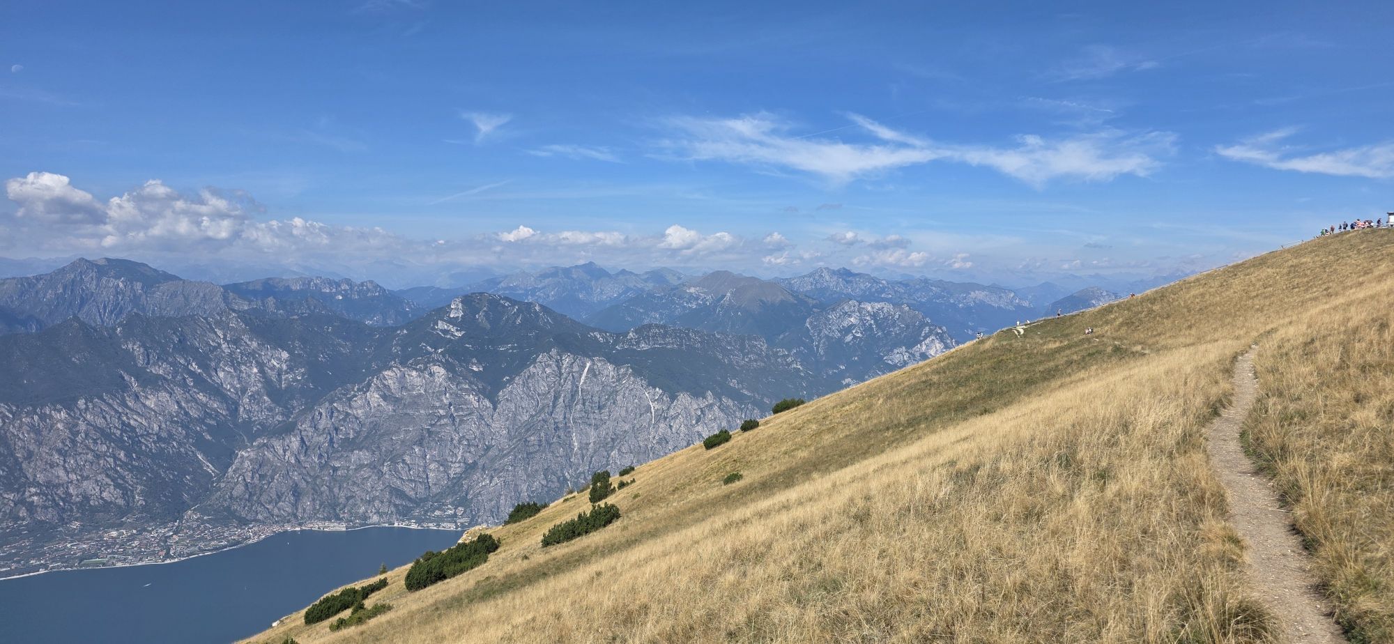
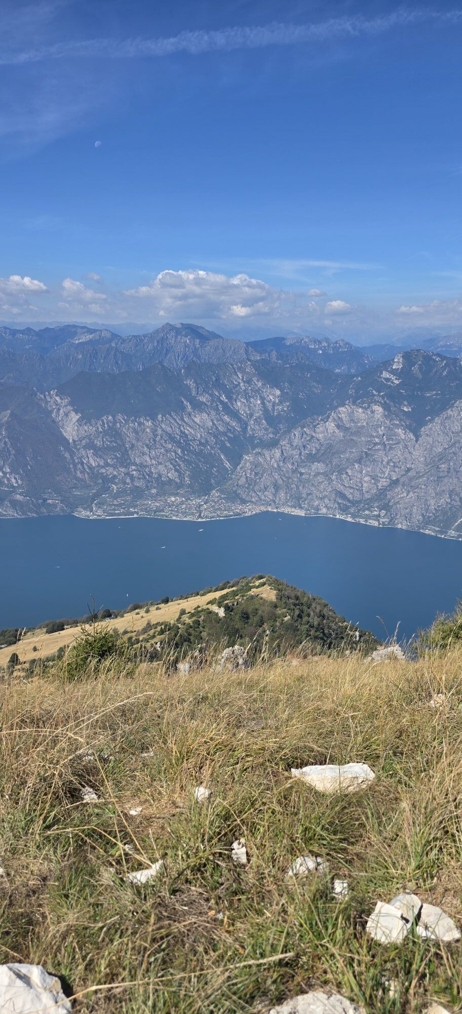
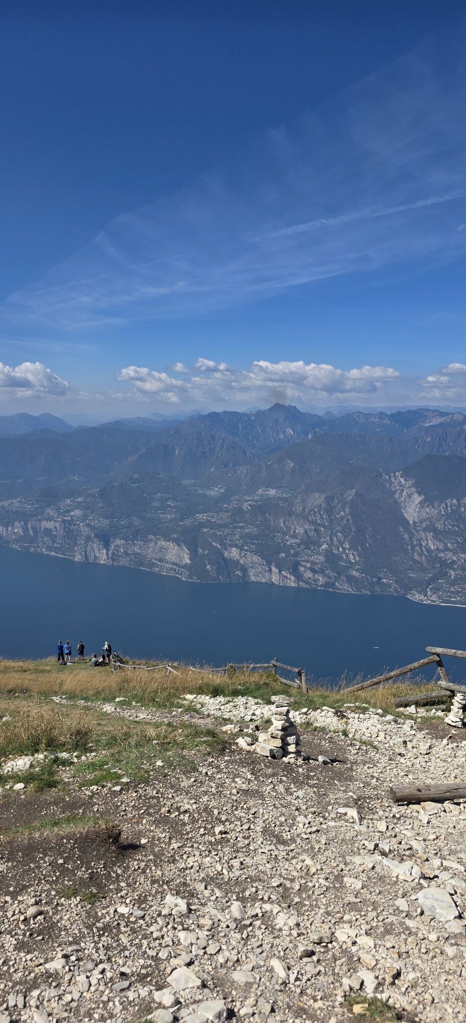
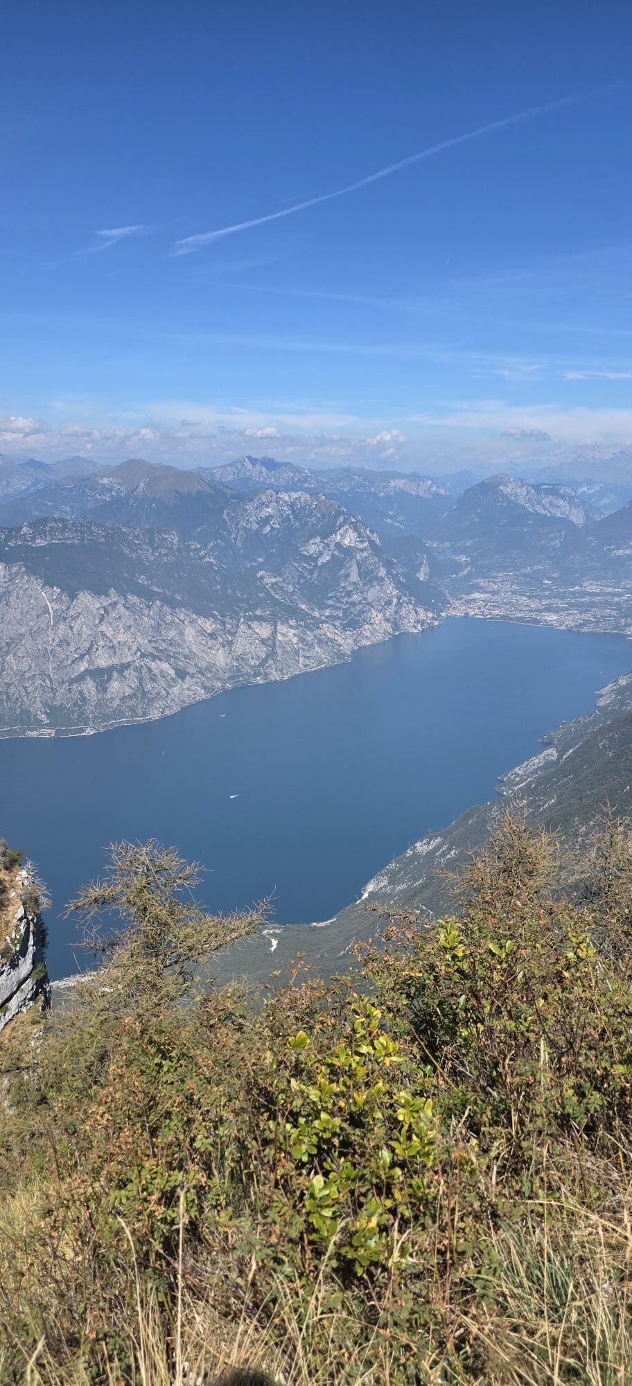
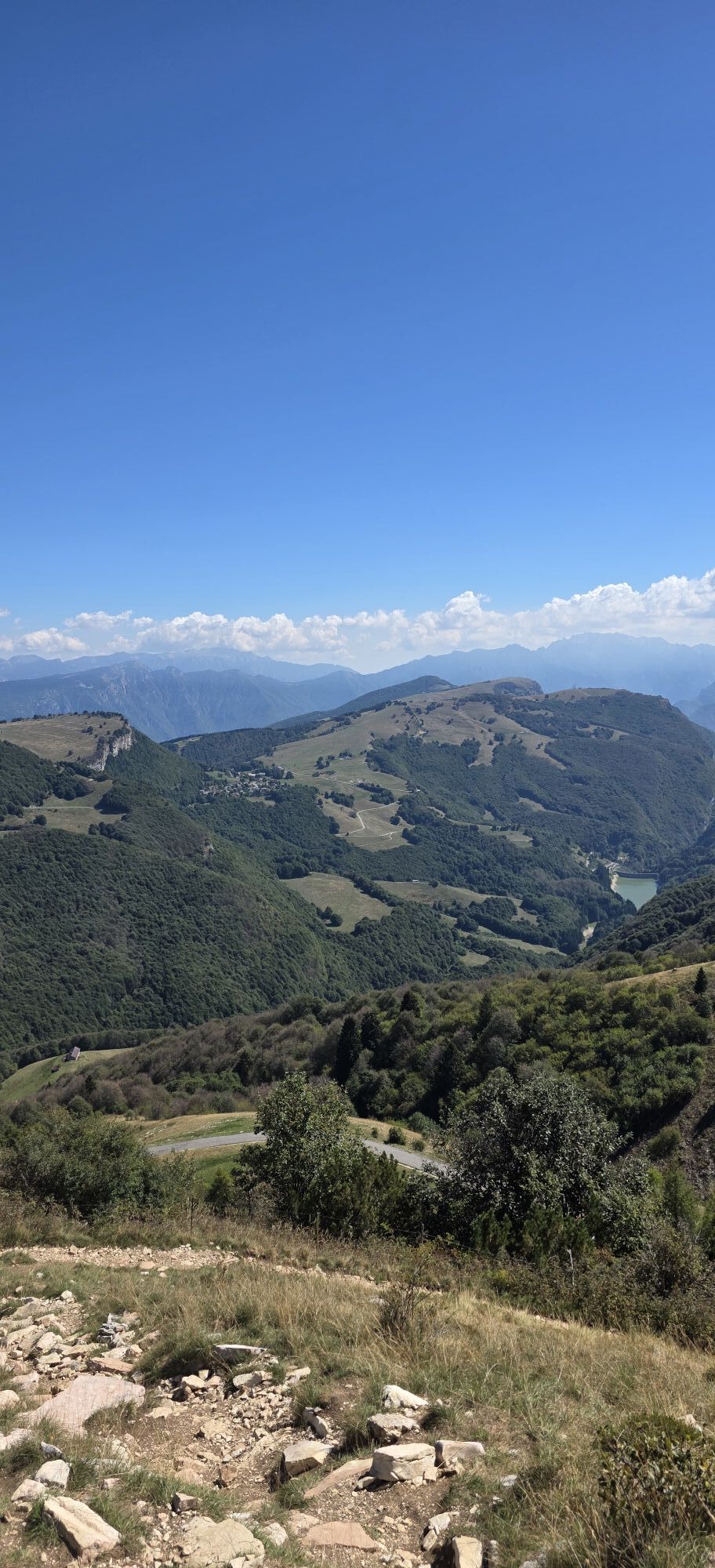
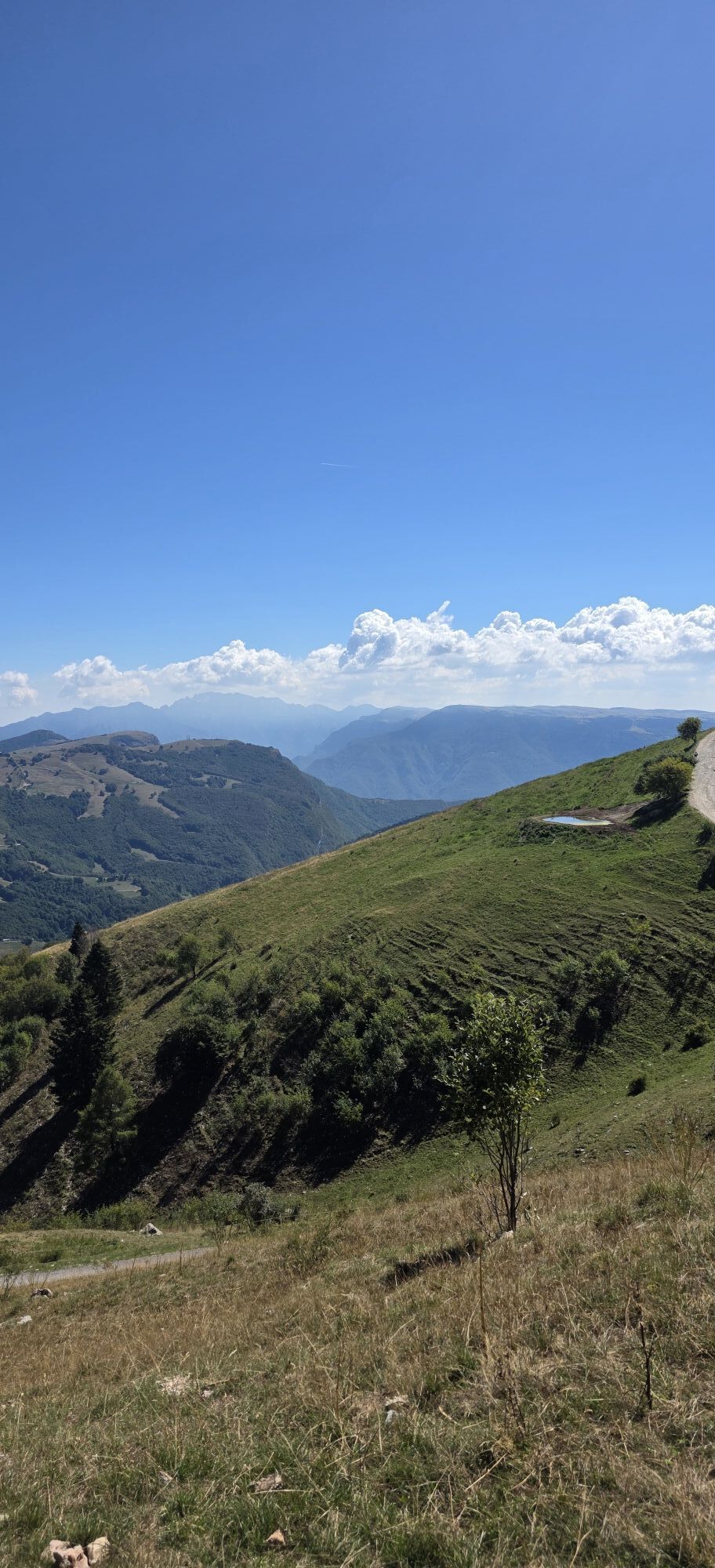
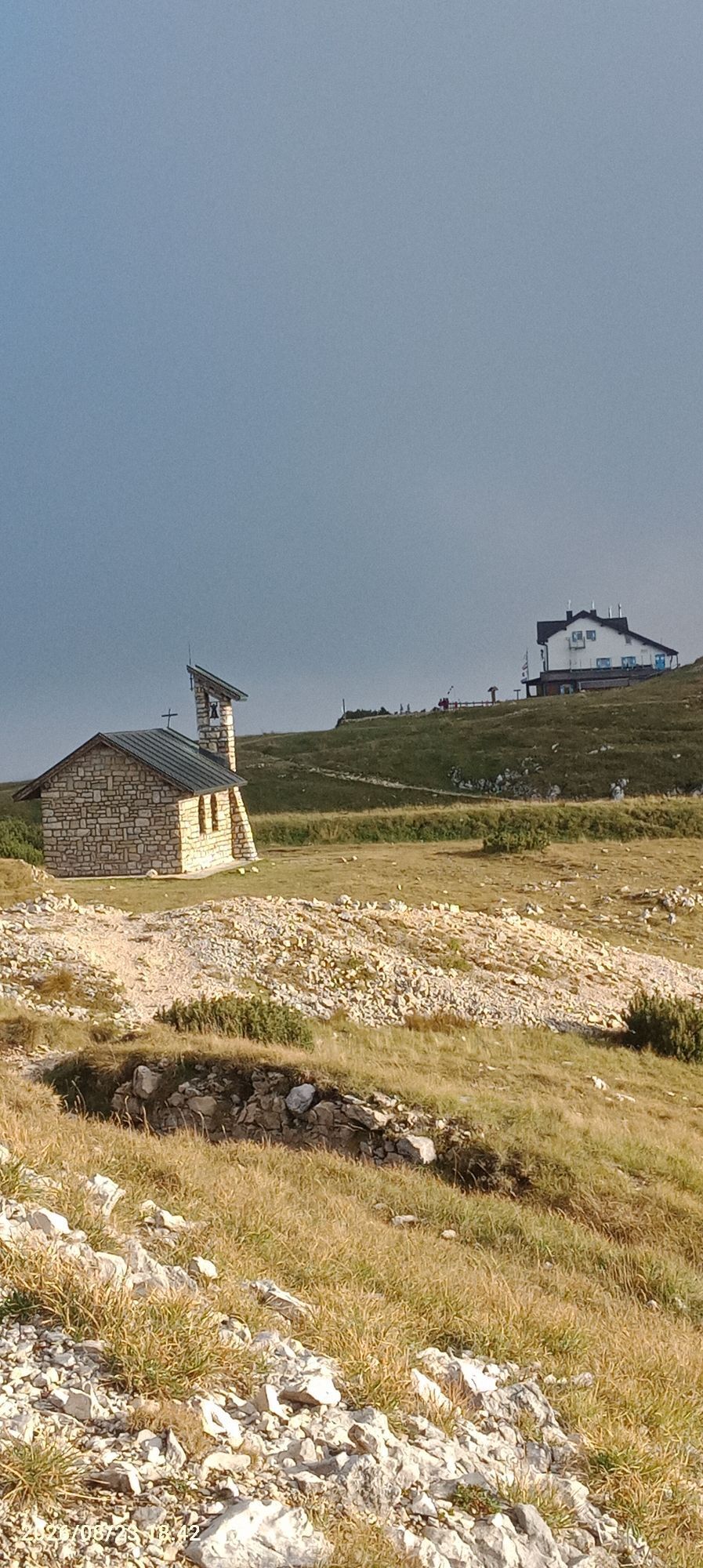
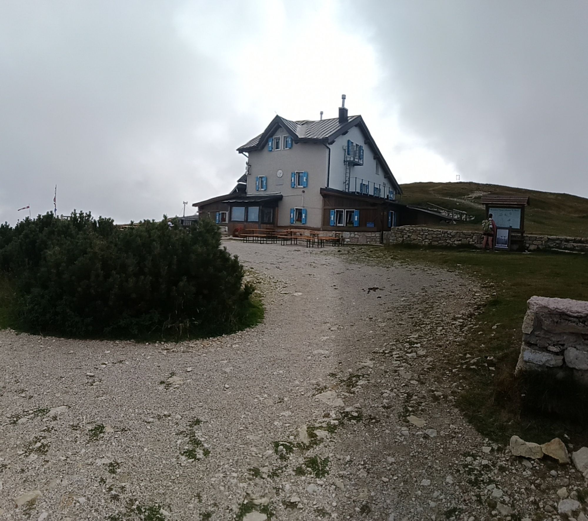
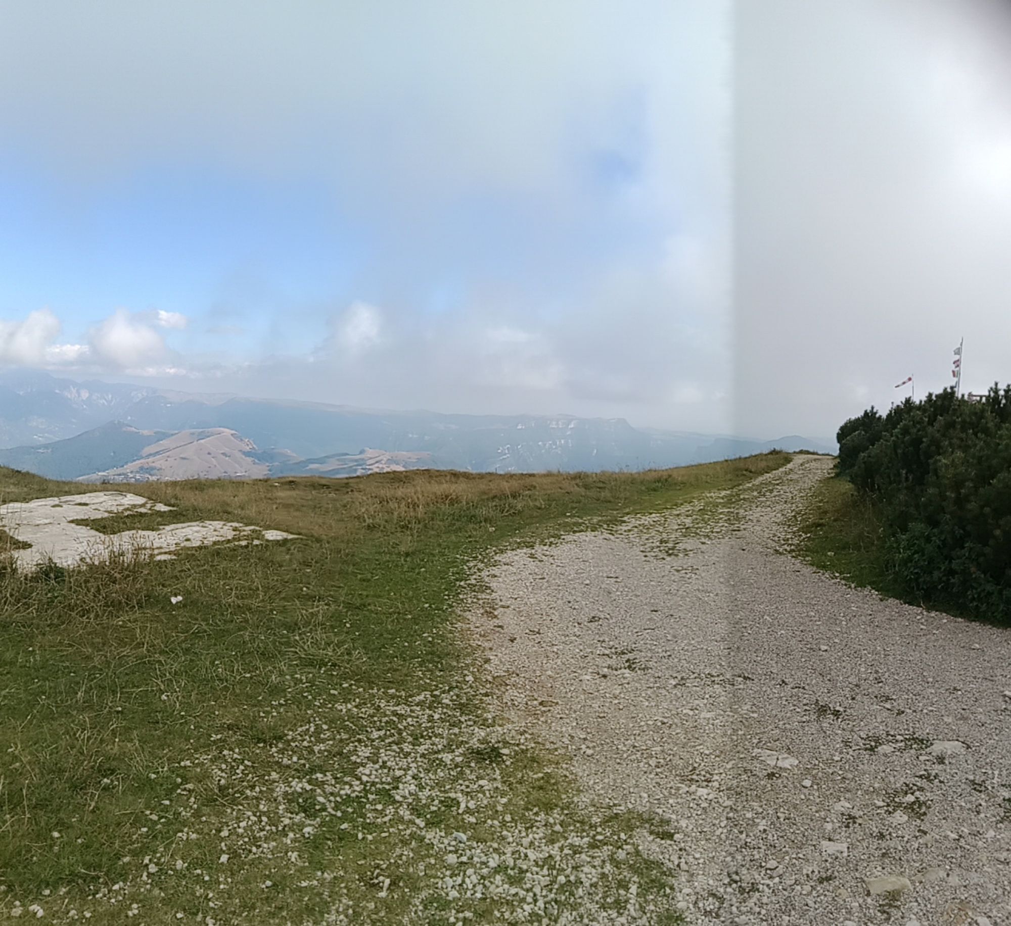
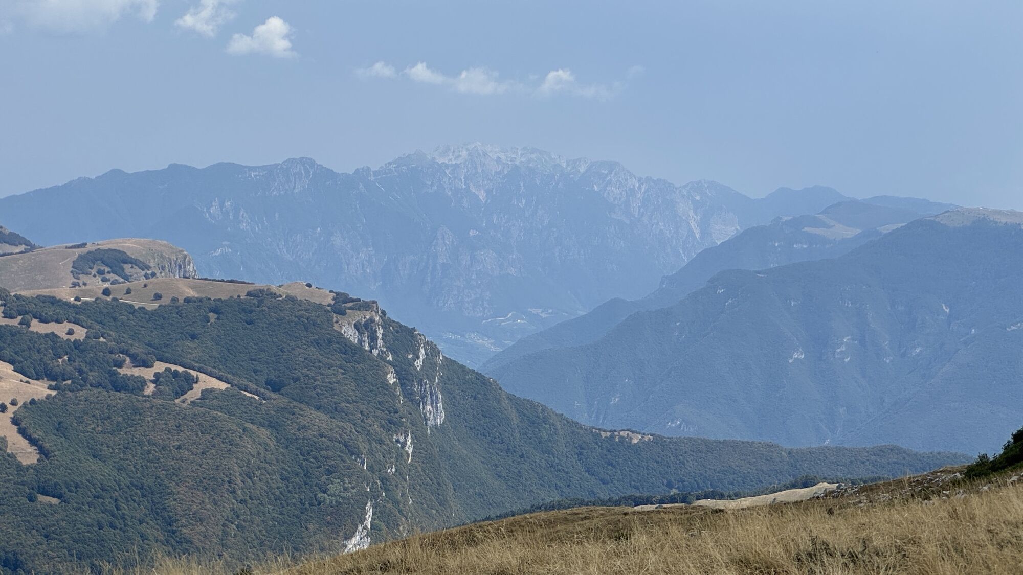
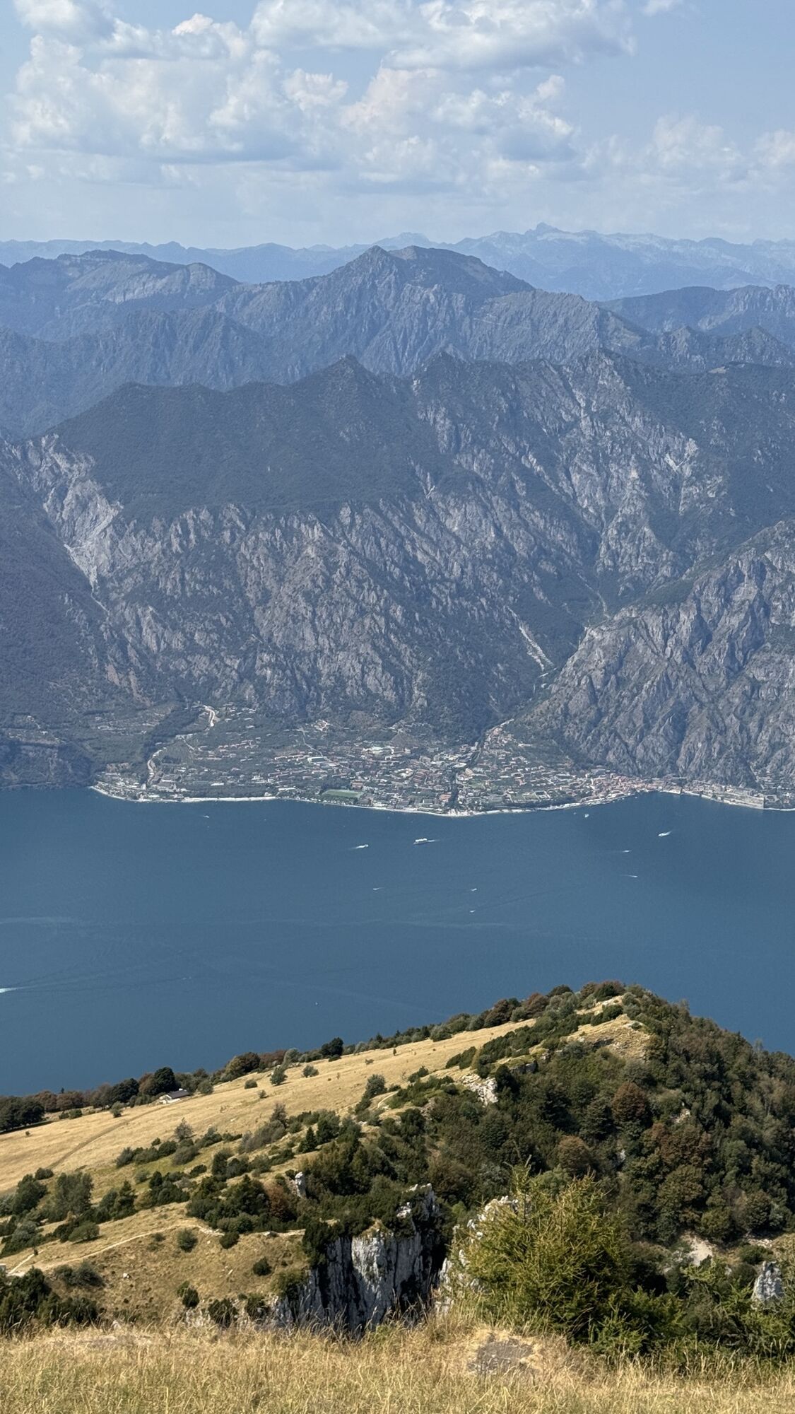
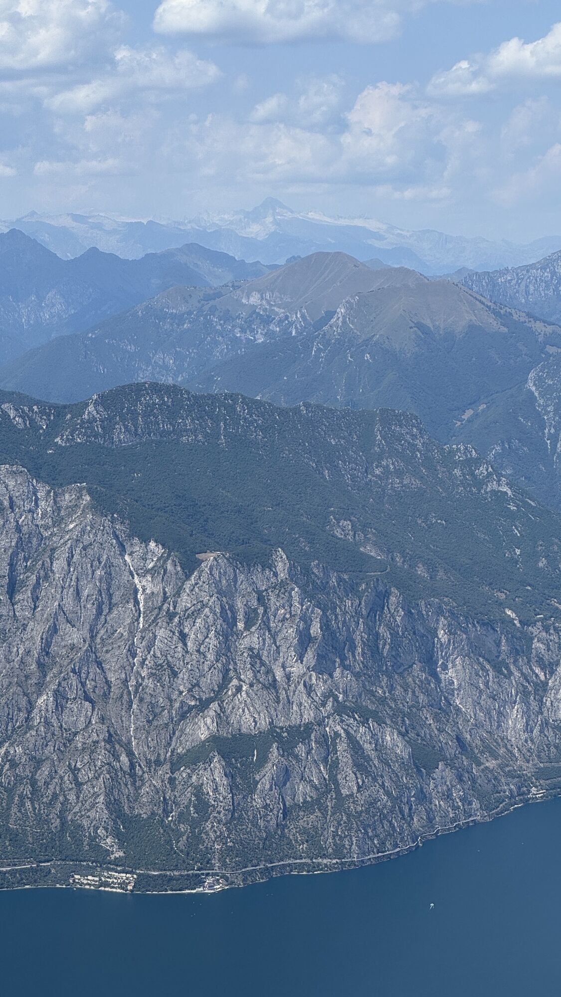
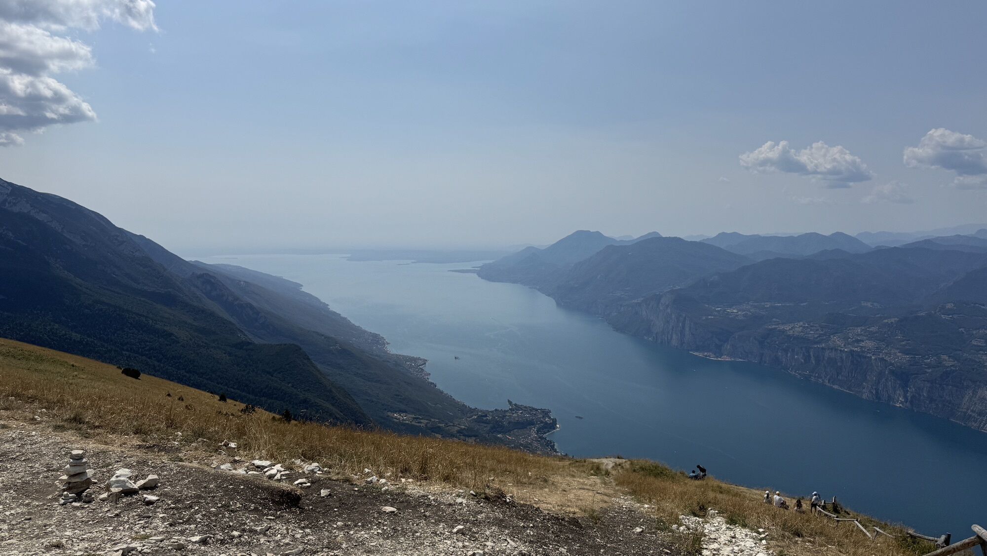
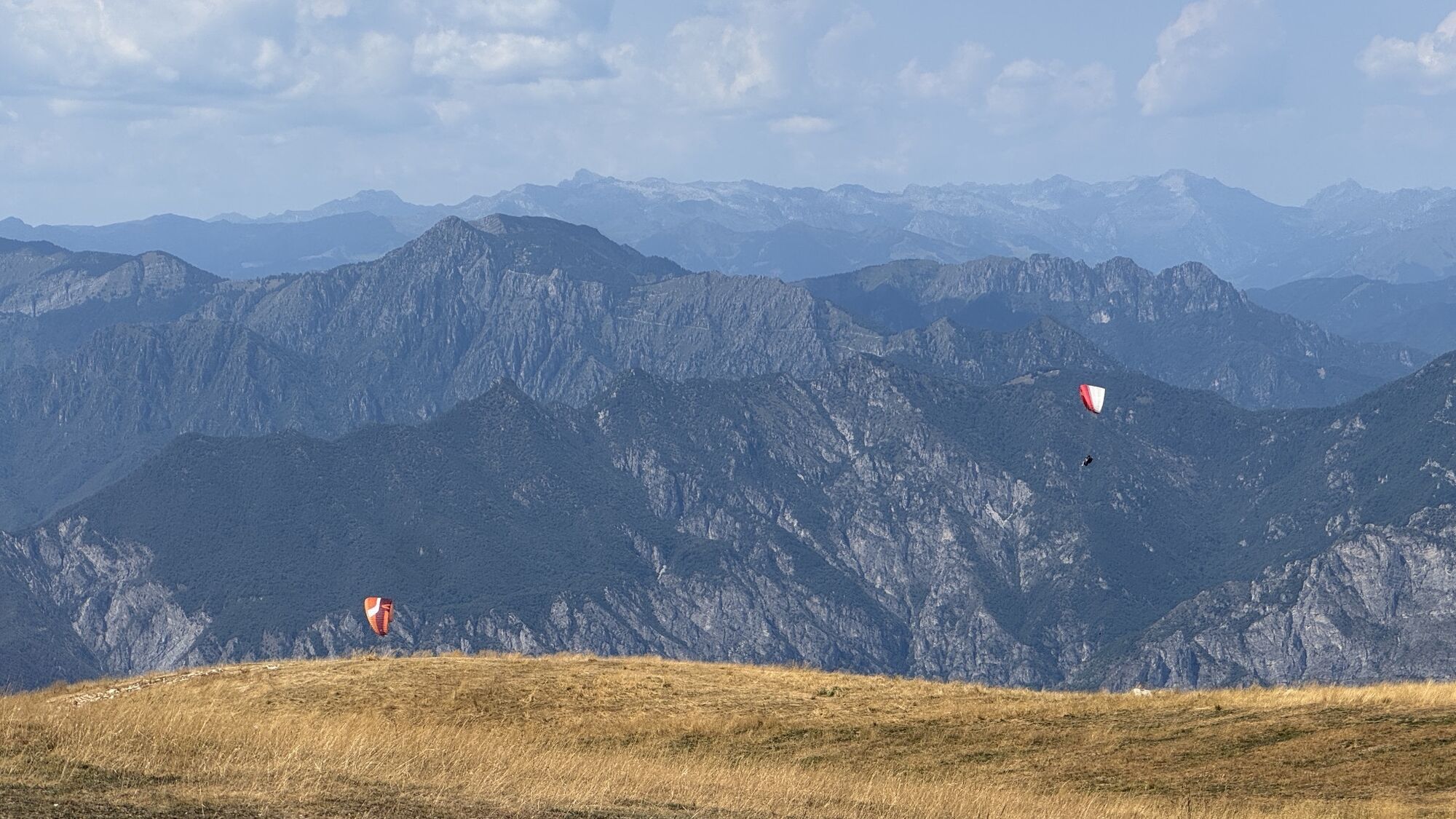
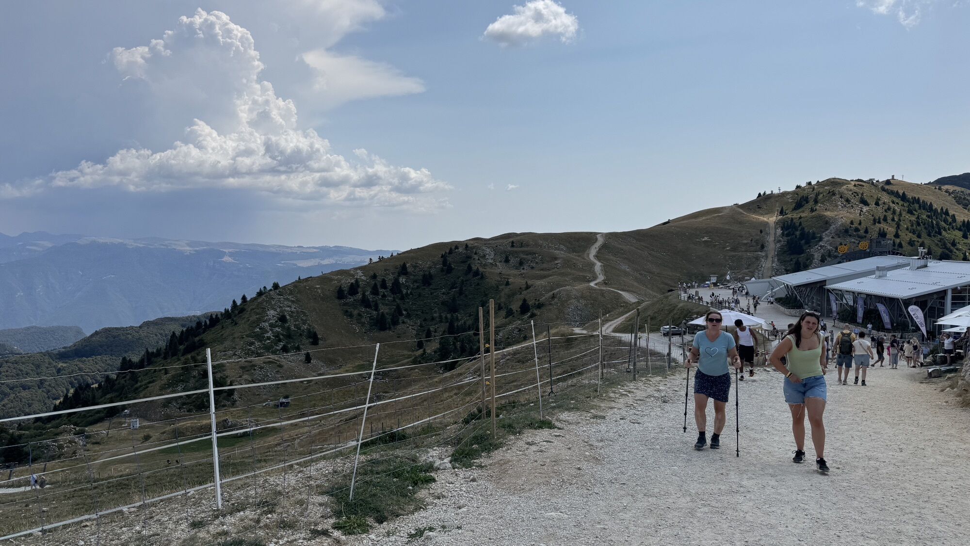
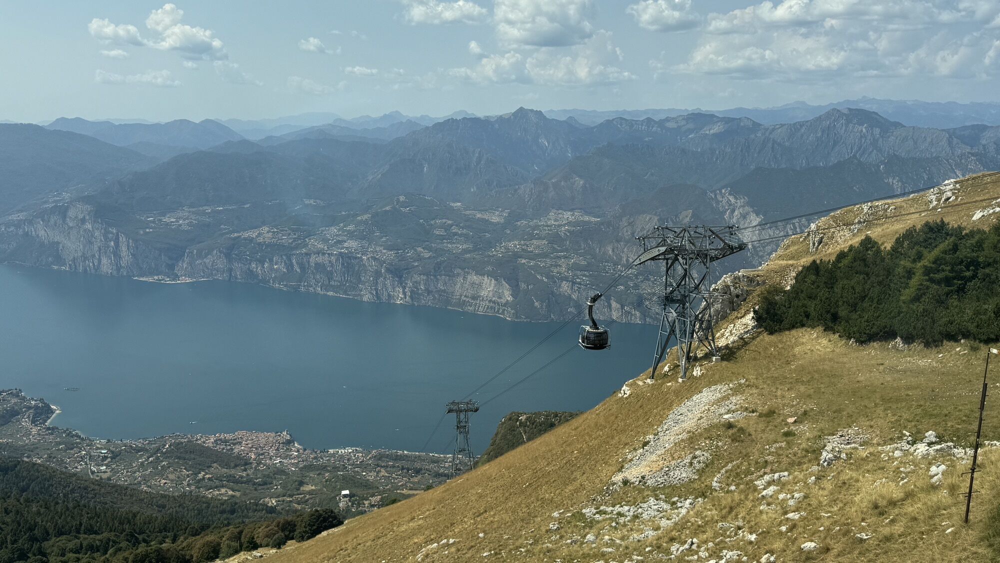
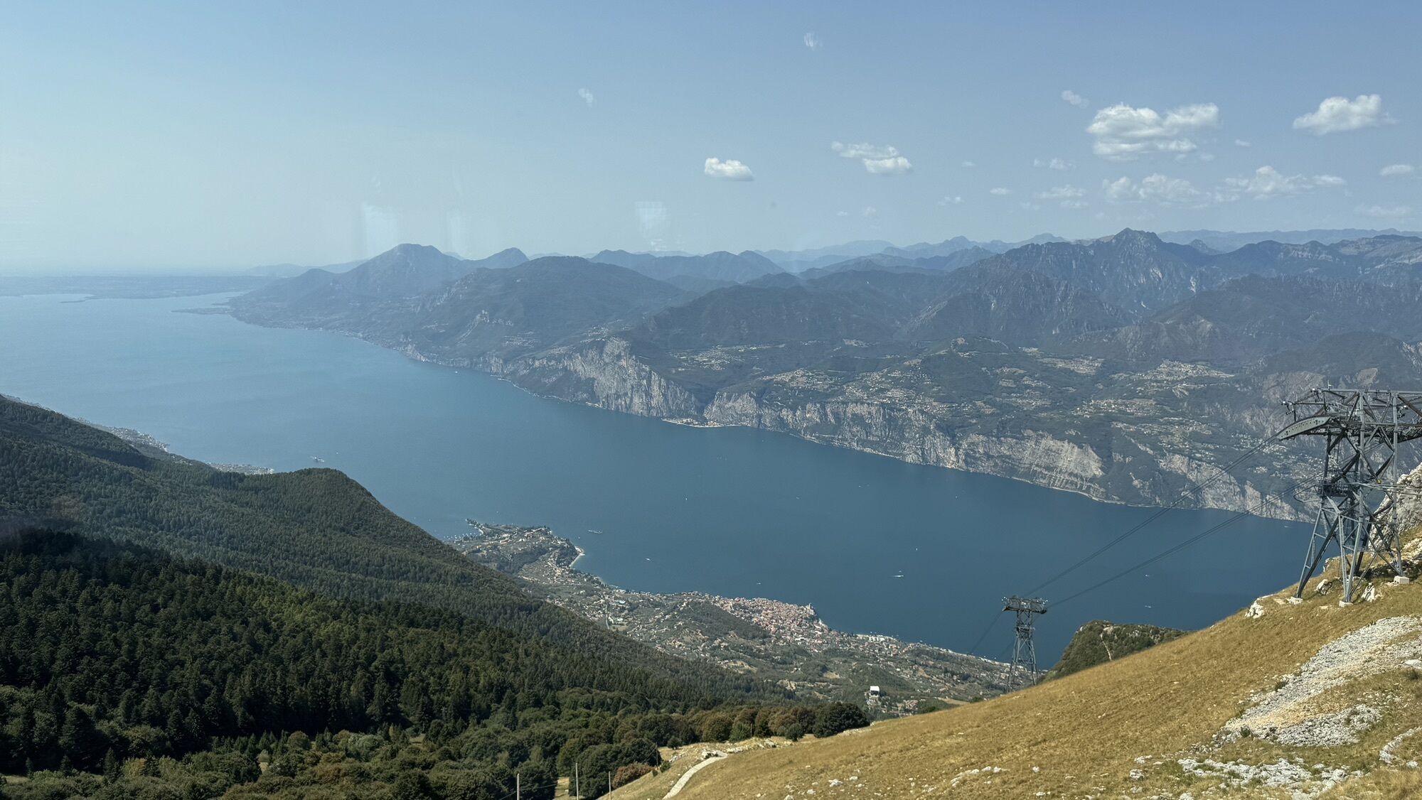
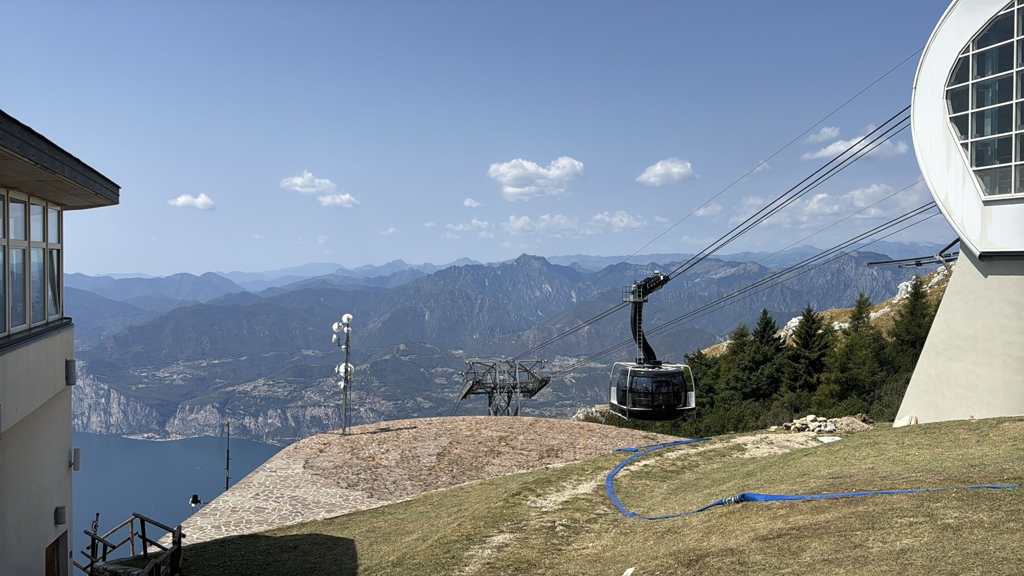
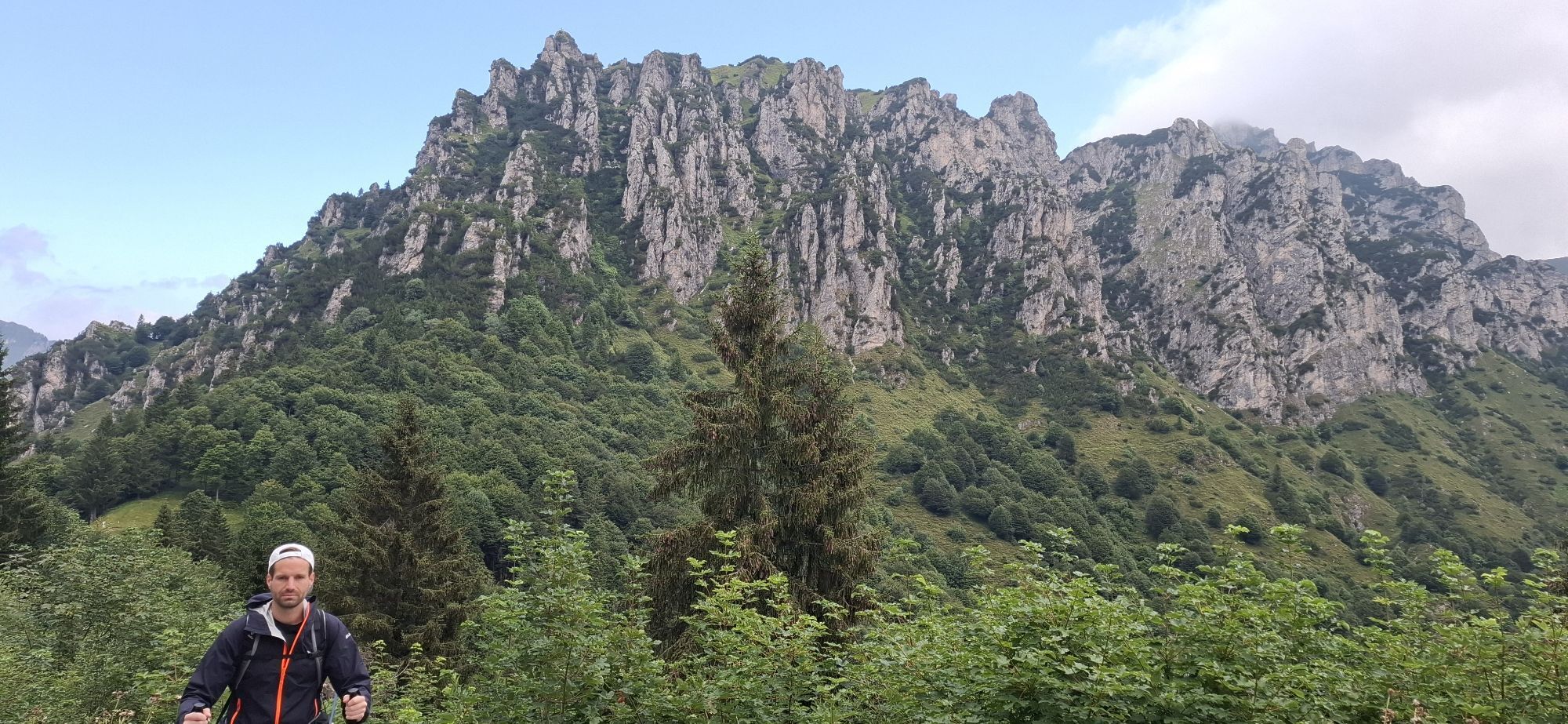
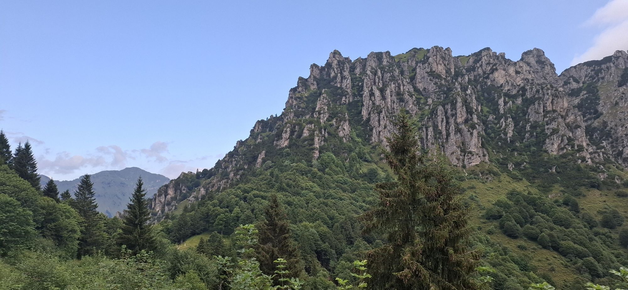
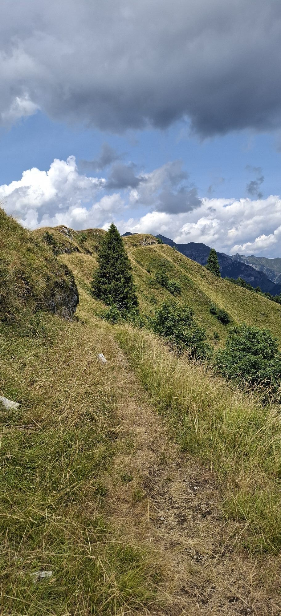
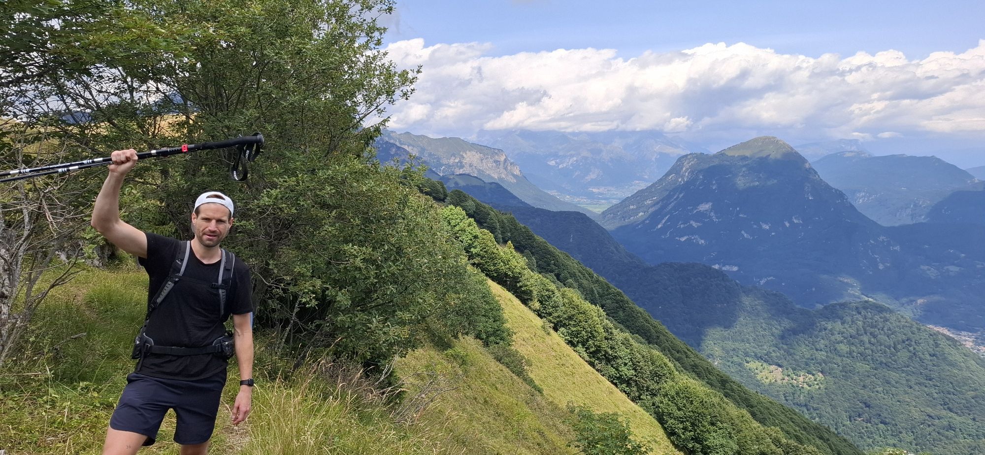
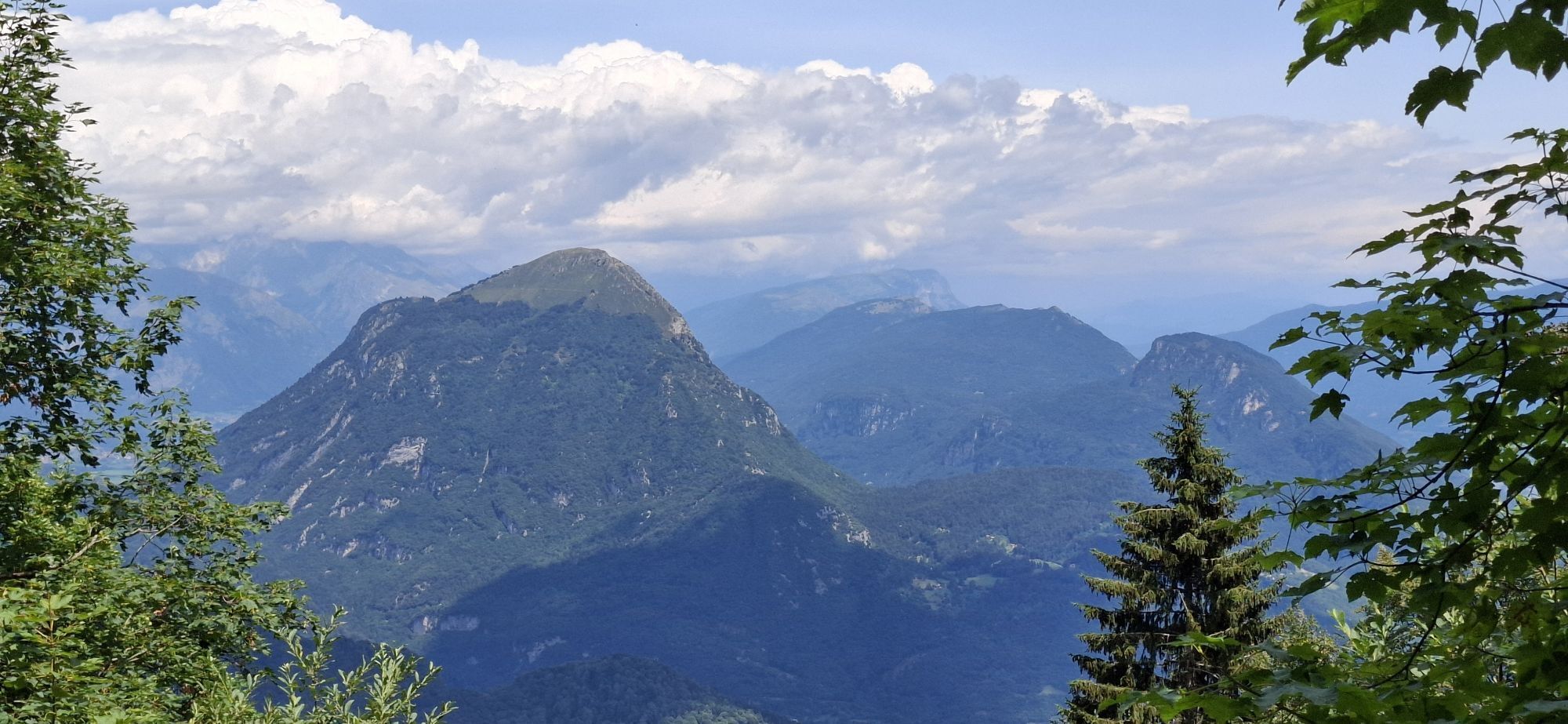
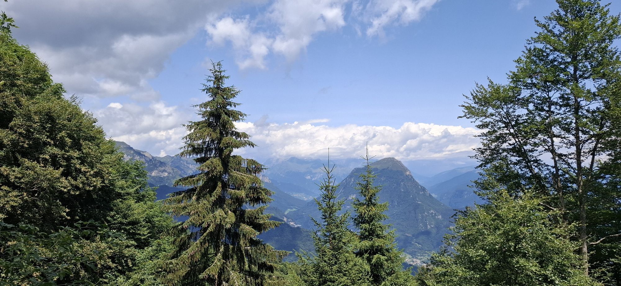
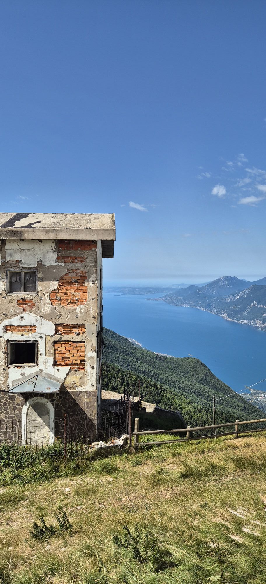
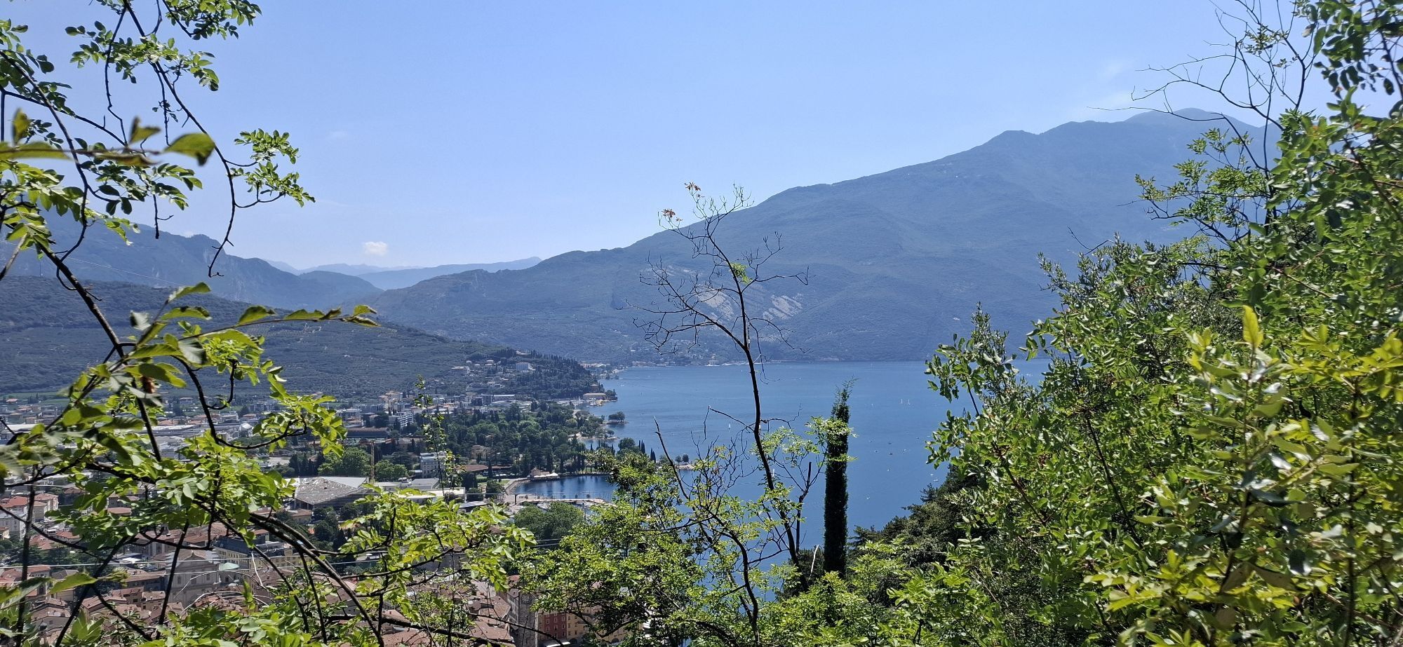
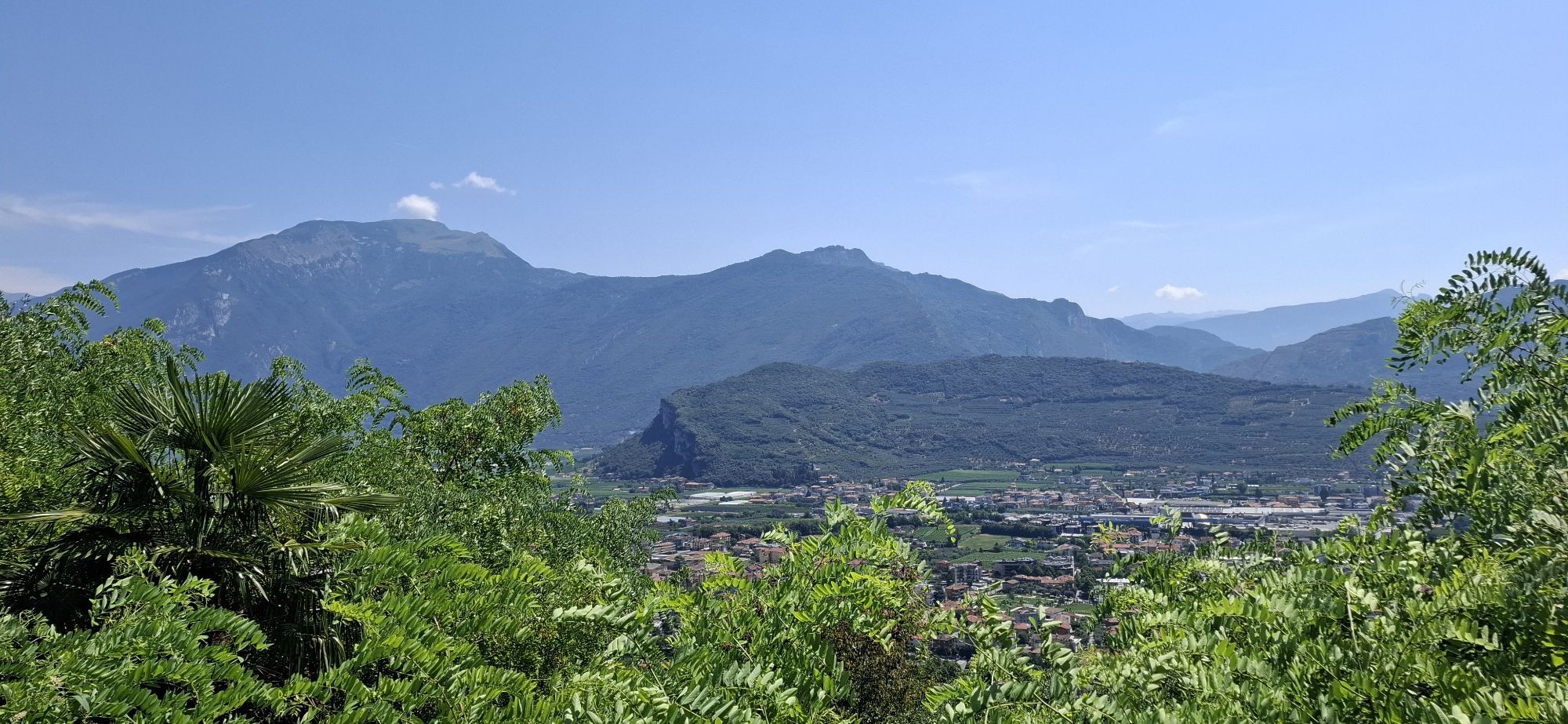
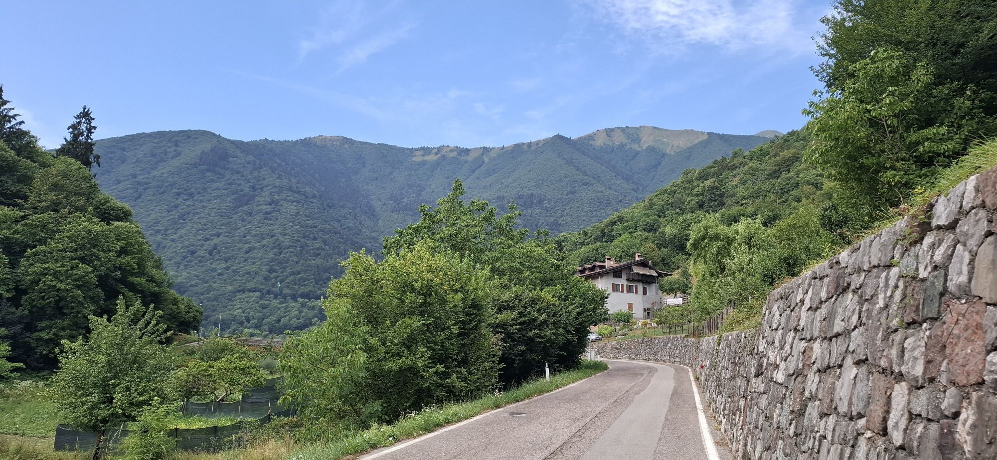
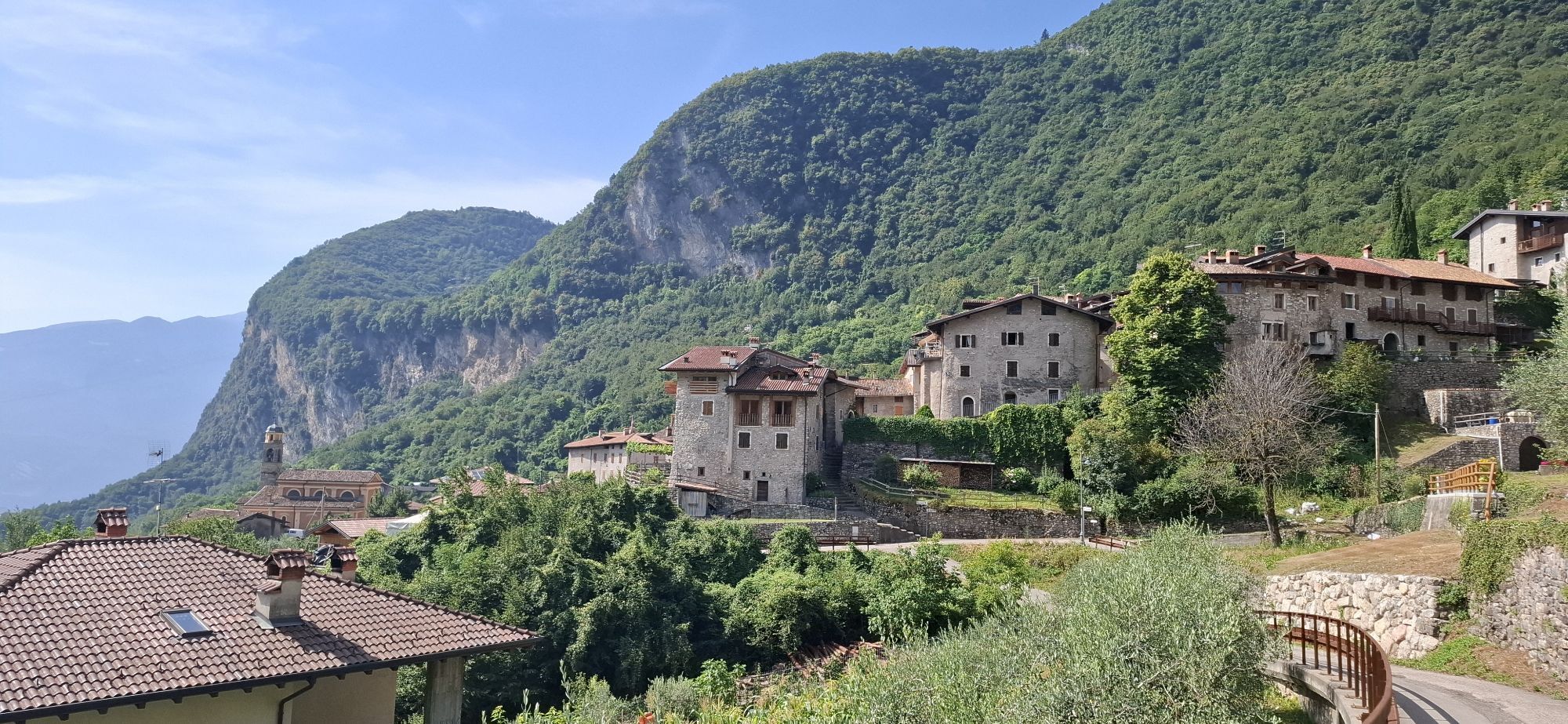
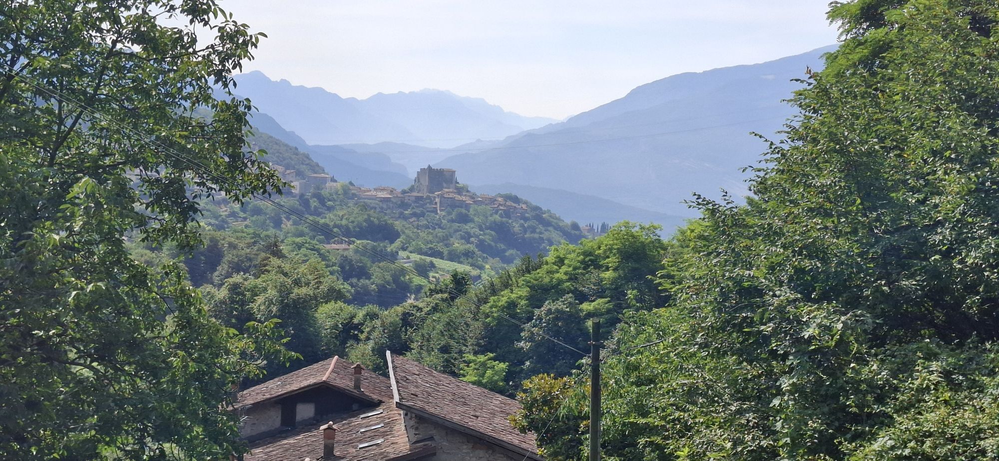
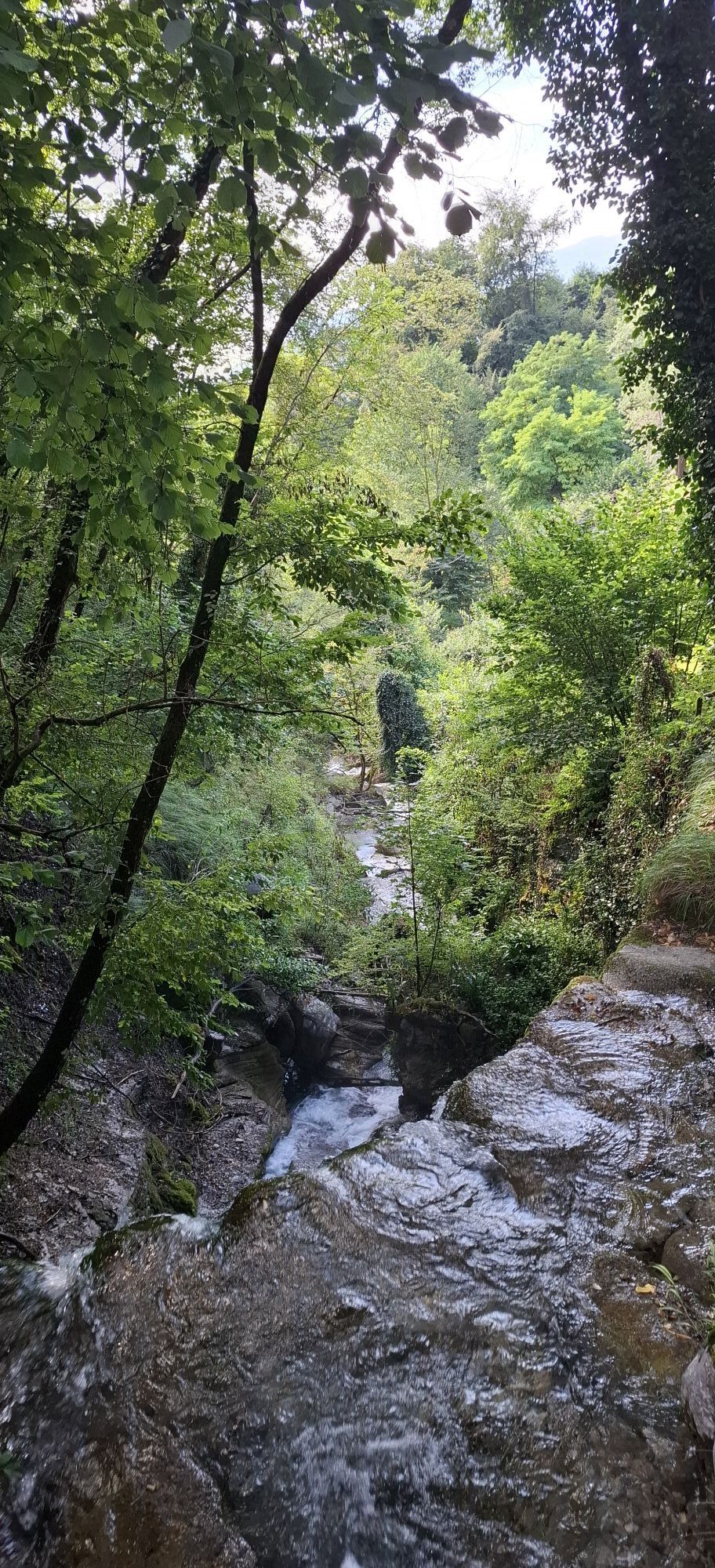
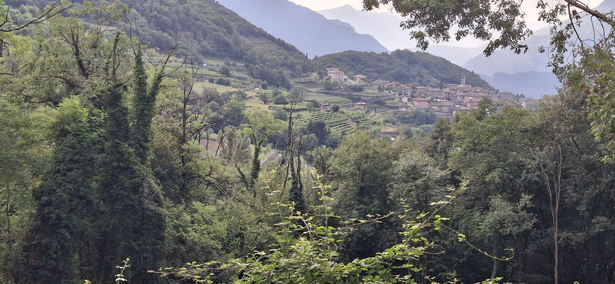
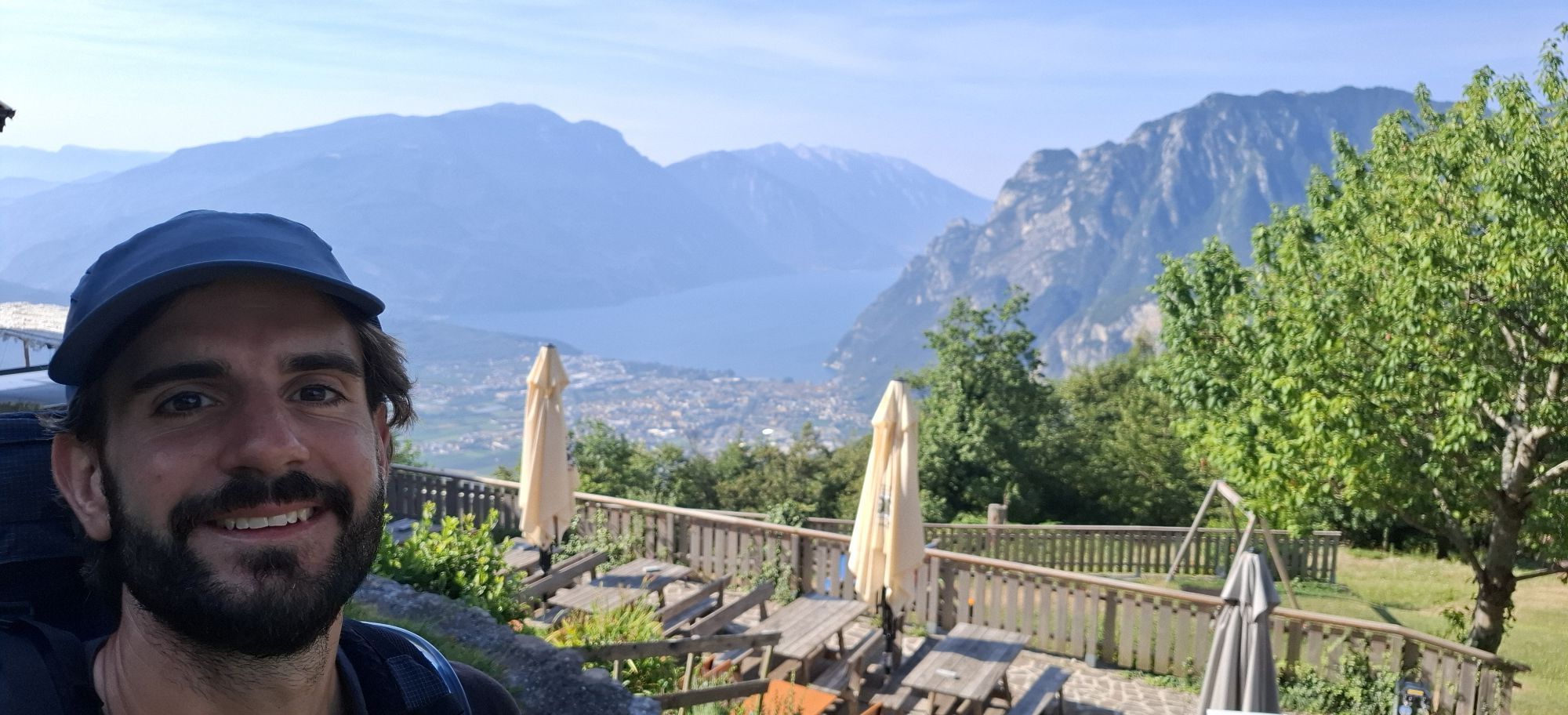
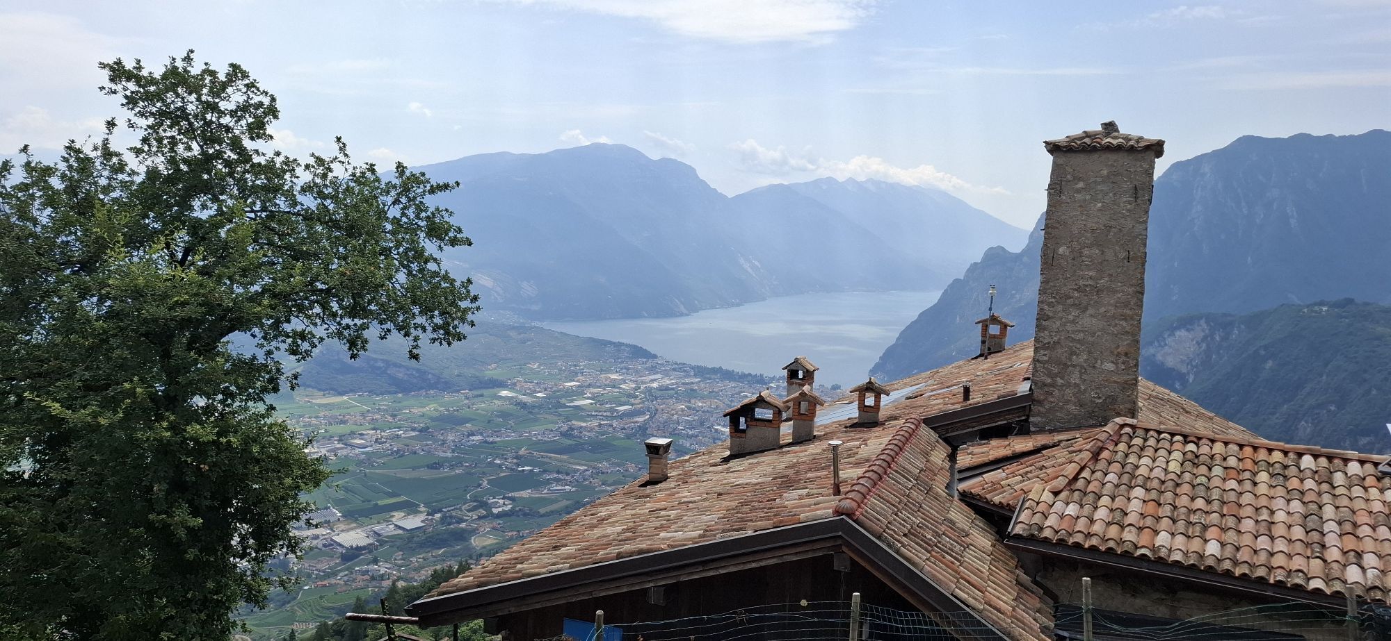
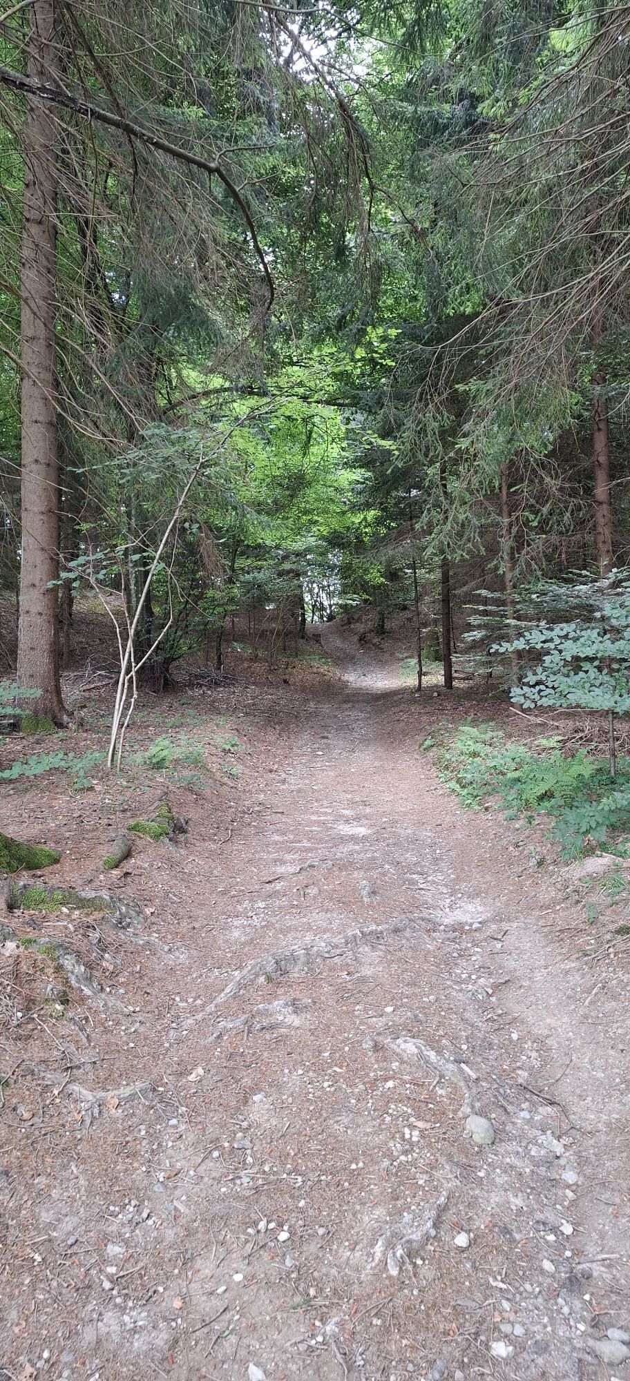
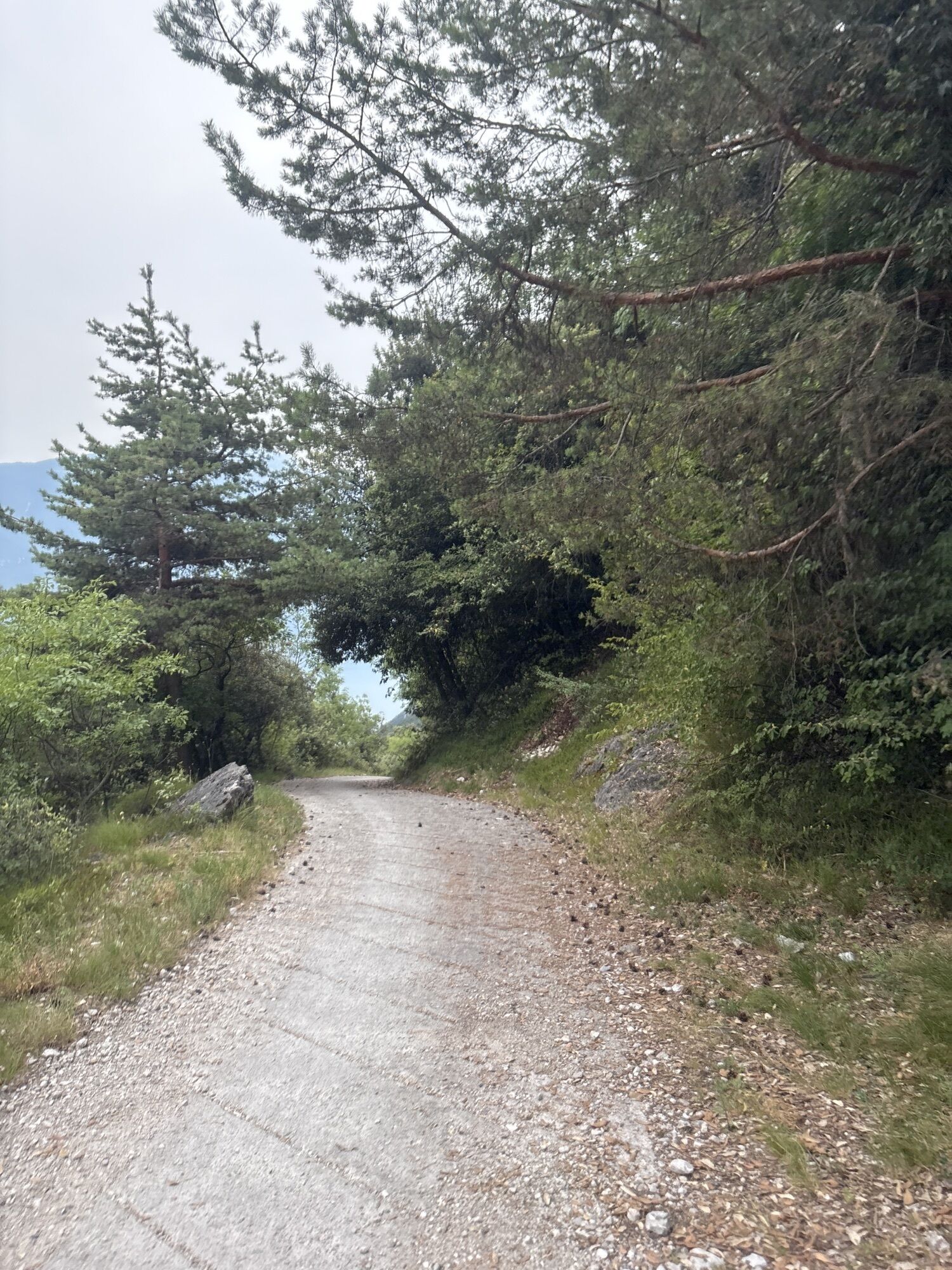
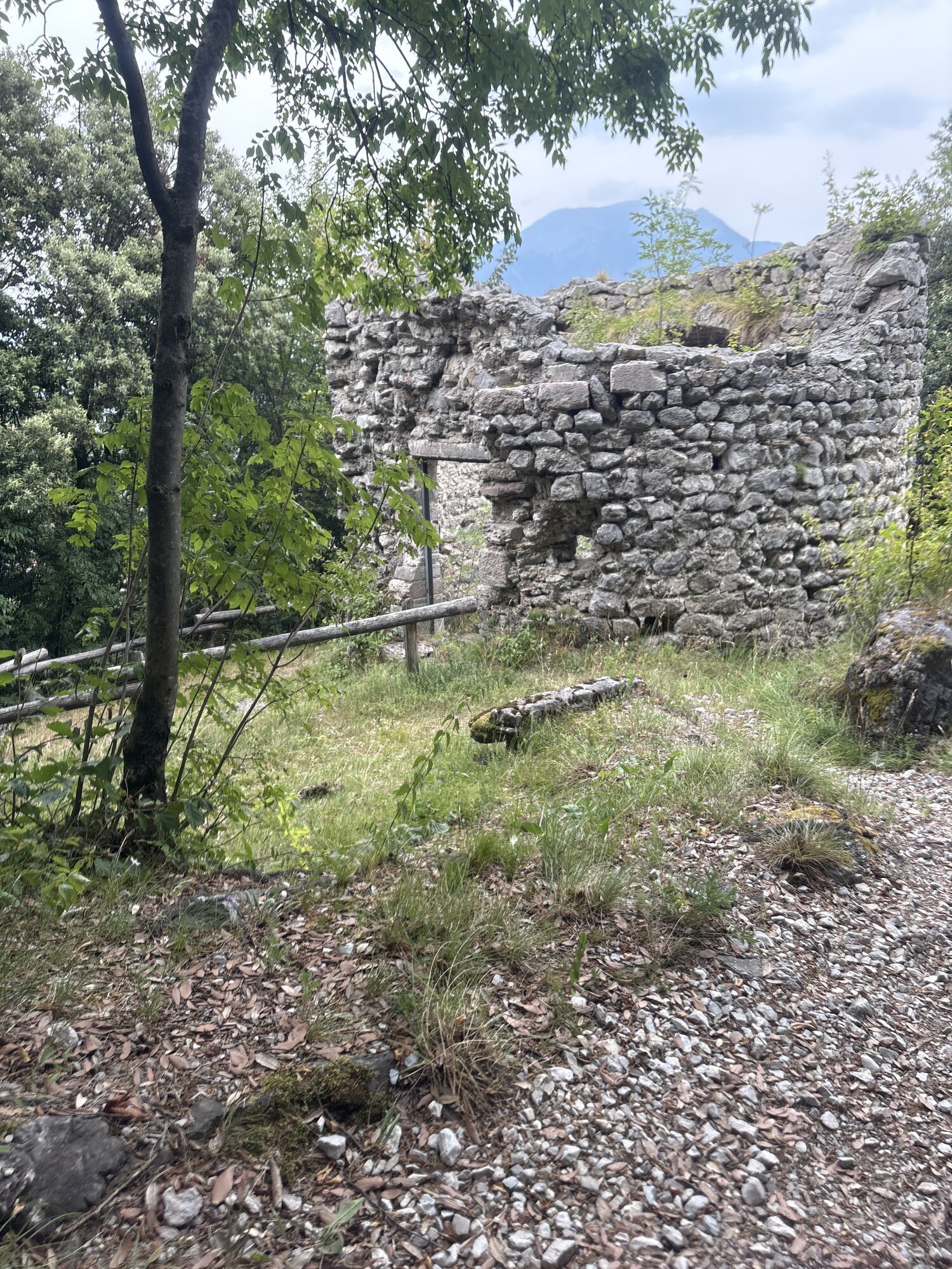
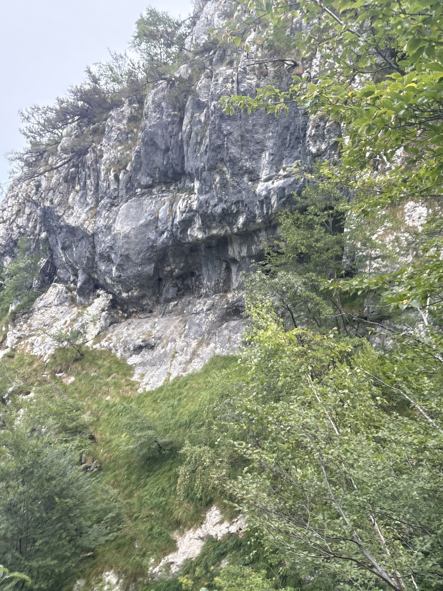
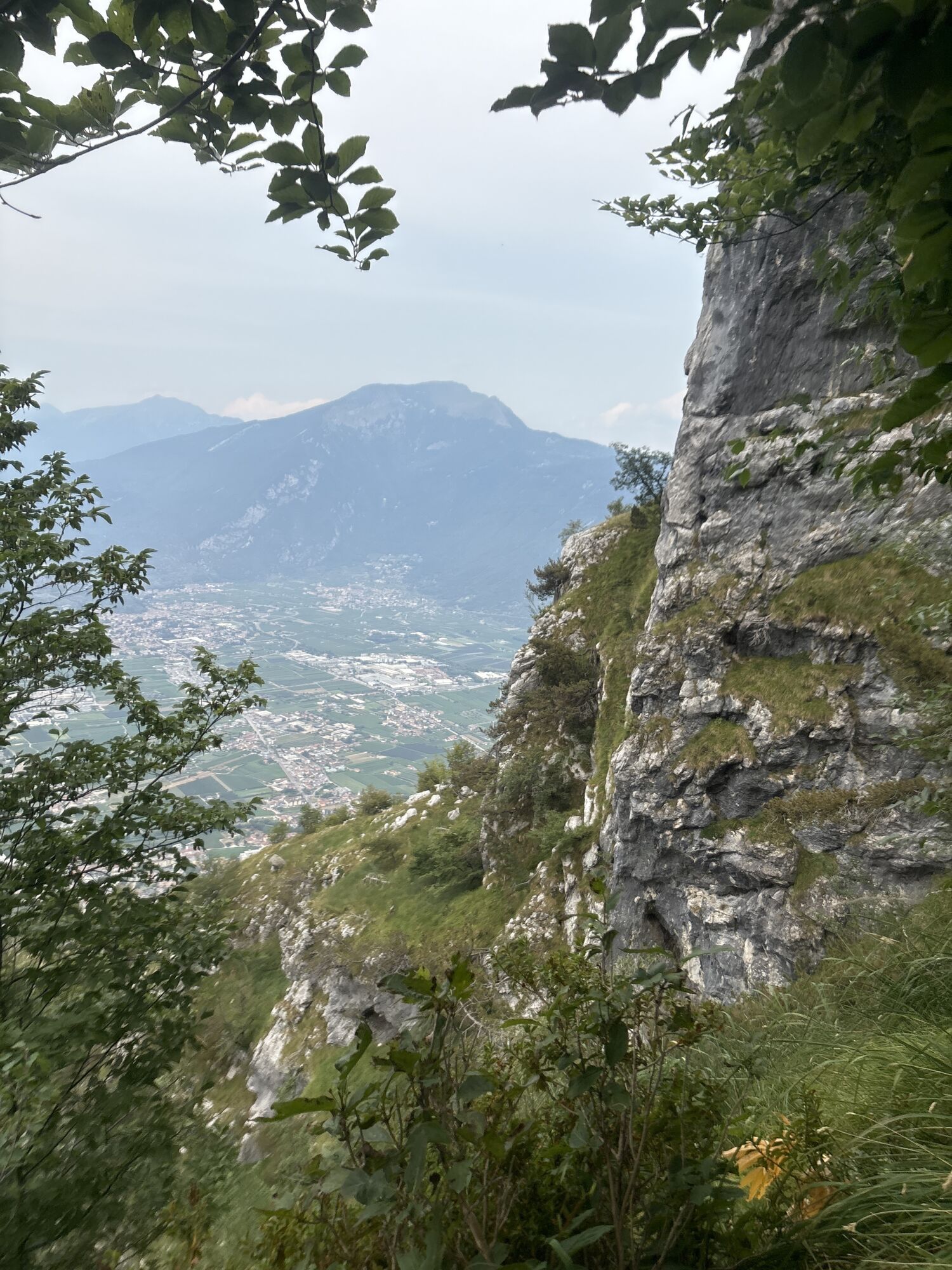
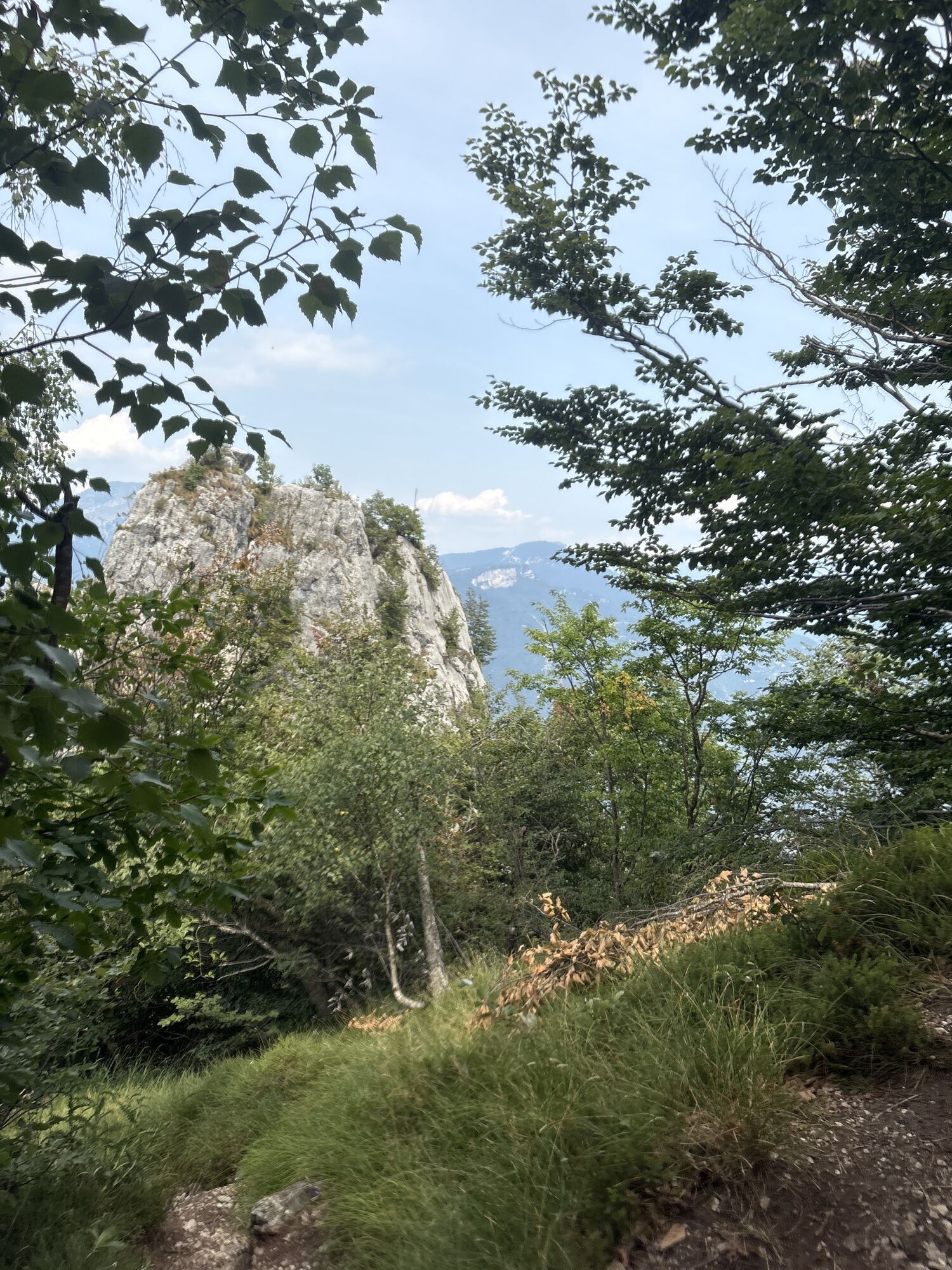
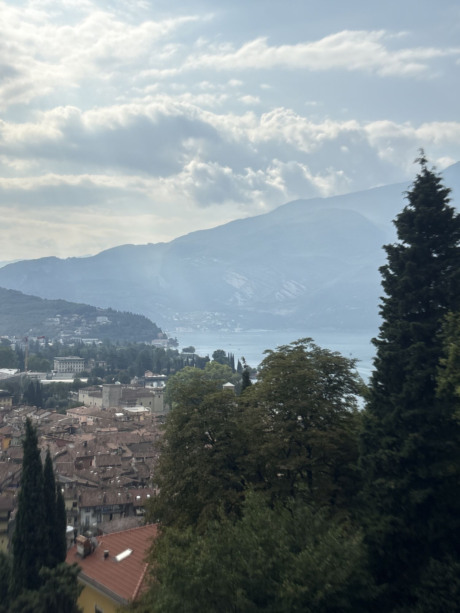
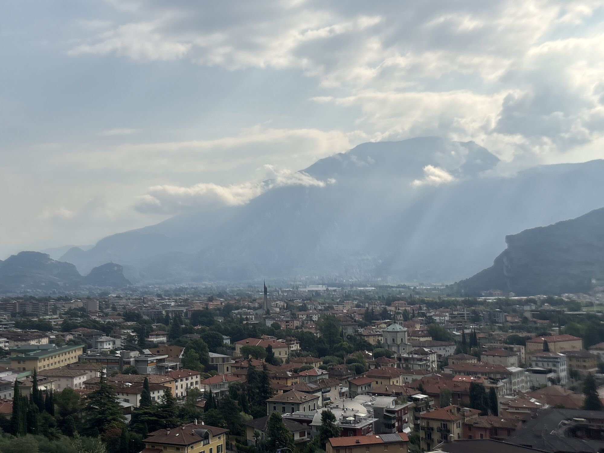
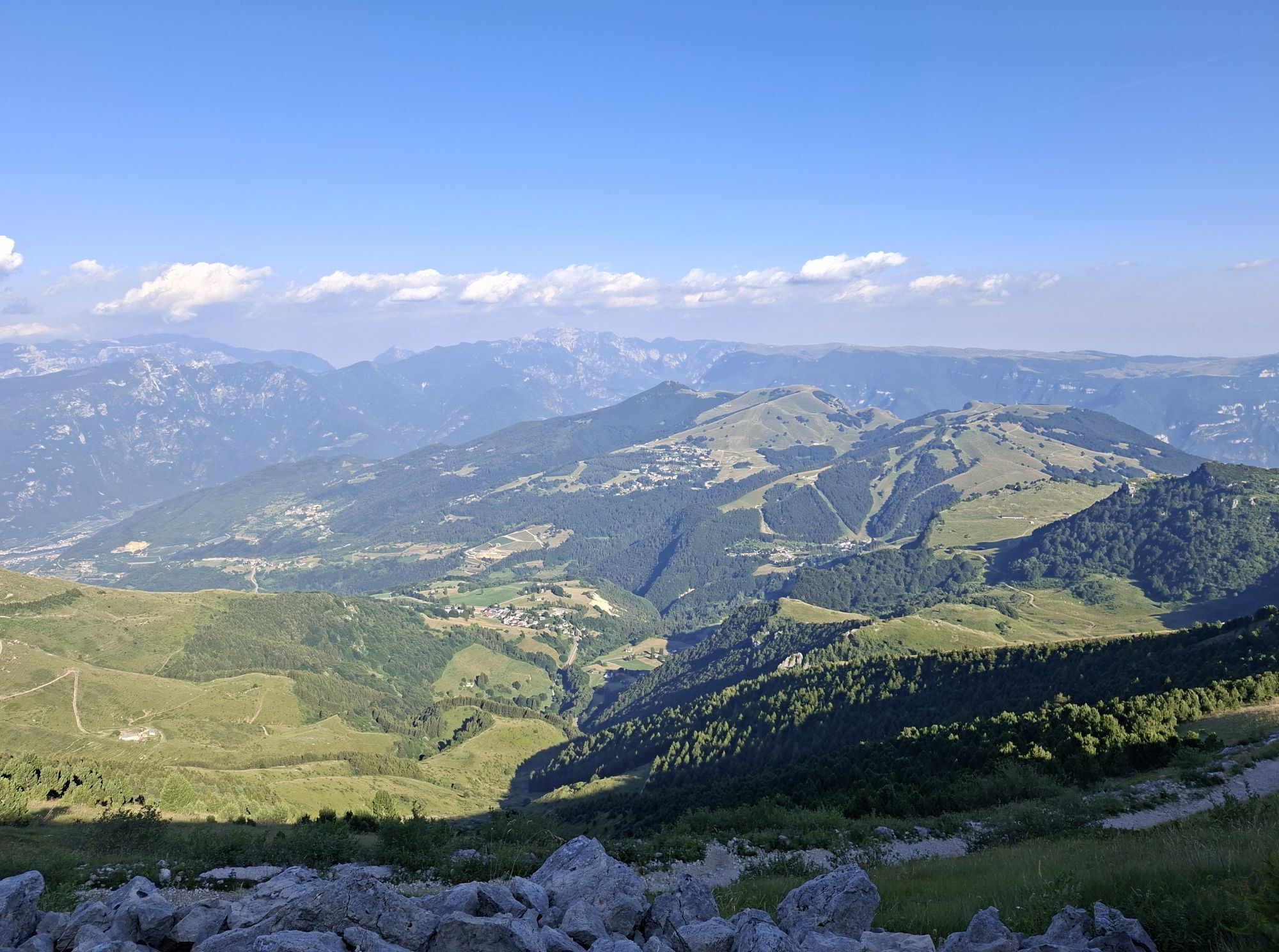
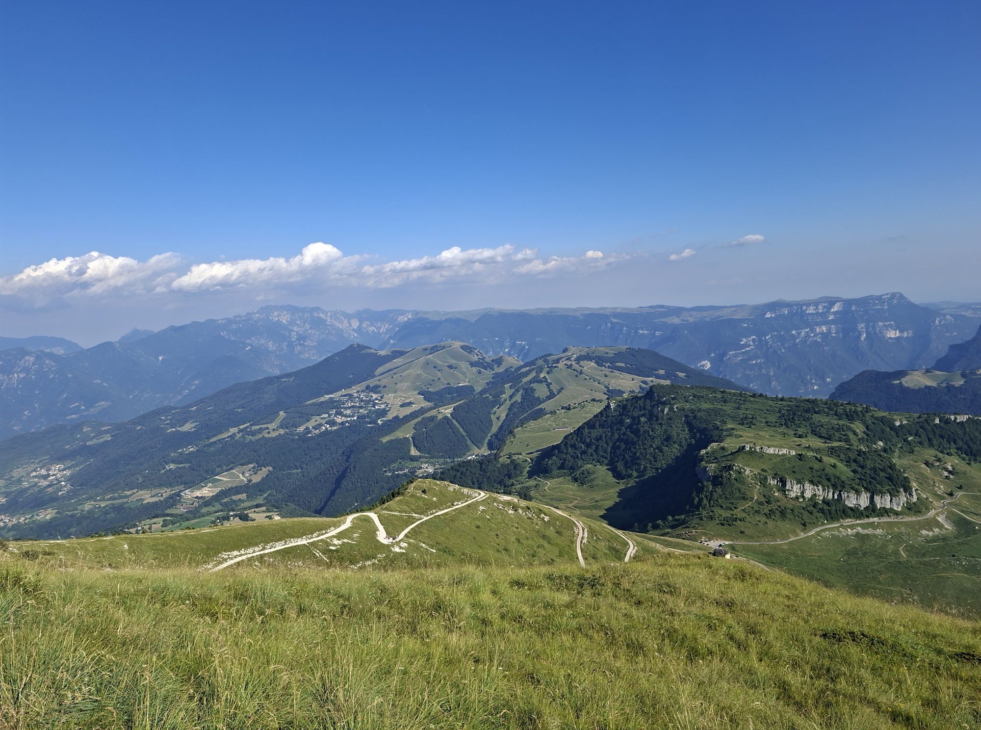
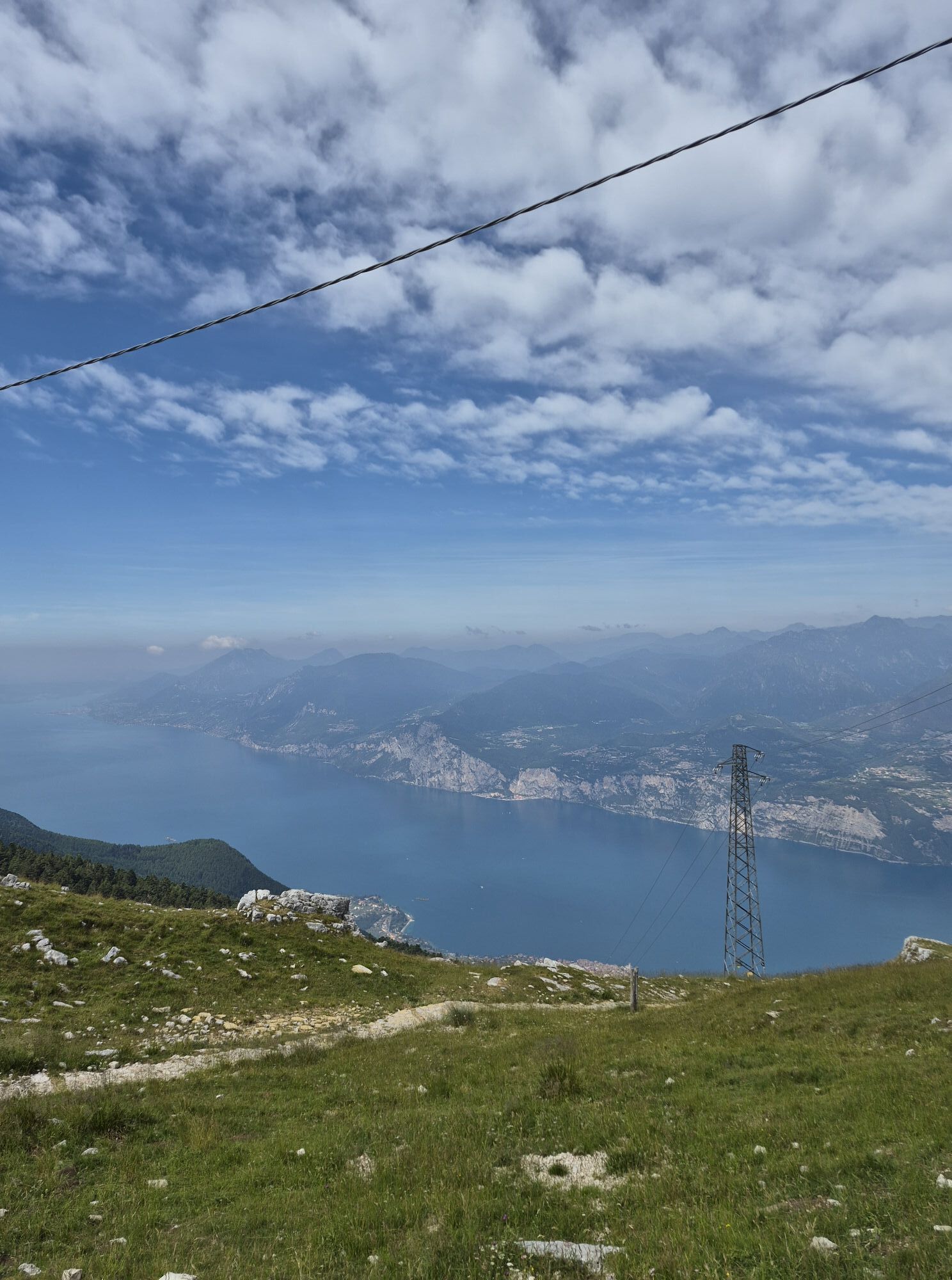
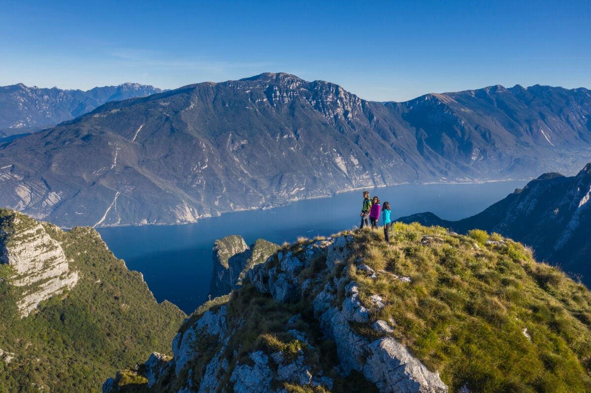
A crown formed of mountain peaks and a series of unforgettable views, taking you from the lake shore to over 2000 metres above sea level. A challenging trek full of thrills and surprises, and crowning...
A crown formed of mountain peaks and a series of unforgettable views, taking you from the lake shore to over 2000 metres above sea level. A challenging trek full of thrills and surprises, and crowning it all, the return to the starting point by ferry.
The highest circuit of Garda Trek (Top Loop) is made up of 7 stages which can be done one after the other or on separate occasions and the treks can also be cut short if needs be. There are in fact a number of different options for getting back to Riva del Garda, either on foot or by public transport. During your hike along the Top Loop you can sleep either in mountain huts or in hotels in the valley, experiencing different kinds of accommodation.
As a rule, the Top Loop can be hiked from June to October, but it is always advisable to check whether or not there is still any snow before setting out.
Please note that the Top Loop is a very challenging hike, which requires training and alpine skills.

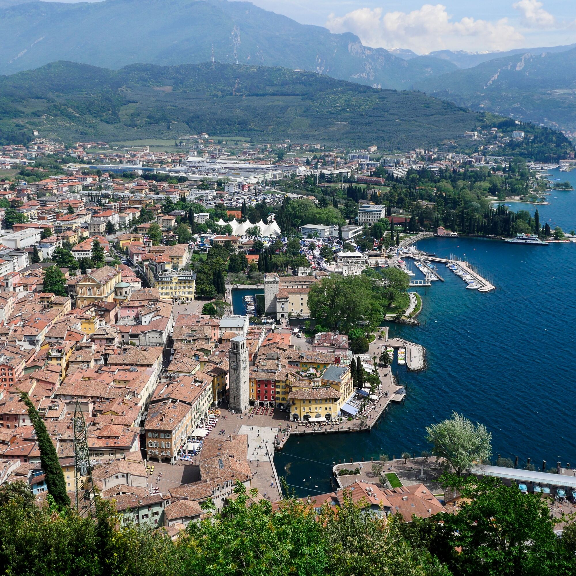
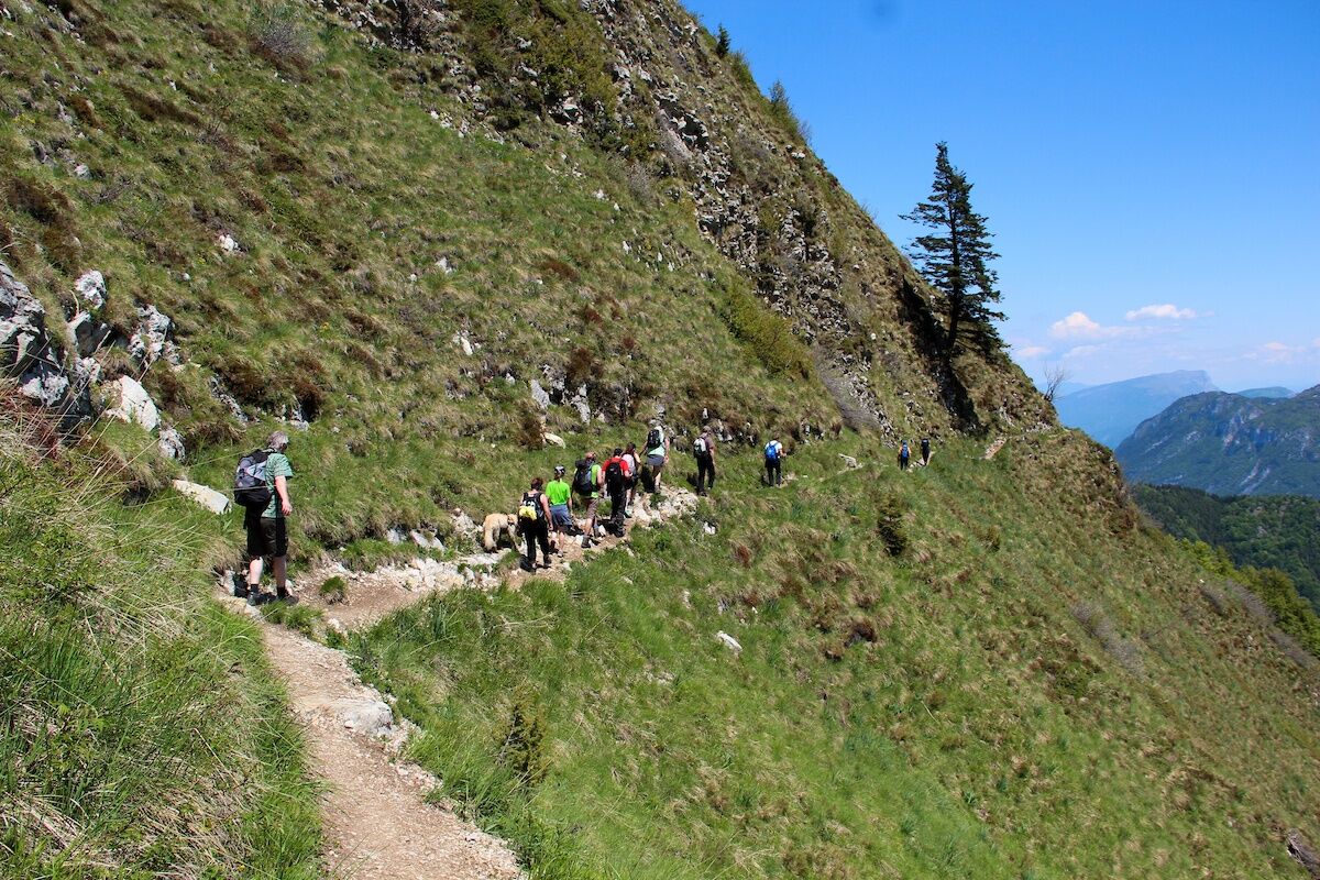
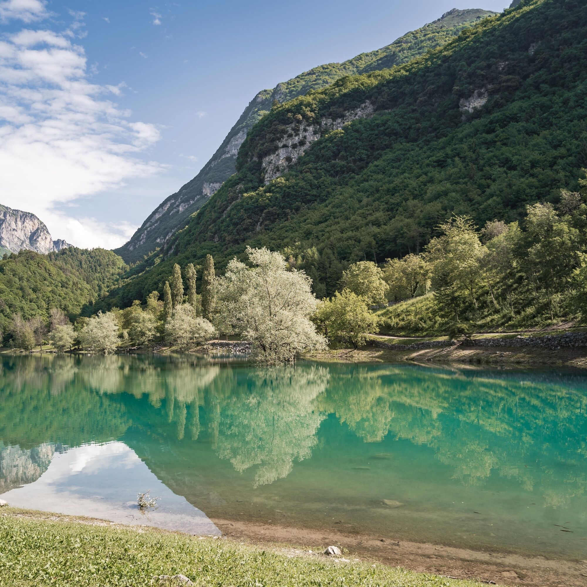
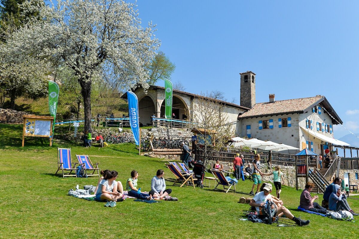
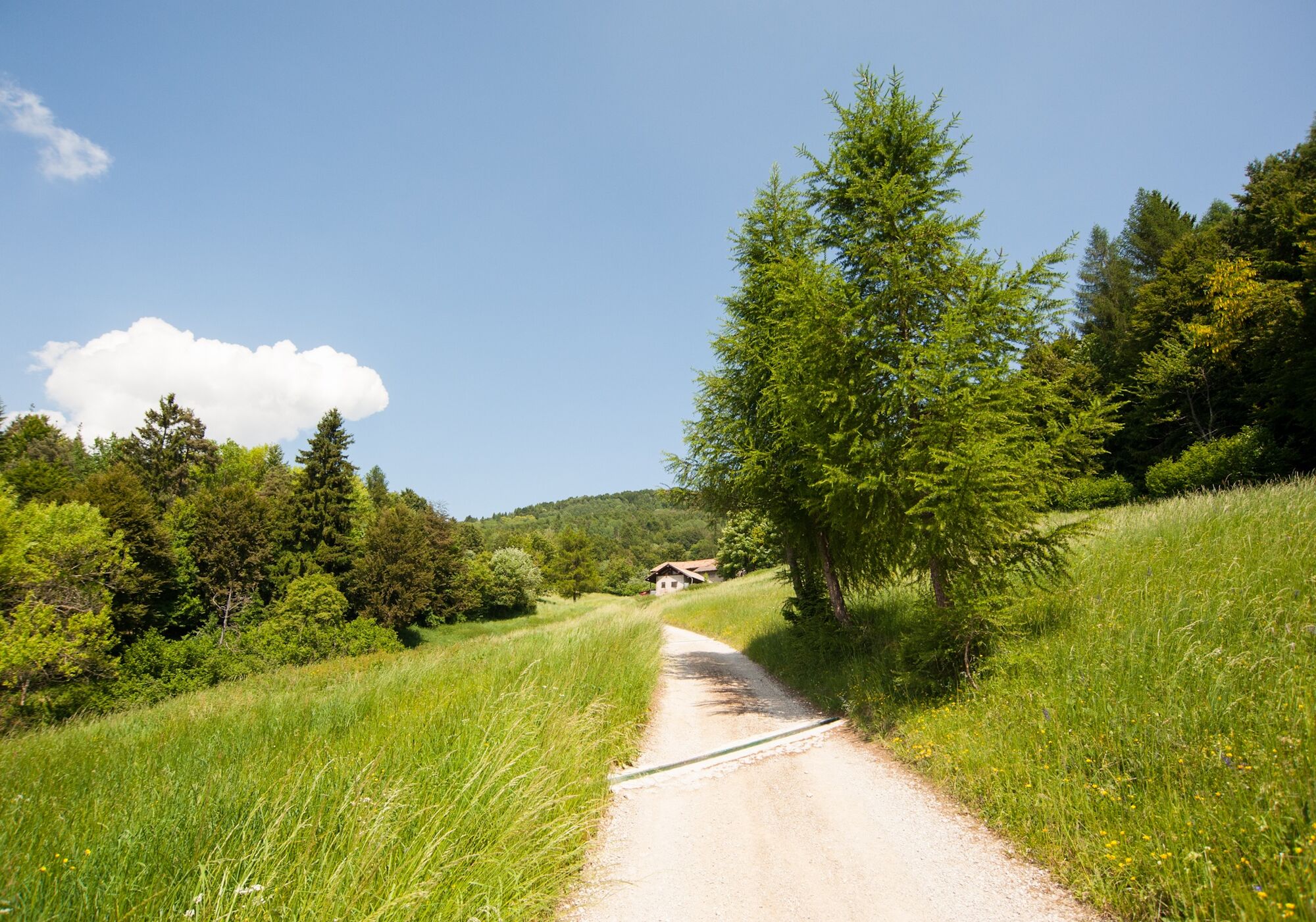
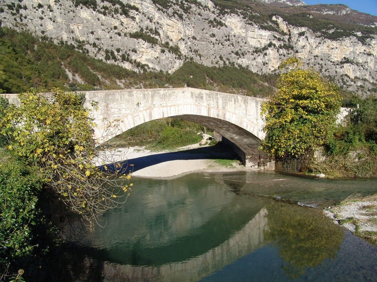
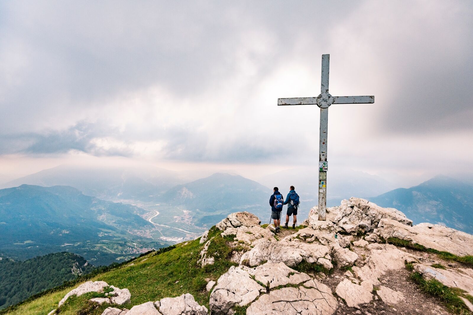
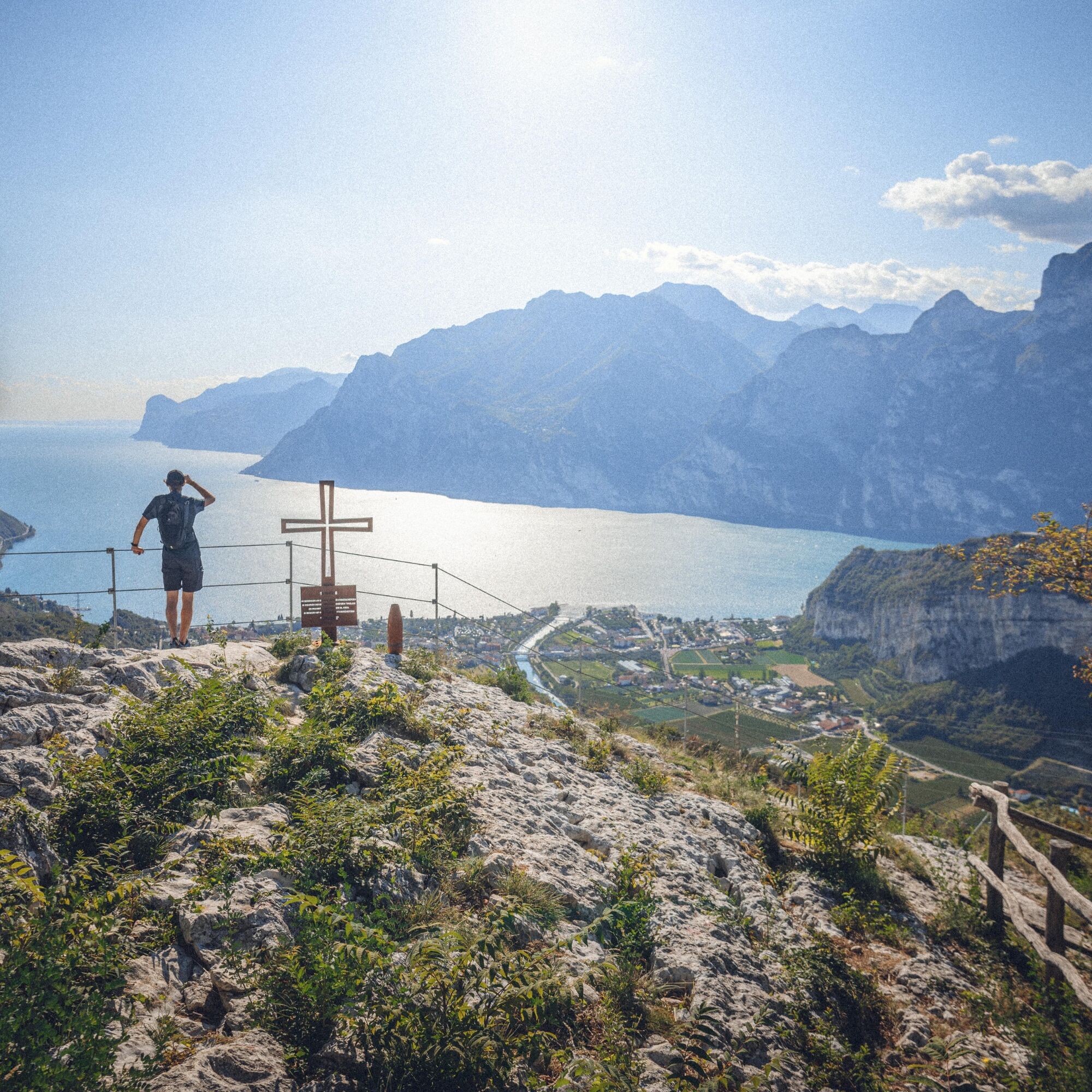
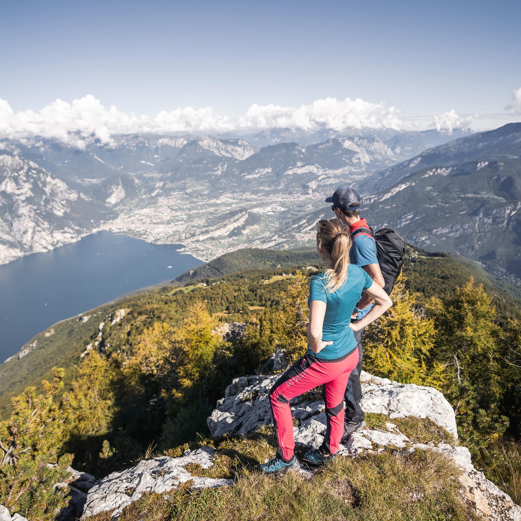

The trek begins and ends in Riva del Garda and is entirely on SAT hiking trails which present no particular technical difficulties but can at times be exposed and therefore require experience and attention to safety. For details see the description of the individual stages:
Garda Trek - Top Loop 1: From Riva del Garda along the ridges to Rifugio Pernici Garda Trek - Top Loop 2: Descent to Lake Tenno (Sentiero della Regina is closed - use the alternative route do descend to Tenno) GardaTrek - Top Loop 3: A long descent to the River Sarca GardaTrek - Top Loop 4: To the balcony over Lake Garda GardaTrek - Top Loop 5: Across the Front GardaTrek - Top Loop 6: In the Garden of Europe GardaTrek - Top Loop 7: An incredible return by waterDa
Da
You need to wear the right clothing and take the proper gear when you go hiking in the mountains. Even on relatively short easy outings make sure to take all you need so you don't run into trouble if things take an unexpected turn, for example a storm blows up or you have a sudden drop in energy levels.
What should you take when you go on a hike?
Your rucksack (for a day trip a 25/30L capacity should do) should contain:
water canteen (1L) snacks (e.g. mixed dried fruit or chocolate) First aid kit windproof jacket fleece change of t-shirt and socks (in a plastic bag) make sure to wear or at least bring a pair of long trousers hat sun screen sunglasses gloves whistle to attract attention in an emergencyMake sure you're wearing the right footwear for the trail and season. The going can get rough and rocky underfoot and a pair of hiking boots will protect you from sprains. When wet, a grassy slope, rocky slab or steep trail can be dangerous unless you are wearing the proper footwear.
And finally... don't forget to bring your camera! You'll need it to capture the stunning views you come across all over Garda Trentino. And if you like, you can share your memories with us at #GardaTrentino.
Emergency telephone number 112.
This excursion is only recommended from June to mid-October.
Safety Tips
Choose itineraries that suit your physical and technical abilities. Collect information about the area you are visiting and the trail’s conditions and get a detailed trekking map. Wear clothes and take equipment that suit the difficulty and length of your tour. Keep emergency gear in your rucksack, including first aid supplies. Do not go walking alone in the mountains. In any case, tell someone where you are going and report back on returning. Look at the weather forecast before setting off and always keep an eye on the weather. In case of doubt, go back. It is better to give up than risk bad weather or face difficulties beyond your strength, ability and equipment. Do not leave marked paths and do not take shortcuts. All described walks are in a natural environment and therefore their use is at your own risk.This information is subject to inevitable variations, so none of these indications are absolute. It is not entirely possible to avoid giving inexact or imprecise information, given how quickly environmental and weather conditions can change. For this reason, we decline any responsibility for changes which the user may encounter. In any case, it is advisable to check environment and weather conditions before setting out.
A22 motorway, exit: Rovereto Sud - Lago di Garda. Then SS240 in the direction of Riva del Garda.
Find out how to reach Garda Trentino.
The main towns in Garda Trentino - Riva del Garda, Arco, Torbole sul Garda, Nago – are connected by several urban and intercity bus lines which will take you to the starting point of tours or in the immediate surroundings.
You can also get to Riva del Garda and Torbole sul Garda by the public ferry service.
Free parking near the former hospital (Via Rosmini).
Paid parking: Terme Romane (Viale Roma), Vecchia stazione (Largo Medaglie d’Oro), Ex-agraria (Via Lutti).
T3
From palms and olive trees up to pastures and mountain pine: the Top Loop summerizes the variety of landscapes offered by Garda Trentino.
Spletne kamere s turneje
Surfcenter Lido Blu
Riva del Garda - Varone
San Valentino Lift
Pista Baby
San Valentino
Riva del Garda - Trattoria Acetaia
Camping al Sole Ledrosee
Arco
Ledro - Mezzolago
Riva del Garda - Porto
Torbole - Residence Casa al Sole
Torbole - Hotel Lido Blu
Riva del Garda - Bastione
Ledro Mezzolago
Gardasee - Malcesine
Pridobite vpogled Vedno v živo na mestu z več kot 9.500 spletnimi kamerami. bergfex Kot uporabnik Pro si lahko zdaj ogledate ustrezne spletne kamere za številne izlete v aplikaciji izleti iz. Tako si lahko neposredno ogledate trenutne razmere. Priljubljeni izleti v okolici
- 5.0
Via Ferrata Signora delle Acque - Rio Ruzza
težkoVia ferrata 5.32 km - 5.0
Bastione and Santa Barbara, the lords of Riva del Garda
srednjaPohodništvo 2.94 km - 4.8
Sentiero Busatte Tempesta
svetlobaPohodništvo 7.90 km - 4.8
Via Ferrata Fausto Susatti - Cima Capi (from Ledro)
srednjaVia ferrata 7.11 km - 4.8
Via Ferrata Rio Sallagoni
srednjaVia ferrata 2.75 km - 4.6
Via Ferrata delle Laste e Gallerie di Cima Rocca
svetlobaVia ferrata 6.38 km - 4.5
Walking around Lake Ledro
svetlobaPohodništvo 9.40 km - 4.9
Via Ferrata dell’Amicizia - Cima SAT
srednjaVia ferrata 4.41 km - 4.8
Ponale Path (from Ledro)
srednjaPohodništvo 10.8 km - 4.9
Riva del Garda nach Ledrosee und zurück
srednjaE-MTB 37.6 km
Pohodništvo in sledenje


Ne zamudite ponudb in navdiha za naslednje počitnice
Vaš e-poštni naslov je bil dodan na poštni seznam.





