






Goldtoni - Wandern - Monte Cusno - Monte Prado
April 25, 2026 From the village of Casone di Profecchia, in the Alps, over numerous other peaks to Monte Cusno and then on to Monte Prado *Description:* I start from a very spacious parking lot directly...
April 25, 2026 From the village of Casone di Profecchia, in the Alps, over numerous other peaks to Monte Cusno and then on to Monte Prado
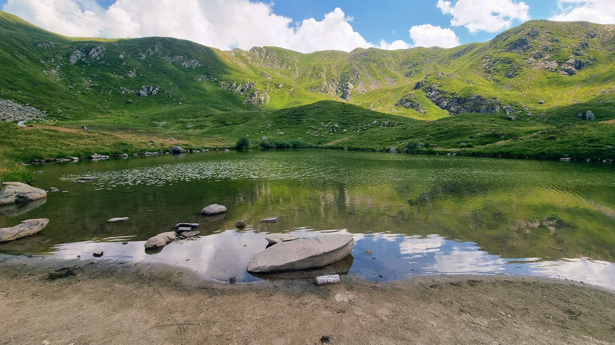
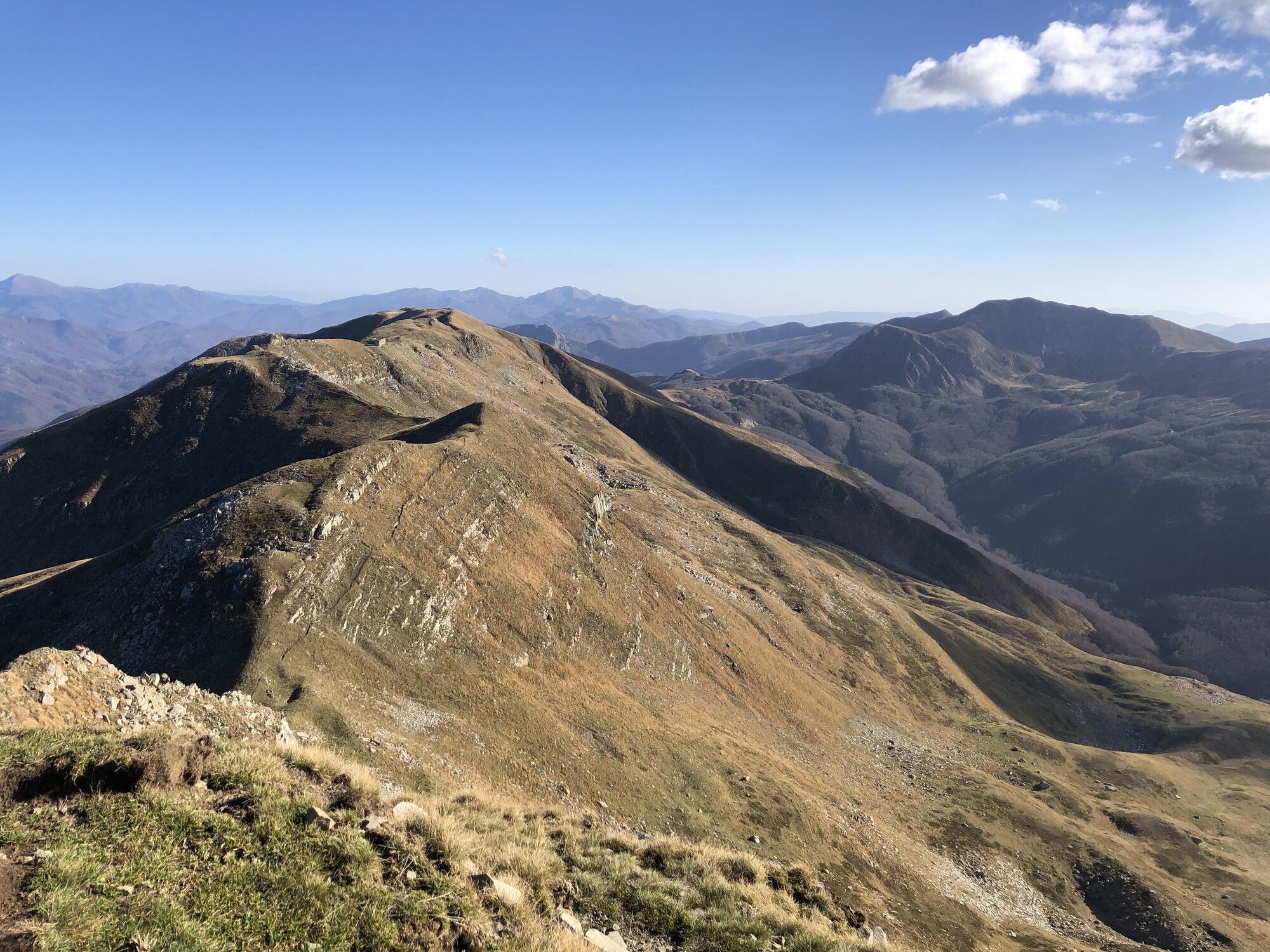
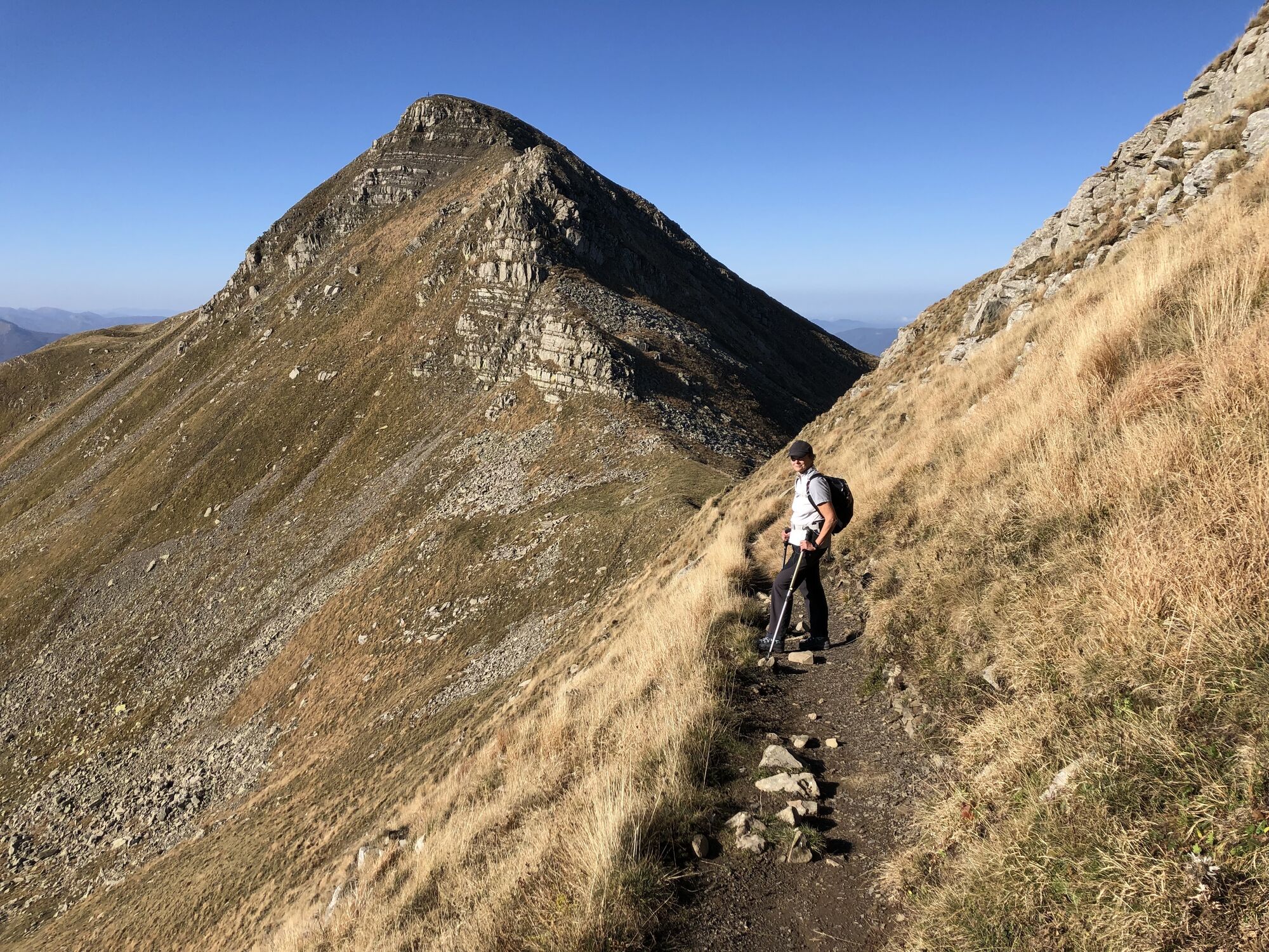
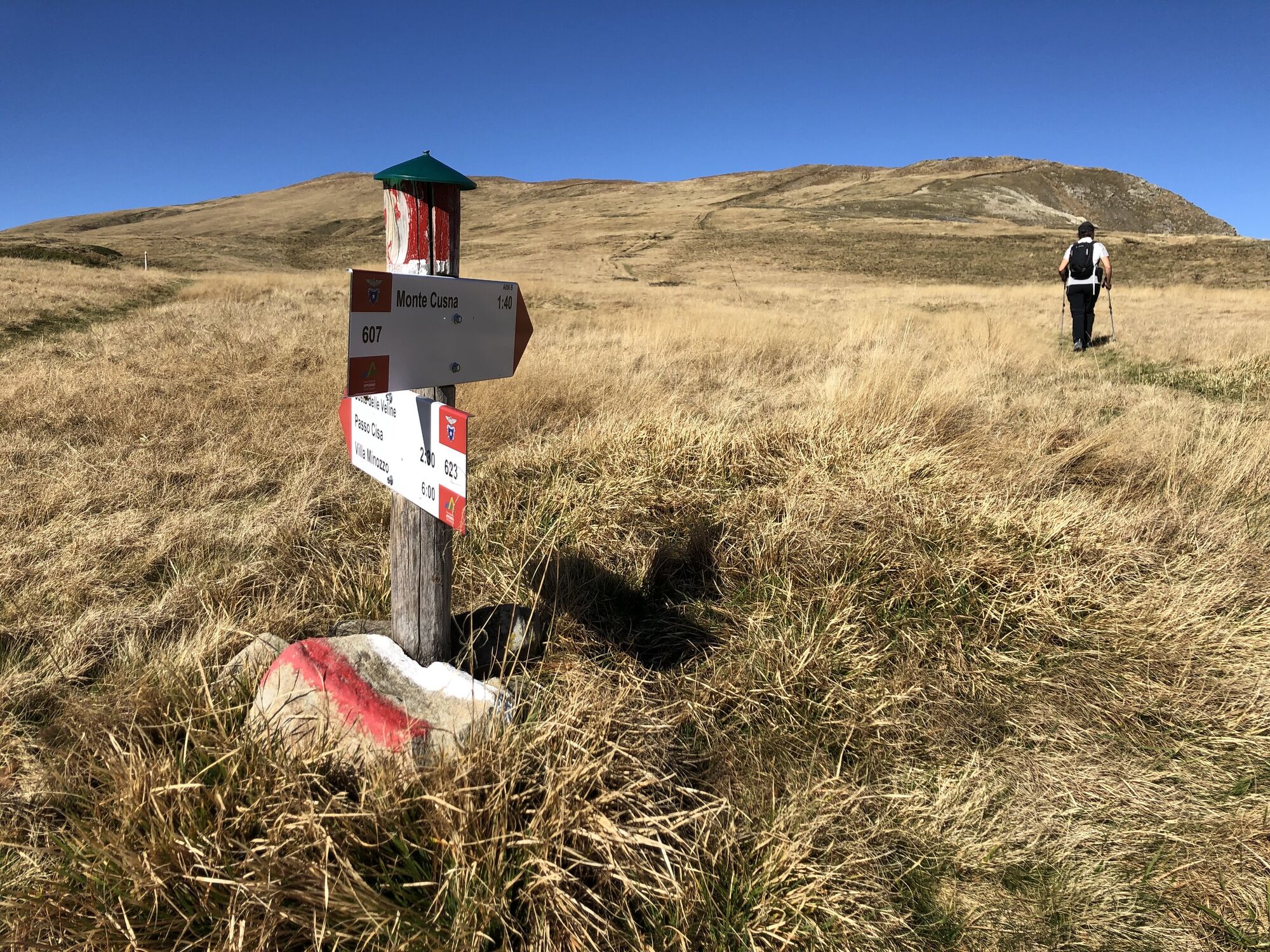
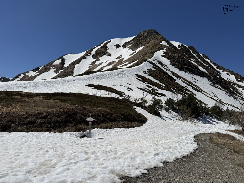
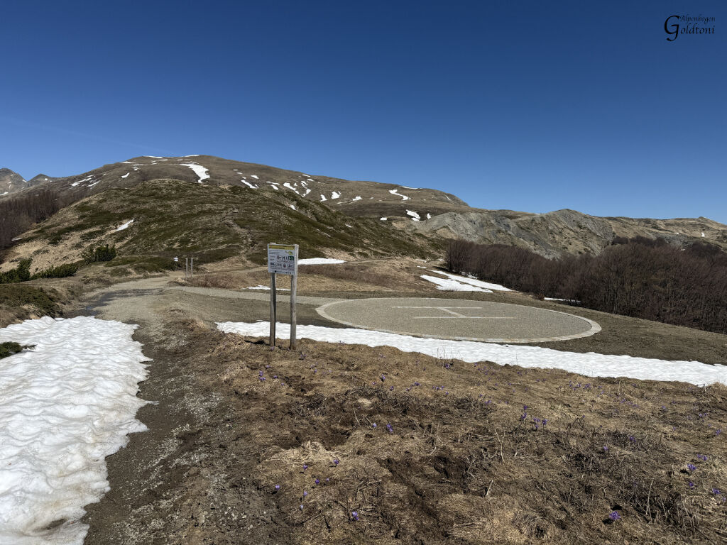
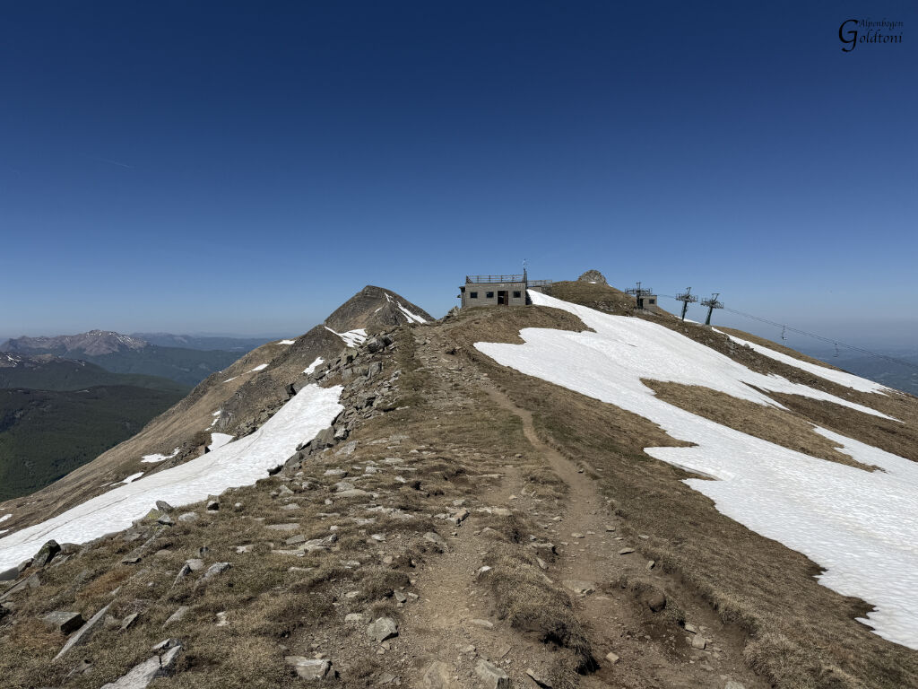
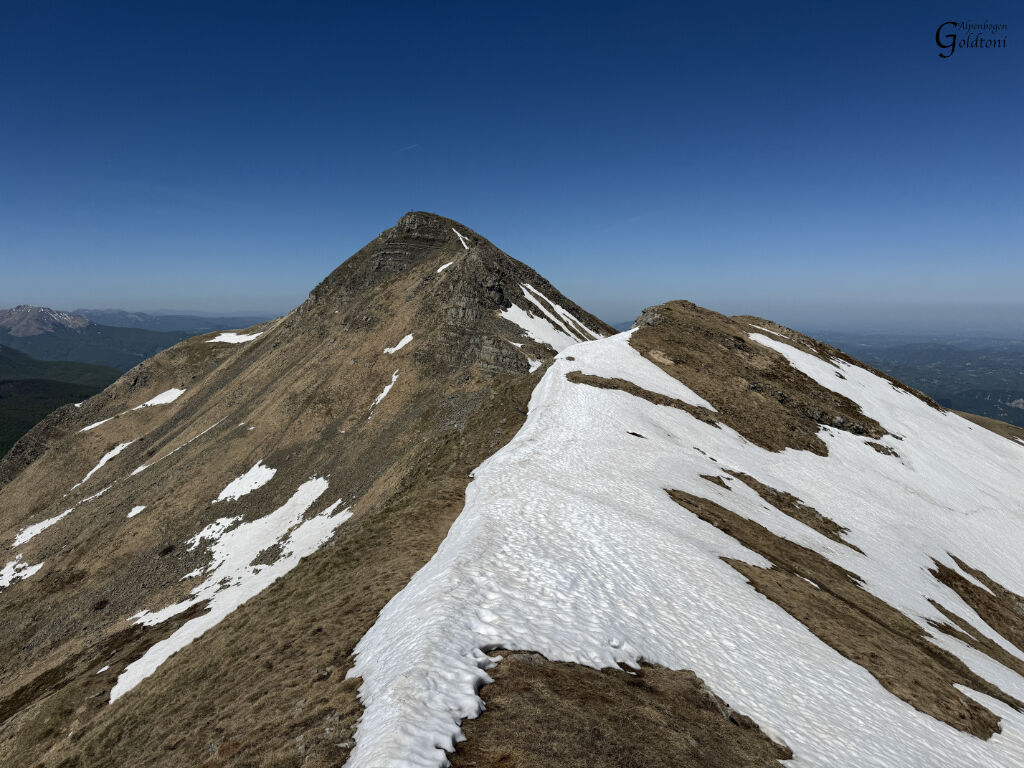
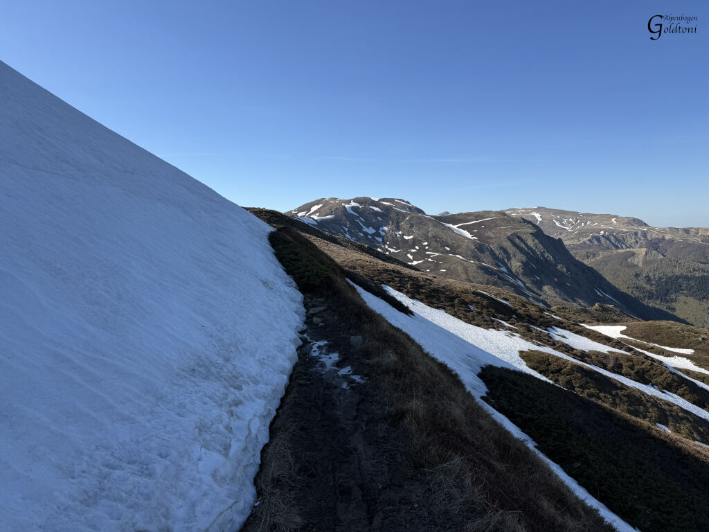
Description: I start from a very spacious parking lot directly in front of the village of Casone di Profecchia. A well-marked path leads through a beautiful beech forest until you reach the Rifugio Cella. From here, you're exposed to direct sunlight for the rest of the day. In my case, in April with fantastic weather, it was very pleasant. In summer, it can get quite sweaty. My route, over all the aforementioned peaks, is easy and safe until I reach the Rifugio Il Crinale. It looks like they haven't had a refreshing beer here for a long time. Nevertheless, the top station of a ski lift is also located here. From the Rifugio, the path becomes steeper and somewhat exposed. Soon I'm at the start of the ascent to Monte Cusno, which already looks steep from a distance. There's a path to the right that bypasses the ascent and allows you to climb from the other side, which is much gentler. However, this path is still completely covered in snow and therefore quite dangerous. So, the only option is the steep climb. But you also have to keep in mind: "This is where you have to go back down." So, always consider whether you can safely manage the descent.
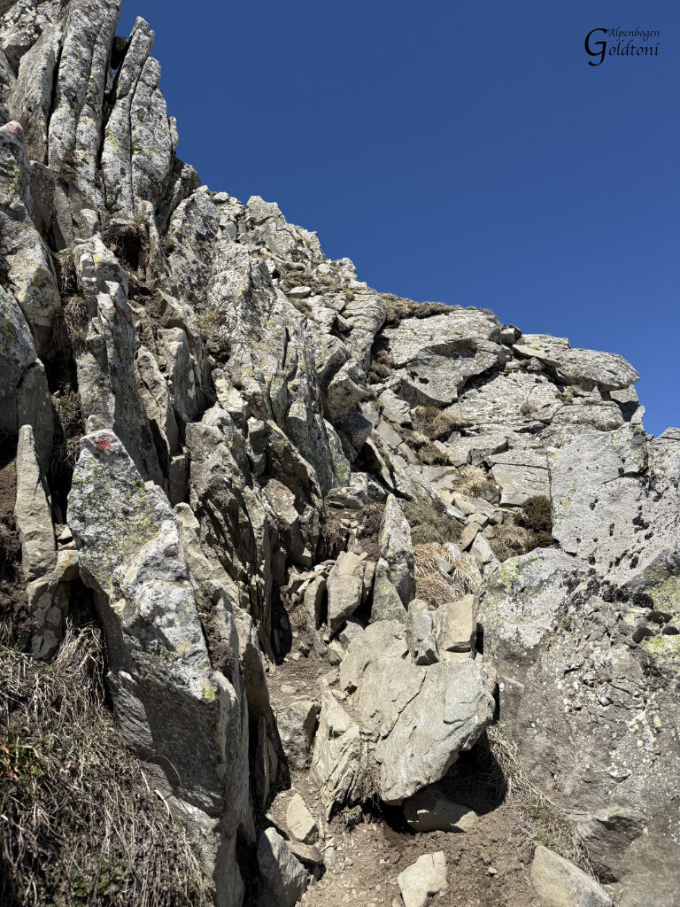
And there's a section about 4 meters high that's actually twice as hard going down as going up. Here, the stones are only held in place by the soft, earthy sand and are extremely loose.
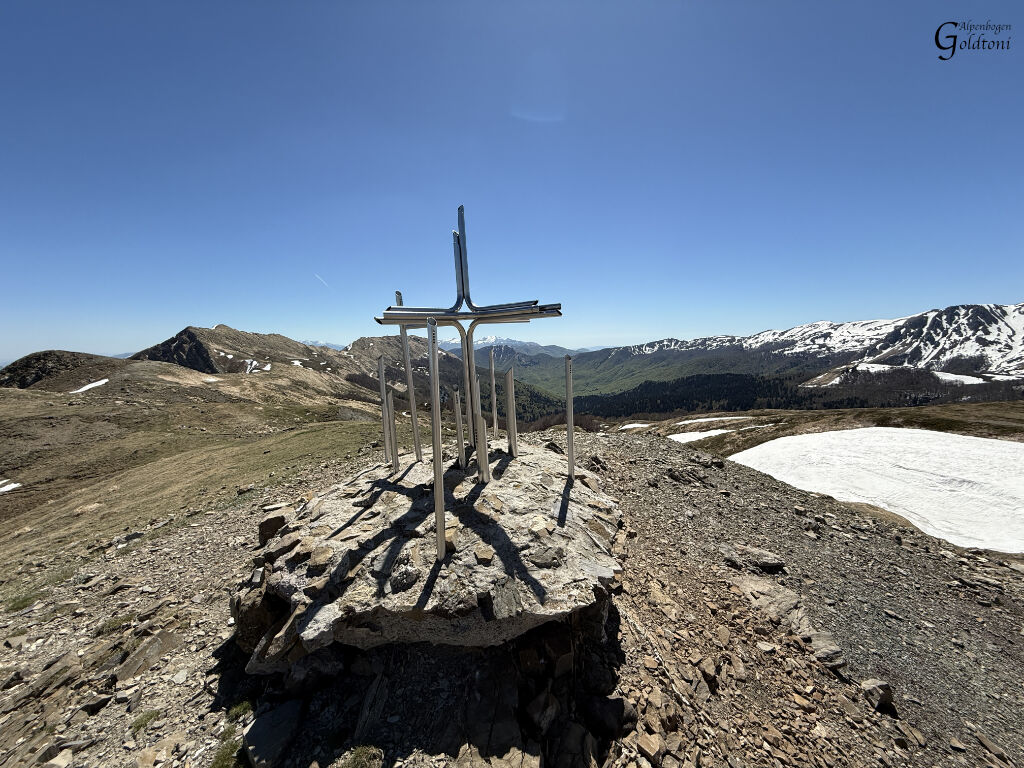
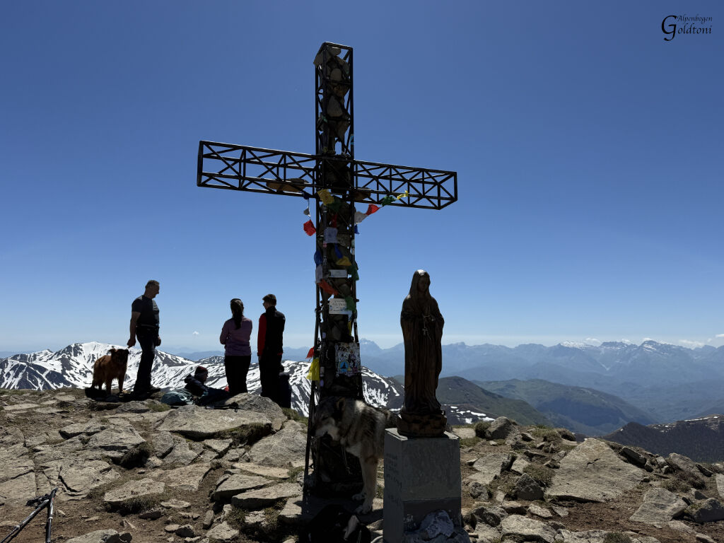
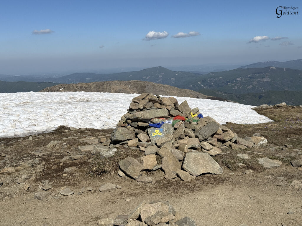
The summit, in any case, is fantastic, with a huge summit cross and a Madonna statue in front of it. I take a longer break here with some other people. Monte Cusna, at 2120 meters, is the second highest peak in the northern Apennines.
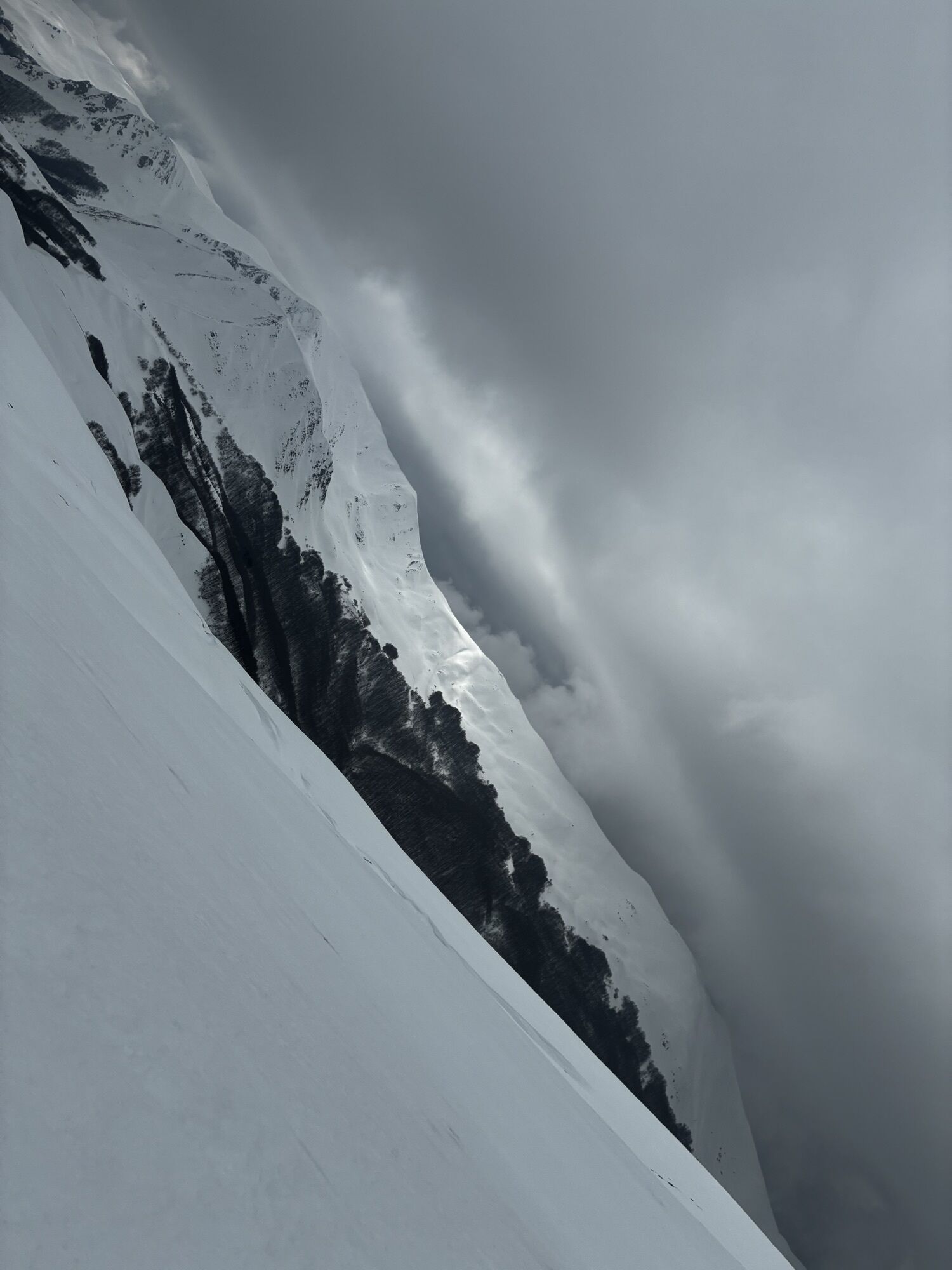
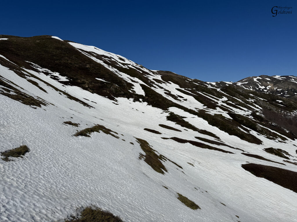
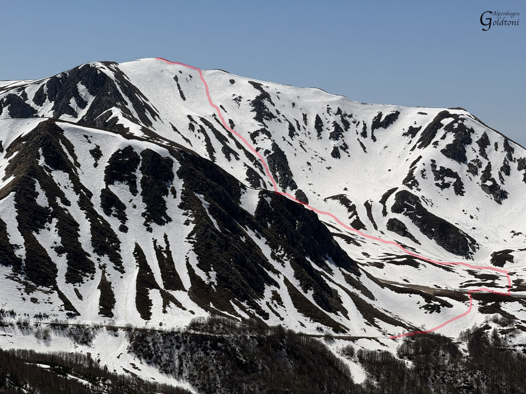
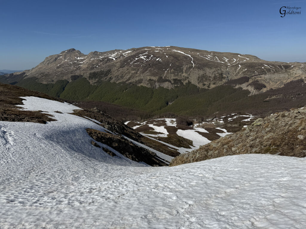
I also have a perfect view of Monte Prado opposite; its north face, facing me, is still completely covered in snow. I carefully memorize the ascent route from here.
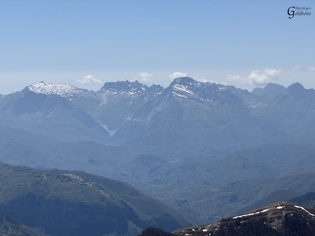
From here, I can also see the north faces of Monte Cavallo and Monte Pisanino, where the steep gullies are still covered in snow. This confirms my decision not to do that tour today.
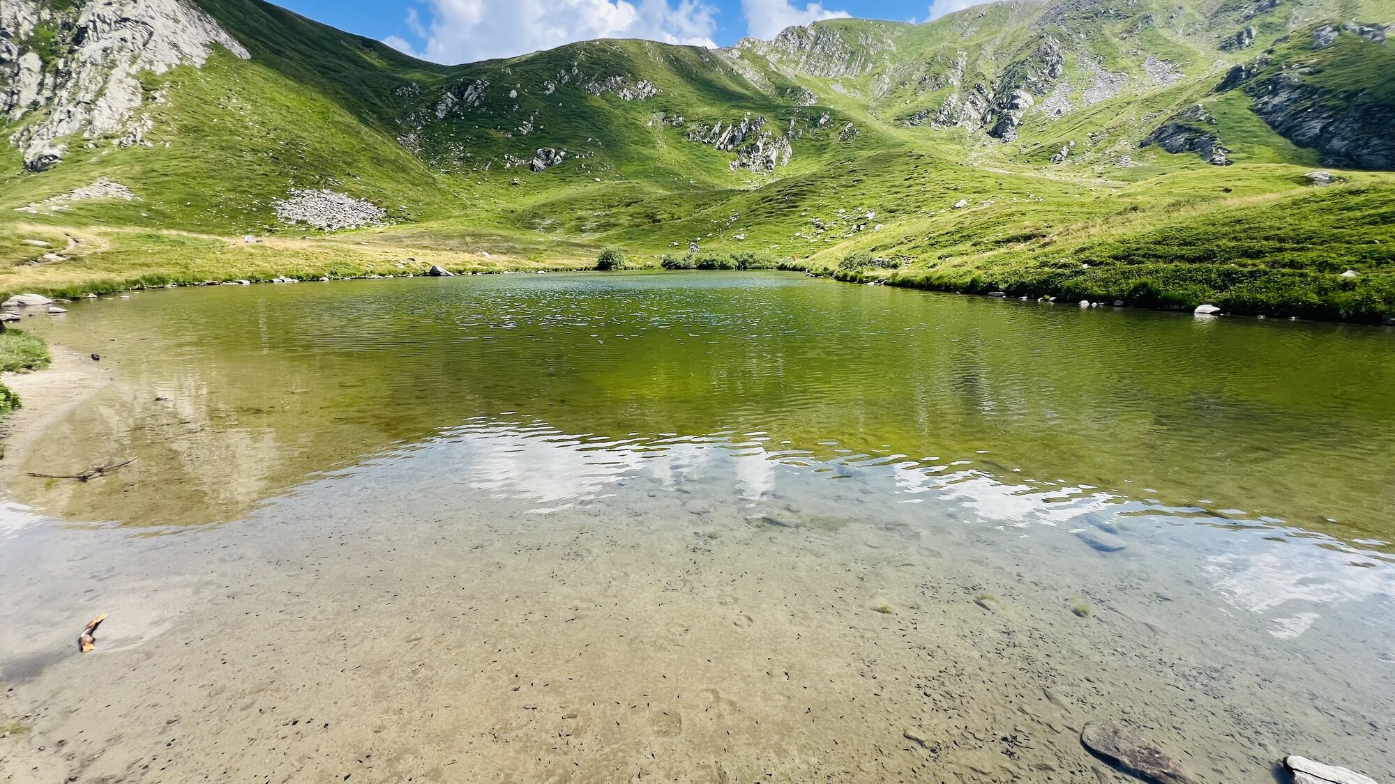
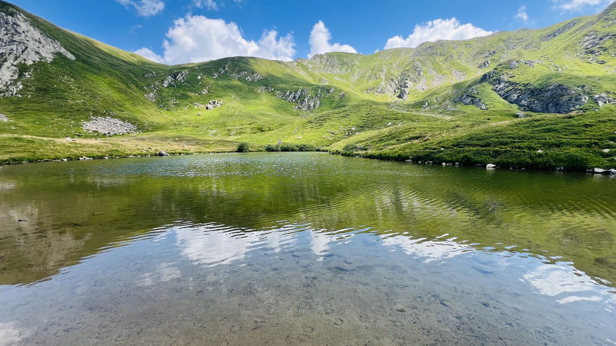
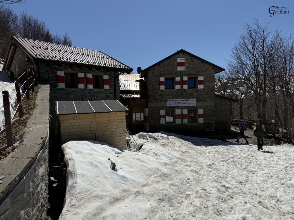
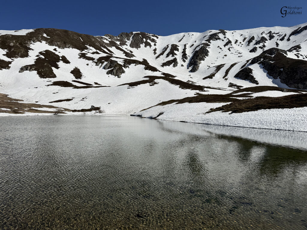
Onward – as I said, the descent was very, very careful. Then back along the entire ridge to Rifugio Casone Battisti. Without a break, I then climbed all the way up to Lago Bargetana, over snow. From there, I ascended the steep gully to the left of the actual path, all the way to Sella del Monte Prado. I should mention here: of course, I wore crampons; sliding down here would definitely hurt.
Then it was up to Monte Prado and an easy return to the car along the ridge.
A truly fantastic tour, but one that requires alpine experience and considerable stamina. Don't be fooled by the fact that I started at a high altitude of 1300m.

Da
Da
Da
Vorsicht diese Tour ist kein Kindergeburtstag, dafür ist schon richtig Ausdauer erforderlich.

Priljubljeni izleti v okolici
-
Monte Cusna con variante al Rifugio Battisti, Villa Minozzo, Emilia-Romagna/Italia
srednjaPohodništvo 14.4 km -
Pradarena-LMastrone-Costa Romana-Posola-Dalli Sopra
svetlobaPohodništvo 24.4 km -
Ospitaletto, Colle Brancia, Monte Polla, Monte Cavalbianco, Passo Pradarena, Passo Comunella, Monte Sillano, Sella Lama di Mezzo, Rifugio Rio Re, Ospitaletto, Ventasso, Emilia-Romagna/Italia
srednjaPohodništvo 17.9 km -
Monte Penna di Toano
svetlobaGorski pohodništvo 15.8 km -
Pania di Corfino
srednjaVisokogorska tura 6.09 km -
Cerreto laghi-monte tondo-La Nuda-Cerreto laghi
srednjaPohodništvo 21.5 km -
Giro a cavallo
svetlobaJahanje 6.48 km -
Ligonchio, Il Monte, Monte Sillano, Presa Alta e ritorno, Emilia-Romagna/Italia
srednjaPohodništvo 18.9 km -
San Geminiano - Passo delle Radici - San Pellegrino In Alpe - Santuario dei Santi Pellegrino e Bianco
srednjaPohodništvo 12.3 km -
4.0
Sillicagnana - Rifugio Isera - Pania di Corfino - Sella di Campaiana
težkoPohodništvo 24 km
Pohodništvo in sledenje


Ne zamudite ponudb in navdiha za naslednje počitnice
Vaš e-poštni naslov je bil dodan na poštni seznam.





