Eisenreich 2.665m
težko
Navigacija po spletni strani
Navigacija po spletni strani
Pridobite to turo v svoj mobilni telefon
Eisenreich 2.665m
težko
Smučarska tura
5.55
km
Skenirajte kodo QR in začnite navigacijo v aplikaciji bergfex.

Pohodništvo in sledenje


Eisenreich 2.665m
težko
Razdalja
5.55
km
Trajanje
04:50
h
Ascent
1,242
hm
Morska gladina
1,421 -
2,660
m
Prenos skladbe
Eisenreich 2.665m
težko
Smučarska tura
5.55
km

Another tour destination in Kartitsch’s Winklertal is the long draw-out summit of the Eisenreich. It is located to the west of the Pfannspitze and is tackled directly from Obstanser Wiesenboden. During...
Opis
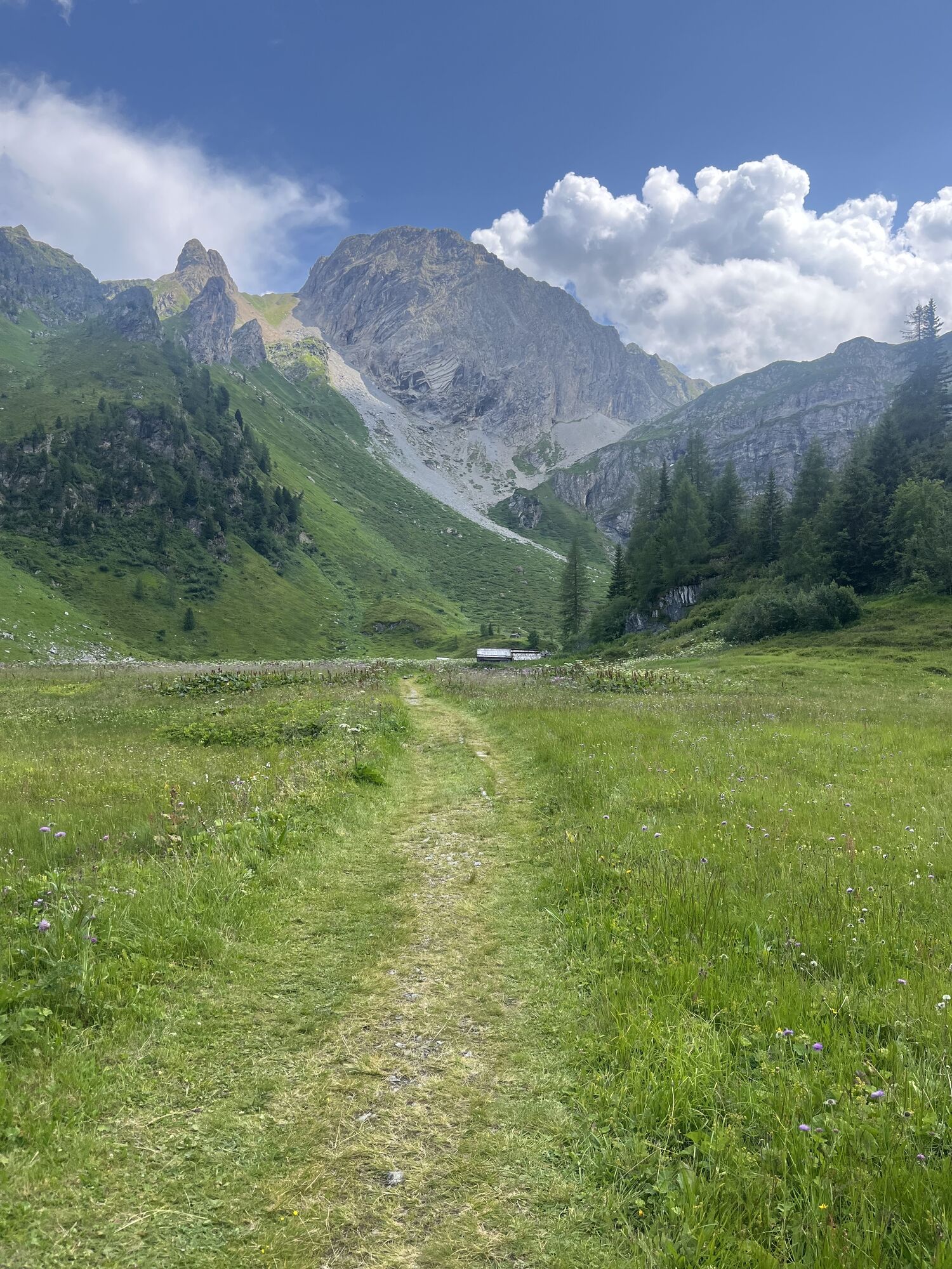
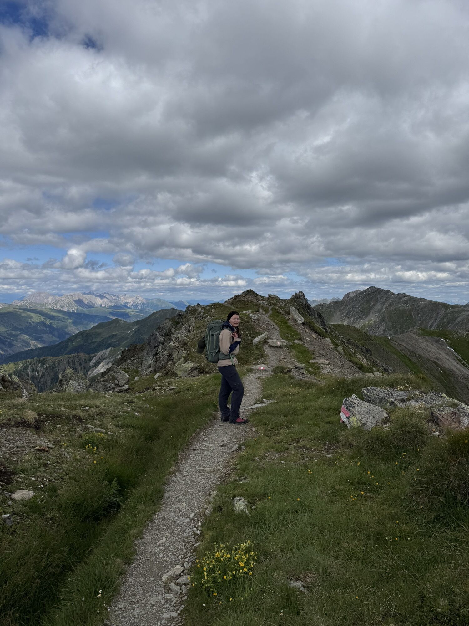
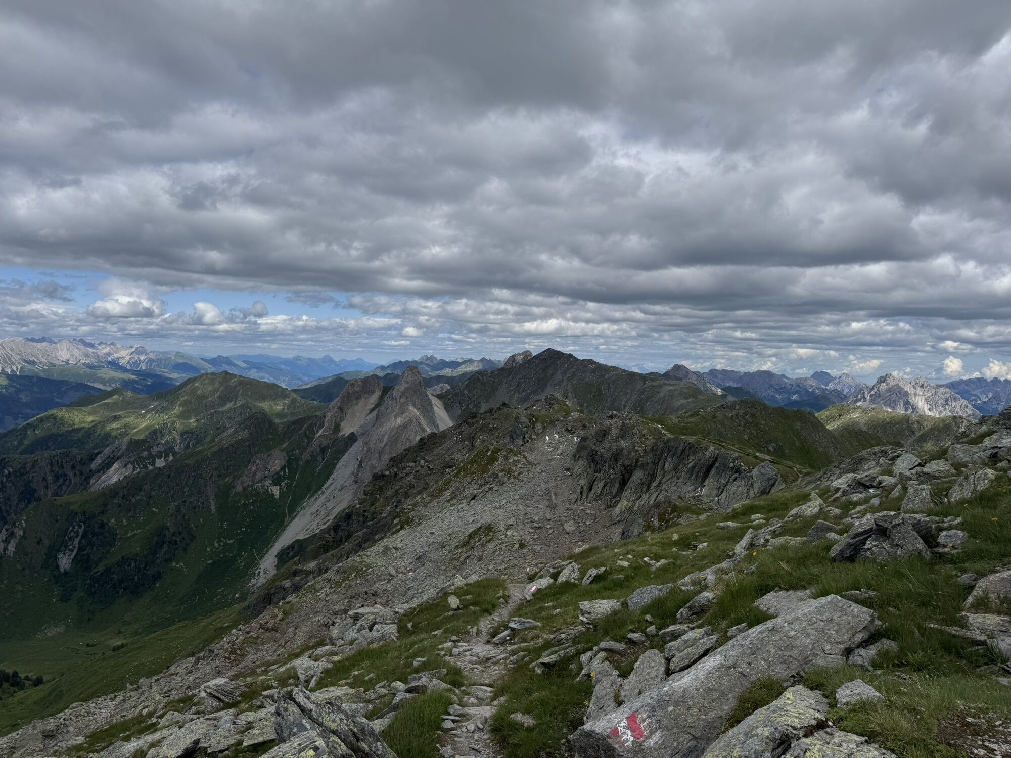
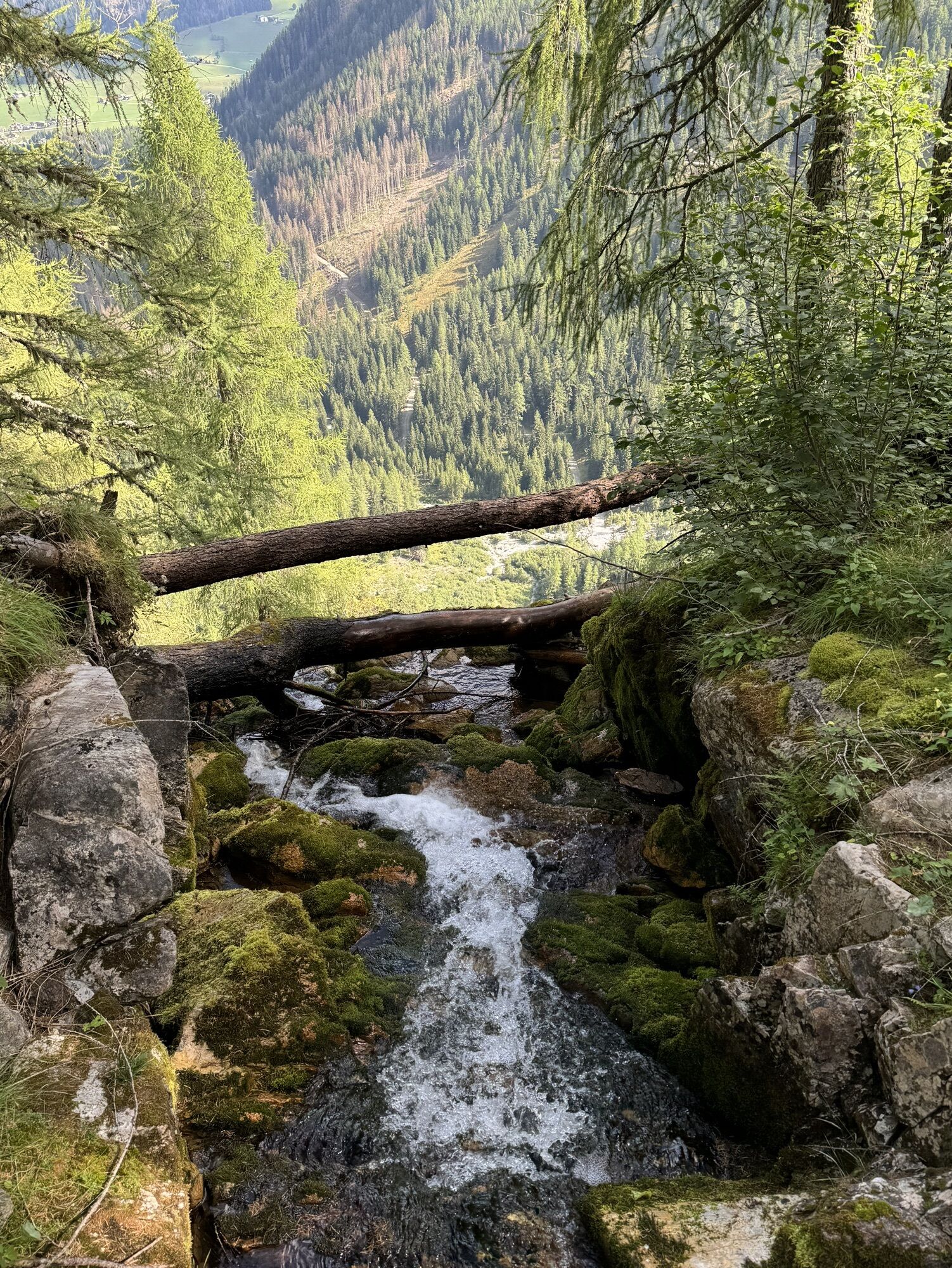
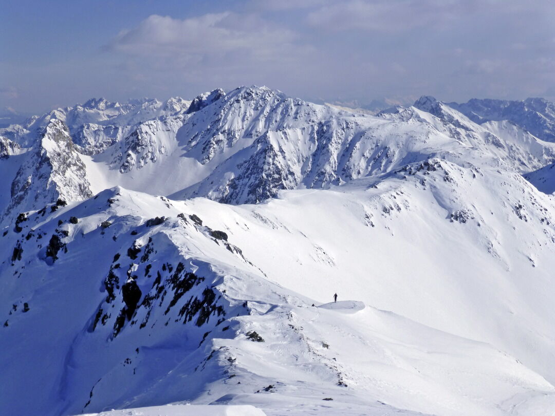
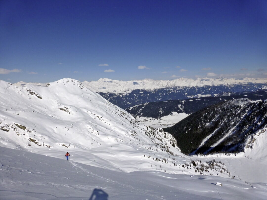
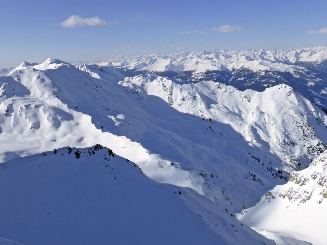
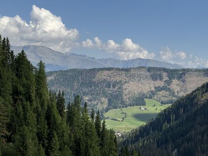
Another tour destination in Kartitsch’s Winklertal is the long draw-out summit of the Eisenreich. It is located to the west of the Pfannspitze and is tackled directly from Obstanser Wiesenboden. During this tour to the blocked rocky area at the head of the Winklertal is to be negotiated before we get to enjoy the ski-friendly slopes. Starting point: the entrance to Obstanser Wiesenboden proceeds the same as the ski tour to the Pfannspitze, and the same precautions apply! The ascent to the Eisenreich proceeds direct from Wiesenboden (1962 m) up via a wide ramp terrain, which, 200 metres after the lovely wooden hay barn in the plateau is like a solidified tongue of ice. Via these, in cleared hairpin bends heading south-west, until at around 2400 m we cross to the south on the accompanying ridge, leaving the superb slopes. Via the ridge which now narrows, the track takes us west on the cleared ridge line, where we proceed up and downhill continuing west to the peak of the Eisenreich, which is very secluded in the winter. This is where Friedensweg 403 proceeds in the summer, bringing together the entire Carnic region and reminds us of the horrors of World War 1. Descent along the ascent track. For photos of the rocky area see the tour to the Gatterspitze.
Additional ski tour tips can be obtained in the ski tour guides by Thomas Mariacher. These are available here: http://www.grafikzloebl.at/verlag/buecher/
Additional ski tour tips can be obtained in the ski tour guides by Thomas Mariacher. These are available here: http://www.grafikzloebl.at/verlag/buecher/
Pot
Prinz-Heinrich-Kapelle
(1,959 m)
Kraj čaščenja
3.1 km
Eisenreich - Montagna del Ferro
(2,665 m)
Vrh
5.2 km
Pot
Eisenreich 2.665m
težko
Smučarska tura
5.55
km
Prinz-Heinrich-Kapelle
(1,959 m)
Kraj čaščenja
3.1 km
Eisenreich - Montagna del Ferro
(2,665 m)
Vrh
5.2 km
Informacije o prihodu
Prihod
Mit dem Auto bis zum Sportplatz Kartitsch
Javni prevoz
Mit dem Bus bis zur Haltestelle "Kartitsch Gemeindeamt"
Parkirišče
Parkplatz Sportplatz Kartitsch
Vrednotenja
5
(1)
4
(0)
3
(0)
2
(0)
1
(0)

Priljubljeni izleti v okolici
- 4.9
Drei Zinnen
srednjaPohodništvo 19.6 km - 4.8
Fischleintal zu den 3 Zinnen Hütte mit Besteigung des Sextner Steins
srednjaPohodništvo 16.2 km - 4.5
Kartitsch-Obstansersee Hütte
srednjaPohodništvo 13.1 km - 4.8
Rotwandwiesen kreuzbergpass rundweg
srednjaPohodništvo 12.0 km - 3.9
Rotwandspitze
srednjaVia ferrata 10.6 km - 5.0
Porzehütte (1.942 m)
svetlobaPohodništvo 9.01 km - 4.8
Sillianer Hütte 2.447 m
srednjaPohodništvo 16.8 km - 4.2
Connyalm (2.070 m)
Pohodništvo 6.36 km - 5.0
Carnic altitude trail. Stage 4: Porzehütte – Hochweißsteinhaus
težkoPohodništvo 17.5 km - 3.8
Karnischer Höhenweg KHW 403 - "Weg des Friedens"
srednjaPohodništvo 46.7 km

Pohodništvo in sledenje

Zaradi več kot 550.000 predlogov izletov, podrobnih zemljevidov in intuitivnega načrtovanja poti je aplikacija obvezna oprema za vse ljubitelje narave.

Ne zamudite ponudb in navdiha za naslednje počitnice
Naročite se na novice
Napaka
Zgodila se je napaka. Prosimo, poskusite znova.Zahvaljujemo se vam za prijavo
Vaš e-poštni naslov je bil dodan na poštni seznam.
Izleti po vsej Evropi
Avstrija Švica Nemčija Italija Slovenija Francija Nizozemska Belgija Poljska Lihtenštajn Češka Slovaška Španija Chorvátsko Bosna in Hercegovina Luksemburg Andora පෘතුගාලය අයිස්ලන්තය එක්සත් රාජධානිය අයර්ලන්තය ග්රීසිය ඇල්බේනියාව North Macedonia Malta Norway Montenegro Moldova කොසෝවො හන්ගේරියානු සමුහාණ්ඩුව San Marino රුමේනියාව එස්ටෝනියා ලැට්වියාව බෙලාරස් සයිප්රස් Lithuania Serbia බල්ගේරියාව Monaco ඩෙන්මාර්කය Sweden ෆින්ලන්තය