


Grubenspitze


Fotografije naših uporabnikov

 © Christian BurgerUstvarjeno na 12.07.2023
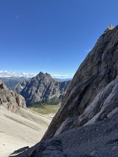 © Markus HuterbergerUstvarjeno na 31.08.2025
 © Markus HuterbergerUstvarjeno na 31.08.2025
 © Markus HuterbergerUstvarjeno na 31.08.2025
 © Markus HuterbergerUstvarjeno na 31.08.2025
 © Daniel HerzUstvarjeno na 20.08.2024
 © Daniel HerzUstvarjeno na 20.08.2024
 © Daniel HerzUstvarjeno na 20.08.2024
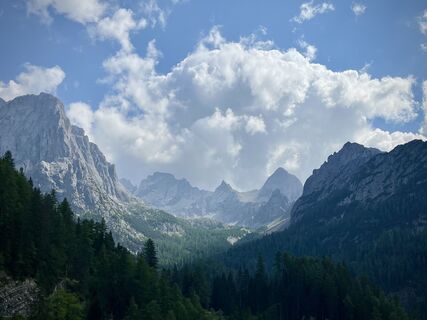 © Daniel HerzUstvarjeno na 20.08.2024
 © Daniel HerzUstvarjeno na 20.08.2024
 © Daniel HerzUstvarjeno na 20.08.2024
 © Christian BurgerUstvarjeno na 12.07.2023
 © Christian BurgerUstvarjeno na 12.07.2023
 © Christian BurgerUstvarjeno na 12.07.2023


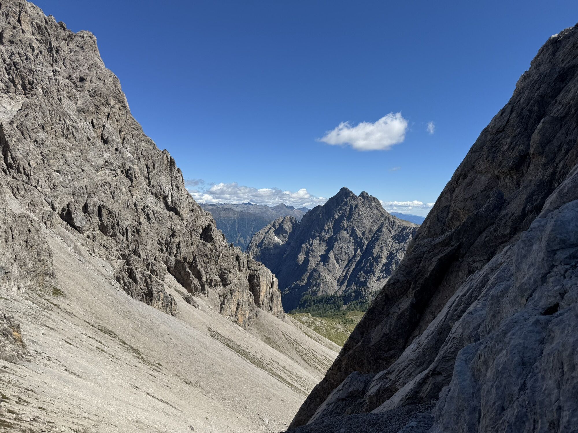

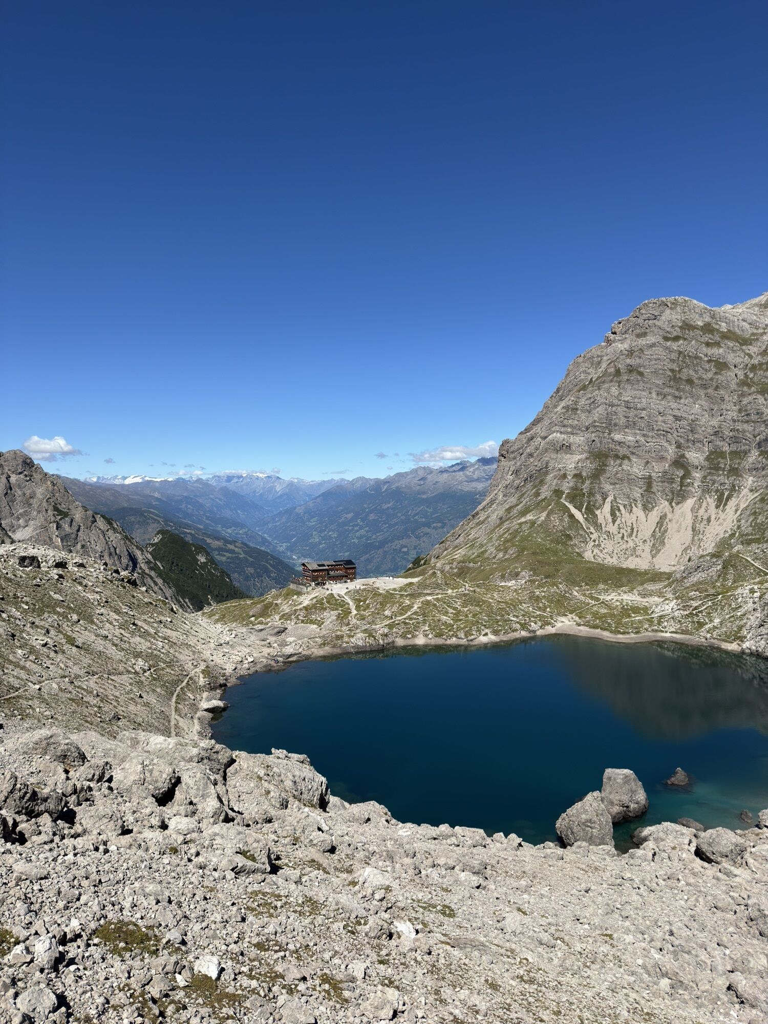


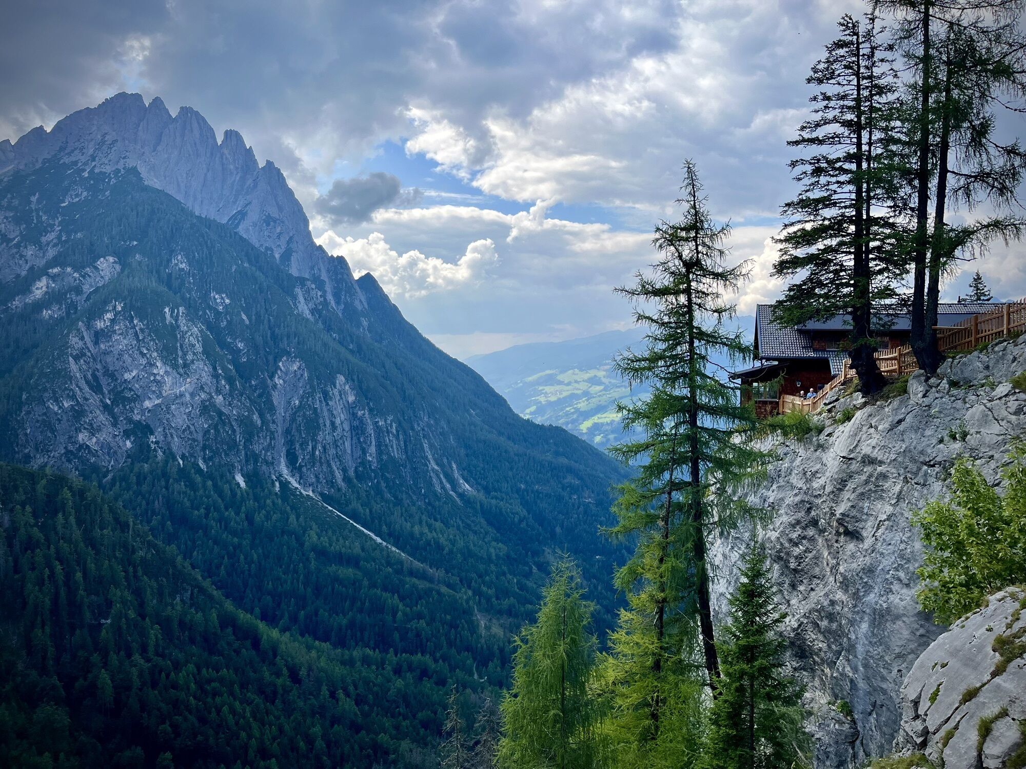
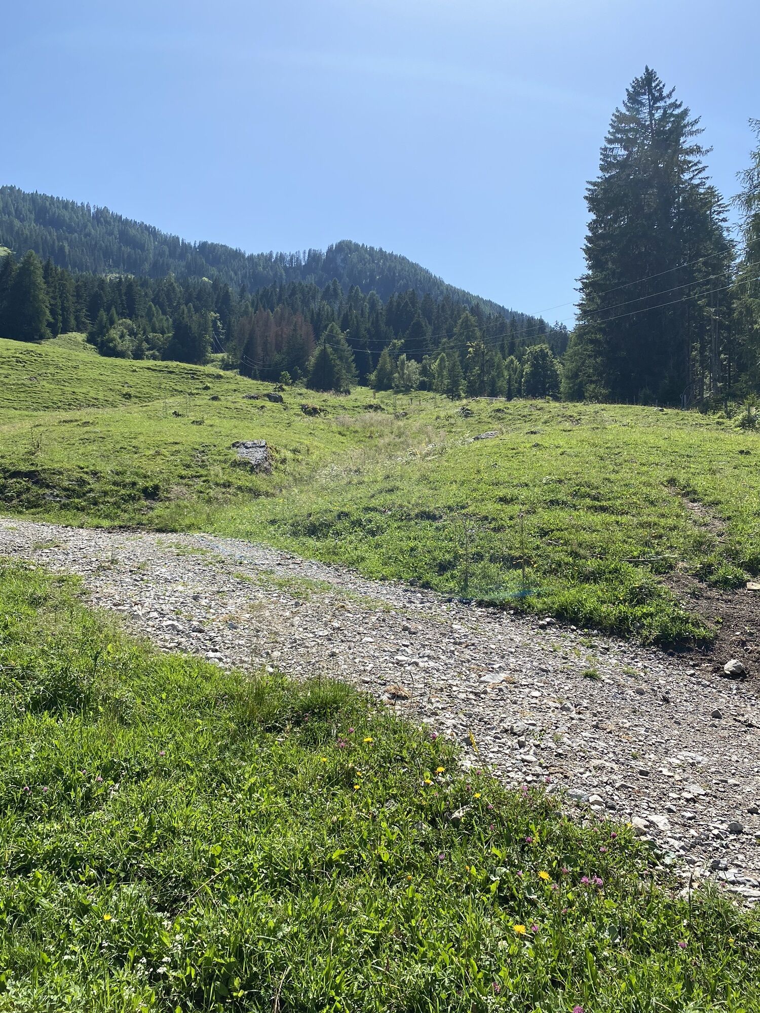


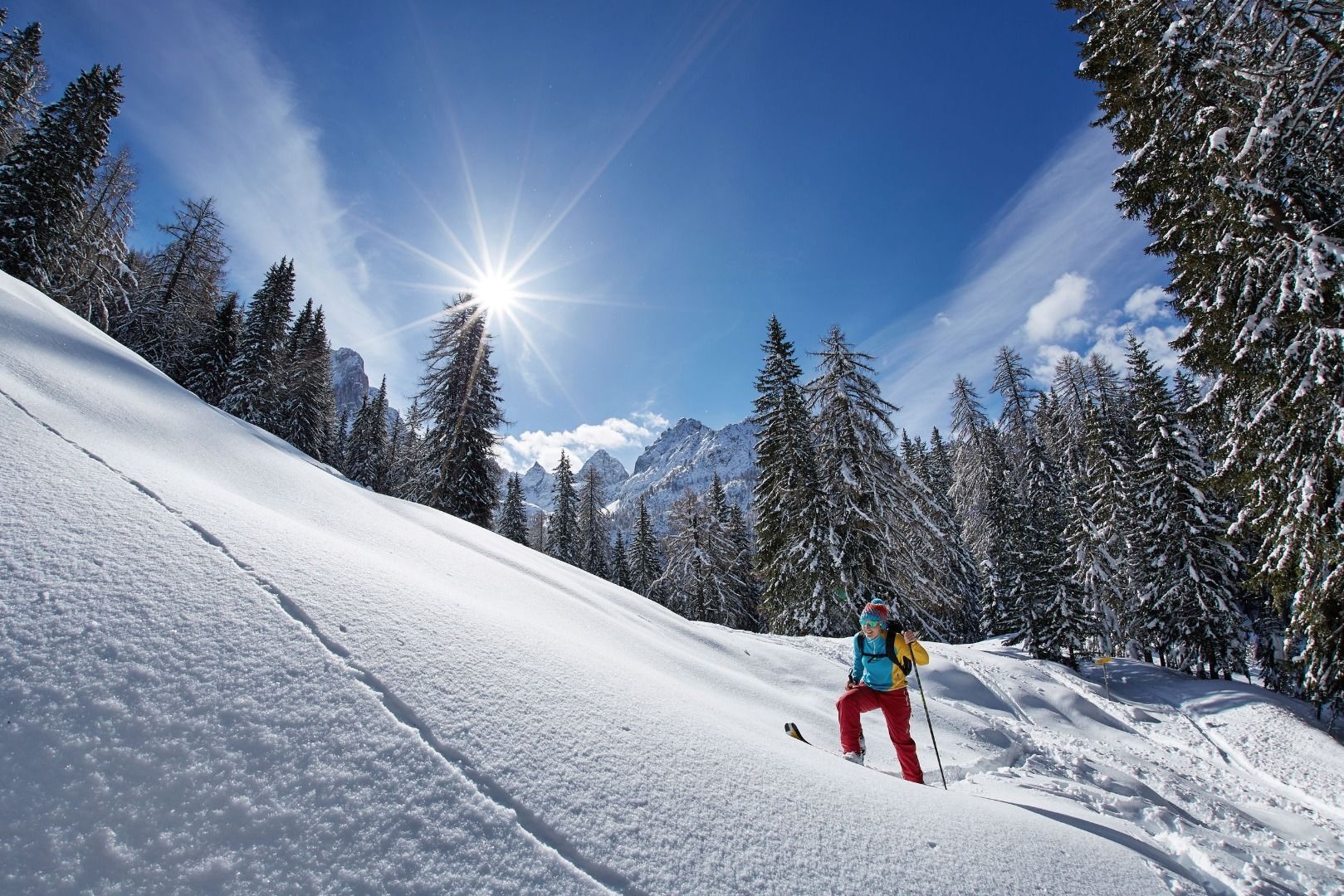
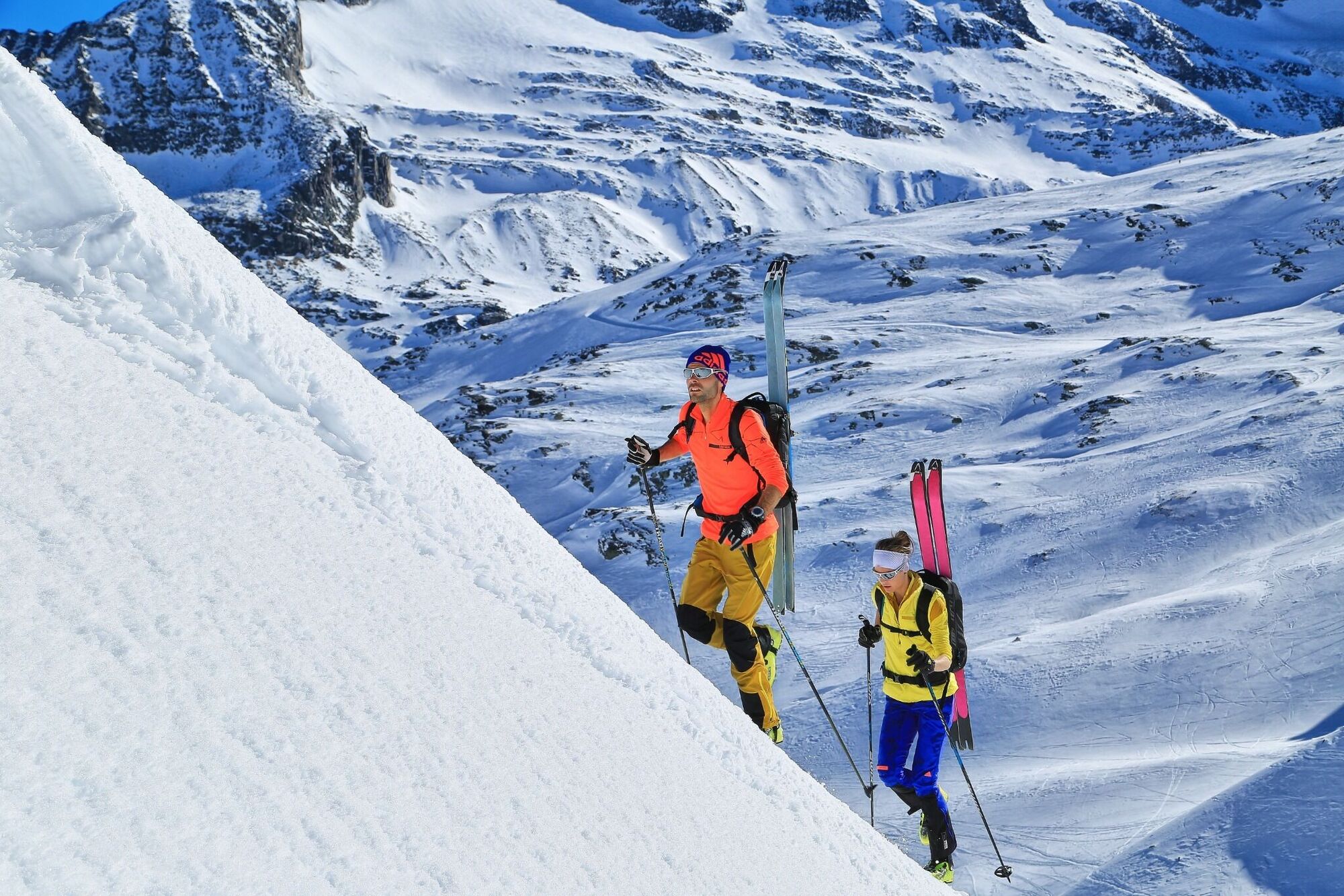
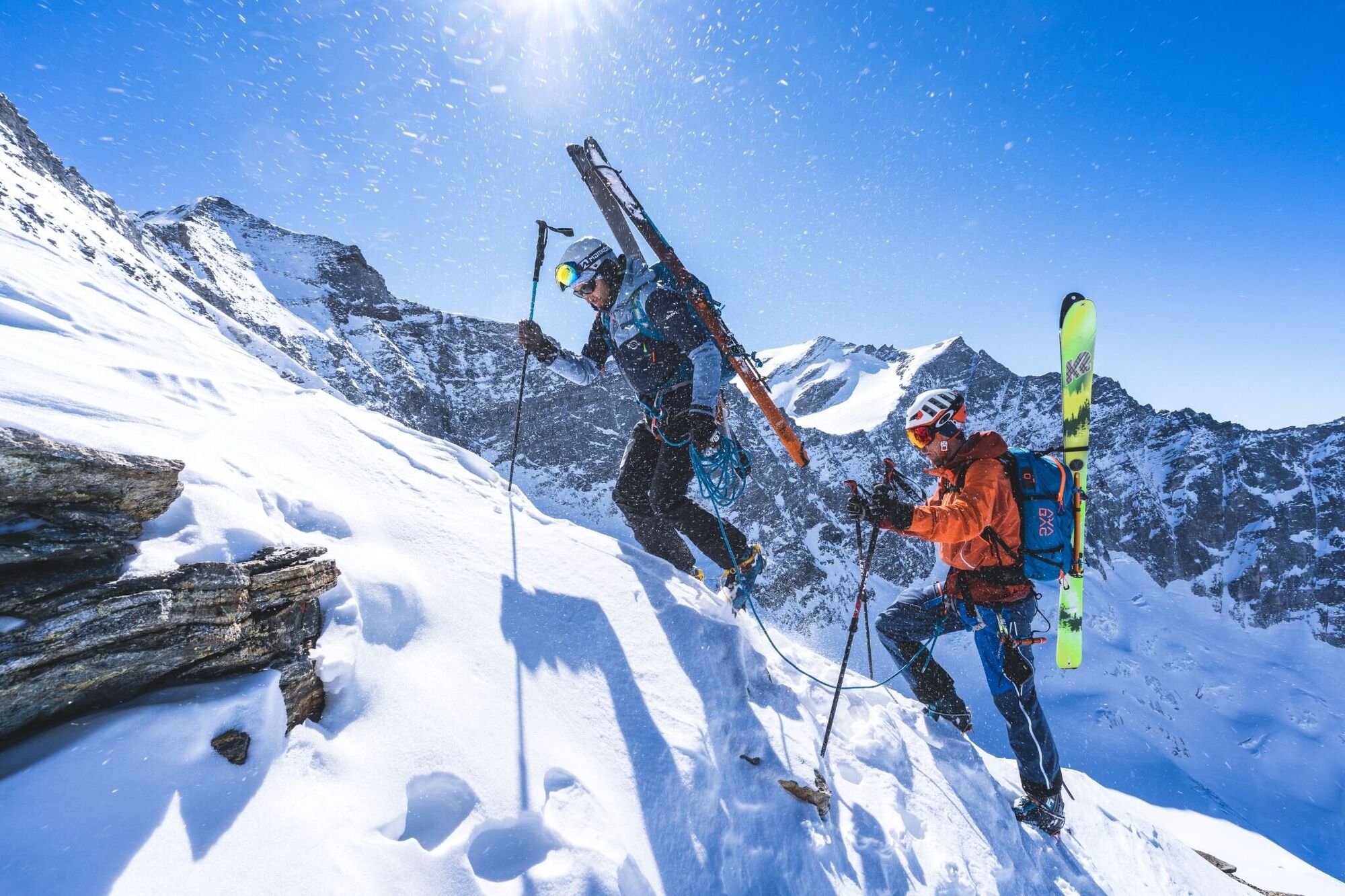
The Grubenspitze, an impressive pyramid mountain in the eastern wings of the Lienz Dolomites, is one of the ski touring gems in East Tirol. At one time only the reserve of a handful of extreme tourers,...
The Grubenspitze, an impressive pyramid mountain in the eastern wings of the Lienz Dolomites, is one of the ski touring gems in East Tirol. At one time only the reserve of a handful of extreme tourers, this tour has in the interim been done almost every winter depending on the snow conditions. The platy north-facing wall, graded as climbing difficulty level IV in the summer, is the ascent. It proceeds like a ruler to the highest point. That the tour can only be tackled when snow and avalanche conditions are perfect, hopefully speaks for itself. What’s more, totally safe skiing, without any falls, is required to conquer the 40 to 45 degree incline of the 150 metres altitude of the flank. The best conditions are for the most part from March when this plate armour is covered with plenty of snow, making it possible to ascend and descend. The starting point for this adventure-filled ski tour is Dolomitenhütte (1610m, large parking area), which we get to from the town of Tristach, to the south east of Lienz. In the depths of winter the ascent to the same is closed on account of the toboggan route which is open and you have to start from Kreithof (1050 m, paying car park). The track follows the wide trail in the Laserzkessel and, truncating the route several times, in 1 ½ hours you get to Karlsbaderhütte (2260m). The ascent now proceeds east to the deeply incised Laserztörl (2497 m), which we use to cross into Lavanteralm Tal, where our tour destination lies. The steep west slopes are often windswept and should be approached with the requisite care and attention. The same applies to the descent on the east side. From the Törl it is now a good 240 metres altitude, with or without skin skins to cross, losing as little altitude as possible, to around 2260 m, in the hidden high corrie beneath the Grubenspitze. The view to the cliff face opens up before us and in several hairpin bends we climb in a south-westerly direction through the corrie up to a flat section on the north ridge, which also provides a ski storage area and provides a perfect view for the final steep metres of altitude. Notably, the ‘Fels Warze’, is some 100 metres altitude above us. Beneath this, depending on the conditions with or without crampons, we carry our skis, heading left. An ascending crossing brings us to the short, yet narrow eastern ridge to the left of the summit. Please note – this section is close to the ridge and is often more windswept than the rest of the cliff face. Via the ridge we get, without much difficulty, to the highest point in just a few steps. The following descent is the reserve of experts, otherwise you would be better advised to proceed on foot! Descent along the ascent track and around 45 minutes – 1 hour counter climb to the Laserztörl.
Additional ski tour tips can be obtained in the ski tour guides by Thomas Mariacher. These are available here: http://www.grafikzloebl.at/verlag/buecher/
Drive from Lienz to Tristach, through the village and on to the sports field. Turn right towards Tristach Lake. Continue until you reach the Kreithof.
Kreithof car park.
Priljubljeni izleti v okolici
- 4,8
Lienzer Dolomiten-Lasertörl
srednjaPohodništvo13,2 km - 5,0
Ederplan round from the parking lot Stronach
srednjaPohodništvo7,19 km - 4,2
Pirknerklamm
srednjaVia ferrata1,99 km - 4,7
Anna Schutzhaus am Ederplan
srednjaPohodništvo2,76 km - 3,9
Summit hike to the Hochstadel
srednjaPohodništvo7,83 km - 4,8
Böses Weibele - Pustertaler Höhenweg
srednjaPohodništvo13,2 km - 2,6
Lienzer Dolomiten: Karlsbader Hütte und Laserzwand
svetlobaPohodništvo5,91 km - 5,0
Dolomitenhütte, Rudl-Eller-Weg / Steig, Piccola Ferrata, Laserzsee, Karlsbaderhütte, Dolomitenhütte, Tristach, Österreich
srednjaGorski pohodništvo11,1 km - 4,8
#33: Schleinitz Klettersteig, 3 Gipfel Runde (B)
srednjaVia ferrata10,6 km - 3,2
Straßkopf
srednjaSmučarska tura10,6 km
Pohodništvo in sledenje


Ne zamudite ponudb in navdiha za naslednje počitnice
Vaš e-poštni naslov je bil dodan na poštni seznam.