


01 - In the footsteps of the UCI World Cycling Championships
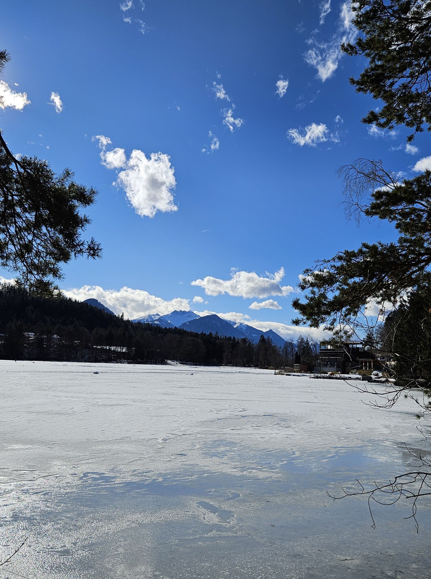
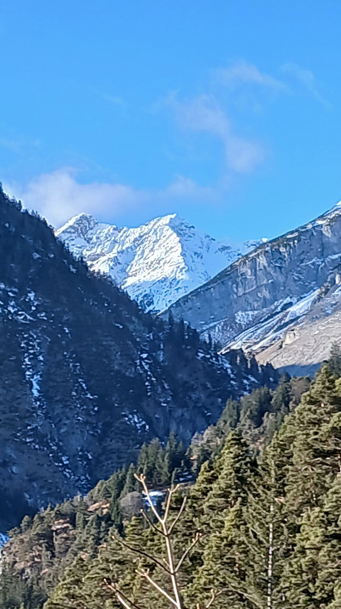
Fotografije naših uporabnikov

 © Andrea CappellaUstvarjeno na 03.05.2026
 © Hansprobst97Ustvarjeno na 02.05.2026
 © Hansprobst97Ustvarjeno na 02.05.2026
 © Hansprobst97Ustvarjeno na 02.05.2026
 © Johann Langreiter 1Ustvarjeno na 01.05.2026
 © Andrea CappellaUstvarjeno na 01.05.2026
 © daheUstvarjeno na 07.03.2026
 © József VéghUstvarjeno na 18.09.2025
 © tomwiedemairUstvarjeno na 31.08.2025
 © Wilhelm BöningUstvarjeno na 27.08.2025
 © Daniel UnterlechnerUstvarjeno na 17.07.2025
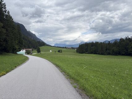 © Daniel UnterlechnerUstvarjeno na 17.07.2025
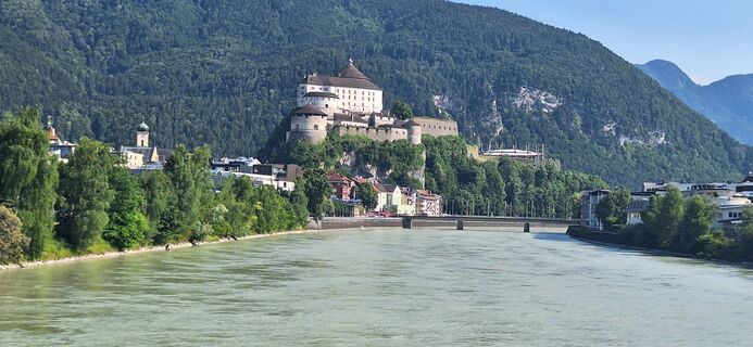 © Ernst PürimayrUstvarjeno na 20.06.2025
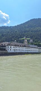 © Ernst PürimayrUstvarjeno na 20.06.2025
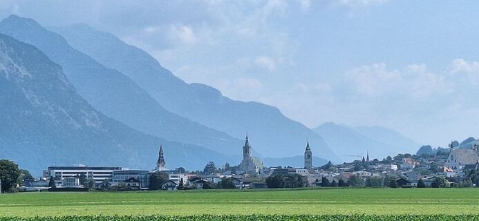 © Ernst PürimayrUstvarjeno na 20.06.2025
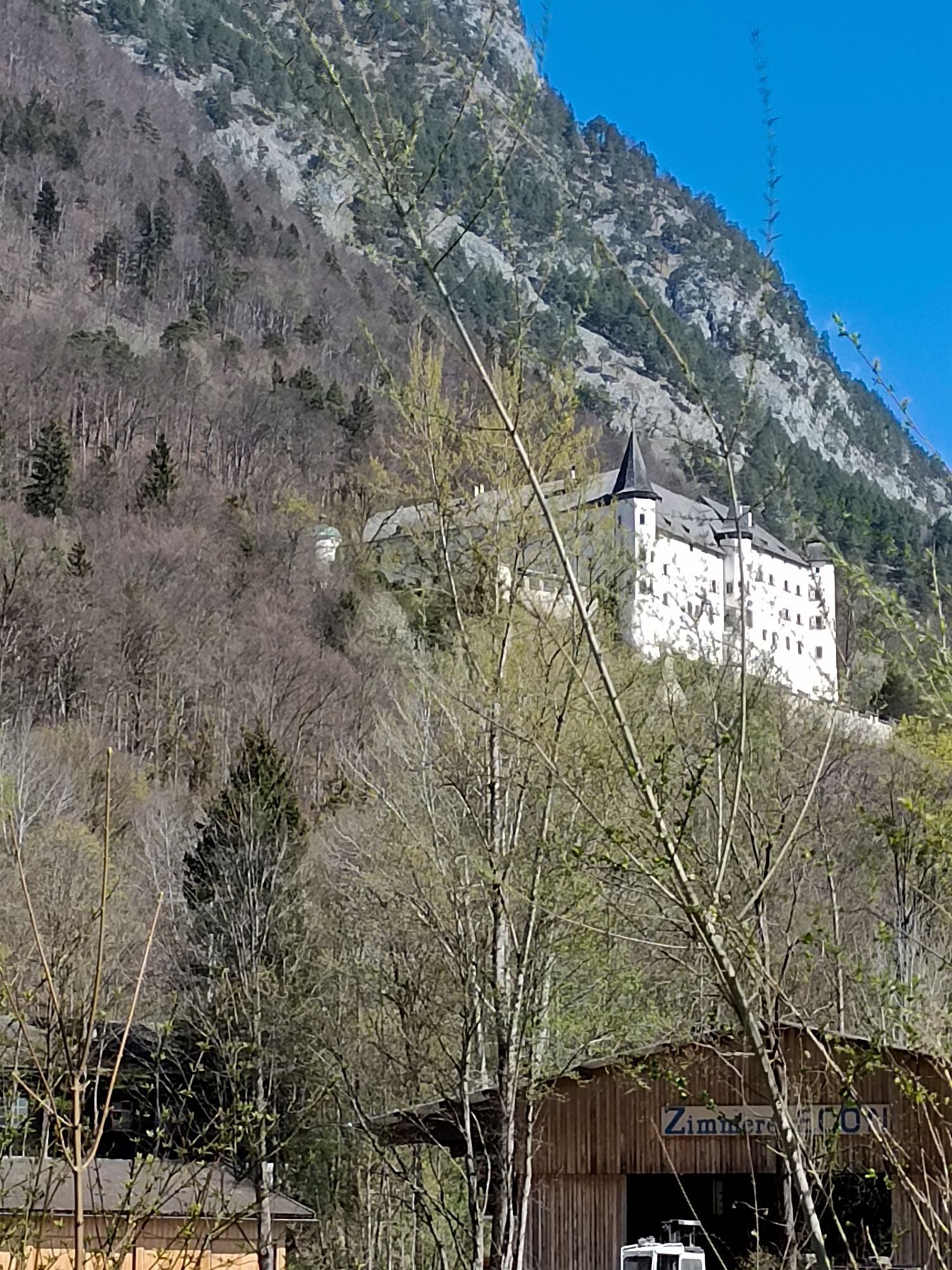
 © Josef Sepp NagillerUstvarjeno na 26.04.2026
 © Josef Sepp NagillerUstvarjeno na 26.04.2026
 © Josef Sepp NagillerUstvarjeno na 26.04.2026
 © Josef Sepp NagillerUstvarjeno na 26.04.2026
 © Martin WeningerUstvarjeno na 18.04.2026
 © Monika JeskovaUstvarjeno na 18.04.2026
 © Martin WeningerUstvarjeno na 18.04.2026
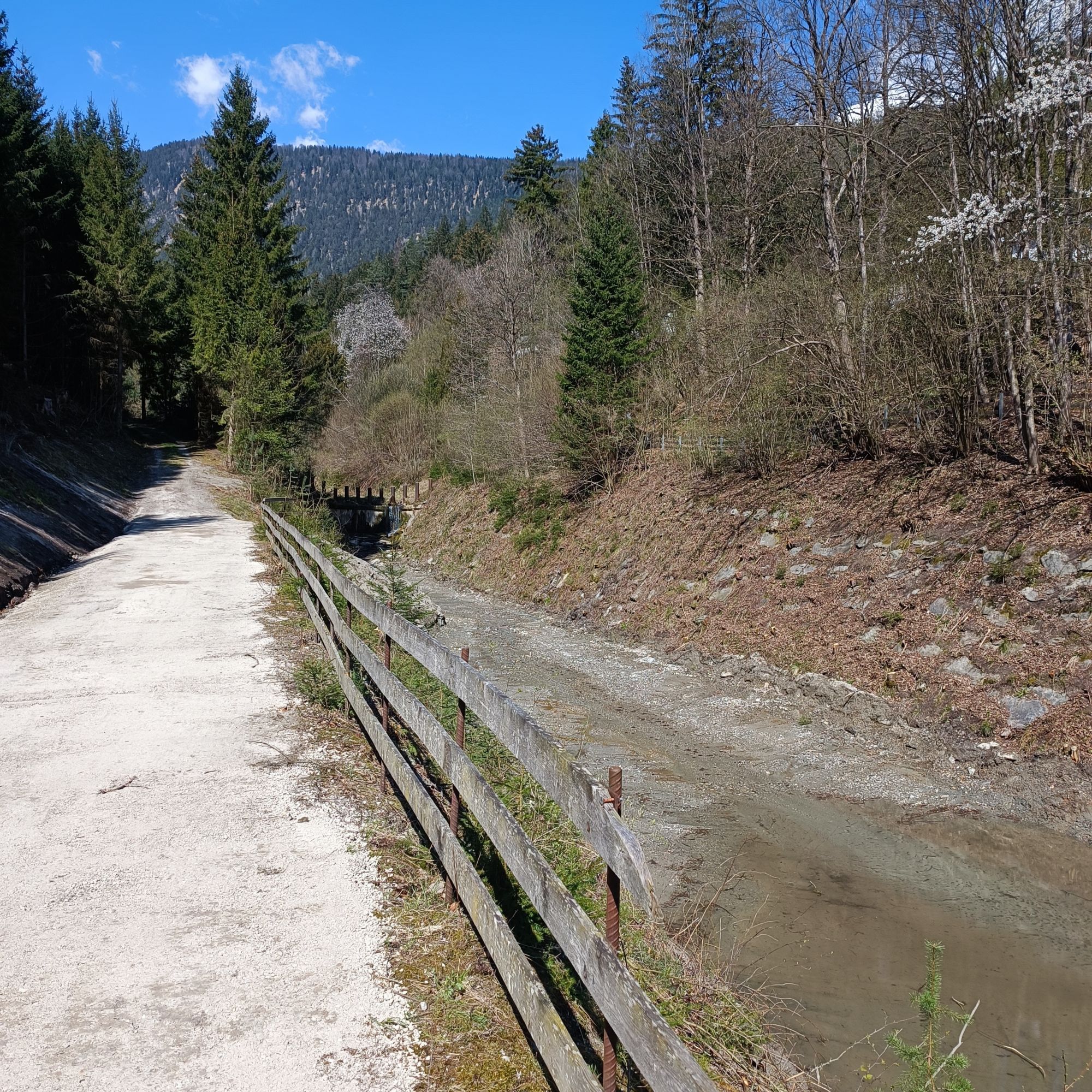
 © Britta1982Ustvarjeno na 03.02.2026
 © Britta1982Ustvarjeno na 03.02.2026
 © Britta1982Ustvarjeno na 03.02.2026
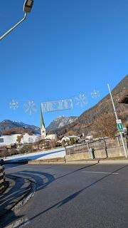
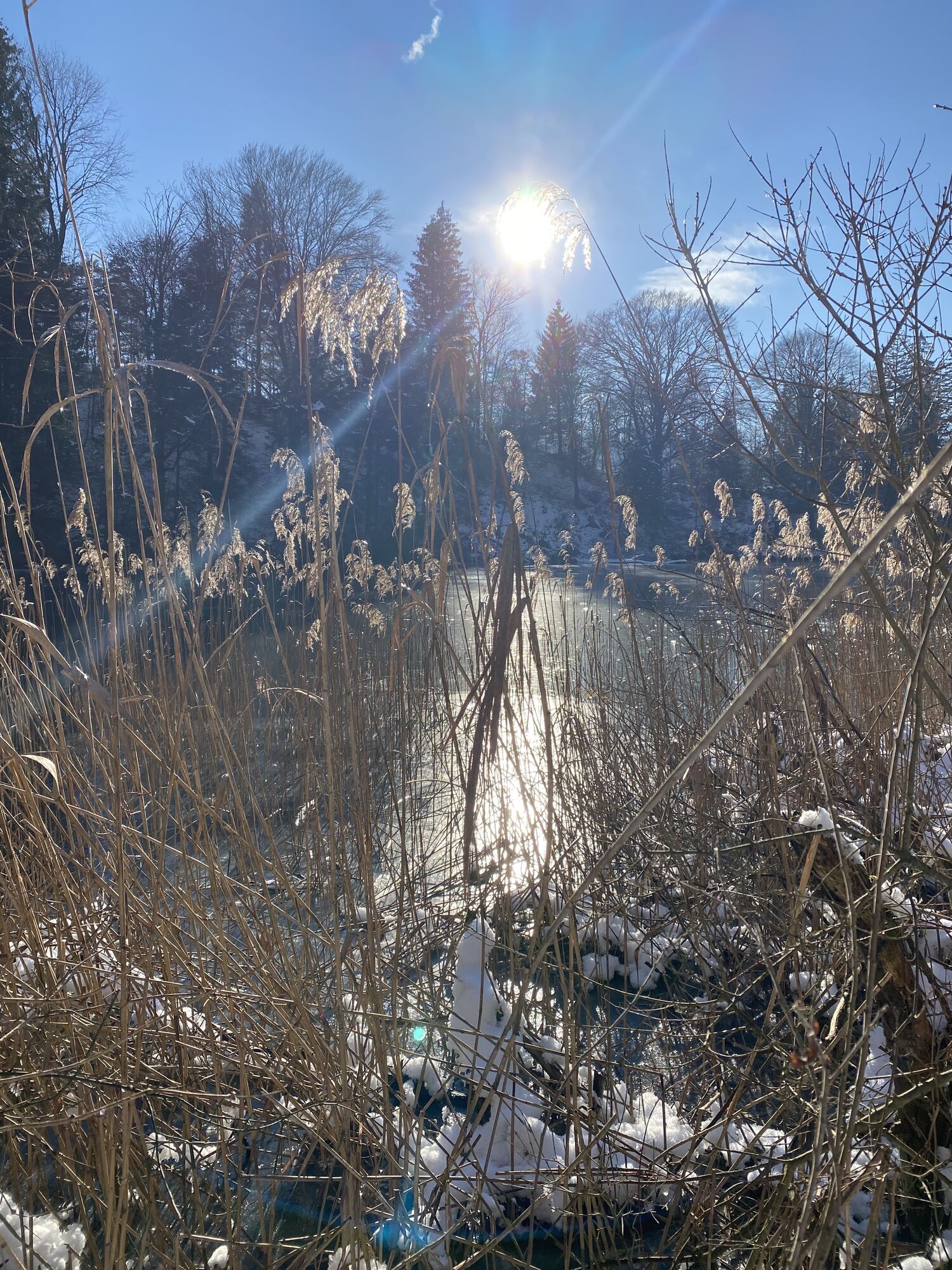
 © Gronos _Ustvarjeno na 02.02.2026
 © Josef Sepp NagillerUstvarjeno na 18.01.2026
 © Philipp WeritzUstvarjeno na 31.12.2025
 © Mea MiraUstvarjeno na 23.12.2025
 © Hans Auer 2Ustvarjeno na 22.07.2025
 © Stefan OttoUstvarjeno na 07.07.2025
 © Stefan OttoUstvarjeno na 07.07.2025
 © WilfriedUstvarjeno na 08.04.2025
 © WilfriedUstvarjeno na 08.04.2025
 © Martin Heinrich 1Ustvarjeno na 06.04.2025
 © Sven KrieblinUstvarjeno na 28.12.2024
 © Sven KrieblinUstvarjeno na 28.12.2024
 © Korbinian AstnerUstvarjeno na 04.06.2023
 © Jakob VidlerUstvarjeno na 03.04.2023
 © Jakob VidlerUstvarjeno na 03.04.2023


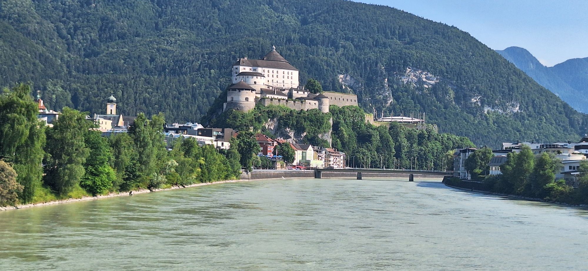
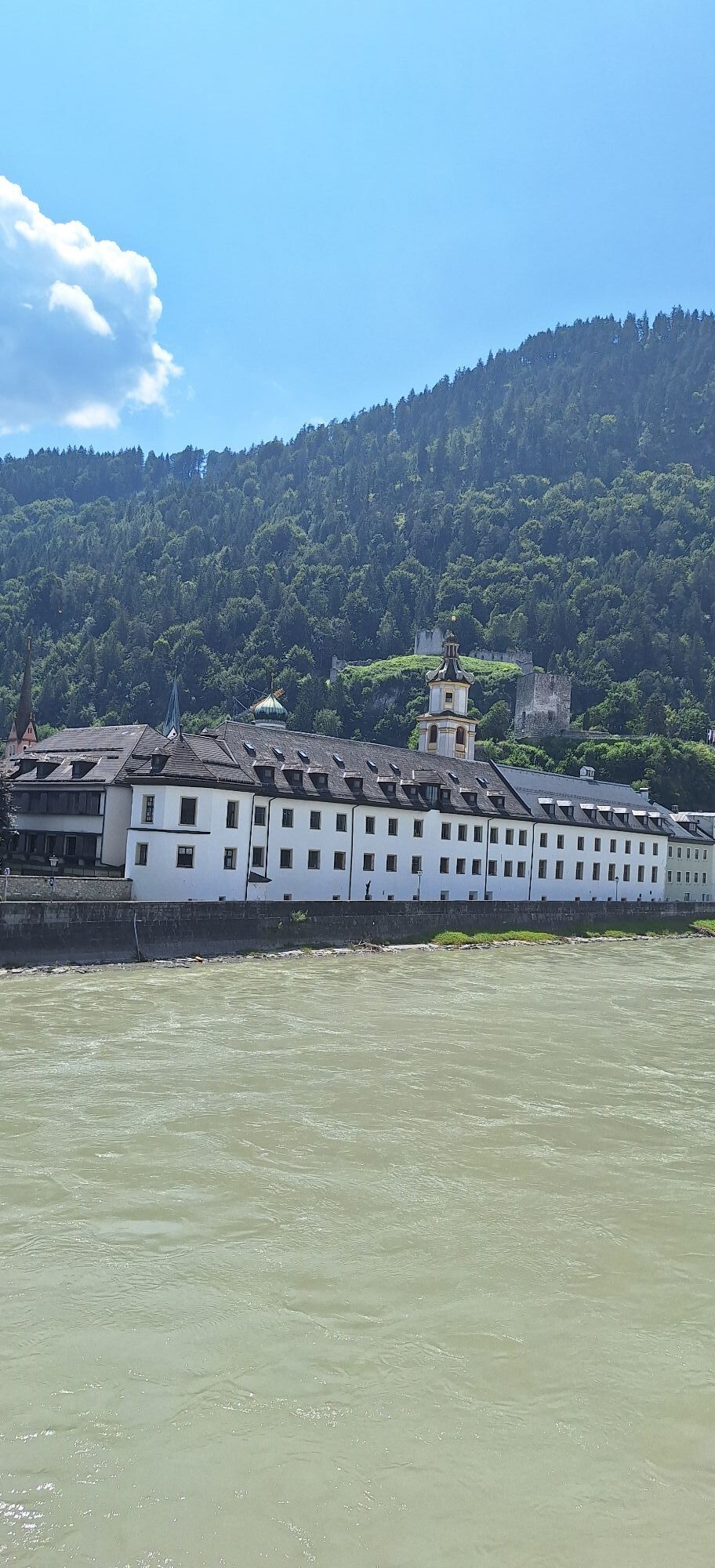


Start is like with the professionals at the upper town square in Kufstein. But we leave the neutralized lap out and start directly south. Over the sunny plateau Schwoich and Bad Häring we quickly descend...
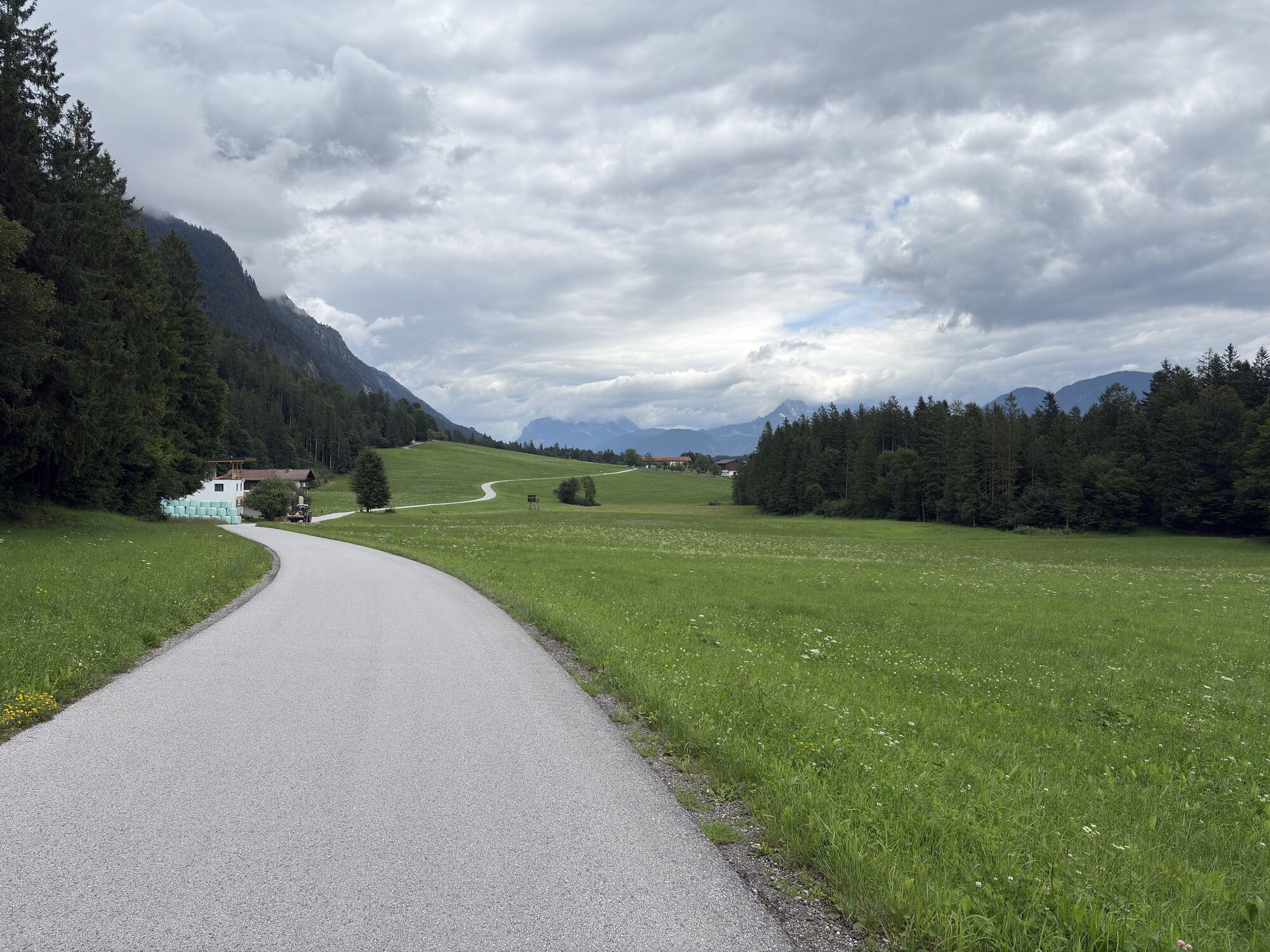
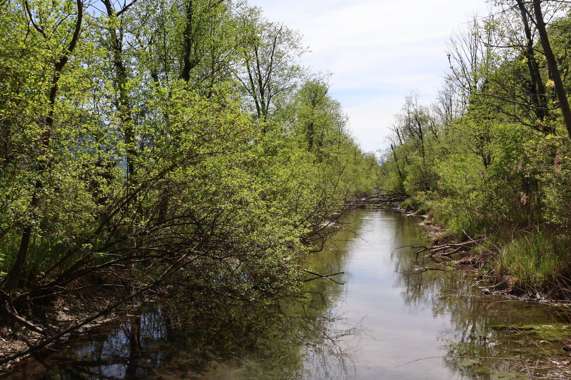
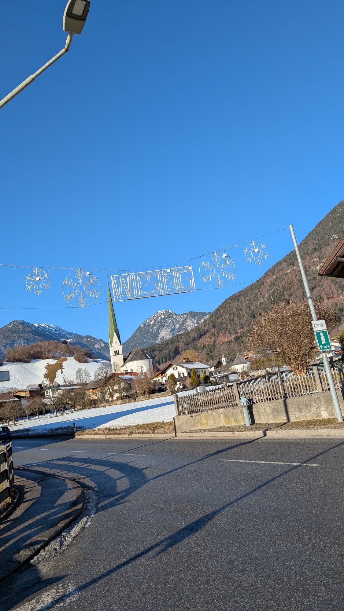
Start is like with the professionals at the upper town square in Kufstein. But we leave the neutralized lap out and start directly south. Over the sunny plateau Schwoich and Bad Häring we quickly descend towards Kirchbichl. From there, the route leads through the picturesque pilgrimage site of Mariastein and on over the quiet roads to Angerberg, always towards the Reintaler lakes. Until Kramsach we are on the original route. Since we want to avoid the busy main road between Brixlegg and Schwaz (unfortunately, our trip is not closed by a police escort and track marshal), we take the much more pleasant roads via Münster, Wiesing and Jennbach to Vomperbach. There one comes again on the original course up to Gnadenwald. Here the ascent waits relentlessly for the calves. The descent to Hall offers relaxation. Due to the traffic, it is better not to venture into Innsbruck, especially as many parts of the route are not really passable due to the pedestrian zone. In Hall, the turning point is back. Via Fritzens, Pill and then on the same route as on the outward journey, one gets to Rattenberg, always in reasonably flat terrain. There, one once again takes a last ascent from Breitenbach am Inn to Schönau in order to enjoy the idyllic roads in the direction of Langkampfen and back to Kufstein.
Cycling helmet, comfortable cycling clothing, change of clothes, wind protection, cycling gloves, possibly rucksack with water bottle and food, first aid equipment, possibly service/repair kit, cycling map, tour description and information material (GPX track), ID card, insurance card, cash
From the Inntal motorway A12, take the Kufstein Nord exit.
Kufstein main railway station is only a few minutes' walk from the starting point.
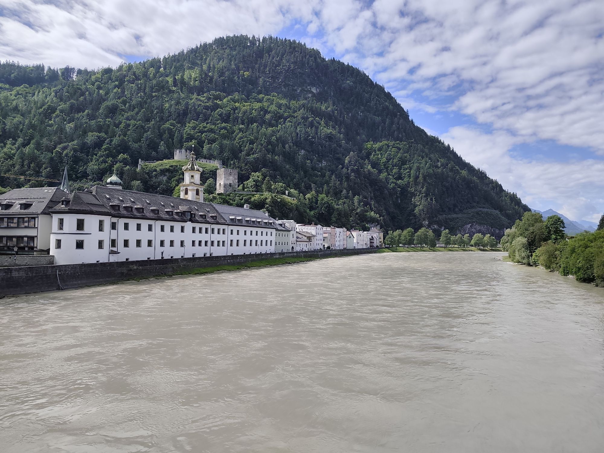
Kufstein centre
Spletne kamere s turneje
Rofan - Seilbahn Bergstation
Thiersee - Mitterland - Schneeberglifte
Thiersee - Mitterland - Schneeberglifte
Schwaz/Kogelmoos
Thiersee - Mitterland - Schneeberglifte
Thiersee - Mitterland - Schneeberglifte
Pinzgerhof Reith i.A.
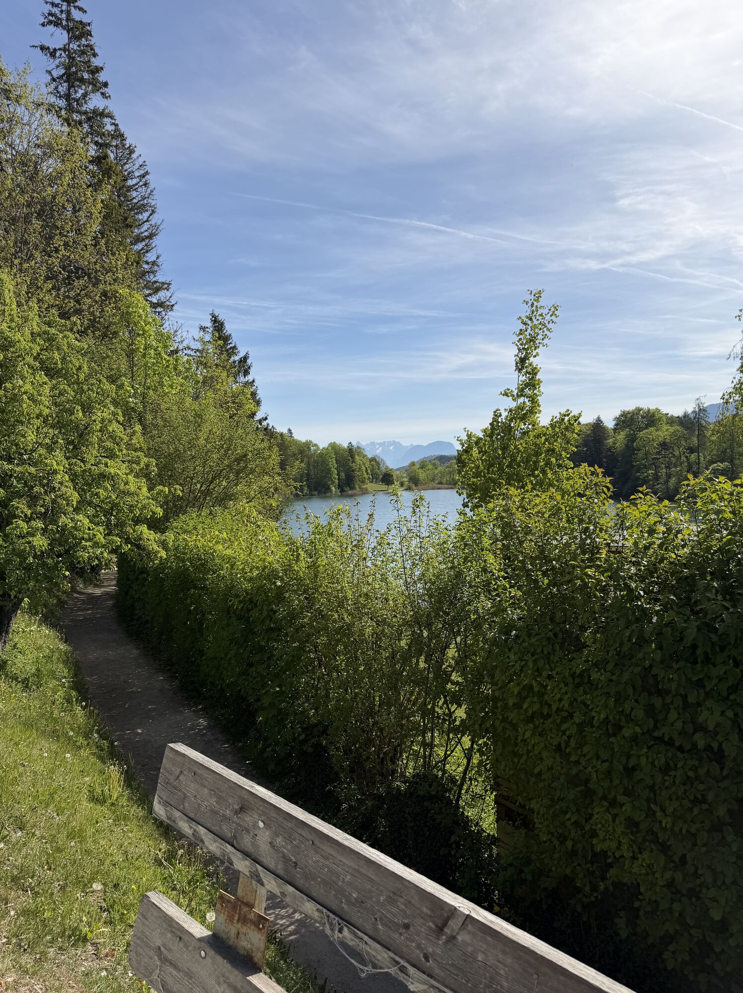
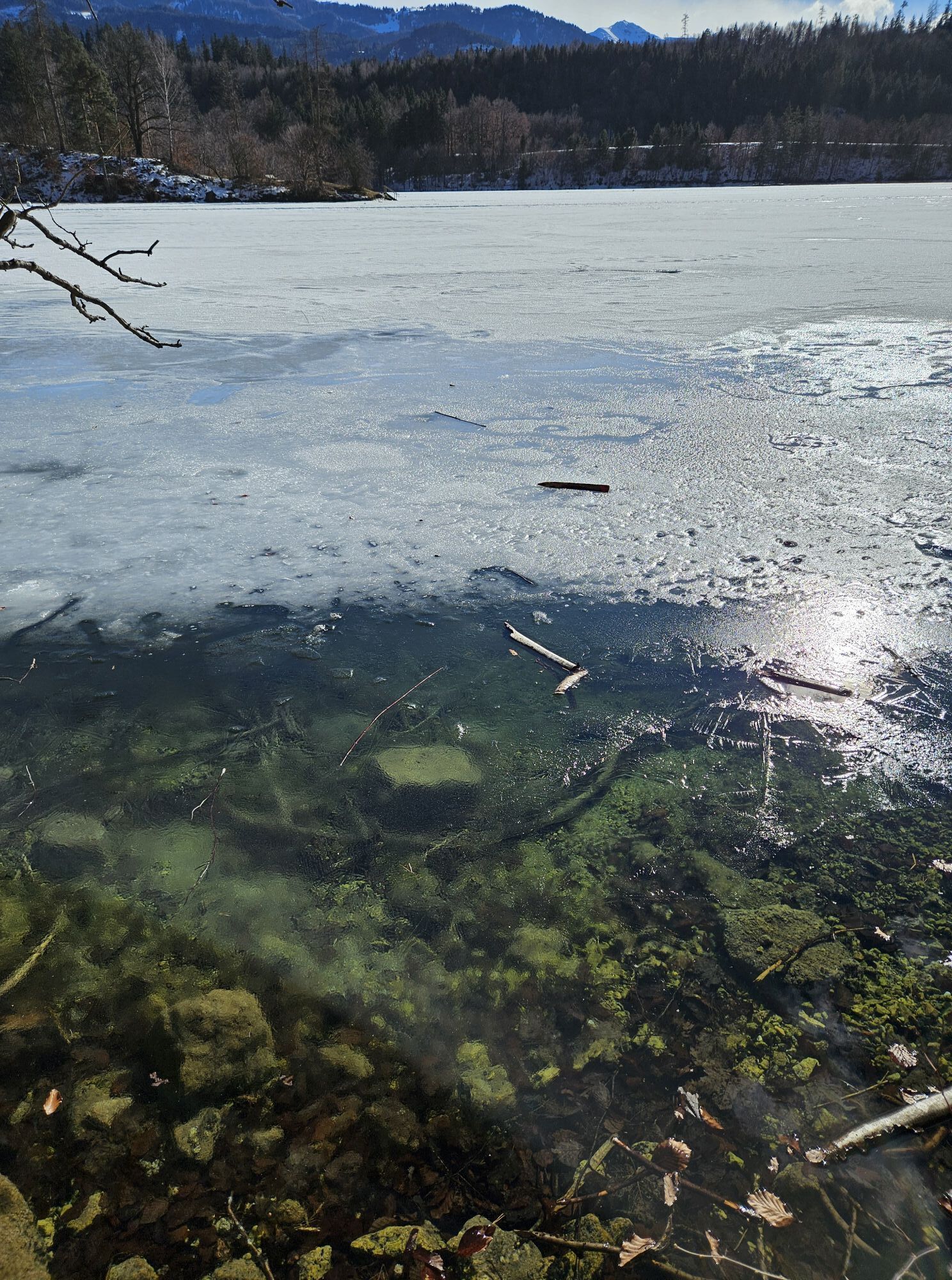
Reintalersee, Kramsach
Kinderland Rinn
Hüttegglift
Alpbachtal - Reitherkogelbahn
Brandenberg Dorf
Maurach
Maurach - Rofan
Weinbergerhaus - Brentenjoch
Thiersee - Mitterland - Schneeberglifte
Pendlinghaus - Kufstein
Pendlinghaus - Kufstein
Hall in Tirol - Heiligkreuz
Badesee Schlitters
Pillberg - Silberregion Karwendel
Pillberg - Silberregion Karwendel
Pillberg - Silberregion Karwendel
Pillberg - Silberregion Karwendel
Thiersee - Mitterland - Schneeberglifte
Silberstadt Schwaz
Silberstadt Schwaz
Silberstadt Schwaz
Silberstadt Schwaz
Silberstadt Schwaz
Wattens - Swarovski Kristallwelten
Thiersee - Ticklhof
Schiestlhof
Hüttegglift
Burglift
Langlaufzentrum Schwoich
Atoll Achensee
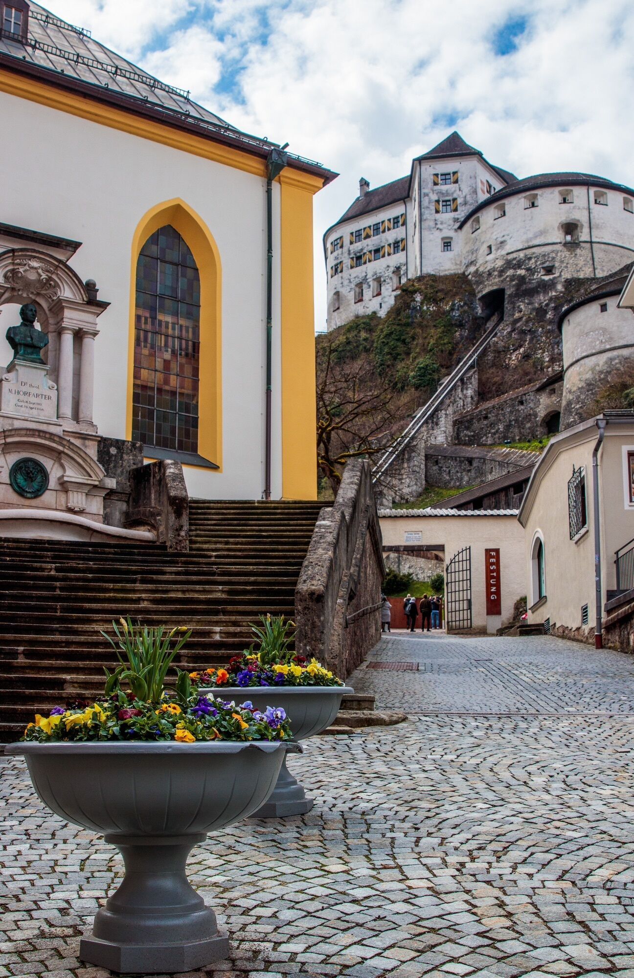
Oberer Stadtplatz
Oberer Stadtplatz
Oberer Stadtplatz
Priljubljeni izleti v okolici
- 4.4
Den Panoramaweg um das Wiedersbergerhorn
Pohodništvo 3.40 km - 5.0
Eben - Astenau Alpe - Ebner Joch - Eben
srednjaPohodništvo 7.82 km - 4.8
Bergstation Rofan Seilbahn - Dalfaz Alm - Bergstation Rofan Seilbahn
svetlobaPohodništvo 4.94 km - 4.5
Maurach - Dalfaz Alm - Dalfazer Wasserfall - Maurach
srednjaPohodništvo 10.4 km - 4.6
Gütenberg und Feilkopf
svetlobaPohodništvo 10.4 km - 4.6
Uferweg von Pertisau zur Gaissalm am Achensee, Österreich
srednjaPohodništvo 5.16 km - 4.6
Achensee-Umrundung
srednjaPohodništvo 23.3 km - 4.5
Wandern zum Bärenkopf
srednjaPohodništvo 10.9 km - 4.5
Wolfsklamm über Maria Tax
srednjaPohodništvo 5.50 km - 4.8
Hochiss und Gschöllkopf mit Rofanbahn
srednjaPohodništvo 6.40 km
Pohodništvo in sledenje


Ne zamudite ponudb in navdiha za naslednje počitnice
Vaš e-poštni naslov je bil dodan na poštni seznam.