



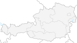


Lehner Waterfall via ferrata | Längenfeld
Stopnja težavnosti: C
In 2014, the Lehner Waterfall via ferrata was extended with the left variant. The new variant, which runs to the left, is a via ferrata highlight for experts that you won’t find twice so quickly. After...
In 2014, the Lehner Waterfall via ferrata was extended with the left variant. The new variant, which runs to the left, is a via ferrata highlight for experts that you won’t find twice so quickly. After a slight traverse, the first overhang with the highest difficulty level (E) must be climbed. This variant is not suitable for children. The original route, which runs to the right of the waterfall, is significantly easier than the new variant but still requires strength, surefootedness, and alpine experience. At the original exit, you can test your strength on the short but difficult overhang. The overhang can be bypassed on the left by an easier variant. A hiking trail 50 meters above the exit leads to the new suspension bridge, so everyone can enjoy the new highlight.
Climbing length and time required
220 vertical meters and 430 m of rope length. 1.5 - 2 hours for the right exit and 2.5 - 3 hours for the left exit, with the descent 3 - 3.5 hours.

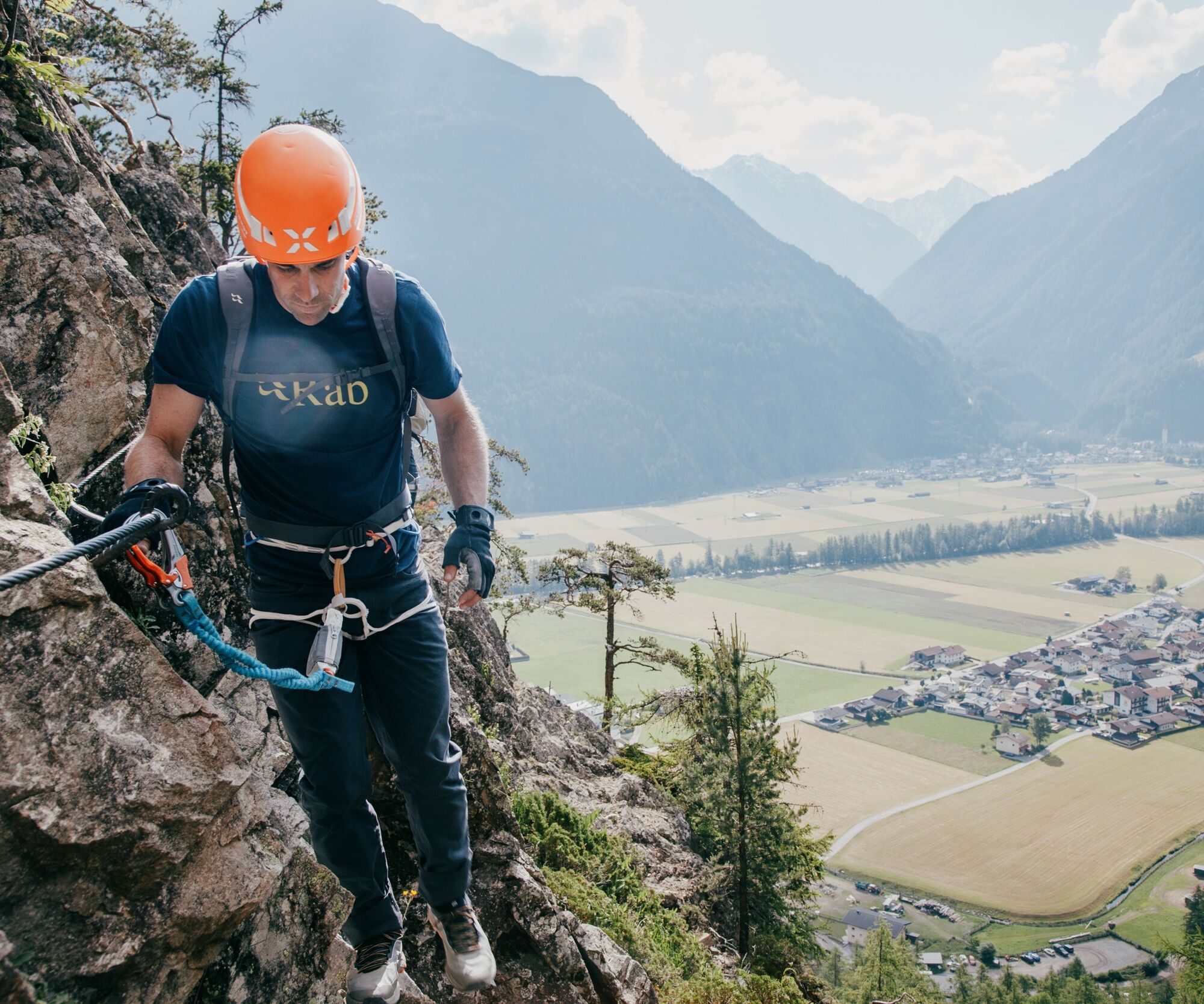
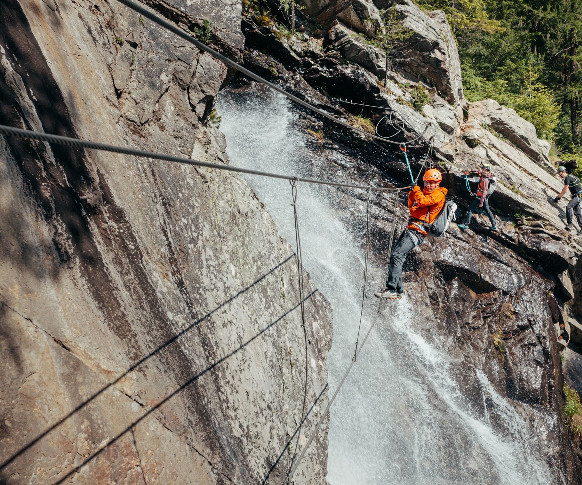
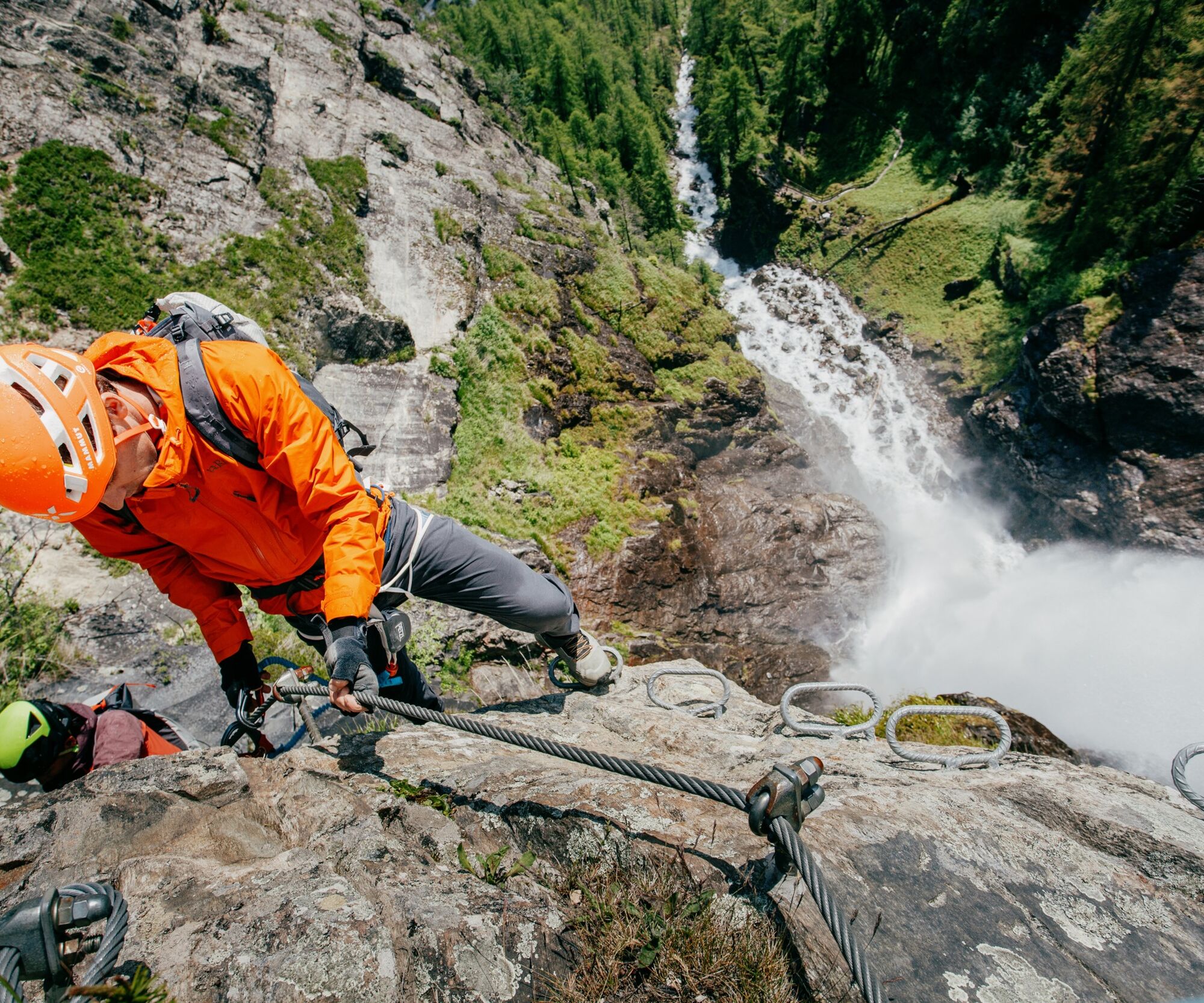

Initially vertical entry wall C, with slight interruptions over two short steep sections B to the viewing corner, ascending traverse B/C, steeper wall build-up again to the overhang D (bypass possible), then over a rock ledge B and a steep exit wall B to the descent. Left variant: shortly before the overhang of the right exit, the variant branches off, starting with difficulty A/B directly below the waterfall, followed by the most difficult section with 20 meters E (very difficult), then continues with difficulties from A-C to the suspension bridge. The 35-meter-long bridge leads to the exit.
Descent
From the right exit, ascend to the left then either via the suspension bridge or on the hiking trail to the upper exit. From here descend to Lehn.
Da
Depending on the climbing route, appropriate equipment such as breathable and weather-appropriate outdoor clothing, helmet, climbing harness with via ferrata set, via ferrata gloves, and suitable footwear is required.
SAFETY ON THE VIA FERRATA
The Austrian Alpine Club has formulated 10 recommendations for climbing via ferratas to increase safety:
Plan carefully
Adapt the objective to your personal conditions
Use complete, standard-compliant equipment
Do not start if there is a risk of thunderstorms
Critically check cables and anchors
Partner check at the start
Keep sufficient distances
Clear communication when overtaking
Watch out for falling rocks
Respect nature and the environment
First Aid
Whether sport climbing or via ferrata tours, you should always carry a first aid kit and a phone with a full battery!
Emergency numbers
140 – Mountain Rescue – Alpine Emergency Call
112 – European Emergency Call (works with any phone & in any available network)
Car travelers reach the valley entrance via the Inn Valley and continue along the Ötztal. In addition to the toll motorway, country roads can also be used. You can quickly and easily plan your drive with the route planner. Route planner: https://www.google.at/maps
Travel comfortably and safely by train to the Ötztal railway station. The final stop or exit point is the ÖTZTAL station. Then you can conveniently and quickly continue by public transport or local taxi companies through the entire valley to your desired destination! The current bus timetable is available at: http://fahrplan.vvt.at
In Längenfeld, district Lehn, the following parking options are available:
- Parking lot south of the local history museum, payable
C
More information about climbing in the Ötztal can be found here.
Spletne kamere s turneje
Niederthai im Ötztal
Niederthai - Alpin Appart
Therme Längenfeld
Therme Längenfeld
Therme Längenfeld
Therme Längenfeld
Therme Längenfeld
Längenfeld - Ortsblick
Stuibenfall
Stuibenfall
Stuibenfall
Stuibenfall
Stuibenfall
Umhausen / Hotel Tauferberg
Umhausen / Hotel Tauferberg
Umhausen / Hotel Tauferberg
Umhausen / Hotel Tauferberg
Umhausen / Hotel Tauferberg
Niederthai - Delano
Niederthai - Delano
Umhausen / Hotel Tauferberg
Pridobite vpogled Vedno v živo na mestu z več kot 9.500 spletnimi kamerami. bergfex Kot uporabnik Pro si lahko zdaj ogledate ustrezne spletne kamere za številne izlete v aplikaciji izleti iz. Tako si lahko neposredno ogledate trenutne razmere. Priljubljeni izleti v okolici
- 4,5
Winnebachsee Hut – Längenfeld/Gries
srednjaPohodništvo 4,74 km - 4,2
Hike Stuibenfall - Umhausen
svetlobaPohodništvo 2,95 km - 4,4
Stuibenfall Umhausen circular hike
svetlobaPohodništvo 9,32 km - 4,3
Amberger Hut - Längenfeld/Gries
srednjaPohodništvo 5,60 km - 4,5
Oetz - Piburger See - Oetz
srednjaPohodništvo 7,16 km - 4,4
Rundwanderung Hängebrück3
svetlobaPohodništvo 6,32 km - 4,7
Winter circular route Brandalm/Burgstein - Längenfeld 204
srednjaZimsko pohodništvo 5,44 km - 4,6
Umhausen - Stuibenfall - Umhausen
srednjaPohodništvo 7,94 km - 4,7
Circular hike Bergmahderweg - Niederthai
svetlobaPohodništvo 7,60 km - 4,1
Hohe Geige über Gawinden und den Westgrat
težkoPohodništvo 14,3 km

Pohodništvo in sledenje


Ne zamudite ponudb in navdiha za naslednje počitnice
Vaš e-poštni naslov je bil dodan na poštni seznam.





