


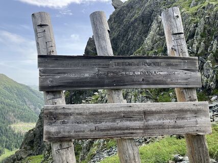
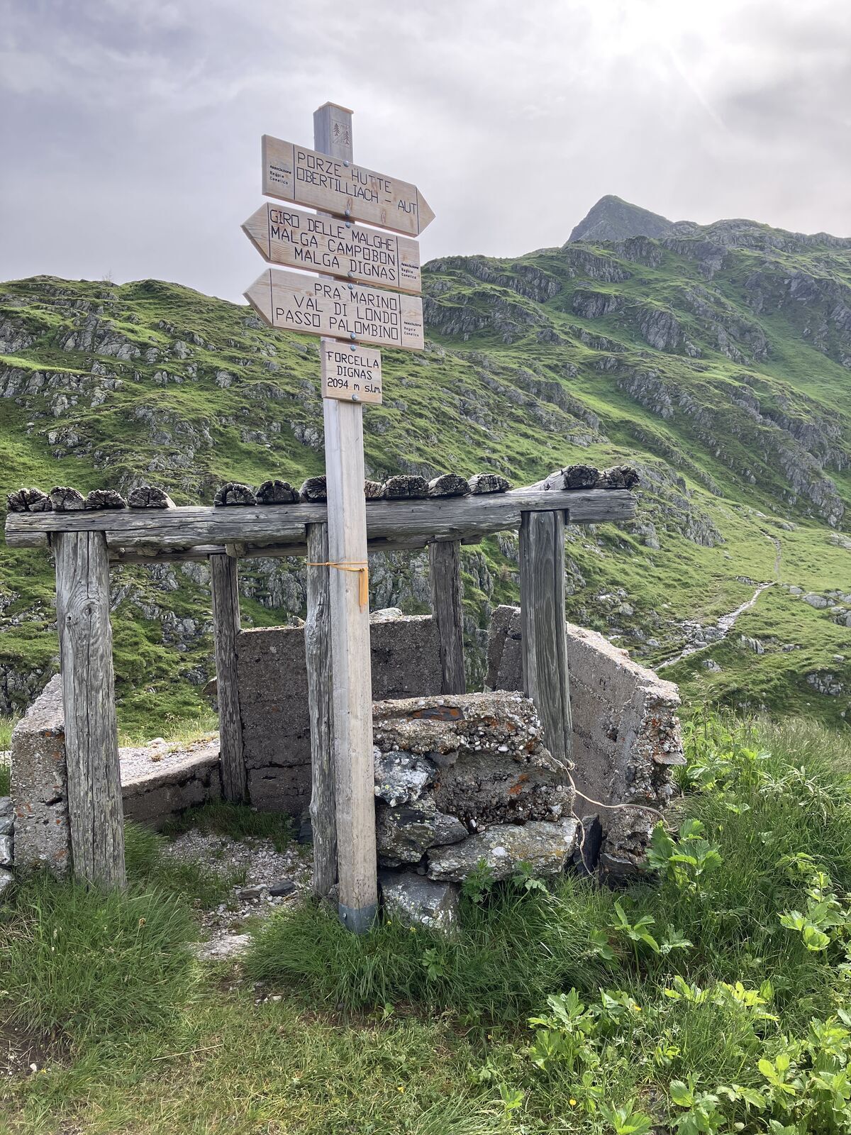
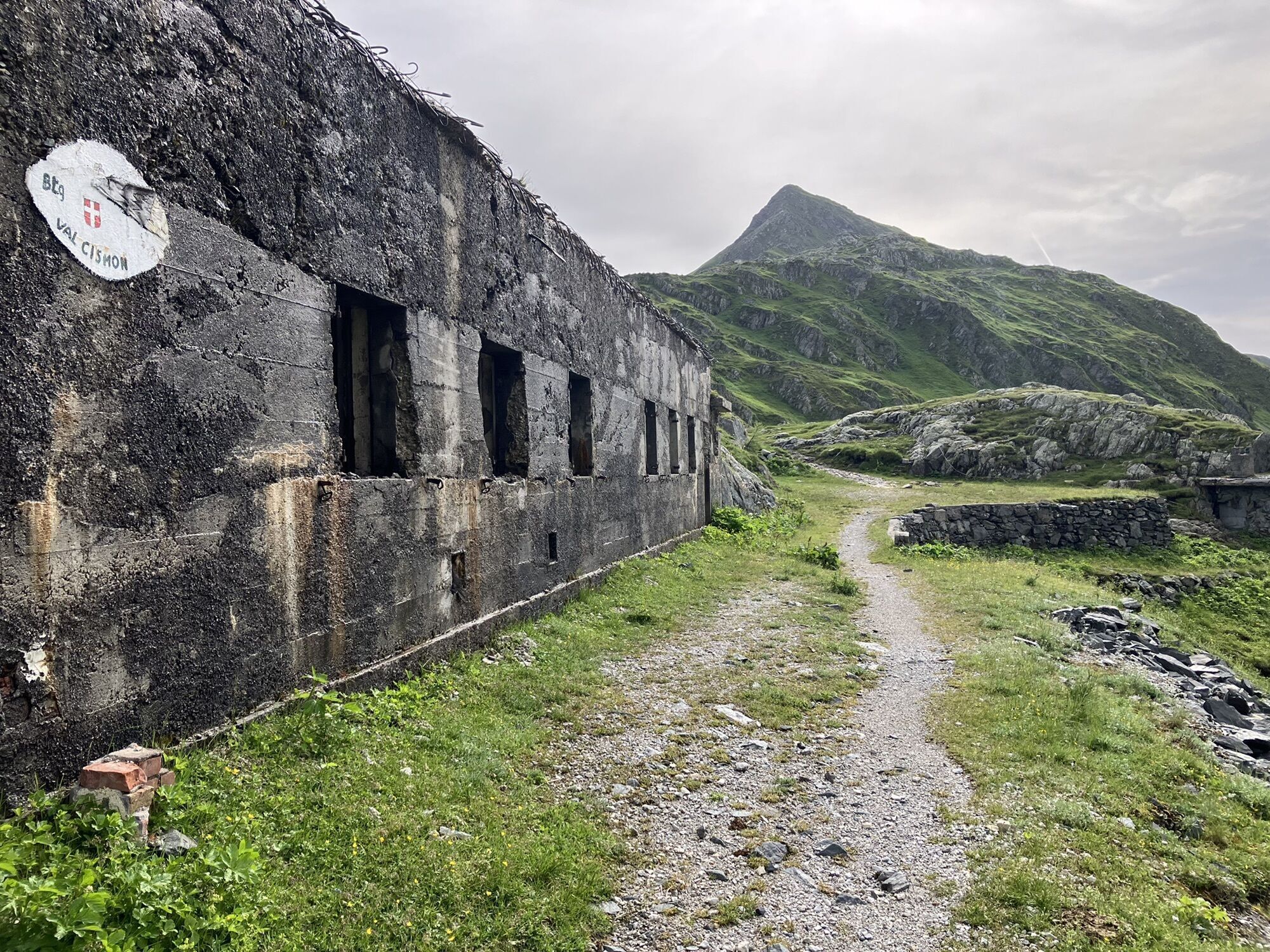
Karnischer Höhenweg – Etappe 2: Obstansersee Hütte – Porzehütte


Fotografije naših uporabnikov
-
 © michelegrassiUstvarjeno na 22.06.2022
 -
 © michelegrassiUstvarjeno na 22.06.2022
 -
 © michelegrassiUstvarjeno na 22.06.2022
 -
 © michelegrassiUstvarjeno na 22.06.2022
 -
 © michelegrassiUstvarjeno na 22.06.2022
 -
 © Juliane JarkeUstvarjeno na 08.08.2025
 -
 © Juliane JarkeUstvarjeno na 08.08.2025
 -
 © Juliane JarkeUstvarjeno na 08.08.2025
 -
 © Juliane JarkeUstvarjeno na 08.08.2025
 -
 © Juliane JarkeUstvarjeno na 08.08.2025
 -
 © Juliane JarkeUstvarjeno na 08.08.2025
 -
 © Juliane JarkeUstvarjeno na 08.08.2025
 -
 © Juliane JarkeUstvarjeno na 08.08.2025
 -
 © michelegrassiUstvarjeno na 05.06.2024
 -
 © michelegrassiUstvarjeno na 05.06.2024
 -
 © michelegrassiUstvarjeno na 05.06.2024
 -
 © michelegrassiUstvarjeno na 30.06.2023
 -
 © michelegrassiUstvarjeno na 22.06.2022
 -
 © michelegrassiUstvarjeno na 22.06.2022
 -
 © michelegrassiUstvarjeno na 22.06.2022
 -
 © michelegrassiUstvarjeno na 22.06.2022
 -
 © michelegrassiUstvarjeno na 22.06.2022
 -
 © michelegrassiUstvarjeno na 22.06.2022
 -
 © michelegrassiUstvarjeno na 22.06.2022
 -
 © michelegrassiUstvarjeno na 22.06.2022


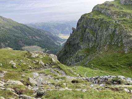
The Karnische Höhenweg is about 150 km long from Sillian to Arnoldstein and can be divided into 8-11 daily stages, a descent into the valley is (almost) possible at any time. Overnight stays in managed...
The Karnische Höhenweg is about 150 km long from Sillian to Arnoldstein and can be divided into 8-11 daily stages, a descent into the valley is (almost) possible at any time. Overnight stays in managed huts are sufficiently available.
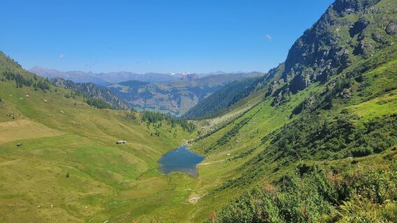
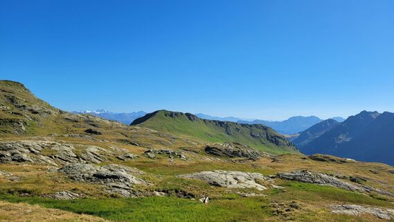
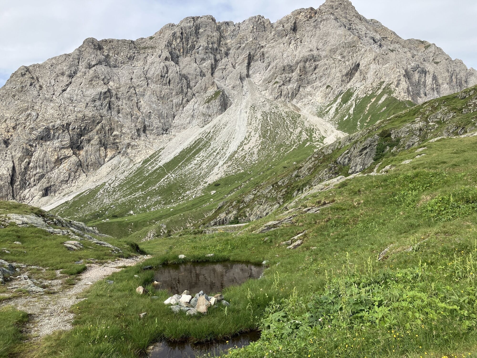
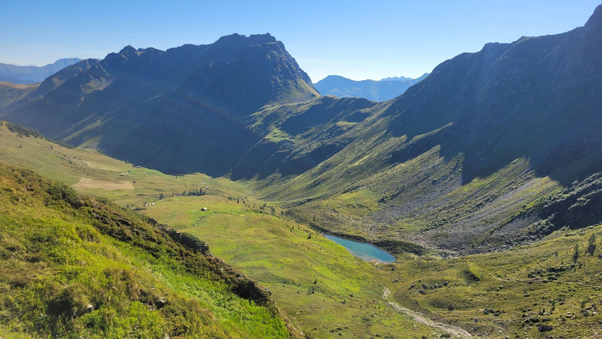
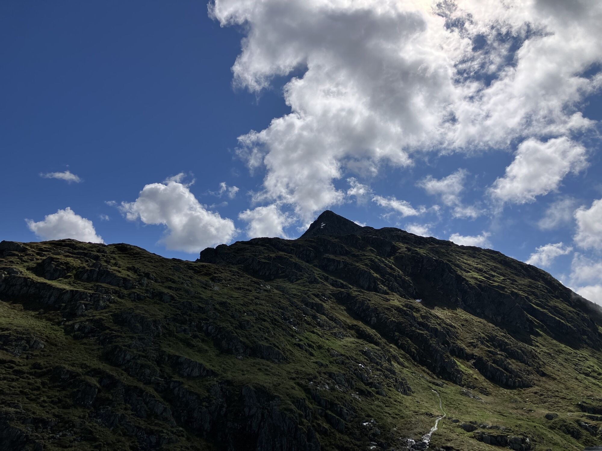
The somewhat longer section east of the Plöckenpass offers a gentle mountain landscape with extensive alpine meadows and easy hiking mountains. West of the Plöckenpass, the more interesting alpine section stretches along the highest peaks of the Carnic Ridge. The alpine long-distance hiking trail leads through a scenically extremely beautiful and varied area.

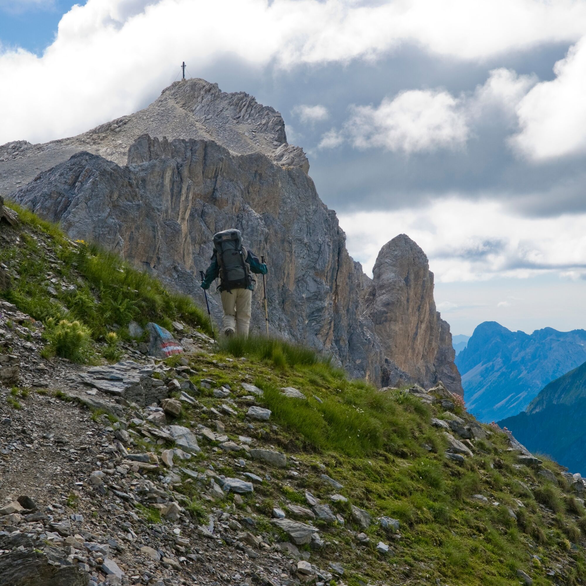
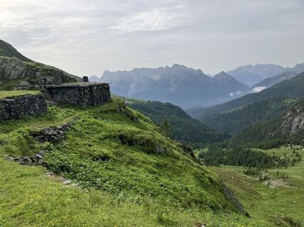
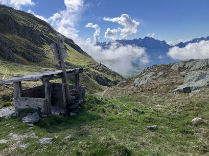
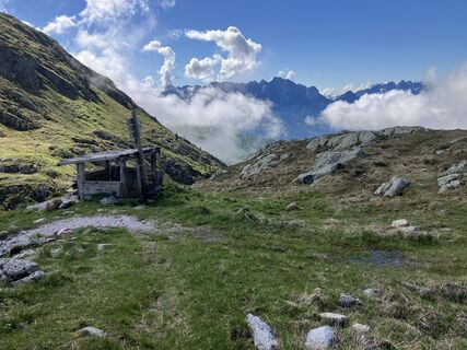
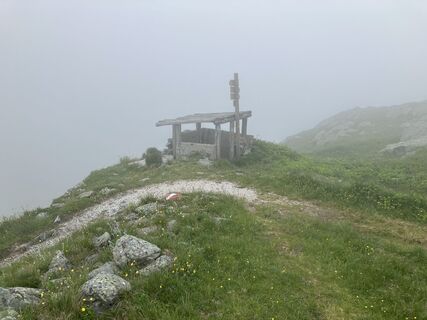
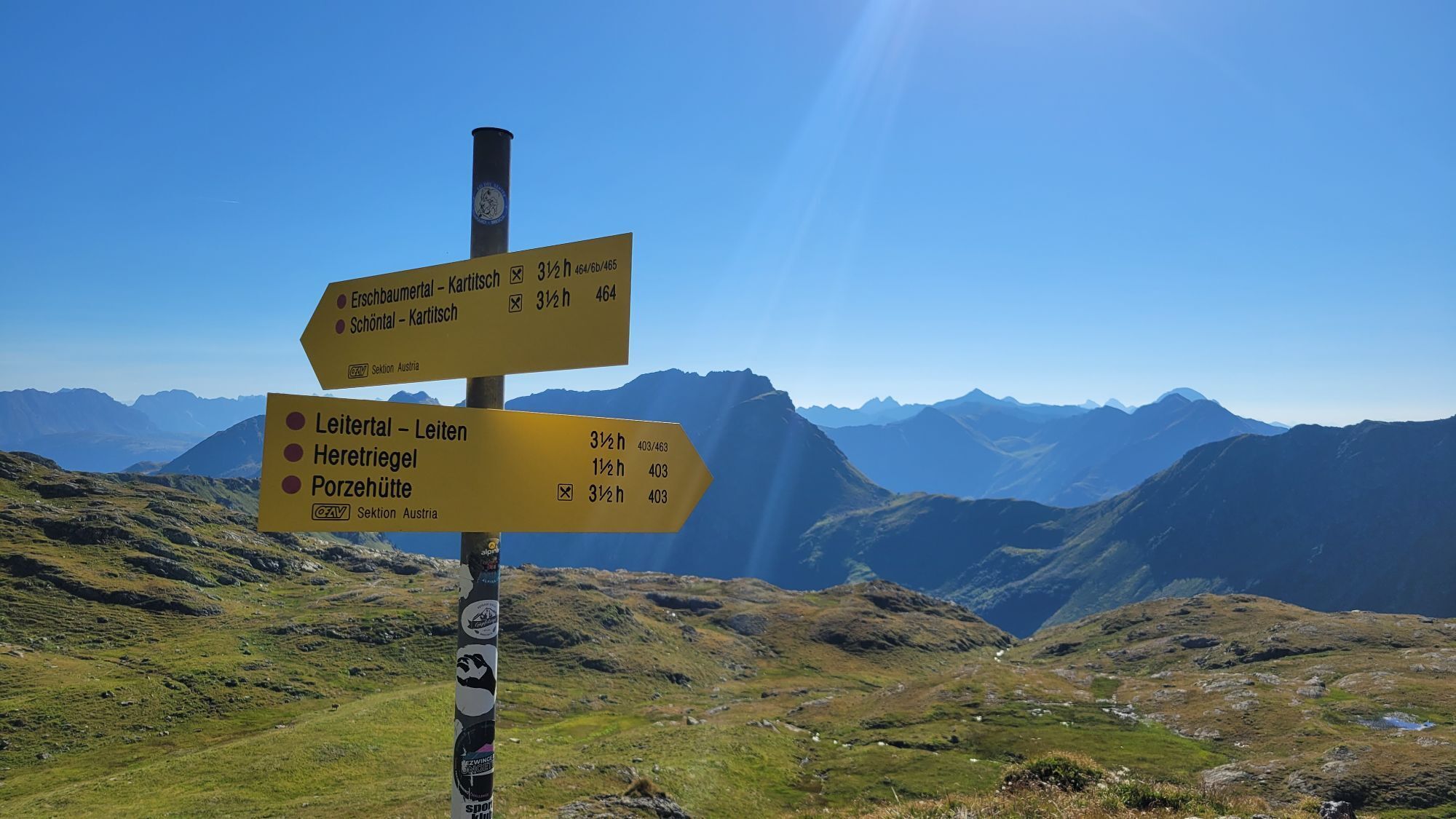
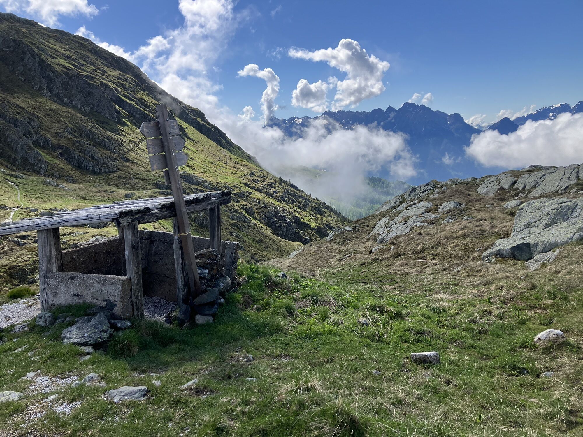
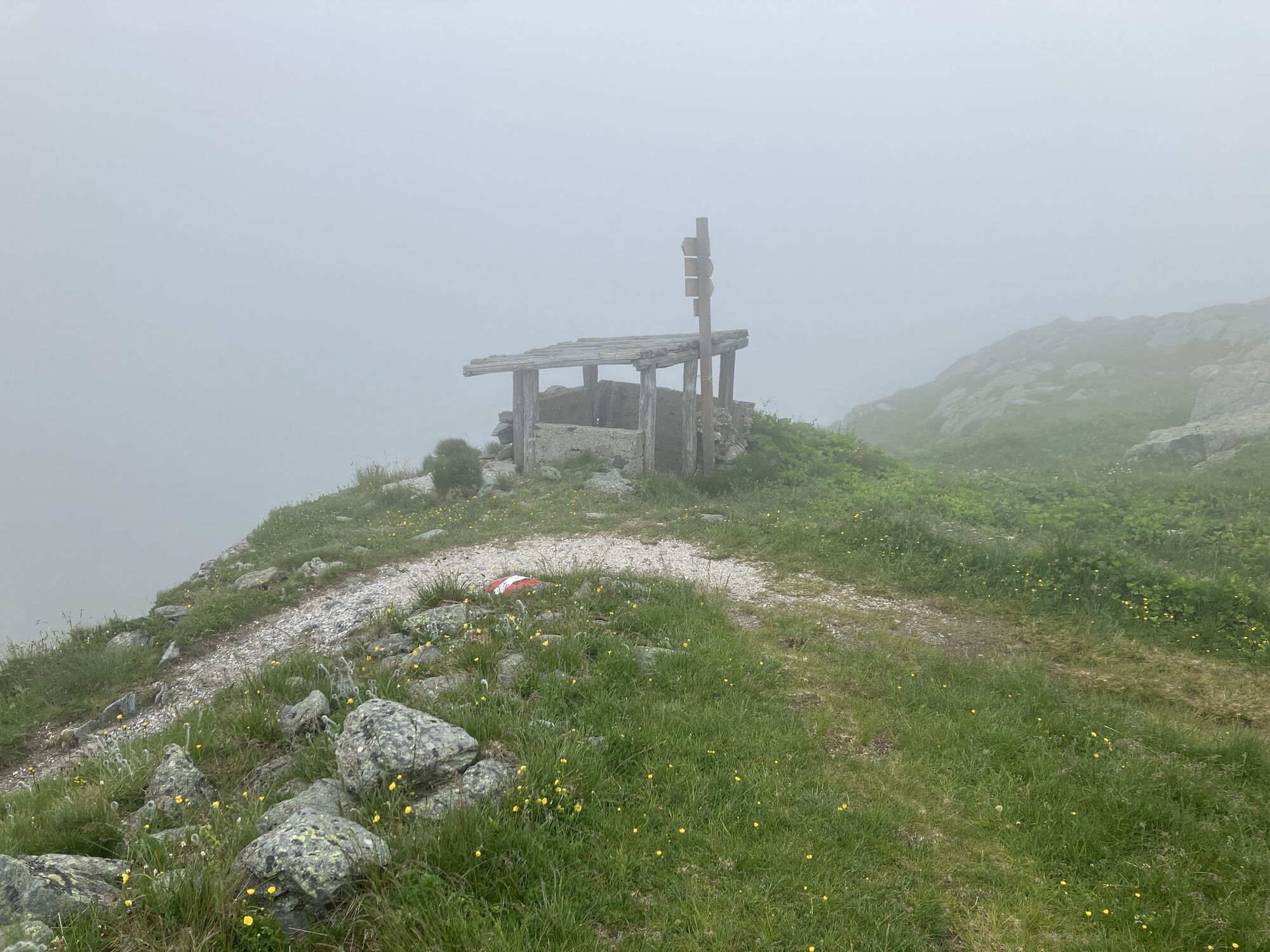
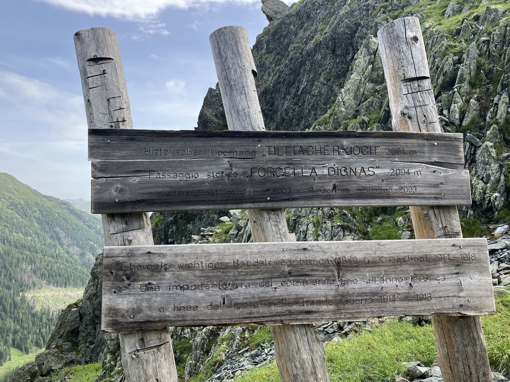
From the Obstansersee Hut, you can reach the Filmoor-Standschützenhütte via the Pfannspitze after about 3 hours walking time. Via the Rosskopfscharte and Tscharre (shelter hut) it takes 3.5 - 4 hours. From here you have a sensational view of the Großer Kinigat. The walking time from Filmoor-Standschützenhütte to Porzehütte is about 3 hours.
Da
Checklist tips:
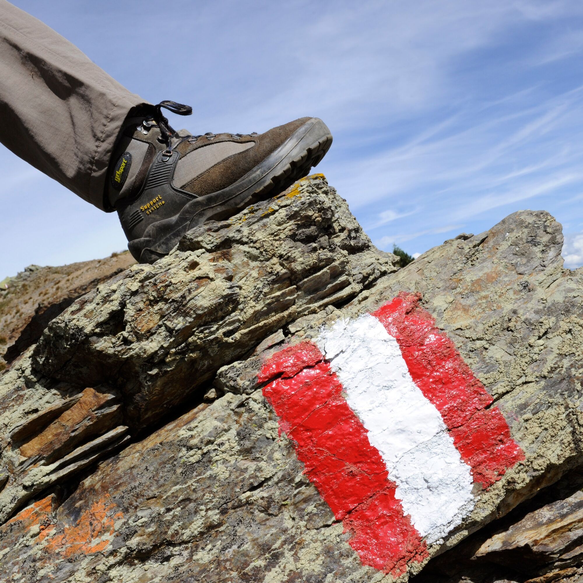
Sturdy shoes (hiking boots or mountain boots)
(Hiking) Clothing for all weather conditions: rain protection, hats, gloves, ... (according to the season)
First aid kit
Money
Cell phone or radio
Hiking maps
Backpack
Sun protection and sunglasses
Flashlight or headlamp
Catering (drinks, water bottles and possibly food)
Toiletries
ev. hiking poles
...
Mostly alpine terrain, especially in the western part of the Karnischen Höhenweg. Sure-footedness, freedom from vertigo and the ability to climb easy climbing sections are required. Conditionally partly very demanding.
from Kartitsch:
Walking time from the driveway in the Winkler Valley 2.5 - 3 hours (750 meters altitude difference)
Hiking time from the Erschbaumertal via the Rosskopftörl 3.5 - 4 hours (1,050 m altitude difference)
Parking facilities are available.
Further information is available from the Nassfeld-Pressegger Information & Service Center at +43 4285 8241 and info@nassfeld.at
In addition to the conventional route, summit ascents can also be included. Especially recommended: Pfannspitze and Großer Kinigat.
Priljubljeni izleti v okolici
-
3.9
Rotwandspitze
srednjaVia ferrata 10.6 km -
4.7
Bad Moos - Talschlusshütte - 3 Zinnenhütte - Büllelejochhütte - Zsigmondyhütte - Talschlusshütte - Bad Moos
težkoPohodništvo 23.0 km -
5.0
Pfannspitze, 2678 m
srednjaPohodništvo 15.6 km -
5.0
Heimkehrer Kreuz - Hornischegg - Sillianer Hütte
srednjaPohodništvo 9.43 km -
3.0
Hoher Bösring (2.324 m)
srednjaPohodništvo 9.70 km -
4.8
Rotwandwiesen kreuzbergpass rundweg
srednjaPohodništvo 12.0 km -
5.0
Tilliacher Joch vom Klapfsee
srednjaPohodništvo 7.27 km -
Alpinisteig
težkoVia ferrata 19.7 km -
3.0
Sextener Rotwandspitze 2.965m & Paternkofel 2.744m - Klettersteigtour in den Sextener Dolomiten
težkoVia ferrata 34.7 km -
4.4
Carnic altitude trail. Stage 3: Obstansersee Hütte – Porzehütte
srednjaPohodništvo v daljavo 11.4 km
Pohodništvo in sledenje


Ne zamudite ponudb in navdiha za naslednje počitnice
Vaš e-poštni naslov je bil dodan na poštni seznam.