







Lauschebühlweg - Harra
Stopnja težavnosti: T1
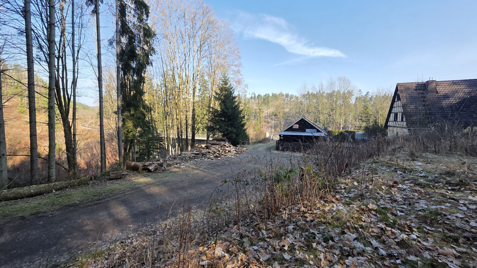
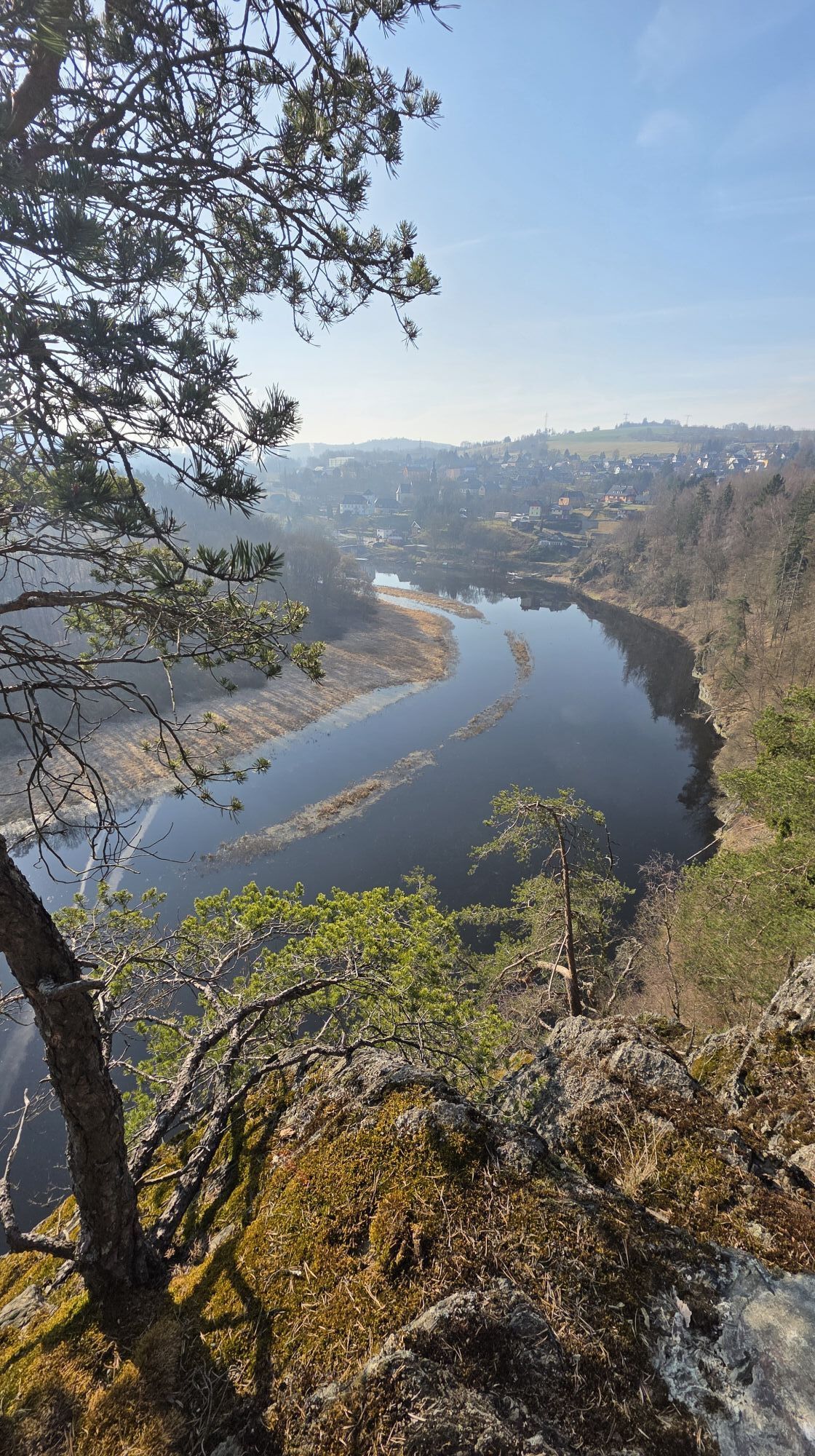
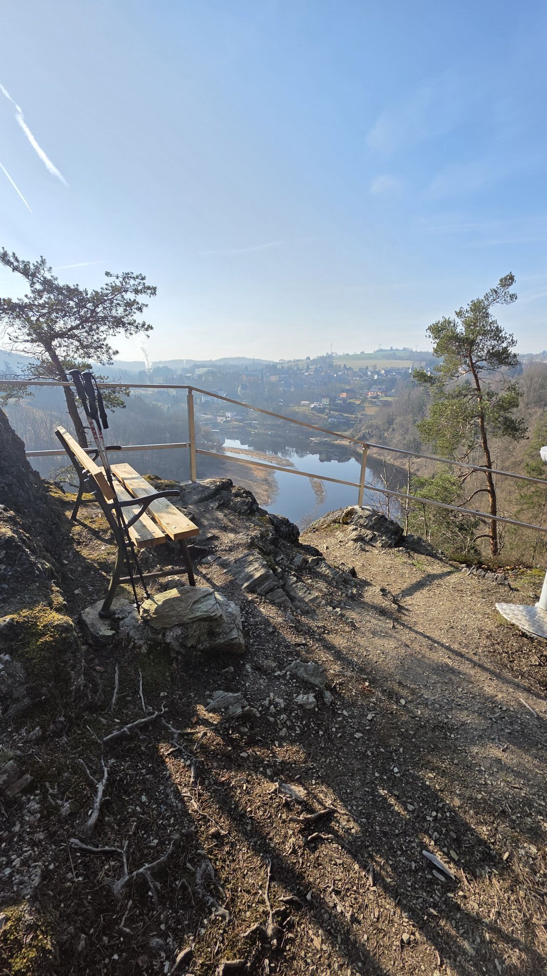
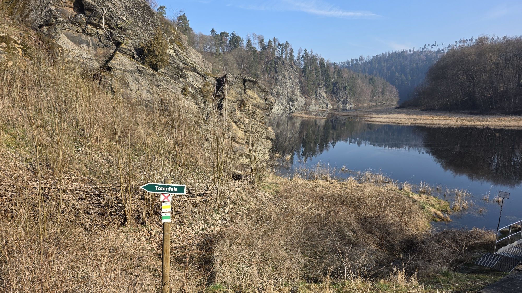
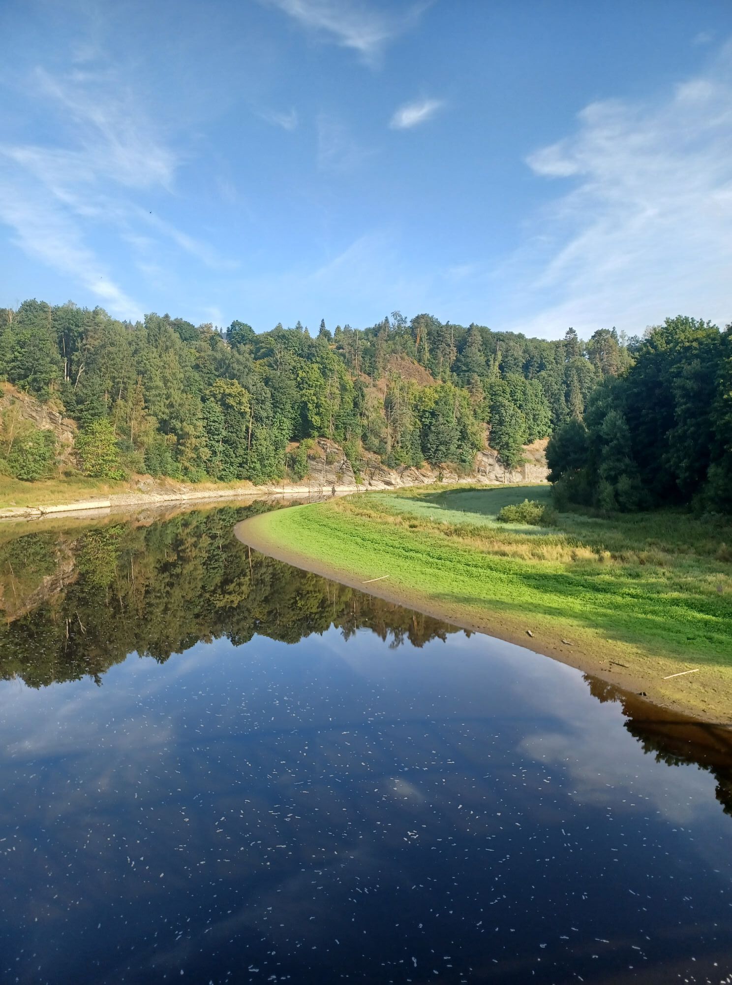
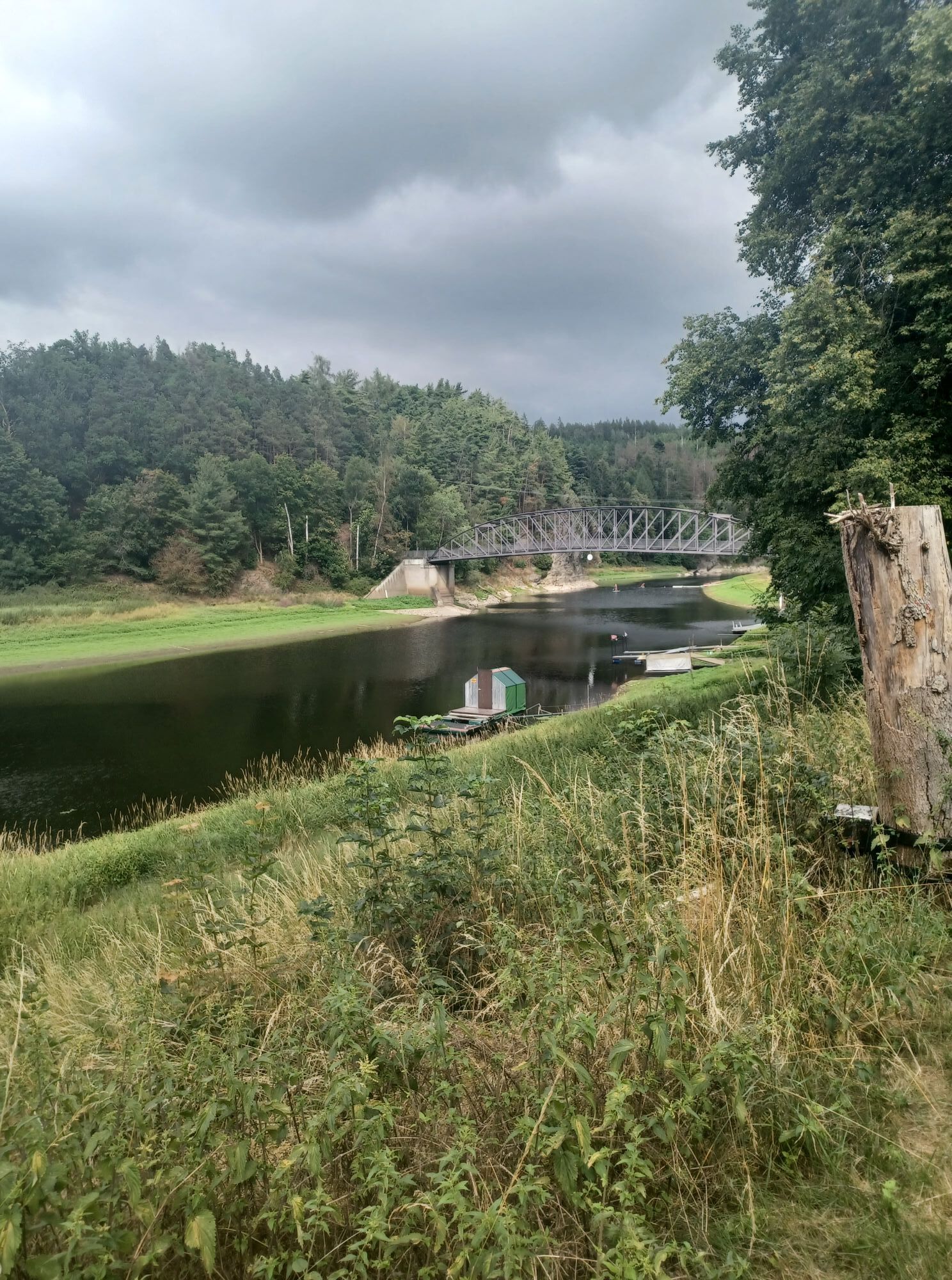
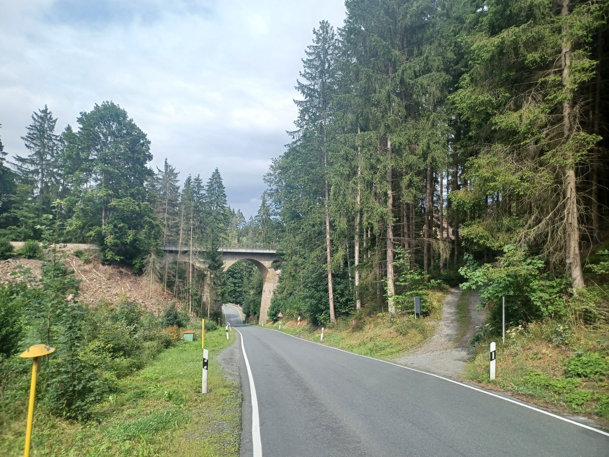
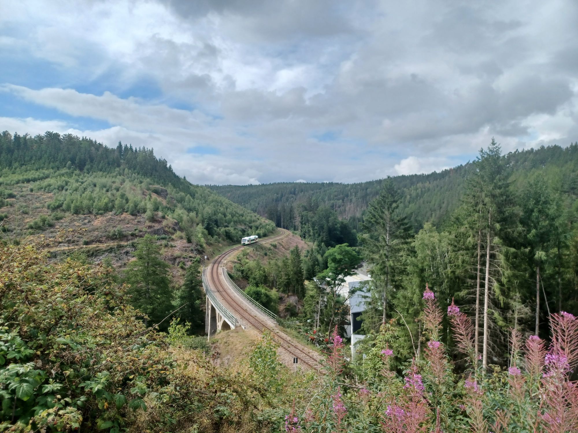
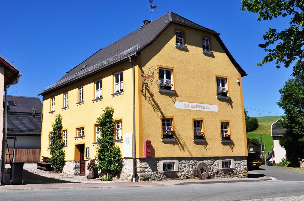
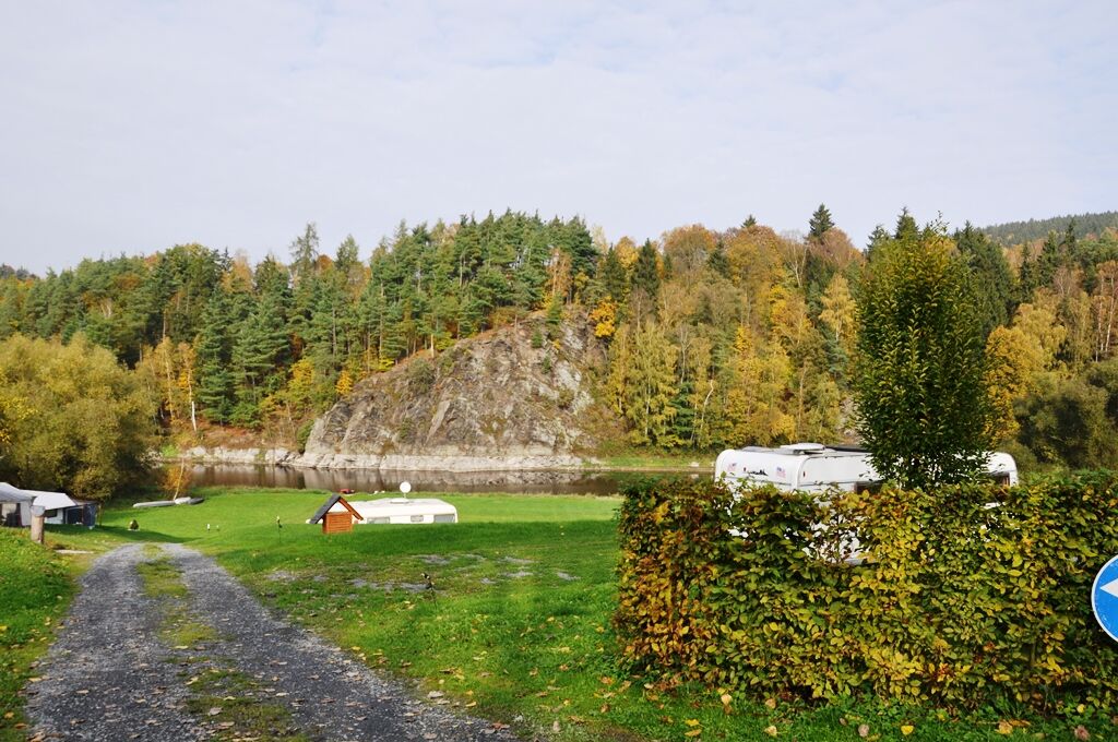
From the Saale bridge in the village we go uphill, past the campsite towards the church over the village square to the local history museum, where a visit is possible.
Through Angergasse along the Anger...
From the Saale bridge in the village we go uphill, past the campsite towards the church over the village square to the local history museum, where a visit is possible.
Through Angergasse along the Anger we hike towards Staudenwiese.
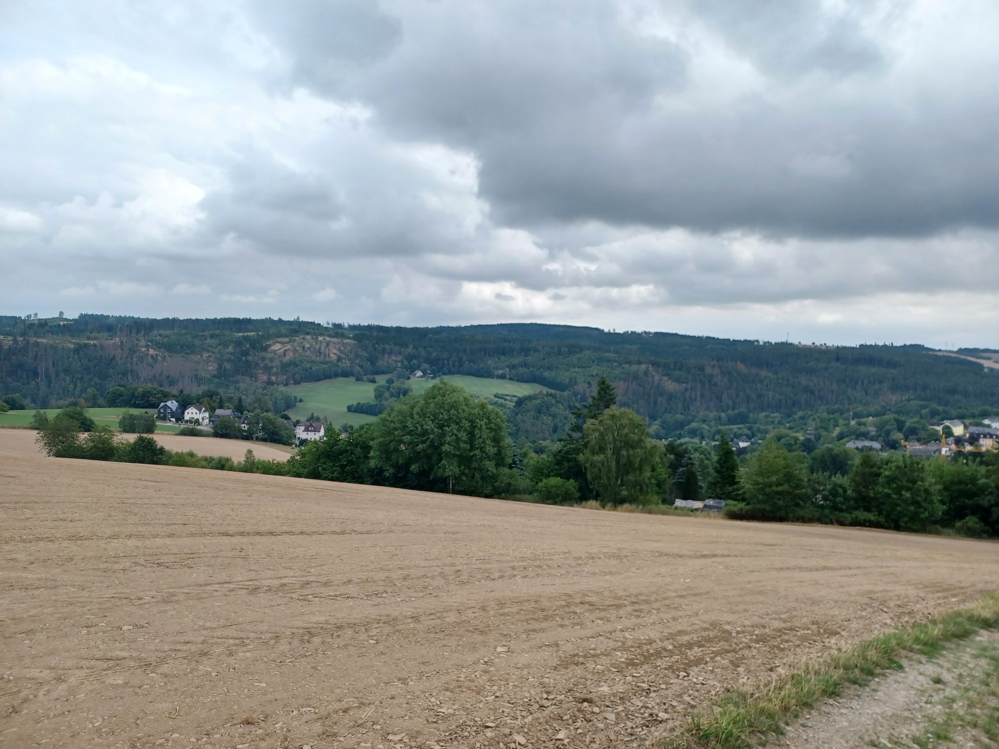
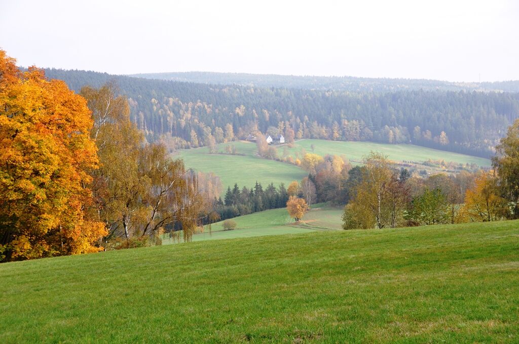
At the Lauschebühl junction we enjoy the magnificent view of Harra and Kießling.
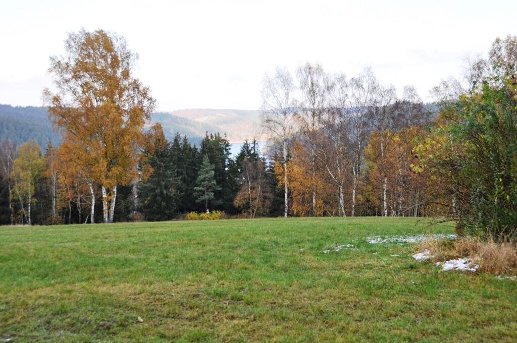
Through fields we reach the wooded Lauschebühl area, go around it to the path towards Siegeleite with a view of the Thuringian Sea.
We follow the zigzag path and descend it through the high forest to the Sieglitzgrund downhill to Lemnitzhammer, a district of Harra. Before the damming of the Saale there was a brewery and a twine factory here. The brewery “Hammerbräu” was rebuilt on the road towards Bad Lobenstein. After reunification it ceased and was demolished.
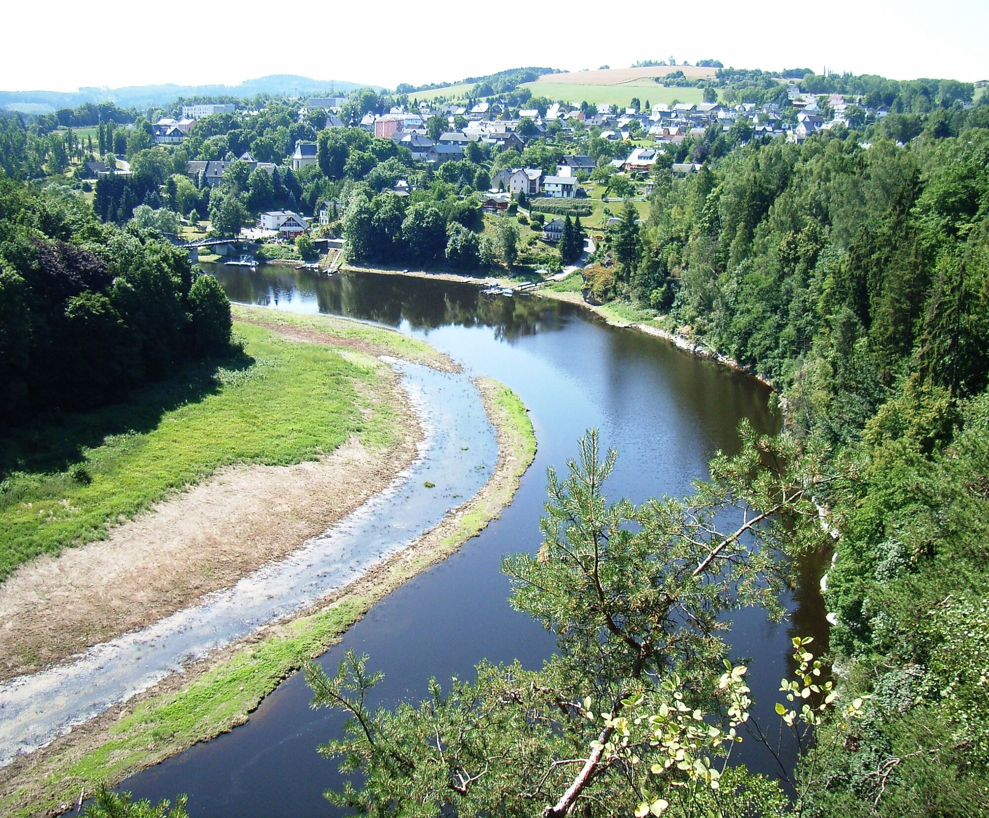
We follow the main road to the junction at Lemnitzhammer station (Harra Nord stop) further towards Totenfelsen. A detour to Totenfelsen is worth it due to the beautiful view of Harra and the Saale valley.
We continue along the path back to the starting point of the hike.



Da
Sturdy footwear is highly recommended
Arrival possible by bus and train, distance to station approx. 400m
Arrival possible by passenger ship from Saalburg/Saaldorf.
Restriction: Due to the lowering of the reservoir water level, changes in the schedules may occur.
Free parking directly at the starting point.
Charging facilities for e-bikes
T1
Priljubljeni izleti v okolici
- 4.0
Höllental über Hirschsprung und unten wieder zurück
srednjaPohodništvo 9.61 km - 4.5
Hirschberg Primeval Forest Trail - Thuringian Primeval Forest Trails
svetlobaPohodništvo 2.84 km - 5.0
Saalepfad - Circular hike at the Green Belt
težkoPohodništvo 34.8 km Rund um Schloss Burgk
svetlobaPohodništvo 7.04 km- 5.0
Circular route - Schönblickweg - Harra
srednjaPohodništvo 7.80 km Hike - Rennsteig - Stage 8 - From Brennersgrün to Blankenstein
srednjaPohodništvo 20.8 km- 4.0
Rund um die BleilochTalsperre - Saalburg Beach und zurück
srednjaE-MTB 20.1 km Venzka - Hirschberg - Saalesteg - Venzka
srednjaPohodništvo 8.24 kmRoßkunst Geopath - Harra
srednjaPohodništvo 6.23 km- 5.0
Marienstein in Saaldorf - circular hiking route - Bad Lobenstein
srednjaPohodništvo 5.67 km
Pohodništvo in sledenje


Ne zamudite ponudb in navdiha za naslednje počitnice
Vaš e-poštni naslov je bil dodan na poštni seznam.





